Castle Dome Peak
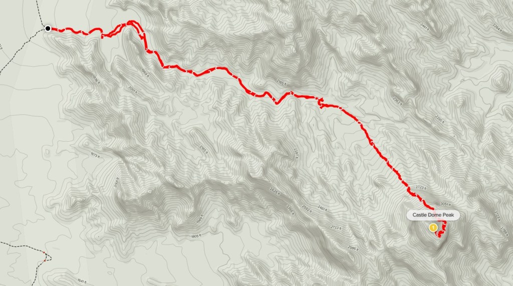
Castle Dome Peak is a 3788 foot peak in southwestern Arizona near Yuma. It is one of 2 visually striking peaks contained within Kofa National Wildlife Refuge. The other is Signal Peak which I had climbed in February 2019. Castle Dome Peak has over 2000 feet of prominence and is on the Sierra Club Desert Peaks Section (DPS) List. I left San Diego Saturday evening after Christmas dinner with some friends and drove about 3.5 hours to the trailhead described by the DPS guide. From US-95 I went northeast on Castle Dome Mine Road through Yuma Proving Ground about 5.5 miles and then turned north onto McPherson Pass Road which I drove on for about 7 miles and then parked. This differs from the DPS directions by avoiding the Castle Dome Mine which is private property. I started hiking Sunday morning at 6:52am from 1707 feet above sea level.

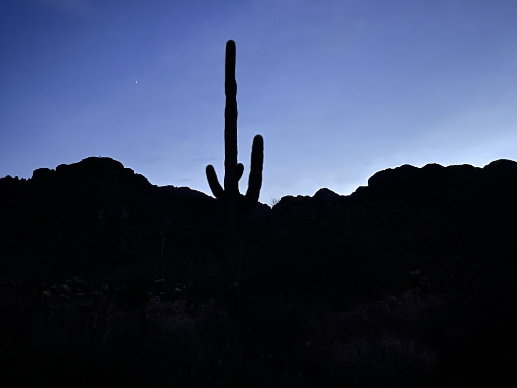
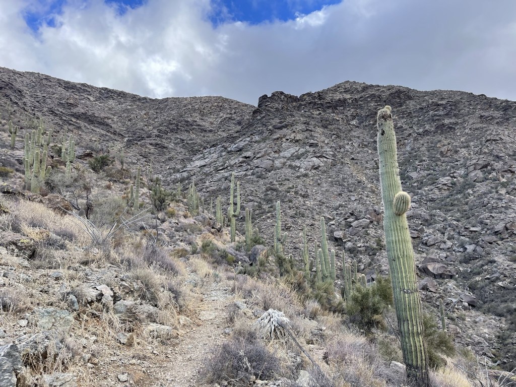
I hiked east into the mouth of a large wash by the light of my headlamp. I took a cool picture of a saguaro silhouetted against the soft morning light.
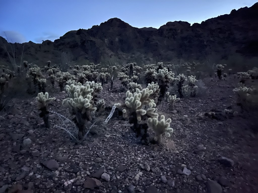
I cut northeast through a field of teddy bear cholla.
I proceeded east up the large wash. The grade was very gentle for the first mile or so.
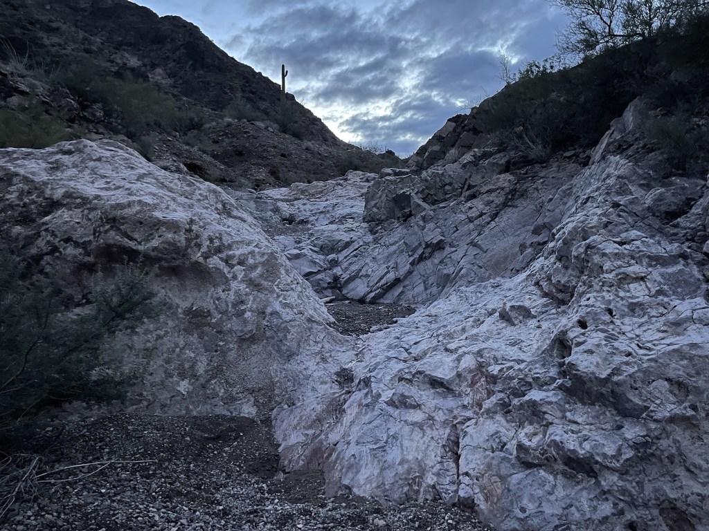
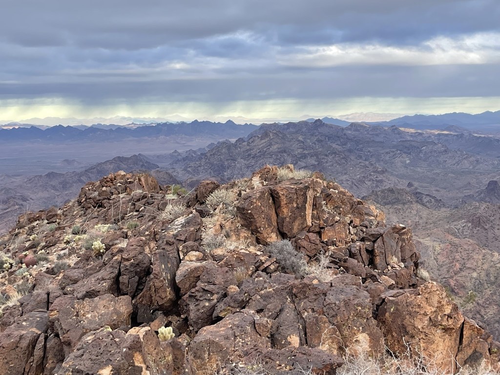
The peak came into view in the distance.

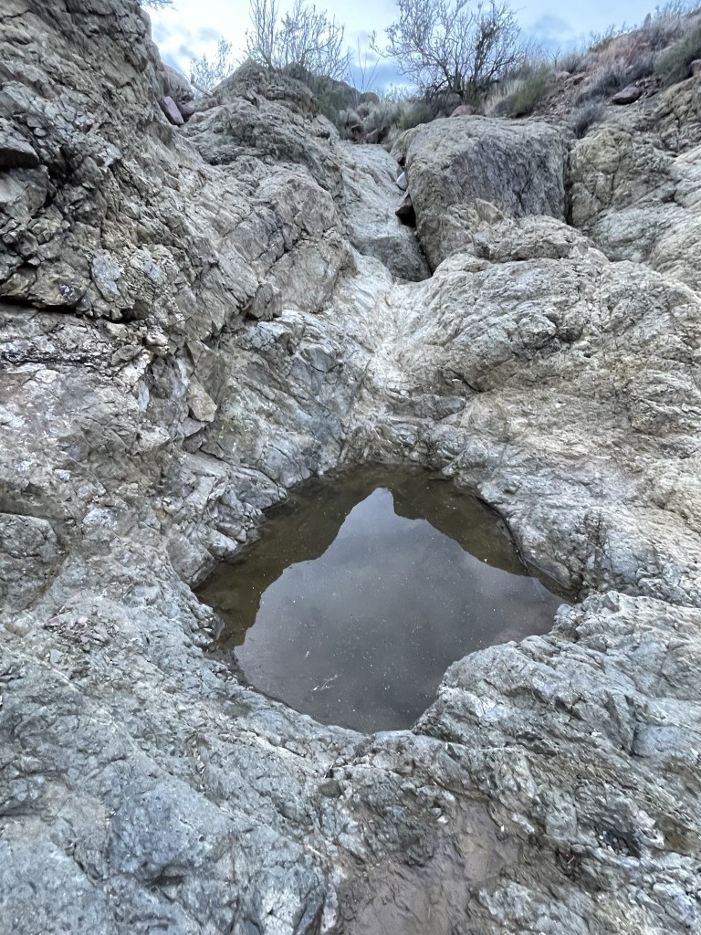
There were numerous pools of water from the recent rain.
At 1.8 miles I exited the wash to the south and then proceeded southeast towards the peak.
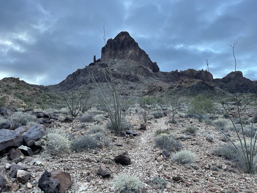
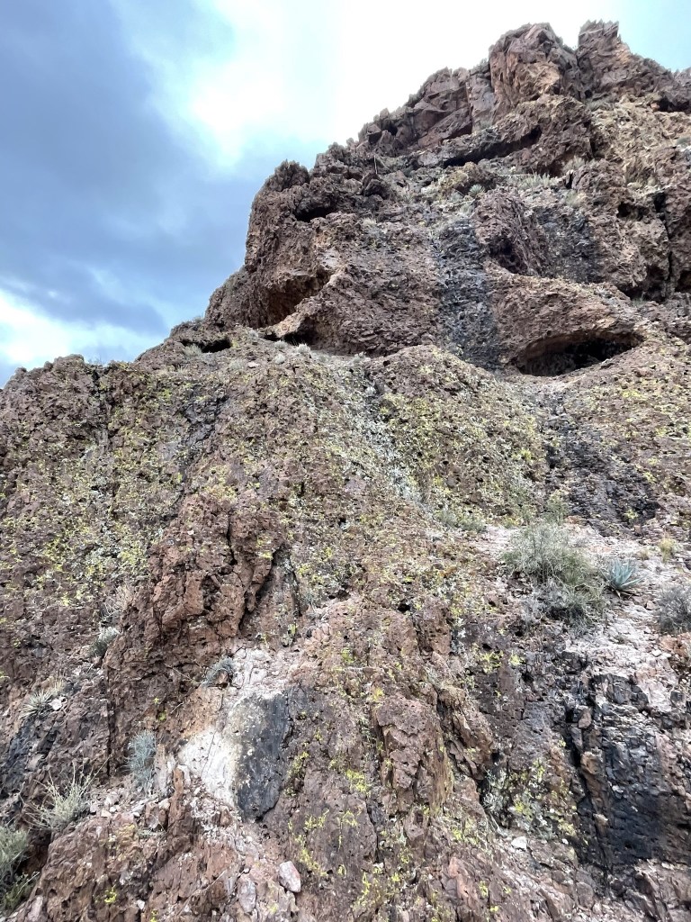
Castle Dome’s north face looked very intimidating as I approached, but I knew there was a class 3 route up the back side.
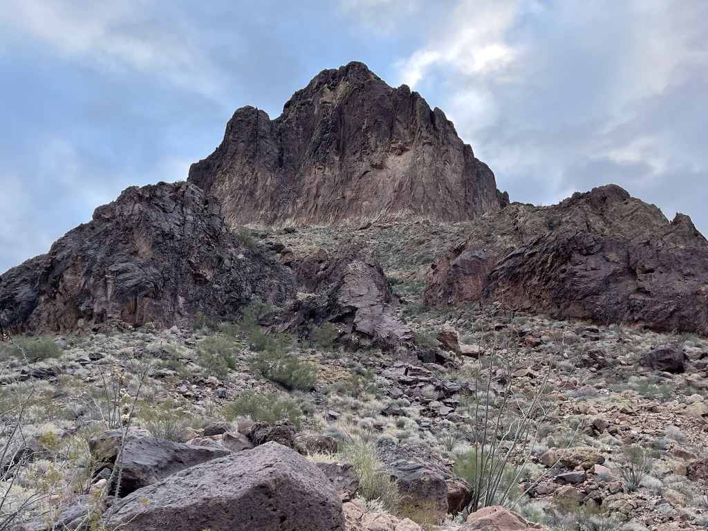
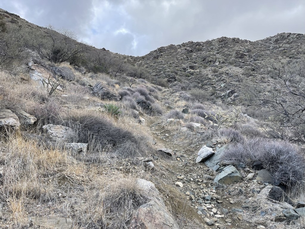
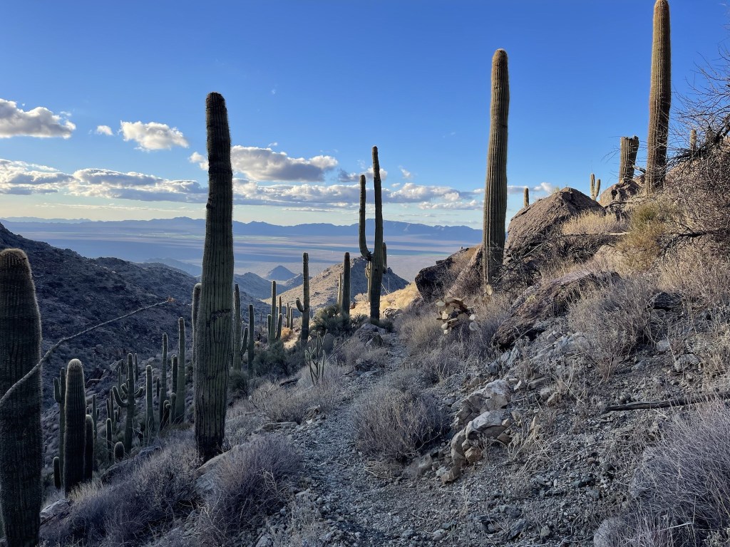
I was able to follow a decent use trail as I continued climbing.

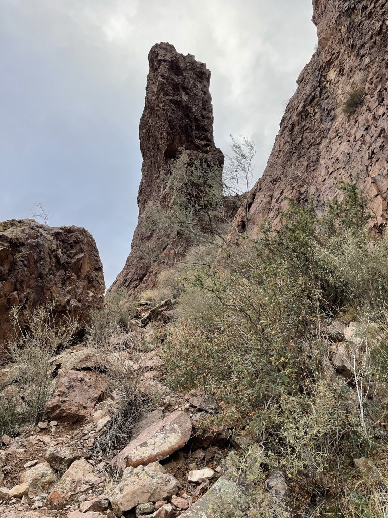
The use trail went right up to the base of the peak and then wrapped around to the east.

I followed the route around to the east and climbed up between a lone rock pillar and the peak itself.
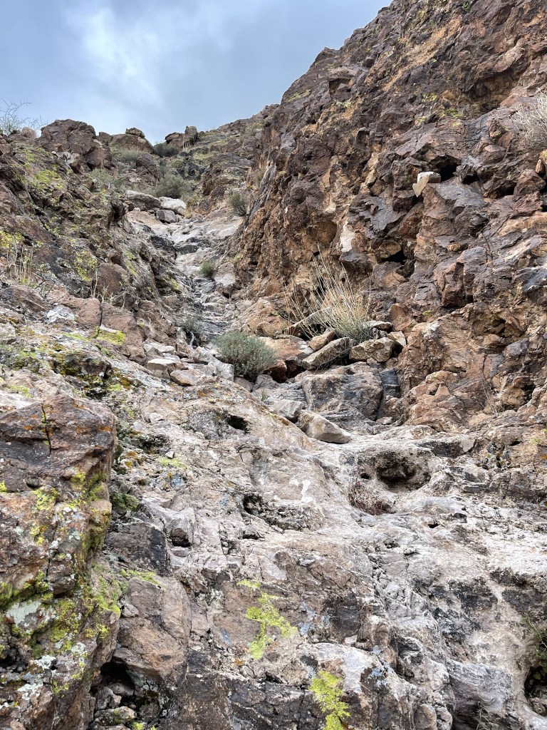
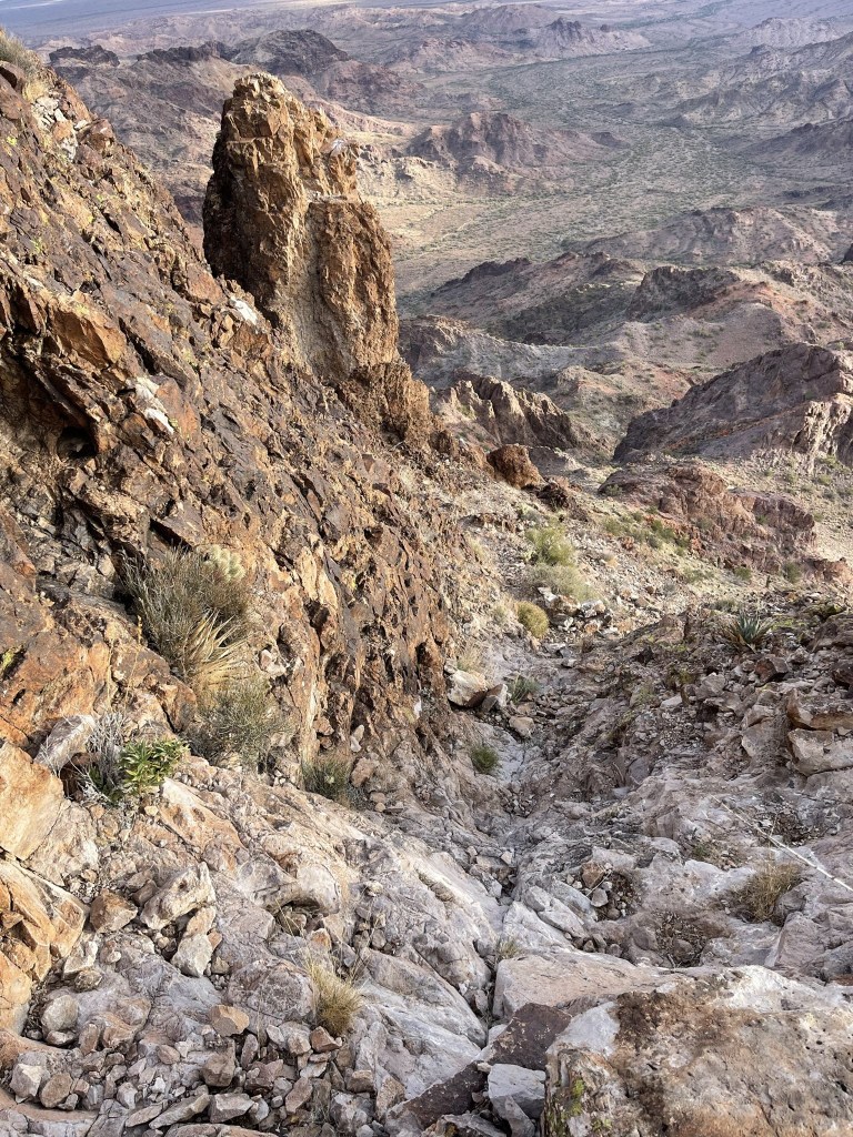
I hiked to the saddle between the peak and the rock pillar and then climbed a steep class 4 chute. I wasn’t expecting any class 4 so I was surprised about this, but I realized later that I had missed an easier class 3 chute just before the saddle.
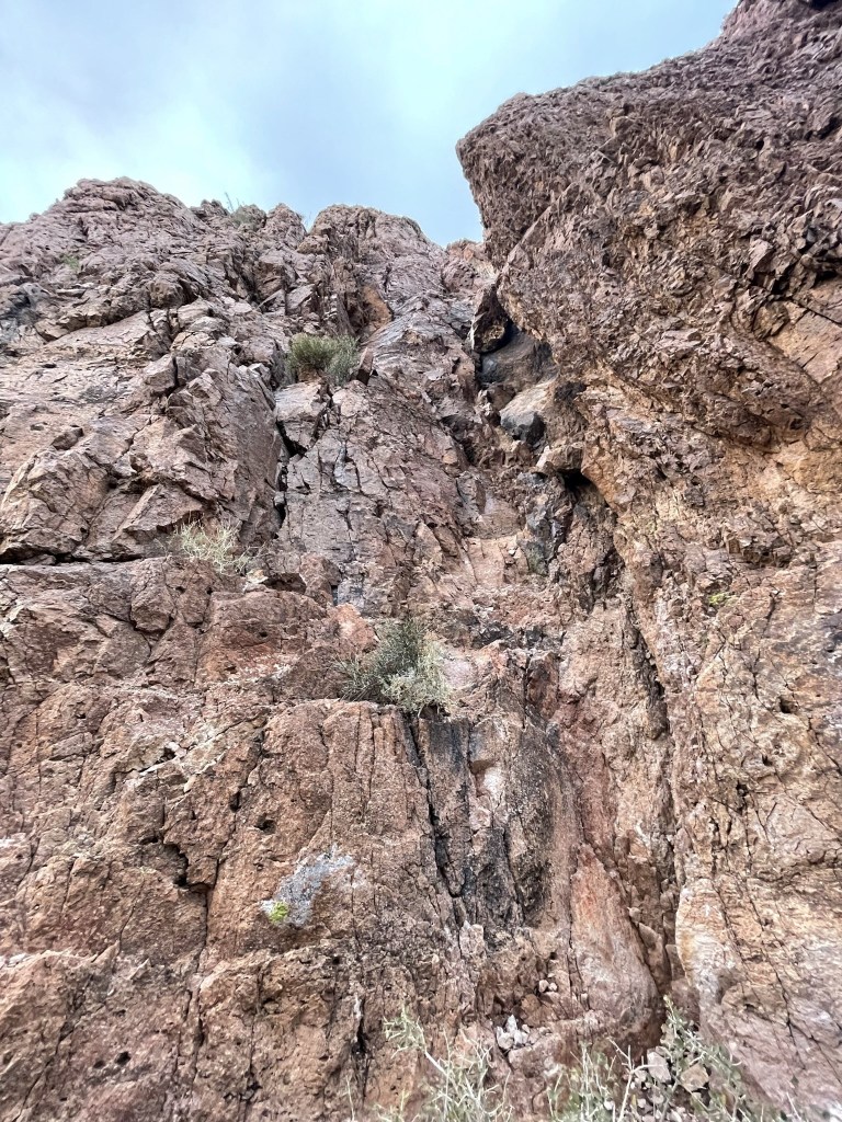
There was more scrambling above the chute.
I climbed up a chute of white colored rock just below the summit.
I reached the summit at 8:35am at the 3 mile mark!

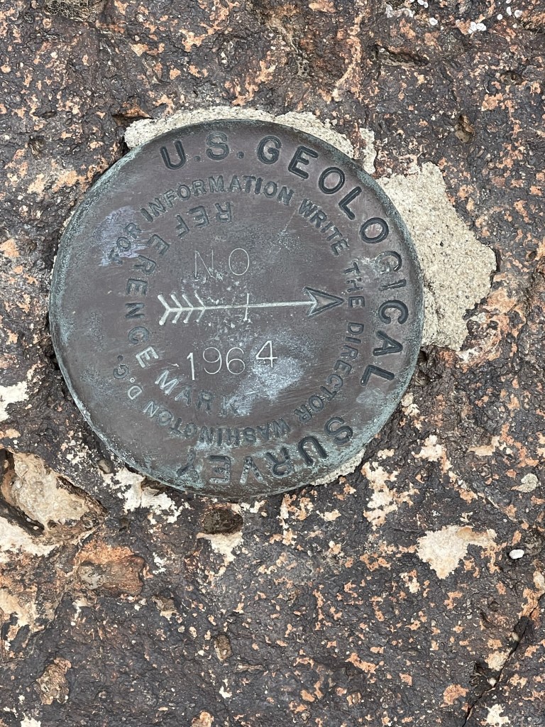
I signed the register which dated to 2017. The most recent entry was from December 23. I did not find the benchmark, but I did locate 2 reference markers.

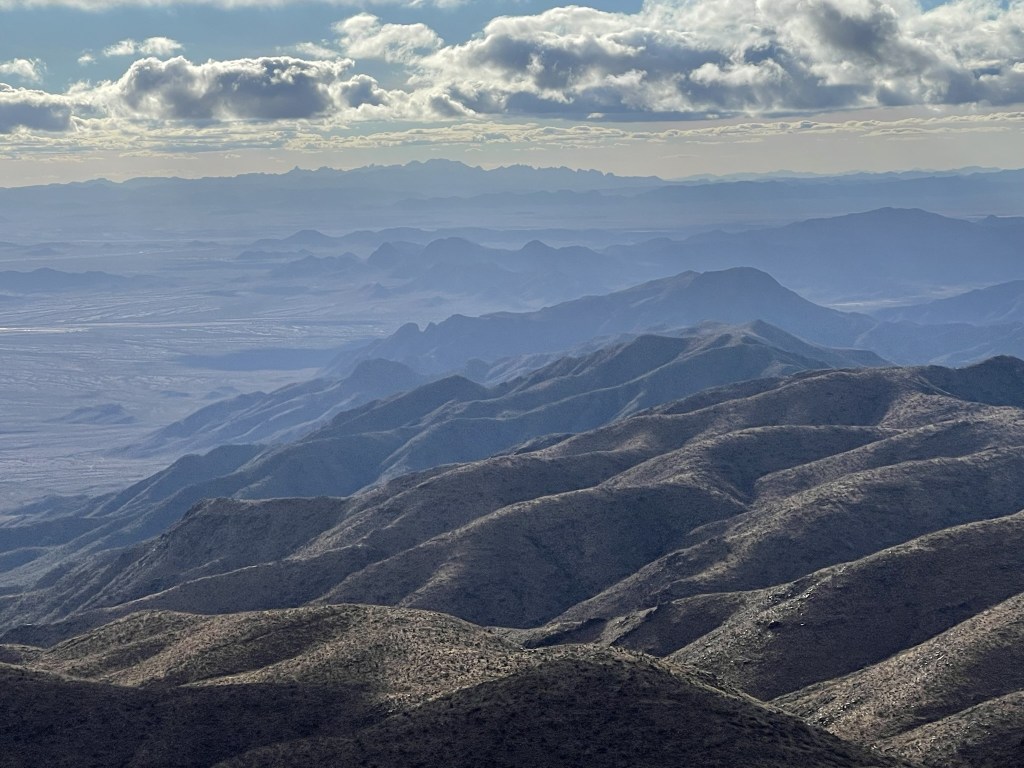
The views were pretty good despite some cloud cover. I could see the massive Signal Peak to the north.

I could see Harquahala Mountain to the northeast (the peak you can barely see in the background). I planned to climb Harquahala in the afternoon.
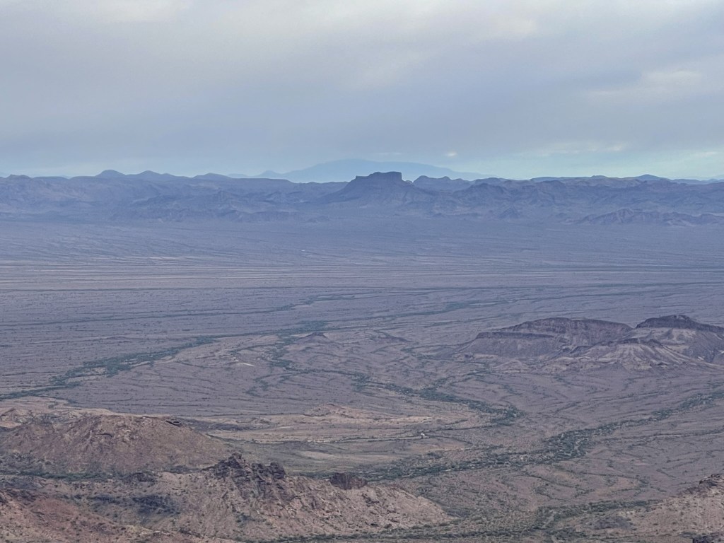
To the east I could see the rest of the Castle Dome Mountains.

To the south I could see into Mexico.

And to the west I could see the various desert ranges of southeastern California.
I began descending after a 15 minute break. I had some minor route finding issues coming off the summit but eventually got back on track.
I managed to find the easier class 3 chute to descend near the rock pillar.

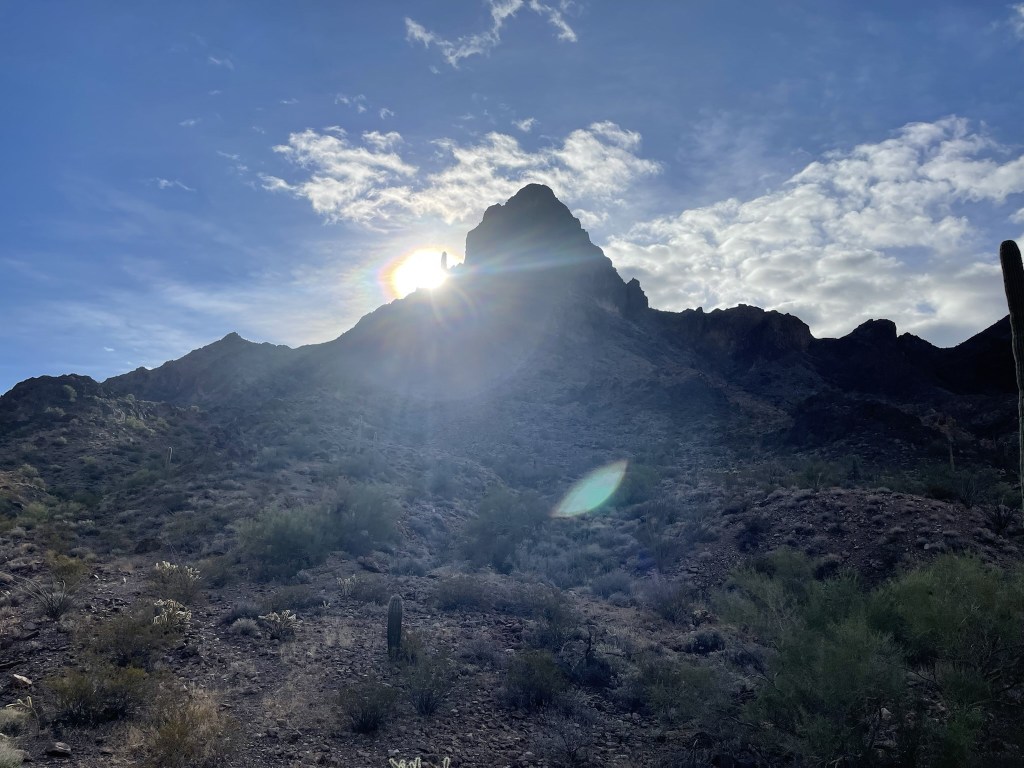
From there I retraced my steps down the use trail and back into the wash. I got a cool picture of the sun peaking out from behind the mountain.
I reached the car at 10:18am. This hike totaled 5.98 miles, 2064 feet elevation gain, and 3:25:31 total time.

Harquahala Mountain
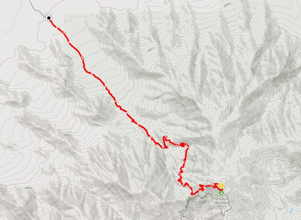
Next up was Harquahala Mountain. At 5681 feet, Harquahala Mountain is the highpoint of La Paz County and the highest peak in all of southwestern Arizona. There are 2 ways to reach its summit. The first is a long 4wd road from Eagle Eye Road to the south, and the second is a 5 mile trail from the north. Obviously I opted for the trail approach, so I made the long 2.5 hour drive from the Castle Dome Mountains to the trailhead on the north side. From US Highway 60, I drove 2 miles south on a good dirt road to reach the trailhead. This road is in excellent shape but there are 1 or 2 sections near the beginning that you’ll probably want high clearance for. I began this hike at 1pm from 2310 feet above sea level.

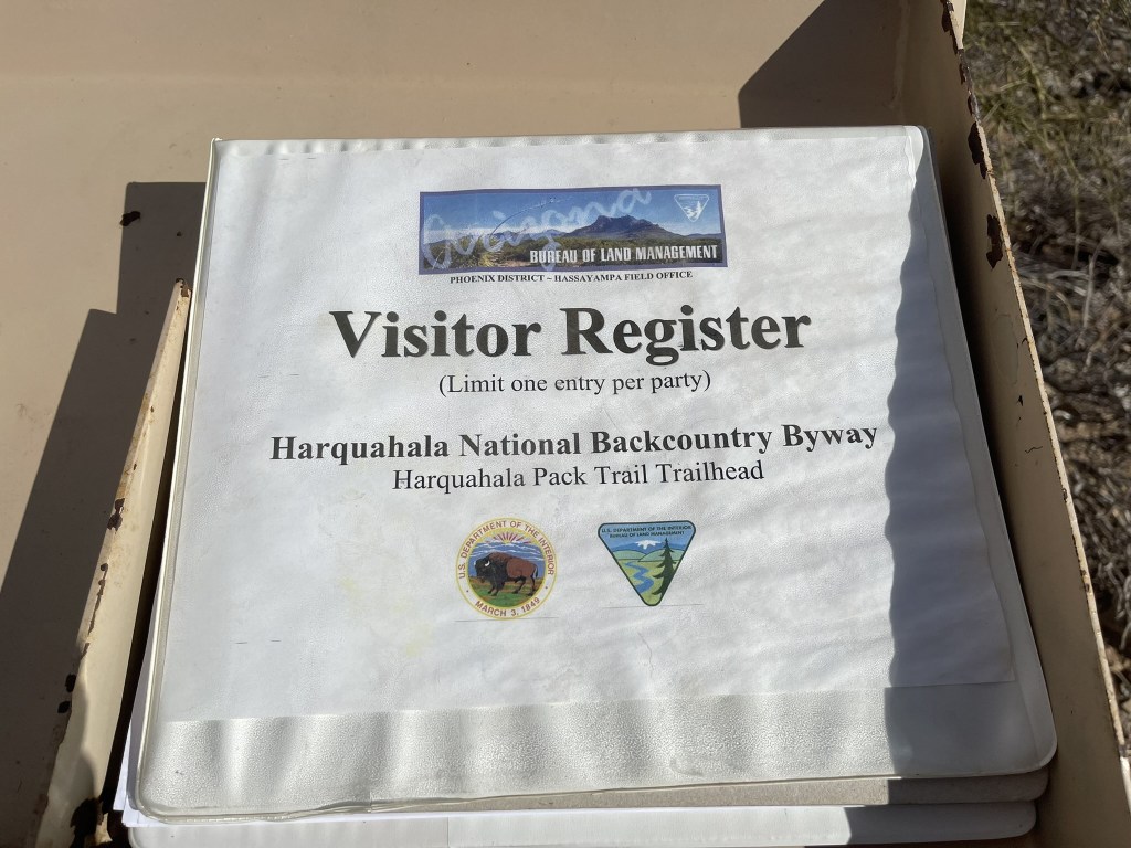
I entered my name into the visitor register at the beginning of the trail.
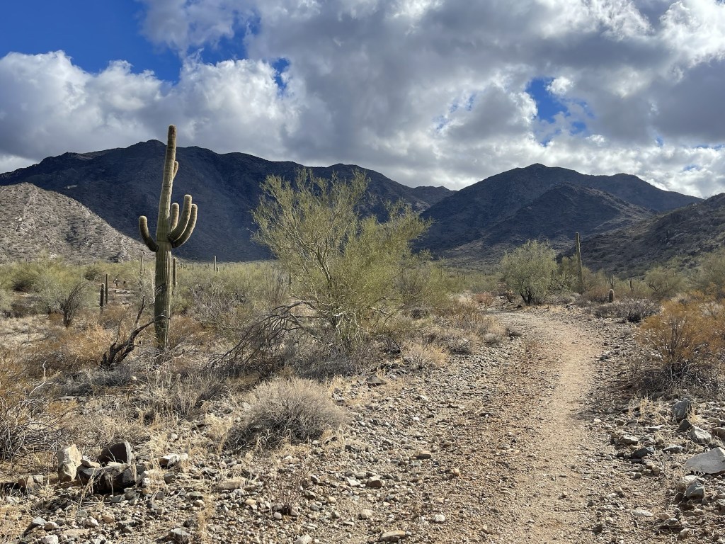
I followed the trail as it approached the mountain from the north. There was once a functional observatory on the summit and the trail is apparently an old pack trail that the scientists use to haul supplies to the top.
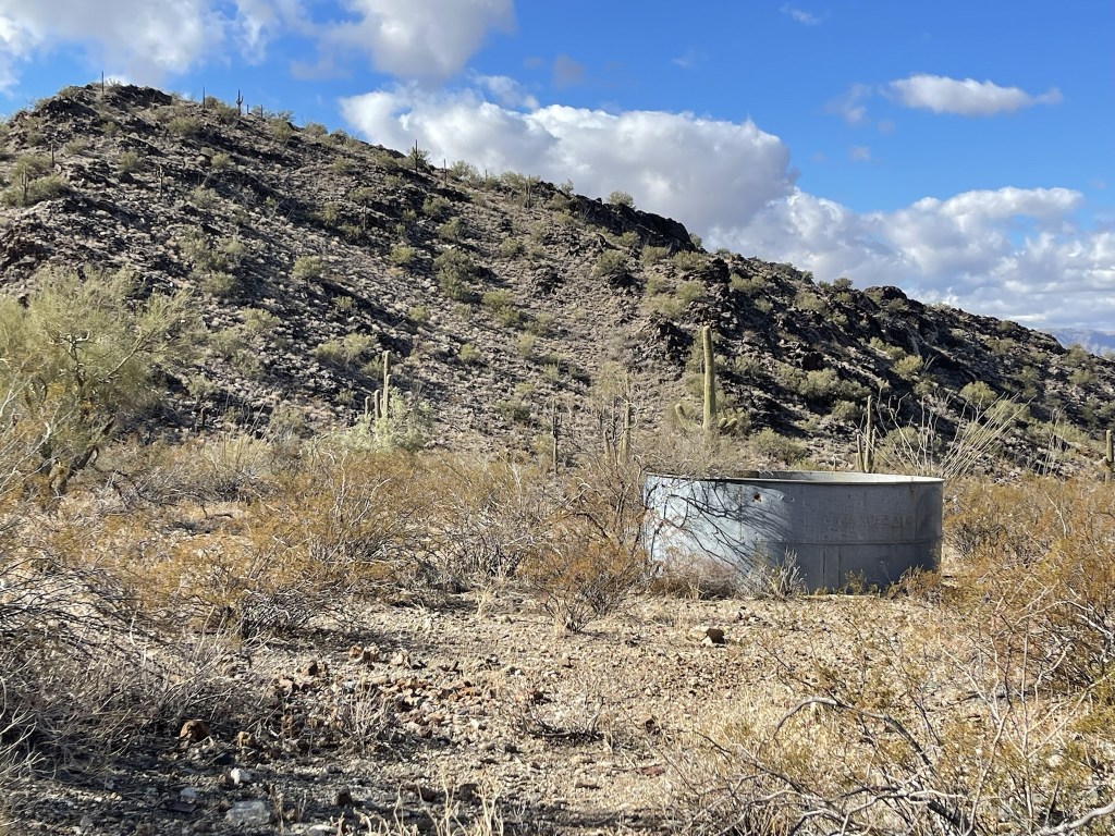
I passed near a basin of some kind.
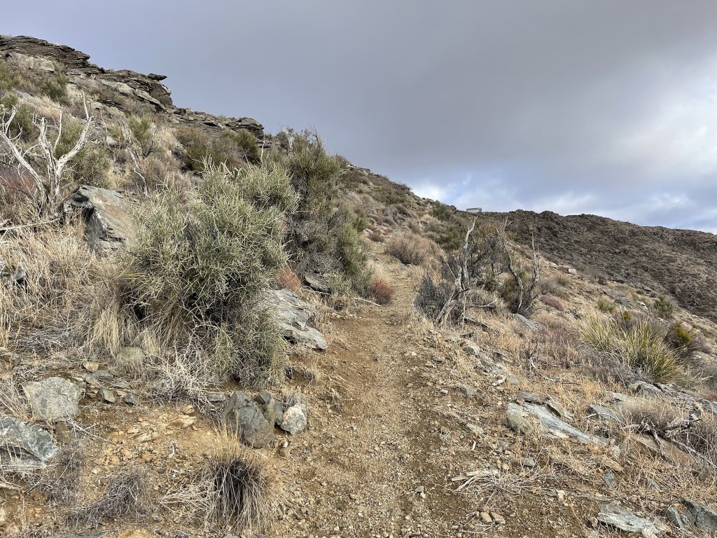
The trail started to gradually gain elevation.
I passed 2 guys on their way down about a mile or so into the hike. I had seen their car at the trailhead.
I passed near the remains of an old mining camp.


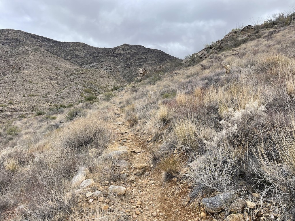
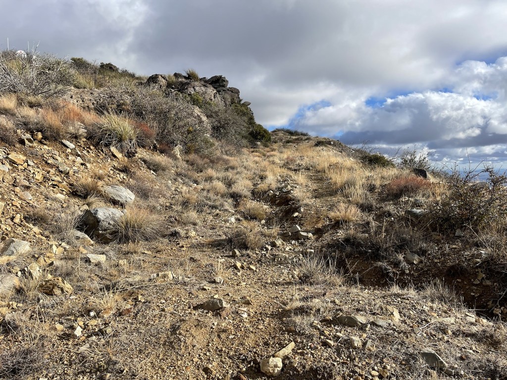
The trail got steeper as it made switchbacks up the northwestern side of the mountain.
The wind picked up as I neared the top.
I intersected the dirt road just beneath the summit.
I reached the summit at 3:20pm at 5 miles! I did not locate a register, but I did find one reference marker.

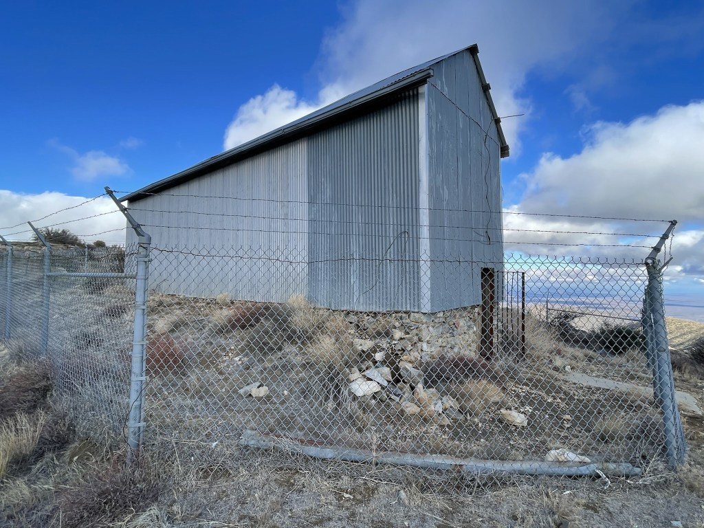
The old observatory building was still standing.
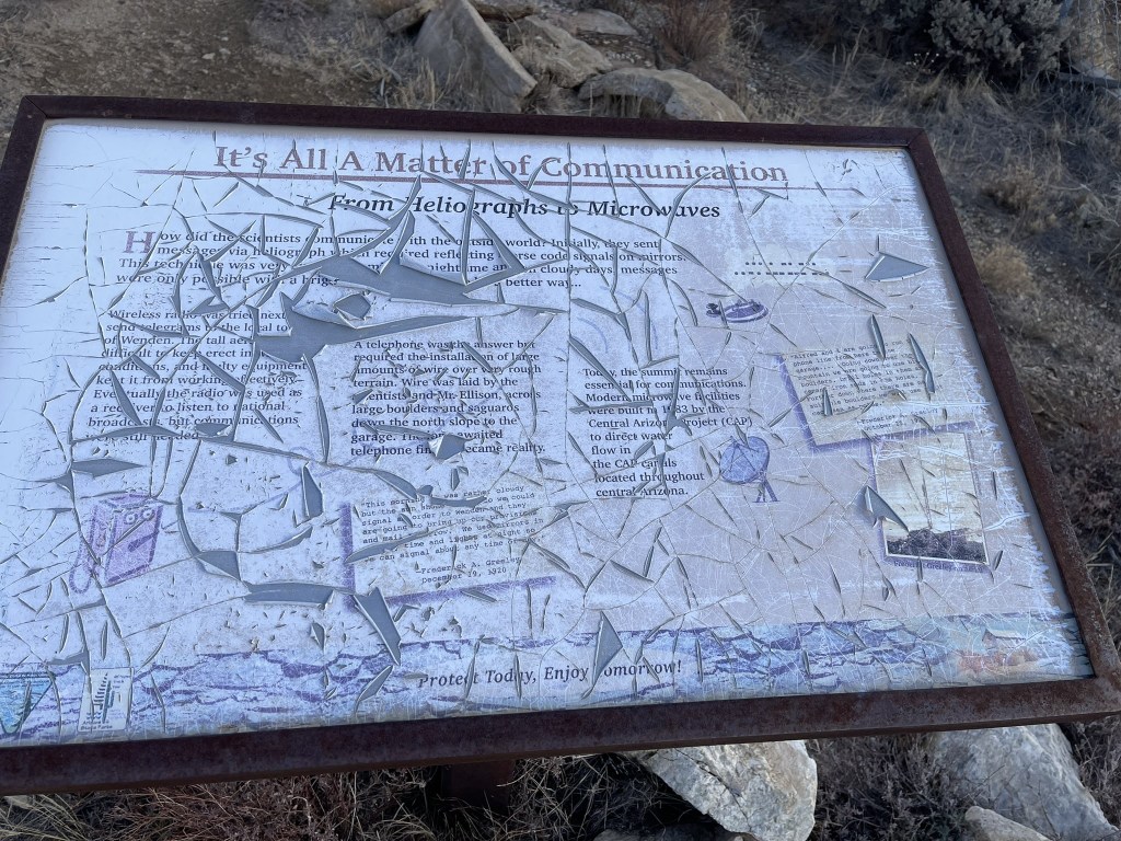
There were a few information boards, but they looked like they had been beaten to death by the weather.
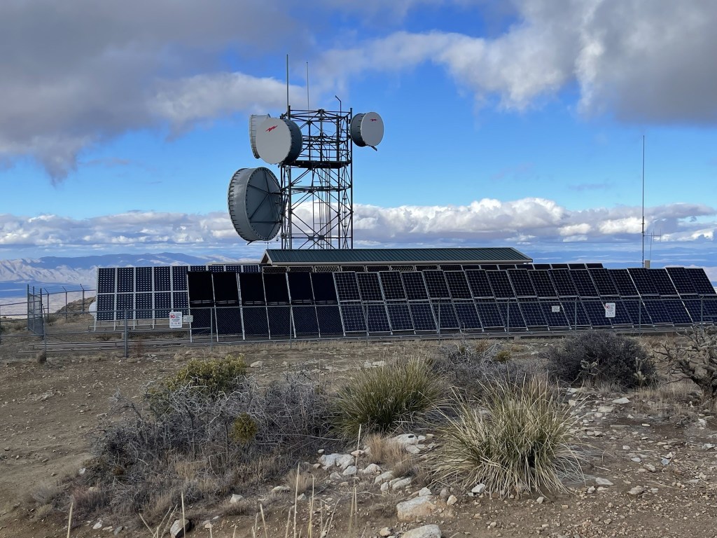
There was also a comm tower and some solar panels.
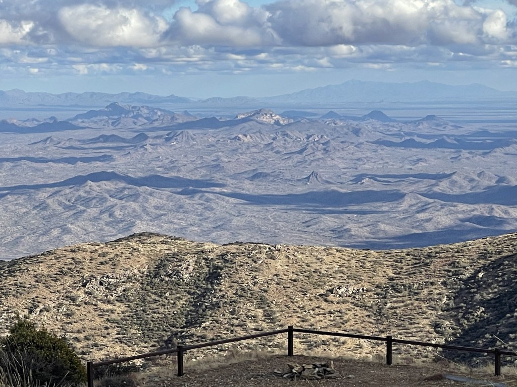
To the southwest I could see Castle Dome Peak (the thumb looking peak in the center).
And Signal Peak right next to it.
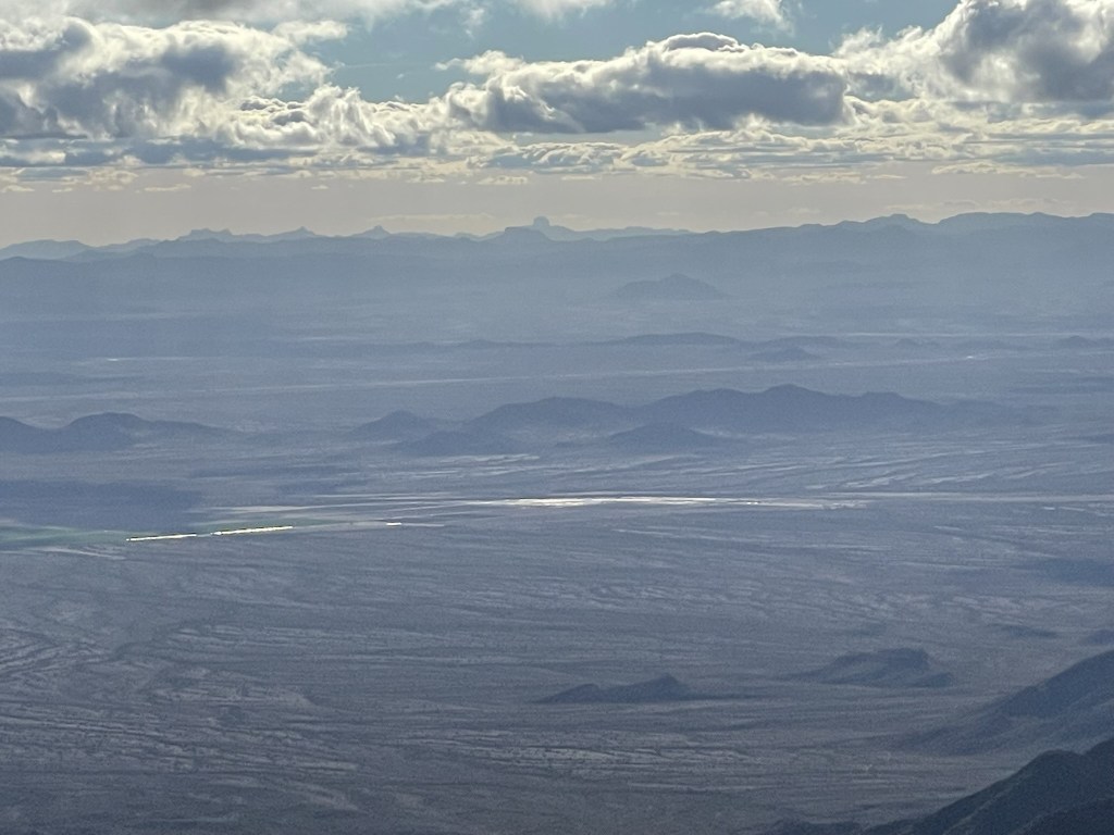
To the southeast I could see the Sierra Estrella range, which I planned to climb the highpoint of the next day.
I couldn’t see much to the north due to cloud cover. I was absolutely freezing on the summit, so I didn’t stay too long. I was frustrated with myself for not packing a hat and gloves with me. Before heading down I tagged the wilderness highpoint, which is located just below the road north of the peak. This is one of those wilderness areas where the summit is excluded from the wilderness boundary due to the manmade structures and road leading to the top. Once I finished that nonsense, I retraced my steps down the trail.
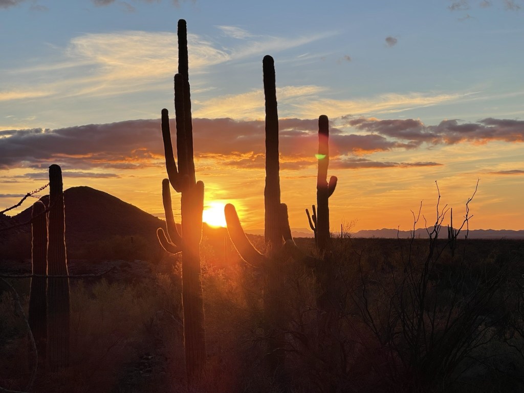
The sun was setting as I neared the trailhead.
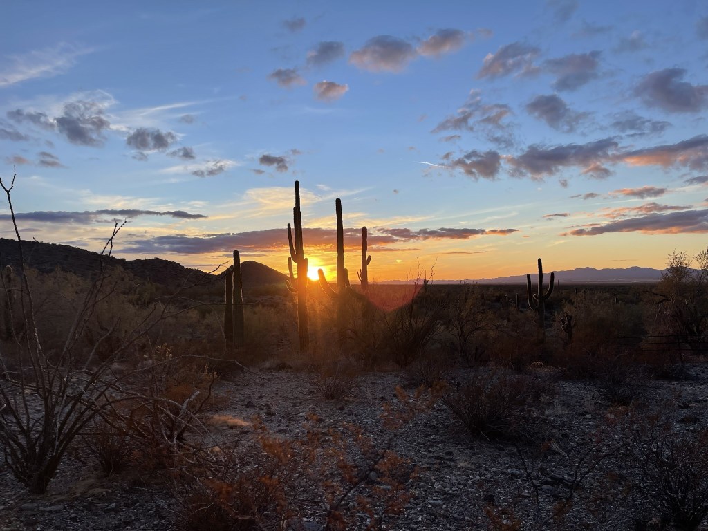
The saguaros are so picturesque!
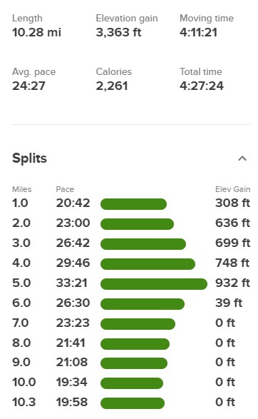
I reached the car at 5:28pm. This hike totaled 10.28 miles, 3363 feet elevation gain, and 4:27:24 total time.
I packed up and made the long drive to the trailhead for the Sierra Estrella Highpoint. I feel asleep early and had a great night of sleep.
