Hayes Peak (Sierra Estrella High Point)
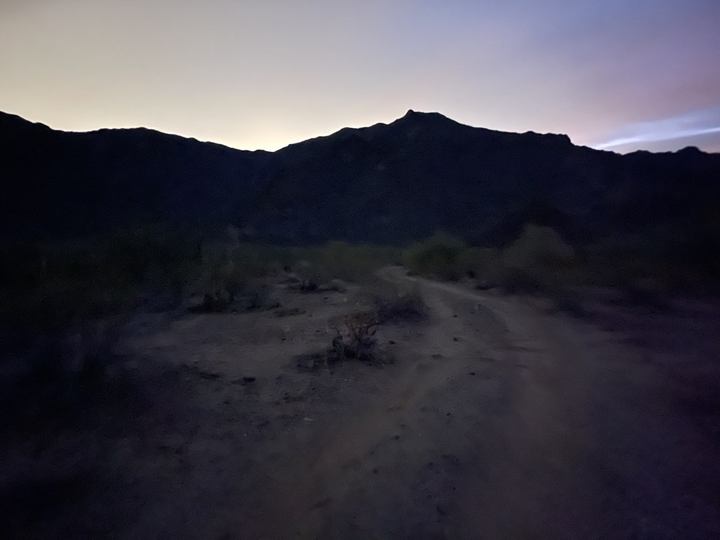
The Sierra Estrella is a small desert range southwest of the Phoenix metropolitan area. The highpoint of the range, known as Hayes Peak, is only 4512 feet above sea level but has an impressive 3212 feet of prominence. Despite being so close to one of the largest cities in the country, the trailhead is pretty remote and hard to reach. I took Rainbow Valley Road south from Goodyear to Riggs Road. I went east on Riggs Road and continued on it for 5 miles after it turned to dirt at Bullard Ave. I drove to the end of Riggs Road and then went northwest on a power line road for about 2.5 miles. Next, I turned right onto a spur road which is where Ocotillo Road meets the power line road. This road continues east for about 0.3 mile, but I parked at the intersection since reports indicated this spur road is very rough. Riggs Road had some big ruts, but I was able to bypass them via a side road that parallels it on the south. This side road is likely suitable for any car. The power line road is very rough and requires high clearance and 4WD/AWD for various wash crossings. I had driven in the night before, so I was ready for an early start on Monday morning. I began hiking at 6:40am from 1410 feet above sea level.
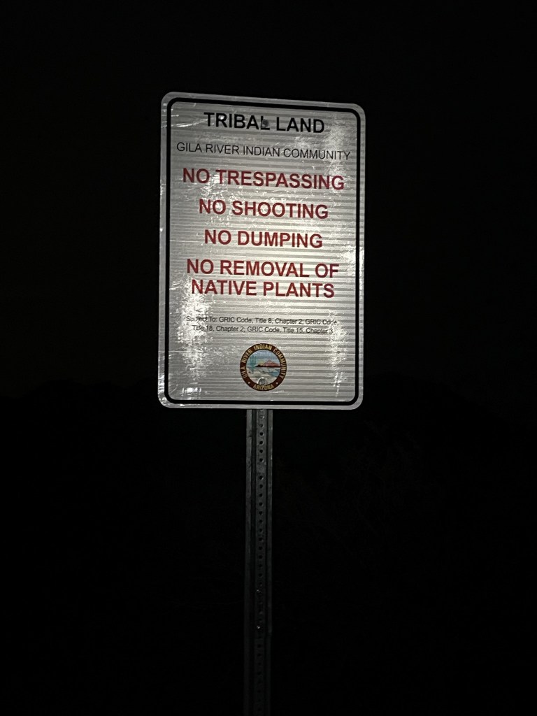
I crossed into the Gila River Indian Reservation. I had parked just outside the boundary.
I set off by the light of my headlamp. It was pretty dark, but the half moon helped.

At 0.3 mile I reached the end of the road. I continued northeast across the desert.

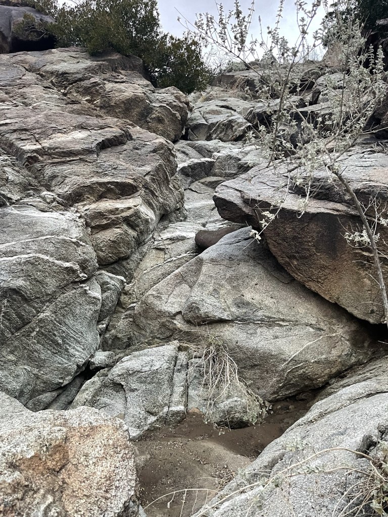
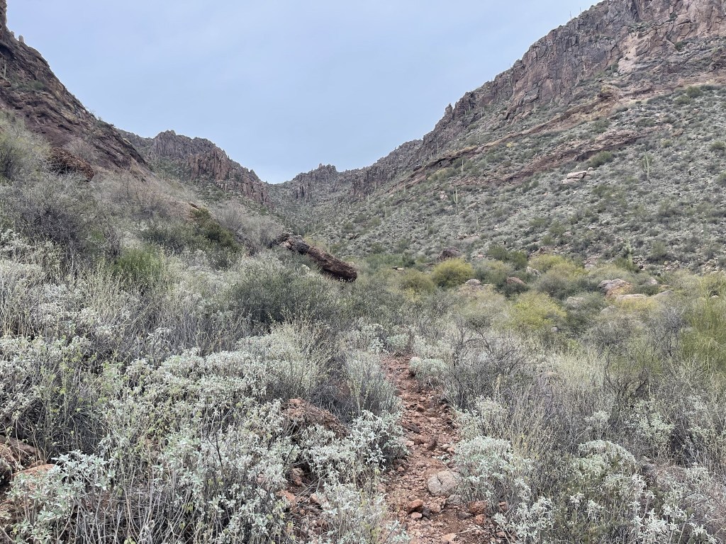
The terrain was very rocky as I entered the mouth of a large wash.
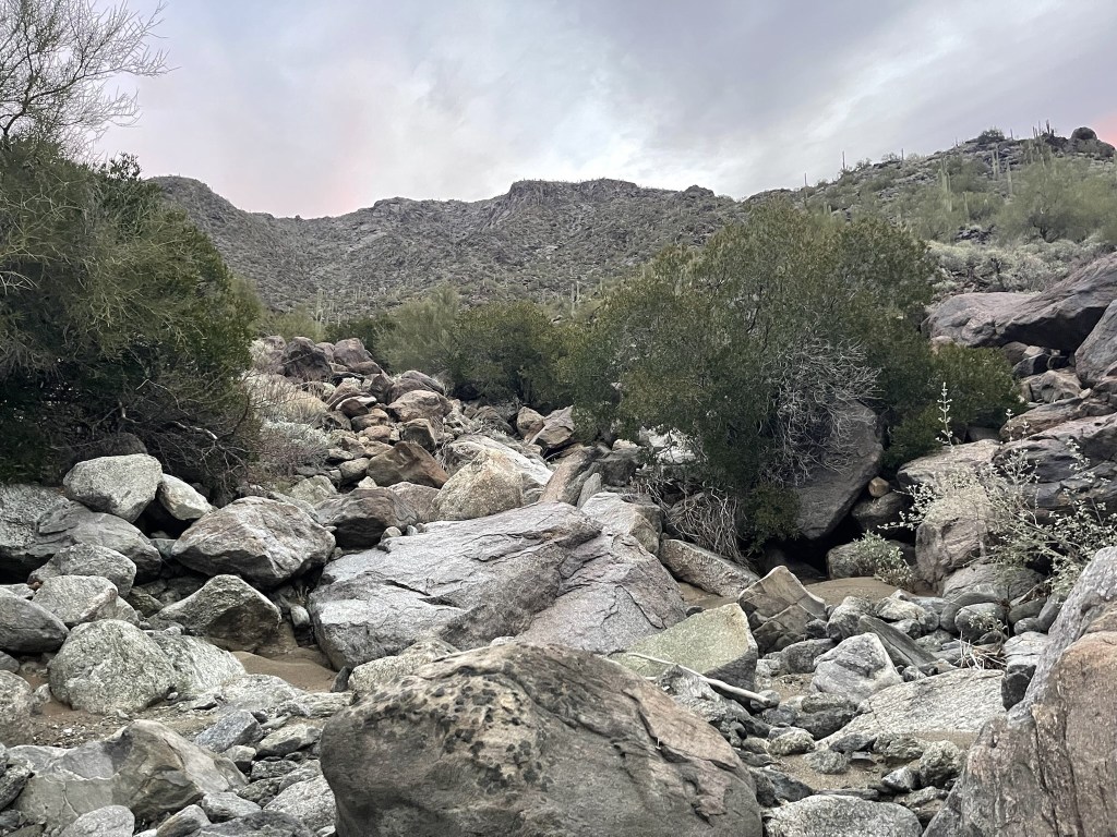
The wash steepened and narrowed as I climbed.
I felt somewhat rushed since I knew I had a long drive to my afternoon hike, and then another long drive home. The wash eventually ended, so I continued up the rocky slope. It was mostly class 2 scrambling with some easy class 3 mixed in.
It got very steep as I neared the ridge.

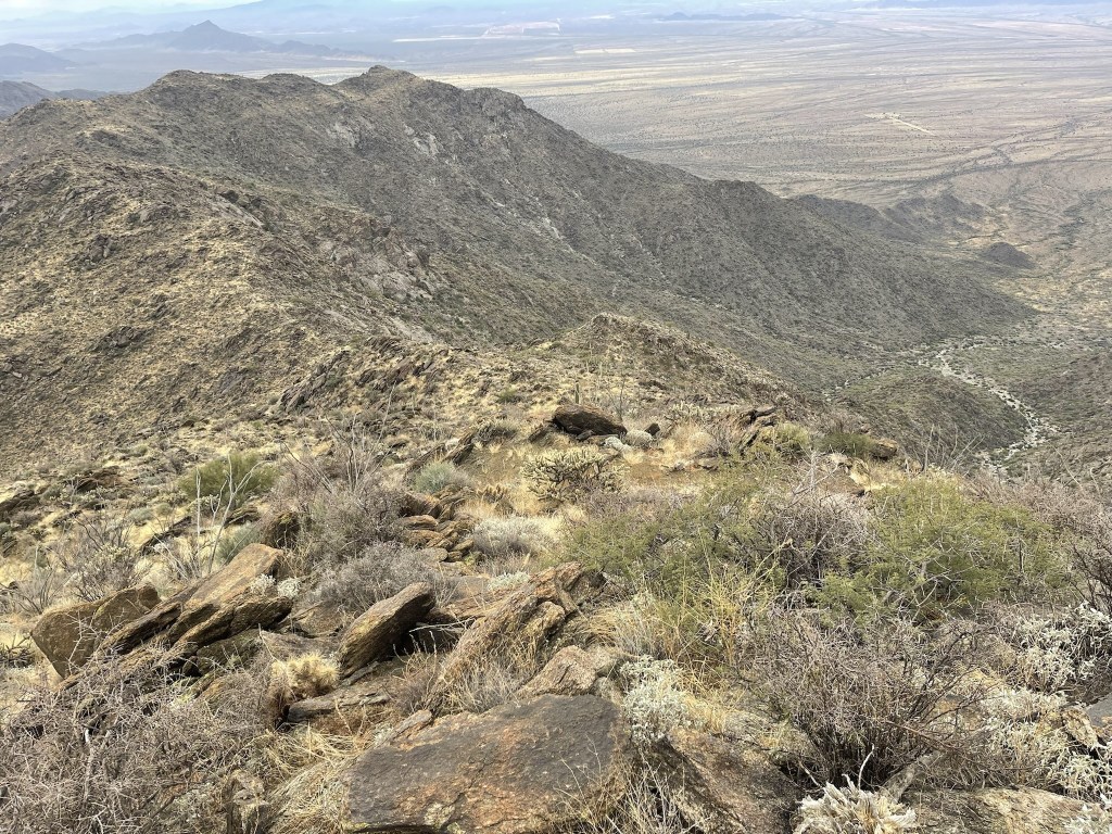
At 2.3 miles I reached the ridge at 3700 feet. I could see the summit a little over a half mile away.
The grade was gentler now that I was on the ridge. I side hilled around the south side of a bump just before the summit.

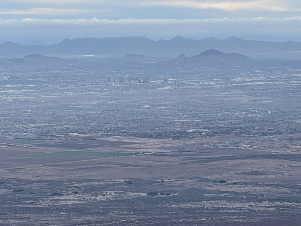
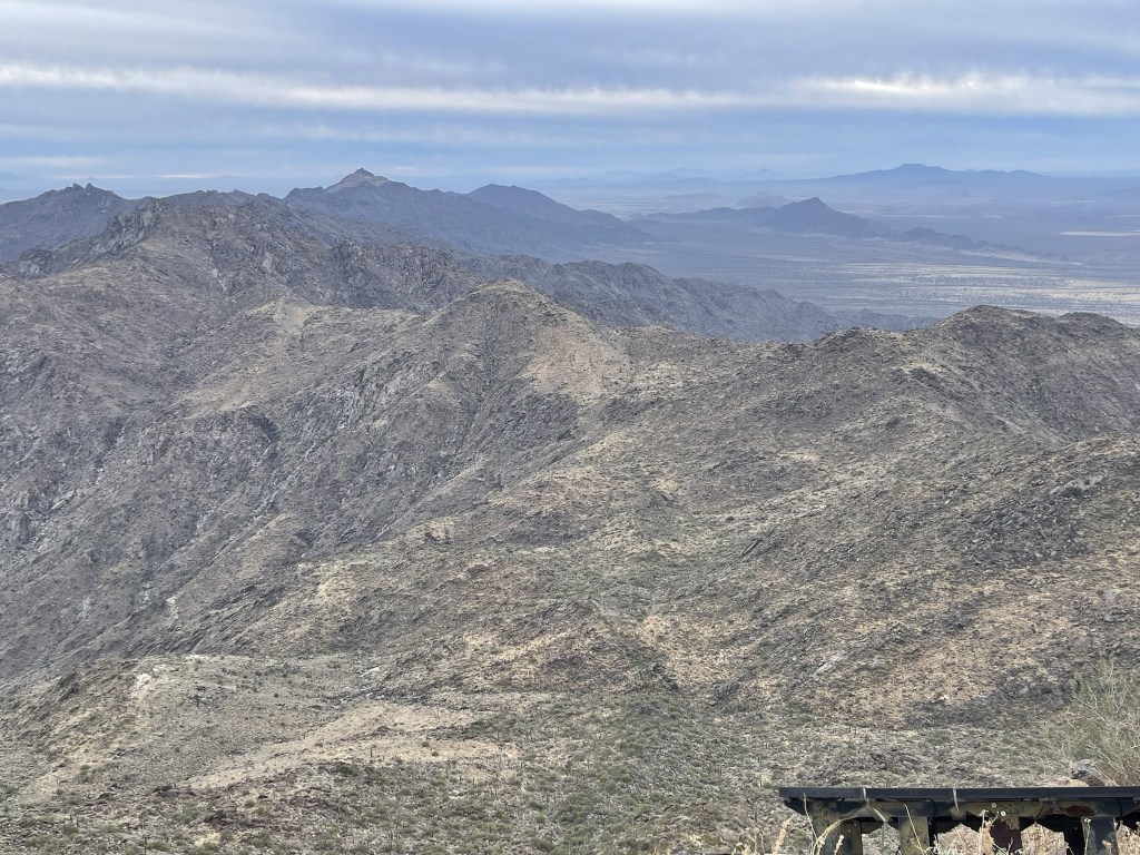
I reached the summit at 8:41am at 2.9 miles! I did not locate a register or any survey markers among the comm equipment and solar panels. The views were so-so due to overcast skies. I could see downtown Phoenix to the northeast.
Looking south towards the rest of the Sierra Estrella:
Harquahala Mountain to the northwest:

As I was exploring the summit area, I suddenly heard a man’s voice say “Whatcha doing buddy?” This startled me initially until I figured I must have set off a motion activated camera. I looked around and found the camera and realized it was pointing directly at me. I didn’t feel like explaining what I was doing so I got out of sight and began descending.
I retraced my steps down the ridge and back into the wash.

The descent was uneventful, and I made good time down the mountain. I reached the car at 10:35am. I was impressed with myself for completing the entire hike in under 4 hours. This hike totaled 5.85 miles, 3002 feet elevation gain, and 3:54:46 total time.


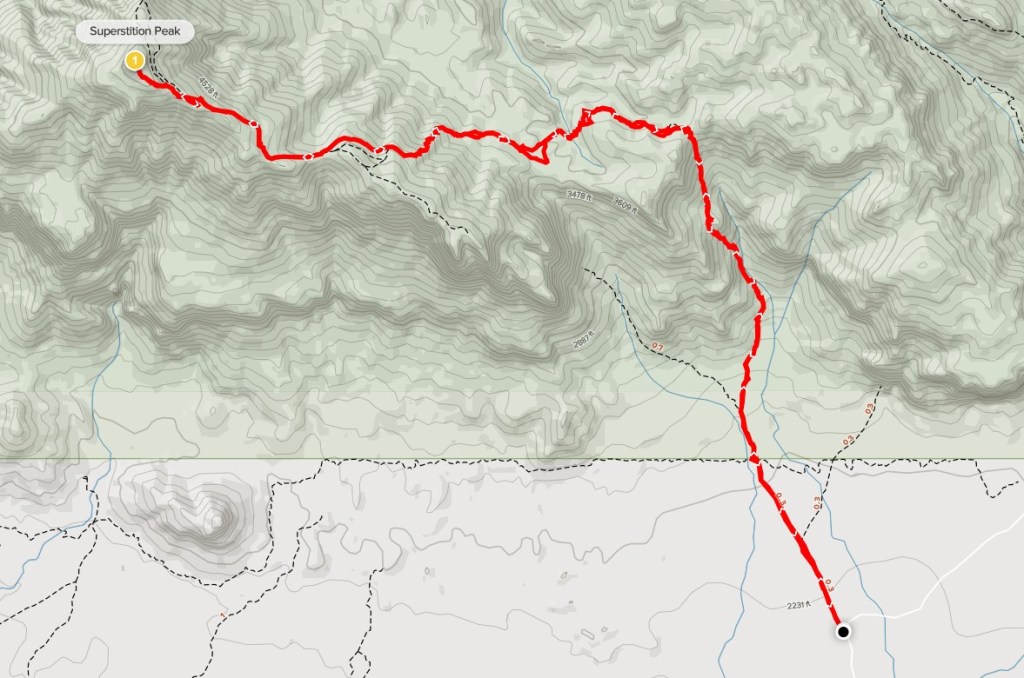
Superstition Peak
The last peak for the weekend was Superstition Peak. At 5057 feet, Superstition Peak is the highpoint of the Superstition Mountains located 40 miles east of downtown Phoenix. It has just under 2000 feet of prominence and is on the Sierra Club Desert Peaks Section list. I made the long drive back to Interstate 10 and then drove all the way through the Phoenix metro area. I had intended to climb DPS route A from Hieroglyphic Canyon, but unfortunately the parking lot was completely full and there was a line of 20-30 cars waiting for a spot when I arrived around 12:30pm. I guess Christmas vacation and the cool temps meant everyone was out hiking. I did not have the time or the patience to wait in line for a spot, so I decided to try route B from Carney Springs instead. From US Highway 60, I turned left onto Peralta Road and drove 5.5 miles northeast to Carney Springs Road, where I turned left and drove the last half mile to the trailhead and parked. Both roads were excellent dirt and passable for any car. This parking lot was also busy but thankfully I found a spot. I began this hike at 1:23pm from 2176 feet above sea level. I hiked north on the wide trail towards the mountains. At 0.6 mile I reached the wilderness boundary and entered Tonto National Forest. Apparently, you used to be able to drive the last 0.6 mile and park right at the boundary.

The trail narrowed into a single track trail beyond the boundary. The trail initially was pretty crowded, but I saw only a few other groups once I got past the first mile or so.
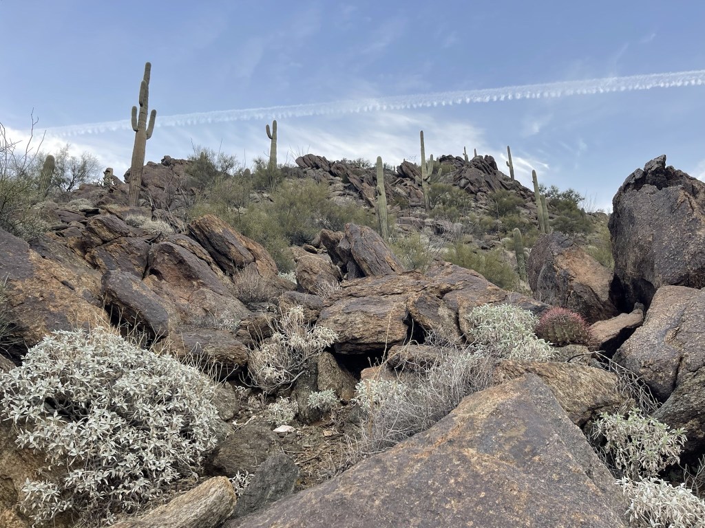
I passed a cool rock formation.

The trail steepened around 1.3 miles.
The trail was hard to follow at times.
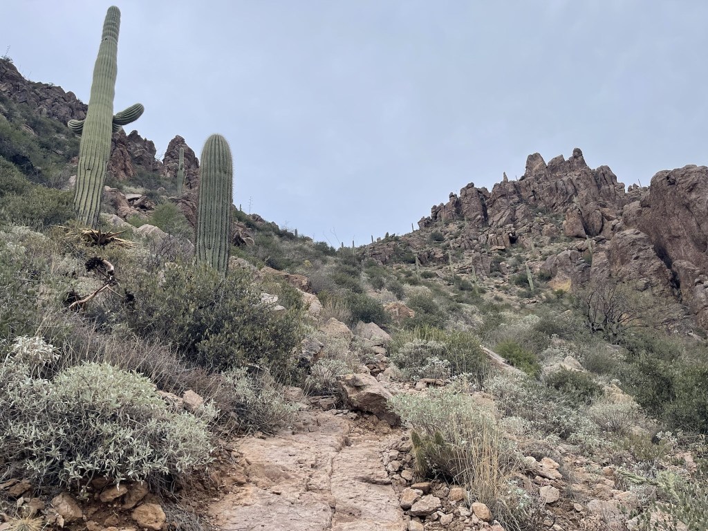
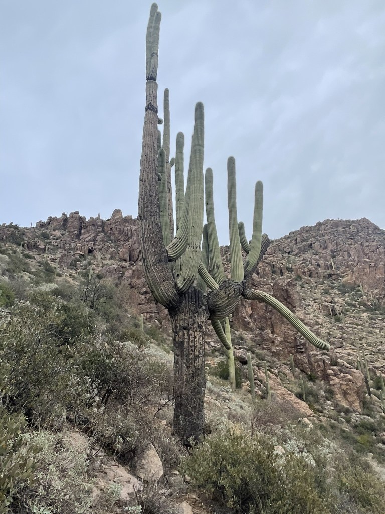
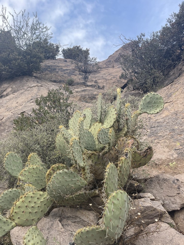
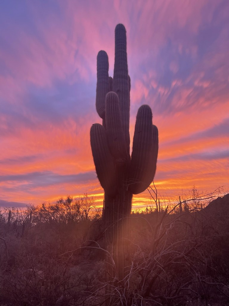
I passed this impressive looking saguaro.
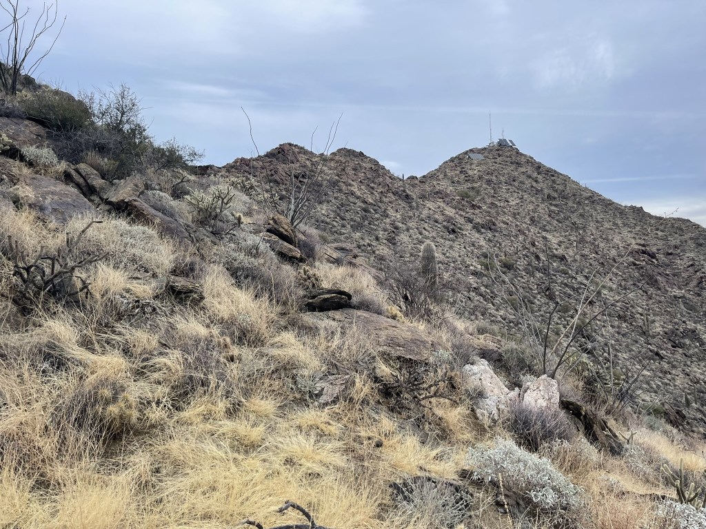
At 1.9 miles I reached a saddle at 3670 feet. The peak came into view for the first time.

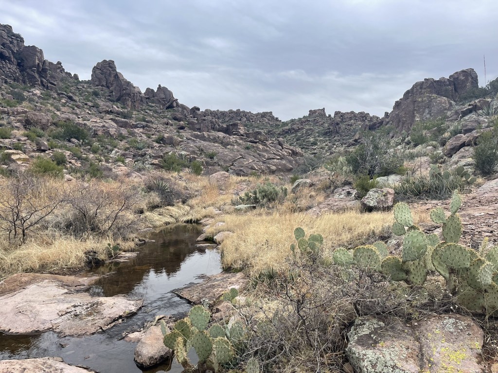
The trail, now called the Superstition Ridgeline Trail, turned west at the saddle. At 2.4 miles I crossed a small creek.
After a short gentle section, the trail began to steepen again.
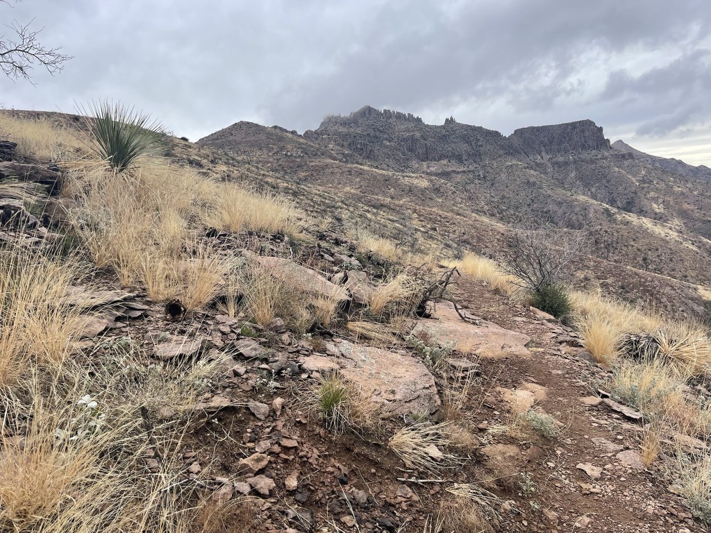
Despite losing the trail multiple times, I was still making good time.

Some low clouds rolled in and obscured the summit from view.
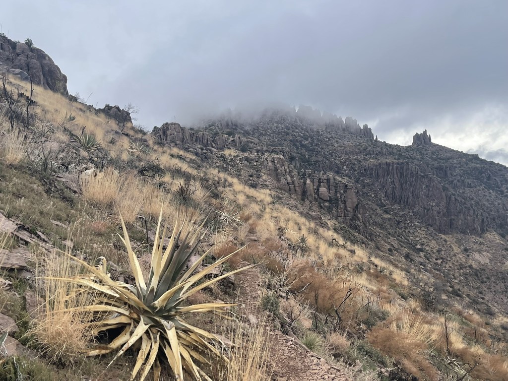
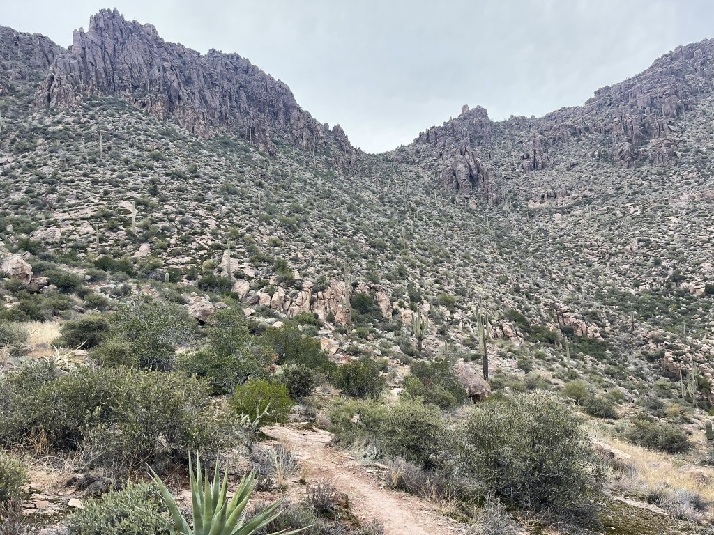
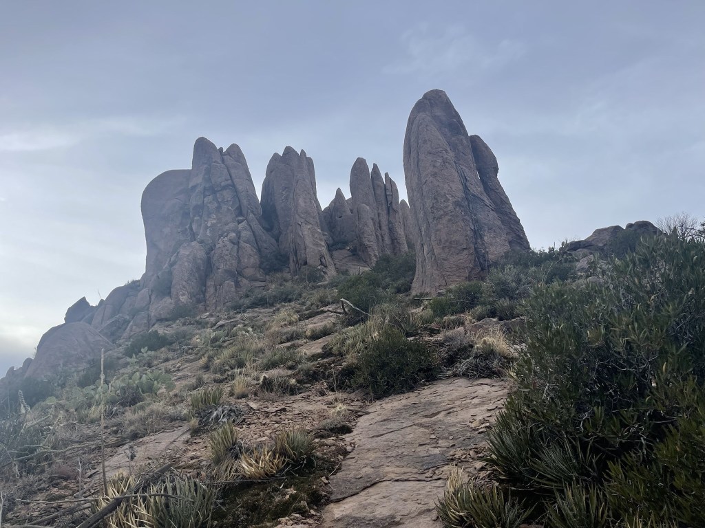
At 4 miles I reached the spur trail that heads to the summit. I passed some cool rock formations on the way up.
There was a short section of easy class 3 just below the summit.
I reached the summit at 3:36pm at 4.2 miles!

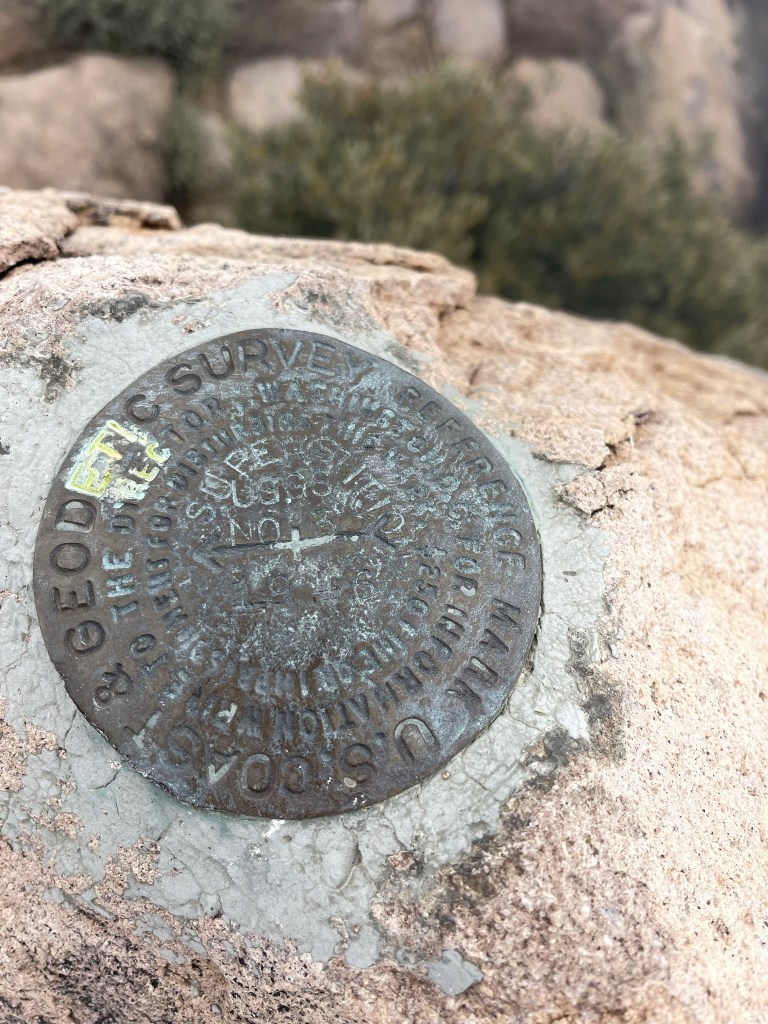
Despite the crowds I had seen near the trailhead I had the whole summit to myself. Obviously most people were out doing easier hikes, plus it was late enough in the day that I wasn’t surprised that I was the last person up here. I did not find a register, but I did locate the benchmark and 2 reference markers.


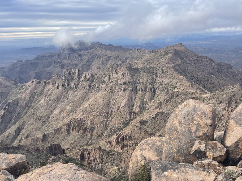
The views were mostly obscured by the cloud I was standing in, but they broke up enough every now and then for a few decent shots. Here is looking west at the Sierra Estrella range. Hayes Peak is on the right.

I could see Weavers Needle to the east.

I could see the rest of the Superstition Mountains to the north.
I could also barely make out Mount Lemmon and Mount Graham to the southwest, but it was very dark and cloudy in that direction. I was pretty cold, so I began descending after a short break. I climbed carefully back down the class 3 section.

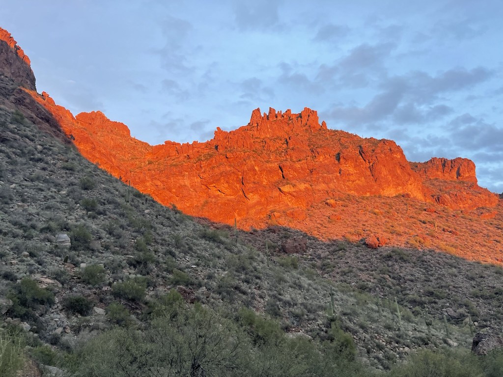
From there I retraced my steps back to the trailhead. I had my headlamp with me, but I still went quickly to avoid being out after dark. The setting sun lit up the rocky hillsides as I got near the end.
I was treated to an awesome sunset.
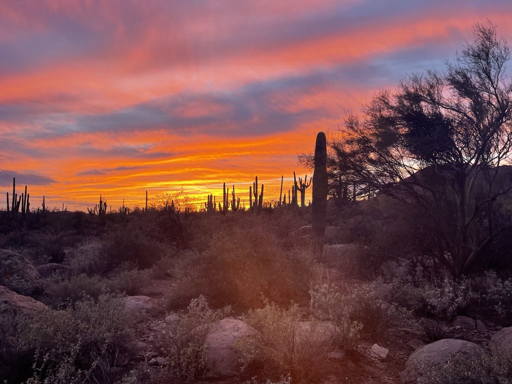
The colors were really something.
I reached the car at 5:48pm. Stats for this hike were 8.52 miles, 3173 feet elevation gain, and 4:24:50 total time.