Caliente Mountain
I set off on Tuesday night April 6th for the beginning of a 6 day, 5 night road trip to the central coast of California and nearby areas. My main goal for the trip was to explore the Big Sur Coastline and Pinnacles National Park, two places I had never been. I left San Diego after work on Tuesday to get a head start on the driving. I made it as far as Oak Flat Campground in Angeles National Forest. Oak Flat is conveniently located right off Interstate 5 about 20 miles north of Santa Clarita. The campground was maybe half full and was a good place to spend the night.
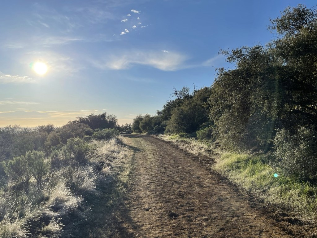
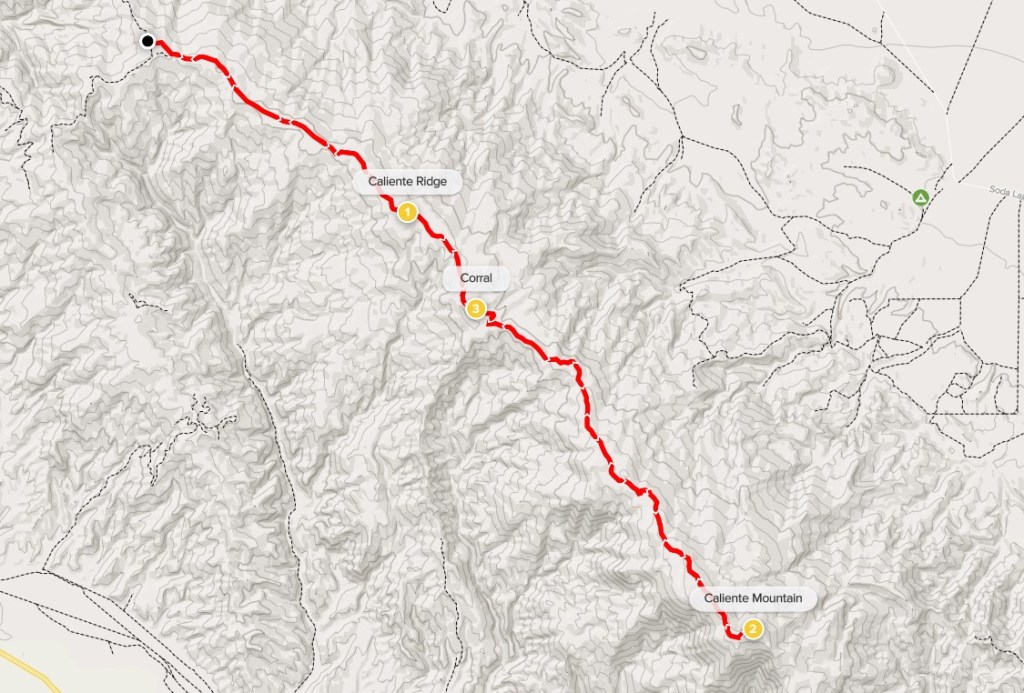
I woke up early on Wednesday morning and headed north for Carrizo Plain National Monument. My plan for the first day of my trip was to climb 5106 foot Caliente Mountain, which is the high point of the monument as well as San Luis Obispo County. The Carrizo Plain is a large grassland and Caliente Mountain forms a long northwest/southeast trending ridge down the middle of it. From Highway 166, I drove 29 miles on Soda Lake Road, then south for 4 miles on Selby Road, and then 3 miles on Caliente Mountain Road to the trailhead. Most of the roads were well graded and passable for any car. Caliente Mountain Road has some steep sections and was a little rougher but still in good shape. I noticed some excellent dispersed camping sites on Caliente Mountain Road, and many of them were occupied even in the middle of the week. I began this hike at 7:17am from 3891 feet above sea level.

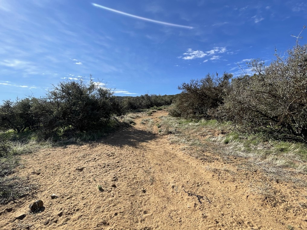
It was a little chilly in the morning, but I could tell it was going to be a beautiful day. At 0.3 mile I reached the first and only trail junction on this hike. I turned left to continue southeast on an old dirt road. This road, which is closed to motor vehicles, leads all the way to the summit.
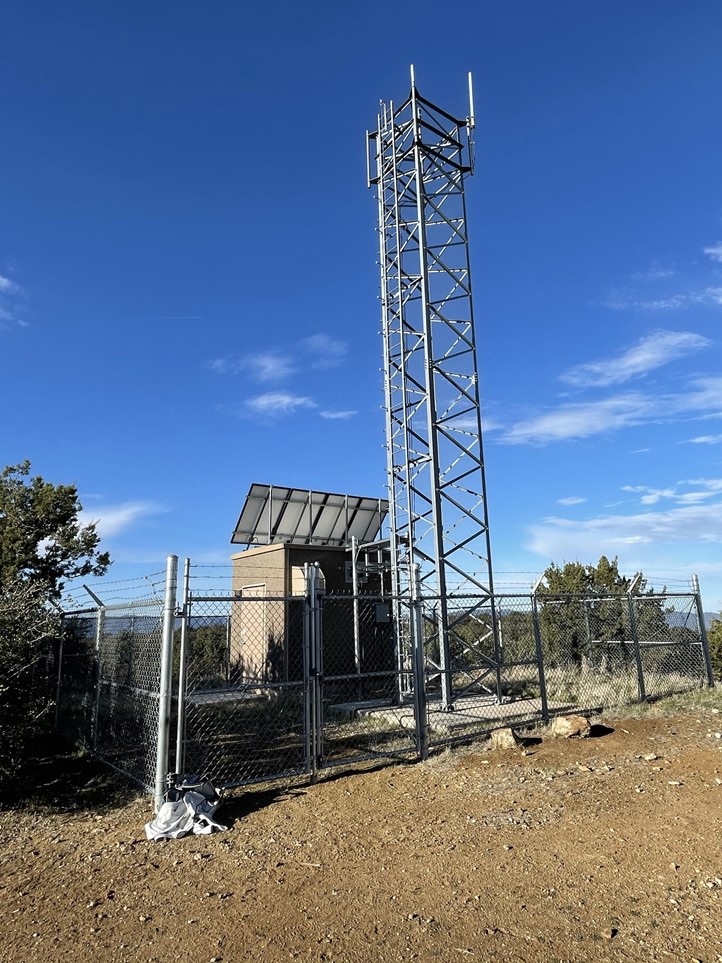
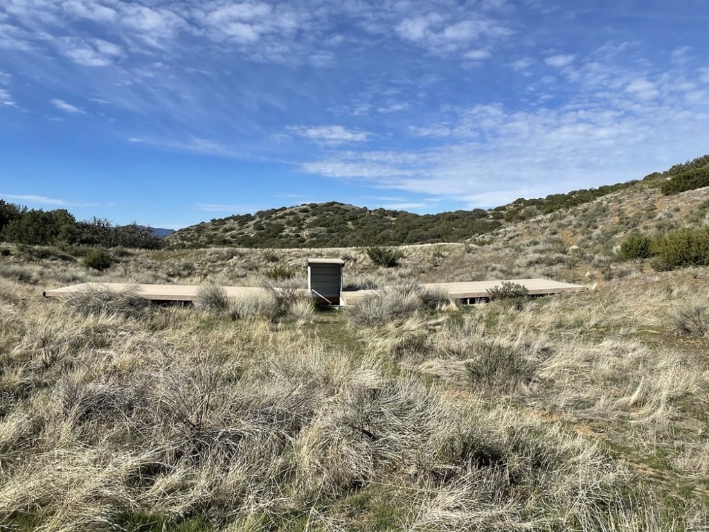
The road wound its way along the ridgeline, gaining and losing elevation very gradually. At 2.9 miles I reached a small prominence referred to as Caliente Ridge on Peakbagger. The elevation here is 4425 feet so I had only gained about 500 feet so far. There is a small installation on this peak.
After a short break I continued hiking. I could now see the summit off in the distance.

At 4 miles I passed through an open fence.

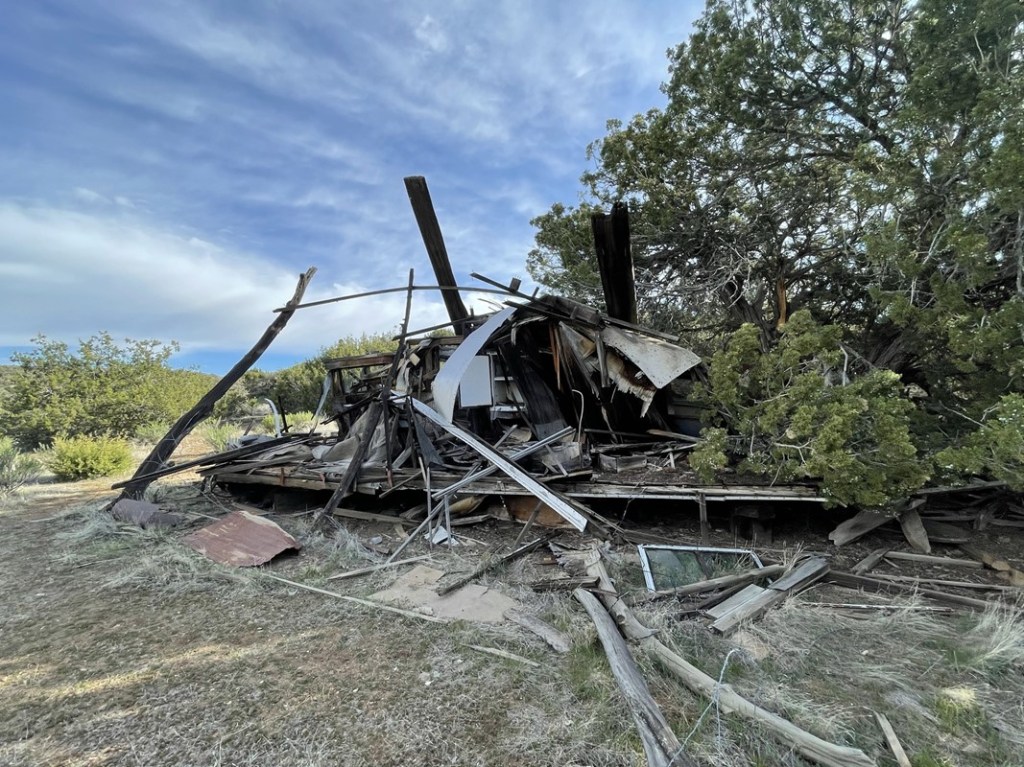
Just beyond the fence I reached an old corral.

There were also the ruins of an old homestead nearby.
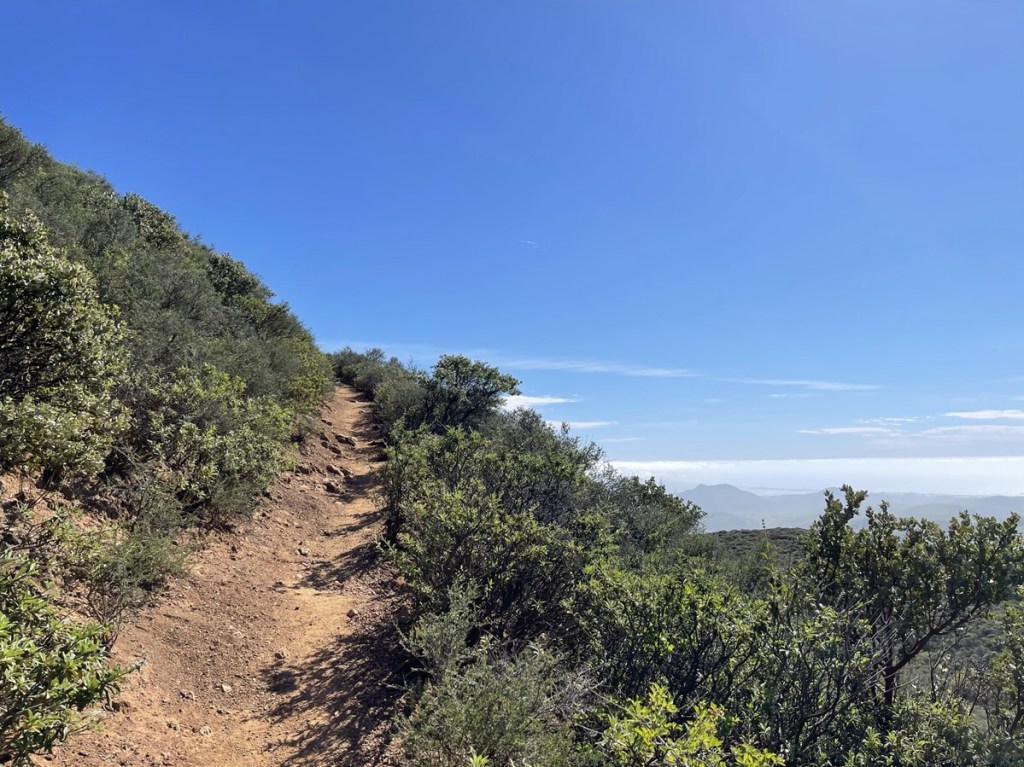
The trail narrowed into a single track trail beyond the corral.

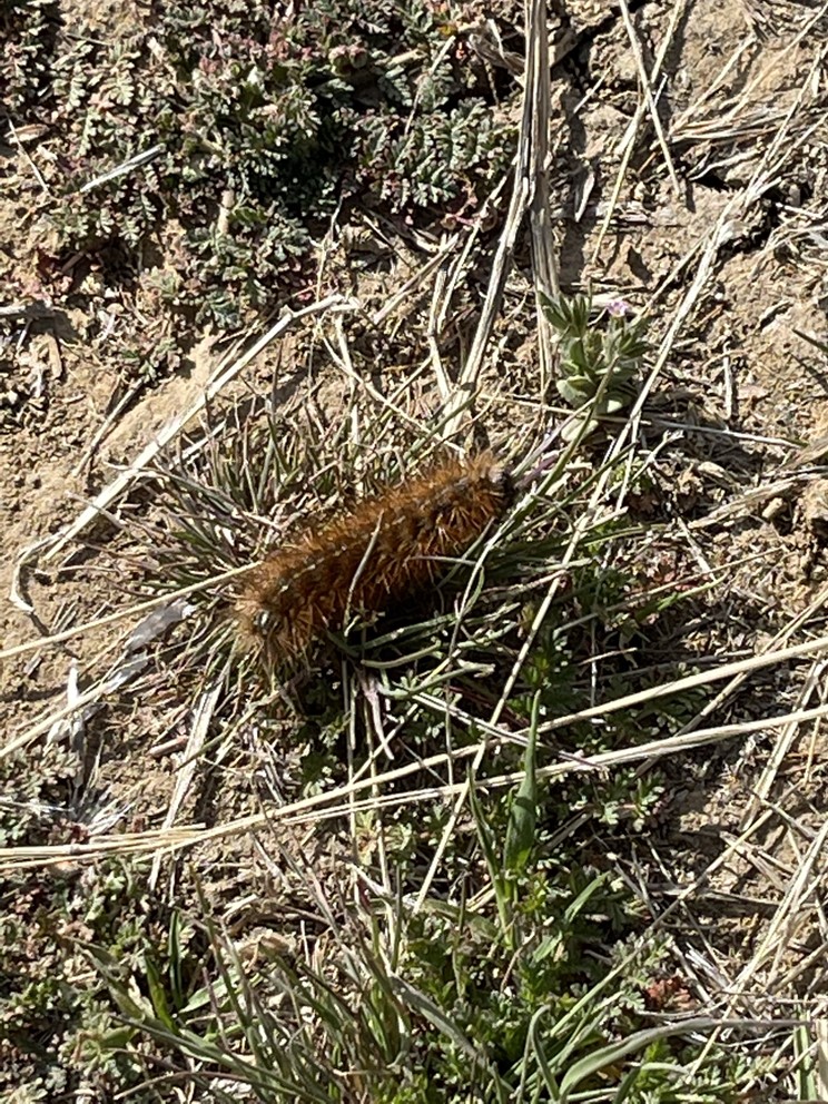
I noticed some small brown caterpillars on the ground. I must have seen hundreds of these little guys throughout the hike.
At 6.3 miles I reached what I think is an old water trough. It appeared that the sloping sheets on each side were meant to channel water into the basin in the middle.
The trail, which had widened into a road again, became very sandy beyond this point.
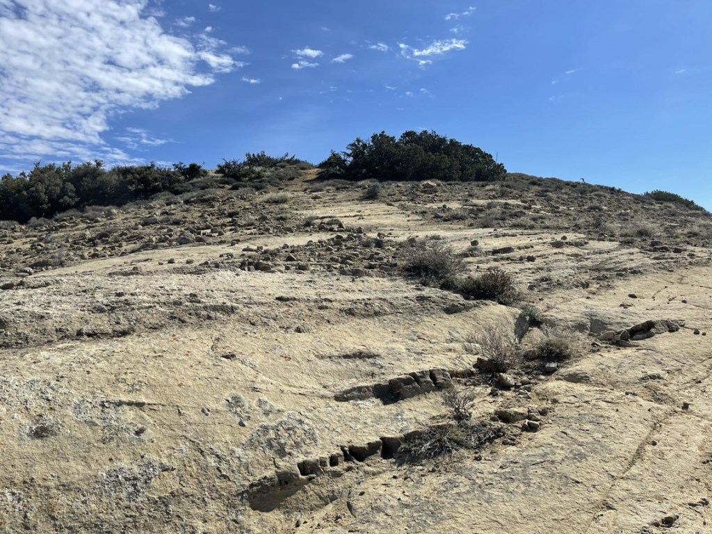
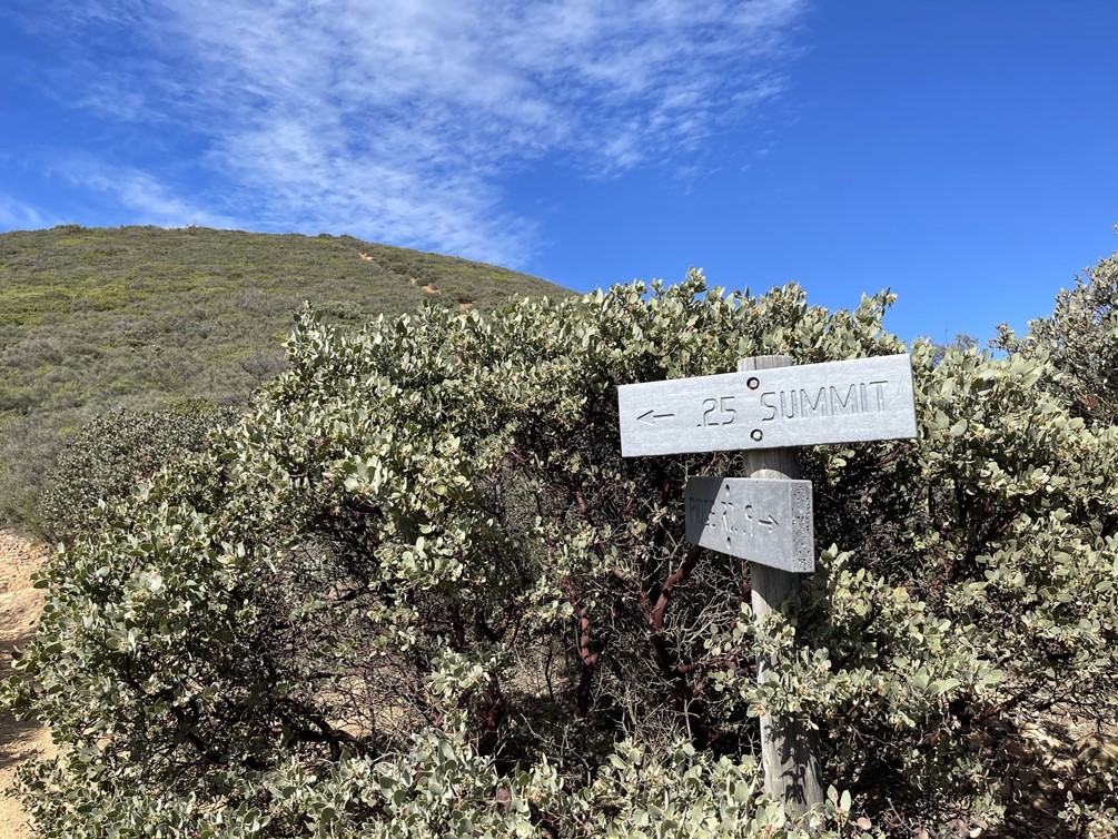
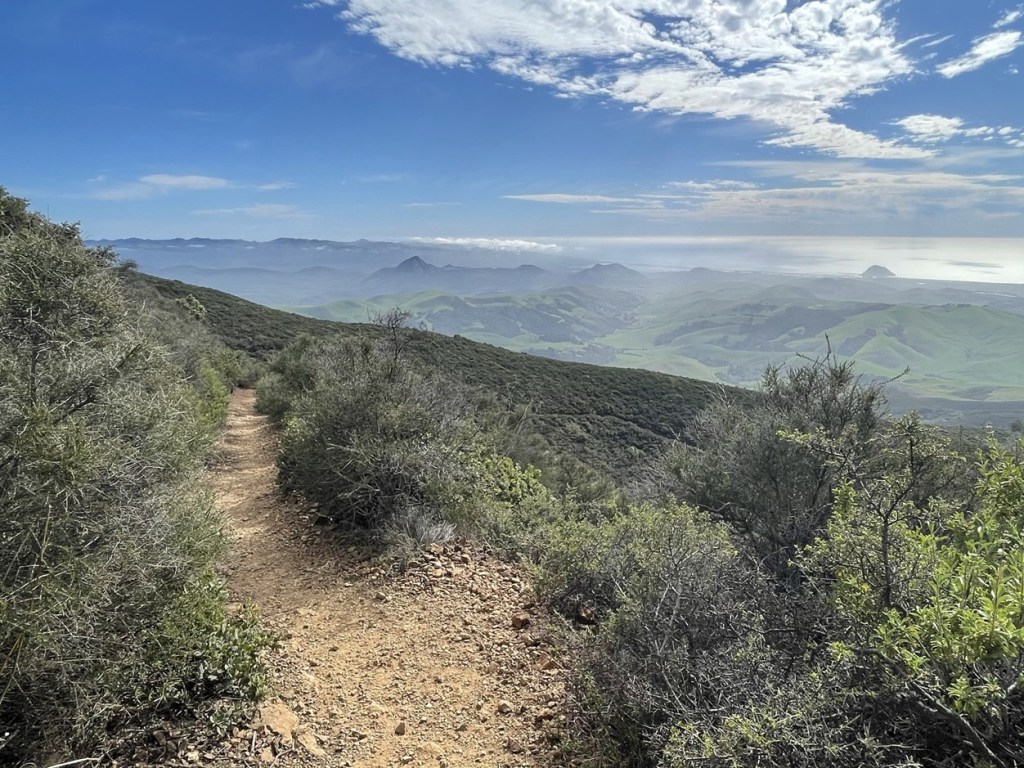
The summit was now close!

The final push was up some easy rock slabs.
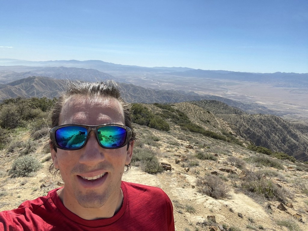
I climbed up and reached the summit at 10:06am at the 8.6 mile mark!
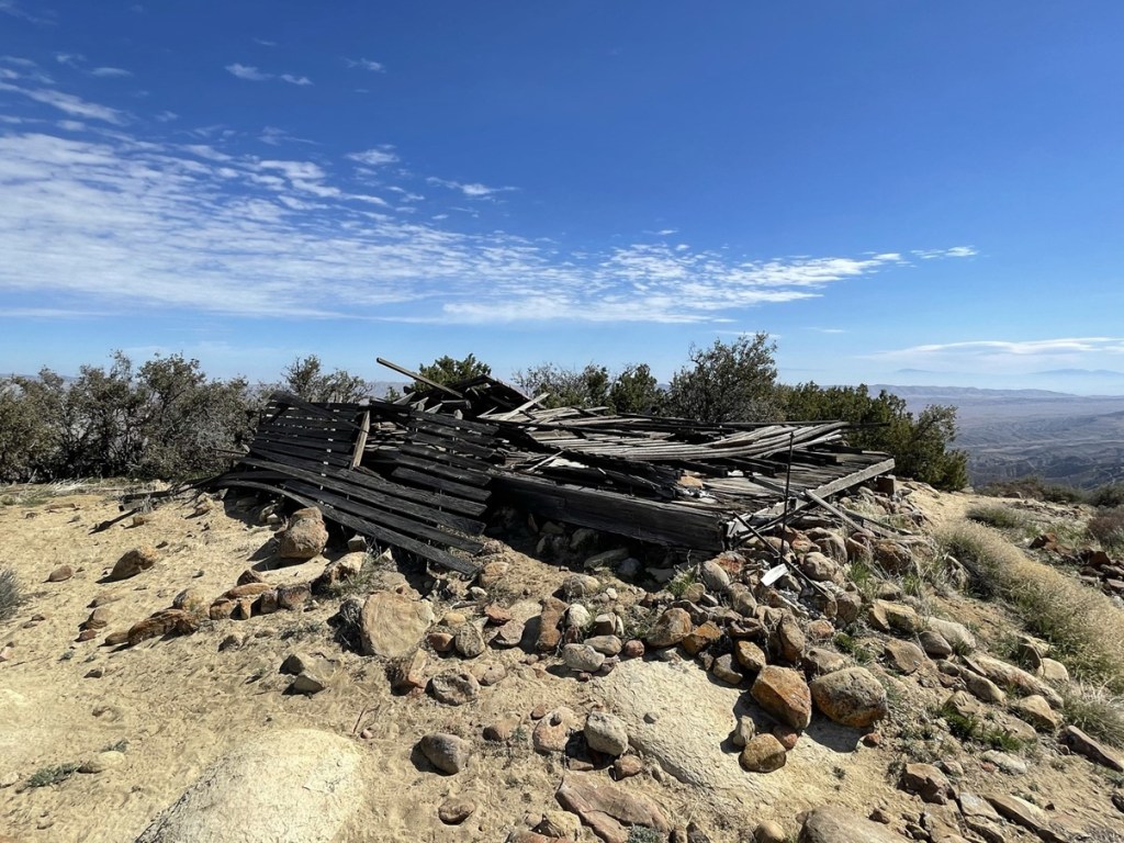
There were many register books on top. I signed the newest one and noted the previous entry was 3 days prior. I found a single odd looking marker on the summit.

There are also the remains of an old fire lookout on the summit.
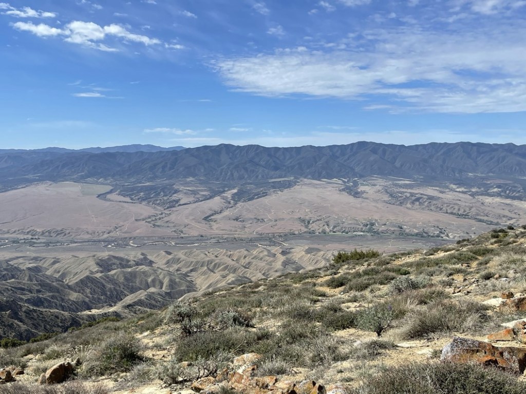
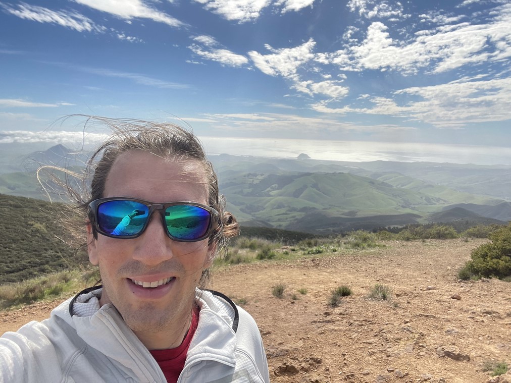
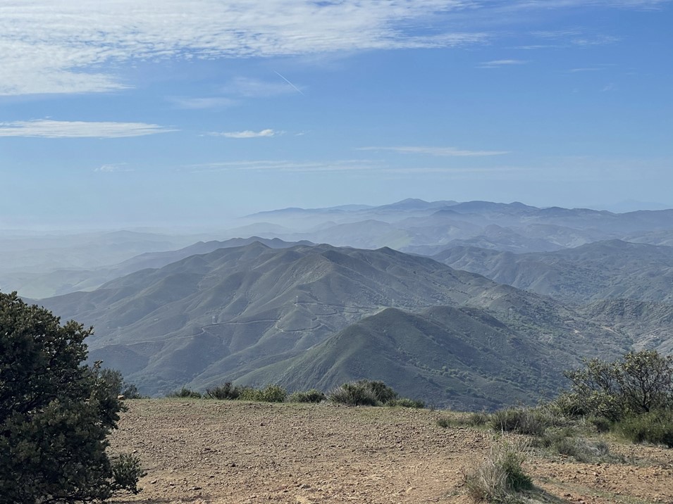
The views were pretty good despite some haze. This is looking west:
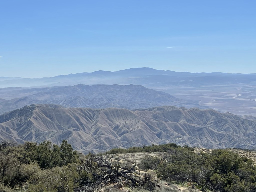
To the south I could see Mount Pinos, the high point of Ventura County.
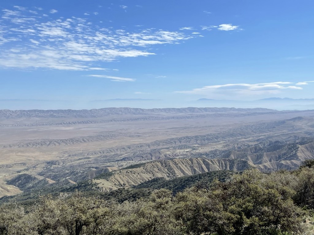
This is looking east across the plain. The peaks in the distance include Piute Peak, Bear Mountain, and Double Mountain.
To the northeast I could barely make the white tops of the Sierra, but unfortunately it was too hazy to see them clearly. This guy decided to join me on the summit for a while.

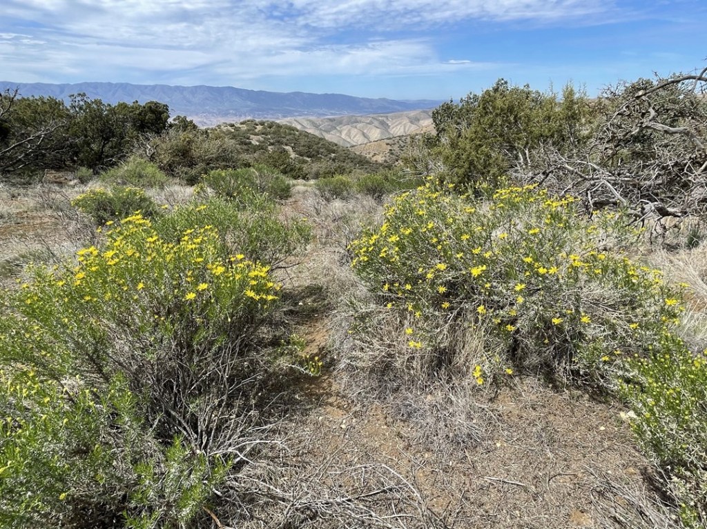
I began the descent after a 35 minute break on top. I ran into a hiker on the way up at 9.4 miles, but he was the only other person I saw on the trail all day. I was a little disappointed I didn’t do this hike in a wetter year. I’ve read old reports of spectacular wildflowers on the trail during superbloom years. There were some flowers, but certainly not a lot.
The rest of the descent was uneventful. Besides the distance, I decided this was one of the easiest hikes I had ever done. The entire thing was on a dirt road and the elevation gain was very gradual and spread out. I reached the car once more at 1:19pm. This hike totaled 17.29 miles, 2441 feet elevation gain, and 6:01:40 total time.

Cerro Alto
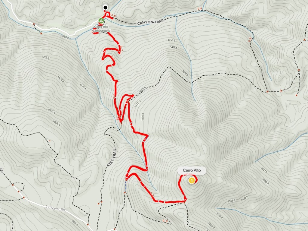
I packed up the car and continued on my way. It was still pretty early in the day, so I decided I had time for one more short hike before continuing north. I settled on doing Cerro Alto, which is a 2624 foot peak near San Luis Obispo. Cerro Alto is actually the northern-most peak on the Sierra Club Lower Peaks list. I drove back to Soda Lake Road and went north until I reached Highway 58. I took 58, La Panza Road, and Highway 41 west until I reached Cerro Alto Campground, which is a nice campground in Los Padres National Forest. I paid $10 to park in the small day use lot near the trailhead. There are signs that explicitly state that the America the Beautiful Pass doesn’t work here. I found this very annoying, since the pass is supposed to work for all national parks, national forests, national recreation areas, etc. One could also park for free near the highway and walk about a mile to the campground, but I didn’t feel like adding more miles to my day. I began this hike at 3:23pm from 926 feet.
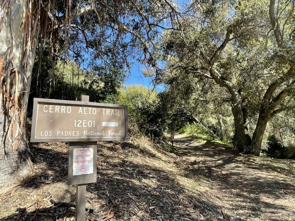
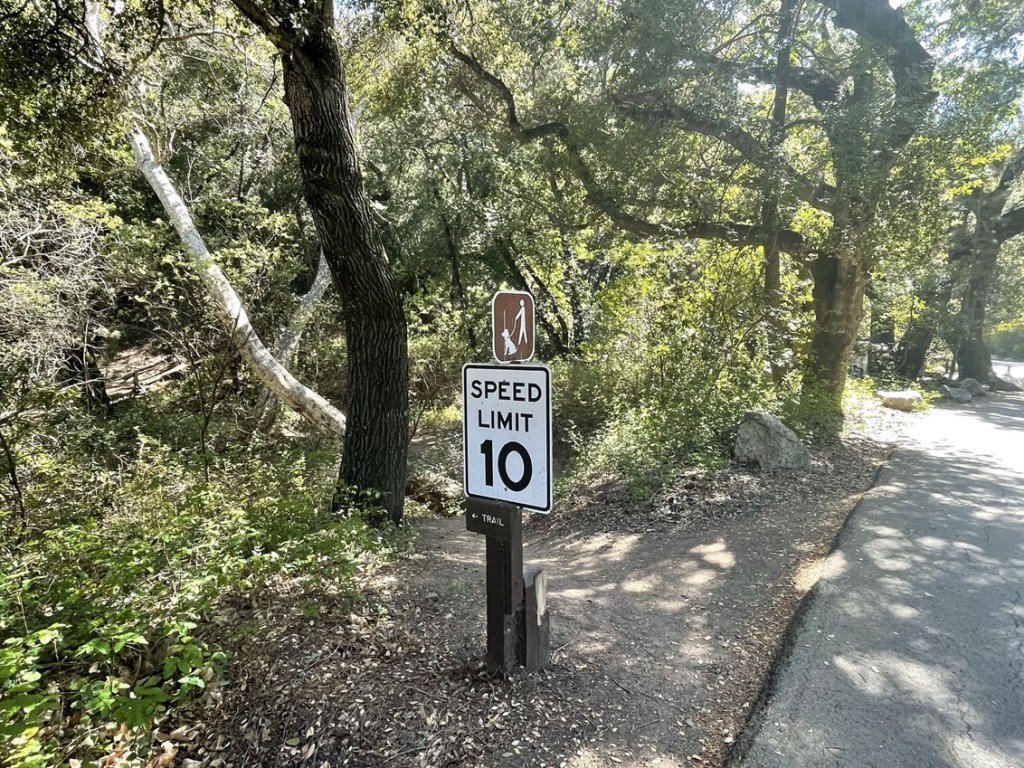
I quickly realized the trail I was on, despite being called the Cerro Alto Trail, was not the most direct route. I backtracked a short way and then found the actual trailhead near a 10 mph sign.
The trail started out in the shade under huge trees. I crossed a bridge over the East Fork Morro Creek. I noticed some poison oak growing on the side of the trail in this shaded section. Thankfully, the trail is very wide, so it’s easily avoided.
I climbed away from the creek and emerged onto a chaparral covered hillside.

The trail steadily gained elevation the rest of the way up. At 0.9 mile there were 2 trail junctions very close together. They both go to the left and reach the same junction in about a tenth of a mile. I took the 2nd junction and reached a 4 way intersection. Here I took the trail heading south.

I reached another junction at 1.5 miles and turned left. It was really feeling warm now in the afternoon sun.
I reached one final junction at 1.8 miles and went left again.
The summit was now close!

I reached the top at 4:10pm at the 2.1 mile mark!
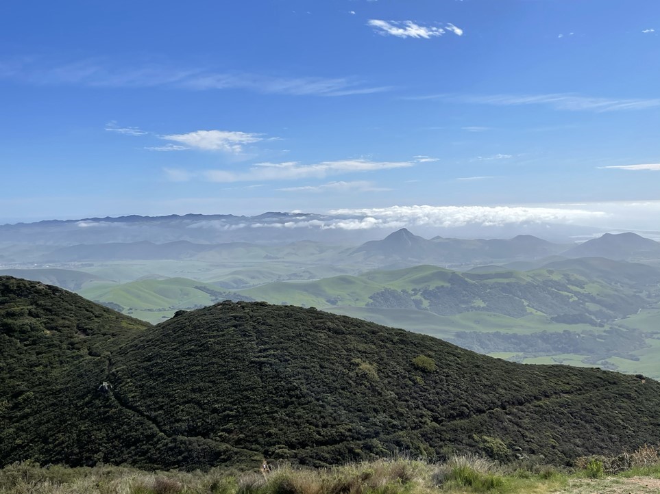
There was one other hiker on the summit when I arrived. I did not locate a register. I was pretty close to the ocean, so the western view was stunning. Morro Rock is the small hill sticking out of the water in the middle.

The southern view was rolling green hills with small peaks in the distance.
This is looking north:
I took the same route on the descent. There were a few other hikers out, but it wasn’t too crowded.
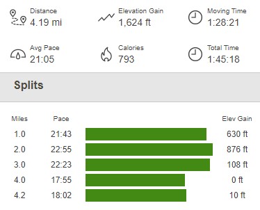
I reached the car again at 5:09pm. This hike totaled 4.19 miles, 1624 feet elevation gain, and 1:45:18 total time.
I packed up and continued my journey north. I was planning to explore the Big Sur area the next day so was hoping to drive a little closer. I drove about 2 hours to Williams Hill Campground which is a BLM campground just west of Highway 101. The campground looked nice but there were only a few sites. Unfortunately, they were all occupied when I arrived but there are plenty of nearby options for a dispersed camping. I found a nice spot to park my car and had a great night of sleep.
