Day 1
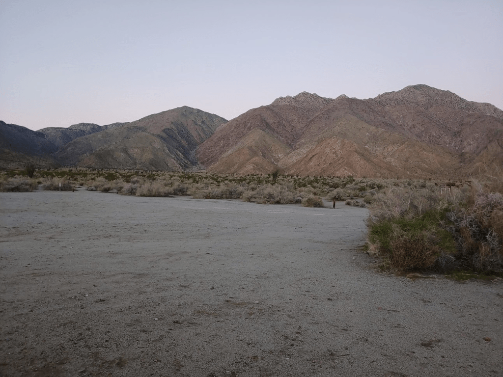
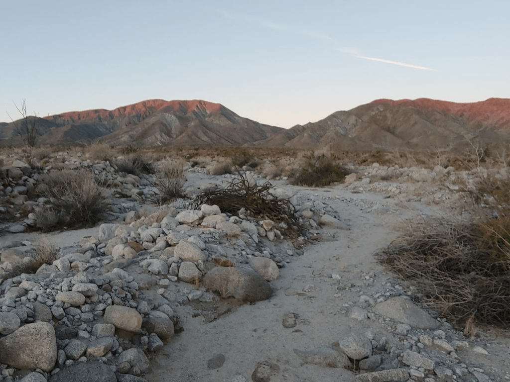
After spending a couple days in Mojave National Preserve 2 weeks prior, I was hungry for more desert adventures. I decided to stay a little closer to home this time and go after a few summits on the San Diego 100 Peaks List in Anza Borrego Desert State Park. This list only contains peaks in San Diego County, many of which are in the very mountainous state park. Of all the lists that I have been chasing peaks on, this is the only one I was anywhere near finishing. After climbing Stage Benchmark in the southern part of the park about a month before, I was now at 74/100 peaks. I started driving before sunrise and took the usual route from the coast down into the Borrego Valley, taking Highway 78 through Ramona and then 79 through Santa Ysabel, before finally taking Highway S22 through Ranchita and then down into the valley. I was treated to a magnificent sunrise as I descended the Montezuma Grade down towards Borrego Springs. Just before reaching the small desert town, I turned into a large parking area which normally serves as the trailhead for Hellhole Canyon and Maidenhair Falls. I had been on this trail the previous spring with my parents and friends Marty and Larry. My mom and I made it all the way to the falls, which are impressive for being in the middle of the desert. My plan for this hike would be to follow the trail for a mile or so, and then leave it to climb up a steep ridge to the west and hit 2 benchmarks along the way which are on the San Diego 100 peaks list. I started hiking at 6:49am.
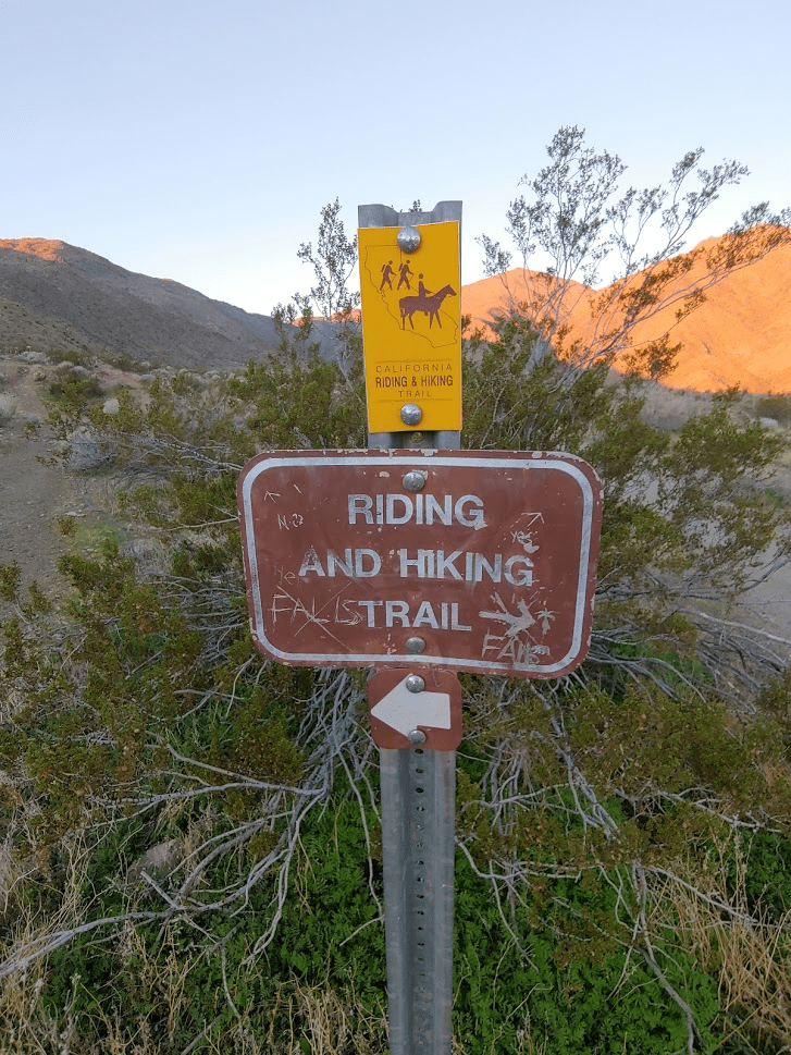
After a few tenths of a mile the trail crosses the California Riding and Hiking Trail. I’m not really sure what this trail is, but I’ve seen signs for it all over southern California. It seems to mostly be in San Diego County, but there is a long stretch of it in Joshua tree National Park as well. I’m not sure if there are plans to ever connect all the segments into one continuous trail. This section climbs all the way up to Culp Valley, gaining a few thousand feet in the process.
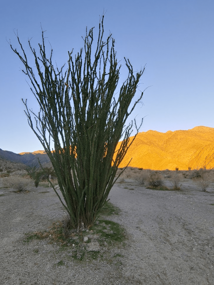
After a few more tenths of a mile, an impressive ocotillo stands in the middle of the trail.
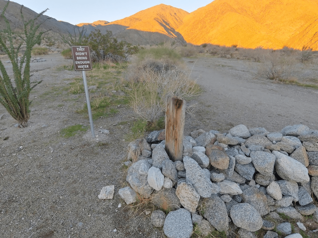
A little bit further, there is this sign over what I think (hope) is a fake grave.
After hiking on the trail for 1.36 miles, I left the trail and began climbing the ridge to the west.

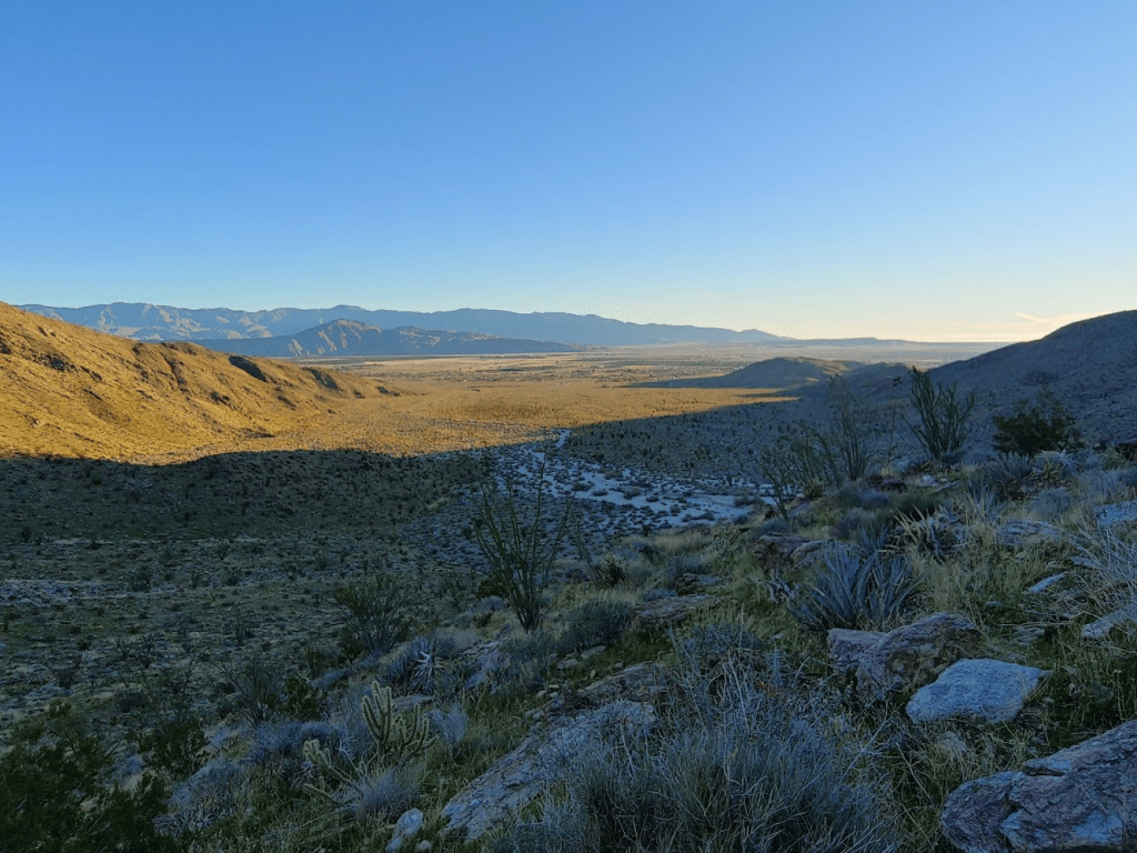
The view of the Borrego Valley behind me was magnificent in the soft morning light.
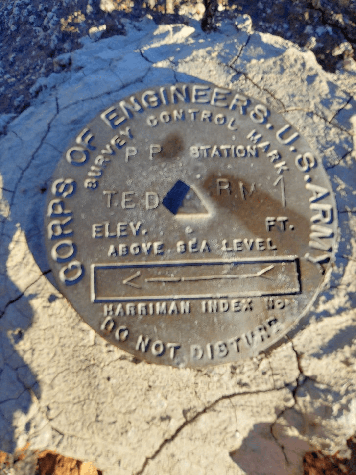
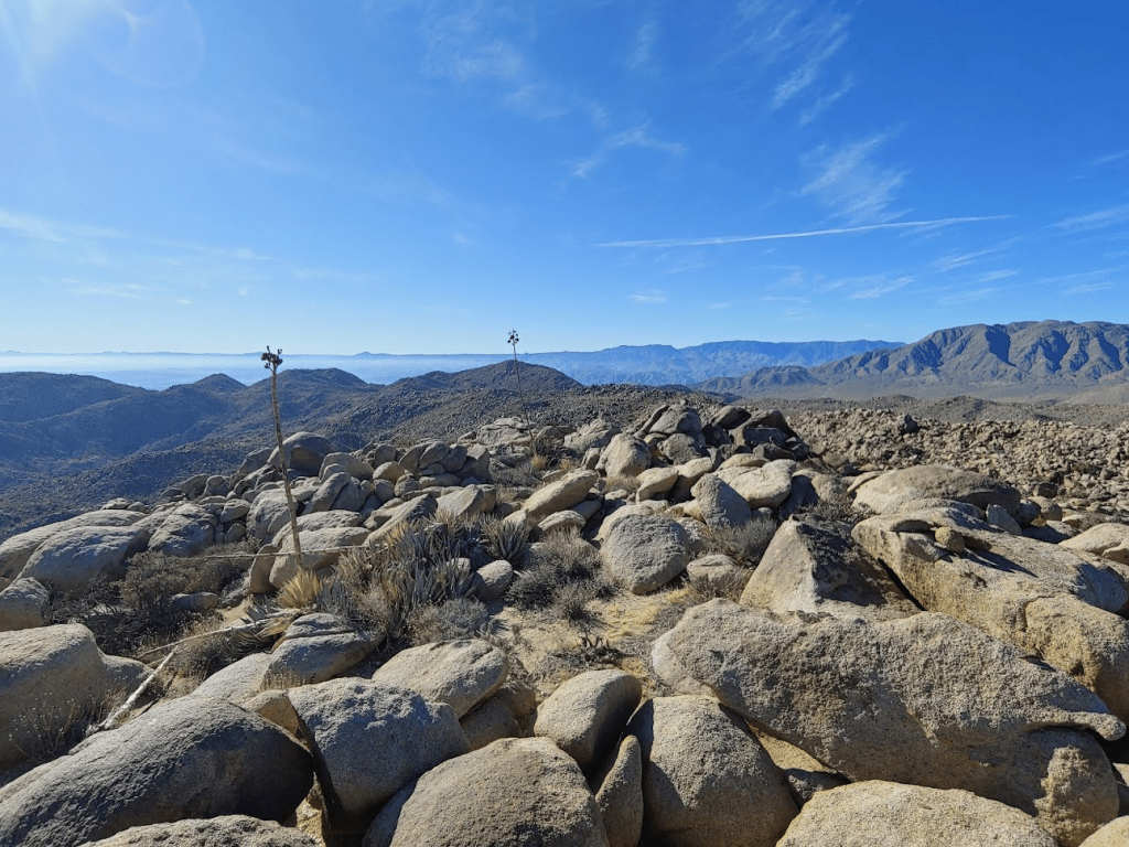
After just over an hour of hiking and 2.21 miles covered, I reached my first summit of the day, Ted Benchmark (2369 feet). Ted Benchmark isn’t much of a peak, just more of a flat spot on the ridge. I had read from previous trip reports that the actual benchmark was missing, and only one reference marker could be found. I managed to locate it and I signed the register.
The sun was still low in the sky.

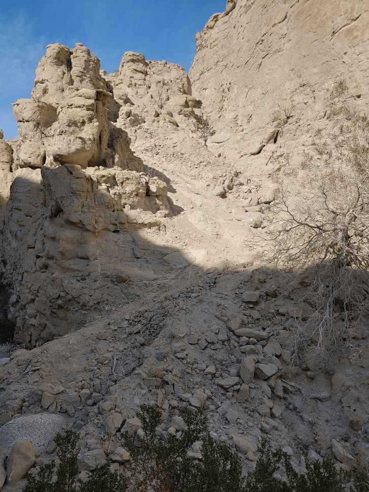
I took a short break and continued up the ridge. Here the terrain became more difficult. The route up to Ted was steep but was relatively easy to climb up. Above Ted, there were larger boulders to contend with and it became a lot brushier.

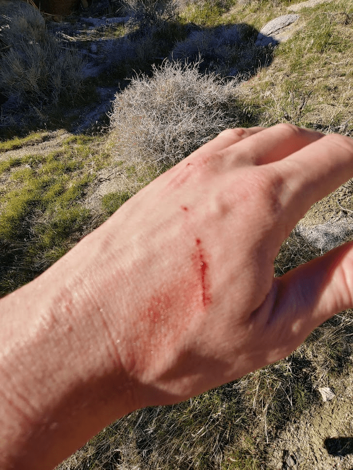
I had my first minor injury of the trip after scraping a cholla.
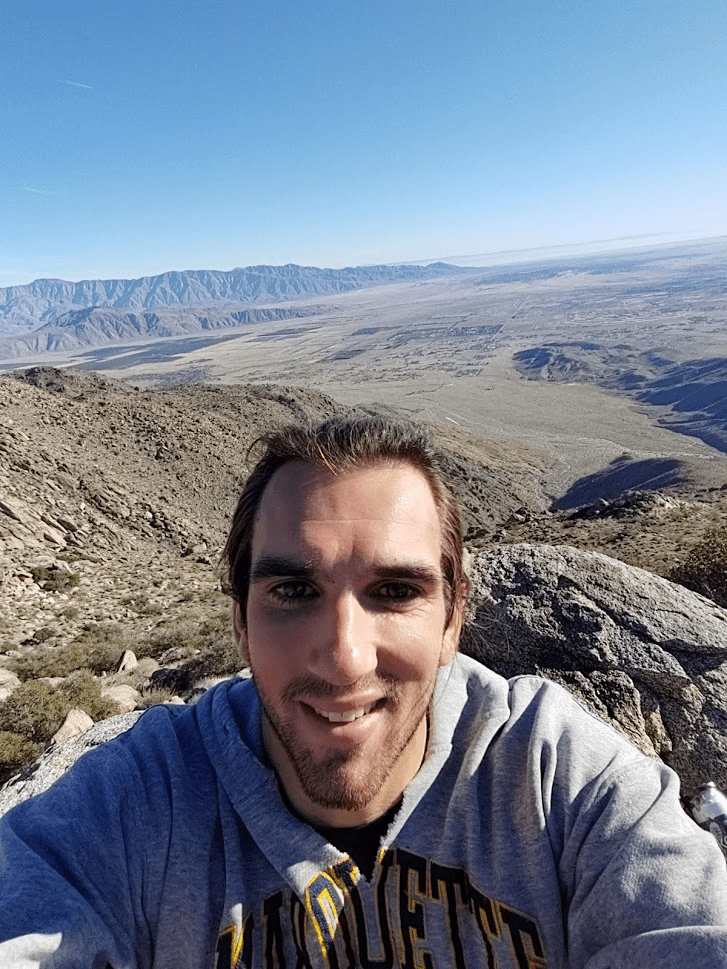
Finally, after 3.44 miles of hiking, I reached Webo Benchmark (4173 feet). It had taken me 2 hours and 23 minutes to ascend approximately 3300 feet from the trailhead at 800 feet.
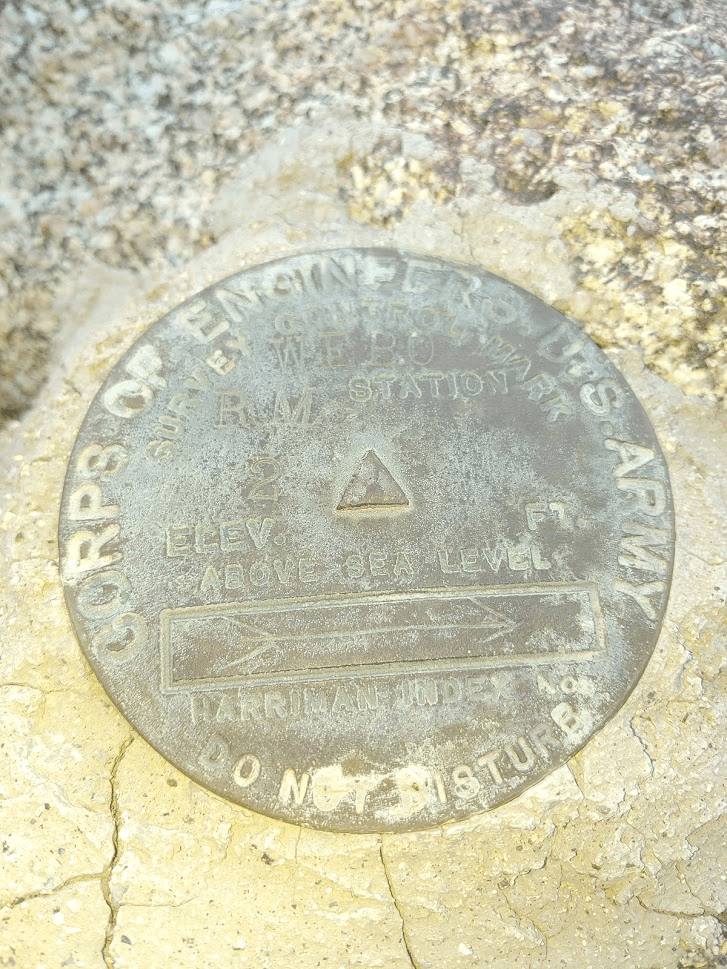
I found the benchmark and 2 reference marks.


Webo has a couple hundred feet of prominence so it is a little more of a peak than Ted. Oddly though, the benchmark isn’t on the highest boulders. It’s a little north of where you think it would be.
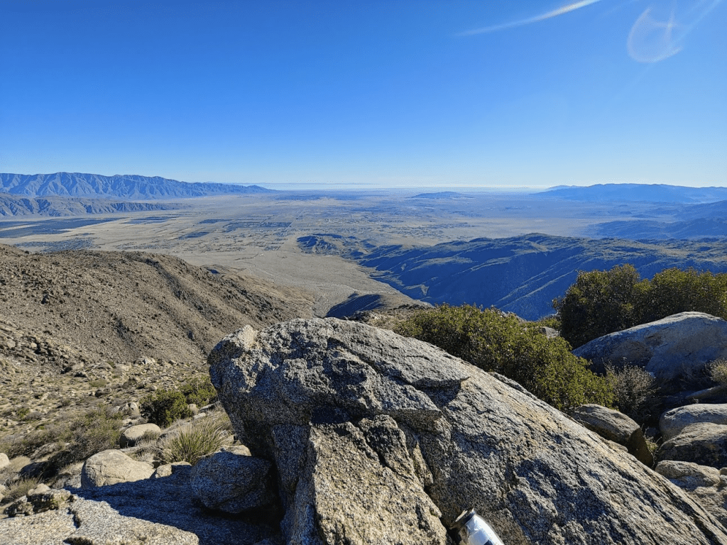
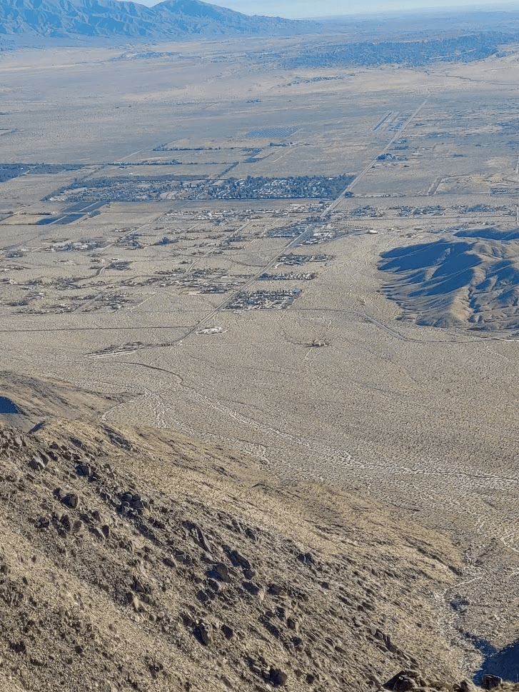
Borrego Springs looked tiny from so far above.
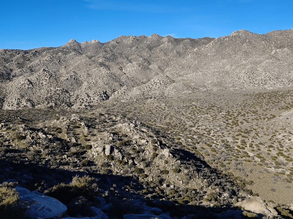
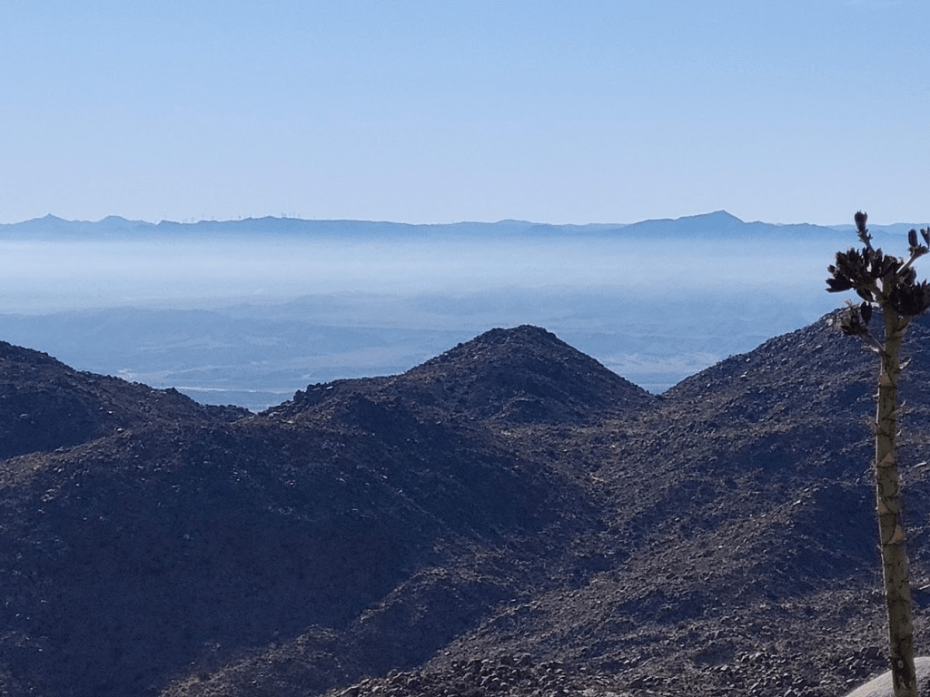
The Santa Rosa Mountains looked as formidable as ever. Rabbit Peak, the highest peak visible on the left side of the picture below, requires a 22 mile hike with nearly 8000 feet of elevation gain. I completed that epic hike in April 2019.

To the west was nearby San Ysidro Mountain, the 2nd highest summit in Anza Borrego at 6147 feet.
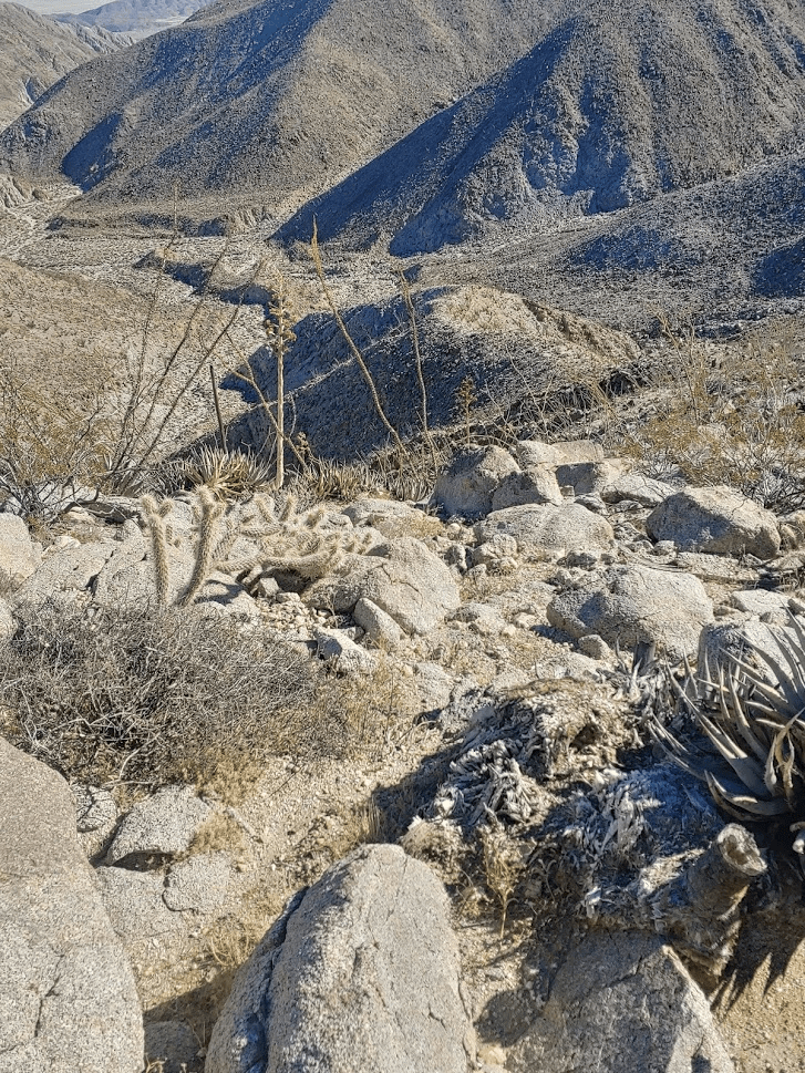
I had read reports of people continuing from here to the east summit of San Ysidro, and then descending a different ridge to the summits of Siren Peak, Kay Benchmark and Ode Benchmark. This epic hike would tag 6 summits on the San Diego 100 peaks list but would require over 12 miles and over 5000 feet of elevation gain. I had been debating attempting this but decided to save it for another day. I wasn’t quite mentally prepared for such a challenge, and the weather was far too warm for that anyway. It was a sunny 70 degree day, and I probably didn’t have enough water for such unusually warm conditions. After signing the register and having some snacks, I continued down the way I came.

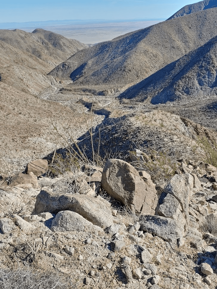
I had to go slowly to watch my footing, but the descent was uneventful. By 11:18am I had reached the trail once more. I passed a few groups of hikers on their way up Hellhole Canyon. I finally reached the parking lot at 11:41am. There were about 15 other cars there now. This hike covered 7.1 miles, 3287 feet elevation gain, and 4:53:08 total time.


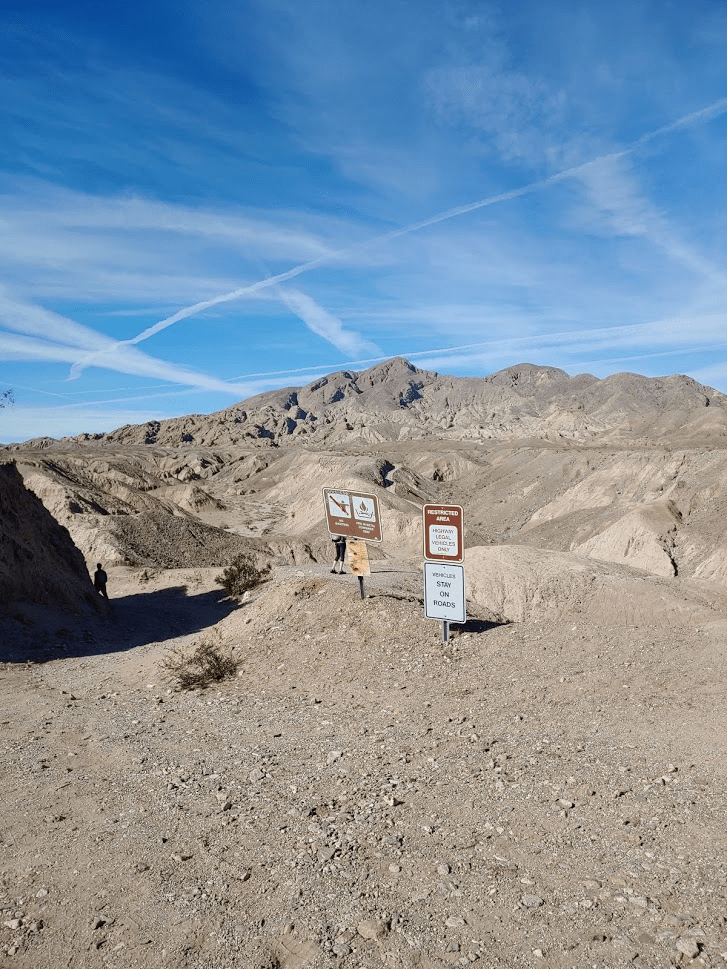
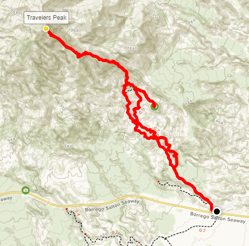
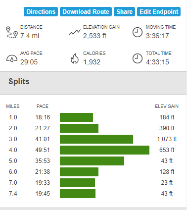
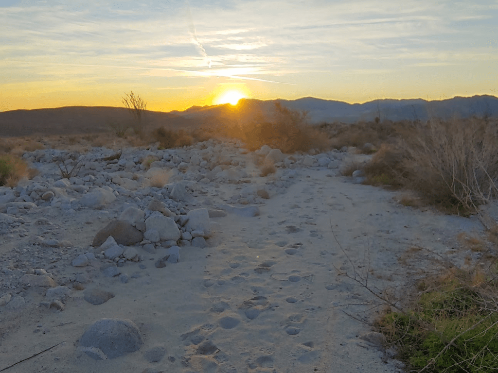
Half of the day still remained, so I decided to try for another peak on the San Diego 100 peaks list, Travelers Peak. Travelers Peak lies at the southeastern edge of the Santa Rosa Mountains. The usual route up Travelers involves about 2 miles on a jeep road to an old WWII era calcite mine, and then a steep mile and a half up a ridge to the summit. I drove on Highway S22 through Borrego Springs and east towards the Salton Sea. I found a small dirt turnout where the jeep road to the calcite mine begins. Just as I arrived, a caravan of about 15 jeeps was exiting onto the highway. I was glad they were gone before I started so I didn’t have to inhale all the dust they kicked up. I started hiking at 12:27pm. Travelers Peak is visible from the start.
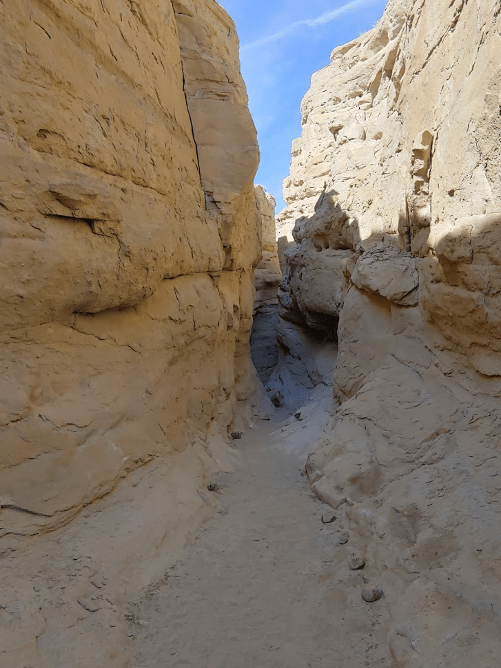
Instead of following the jeep road all the way to the Calcite mine, one can drop down into a slot canyon and hike that for a ways. I elected to take this route on the way up and take the road on the way back. A few tenths of a mile in, a dirt spur road branches off from the main road down into the canyon.

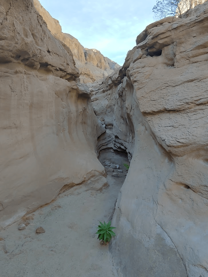
The spur road ends a short while later as the canyon begins to narrow.

The canyon got smaller and smaller as I hiked up.
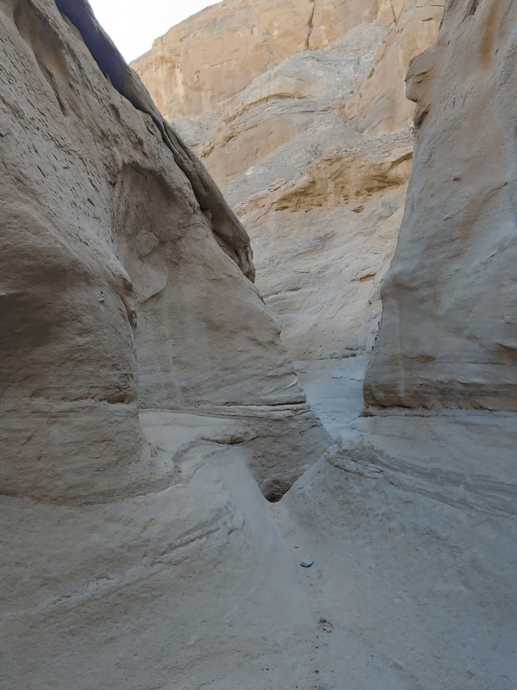
About halfway through, the canyon widens again and crosses paths with the main jeep road. I proceeded through the canyon.
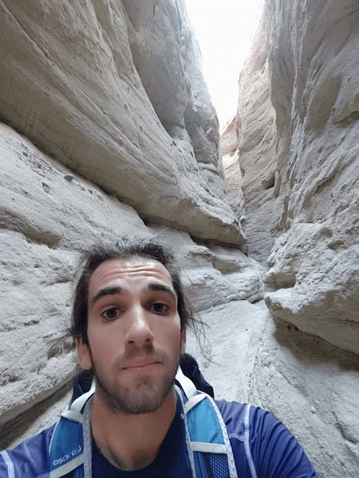
After a short way the canyon gets so narrow I really had to squeeze to get through. I passed a few other hikers who were also exploring the slot canyon.

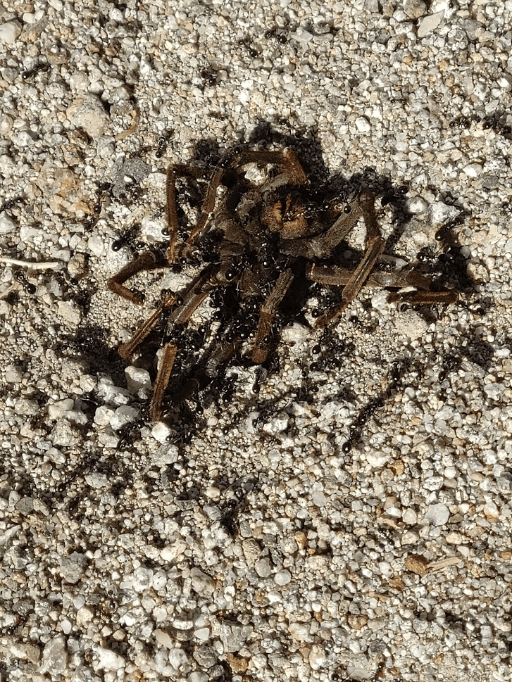
I came across something large on the ground with ants crawling all over it. I got closer to see what it was and realized it was a dead tarantula. I was actually a little disappointed it was dead, since I had never seen one before. It looked very creepy with the ants crawling on it. I took a picture and quickly moved on.
***Warning*** Next picture is a large spider!!!!!
The slot canyon became steeper, and I had to climb up several dry falls. Eventually I reached an impasse I could not continue through.
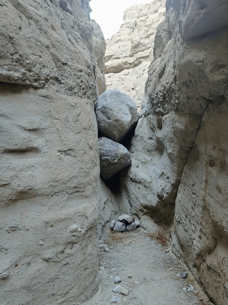
I backtracked a short way and found a ramp I could use to climb out of the canyon.
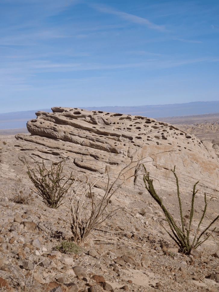
After some scrambling a found the faint use trail which leads up to Travelers Peak. It was 1:22pm and I was 2.21 miles in. I realized I was already above the calcite mine, so I decided to explore it on the way down. There is a very porous rock formation near the mine site, which reminded me of the wind caves on nearby Split Mountain.
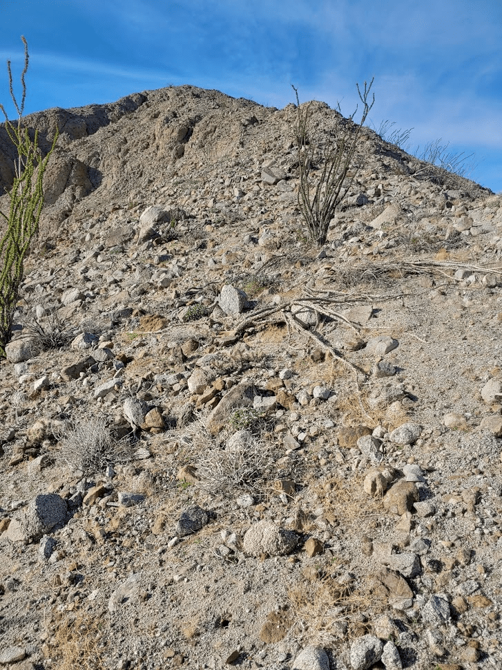
The summit still seemed far off.

The use trail was difficult to keep track of and disappeared at times. The route from here was very steep.
I finally reached the summit (2697 feet) at 2:21pm. It had taken nearly 2 hours to hike the 3.41 miles from the highway.

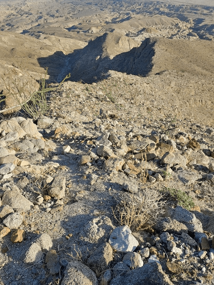
I was blown away by the views. The badlands stretched for miles beneath me.

I could see almost the entire Salton Sea to the east.

To the north were the rocky ridgelines leading up to the higher peaks of the Santa Rosa Mountains.
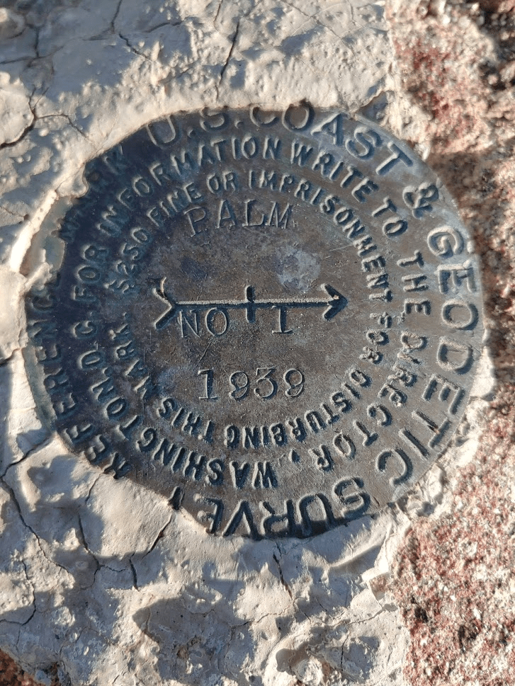
I found the “Palm” Benchmark, and 2 reference markers.


I rested for about 30 minutes while I snacked and signed the register. It was very hot, so I drank a lot of water as well. I started my descent around 2:50pm.
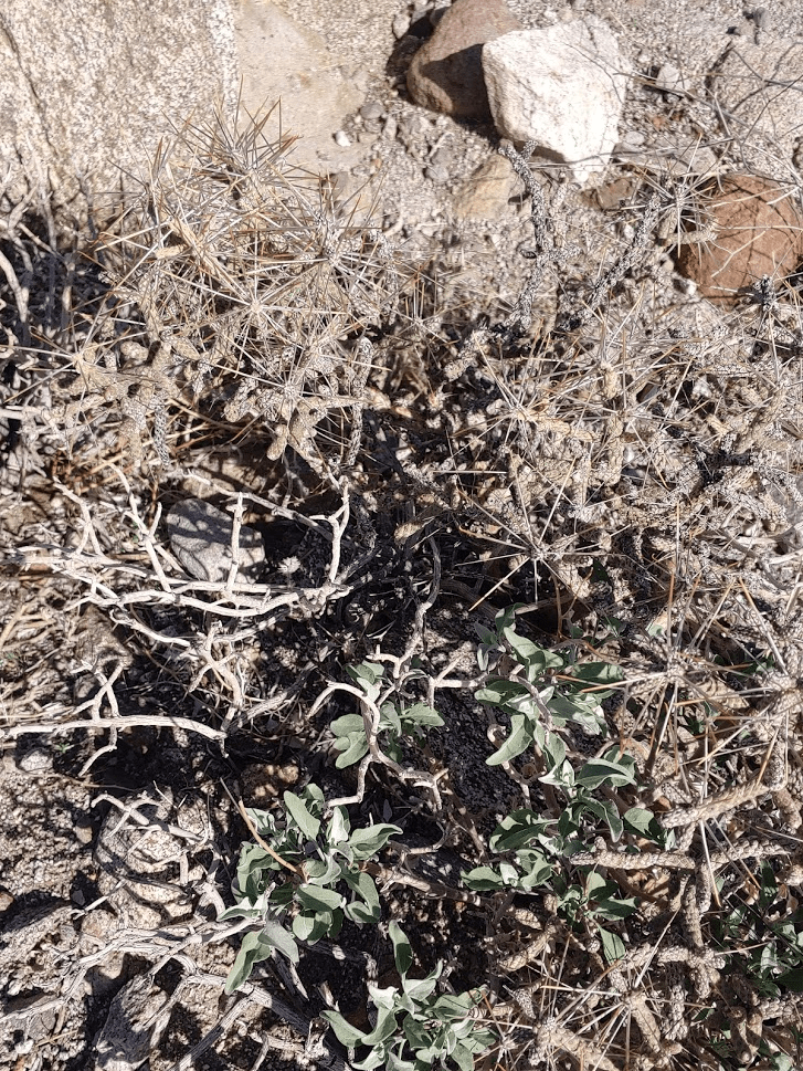
I noticed some pencil cholla, a variety of cholla I don’t think I’ve seen before in Anza Borrego. I’ve seen plenty in Joshua Tree, however.
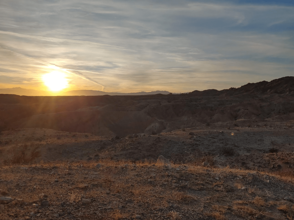
At 3:55pm I reached the calcite mine. Apparently, this area was mined extensively during WWII. The calcite found here is of such high grade that it was used for precision bomb sights. There isn’t anything at the site anymore, no old mining equipment or anything like that. However, you can find small pieces of calcite all over the ground. There is also a large parking area for jeeps, and there was a large group of people hanging out there when I arrived. I looked around for a bit and then continued down the road. It’s really a hardcore 4WD road. You would certainly need a lifted vehicle with all-terrain tires. I passed a group coming up very slowly in a pickup as I descended. As I neared the trailhead, I climbed up on a small prominence to watch the sunset. I was treated to quite a show. Desert sunsets are really the best sunsets.

I reached my car again right before 5. This hike covered 7.4 miles, 2533 feet elevation gain, and 4:33:15 total time.
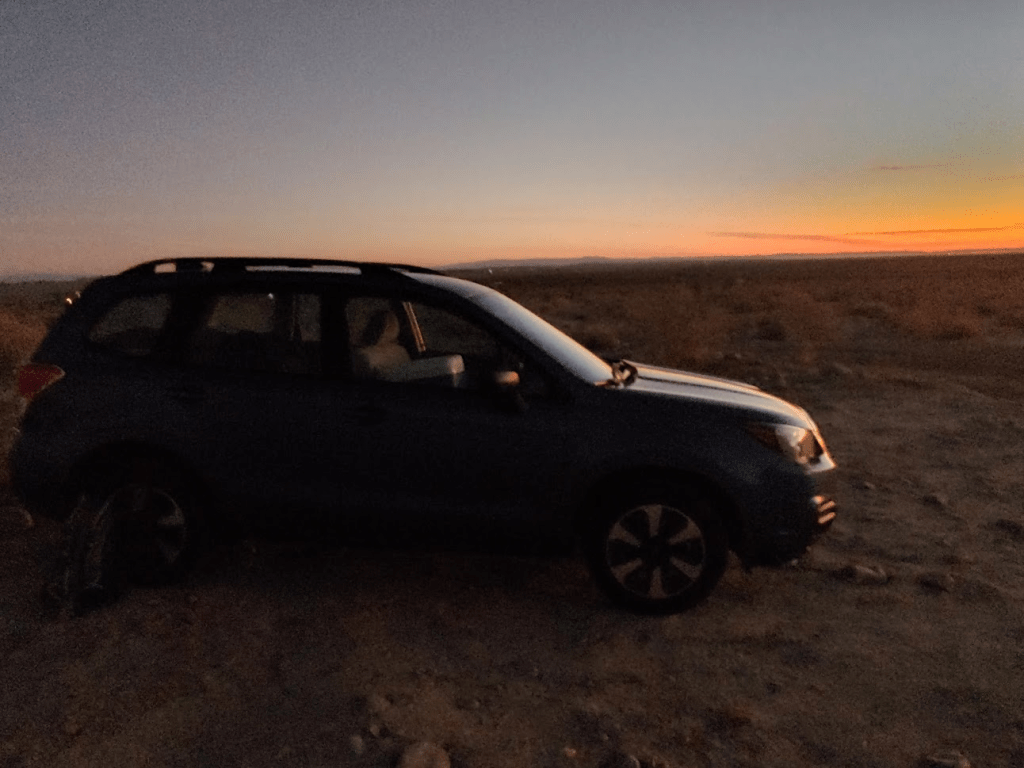
I was exhausted. For the entire day I had hiked over 14 miles with nearly 6000 feet of elevation gain! I drove back west to Borrego Springs. I stopped at the visitor center to refill my water bottles and throw away my trash, and I picked up some ice at a gas station. I got dinner at Kendall’s Café, one of the few places I hadn’t eaten in town yet. The shrimp special I ordered was good, but not enough to fill me up, so I also went to Calico’s, a small deli that serves sandwiches, pizza, and ice cream. I ordered a turkey sandwich which was pretty tasty (difficult to screw up a turkey sandwich though). After I was done eating, I exited town south on Borrego Springs Road towards Highway 78. I went east on 78 to the small community of Ocotillo Wells where I turned south on Split Mountain Road. I eventually found the dirt road which leads to the Elephant Trees trail which I drove on for about a half mile to a small turnout where I spent the night. I was so tired I fell asleep before 9.
Day 2
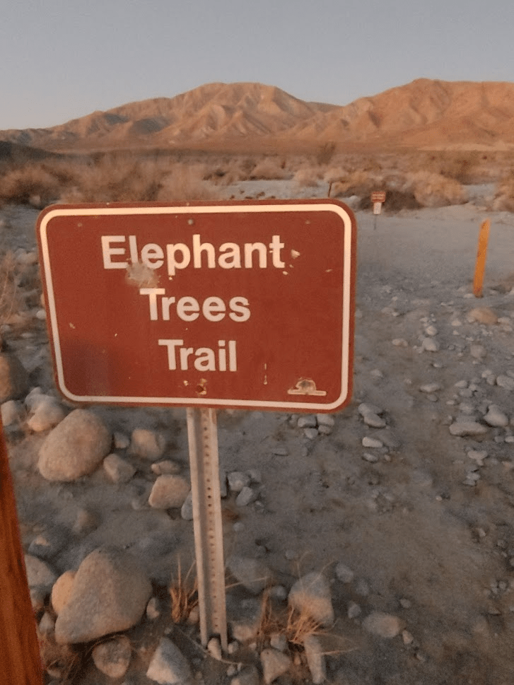
I woke up at 5:30am. My goal for the day would be the highpoint of the Vallecito Mountains, a small range in the middle of Anza Borrego. This is another peak on the San Diego 100 peaks list. With the 3 summits from the day before, I was up to 77/100. The easiest route up Vallecito is from the south and is about a 6 mile hike with 1500 feet of elevation gain. However, accessing this route requires a long 20 mile drive in on 4WD Fish Creek Wash. I figured such a drive would take me something like 2 hours each way. I instead decided to take the eastern approach from the Elephant Trees area, which is about a 15 mile hike with 3400 feet of elevation gain (you begin pretty much at sea level). Since this is where I had spent the night, I simply woke up, got ready, and started hiking. I began at 6:15am.
The elephant trees area is about a mile away from the paved road. The dirt road to get there is fairly smooth for the first half and then gets very rocky. I had parked at this halfway point the night before, so that’s where I began hiking. I quickly reached the elephant trees trailhead.
Elephant trees are funny looking trees more commonly found in the Sonoran Desert and this small corner of Anza Borrego is apparently the only place in California that they grow. The trail is a small one mile loop around the area, and it seems only 1 elephant tree still grows along the trail. I hiked along the trail for a short way and then started across the open desert west towards the Vallecito Mountains.
The route would require crossing the open desert for a few miles, then a few miles up a large canyon, and then up a steep ridge to the summit. I was able to walk in a sandy wash across the desert as the sun began to rise.
The mountains looked impressive lit up by the sun’s morning rays.
After 2.9 miles of hiking I reached the mouth of the canyon at 7:20am.

The canyon is fairly wide and very rocky.
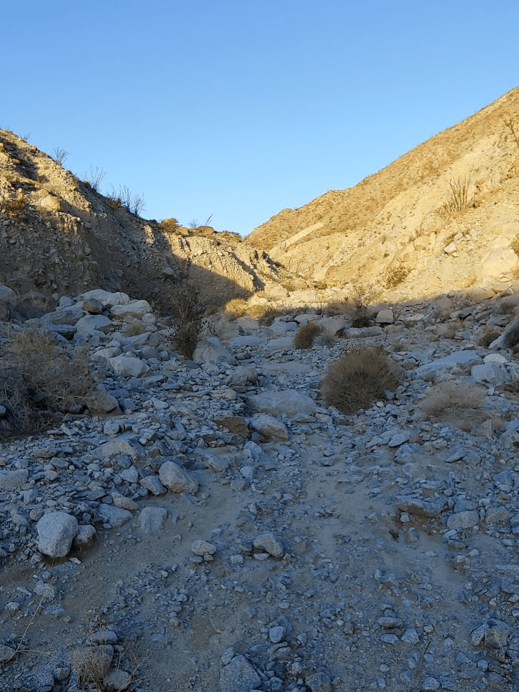
The walls of the canyon were very steep.

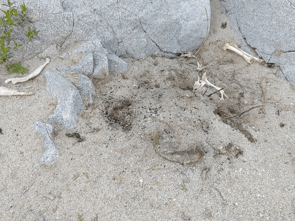
I had read many reports of bighorn sheep sightings in the canyon, so I kept my eyes peeled. I saw lots of scat and tracks, but no sheep. At 4.23 miles, I came across the skeleton of a dead bighorn sheep. The bones looked like they had been there a while and were scattered about. I only saw one horn, perhaps someone took the other one.
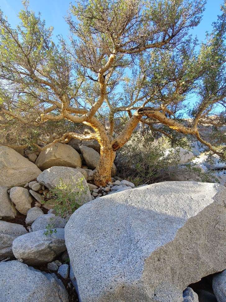
Further up the canyon I saw one of the mysterious elephant trees.
At 5.84 miles, I started up a steep ridge which would lead me out of the canyon. Even though I had covered nearly 6 miles, most of the elevation gain was still to come.
I spotted a little snail along the ridge.

The ridge was very steep.

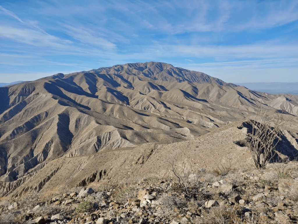
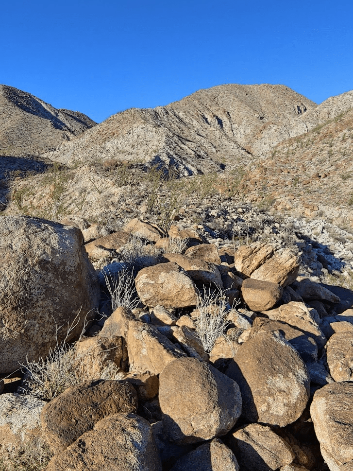
The ridge eventually flattens out around the 3000 ft level. The rest of the route is along gently sloping rocky hills.
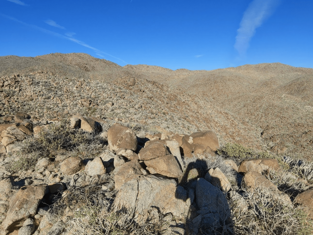
There are a few ups and downs in this section. The summit appeared close, but this stretch seemed to go on forever. It was getting very hot, but I knew I needed to conserve water for the full day.
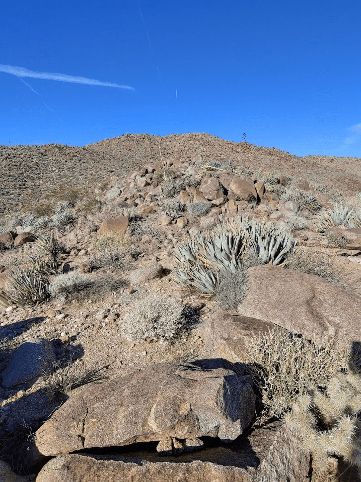
After the rolling hills section, there is a very steep section right before the summit. The summit area is a boulder field which led to some fun scrambling. I finally reached the summit (3583 feet) at 10:06am. I had been hiking for 7.45 miles.
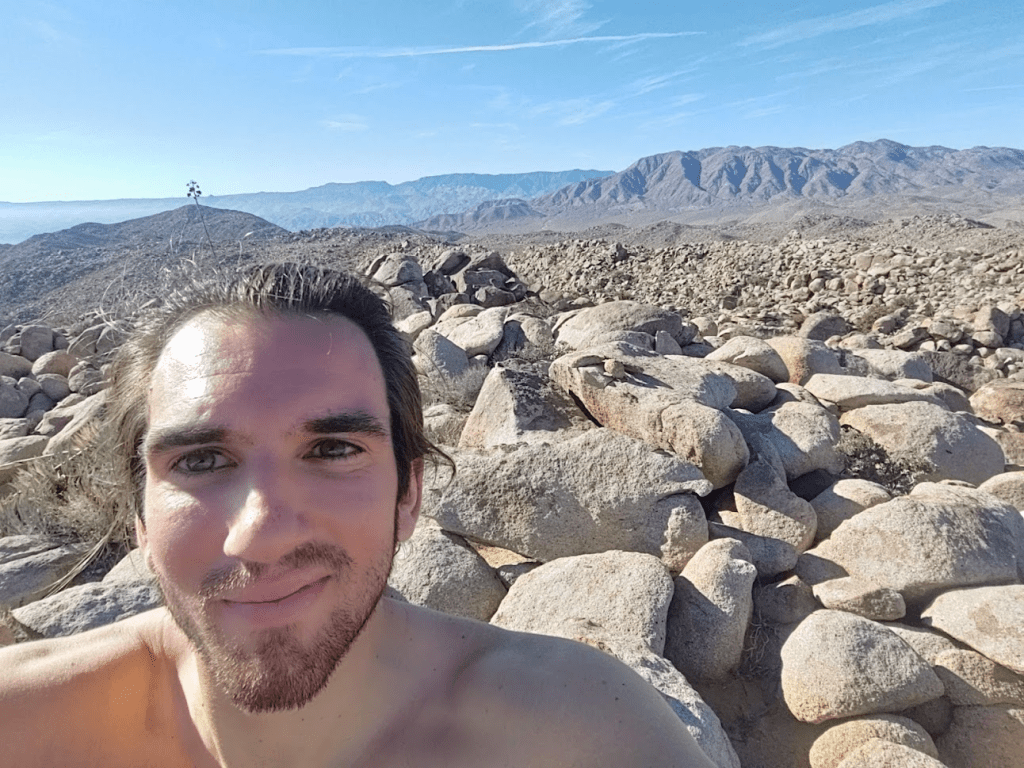
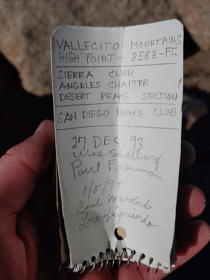
It had taken nearly 4 hours for the ascent. I was tired, hungry, and thirsty. The fantastic views and sense of accomplishment made it all worth it though. There are no USGS markers on this peak, but I did find the register which was placed in 1993.
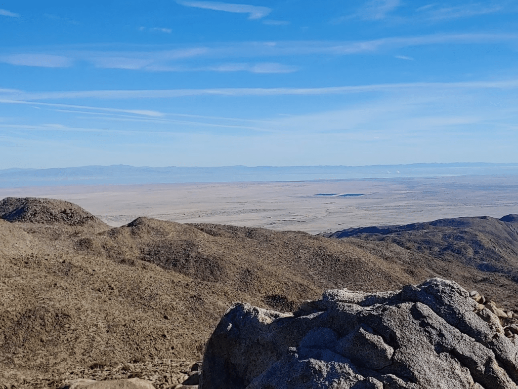
Since the Vallecito Mountains are in the middle of Anza Borrego, I felt like I could see the entire park. To the north I could see Toro Peak (right center) towering above Borrego Springs. Snow capped San Jacinto could be seen behind Toro.

To the northeast I could see the Salton Sea with the Orocopia Mountains and the mountain ranges of Joshua tree National Park behind.
To the south I could see the Laguna Mountains, Sombrero Peak, Mount Tule, Jacumba Mountain, and even Blue Angels Peak near the Mexican border.
I could even make out the windmills in McCain Valley.
Whale Peak was just a short distance to the southwest.

I spent about 45 minutes on the summit refueling, rehydrating, and basking in the warm winter sun. Finally, I began my descent at 10:50. The section with the ups and downs were annoying. When I reached the steep ridge back down into the canyon, I moved slowly to ensure good footing.
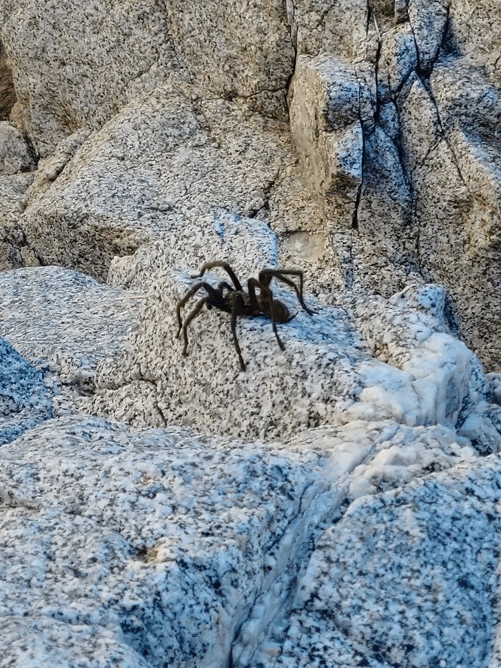
At 12:20pm I was in the canyon once more. I knew I still had nearly 6 miles back to the car, but at least the hard part was over. About halfway to the mouth of the canyon I saw another tarantula, this one alive! I couldn’t believe after never having seen one for so long I had now seen 2 in 2 days. I was glad this one was alive, it somehow made it less creepy.
***Warning*** Next picture is a large spider!!!!!
At 1:30 I reached the mouth of the canyon. I still had 3 miles to the car. I ate my last Cliff bar and drank the last of my water.

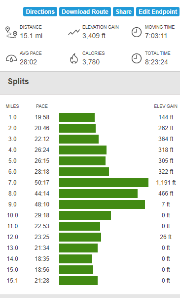
At 2:38pm I reached the car once more! It was definitely a long and tedious hike, but still a fine peak. I ended up totaling 15.1 miles, 3409 feet elevation gain, and 8:23:24 total time.