Day 1
It had been quite a while since my last desert excursion, so I decided to head north to climb some of the high desert peaks on the east side of the Owens Valley. My primary objective for the weekend would be White Mountain Peak, the 3rd highest mountain in California. I also intended to climb Waucoba Mountain, Glass Mountain, and a handful of other desert peaks. I had Friday off, so I left San Diego around 6pm on Thursday night to get a head start on the driving. I drove for 4 hours and made it as far as Fossil Falls Campground, which is about halfway between Inyokern and Olancha. I didn’t get a great look at the campground since I arrived and departed in the dark, but it appeared to just be an open patch of desert. I didn’t see any bathrooms, picnic tables, fire pits, etc. It served its purpose though – it was less than five minutes from the highway but still far away enough that I wasn’t disturbed during the night. The campground is barely over 3000 feet above sea level, so it was a very warm night (82 degrees when I arrived just after 10).
Day 2
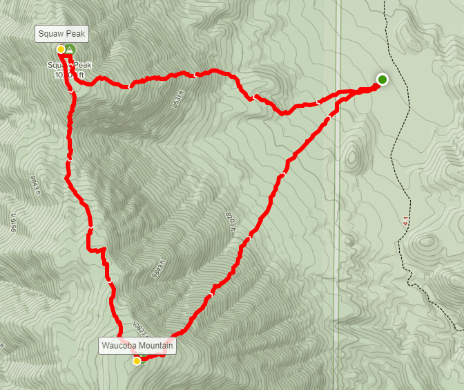
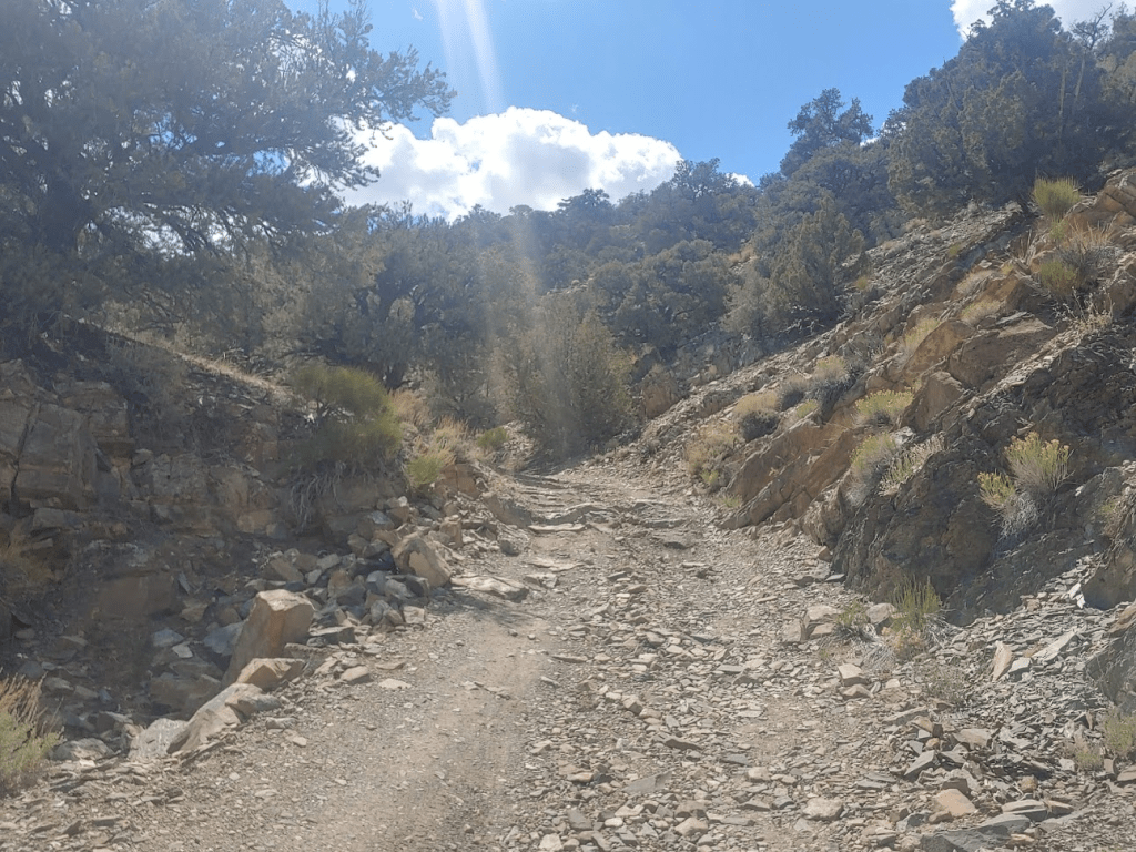
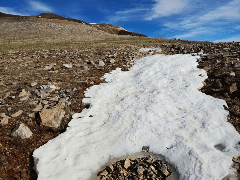
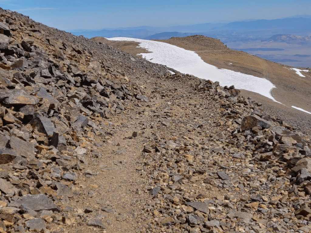
I woke up at 4am and hit the road at 4:30. I still had about 2.5 hours of driving, so I wanted to get an early start. My plan for the day was to climb 11,123 foot Waucoba Mountain, which is the highpoint of the Inyo Mountains. The Inyos are a long desert mountain range that parallel the Sierra Nevadas on the opposite side of the Owens Valley. The much higher Sierras have a strong rain shadow effect which is responsible for the arid climate of the Inyos. I also intended to climb nearby Squaw Peak (10,358 feet) for a nice loop hike of about 9 miles. Waucoba is on the Sierra Club Desert Peaks Section (DPS) List, and both peaks are included in Andy Zdons book Desert Summits. I drove north on US-395 to the small town of Big Pine, turned east onto CA-168, and then south onto Death Valley Road. I drove 13 miles on paved Death Valley Road before turning south onto Waucoba Saline Road. I drove about 10-11 miles on this well graded dirt road before turning west onto a rough dirt road. I drove a short distance on this road and then parked. I started hiking at 7:18am from 7021 feet.

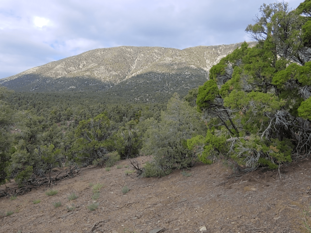
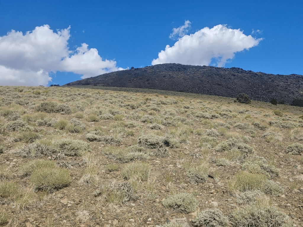
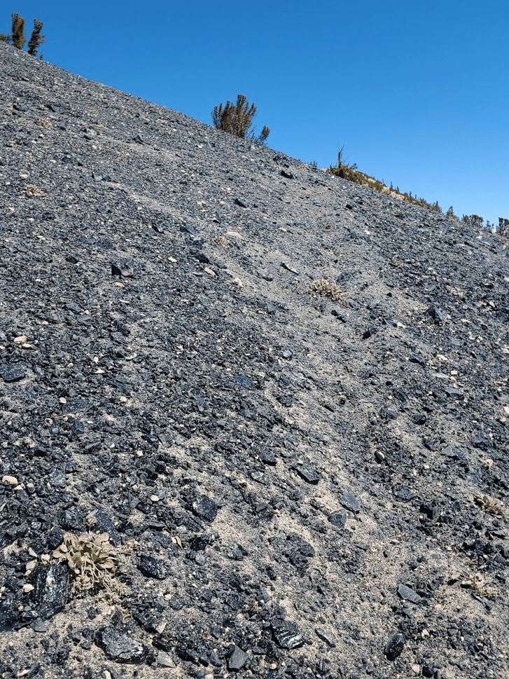
I started off hiking west through a pretty dense forest of pinyon and juniper, a very typical landscape for the high desert. At 0.4 miles I passed a sign indicating I was now in Inyo National Forest. I believe I was actually parked in a remote corner of Death Valley National Park.

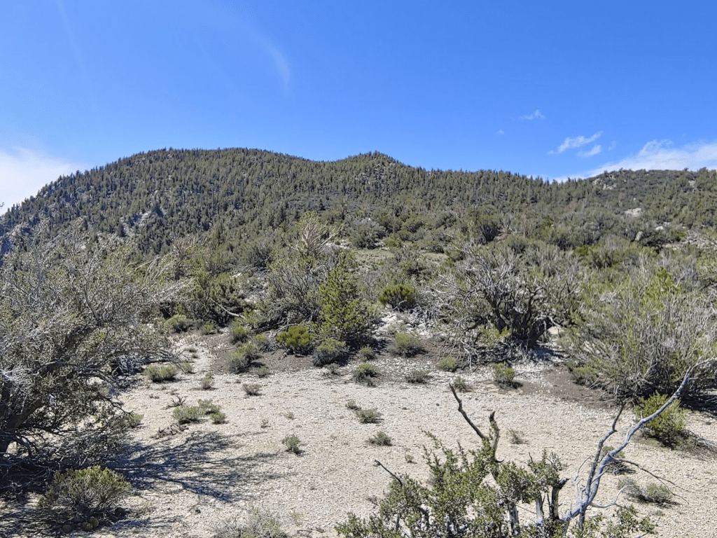
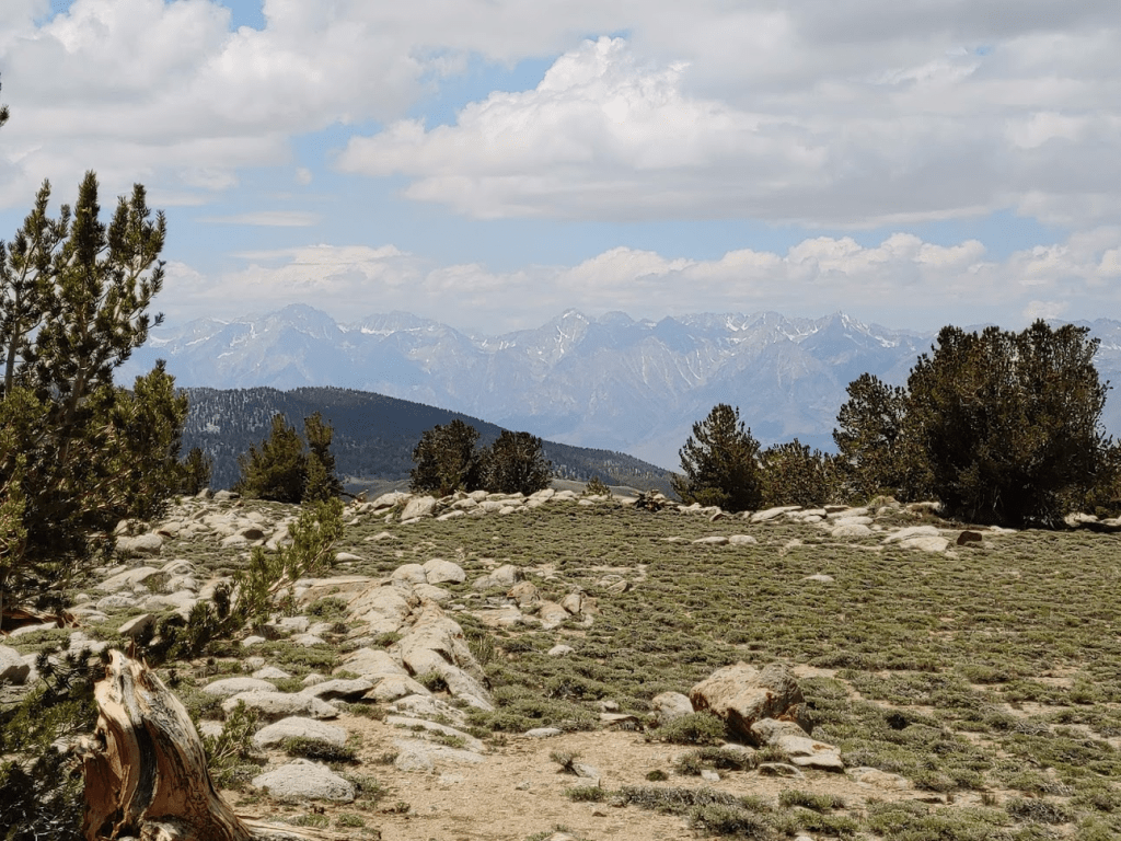
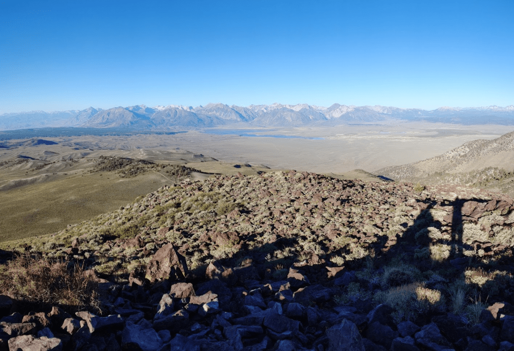
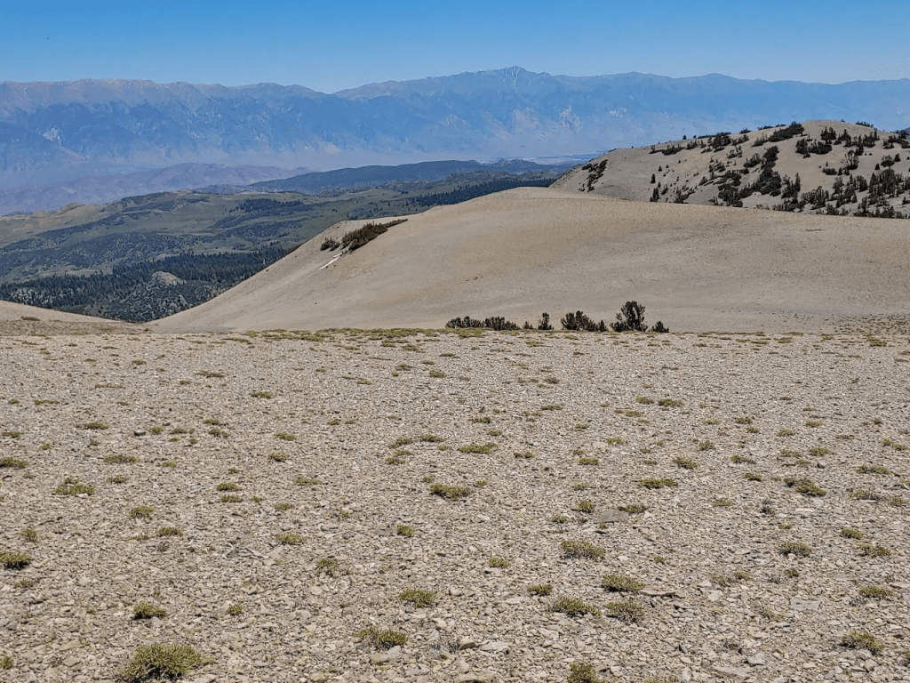
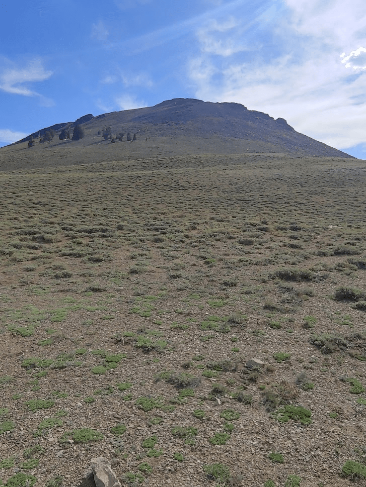
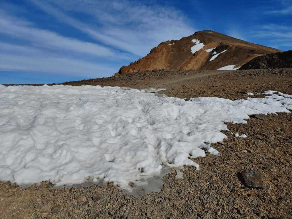
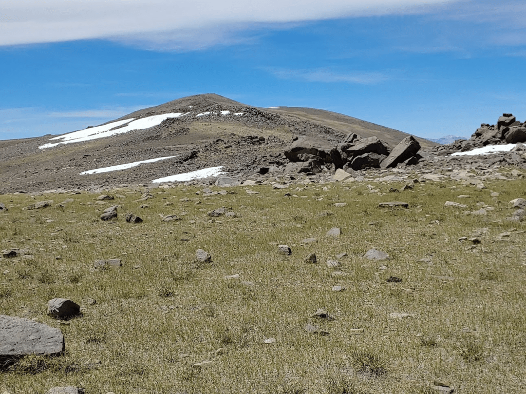
At 1.34 miles I reached the base of Squaw Peak. Waucoba and Squaw both looked like massive hills, rather than craggy desert peaks.
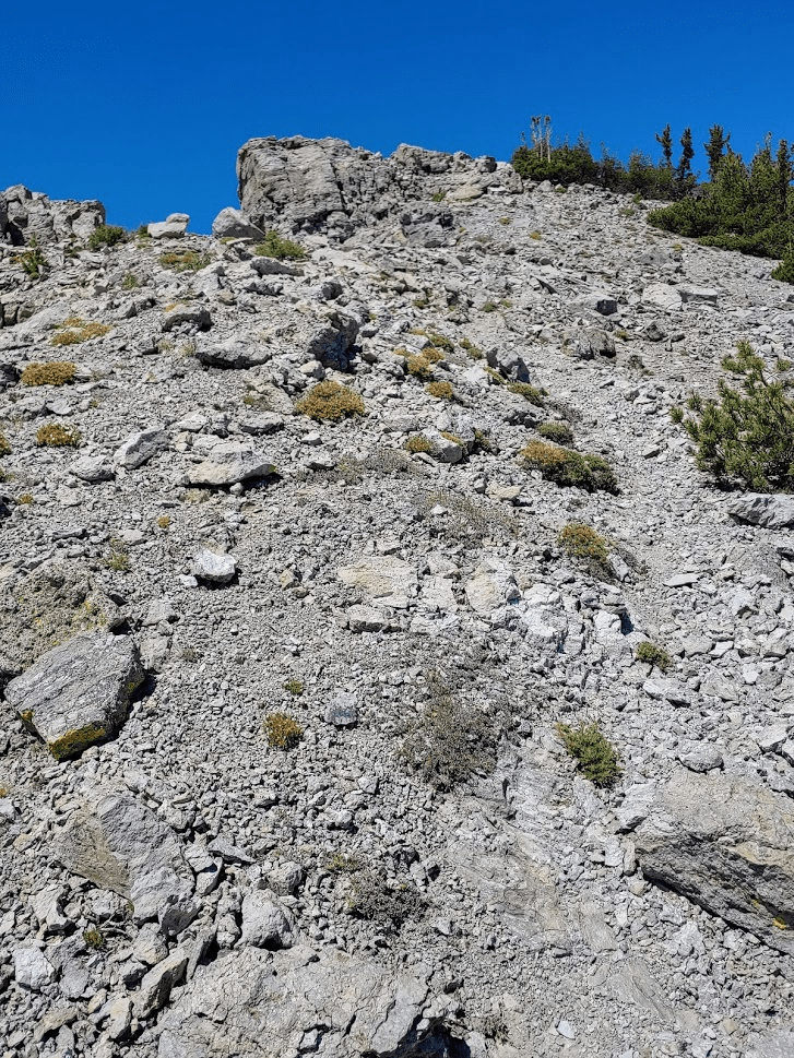
I started climbing Squaw Peak. It would be a 3000 foot climb in under 2 miles from the base of the mountain, which is STEEP.
It was still pretty early so the temperature was manageable. I made slow progress up the steep hillside. I wasn’t feeling like my usual self – perhaps my legs were still recovering from my strenuous hike the weekend before. The trees began to thin out the higher climbed.

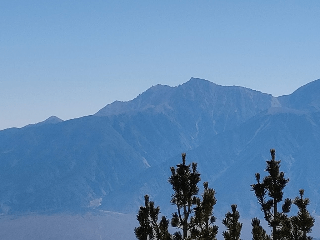
After a long slow climb, I finally reached the main ridgeline. I turned north and hiked the short distance to the summit. I reached the top at 9:35am at the 3 mile mark. It was quite hazy, so the views weren’t that great. I could barely see White Mountain Peak far to the north.
Just a few miles to the south I could see Waucoba Mountain rising 800 feet higher than where I was.
The Sierras were partially obscured by clouds.

There are no survey markers on Squaw Peak. I signed the register which was placed in 2006. I noted there were no entries from 2007 – 2014, and then only a few pages of signatures since then. I continued hiking to Waucoba after a 25 minute break. I followed the ridge to the north and then climbed down to the saddle.

I descended about 700 feet to the saddle at 9621 feet.
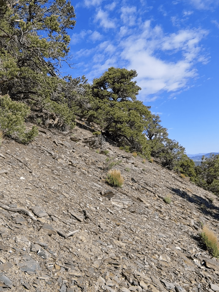
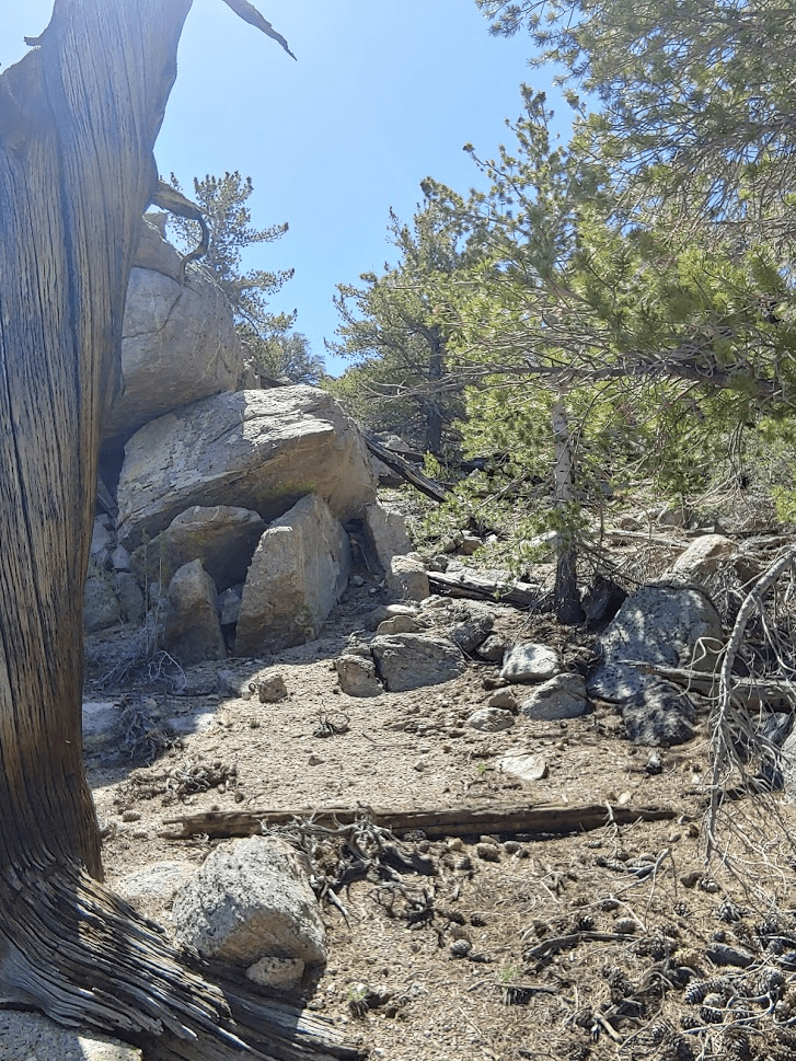
The section just after the saddle is pretty brushy.
Hiking along the ridge was no where near as steep as the initial ascent up Squaw. The trees started to thin out again near the top.
I reached the top at 11:38am at 5.8 miles! I located a benchmark and 3 reference markers including one which was pointed directly at the ground.


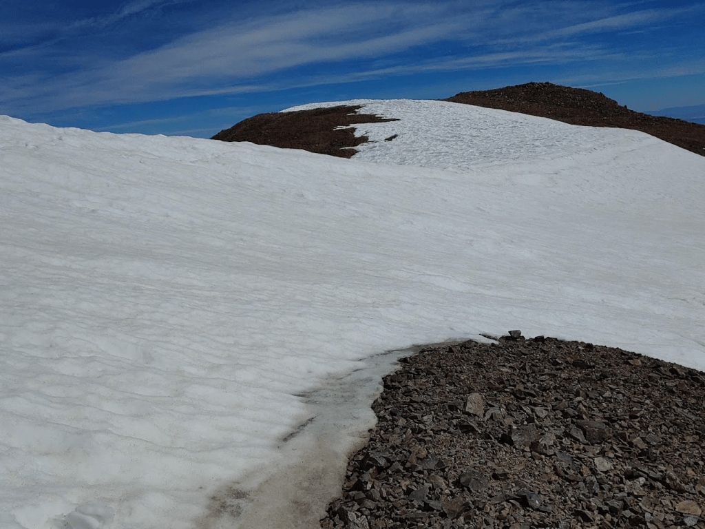
The summit area was very large and flat. It would have been difficult to determine where the highest point is without GPS help. The views honestly weren’t as good as I was hoping. The haze really obscured things and there was some tree cover on the summit.
I signed the register which was placed in 2013. The previous ascent was from June 18th. I started descending after nearly a 50 minute break on top.

The slopes of Waucoba were just as steep as Squaw, so I went slow to avoid stumbling. I had a good view of Squaw a few miles north as I was descending.

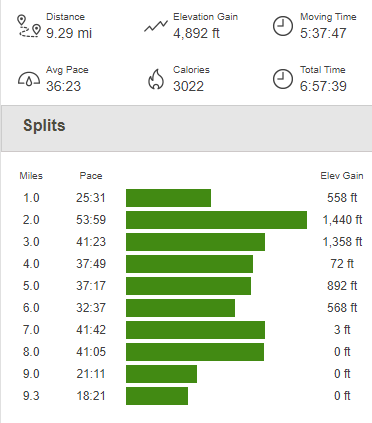
The temperature had been very pleasant for most of the day, but really started to warm up as I descended. I reached the car again at 2:17pm. This hike totaled 9.29 miles, 4892 feet elevation gain, and 6:57:39 total time.
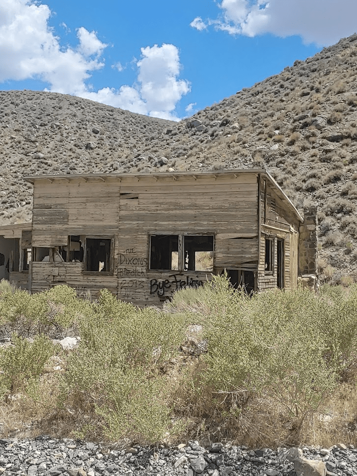
I still had some time to kill so I decided on doing one more nearby peak from Zdon’s book, Andrews Mountain (9440 feet). I was pretty exhausted so I wanted a peak that wouldn’t be too tough so I could conserve energy for the remaining days of my trip. I drove north until I reached Death Valley Road again. I stopped briefly to take a few pictures of an abandoned cabin that I had seen on the way in. I find it really interesting all the random things you can find in the desert!
Once I reached Death Valley Road, I turned left and went 2 miles before turning left (south) onto Forest Road 9S15 (Hines Road on Google Maps). Zdon says to follow this road 5 miles up to a mine at 8800 feet. I made it 3 miles before reaching a rough spot where I decided to park. A small caravan of 3 jeeps came down the other way as I was parking. I chatted with the lead driver for a minute and he advised I didn’t go any farther in my Subaru. Good enough for me. I started hiking at 3:22pm from 7739 feet.
It was around 80 degrees at this elevation, so it felt warm, but it was tolerable. I hiked up the road for 0.3 mile and turned left (south) at a fork onto Forest Road 35E423.

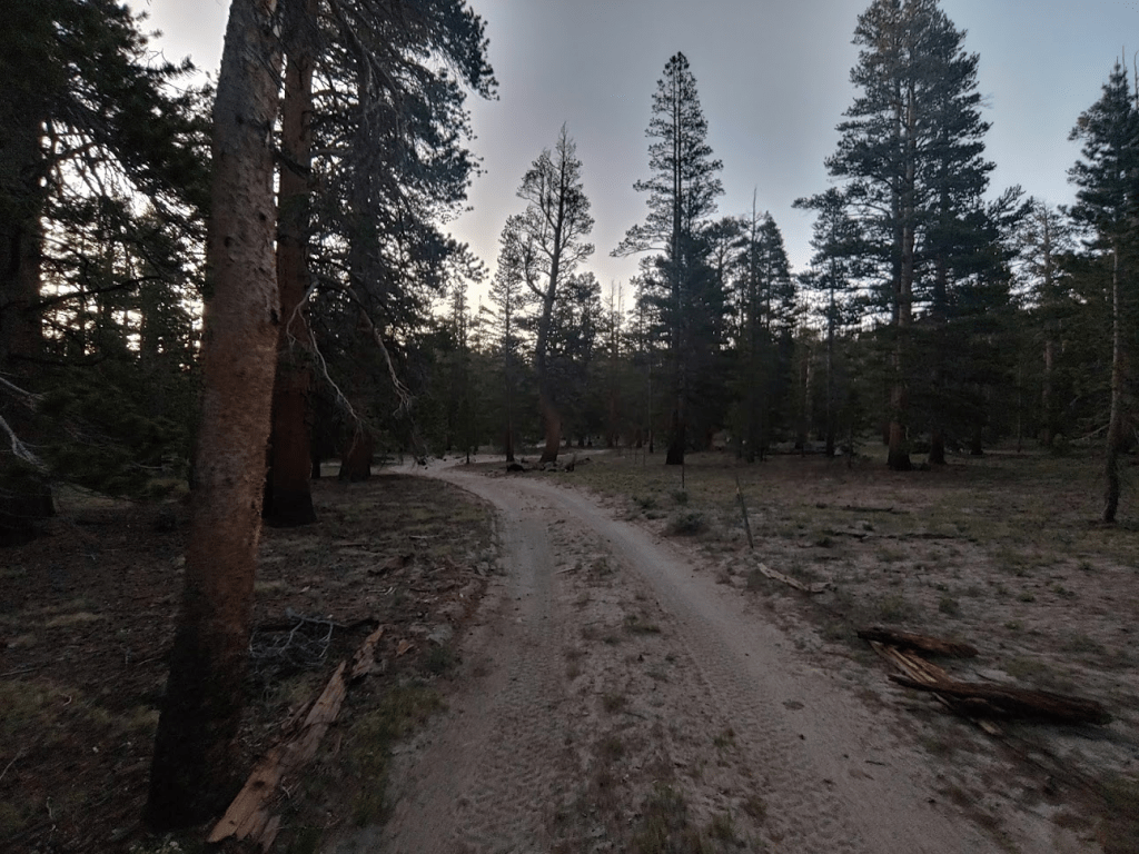
Rather than follow this road until it ends at a mine like Zdon suggests, I decided to start heading cross country in a direct line towards the peak at 0.9 mile.

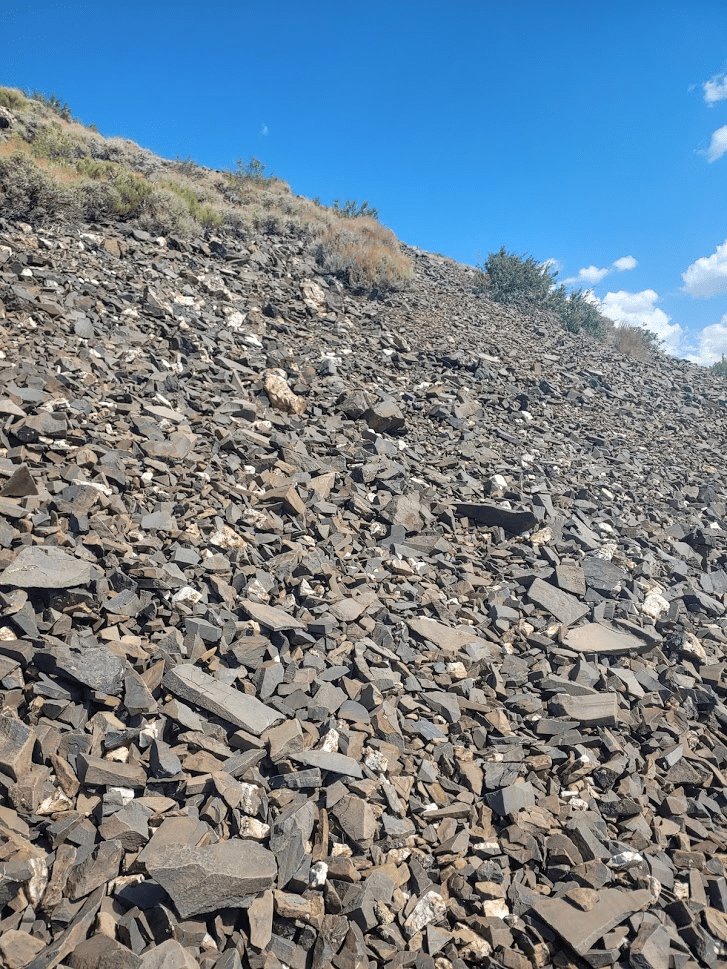
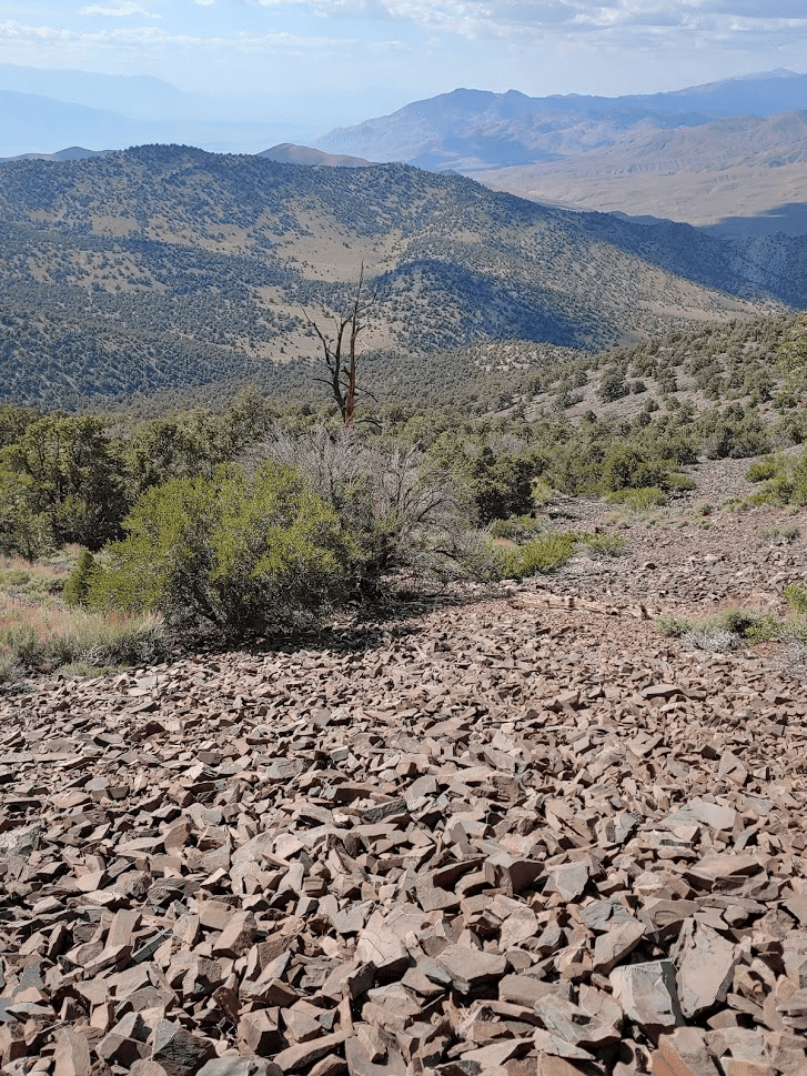
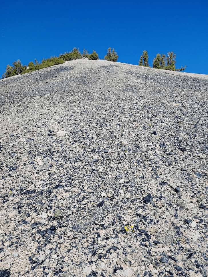
The slope was steep, but manageable. The summit area was made up of some cool dark colored rocks.
The last part of the climb was short, but rocky.
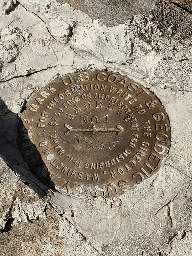
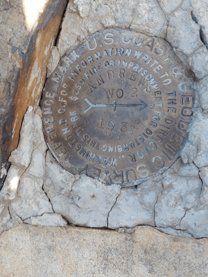
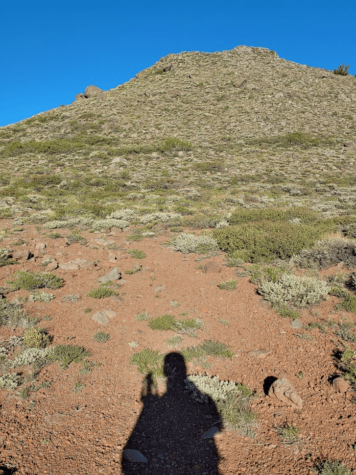
I made it to the top at 4:11pm at the 1.77 mile mark! I located the register which was pretty new. It was placed on May 21st, 2020 and only had a few entries, the most recent being June 20th. I located the USGS benchmark and 2 reference markers.

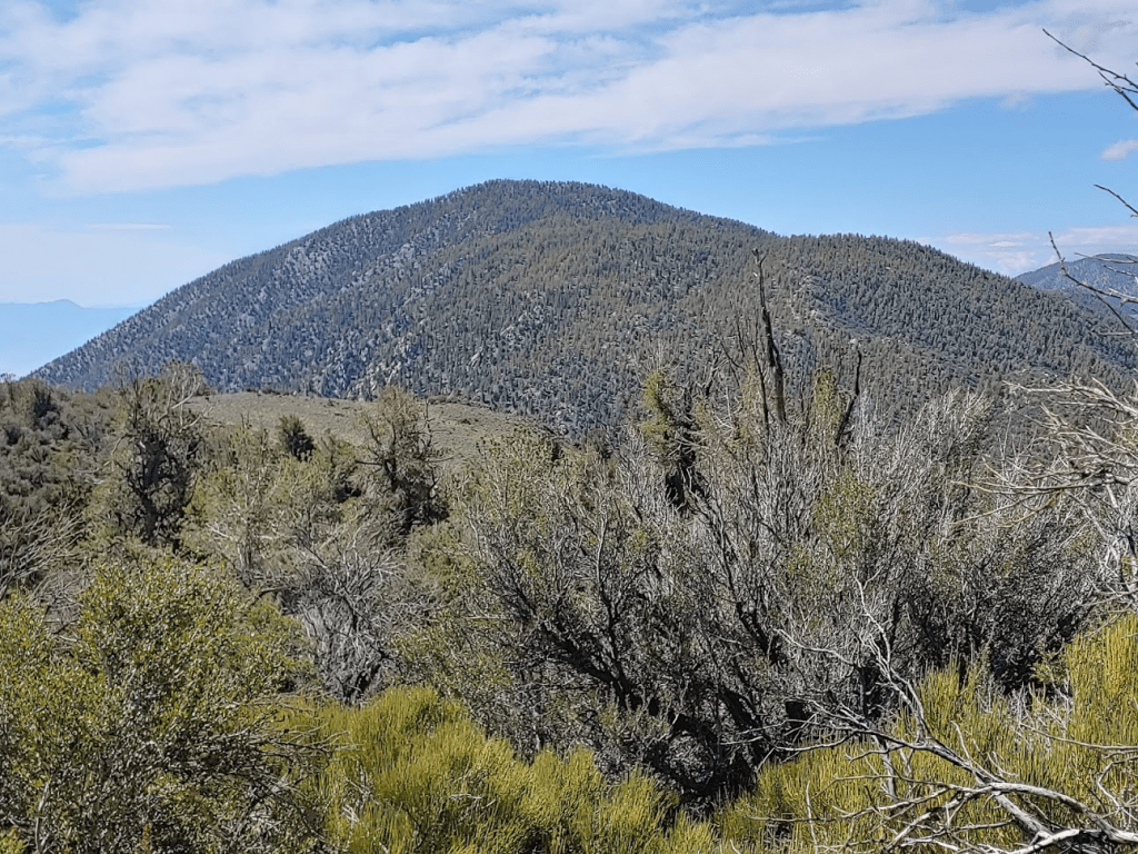
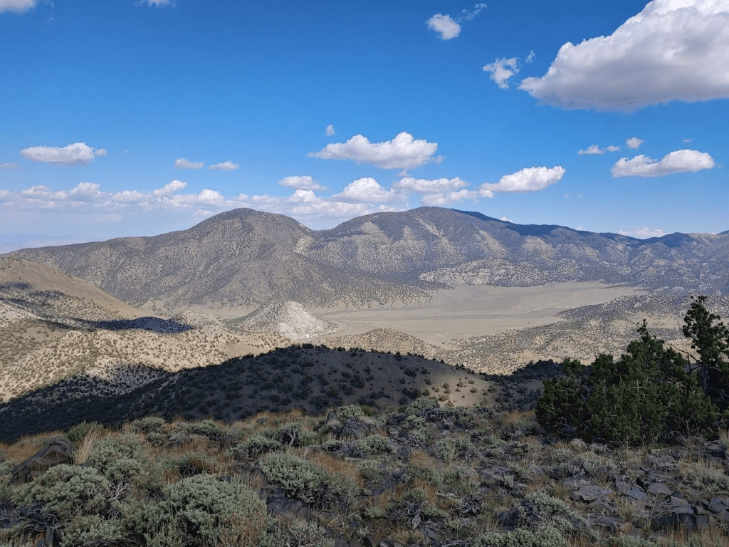
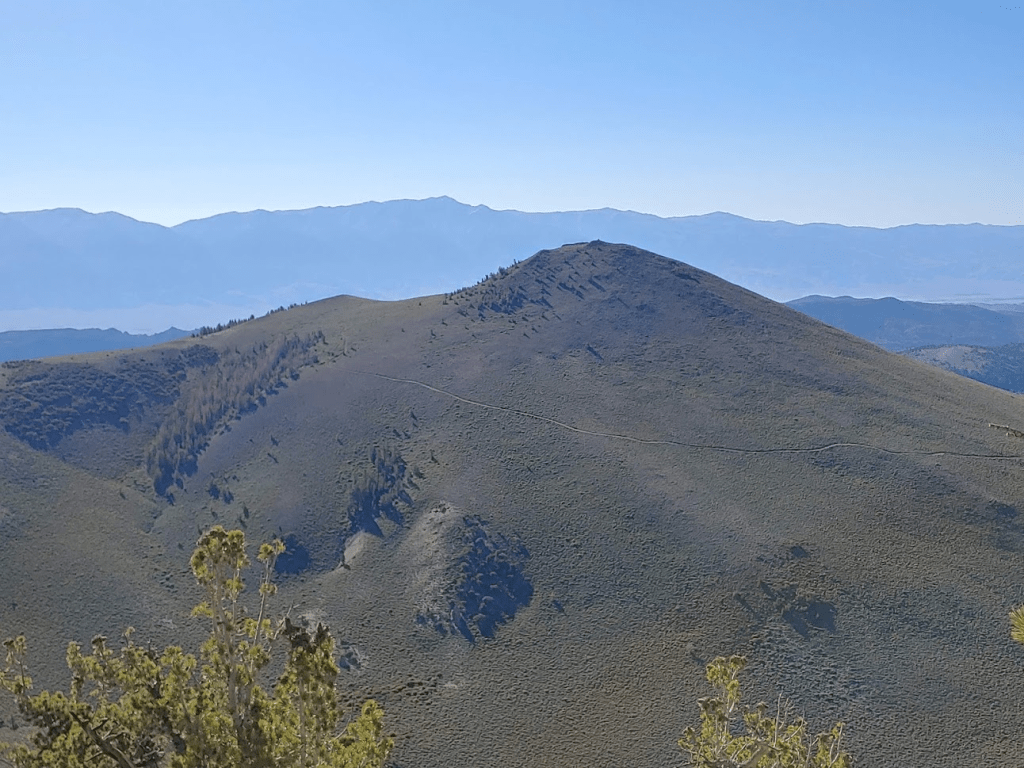
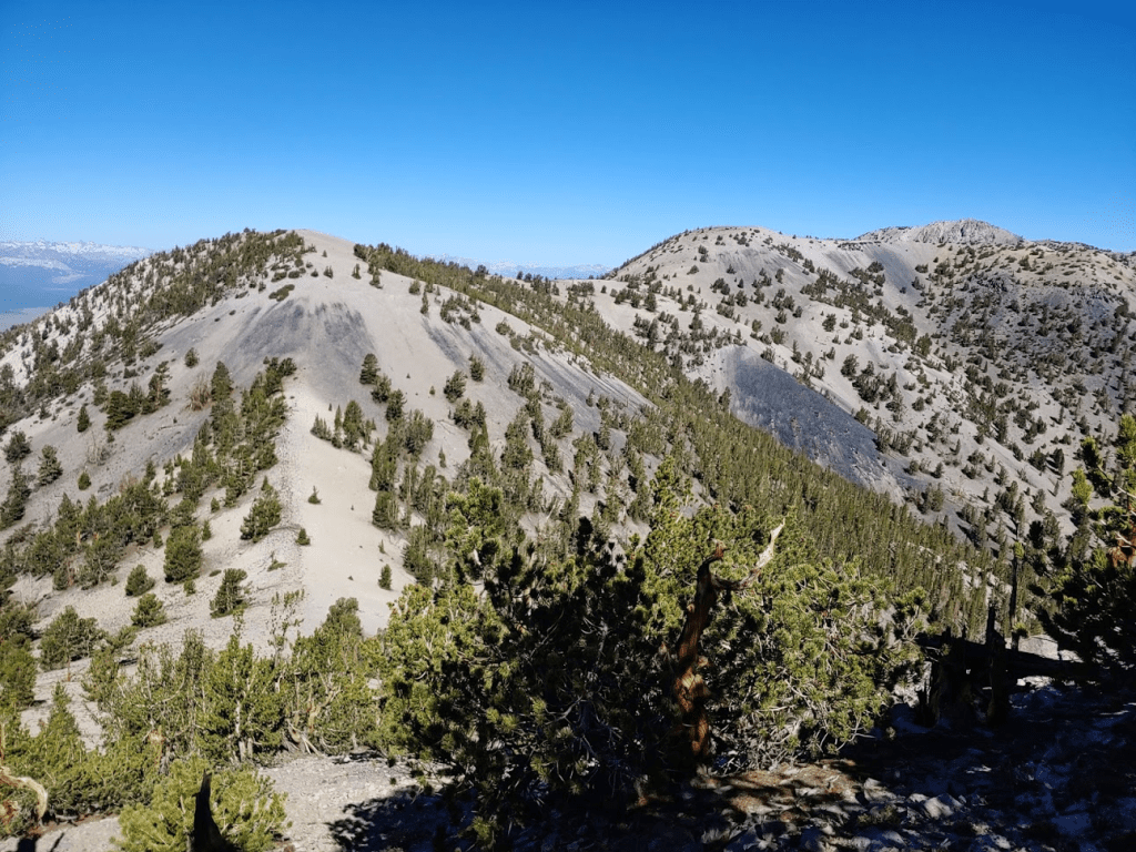
The views were pretty nice, although not quite as good as the much higher peaks from earlier in the day. I had an excellent perspective of Squaw and Waucoba from here though. In the picture below, Squaw is on the left and Waucoba is on the right.
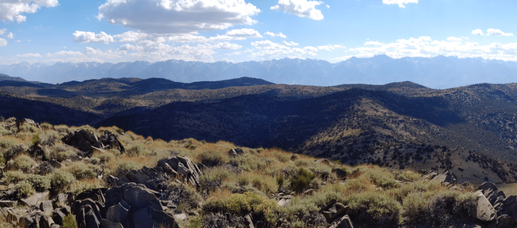
The view of the Sierras was excellent of course.
I started descending after a nice 20 minute break on the summit.
I took a more direct route back to the road, hoping to shave off a little distance on my way down. I reached the road again at 2.95 miles.

From there it was a short walk back to the car. I reached the car at 5:14pm. This hike totaled 3.35 miles, 1670 feet elevation gain, and 1:51:54 total time.

I drove back to Big Pine, and then went north on US-395 to the town of Bishop. Bishop isn’t a large city by any means, but it is the largest population center in the Owens Valley and Inyo County. It was 105 degrees in Bishop, so I quickly filled up on gas and got a bite to eat before heading out. I then went north on US-6 to Benton, and then west on CA-120 for 17 miles to dirt McGee Canyon Road. I drove south for 13 miles on well graded dirt roads until I reached Sawmill Meadow. Sawmill Meadow consists of just an outhouse, one picnic table, and some open area for camping. I was the only one there on a Friday night, so clearly not a popular spot. The elevation is around 9000 feet, which kept temps cool enough for me to have a great night of sleep.
Day 3
My plan for Saturday was an ambitious one. My primary reason for being here was to climb 11,160 foot Glass Mountain, which is a DPS peak as well as the local highpoint. I also intended to climb 3 nearby Zdon peaks: Cone Peak (10,151 feet), Wilfred Peak (10,138 feet), and Kelty Peak (10,597 feet), as well as 2 more Peakbagger peaks: Glass Mountain Ridge (10,840 feet) and Glass Mountain-North Peak (11,123 feet). All 6 peaks are lined up one after the other along a high ridge which generally stays above 10,000 feet. I got started at 5:11am from 9147 feet.

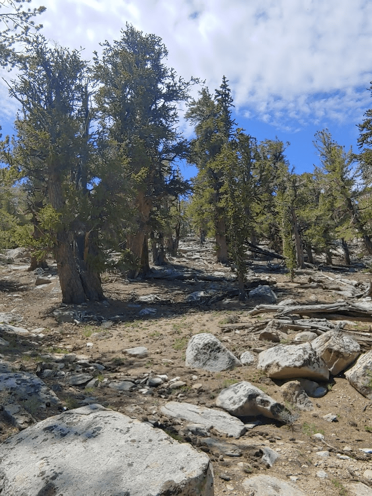
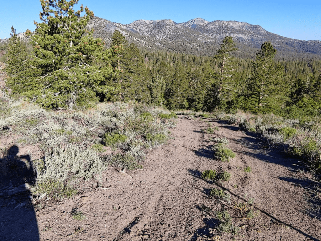
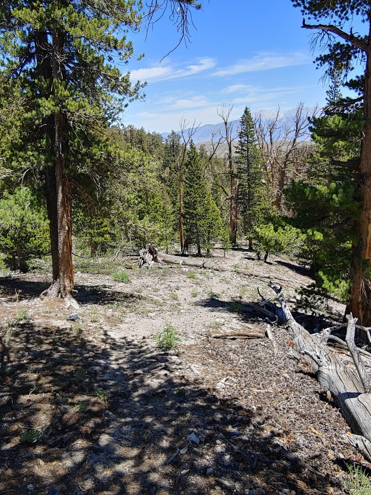
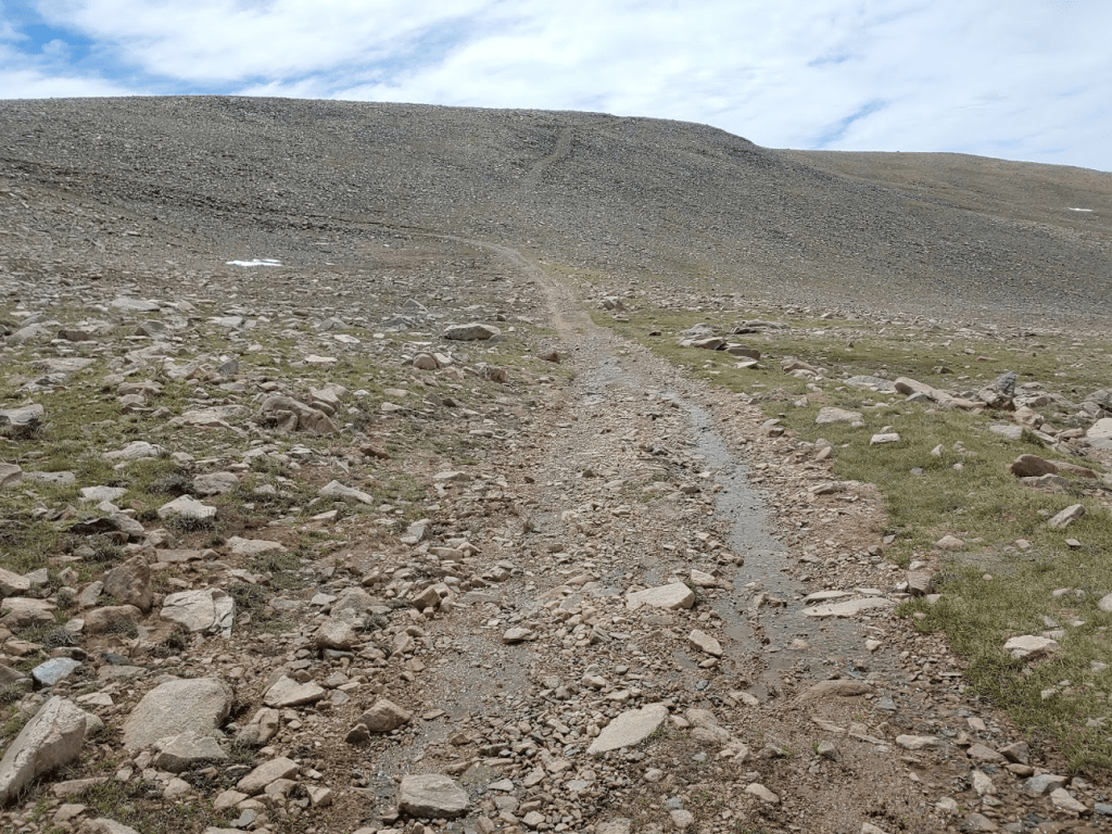
The ridge containing the 6 peaks goes generally in a southeast – northwest direction. My plan was to start at the southeast end of the ridge at Cone Peak and make my way northwest to the final peak which is Glass Mountain-North Peak. I would need to hike southeast for a few miles through the woods before gaining the ridge. The pine forest was very pretty in this area – it certainly didn’t feel like a desert peak!
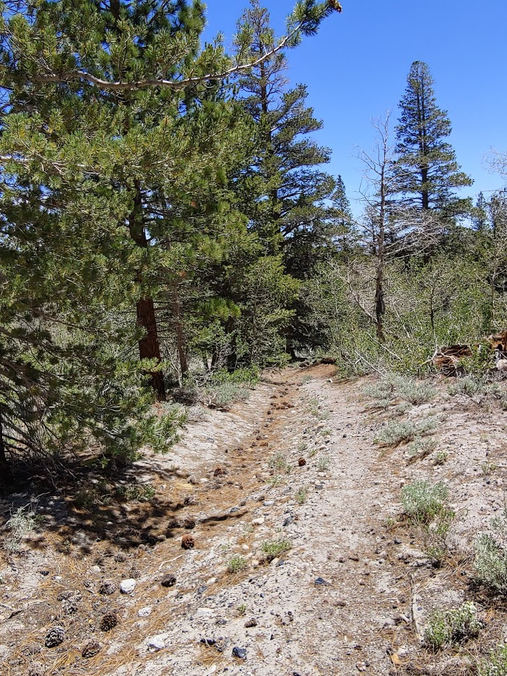
I made my way southeast on a series of dirt roads. Judging from the tire tracks it appears there is a decent amount of OHV traffic in the area.

At 1.71 miles I left the road and made my way through the forest. I began climbing up a steep hill. The trees really thinned out as I gained elevation.

At 2.88 miles I reached another road.

I proceeded east on the road and then turned right (south) at a fork. Cone Peak was dead ahead.

The road took me pretty close to Cone Peak but petered out near the summit.
I reached the summit at 7:02am at the 4.46 mile mark! There was a large cairn on top. I found the register tucked inside the cairn.
The sky was much clearer than the previous day. I knew the views would improve the higher I climbed, so I didn’t take too much time on this summit.
After a 15 minute break, I began to descend from Cone Peak. There is actually a fairly deep canyon between Cone Peak and Wilfred Peak, so I was unable to hike directly towards it. I got back on the road and followed it north and then around to the west.
Similar to Cone, the road led part of the way up Wilfred but not the whole way.
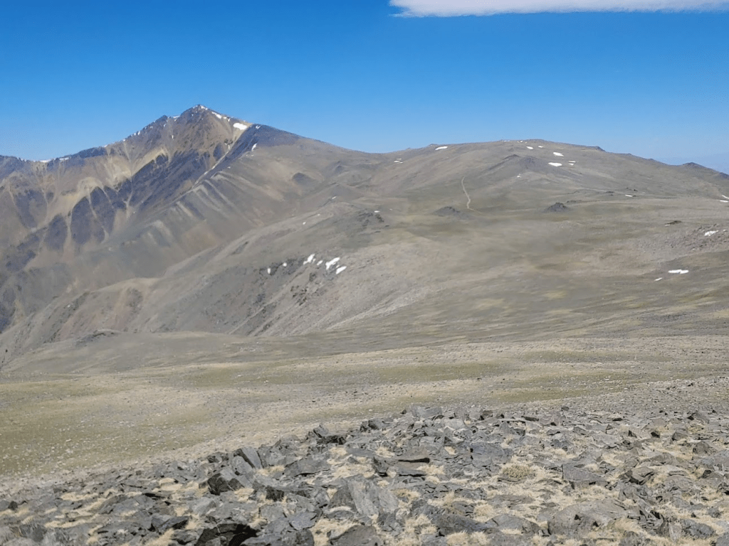
I reached Wilfred Peak at 8:10am at the 6.62 mile mark! I signed the register and spent some time soaking in the views. I had a great view of Cone Peak about a mile to the east. White Mountain Peak is behind it in the distance.
Looking northwest, I could see the remaining peaks along the ridge.

I left Wilfred and started hiking northwest towards Kelty. Now that the sun was fully up the weather was very beautiful. Not too hot, not too cold. I dropped about 400 feet to a saddle between the 2 peaks.

The next 800 feet to Kelty Peak was very steep. I followed a sandy use trail up to about 10,000 feet before it petered out. My legs were already starting to feel tired, which was mildly concerning considering how far I still had to go. I eventually made it to the top of the steep slope after taking a few breaks along the way. I reached the summit of Kelty at 9:25am at 7.94 miles.

Kelty’s summit was covered in trees so the views weren’t great. I did get a great shot of Boundary Peak (left) and Montgomery Peak (right) at the northern end of the White Mountains. The California/Nevada state line crosses right between the 2 peaks. So, even though Montgomery is 300 feet higher, Boundary is the highest point in the state of Nevada at 13,146 feet. I climbed Boundary back in August 2018.
As I was leaving the summit, I noticed a few scraps of paper stuck inside a bush. I got closer and realized it was the register. I didn’t see a jar or any sort of canister nearby. The pieces of paper were somehow still dry. I couldn’t believe they hadn’t blown away in the wind. I managed to sign it and then tucked it underneath a rock near the summit. After dealing with the register, I descended about 200 feet to another saddle.
The next climb wasn’t nearly as bad as the climb to Kelty, but it was still steep.
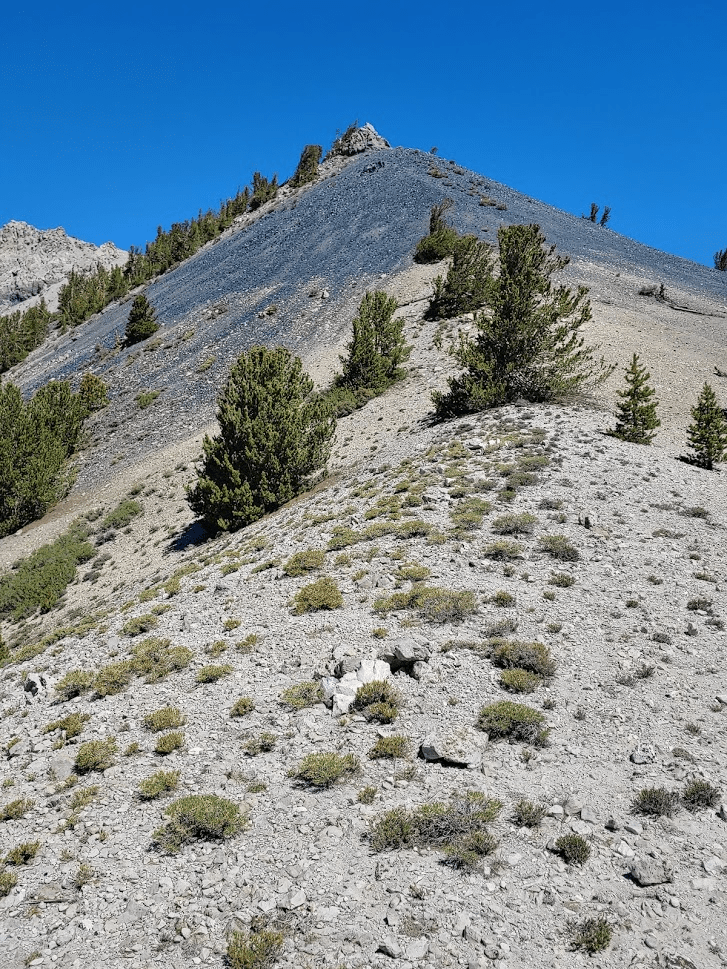
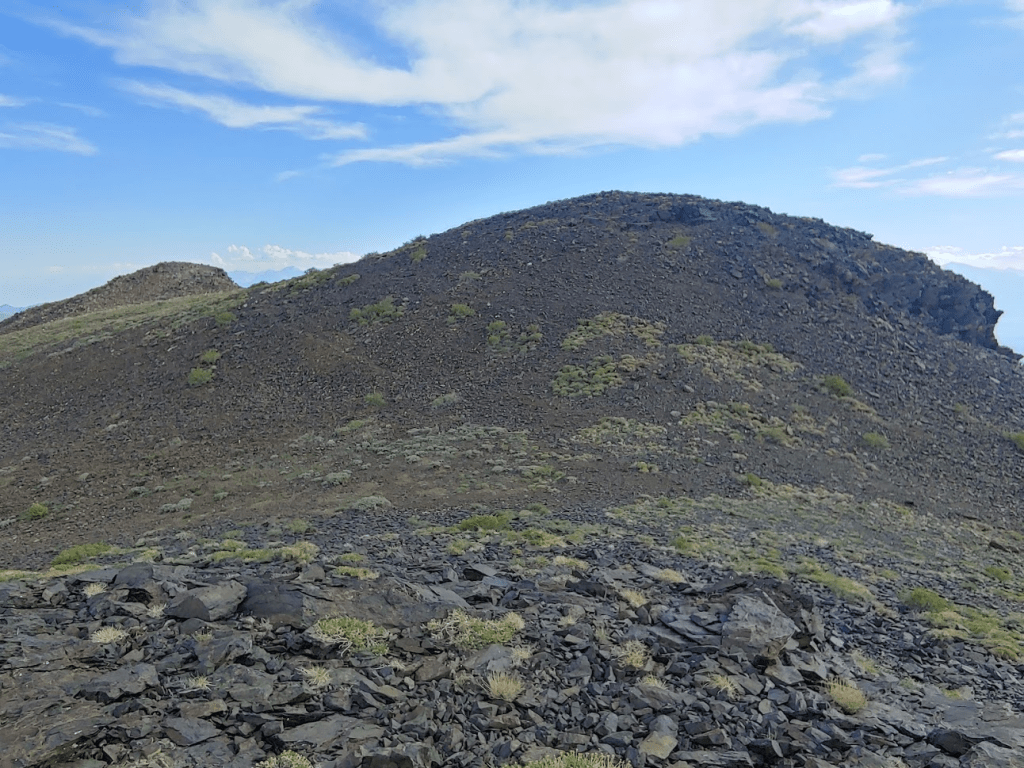
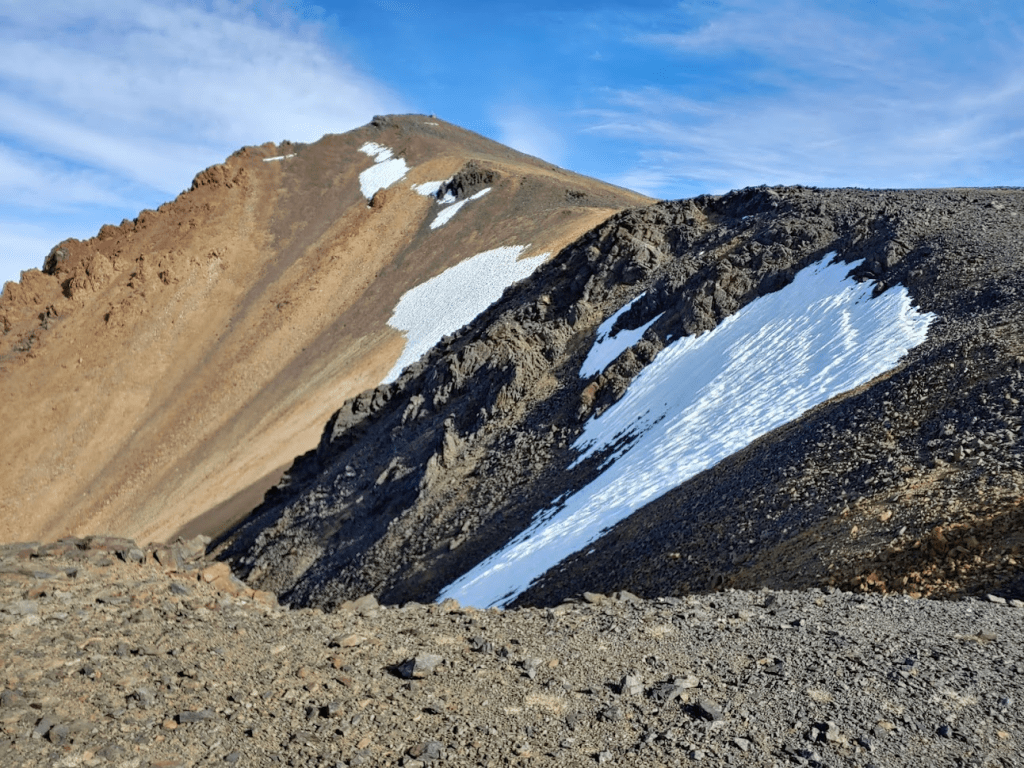
At 10:17 I reached Glass Mountain Ridge at 8.88 miles. I got my first real good look at Glass Mountain from here. Glass Mountain’s south face looked very impressive from this angle.

There were some giant bees on this summit, so I didn’t linger too long. I descended to another saddle at 10,484 feet. 700 feet to go from here!
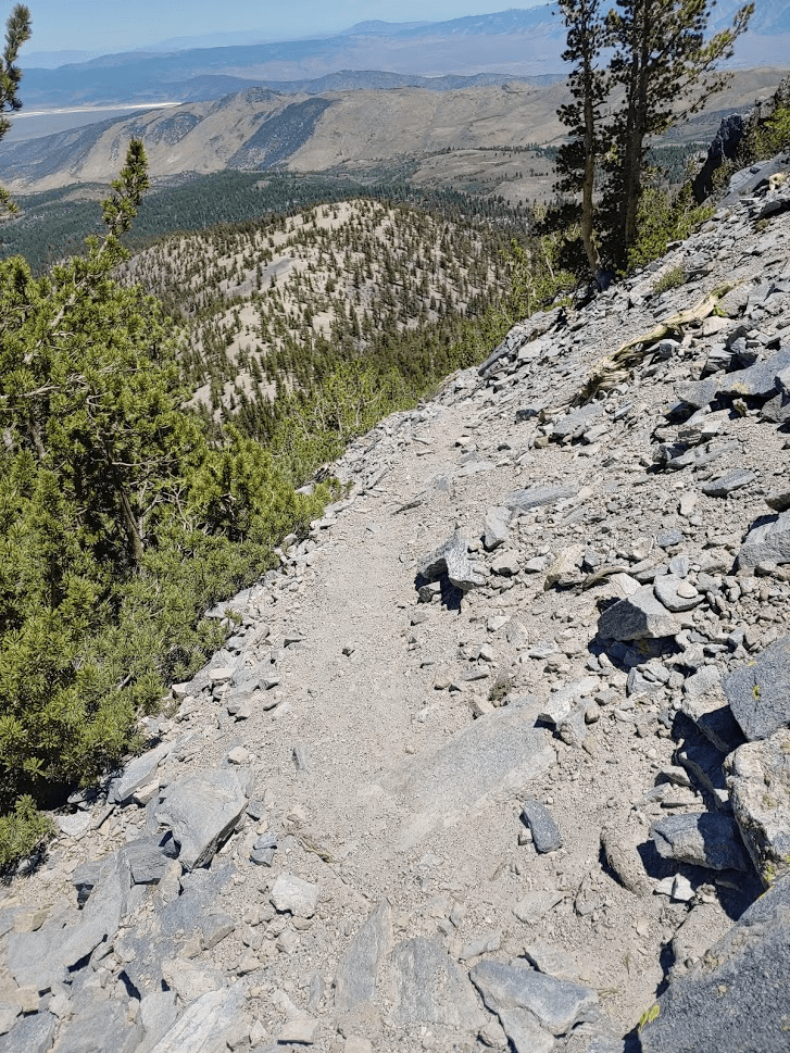
This part was tough. All the steep climbing was really starting to wear me down. I found a vague use trail part of the way up.
The summit was now close!

The final portion was very steep.
I reached the summit at 11:08am! I had taken exactly 10 miles to get this far.

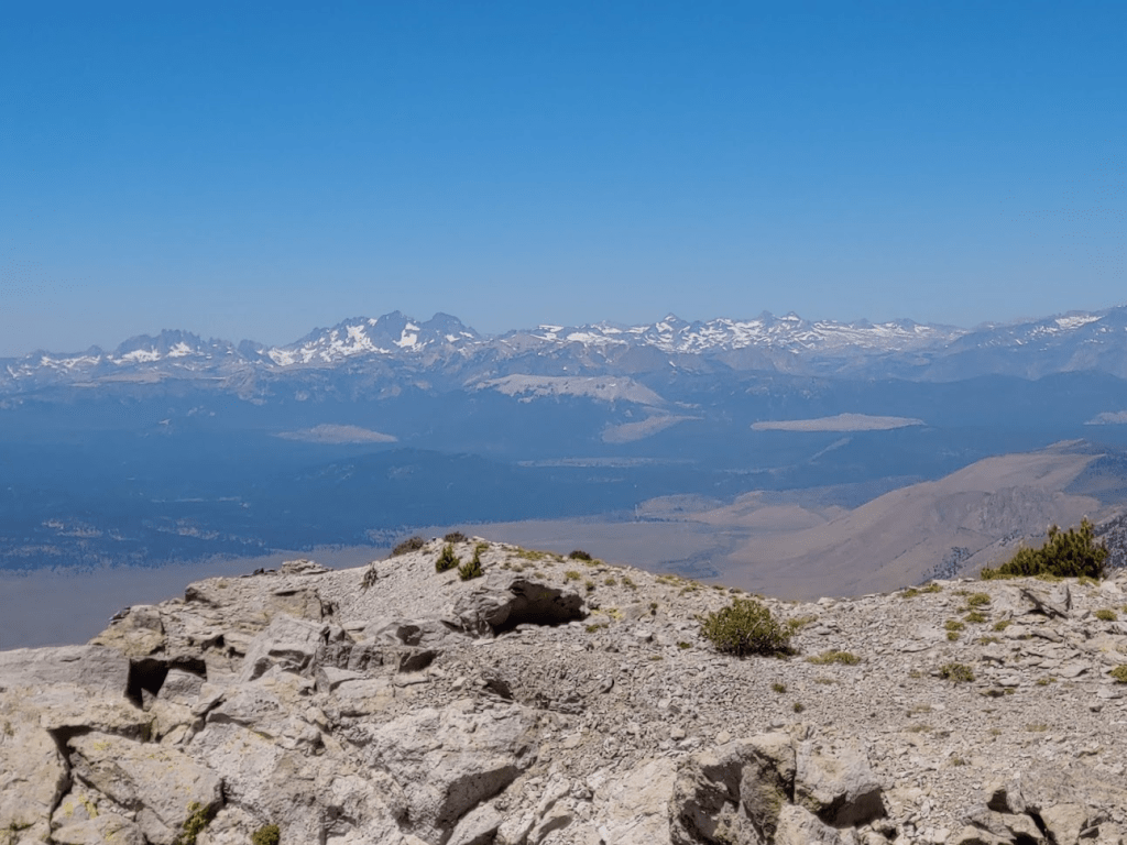
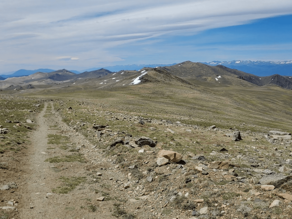
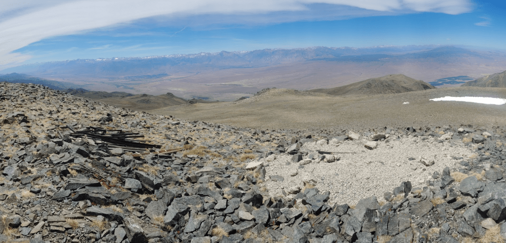
I located and signed the register. This was a somewhat popular peak, with entries every few days. The previous entry was from June 21st. The views were very spectacular. To the south was Lake Crowley.

I’m not familiar enough with this section of the Sierras to identify individual peaks. I believe my view stretched from the Palisades section in Kings Canyon National Park all the way north to the peaks of Yosemite National Park.

To the east was the long ridge of the White Mountains. From north to south I could make out Boundary Peak, Montgomery Peak, Mount Dubois, and of course White Mountain Peak.

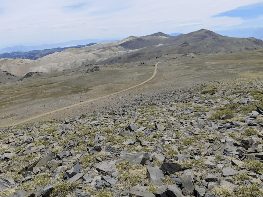
I took a 30 minute break before continuing to my final peak of this hike: Glass Mountain-North Peak. This would actually be the easiest portion of the hike, with only minimal descent and ascent between the 2 peaks.

The grade leading up to the north peak was considerably easier than the other peaks.
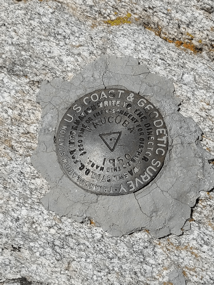
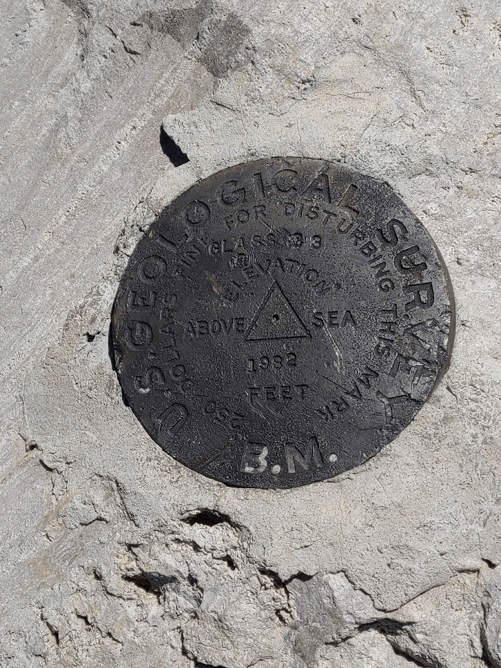
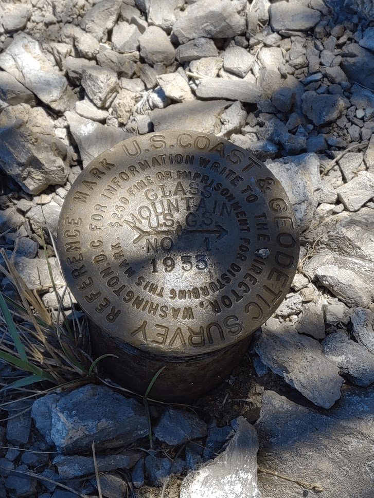
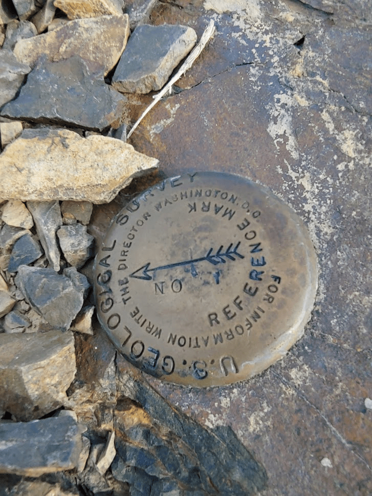
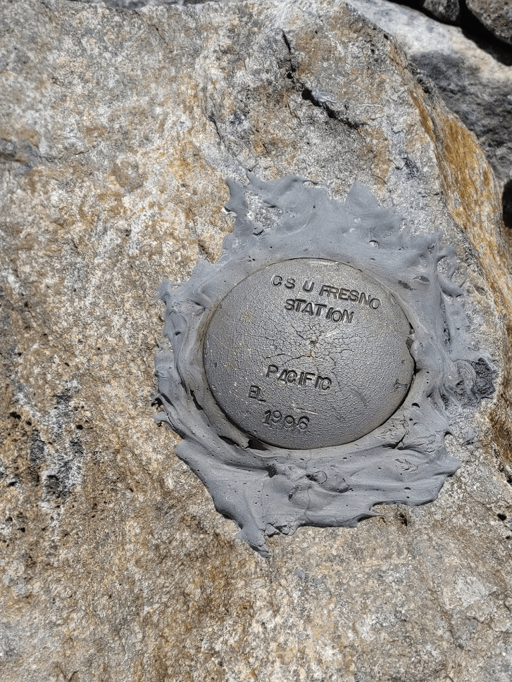
I reached the north summit at 12pm exactly! It had taken 20 minutes to hike ¾ of a mile between the 2 peaks. The slightly lower north summit is actually where the map is labeled as Glass Mountain, which is weird. This summit also contains the USGS markers – I located a benchmark and 2 reference markers.

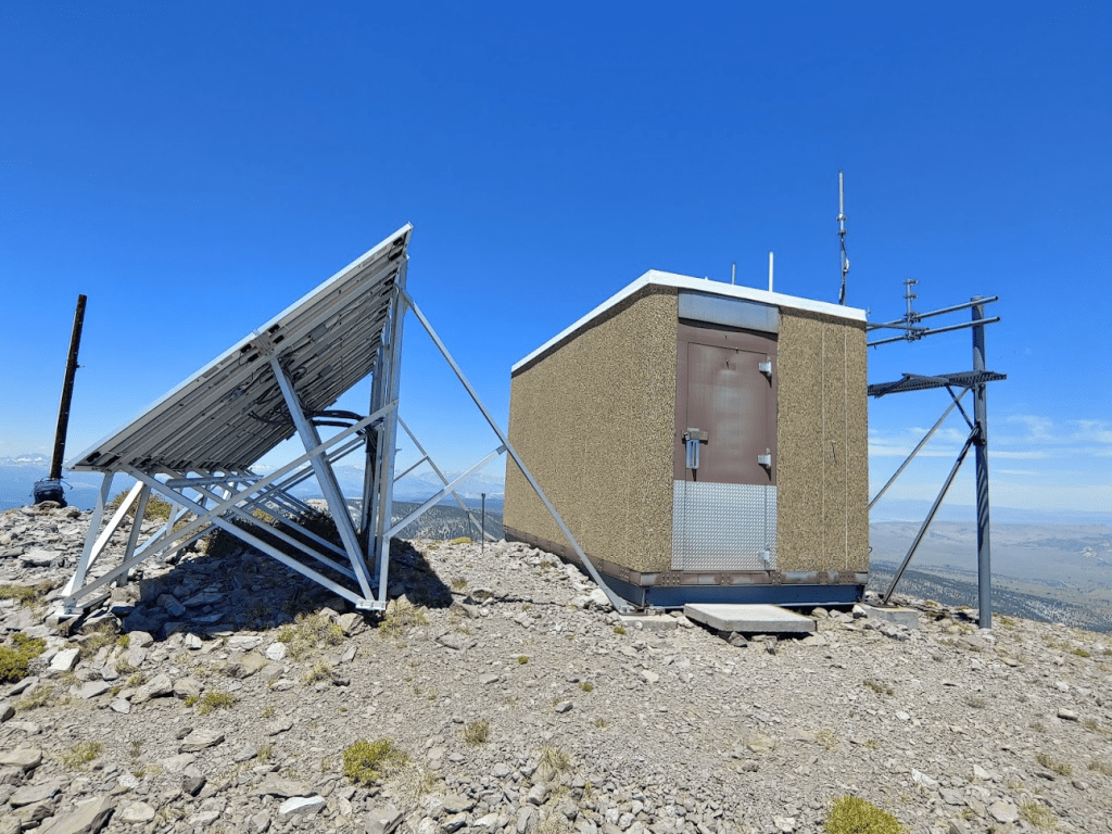
This summit has some solar powered equipment on it.
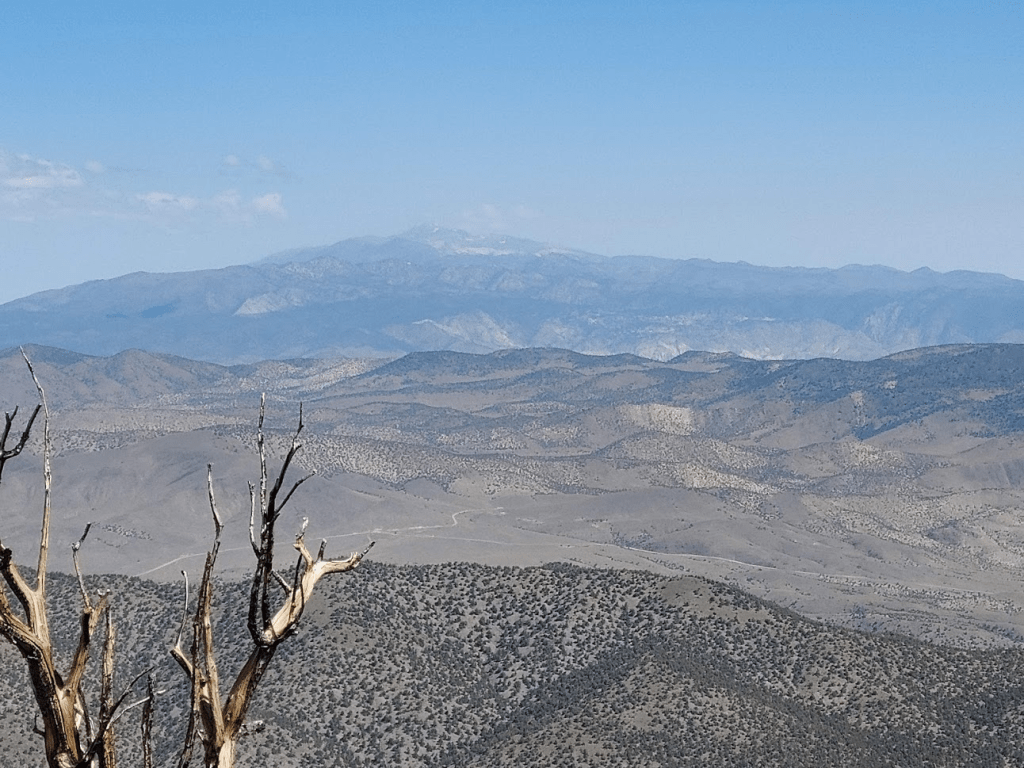
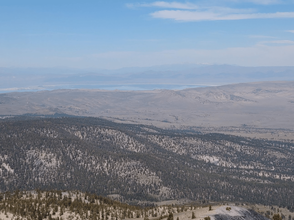
The views were very similar to the higher south summit. The one advantage of the north summit is a decent view of Mono Lake far to the north. Mount Patterson could be seen beyond it (too hazy to show up in the picture).
After a short break, it was finally time to descend back to the car. It had been a long day already with a lot of ups and downs, so my legs were really hurting. I had read that there was a nice use trail leading from Sawmill Meadow up to Glass Mountain, so I intended to find it and hike down that way. I didn’t have the energy to hike back to Glass Mountain though, so I decided to cut directly to the east and hoped to pick up the trail somewhere along the way.
After a short way I could see the trail on the opposite slope in the distance.

I had to descend into a gully and climb back out of it to reach the trail. Even this small bit of climbing was tough for me at this point. After climbing out of the gully, the trail was easy to find.
The trail was a bit hard to follow at first, but eventually I was cruising down the mountain. The trail was very steep, so I had to watch my step.
The trail eventually widens into what appeared to be an old jeep trail near the end.
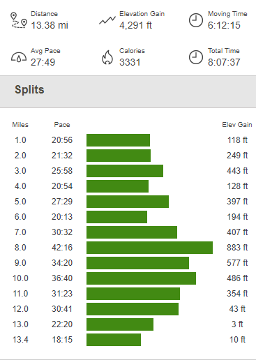
Eventually I reached the road once more. I then had to walk about a half mile along the road to get back to Sawmill Meadow. I reached the car at 1:18pm. Totals for this hike were 13.38 miles, 4291 feet elevation gain, and 8:07:37 total time.

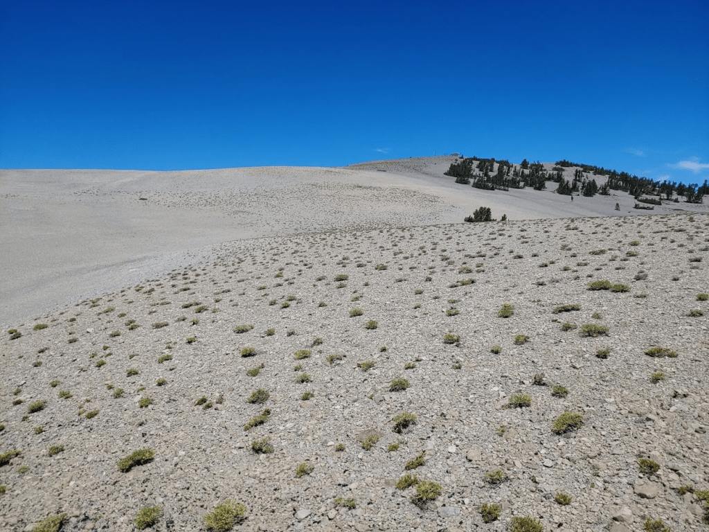
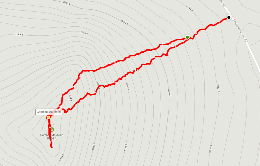
It was still pretty early in the day. I knew I wanted to save my energy for the next day, so I was glad I had a lot of driving to do. My plan for the next day was to climb White Mountain Peak, so I intended to drive all the way to the trailhead while perhaps picking up another minor peak or 2 along the way. I took Sawmill Meadows Road all the way back to Highway 120, which I think was a little shorter than taking McGee Canyon Road. I drove all the way back to Big Pine where I filled up with gas. From Big Pine, I drove 13 miles on State Route 168 to Westgard Pass. Westgard Pass is the highpoint along SR 168 and is generally considered to be the dividing point between the White and Inyo Mountains. From there I drove 10 miles north on White Mountain Road to the Ancient Bristlecone Pine Forest Visitor Center. Bristlecone pines are the oldest living things on the planet, with some trees estimated at over 4000 years old. They only grow in the high desert mountains of Nevada, Utah, and Eastern California. They are well adapted to the harsh environments found at higher elevations and encounter little competition since not much else can grow so high up. The difficult conditions cause them to grow slowly which is how they attain their great age. I stopped at the visitor center to look around. The visitor center itself was closed but I paused to look through some of the exhibits that they have. I actually had been up here once before. I drove all the way here the day before I climbed Mount Whitney 2 years ago. I was trying to stay off my legs the day before such a long hike, so I did a driving tour through the White Mountains to view the bristlecone pines. Anyway, I continued up White Mountain Road after looking around for about 20 minutes. The road turns to gravel after the visitor center but is well graded and drivable for just about any car. From here it’s about 12 miles to Patriarch Grove, which contains the largest bristlecone pine in the world, and then another 4 miles to a locked gate which is the trailhead for White Mountain Peak. The drive beyond this point is really spectacular, as you alternate between rocky hillsides and stands of bristlecone pines. At 10 miles from the visitor center I pulled off to the side of the road to do a quick climb of 11,560 foot Campito Mountain. I started hiking at 5:10pm from around 10,800 feet.
This hike would be less than a mile one way and under 1000 feet, so it would be a perfect quick hike this late in the day. Navigation was simple – this was a basic “climb until you hit the top” kind of hike. The grassy slopes turned rocky about halfway up.

I climbed over a false summit near the top. The true summit was close.
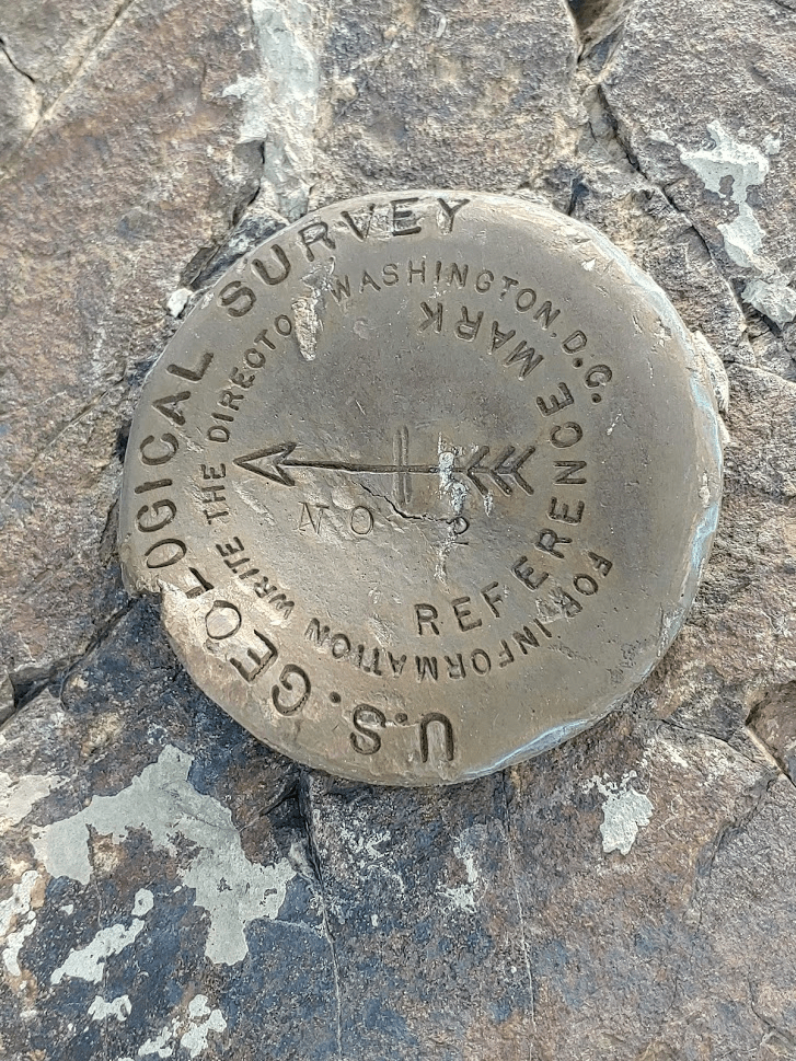
I reached the summit after not too much effort. I signed the register, which I noted had been placed in 2018 by Richard Carey, a prolific San Diego based hiker. I also noted the previous entry from June 10th indicated that they had climbed up a canyon on the west side starting from 4750 feet. I located 2 reference markers but no benchmark.
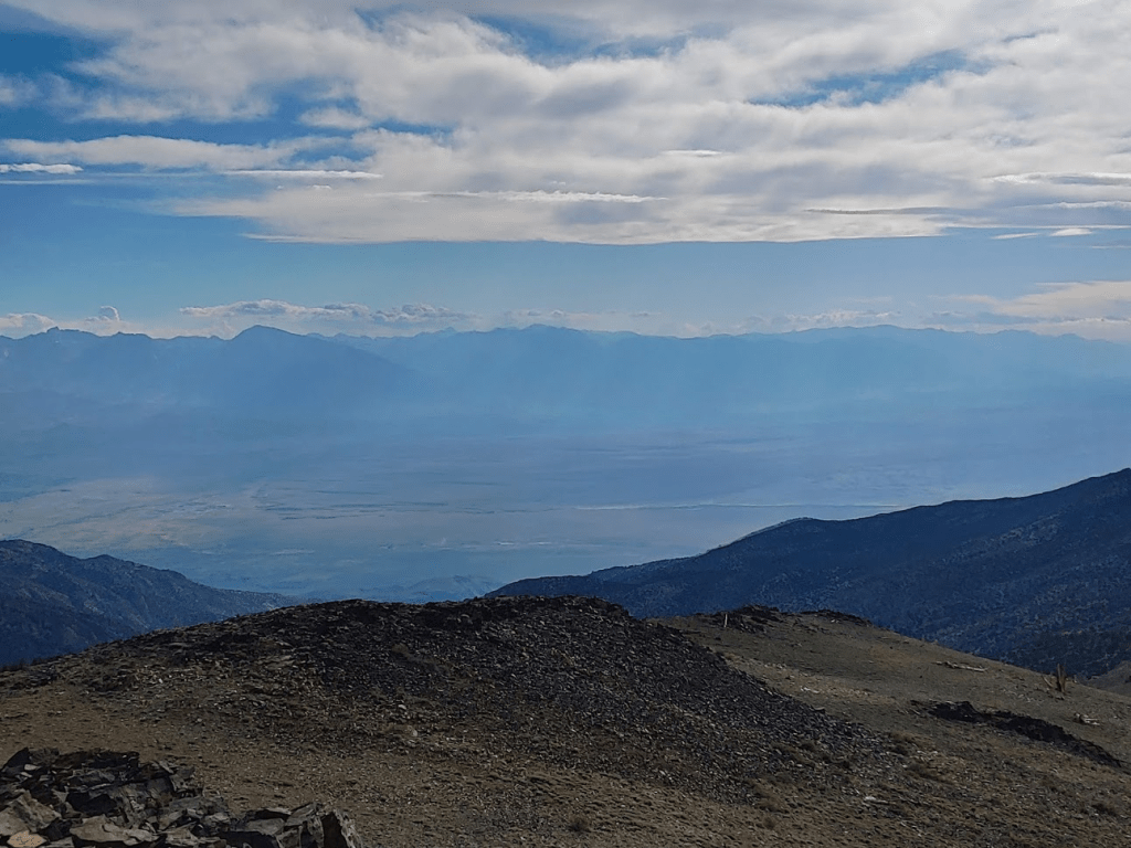
The wind was so strong at the summit I could barely stand up, so I had to shelter on the east side of the peak. The skies had clouded up since the morning, but the view of the Sierras was still nice.
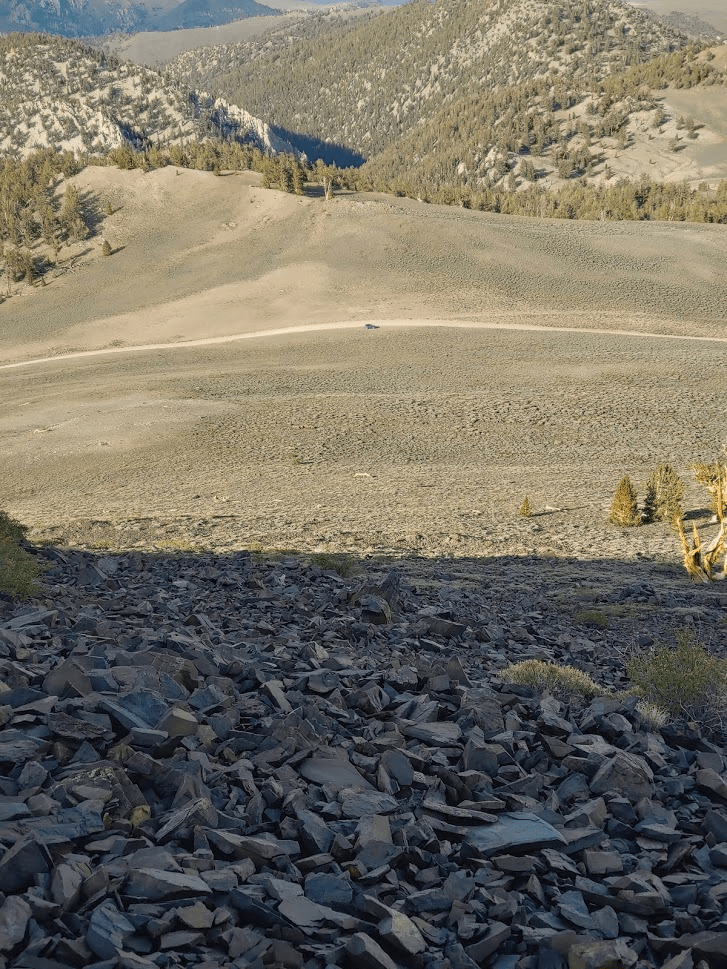
Looking north, I could see White Mountain Road winding its way up to Patriarch Grove and the White Mountain Peak trailhead.

To the southeast I could see Blanco Mountain (left) and County Line Hill (Right). County Line Hill is so named because the Inyo/Mono county line passes right through it.

I started descending after a nice break on top. I could see my car below.
I reached the car once more at 6:29pm. This short hike was just 1.22 miles, 689 feet elevation gain, and 1:16:27 total time.

From here I still had to drive about 6 miles to the trailhead. I reached the trailhead around 7pm. There were perhaps 7-8 other vehicles already parked there, most likely to spend the night to get an early start, just like me. The elevation here is 11,646 feet so it was a very cold night.

Day 4
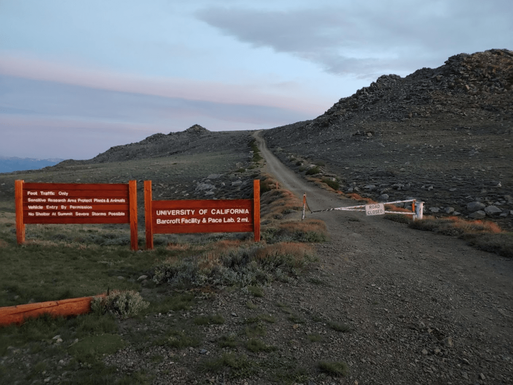
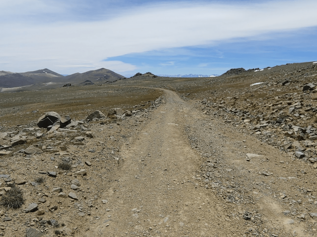
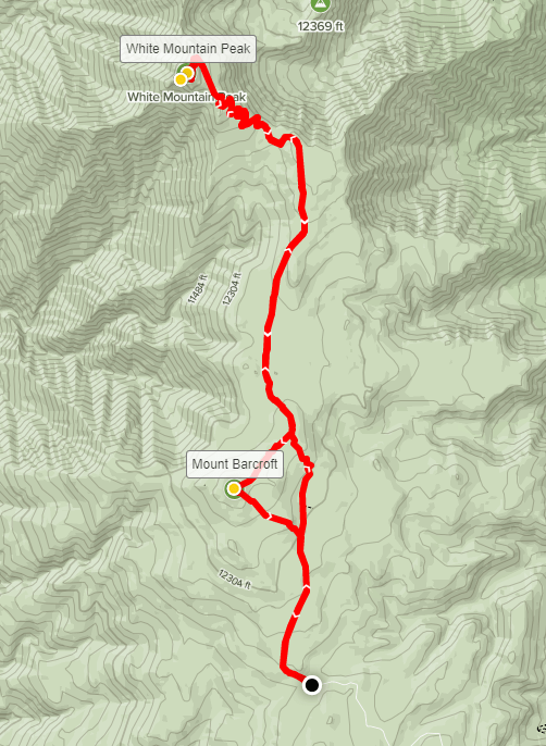
White Mountain Peak is the 3rd highest mountain in California at 14,246 feet. It trails only Mount Whitney and Mount Williamson. It is the highest desert peak in the United States and one of only three 14ers in the lower 48 that is not in the Rocky Mountains or Sierra Nevadas (the other 2 are Mount Rainier in Washington state and Mount Shasta in Northern California). Despite these superlatives, the route to the summit is relatively easy. A jeep road, which starts from a locked gate at 11,646 feet, winds its way gradually to the summit in about 7.5 miles. Because of this, White Mountain Peak is regarded as the easiest 14er in California (many climb it as an acclimatization hike for Mount Whitney). I started hiking up the road at 5:14am Sunday morning.
It was very cold so early in the morning, so I bundled up with multiple layers and a hat. There was some wind, but it wasn’t too bad. I thought I was probably the first one on the trail this morning. I did observe some headlamps moving around 2am when I woke up to use the bathroom, but I was unsure if they were getting started or just going to the bathroom as I was.
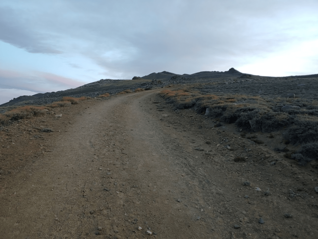
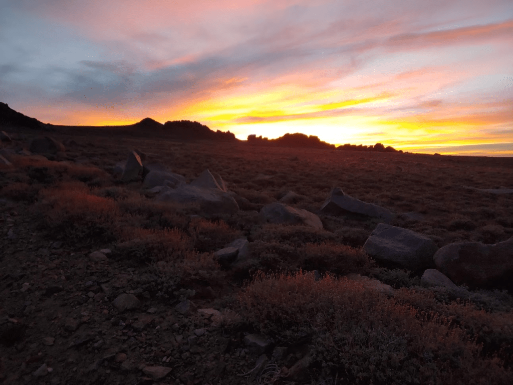
The road initially heads northwest from the locked gate but makes a 90 degree turn to the northeast after a short distance. The eastern sky began to light up with the rising sun.
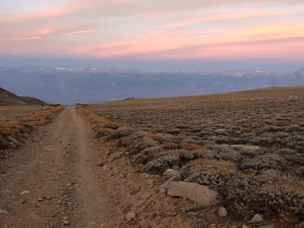
The Sierras were visible off to the west. The Owens Valley, which divides the White Mountain from the Sierras, is known as the deepest valley in the contiguous United States. The valley floor is around 4000 feet with 14,000 foot peaks on either side.
At 1.4 miles I was passed by 2 runners heading up the road. I was impressed – running at such high elevations can’t be easy. They were both dressed in shorts and didn’t appear to have much gear on them.

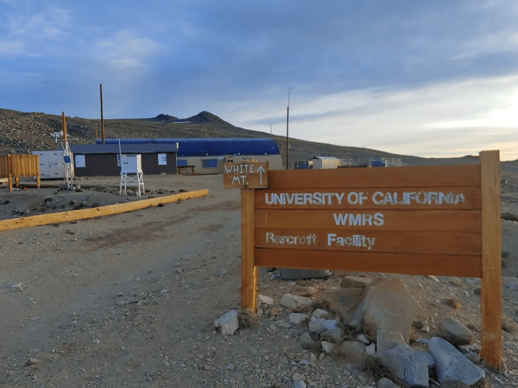
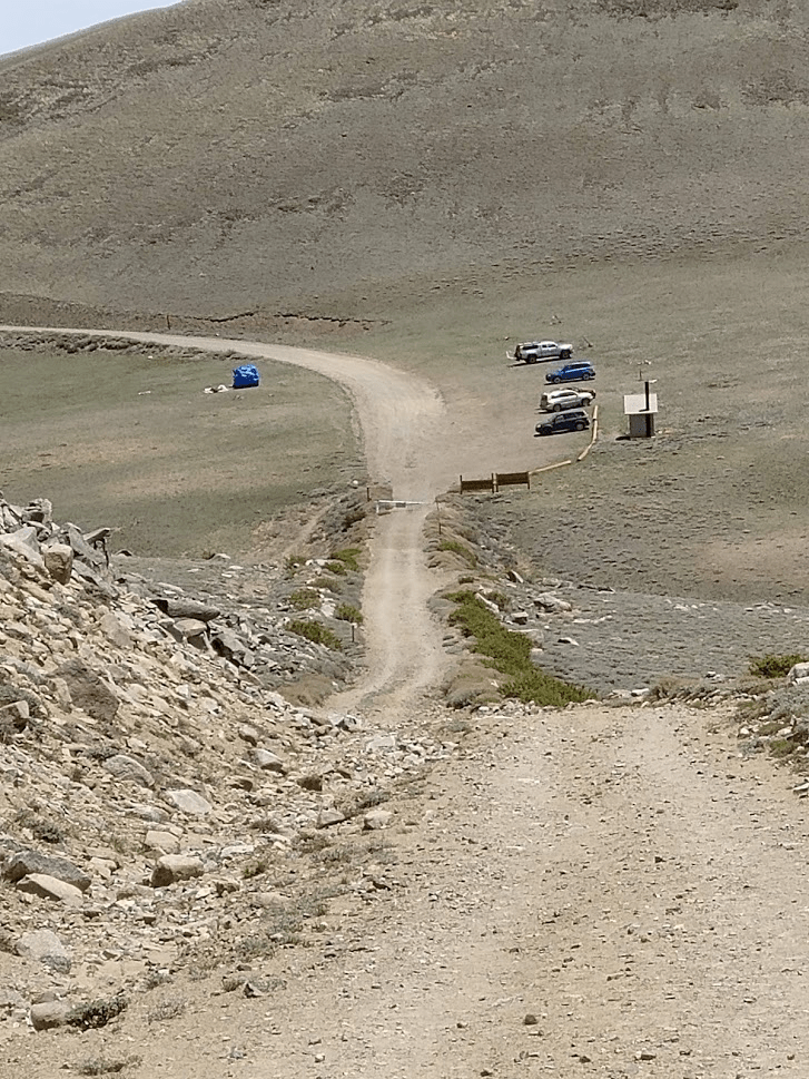
At 1.97 miles I reached the Barcroft Facility at 12,403 feet. The Barcroft Facility is a research lab operated by the University of California that studies the effects of high elevation on physiology. I didn’t see any vehicles parked at the facility or any other signs of the lab being in use currently. Apparently, they open the locked gate at the trailhead once a year to allow people to drive up to the facility to cut 4 miles off the hike.
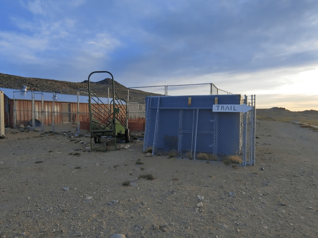
There were signs indicating which way to proceed through the facility.
The road gets steeper and quite a bit rougher after the Barcroft facility. I definitely could have driven my car up to this point, but you would need a capable 4WD vehicle to continue onward. At 2.55 miles I passed some more equipment.

I got my first good look at White Mountain Peak in the distance to the north.
The road descends about 300 feet over the next mile or so. The wind really started to pick up.
At 3.96 miles, I passed 3 hikers on their way back down. They apparently had started at 2am (those were the headlamps I had seen) with the idea of catching the sunrise on the summit. They said they made it nearly to the top but had to turn around due to extreme winds. They warned me the wind only gets worse the higher you go. I wondered how the 2 runners ahead of me were going to do.

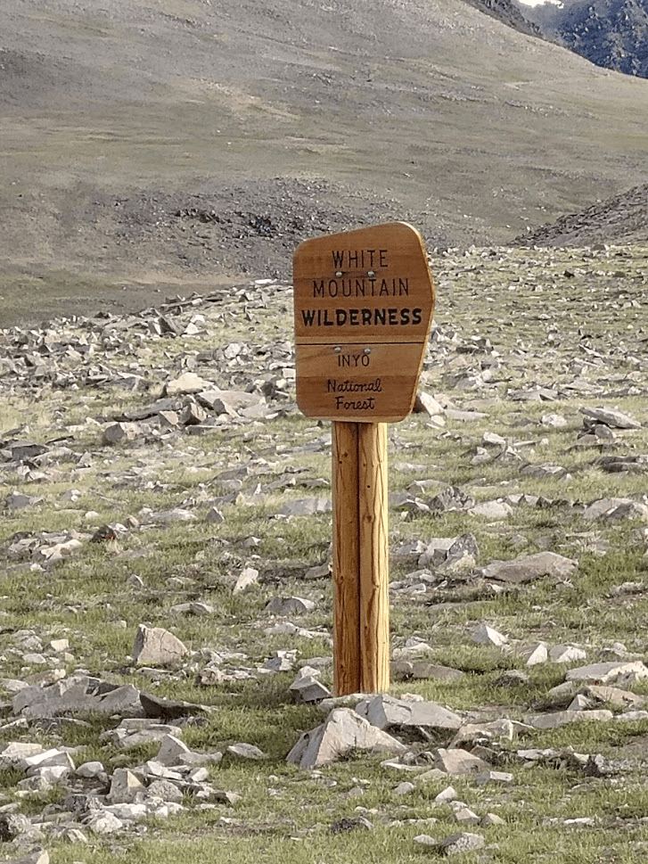
At 4.4 miles I passed the wilderness sign.
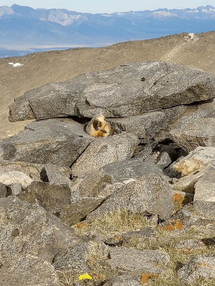
I started seeing marmots all over the place. This rather large marmot was scratching himself with his hind leg like a dog. I got a pretty funny video of him doing that.
At 5.2 miles the road reaches a small crest.
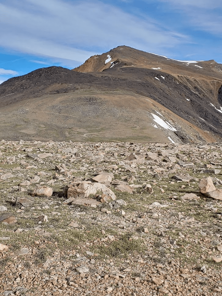
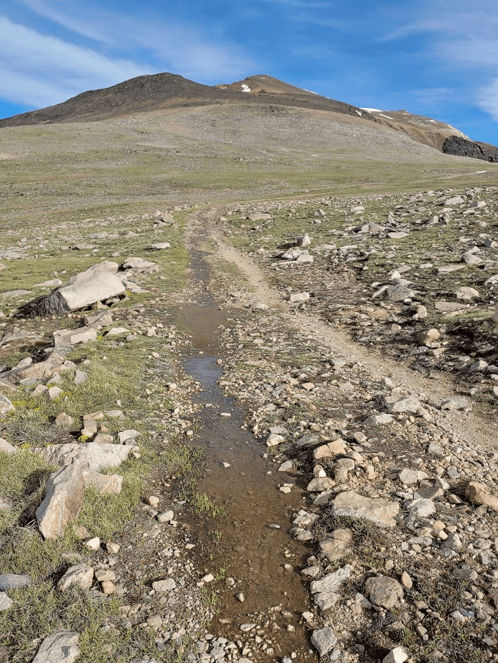
The road then steeply descends about 200 feet. At 5.52 miles I reached the low point before the final climb at 12,941 feet. This portion of road was wet from snow melt.
From the low point, the road switchbacks steeply up the south face, covering about 1300 feet in 2 miles.

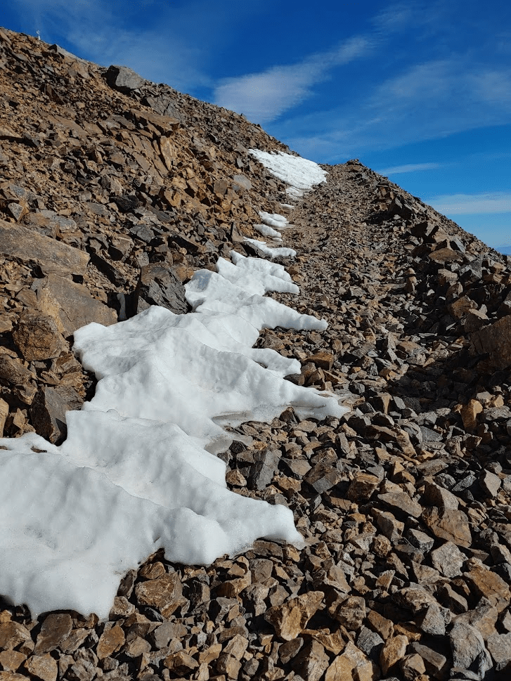
I started to encounter small patches of snow on the road.
The small grasses disappeared around 13,500 feet.

The wind was pretty insane by this point. I was glad to be walking on a wide road and not some narrow exposed trail.
The top was looking close!
At 7.06 miles the 2 runners from before passed me on their way down. They warned of a large snowfield a short distance ahead, but they said they found a ducked use trail that could be used to bypass the snow.

Shortly after passing the runners I found the vague trail they were talking about leading up and to the left. I followed the trail upward until it rejoined the road at 7.17 miles.
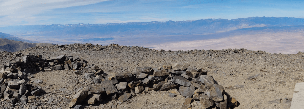
Just before reaching the top, I left the road to climb down a short way to reach the wilderness high point. This is one of those where the actual peak is not included within the wilderness boundary due to the road leading to the top, so the wilderness highpoint is an arbitrary point a short distance away.
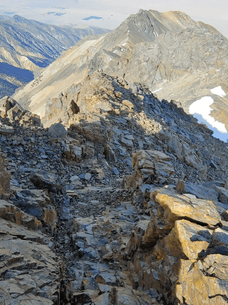
I climbed carefully down the ridge southwest of the summit. This would have been some fun scrambling, but the extreme wind made it a little scary. I reached the wilderness highpoint at 7.58 miles. The elevation is 14,080 feet. There is no cairn or register marking the spot, so I just stopped when the GPS said I was there.
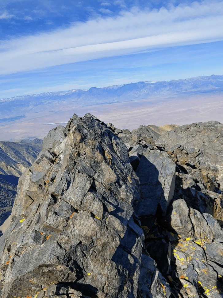
Not wanting to linger in such a precarious position, I quickly scrambled back up the ridge to the summit. I finally reached the top at 8:57am at the 7.68 mile mark!

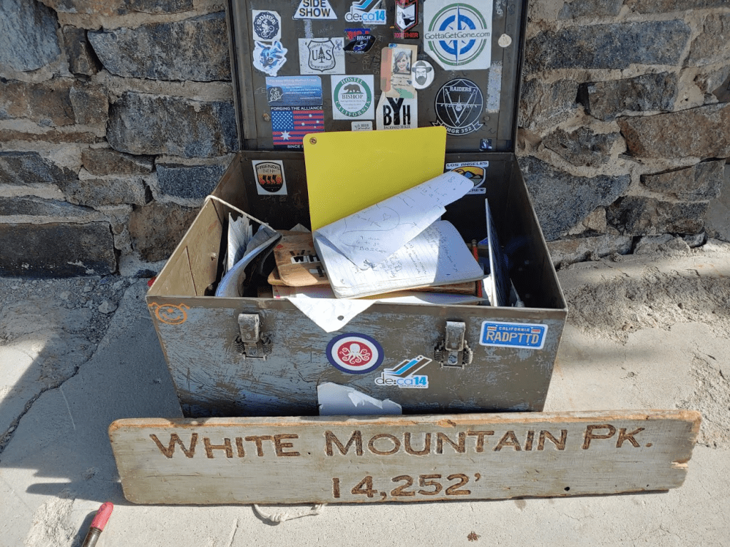
There is a small cabin on the summit which is also operated by the University of California as part of their high altitude research. I normally dislike such intrusions in the mountains, but I was thankful it was there since it provided some protection from the wind.

There was a very large chest filled to the brim with register books. I signed the newest one which had been placed in October 2018. I was the 3rd person to sign in that day (after the 2 runners).
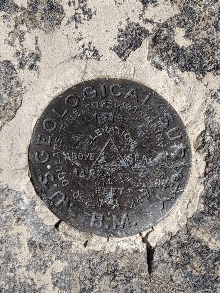
I located a benchmark on the other side of the cabin. I also found some other kind of marker on the near side.
I spent a long time admiring the views, although it was difficult to enjoy the eastern views since that side was completely exposed to the wind. Looking north I could see numerous 13,000 foot peaks stretching along the White Mountains crest, including Mount Dubois, Montgomery Peak, and Boundary Peak.

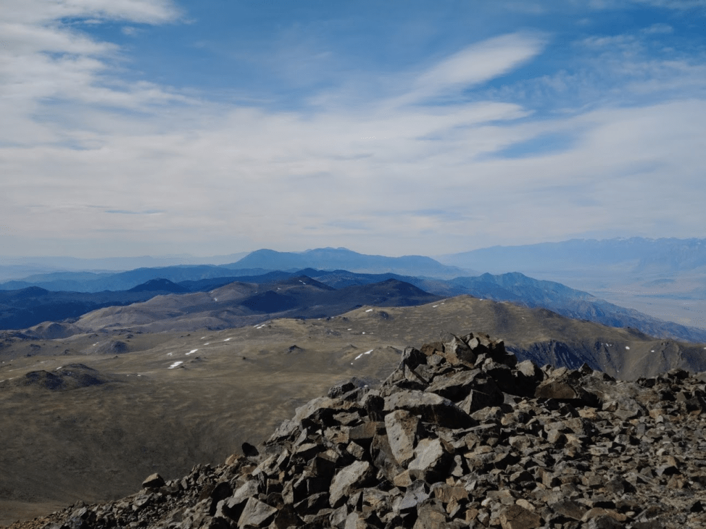
Looking west I could see the long crest of the Sierra Nevadas. It was interesting to be able to look down on the Sierras. It actually made them look less spectacular.
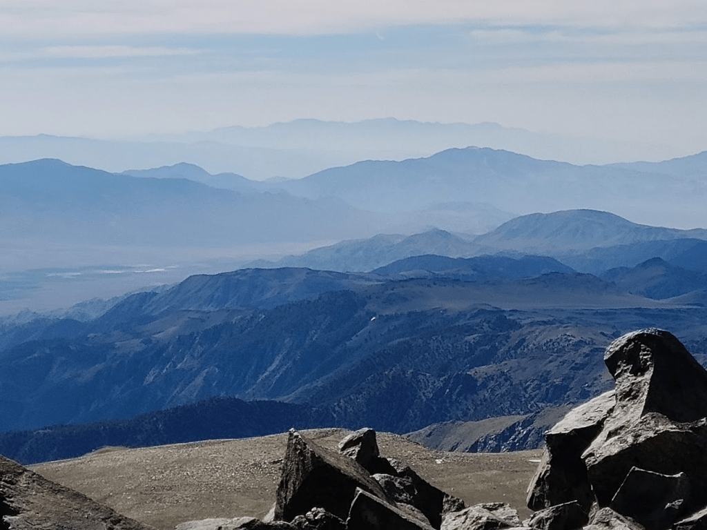
Looking east I could see countless mountain ranges stretching for miles into the Nevada desert.
Looking south I could see the relatively gently southern slopes of the White Mountains.
It was dizzying to look at the ridges leading down into the desert 10,000 feet below.

I stayed on the summit for about 50 minutes before the wind and cold really started to get to me. I began the descent at 9:48am.
I walked right up to the large snowfield below the summit to get some pictures.

After playing in the snow for a minute, I climbed down the rocky slope rather than cross the snowfield. I soon regained the road again.

I passed 2 more hikers making their way up the switchbacks. They looked cold and tired. At 9.96 miles I reached the low point at the bottom of the switchbacks.
The next few miles were rather easy. I was still cold, and the wind was still howling, but I felt good.
I passed a few more groups of hikers on their way up over the next couple miles. They were mostly pairs or solo hikers. At 12.92 miles I left the road to make my final detour of the day. About ¾ of a mile directly west of the Barcroft Facility is a 13, 040 foot peak called Mount Barcroft. It’s not an especially prominent peak but it is included in Zdon’s book, so I decided to climb it quickly on my way back.
Mount Barcroft is only a 300 foot climb from the road. I started off walking through short grass, but the terrain became much rockier as I neared the summit.

At 13.71 miles I reached the summit at 12:12pm! I signed the register from 2007 and noted there were a few entries from today. This peak, while much less popular than White Mountain Peak, still sees a decent amount of traffic. The view of White Mountain Peak to the north was spectacular.
I took a nice panorama of the Sierras.
The views weren’t much different than on White Mountain Peak, so I began descending down to the road after a 15 minute break.
At 14.56 miles I reached the road again.
From there it was an easy walk back to the car.
I reached the car again at 1:25pm, exhausted but triumphant. This hike totaled 16.13 miles, 3901 feet elevation gain, and 8:10:26 total time.

I decided to make the long drive home after this hike. I had Monday off work and had been planning on climbing Mount Dubois. I’m used to planning the longest/most difficult hike for the final day of a trip, but I realized that doesn’t work so well when I’m so far away from home. A 10 hour hike followed by an 8 hour drive would be a very long day. Furthermore, I was very exhausted after such a full 3 days, so I thought it best to make it home Sunday night to give myself a rest day on Monday.
