Whipple Mountains High Point
For the second weekend in a row, I decided to head out to the desert to bag some more peaks. Last weekend, I had gone to Anza Borrego to climb Indianhead and a few other summits on the San Diego 100 Peaks List. This weekend, I chose to travel a bit further to southeastern San Bernardino County to attempt some DPS peaks in that area. My primary goal for Saturday would be Whipple Mountains High Point (4130 feet). I left San Diego right after work on Friday afternoon to drive as close as I could to the trailhead for Whipple. Following the DPS directions, I turned east onto paved Havasu Lake Road from US-95. I went just under 10 miles to a dirt power line road heading southeast. I drove in a little ways and decided to call it a night.
I woke up early the next day to finish the drive. I drove a bit further down the power line road and then turned right onto another road heading south. This road was pretty rough, so I had to go slow. There were sections where the center was pretty high which made me nervous. After a few miles I turned southeast on War Eagle Mine Road. This road starts out very rough as it navigates through a wash almost immediately. I decided I had had enough so I parked there. I could have driven the remaining 1.5 miles to the trailhead, but I’m a nervous driver and I definitely don’t mind a little extra hiking. I began hiking towards Whipple at 6:14am from 1466 feet above sea level.

It was a little chilly first thing in the morning, but not bad at all for February. At 1.5 miles I reached the War Eagle No 1 Mine, which is the official DPS trailhead. There were some old cars and other junk scattered around the area.

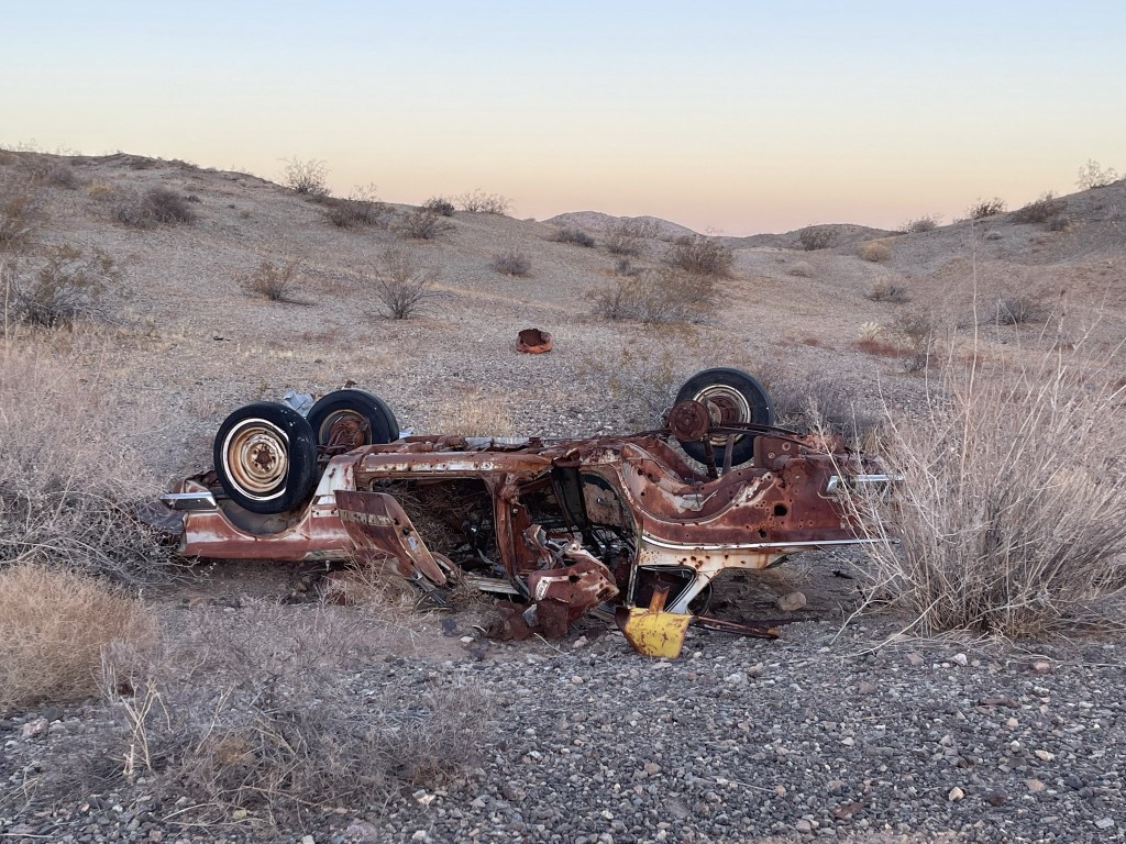
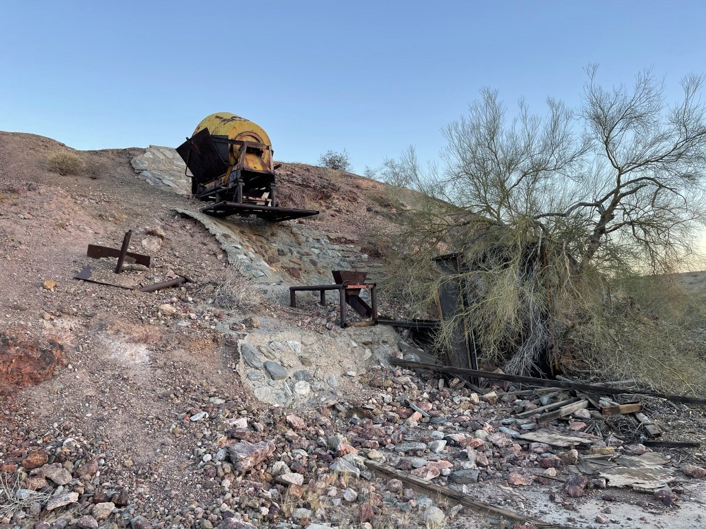
I generally don’t like seeing junk in the desert and other wilderness areas, but old mining relics are kind of cool. It’s fun to think about the history behind these places. I proceeded past the mine and into a wash heading south towards the mountain range.

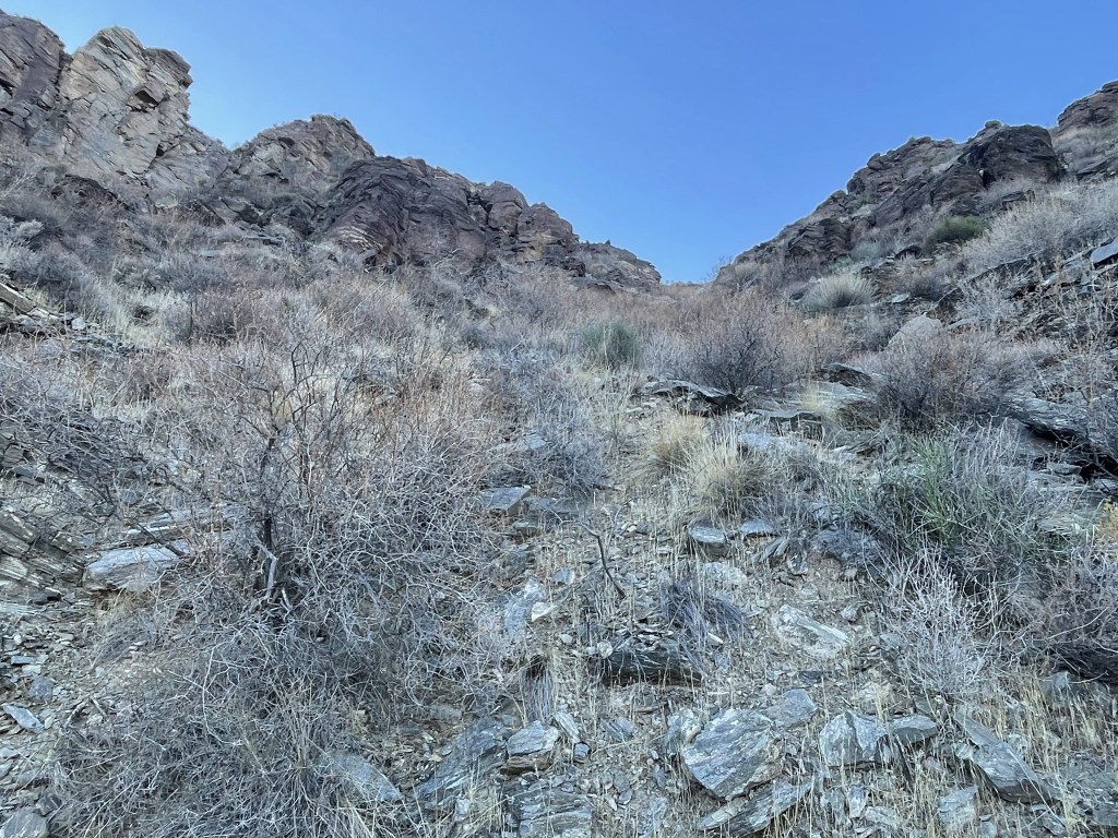
At 2 miles I reached a fork in the wash and went right. I then climbed out of the wash and hiked across desert pavement for a bit.
I started to notice burro poop all over the place. Wild burros (donkeys) are pretty common throughout the California deserts, and I had read that there a lot of them in the Whipple Mountains, so I was not surprised. I kept my eyes peeled in hopes of seeing one or two. I noticed I was heading too far east so I angled back the other way and dropped into the wash once again. I hiked south and then curved to the southeast as I entered the mountains.

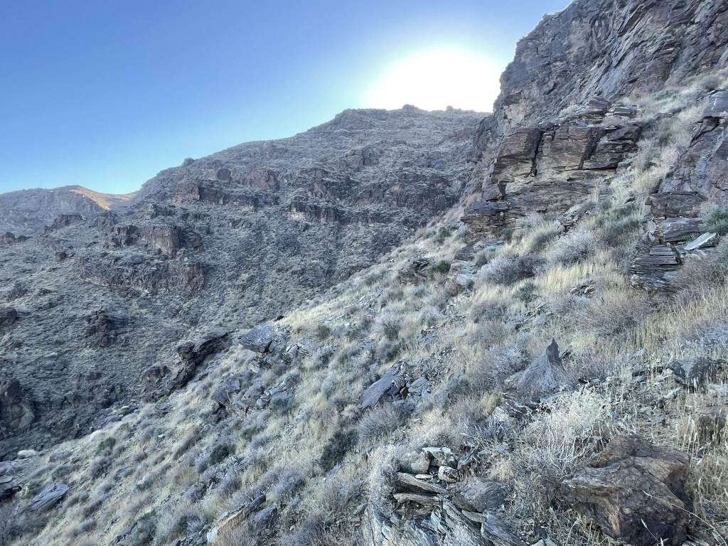
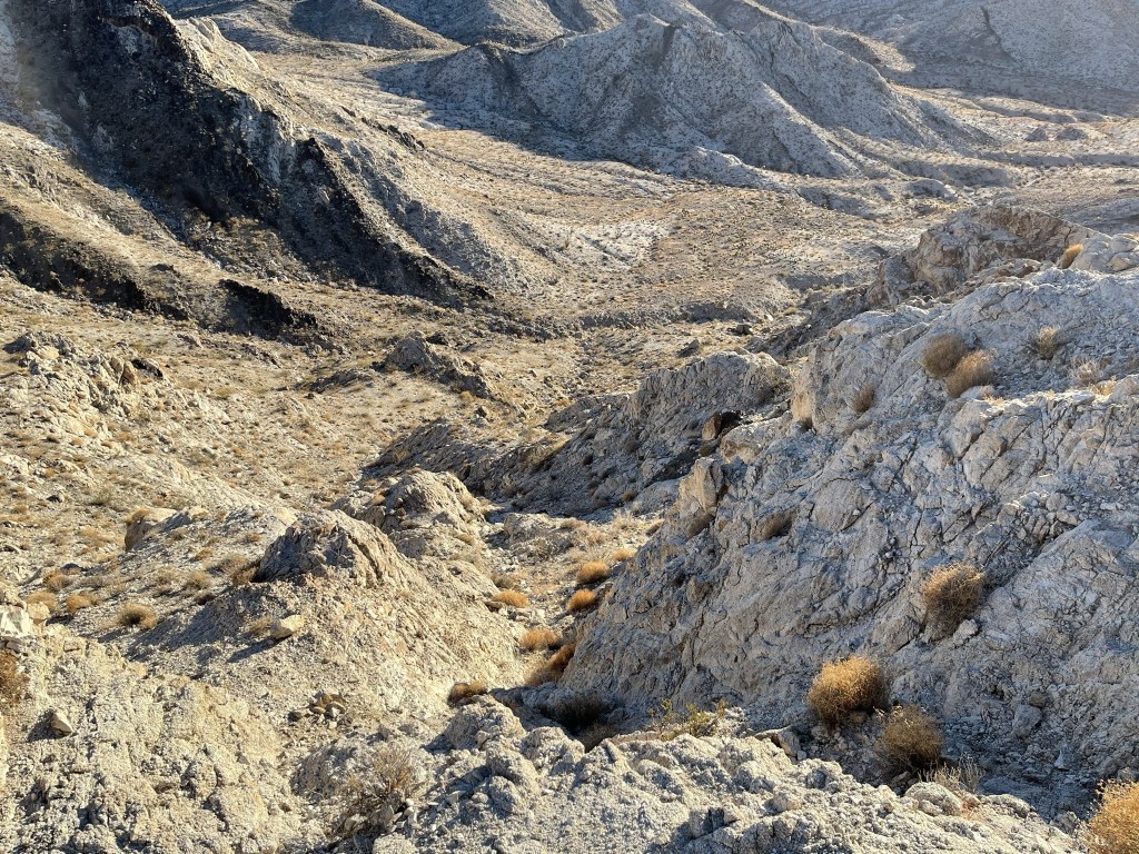
I found a vague use trail as the wash became narrower and steeper. I wondered if it was actually a burro trail (still tons of poop everywhere).
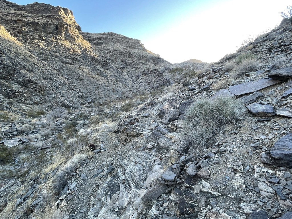
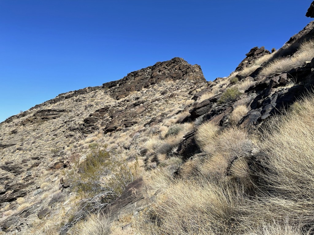
There was one steep dry fall in the wash, but I was able to follow the trail above it on the right side. At 5.6 miles I reached the top of the wash at a small plateau. I traversed a steep hillside to the southeast.
I reached a gully on the other side that I began to climb up. This was the steepest and most difficult part of the hike.
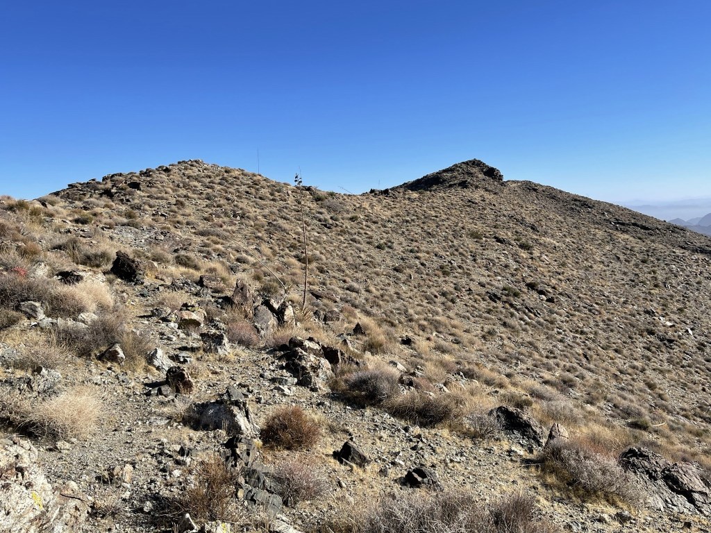
At 6 miles I reached the top of the gully. I turned northeast to head to the summit.

I went up and over a false summit. The true summit was very close.
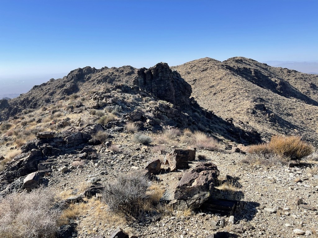
I climbed up to the summit and reached the top at 9:03am at the 6.5 mile mark! It was windy on the summit, so I had to put my jacket back on.
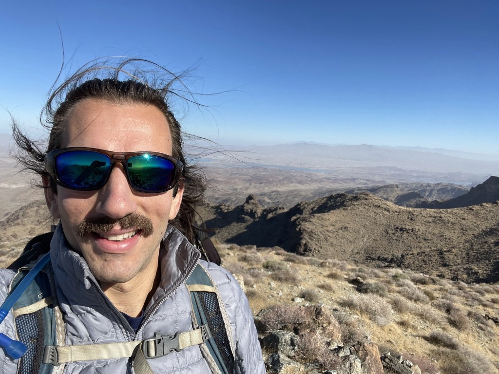
I signed the register which was placed in 2015. The previous entry was from January 5th, just over one month prior. I located 2 benchmarks, one of which was marked “Axtell.” I did not locate any reference markers, but I found 2 pins where they used to be.


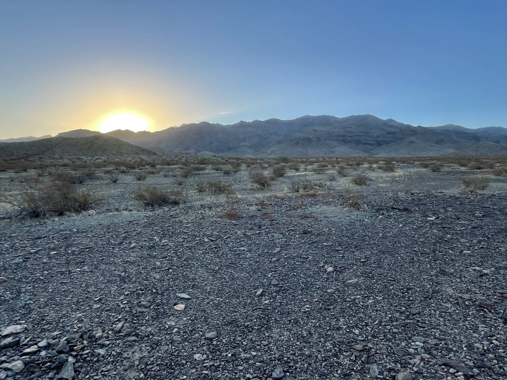
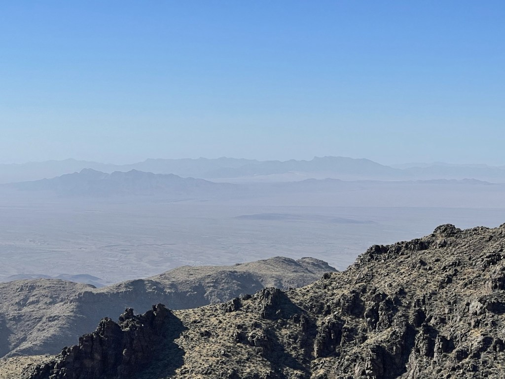
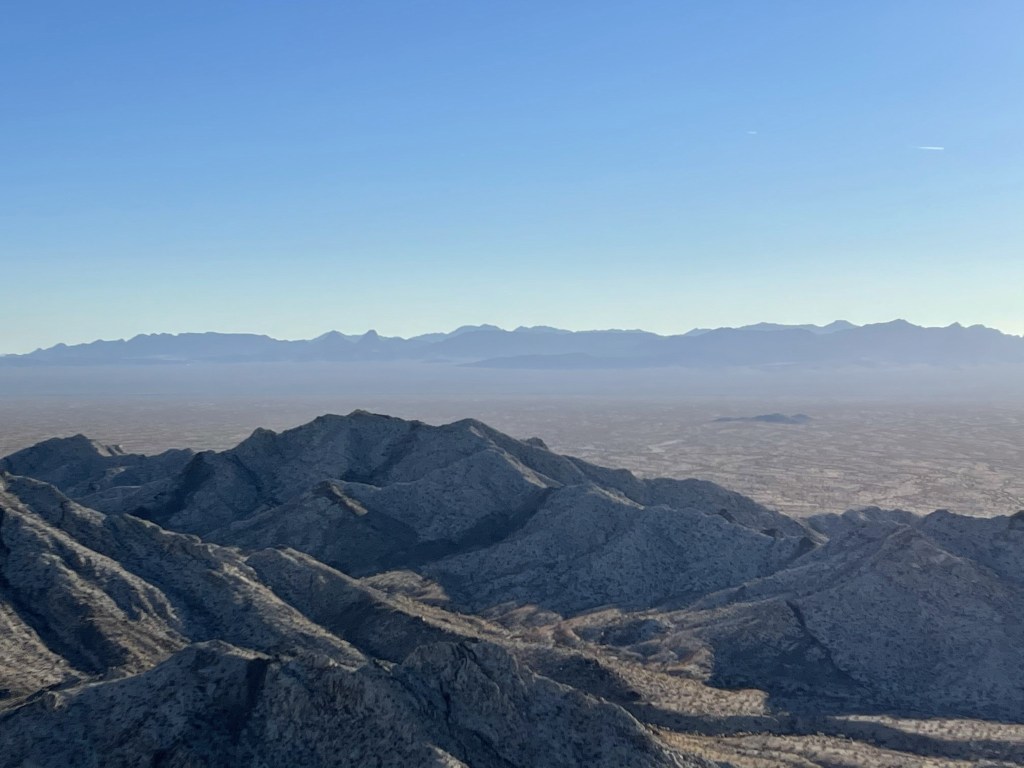
Unfortunately, it was very hazy, so the views were disappointing. I was able to pick out many of the nearby mountain ranges, but my pictures didn’t turn out very good.
I began descending after a lengthy break.
I curved around the upper ridge and descended the steep gully I came up earlier. I then traversed the same hillside from before and reached the small plateau at 7.7 miles. Here I decided to take a different route the rest of the way down. I had ascended DPS Route B up the wash, and I planned to descend Route C down a ridge. The descent ridge runs parallel to the wash. First, I made a nearly 300 foot ascent to gain the top of the ridge.

This part was tougher than it had looked from below.
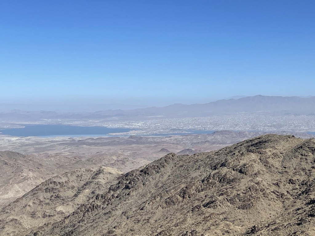
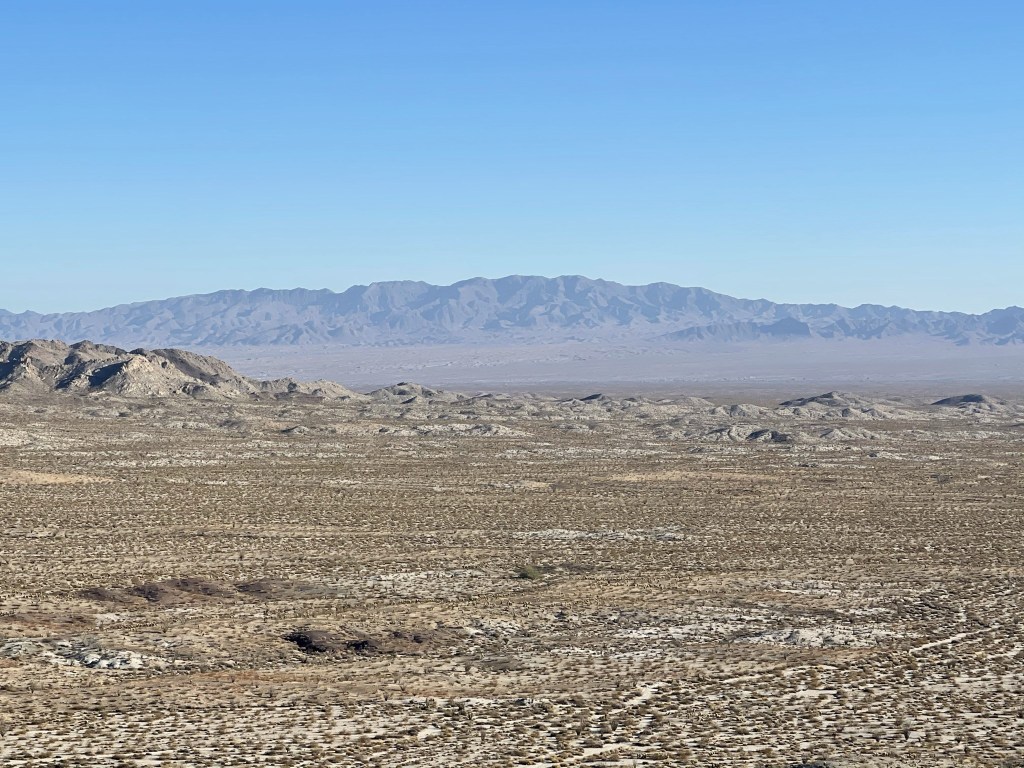
At 8.1 miles I reached Peak 3292 which is the highpoint of the ridge. Here I had an excellent view of Lake Havasu through the haze. Lake Havasu City could be seen on the eastern shore of the lake (in Arizona).
From there, the descent was pretty easy.

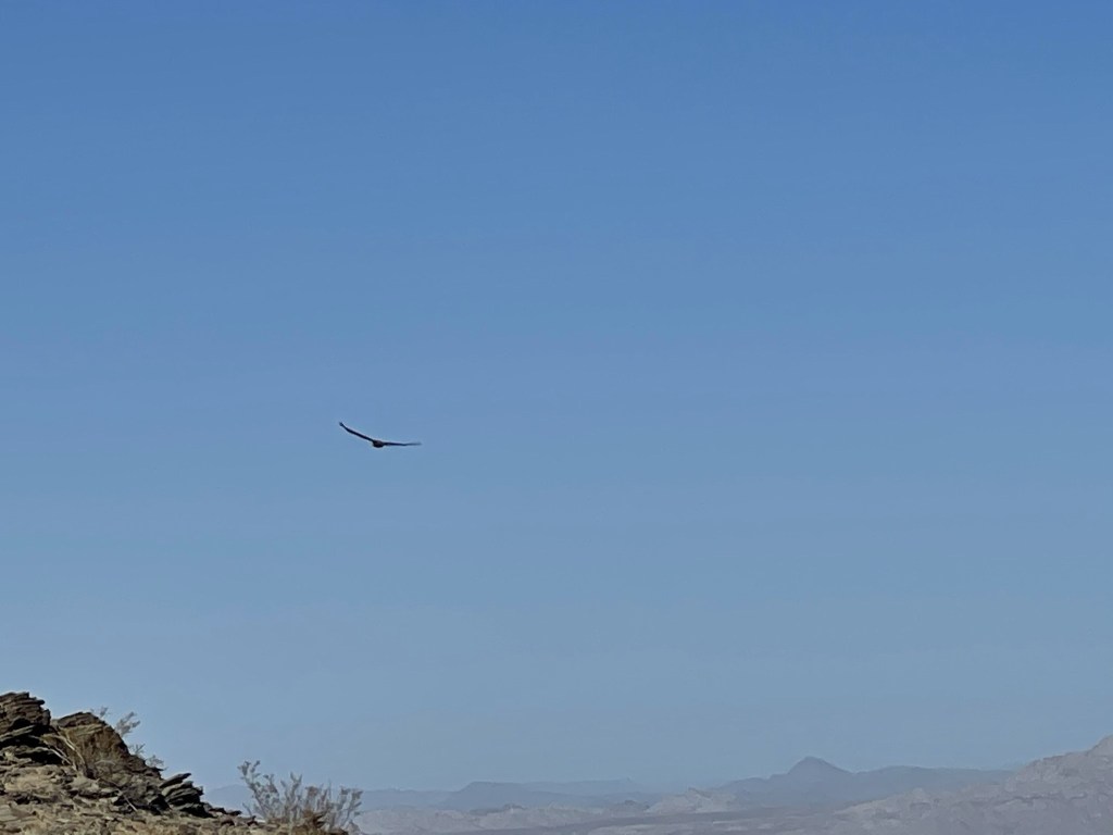
At 9.2 miles I spotted a large bird circling overhead, possibly a hawk.
I descended the remainder of the ridge and reached the desert floor at 10.1 miles. From there, I entered a large shallow wash which I followed all the way back to the mine. I explored the mine a little more before continuing.
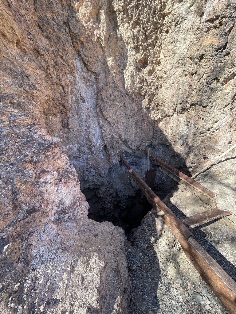
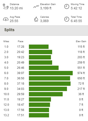
Once past the mine, the rest of the hike was easy road walking. I reached the car at 1pm. This hike totaled 13.2 miles, 3199 feet elevation gain, and 6:45:55 total time.

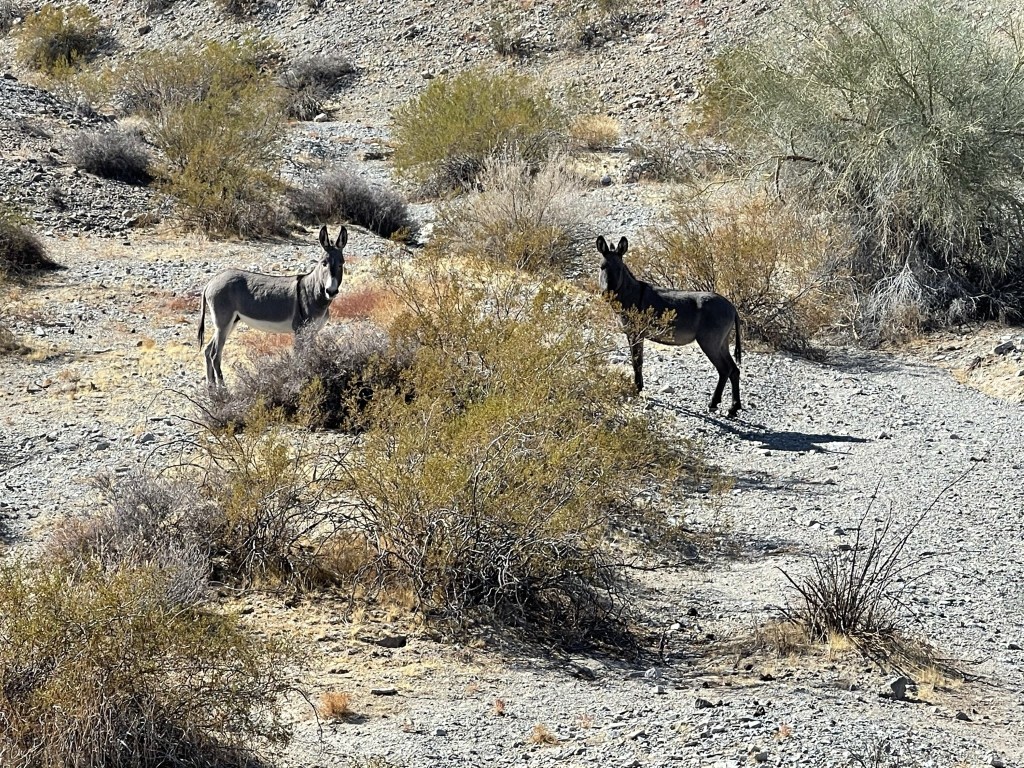
I was a little disappointed I didn’t see any burros during the hike, but then I saw these guys on the drive out!
Sawtooth Range High Point
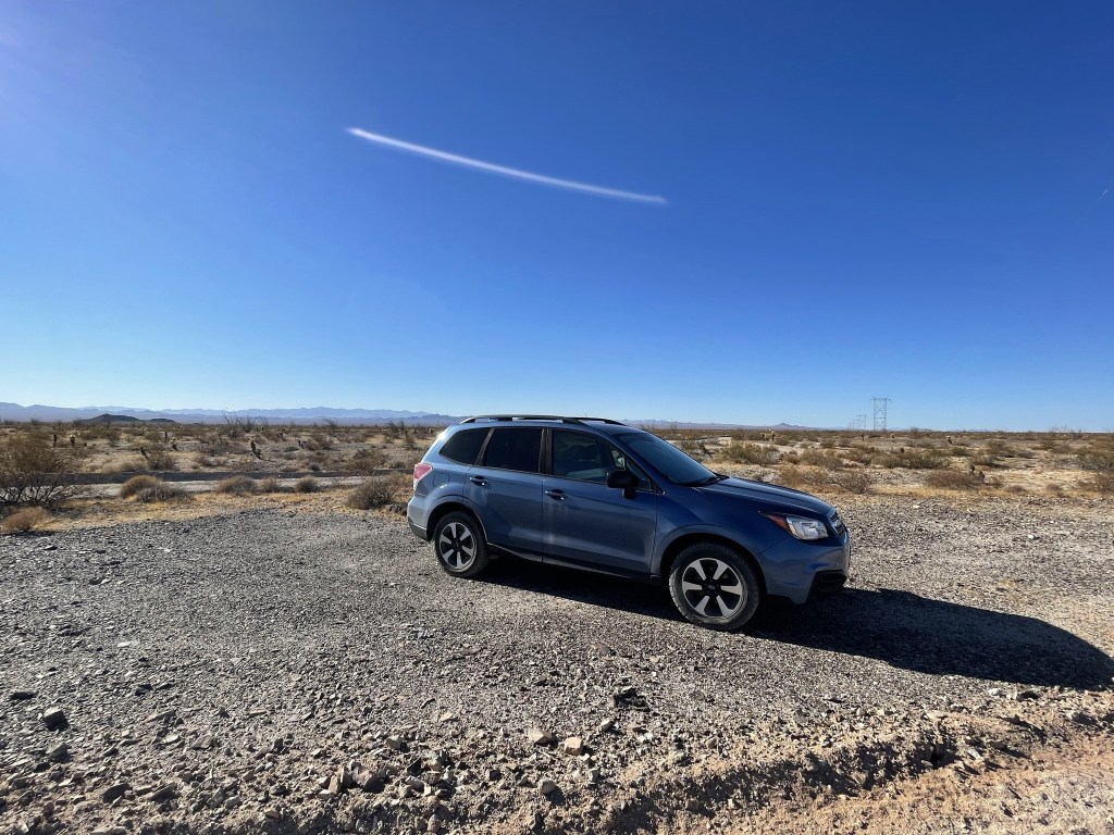
I had been considering climbing nearby Chemehuevi Peak (another DPS peak) in the afternoon, but the morning hike took a little longer than I anticipated, especially with the extra 3 miles of road walking. I settled on climbing Sawtooth Range High Point (2328 feet) instead. The Sawtooth Range is a tiny mountain range southwest of the Chemehuevi Mountains. In fact, I wouldn’t even call it a separate range – it’s really just a few hills separated from the Chemehuevis by a small valley. Anyway, I followed Zdon’s directions and parked along a power line road about 2 miles southeast of US-95. I started this hike at 2:37pm from 1739 feet above sea level.
From the road, it’s actually difficult to tell that the Sawtooths are a separate range since they blend in with the Chemehuevi Mountains directly behind them. If you look closely at the below photo, you can tell there is a smaller range in the foreground with slightly different coloring. The tall peak in the background is DPS listed Chemehuevi Peak.

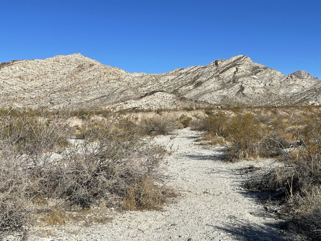
I hiked northeast across open desert while dodging teddy bear cholla.

I crossed a dirt road at 0.8 mile. Soon after that I hiked around a small hill and the summit came into view. There are actually twin summits of nearly equal height. Zdon claims the south summit is higher but Peakbagger lists the north summit as 4 feet higher. Of course, I planned to hit both.
I headed towards the south summit first, reaching the base at 1.8 miles. It would be about a 400 foot climb from here up slopes of rather loose rock.

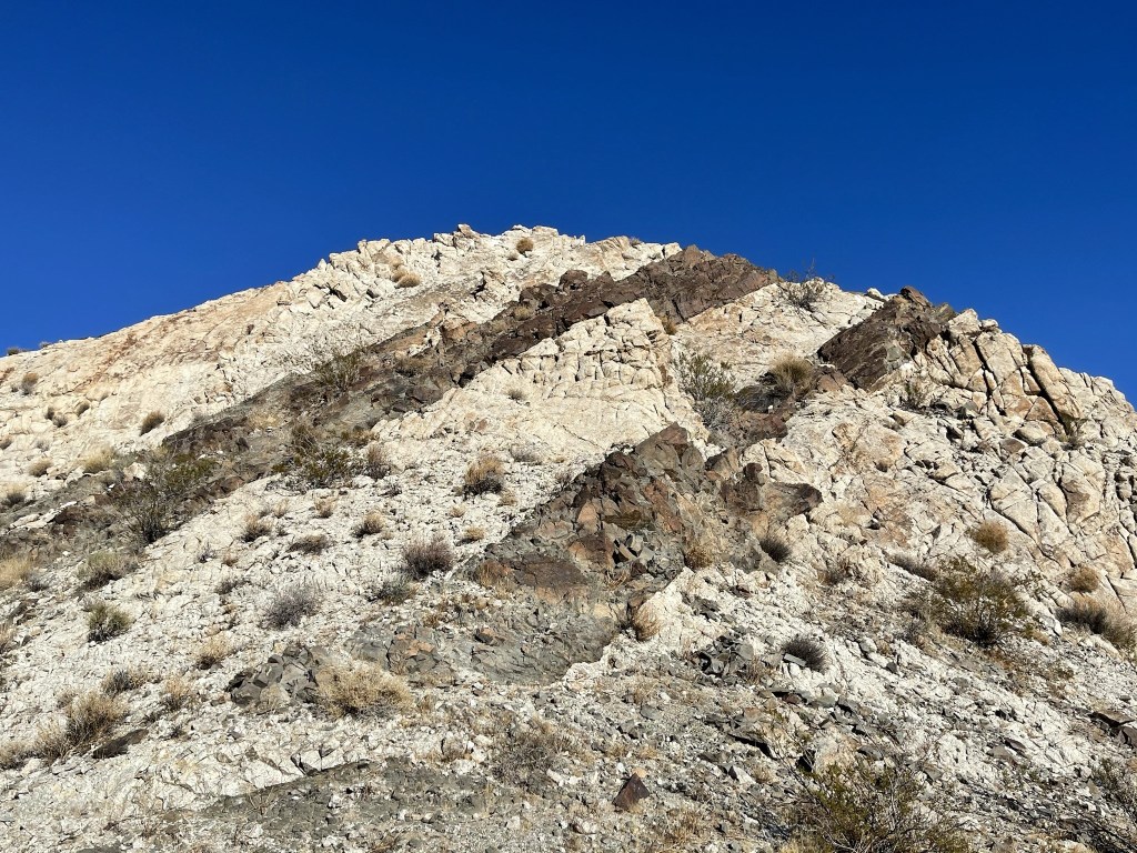
As I neared the top, I noticed the rock formations were striped.
I reached the top at 3:27pm at 2 miles! I had an excellent view of Chemehuevi.

The haze had cleared up quite a bit since the morning. I had a great view of Whipple to the south.
I signed the register which dated back to 1998. I was surprised to note that there were 3 entries the previous day (I assume it was one group, but all 3 signed separately and were from different cities). After a short break, I continued towards the north summit. The ridge between the 2 peaks was a little spicy.

I reached the north summit at 3:45pm at 2.2 miles. The register, which dated to 1993, had also been signed the previous day by the same 3 hikers. I had a great view of the Turtle Mountains (which I planned to climb the next day) to the west.
I took a pretty long break since my hiking for the day was nearly done. The weather was beautiful, and it was pleasant just sitting and enjoying the views. I descended off the summit to the southwest.
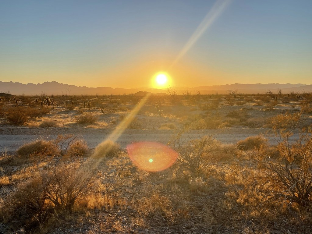
The initial descent was very steep, so I had to go carefully down the loose slope. Once I reached the desert floor it was easy hiking back to the car. I was able to enjoy the sunset as I got close.
I reached the car once more at 5pm. This hike was just 4.5 miles, 764 feet elevation gain, and 2:22:00 total time.

I packed up the car and then hit the road. I made it to 2.5 mile from the trailhead for Turtle and called it a night. The location was very remote so I slept soundly.
