Waterman Mountain and Twin Peaks
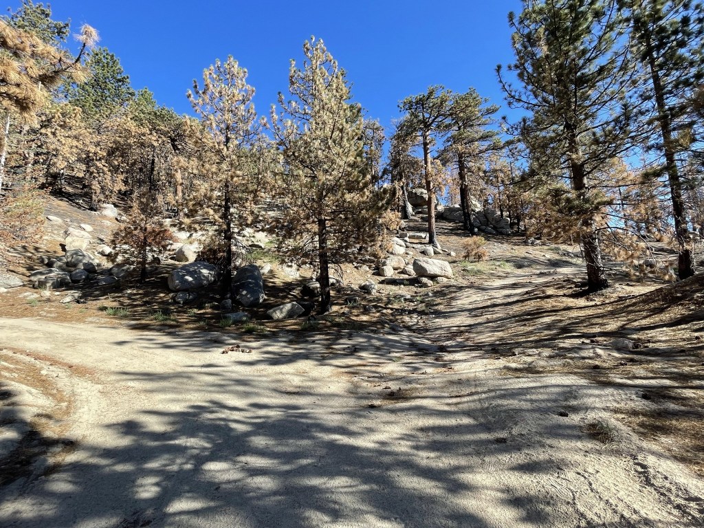
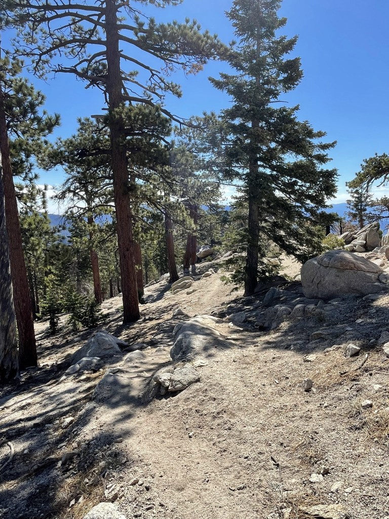
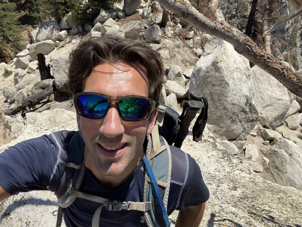
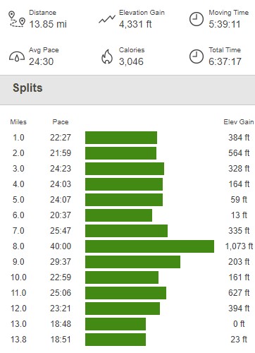
Waterman Mountain (8038 feet) and Twin Peaks (7761 feet) are 2 peaks on the HPS List in the San Gabriel Mountains in Los Angeles County. They both have over 1000 feet of prominence and can be combined into a day hike starting from the Angeles Crest Highway (Hwy 2). Unfortunately, I was on call for my job over this Fourth of July weekend, but I had the actual 4th off call so I decided to take advantage of my one free day and get in a full day of hiking. It took me about 2 hours 45 minutes to reach the trailhead near Buckhorn Campground. I parked at a large turnout on the north side of the highway just across from the trail. I began hiking at 7:44am from 6777 feet above sea level. I hiked up the trail to the south and then reached a dirt road at 0.3 mile. From here, you can continue on the trail and approach Waterman from the east, or you can take the road and approach from the west. I decided to take the road on the way up to do the loop counter-clockwise.

There is a seasonal ski area on Waterman Mountain, so there are dirt service roads everywhere. I passed dozens of forks, but I always stayed on the main road.
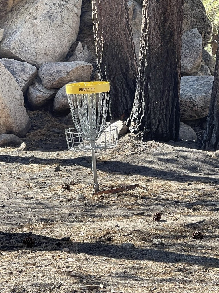
There was also a disc golf course in the area.
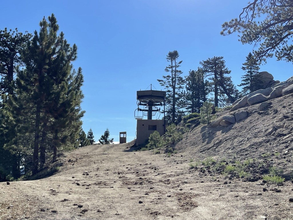
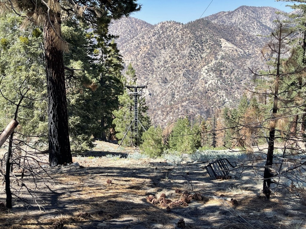
At 2.2 miles I reached the top of a ski lift.

The road turned south after the ski lift.
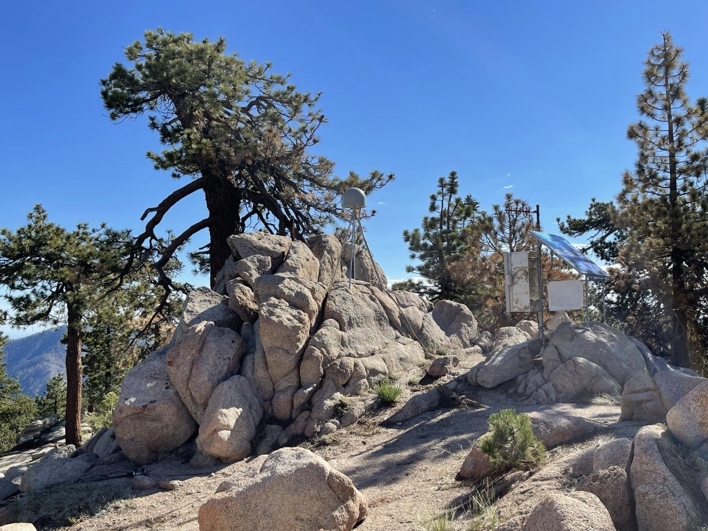
Waterman actually has 2 summits. The south summit is the official USGS summit where the HPS register is located, but Peakbagger actually lists the north summit as 2 feet higher. I decided to climb both just to be safe. At 2.5 miles I left the trail to climb to the north summit of Waterman (8040 feet). I passed another lift on the way up.
I reached Peak 8040 at 2.7 miles. There were 2 rock piles that seemed almost equal in height, so I climbed both. There was some kind of solar installation on the peak.
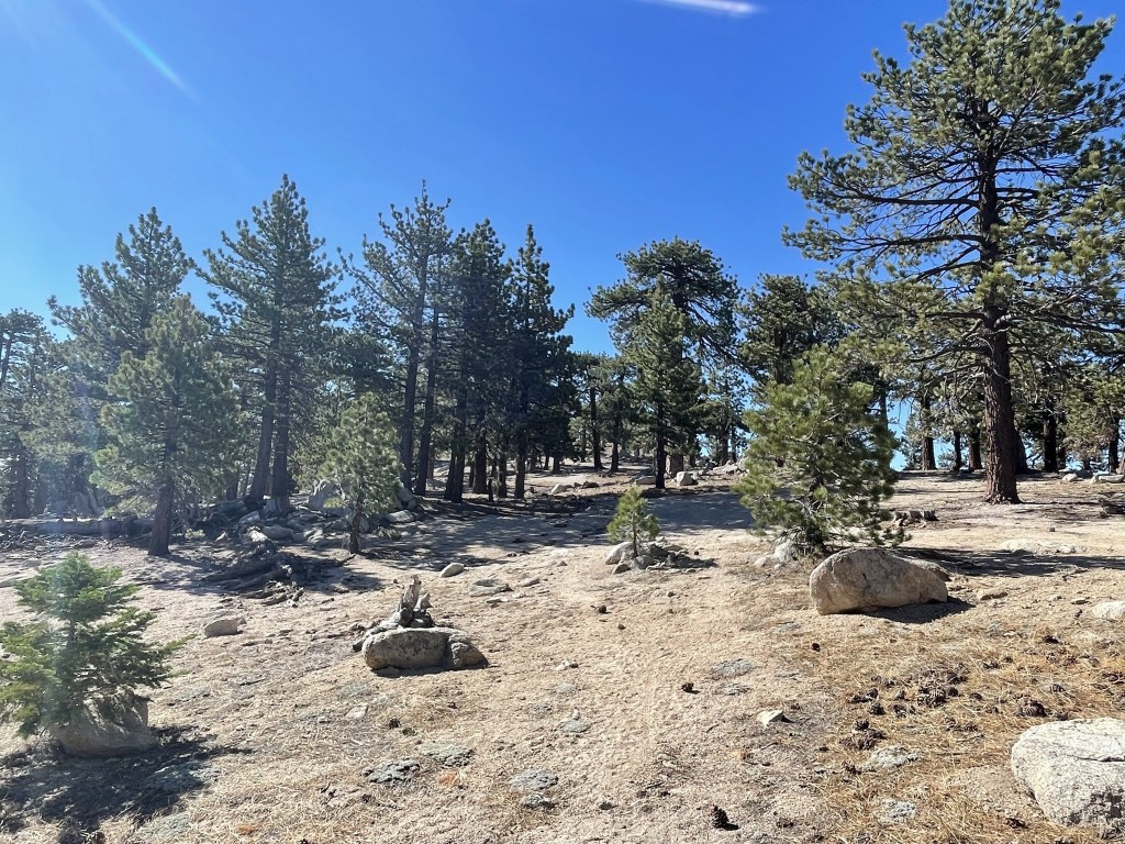
I continued south and then turned east. There were so many criss-crossing roads it was a little difficult to stay on track.
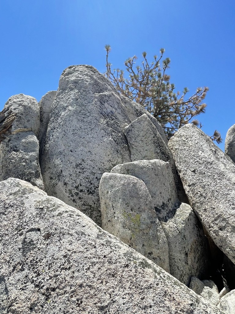
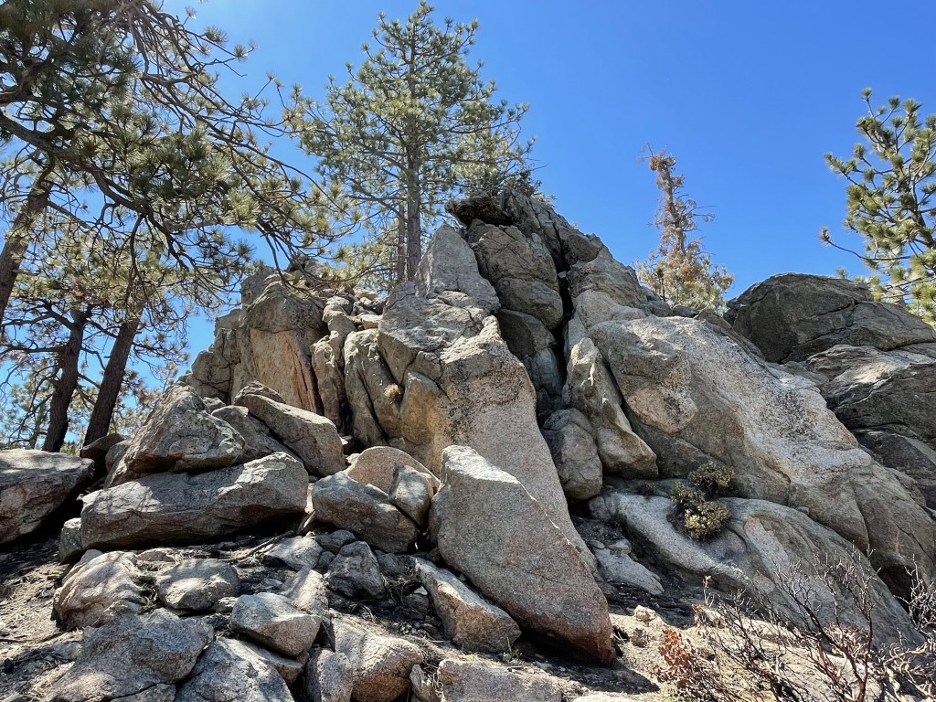
The summit of Waterman was composed of some large boulders.
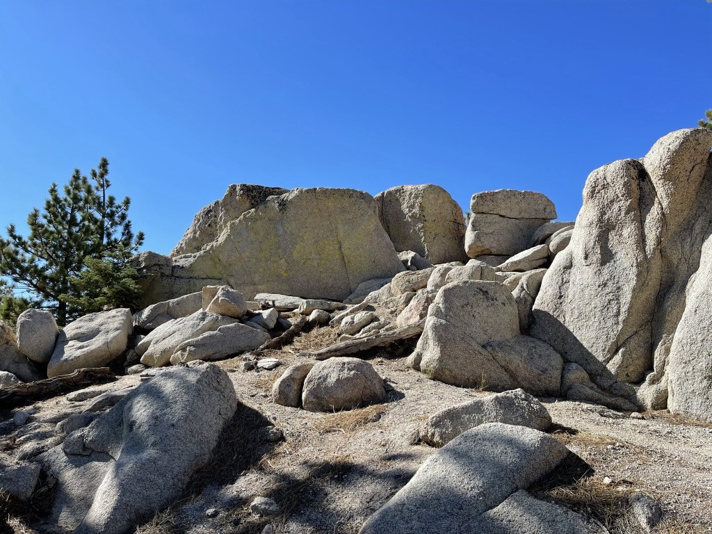
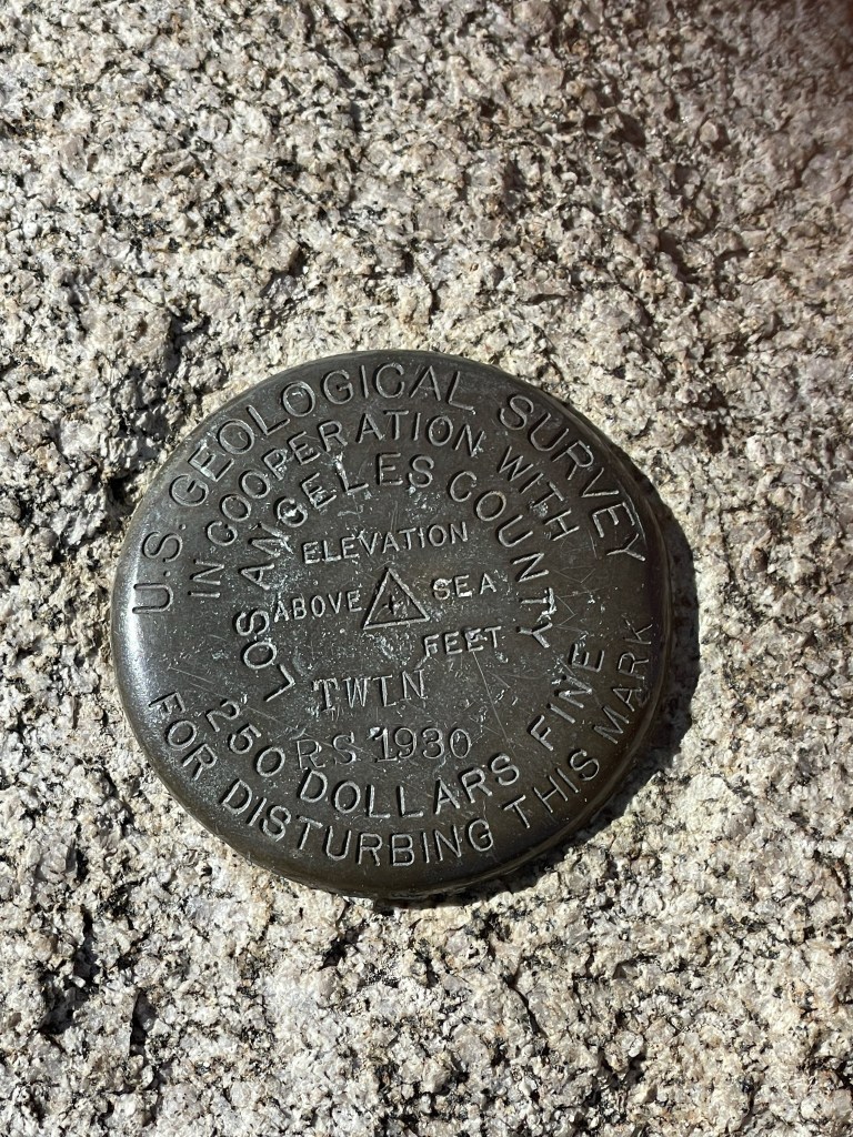
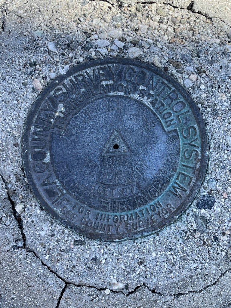
I reached the summit at 9:07am at 3.3 miles! Unfortunately, the views weren’t great due to tree cover. I didn’t locate a register, but I did find a “Twin” benchmark.
I climbed down off the summit and hiked south to a small rock outcrop known as Waterman Point (7972 feet).
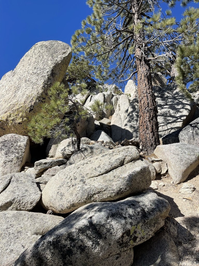
The summit block was a fun class 2 scramble (maybe low class 3). I reached the top at 3.5 miles.

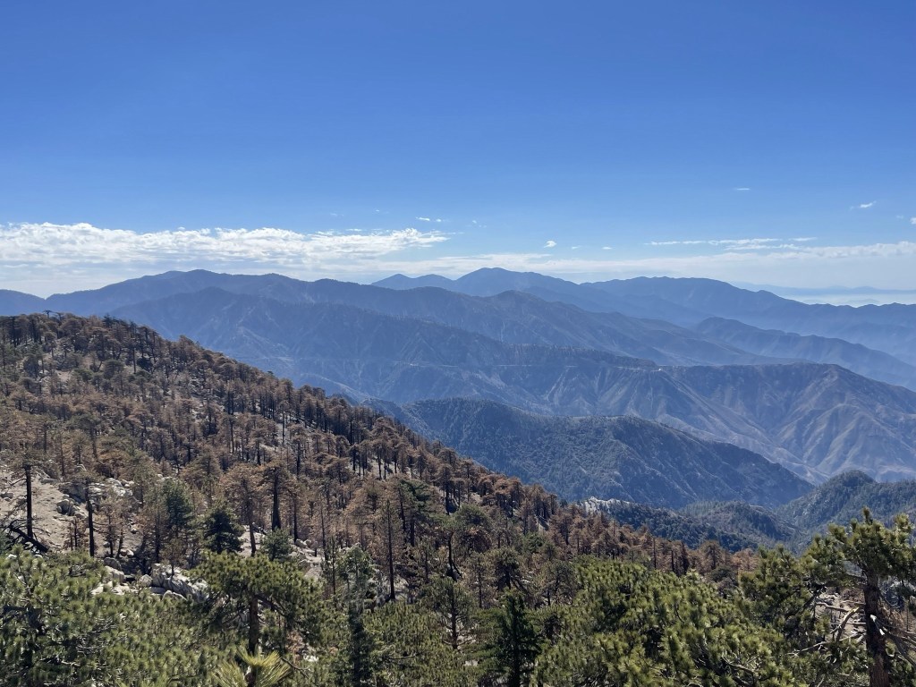
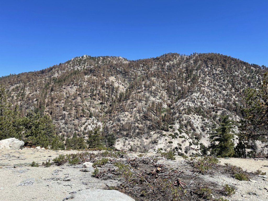
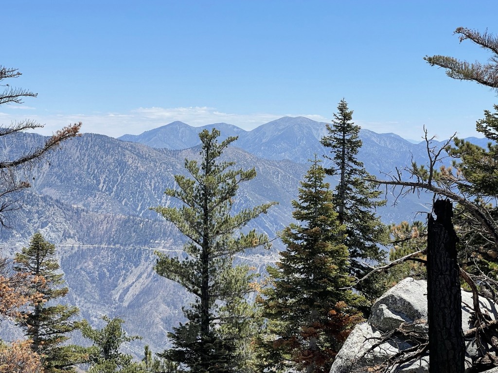
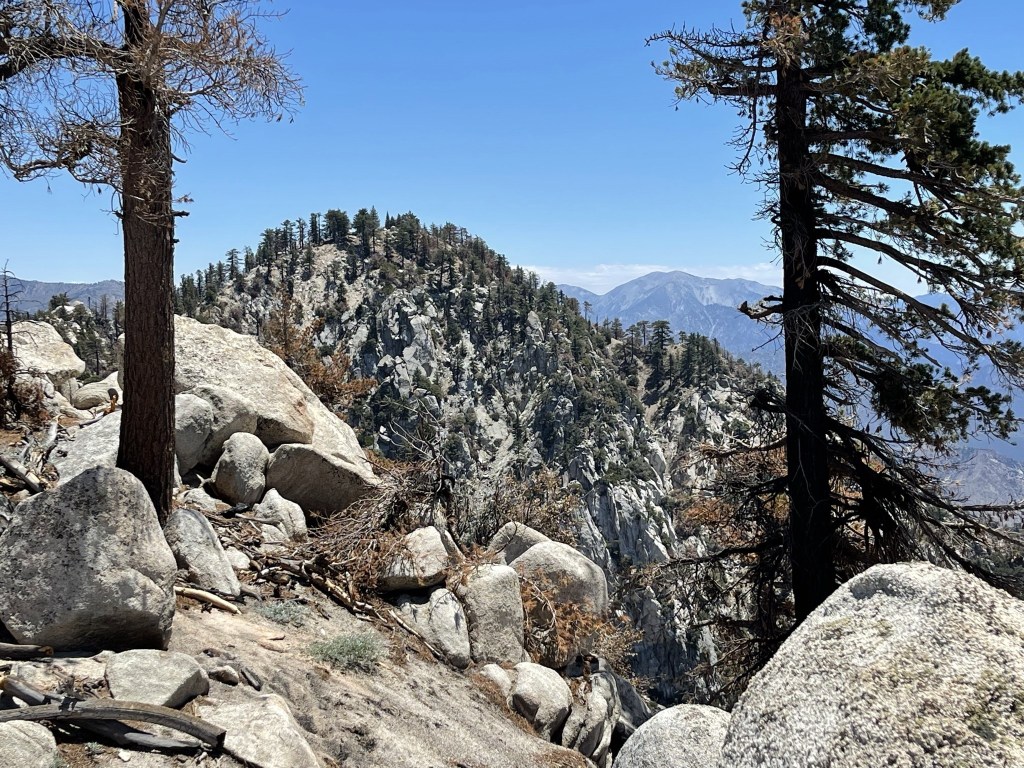
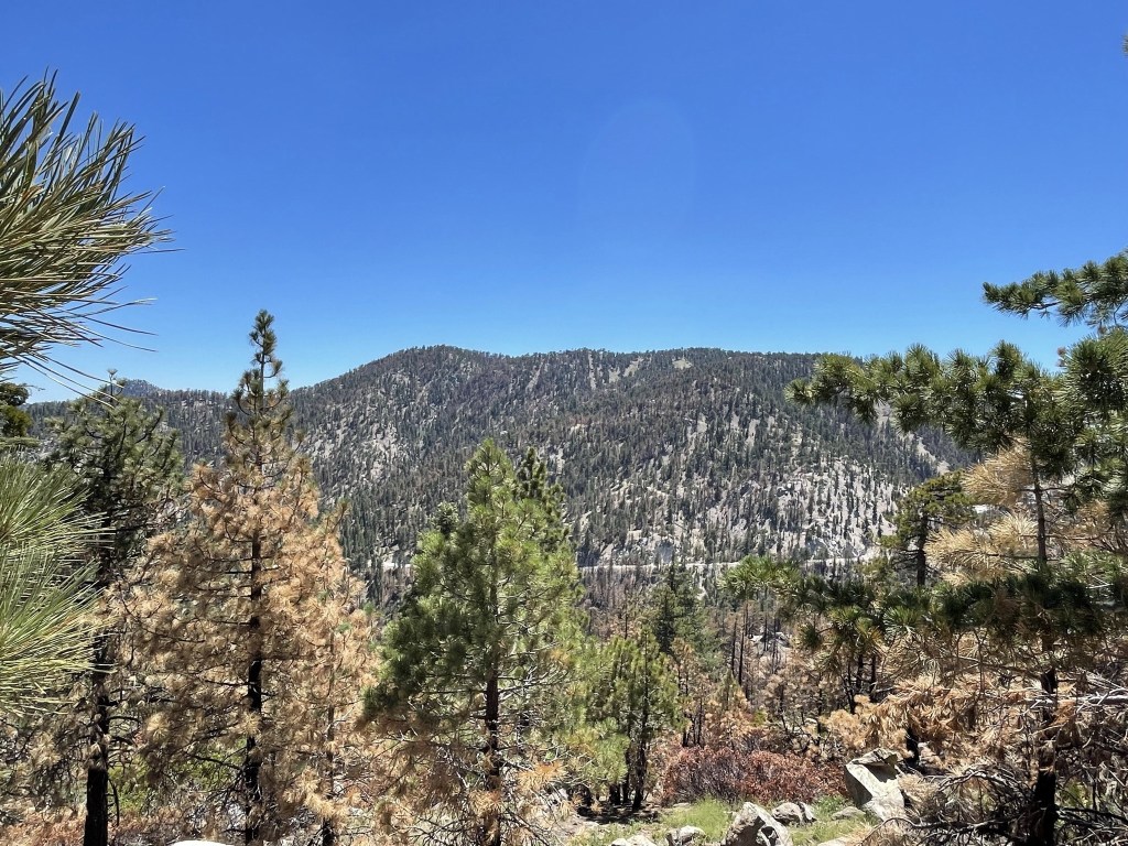
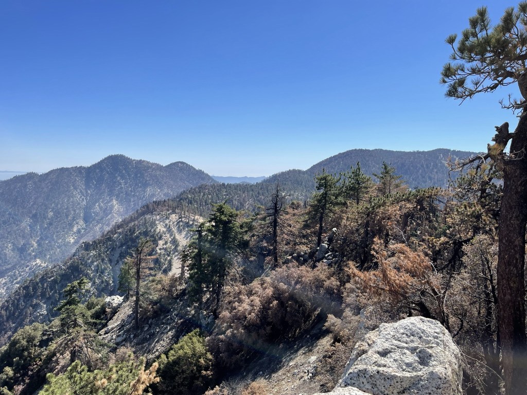
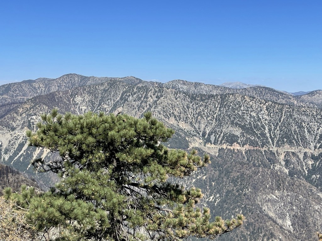
The views were excellent. To the east I could see Mount Baden-Powell, Pine Mountain, Dawson Peak, Mount Baldy, and Cucamonga Peak.
To the south I could see my next destination, Twin Peaks.

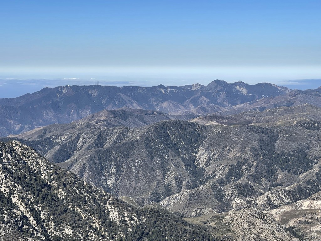
To the southwest I could see Mount Wilson and San Gabriel Peak. The white golf ball on the left is the Mount Wilson Observatory.
I climbed down off the summit and reached the trail at 3.6 miles. I passed 2 hikers shortly after making their way to Waterman. They would be the only other hikers I’d see all day.
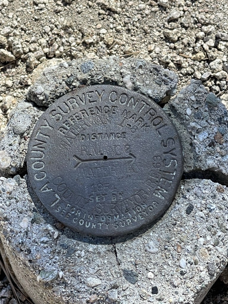
I left the trail at 4 miles to climb to Waterman Benchmark (7910 feet). I hiked up a forested slope and found the benchmark at 4.1 miles. I also located reference marker #2.
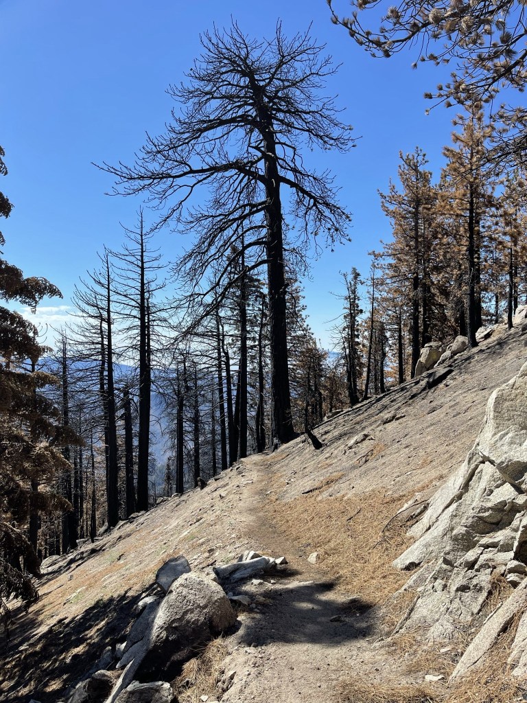
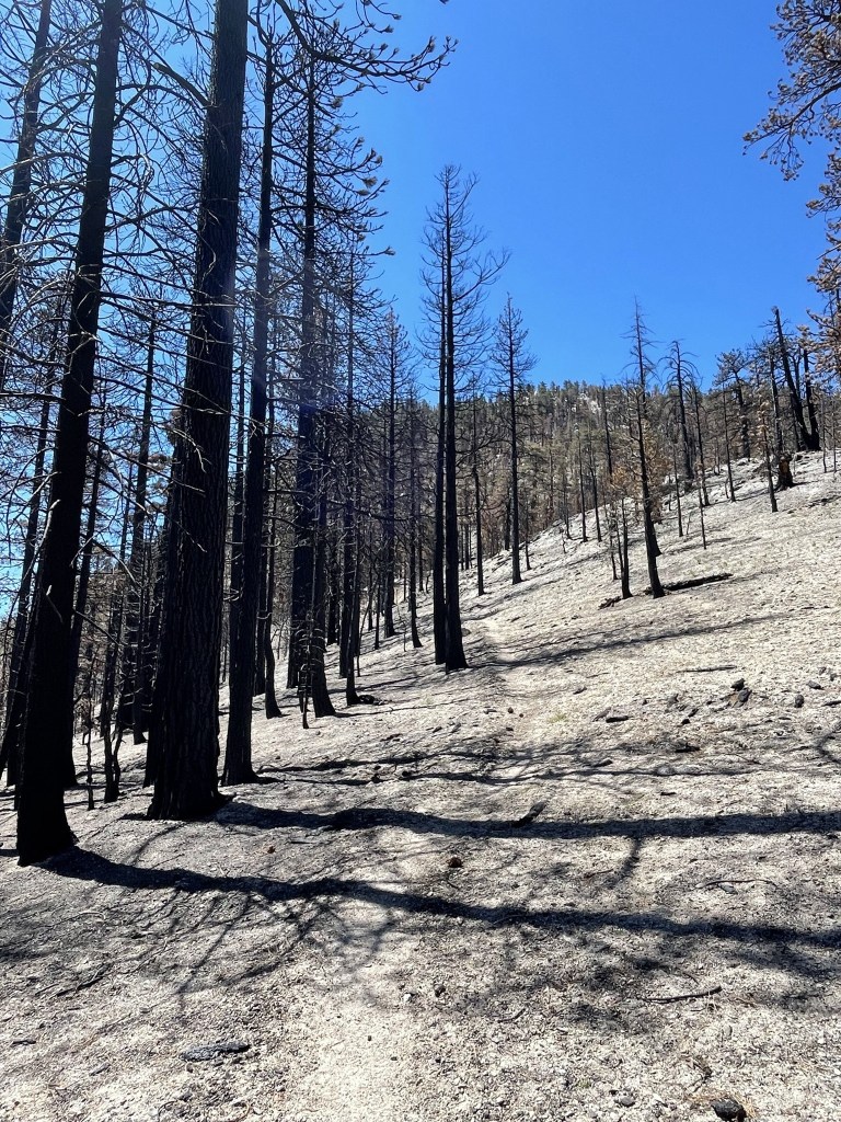
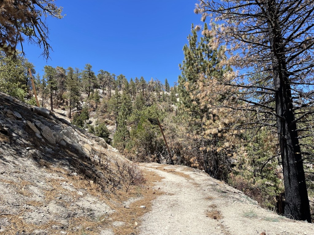
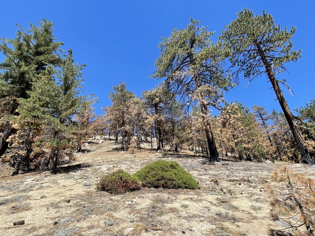
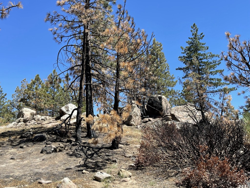
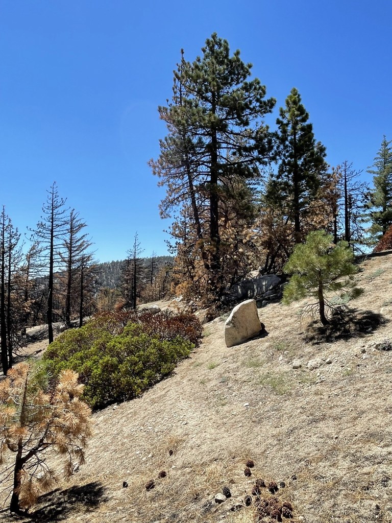
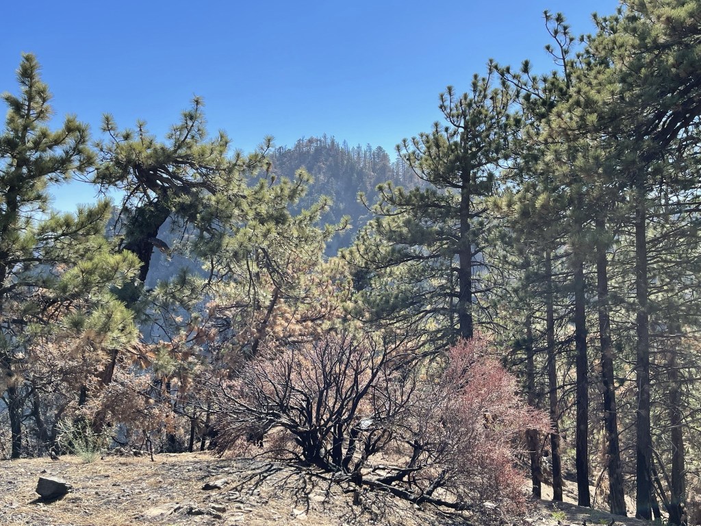
I climbed down the slope to the east and reached the trail once more at 4.3 miles. This side of the mountain had been severely burned in last year’s Bobcat Fire.
I reached the turnoff for Twin Peaks at 4.5 miles. I turned south and began descending towards the saddle between Waterman and Twin Peaks.
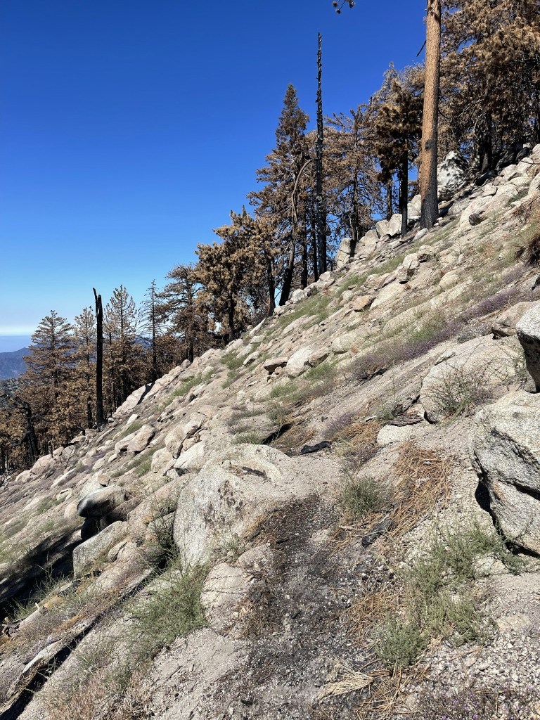
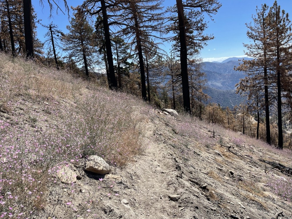
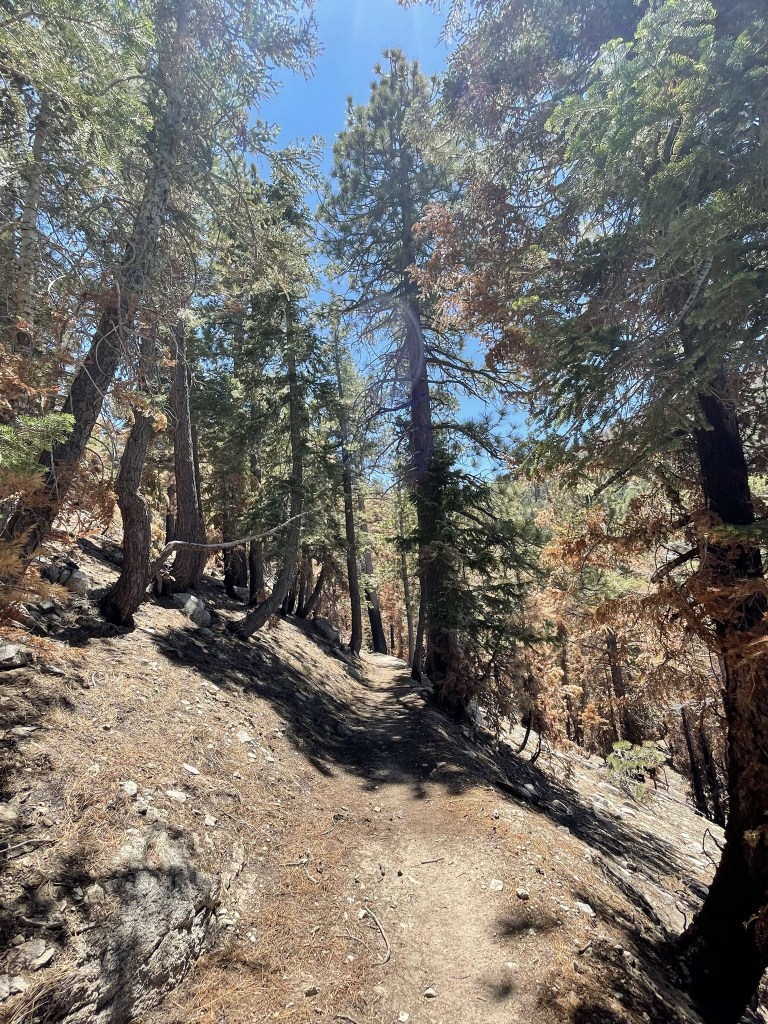
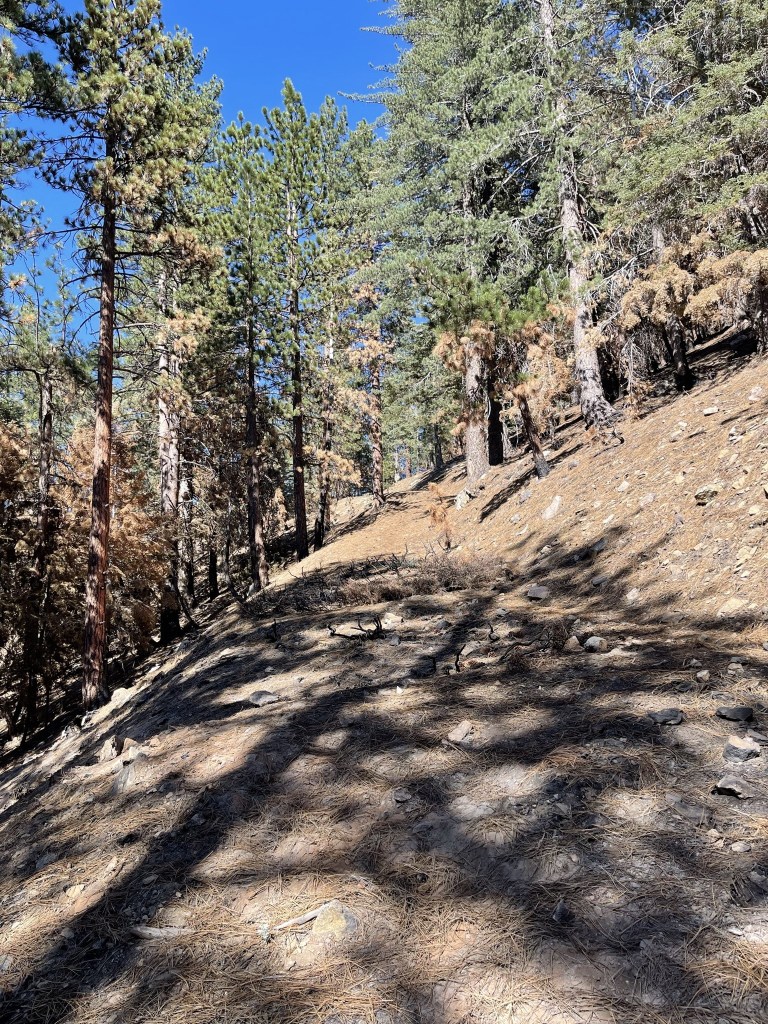
The trail made many switchbacks as it descended. There was soot and ash everywhere, and the entire area still smelled like a campfire. There were also many downed trees blocking the trail.

There were some open areas with lots of little purple flowers growing.
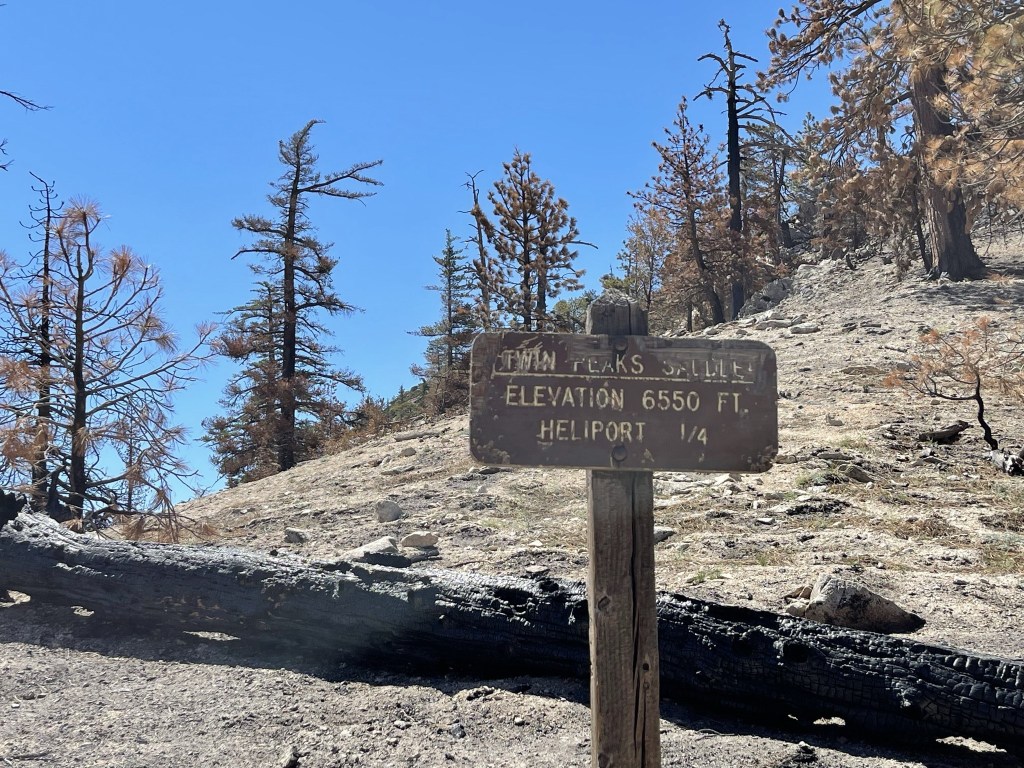
I reached Twin Peaks Saddle at 6.2 miles. I had descended nearly 1500 feet from Waterman.
Shortly after the saddle I left the trail again to make a quick climb east to Peak 6816.
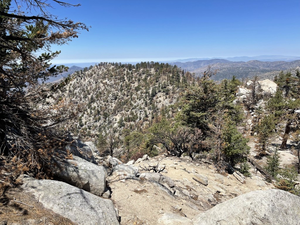
I reached Peak 6816 at 6.6 miles. There was no tree cover, so the views were pretty good. This is looking north back up at Waterman. I believe Waterman Point is the small rocky outcrop on the left.
I descended from Peak 6816 and quickly reached the trail again.
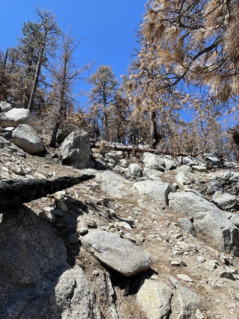
The trail ascended steeply to Twin Peaks. It was a bit difficult to follow at times, but I managed to stay on track.
The trail veered to the southeast towards the top.
I reached Twin Peaks at 11:24am at 7.6 miles!

There were 2 rock piles competing for the highest point. I climbed both but I think the northern one was higher. I did not locate a register. I had a good view of Pine Mountain, Dawson Peak, and Mount Baldy to the east.
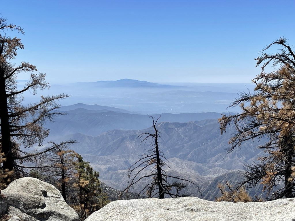
I could see Santiago Peak across the LA Basin to the south.
After a short break I hiked west along the ridge towards the lower west summit of Twin Peaks (7596 feet).
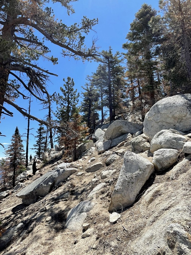
I hiked around a rough spot on the northern side of the ridge and then reached the small saddle between the 2 peaks. I then ascended up an easy slope to West Twin.

I soon reached the summit block of West Twin.

The summit block required a class 3 move to reach the top. I scrambled up onto a lower rock on the north side of the block and then managed to hoist myself up.
I reached the summit at 12:06pm at 8.4 miles! The class 3 scramble was a nice change of pace from the many miles I hiked this day.
I could see the higher East Twin less than a mile away.
I climbed back down and located a register at the base of the summit block. It was placed in 2016 and the most recent entry was from July 19, 2020. I began descending after a short break. I hiked east towards the saddle between the twin summits.

I hiked cross country down the northern slope of Twin Peaks and then reached the trail again at 9 miles. From there I hiked back down to the saddle between Waterman and Twin Peaks.

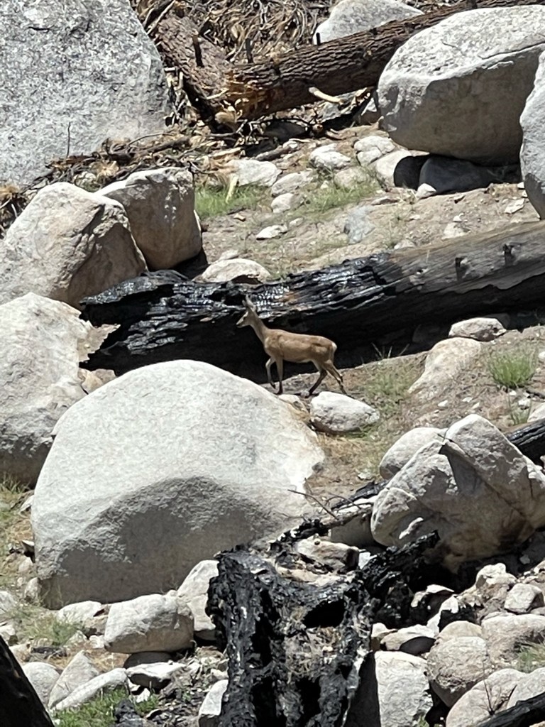
I reached the saddle at 9.7 miles and then ascended back up to Waterman. I saw a deer off to my left side on the way up.
I reached the junction of the Waterman and Twin Peaks trails at 11.5 miles. I went right to complete the Waterman Loop.
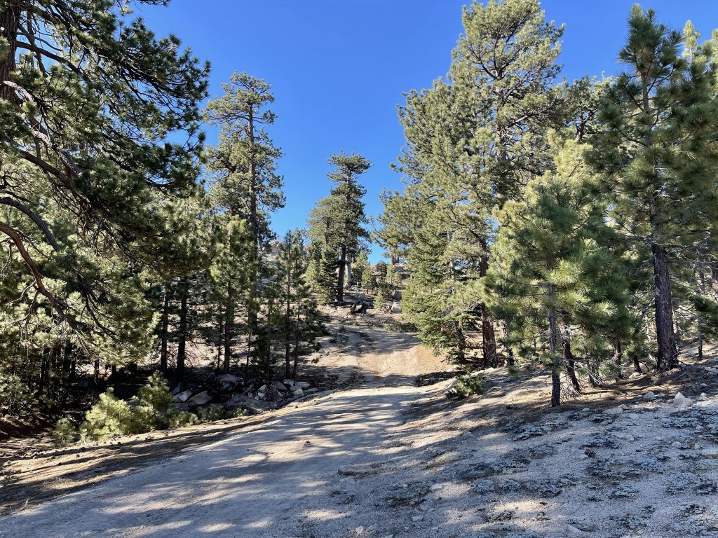
The rest of the trail was easy going. I reached the car once more at 2:21pm. This hike totaled 13.85 miles, 4331 feet elevation gain, and 6:37:17 total time.

Mount Akawie
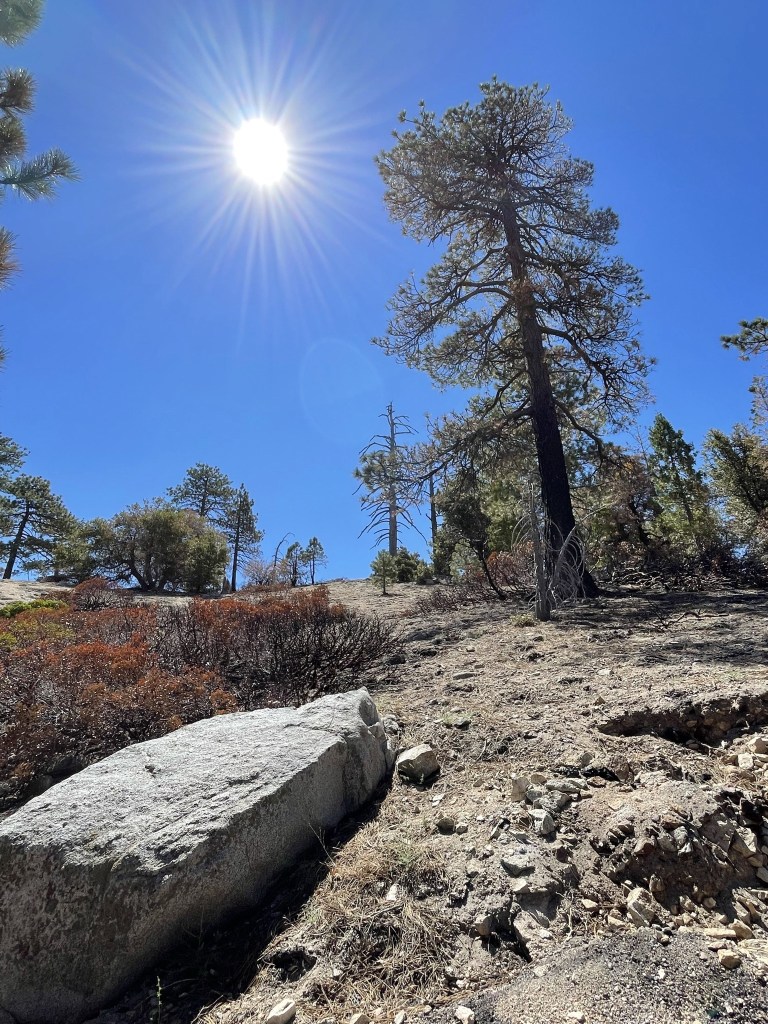
It was 85 degrees when I got back to the car and I had gone through 4 of the 5 liters of water I had brought. Thankfully, I had some extra bottled water in the car, and it was still drinkable despite sitting in the hot car all day. I decided to tack on another HPS peak or 2 before heading home. There are a number of HPS peaks in the area that are short hikes from the highway. I was relieved that the water in my car wasn’t boiling hot or else I probably would have had to call it a day. I decided to climb 7283 foot Mount Akawie which was a short distance away on the other side of the highway. I drove less than a mile northwest and parked at another large turnout on the north side of the highway. I started this hike at 2:31pm from 6890 feet.
I hiked north and then northeast on an old dirt road. At 0.3 mile I went left at a fork and went cross country shortly after. I climbed northeast up a forested slope.
I soon neared the summit boulders.
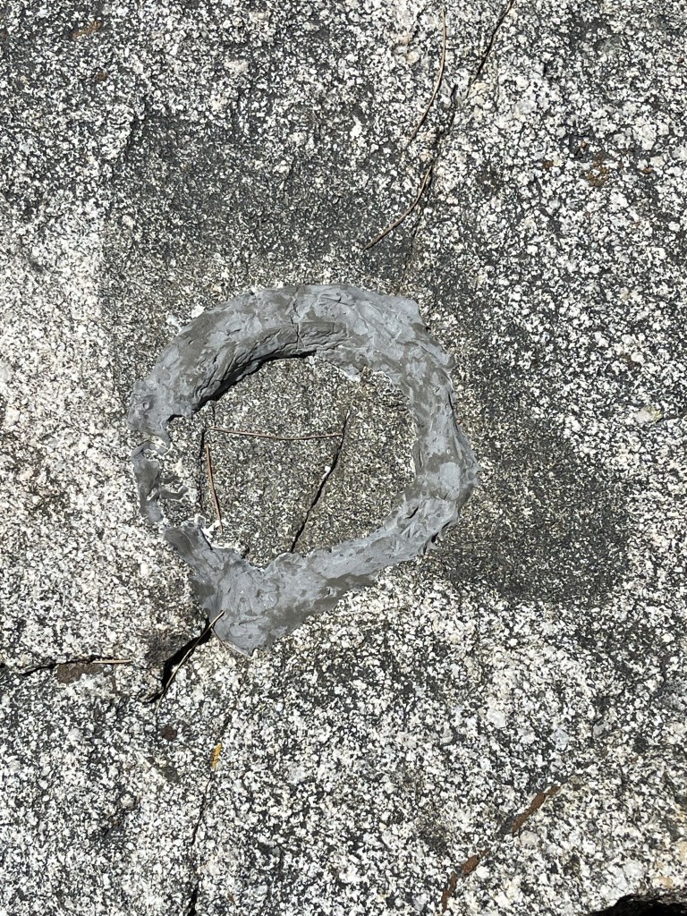
I reached the summit at 2:51pm at 0.6 mile. The register was completely burned. I did manage to sign a small piece of paper that someone had added to the can in May of this year. I didn’t locate any survey markers, but I did find a spot where one used to be.
I had a good view of Waterman to the south.
I began descending after a short break. I followed a vague use trail to the west.
I left the trail at 1.1 miles to climb southwest to unnamed Peak 7118. I climbed a hundred or so feet and then reached some rocks at the summit.
It was an easy scramble to reach the top, which I reached at 1.2 miles. Mount Akawie was less than a mile to the east:

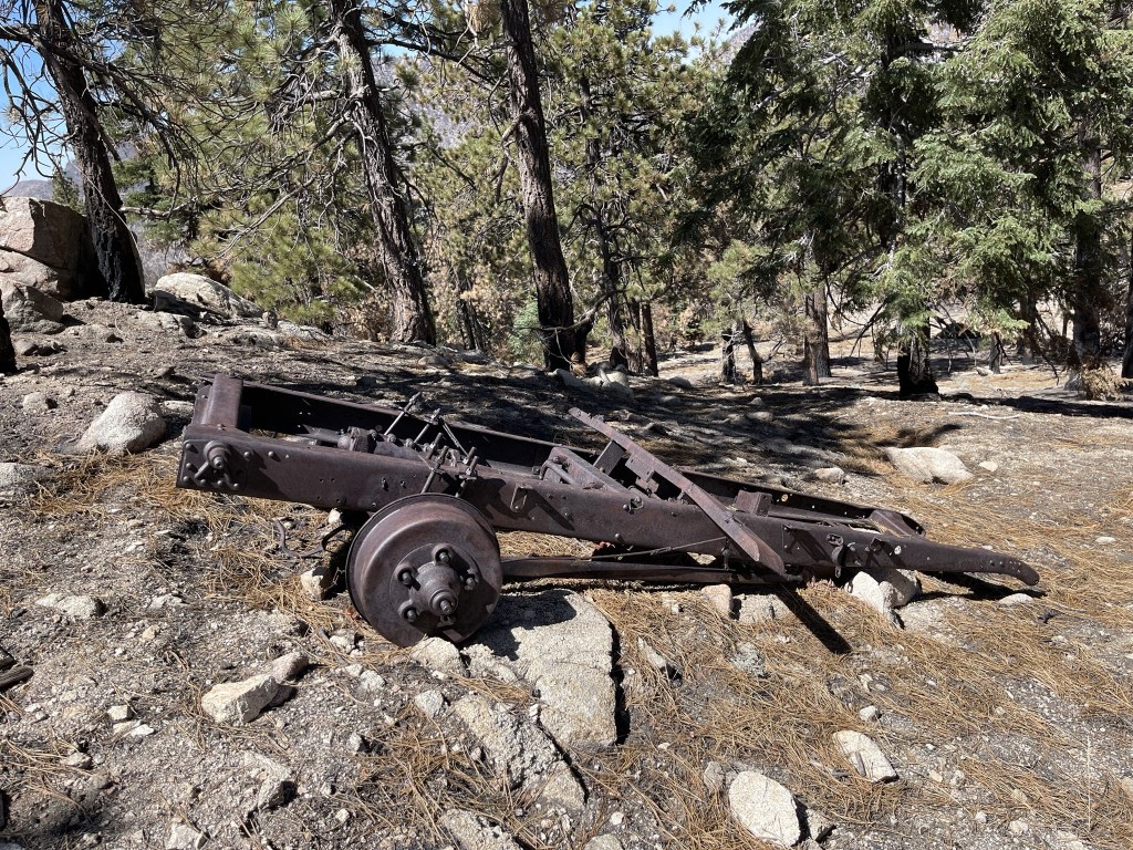
I climbed down and the descended back to the road. I found a rusty old wagon just below the summit.
I reached the car at 3:27pm. This hike totaled 1.68 miles, 499 feet elevation gain, and 56:09 total time.

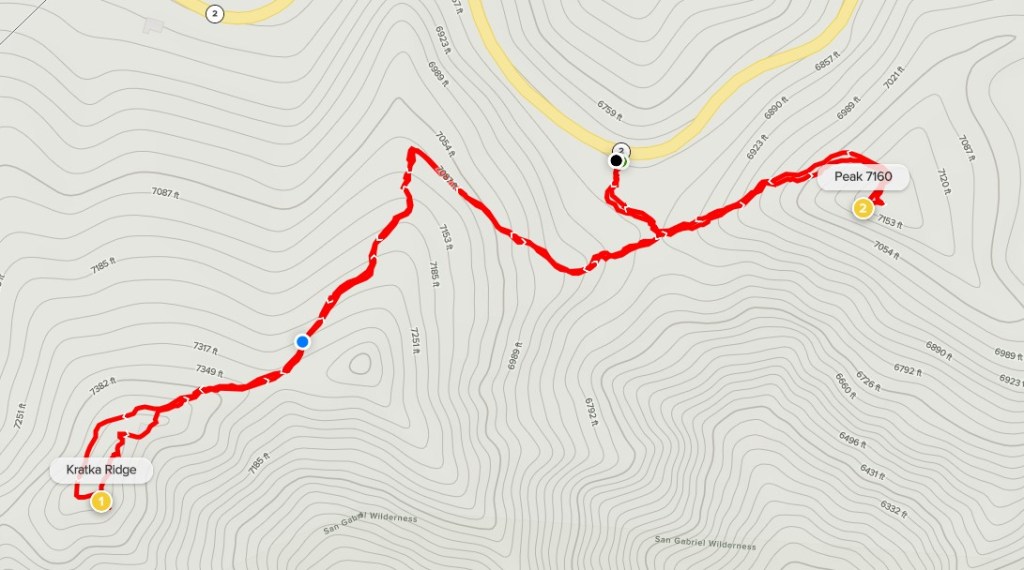
Kratka Ridge
I had time for one more hike before heading home so I chose to climb 7515 foot Kratka Ridge. I drove about 2.5 miles east and then parked at a turnout on the south side of the highway. I began this hike at 3:39pm from 6830 feet. I hiked south up a vague trail.

At 0.1 mile I reached a nice viewpoint with a bench.

I turned west and began hiking up the ridge.

I followed the vague trail as it bent southwest and got steeper.

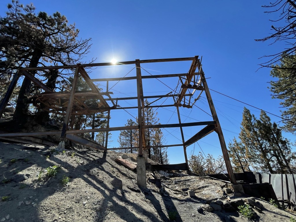
Near the top I passed by an abandoned ski lift.

I reached the summit at 4:04pm at 0.7 mile. I did not locate a register. To the southwest I had a good view of Twin Peaks (left) and Waterman Mountain (right).
To the east were Baden-Powell (left) and Mount Baldy (right).
After a short break I hiked back down past the ski lift and onto the trail.
I reached the overlook with the bench at 1.4 miles. I decided to do one more quick peak before calling it a day – unnamed Peak 7160. I continued east past the bench along an old road bed.
The road was fairly steep, but it was a quick hike to the top. I reached the summit at 1.6 miles. I could see Kratka Ridge about a mile to the west.
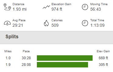
I took a short break and then hiked back down. I reached the car finally at 4:52pm. This hike totaled 1.93 miles, 974 feet elevation gain, and 1:13:09 total time.
They weren’t the most interesting or most scenic hikes I had ever done, but it was still a fantastic day in the mountains and great exercise!
