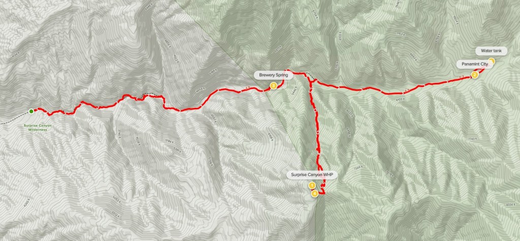
The Panamint Mountains, lying on the western side of Death Valley National Park, are one of the highest desert mountain ranges in California. Telescope Peak is the highest peak in the range at an elevation of 11048 feet. The next 2 peaks south along the Panamint Crest are Sentinel Peak (9634 feet) and Porter Peak (9101 feet). The 2 peaks are only 4 miles apart, so they are often combined into one trip. However, the approach from the western base of the mountain range is very long so the peaks are usually done as an overnight backpack. I had recently purchased backpacking gear, so I decided to do Sentinel and Porter as my first ever backpacking trip. My plan for day 1 was to hike up Surprise Canyon to the ghost town of Panamint City at 6300 feet. I also intended to climb Surprise Canyon Wilderness Highpoint (7770 feet) along the way if I had time. Day 2 I planned to climb Sentinel and Porter, and then return to Panamint City and descend the same way I came up. I left San Diego early on Saturday morning and made the 4 ½ hour drive to the trailhead. From Highway 138, I took Ballarat Road east for 3.5 miles to the ghost town of Ballarat. There were a few old buildings there that looked like they would be cool to explore if I had more time. I then went north on Indian Ranch Road for 2 miles and then turned right onto Surprise Canyon Road which I followed a few more miles until it ended at the trailhead. The roads were all excellent except the last mile or so to the trailhead got a little bumpy. The drive should still be okay for a sedan. There were 2 other cars parked there including a couple who were camped there for the weekend. I began hiking at 9:20am from 2583 feet above sea level.
There was a barrier preventing motor vehicles from continuing up the canyon.

I made it about a tenth of a mile before I realized I didn’t bring any chapstick! Thankfully I keep some in the car and I wasn’t too far away, so I dropped my bag and ran back to grab it. It wouldn’t have been a huge deal but hiking all day with chapped lips can be miserable (especially if they get sunburnt). Anyway, I proceeded up Surprise Canyon.

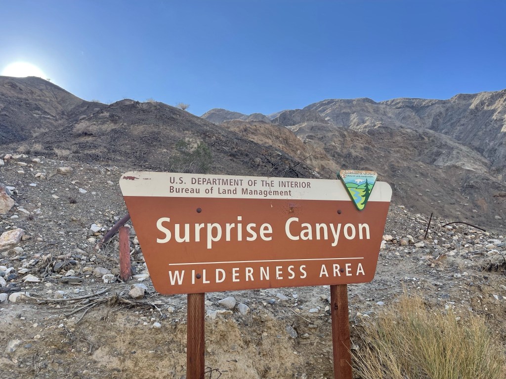
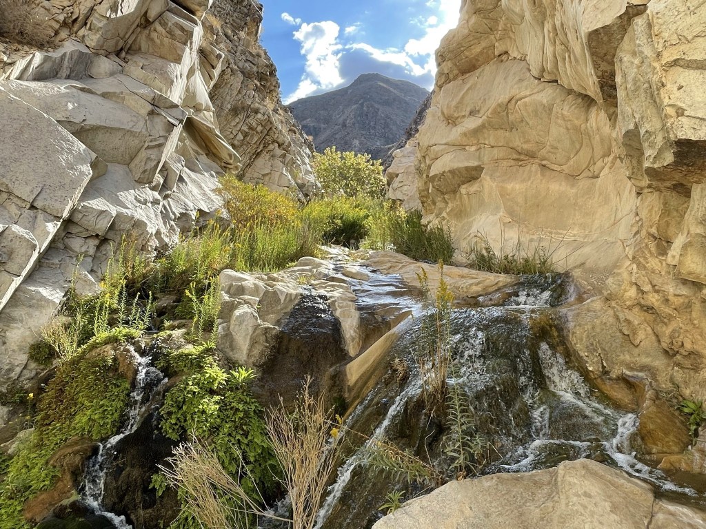
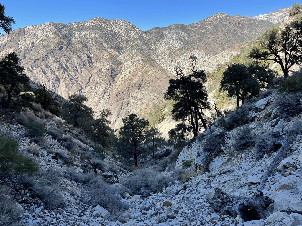
There was a lot of water in the lower part of the canyon. Spring fed creeks keep the canyon very green all year round. Parts of the trail were underwater, so I rolled up my pants to keep them dry.
There were sections of dense brush near the water. This was kind of a pain with my huge backpack on.

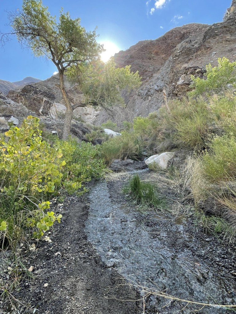
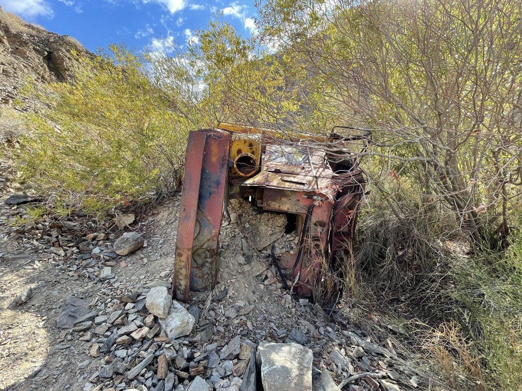
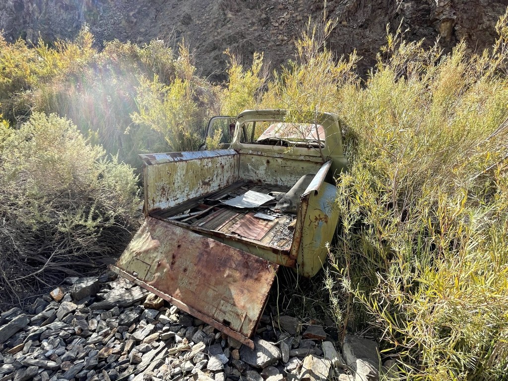
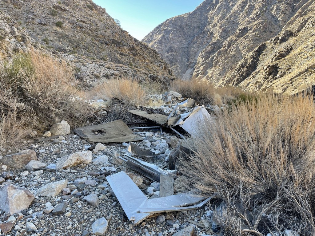
At 0.7 mile I found part of an old vehicle or something. The route I was on follows the old road to Panamint City so there were numerous vehicle parts strewn about the canyon.
My boots were already soaking wet less than a mile into the hike.

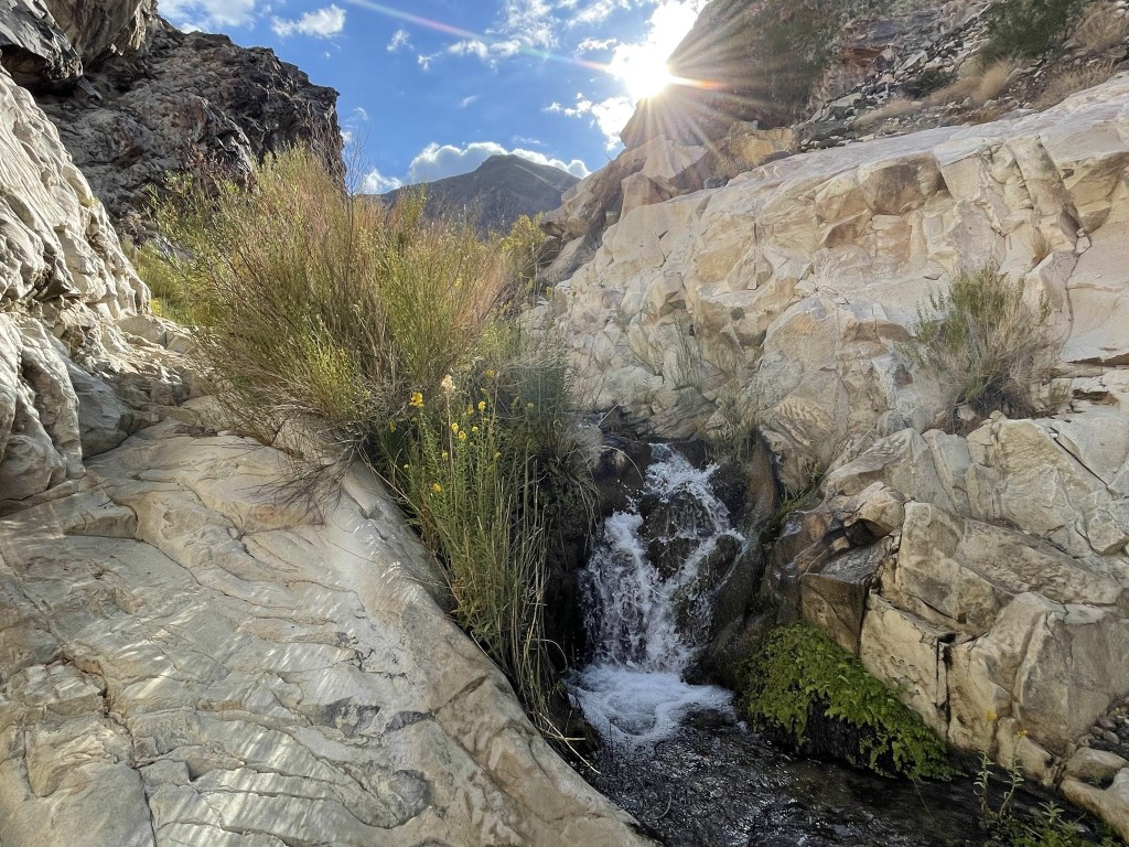
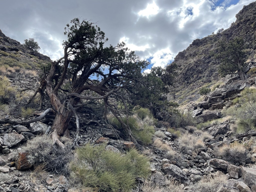
The canyon walls narrowed as I climbed up a few waterfalls.
The hike reminded me of the Virgin River Narrows in Zion National Park (on a much smaller scale of course).
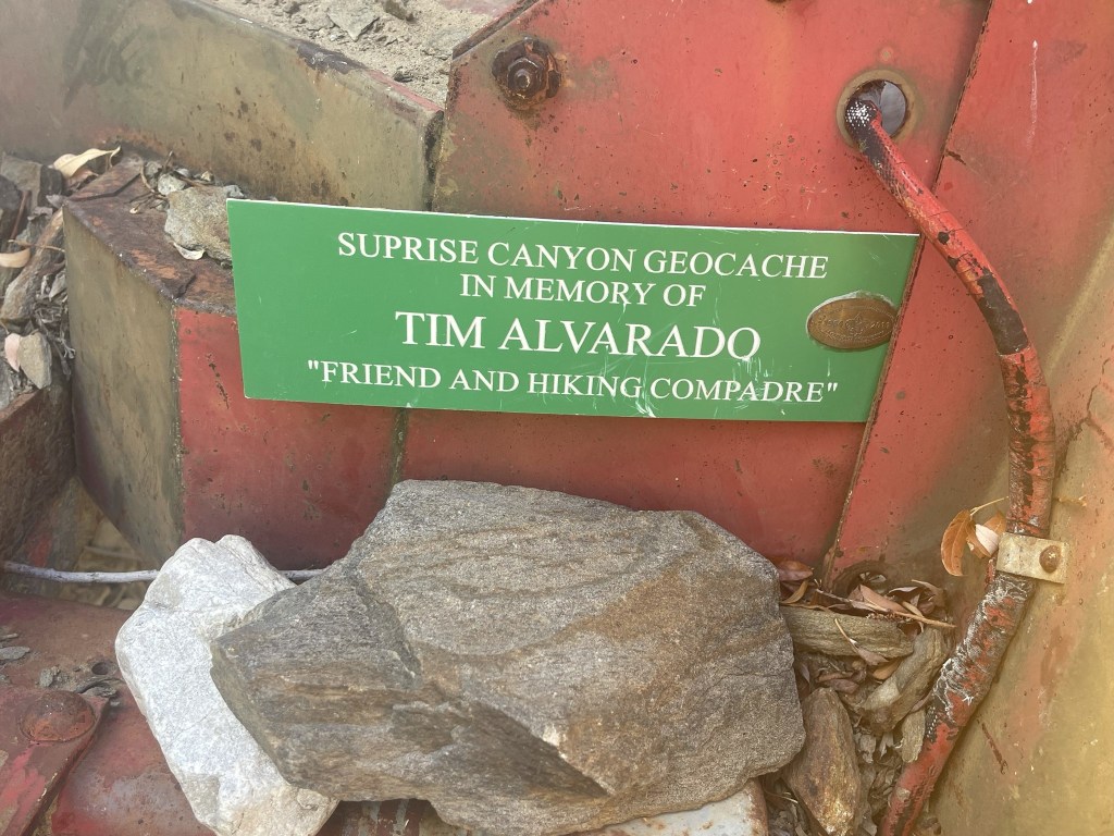
At 1.2 miles I found an old truck.
There was a geocache inside the truck.
I came across another truck just a short distance later.

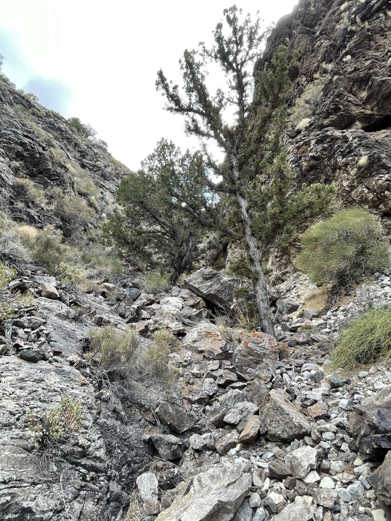
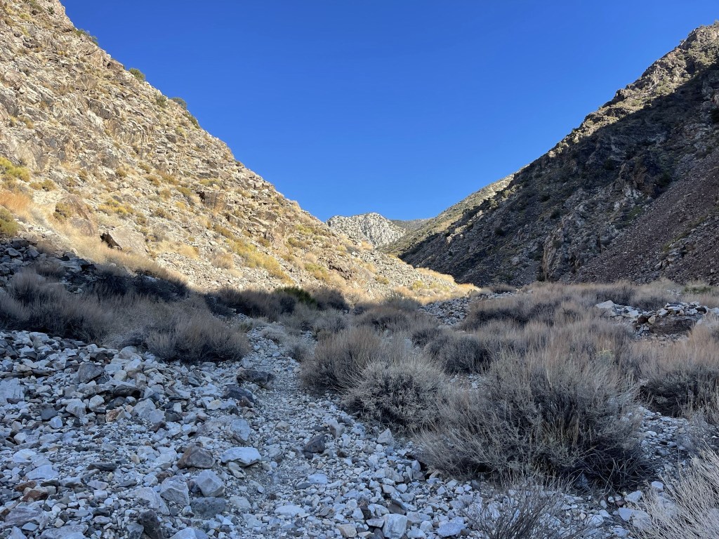
I continued up a dry section of the canyon.

The brush thickened once more as I neared Limekiln Spring.

It was a cloudy day which kept things pretty cool. Somewhere around here I crossed the boundary into Death Valley National Park.

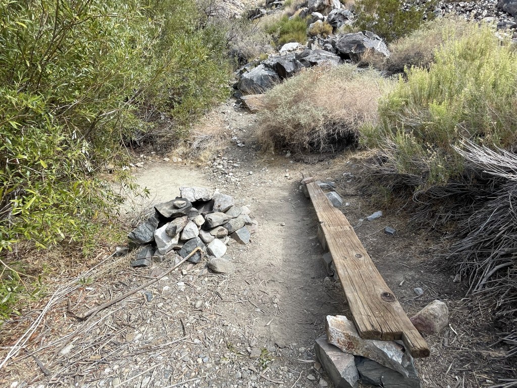
At 3.5 miles I came across a small campsite near Brewery Spring.
I hiked through more thick brush near the spring and got my boots soaked again. The canyon dried out again beyond the spring.

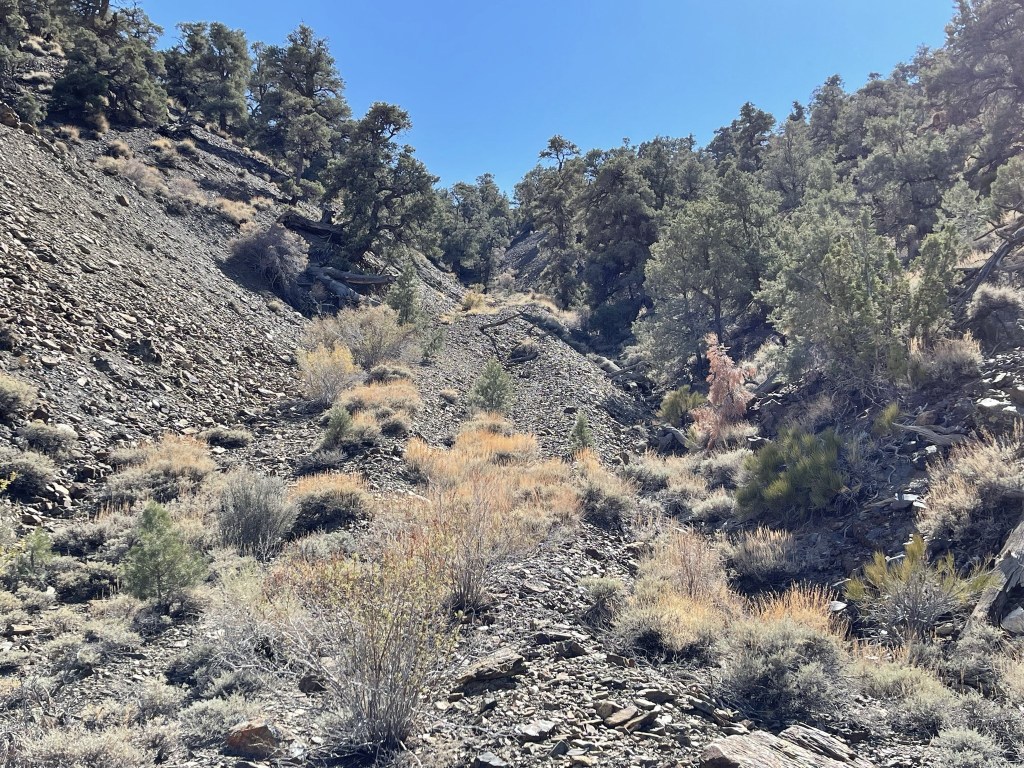
The trail widened into a road beyond the spring. This was the first time in the hike where you could actually tell that it was an old road.

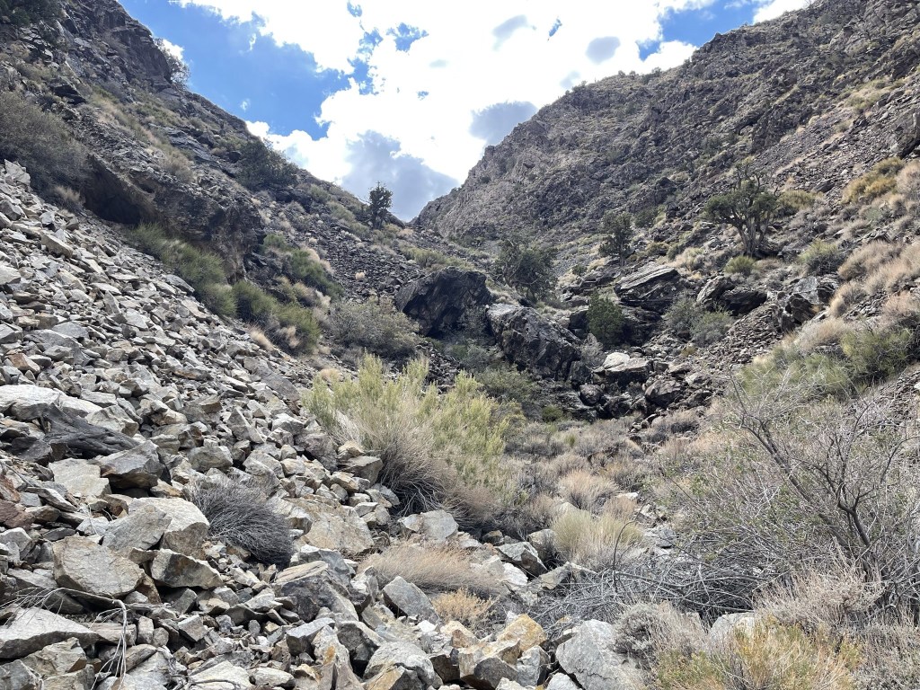
At 4.2 miles I left the road to make the climb to the wilderness highpoint. I was at 5200 feet so would need to climb about 2500 feet. My route would involve ascending a narrow side canyon south of the main canyon. I dropped my gear here and just brought some water and snacks with me in a daypack.
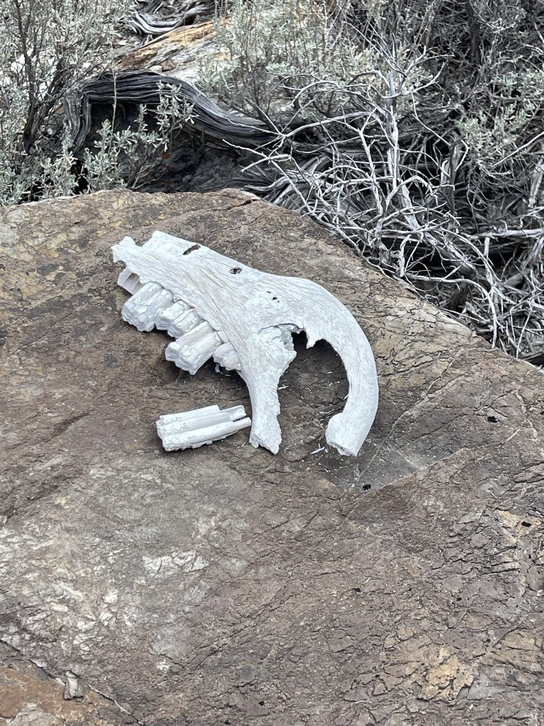
I found part of a skull in the lower part of the canyon.
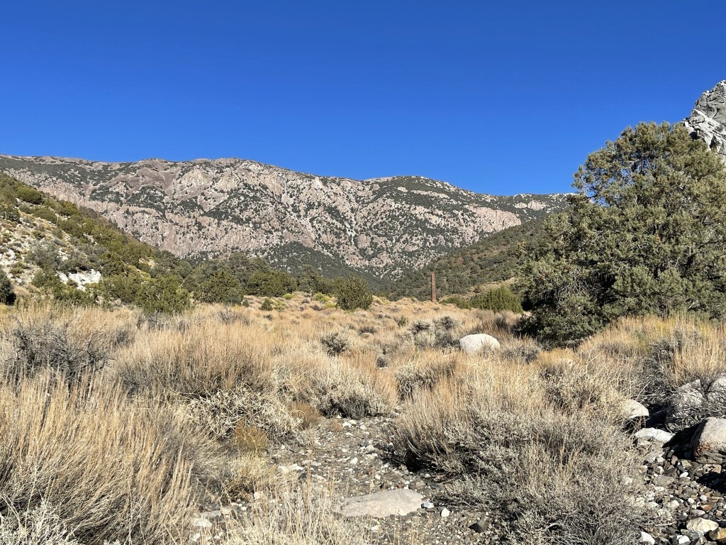
Pinyon pines and juniper shrubs started to appear at this elevation.
The lower half of the canyon wasn’t too steep, so I made good time.
It got much steeper as I made my way towards the top.

The canyon split around 6400 feet. I stayed to the right.

The canyon became so steep around 7300 feet that it was difficult to make any progress at all. I noticed an old 4WD road on the topo map slightly east of where I was that looked like it would take me to the top. I had no clue if the road actually existed or not, but it was worth a shot. I traversed a few hundred feet to the east and to my pleasant surprise found the old roadbed.
This road clearly hadn’t been used in decades, but thankfully there was enough of it left to follow towards the top of the ridge.

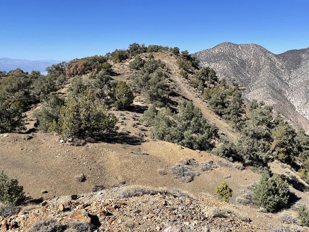
Once on the ridge it was a short walk west to the highpoint. I reached the summit at 2pm at the 6 mile mark!

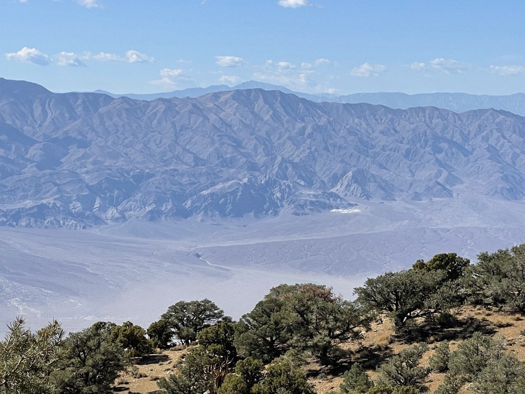
The wilderness highpoint is not much of a summit. It’s really just a small prominence that lies just outside the boundary of Death Valley National Park. There are actually 2 small bumps that compete for the highpoint. The southern bump is where the Peakbagger coordinates are, but the northern bump is clearly higher and contains the register. The register did not have many signatures to no surprise (this is a very obscure peak). It was placed in 2016 and the most recent entry was from January 16. I had a really nice view of Telescope Peak to the northeast.
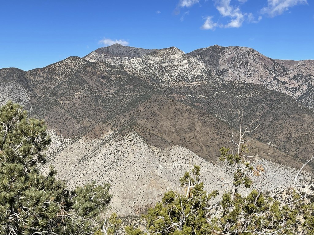
I could see many peaks in the High Sierra to the west, including Langley, Whitney, Williamson, Keith, and University.
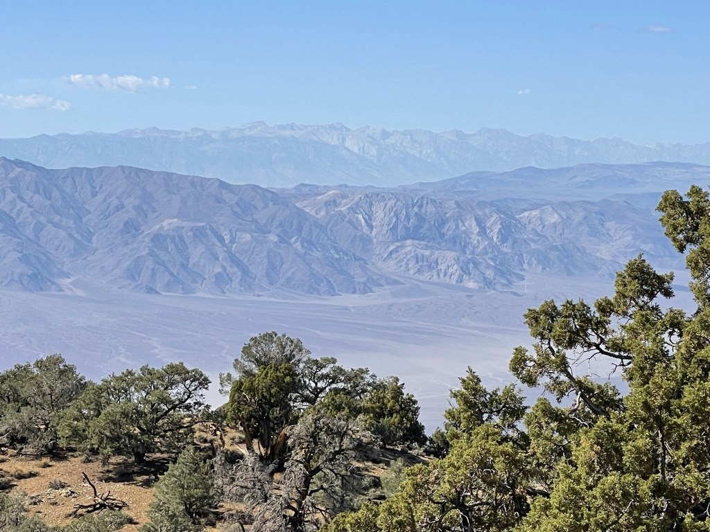
South of the Whitney area I could also see Olancha Peak (background).
I did make my way over to the southern bump just to confirm that the northern one is indeed higher.
I hiked back down the road and into the canyon again.
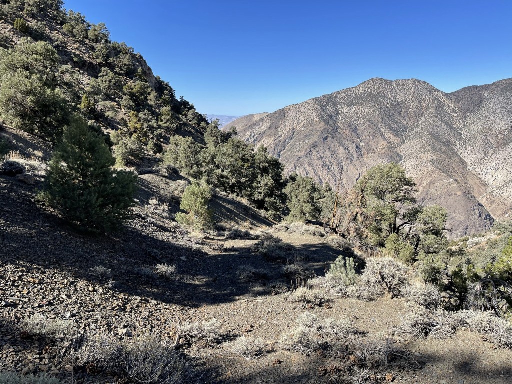
I descended slightly east of where I had climbed up just beneath the road.
I soon rejoined my ascent route and had a smooth descent.

I reached Surprise Canyon once more at 7.7 miles.
I had about 2 more miles to go to reach Panamint City. It felt weird to still be hiking uphill so late in the day!

I passed more junk along the way as I hiked east up the road.
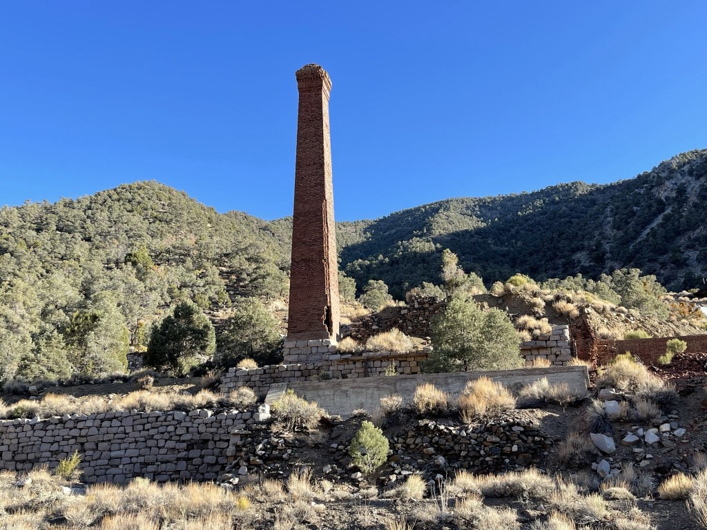
The old smelter stack of the city was visible from nearly a mile away.
I finally reached Panamint City at 9.6 miles. Remnants of the old mine were visible up the slope on the right.

Close up view of the smelter stack:
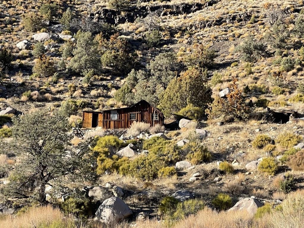
There were a few cabins up on the hillside to the left.
Old truck:

This old building had wind chimes on the front porch. I decided the chimes would freak me out in the middle of the night, so I made sure to not set up camp nearby.

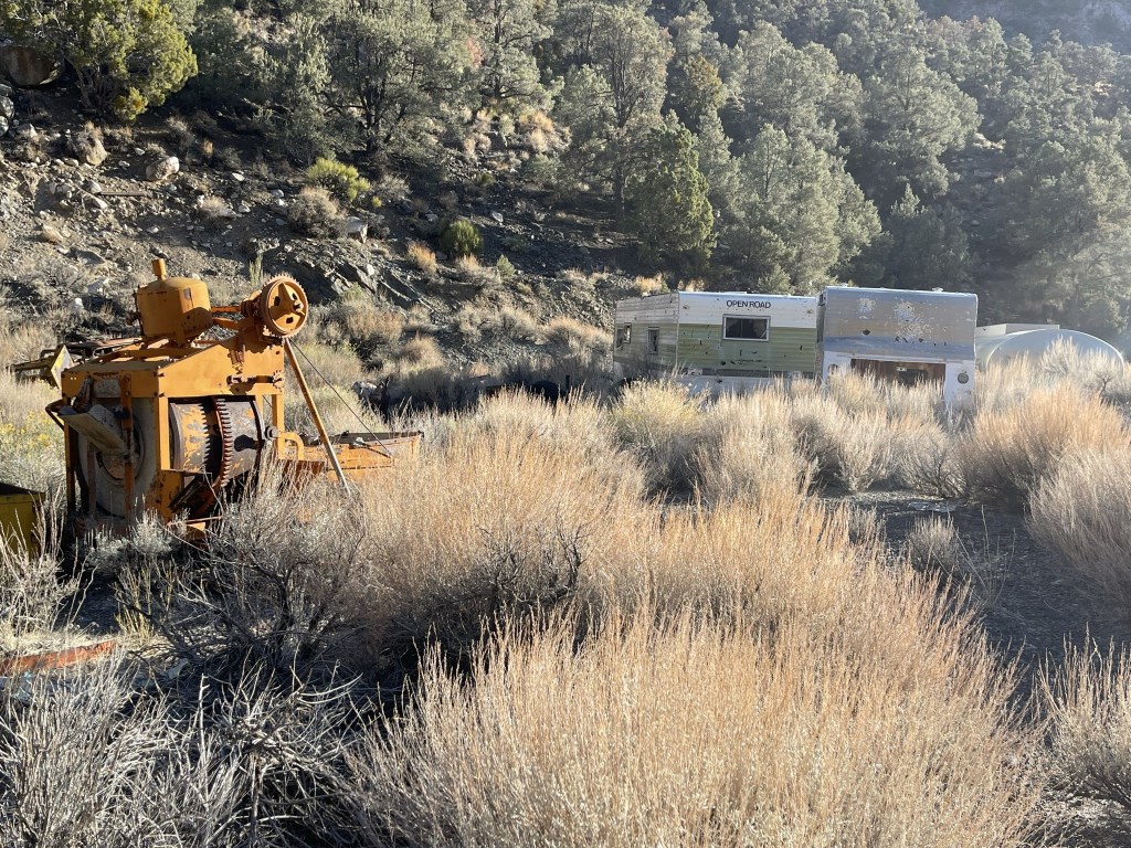
There was lots of old junk laying around.
Here is a view of the town from above:

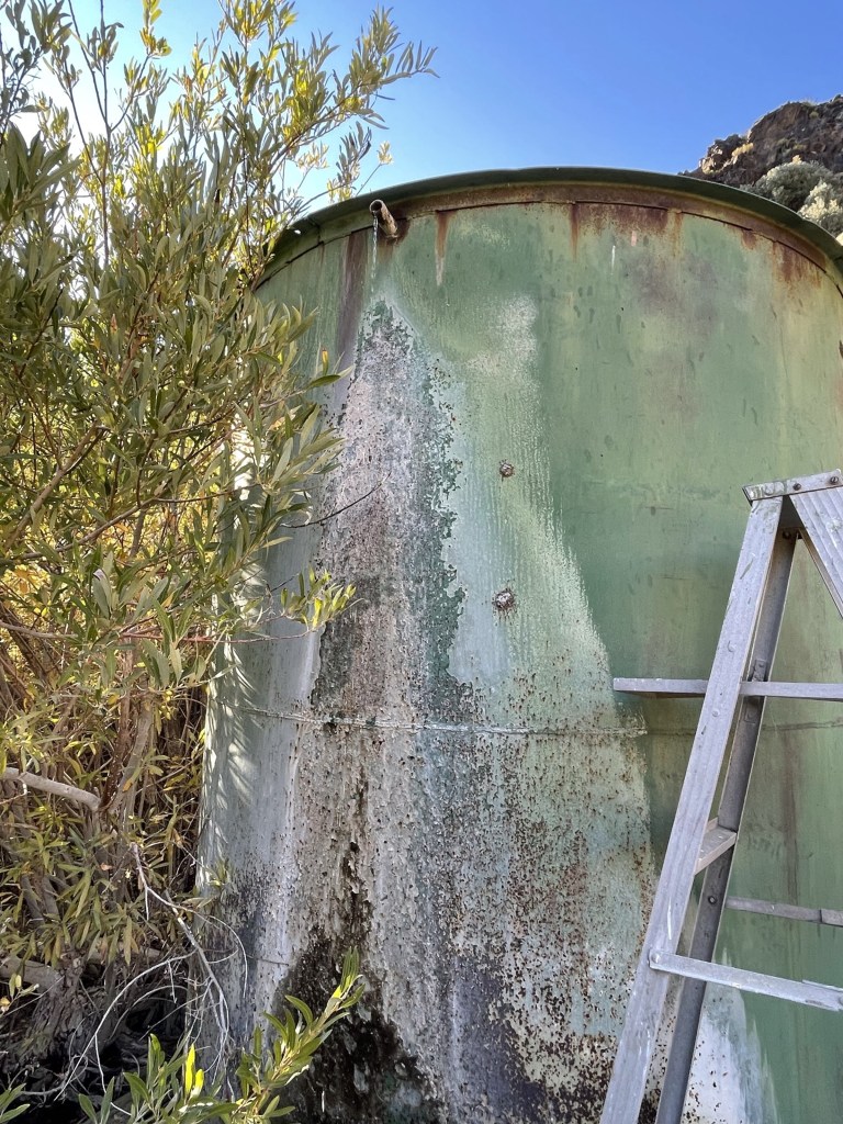
I was out of water, so I hiked about a quarter mile beyond the eastern end of town and found a large water tank. A pipe from the tank was slowly dripping water so I climbed up onto a nearby ladder to fill up.
I set up my camp on the eastern end of town.
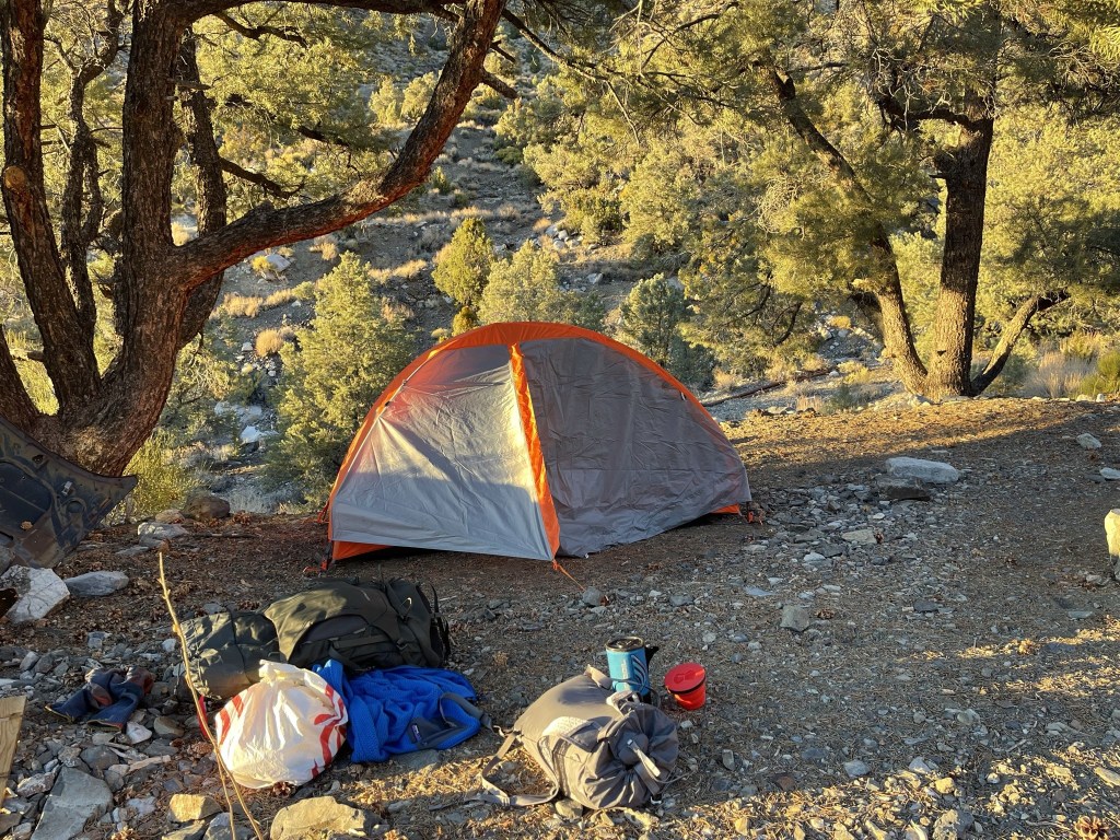
I made dinner and then relaxed a bit before going to bed. I went to sleep early since I was planning to start the next day before sunrise. Totals for this day were 10.34 miles, 6545 feet elevation gain, and 8:19:29 total time.