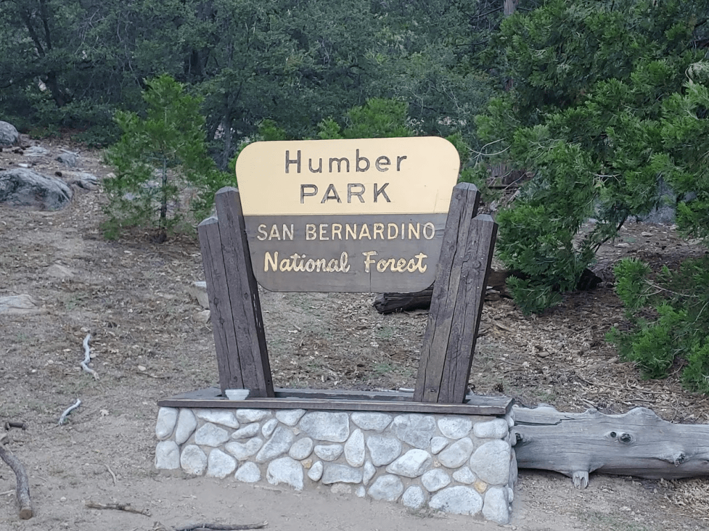
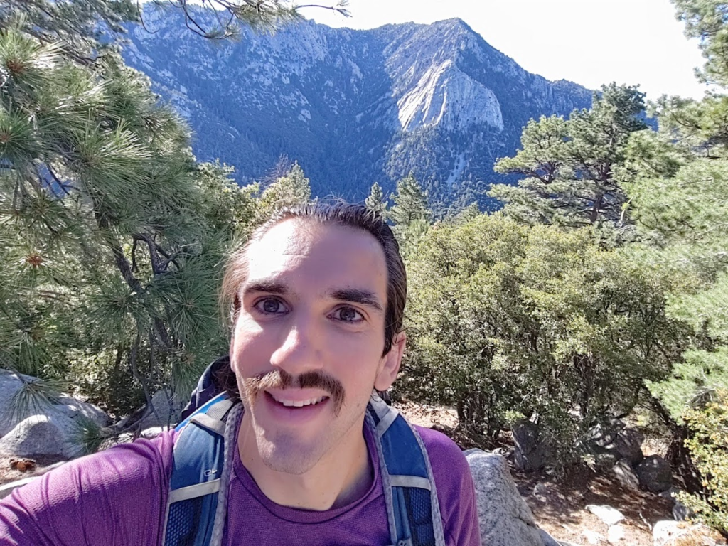
For the 2nd day in a row, I decided to head to the San Jacinto area to dayhike a few peaks. I had a nice loop planned which started from the popular Humber Park trailhead. I was planning to first climb Suicide Rock (7528 feet), which is an HPS peak, then hike cross country to the Deer Springs Trail which I would take to the PCT, then climb the San Jacinto Wilderness High Point (9220 feet), then Cienaga Peak (9144 feet), then descend the Devil’s Slide Trail. Humber Park is a very popular trailhead for both hikers and rock climbers, so it was already pretty full when I arrived around 7am, but I managed to find a nice parking spot. I started hiking at 7:03am from 6436 feet.
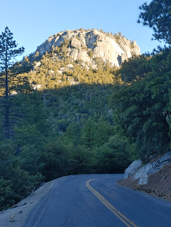
I first had to walk back down the road a short way to get to the climbers trail. Suicide Rock looked very impressive from the road.
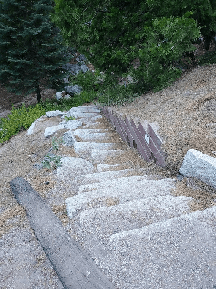
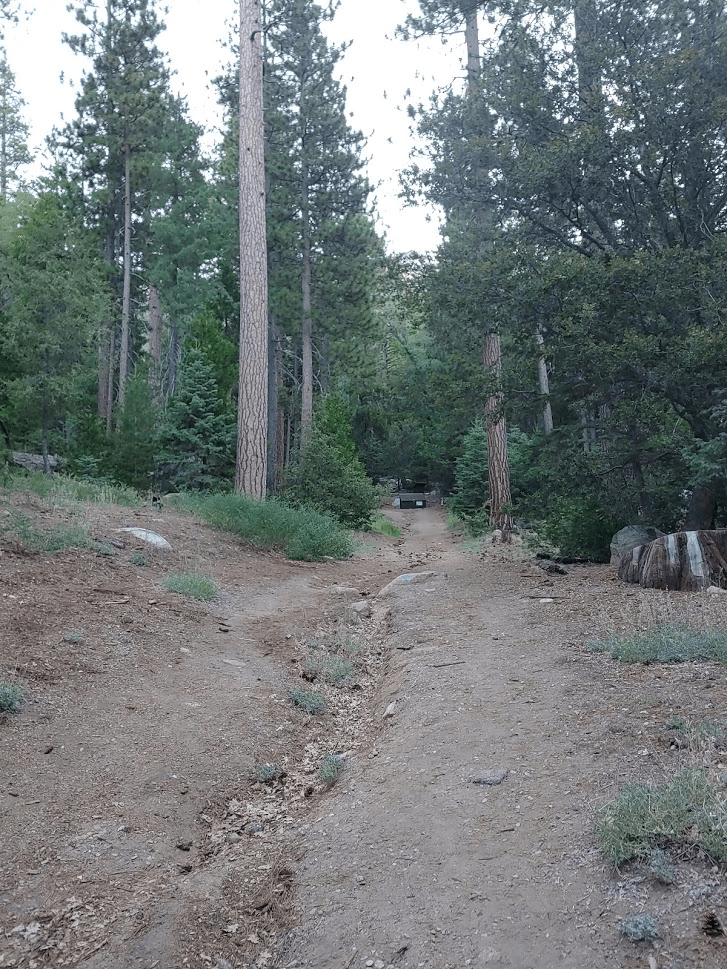
At 0.4 mile I left the road and climbed down some stairs to the right.
I crossed over a small creek called Strawberry Creek.

This short trail led to another road called Forest Haven Drive. I went right and walked up the road past some water towers. At 0.6 mile the road forks. I took the narrow road to the right. The pavement ends shortly after this.
The road turns into a single track trail and makes a sharp left. At 0.9 mile I passed a sign indicating the trail is not maintained past this point.
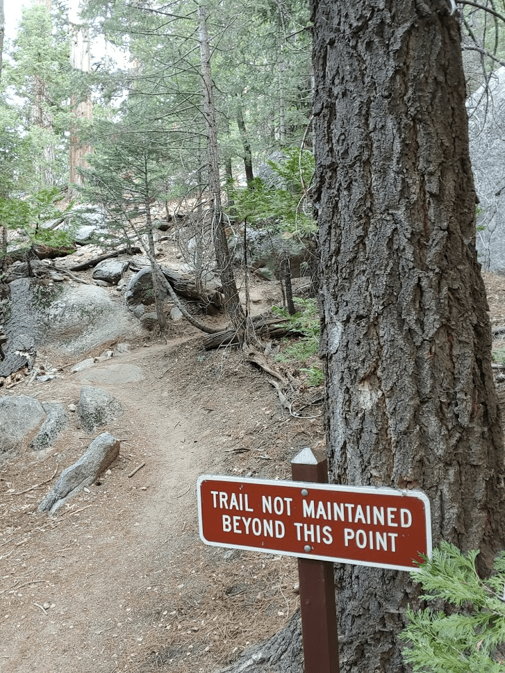
The trail became much steeper past this point. Despite the sign, the trail was fairly wide and easy to follow.
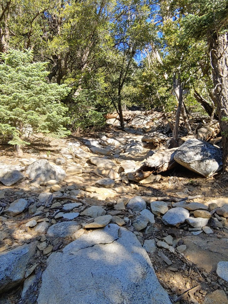
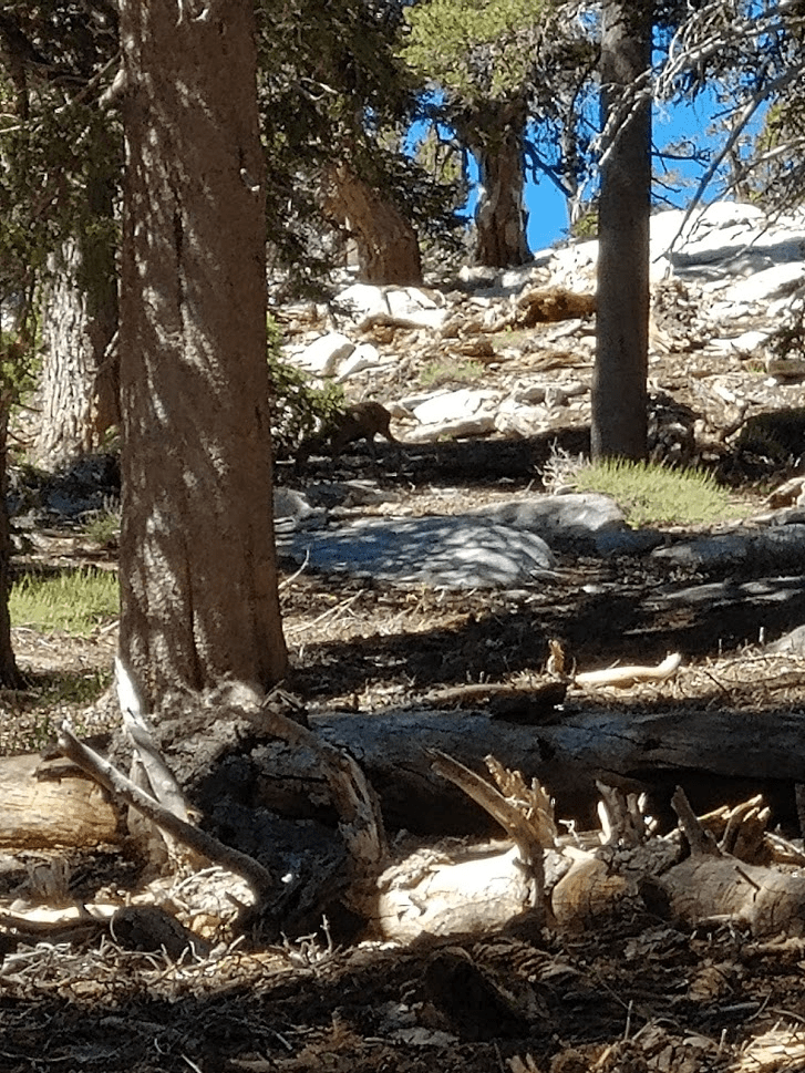
I eventually reached a point underneath the large granite slabs that make up Suicide Rock’s summit area.
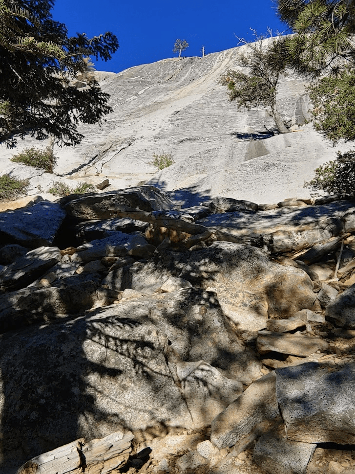
From here, the trail became a lot harder to follow. There was a lot of class 2 climbing as the route goes north and then west around the slabs.
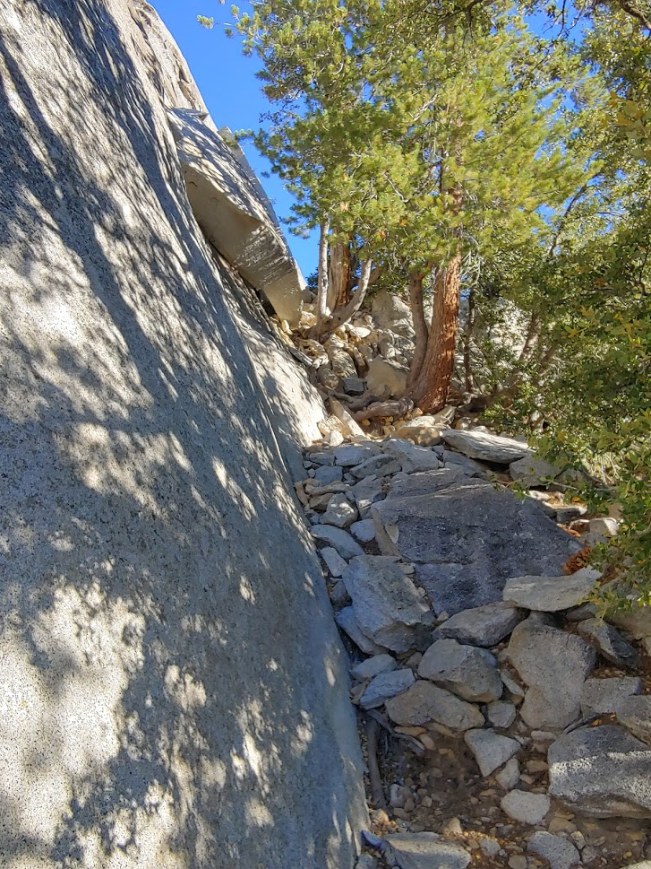
Just beneath the summit, I joined the Suicide Rock Trail, which is the standard route up Suicide Rock beginning from the Deer Springs Trailhead.

The trail led almost all the way to the top, requiring just a short scramble to get to the summit. I reached the top at 7:53am at the 1.65 mile mark.
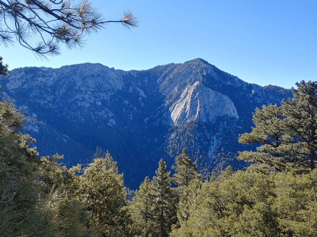
I signed the register and had a quick snack. There weren’t any views on the summit due to tree cover, so I hiked back down to where the trail ends. This area is right above the granite slabs and is an excellent viewpoint. Tahquitz Peak looked very impressive across the valley. Tahquitz was the first peak I climbed after purchasing my new Subaru Forester back in November. The rock feature in the middle of the mountain is Lily Rock (sometimes called Tahquitz Rock). Lily Rock is a very popular rock climbing objective.
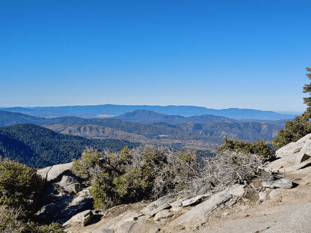
I also had an excellent view southwest towards the Anza Valley and Palomar Mountain. I could just make out the small white dot of the Palomar Observatory.
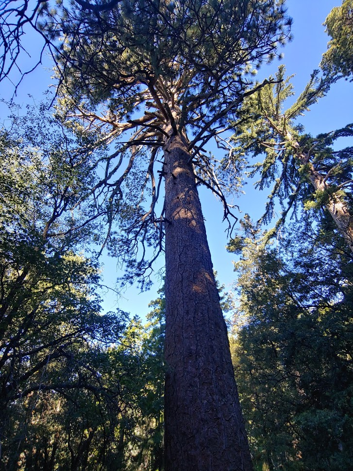
After I was done taking pictures, I continued hiking. I followed the Suicide Rock Trail as it heads west. I was impressed by the large pine trees in the area.
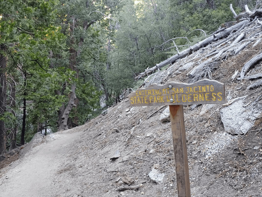
At 2.43 miles I crossed into Mt San Jacinto State Park.
Shortly after that I crossed another creek. I then left the trail to head cross country towards the Deer Springs Trail. The trail I was on eventually meets up with the Deer Springs Trail much further south, so staying on trail would have added a couple extra miles. This part was very steep.

About halfway between the 2 trails, I slipped on some pine needles and fell face first. My left leg happened to fall directly on a branch that was sticking straight up. I fell right on it with the full force of my weight, right above my left knee. OUCH! It hurt really bad and took me a couple minutes to regain my composure. I didn’t think too much of it – I’ve slipped and banged my knee against rocks plenty of times before and it usually hurts pretty bad for a few minutes and then goes away. Unfortunately, I was still only halfway up the steep slope I was on. I managed to reach the top, but I was really in a lot of pain. Shortly after that I reached the Deer Springs Trail at 2.92 miles.

I was glad to be back on the trail after my mishap. My leg hurt but I was still expecting it to get better in the next 10-15 minutes. At 3.83 miles I reached Strawberry Junction.

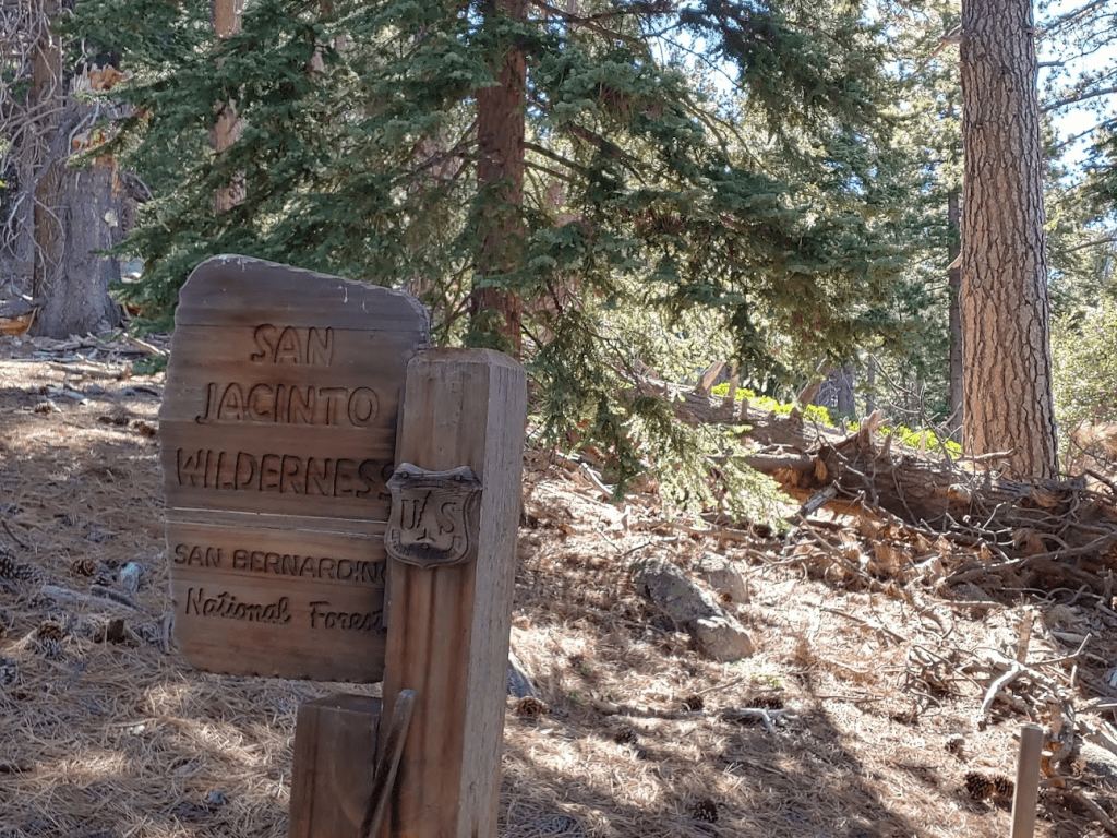
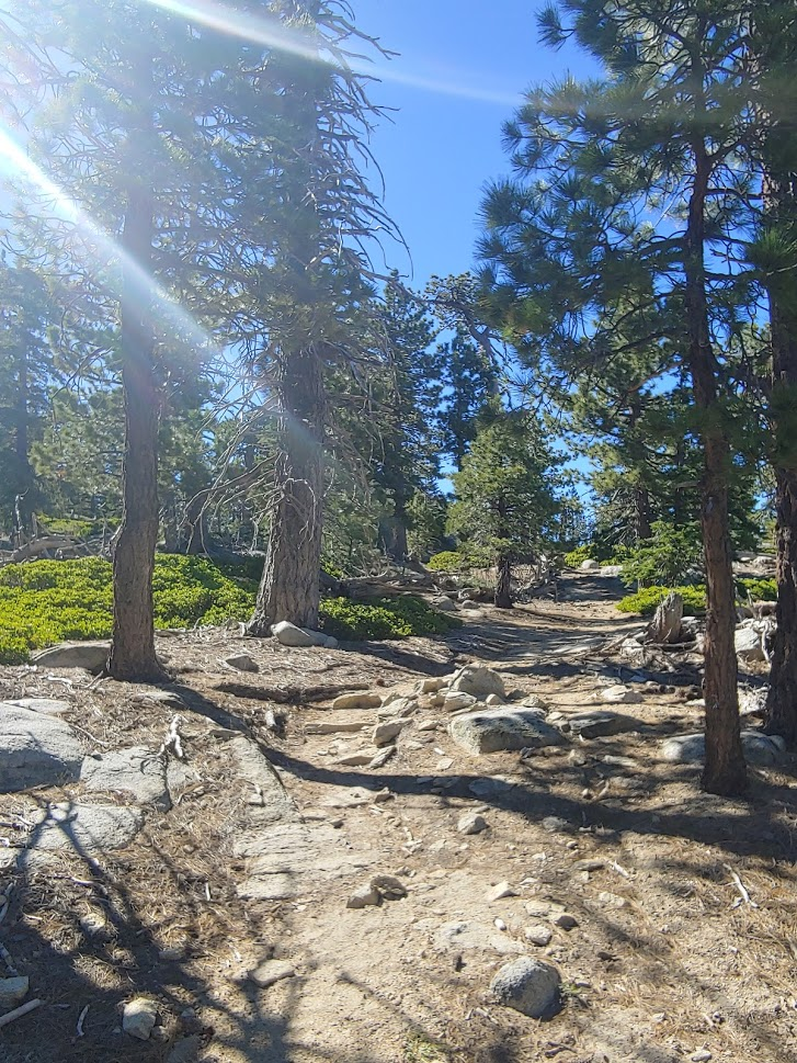
I turned right onto the PCT. At 4.19 miles I crossed back into National Forest land.
I had now hiked over a mile since my fall and my leg wasn’t feeling any better. Every step was painful. I seriously considered turning around but I was now only a mile from the halfway point of the loop, so I decided to keep going.
At 5.45 miles I reached the turnoff for the wilderness high point. I was discouraged to find out that I was only at 8645 feet, which I meant I had about 600 feet to climb to the summit in a very short distance. To make it worse, the hillside was covered in thick brush. This wasn’t going to be easy on one leg. I barely made it past 8700 feet when I decided to turn around. This steep, brushy hillside would have been difficult on 2 healthy legs, so I decided it just wasn’t practical or safe to continue. Also, I realized that I was absolutely miserable at this point. I’m so used to pushing my body as far as it will go, that I sometimes forget that hiking is a hobby and if I’m not having fun then I’m doing something wrong. I reluctantly climbed back down to the trail. I had a decision to make at this point – I was pretty much at the halfway point in the loop so I could either go back the way I came, or I could complete the loop. I decided to complete the loop, since the rest of the route I had planned was all on trail and would be easier on my leg than the way I came.
I didn’t take many pictures or notes the rest of the hike since I was just focused on getting down and also in a pretty bad mood. I did see 2 deer while on the PCT which was pretty cool. I managed to get a picture of one of them.
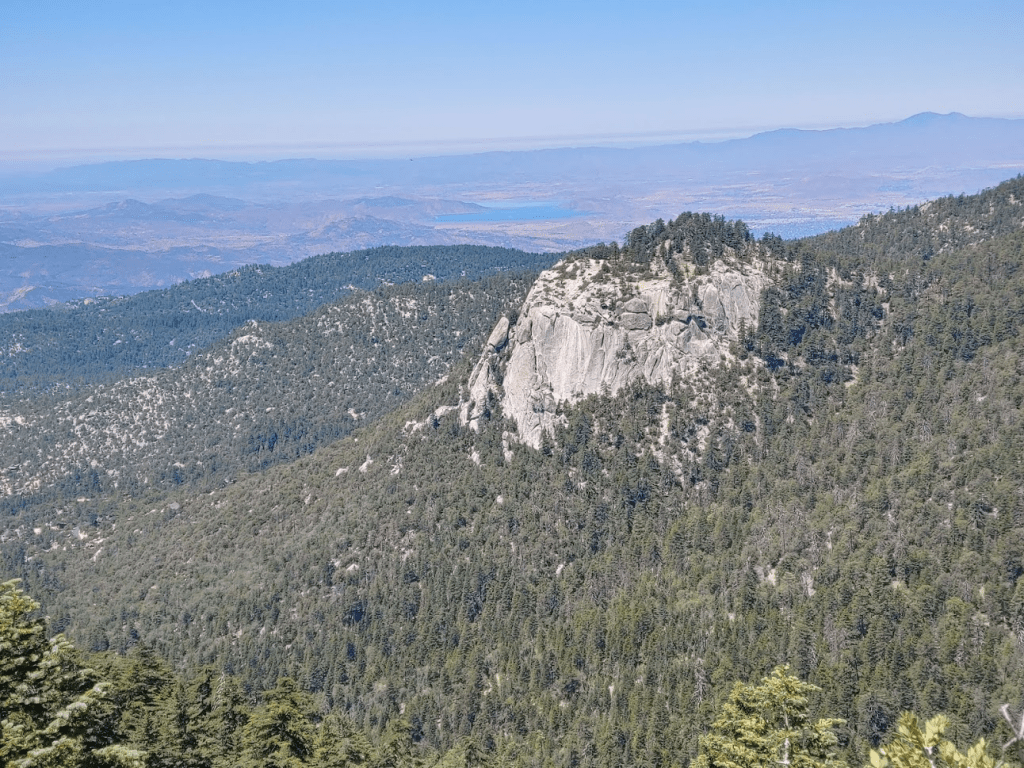
The Devil’s Slide Trail was pretty crowded. I passed 15-20 hikers on this part of the route. The Devil’s Slide trail is a popular route up Tahquitz Peak from Humber Park. I got a great picture of Suicide Rock from this trail.
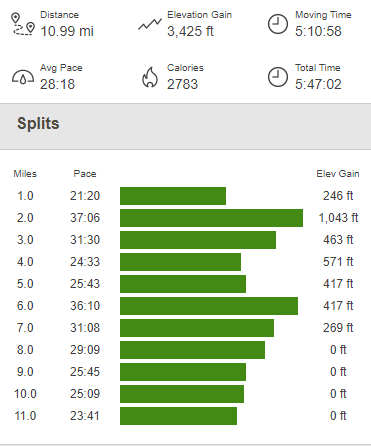
I reached the car again at 12:50pm. My leg hurt a lot during the descent, but it was tolerable. I realized that I hiked over 8 miles from the point where I fell. I definitely needed a few days off after this hike! Totals for the day were 10.99 miles, 3425 feet elevation gain, and 5:47:02 total time.

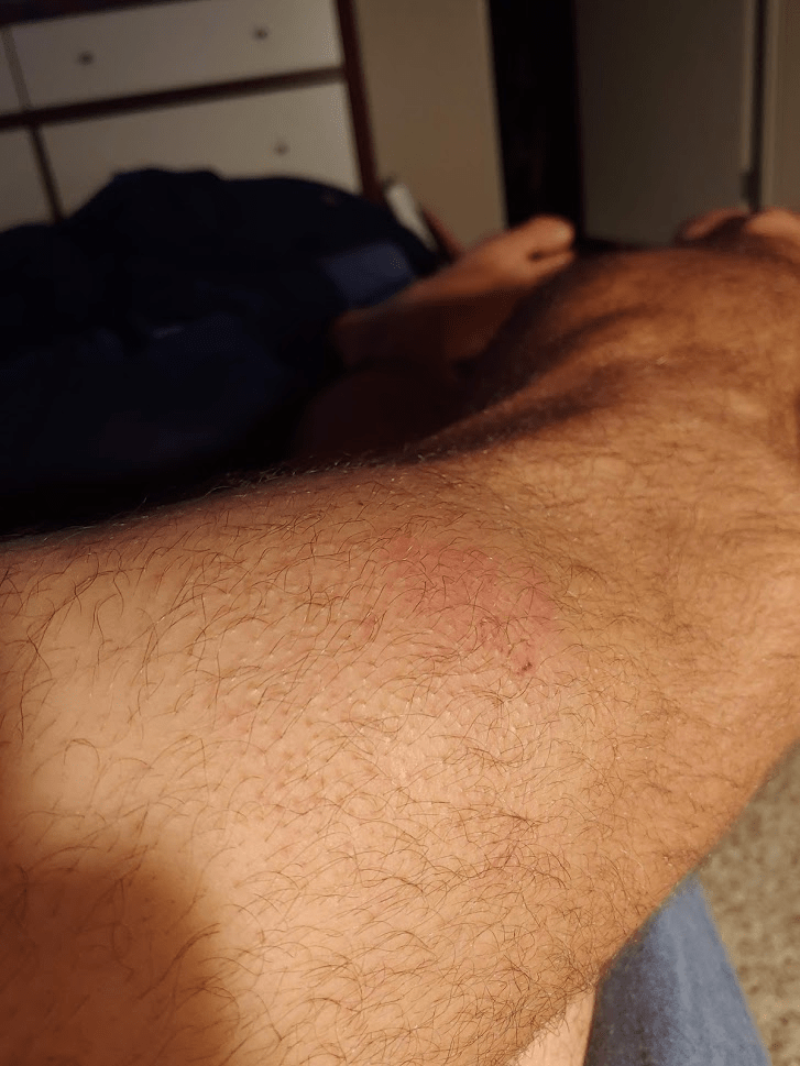
Here is a picture of my leg from later that night: