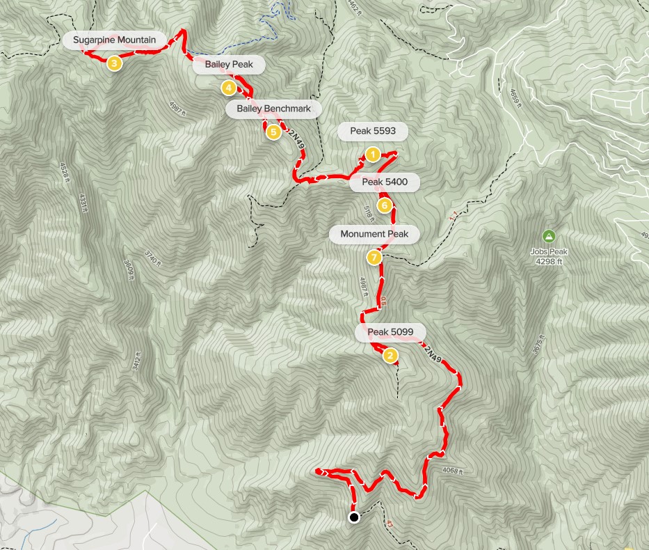
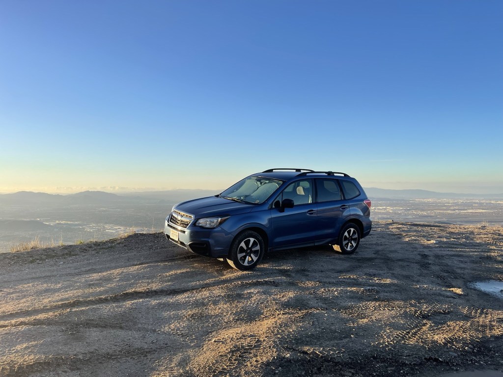
I decided to spend the first day of 2022 by climbing a cluster of HPS peaks in the Cajon Pass area in the foothills of the San Bernardino Mountains. Cajon Pass is the mountain pass that divides the San Bernardino and San Gabriel ranges and is also the route that Interstate 15 takes on its way to Las Vegas. The 4 HPS peaks I intended to climb were Monument Peak (5290 feet), Bailey Peak (5699 feet), Sugarpine Mountain (5478 feet), and Cajon Mountain (5360 feet). The route would primarily be on dirt forest roads which is pretty uninspiring, but I was anticipating a few inches of snow which would definitely add some excitement to the hike. I got up early and made the 2 hour drive towards Cajon Pass. From I-15, I exited at Palm Ave and drove northeast for a mile or 2 until the pavement ended. I could have started hiking from here, but the entire route would have been around 26 miles. I instead drove 3 miles up Forest Road 2N49 (Bailey Canyon Road) in order to shave 6 miles from the total. I parked and began hiking at 7:25am from 3606 feet above sea level. It was 36 degrees.
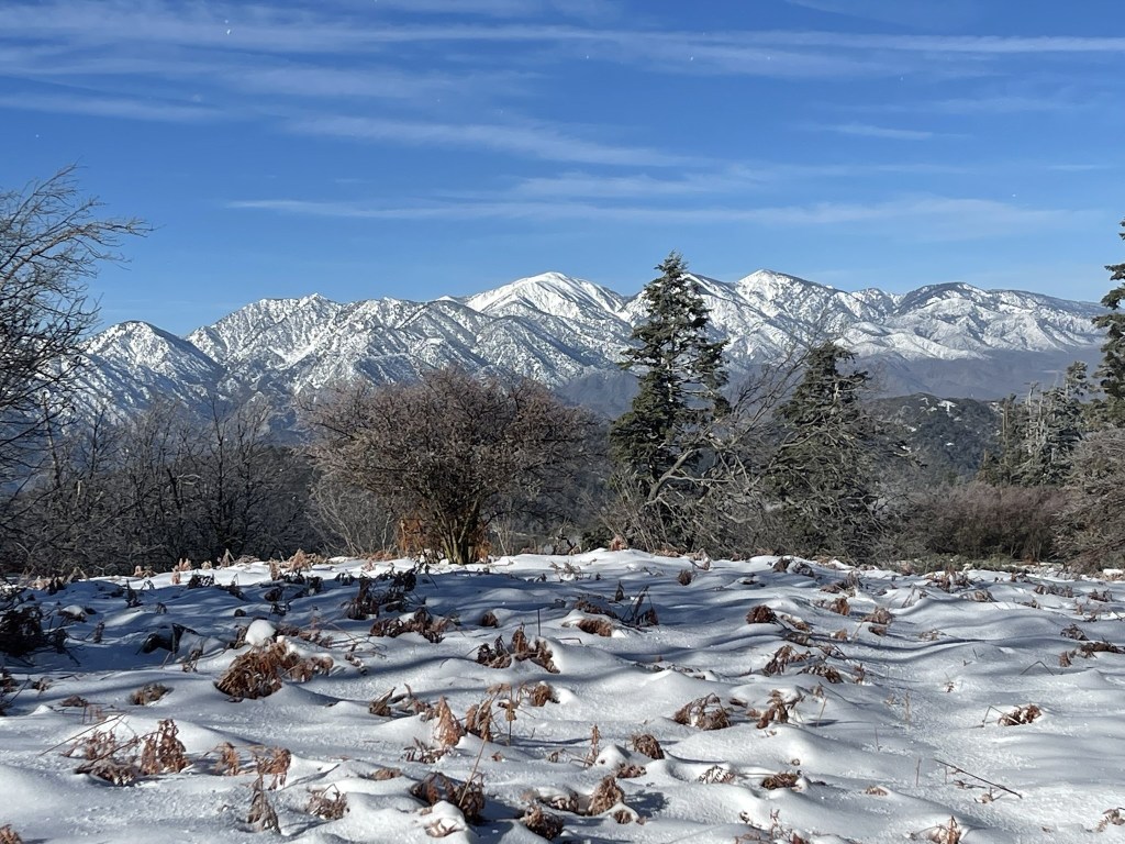
I had a fantastic view of the snow covered San Gabriel Mountains right away.

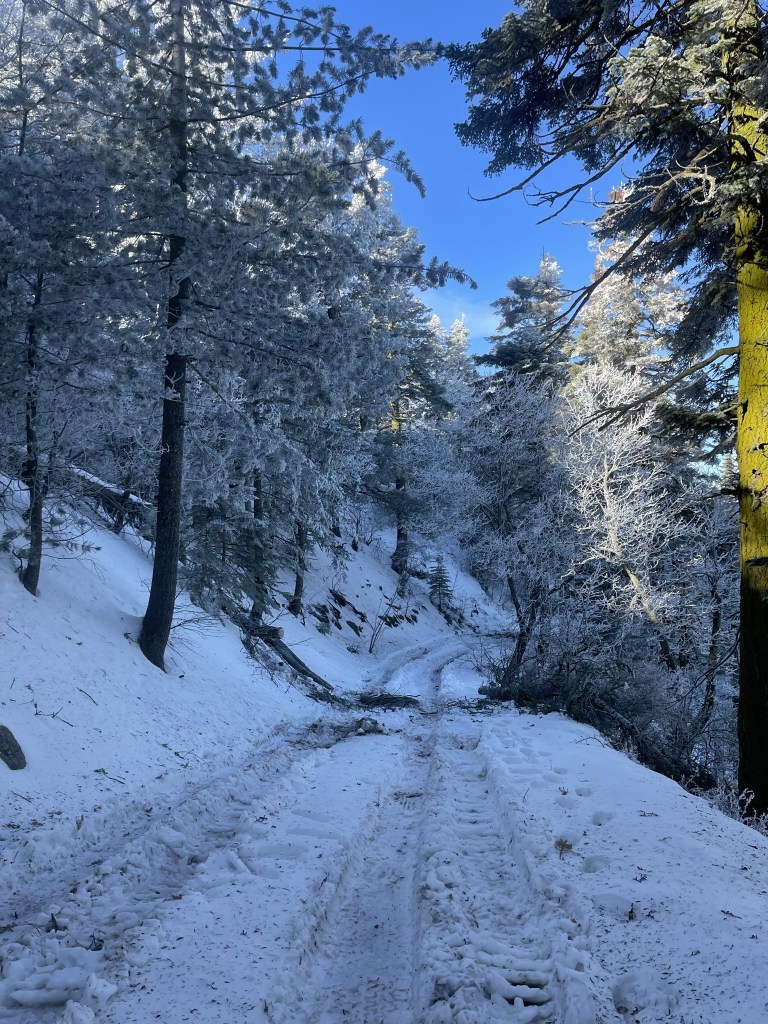
I made my way up the dirt road as it steadily climbed to the north.

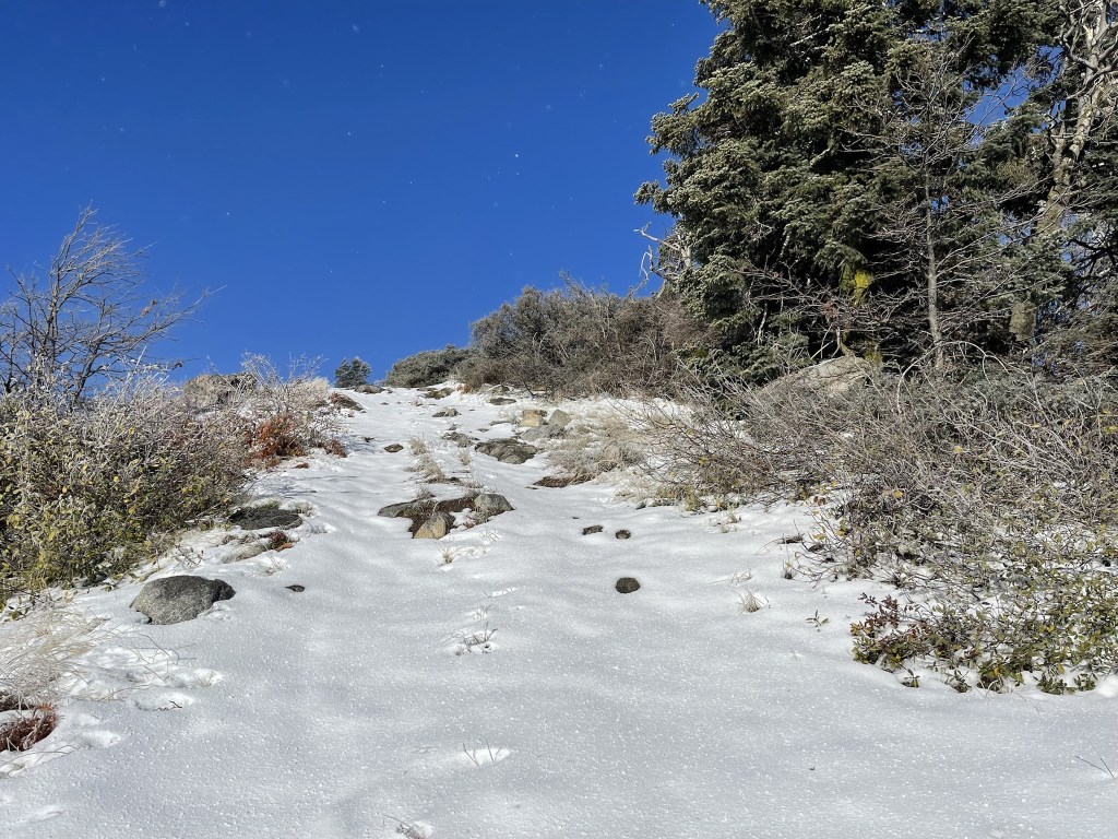
I started to see snow patches around the 4500 foot level.
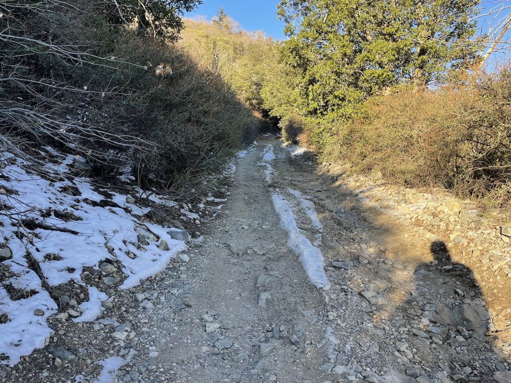
There was more and more snow the higher I climbed.

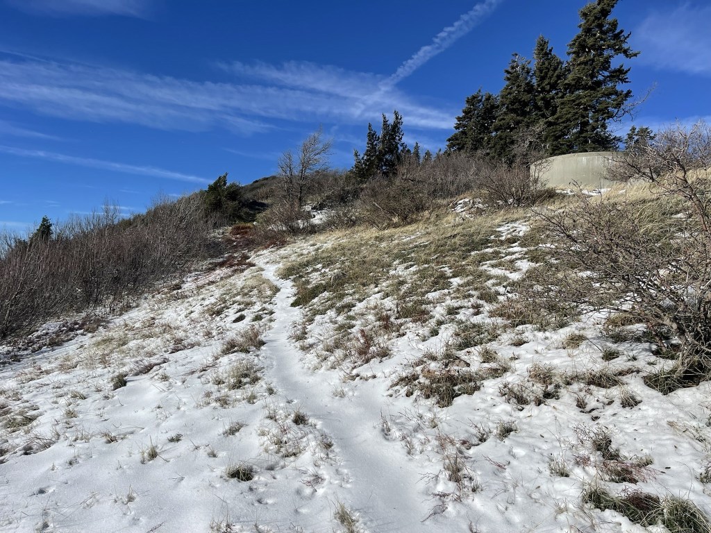
I soon reached the little spur road that led up to Monument Peak.

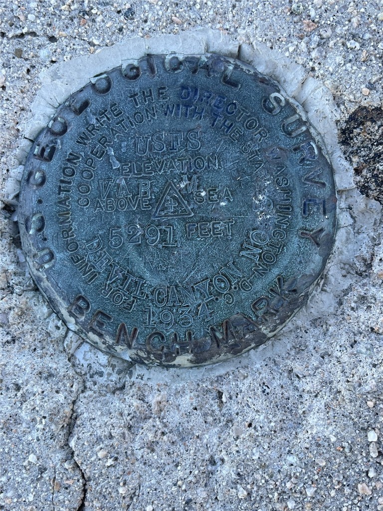
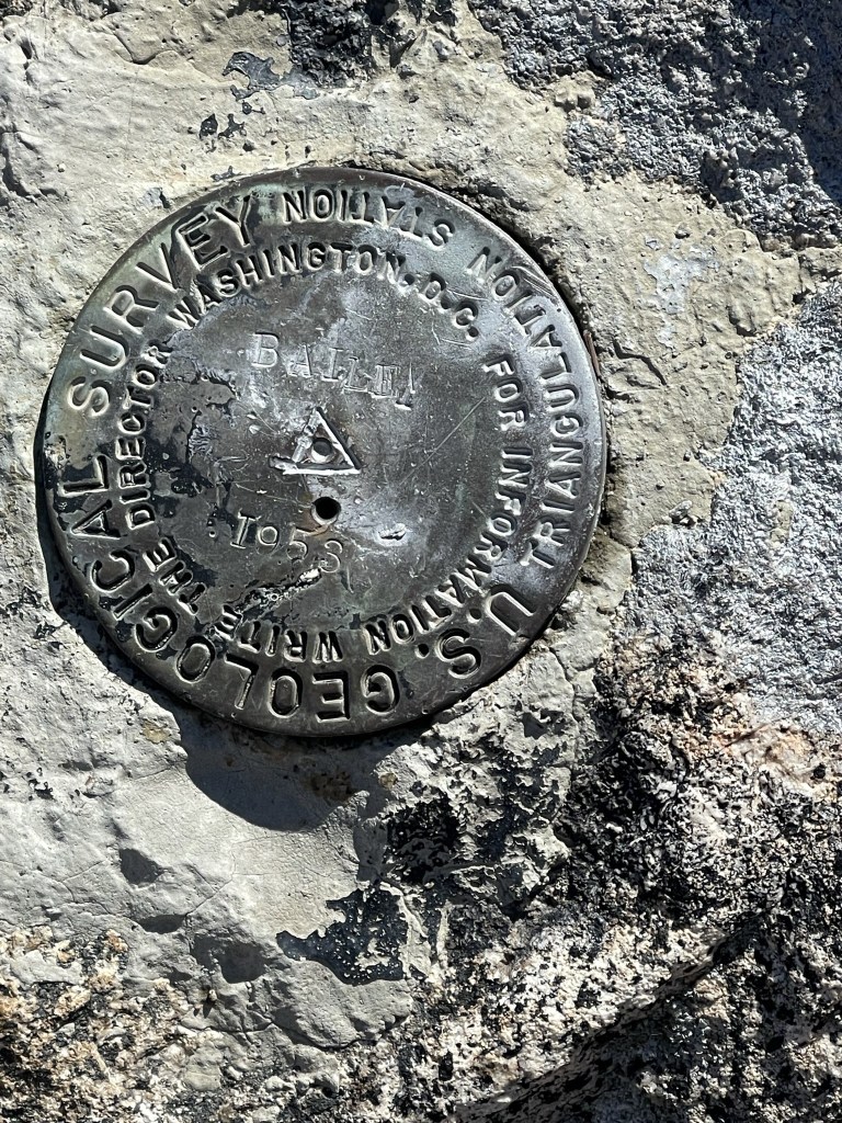
I reached Monument Peak at 8:27am at 2.9 miles. There was a large plaque on a big concrete block.

There was a benchmark on top of the concrete block.
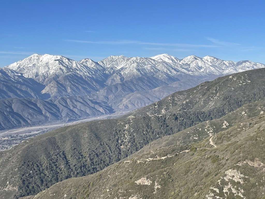
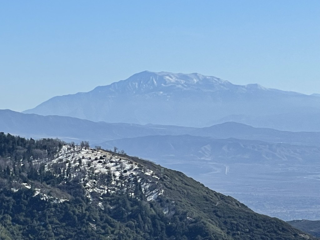
The San Gabriels looked very majestic. From left to right: Cucamonga, Etiwanda, Timber, Telegraph, Baldy, Dawson, Pine, and Wright.
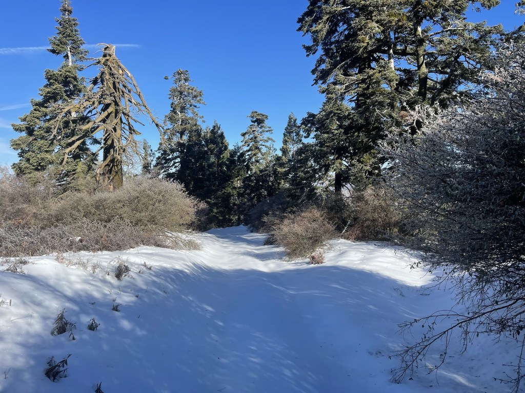
I continued on the forest road towards the next peak.

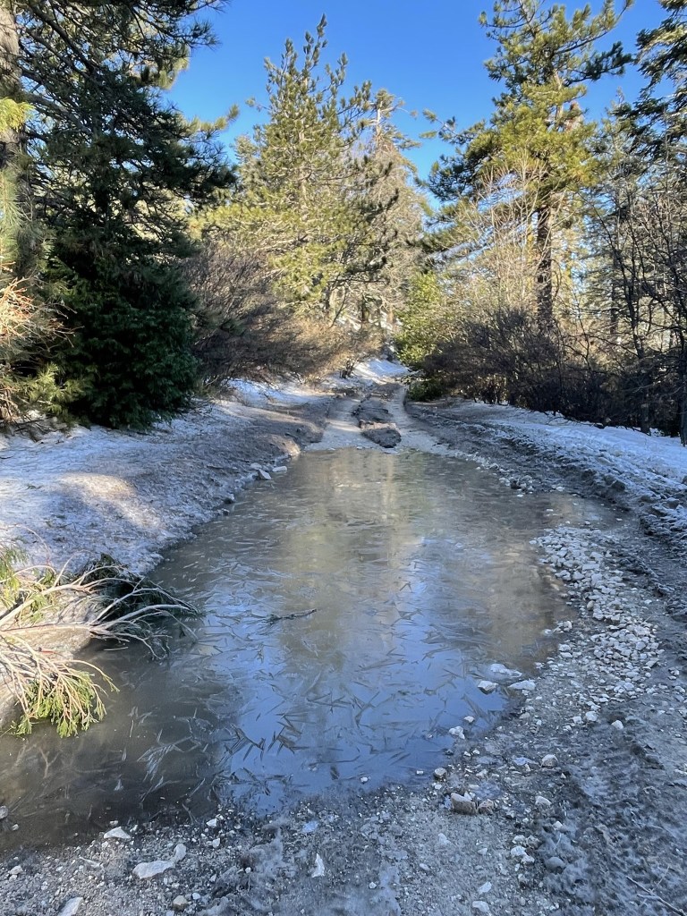
There were a couple large pools to navigate around. They were frozen in the morning but thawed out by the time I was descending.
I left the main road to hike up a little spur road to Bailey.

The spur road was steep and short.
I reached the summit of Bailey at 9:09am at 4.7 miles. I did not locate a register, but it certainly could have been buried in the snow. Once again, I had a great view of Mount Baldy and the surrounding peaks.
At this point it was cold enough that the tubing for my hydration reservoir had frozen up. I was a little annoyed at myself for not anticipating this, but I didn’t think much of it at the time. I shoved the tube inside my pack which I figured should thaw it out pretty quickly. As I was hiking to the next peak, I noticed my butt felt kind of wet, but I initially thought it was just from sitting on the snow while I was having a snack. A minute later, my pants were completely soaked, and I realized I was leaking water out of my pack. It turned out that the mouthpiece had come off when I put the tube inside the pack, and I had lost nearly the entire 3 liters of water that was in there. Thankfully I still had an additional liter of water in a bottle, but I doubted whether that was enough for the whole 20 mile hike. I made the tough decision to continue to Sugarpine but then turn around instead of going all the way to Cajon (which I figured was another 7-8 miles roundtrip). After dealing with all that, I continued west on the dirt road.
Eventually the tire tracks ended which made the hiking more difficult. It was cold enough that the snow was frozen, so it was more like ice skating rather than trudging through a foot of snow.
I left the road again and climbed up a use trail to Sugarpine.
I reached the summit of Sugarpine at 9:50am at 5.9 miles. Once again, I did not find a register and did not feel like digging through the snow to locate it. I then proceeded down a spur road on the other side of the summit.

I reached the main road again and turned back to descend. I decided to climb a few minor Peakbagger peaks on the way back to the car. I first climbed Bailey Benchmark, which is located just southeast of Bailey Peak.
I also climbed Peak 5593, Peak 5400, and Peak 5099 on the way back. I had a better view of the San Bernardino Mountains to the east now that the morning sun was out of the way.

I could also see San Jacinto to the southeast.
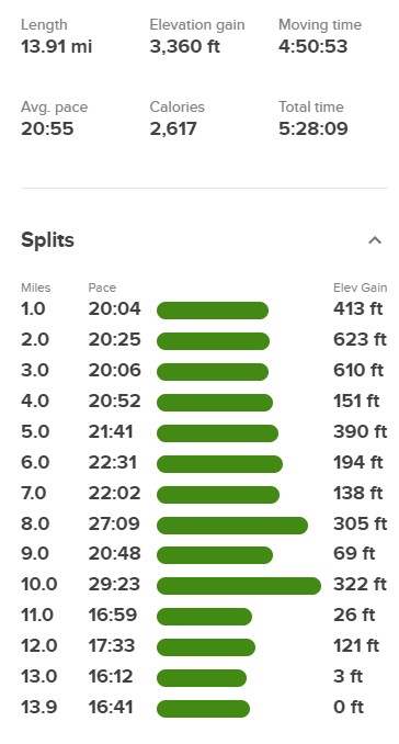
I encountered many jeeps, trucks, and OHVs on the way back which was a bit annoying. I reached the car once more at 12:54pm. Stats for this hike were 13.91 miles, 3360 feet elevation gain, and 5:28:09 total time.