Day 1
The first Southern California heat wave of the season was upon us, so my desert hiking appeared to be over for the next 6 months or so. I had taken off work on Friday, so I decided to head to the Sierra Nevadas for a long 3 day weekend adventure. The high Sierra to the north would still be snowbound for the next few months, so I settled on doing some of the lower peaks (7000 – 9000 feet) in the southern portion of the range near the Kern/Inyo county line. My plan for Friday was to climb Sawtooth Peak (8000 feet), which is on the Sierra Club Sierra Peaks Section (SPS) List. I hadn’t done much hiking in the Sierras up to this point, so I had only completed 3/247 peaks on the list (Mount Whitney, Alta Peak in Sequoia National Park, and Mount Rose near Lake Tahoe). I also intended to climb nearby Lamont Benchmark (7621 feet), which would make for a nice 13 mile hike altogether. I left around 6:40am Friday morning. As I had become accustomed to over the last month or so, I had the freeways all to myself due to the ongoing CoViD-19 pandemic. My car was packed with enough food and water for the whole weekend in order to minimize contact with civilization. My only need would be to refuel the car, so I stopped in Kramer Junction for gas on my way north. I took US-395 past the little town of Inyokern and turned west (left) onto paved 9 Mile Canyon Road. I drove 10.7 miles on 9 Mile Canyon Road as it winds its way up into the mountains before turning south (left) onto Chimney Basin Road. I drove another 4 miles on unpaved Chimney Basin Road to where it intersects with the Pacific Crest Trail (PCT). There is room for 2-3 cars to park here. The road is smooth and well graded so any car could make it to this point.
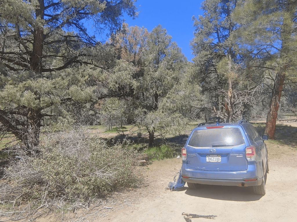
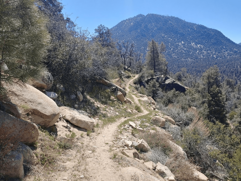
I started hiking southeast on the PCT at 11:20am from 5515 feet.
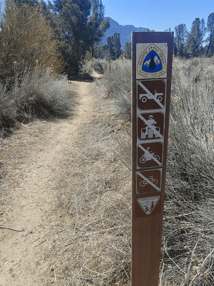
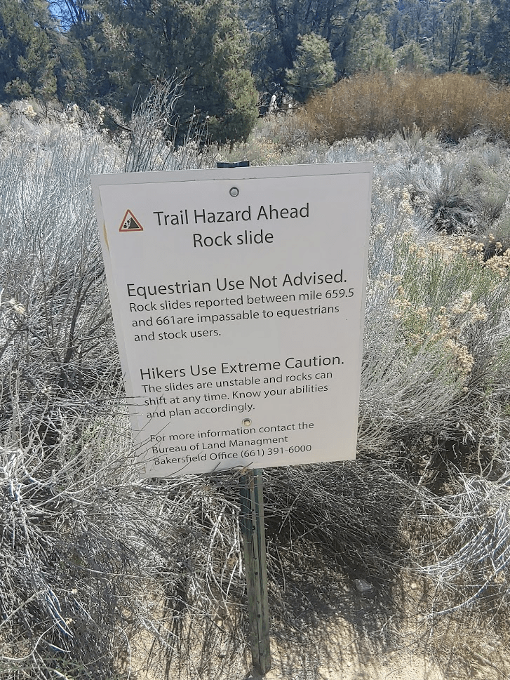
There was a sign warning horseback riders about rockslides further up the trail.
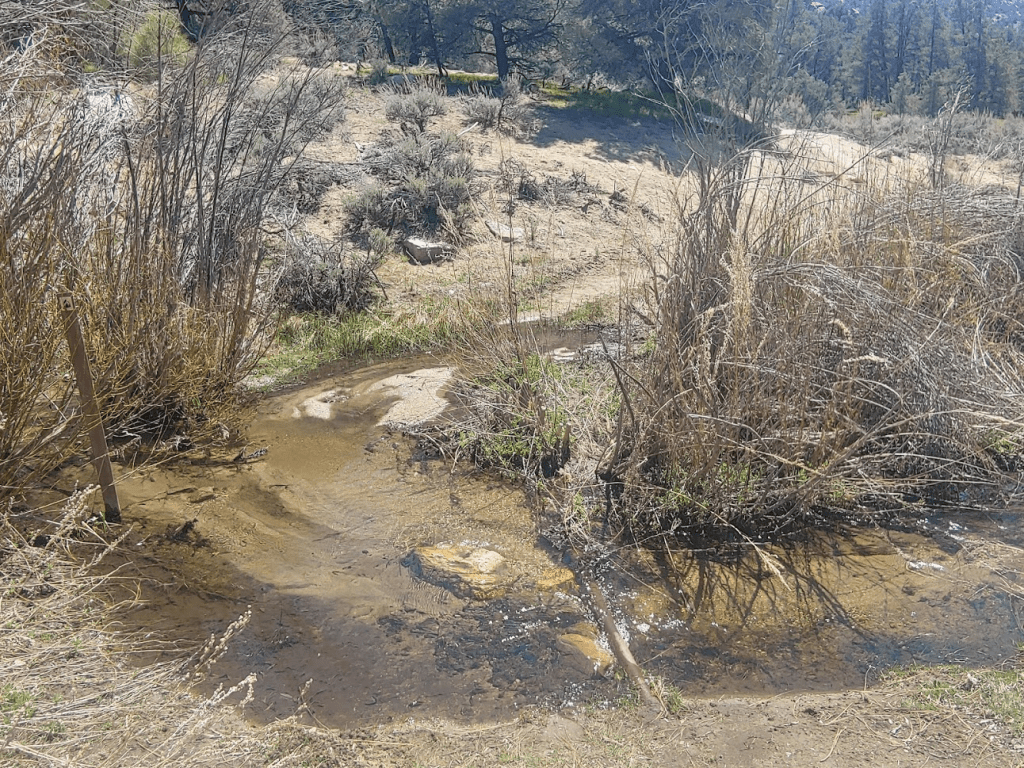
I crossed Chimney Creek shortly after starting.
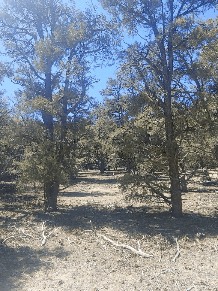
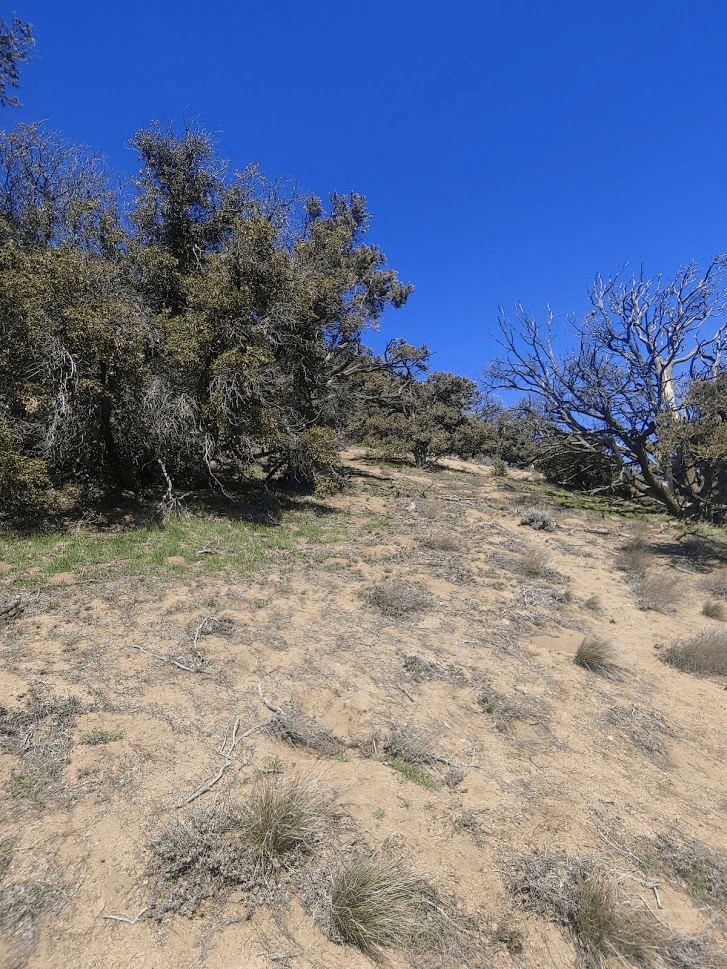
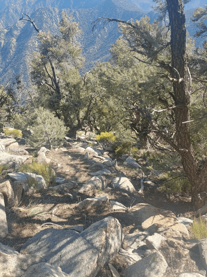
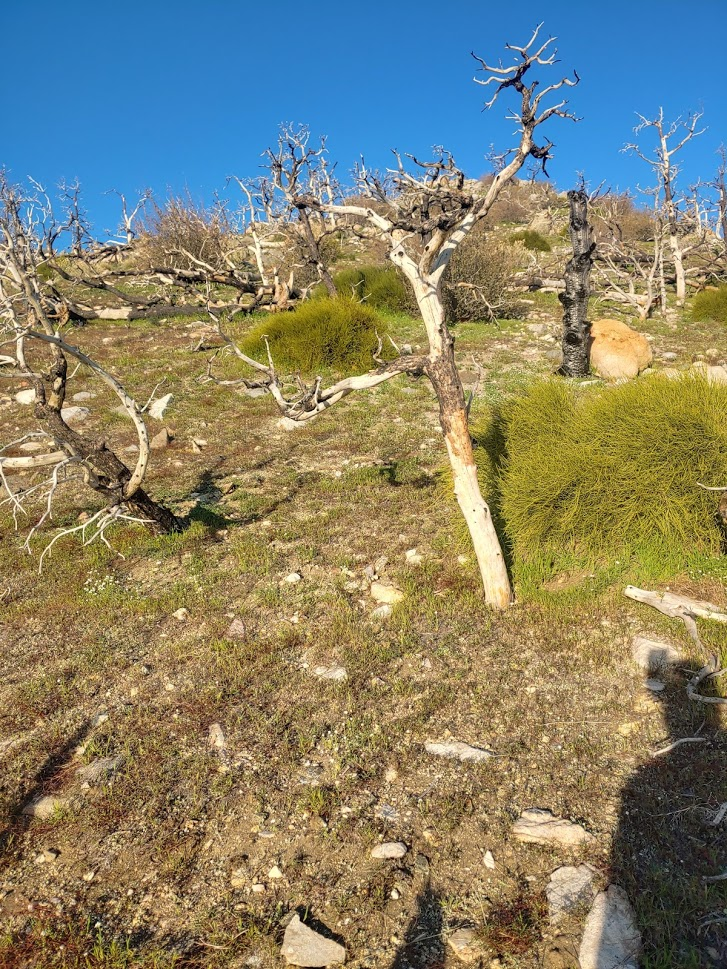
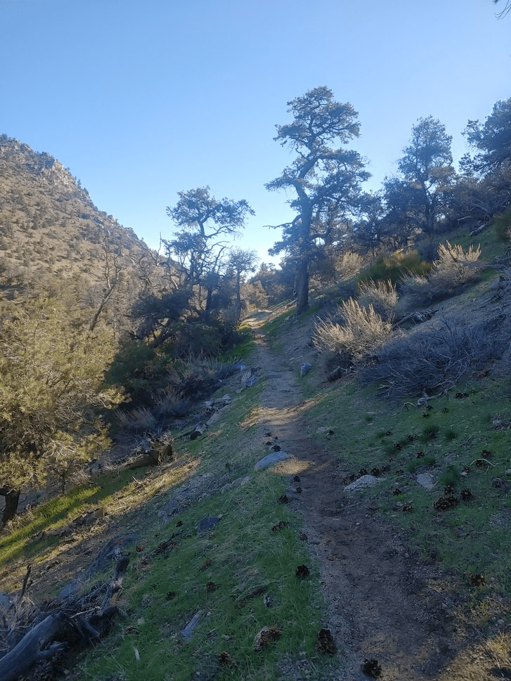
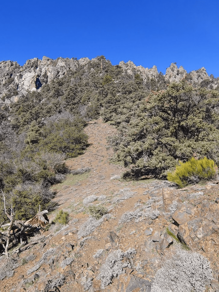
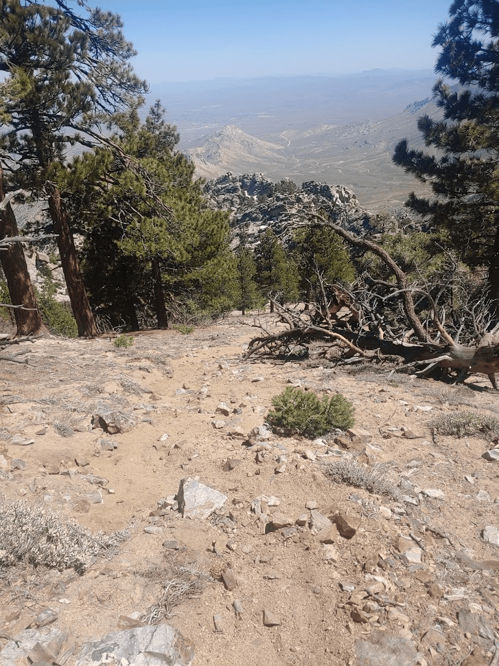
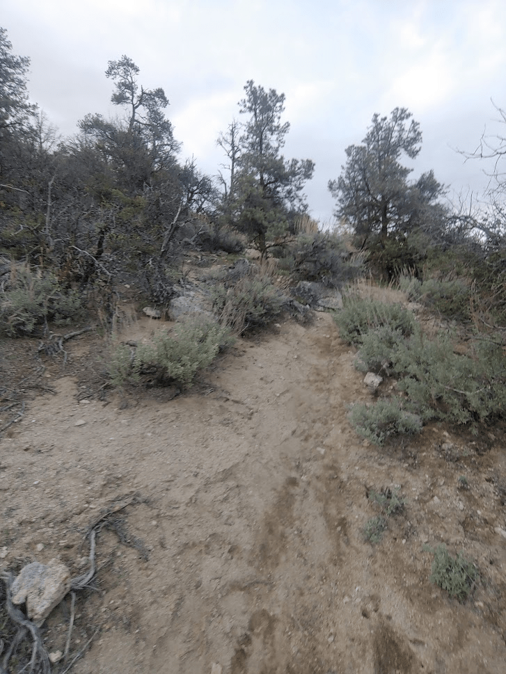
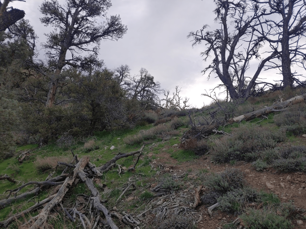
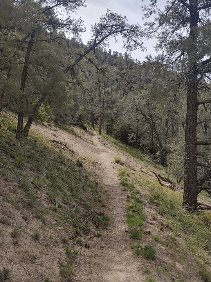
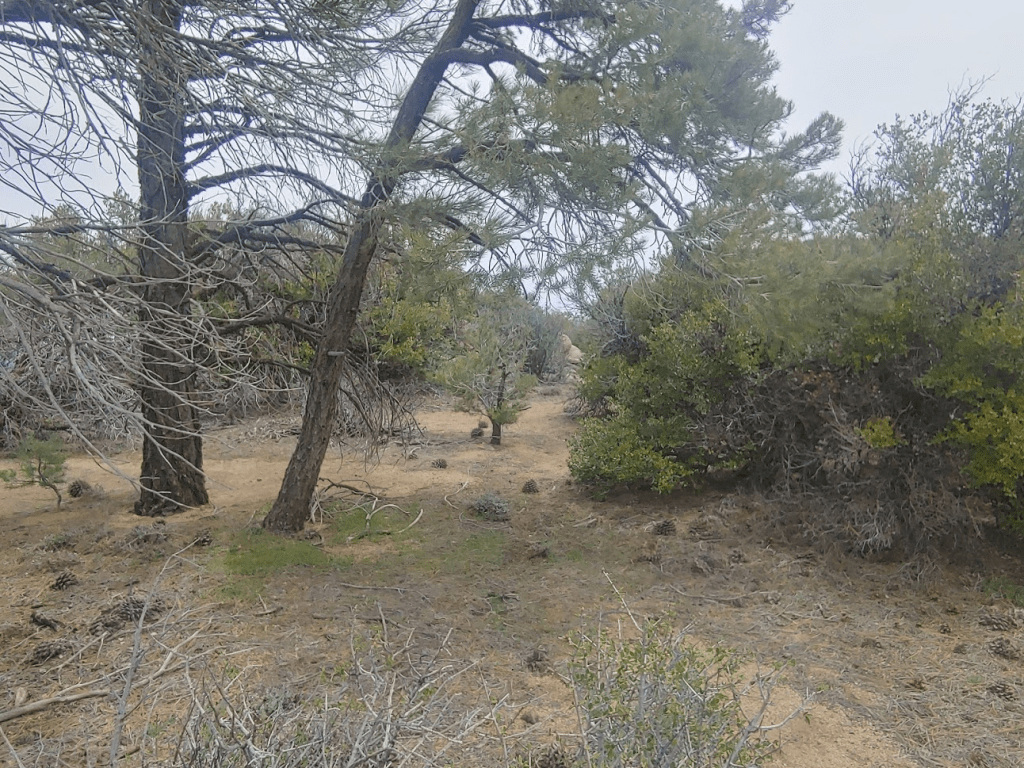
The trail wound its way gently upward through a forest of pinyon pines.
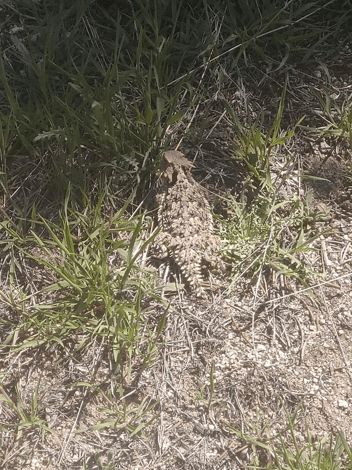
I saw this little guy just off the trail.
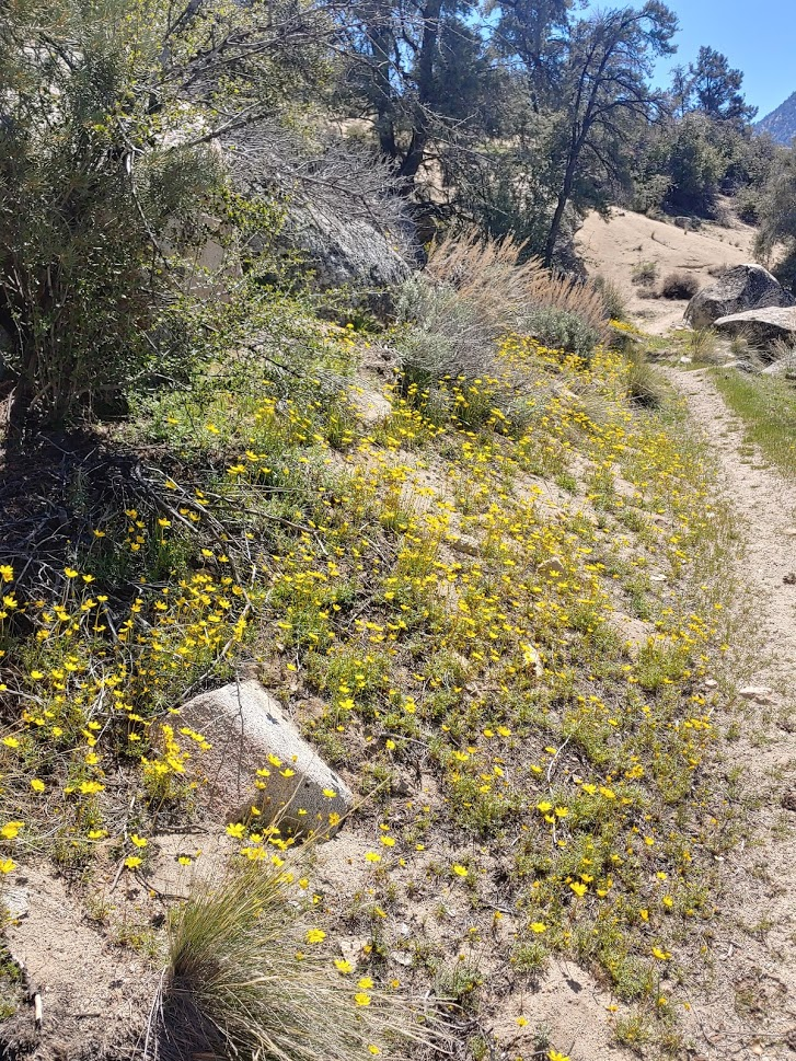
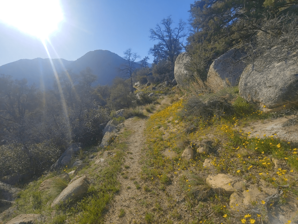
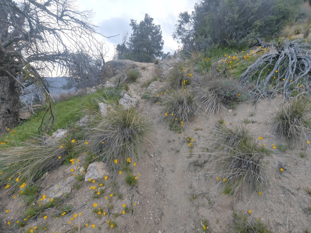
Some of the south facing hillsides were covered in pretty yellow flowers.
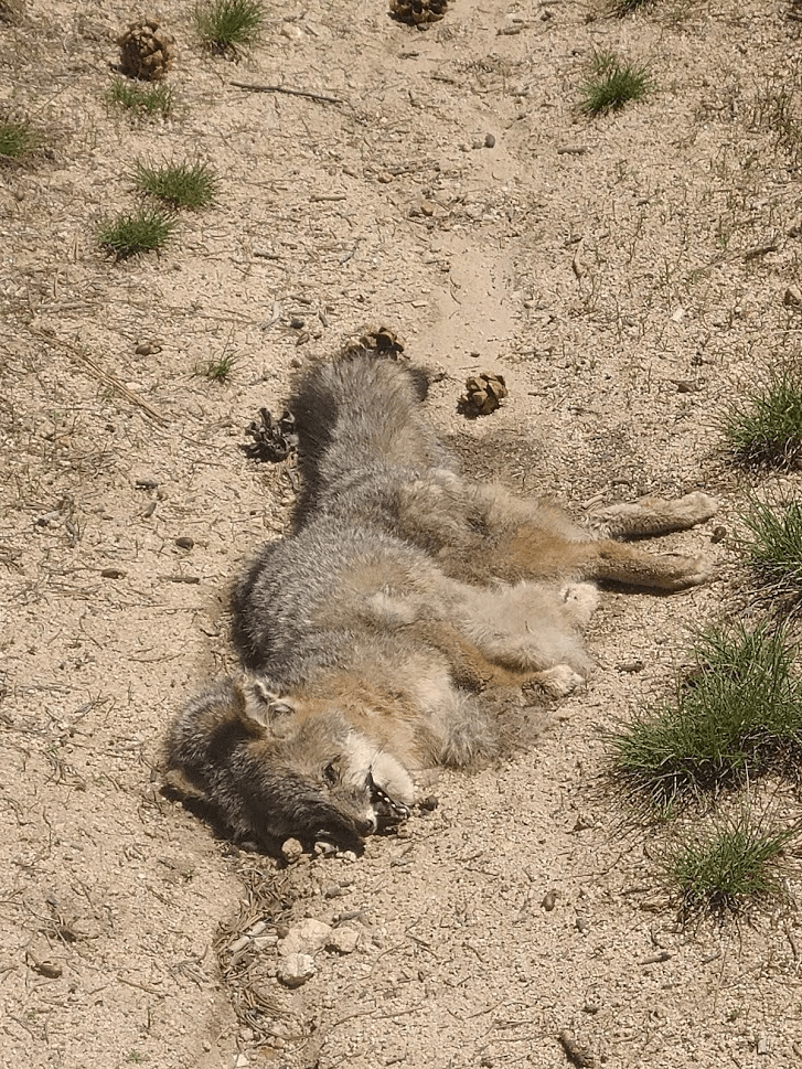
At 2.5 miles I noticed a dead animal in the middle of the trail. At first, I thought it was a coyote, but realized it was too small when I got closer. After seeing its bushy tail, I decided it was a gray fox. Live foxes are almost never seen in the wilderness since they are only active at night.
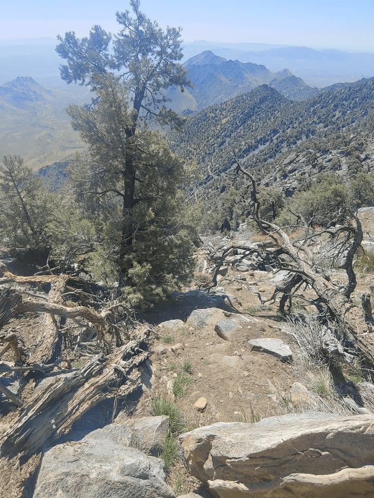
I crossed a few more streams as I continued southwest. At 3.32 miles I passed the turnoff for Sawtooth but kept going since I wanted to climb Lamont Benchmark first. The PCT makes a few switchbacks as it climbs up to a saddle just east of Lamont BM. At 4.69 miles I left the trail and began climbing directly west towards the peak. I was at 6861 feet so it would be an 800 foot climb in 0.7 mile from the trail.
This part was steep, but not too brushy as I made my way up the slope. It was pretty warm, so I really started to sweat during this part.
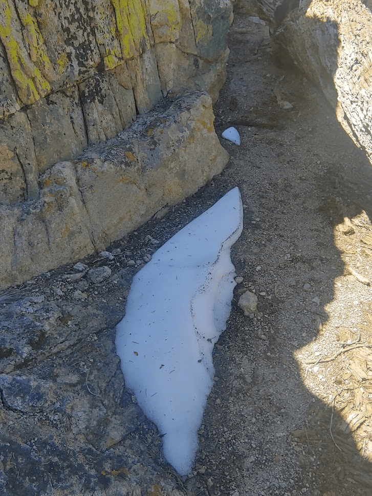
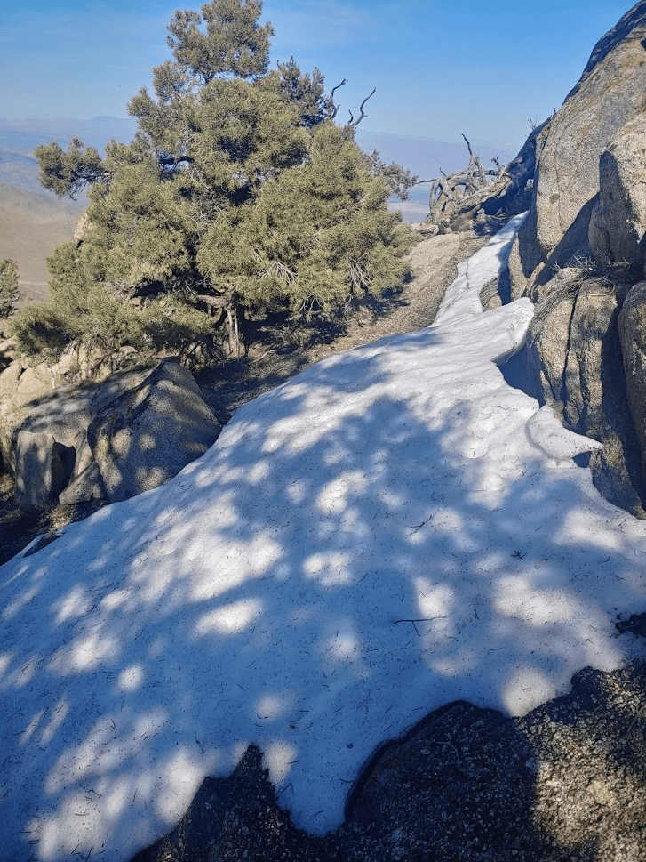
I found a small patch of snow!
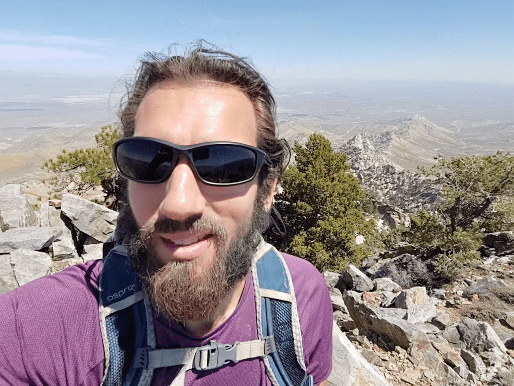
At 1:17pm I reached the summit! I had been hiking for 5.31 miles.

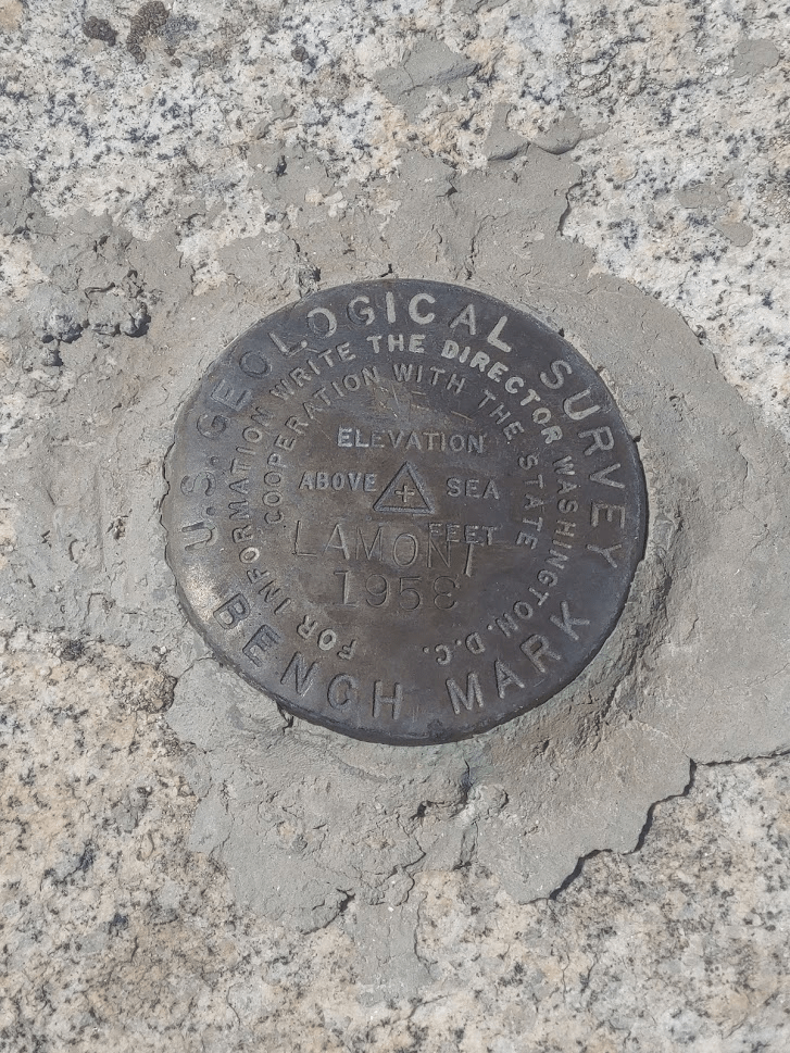
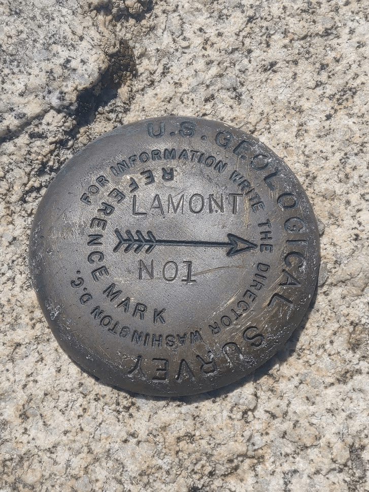
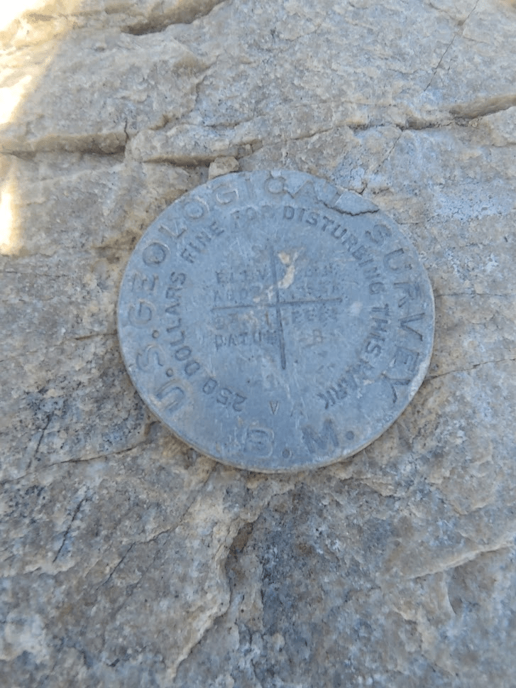
The register was in poor shape. It was really just a few scraps of paper in a jar, but I still managed to sign it. I located the benchmark and reference marker no. 1, but no sign of reference marker no. 2
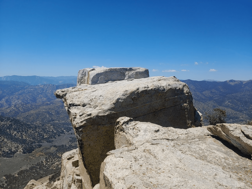
The true high point of the peak involved an easy step onto an exposed rock.
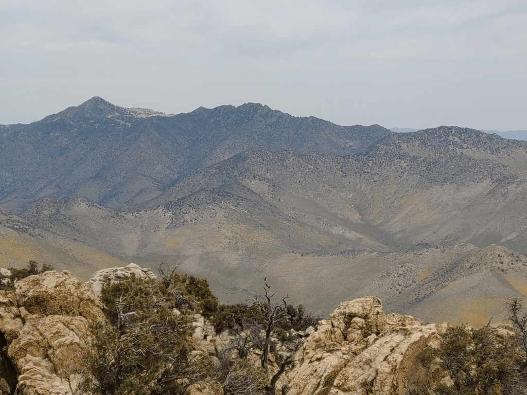
It was a clear day, so the views were pretty nice. I had my first real good look at 8453 foot Owens Peak a few miles to the south. Owens Peak is the highest peak in the vicinity, and I was planning to climb it the next day. I was a little concerned with the amount of snow on it, but I knew I was looking at its north face, and the route I intended to climb was on the south side of it, which was likely to be snow-free.
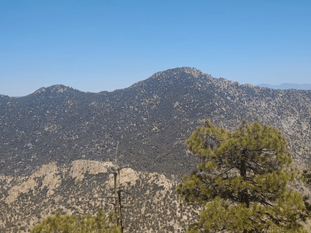
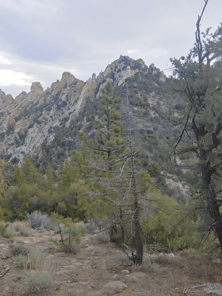
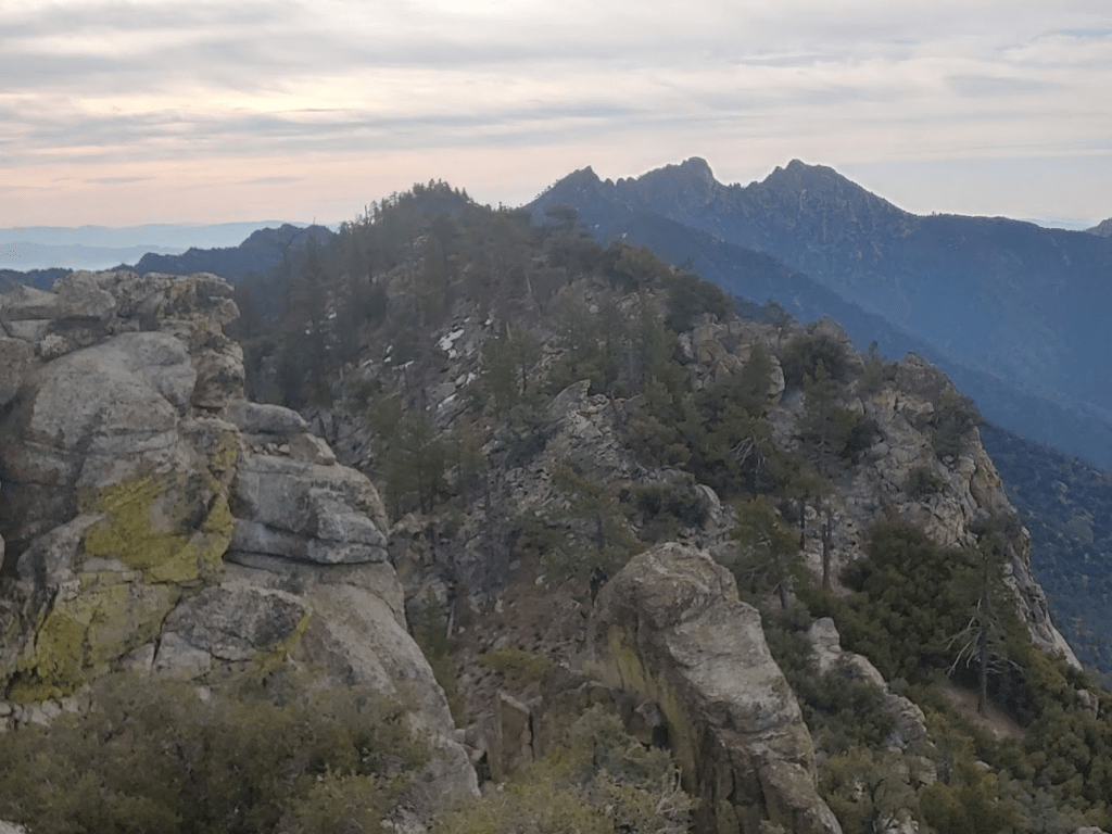
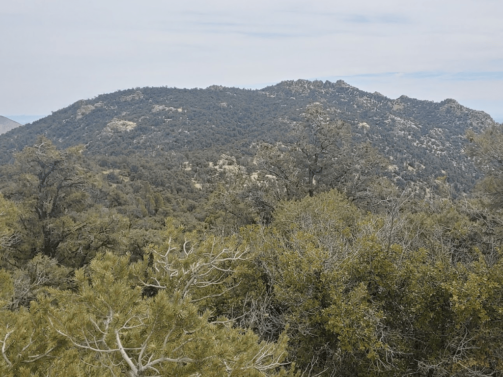
My next objective, Sawtooth Peak, was just a few miles to the north.
After a 30 minute break, I started descending back down to the PCT the same way I came up. This was much easier than the ascent.

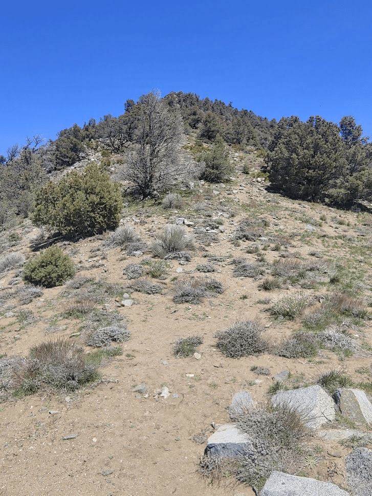
I soon reached the PCT again and started heading north the way I came towards Sawtooth. I passed 2 northbound PCT hikers and exchanged hellos with them. I was surprised to see any thru hikers on the trail. To my knowledge, most PCT hikers had canceled their hikes this year due to the pandemic. Most of the small towns they rely on for resupply were discouraging hikers from passing through to try to limit exposure to their small communities. Plus, the PCT passes through some areas (like national parks) which are closed for the time being. Anyway, I continued up the trail until the 7.28 mile mark where I started climbing cross country up the south ridge of Sawtooth. I was at 6231 feet so it would be an 1800 foot climb in about 1.3 mile (very steep!).
This was similar to the climb up to Lamont BM, just longer. There were a few sections where the brush got kind of thick, but it wasn’t too bad. It was now mid-afternoon and it was very warm in the hot sun, which made it a little tougher.
It took me just under an hour to make the ascent from the PCT. At 3:26pm, I was standing on the summit of Sawtooth Peak.
There aren’t any survey markers on this peak. There is a very old register placed in 1961, which was pretty cool. It looked like most of the really old entries were from large Sierra Club parties. There was also a newer book placed in 2001, but the old one wasn’t full yet, so I signed that one. The previous ascent was on April 4th.

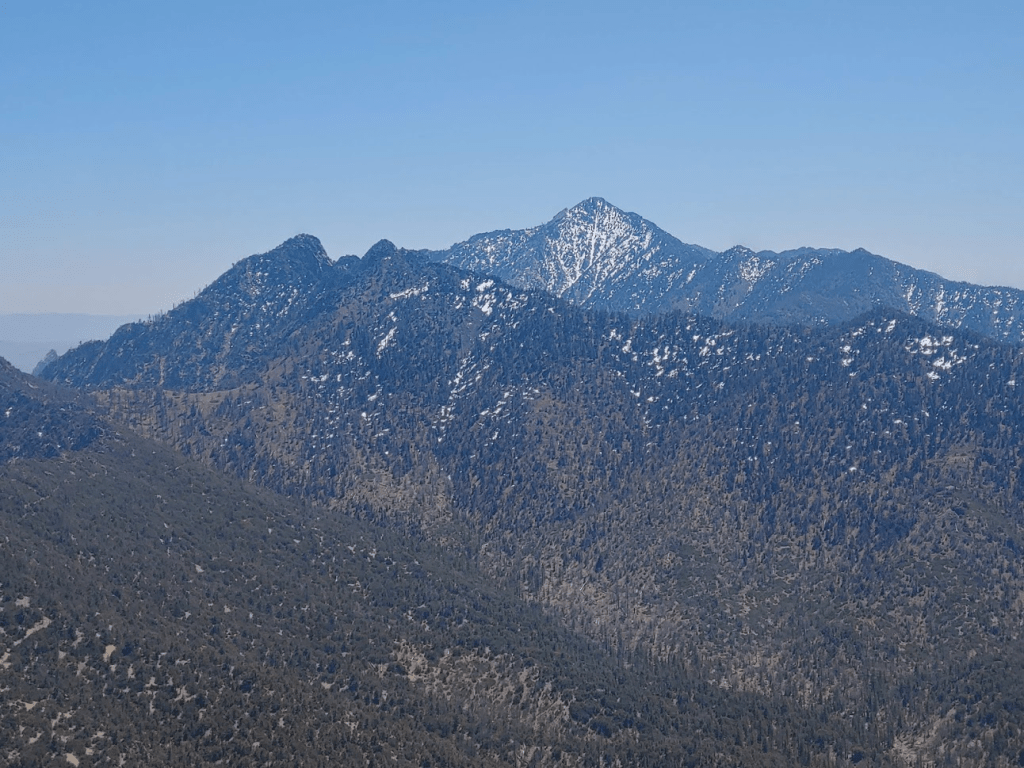
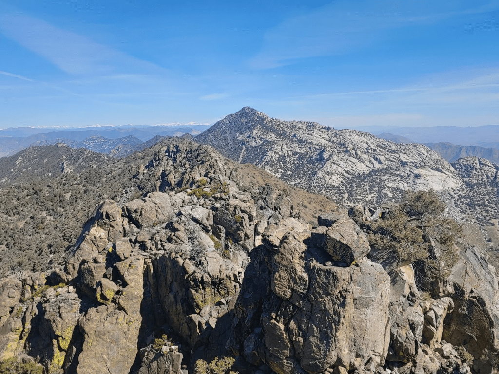
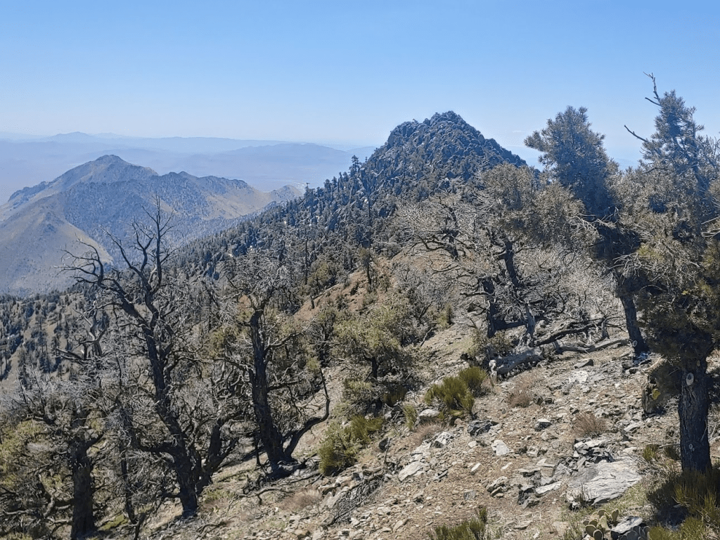
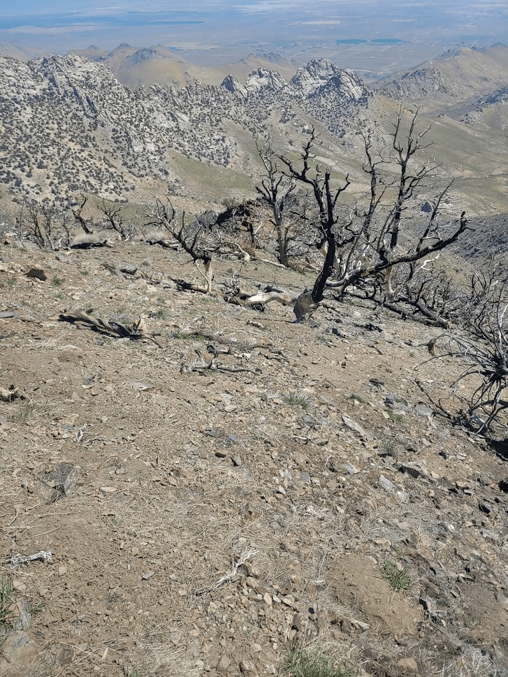
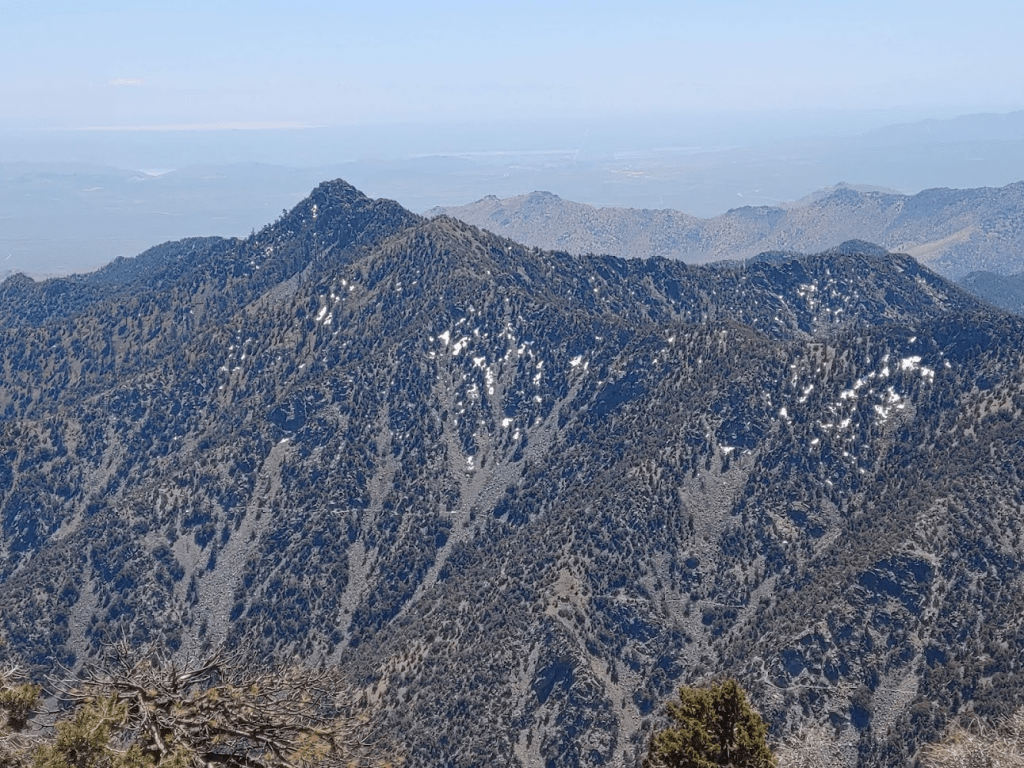
The views were similar to Lamont BM, but a little better since I was 400 feet higher. In the picture below, Lamont BM is in the foreground, with Lamont Peak (which is a separate peak that Intended to climb Sunday) directly behind it.

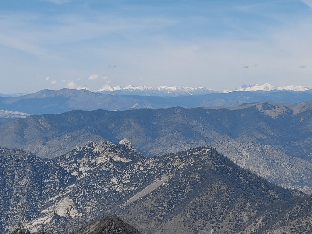
I had a good view of some of the higher Sierra peaks to the north, including 12,123 foot Olancha Peak (right side of the picture).
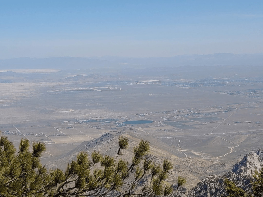
To the east, I had a good view across the Mojave Desert towards some of the peaks in the Death Valley region. Snow-capped Telescope Peak stood out.

I briefly explored the north side of the summit area and found some larger snowbanks in the shady areas.
After about 45 minutes on the summit, I started back down the way I came.
At the 10 mile mark I was back on the PCT. It took me 45 minutes to descend from the summit down to the trail.
I still had about 3.3 miles to go back to the car. I enjoyed the easy hiking after the 2 tough ascents I just done. I passed the dead fox again, and I wondered how long it would be before it was discovered by other hungry animals in the area. The sun was starting to get lower in the sky as I got near the end of my hike.
At 12.77 miles I looked ahead and noticed something moving about 50 feet in front of me. It was a massive, dark, furry animal and I realized right away it was a black bear. My heart started racing. This was my first encounter with a bear in the wild. The bear was just sniffing around, kind of looking like a gigantic dog. It was completely unaware of me, and I was a safe distance away, so I started fumbling for my phone to get a picture. As I was doing this, it walked up onto the trail and started coming towards me. Shit. I was still pretty sure it hadn’t seen me, so my instincts were to just get out of its way. I went off the trail to the right which was the uphill side of the trail. I scrambled up onto some rocks where I thought I would have a good view of the vicinity and would also appear large if the bear spotted me. Once I was on top of the rocks, the bear had disappeared. I looked around everywhere, but there was no sign of it. I figured it just went off in another direction and was concealed by the brush or large rocks. I considered that perhaps it had seen me, gotten spooked, and ran off. I stayed in my spot for about 10-15 minutes before I got the nerve to start moving again. I was only about a half mile from the car, but the bear was in the direction I needed to go (I was 99% sure it hadn’t somehow passed me without me noticing). Rather than continue down the trail in the same direction, I decided to cut directly west through the woods, where I knew I would eventually hit the road which I could follow back to the car. I proceeded as quickly as I could through the woods, looking around very carefully for any signs of it. I felt better once I was on the road again (less chance of surprising it). I briskly walked back to my car without incident. I started breathing easier once more and my heartrate returned to normal. I felt lucky that I had seen it so close to the car, and not 5 miles up the trail.
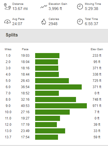
It was now 6:15pm. I packed up my car and drove back down to the highway. The totals for this hike were 13.67 miles, 3996 feet elevation gain, and 6:55:37 total time.

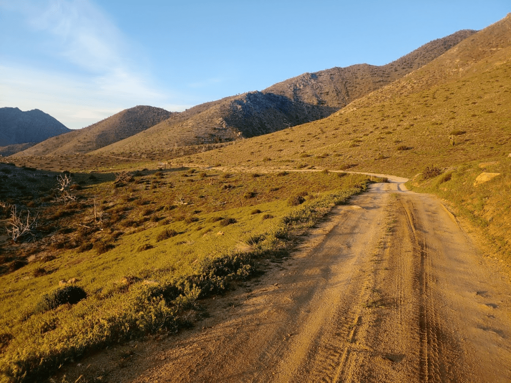
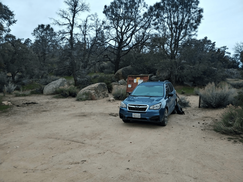
Once back on US-395, I drove south for about 12 miles before turning west (right) onto Indian Wells Canyon Road. The turnoff for this dirt road is right before the Indian Wells Brewing Company, which I’ve heard good things about. I’ll have to come back after the pandemic is over. I drove 8.6 miles up this road until it ends at a small parking area at 5390 feet which serves as the trailhead for Owens Peak. The dirt road is in decent shape. I would recommend high clearance for some rutted sections, but I did see a passenger car at the trailhead the next day. There are many side roads which lead off in different directions, but if you stay on the main road it’s easy to stay on the right course. The road is signed SE 164. I noted one other truck parked at the trailhead, but the area was large enough where I had enough privacy. The views down into the valley I had just driven up were very nice, and I wished I had gotten up there sooner before it got dark. I fell asleep early and had a very good night’s sleep.
Day 2
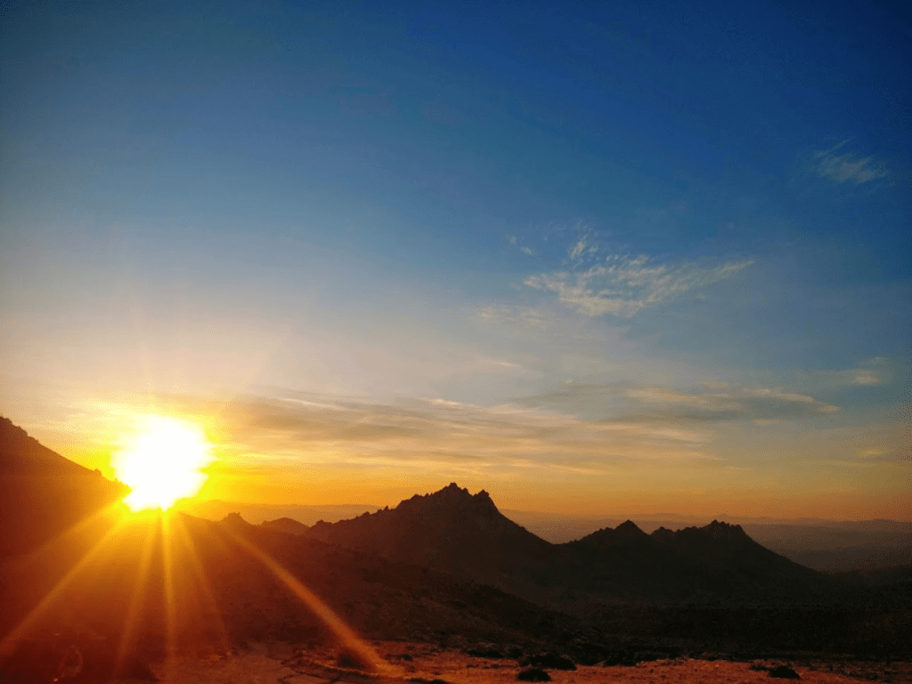
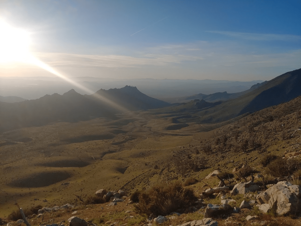
I had a pretty ambitious hike planned for Saturday. My main goal was to climb 8453 foot Owens Peak, which is on both the Sierra Peaks List and the Hundred Peaks List (It’s one of the northern-most peaks on the LA-centric HPS list, and one of the southern-most peaks on the Sierra Peaks list). There are 2 other HPS peaks in the area that I intended to climb, Mount Jenkins (7921 feet) and Morris Peak (7215 feet). I intended to climb a ridge south up to the PCT, climb Morris Peak, go north on the PCT, climb Mount Jenkins, go further north on the PCT, climb the south ridge of Owens, and then descend the Owens Peak trail back to the trailhead. I started hiking at 6:17am. The sunrise over the Owens Valley was spectacular.
I started off by backtracking down the road I had driven up the night before.
At 0.6 mile, I left the road and started ascending up a steep ridge.
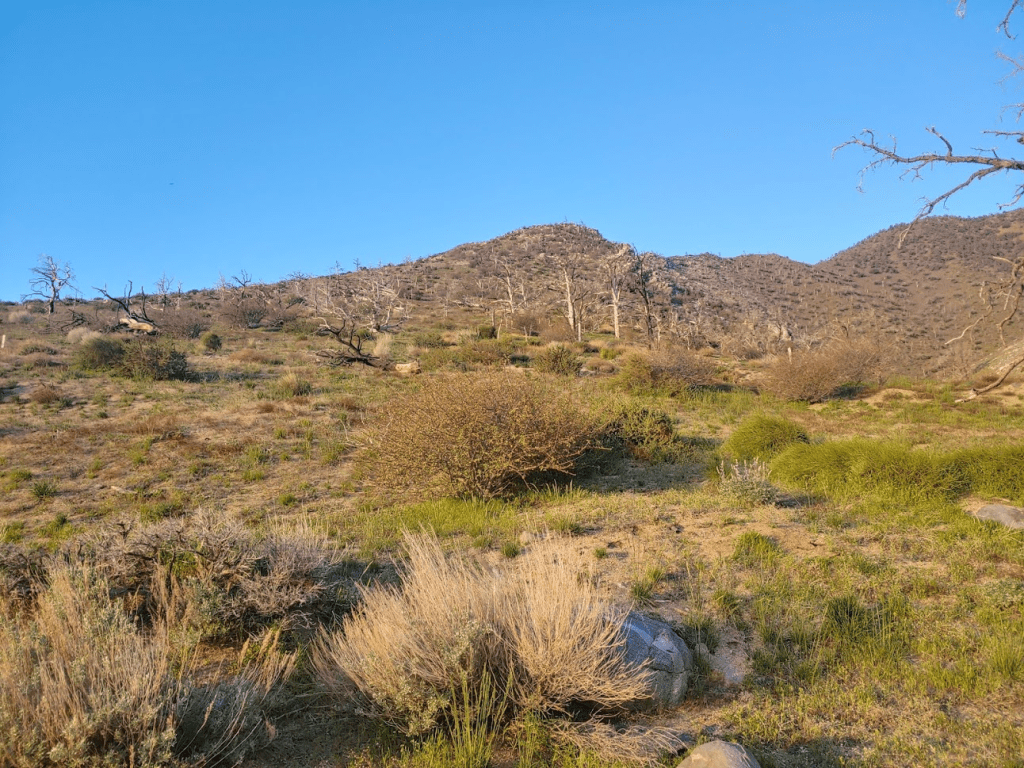
The footing was solid, so I made good time up the ridge. There were a lot of burned trees in the area.
It was already feeling warm so early in the morning so I knew the day would get very hot. The views really opened up behind me as I gained elevation.
At 1.39 mile I reached the PCT. I had already climbed about 1300 feet.
I would be using the PCT to access all 3 of the peaks. My plan was to work from south to north, starting with Morris Peak. I started walking south down the trail towards Morris.
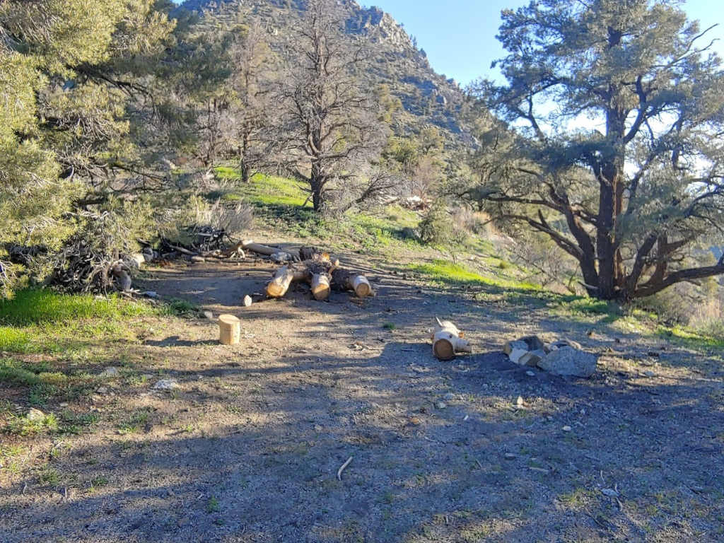
I passed a campsite right off the trail which looked like a nice spot for PCTers to spend the night.
At 2.17 miles I left the trail to begin climbing to Morris. I was at 6489 feet so it would be an 800 foot climb.

Similar to the previous day’s climbs, this part was steep and somewhat brushy. It took me about 25 minutes to climb the 800 feet in 0.35 mile.
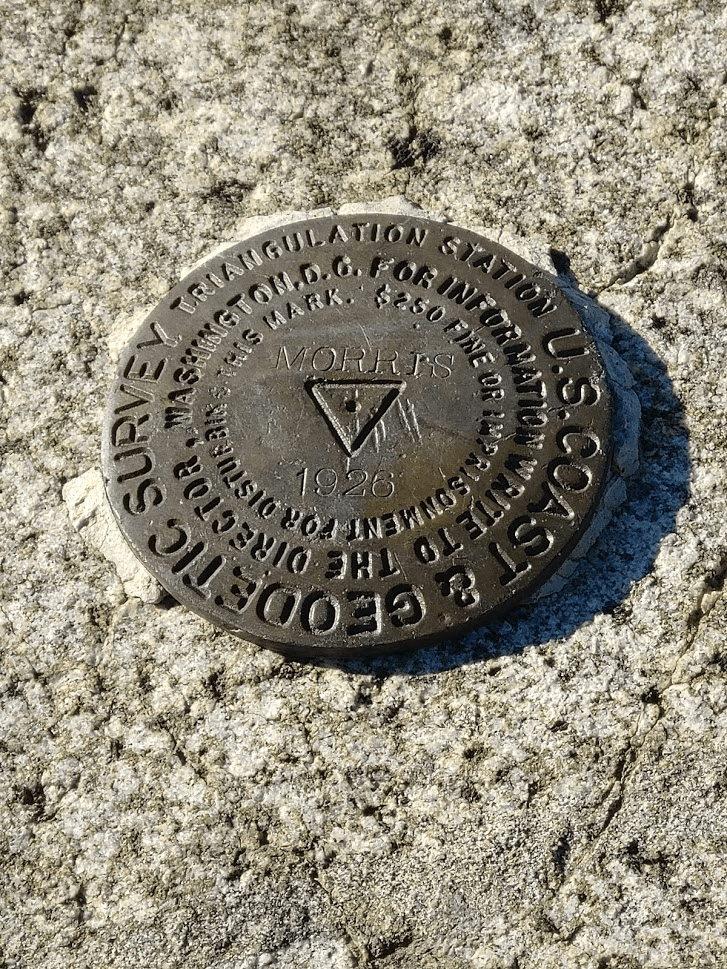
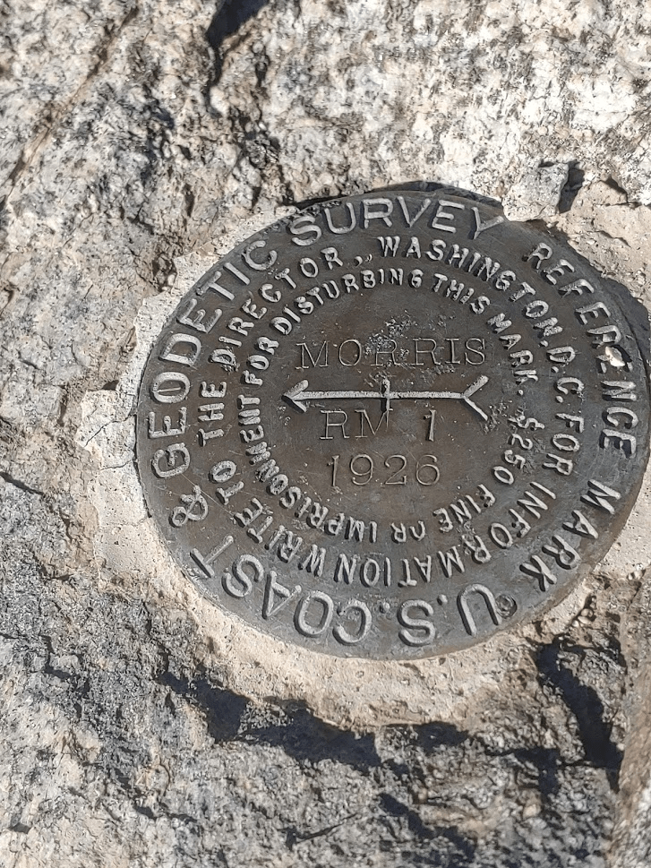
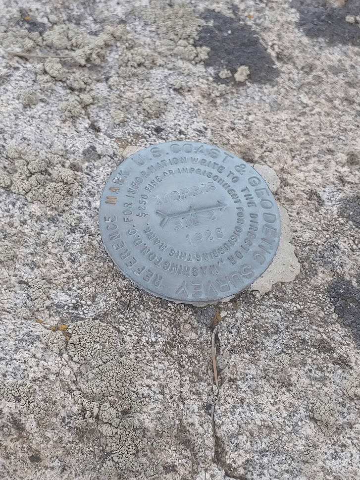
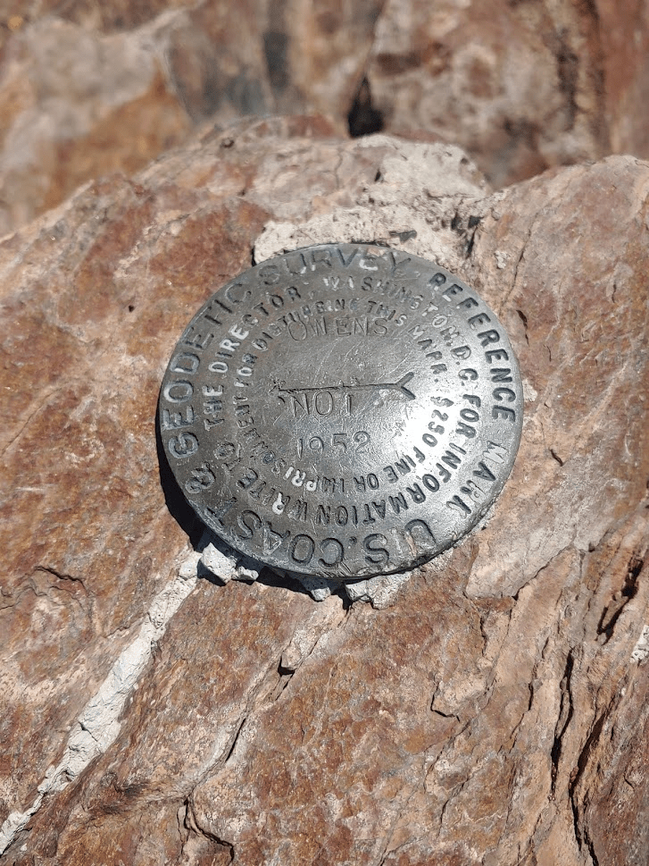
I reached the summit at 7:47am! I was at 2.53 miles so far. There were 2 registers. The older one from 2014 was completely full. I signed the newer one which was placed in 2016. This appeared to be a somewhat popular peak. There was an entry from the day before. I located the benchmark and 2 reference markers.
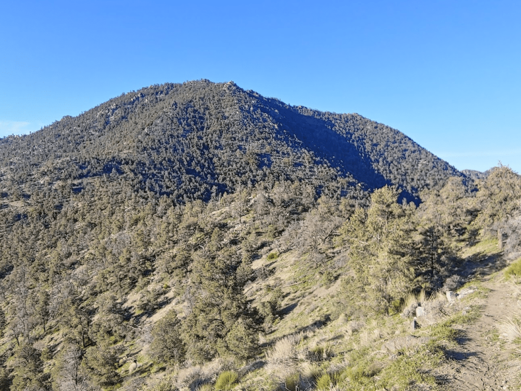
It was another clear day, so the views were nice, but I knew the views on Morris would be the least impressive of the day since it was the lowest peak. My next stop, Mount Jenkins, was visible just a few miles north. Owens Peak was hidden behind it.
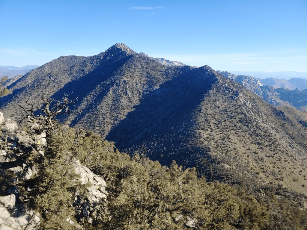
I was on the very southern edge of the Sierra Nevadas. State Highway 178 is generally considered the southern boundary of the long mountain range, with the Tehachapi Mountains on the other side. One of the peaks on the northern end of the Tehachapis, Scodie Mountain, was visible just a few miles away. I intended to climb Scodie Mountain on Sunday.
After 30 minutes, I began descending towards the PCT.
It took me just 12 minutes to reach the trail.
I now headed north towards Mount Jenkins. I followed the PCT back the way I came until passing the ridge I had ascended early in the morning. Beyond that point, the PCT started to gradually gain elevation as it wound its way north along the hillsides.
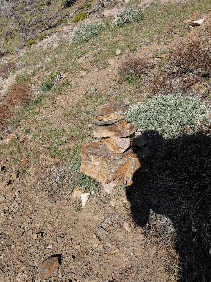
At 4.74 miles I reached the point where I left the trail to climb towards Mount Jenkins. This point was marked by a cairn on the side of the trail.
I was at 6972 feet, so it would be a tough 1000 foot climb in 0.6 mile.
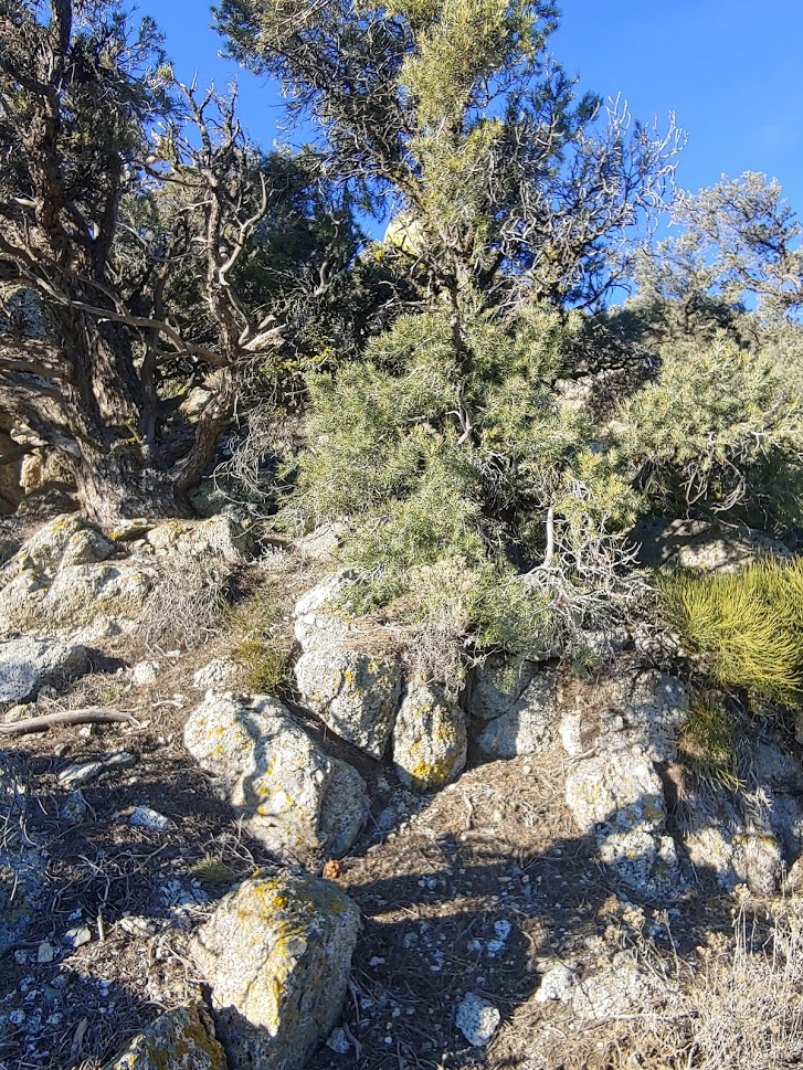
I followed a faint use trail up to the peak. There were spots where it faded in and out.
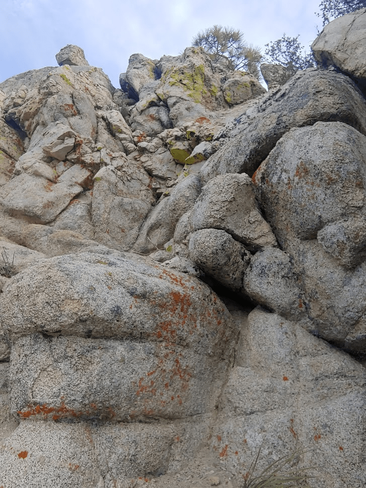
It got rocky near the top which made for some fun class 2 scrambling.
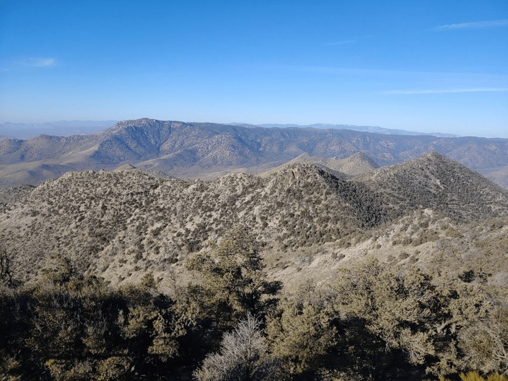
I reached the summit at 9:41am at the 5.35 mile mark. There are no survey markers on the summit, and I couldn’t find any sign of a register. I had my first good view of Owens just a few miles north. The snowbound high Sierra can be seen in the distance.
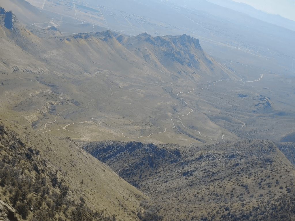
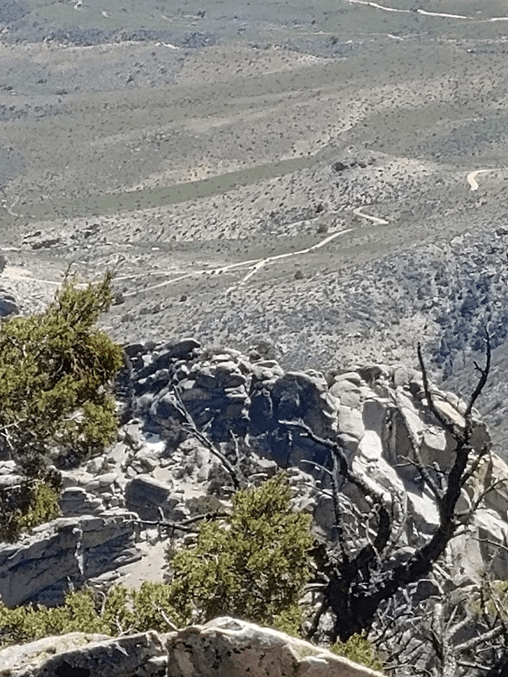
Down below I had a great view of Indian Wells Canyon which I had driven up the day before. The road can be seen snaking its way up to the trailhead.
I spent 30 minutes on the summit before beginning the descent.
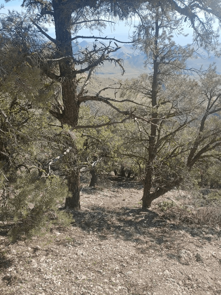
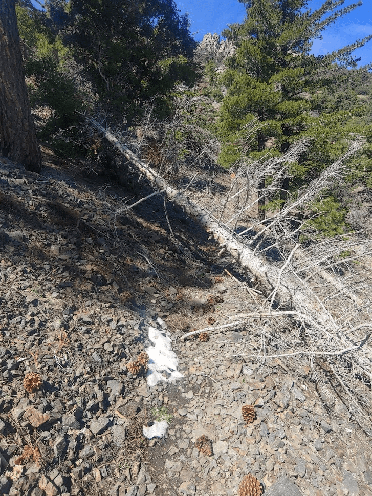
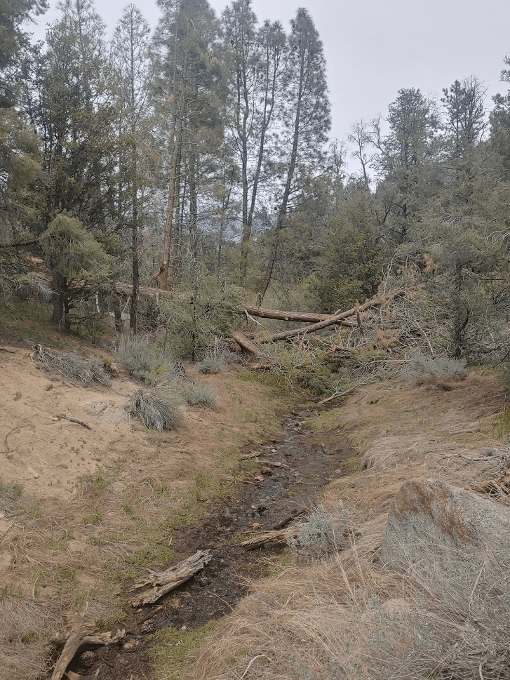
It took me 25 minutes to descend the 1000 feet back to the PCT. I was now 6 miles in. I continued north towards Owens Peak. There were a few downed trees to maneuver around (this would become a theme for the weekend).
Between Jenkins and Owens, there is another peak labeled on Peakbagger as North Jenkins (7900 feet). I considered skipping it, but it would be only a 700 foot climb from the PCT, and the terrain looked friendly, so I decided to give it a go. I left the PCT at the 6.84 mile mark and began climbing west up to North Jenkins.
It took me just 16 minutes to climb 700 feet in 0.3 mile. At 11:16am, I was on the summit of North Jenkins. Mount Jenkins, just 21 feet higher, was less than a mile south along a rocky ridgeline.
I took just a 5 minute break before descending towards the PCT once more.
At 7.5 miles I was back on the trail and heading towards the final peak of the day. Owens was finally starting to appear close.

I passed some small snow patches on north facing hillsides.

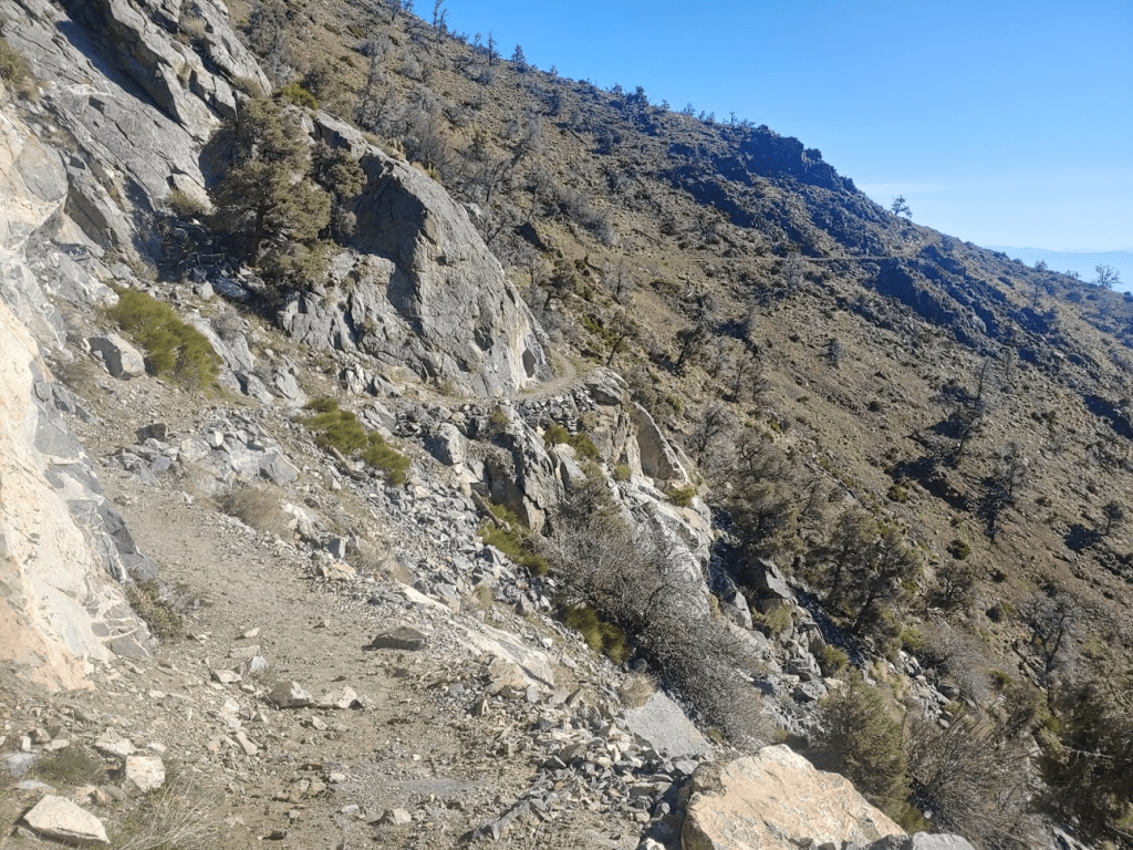
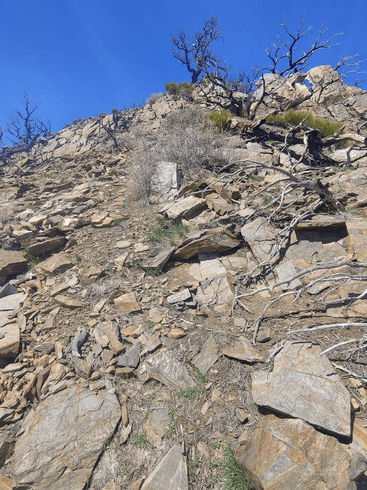
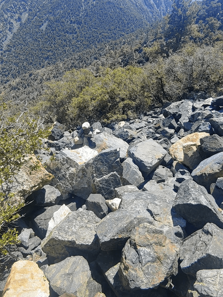
At 8.88 miles I left the PCT and began the climb up the south ridge of Owens. This would be the most difficult part of the day (and possibly the whole weekend). I was at 7012 feet so it would be a 1400 foot climb in about a mile.
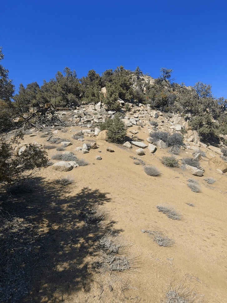
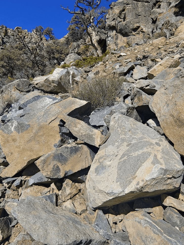
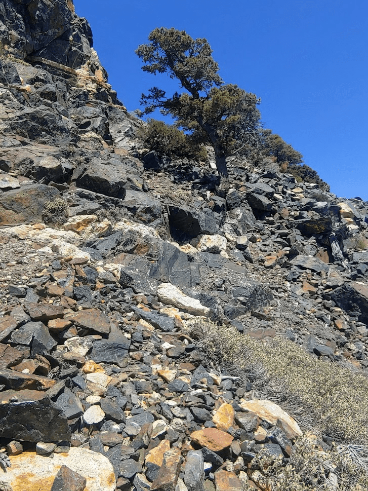
There were many rocky sections which made progress slow.
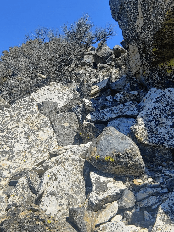
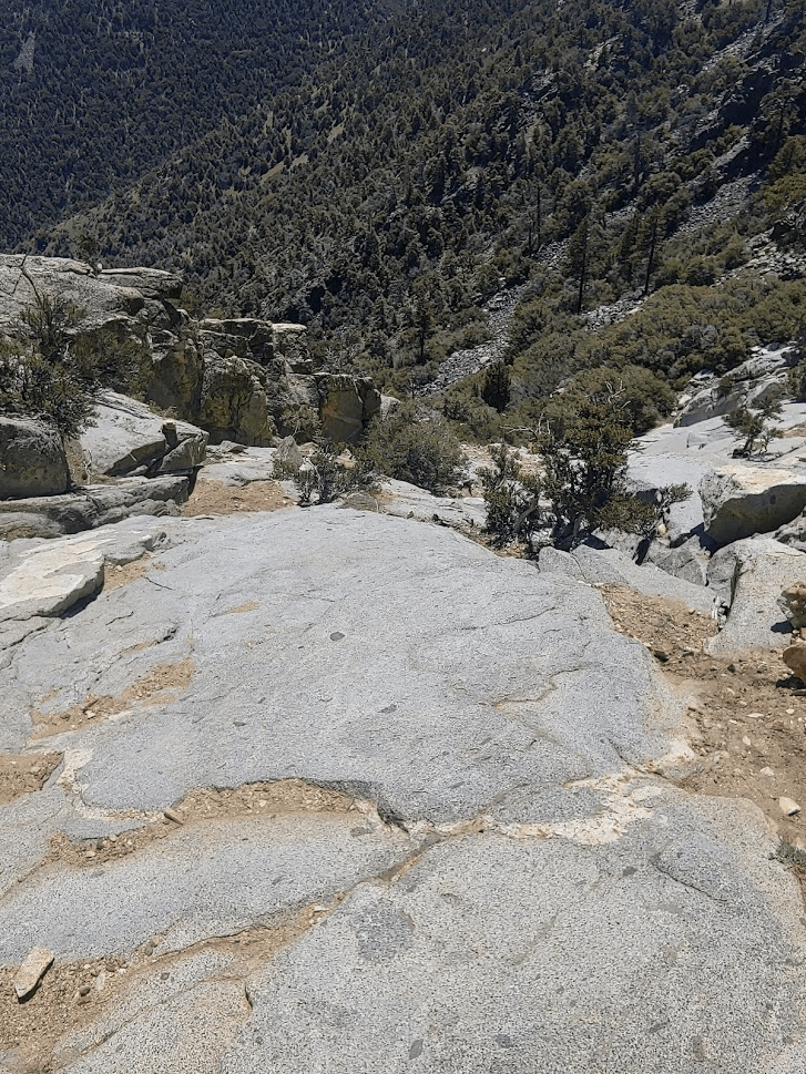
It was very hot outside, so I was really sweating during this part. The summit area was very rocky and steep.
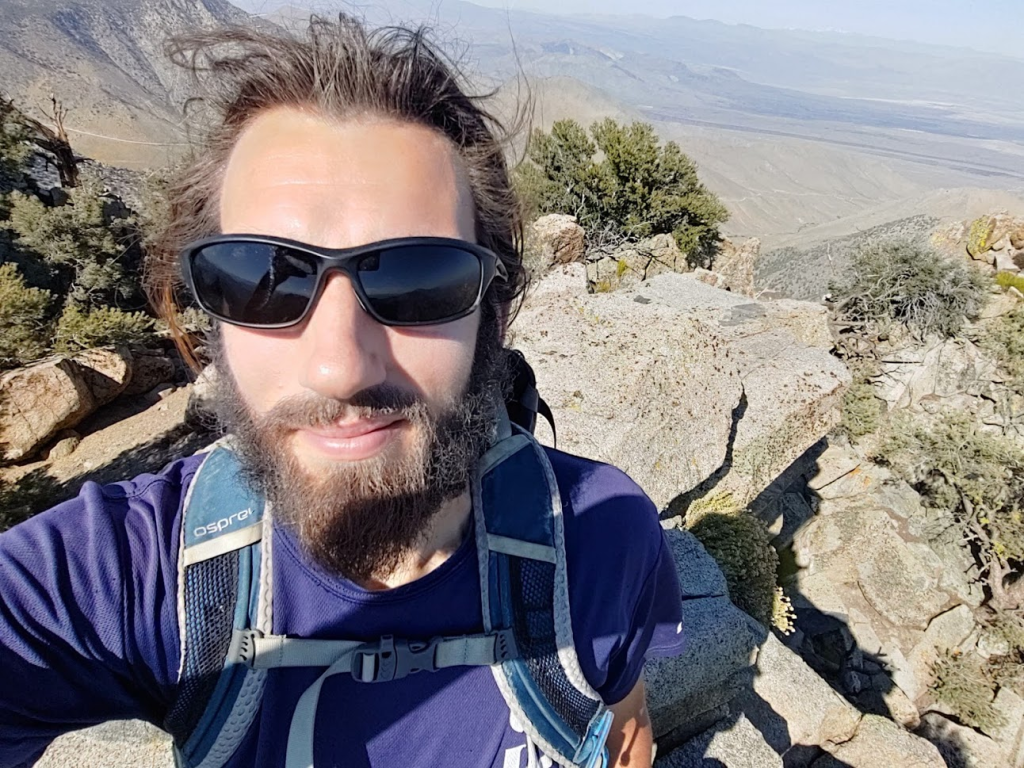
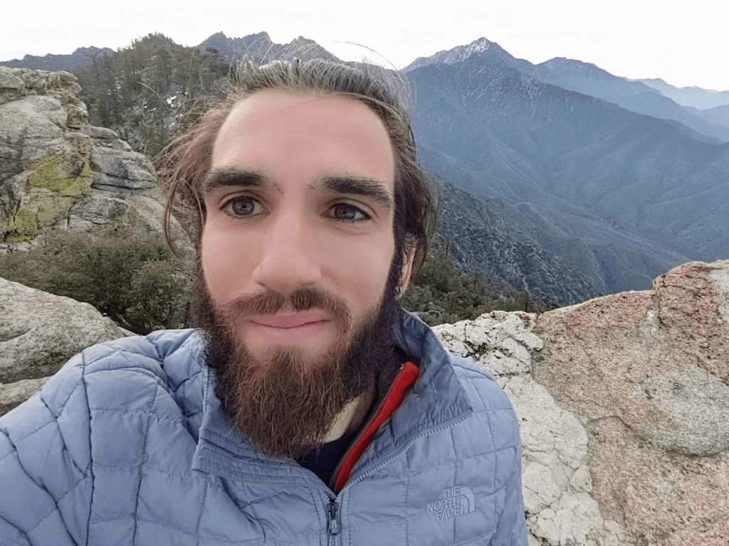
I finally reached the 8453 foot summit at 1:08pm! IT took just under an hour from the PCT.
There was already another hiker on top when I reached the summit. I signed the register which had been placed in 2016. I noted that I was the 8th party to sign the register that day. This was a pretty popular peak! Since I hadn’t seen anyone else all day, I guessed that they had all taken the standard route up from the trailhead (this was the route I intended to take down). I located the benchmark and reference marker no. 1
Someone had left a nice wooden sign on the summit.

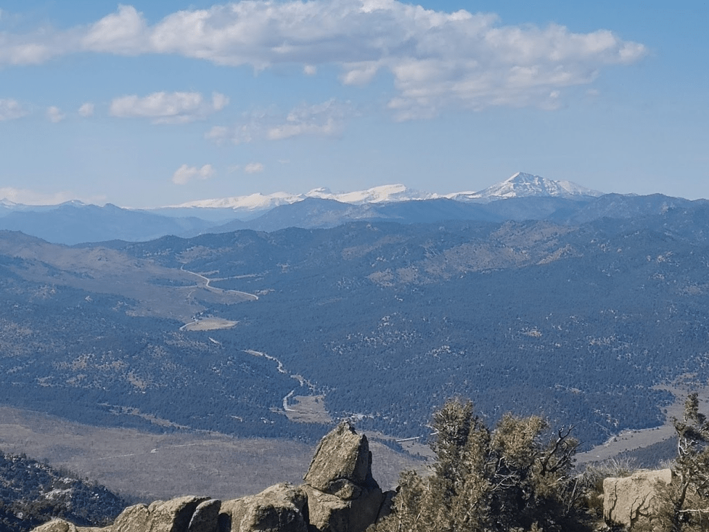
Owens Peak, with over 2000 feet of prominence, is the highest peak in the vicinity so it commands tremendous views. The high Sierra was visible many mile to the north.
Death Valley’s Telescope Peak was the most prominent feature to the northeast.

To the east were the small desert towns of Inyokern and Ridgecrest.
Mount Jenkins was just a few miles to the south.
Further to the south were the higher peaks of the Tehachapis.
Far below, I could see the trailhead with my car as well as a few others parked.
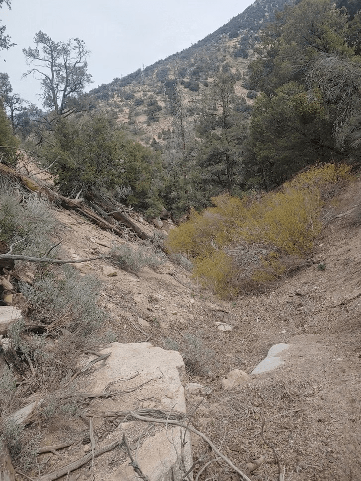
I spent about 50 minutes on the summit before descending. I was planning to take the standard Owens Peak trail back down to the trailhead. It would be about 3 miles with 3000 feet of elevation loss. I had already ascended well over 5000 feet on the day, so my legs were tired, plus it was very hot so I was feeling exhausted. It had been a long day already! The sandy trail began by descending southeast off the peak.
After about 0.5 mile, I reached some rocky slabs. I had read reports about this section and made sure to go down carefully. I used my butt to slide down the steepest parts.
After the slabs I crossed a small talus field. I ran into a group of 4 hikers on their way up around this point.
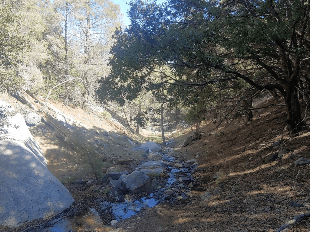
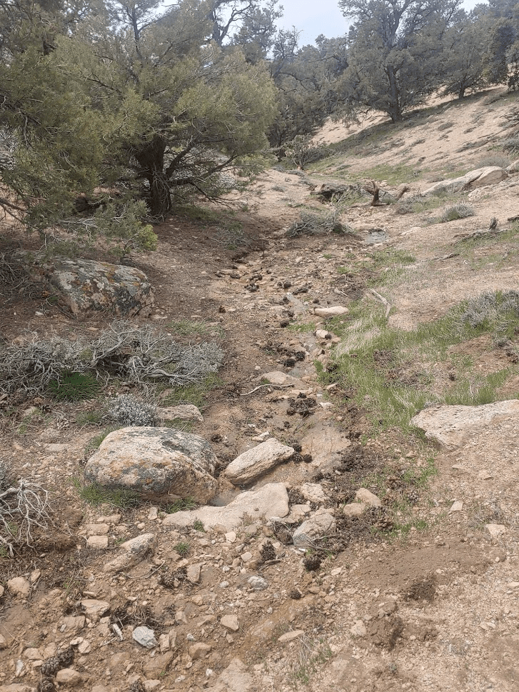
After the talus field, the trail continued to descend steeply down into the valley. It follows a creek for much of the way. The creek was flowing pretty good this time of year. I assume it runs dry in late summer/fall.
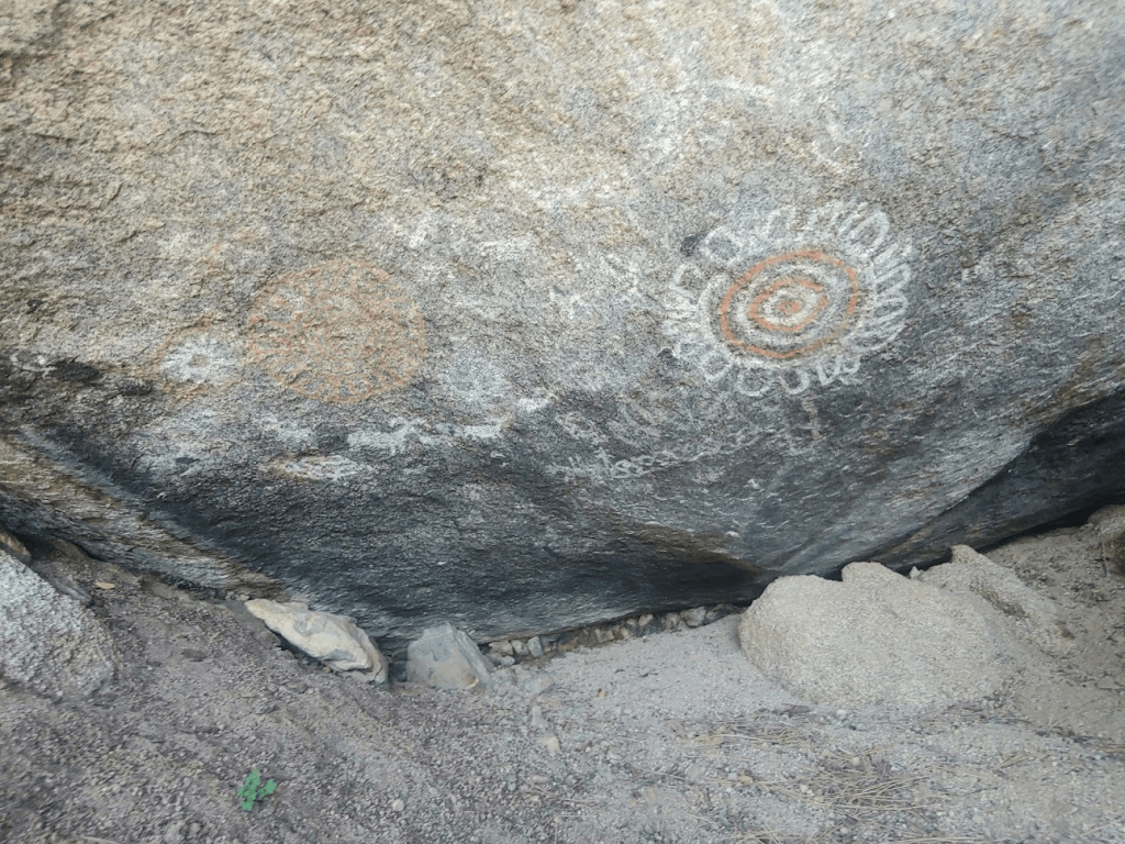
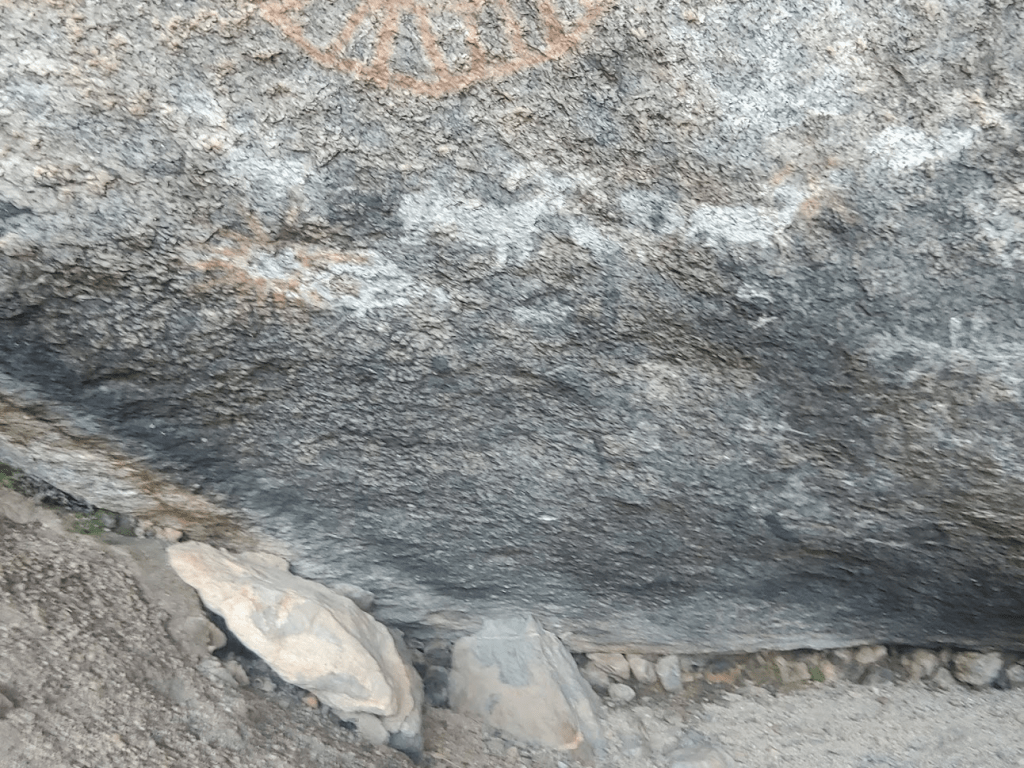
With a little over a mile to go, I climbed a short way north off the trail towards a small cave. I had read about some pictographs (Native American rock paintings) in the area. They were actually pretty easy to find and definitely worth the effort to see.
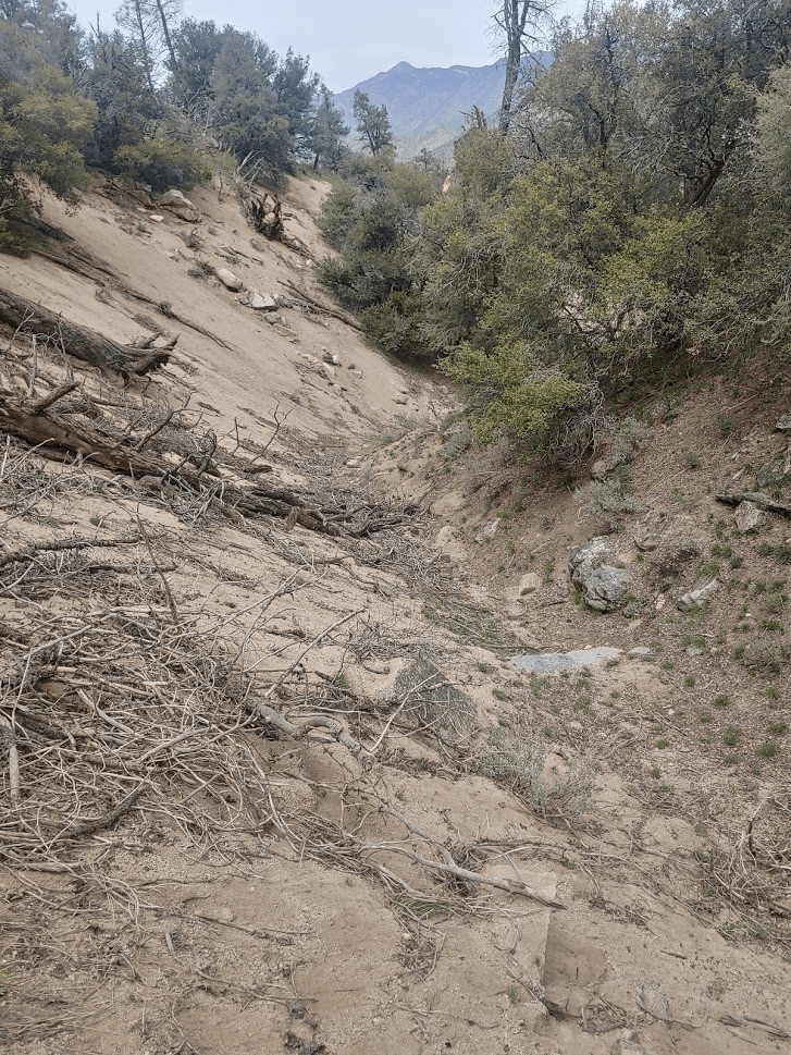
Shortly after this, I ran into a solo hiker on his way up. I thought it seemed late in the day to be making a summit attempt. The trail eventually leaves the creek as it gets near the trailhead.
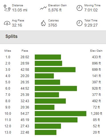
I reached the car once more at 3:45pm. The totals for this hike were 13.05 miles, 5876 feet elevation gain, and 9:29:27 total time.
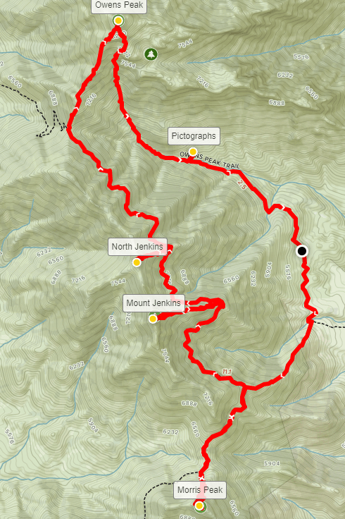
This hike left me very exhausted. I was originally considering climbing another HPS peak nearby called Five Fingers which would be about 3 miles/1500 feet elevation. I probably had enough time in the day for that, but I wanted to conserve my energy for Sunday. I instead took my time packing up the car and having a late lunch/early dinner while enjoying the magnificent scenery at the trailhead. I decided it was one of the cooler places I had camped at in my life. All I had left planned for the day was to drive to the next morning’s trailhead (for Lamont Peak) where I would sleep for the night. I drove back out to Highway 14, which I drove south on for a few miles before turning west (right) onto Highway 178. I drove about 19 miles before turning north (right) onto Chimney Peak Road. This is a different portion of the same road I used to access the PCT for my hike on Friday. It was about 6 miles on well-graded Chimney Peak road to the trailhead for Lamont Peak at 5487 feet. The trailhead has space for 4-5 cars, and any car could make it to this point. I arrived at 6:30pm and enjoyed some reading before falling asleep around 9.
Day 3
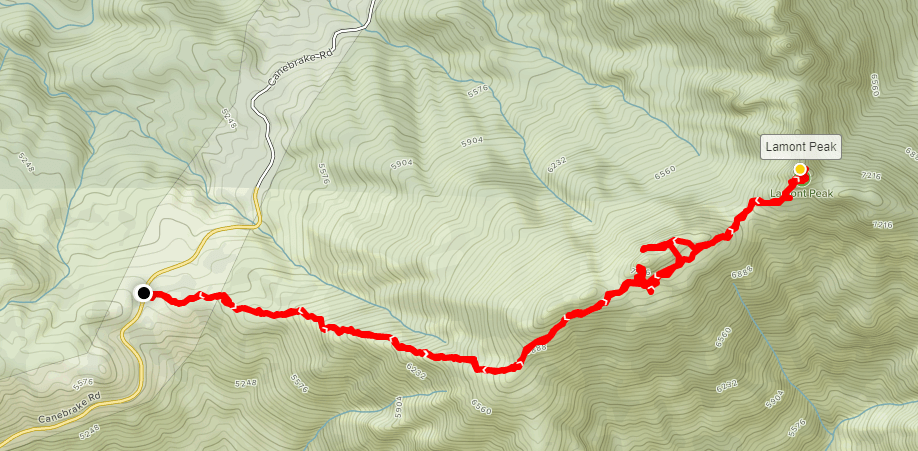
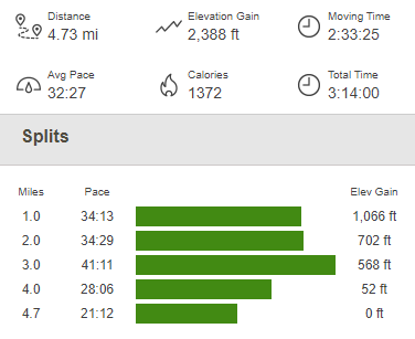
I had 2 separate hikes planned for the final day of my weekend. I first intended to climb SPS listed Lamont Peak (7429 feet), which would be about a 4 mile hike on an unmaintained trail. I got started at 5:57am.

The trail, which is not maintained, was actually pretty easy to follow. Like my other hikes this weekend, it was very steep uphill work through pine forest.
At 0.5 mile, I saw a skunk off to the side of the trail. It definitely saw me, as it had its bushy tail raised in a defensive posture. I gave it a wide berth and continued up the trail. I noticed some pretty yellow flowers along the trail.
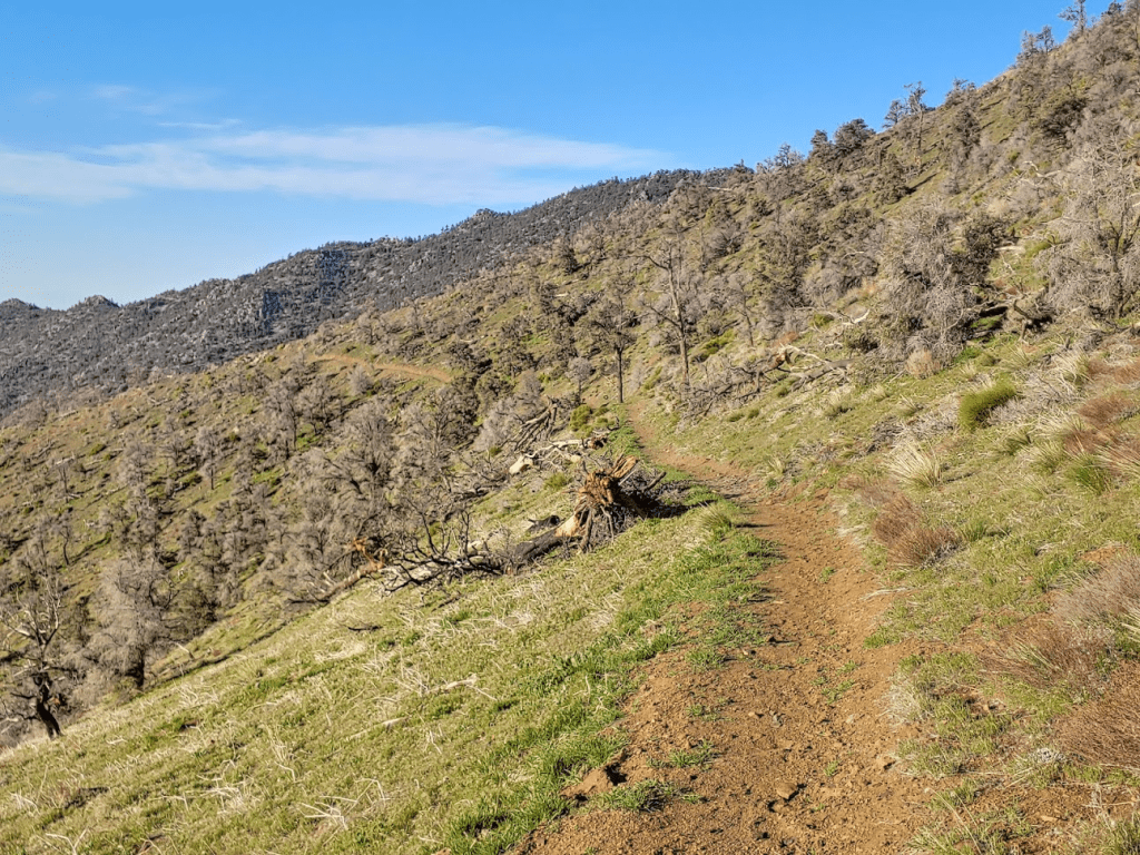
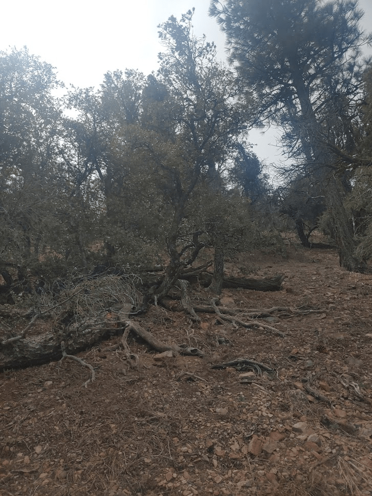
There were a lot of downed trees in the area. I’m not really sure why, since they didn’t appear to be burned. Many of them were fallen on the trail which slowed my progress a little.
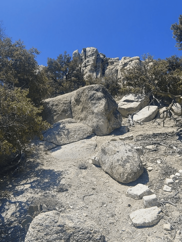
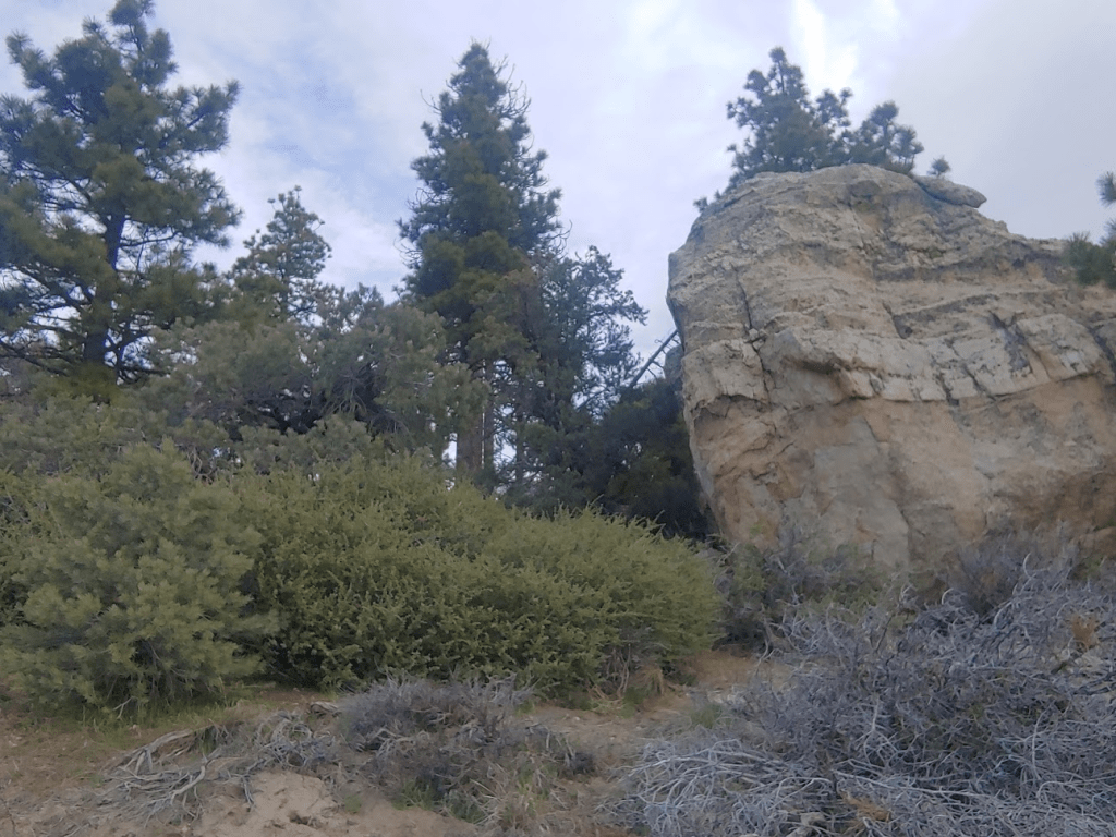
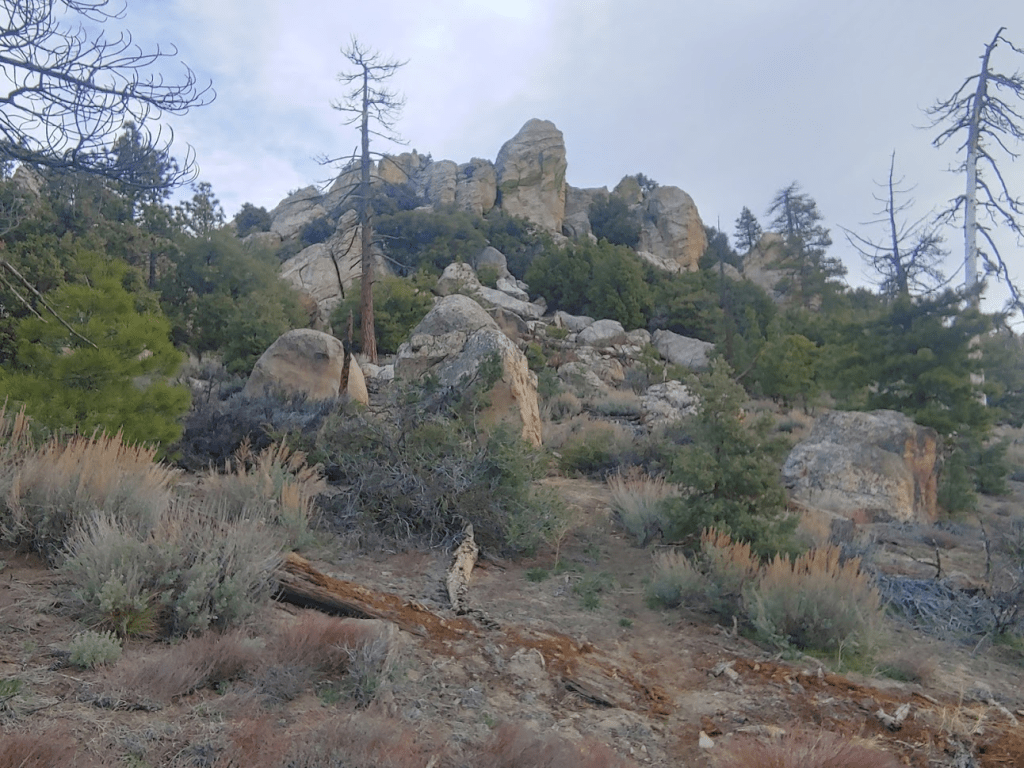
There were some large boulders as I got higher.
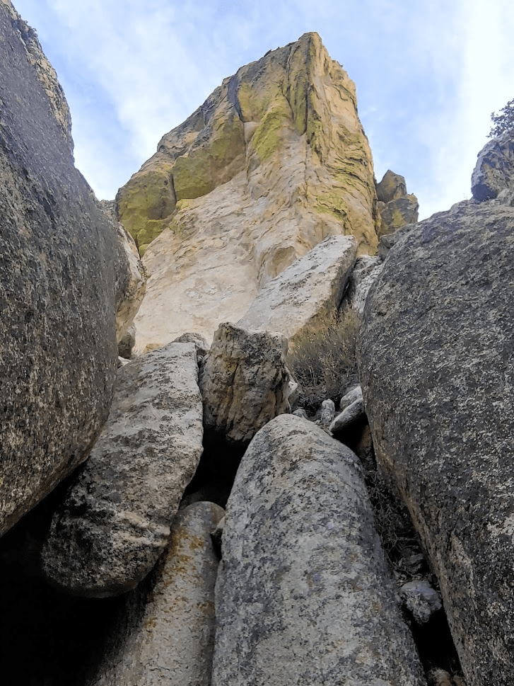
At 1.52 miles, I passed a point labeled on Peakbagger as West Lamont (7320 feet). I had read that its large summit boulders required technical climbing.
I decided to climb as close as I could to its summit just for fun. I reached 7263 feet before turning around. I was about 60 feet below the summit.
After West Lamont, the trail descends to a small saddle at 7020 feet. Lamont Peak was now visible right ahead.
The trail then starts climbing steeply to the summit.

The final section required some fun scrambling, but nothing above class 2.
I reached the summit at 7:27am! I was 2.31 miles in so far. High clouds were blocking the sun, so it was much cooler than I had gotten used to the previous 2 days. A slight breeze actually made it pretty cold on the summit, so I bundled up.
I signed the register, which was very old. I had made a note about how old it was but can’t seem to find it. There are no survey markers on this peak (Lamont Benchmark is on a separate peak which I climbed Friday). I once again was north of Owens Peak so had a good view of its snow-covered north face.

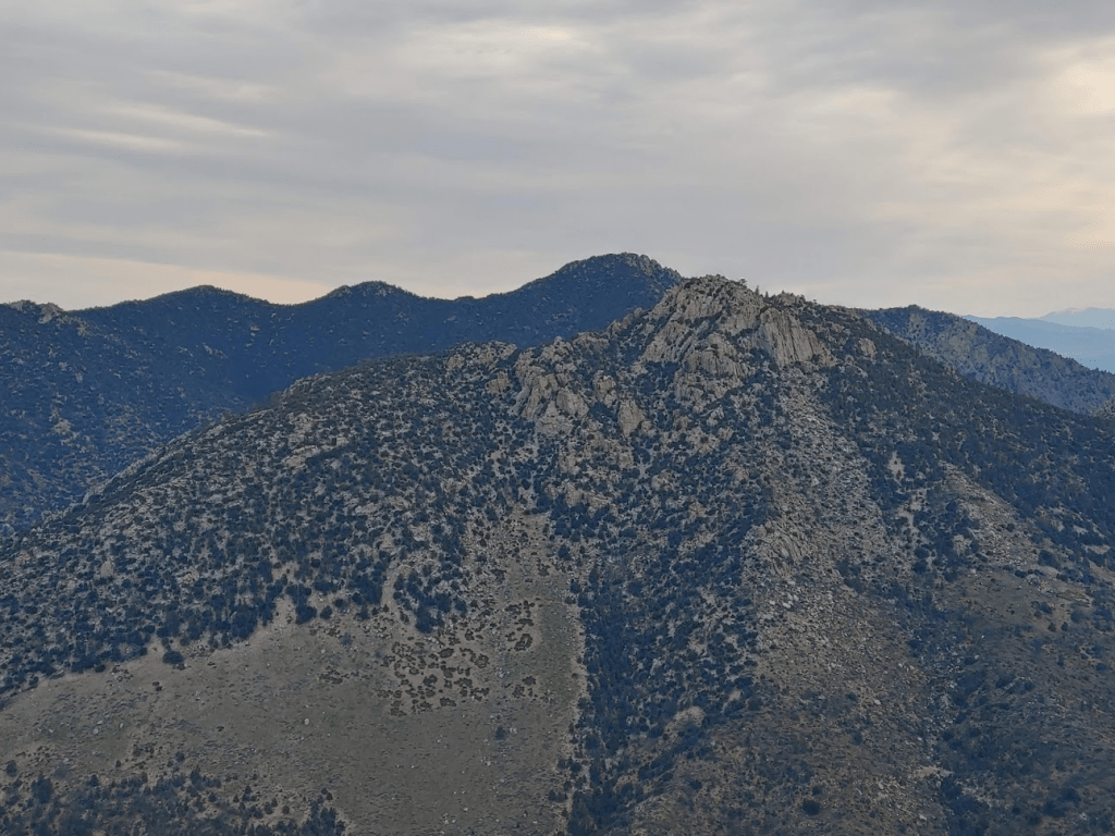
To the northeast were the 2 peaks I climbed on Friday. In the picture below, Lamont Benchmark is the rocky peak right center. Sawtooth Peak is behind it slightly to the left.
Directly east was a peak labeled on Peakbagger as East Lamont. Continuing to East Lamont would have added about 1 mile round trip. The summit block is reported to be class 3, so I decided not to make the extra effort since I was unsure I would even be able to summit. Plus, I was anticipating about 10 miles on my 2nd hike of the day so wanted to conserve energy. Directly behind East Lamont is another SPS peak called Spanish Needle. Spanish Needle would be the only SPS peak in the area I wouldn’t be visiting this weekend (I had similar concerns of a class 3 summit).
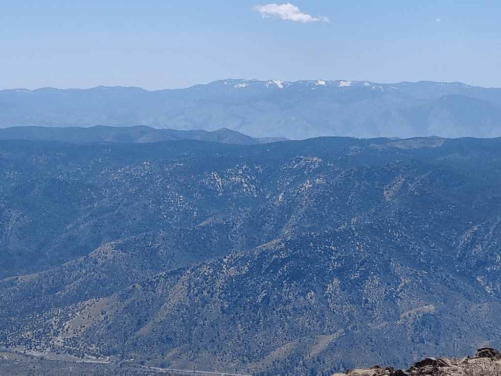
Despite the high clouds, I noted that visibility was actually better than it had been the previous 2 days. For the first time this weekend, I could plainly see the snow-capped summit of Mount Baldy all the way down in LA County.

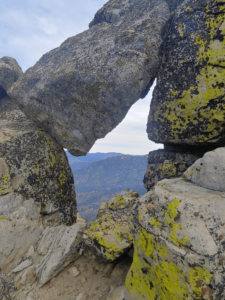
After a nice break and a few snacks, I began the descent. I noticed a cool rock window just below the summit.
I followed the rough trail back down to the saddle and up again towards West Lamont. I was feeling adventurous so decided to explore the other side of the peak, even though I knew I wouldn’t be able to climb it.
After I was done exploring West Lamont, I headed back down the trail towards the car.
The rest of the descent was uneventful. This hike totaled 4.73 miles, 2388 feet elevation gain, and 3:14:00 total time.
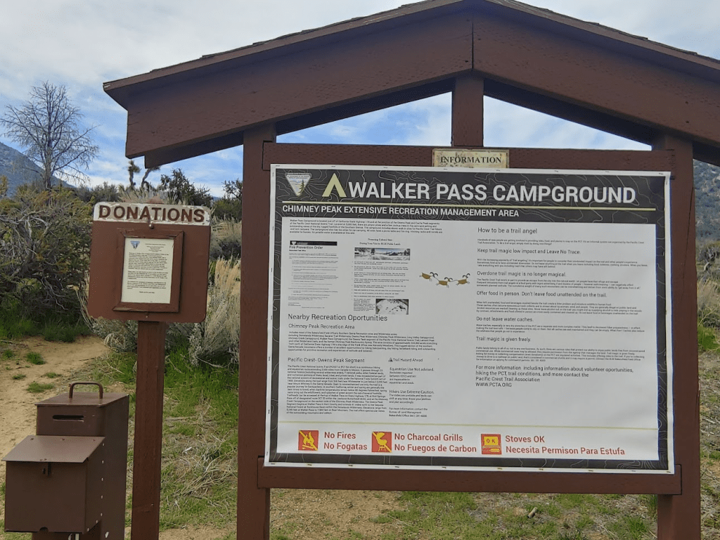
I had one more peak to climb before heading home. I drove down Chimney Peak Road back to Highway 178. It was just 8 miles until I reached Walker Pass Campground right at 5000 feet. Like pretty much every campground in California, it was closed due to the pandemic. However, all of the trails in the area were still open so I was able to park.
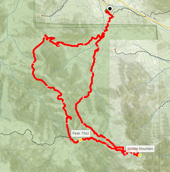
Scodie Mountain (7294 feet) is another peak on the HPS list. The other peaks I had climbed on this trip are on BLM land, but Scodie actually lies in the Kiavah Wilderness within Sequoia National Forest (I think). Once I was parked, I walked up through the campground to a short trail used to access the PCT. The campground wasn’t much – I only counted 2 or 3 sites, but the sites themselves seemed nice and the location was scenic. I started hiking at 9:48am.

It was only 0.2 mile until I reached the PCT once more.
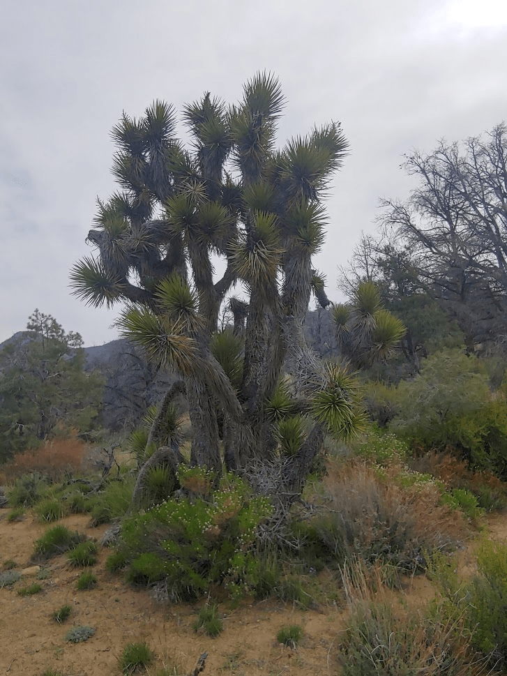
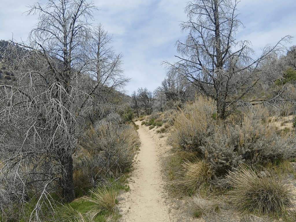
As I was hiking on the PCT it occurred to me how useful the trail is. It can be used to access so many peaks, not just in the Sierra, but also countless peaks I had already done closer to home in Southern California. Plus, it is extremely well maintained and there are many convenient access points. I noted a few Joshua trees along the trail. There are dense forests of them along Highway 178, but only a few scattered here and there along this portion of the trail.
I also noted a lot of dead trees in the area, which I had observed on my other hikes as well. I would be curious to learn why.
The PCT wound its way west and then south around Peak 6522. I passed a couple with the guy carrying a baby in a backpack. I also passed another solo hiker.
At 4.59 miles, I left the PCT and started hiking east cross country. I was at 6622 feet.
At 4.88 miles, I reached Peak 7042. I was only about 200 feet lower than Scodie, but I still had 1.5 miles to cover.
The terrain between Peak 7042 and Scodie Mountain is relatively flat. It would be easy to get lost here without GPS, since you can’t just simply walk uphill.
Thankfully, the bushwhacking was minimal. I found footsteps to follow here and there.
As I got near the summit, I could hear voices not far away from me. Once I got closer, I saw a group of 6-7 hikers on the summit block. They waved at me and said hello as I hiked up the final bit to the summit.
The summit block itself wasn’t very big, so I waited a few minutes for them to climb down. At 12:23pm I was on the summit after 6.26 miles of hiking. I signed the register which had been placed in 2015. Before the large group which had summited just before me, the previous ascent was April 18th. There was also an older register from 1993 which was filled up. There are no survey markers on the peak. I noticed a slight pain on my right side and pulled a tick out of my skin. Gross! The views were good, but not much different than my previous hikes the last couple days. Owens Peak still looked impressive to the north, with Mount Jenkins and Morris Peak just to the right of it.
I spent 45 minutes on the summit, enjoying the mountain scenery for the last time since the weekend was nearly over. I really enjoy the peace and quiet that you get in the middle of the wilderness. I was planning a more direct descent back to the campground, instead of taking the roundabout way back to the PCT. I started hiking northwest off the summit. I followed a drainage for a short way, thinking it was leading me in the right direction. I checked my GPS a little while later and realized it had curved to the south (the opposite direction I wanted to go).
I started heading northwest once more. The terrain is really convoluted near the summit, making it difficult to go in a straight line without constantly checking my GPS.

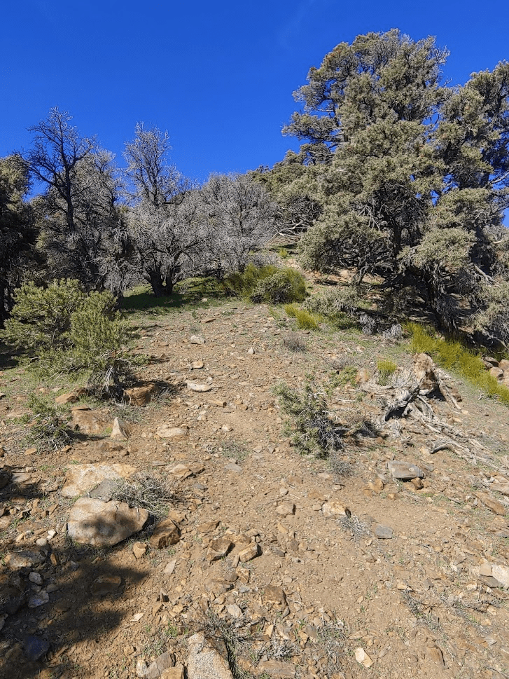
After maybe a mile, I found the gully I was looking for that would lead me down to the trailhead.
As I was descending the gully, I noticed a familiar pain on my left thigh and pulled another tick out. How the heck did it get there? I did a quick check for more ticks before continuing. I wondered if I picked them up on this hike, the morning hike, or possibly even the previous day. I continued down the gully which was steep and sandy.
There was water flowing along portions of the gully.
I made pretty quick time. The only real hazards were numerous downed trees that I had to climb over or around. At 9.78 miles I intersected the PCT once more. I had only about 0.75 mile to go. As I was nearing the trailhead, I noticed a small snake in the middle of the trail. It didn’t make any sound, so I don’t think it was a rattlesnake.
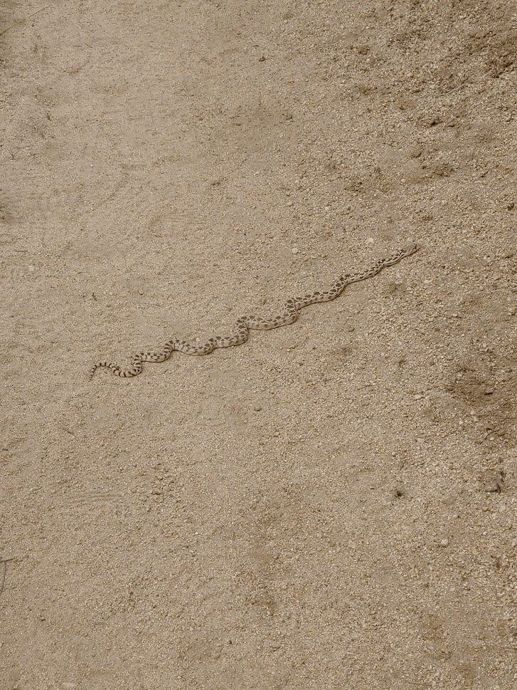
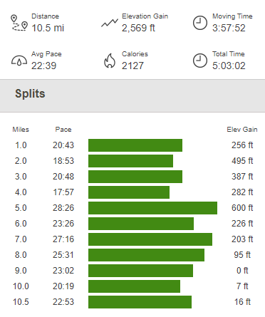
I thought about all the hazards I had faced this weekend – a snake, a skunk, ticks, and even a bear! I finally reached the car at 2:51pm. The final hike of the weekend totaled 10.5 miles, 2569 feet elevation gain, and 5:03:03 total time.
I was sad that my adventure was over, but I was also extremely exhausted, so I was excited to get home. I had hiked over 40 miles and had gained nearly 15,000 feet of elevation! I had really enjoyed the area and was excited for the snow to melt in the next few months on the higher peaks further north.
