For the 2nd day in a row, I decided to tackle a peak on the Sierra Club Lower Peaks List. My goal today would be Sierra Peak, which is a 3045 foot peak on the northern end of the Santa Ana Mountains. The mountain, which lies on the border between Orange and Riverside Counties, has nothing to do with the Sierra Nevada, so I have no clue where the name comes from. The entire hike would be on dirt roads with gentle grades, which I thought would be ideal since I was still recovering from a minor knee injury. It took me 1 hour 20 minutes to drive to the Skyline Drive Trailhead in Corona. I was shocked at how busy it was when I arrived at 7:45am. There must have been 100 cars parked on the side of Foothill Parkway, so I had to park about a half mile up the road. I started hiking at 7:53am from 1133 feet above sea level.
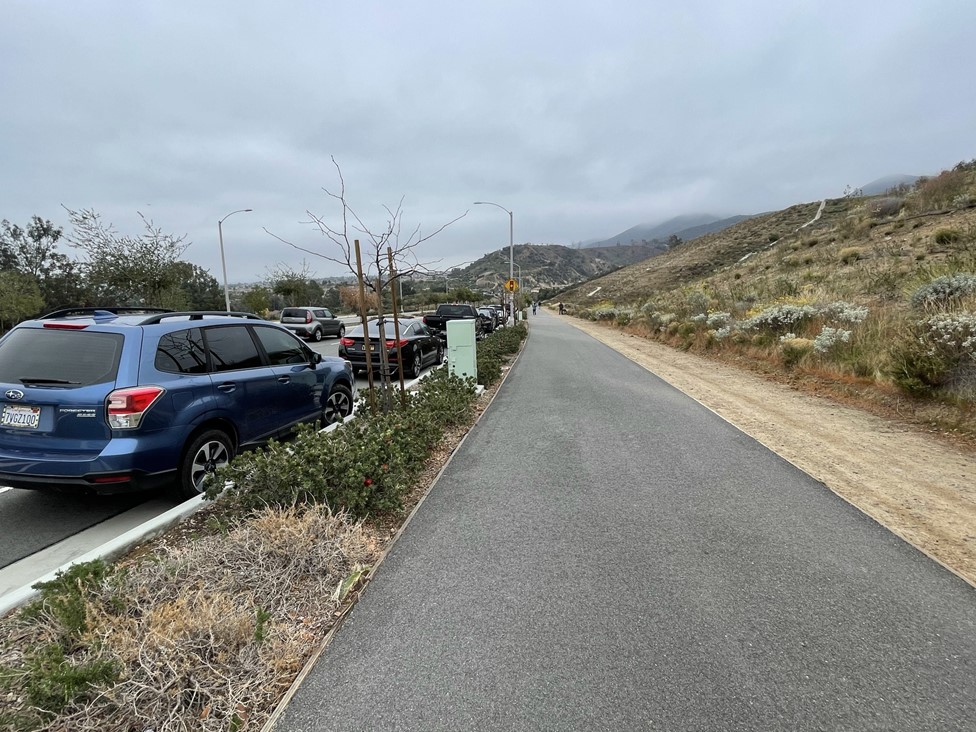
It was much cooler than the previous day. The skies were overcast, and the temperature was in the low 50s. I walked down the sidewalk and reached the trailhead at 0.4 mile. The trail started out paved as it went around the backside of a suburban neighborhood.
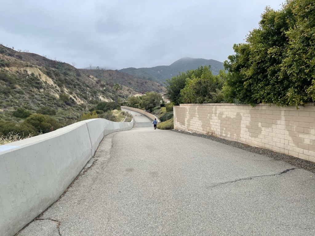
The trail made a sharp turn to the west and then the pavement ended at a gate at 1 mile.
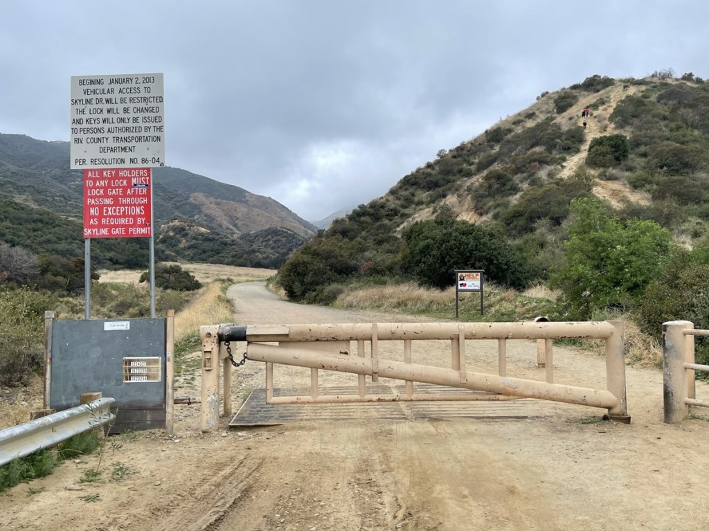
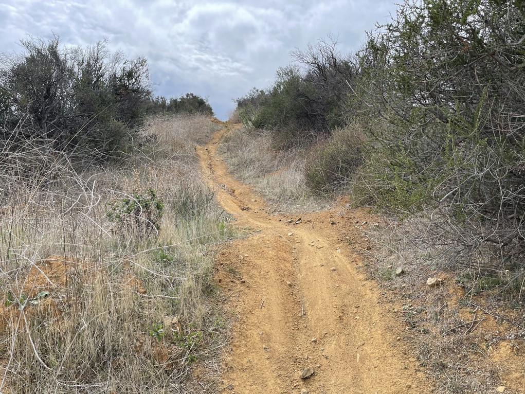
The dirt road started out flat, but then made a sharp turn to the right at 1.5 miles where it began to gain elevation.
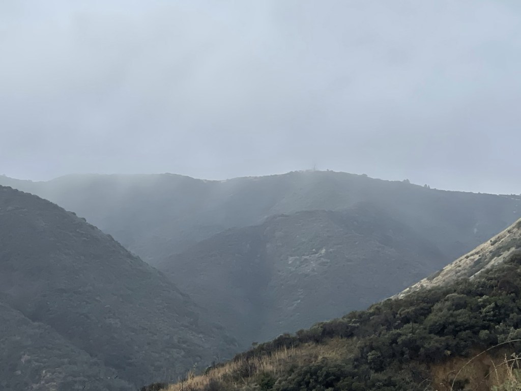
Dozens of other people were out enjoying the cool weather. Most were hiking, but there were a decent number of trail runners and mountain bikers too. There were also a lot of dogs. It was very cloudy, so the upper ridges of the mountain were obscured.
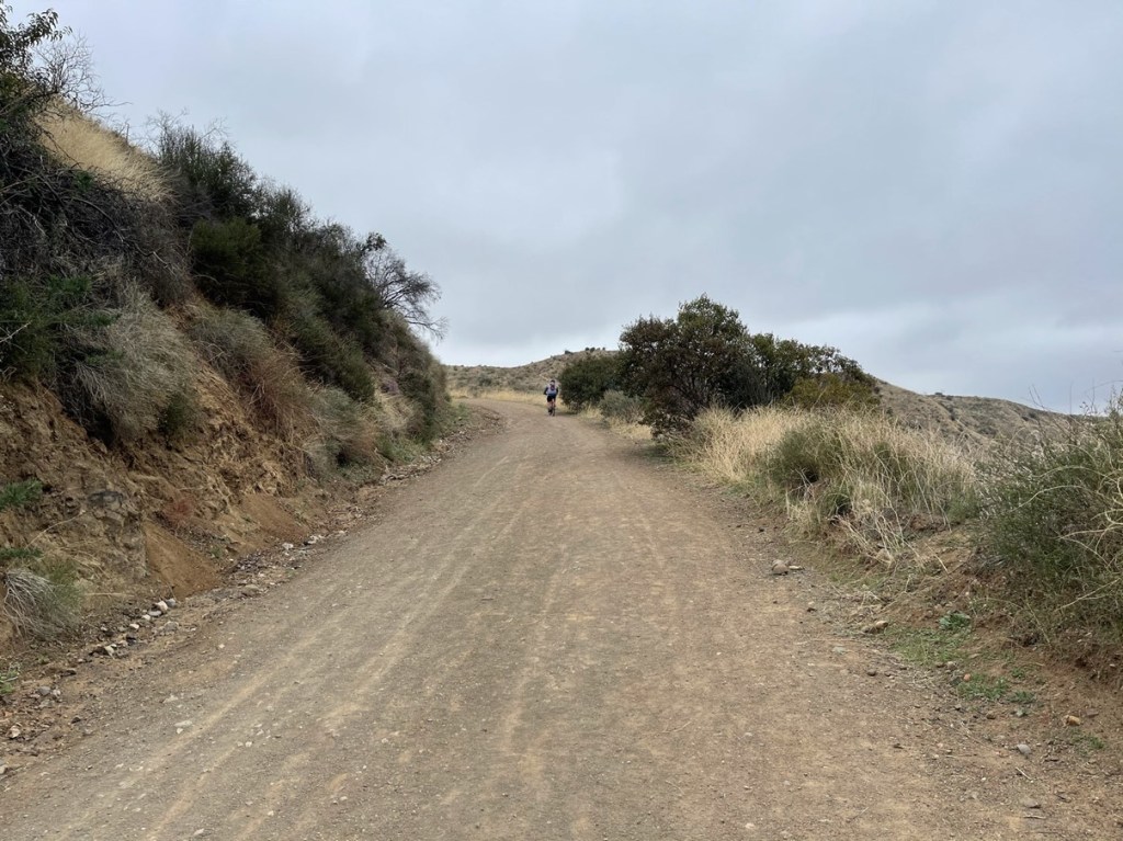
The road made a lot of switchbacks as it winded its way up the mountain to the west. The elevation gain is constant but very gradual. The road is in excellent shape and would be drivable if it wasn’t gated. At 3.3 miles I saw a car wreck halfway down the side of the mountain. A passing hiker told me there are more car wrecks further up (I didn’t find any more).

Shortly after that I spotted 4 radio masts off in the distance.
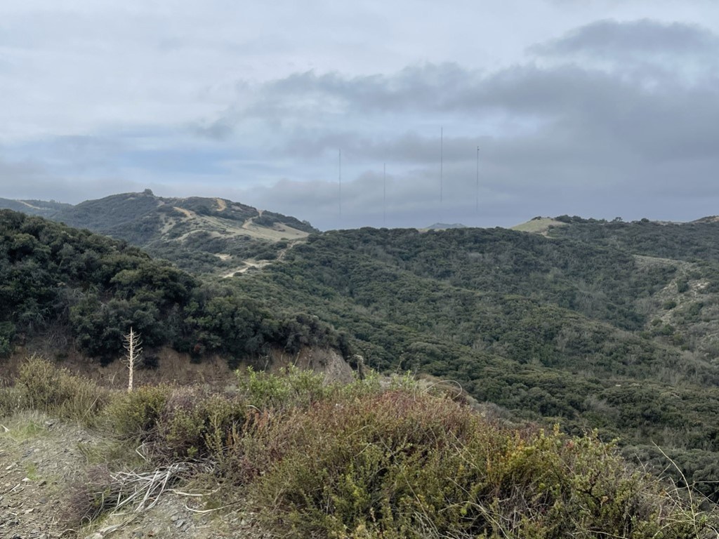
The road reached a crest and then made a slight descent. At 5.2 miles I reached a T intersection at the radio masts. The Skyline Trail ends here, while the Main Divide Road goes north and south. I sat down and had a quick snack underneath the towers.

I went north on the Main Divide Road towards Sierra Peak. I could see the communication towers atop its summit in the distance.

I noted many side roads heading down to the west. Most were gated with private property signs.
The road made a few minor ups and downs, and then one final uphill push near the summit. An SUV and jeep passed me from behind about a half mile from the top. I noted some recent burn evidence just off the road.

I made the final push to the summit and reached the top at 10:26am at the 7.7 mile mark! I did not find a register, but I located the “Sier” benchmark and reference marker no. 1


The numerous communication towers on the summit were definitely an eyesore.

The views were disappointing due to the cloud cover. I could barely make out the tops of the San Gabriels to the north.

Even the higher peaks of the Santa Anas to the south were obscured.

I met another hiker taking a break on the summit named Mike. He had ascended a route from the north starting near the 91 Freeway. The hike from that side is fewer miles but significantly steeper. We had fun discussing our plans to hike in the actual Sierra this upcoming summer. After a long break, I began hiking back to the south along Main Divide Road. Note the large golf ball in the below picture (right center).

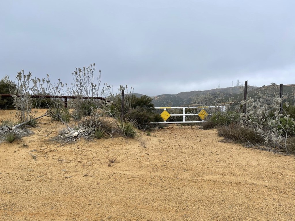
I reached the junction of the Skyline Trail and Main Divide Road at 10.5 miles. Instead of heading back down the Skyline Trail, I chose to add another unnamed peak (3020 feet) to my hike. I continued north on Main Divide Road. I hiked for about a half mile and then turned left at a fork and passed through an open gate. At 11.1 miles I reached the ruins of an old homestead known as Beeks Place.

A man named Joe Beek built this place in 1929 as a summer retreat for his family. There were 2 separate buildings.

There was also a large metallic structure which apparently is the remains of an old wind generation project.

After exploring Beeks Place, I continued south towards Peak 3020. I reached the summit with the golf ball at 11.4 miles.
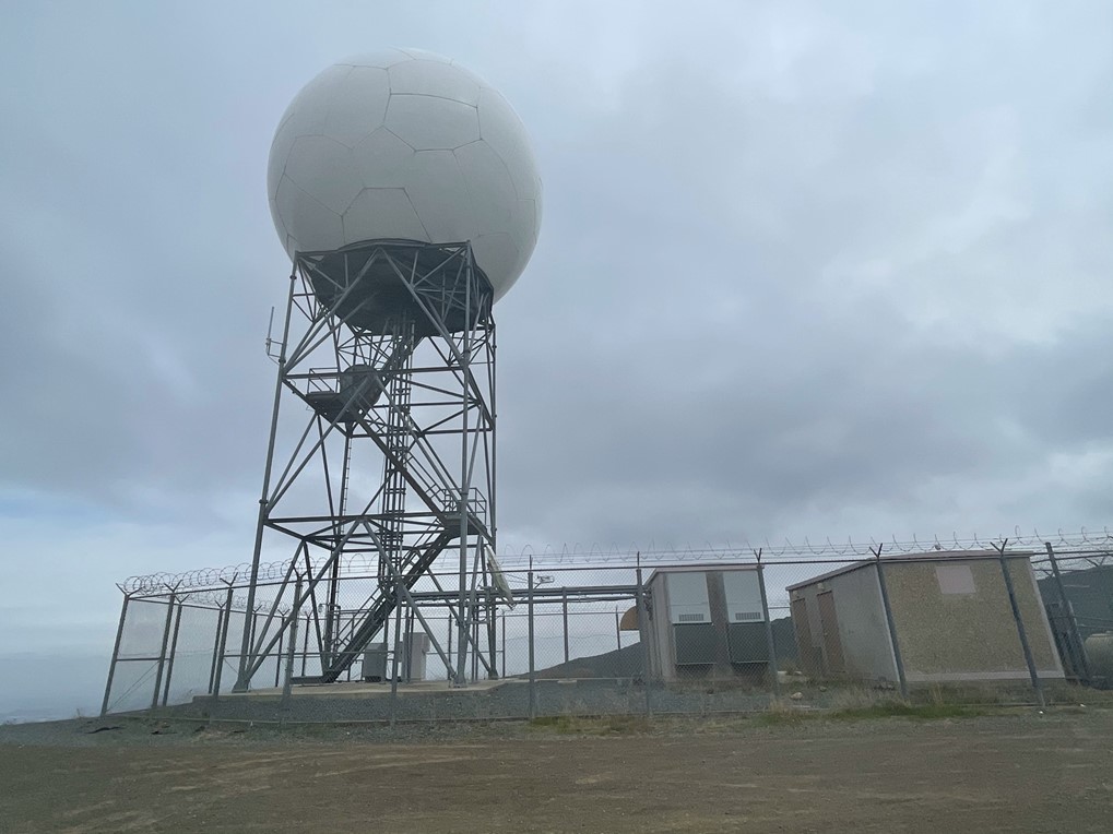
The golf ball is actually the local ABC station’s Doppler radar tower. The clouds had cleared a little so I could actually see the San Gabriels rising above the Los Angeles basin to the north. Mount Baldy is the high peak on the left.

I could also see the towers on Sierra Peak just a few miles to the north.

I began the descent at 12:35pm. I headed back down the Main Divide Road and reached the Skyline Trail at 12.4 miles.

I began the long descent down the Skyline Trail. There were still tons of other hikers and bikers out. At 13.7 miles I left the road to climb one final unnamed peak (2694 feet). Peak 2694 is just a minor highpoint along the ridge that the Skyline Trail follows. There are many narrow bike trails that shoot off the main road and follow the top of the ridgeline. I followed one of these trails to the summit.
I reached Peak 2694 at 1:25pm at 13.9 miles! I found a glove and a pair of socks.

I could see all the way down to the beginning of the Skyline Trail and the suburban neighborhood in Corona that it starts in.

I followed a separate bike trail back down to the road, which I reached at 14.4 miles.

From there, I followed the road back to the trailhead. I reached the car once more at 2:50pm. This hike was 17.74 miles, 3432 feet elevation gain, and 6:57:26 total time.


