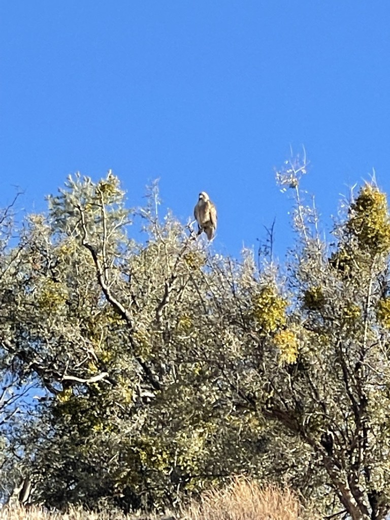
Day 1
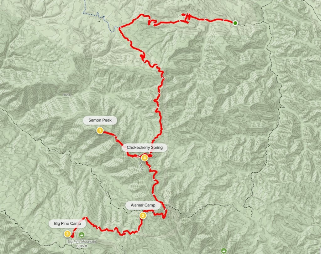
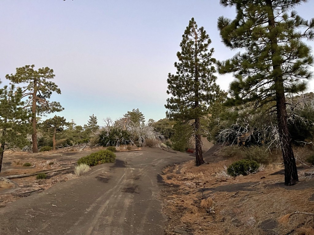
The Santa Barbara Big 4 are a group of 4 HPS peaks in the San Rafael Mountains of Santa Barbara County. They include Big Pine Mountain, which is the highpoint of Santa Barbara County at 6800 feet. The other 3 peaks are Big Pine Mountain-West Peak (6490 feet), Madulce Peak (6536 feet), and Samon Peak (6227 feet). The peaks are located in the remote interior of the mountain range and require many miles to reach. They are often done as a multi-day backpacking trip or bike ride, although some have tackled the 45+ miles as an extremely long day hike. I decided to do the hike as a quick overnight backpack, hoping to break it up into two 20-25 mile days. I left San Diego early Saturday morning and drove about 4 hours to the Santa Barbara Canyon trailhead in Los Padres National Forest. From Highway 166, I went south on Kirschenmann Rd, then east on Foothill Rd, and south on Santa Barbara Canyon Rd. Santa Barbara Canyon Road starts out paved but then deteriorates into a poorly paved road and then the last few miles are dirt. It was a little bumpy but should be okay for a passenger car. There were no other cars at the trailhead when I arrived. I began hiking at 8:25am from 3461 feet above sea level.

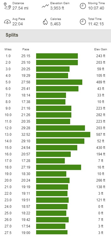
I proceeded through a latched but unlocked gate to the left of the main gate blocking the road.
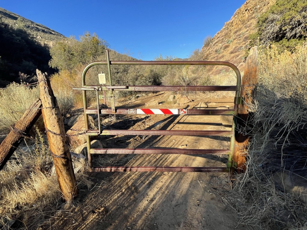
I noticed 2 large birds perched on top of the trees off to the right. They were squawking very loudly.
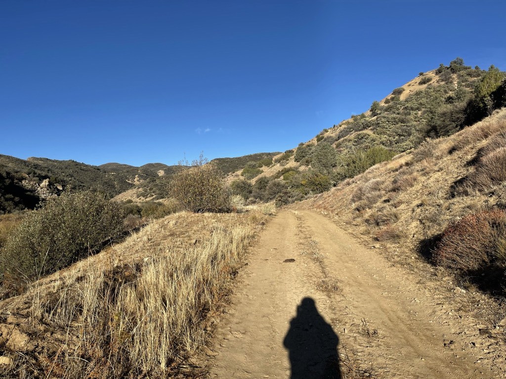
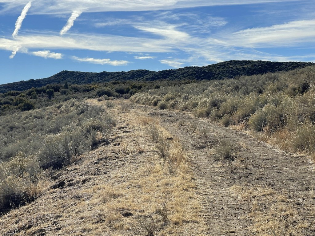
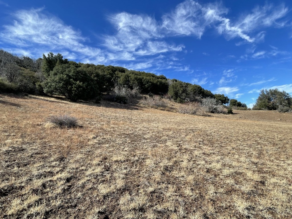
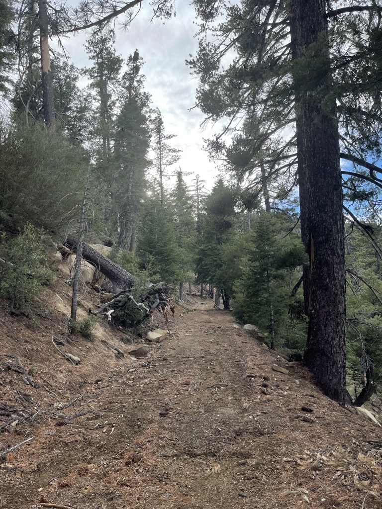
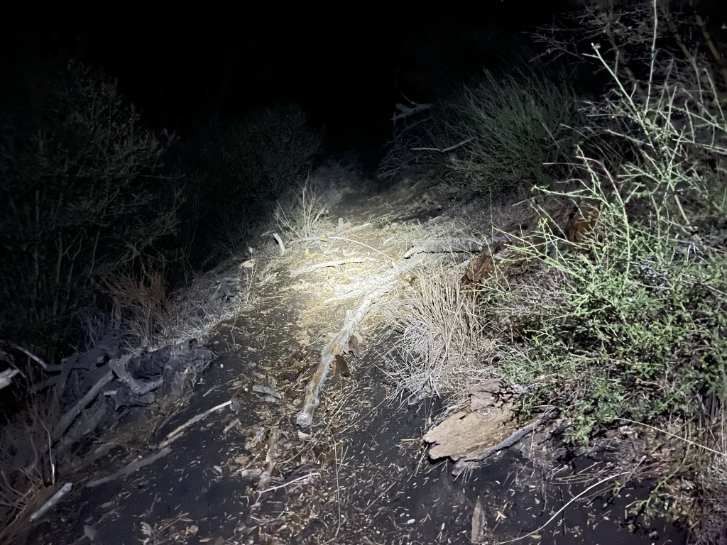
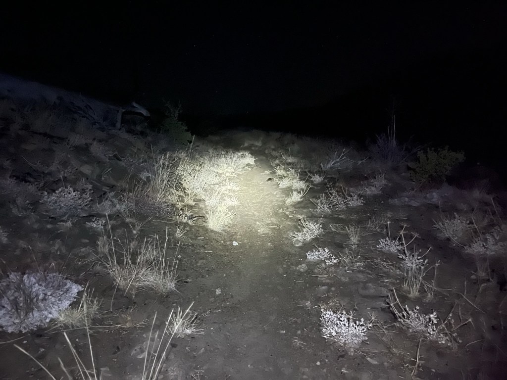
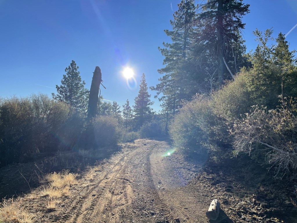
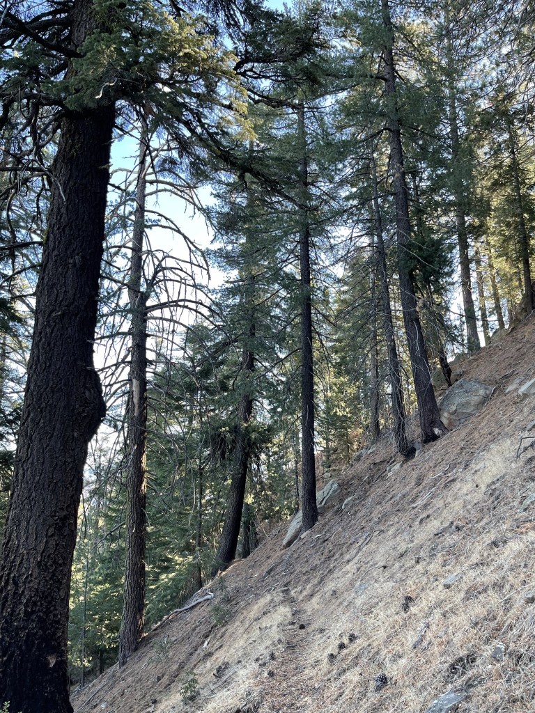
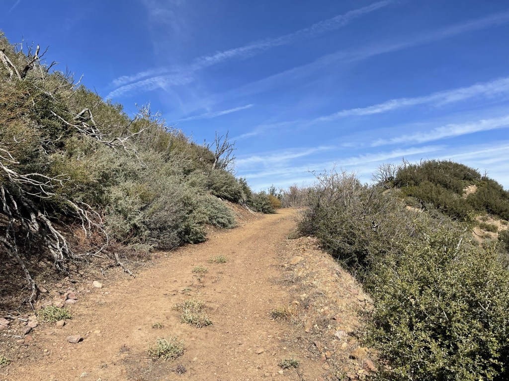
I hiked west down the dirt road. It was a little chilly, so I wore my fleece jacket, but it quickly warmed up.
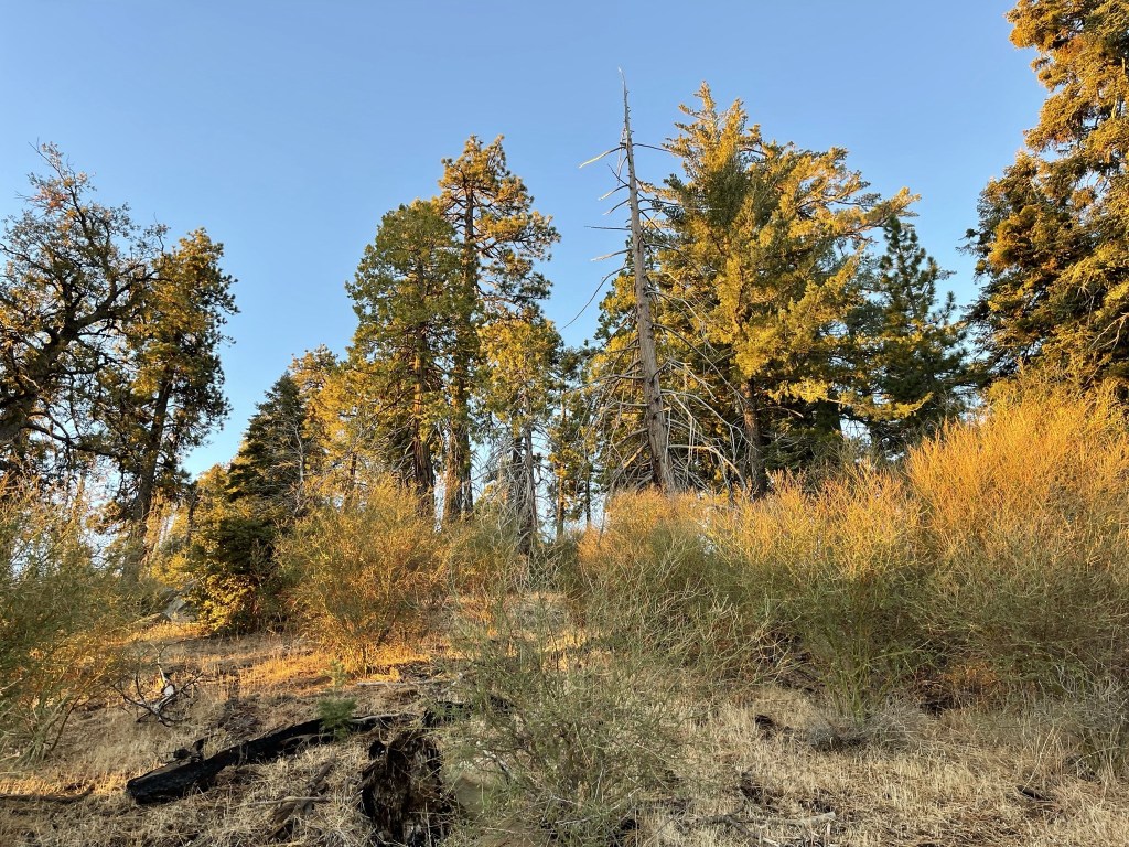
I passed a grove of trees with yellow leaves.

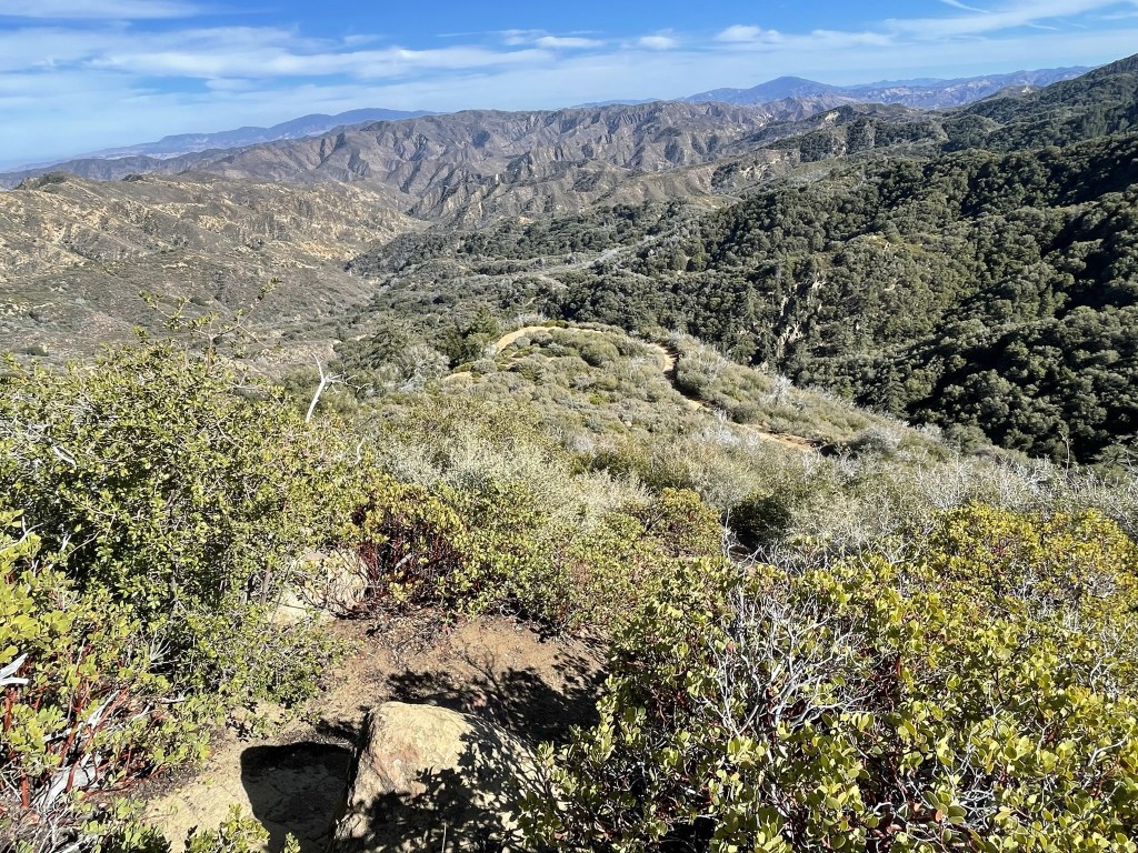
The road gradually gained elevation as it made a few switchbacks.

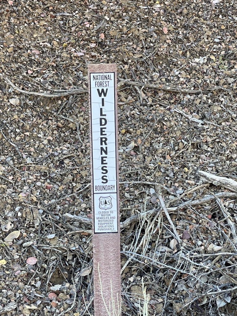
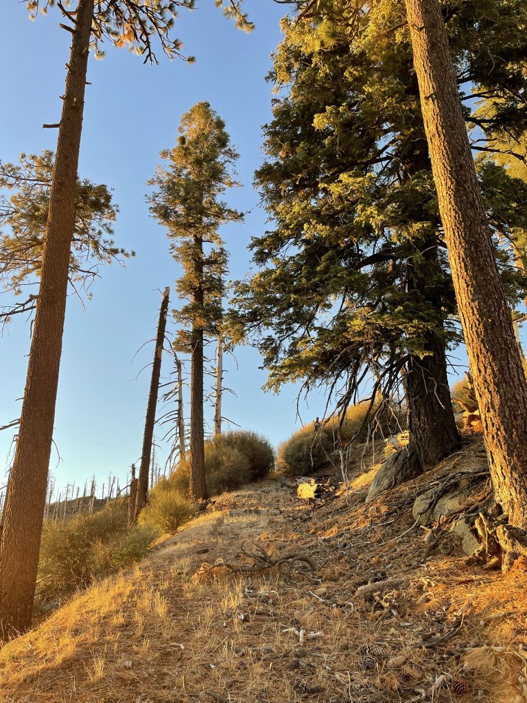
There were numerous wilderness signs on the side of the road placed at regular intervals. The road itself is outside the wilderness boundary.
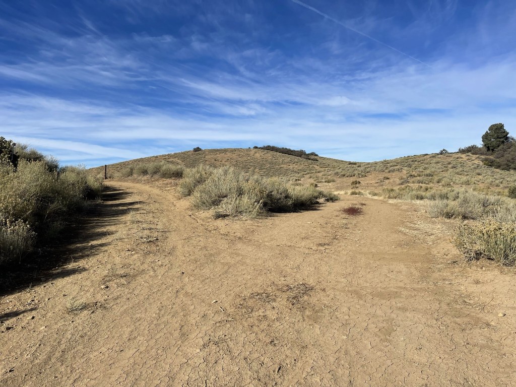
At 4.5 miles I reached a fork and went left.
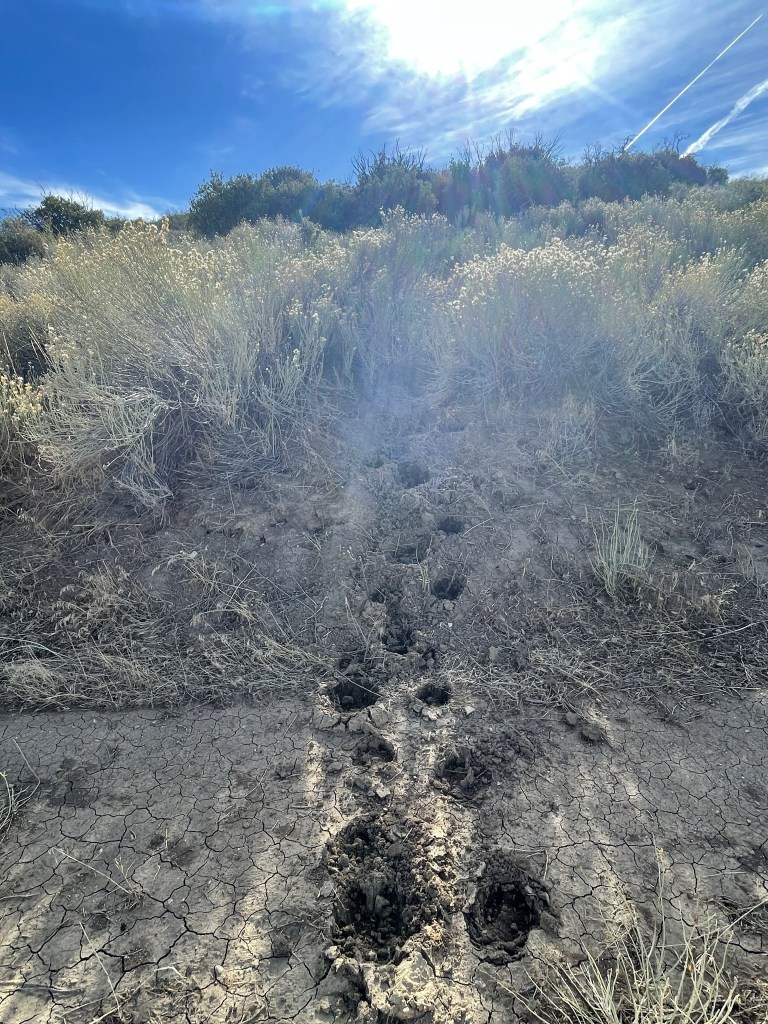
I saw what I thought were bear tracks leading into the brush. Whatever it was must have walked through right after it rained earlier in the week.
The road bent south after the fork.
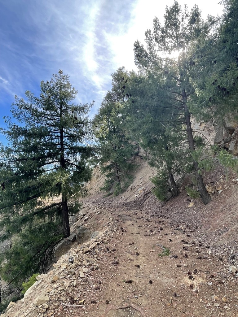
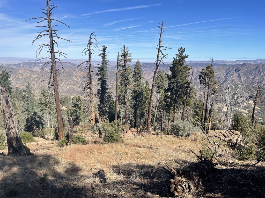
Pine trees appeared at the 7 mile mark.
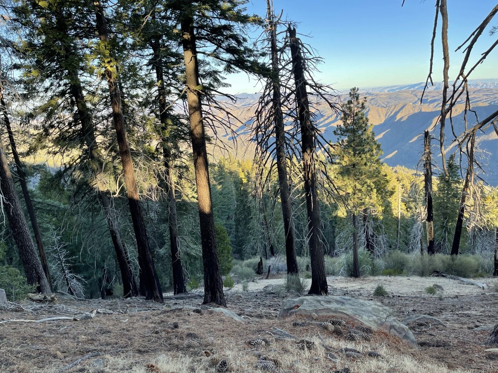
I got my first look at Samon Peak in the distance.
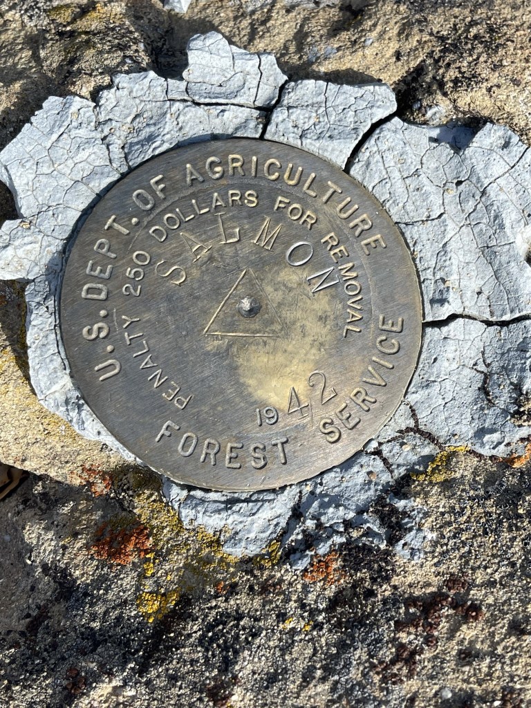
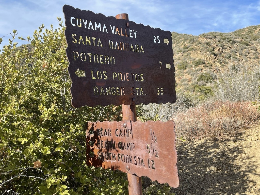
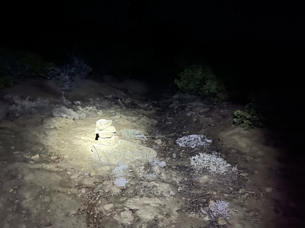
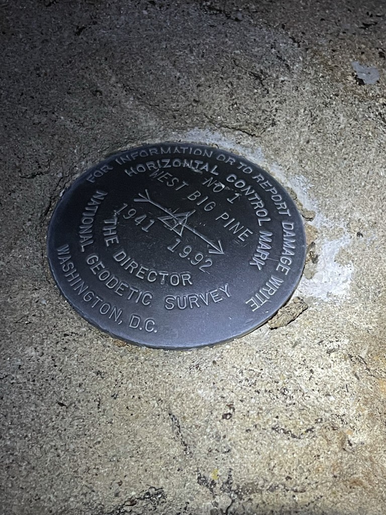
At 9.8 miles I reached the turnoff for Samon Peak. It was marked by a small cairn on the right side of the road. I was at 5413 feet so would need to climb about 800 feet to reach Samon.
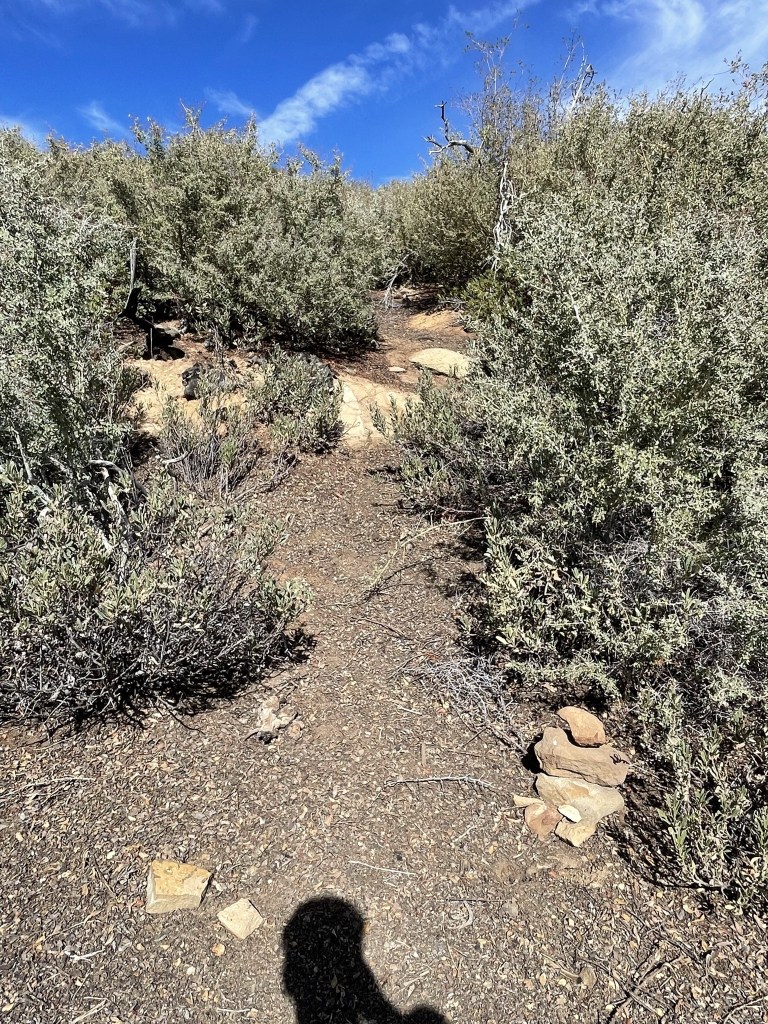
I dropped most of my gear and then followed the narrow use trail west from the road. It was initially very steep.

I crossed a small meadow after I had climbed a few hundred feet.
I soon gained the ridge and could see Samon Peak in the distance. The temperature was in the mid 60s but felt very warm in the hot sun.
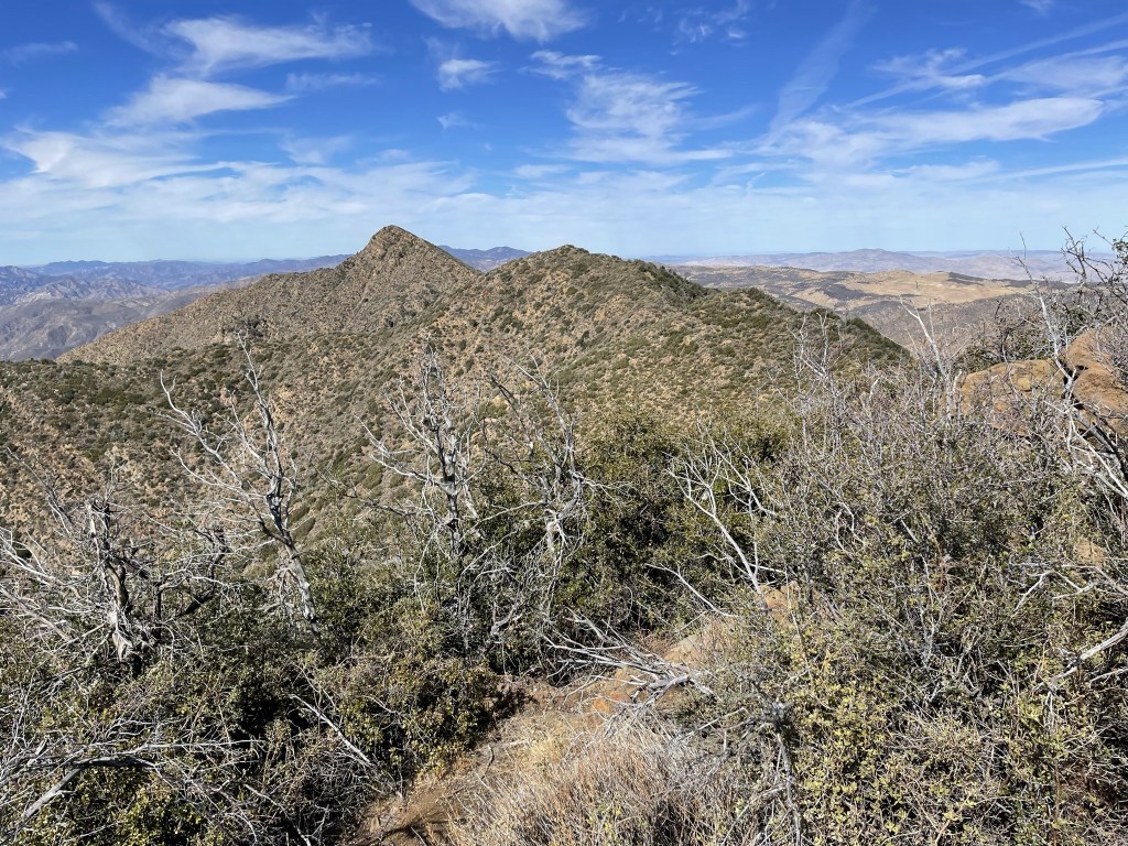
There were a few ups and downs along the ridge.
The brush was horrible along the ridge. There was a vague use trail I managed to follow the whole way (with GPS help), but it was extremely narrow and hadn’t been clipped in some time. I suffered numerous scratches on my arms, and the whole ordeal slowed my pace considerably.

The summit was now close!
I reached the summit at 12:59pm at 11.8 miles!

I signed the register which had been most recently signed on June 12. I noted that it had been placed in 1999 by Mars Bonfire, who is one of the most prolific HPS peakbaggers out there (he’s climbed every peak numerous times). I located the “Salmon” benchmark. I wonder if the name of the peak is actually just a typo for salmon?
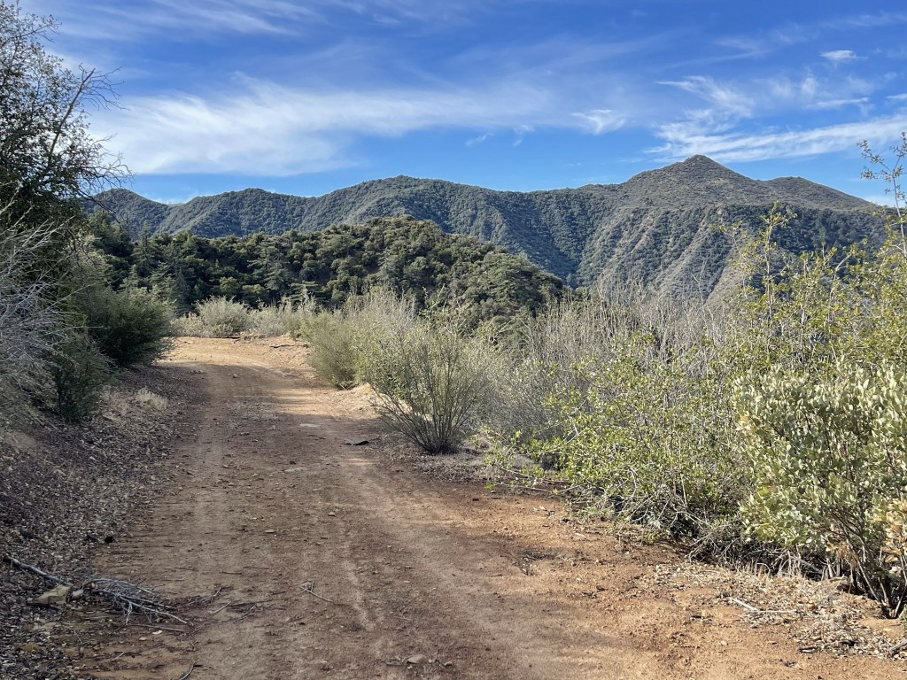
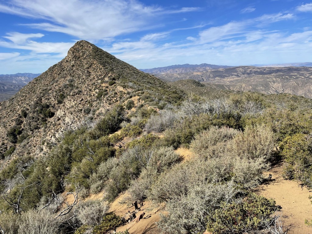
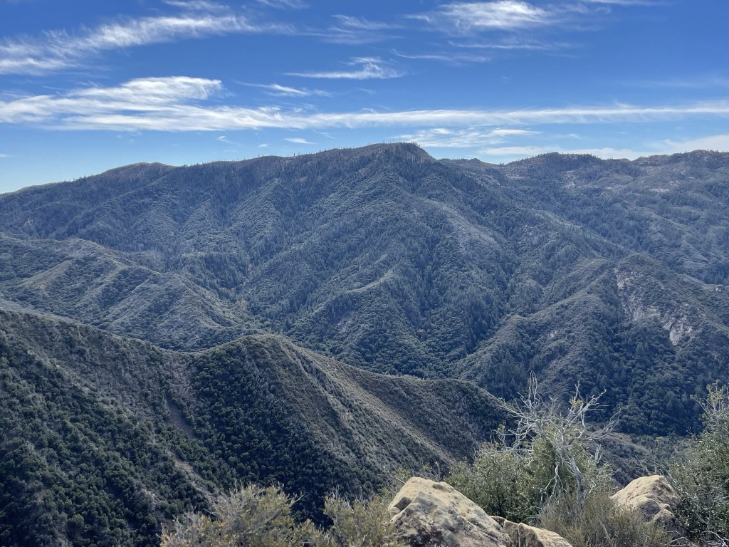
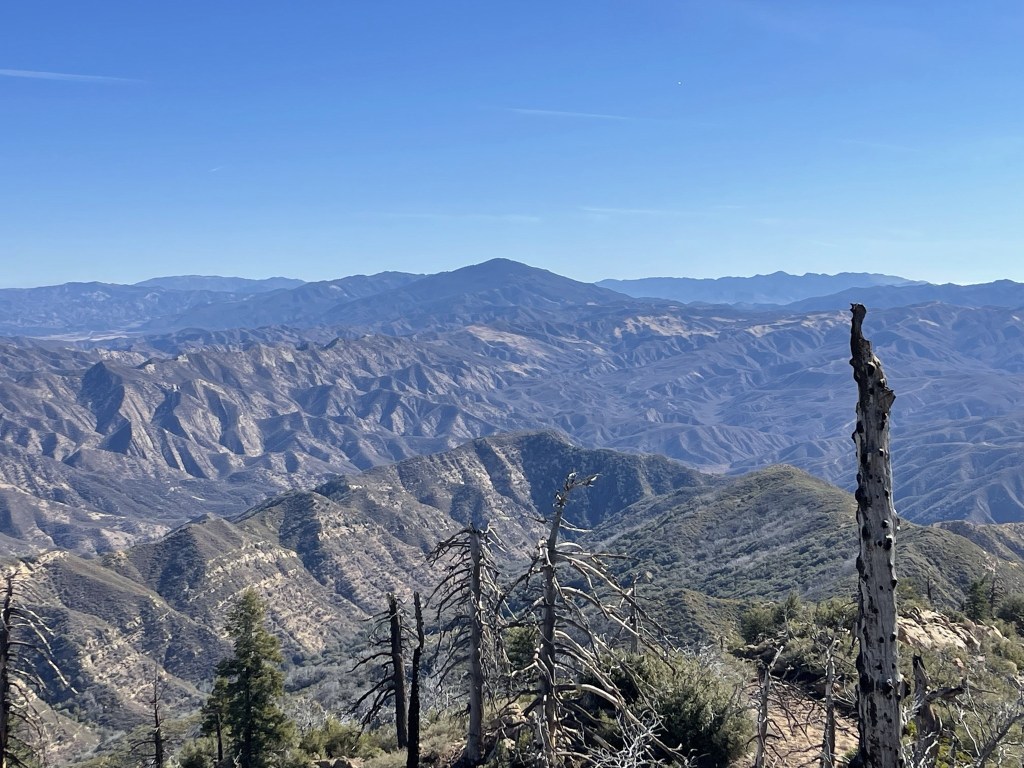
I could see Big Pine Mountain to the south:
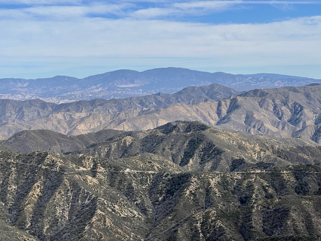
Mount Pinos to the east:
Caliente Mountain to the north:
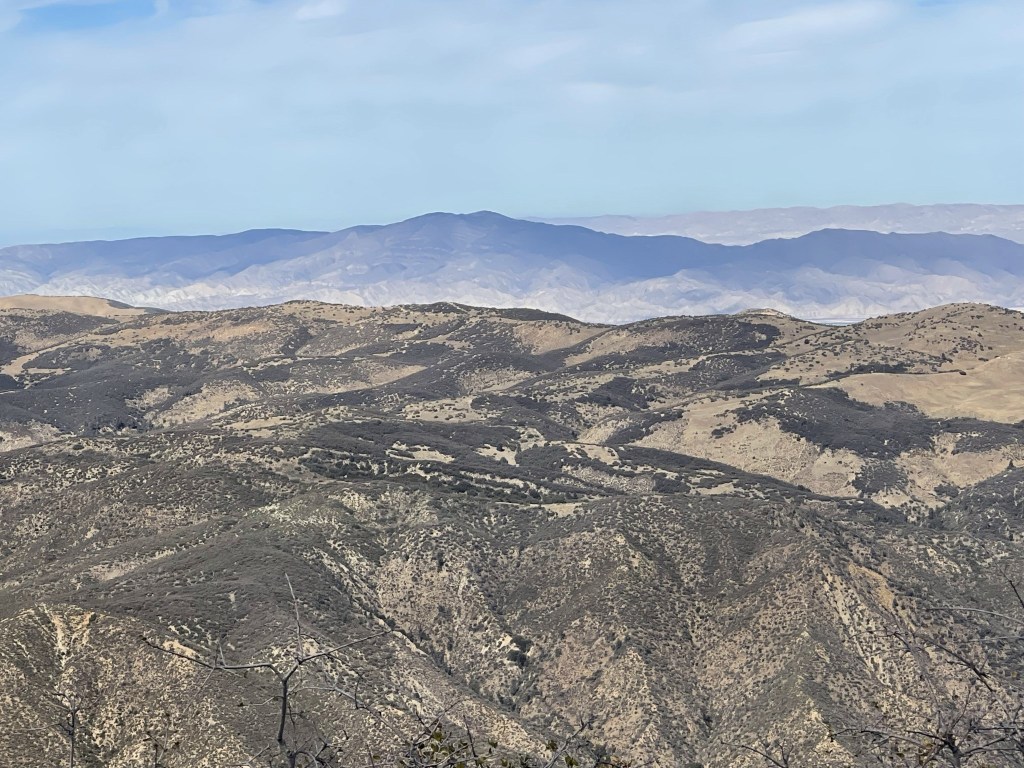
It was clear enough that I could even make out the white tops of the Sierra far to the northeast. After a 10 minute break I proceeded back down the ridge towards the road.

The return trip was just as painful as the ascent.
I reached the road again at 13.8 miles. I picked up my gear and walked a short ways to Chokecherry Spring. Water is piped in from the spring and deposited in a large trough on the side of the road. I was nearly out of water, so I refilled here. The water in the trough looked disgusting but thankfully there was a trickle of water flowing out of the pipe. It was a pretty tedious process since the water was flowing at a rate of about 5 minutes per liter.

I headed south down the dirt road once I had enough water for the rest of the day.

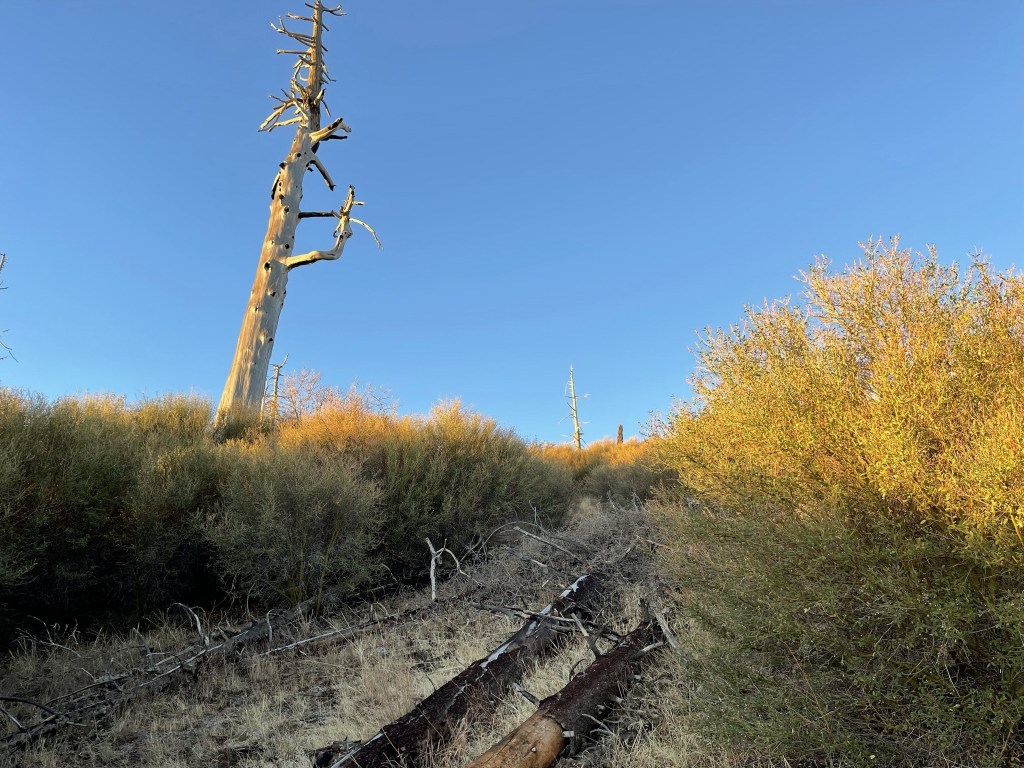
The fall colors were pretty.

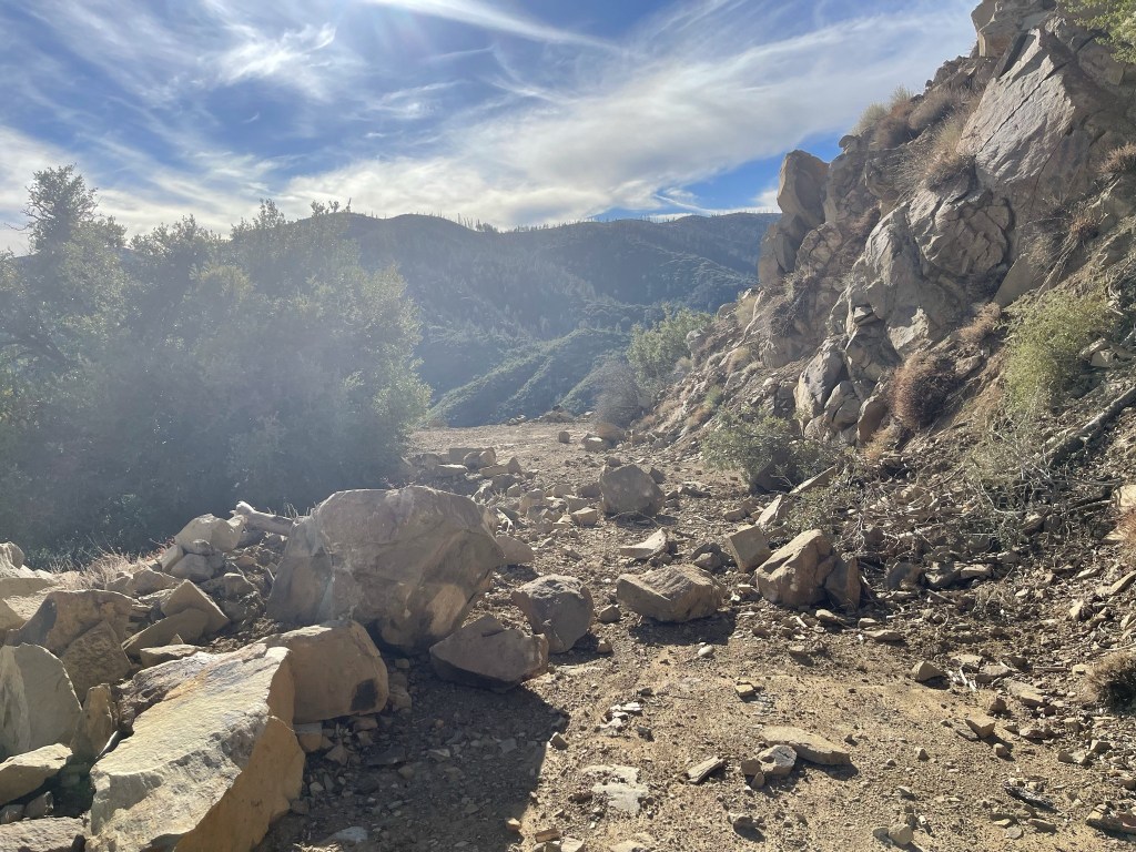
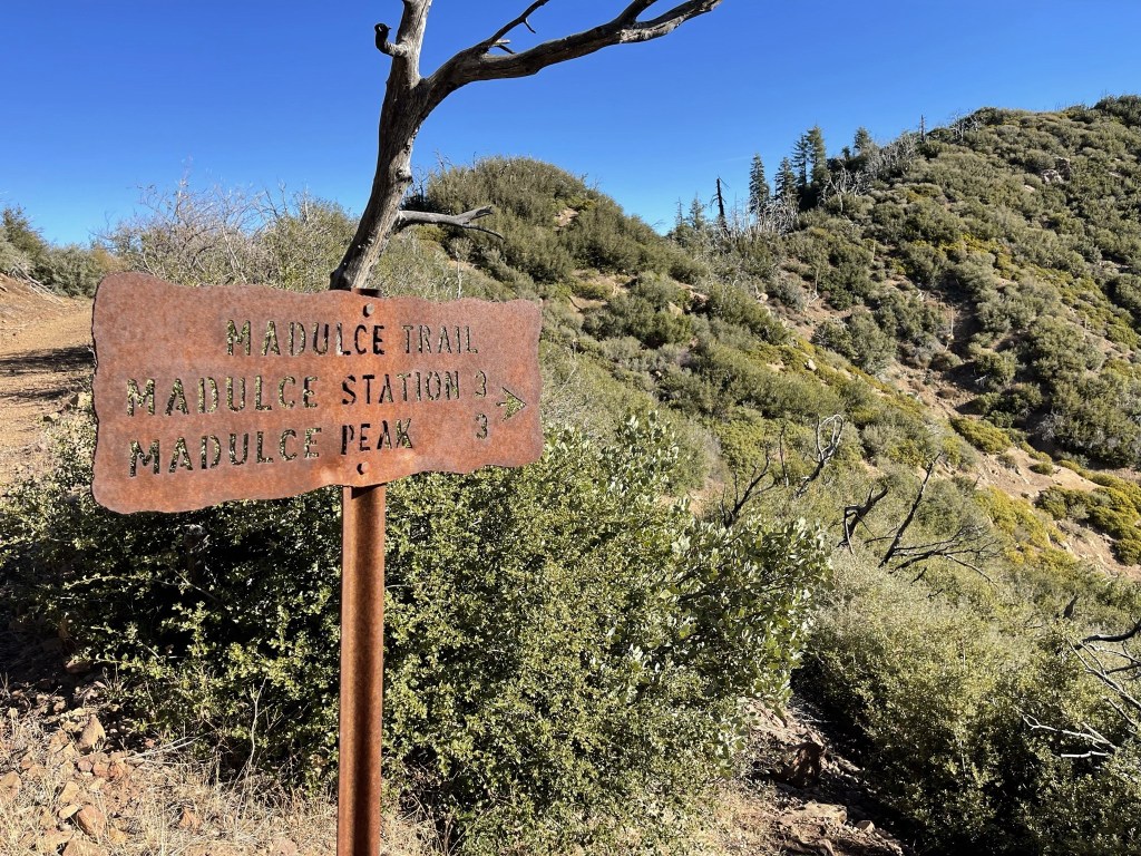
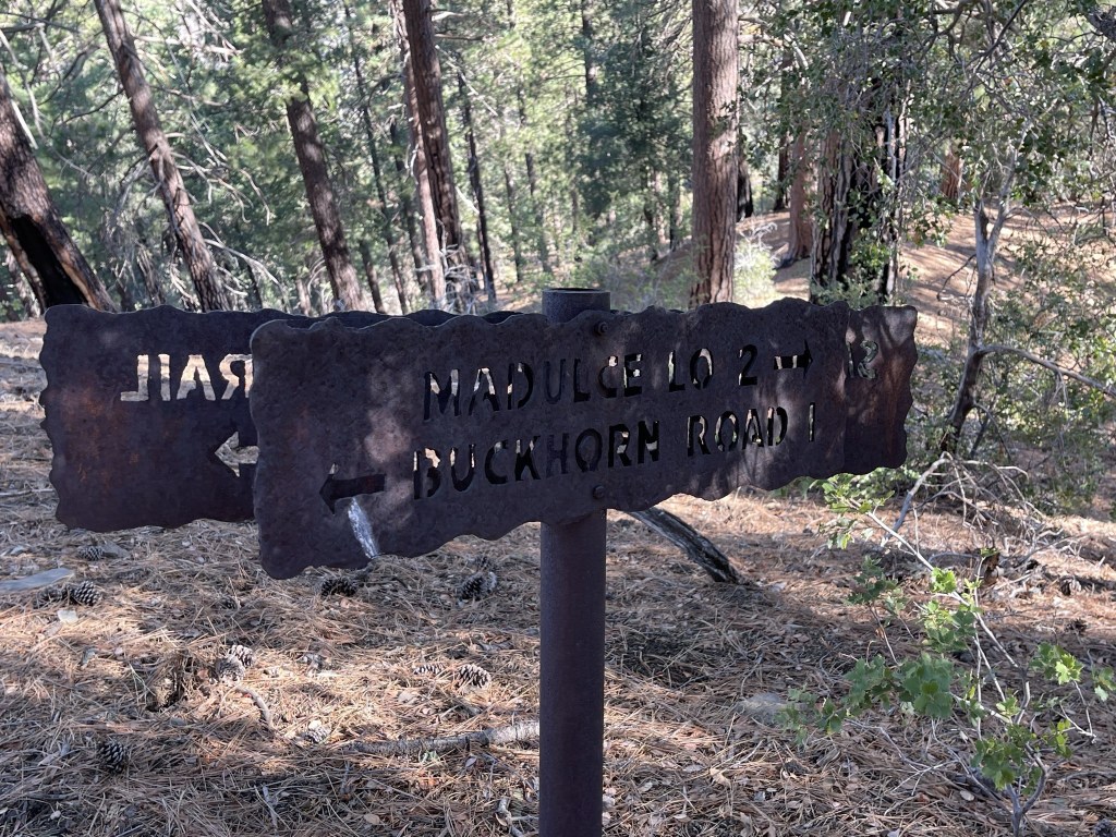
I reached the turnoff for Malduce Peak at 15.8 miles. It was already 3:30pm so I figured I didn’t have enough daylight to climb Malduce and get back to the road before dark. I decided to hike south a few more miles to Big Pine Camp and spend the night there. I hiked past a small rockslide.
I reached the turnoff for the Sisquoc Trail at 17 miles. The Sisquoc Trail heads west from the road towards a number of backcountry campsites. I had considered staying at Upper Bear Camp but decided to try to get a few more miles in for the day.
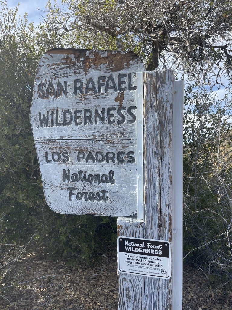
The Sisquoc Trail heads into the San Rafael Wilderness.
Alamar Camp lies just beyond the Sisquoc Trail turnoff. There were a few picnic tables and a fire pit. There is no water available here.
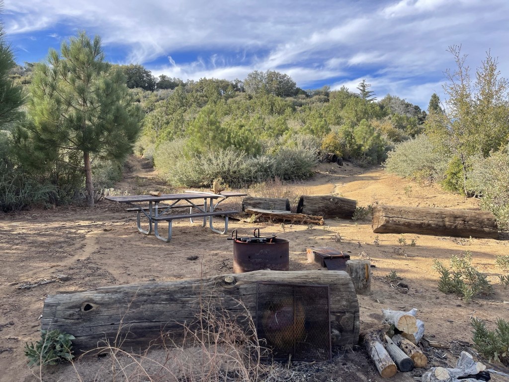
I continued south past Alamar Camp. 2 mountain bikers passed me from behind.

3 more mountain bikers passed me from behind as I neared the end of my day.
I passed the turnoff for Big Pine Mountain. It was starting to get dark, so I decided to save it for the next day.
I reached the turnoff for Big Pine Camp a short ways later.

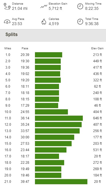
I hiked about a quarter mile west of the road to Big Pine Camp. There wasn’t much there except for a picnic table and a few flat areas to pitch a tent. I managed to get some water from nearby Big Pine Spring, although it was barely a trickle and took forever to fill up from. I basically was kneeling in mud trying to scrape as much water as I could from the streambed. I set up my tent, ate dinner, and had a very restful night of sleep. Totals for day 1 were 21.04 miles, 5712 feet elevation gain, and 9:36:38 total time.
Day 2
I woke up a little before 5am on Sunday morning. I wanted to get a pre-dawn start since I was anticipating a marathon day. I packed up my gear and made my way back up to the road.
I reached the road at 0.2 mile. My plan was to climb West Big Pine first since it was the furthest from the trailhead, and then hit Big Pine and Malduce on my way back. I turned south towards West Big Pine.

At 0.5 mile I reached a fork. I turned right (west) onto Mission Pine Trail.
Mission Pine Trail appeared to be an old road, but it was very overgrown and clearly hadn’t been used in quite some time. There were some cairns to help guide the way.
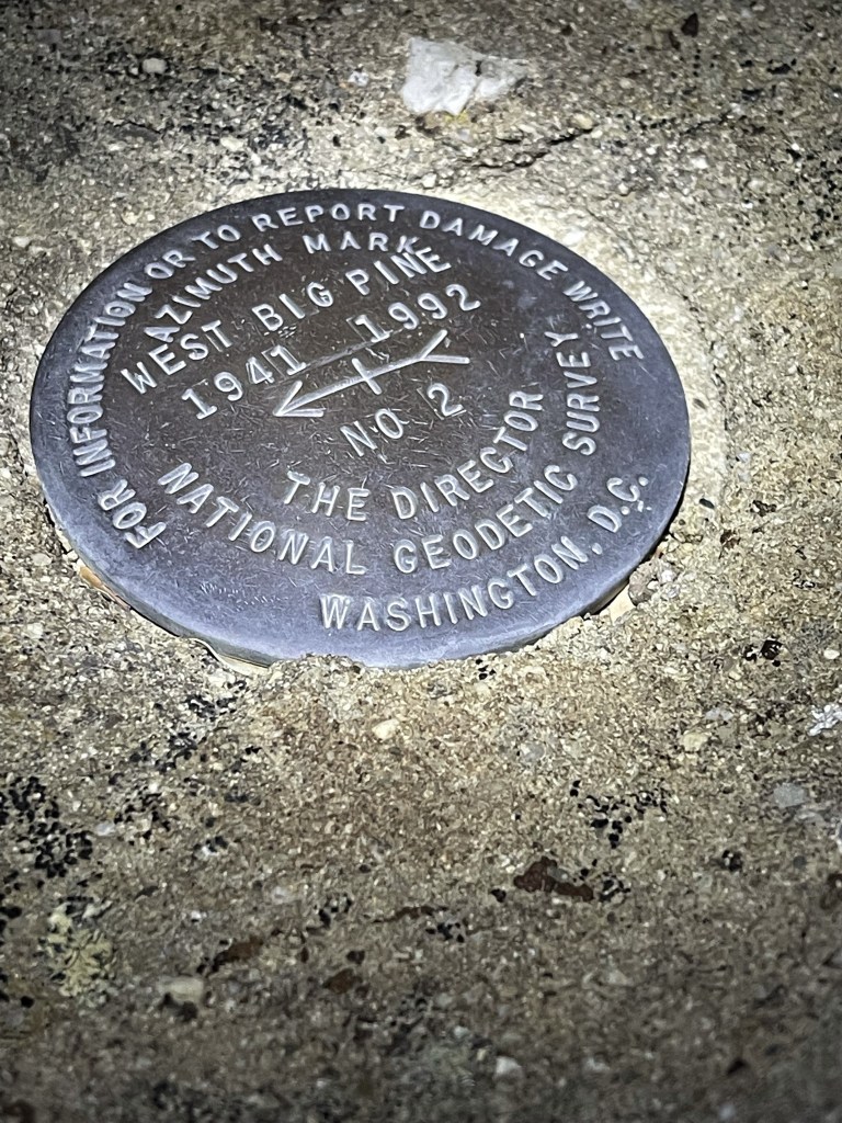
West Big Pine is a very short distance from the trail. I reached the summit at 6:20am at 1.9 miles. I signed the register which had been placed in 2014. The most recent entry was from June 13. I located 2 reference markers, but the benchmark appeared to be missing.
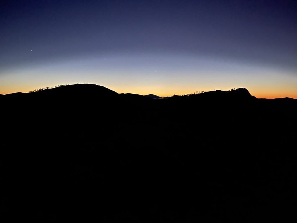
The first signs of dawn were materializing to the east. Big Pine Mountain is the peak on the left:
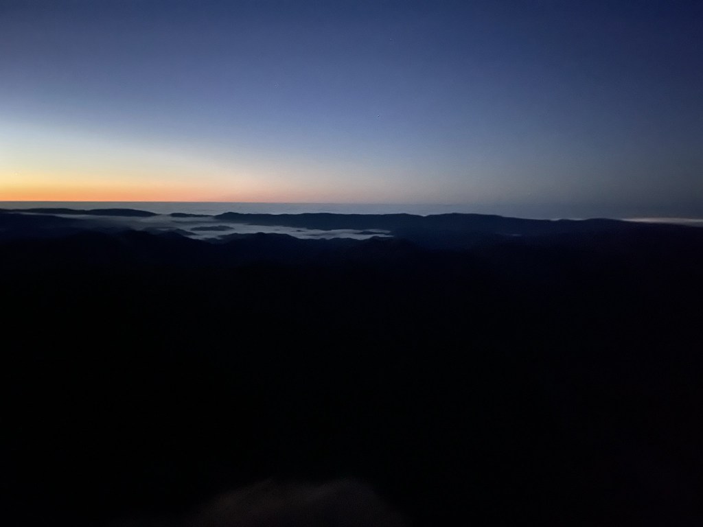
To the south I could see the marine layer over the ocean.
It was breezy on the summit, so it felt very cold so early in the morning. I continued after a 10 minute break.

I reached the main road again at 3.4 miles. It was finally starting to get light out.
I hiked north on the road, passing the turnoff for Big Pine Camp. At 4.3 miles I left the road to climb Big Pine Mountain. It would be a 500 foot climb in about a half mile.
I dropped most of my gear and started the ascent. It was steep initially but then leveled out somewhat.
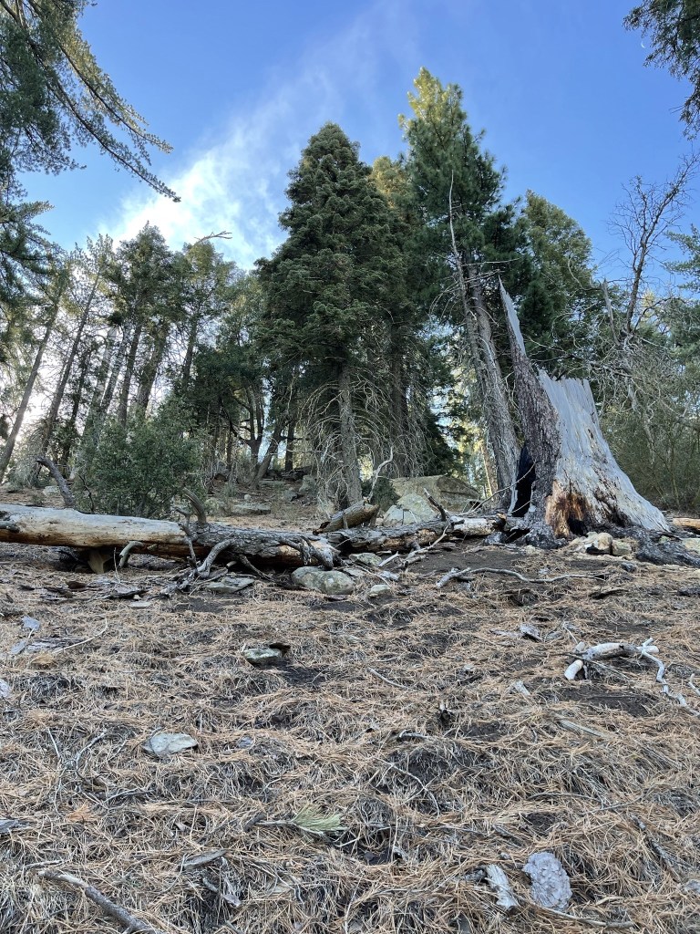
The summit area had burned pretty badly in the 2007 Zaca Fire. There were many burned trees and some thick brush. Thankfully I was able to find a path through the brush.
I reached the summit at 7:43am at 4.9 miles! It was my 16th California county highpoint (out of 58), and my first since Mount Shasta in August. There were a few boulders competing for the highest point, so I climbed all of them. I found the register on the northwestern-most boulder. The register had been placed in 2017 and was most recently signed on May 21. There were a few older register books as well. The views were disappointing. The summit was so flat and there was thick brush in every direction that was difficult to see over.

I began descending after a short break.
I reached the road once more at 5.8 miles.
I proceeded north along the road.
At 6.8 miles I saw a deer on the road in front of me. It ran away when I approached but I did manage this picture:

I passed the turnoff for the Sisquoc Trail at 8.4 miles. I then hiked uphill towards the Madulce turnoff.

I reached the Madulce turnoff at 9.5 miles at 6173 feet.
I dropped most of gear and proceeded on the trail. I entered the Dick Smith Wilderness a short ways from the road.

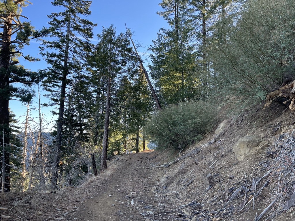
The trail started out in very good shape.

The trail initially followed the south side of the ridge and then crossed over to the north side.

The north-facing hillside was heavily wooded.
At 10.5 miles I reached a fork and went right.
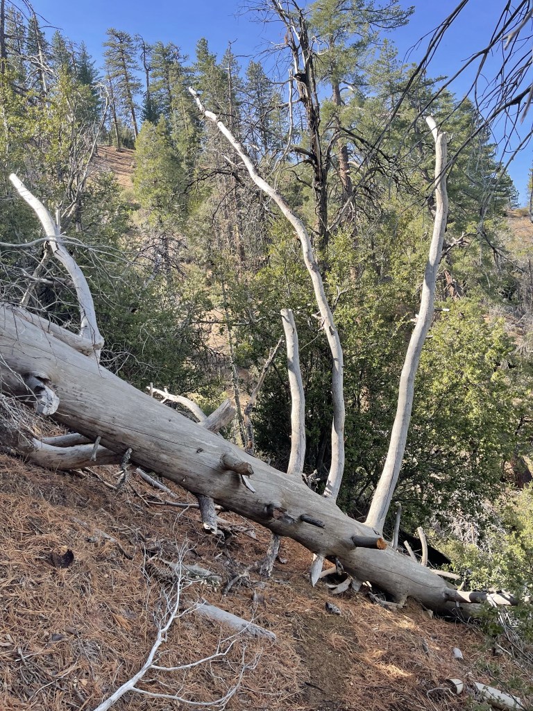
The trail rapidly deteriorated beyond the fork. It got very brushy and there were many downed trees to climb over.

The trail actually descended about 300 feet from the road to this point. It then finally started to make steep switchbacks back up to the ridge.
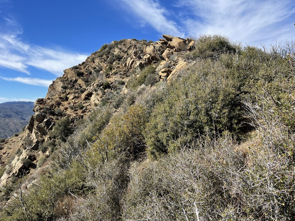
I hiked past a very interesting hollowed-out rock.

It was a steep climb to the ridge.

Once on the ridge, I turned south and hiked the rest of the way to the summit.
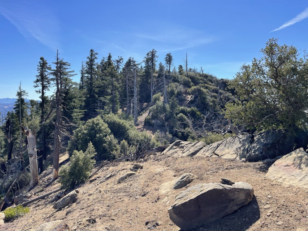
I reached the summit at 11:07am at 12.5 miles!

I signed the register which dated to 2002. The most recent entry was from June 13. There was a ton of broken glass on the summit as well as 3-4 of these things:

Big Pine Mountain to the west:

The Channel Islands above the marine layer to the south:

Reyes Peak and Hines Peak to the southeast:
And Mount Pinos to the west:

I began the return trip after a 15 minute break.

I climbed back down the steep slope on the north side of the ridge.
I then retraced my steps along the narrow trail while climbing over the many downed trees.
I reached the road once more at 15.5 miles.
I was glad to be back on the road but knew I still had 12 miles to go.

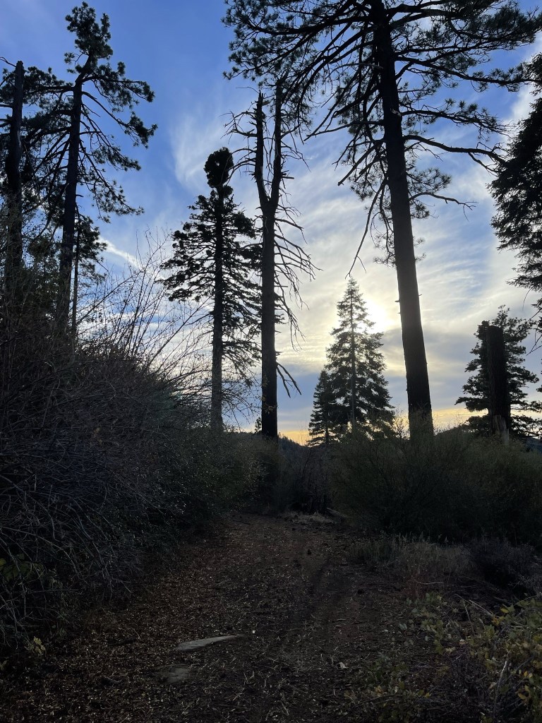
I reached Chokecherry Spring at 17.3 miles and refilled my water again. The water from the pipe seemed to be trickling even more slowly than the previous day, but thankfully I didn’t need very much to get me through the rest of the hike. From that point it was a straightforward walk back to the trailhead. I stopped only for a few quick snacks along the way and to give my poor feet a break every now and then. The skies began to cloud up as I neared the end.

I reached the car once more at 5:14pm. Totals for day 2 were 27.54 miles, 3953 feet elevation gain, and 11:42:15 total time.