San Gorgonio Mountain is the highest mountain in Southern California at 11499 feet. It is also the 7th most prominent mountain in the contiguous United States with a ridiculous 8294 feet of prominence. I had climbed it twice before, in June 2018 from Vivian Creek and in August 2021 via an off trail route starting from Fish Creek. I had never climbed it in winter before, so that was the plan on this chilly March morning. My new friend Mike would be joining me. We had taken a winter mountaineering course a few weeks prior and were eager to put our new skills to use. I left San Diego just after 3am and met Mike at the South Fork Trailhead. We began hiking at 5:35am from 6882 feet above sea level. The temperature was 36 degrees.

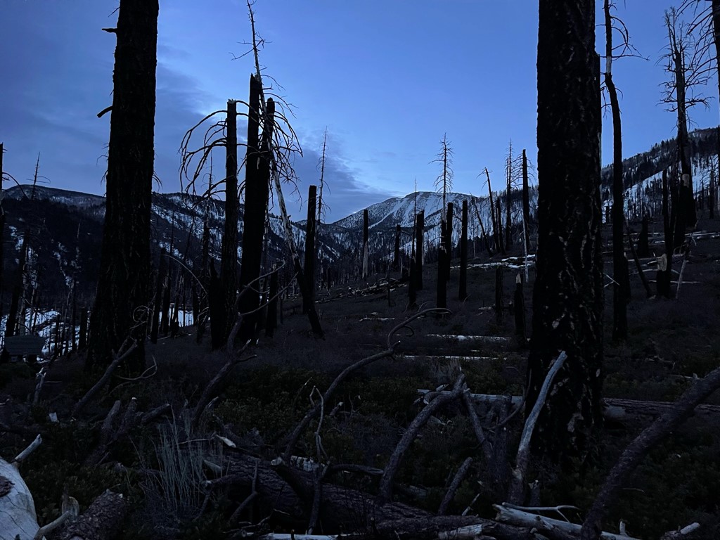
The moon was nearly full, so we turned off our headlamps. It was so bright that appears like a sunrise in the picture below.

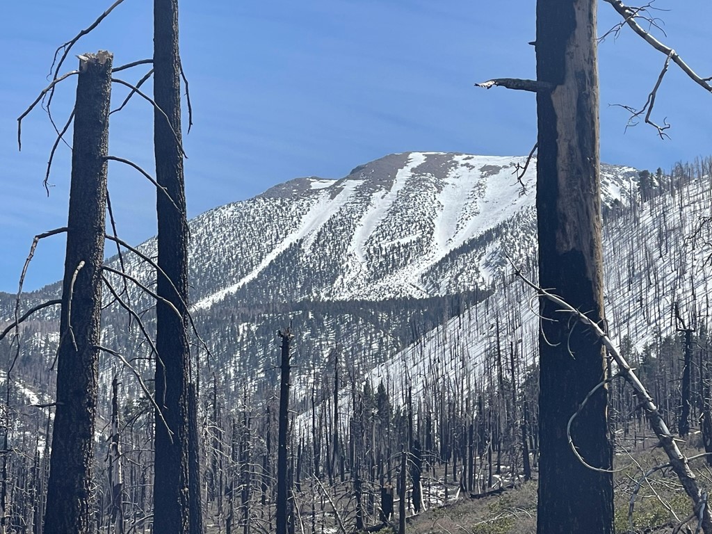
We followed the South Fork Trail as it meandered southeast through the burn scar from the 2015 Lake Fire. We got our first look at San Gorgonio in the distance.
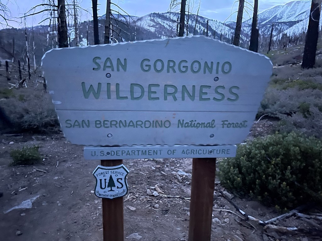
We entered the San Gorgonio Wilderness shortly after.
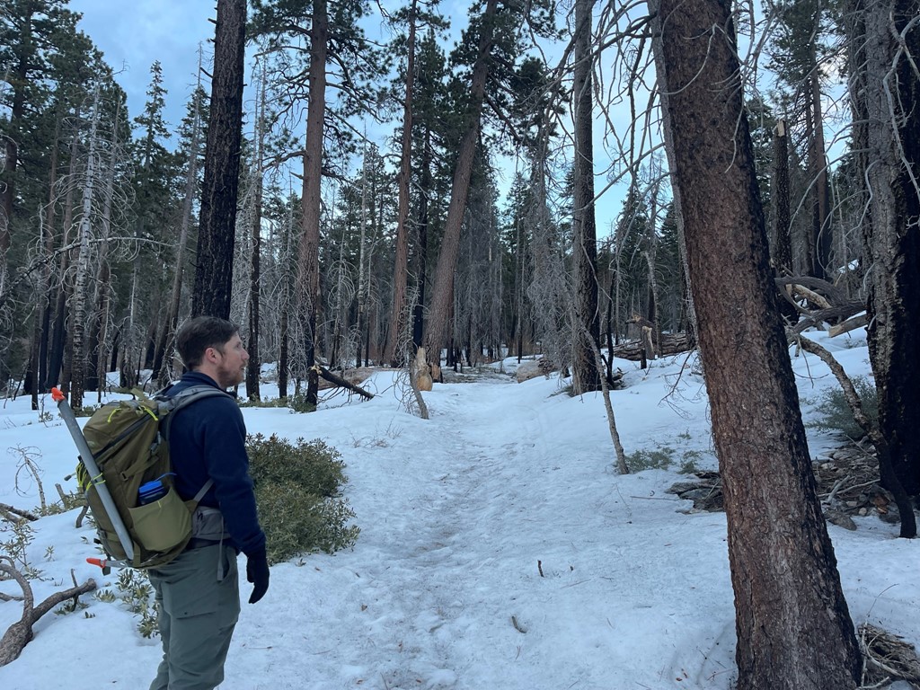
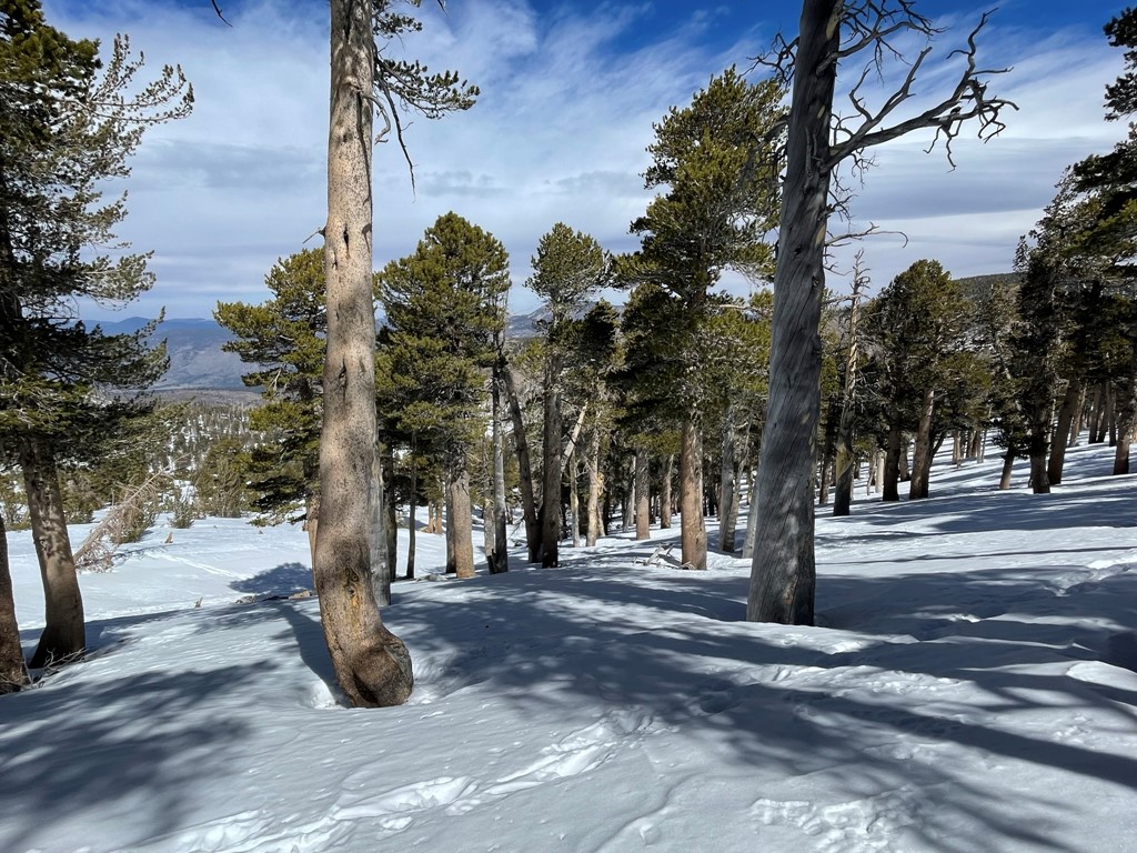
We found consistent snow coverage on the trail starting around 8000 feet.
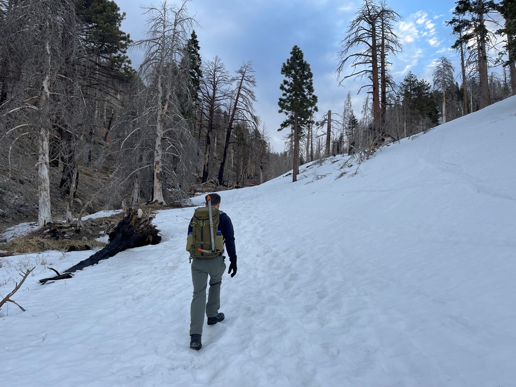
We reached a fork and went left (southeast) towards Dry Lake. The snow got deeper at this point.
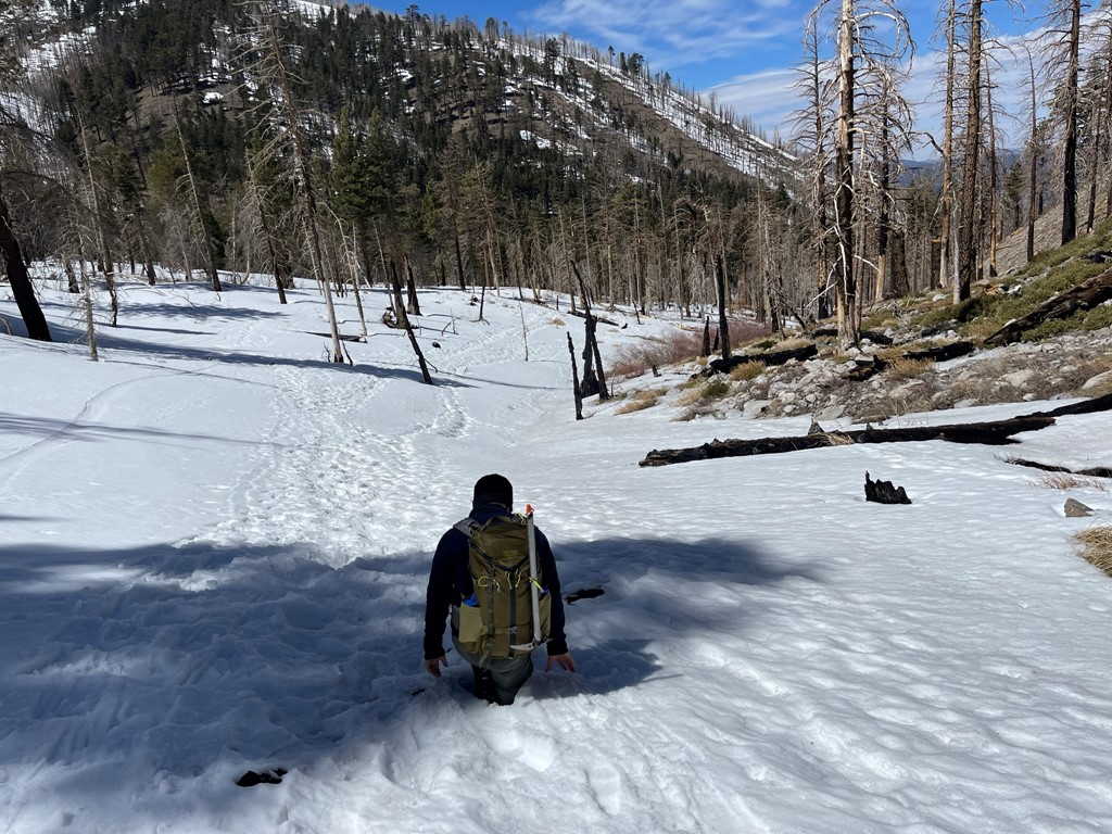
We reached Dry Lake at 5 miles. Dry Lake sits around 9000 feet and there are a few campsites on the far side of the lake for backpackers.
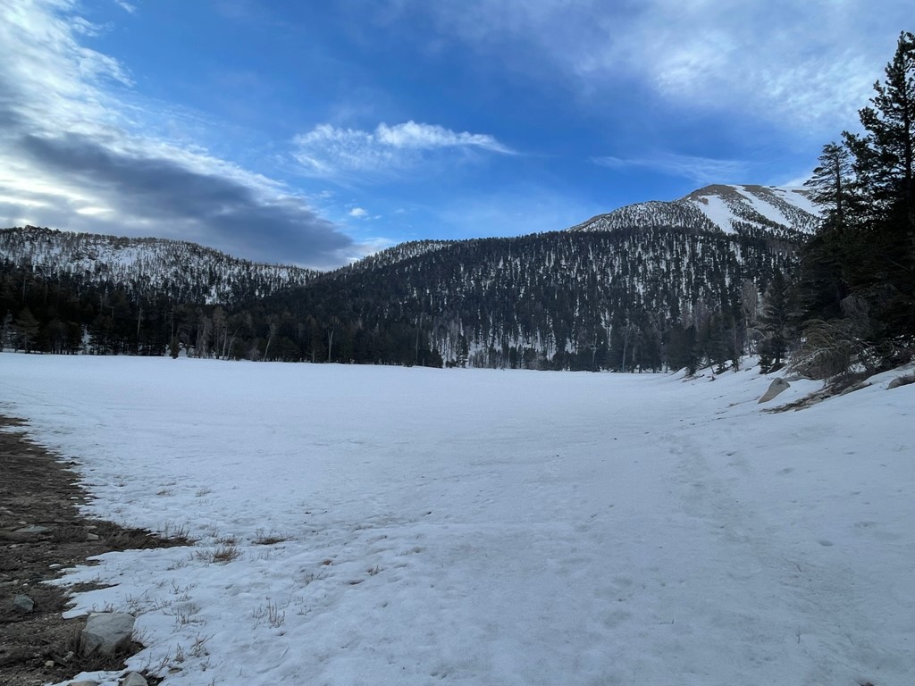
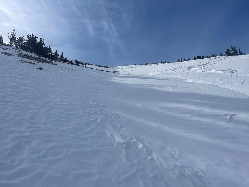
We walked around the western shore of the lake and continued south. The snow was very deep at times, and we found ourselves post-holing a little bit.

We stopped briefly to decide which chute to ascend. We initially considered the chute on the far left but ultimately settled on the chute 2nd from the left.
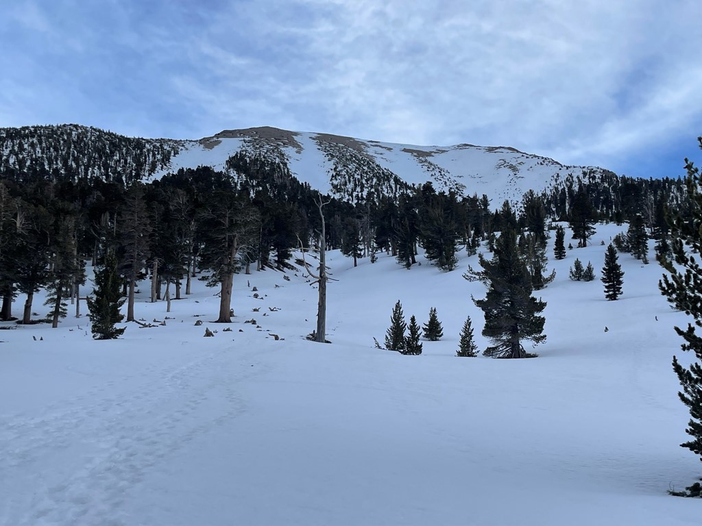
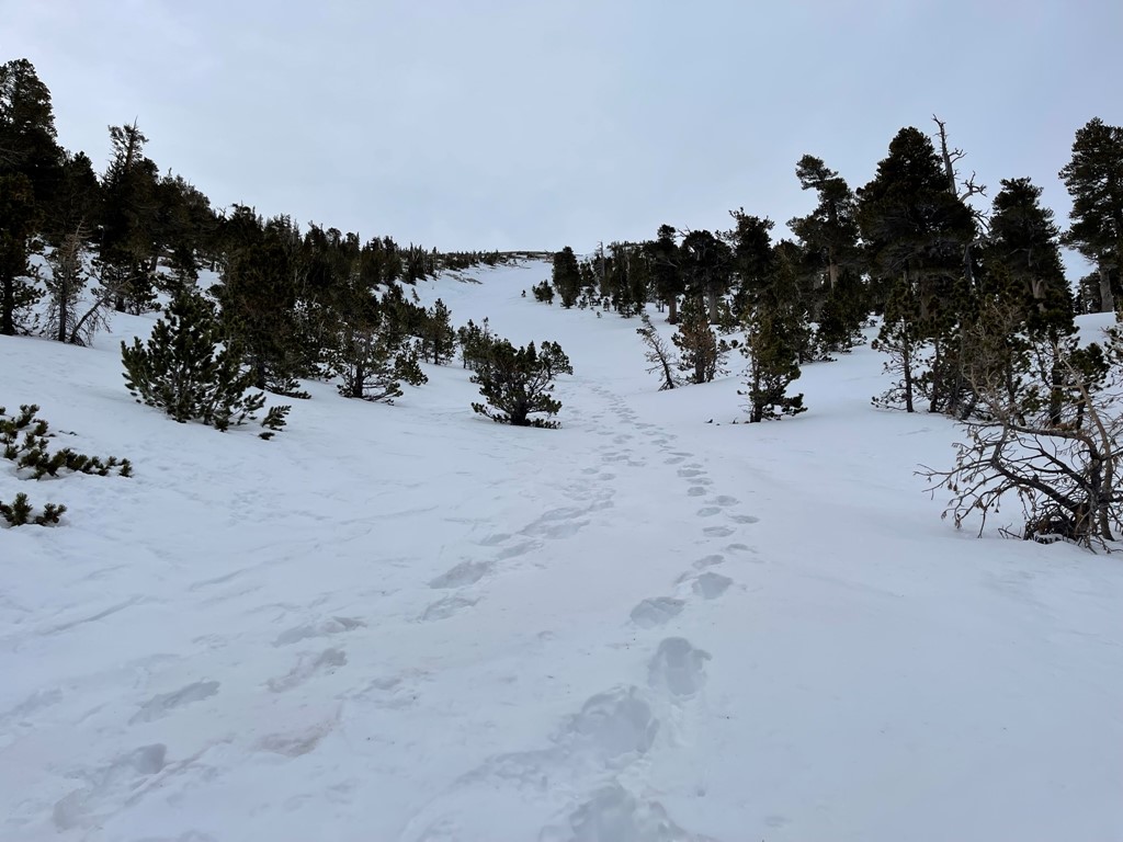
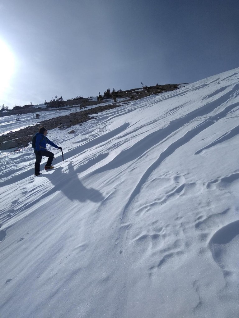
The grade gradually got steeper as we continued south. There was an established boot pack we were able to follow.

We entered the chute around 10000 feet. We put on our crampons and used trekking poles for the lower part of the chute.
A skier passed us on his way up the chute. We were impressed with how fast he was moving.
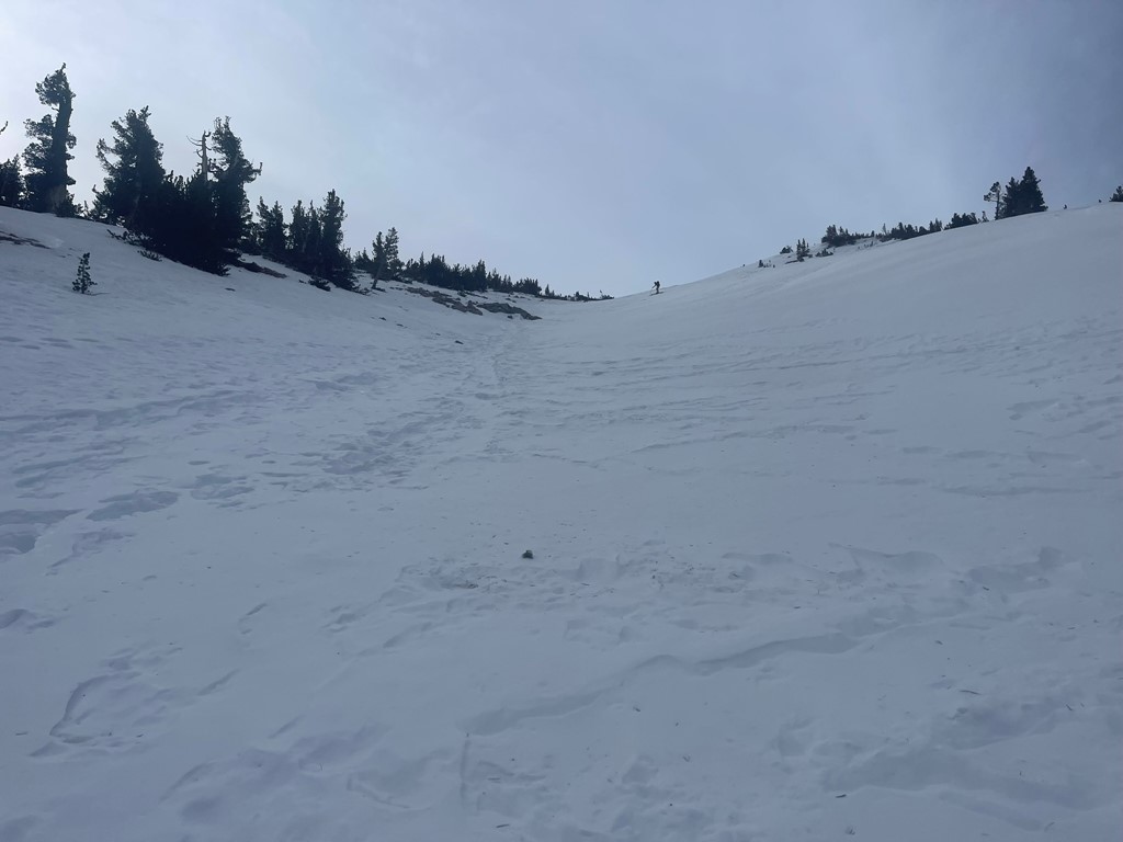
The chute got quite a bit steeper around 10500 feet, so we put away the poles and got our ice axes out.

We found the snow to be of excellent quality for climbing. It was firm and had a crunchy layer on top that our crampons could bite into.
We made short switchbacks on the upper part of the chute.
We reached the top of the chute at 6.7 miles.

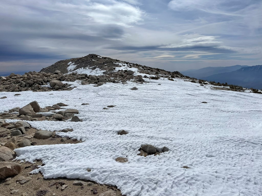
The summit area of San Gorgonio is a huge plateau, so we were still nearly a half mile from the top. We took off our crampons and left them at the top of the chute along with our axes. We then made our way east across the plateau towards the summit.
It was extremely windy on the summit so we each put on an additional layer. We reached the top at 10:30am at 7.1 miles!
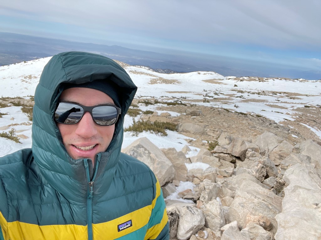
We hunkered down to protect ourselves from the wind and had a quick lunch. The views were decent despite some cloud cover. San Jacinto looked impressive as always to the south.

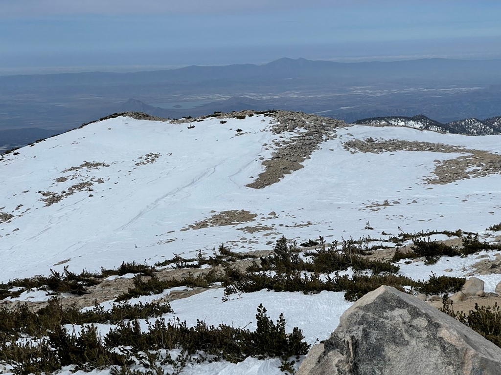
We could see the Santa Ana Mountains in the distance to the southwest.
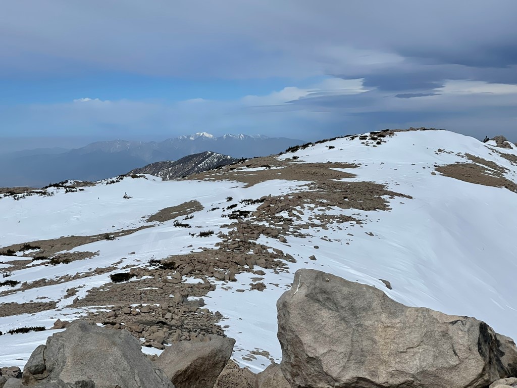
And Mount Baldy to the west:
We began descending after about 10 minutes on the summit. We hiked back across the plateau to the top of the chute. We put our crampons back on and picked up our axes.

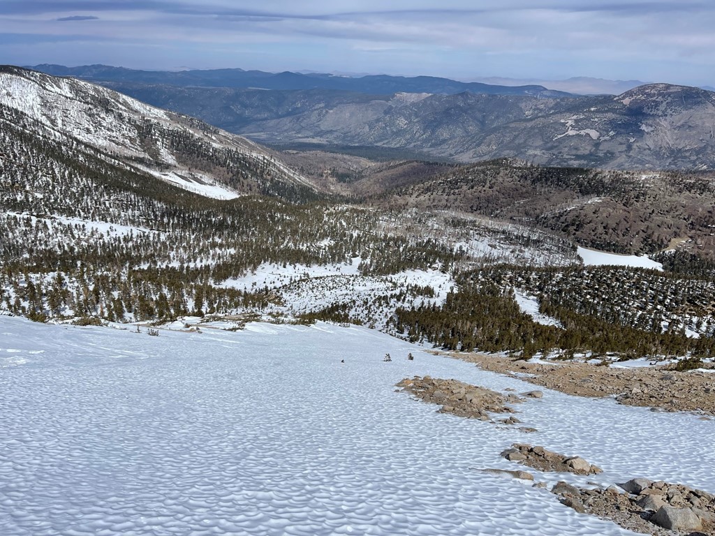
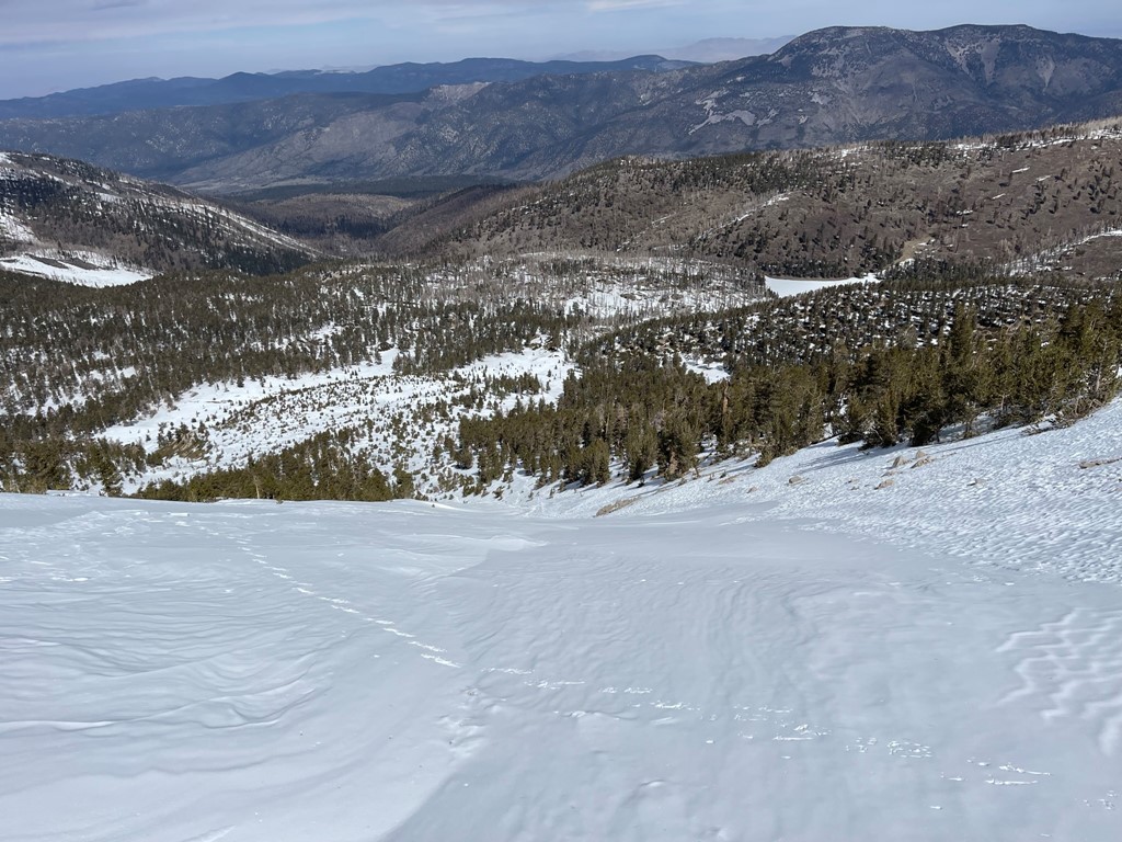
We made our way carefully down the chute.

We found the snow to still be of excellent quality.
The grade lessened towards the bottom of the chute, so we were able to start plunge stepping.
We took off our crampons around 10000 feet. The sun came out and the day was starting to warm up, so we shed some layers. We began to see some other groups including hikers, skiers, snowboarders, and backpackers.
We reached Dry Lake again at 9.1 miles. From there we made good time back to the trailhead despite occasionally post-holing up to our waists.
We noticed someone had built a snowman just off the trail. The poor guy had melted quite a bit.

We were down to short sleeves by the time we reached dry trail again. We turned around to admire San Gorgonio one last time. The chute we ascended is the 2nd from the left.
We reached the cars at 2:40pm. Stats for this hike were 14.17 miles, 4764 feet elevation gain, and 9:04:46 total time.


