Day 1
After travelling to the Sierras for my last few weekend trips, I decided to stay a little closer to home and climb some peaks in the San Bernardino Mountains. The forecast was calling for cooler than usual temperatures for this time of year, so I chose some peaks in the 7000-10,000 feet range. Most of the peaks I was after are on the Sierra Club Hundred Peaks Section (HPS) List, which is an LA-centric list of peaks of at least 5000 feet of elevation. Despite the San Bernardinos proximity, I had only been 3 times before – in June 2018 to climb San Gorgonio Mountain, in November 2018 to climb San Bernardino Peak, and December 2019 to climb Morton and Cram Peaks. I hadn’t yet climbed any of the peaks surrounding Big Bear Lake, which is well known for its ski resorts, and is also a very popular summer destination for activities such as camping, hiking, boating, fishing, etc.
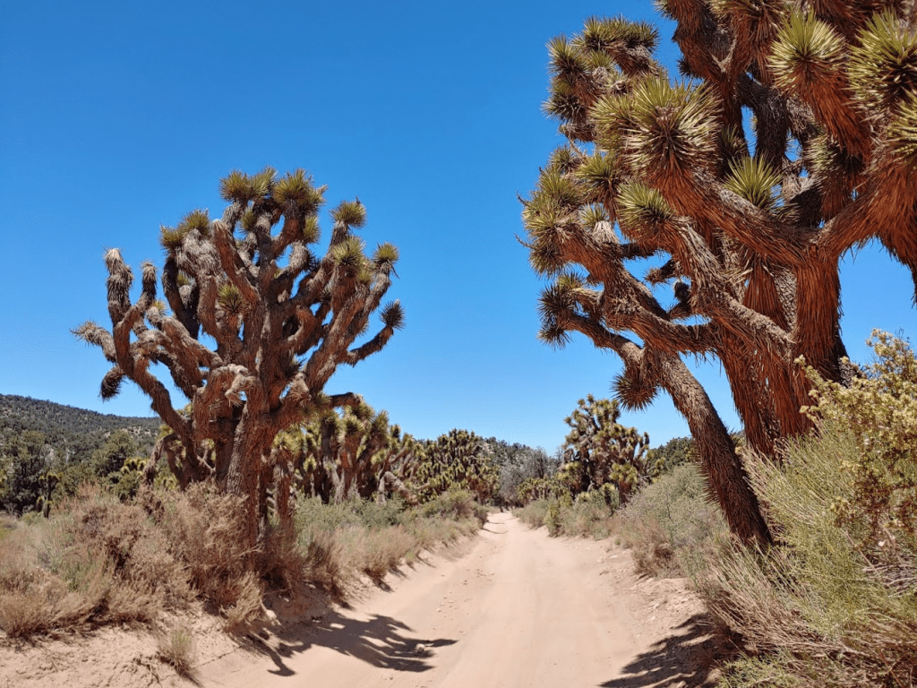
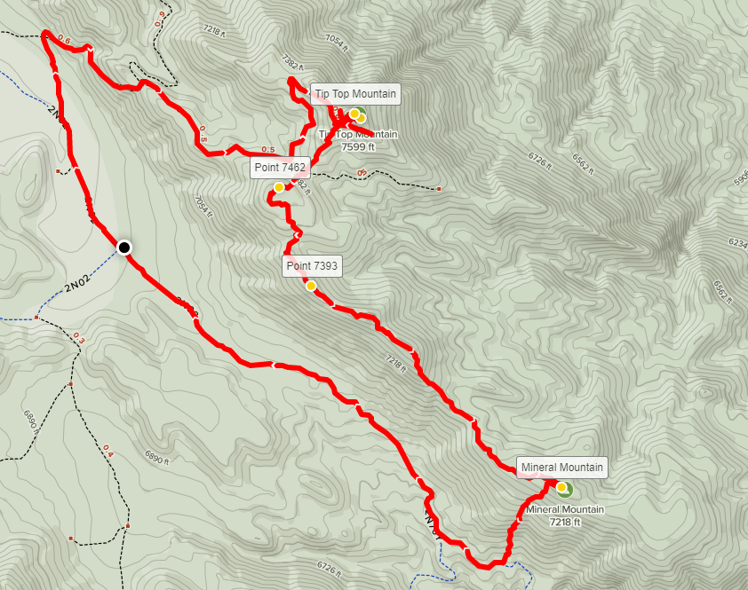
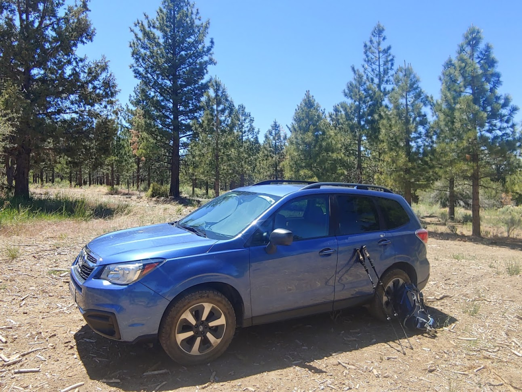
I had 2 hikes planned for Saturday. I first intended to climb Tip Top Mountain (7623 feet) and Mineral Mountain (7238 feet) on the eastern side of the range. My reason for choosing these rather obscure peaks was that I would also be able to bag the highpoint of the Bighorn Mountain Wilderness. I had recently taken an interest in climbing wilderness highpoints, so I figured it would be a productive loop. I hit the road around 7am Saturday morning and encountered little traffic on my way north. I took State Route 38 into the mountains, passing through the small communities of Forest Falls and Angelus Oaks. After passing over Onyx Summit, I turned right on Forest Road 2N01. I drove on 2N01 for about 6 miles to Burns Canyon Road where I parked. The road was pretty rough, but I went slow and had no issues in my Forester. High clearance required but no 4WD. You lose about 1200 feet of elevation on 2N01, and it’s actually rather impressive to see the terrain shift from montane forest to high desert. I was a bit surprised to find myself in a forest of Joshua trees as I got started at 10:20am.
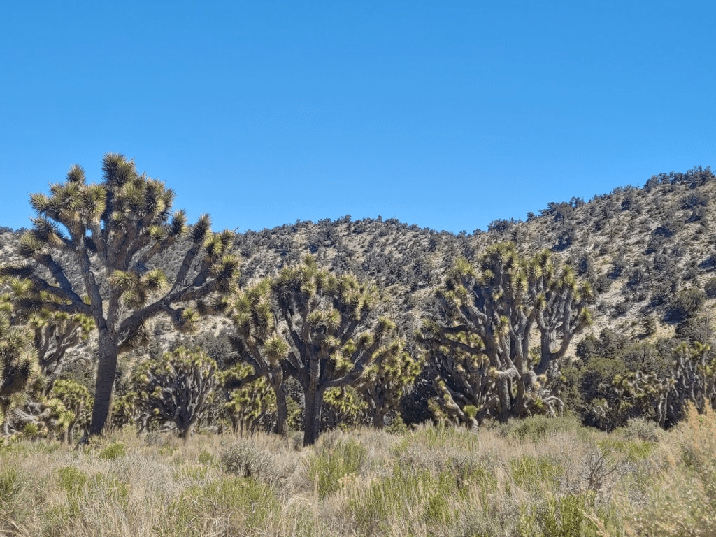
I started hiking north on Burns Canyon Road (2N02). The elevation was about 6800 feet. I didn’t even know Joshua trees grew that high up.

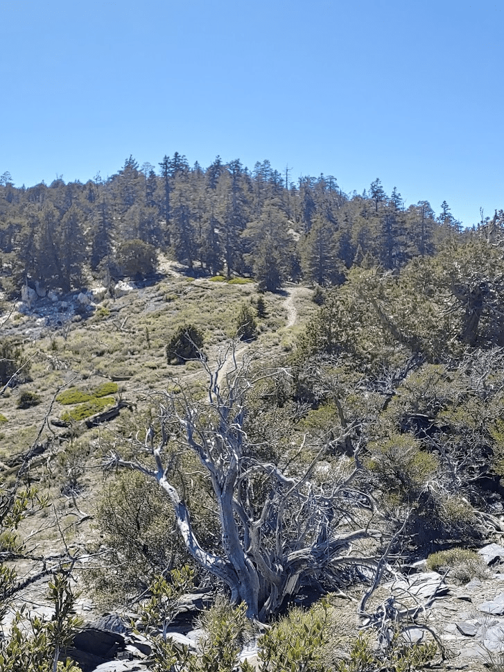
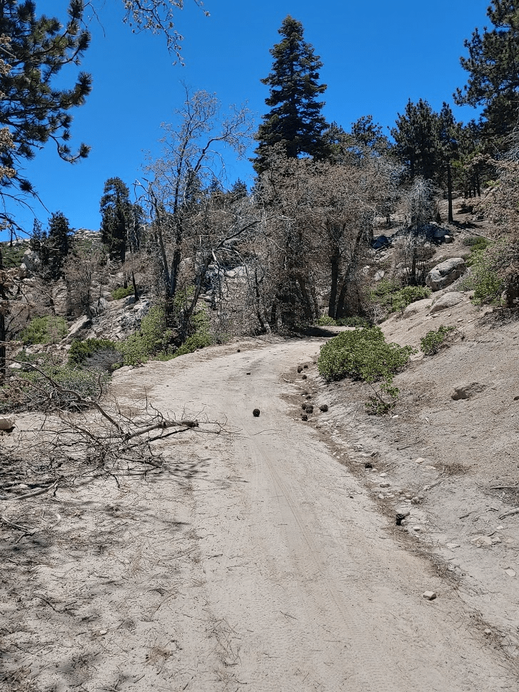
Most of the route would be on roads, except for the section between Tip Top and Mineral. This area is very popular for OHV enthusiasts, so it was far from my usual quiet wilderness experience. At 0.4 mile I turned right onto an unnamed road, and then at 0.7 mile I turned right again on Forest Route 2N90.

This road is a very rough 4WD road. I was passed by a few dirt bikers as I made my way east up towards the summit of Tip Top. At one point where the road bends I noticed some people camping off to the side near a nice overlook. It definitely looked like an awesome campsite.
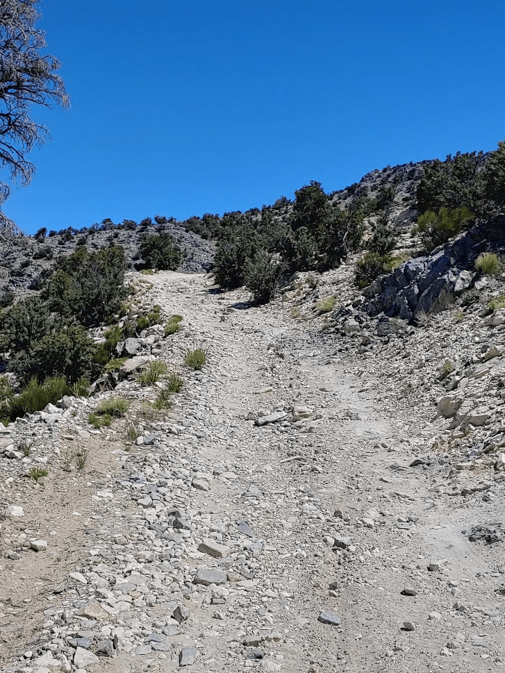
The weather was beautiful. The clear blue skies were a welcome site after driving through clouds the whole way here. It was slightly warmer than I would have liked, but not bad for the desert in June. Around 2 miles, the road ends near the summit but there is a use trail the rest of the way up.

At 11:01am I was standing on Tip Top Mountain. I was at 2.18 miles.
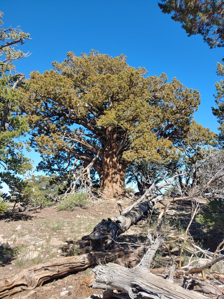
I signed the register, and noted the previous ascent was a week earlier on May 30th. There are no survey markers, but there is some kind of communication equipment on the summit.
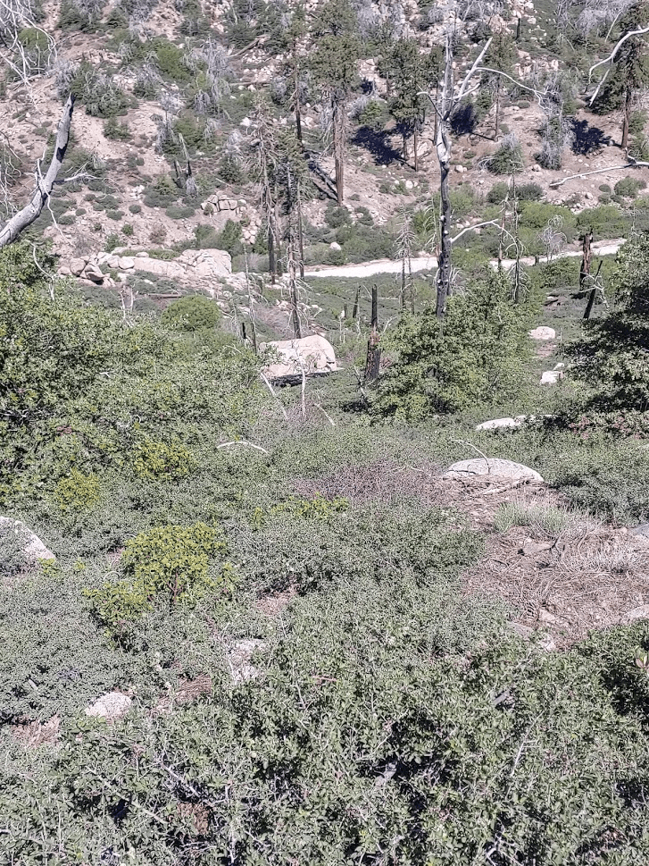
The views across the desert to the east were expansive. The mountains of Joshua Tree National Park could be seen to the southeast.
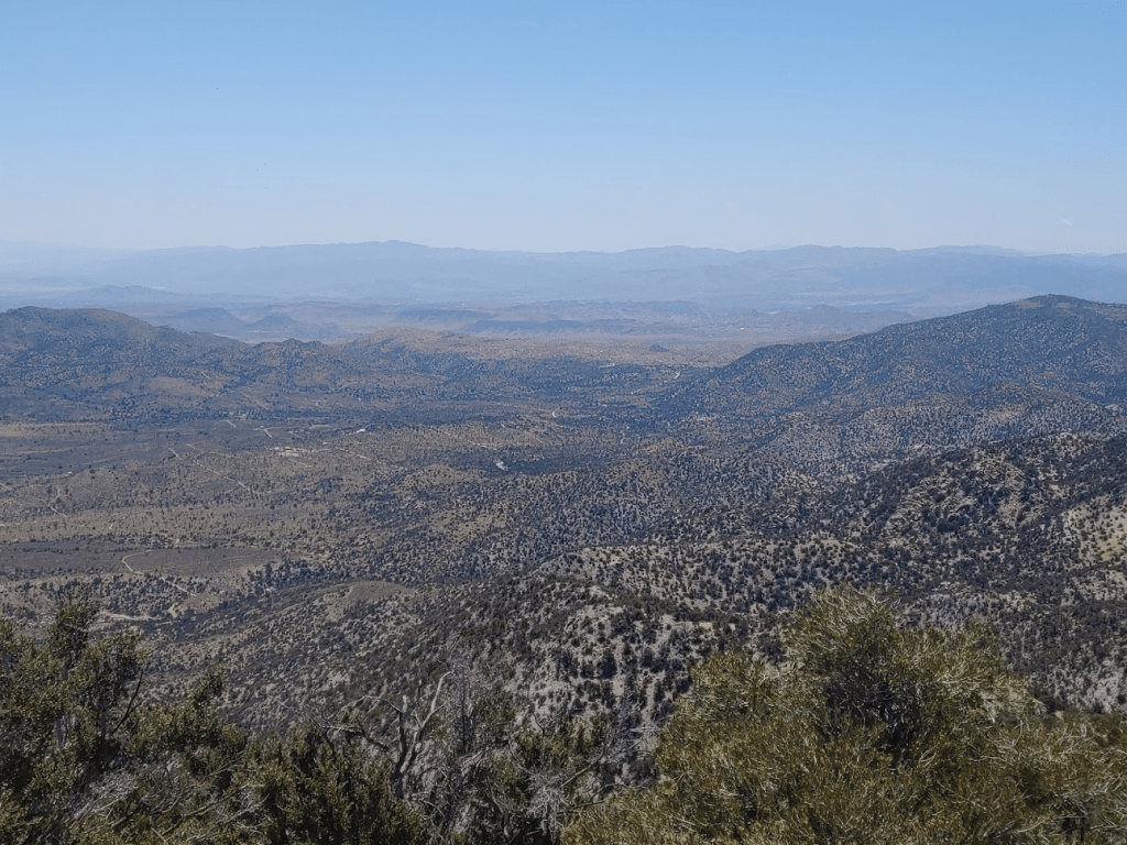
The view to the west consisted of the foothills of the San Bernardinos. The high peaks could not be seen due to the rolling nature of the mountain range.

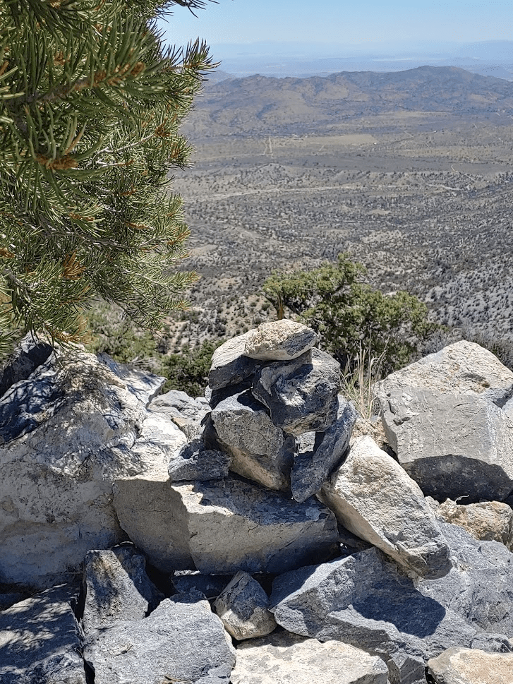
Next up was Bighorn Mountain Wilderness High Point. This is one of those situations where the wilderness boundary doesn’t include the highest point on a mountain due to roads and equipment on the summit. The highest point within the wilderness boundary is unremarkable point just a few yards southeast of Tip Top Mountain. The point is marked by a small cairn and a register.
I began descending to the southwest. The vegetation was sparse enough to make cross country travel easy.
I crossed another road and went up and down a few bumps. I soon reached a point of elevation 7462 which for whatever reason is marked as a peak on Peakbagger. Here I turned southeast and soon reached another obscure Peakbagger peak of elevation 7393 feet. Neither “peak” was remarkable at all.
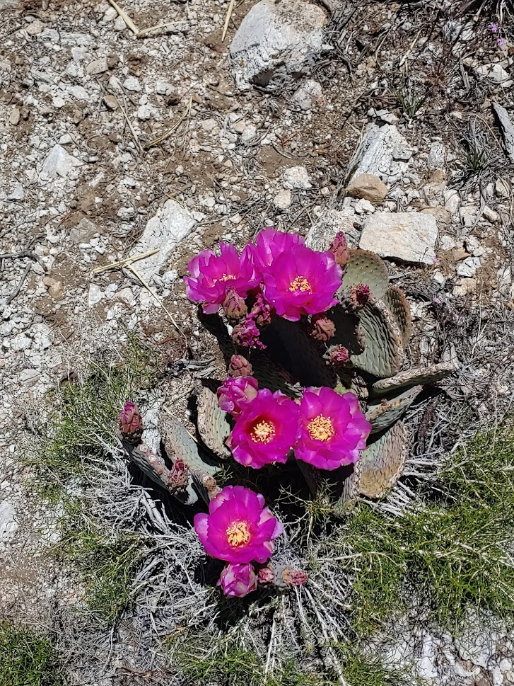
From Point 7393 it was easy to follow the ridge as it heads southeast towards Mineral. I found some very beautiful beavertail along the route. I’m not sure if I’ve ever seen one with so many blooms at once!
I passed over a few more bumps along the ridge before finally reaching the summit of Mineral Mountain at 12:01pm. I was at 4.28 miles. I had a nice view of Tip Top Mountain.

Mineral Mountain is a few hundred feet lower than Tip Top, so the views weren’t quite as good. I didn’t stay too long after signing the register. I began descending southeast straight down the slope back to Burns Canyon Road.

At 4.66 miles I reached the road once more. I started heading northwest back towards my car. I had about a mile and a half to go.
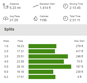
The road was very busy with jeeps, trucks, and OHVs. Everyone waved as they passed by and one couple even stopped to ask if I had enough water. I reached the car at 12:51pm. This hike totaled 6.23 miles, 1414 feet elevation gain, and 2:31:11 total time.
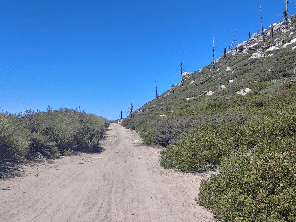
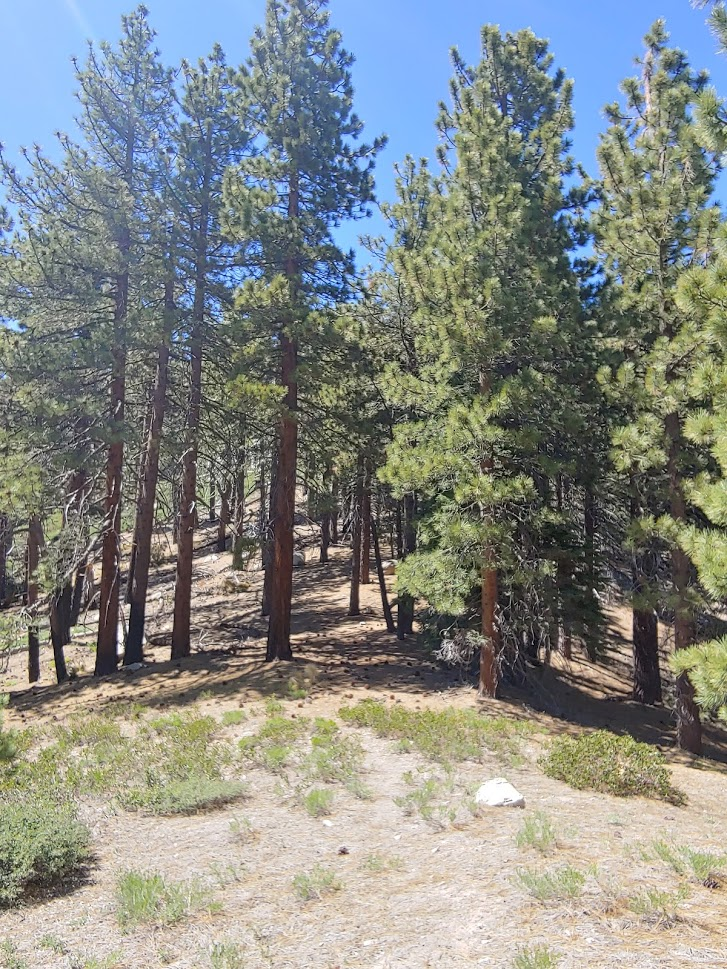
I had felt a little rushed on this first hike. I didn’t really consider how rough the road would be to drive here (it took about 40 minutes to drive the 6 miles), so it had taken longer than expected. I felt good about finishing before 1 though. I figured I had about an hour drive to get to the next peak, Sugarloaf Mountain. For whatever reason, just about every mountain range has a peak called Sugarloaf, and the San Bernardinos are no exception. At 9952 feet, Sugarloaf is the highest peak in the San Bernardinos outside of the San Gorgonio area. Also, with just under 2000 feet of prominence, it is the 2nd most prominent peak in the range after San Gorgonio. After getting back to Highway 38, I drove northwest for 5 miles and turned left on Wildhorse Meadows Road (Forest Route 2N23). The trailhead is about a mile up the road, but I decided to park near the highway and start hiking. I noticed nearly a dozen other cars parked in various pullouts near the highway. I started hiking at 1:55pm from 7073 feet.
The road begins going southwest and then soon curves southeast. I found it interesting how different the climate was in this area as opposed to my first hike of the day. I was at about the same elevation and probably only 10 miles west. This was certainly a great example of the rain shadow effect.
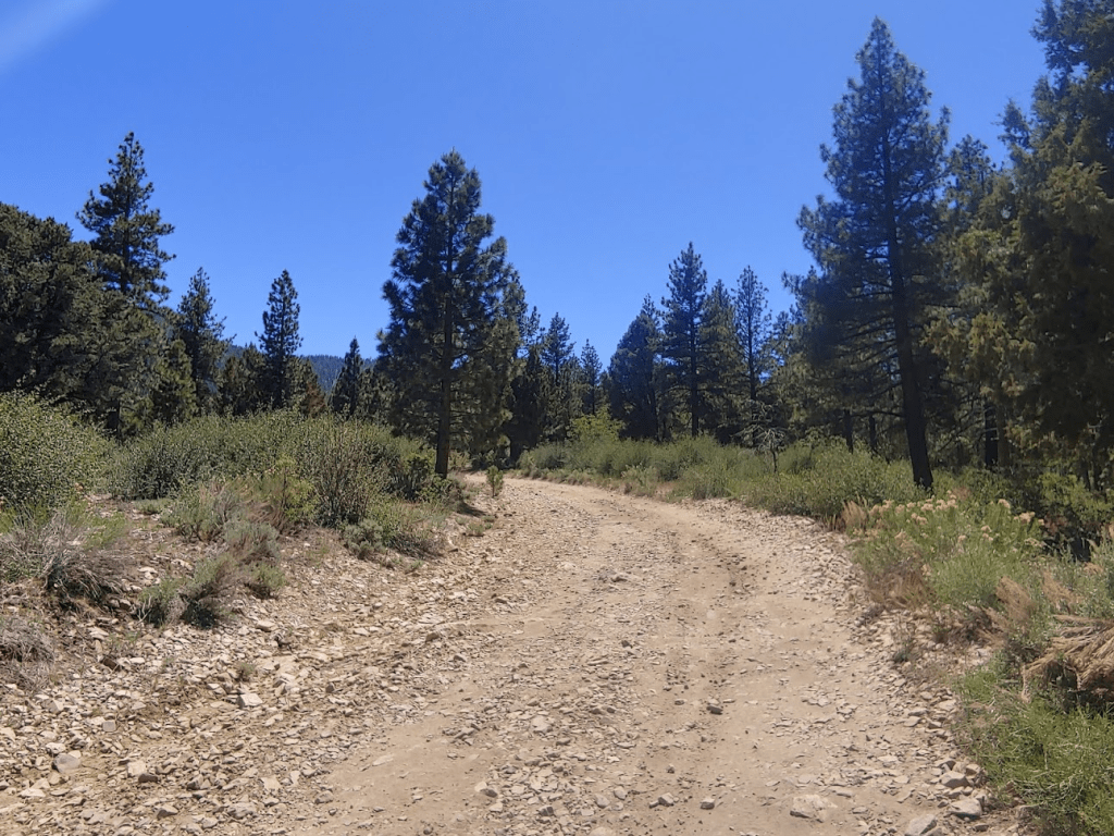
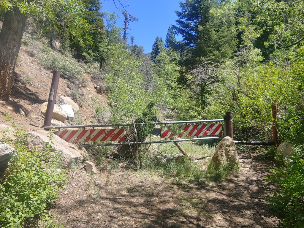
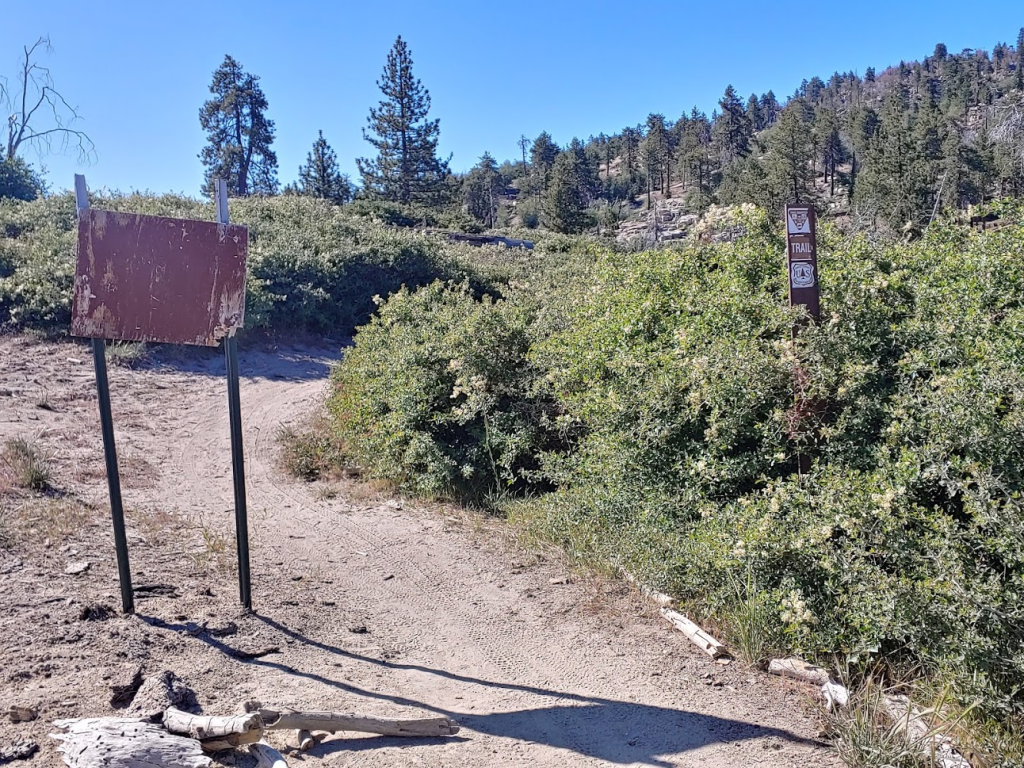
At 1 mile I reached the official trailhead. The road was passable for just about any car up to this point, but I didn’t mind hiking the extra mile.

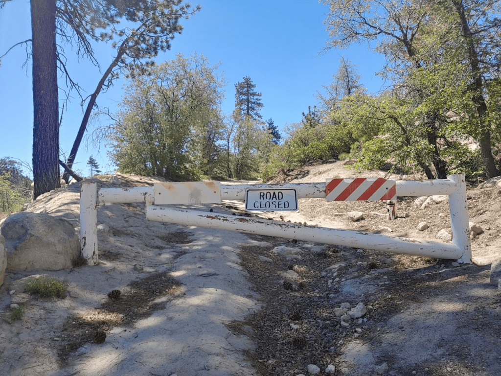
There was a gate blocking any vehicular access to the trail.
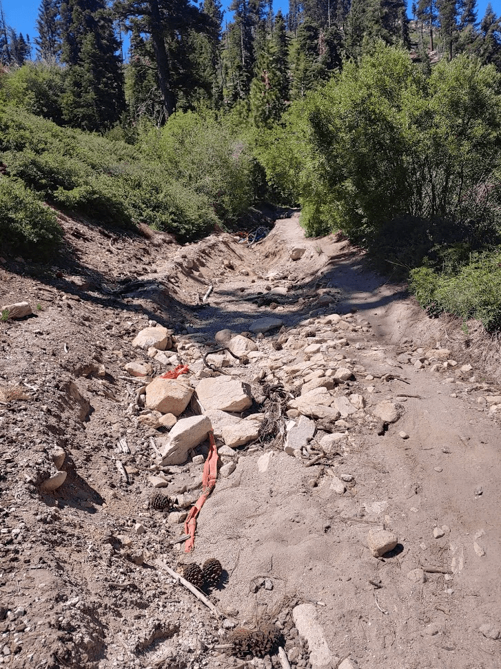
The trail immediately crosses a small creek.

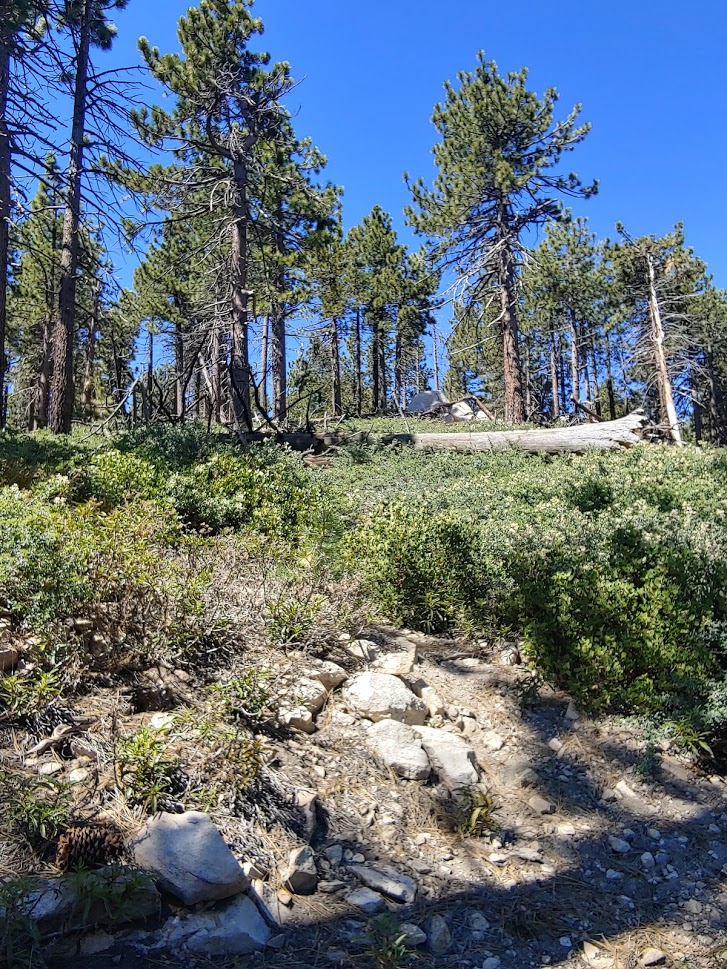
The trail steadily gains elevation right from the start. The trail was fairly wide and rocky.

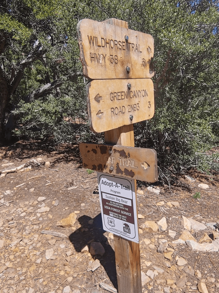
At 3.38 miles I reached a junction. I made a sharp turn to the west (right) to stay on the Sugarloaf Peak trail.
The trail had gained about 2000 feet already, with 1000 feet still to go. It was getting cold up this high.
I got my first good look at San Gorgonio to the south.

Similar to my first hike of the day, there were a few Peakbagger “peaks” along the route. All 3 required minor deviations from the trail. None of them were very noteworthy, so I’m not sure why someone chose to mark them as separate peaks. I did catch a quick glimpse of a deer on the 2nd one before it ran away. The 2nd had a very large tree on top.
The trees really started to thin out as I neared the summit. I passed a few groups of hikers on their down.

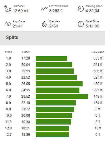
I reached the summit at 4:21pm after 6.35 miles. There were 2 rock piles on the summit. One had a metal post sticking out of it, the other had a difficult to read sign.

The summit area was flat and had a lot of trees which obscured the view. The trees were nice to block the wind though, since it was getting pretty cold and windy at just under 10,000 feet. I did not locate a register, which didn’t surprise me too much since they are often missing from popular or easy to reach summits. There supposedly is a “Loaf” benchmark and reference markers, but I was unable to find any sign of them. They must be missing or have been removed. After taking a nice break and having some snacks, I walked a few dozen yards to the north where the views were much better.
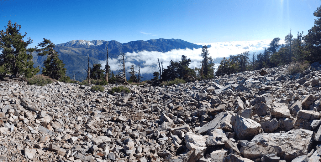
I could even see Mount Baldy and the other high peaks of the San Gabriels far to the west rising above the cloud layer. It seemed June Gloom was in full effect for most of Southern California. I was very happy to be above it!

I began descending just after 5pm.

I took the same route down, minus the 3 small side trips to the Peakbagger “peaks.” It was getting fairly late in the day, so I only saw one more group on the trail.
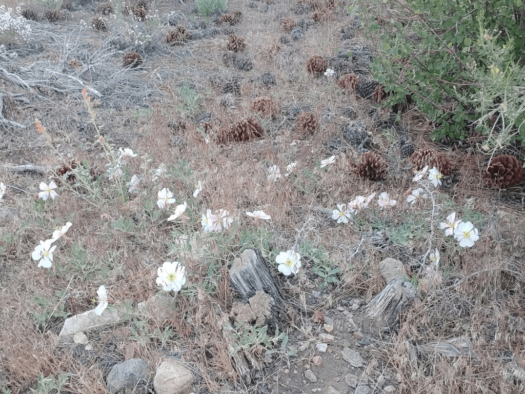
I did see some pretty white flowers on the side of the trail.
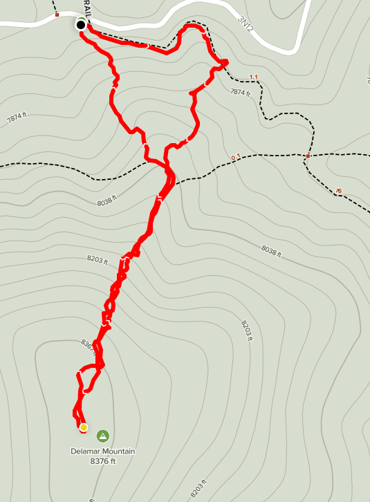
The rest of the hike was uneventful. I reached the car at 7:09pm. This hike totaled 12.69 miles, 3258 feet elevation gain, and 5:14:09 total time.

I considered driving closer to the start of my first hike for Sunday, but I liked the area I was in, so I decided to stay for the night. I drove a little further up the dirt road to get away from the highway and had a great night of sleep despite it dropping below freezing overnight.
Day 2
My plan for Sunday included a number of shorter hikes. There are many HPS peaks surrounding Big Bear Lake, so I had my eyes on a cluster of them on the northwest side. First up was Delamar Mountain (8398 feet). I drove around the north side of the lake on Highway 38 to the community of Fawnskin. I turned right onto Rim of the World Drive (Forest Route 3N14) and then another right onto Delamar Mountain Road (3N12). This road has a number of excellent dispersed campsites, although it may be hard to find a decent spot on the weekend. There were already a few folks out and about this early in the morning. I parked in a small lot near where the Pacific Crest Trail crosses the road. There is space for 5-6 cars here. The road is in great shape and passable for any car up to this point. I began hiking at 6:18am from 7769 feet.

This would be a very short hike. Delamar Mountain was only about 600 feet higher than the road. I started hiking east on the PCT.

At 0.2 mile I left the PCT and started hiking south up the side of the mountain. I soon found another trail which appeared to be heading the right way.

The trail indeed took me all the way to the top. I soon reached a pile of rocks which marked the summit.
At 6:42am I reached the summit after just 0.6 mile.

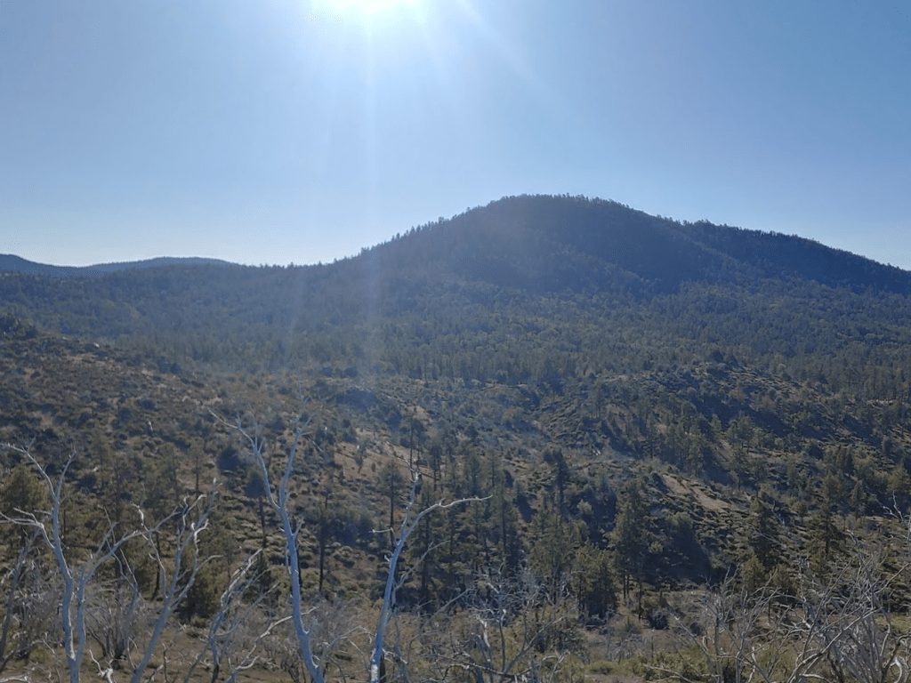
The forest cover was dense so there were no views to be had. Delamar is one of only a handful of peaks in the San Bernardinos with 1000 feet of prominence, so I was a bit disappointed with the lack of views. I did not locate a register. I descended the same way I came up. As I was hiking back down the trail, the tree cover opened up and I had a great view of the Ord Mountains to the north. I climbed all 3 Ord Mountains in one day back in February. In the picture below, Ord Mountain is on the left and East Ord is on the right. West Ord is not visible.

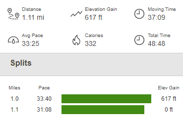
I reached the car at 7:06am. This hike was just 1.1 miles, 617 feet elevation gain, and 48:48 total time.
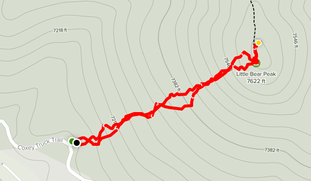
Next up was Little Bear Peak (7621 feet). I didn’t have any info on this peak besides its location. It appeared to be very close to Forest Road 3N14 though so it looked like it would be a very short hike, and I was in the area so decided to go for it. I drove back down Delamar Mountain road to 3N14 and drove northwest for a mile or so before I find a nice spot to park southwest of the peak. I began this hike at 7:42am from 7094 feet.

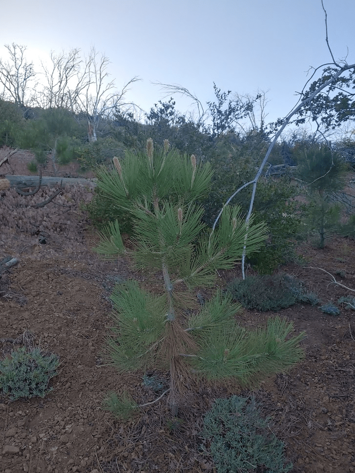
Little Bear is a pretty minor peak, so all I had to do was keep hiking upward until I reached the top. The area appeared to have been burned at some point in the recent past. There were even some small seedlings beginning to poke their way up.
I reached the summit at 7:42am after just 0.3 mile. Despite how easy this hike was, the views were outstanding due to the lack of tree cover. To the southeast I had a great view of Big Bear Lake with San Gorgonio rising to 11,503 feet behind it.

The rounded summit of Delamar Mountain was a short distance to the east.
My next destination, Butler Peak, was close to the south.

I noticed a trail leading up to the summit from the other side. I later learned that most people who ascend Little Bear use this trail which actually starts from Delamar Mountain Road. The route I took was shorter and steeper. I searched around for a register but could not find one. I walked over to another pile of rocks a few yards to the south and located the register. I was confused to find the register here since the point I was just on to the north was clearly higher. Anyway, I began the descent after signing the register.
The descent was uneventful. This hike ended up being 0.67 mile, 499 feet elevation, and 43:23 total time.

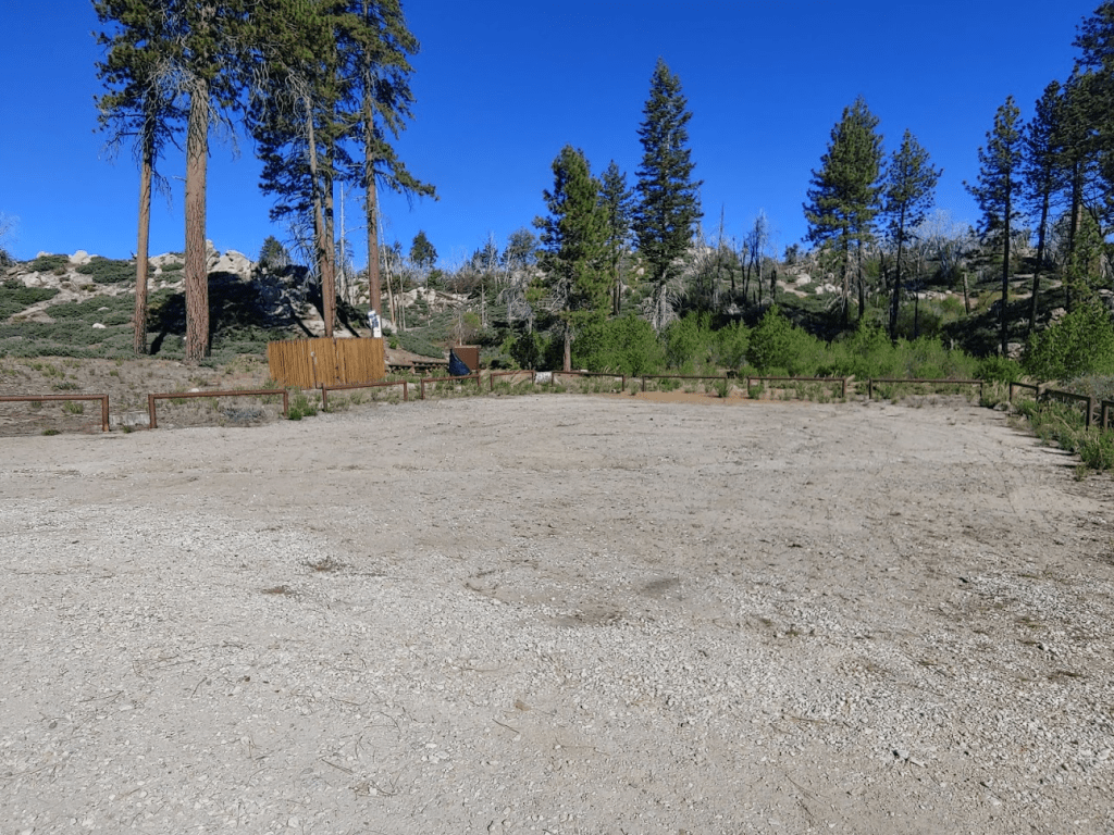
My next hike would be the longest of the day. My plan was to hike Butler Peak (8535 feet) and Grays Peak (7920 feet). I drove just a short distance back down Forest Road 3N14 and parked at the beginning of Road 2N13. Forest Road 2N13 leads all the way up to Butler Peak in about 5 miles, but it’s gated so the only way to reach the top is to hike or bike. Grays Peak is about a mile east of the road so would add a slight detour on the way up. I got started at 8:33am from 6946 feet.

The road starts out winding its way gradually uphill to the southwest. At 0.8 mile I passed a group campsite.
At 0.9 mile the road intersects with a bike trail. I was due north of Grays Peak at this point, so I turned off the road and followed the trail for a short way.
The trail led off to the east, so I left the trail to continue south towards Grays. I soon crossed another road.

After crossing the road, I started up the northern slope of Grays Peak.

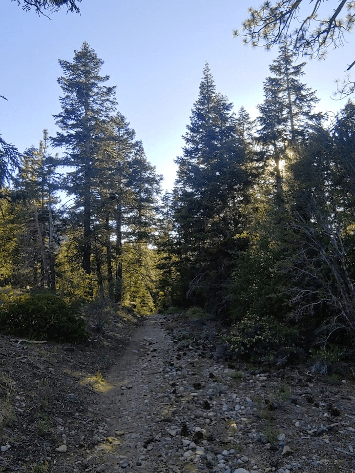
It was steep but there was minimal brush. At 1.5 miles I found the Grays Peak Trail. This trail is the normal route to Grays Peak. It begins from Highway 38 near the lake.

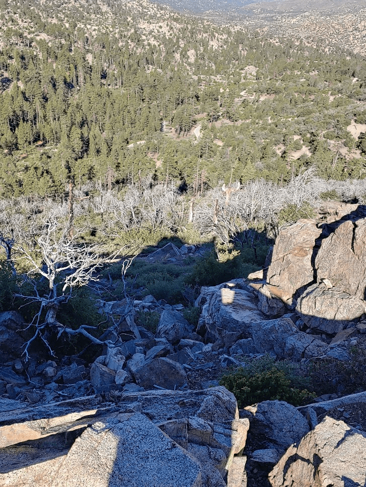
The trail is well maintained and easy to follow. I was passed by a few mountain bikers on my way up. The trail approaches Grays Peak from the west and then winds its way up to the summit area from the south. The trail ends at a point just below the summit to the east. It was a short scramble to the top from there. I made it to the summit at 9:30am at the 2.5 mile mark.

The register was somewhat wet, but I still managed to sign it. The previous ascent was the day before. There are no survey markers on the summit. The views were somewhat obscured by trees, but I still managed a good look at San Gorgonio.

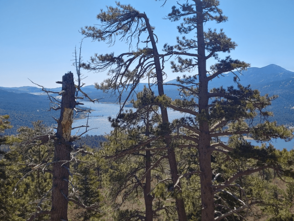
My nose started bleeding on the summit which was a hassle. After cleaning myself up, I hiked back down to the trail and then scrambled up some nearby rocks for a better view of the lake. Sugarloaf can be seen on the right.
I continued my hike after a 15 minute break. I followed the trail again for a short way to the northwest.

At 3.47 miles I left the trail to climb back down to the road to Butler Peak. This area was extremely brushy. It was a short climb back down to the road, but it was very slow going. The route I ascended Grays with was much more pleasant.
At 3.78 miles I reached the road once more. I still had about 3.5 miles to go, but only needed to ascend about 1300 feet. I soon reached a severely washed out section of road which explained why the road was gated.
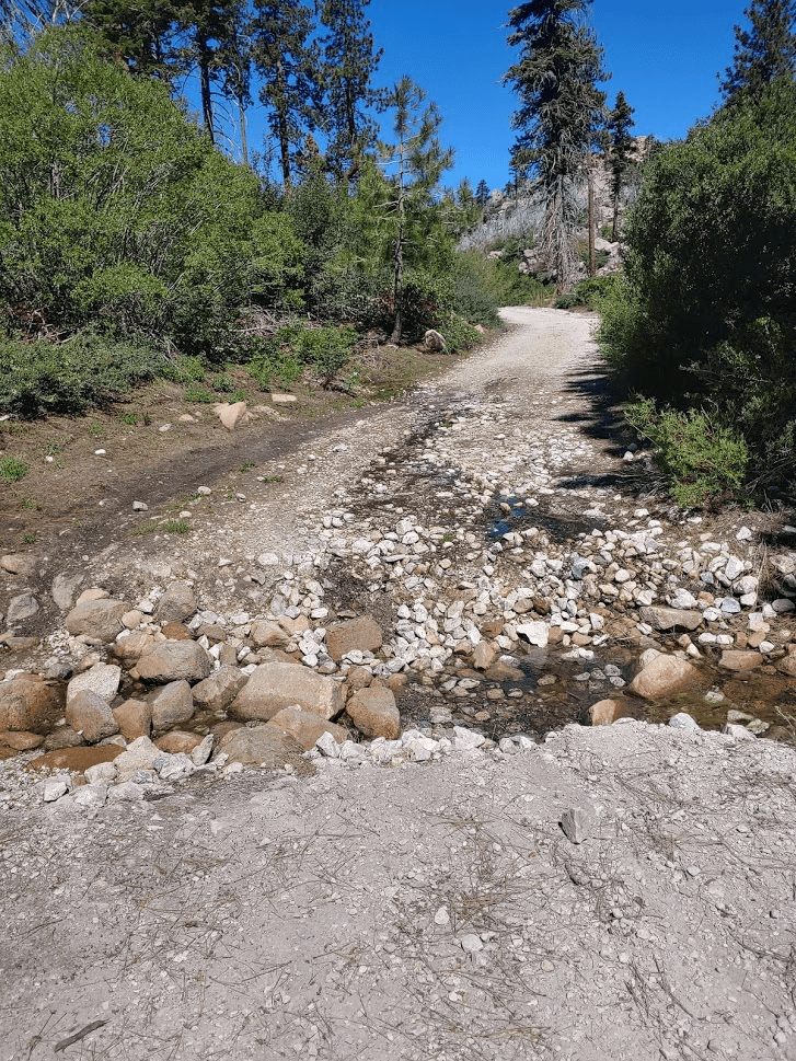
I crossed a few running streams on the way up. I’m guessing the road gets pretty badly damaged every spring from snow melt.
At 4.62 miles I reached a fork in the road. I took the left (south) fork. This road was gated as well.
As I ascended, I was struck by the lack of trees on the hillsides. This area must have been burned in the recent past.
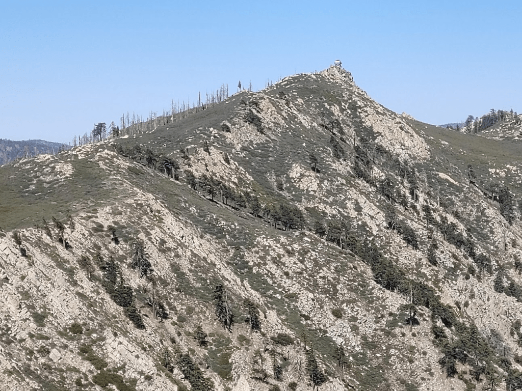
As I got near the summit, I could see the fire lookout on top.
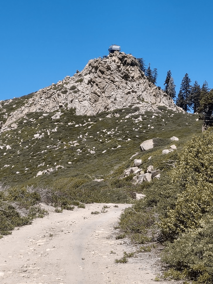
The road ends just below the summit. A short trail leads the rest of the way up.

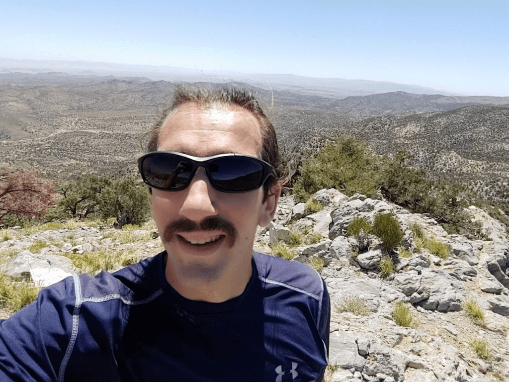
I reached the summit at 11:31am! I was at 7.36 miles so far.
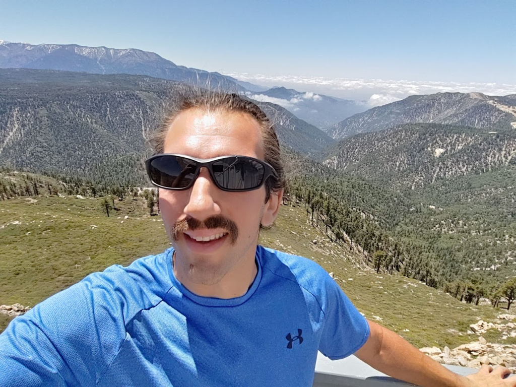
The fire lookout was closed, but I was still able to climb the stairs and walk around the perimeter to get a 360 degree view. 3 mountain bikers who had passed me on the way up were on top enjoying the views. We chatted briefly before they started their descent. I did not locate a register.

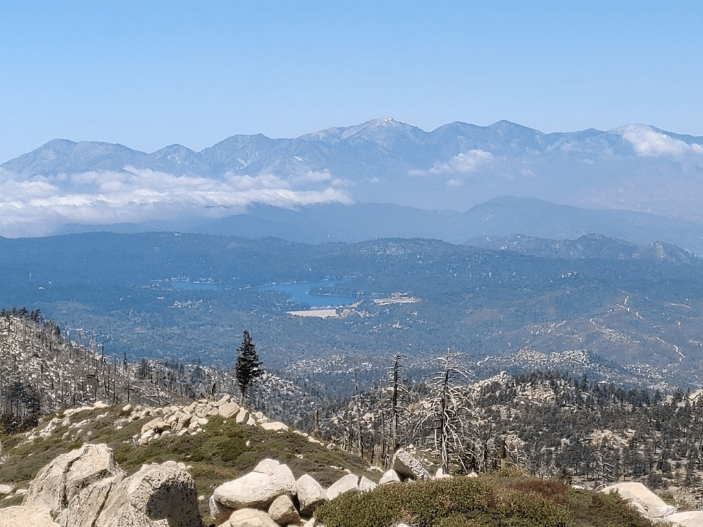
The views, of course, were spectacular. Butler Peak (along with Delamar and Sugarloaf) is one of the few peaks in the area with over 1000 feet of prominence. To the southeast I could see Sugarloaf (left) and San Gorgonio (right). The road I hiked up is in the foreground.

Big Bear Lake to the east:

Everything to the southwest was covered in thick clouds.
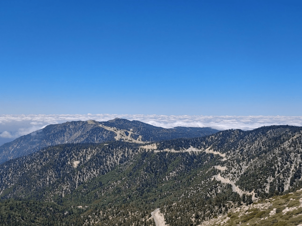
And to the west was Mount Baldy and the other high peaks of the San Gabriels. A tiny bit of snow could still be seen on Baldy’s summit. Lake Arrowhead is in the foreground.
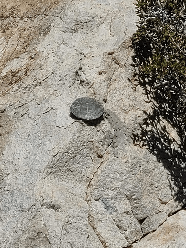
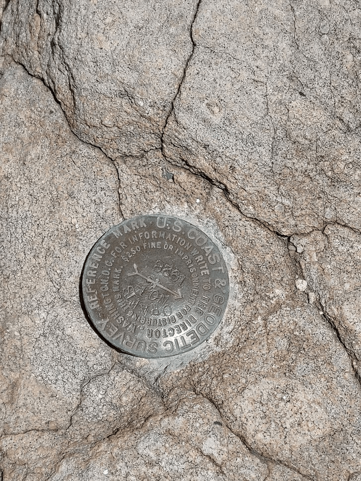
I was able to locate 2 “Crafts” reference markers from the tower. They were pointing at the tower so the original benchmark must be underneath the foundations.
I spent about 20 minutes enjoying the views on the summit. I considered continuing on to nearby Crafts Peak. Similar to Little Bear Peak this morning, I didn’t have any information on Crafts Peak besides its location. It appeared to be located a mile or 2 further west along the ridge from Butler. However, when I went to investigate, I found that the ridge was covered in dense brush. It was only knee high stuff, but it was so thick it would have taken forever to make it to Crafts. Not to mention it would have been painful and probably would have torn my pants apart. So, at 11:50am, I started making my way back down the road. I had about 5 miles to get back down to the car.
The descent was uneventful. I passed a few more bikers and hikers making their way up. There was no shade due to lack of tree cover, so it was a little warm, but definitely could be a lot worse this time of year.
At 10.34 miles I reached the fork in the road and continued northeast the way I came up. I crossed over a few more streams.

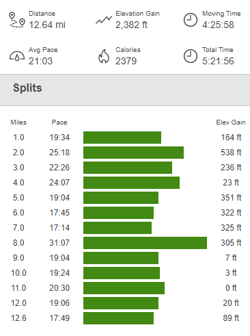
I reached the car at 1:54pm. This hike was 12.64 miles, 2382 feet elevation gain, and 5:21:56 total time.

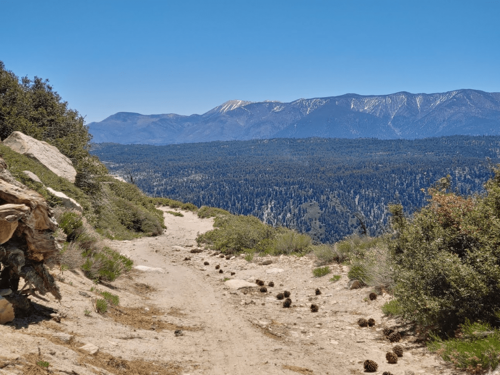
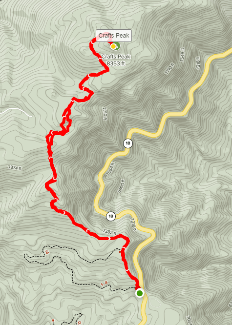
I considered going home at this point. I had already had a very strenuous day, and my legs were sore from the long descent. However, Crafts Peak (8364 feet) had been on my mind since I looked at it from Butler Peak. Highway 18 runs pretty close to Crafts Peak. Despite the extreme brush between Crafts and Butler, the terrain between Crafts and the highway appeared to be forested which would make for much easier cross country travel. I drove back down into Fawnskin to get cell service to research Crafts Peak a little. I was right! It looked like there were 2 main approaches to Crafts. The shorter route from the northwest involved a lengthy dirt road approach which I wasn’t interested in, but I was happy to find a 2 mile (one way) route from the south starting from the highway. The other positive was that it would be on my way out of the mountains, so no extra driving would be required. I decided to go for it. It was a 9 mile drive from Fawnskin to Lake View Point, which is where the route begins along Highway 18. There was a small dirt turnout on the right (west) side of the road that I parked in. I started hiking at 2:34pm from 7064 feet.
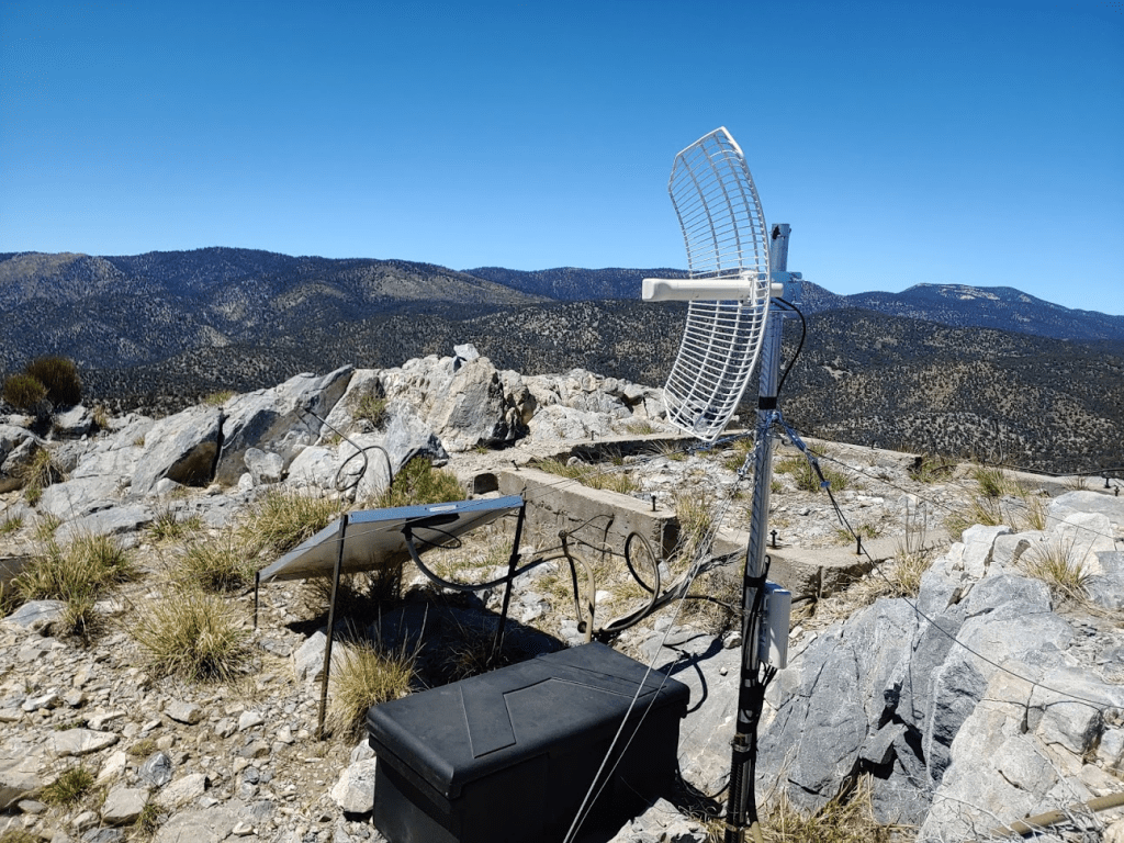
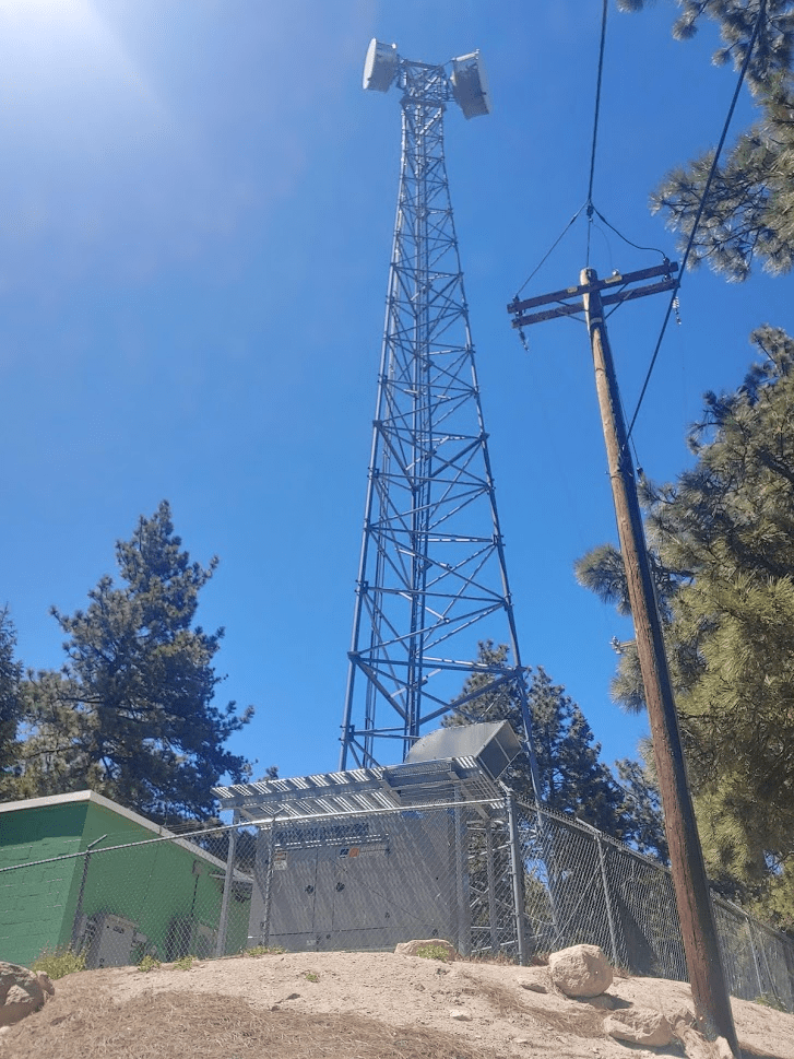
I followed a vague trail as it ascends steeply to the north. I soon came upon a tall communication tower.
The trail was vague but still easy to follow.

At 1 mile the trail fades. I first bent northwest and then eventually northeast. I went up and down a few dips as well.
After the 2nd dip, I made my way up a steep hillside. There was some minor knee high brush in this section, and a lot of downed trees as well.
At 1.44 miles I went over a small rise and found an old dirt road. This is where the route I was on intersects the shorter route from the northwest. I was only about 300 feet below the summit at this point.

The road immediately descends slightly and then goes through a small flat. The road must not have been used in many years as there were a lot of downed trees blocking the way. The trees started to thin out as I got near the summit.

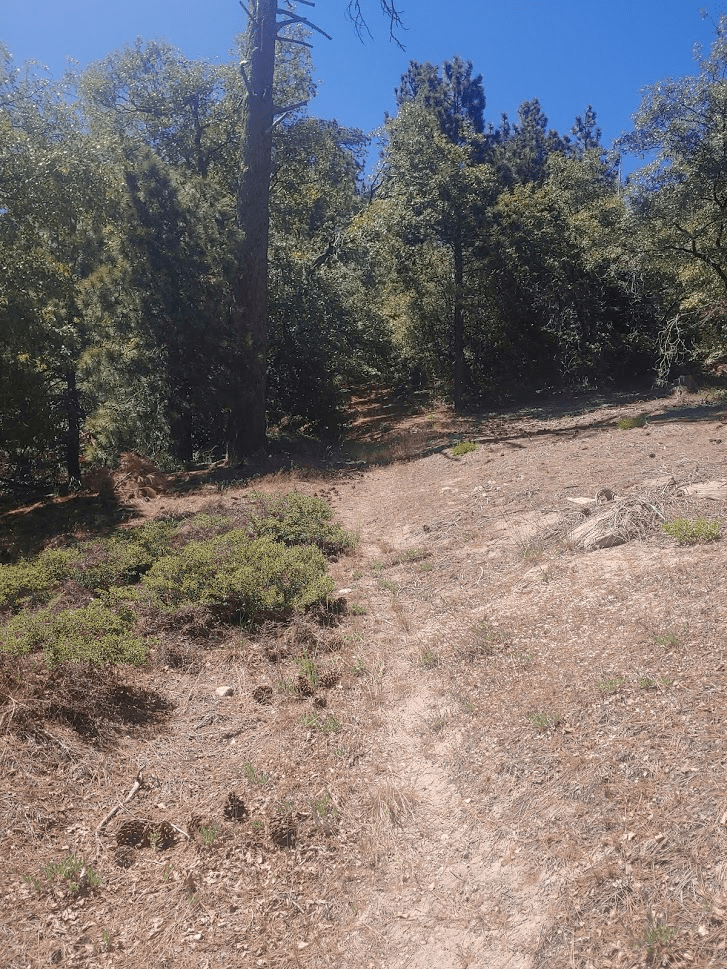
The road ends just below the summit. I followed a use trail the rest of the way up.
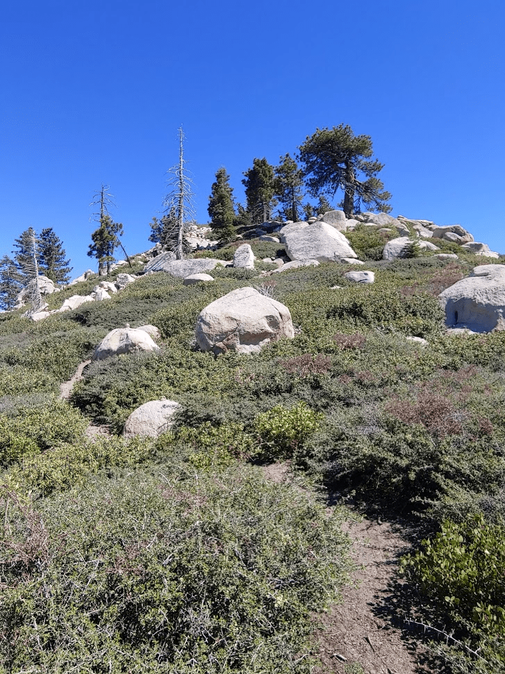
I reached the summit at 3:34pm at the 2.24 mile mark!

I was surprised to find 3 other groups (all couples) on the summit. I didn’t expect this peak to be so popular! There are no survey markers on this peak. There is a “Crafts” benchmark and reference markers, but strangely they are on the summit of Butler Peak. I found the register which consisted of 3 memo pads. The views were nice but not all that different from Butler. I could see the fire lookout on Butler which was pretty cool.
Mount Baldy now appeared as a silhouette as the sun began to get lower in the west.

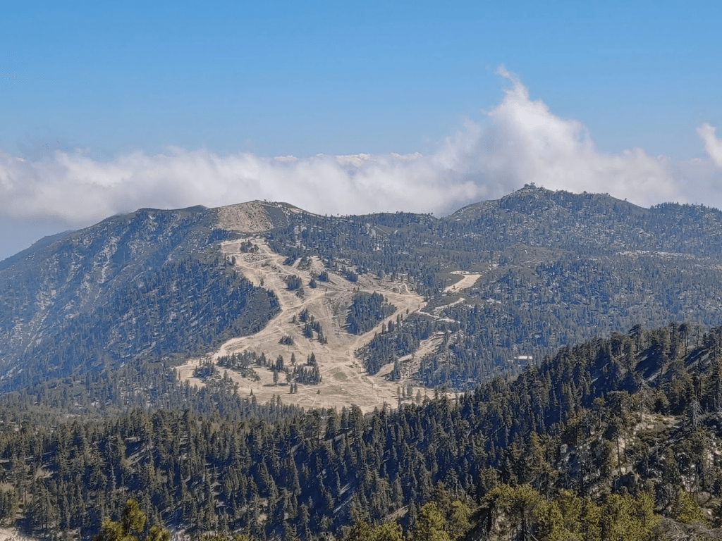
The cloud layer was closer than ever. Ski runs can be seen in the foreground below.
I stayed on the summit for about 30 minutes. I always like to spend a little extra time soaking in the views when my trips are nearly over. I was excited to get home and relax but I was sad to be leaving the mountain as well. I started the descent just after 4pm.
I followed the road as it wound its way north. At 3.13 miles, I left the road and continued cross country.

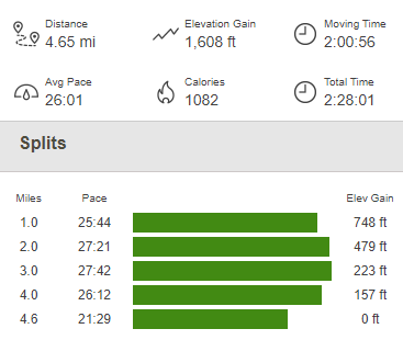
I found the trail again and hiked the rest of the way back to the highway. I was finally done for the day at 5:02pm. Totals for this hike were 4.65 miles, 1608 feet elevation gain, and 2:28:01 total time.
I was very exhausted after the whole weekend, but I was also very impressed with myself. I managed to climb 8 HPS peaks in 2 days, as well as a wilderness high point and a handful of other Peakbagger peaks. I hiked about 36 miles across the 2 days. I enjoyed the drive back home to San Diego and had a very restful night of sleep once I got home.
