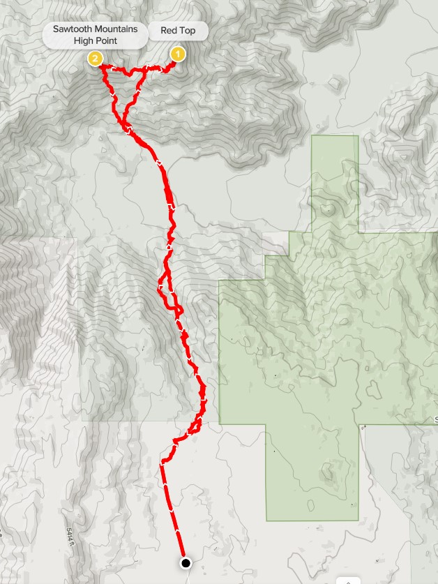
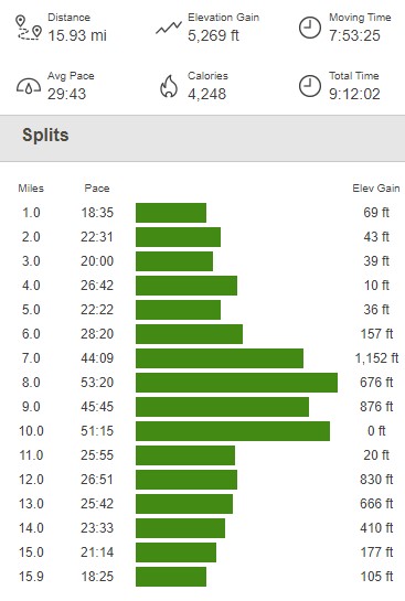
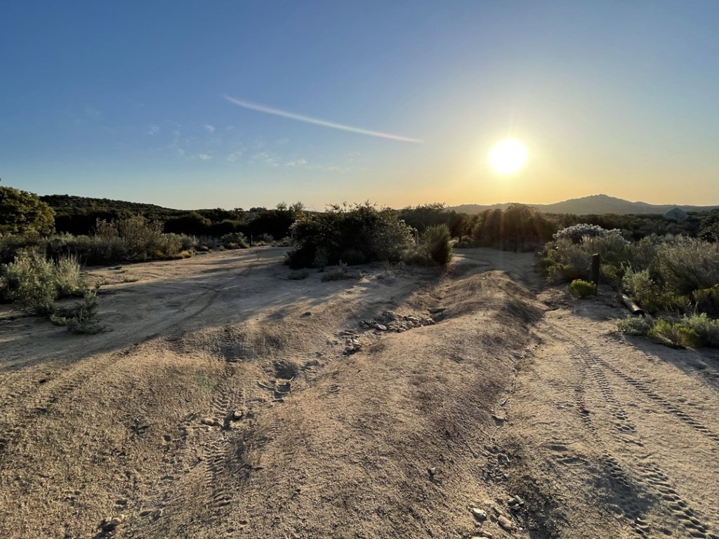
The Sawtooth Mountains are a very small range in southern San Diego County east of the higher Laguna Mountains and west of Anza Borrego Desert State Park. There are 2 peaks within the range on the San Diego 100 Peaks List: Sawtooth Mountains High Point (4684 feet) and Red Top (4467 feet). The Sawtooth Mountains Wilderness boundary actually extends slightly beyond the mountain range itself onto the slopes of the Lagunas near the Cuyapaipe Indian Reservation. Because of this, the wilderness high point is quite a bit higher than the actual mountain range (I climbed the wilderness high point back in January). Anyway, the Sawtooth Mountains are located in a pretty remote area in San Diego County so a climb of the 2 peaks makes for a very long day (a lot of hikers also do it as an overnight backpack). The 2 main approaches are from McCain Valley Road to the south or from North Indian Canyon Road to the east. I chose the McCain Valley approach since the drive is substantially shorter from San Diego. I hit the road at 5am and it took me just under an hour and a half to reach the trailhead. McCain Valley Road is a long gravel road that goes north for about 14 miles from Old Highway 80. The first 13 miles to Cottonwood Campground are smooth gravel and you can drive 30+ mph on it. The road narrows beyond the campground and is severely washed out so I parked at that point. I began hiking under the windmills at 6:30am from 4438 feet.

I was expecting a warm day, but it was very cold this early in the morning. I put on my heavier jacket as I headed north along the road.

I reached the end of the road at a turnaround at 1.1 miles. The sun was already up in the east.
I continued northeast on a narrow trail. I noticed fresh motorcycle tracks in the sand.
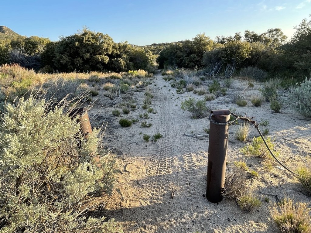
I warmed up pretty quickly, so I began shedding layers. At 1.6 miles I passed through a barbed wire fence.
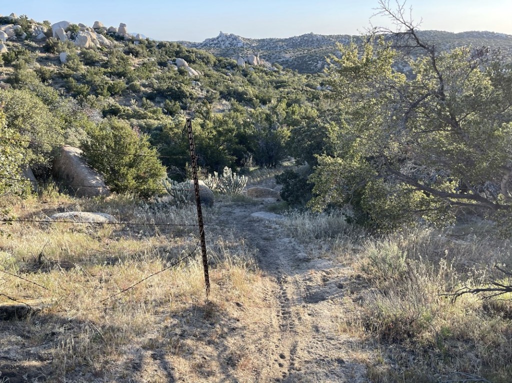
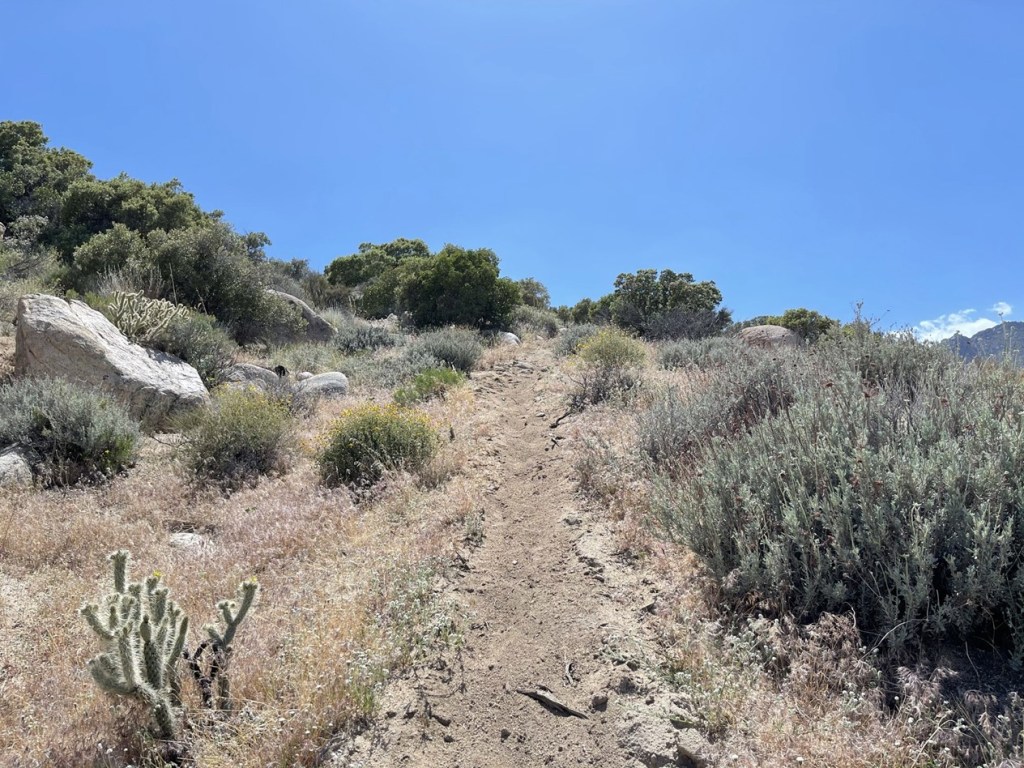
The trail faded shortly after that. I continued northwest over undulating terrain. There were a few game trails and drainages that made the hiking a bit easier.

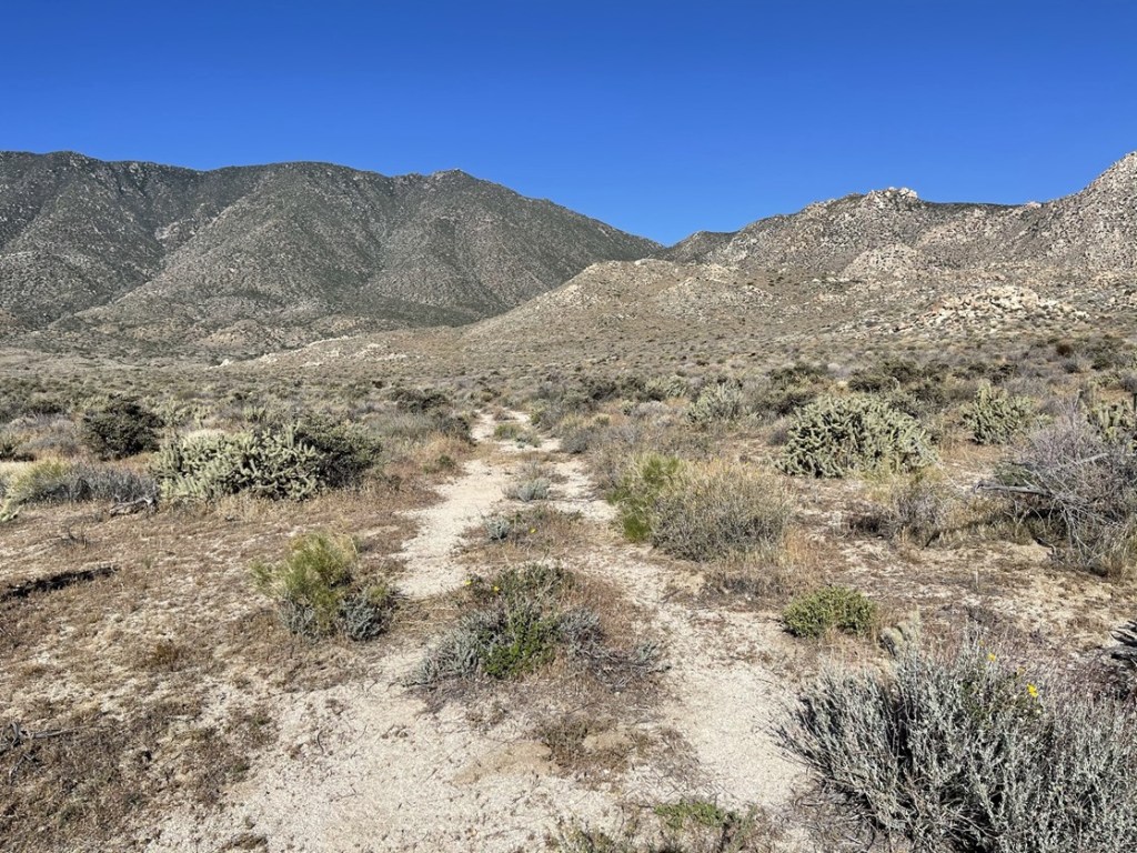
At 2.3 miles I reached the Pepperwood Trail which I would be able to follow for the next few miles.

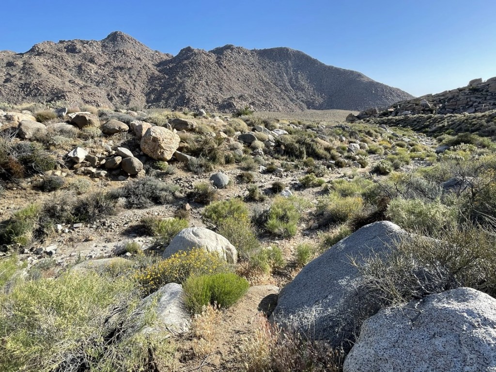
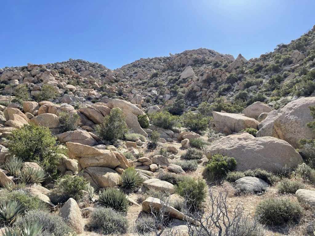
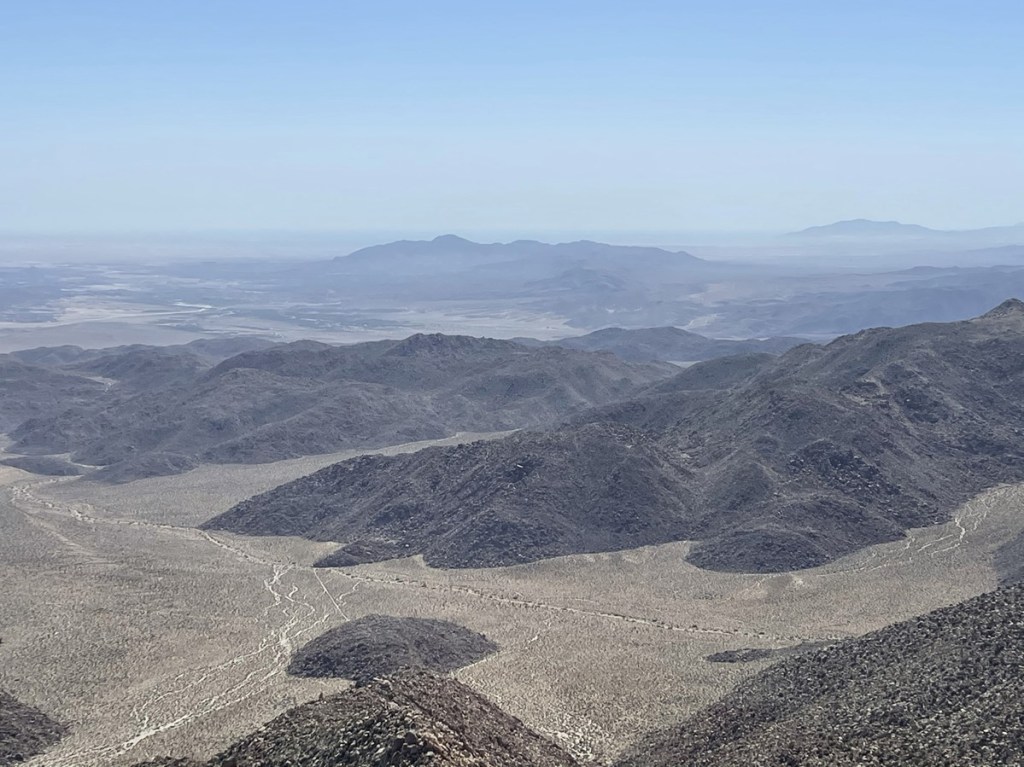
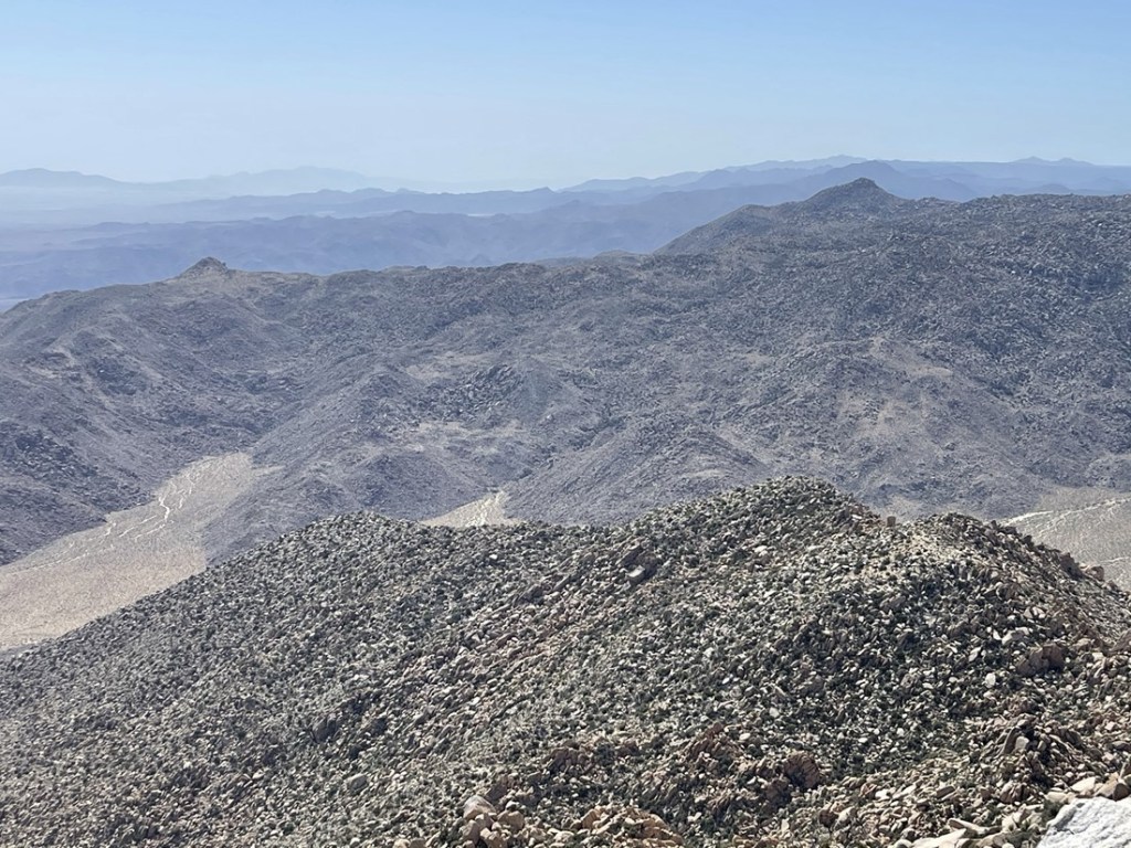
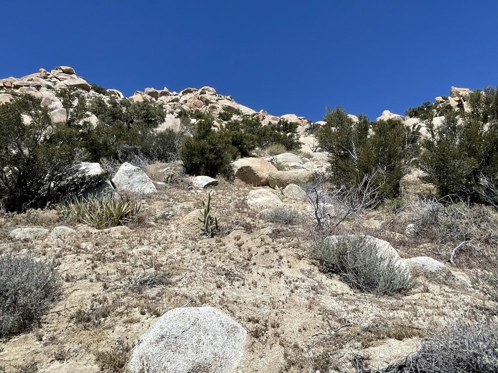
This hike was odd in the sense that the peaks and the trailhead were at nearly the same elevation with a 2000 foot drop in between. I began the long descent to Canebreak Valley and got my first glimpse of the peaks in the distance. Red Top is on the right and Sawtooth is on the left.
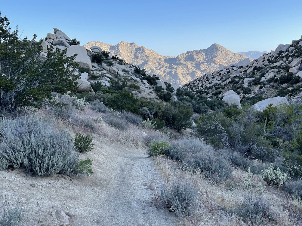
The trail descended down the left side of a major gully that led into the valley below.
The trail began to fade and then I lost it all together. I was expecting the trail to lead all the way into the valley, so I was confused. After checking the maps I had downloaded it appeared the trail actually had crossed to the other side of the gully without me realizing. I set off to rejoin the trail by descending into the main drainage and the up the other side. This was pretty difficult due to thick brush and a few boulders in the gully. Eventually I found myself on the other side of the gully on much friendlier terrain. I reached the trail again at 4 miles.
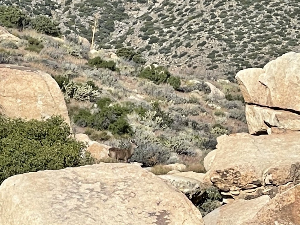
Shortly after regaining the trail I spotted a deer running off in the distance. It paused long enough for me to take a picture. I’m not used to seeing deer in the desert!
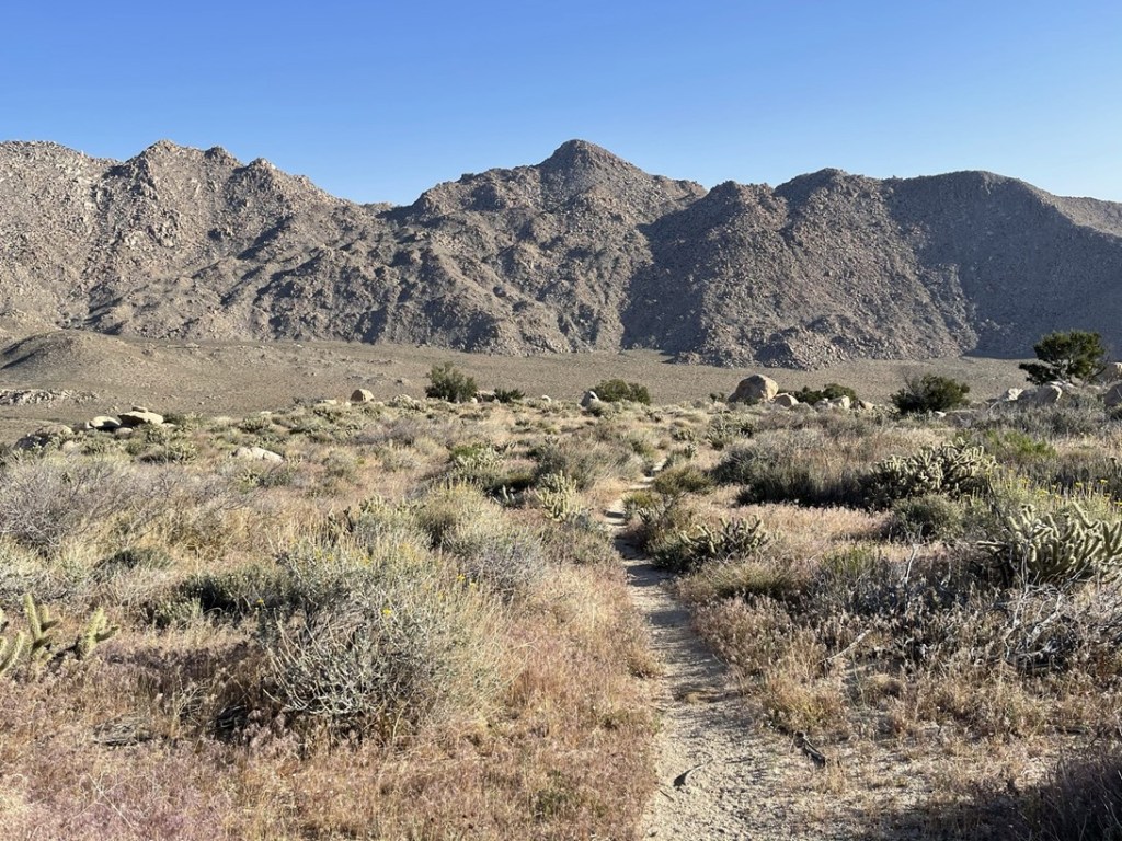
I soon reached Canebreak Valley around 2400 feet. I left the trail where it entered a wash to head directly north across the valley towards the peaks. I’m not sure where the trail goes from this point but I’m guessing it eventually just fades into the desert.
About halfway across the valley I crossed an old road that looked like it hadn’t been used in decades.
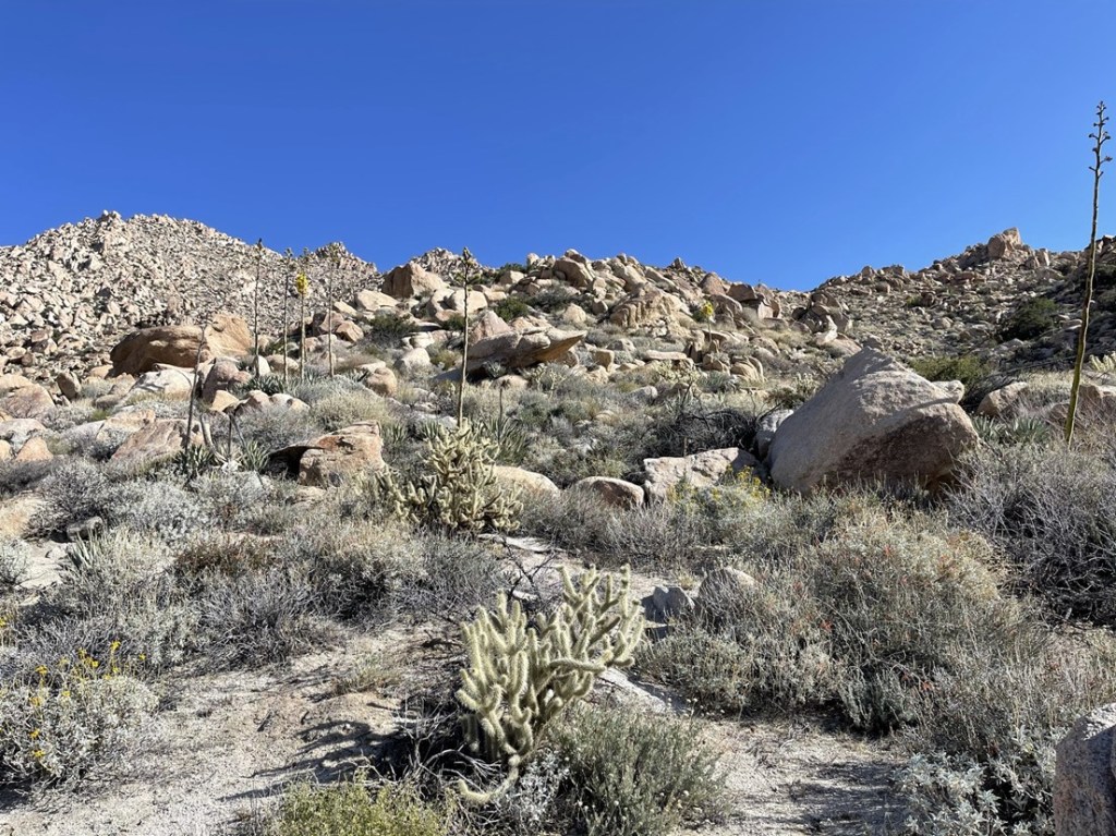
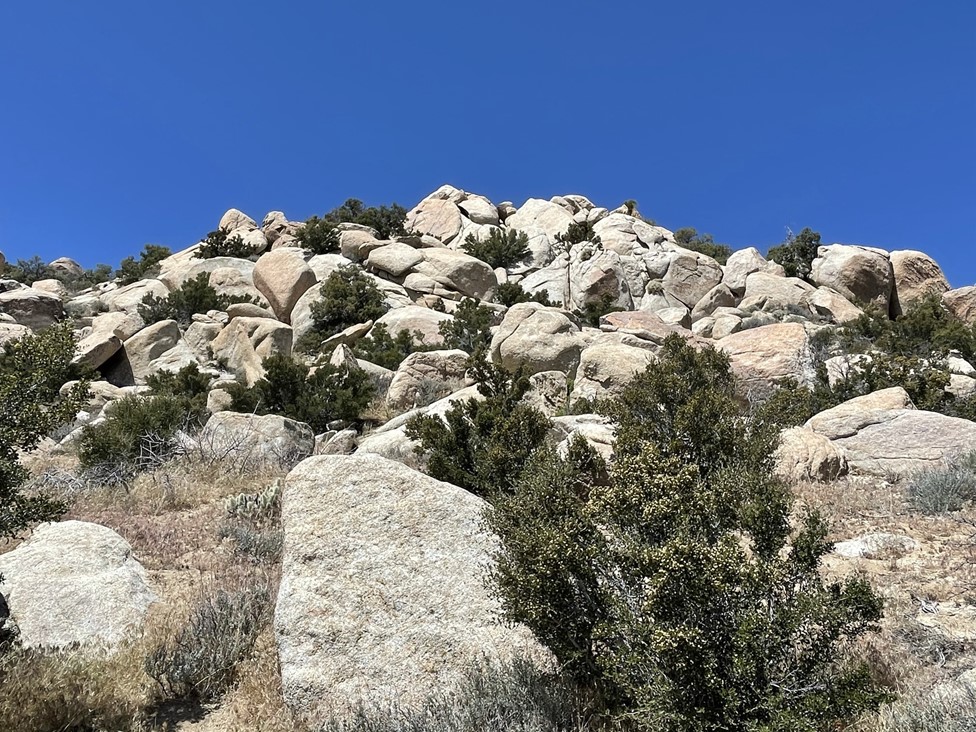
At 5.7 miles I reached the base of the Sawtooth Mountains. It was straight up from here!

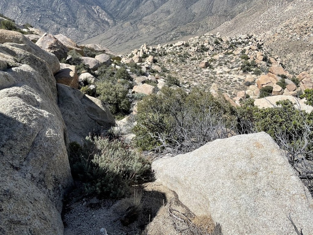
I went up a broad gully towards the saddle between Red Top and Sawtooth. The slope was steep and there were many large boulders which slowed my progress. The brush was also a little thicker than I’m used to in the desert. I think since these mountains are on the western edge of the desert near the Laguna Mountains, they probably get a little more rain than other drier areas to the east.
I noticed some yuccas in full bloom.

After a mile of climbing, I reached the saddle at around 3800 feet. I turned east to climb Red Top first.
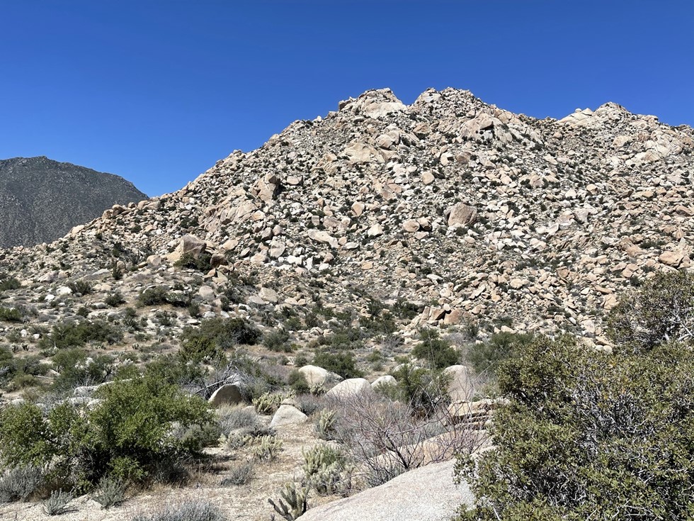
I first hiked straight east and then turned northeast towards the summit. At one point I found a bear spray canister on the ground. I’m not sure why anyone would be hiking with that in the desert (afraid of mountain lions perhaps). The climbing got very difficult for the last few hundred feet. House sized boulders and some mild brush really made things tedious.
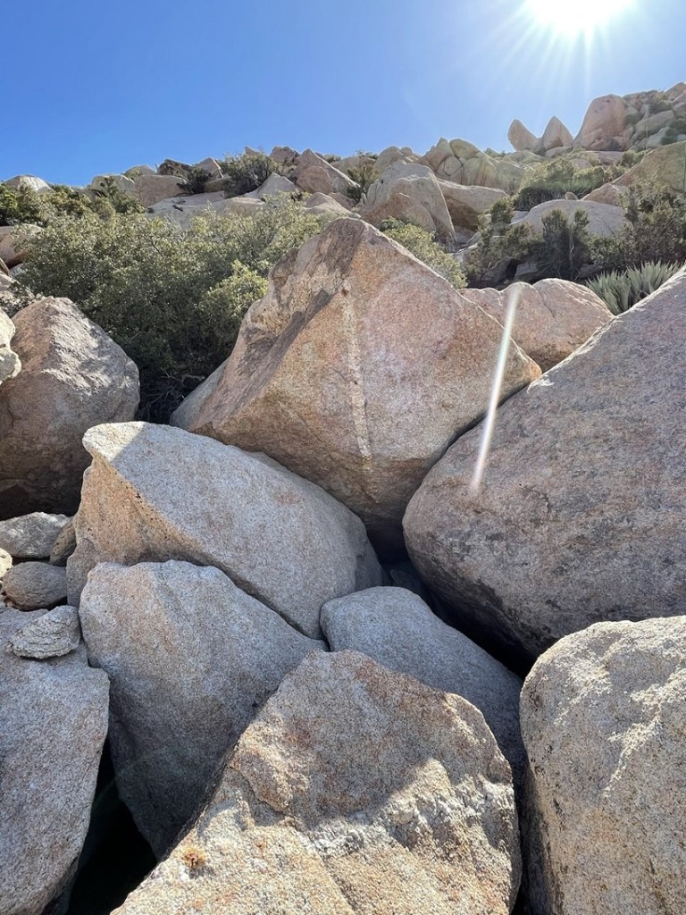
I had to do a few class 3 moves and had to squeeze around some brush to proceed higher. Eventually I reached the summit area. The summit block is a large boulder about 15 high that require an easy class 3 move to reach the top. There was a smaller boulder on the side of it that I climbed up on first. From there, I used friction and a few flaky holds to pull myself up.

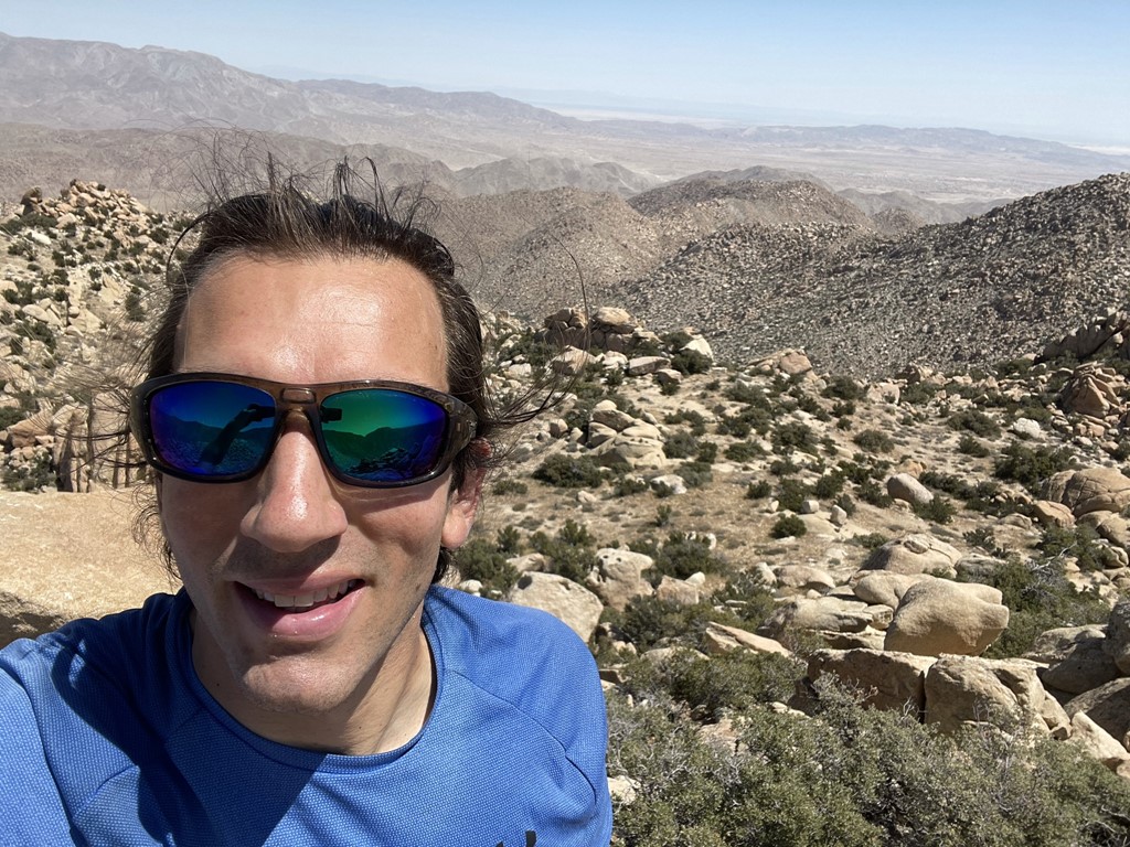
I reached the top at 10:03am at 7.3 miles!
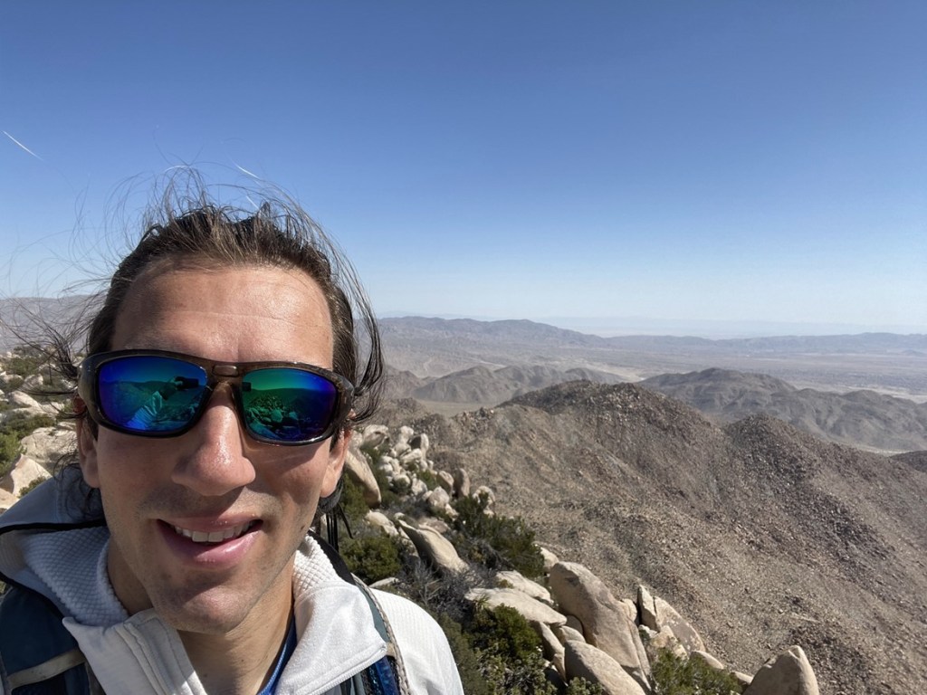
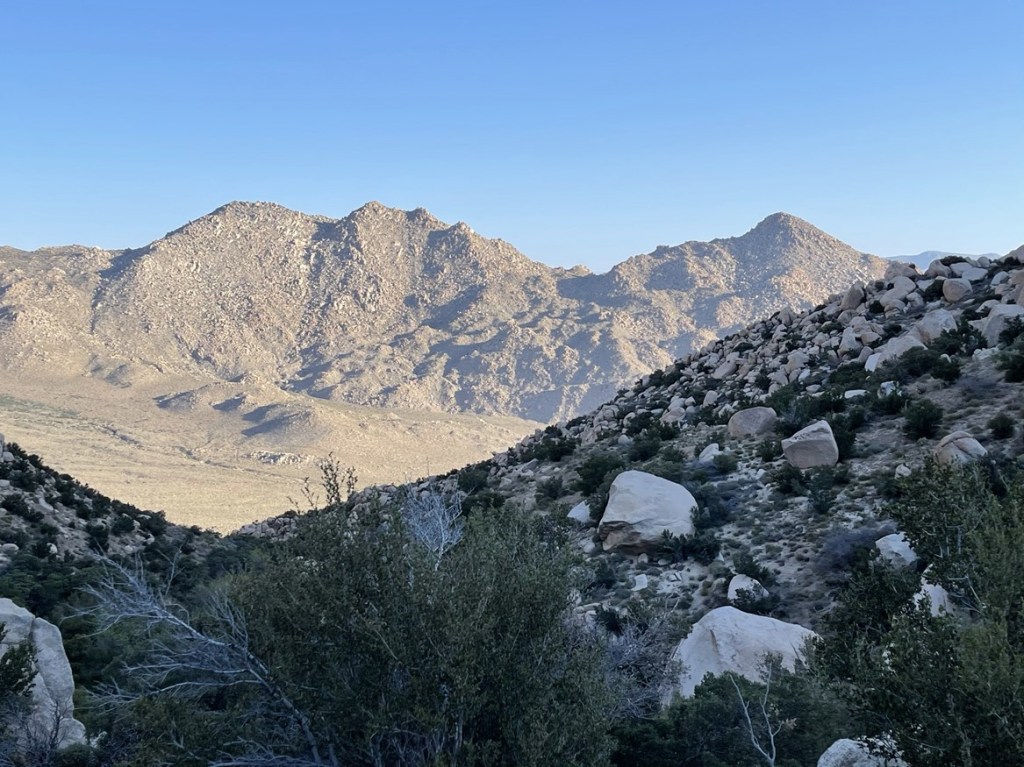
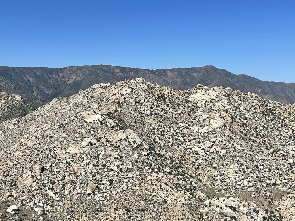
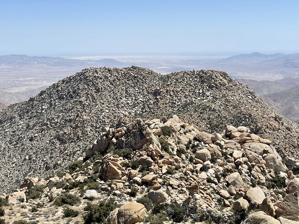
It was a clear sunny day, so the views were pretty good. I could see Sawtooth about a mile away to the west. I could also see the higher peaks of the Lagunas in the distance including Stephenson Peak and Monument Peak.
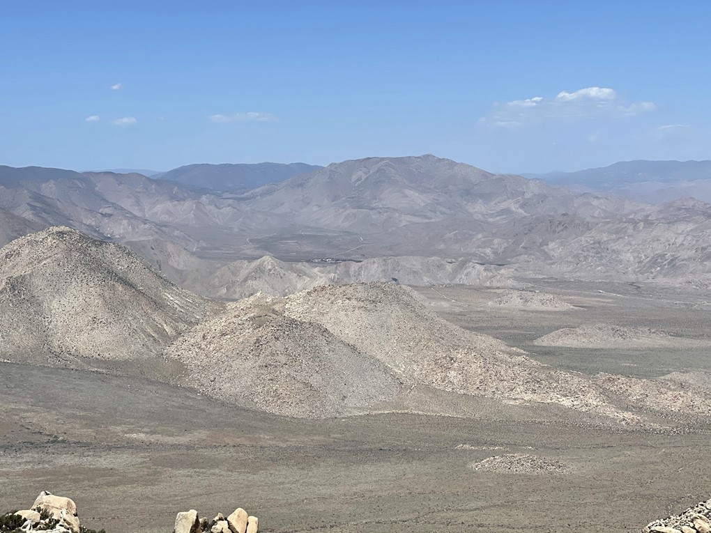
I could see the Fish Creek Mountains to the northeast.

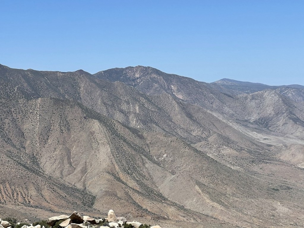
Carrizo Mountain to the east:
And False Sombrero (left foreground) and Sombrero (right foreground) to the southeast.
I climbed down off the summit block and found the register tucked underneath some rocks at the base. The register dated to 2013 and was most recently signed on March 21st. I signed it and then began descending back to the saddle.
I followed my ascent track while heading down. I reached the saddle at 8.2 miles. From there, I began climbing Sawtooth.
The terrain was difficult but actually wasn’t as bad as Red Top. There were some sandy sections which helped my progress a little.
I had to sidehill around the south side of a minor peak.

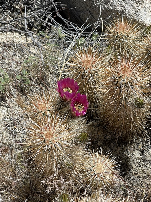
I noticed some pretty pink flowers.
Near the top I curved around and approached the summit area from the north.
I soon reached the summit block. The summit block is harder than Red Top and I’ve seen people report it as high class 3 or even class 4. There is a prominent crack on the eastern side which most people use to climb it.
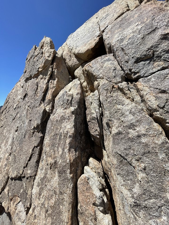
The lower part was the most difficult. There were good hand holds though so I was able to hoist myself up to the next ledge. A shorter person might have some difficulty here. I was a bit nervous about climbing back down but the ledge was still low enough that I figured I could jump if I had to. From the ledge it was an easy but exposed to climb to the top. I reached the summit at 11:54am at 9 miles!
The views were similar to before. I could see Red Top to the east. Red Top is the bump on the left.
To the north I could see Granite Mountain.
To the northwest I could see Garnet Peak (left) and North Peak (right).
I took just a couple pictures and then carefully climbed back down. I found the register in a small pile of rocks at the base. The register dated to 2013 and was most recently signed on March 21st by the same party that had signed the Red Top register. I had some water and snacks and then began descending just after 12:20pm.

Instead of returning to the saddle, I simply descended directly south from Sawtooth. The terrain here was slow going but not any worse than what I had hiked through so far.

I reached the base of the mountains, hiked south across the valley, and reached the trail once more at 11.3 miles. This part of the hike was very difficult since I had to ascend 2000 feet while very exhausted and in the hot sun (low 70s today).
I managed to not lose the trail this time which was good. I found the spot where I lost the trail before and was surprised that more people don’t have issues. The trail pretty much doubles back as it crosses the gully while a tempting use trail continues in the wrong direction. I left the trail eventually and hiked cross country back to the road. I reached the road again at 14.8 miles. I startled a couple who were parked in a truck at the end of the road. I’m sure they weren’t expecting to see a hiker appear out of the wilderness (although I’m sure they saw my car a mile up the road). From there, it was an easy walk back to the car, which I reached at 3:42pm. This hike totaled 15.93 miles, 5269 feet elevation gain, and 9:12:02 total time.