I was still recovering from Covid, so I decided to go for a long drive instead of my usual strenuous hike. It had been about 2 weeks since symptoms first appeared, and I felt mostly fine except for some shortness of breath. Unfortunately, the respiratory issues were enough to keep from doing any exercising. I was somewhat desperate to get outside after getting through the 10 day isolation period. I decided to drive out to Red Mountain Fire Lookout in San Bernardino National Forest. At 4573 feet, Red Mountain is a somewhat innocuous peak located near Cahuilla Mountain just north of the town of Anza. I climbed Cahuilla Mountain in February 2019, so I was familiar with the area. Cahuilla Mountain is an HPS peak and is a fairly easy 6 mile hike. I had good memories of the hike – Stella came with me and the mountain was covered in snow at the time. I left San Diego around 11:00am and made the 1 hour 45 minute drive to Anza. From Highway 371, I went North on Cary Road and drove 2 miles until it turns into Tripps Flat Road. I continued on Tripps Flat Road for another 2 miles and turned left (west) onto Forest Road 6S22. From there it was about 9 miles on a decent dirt road to the summit of Red Mountain. The road was a little bumpy but no problem for my Subaru. High clearance recommended for a few rutted sections, but you could possibly get through with a sedan. I passed the trailheads for Cahuilla Mountain and Little Cahuilla Mountain along the way. Little Cahuilla is another HPS peak, and I actually haven’t climbed it yet. I was a little frustrated about driving all the way out there and not climbing it, but I was just glad to be out of the house. I reached the summit of Red Mountain at 1:37pm. It was 47 degrees, but there wasn’t much wind, so it felt nice.
The lookout is still in use, but I think it was closed for the season at this time. There is also a communication tower on the summit.


I tried to climb up the stairs but the door to the landing was locked. There are a few large boulders located southwest of the tower that appeared to be the highest point, so I climbed up there. I found a “Red 2” marker.

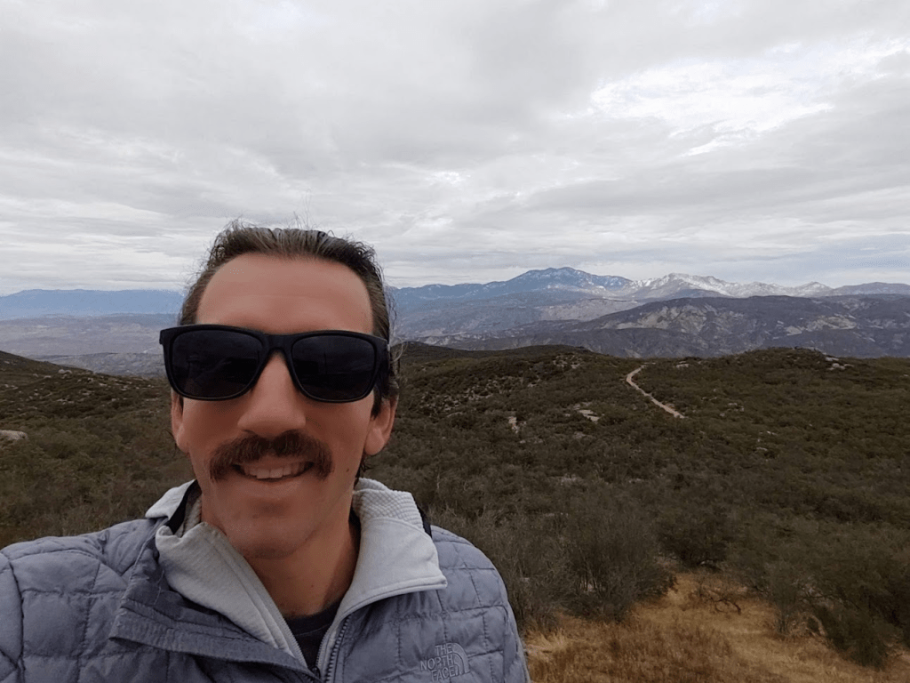
I grabbed a snack from my car, climbed up to the highest boulder, and just enjoyed the views. It felt so nice to get outside after being stuck inside for so long. The views were tremendous despite some clouds. All of Southern California’s major mountains were visible, including San Jacinto to the northeast:
The top of San Gorgonio was hidden underneath the cloud layer to the north:

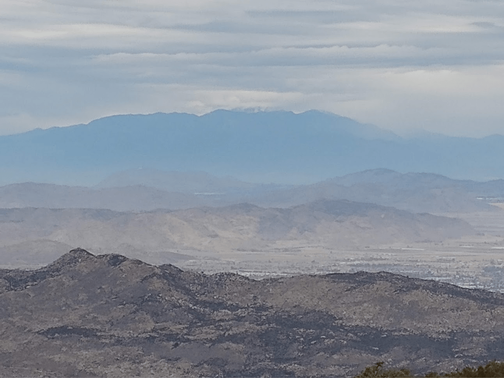
A little bit of snow was visible on Mount Baldy’s summit to the northwest:
Santiago and Modjeska were visible to the west:

To the southwest I could see the Palomar Observatory:

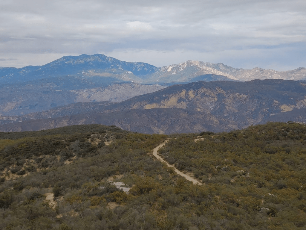
And to the southeast I could see Thomas Mountain and Toro Peak in the distance:

Sadly, I also spotted a wildfire burning to the west. I learned later that this was the Creek Fire, which was burning in the Camp Pendleton area. I hoped that this cool, damp weather would make the fire easy to combat.

I spent about an hour total on the summit just enjoying the views and being outside. It was quite a long drive to get back home or else I perhaps would have stayed longer. I actually got snowed on a little bit I was driving back down Forest Road 6S22 which was kind of exciting. It eventually turned to rain as I reached pavement again. There was one car parked at the Cahuilla Mountain trailhead, but otherwise I didn’t see any signs of people all day. Despite not being able to do any hiking, it was definitely a nice day in the mountains.
