Red Mountain is a 5261 foot peak located near US-395 between Adelanto and Ridgecrest. Despite its unimpressive elevation, it is the highest mountain in the area and has just over 2000 feet of prominence. I had driven by it dozens of times on my way to and from the Sierra but hadn’t found the time to climb it yet. I was on my way to Death Valley National Peak to climb Manly and Needle, but I had some extra time so I decided to make a quick 2 hour stop to climb it. From the intersection of US-395 and Trona Road, I drove southeast on a dirt road for a mile or 2 before parking. The network of roads in this area is confusing, but I generally stayed on the widest road heading towards the peak. I began hiking at 8:12am from 3782 feet above sea level.

I hiked east up the dirt road, which soon became steep and very rough. Only the most capable 4WD vehicles would be able to get much further than where I parked. At 0.8 mile I reached a pass and turned south onto a narrow trail.

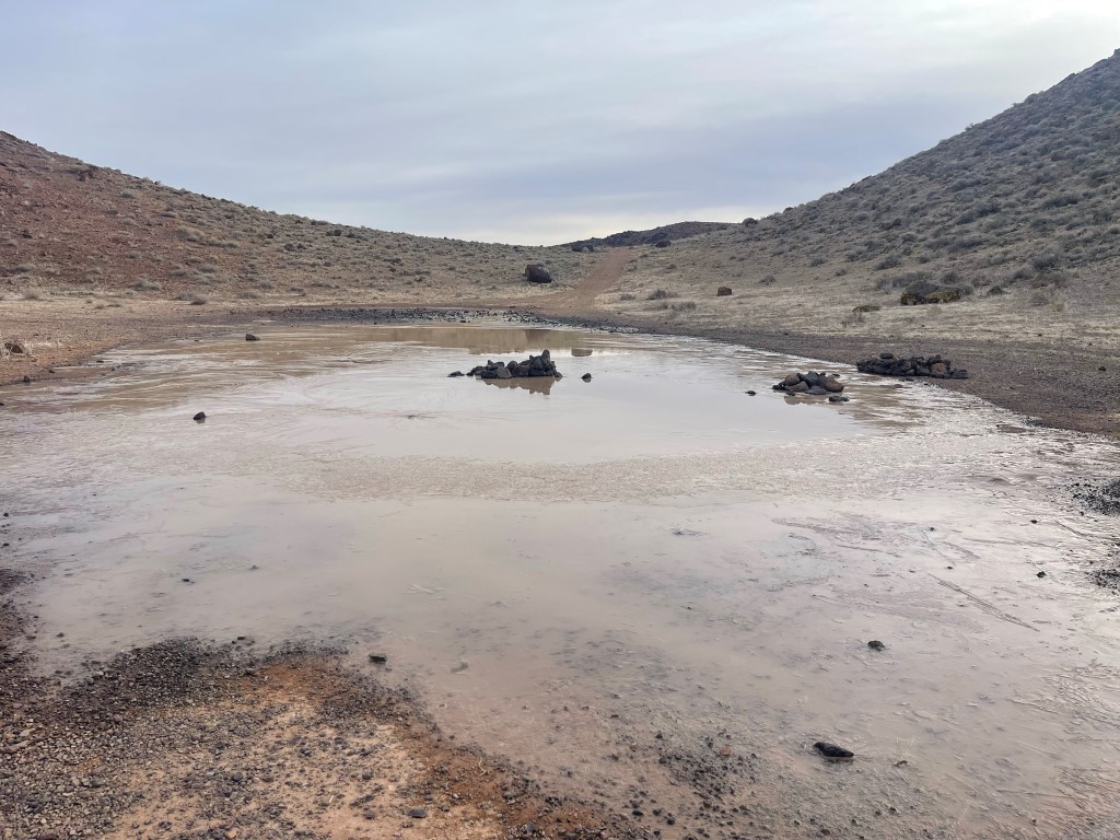
The trail joined up with another rough road and then made a minor descent to a frozen pond.
I hiked a short way further on a narrow trail and then climbed up a steep slope to the east to gain the main ridge. From there I hiked over a false summit and the true summit came into view.

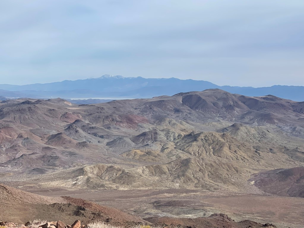
I reached the summit at 9:08am at 2.2 miles. I signed the register which had been placed in December. The most recent entry was from January 30. The views were excellent due to the peak’s prominence and isolation. Telescope Peak to the north:
To the northwest I could see some of the lower peaks of the Southern Sierra, including Owens. Olancha was not quite visible due to cloud cover.

Mount Baldy to the south:

I retraced my steps back to the car. Stats for this hike were 4.4 miles, 1690 feet elevation gain, and 1:51:54 total time.


