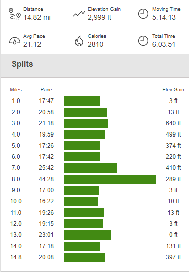
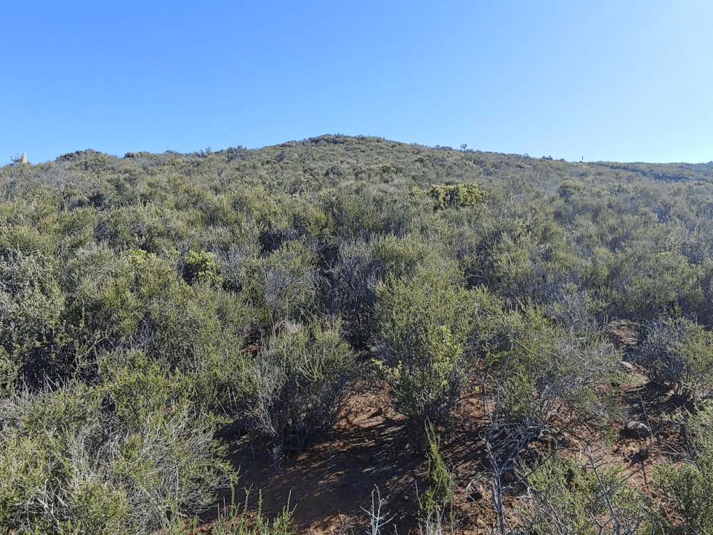
For the second day in a row, my primary objective would be to climb a wilderness high point in San Diego County. The previous day, I had climbed Otay Mountain Wilderness High Point (as well as Otay Mountain and a nearby unnamed peak) for a nice 6 mile hike. I had wanted to do an easier hike due to having stitches in my foot still. That hike had gone so well. and I had zero pain, so I decided to do more a strenuous hike today. My goal would be an unnamed peak of elevation 4424 feet which is the high point of the Pine Creek Wilderness. The Pine Creek Wilderness is 1 of 4 federally designated wilderness areas in Cleveland National Forest. I had previously climbed the other 3 high points: Morena Butte, Agua Tibia Mountain, and San Mateo Peak. I was running out of peaks to do on the San Diego 100 Peaks List, so I was glad to have these wilderness high points to give me a few more peaks to do. Most of the peaks I have left on the San Diego 100 Peaks List are in the desert so it would be too hot to attempt those this time of year anyway. I was anticipating a 14 mile hike on trail, dirt road, and a little cross country bushwacking. I started at the Horsethief Trailhead, which actually was still closed due to CoViD-19. When I arrived, the large dirt parking area was blocked off but there were already a few cars parked alongside of the road, so I didn’t feel too worried about parking there. I started hiking at 6:08am from 2505 feet above sea level.

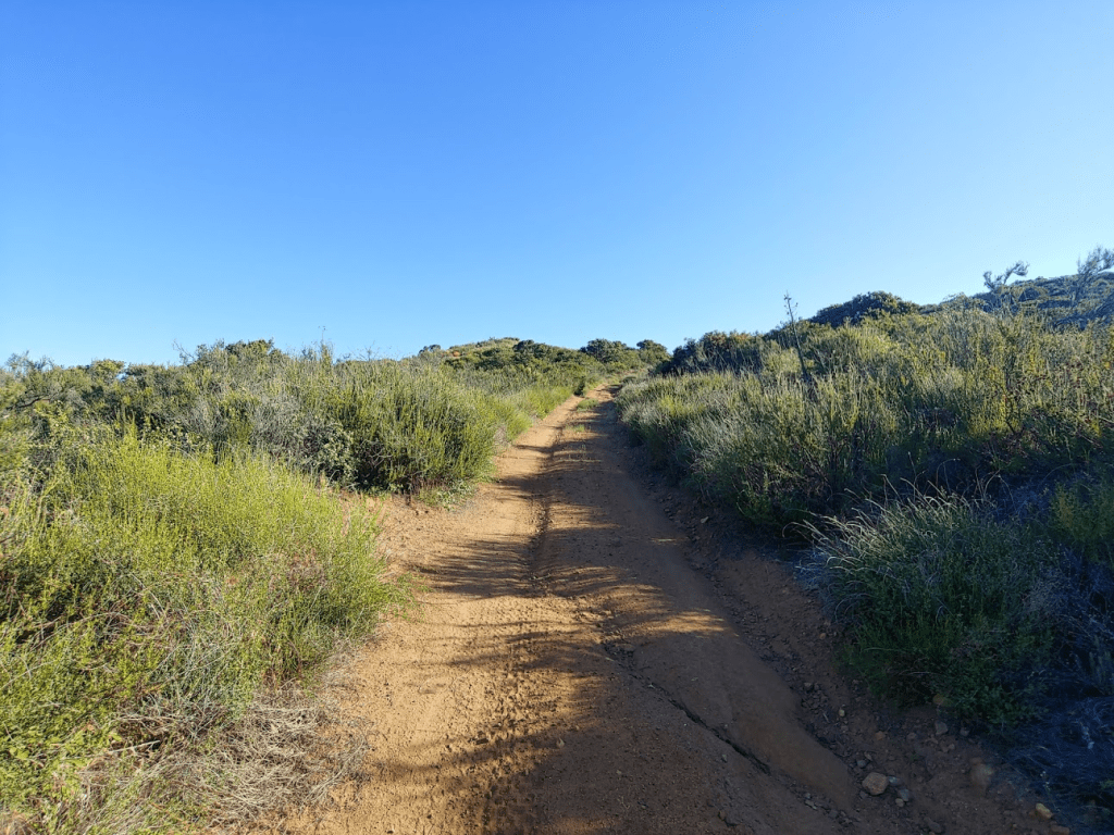
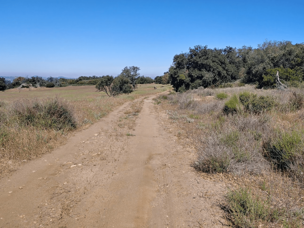
I proceeded through the parking area and started walking on a wide dirt road (Horsethief Road). The road immediately makes a sharp turn to the north. At 0.3 mile, I reached the start of the Espinosa Trail. I turned right (east) onto the trail.
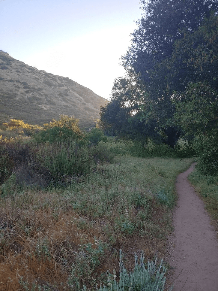
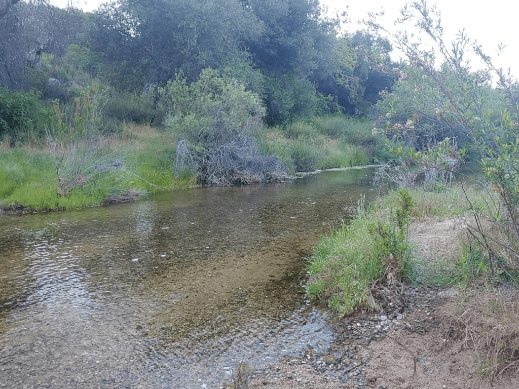
The trail immediately descends into a valley. By the 1 mile mark, I had already descended 500 feet. After the initial descent, the trail parallels a small creek (Espinosa Creek) for a while. There were many impressive, large oak trees.
The temperature was cool so early in the morning, but it was already nice enough that I didn’t need a jacket. I really enjoyed the scenic beauty of the riparian woodland.
At 1.41 miles, the trail crosses the creek. Using my poles for balance, I was able to walk across a log to avoid getting my shoes wet.
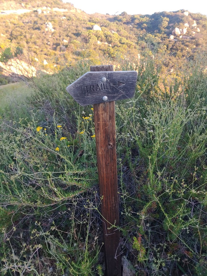
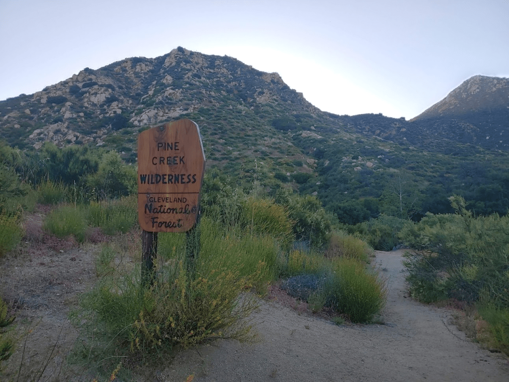
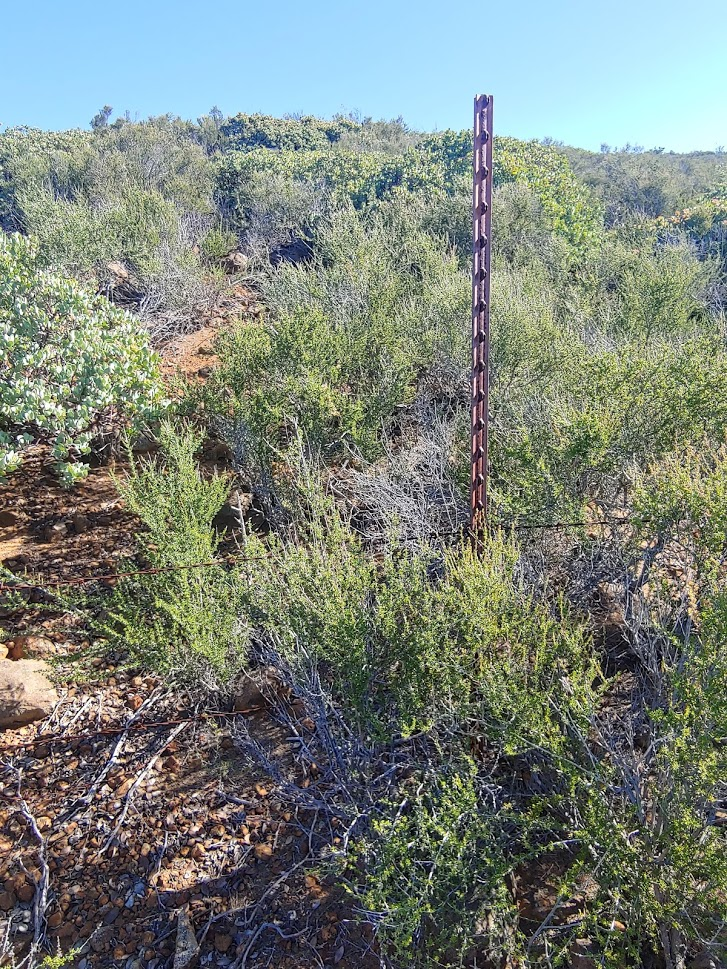
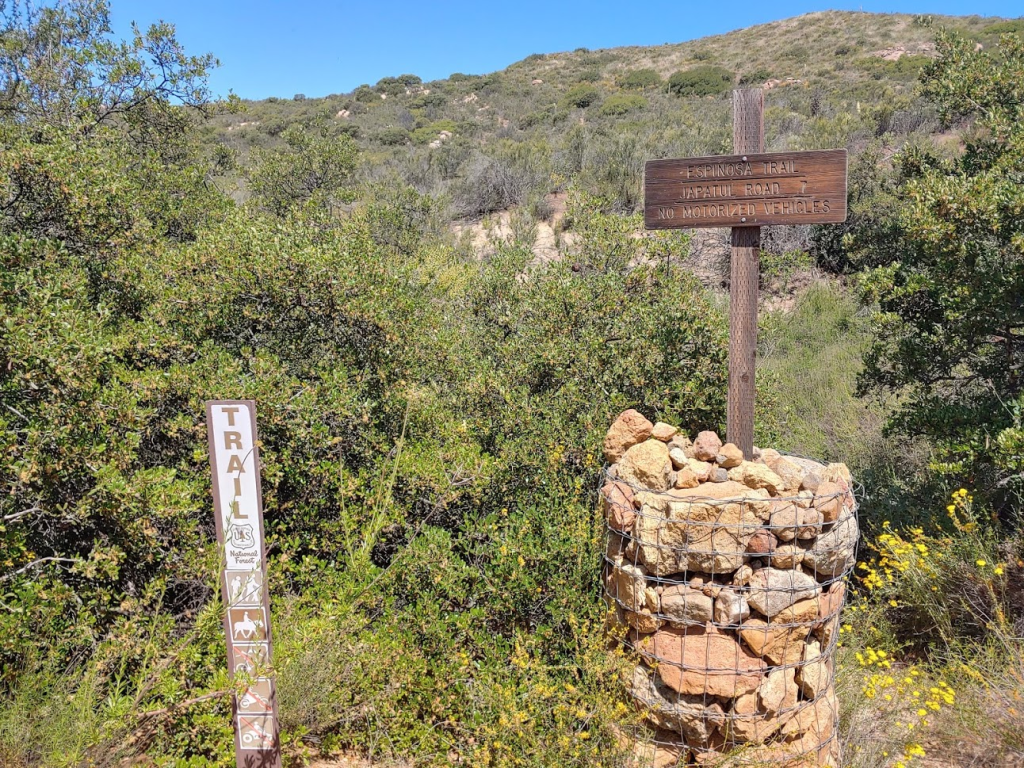
At 1.79 miles there was a cool wilderness sign.
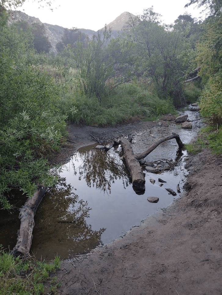
Shortly after passing the sign, I arrived at Pine Creek. It was actually much more impressive than I was expecting. It’s rare to see so much water in Southern California. This would be the lowest point of my hike at 1970 feet.
I walked a short distance upstream and found some large boulders I could hop across without getting wet. Normally I would have taken my shoes and socks off and waded across, but I thought that was a bad idea with my stitches.

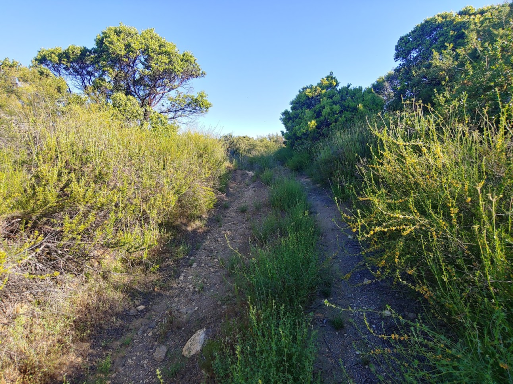
After crossing the creek, the trail finally starts gaining elevation.

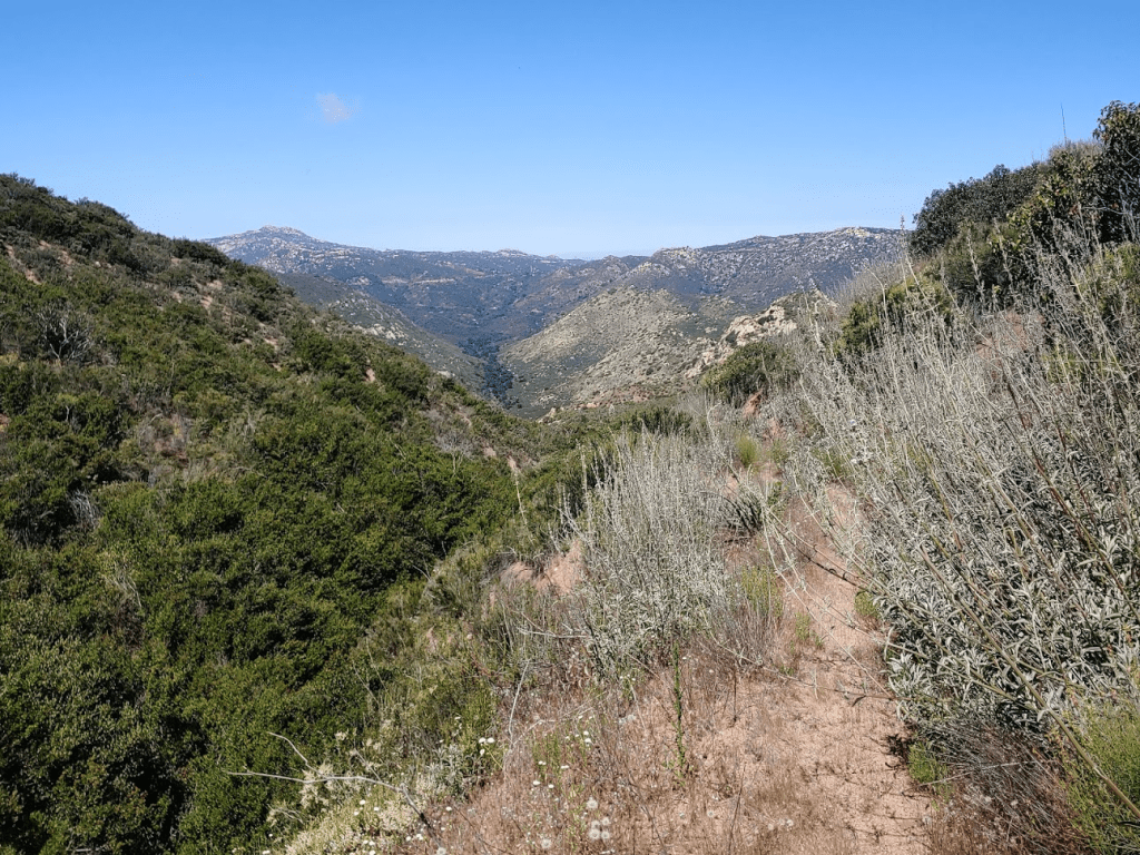
The trail was pretty overgrown for the next mile or 2. I’m guessing most people hike to the creek and stop there, so the trail beyond the creek isn’t well maintained. The sun was right in my eyes for this portion.

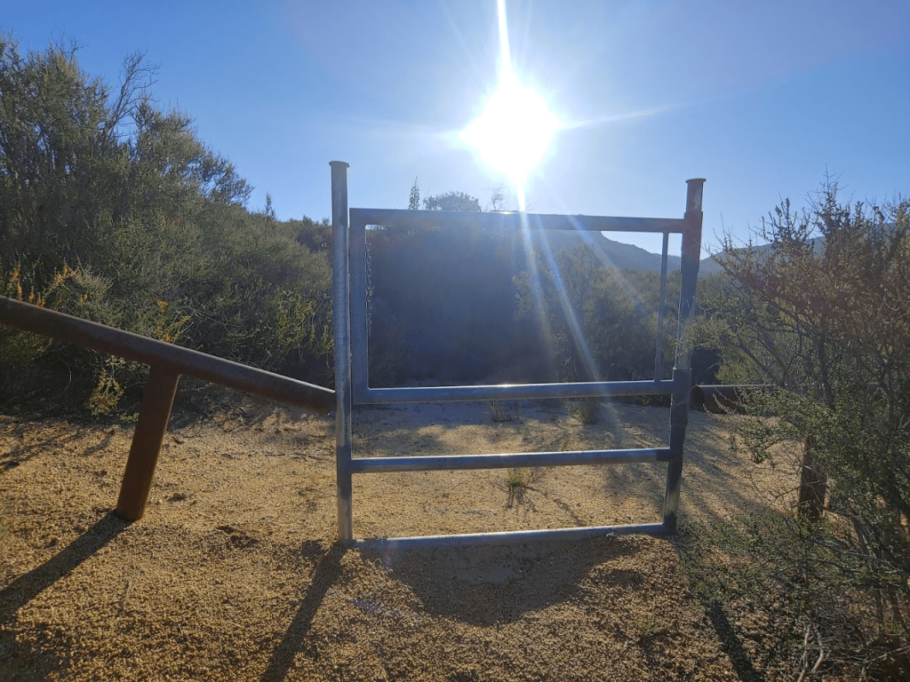
At 3.87 miles I came to an unlocked gate.
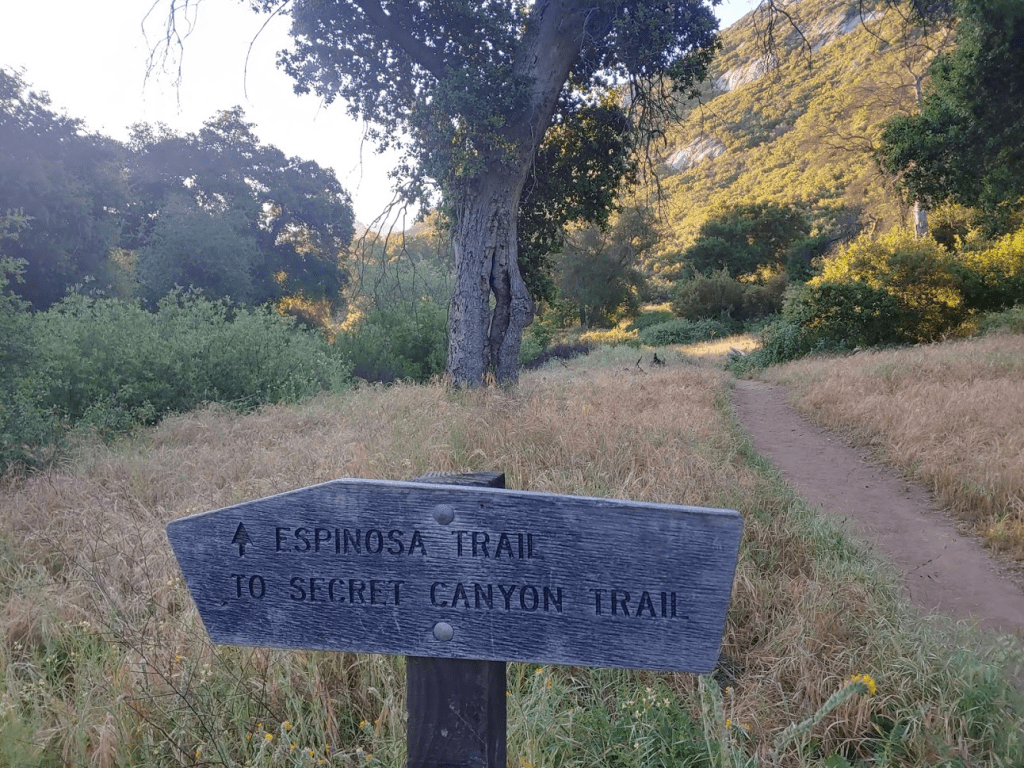
Just past this gate, the trail intersects with a dirt road which Google Maps refers to as Corte Madera Road. Continuing on the Espinosa Trail would take you to a saddle between Corte Madera Mountain and Los Pinos Peak. I instead turned left (north) on the road.
The road was in good shape and continued to steadily gain elevation. After about 1.5 miles, I reached a locked gate. I was able to maneuver around the right side of the gate.

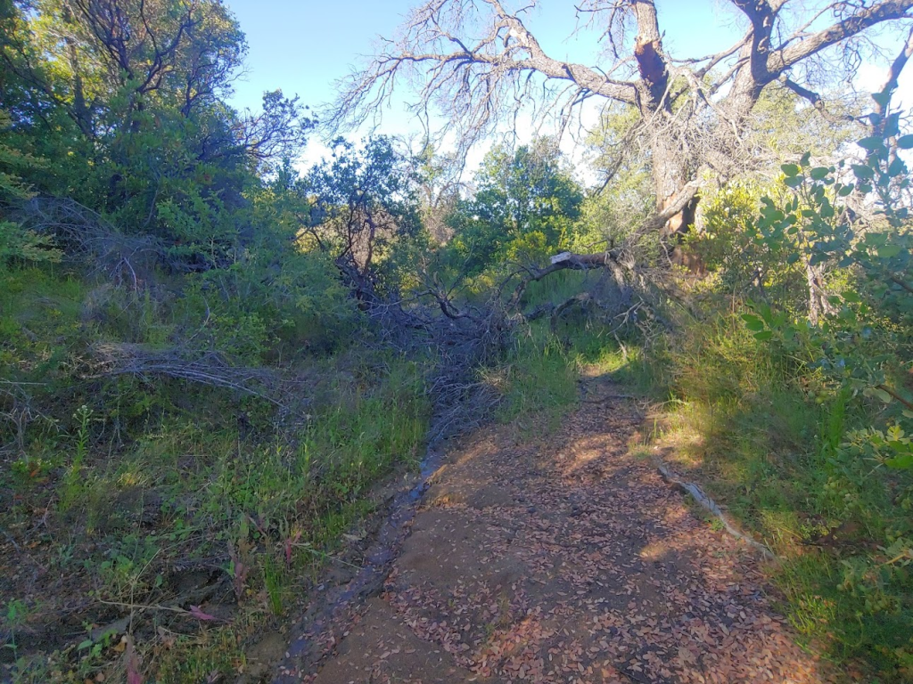
After the locked gate, the road was badly overgrown and there were no tire tracks on the road. It must not have been used in many years.
There were a few downed trees I had to climb over to keep going.
After the 2nd or 3rd downed tree, the road starts to improve. and some tire tracks appeared. I eventually arrived at a clearing and observed some ranch buildings and vehicles on the south (right) side of the road.

I was a little worried about being seen by someone. There were a bunch of signs that seemed to indicate that just the land on the right side of the road was private property, but I wasn’t sure about the road itself. Someone had mentioned in a previous report actually bumping into the ranch owner, and he didn’t seem to mind that they were there. Anyway, I came to a minor saddle in the road at 6.73 miles. Here, I left the road and went north towards the peak.
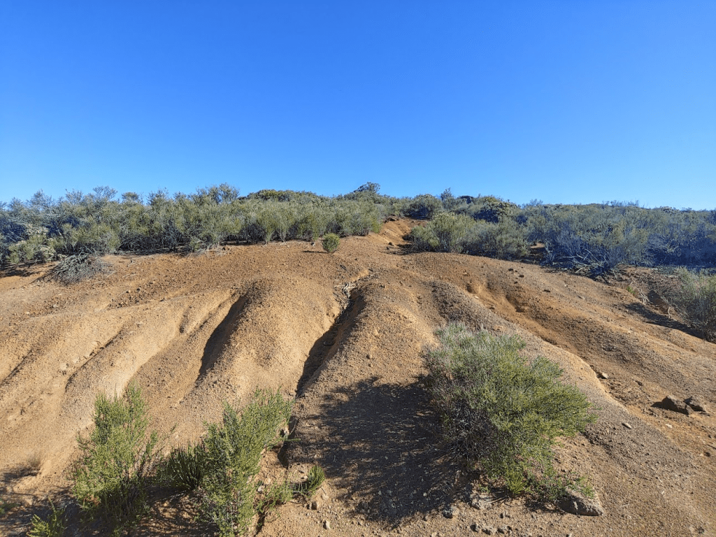
It would be a 500 foot climb in about 0.6 mile. The bottom third of this part was extremely brushy. My progress was slow and painful.
I went over a barbed wire fence that seemed to indicate I was back on National Forest land.
From the fence, the brush was only knee high in most places, so I was able to go much faster.
At 7.32 miles I reached the summit! It was 8:46am
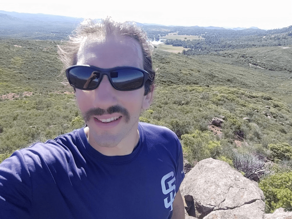
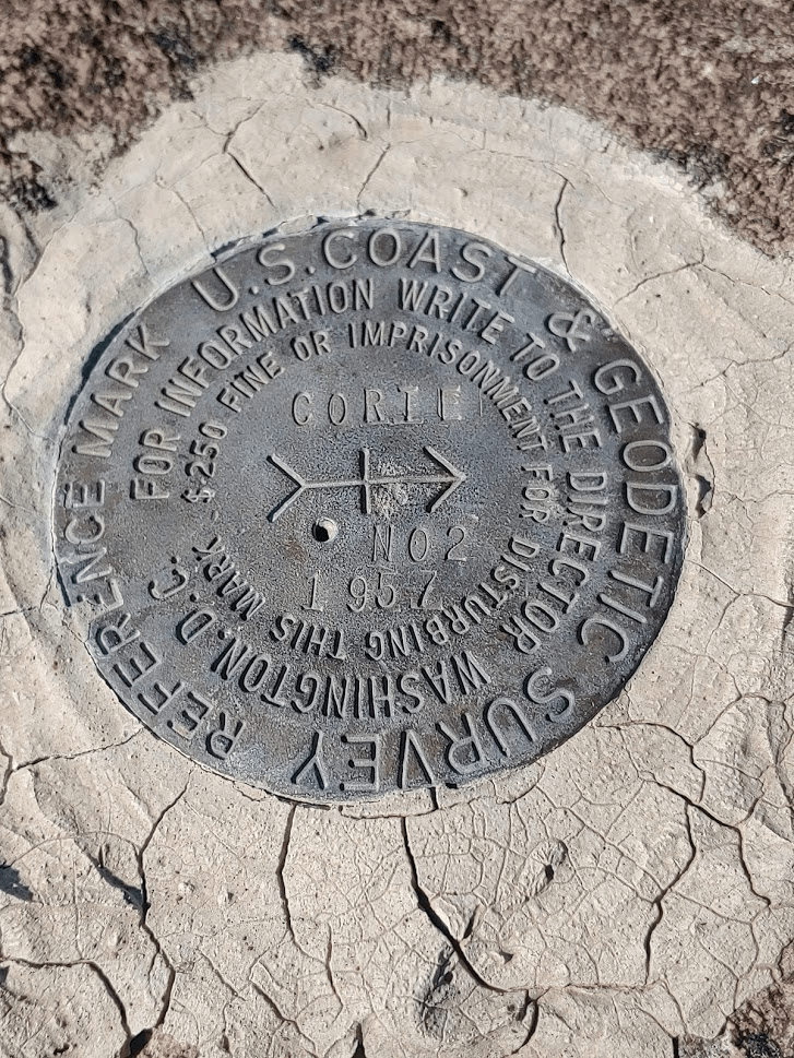
I climbed up onto the highest rock where I found the register, which was just a few pieces of paper stapled together. It had been placed in 2009 and contained signatures from only 6 separate parties since then. This peak was not climbed often. Interestingly, the register refers to this peak as “Corte Point.”

I found the “Corte” Benchmark as well as 2 reference markers.


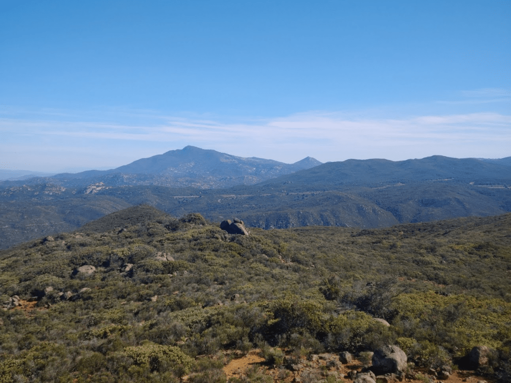
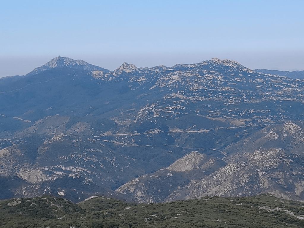
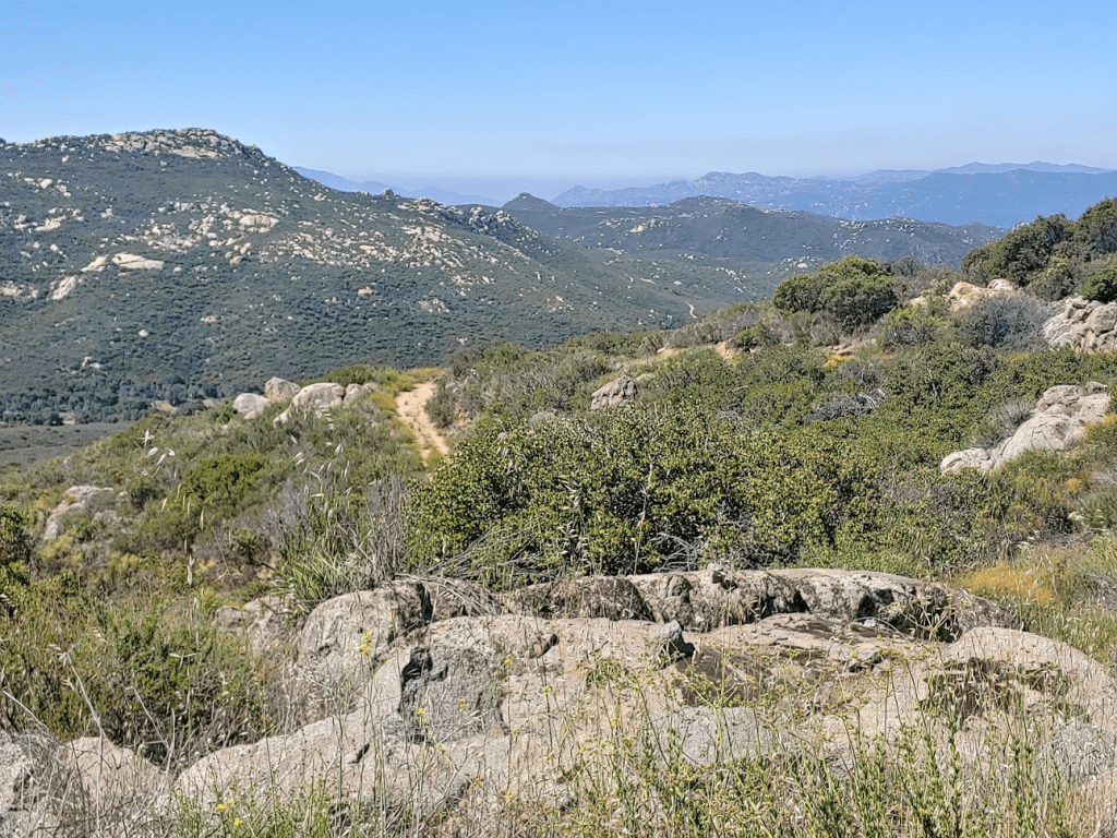
It was a very clear day for this time of year, so the views were superb. I recognized many nearby peaks, including Cuyamaca and Stonewall to the north:
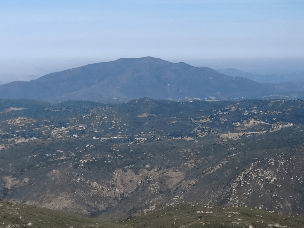
Viejas to the northwest:
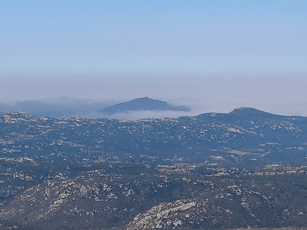
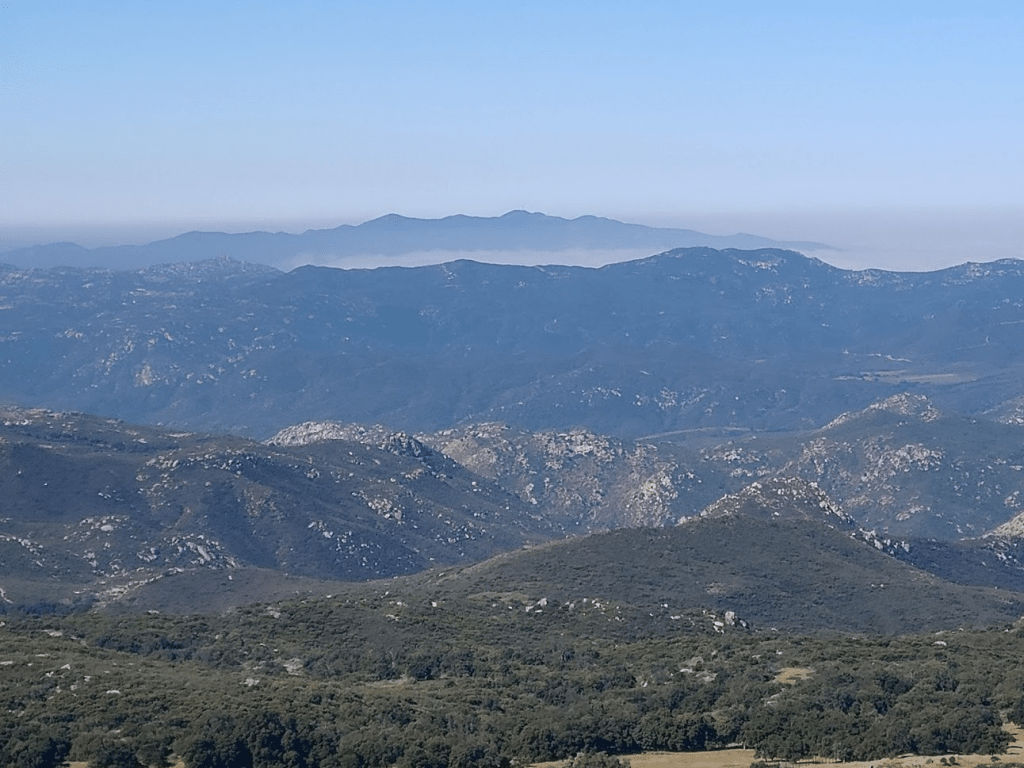
Sycuan Peak far to the west in a sea of clouds:
Lyons, Lawson, and Gaskill:
Otay Mountain, where I had just been the previous day, to the southwest:
Tecate Peak to the south:

Corte Madera Mountain, just 200 feet higher, was very close to the south:

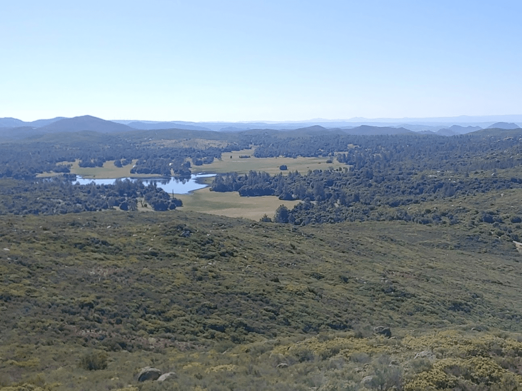
Another notable sight was Corte Madera Lake to the east.
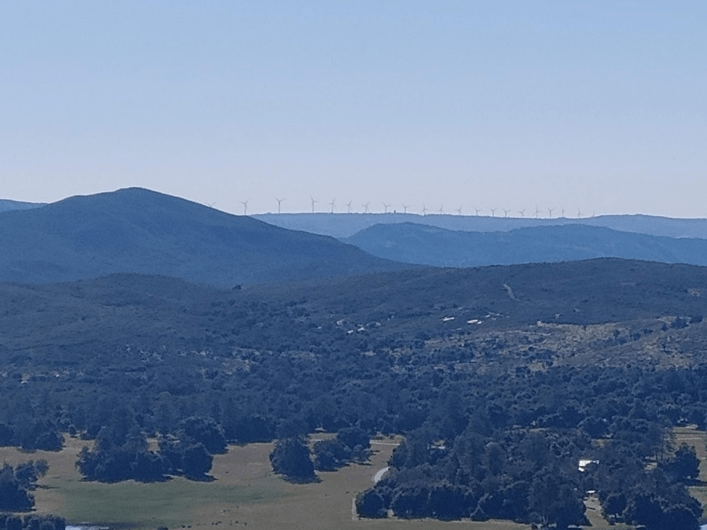
Further east were the windmills of McCain Valley:
I spent about 35 minutes on the summit soaking up the sun and the views. I started descending south back to the road.

After reaching the road, I passed the ranch again, this time on my left. I hustled on this portion, as I was still a little uneasy about being seen. I did notice a truck driving the other way in the distance, but they either didn’t see me or didn’t care.
I went back to my normal pace after getting out of sight of the ranch. I noticed a few large birds here and there, possibly red-tail hawks. I climbed back over the downed trees and went around the locked gate once more.
I soon reached the Espinosa Trail once more. Just under 4 miles to go!
I enjoyed the descent down into Pine Valley again. Near the creek, I passed a young couple hiking the other way.
Once I got to the creek, I was surprised to see a full blown party going on. There were about 20 people of all ages there hanging out in their swimsuits. There were a few dogs and even 4 horses. Everyone seemed to be having fun enjoying the water on a hot day, including the horses. I said hello as I crossed the creek and continued on my way. I ran into 3-4 more groups of hikers over the final 2 miles, including a guy in a University of Wisconsin shirt (Go Badgers). Once I arrived back at the trailhead, I was somewhat surprised to see about 20-25 cars parked on the side of the road. I guess the Forest Service isn’t enforcing the closure at all. I didn’t see any horse trailers though, so I wondered how they got the horses there. I got back to the car at 12:13pm. I enjoyed the hike more than I thought I would – the Pine Creek Wilderness is very beautiful. This hike totaled 14.82 miles, 2999 feet elevation gain (so close), and 6:03:51 total time.