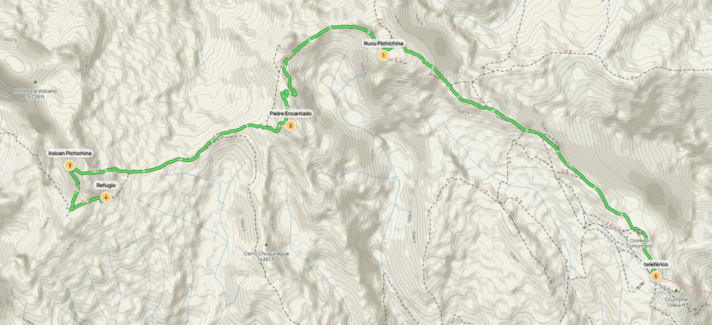
Pichincha is a 15696 foot volcano in Ecuador and one of 12 ultras in the country. The capital city of Quito is built on its eastern slopes. It has 2 main summits – 15696 foot Guagua Pichincha and 15354 Ruco Pichincha. Guagua means baby and Ruco means old; these terms refer to the age of the 2 summits. Pichincha was up first on our itinerary of acclimatization hikes in preparation for attempts on Cayambe and Chimborazo. This would be a point to point hike rather than the usual out-and-back or loop. Our plan was to drive to the refugio at nearly 15000 feet, climb Guagua Pichincha, then climb Ruco Pichincha, then descend to the teleférico (cable car) at 13000 feet. We woke up early and made the long trip to the refugio, which required driving on some very rough dirt roads. We eventually reached the refugio and started hiking at 6:10am from 14930 feet above sea level.

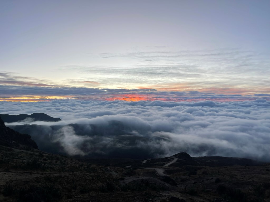
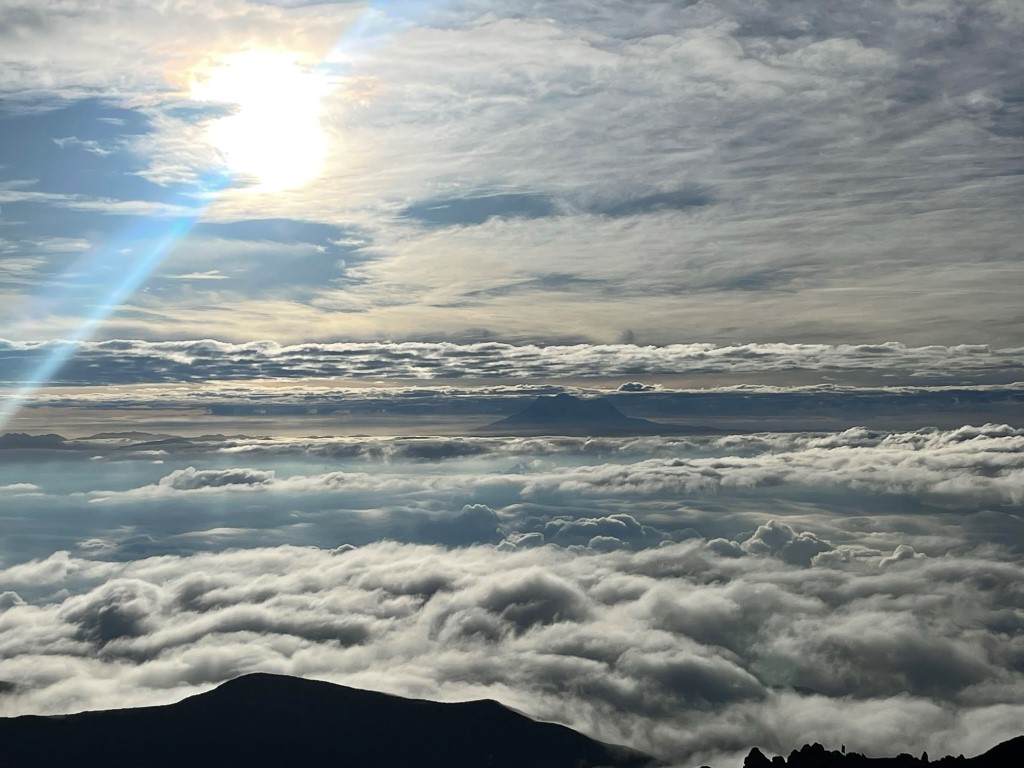
We were already above the clouds.
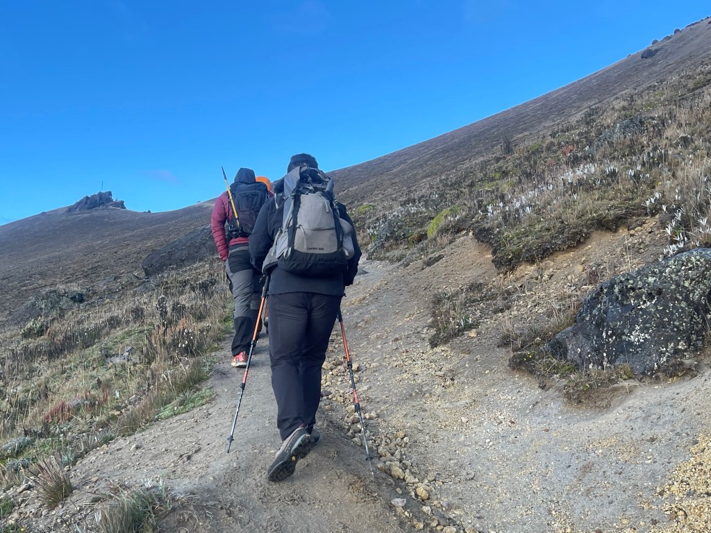
We hiked west up the trail.
We then made a sharp turn to the north.
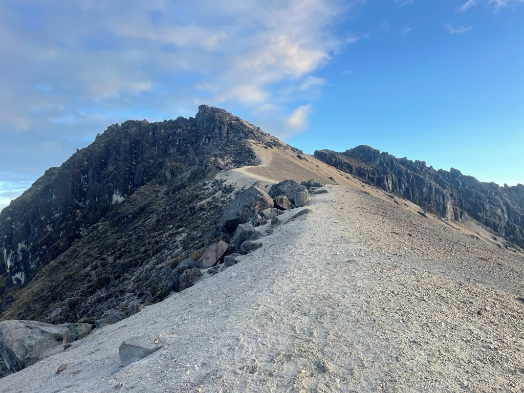
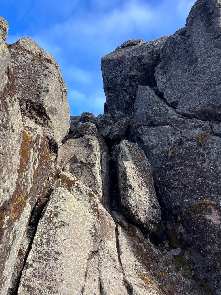
We had to scramble over some rock near the summit.
This included a short class 3 chimney.
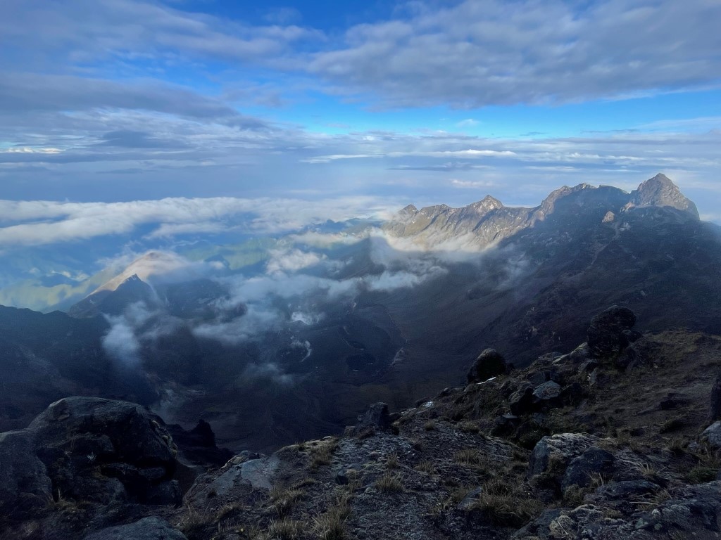
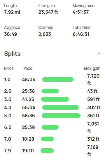
We reached the summit at 6:48am at 0.8 mile! It was strange being over 1000 feet higher than my previous high point (Mount Whitney), yet this summit was so easy to reach. I was annoyed with how high we were able to start, but it was difficult to still be upset when surrounded by such grand views. Cayambe (Ecuador’s 3rd highest volcano) to the northeast:
Antisana (Ecuador’s 4th highest volcano) to the east:
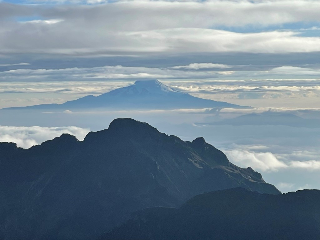
Cotopaxi (Ecuador’s 2nd highest volcano) to the southeast:

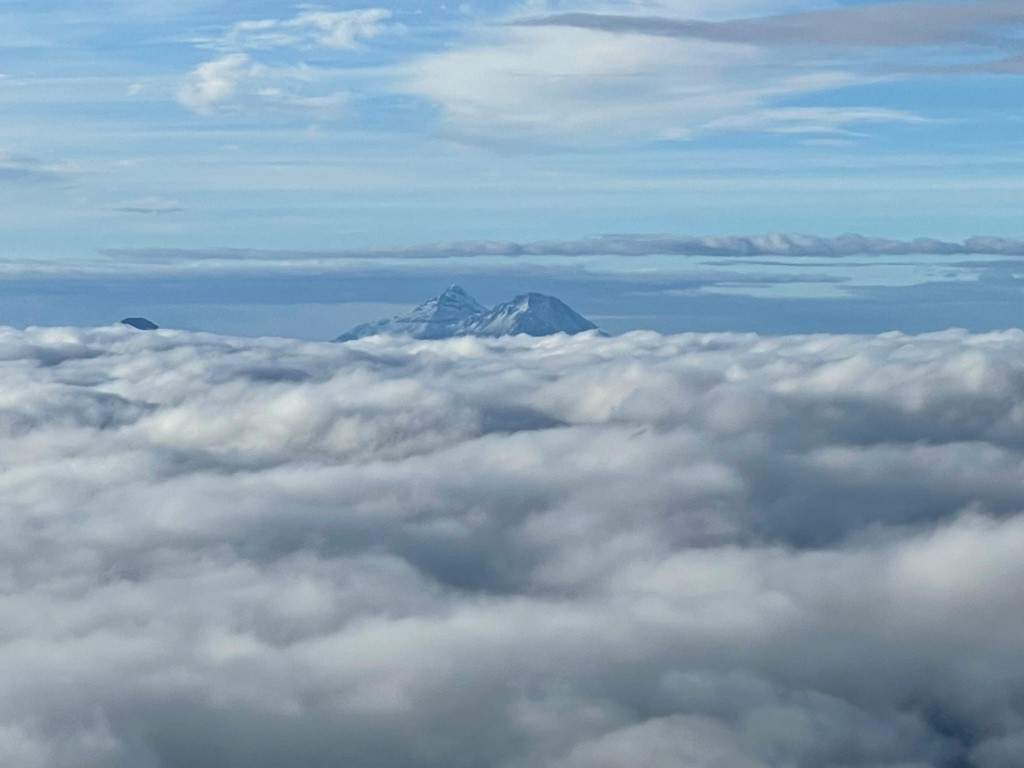
Los Ilinizas (Ecuador’s 6th highest volcano) to the south:
Pichincha’s large caldera to the west:
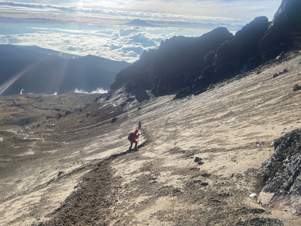
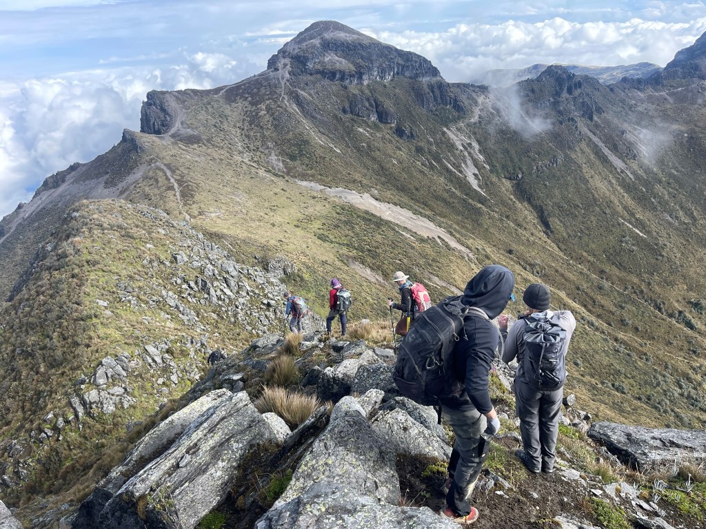
We spent some time enjoying the magnificent view before descending. We climbed down the class 3 rock and then descended a sandy slope to the west.
We hiked west on the trail, and then decided to make a detour to climb a minor 14829 foot peak called Padre Encantado.
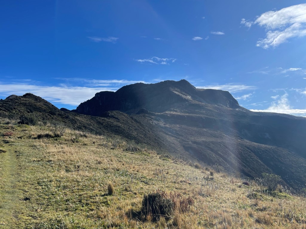
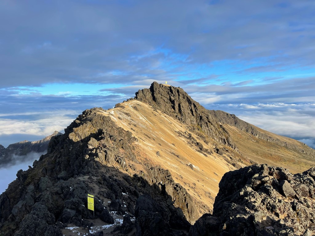
We climbed Padre Encantado via a small spur trail to the east and then north. It was about 300 feet above the main trail. We reached the top at 8:27am at 2.8 miles. We had an excellent view of our next objective, Ruco Pichincha.
Our guide chose to descend directly north to get back to the trail rather than backtrack southwest the way we came up.
This was a mistake as there was no easy way to reach the trail from this side of Padre Encantado. We ended up having to descend a steep slope which was very wet and slippery. We carefully bushwacked our way through the hillside and eventually reached the trail again.
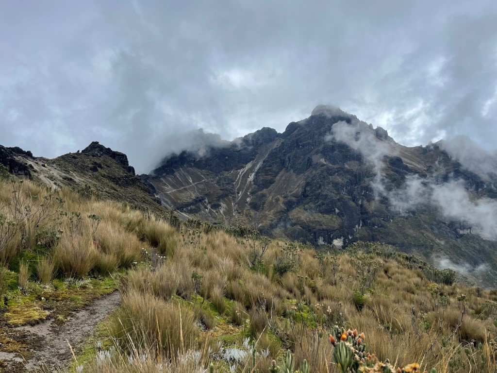
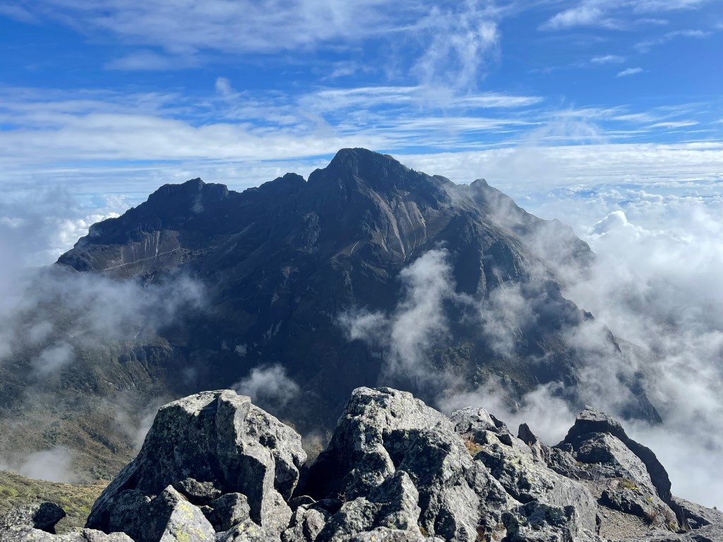
From there we climbed east to Ruco Pichincha. The trail was wet and became quite steep as we neared the top.
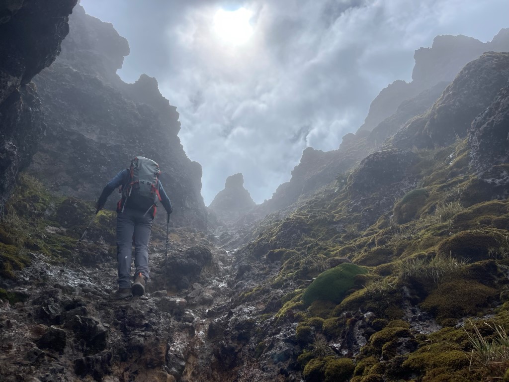
There was some low class 3 scrambling required near the summit. We reached the top at 11:03am at 7.9 miles!

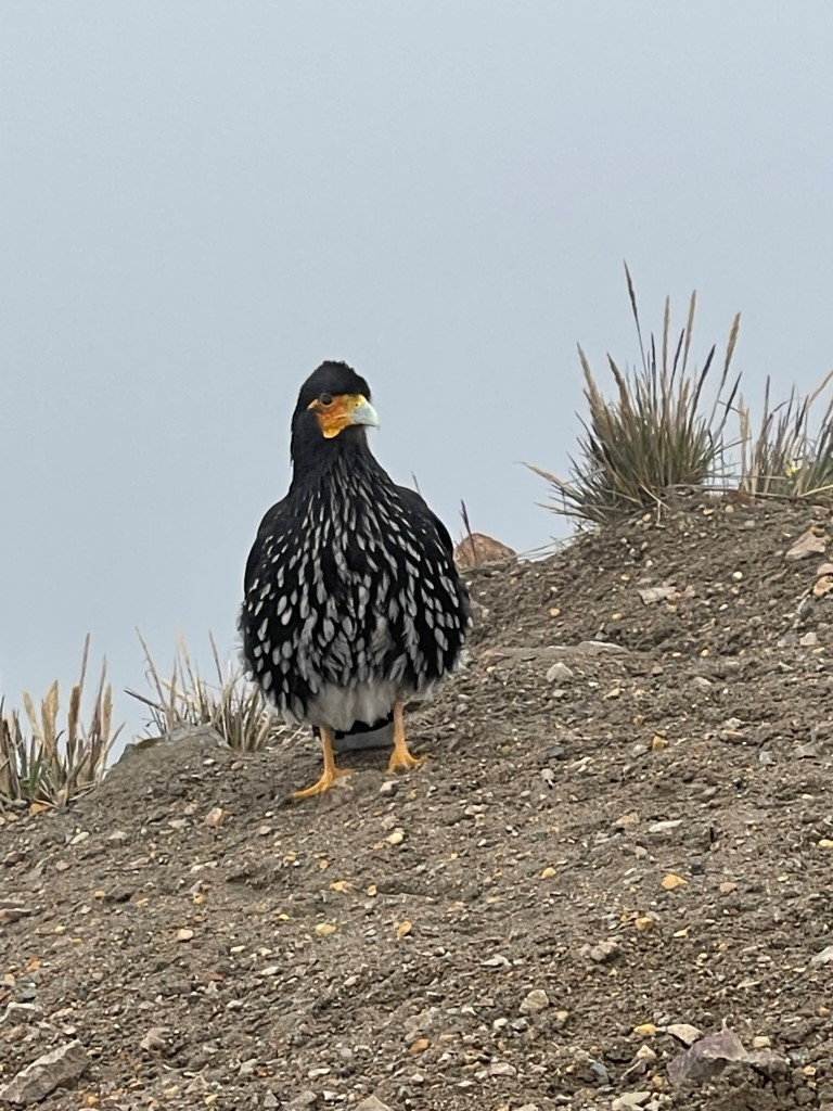
It had clouded up considerably so there were no views. We were joined on the summit by a few large birds.
From there we descended southeast towards the teleférico. Hiking to Ruco Pichincha from the teleférico is very popular so this part of the trail was crowded. It seemed to be a mix of locals and tourists.

It was a little bit more than 3 miles to get down. Thankfully the rain held off, so we stayed dry. We reached the teleférico at 12:57pm. Stats for this hike were 7.92 miles, 2962 feet elevation gain, and 6:46:31 total time. Note that the elevation gain below is obviously wrong, so I pulled the number from another application.
We paid for our teleférico tickets and enjoyed the ride back down to Quito.
