Day 1
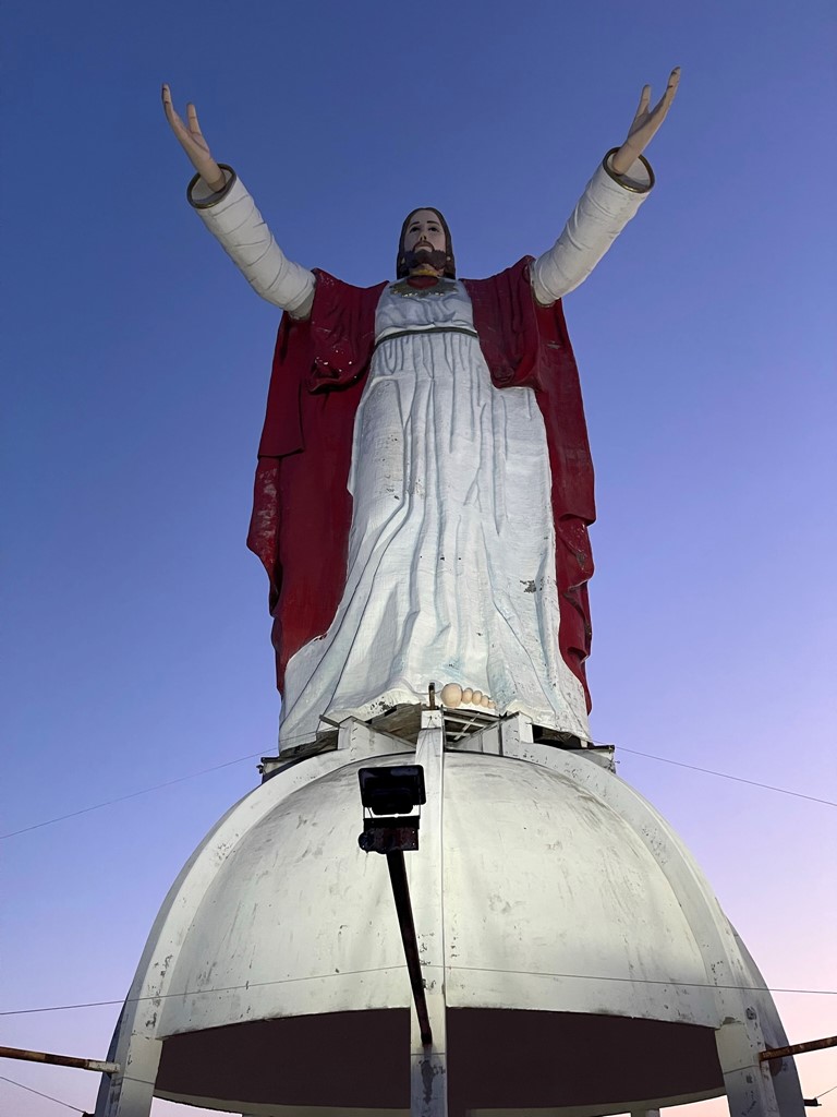
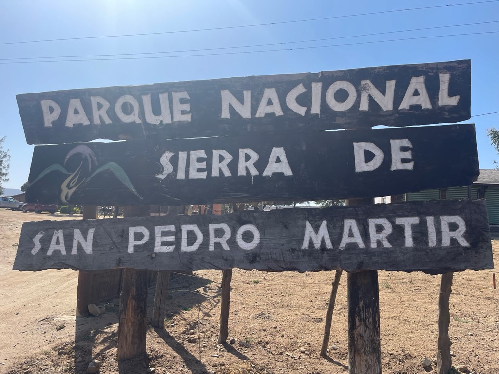
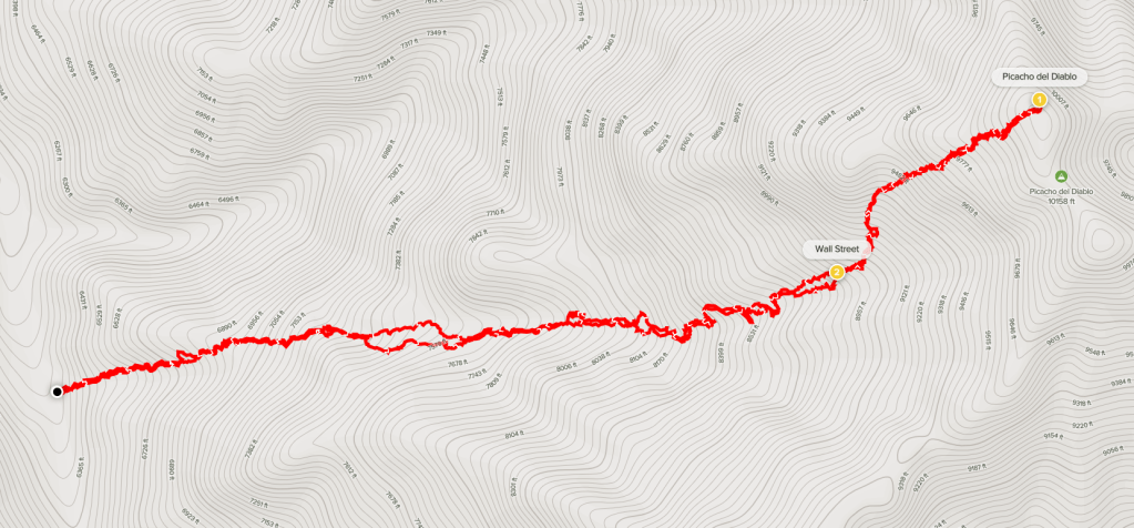
Picacho del Diablo (Devil’s Peak) is a 10154 foot peak located in Baja California, Mexico. It is located within Parque Nacional Sierra de San Pedro Mártir and is the highest peak on the Baja Peninsula. It is also one of only 3 Mexican peaks included in the Sierra Club Desert Peaks section list and is one of the most difficult. A group of 11 of us (including 2 guides) planned to climb it via the standard western route over 3 days. Our plan was to drive to the trailhead and hike to Campo Noche on day 1, climb the summit and return to camp on day 2, and hike out and drive home on day 3. 8 of us met at the border in San Ysidro at 4:30am Friday morning. We had no issue crossing into Tijuana where the uncle of one of the guides picked us up in a 15 seater van. We picked up our 9th member in Tijuana and then drove to the home of one of one the guides, Sofia, somewhere south of Rosarito. We stopped and took some pictures of a massive statue of Jesus.
After picking up Sofia and dropping off her uncle, we drove to Ensanada and picked up the other guide, Arturo. We then drove another 2 hours south on Highway 1, making a few more stops for gas and snacks along the way. We reached the turnoff for the national park and turned east towards the Baja interior.
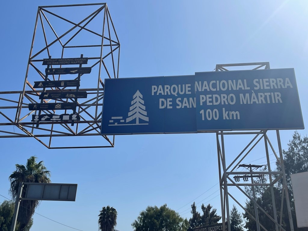

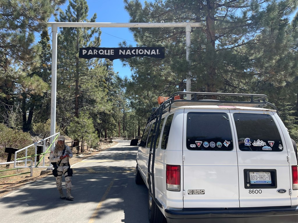
We drove through a few small villages but soon after leaving the highway we were in the middle of nowhere. The paved road winded its way towards the mountains while gradually gaining elevation. We reached the park entrance after another hour or so where an armed guard was stationed. We checked in and then continued.
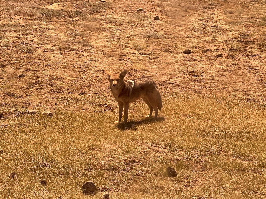
We drove east into the park, now surrounded by a scenic pine forest. We stopped briefly to say hi to a coyote. The coyote must be accustomed to getting fed by humans because he followed the van for a little bit.
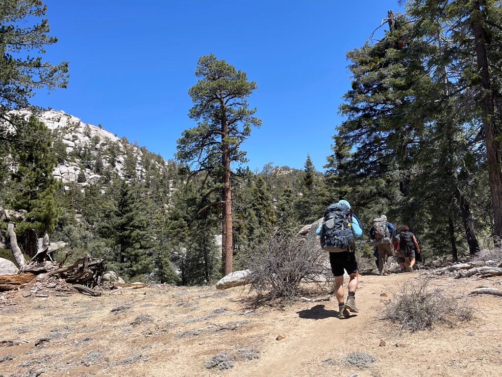
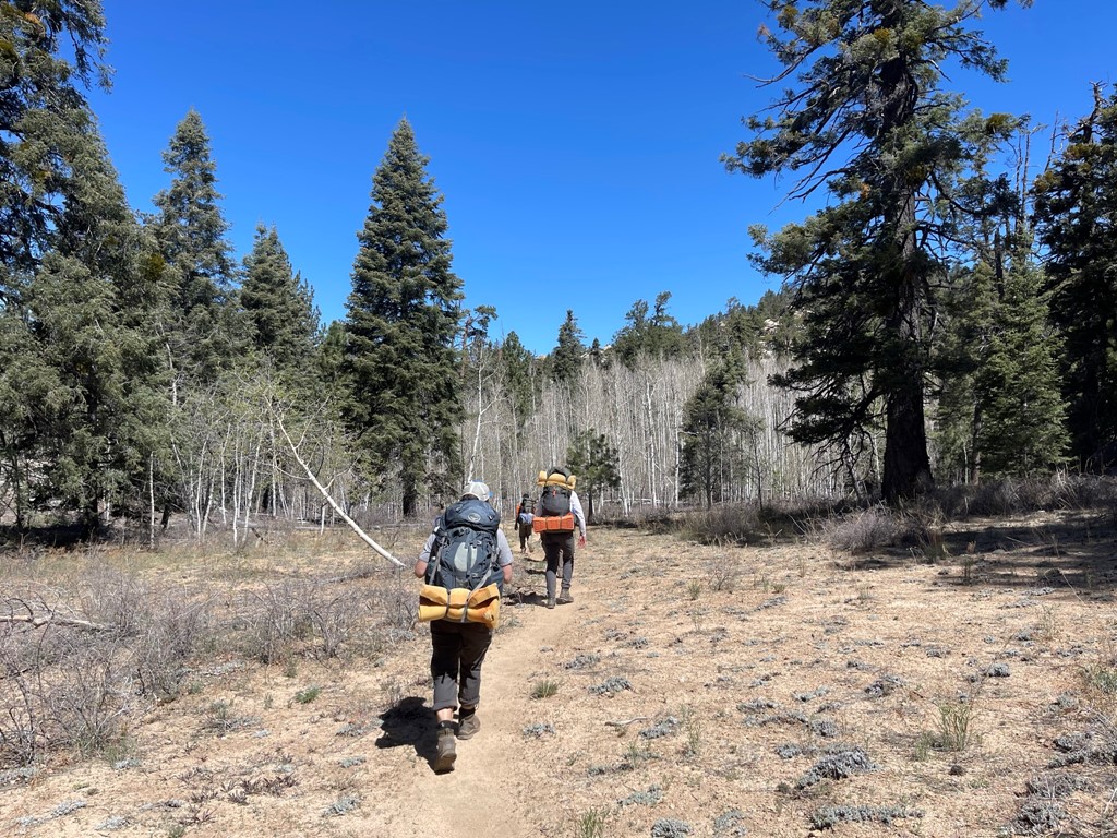
It took about 30 minutes to reach the trailhead from the park entrance. The last 4 miles were rough dirt but a vehicle with decent clearance should be able to handle it okay (4wd not needed). We parked and then spent some time loading up our packs and getting ready. The 11 of us set off at 12:32pm from 8000 feet above sea level.

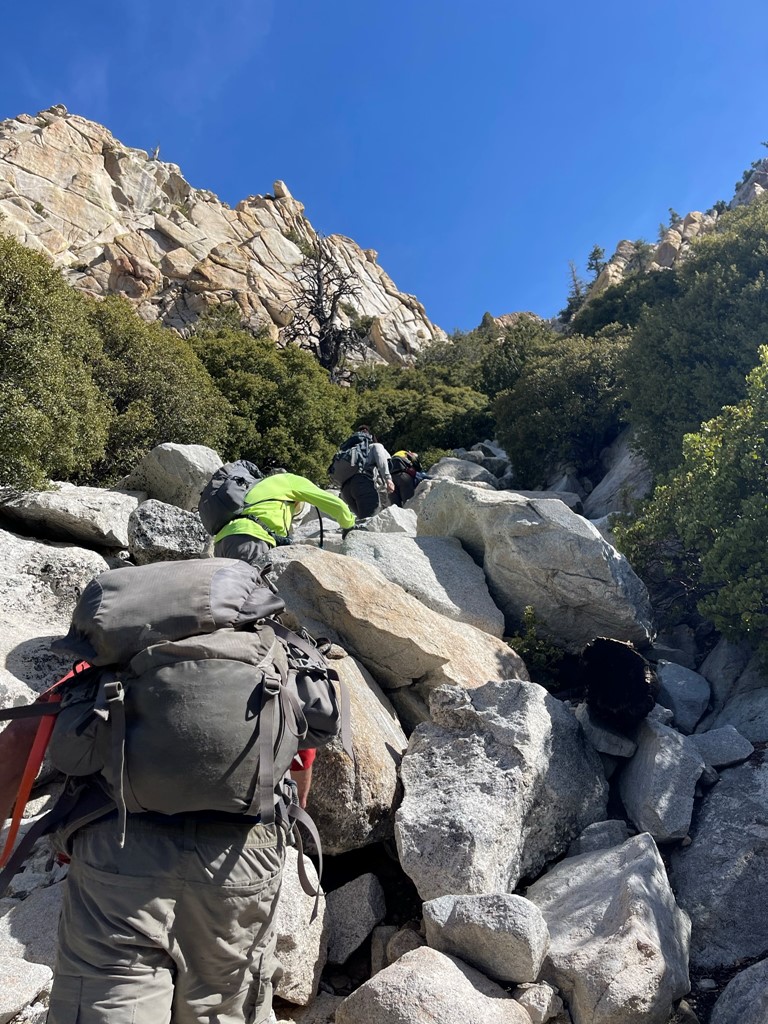
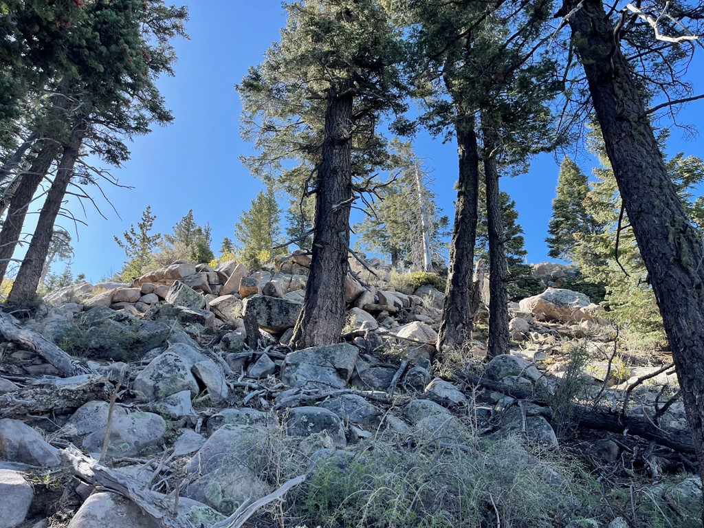
The plan for day 1 was to hike to Campo Noche. This would involve a gentle 5 mile hike through a forested plateau, and then a steep 3000 foot descent to the camp. We hiked southeast along a decent trail.
The trail crossed a sandy wash a couple times at the beginning.

It was a beautiful warm sunny day. The dryness of the area reminded us of the Southern Sierra.
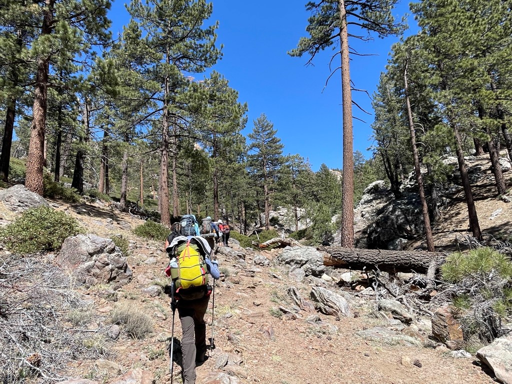
After a few miles, the route became steeper and rockier.
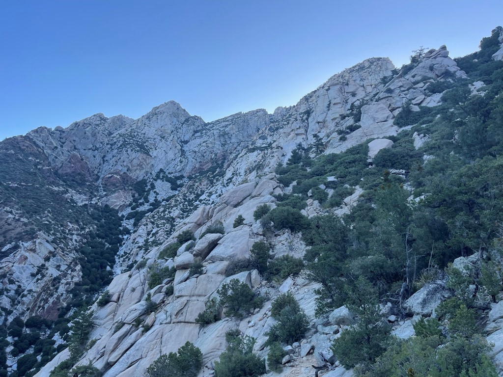
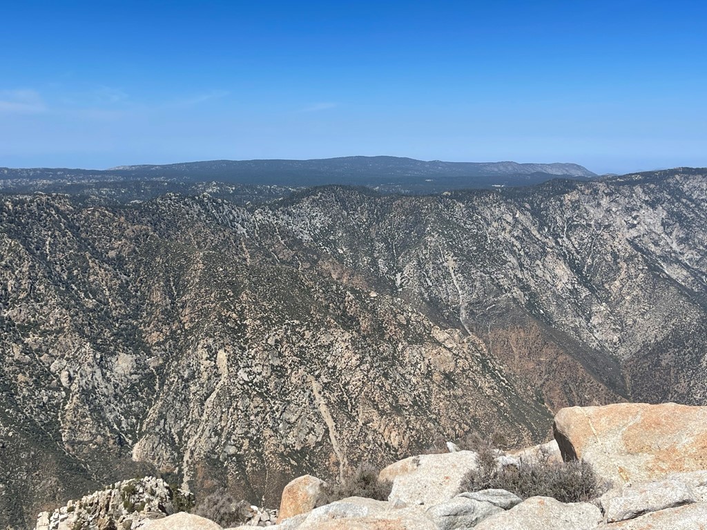
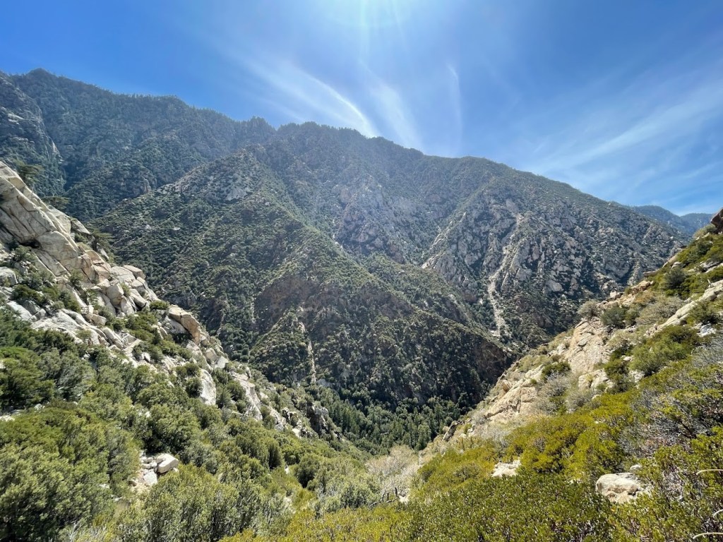
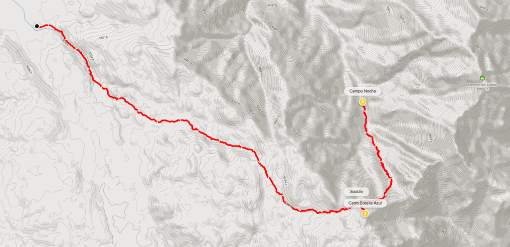
At 4.7 miles we reached Botella Azul (Blue Bottle Saddle). We were at 9300 feet so had gained about 1300 feet so far. We got our first good look at Picacho del Diablo.
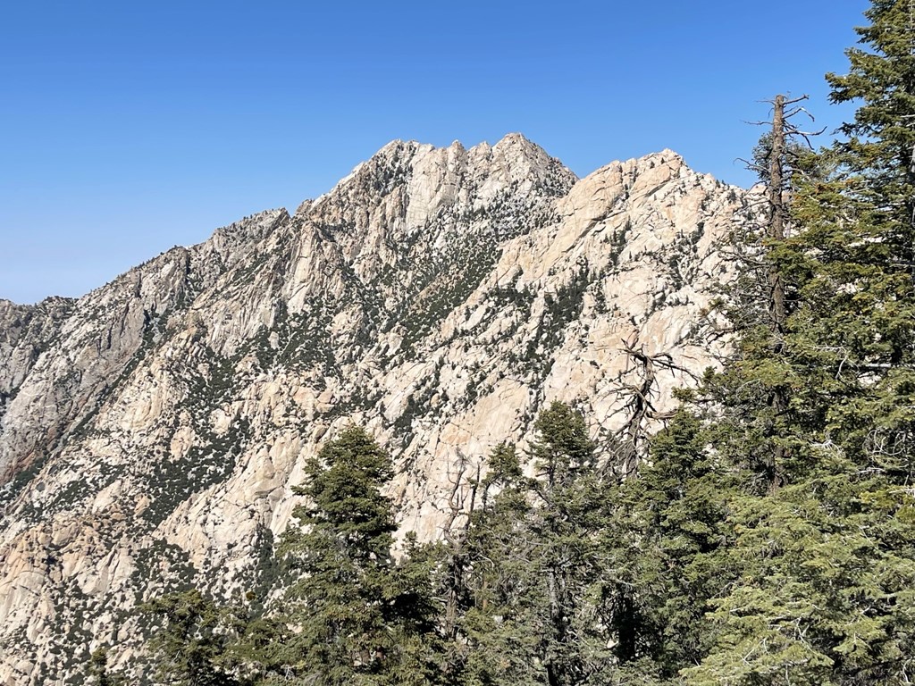
The zoomed out view below shows the massive canyon between Picacho del Diablo and the plateau we were on. There is a high ridge that connects the peak and plateau, but it apparently involves multiple pitches of class 5 rock. To avoid the technical terrain, we needed to descend 3000 feet to camp and then ascend 4000 feet to the peak tomorrow.
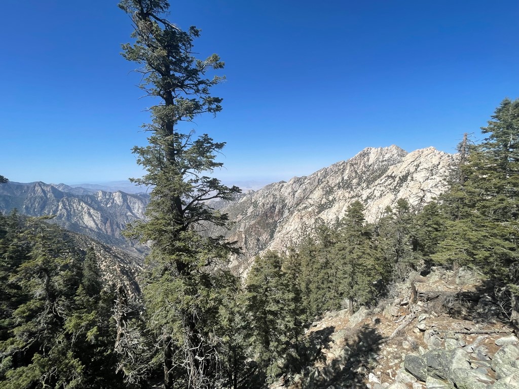
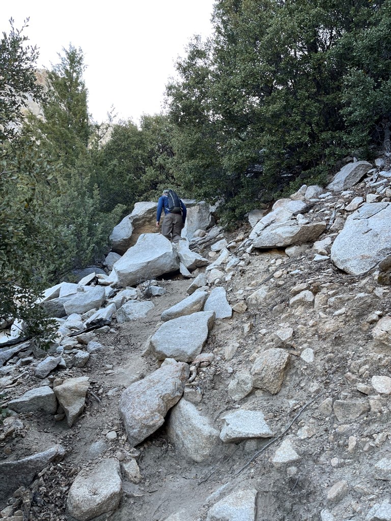
We proceeded east past the saddle on a decent use trail. Apparently, the use trail is a recent creation due to the increased popularity of the peak in the last few years.
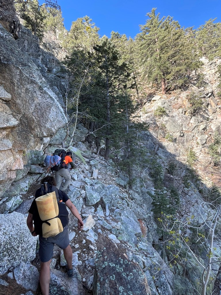
The steep trail was tough with heavy packs on, but the footing was solid so we made decent progress.

We took a rest break at a nice viewpoint of Cañon del Diablo. It is possible to descend the canyon all the way to the desert floor on the east side of the mountain range. One of our group members, Jose, had descended that route a few years ago and then shuttled back to the western trailhead.

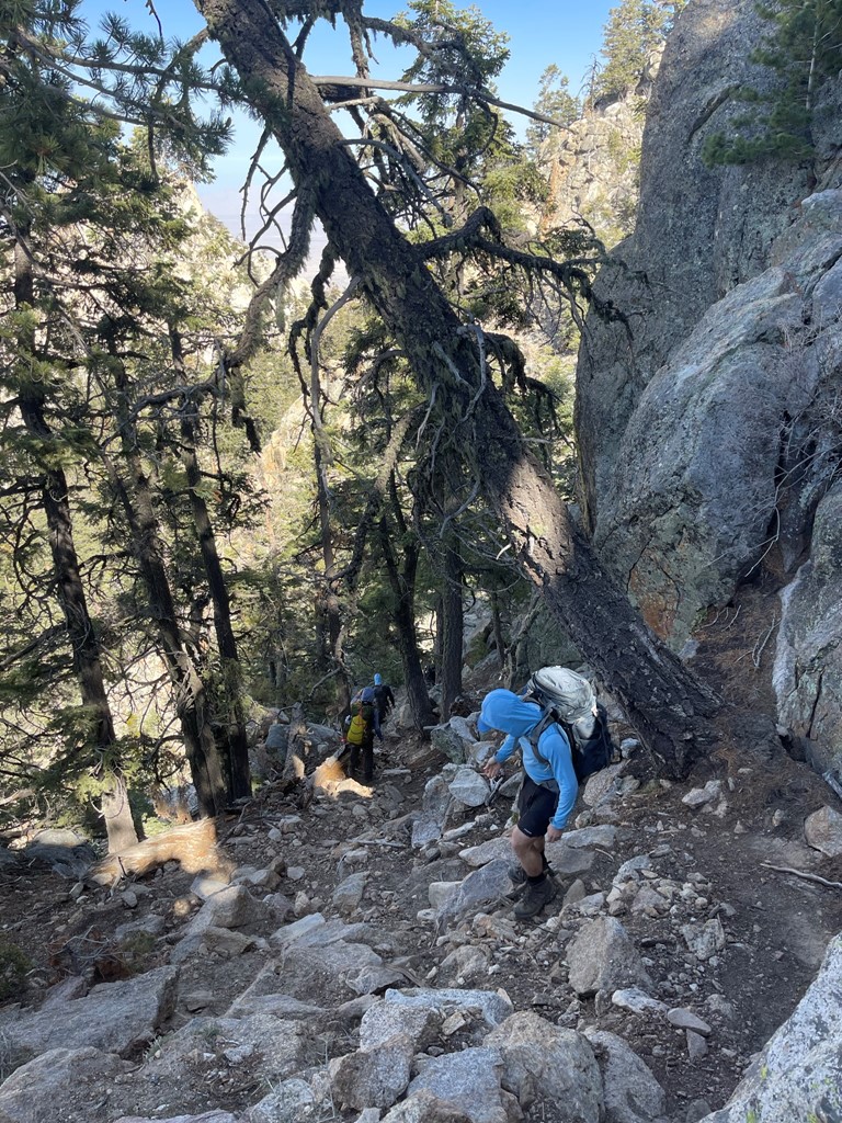
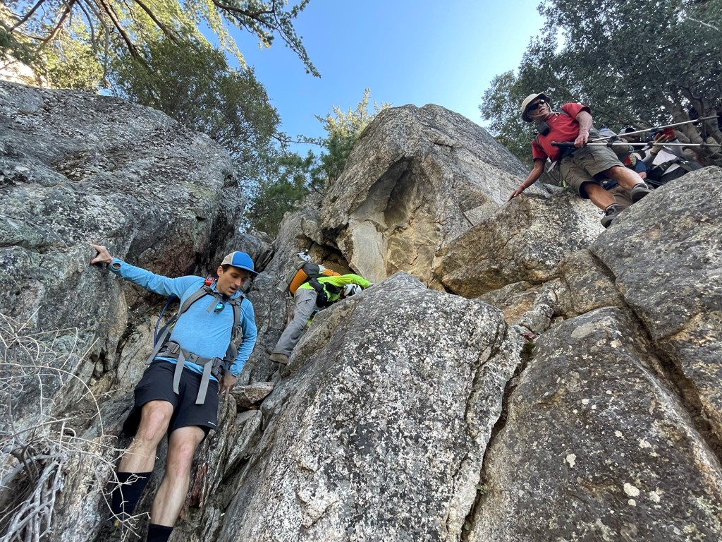
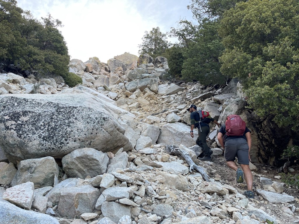
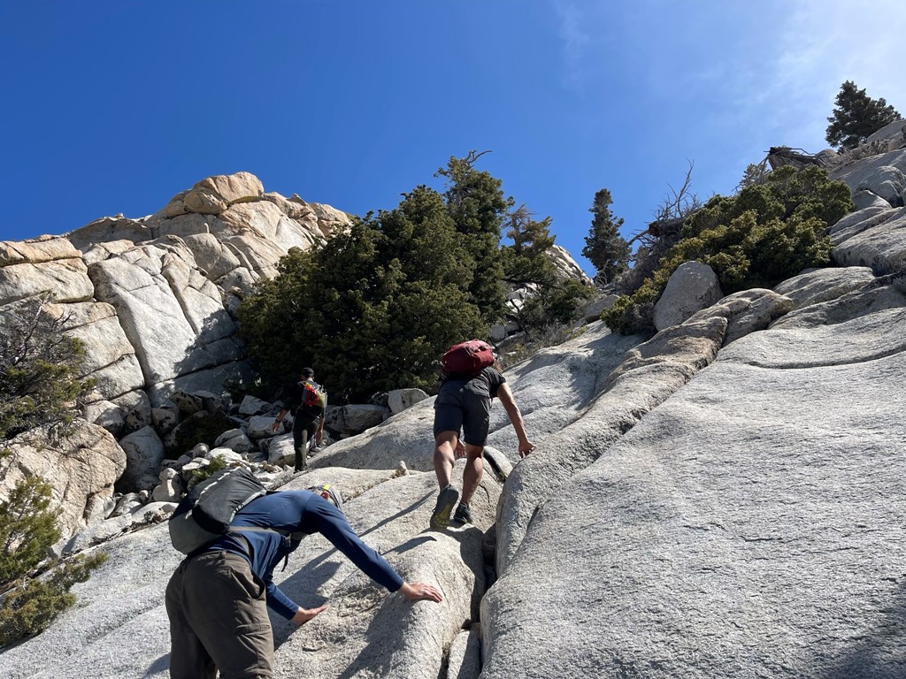
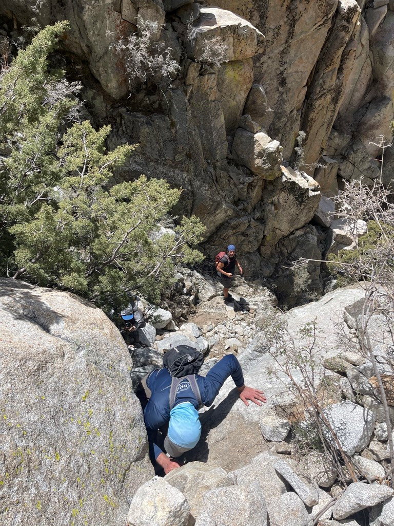
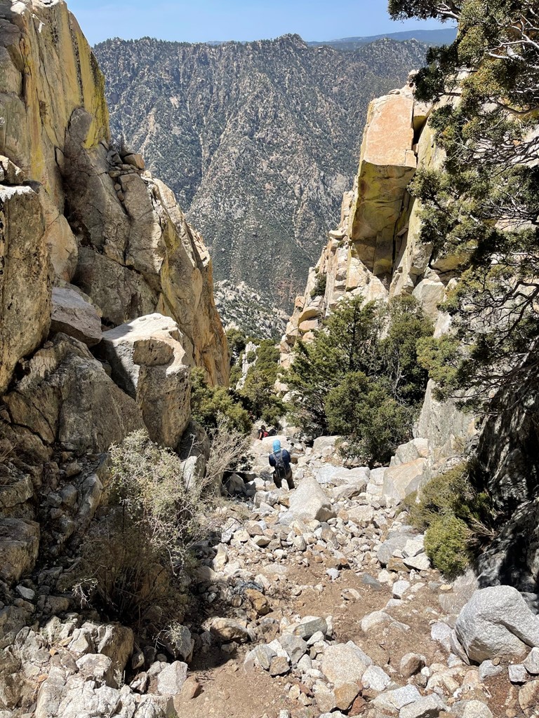
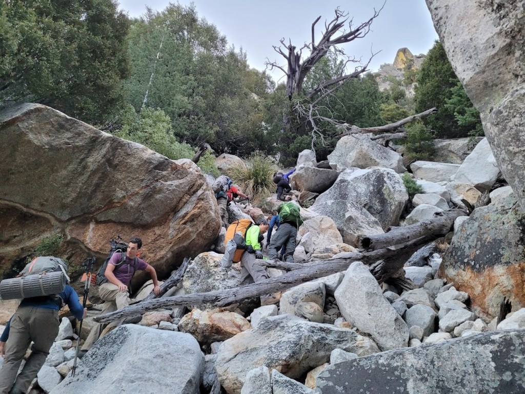
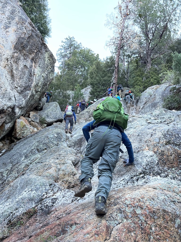
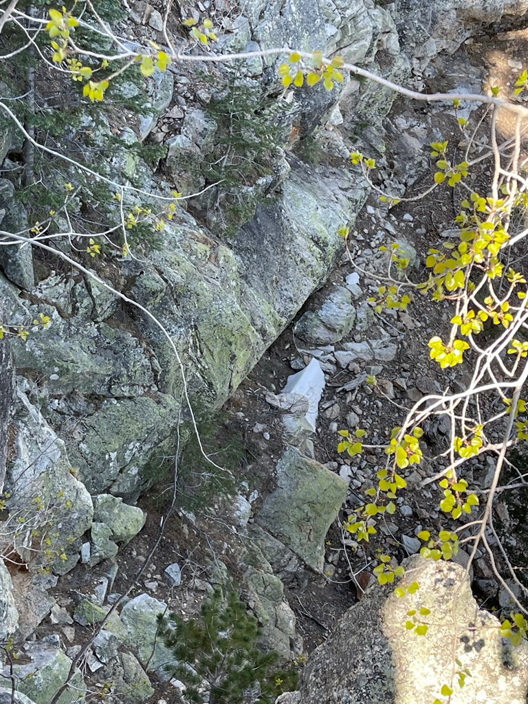
About halfway down, the terrain shifted. The use trail was pretty much gone, and we had to scramble down many large boulders.
There was one class 3 move that we had to downclimb. It involved a short traverse across a boulder with good handholds and footholds. We considered this the crux of day 1.
The terrain began to flatten out as we neared the camp.
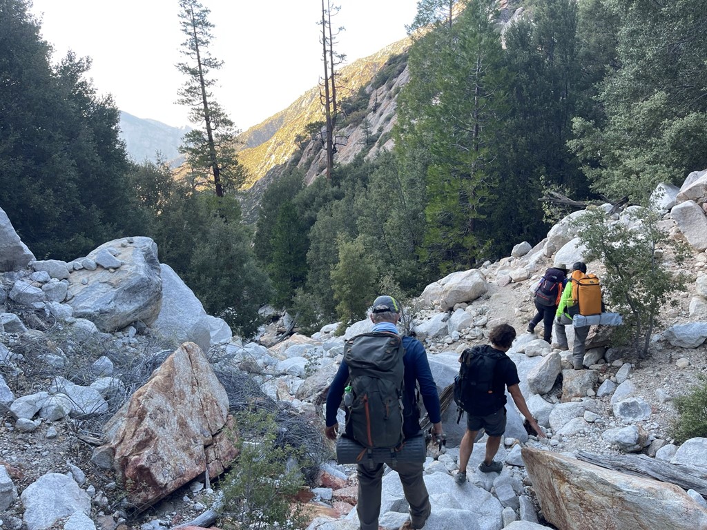
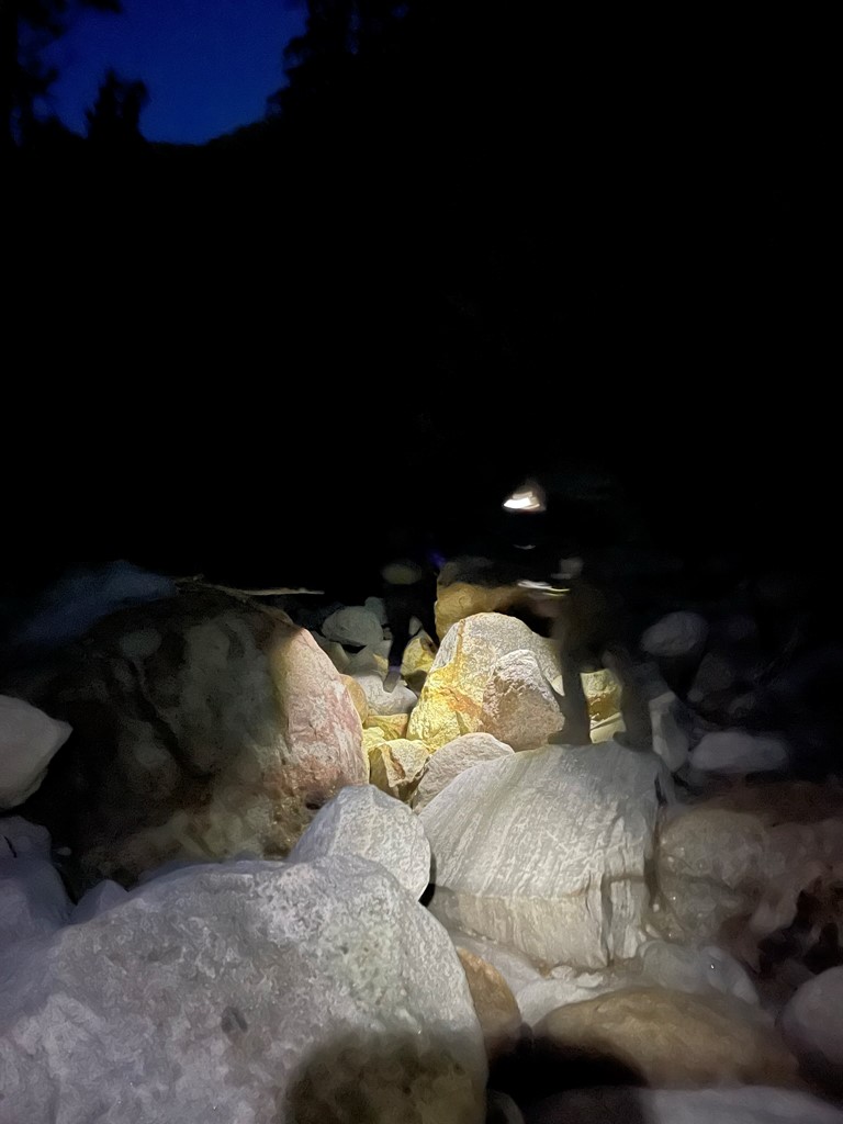
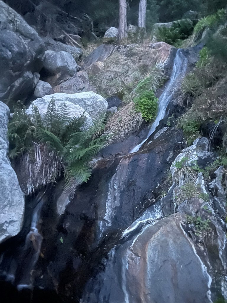
We soon reached the creek where we found a small waterfall.

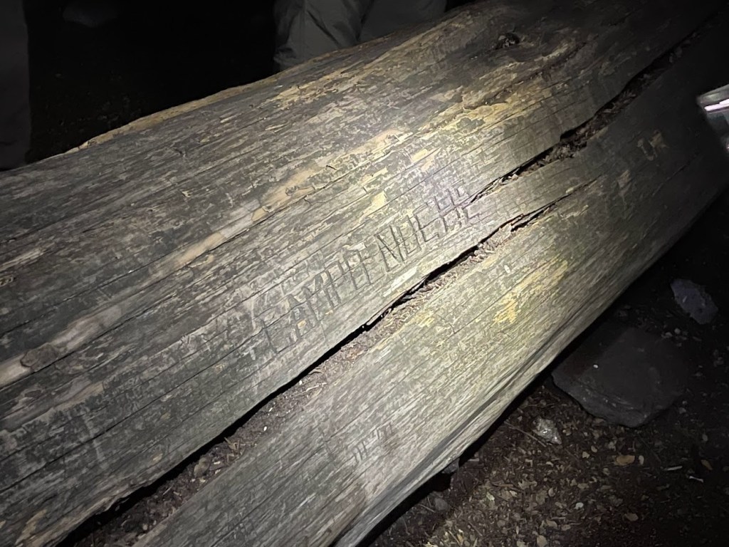
We reached Campo Noche a short while later at 6:39pm. The camp has reliable water and is located at about 6300 feet. There was already a large group occupying the main area, so we set up our tents slightly uphill and to the east. We all had our dinners and then went to sleep early.

Stats for day 1 were 6.95 miles, 1572 feet elevation gain, and 6:05:42 total time.


Day 2
We woke up at 5am on summit day. We quickly had breakfast and got ready. We were anticipating a long day as it would be a 4000 foot ascent over just 2 miles to reach the top. One of our group wasn’t feeling well so decided to remain at camp for the day. The rest of us began hiking at 6:13am from 6275 feet above sea level.
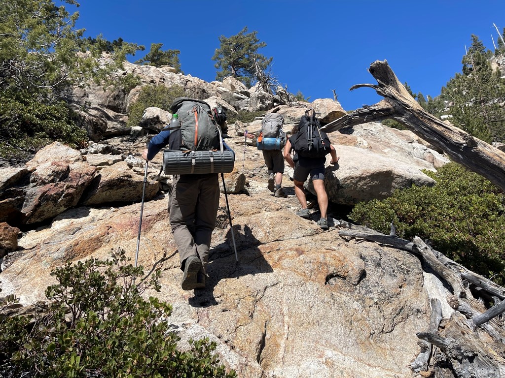
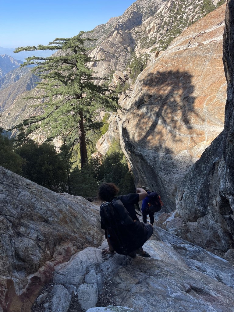
The route would be a solid class 2-3 scramble the whole way up. Our guides took turns leading us. Sofia had summited the peak over 100 times, so she knew the route like the back of her hand.

We spotted an interesting finger-like rock formation.
The route looked intimidating from below.
There was a vague use trail at times on the lower part of the route.
It was a bit chilly in the morning which felt nice. Since we were ascending the western side of the peak, we were in the shade for most of the morning.
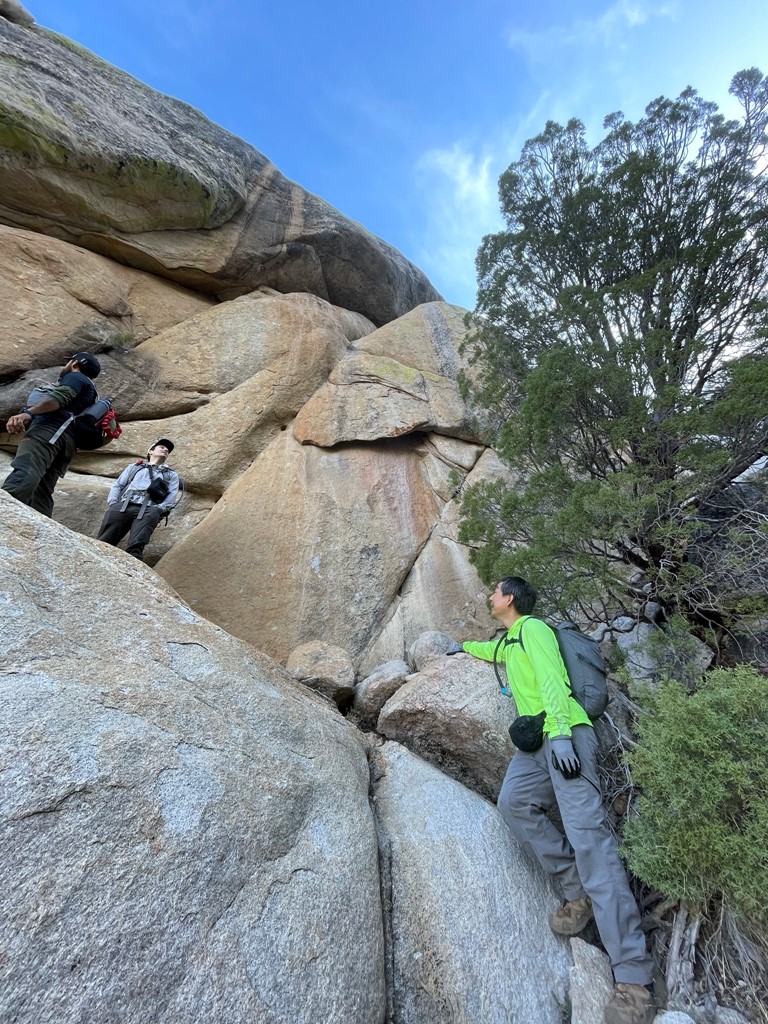
We took our time scrambling up the really steep sections. Rockfall was a concern with such a large group, but thankfully we didn’t have any serious incidents.
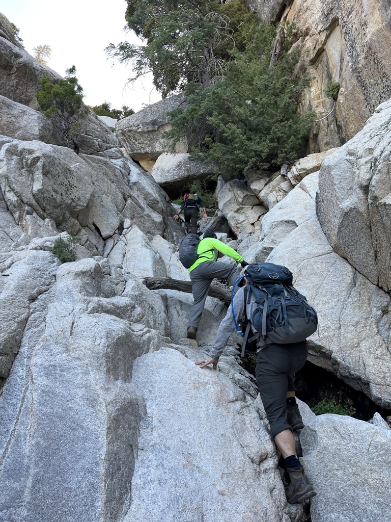
Our group was fairly strong, so we made good time on the ascent. We had the entire day though, so we were in no rush.
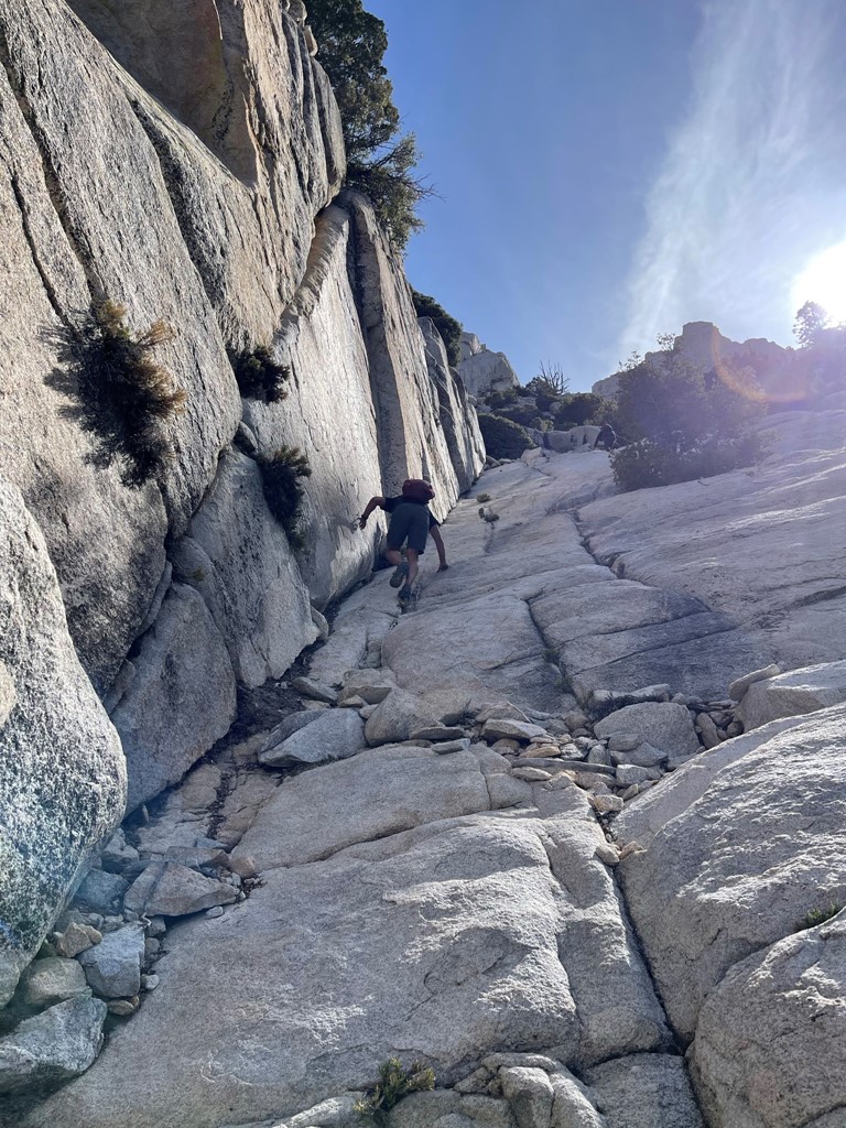
At 8900 feet we reached a steep series of slabs known as Wall Street. This is the most infamous section of the route as was likely the crux of day 2. The picture below makes it look steeper than it actually was.
Almost at the top of Wall Street:
The scrambling continued once we were above Wall Street.
We maintained a good pace as we neared the top.
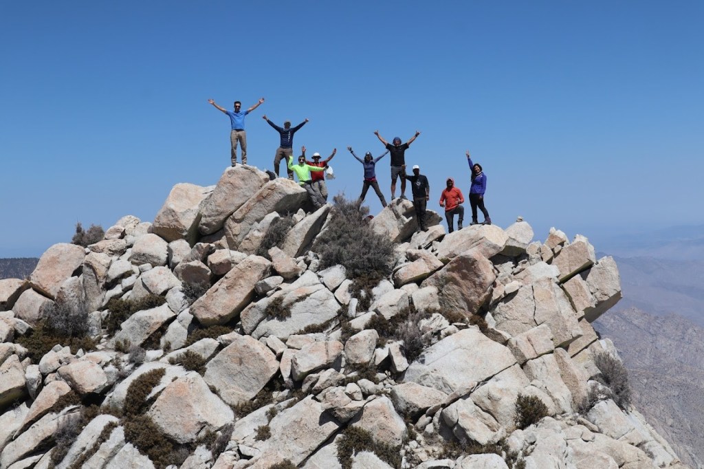
Just below the summit we passed a large group of 15 hikers just beginning to make their way down off the summit. They were a very slow group and had started around midnight (Which woke us all up). Apparently, they had hiked to Campo Noche on Thursday, took a rest day Friday, and then started their summit push very early on Saturday morning. We got around them and then scrambled up the summit block to the top. We reached the summit at 10:30am at 2.1 miles! Marcus, myself, and Jose on the summit:

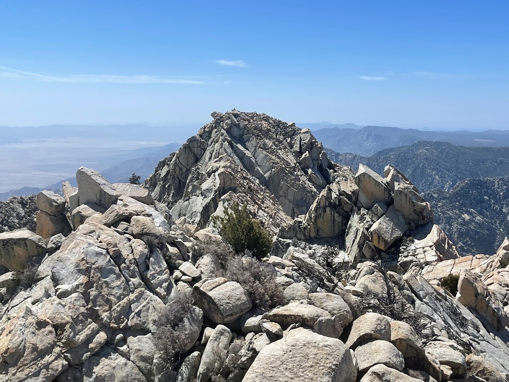
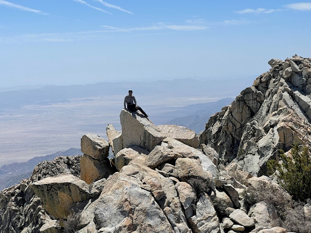
We took turns signing the register and then spent some time enjoying the views. The south summit (pico sur), just 16 feet lower, was less than a ¼ mile away. The south summit apparently is a class 5 climb.
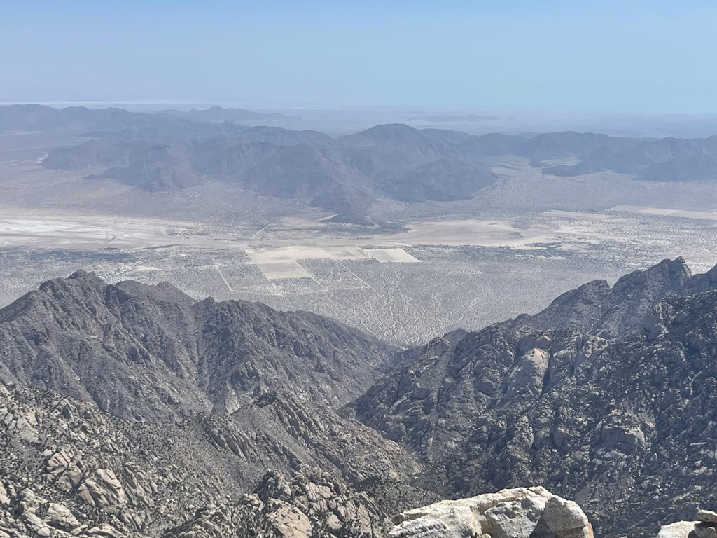
To the east we could see nearly 10000 feet down into the desert below. We could barely make out the Sea of Cortez through the haze in the distance.
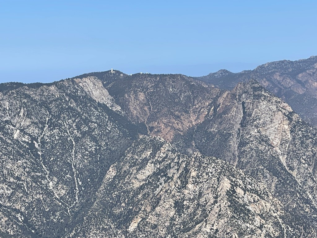
To the northwest we could see the Observatorio San Pedro Mártir, one of the most important observatories in the northern hemisphere.
To the west we could see the forested highlands of Parque Nacional Sierra de San Pedro Mártir. On a clear day you apparently can see the Pacific Ocean, but it was too hazy.
And to the southwest we could see the jagged ridgeline leading to Cerro Botella Azul (Blue Bottle Peak).

While we were on the summit Andrew hiked over to a small subpeak and took some pictures of our entire group. From left to right: TJ, Marcus, John, Peter, Jane, Jose, Arturo, Nik, and Sofia.
Andrew the photographer:
We spent 1 hour 10 minutes on the summit and then began descending.
We descended the steep gully below the summit.
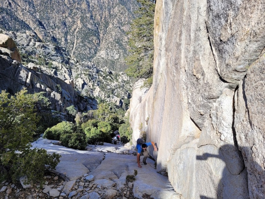
We took our time descending Wall Street. You can either descend using the crack on the left or by holding onto the wall on the right.

We took many breaks on the descent to rest our legs and just enjoy the moment. We passed the other group as we got close to the bottom.
We reached camp once again at 3:26pm. Many of our group took a dip in the creek to cool off. There is a large pool that you can swim around in.

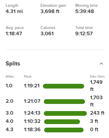
We hung around camp the rest of the day just relaxing. We were planning another pre-dawn start the next day, so we went to sleep early. Stats for day 2 were 4.31 miles, 3698 feet elevation gain, and 9:12:57 total time.
Day 3
We woke up at 4am on day 3. We wanted to get an early start since we had such a long drive back to Tijuana and then had to cross the border which is always a hassle. We began hiking at 5am from 6275 feet above sea level. We took some pictures near the Campo Noche sign now that the other group had cleared out. They had woken us up around 2:45am.
We started the steep ascent back to Botella Azul by the light of our headlamps.
We passed the waterfall once more.
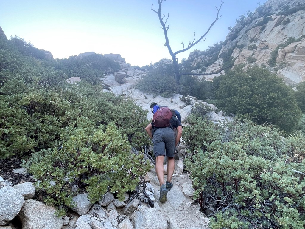
Soon it was light enough to turn off our headlamps. The lower portion of the route was tough with our heavy packs on.
We turned around to admire the glow of the sunrise on the peaks behind us.

We made our way slow and steady up the steep terrain.
We picked up the pace on the upper part of the route since the terrain was less rocky.
We spotted a tiny patch of snow near the saddle.
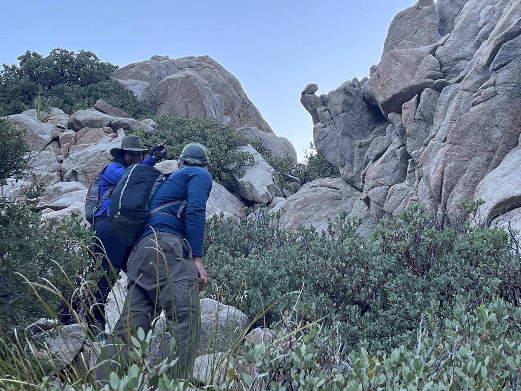
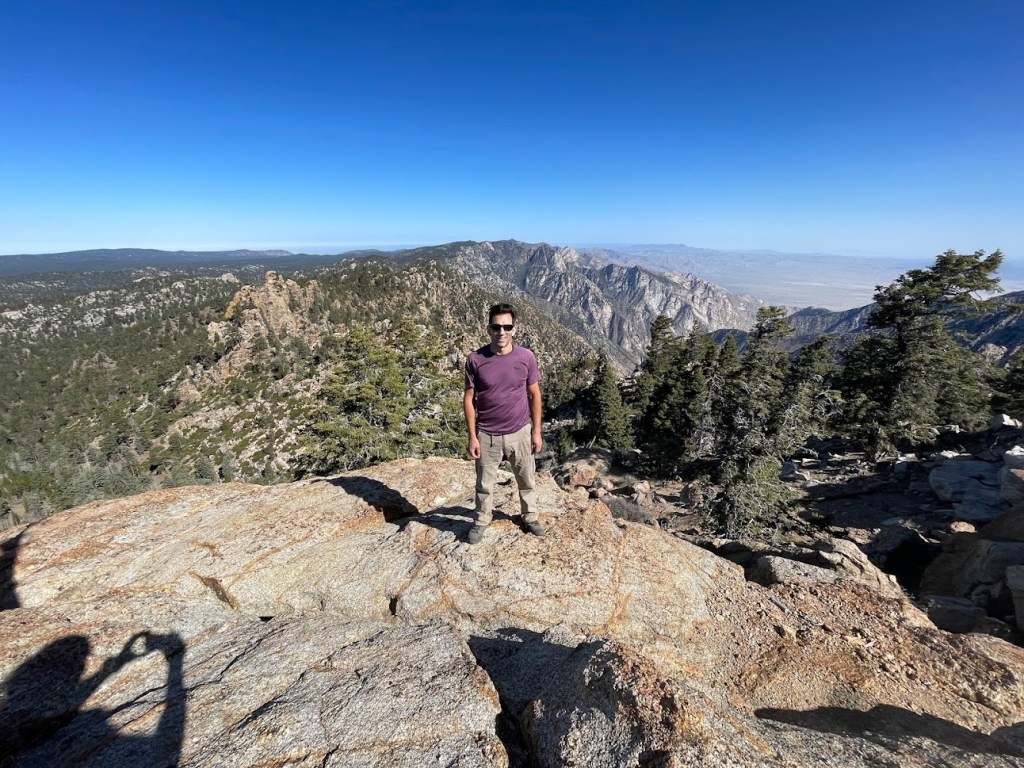
We reached the saddle at 2 miles at 8:36am. Some of our group decided to climb Cerro Botella Azul (9646 feet) real quick while the others rested. Cerro Botella Azul is about 300 feet above the saddle so it would be a quick side trip.

I led the way up relatively easy terrain to the peak.
We reached the summit at 8:56am at 2.4 miles!
We located a sign, a benchmark, and a reference marker.
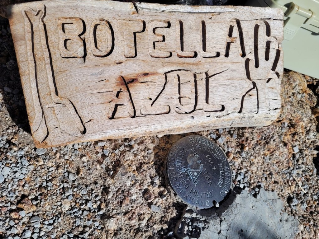
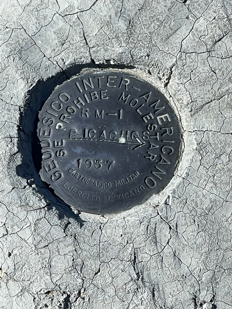
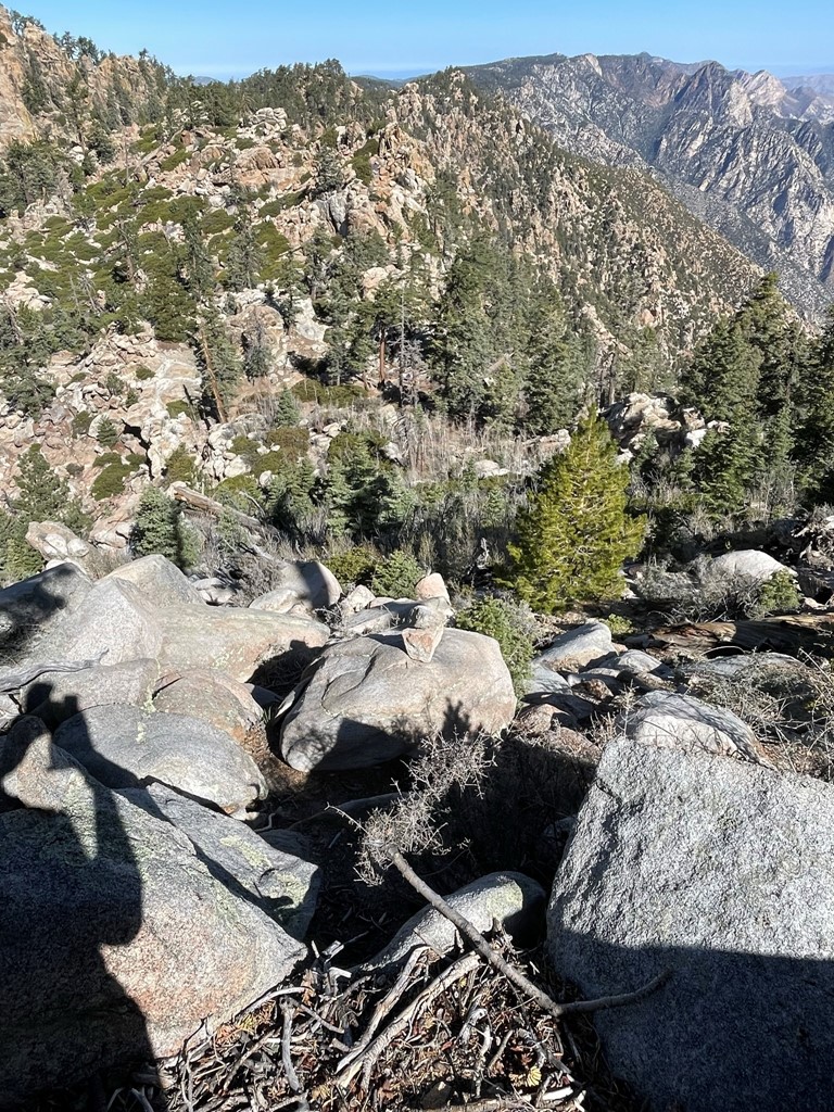
We signed the register; I was surprised to find the previous entry was from January 30th. We had an excellent view of Picacho del Diablo to the northeast:

After a short break we made our way back down to the saddle.
We reached the saddle once more at 2.6 miles. From there we still had 5 miles to reach the van, but it was on easy terrain.
We reached the trailhead at 11:20am. Stats for day 3 were 7.3 miles, 3576 feet elevation gain, and 6:20:02 total time.

We were all very excited to head home, but unfortunately the van didn’t start due to a dead battery. Sofia tried to send a message on her Inreach to her uncle so he could contact the rangers to come help us out. Unfortunately, we were having issues with getting a message through. Some members of the other group began to trickle in. Neither group had jumper cables in their van, but they were nice enough to drive Sofia and Jose back to the main road where they found someone else that did have some. We finally got the van started and were able to leave 2.5 hours later. We stopped in Ensanada on the way back and had some delicious tacos. We dropped off the guides at their homes and reached the border in Tijuana around 9:30pm. Miraculously, there was no wait to get back into the United States. We crossed the border and said our goodbyes.
If anyone is interested, our guides, Sofia and Arturo, were fantastic and I would highly recommend them. They know the route extremely well and were very good about keeping the group together. They work for a guide company called Sima.
