My plan for Sunday was to climb 4 more peaks on the San Diego 100 Peaks List: Palms Benchmark (3121 feet), Elder Benchmark (3433 feet), Collins Benchmark (4559 feet), and Knob Benchmark (3431 feet). The 4 peaks rise above the Collins Valley on its western side and are only a mile or so north of Square Top, which I had just climbed the day before. I had slept the night before at a turnout along Coyote Canyon Road, so I only had a short drive before I started hiking. I made it to the creek crossing and parked there. Note this is signed as the 3rd creek crossing, but I think the first 2 crossings are dry. I had hiked through the creek the previous day on my way to Square Top, so I knew the water was too deep for my Subaru. I started hiking at 6:12am from 1145 feet above sea level.
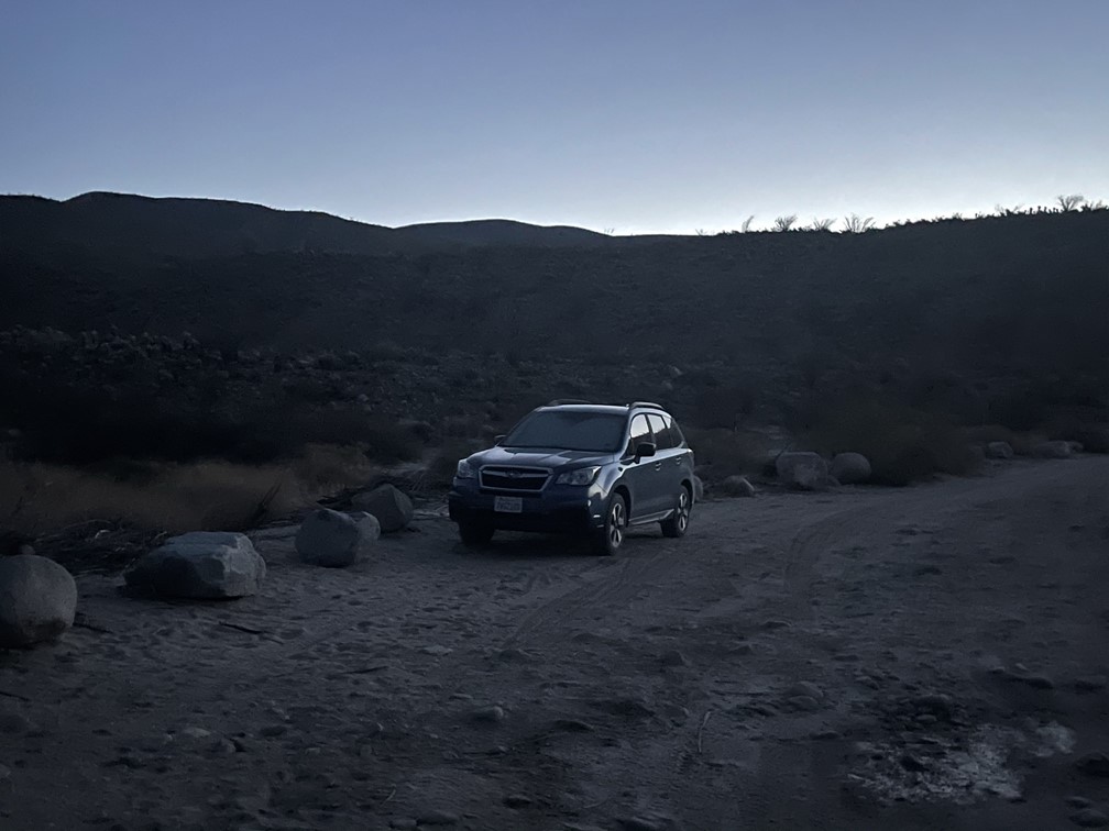
I crossed the creek and then put my shoes and socks on for the first time.
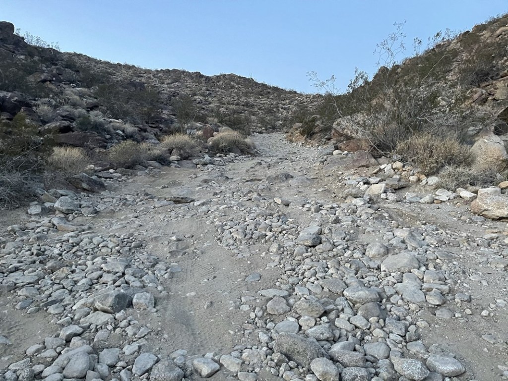
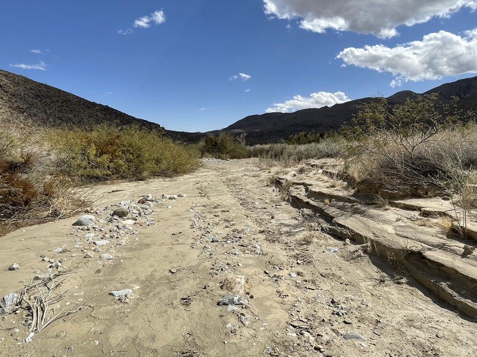
I had just hiked this road the day before, so this part was a bit tedious. I proceeded up “Boulder Alley”, a rough section of the road that gains a few hundred feet after the creek crossing.
At 1 mile I passed a turnoff for a historical marker. I hadn’t even noticed it the day before. I’m not sure what the marker is for.
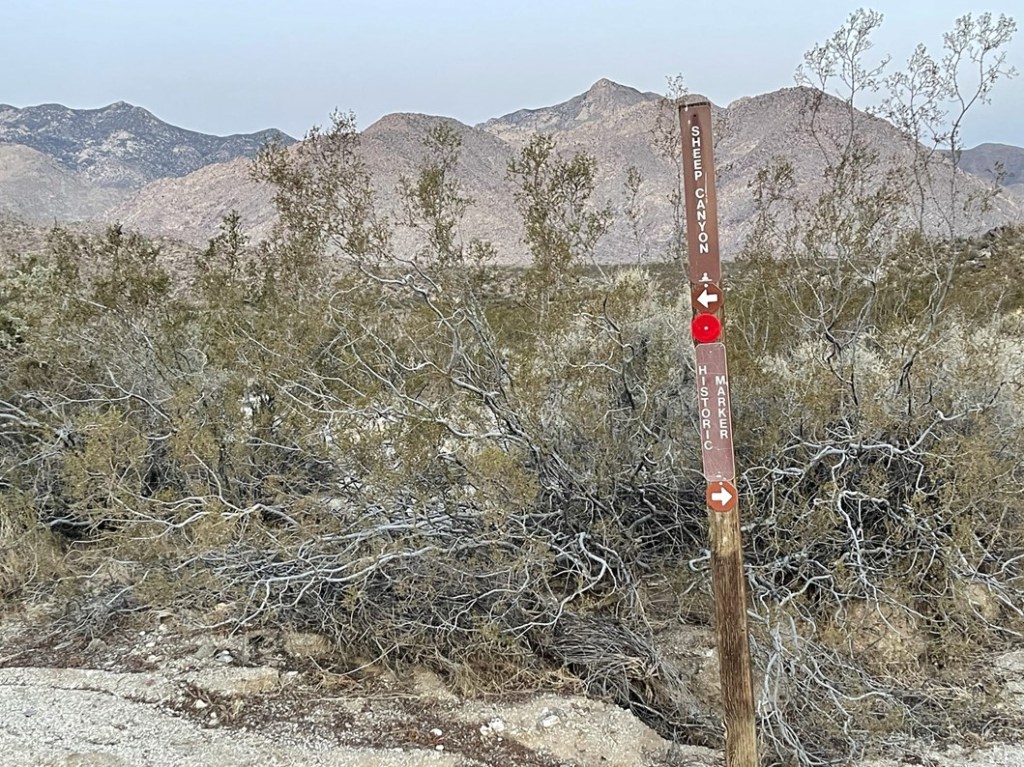
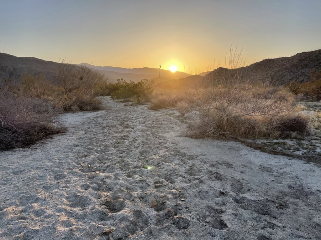
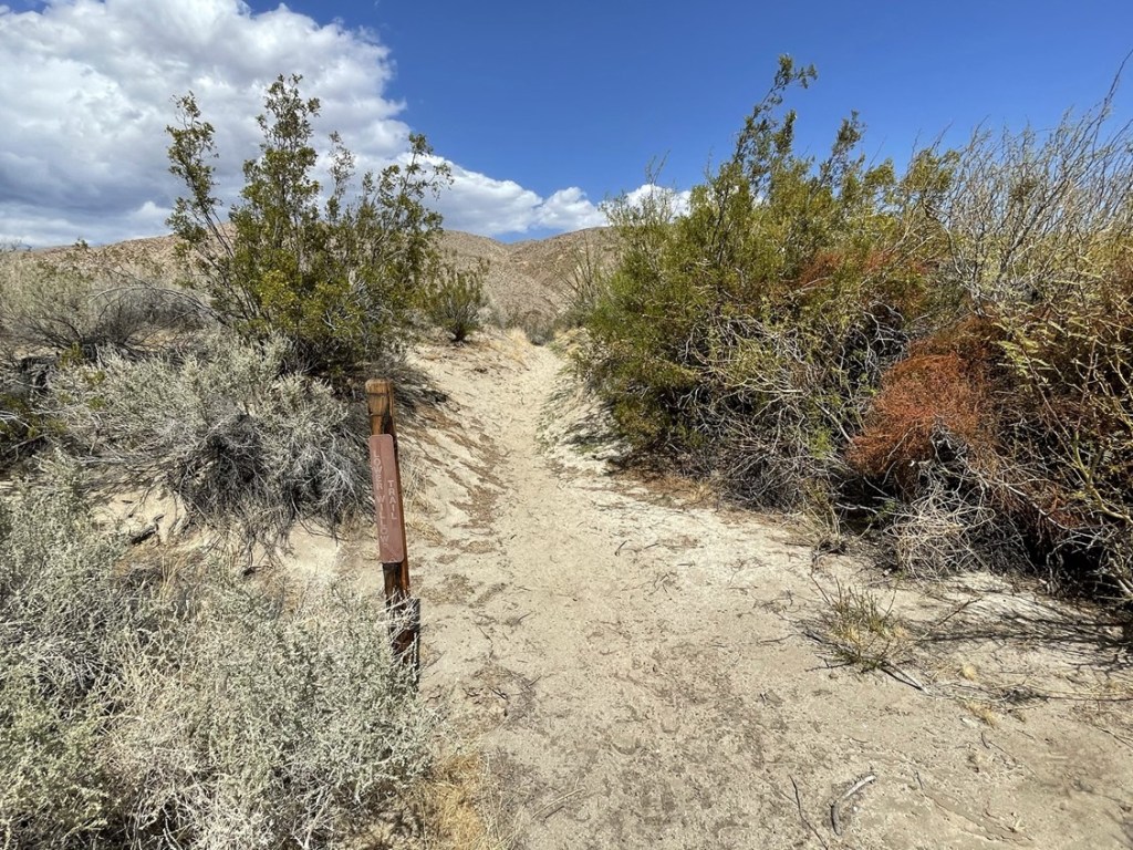
At 1.7 miles I turned left onto the Sheep Canyon Trail again. The sun began to rise behind me.
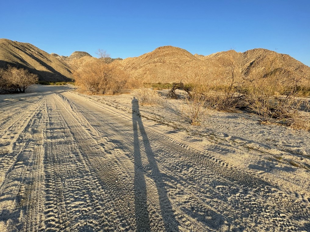
I reached the road again at 2.6 miles. I could see the first 2 peaks directly in front of me. Palms Benchmark is center and Elder Benchmark is right. The other 2 peaks are further back so not visible from down below. Square Top is on the left.
I left the road at 2.9 miles to cut across the desert directly towards Palms. I reached the base of the peak at 3.3 miles.

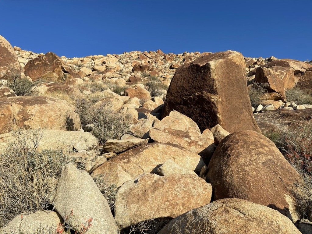
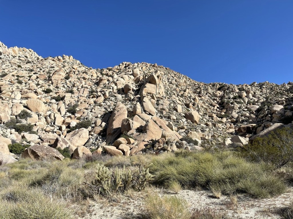
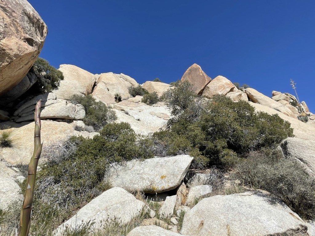
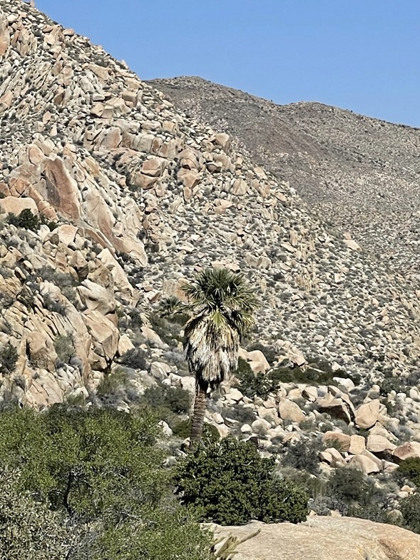
I began the long arduous climb up to Palms (about 1500 feet in a mile). The terrain was immediately more difficult than what I had experienced the previous day on Square Top. Even the lower slopes were comprised of very large boulders.
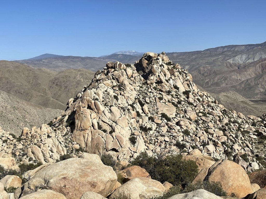
I made my way slowly up the rocky slope and eventually reached a false summit. The actual summit came into view just ahead.

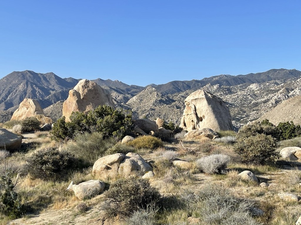
I reached the summit area and climbed up the highest boulder, which has an easy class 3 route up one of its sides. I checked my GPS and found that the benchmark was actually located a few dozen feet north on a different boulder. I climbed down and hiked over there and reached the benchmark at 8:35am at the 4.3 mile mark.
The highest boulder is the one on the left below. I wanted to climb the right boulder as well but did not find a non-technical route.
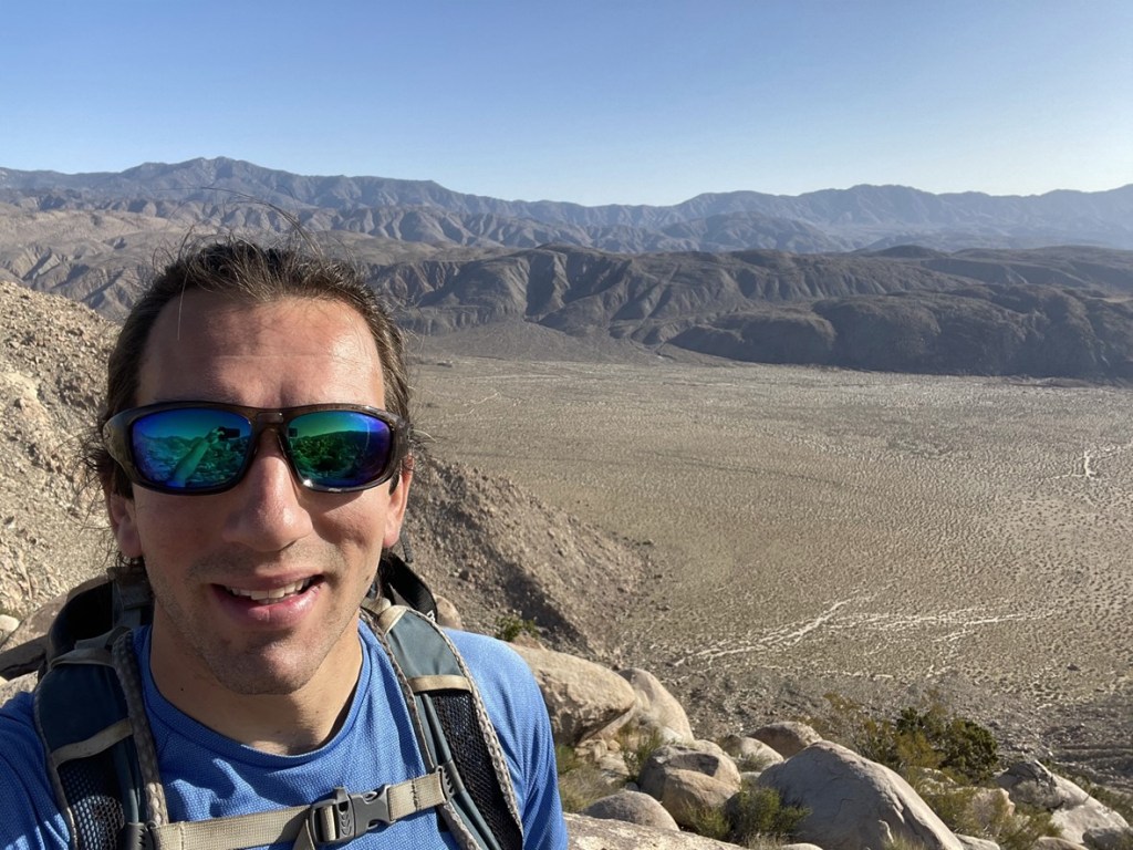
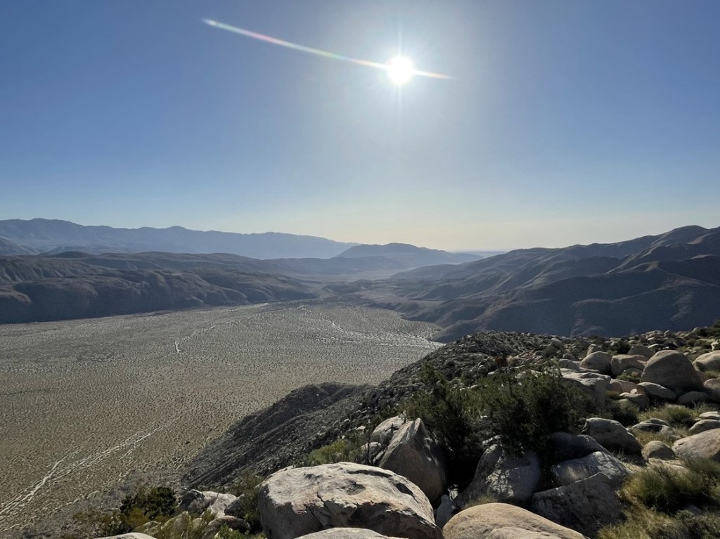
The view of the sun rising above the Collins Valley was tremendous.
To the southwest I could see Square Top just a couple miles away.
I signed the register which had been placed in 2018. I was a bit surprised to find that someone had signed in the day before. I looked around for a benchmark but apparently it has been removed or is missing. I did find this cute little guy hiding underneath a rock.

After a short break, I began descending off the northwest side of Palms. Elder is one of the peaks on the right and Collins is the much higher peak on the far left. The plan was to descend to the flat in the middle of the picture and climb up the south side of Elder.
I made it down to the flat and proceeded to the base of Elder, which I reached at 5 miles.
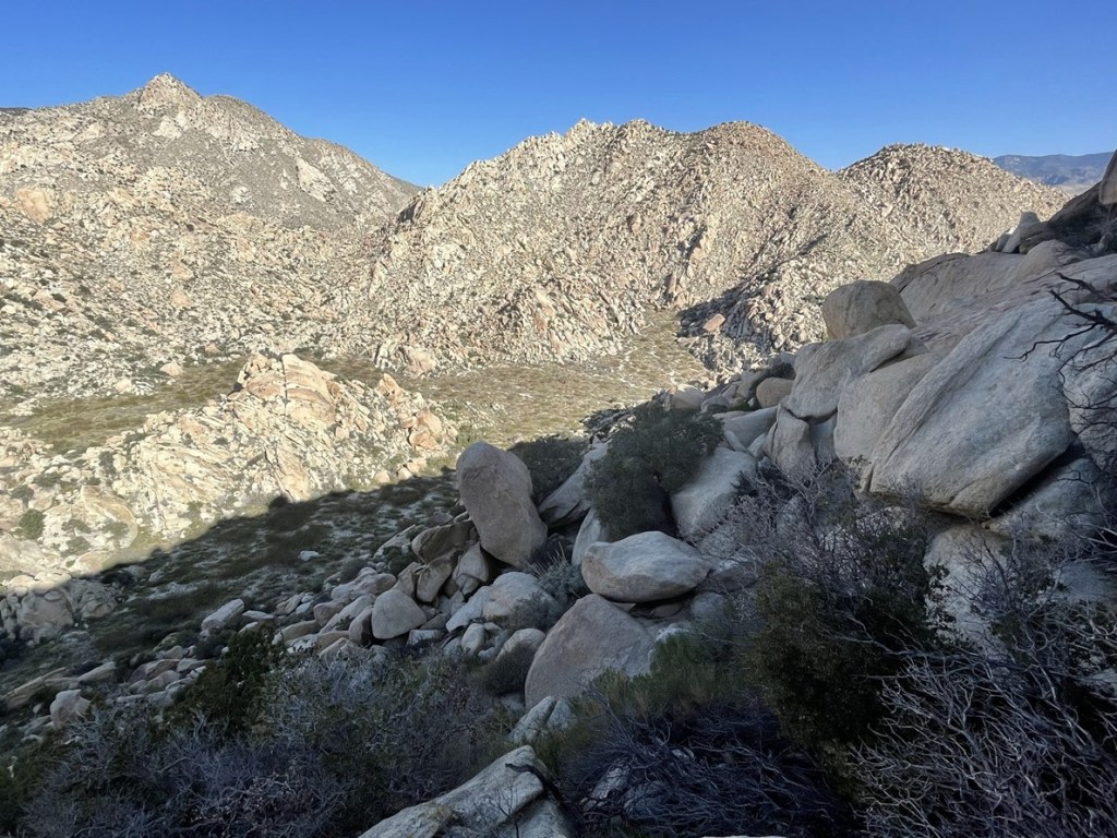
It would be about 600 feet to the summit of Elder from the base. There were huge boulders to contend with here as well.
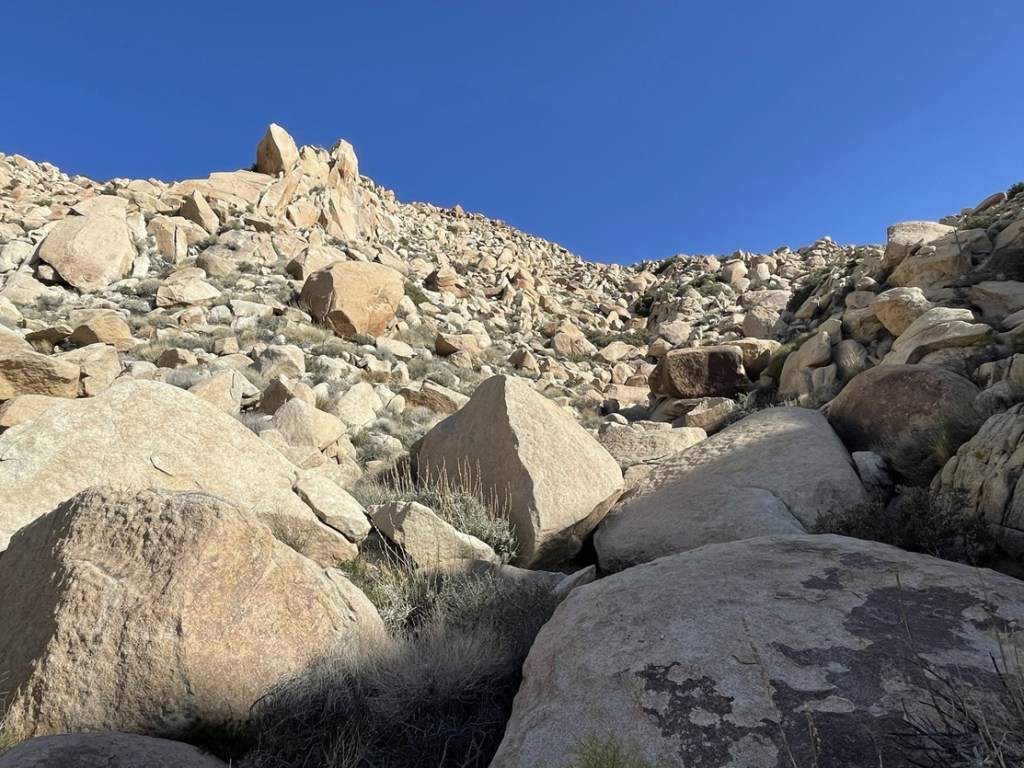
I slowly worked my way up the slope. At one point I couldn’t find a way, so I had to circle around to the east and then back to the west. The grade flattened out a little near the top. I reached the benchmark at 9:44am at 5.4 miles!
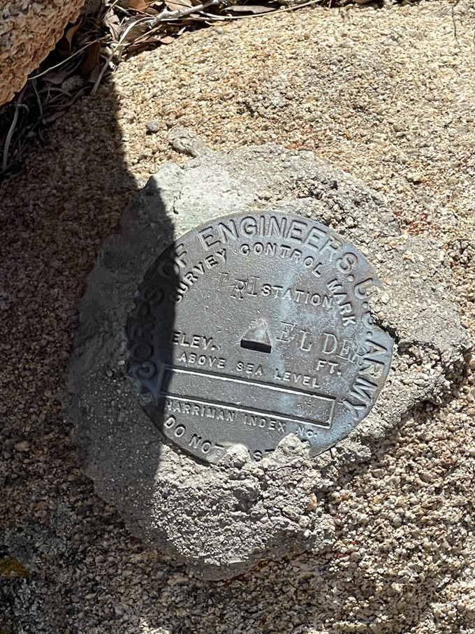
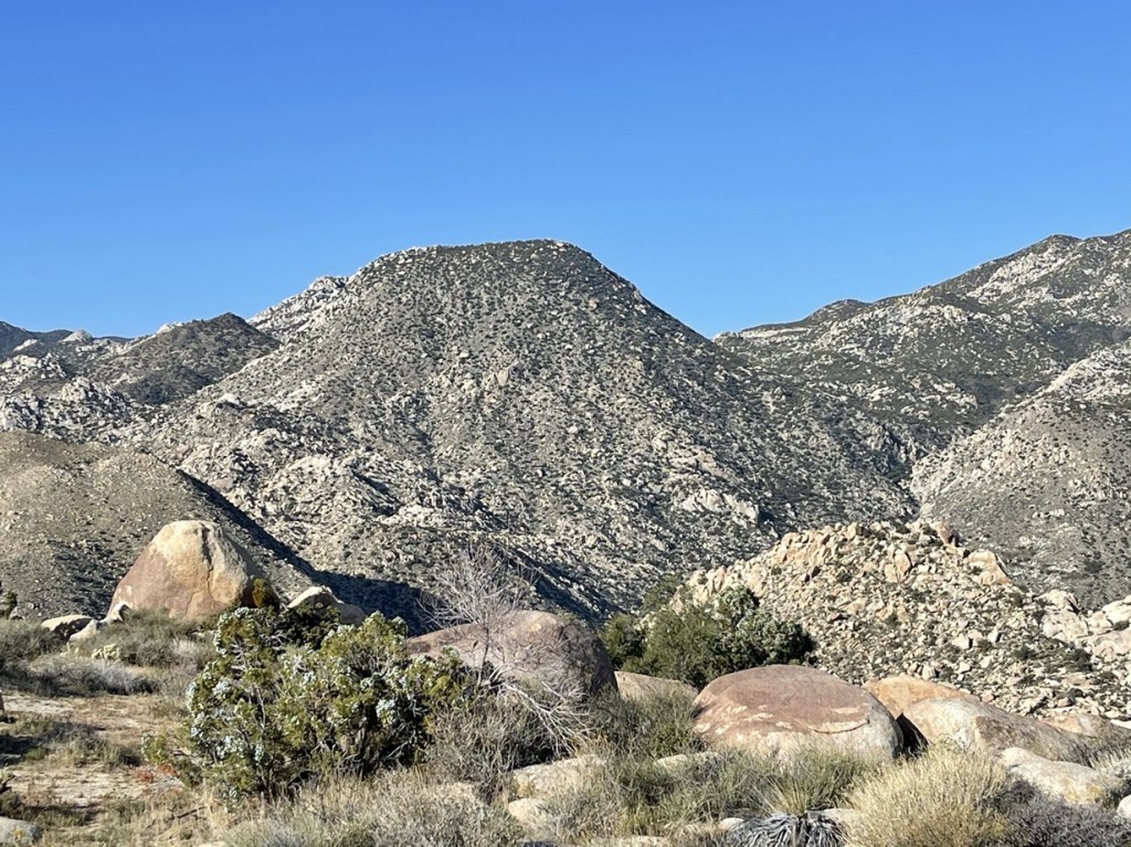
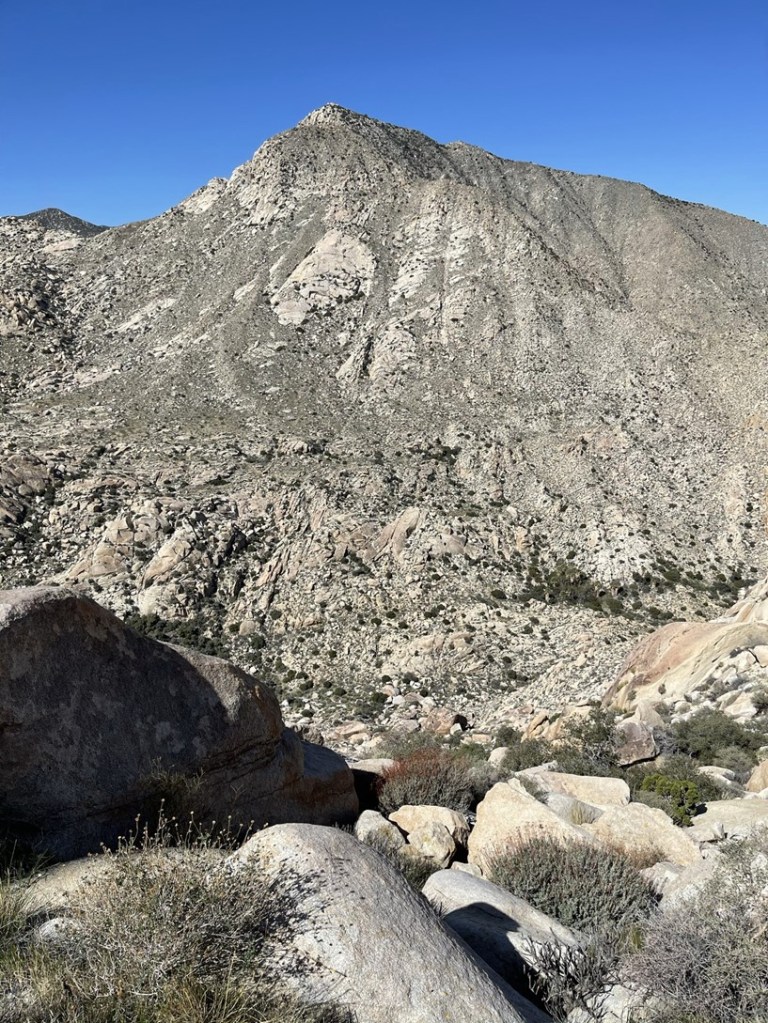
I signed the register which had been placed in 2014. The same hiker who had signed the Palms register the day before had also visited Elder. The views were similar to Palms. I could see my next objective, Collins, towering over 1000 feet above me to the west.
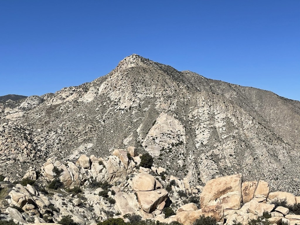
To the west I could see another little peak less than a mile away. At 3482 feet, this peak is slightly higher than Elder Benchmark and is called Elder North on Peakbagger. It looked close, so I decided to give it a go before climbing Collins (this would end up being a huge mistake).
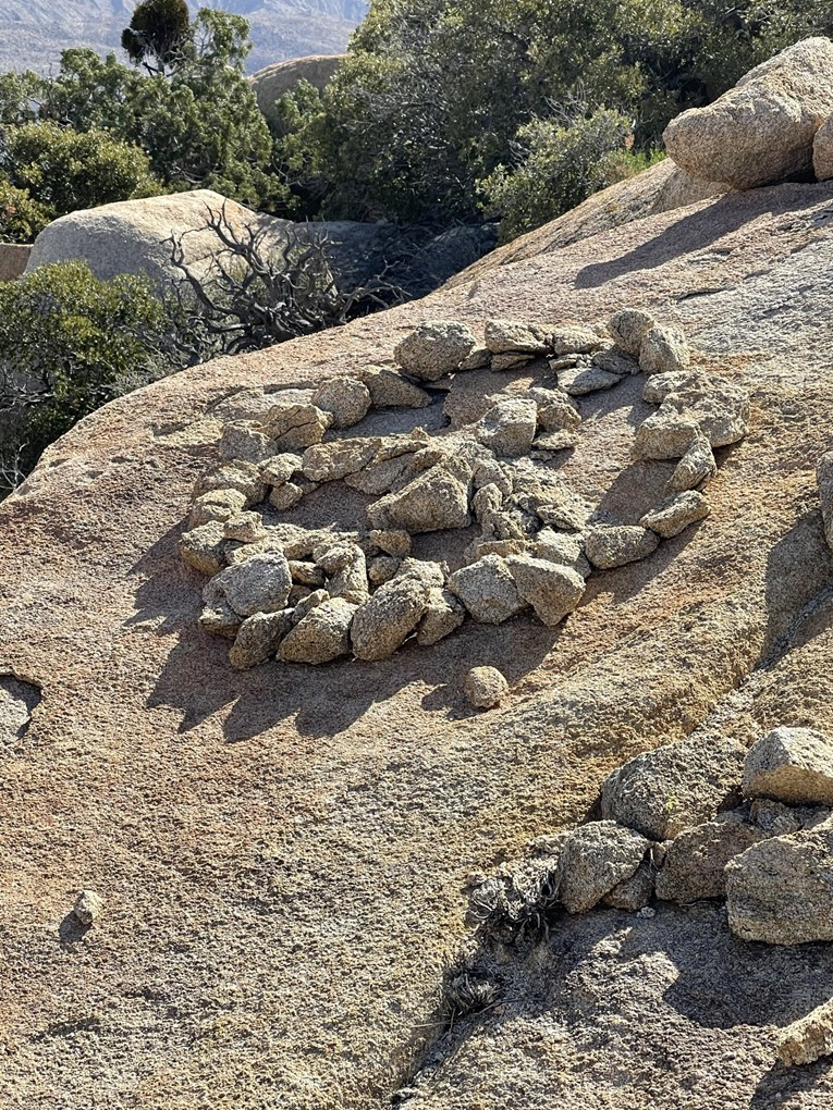
I began descending Elder to the north. The terrain was even harder on this side than it had been on the way up. House sized boulders and thick brush really impeded my progress. I couldn’t find a way to descend directly north so I started cutting across to the west. I couldn’t find a way down that side either, so I went back to the north side. I eventually found a way through with a little class 3 downclimbing. At one point I found what looked like a peace symbol made out of rocks.
Eventually I reached a flat between Elder and Elder North. I proceeded across the flat and then began climbing Elder North from the east.
I made my way towards the top, but my progress was still very slow. Eventually I reached a point where I couldn’t go any further. I knew I was close to the top but climbing any further was beyond my ability. I later read some trip reports and it seems this peak is normally climbed with a rope. I was frustrated that I had just wasted over an hour on a peak I couldn’t even climb. It was also pretty warm, and I was expending a lot of energy going nowhere so I was beginning to get concerned about my water supply. I still felt pretty good though, so I began downclimbing from Elder North. There is a large canyon between Elder and Collins that requires descending about 700 feet to reach the bottom (and then about 2000 feet up to Collins on the other side).
The terrain on the north side of Elder wasn’t as bad so I made decent time down the rocky slope. I could see palm trees in the canyon below.
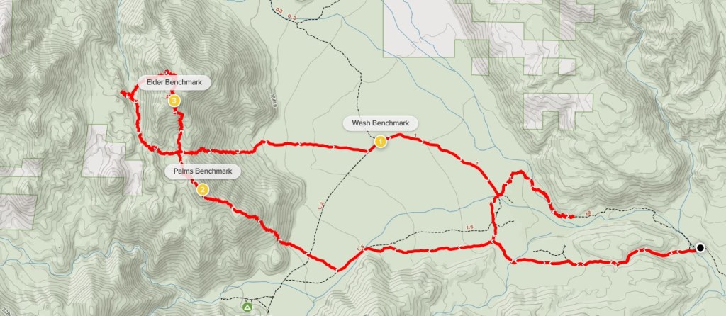
I reached the bottom of the canyon and started ascending towards Collins. I didn’t make it very far when I made the tough decision to turn around. It was very warm, and my progress was so slow on this terrain that I didn’t feel like I had enough water for the whole loop. I was annoyed at myself for not bringing more water, especially since I still felt pretty good and I really wanted to get these remote peaks done while I was all the way out here. The only good news is that Collins and Knob can also be accessed from the west via Lost Valley Road (near the Combs Peak trailhead), so I wouldn’t have to redo this same route to climb those peaks in the future. I took a short break and then started heading back down. I followed the canyon to the south and then turned east into the flat area between Palms and Elder. I then descended directly east down the rocky slope between the 2 peaks to the desert floor, which I reached at 8.4 miles. It had been 3.5 hours since I was on the summit of Elder and I had barely gone 3 miles. I hiked east across the desert until I eventually found Coyote Canyon Road. At 9.3 miles, I found Wash Benchmark just off to the side of the road.

I hiked east along the road back towards my car. I noticed a trail on the map that seemed to follow Coyote Creek all the way back, so I decided to take that instead of the boring road I had hiked in on. The trail is called the Lower Willows Trail.
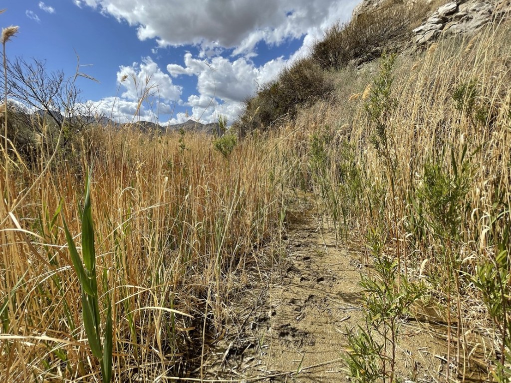
The trail went north and then meandered to the southeast. Eventually the trail disappeared, and I was hiking in the creek bed itself.
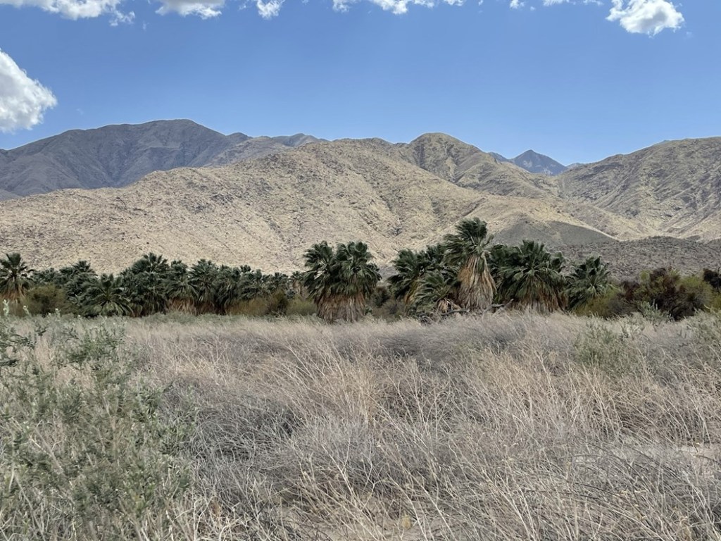
There was a huge grove of palm trees just to the south. Unfortunately, the brush was too thick to hike over to them.
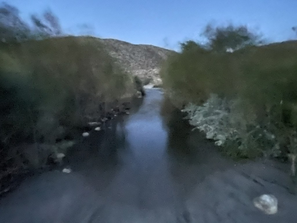
I kept hiking until the dry creek bed wasn’t so dry anymore. At first it became very muddy and then a small stream of water was actually flowing. The tall grass in the creek bed was also becoming a problem. I realized there was no way to continue unless I wanted to hike in ankle deep water. Today was just not my day!
This latest misadventure probably added another 2 miles to my hike. I felt like I had been hiking forever without actually going anywhere. Frustrated, I retraced my steps back to the road and then hiked the final few miles back to the car, which I reached at 3:40pm. I did see a snake on the road about a mile or so from my parking spot. It didn’t make a sound, so it wasn’t a rattlesnake. Unfortunately, it slithered away out of sight before I could take a picture. This hike totaled 14.32 miles, 3511 feet elevation gain, and 9:27:43 total time.

I packed up the car and made the 2 hour drive home to San Diego. I was a little disappointed that I didn’t get all 4 peaks, but it was still a great weekend in the desert!
