The Desert Divide is a fun set of peaks extending south from San Jacinto towards Highway 74 in somewhat linear fashion. They form a long continuous ridgeline that “divides” coastal Southern California from the desert. I had been to the area on 2 other occasions – in January 2019 to climb Spitler and Apache Peaks, and in April 2019 to climb Pyramid Peak, Lion Peak, and Pine Mountain. My plan today was to climb Cone Peak (6800 feet) and Palm View Peak (7160 feet). I used the Cedar Springs Trailhead, which is on Morris Ranch Road about 3.5 miles from Highway 74. This is actually the same trailhead I used for Pyramid, Lion, and Pine back in 2019. I got an early start, leaving San Diego at 4:30am. My plan was to first climb Cone Peak via a use trail that starts near the parking area, then proceed cross country to the PCT, climb Palm View, and then descend via the Cedar Springs Trail. I started hiking at 6:20am from 5454 feet.
I started hiking up the road, passing a few homes along the way. I went by the Cedar Springs Trail on my right, which I would be taking down. A car full of hikers had pulled up next to me as I was getting ready, so I assumed they were taking that trail up to the PCT. I had a good view of Cone Peak with its rocky summit above me.

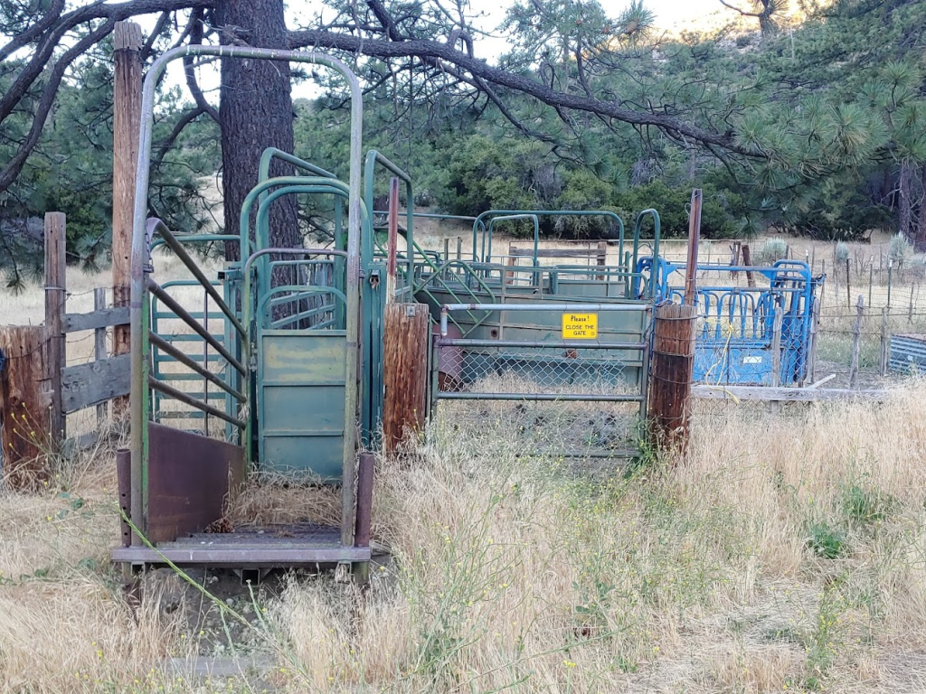
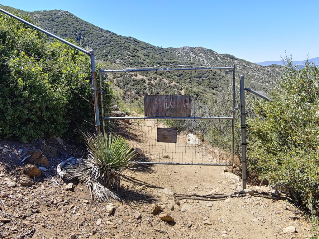
At 0.2 mile the pavement ended. At 0.4 mile I passed through a gate. This appeared to be the start of an access trail through someone’s property to reach National Forest land.
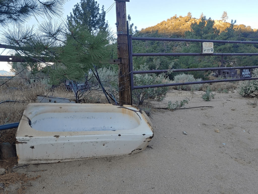
The trail parallels a fence on the left side with a lot of private property signs on it. There was a lot of junk laying around, including an old bathtub.
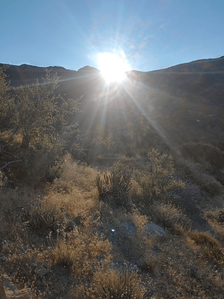
At 0.7 mile I made a sharp right turn away from the fence as I started ascending north towards Cone Peak. The sun was beginning to peak out above the Desert Divide to the east.
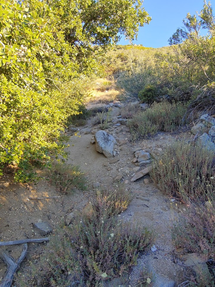
The use trail makes its way steeply upwards through typical Southern California chaparral. The trail was actually better than I was expecting, but I found that it split and came back together again fairly frequently.
At one point I found myself going too far to the north, and it looked like I was going to bypass Cone Peak on its east side. I checked my GPS and found that I was off route. I had to backtrack about a quarter mile to get back on the correct trail. Shortly after that, I reached a small saddle in between Cone Peak and an unnamed peak of elevation 6684 feet to the south. I decided to climb Peak 6684 quick before continuing to Cone. Its summit block was an easy class 2 boulder.

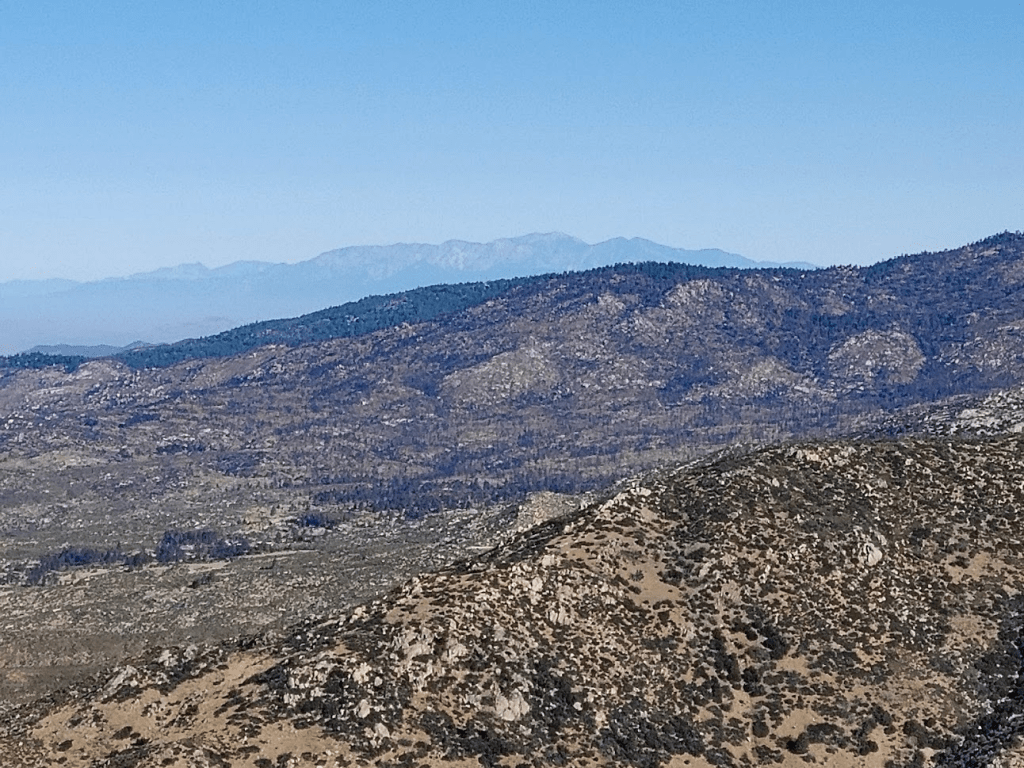
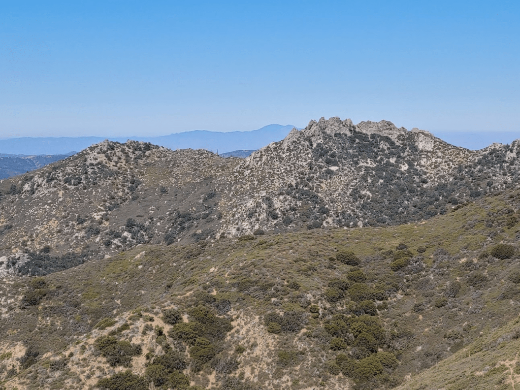
I climbed up the boulder and reached the top at the 2.1 mile mark. I had a nice view of Cone Peak to the north. Behind it is the main ridge of the Desert Divide.
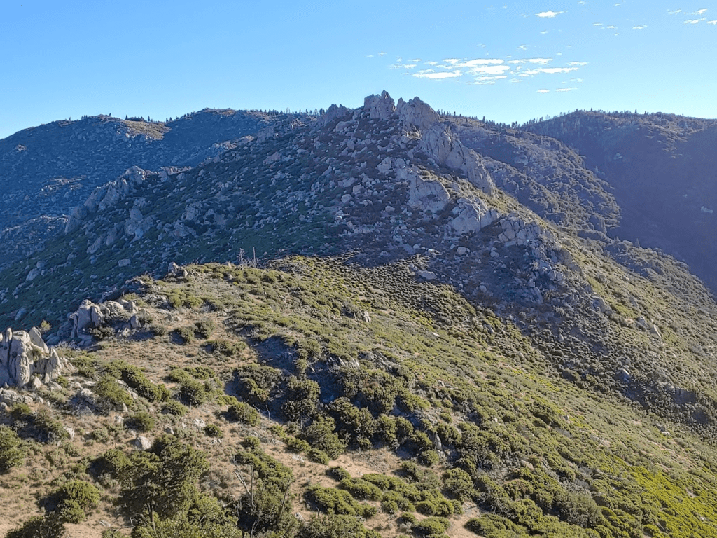
The Peakbagger coordinates for Peak 6684 are slightly to the west of the actual summit. There are 2 other rock piles near the coordinates, but they are clearly lower than the east summit I was standing on. I went and climbed to the 2 western rock piles for good measure before continuing to Cone.

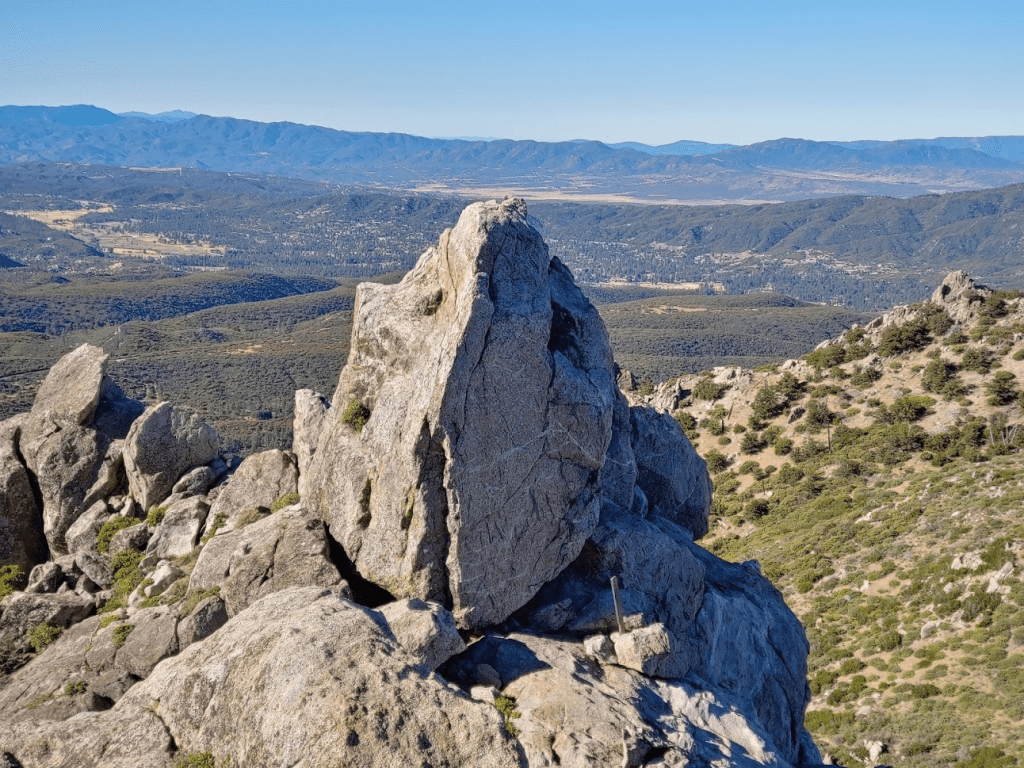
I made my way back to the saddle and then on to Cone. It wasn’t far but the waist-high brush was annoying as I approached from the southwest. The summit area contains 2 rock pinnacles. The south one is slightly higher.

I climbed up to the base in between the 2 pinnacles. The higher south pinnacle is class 3. I found the register at the base of the rock. The Sierra Club guidelines for counting a peak states that summit blocks are optional, which is why the register is at the base. I was able to carefully climb around the west side of the rock and then up from the south. It was fairly easy but kind of exposed. It was 7:56am when I reached the top. I was at 2.61 miles so far.
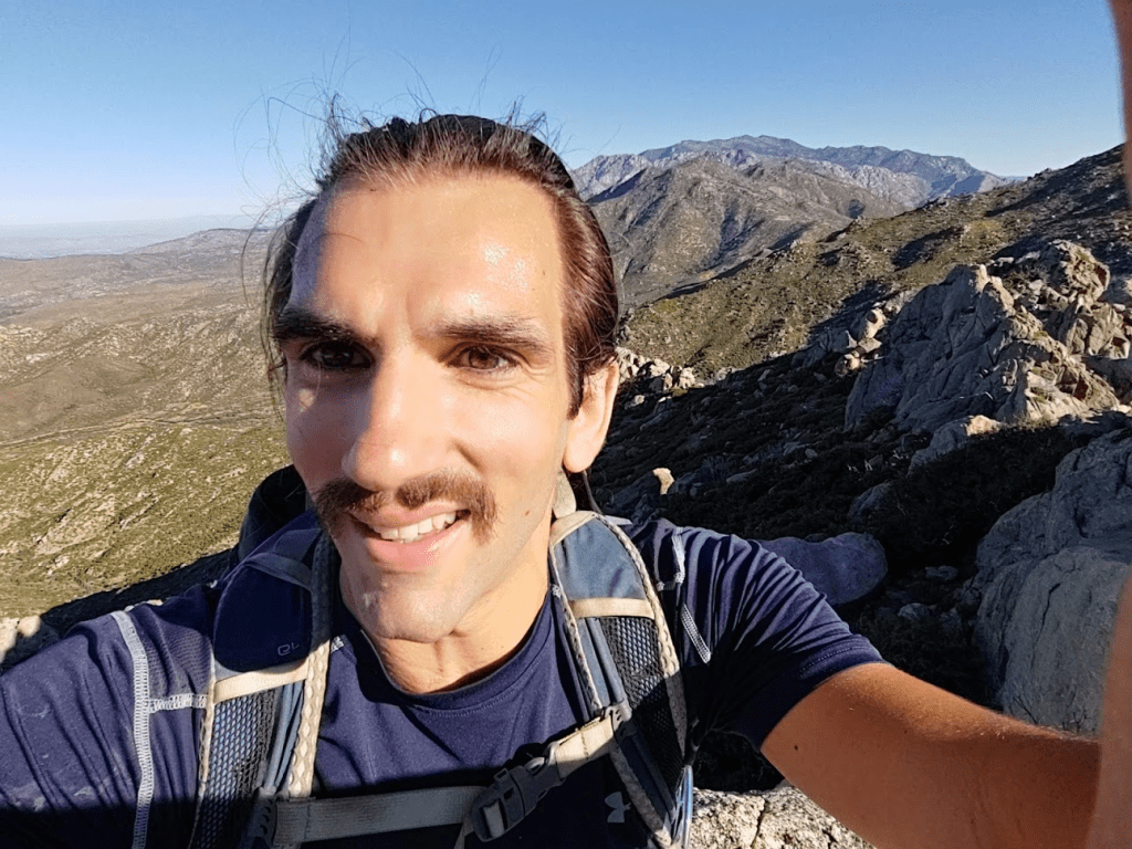
The views were pretty nice. San Jacinto loomed impressively to the north.
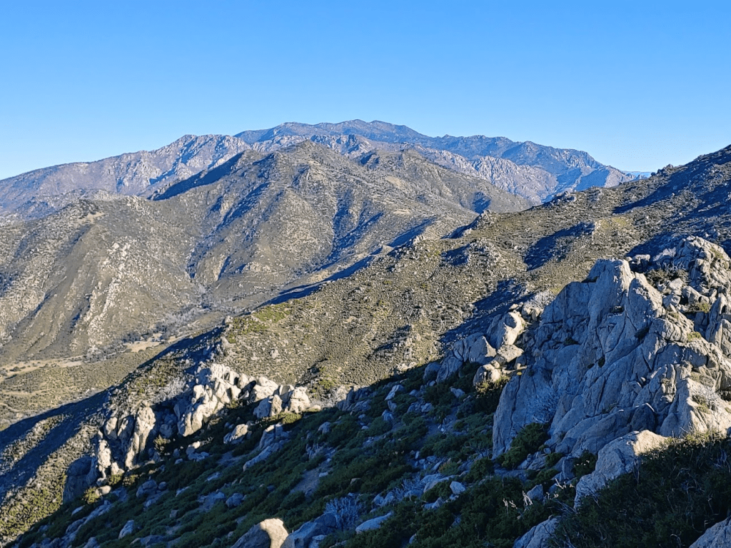
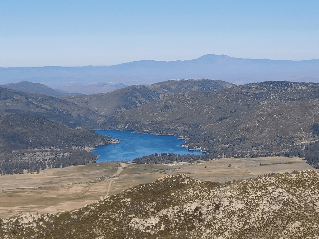
I could see Lake Hemet to the west, with Santiago and Modjeska Peaks in the distance.
I could even see Mount Baldy far to the northwest.
I climbed back down and signed the register. I noted the previous ascent was June 14th. I climbed the class 2 north summit just for fun before continuing. This is looking back at the south summit:
I started making my way north to the PCT. It would be 1.2 miles through mild brush. It was really starting to warm up now.

There was a lot of recent burn evidence in this area.

Route finding through the brush was mildly difficult, so it took a while to get through this part. My clothes were getting really filthy. At 3.86 miles I reached the PCT. Palm View Peak was really close now. I hiked east for about a tenth of a mile and then turned north off the trail. It was another tenth of a mile to the summit. There is no use trail from the PCT to Palm View Peak, but the brush was only knee high (mostly tall grass). I reached Palm View Peak at 9:12am at the 4.1 mile mark.
I signed the register and took a short break. There were a lot of trees blocking the view on the summit, but I did have a nice view of Palm Springs to the northeast (as the name of the peak would suggest). The mountains of Joshua Tree National Park could be seen in the distance.

I made my way back to the PCT and turned left (southeast).
The trees started to thin out as I made my way south, so the views started to open up. I could see the 3 peaks I climbed in April 2019. From left to right: Pine Mountain, Pyramid Peak, and Lion Peak. Toro Peak can be seen in the distance on the left side of the picture.

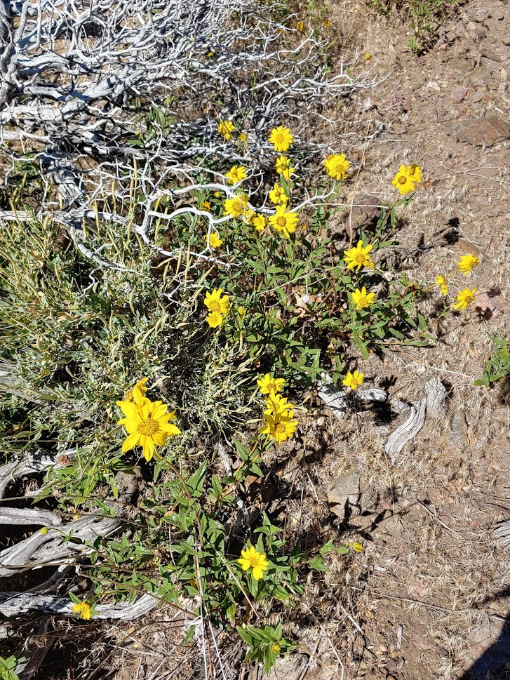
There were a lot of pretty sunflowers along the trail.
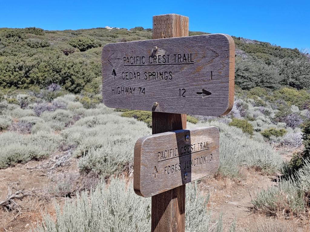
At 5.94 miles I reached the junction with the Cedar Springs Trail. I had one more minor peak I wanted to climb before descending, so I continued south on the PCT for another quarter mile to a Peakbagger Peak called Little Desert (6868 feet). This isn’t really a peak – just a small rock pile off to the side at a point where the PCT goes over a small rise. I reached Little Desert at 6.23 miles. Despite being the easiest peak of the day, Little Desert provided the best views. I had an unobstructed 360 degree view of the area. I recognized many desert peaks to the east, including Eagle Mountain, Black Butte, and Orocopia Mountain.

To the west I had a great view of Peak 6684 (left) and Cone Peak (right).
After taking a few pictures I began the descent. I backtracked a quarter mile and turned left onto the Cedar Springs Trail.
From the junction the trail makes many switchbacks as it descends down to Morris Ranch Road. This trail was familiar to me since I had used it on my April 2019 ascent of Pine, Pyramid, and Lion. The lower part of this trail appears to be an easement through someone’s private property. There were many gates to pass through.
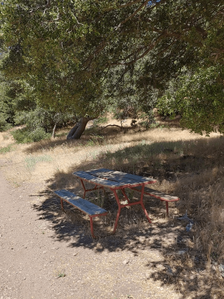
At 8 miles I passed a lone picnic table.
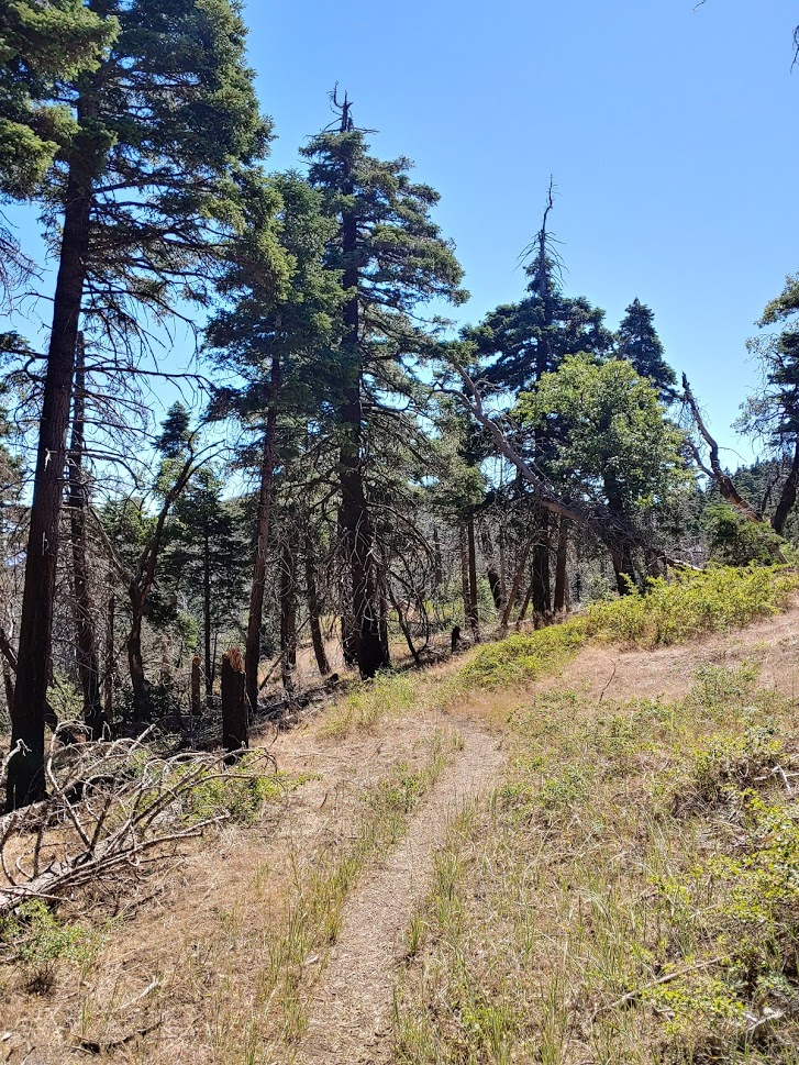
The route became much more wooded as I got close to the trailhead. The trail follows a creek for a short way along this portion. There was still some water in the creek.

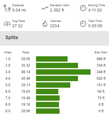
At 8.9 miles I passed through one final gate and was back on pavement. From there, it was a short walk back to the car, which I reached once more at 11:25am. This hike totaled 9.04 miles, 2362 feet elevation gain, and 5:05:09 total time.

South Fork San Jacinto Wilderness High Point 07/18/2020
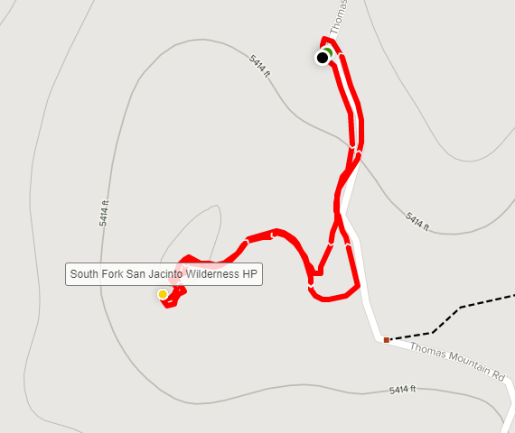
I had one more minor peak I wanted to do quick before heading home. I was pretty close to the high point of the South Fork San Jacinto Wilderness, and it appeared to be a very quick easy climb right off a dirt road. I drove back out to Highway 74, went north for 3.5 miles and turned left onto dirt Thomas Mountain Road. I drove another 3.5 miles west on this road before parking. The road was in pretty decent shape, but high clearance recommended for a few rutted portions. I ended up parking in a wide spot in the road. I wasn’t too concerned about leaving my car there since this hike would be so short. I climbed up the embankment on the side of the road and hiked just a few tenths of a mile to the Wilderness High Point. The summit was actually made up of some cool rocks which were fun to scramble up.

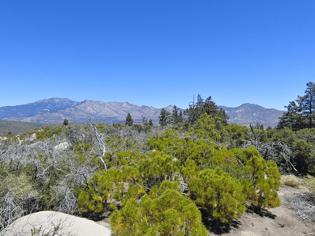
The views were actually pretty good, so I took a few pictures. Starting from the left: San Jacinto, Tahquitz Peak, South Peak, Antsell Rock, Apache Peak, Spitler Peak
It was very warm now by this point in the day – my car said it was 90 degrees. I hiked back down and got back into the air conditioning as quick as I could. This hike was just 0.36 mile, 49 feet elevation gain, and 11 minutes total time.

It was just after noon when I started the long drive home. Another fun day in the mountains!
