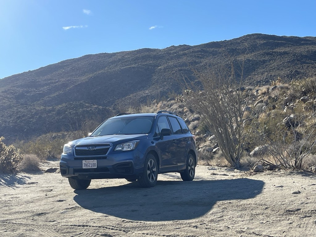
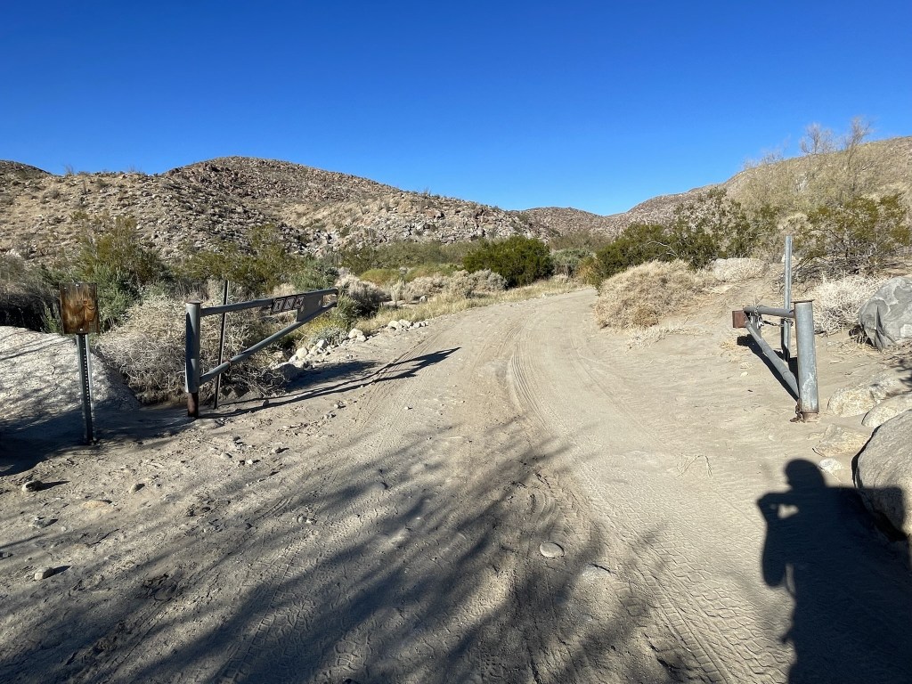
It was finally time to finish the San Diego 100 Peaks List. I was at 97/100 peaks and the only 3 I had remaining were Palm Mesa Highpoint (4660 feet), Pike Benchmark (5571 feet), and Cody Benchmark (5586 feet). The 3 peaks are located in a remote corner of Anza Borrego Desert State Park and are 3 of the most difficult peaks to reach on the list. I had been putting them off for some time due to the long drive and long approach, but now it was finally time to climb them and complete the list. The easiest approach is actually from the west from Los Coyotes Indian Reservation, but recent trip reports indicated that they no longer allowed access to that part of the reservation. Instead, I opted for the lengthy approach from Indian Canyon in Anza Borrego. My plan was to hike up Indian Canyon and ascend a ridge to a saddle at about 4500 feet, climb Palm Mesa Highpoint, then return to the saddle and set up camp for the night. Day 2 I planned to climb Pike, Cody, and a few other benchmarks in the area, return to camp, and then descend back down Indian Canyon. I left San Diego around 6:30am Friday morning and made the 2+ hour drive to Anza Borrego. From Christmas Circle in Borrego Springs, I went east on Highway S22, then north on Di Giorgio Road until the pavement ended. I then went northwest on Coyote Canyon Road for several miles until the 2nd crossing of Coyote Creek which had flooded the road. I began hiking at 8:59am from 1092 feet above sea level.
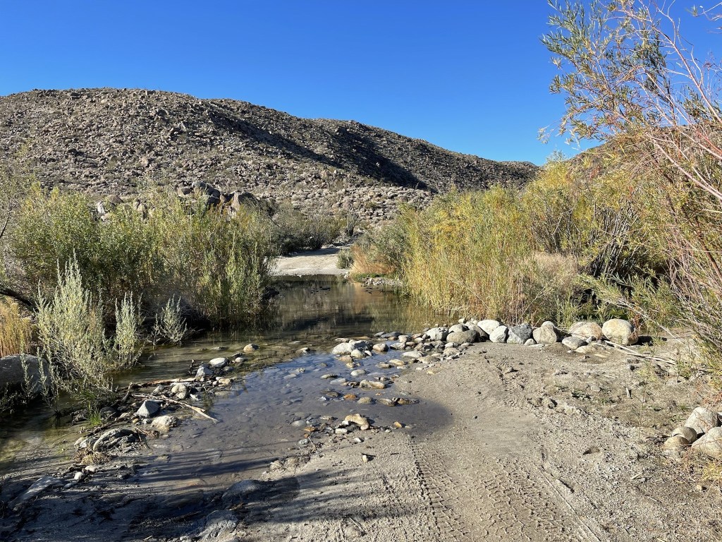
I crossed the flooded portion of the road. I was able to stay mostly dry by hopping across a narrow part to the right. The water was likely shallow enough to drive through, but I didn’t want to take any chances.
At 0.4 mile I passed through an open gate. The gate is closed June 1 to September 30 to protect watering rights of Desert Bighorn Sheep.
At 0.7 mile I reached the 3rd crossing of Coyote Creek. The water was pretty shallow here, so I just walked through with my boots on.
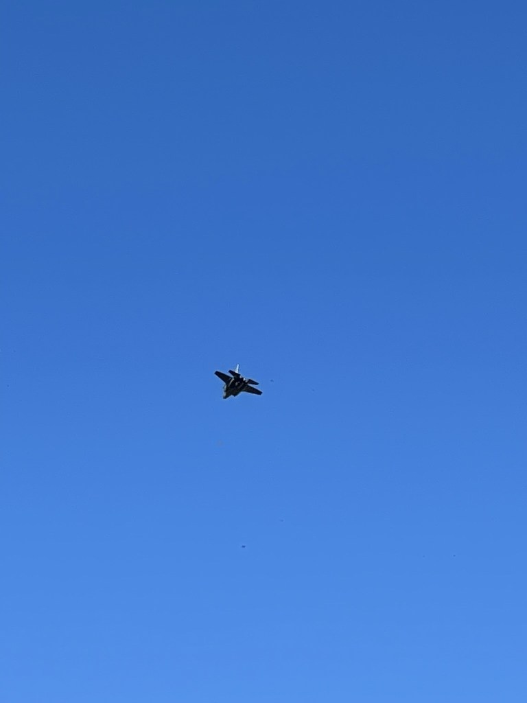
Shortly after I saw a fighter jet fly over. This would be the first of many jets I would see throughout the weekend.
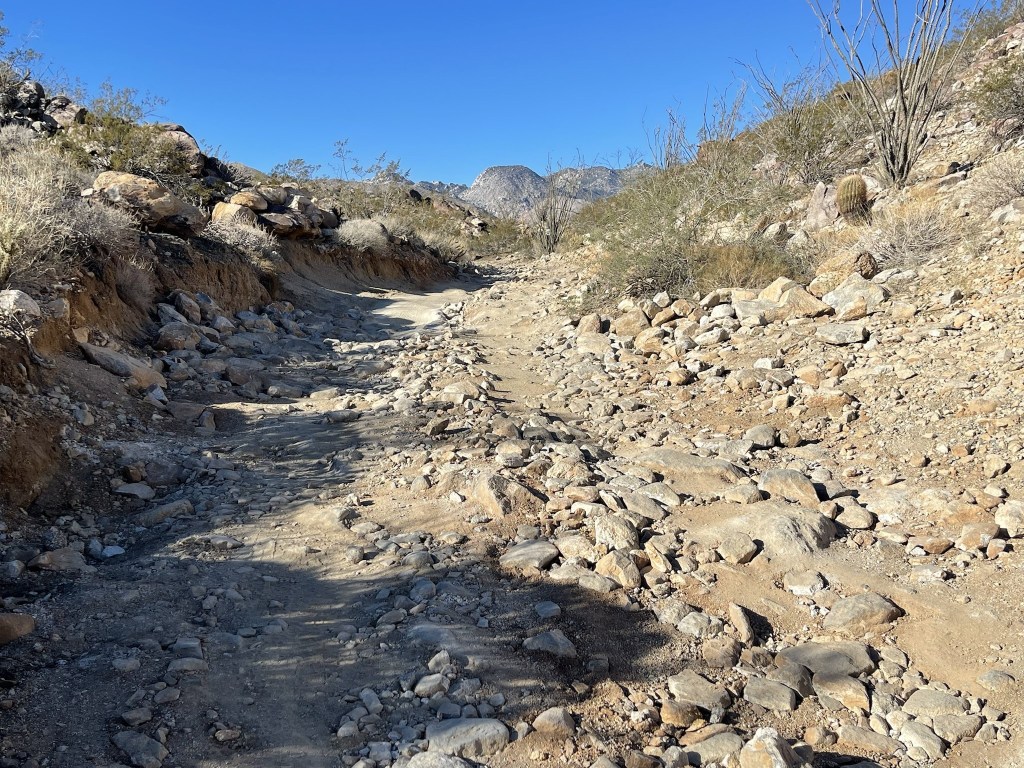
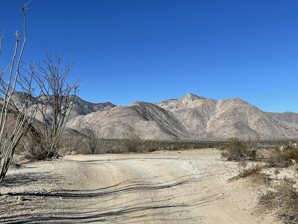
The next section of road was rough and very rocky.
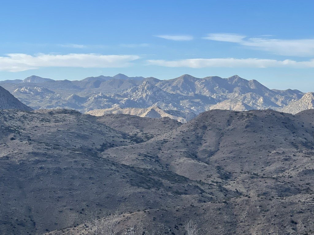
At the top of the rough section the road entered Collins Valley. Collins Benchmark, which I climbed the previous April, is the pointy peak on the right.
At 1.7 miles I passed a turnoff for a historical marker. At 2.4 miles I reached the Sheep Canyon Trail. One could stay on the road at this point, but the trail is more direct.
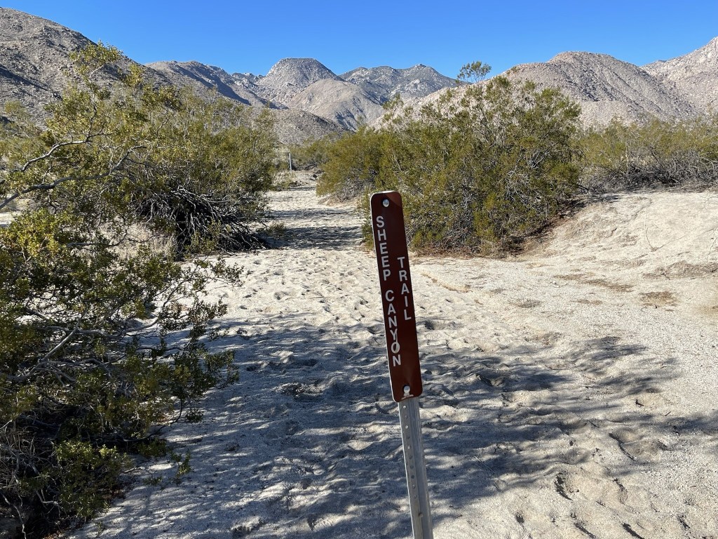
I continued west on the Sheep Canyon Trail. Square Top, which I climbed last March, was visible directly ahead. At 3 miles I ran into another hiker heading the other way. He was out for a 3 night backpacking trip exploring the various canyons in the area.
At 3.3 miles I reached Sheep Canyon Road.
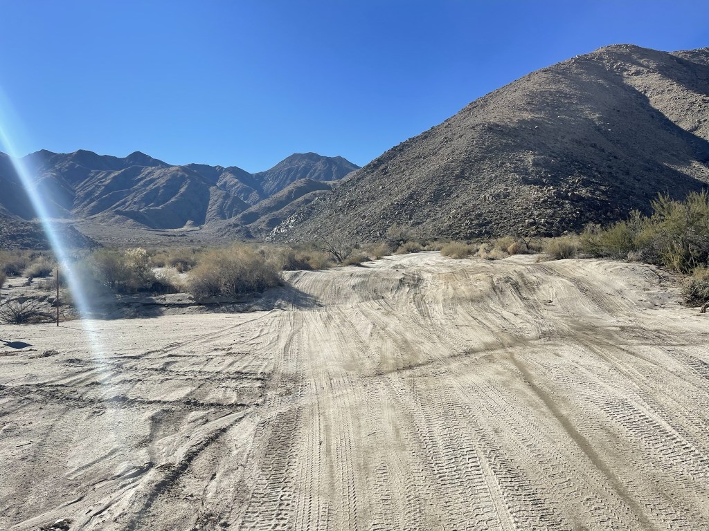
At 4.1 miles I turned left onto Cougar-Indian Road.
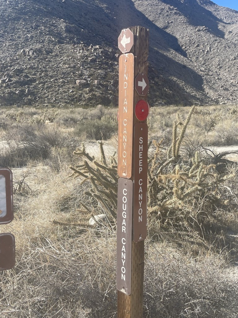
At 4.3 miles the road ended at a large turnout. There was an SUV parked there so I thought I might see someone in the canyon (I did not). I continued south on the Indian Canyon Trail.
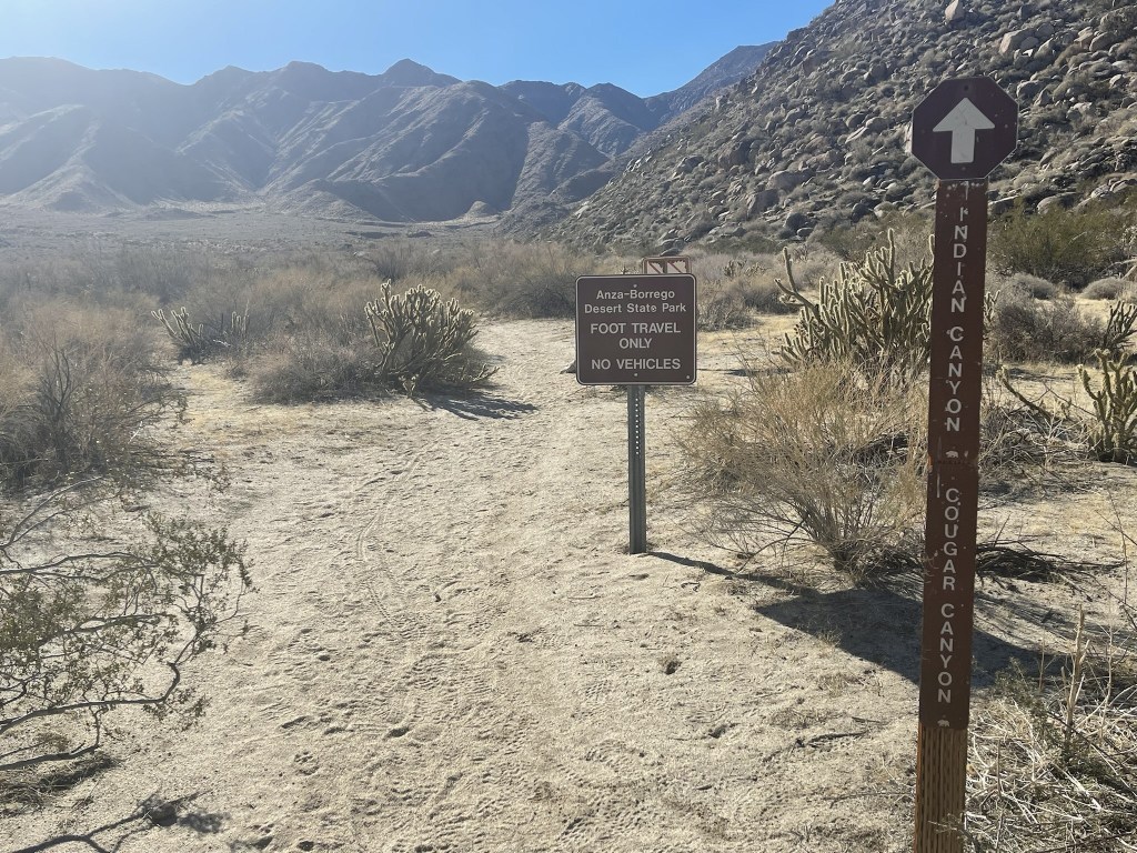
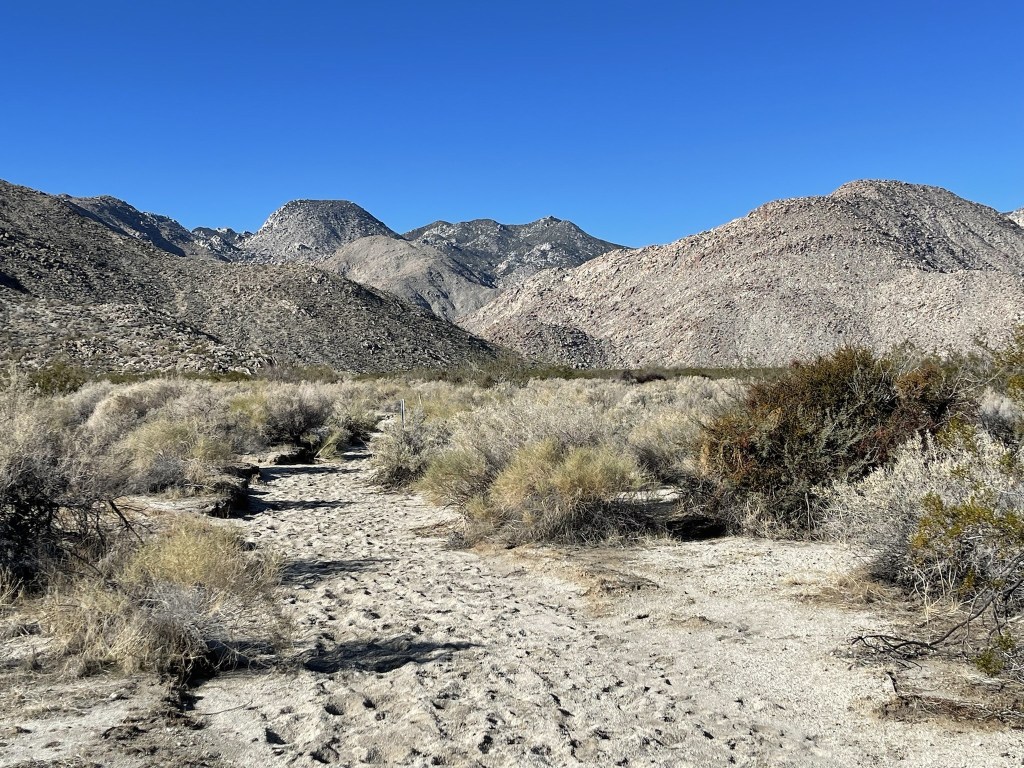
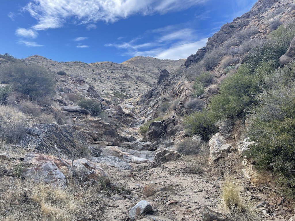
At 5 miles I passed the turnoff for Cougar Canyon (pictured below), which was off to the west. I continued south towards Indian Canyon.
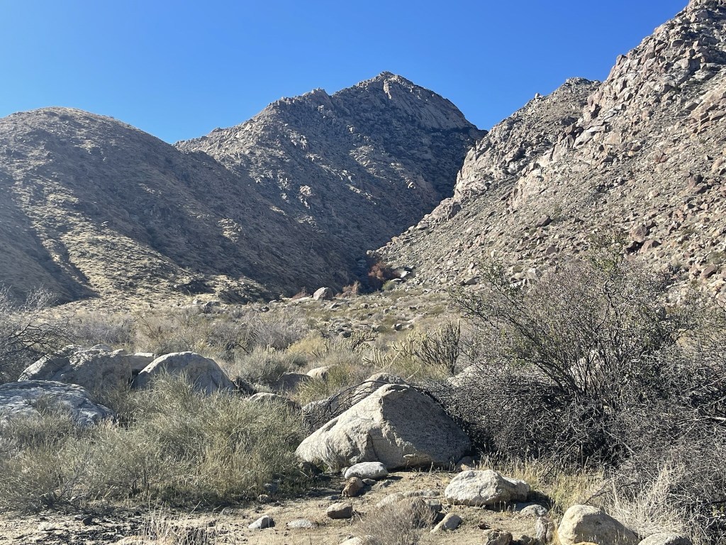
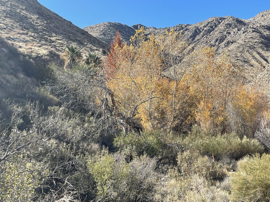
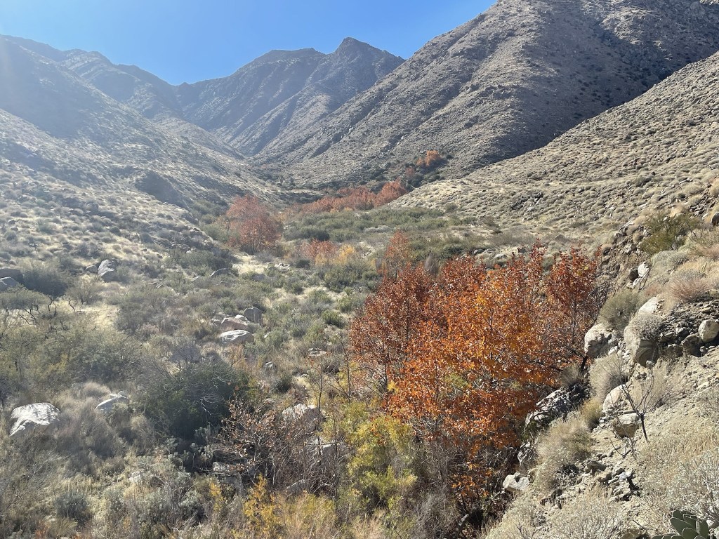
The trail turned southwest into Indian Canyon. There were some pretty colors.
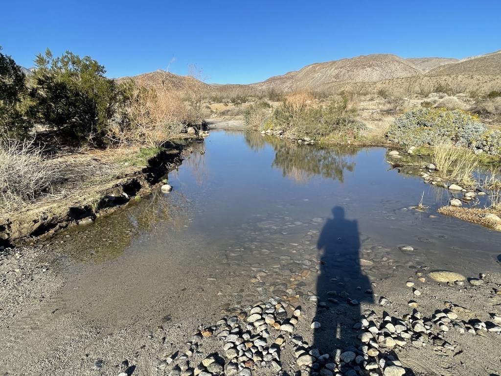
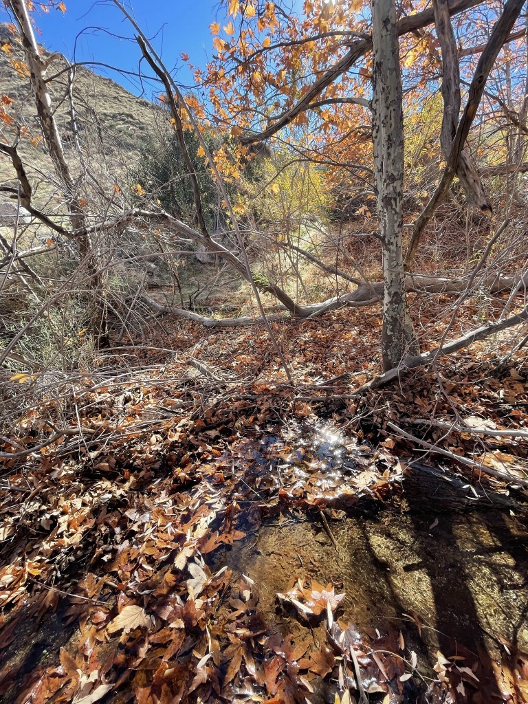
There was water flowing in the canyon.

The trail then turned south again.
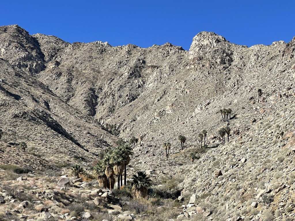
There were many palm trees in the canyon itself as well as various side canyons.
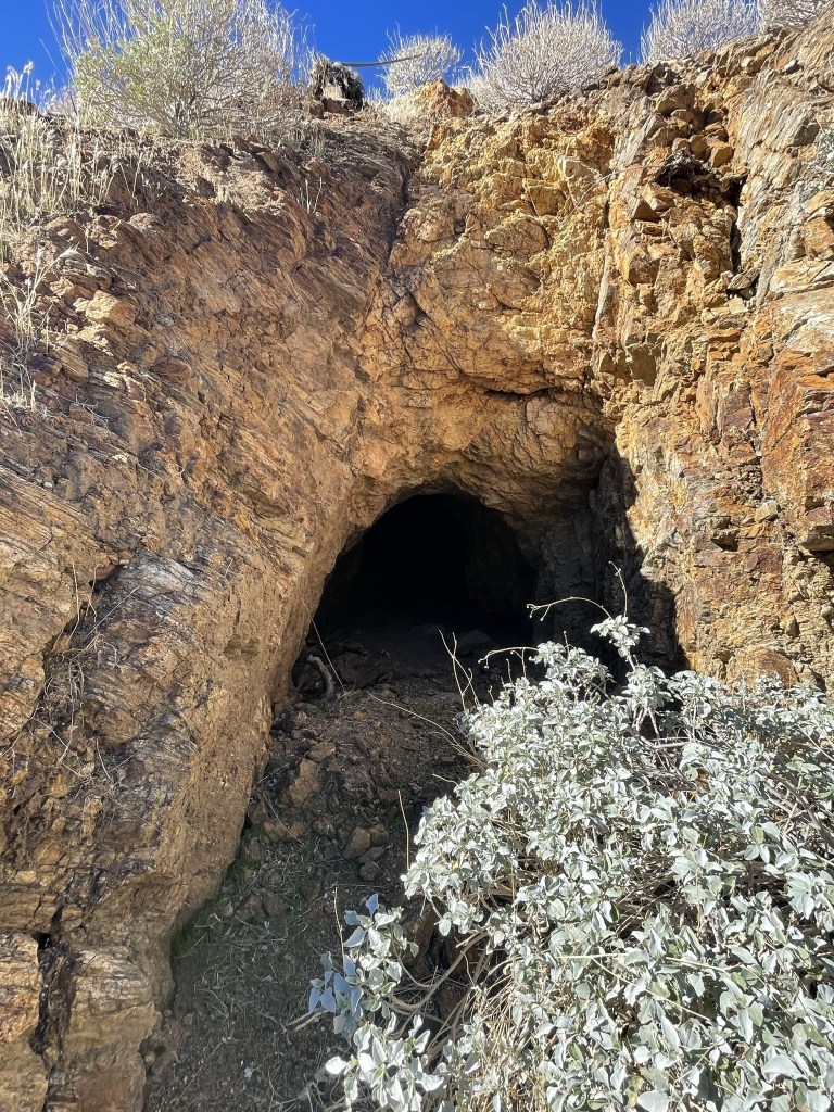
At 6.3 miles I passed an old mine.
The trail became brushier as it crossed the creek a few times.
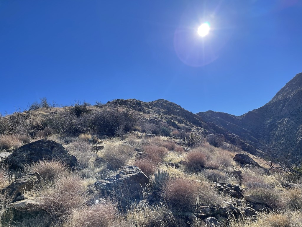
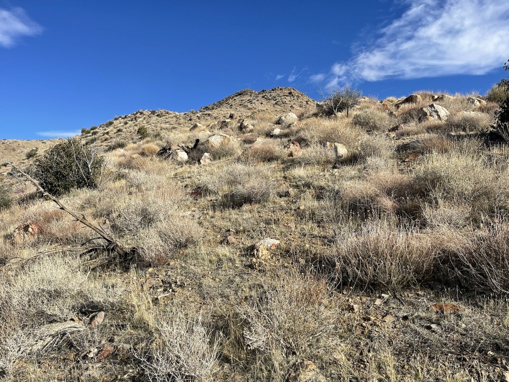
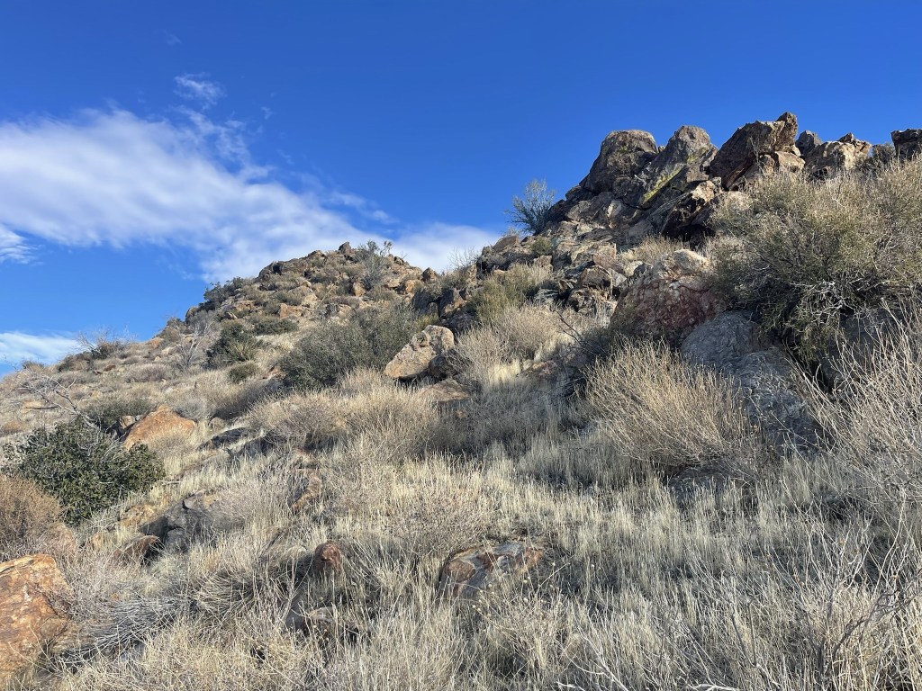
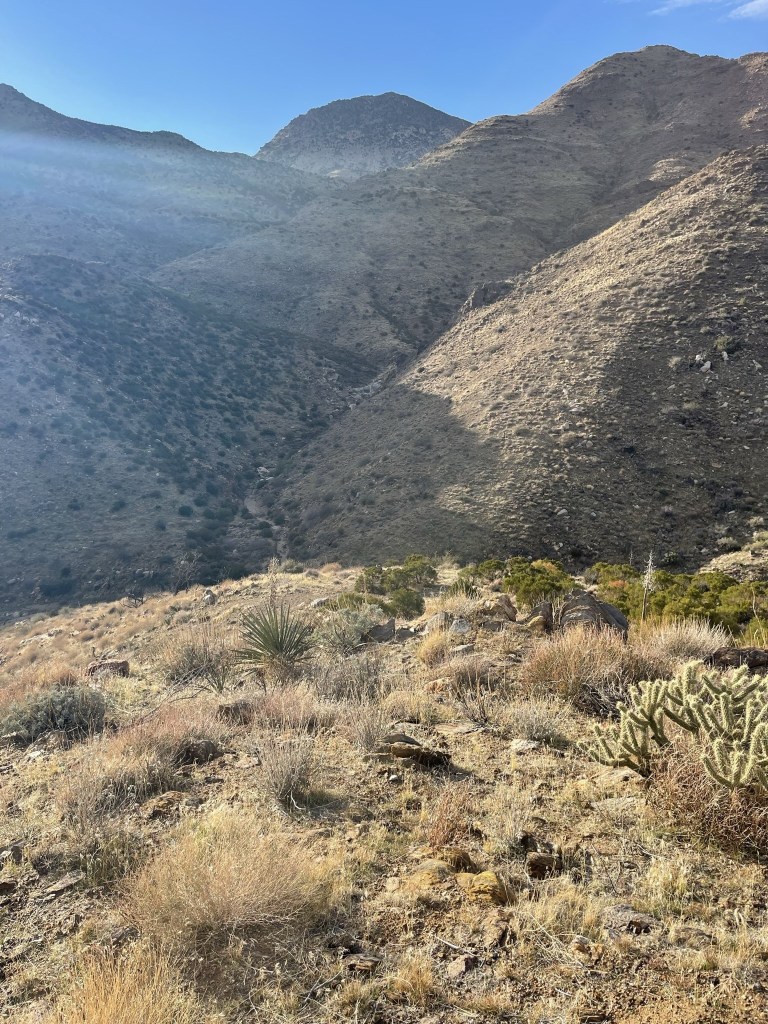
At 6.9 miles I left the canyon and began climbing directly south up a ridge. This was the most difficult part of the entire weekend since the grade was very steep and my backpack was heavy with 7 liters of water plus overnight gear.
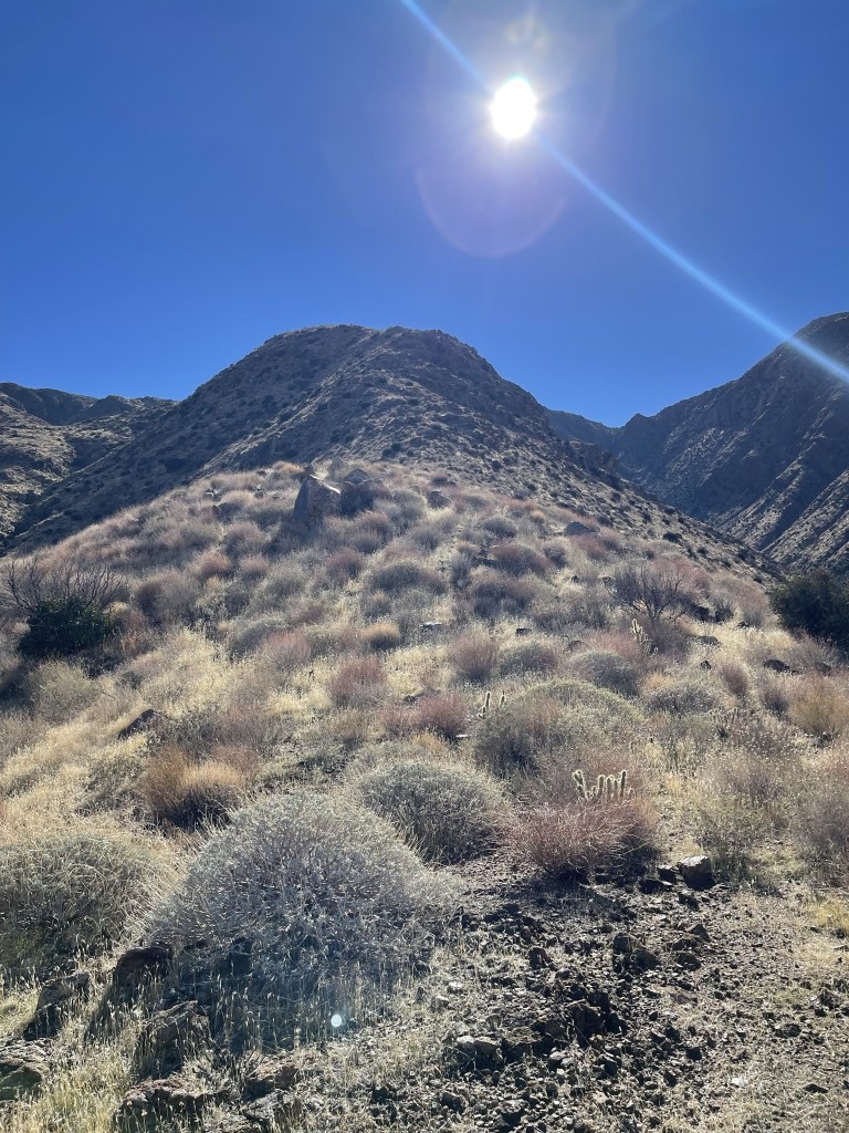
It would be about a 2000 foot climb up the ridge in 1.5 miles. It had been quite hot in the canyon but thankfully it felt cooler above 3000 feet. There was also a nice breeze as I climbed.
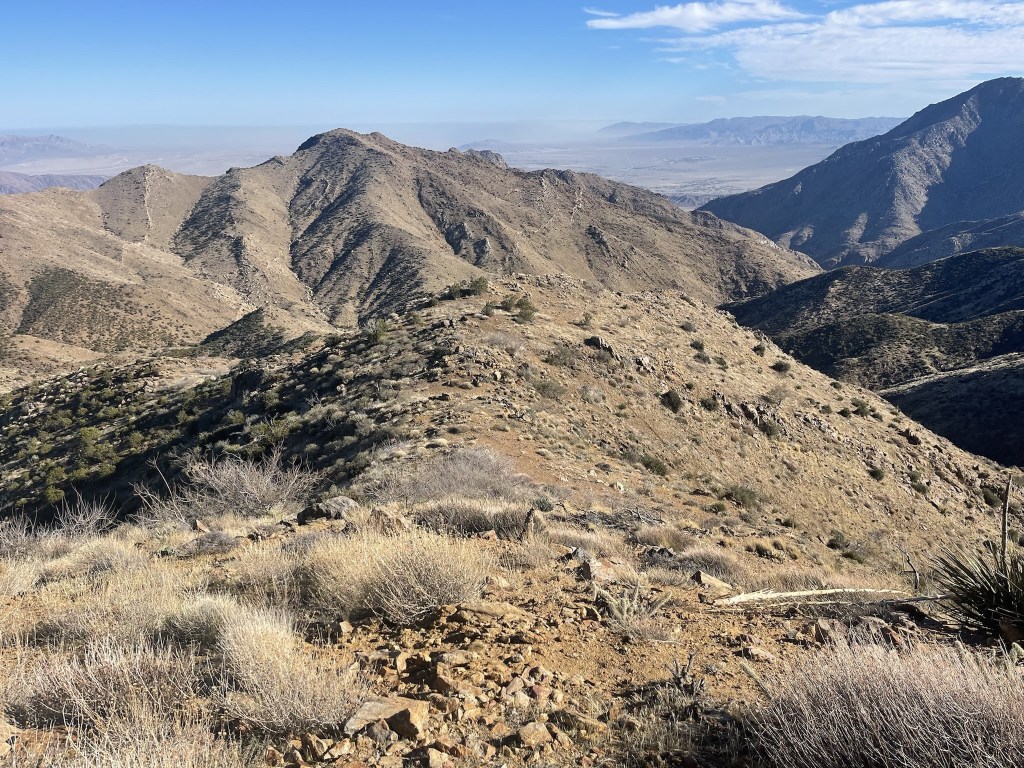
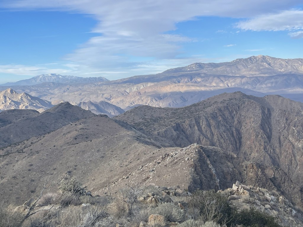
I eventually reached a flat part at the top of the ridge. Pike Benchmark can be seen on the right.
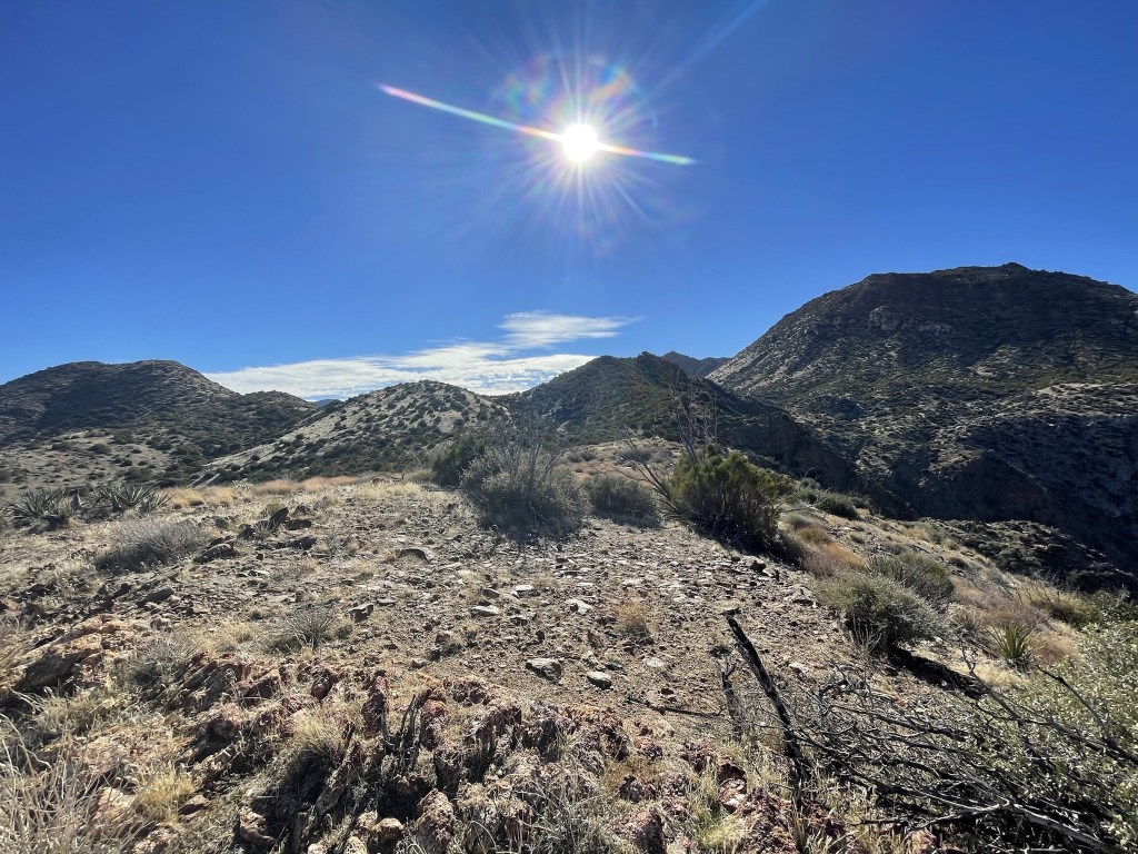
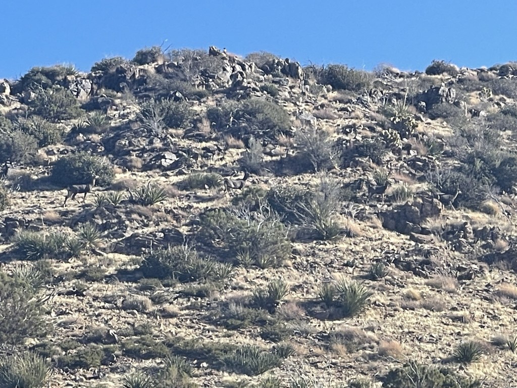
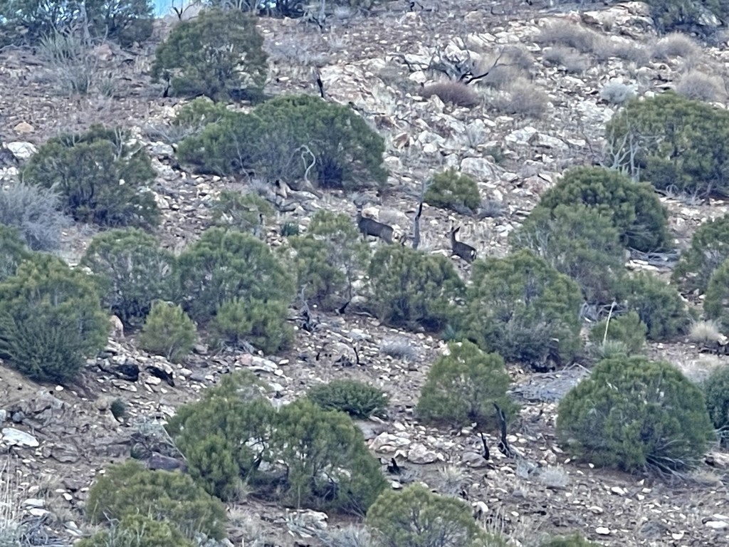
At 8.4 miles I reached a minor saddle and dropped my gear. It looked like a good spot to spend the night, so I put some food and water in my daypack and took off east towards Palm Mesa Highpoint. I first would climb over a minor hill called Deering Peak (4780 feet). The peak lived up to its name because I spotted 4 deer near the summit, including a buck.
I reached the summit of Deering Peak at 8.7 miles. From there, I followed a ridgeline as I descended into the North Fork of Borrego Palm Canyon. Palm Mesa Highpoint came into view right ahead.
It was about a 1000 foot descent into the canyon. From there, I made the steep 900 foot climb to Palm Mesa.
The steep climb was much easier without my heavy pack.
I reached the summit at 2:52pm at 10.1 miles!

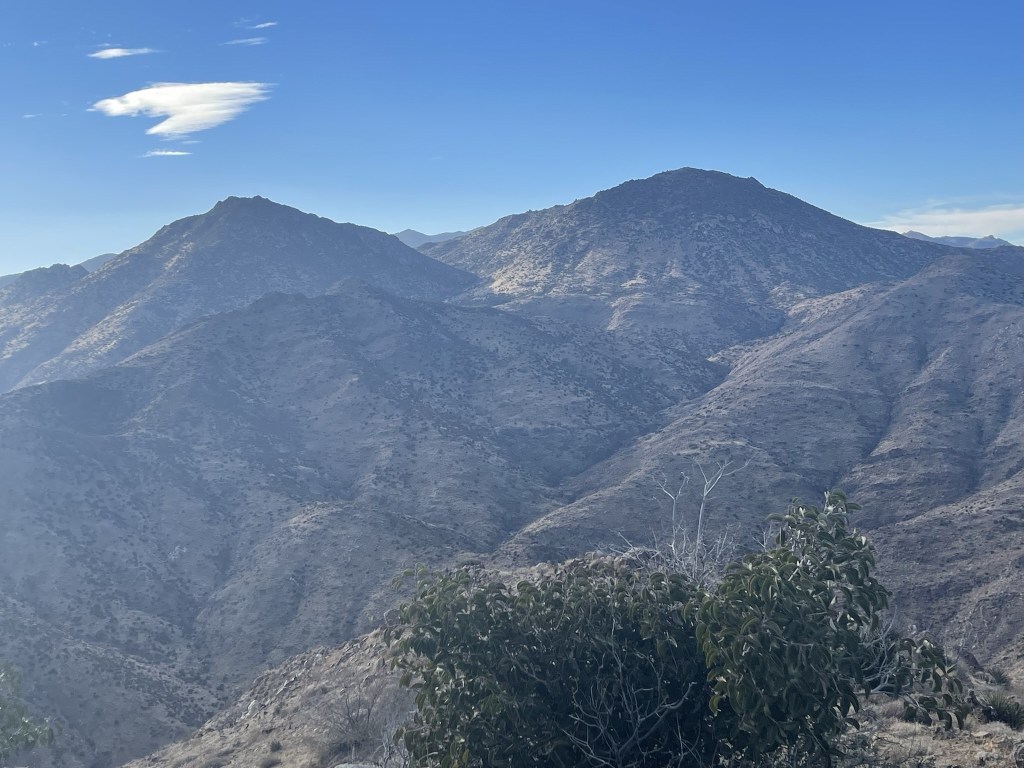
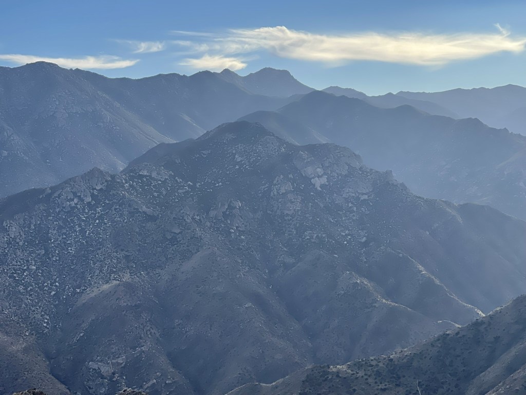
I signed the register which had been placed in 2013. The most recent entry was from December 18. I noticed that most of the entries indicated they were nearly done with the San Diego 100 Peaks List. I guess I wasn’t the only one saving these peaks for last. The views were pretty good from the summit. I could see Cody (left) and Pike (right) to the west.
Combs Peak to the northwest:
Snow-capped San Jacinto and Toro Peak to the north:
Rabbit and Villager to the northeast:
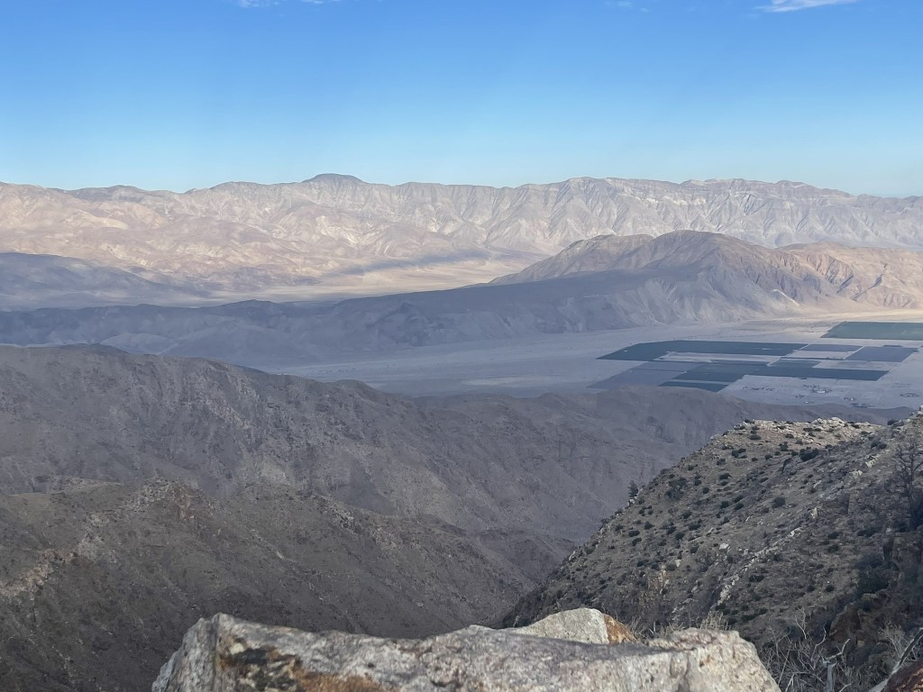
The Borrego Valley to the east:
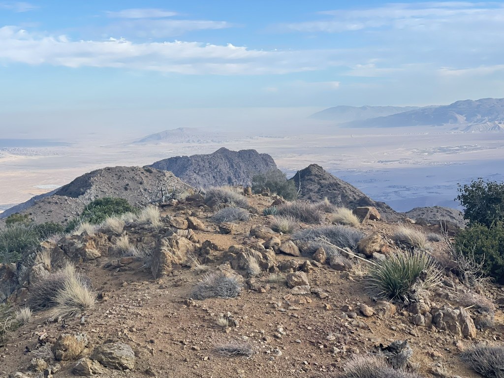
And San Ysidro to the south:
After a 20 minute break I descended back into the canyon.
I reached the bottom of the canyon at 10.8 miles. Rather than re-ascend the ridge to Deering Peak, I decided to hike directly west up the canyon and approach the saddle where I dropped my gear from the south.
There were a number of dry falls to climb up.

Several of the falls were beyond my skill to climb so I had to hike up on the right side of the canyon. Eventually I climbed out of the canyon and hiked north towards the saddle. I saw 2 more deer as I neared the end of my hike.
I reached my gear at 4:22pm. I set up my tent as I watched the sunset light up Toro Peak.

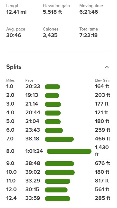
Stats for day 1 were 12.41 miles, 5518 feet elevation gain, and 7:22:18 total time.