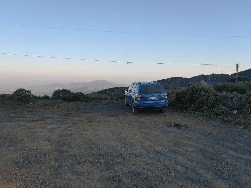
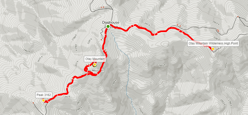
Due to an unfortunate foot injury, it had been a few weeks since my last hike. I had recently got something stuck in my foot but didn’t realize it for a few days before it got infected. After going on antibiotics, the doctor cut whatever it was out of my foot a few days later. He thought it was perhaps a piece of coral, or some kind of marine animal. I still had the stitches in my foot, but it was feeling a lot better, so it was finally time to get out for another hike. My girlfriend Alexia, and our dog Stella would be joining me. I didn’t want to do anything overly strenuous because of my foot, so I settled on driving up Otay Mountain (3566 feet) and doing a few peaks near its summit. Otay Mountain is not as well known as many other peaks in San Diego County, but it is actually the 5th most prominent peak in the county, and it looks very impressive from the surrounding area. Due to its proximity to the Mexican border, the area is heavily used by Border Patrol. There are 3 main roads leading to the top of Otay Mountain, one from the east, one from the west, and one from the north. I had actually climbed Otay Mountain 2 summers ago, walking up the length of the eastern road for a healthy 15 mile round trip hike. My primary objective for today’s hike would be a nearby peak 3551 feet above sea level. Since Otay Mountain is not included within the federal wilderness boundary (due to the many communication towers on its summit), Peak 3551 is the highpoint of the Otay Mountain Wilderness. I had recently gotten it into my head that I wanted to climb as many California wilderness high points as I could, so I figured this was a good enough reason to return to the area. We also intended to climb an unnamed peak of elevation 3162, as well as the main summit of Otay Mountain. We woke up at 4:30am and hit the road at 5. It took about 45 minutes to reach the Pio Pico RV Resort on Otay Lakes Road on the north side of the mountain. From there it was a 5.3 mile drive to Doghouse Junction on a decent gravel road. The road started out pretty bumpy but gets better after the first half mile. High clearance is recommended on this road due to the bumps and some rutting, but 4WD is not needed. We started hiking at 6:25am.
Our first objective would be the Wilderness High Point. 2 border patrol trucks drove by as we started hiking east. The drivers each gave us friendly waves.
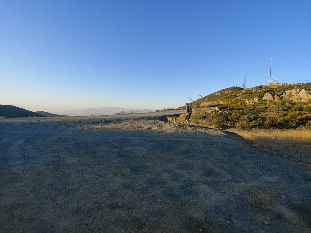
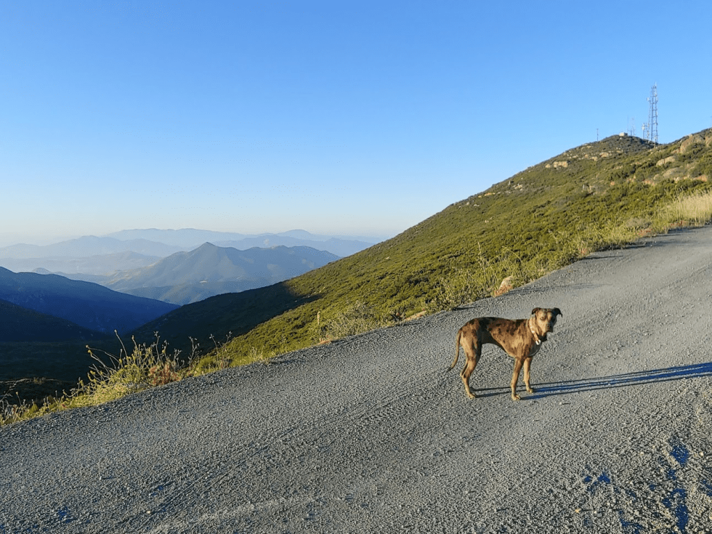
Stella led the way!
The sun was already fairly high in the sky.

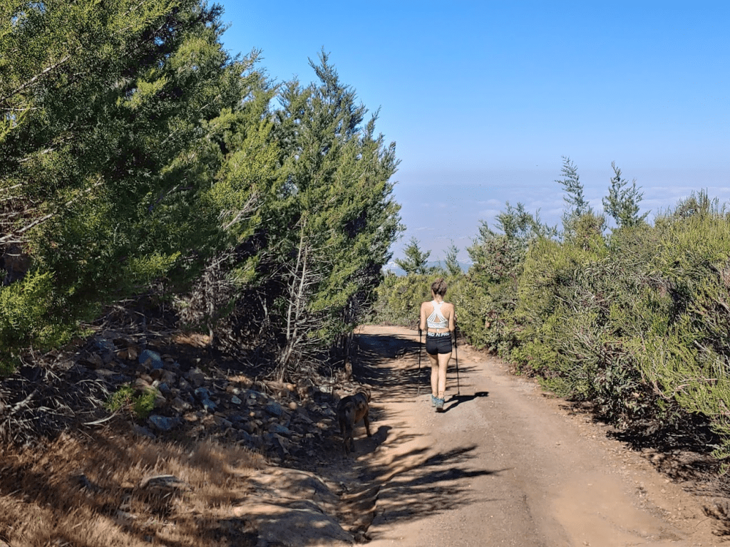
We ended up putting Stella on the leash soon after starting. I figured there would be a lot of traffic since it was a Saturday, plus it was the middle of rattlesnake season, so I thought it was best not to take any chances. We hiked for a little under a mile before turning right (southeast) off the main road. We hiked up a rough 4WD road to a flat area. Alexia noticed a bunch of shotgun shells all over the ground here. We could see the peak just a short distance away.

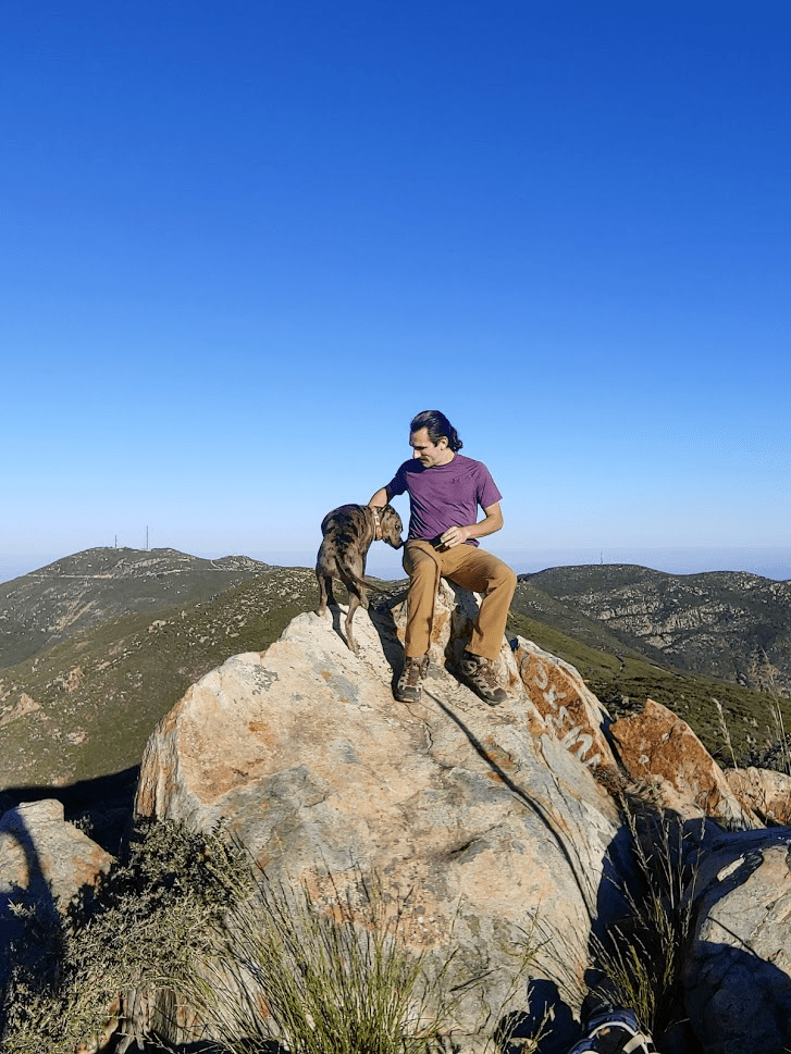
We continued up the rough road towards the peak. This part was steeper than before, but it was short. We reached Otay Mountain Wilderness High Point at 7:02am. We had been hiking for 1.29 miles so far. Stella was first on top!
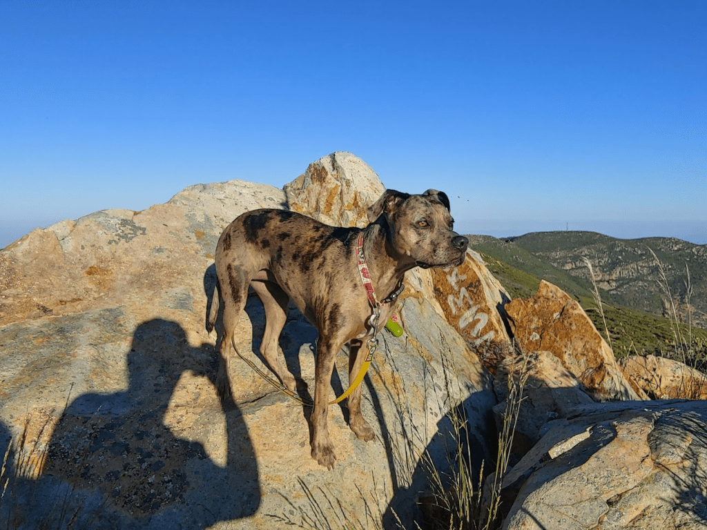
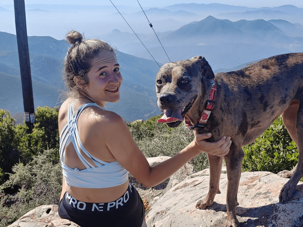
I tried to get Stella to pose for a picture with me.
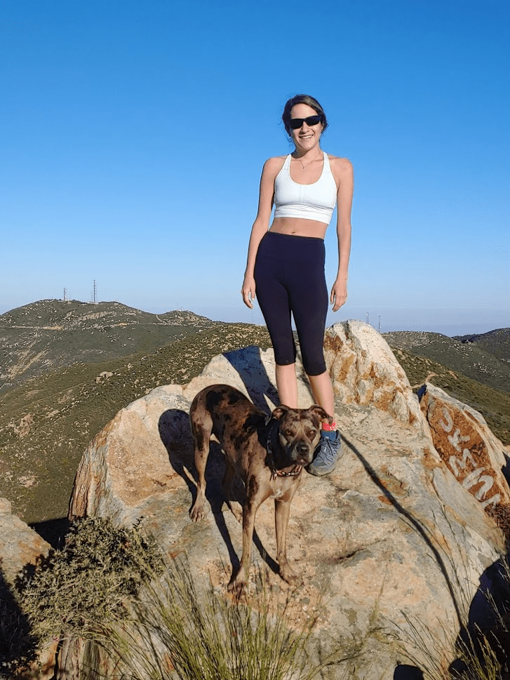
Alexia had more luck.
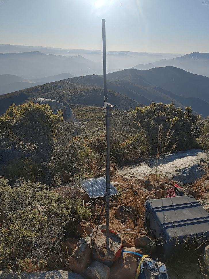
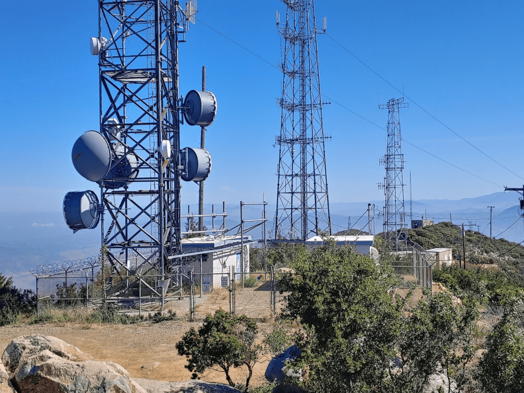
There was some weird equipment on the summit that I couldn’t identify.
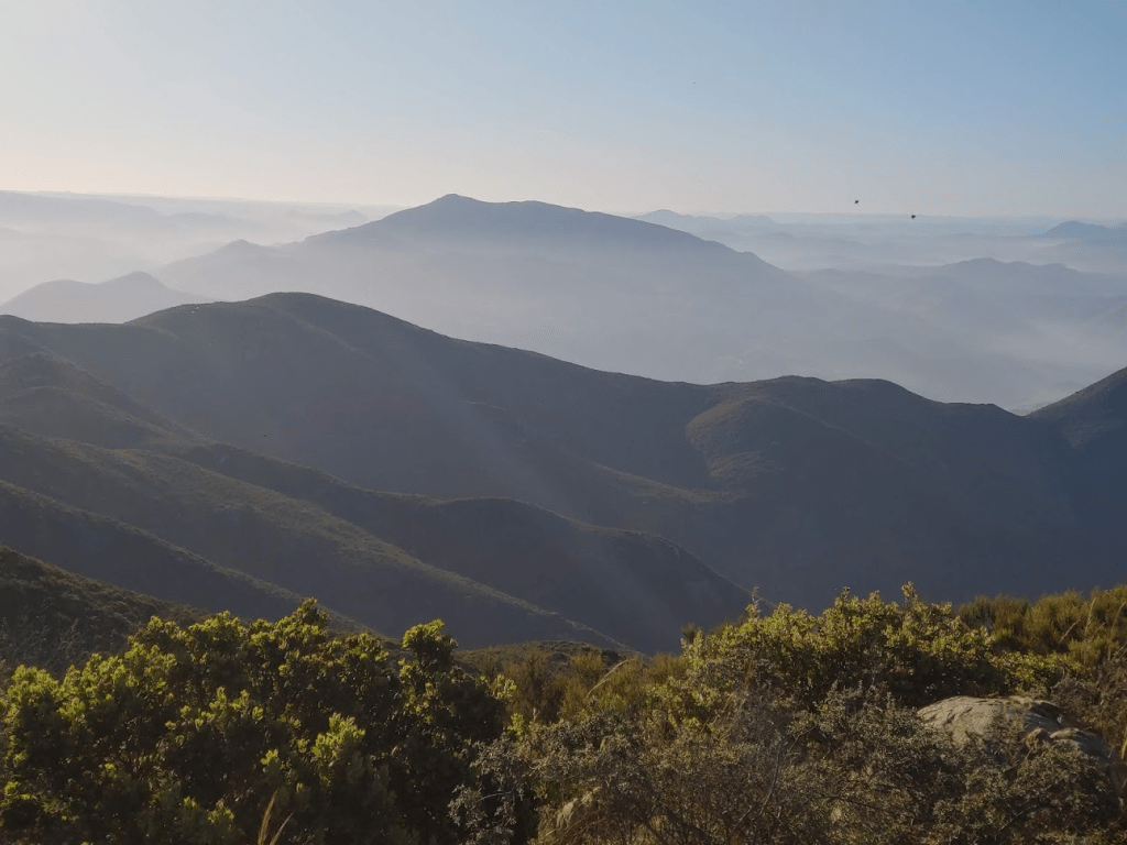
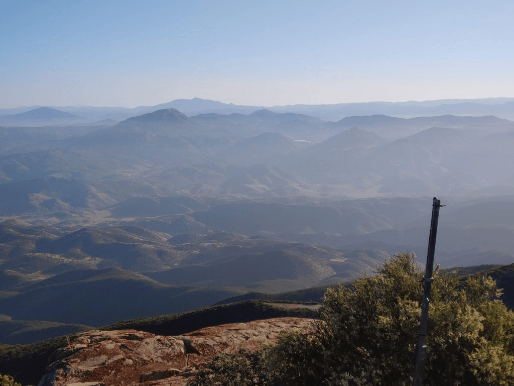
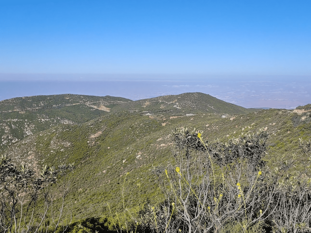
We spent some time enjoying the views, which were nice despite some haze. Tecate Peak stood out prominently to the east. Stella and I climbed Tecate in December 2018.
To the north were many recognizable peaks, such as Sycuan Peak, Lyons Peak, and of course, Cuyamaca Peak.
After 12 minutes we began descending. We proceeded back down the 4WD road to the main road.

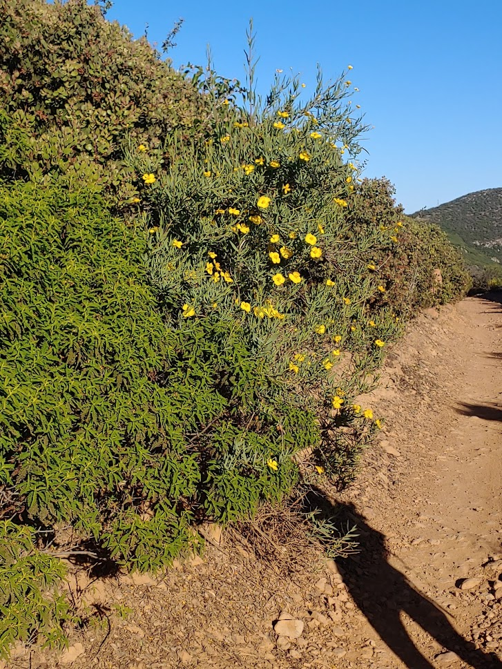
We hiked west on the road back towards Doghouse Junction. We stopped to take some pictures of pretty wildflowers here and there.
At 7:50am we reached Doghouse Junction once more. We were 2.56 miles in at this point.
We stopped quickly at the car to put away some things and kept going. We now started hiking south as we passed to the east of the main summit of Otay Mountain.
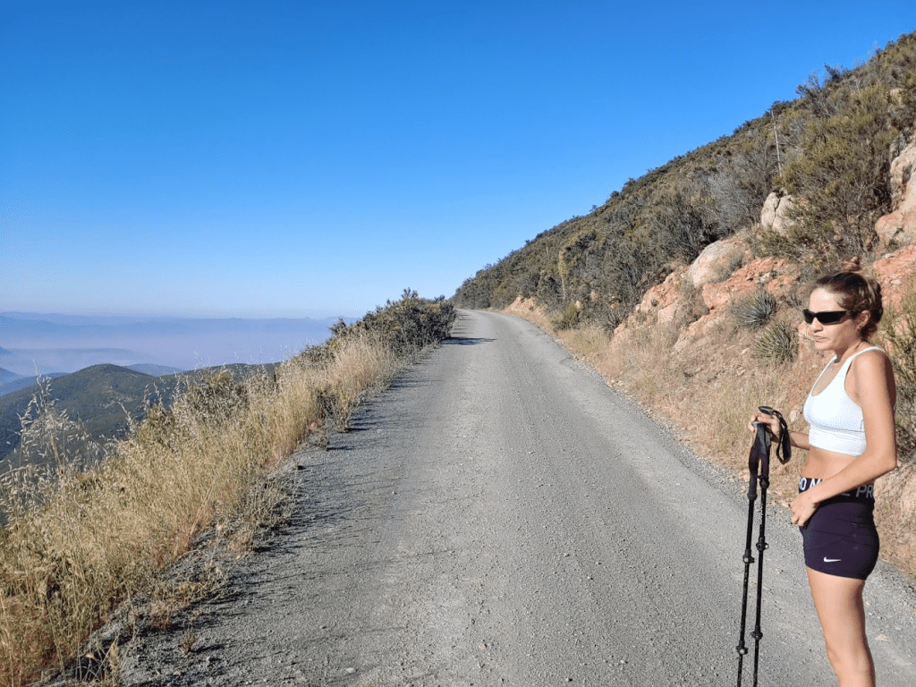
It was really starting to warm up which made me glad we started so early for Stella’s sake. We also started to see a lot of other people out and about. We passed a few more border patrol trucks, a few regular trucks, some mountain bikers, and even a runner. We passed by the spur road leading to Otay Mountain but kept going since I intended to save that for the way back. We could see Peak 3162 in the distance.
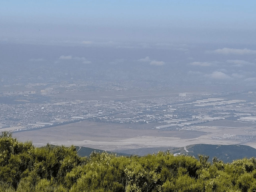
As we got near Peak 3162, we left the road to climb up to the peak. It was steep, but it was a very short bushwack. We reached the peak at 8:30am after 3.89 miles. We had a nice view here of Tijuana. The border wall was very visible, even from so high up.
The main Otay Mountain summit was just a few miles northeast.
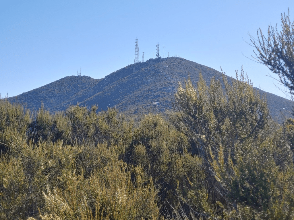
We took a very short break before climbing back down to the road. Stella had a sneezing attack which concerned us a little, but we figured she just had some tall grass go up he nose or something. We passed more trucks and mountain bikers as we hiked northeast towards Otay Mountain. I could tell the heat was getting to Stella at this point, so I was glad we didn’t have much further to go. We soon reached the spur road to the summit.
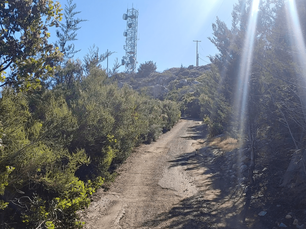
At 9:10am we reached the top of Otay Mountain! We were at 4.97 miles so far.
We climbed up onto the highest rocks and rested for a little while. With so much prominence, you would expect the views to be superb, but unfortunately the summit is littered with communication towers which block the view.
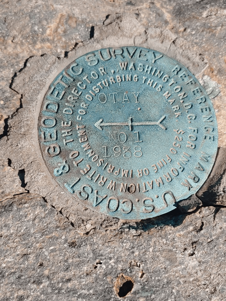
I poked around for a bit to look for survey markers but only found Reference Marker No. 1
We had a biker and 2 other hikers join us at the summit. I’m not sure if you can really call them hikers though as we saw their truck parked at the start of the summit spur road. It was a little over a mile hike to get back to the car.
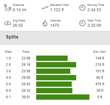
We reached the car at 9:55am. This hike totaled 6.14 miles, 1211 feet elevation gain, and 3:35:09 total time.
It was definitely a great way to spend a Saturday morning!

