Onyx Peak (9113 feet) is a peak on the Sierra Club HPS List in the eastern part of the San Bernardino Mountains near Highway 38. I was spending the weekend up in Big Bear with my girlfriend, Alexia and our dog, Stella, and we decided that Onyx would be a nice peak for the 3 of us to tackle together. We were in the middle of some very warm and humid August weather, so I wanted to get as early of a start as possible for Stella’s sake (she doesn’t do well in the sun). We left our cabin in Big Bear Lake around 5:30am and made the quick 20 minute drive to the trailhead for Onyx, which is a large dirt turnout on the side of the highway. We started hiking at 6am from 8401 feet.

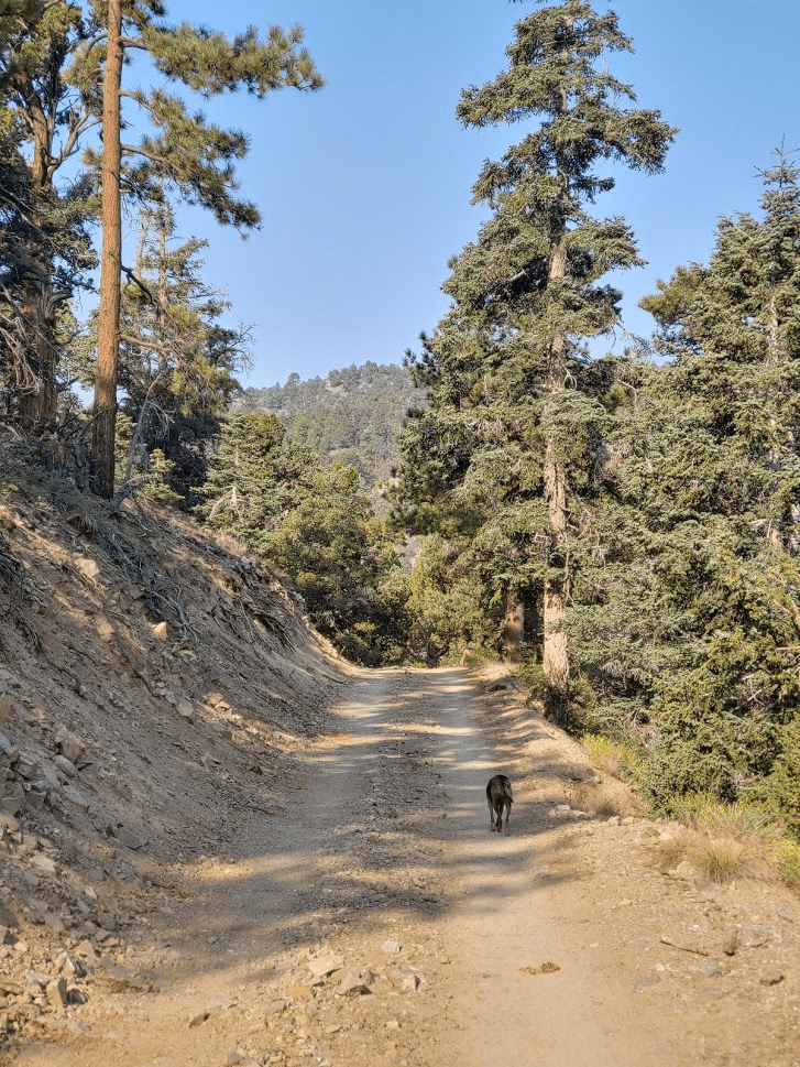
The “trail” is a 3 mile dirt access road to the summit. A large white gate blocks vehicular access for the public, but it was clear the road sees regular use from maintenance vehicles (there are communication towers/equipment on top).

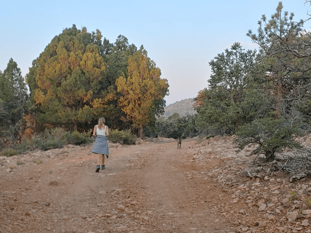
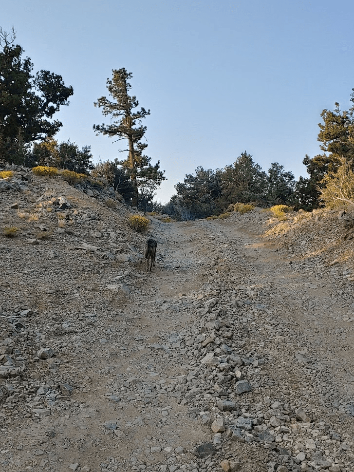
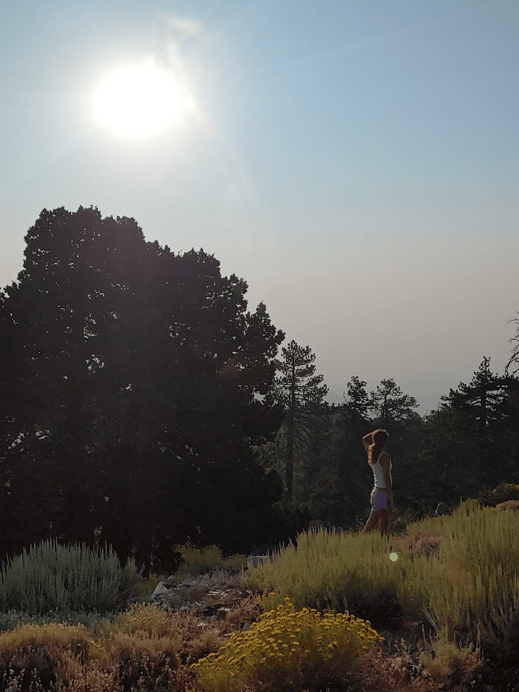
It was nice and cool so early in the morning. Stella was loving it, so she led the way as we tried to keep up.
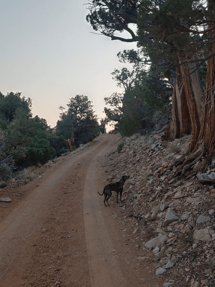
The road initially heads north until reaching a sharp 180 degree bend at 1.39 miles. The road crosses an unmarked trail just before the bend (I later realized this was the Pacific Crest Trail). The slope of the mountain initially blocked the sunrise to the east. As we reached the bend, we got our first glimpse of the sun at 6:34am.

After the bend, the road continues south towards the summit.
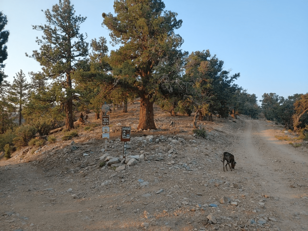
I noted that the surroundings were very desert-like compared to the area around Big Bear. Onyx Peak must be right in the transition zone between forest and desert. At 1.96 miles we reached a fork and went right.
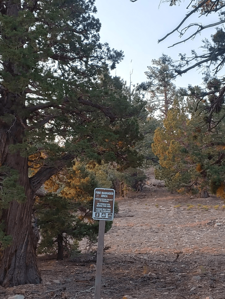
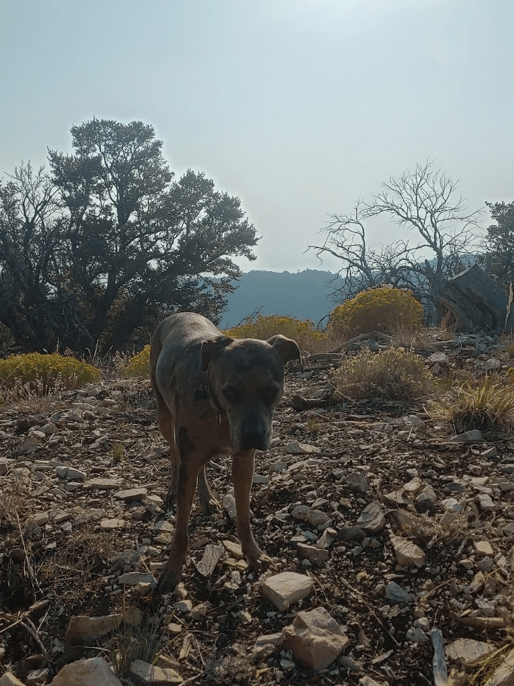
I noticed many “fire damaged area” signs off to the side of the road.
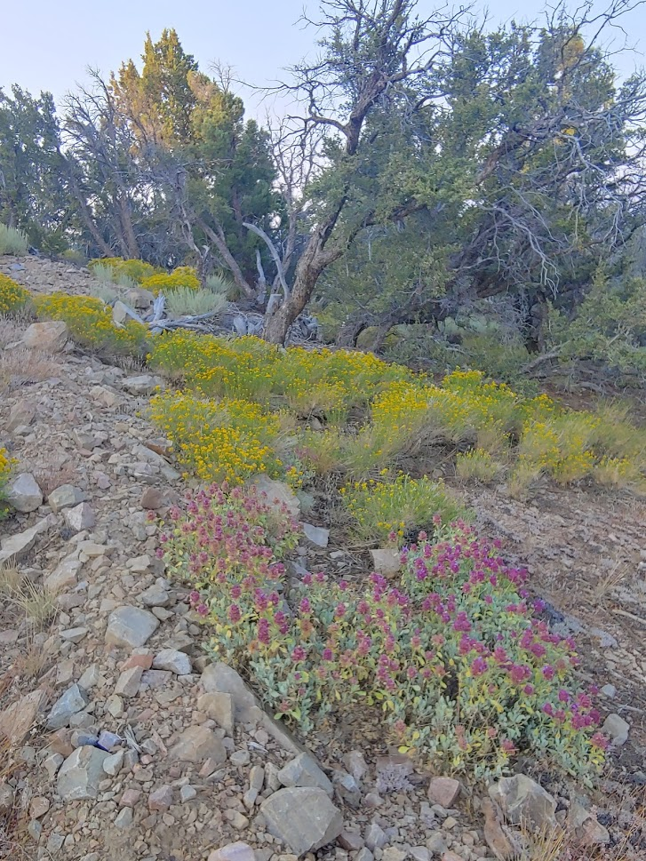
As we got near the top, we saw some pretty yellow and purple flowers off to the right.
The road steadily gains elevation the whole way but never is too steep.
We reached the summit at 7:15am after 3.1 miles!
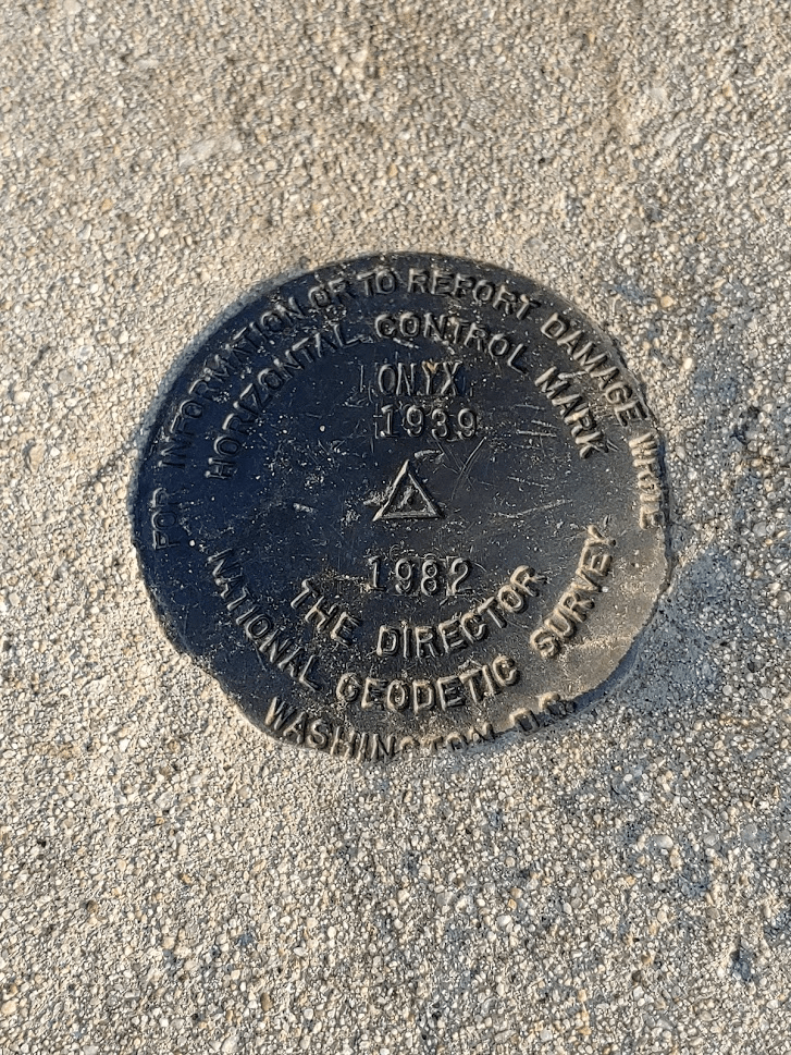
I searched around a while for a register but did not find one. I did locate a benchmark and reference mark #3. We were a bit confused that they showed 2 dates on them, 1939 and 1982.

The summit area was covered in communication towers and construction equipment. Definitely an eyesore.

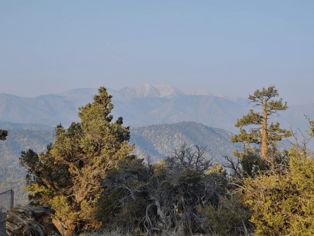
It was very hazy, so we didn’t have any views east towards the desert. The lack of views was a bummer, but it made the sun less intense which was good for Stella.
I was able to get some decent pictures of 11,503 foot San Gorgonio through the haze to the southwest.
We spent about 30 minutes on the summit before heading down.

We took the same route down that we came up. At 4.43 miles we made a small detour to Peak 8905. This is a very minor Peakbagger peak less than a tenth of a mile off the road. Stella enjoyed the minor summit.
We quickly climbed back down to the road and continued the descent. We made pretty good time.
We passed a group of 2 on their way up near the bottom. One of them was dressed head to toe in camouflage. Once we got near the highway, we noticed a large group all dressed in orange and a bunch of Sheriff vehicles near my car. We wondered if there was a rescue operation going on. More likely, they were doing some kind of drill. We reached the car once more at 9:04am. This hike totaled 6.75 miles, 709 feet elevation gain, and 2:59:39 total time.


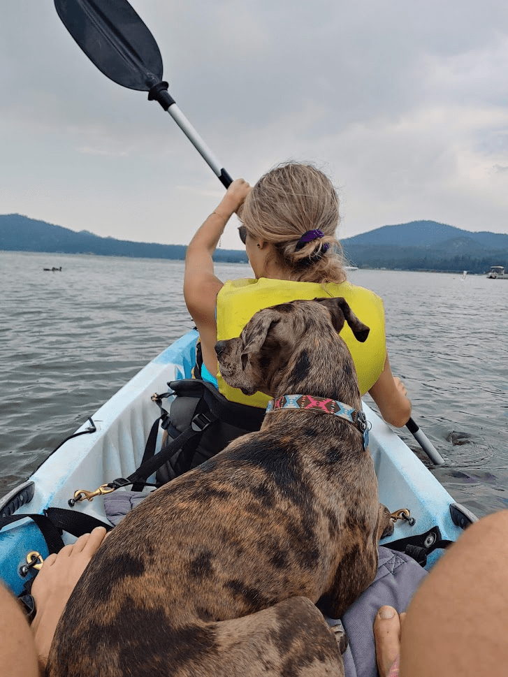
The rest of our day was very enjoyable. The 3 of us explored the village and even went kayaking!