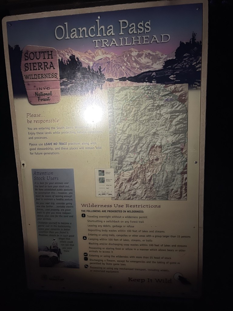
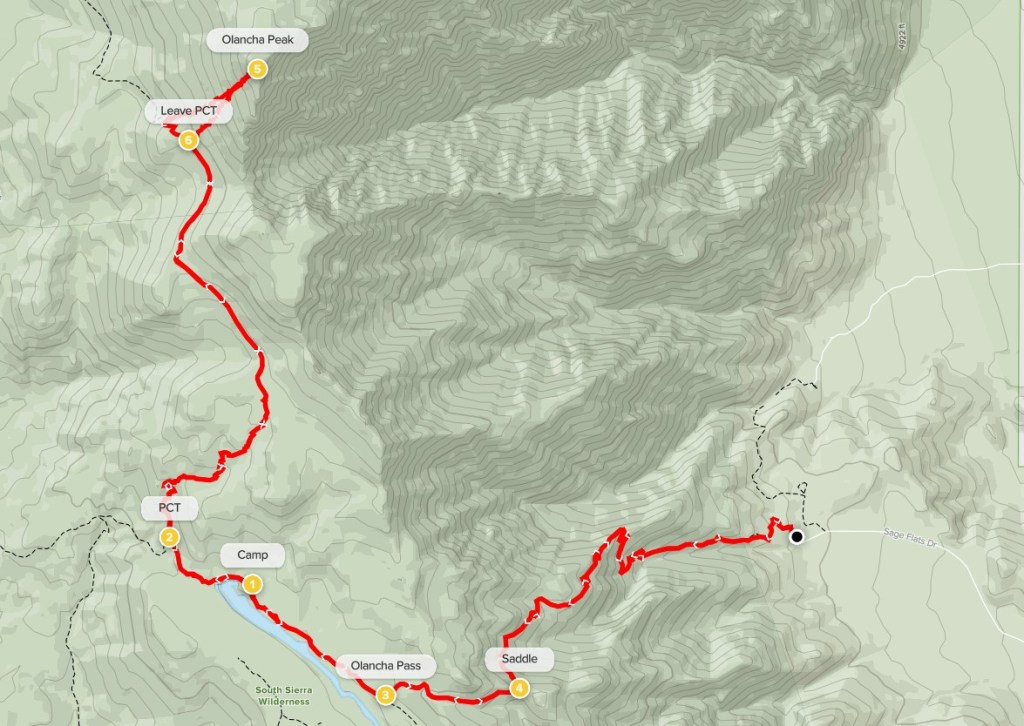
Olancha Peak is a 12,123 foot peak along the Sierra Crest in the southern part of the Sierra Nevada. It is the high point of the South Sierra Wilderness and is one of the most prominent peaks in the whole Sierra. In fact, it is one of only 5 peaks on the SPS list with >3000 feet of prominence. It is also the southern-most 12,000 foot peak in California. When driving north on US-395, it is the first major Sierra peak you will see. The trailhead lies at the end of Sage Flats Road southwest of the town of Olancha. Sage Flats road can be accessed from the 395 and is half paved and half well graded dirt. It should be possible for any passenger car to reach the trailhead. The standard route involves about 22 miles and over 6000 feet of elevation gain, so I wanted to get an early start. I had car camped at Horseshoe Meadow the night before, so I woke up early and made the 1 hour drive to the Olancha Pass Trailhead. It was still pretty dark when I arrived, but I had just enough light when I got started. I began this hike at 4:54am from 5831 feet above sea level.
It was already 74 degrees when I started, so I knew I wanted to get as high as possible before the heat of the day set in. The trail began by heading west into the foothills.
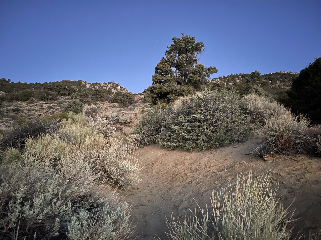
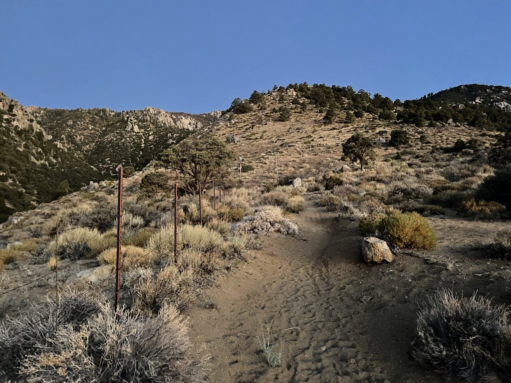
The trail paralleled a barbed wire fence for a short way.
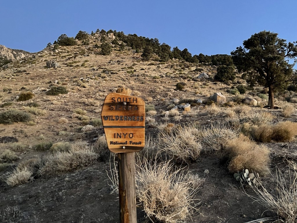
At 0.4 mile I passed a wilderness sign.
At 0.6 mile I passed through an open gate.
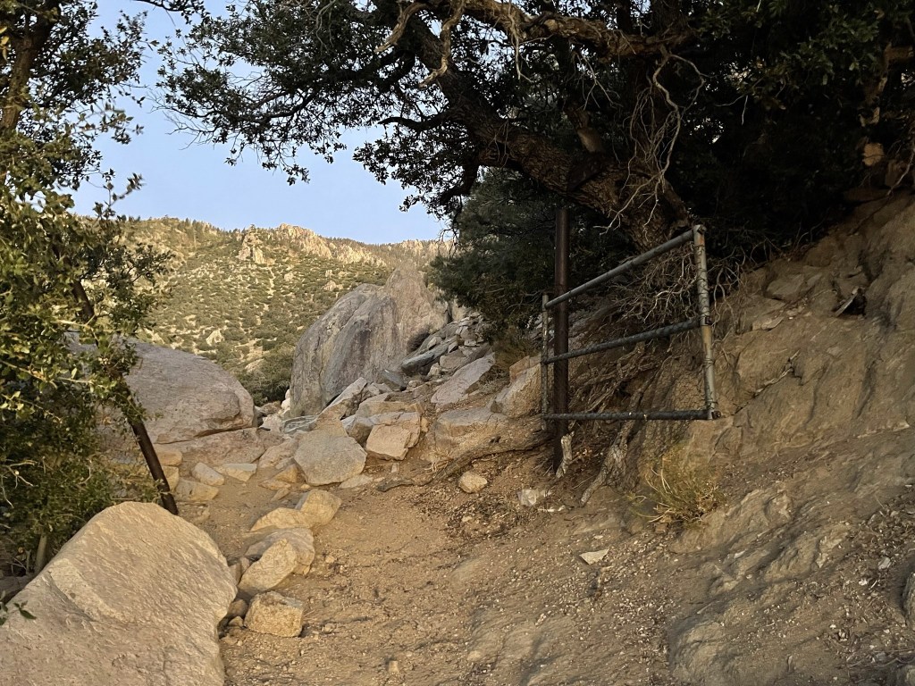
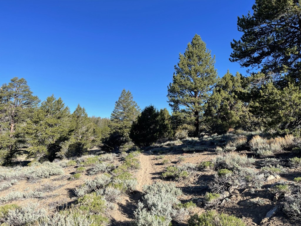
Beyond the gate the trail continued west heading up the right side of a large canyon.

This canyon is actually used to run cattle from the desert to their summer pastures in the Sierra. At some point the route splits into a cow driveway and a hikers trail. The cow driveway is more direct and steep, while the hikers trail contains switchbacks and generally stays on the right side of the canyon. I missed the turnoff on the way up, but thankfully ended up on the hikers trail.
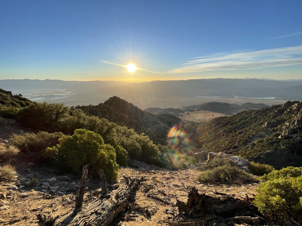
At 5:36am the sun began to rise above the Inyo Mountains to the east.
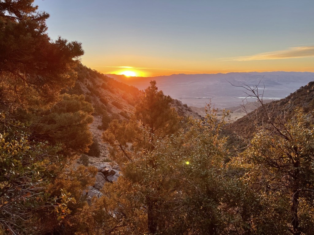
I continued up the canyon as the warm light of sunrise brightened up the hillsides.
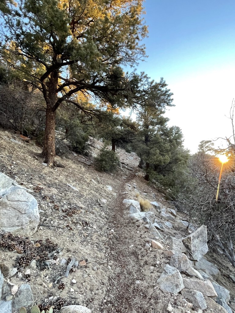
The trail was continuously steep, so I gained elevation in a hurry.

Soon the sun was fully up, and the day began to get warmer.
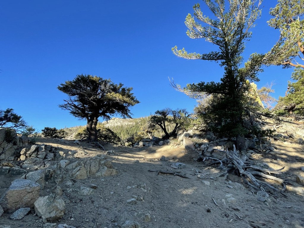
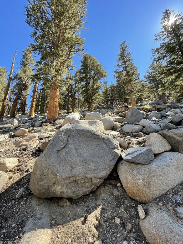
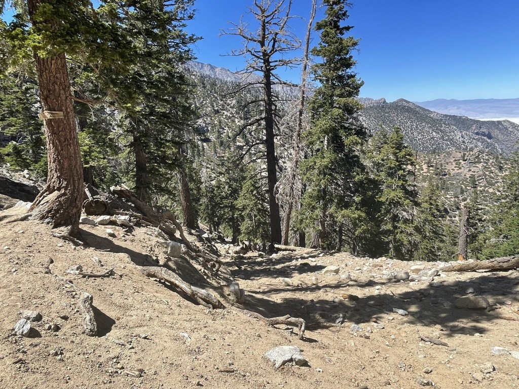
The canyon became more forested as I climbed higher.

I hiked around a large tree blocking the trail at 3.8 miles.

At 3.9 miles I reached a minor saddle.
The cow driveway rejoined the hikers trail at the saddle. The trail turned northwest at this point. The path was much wider, but it was still pretty steep as I neared Olancha Pass. There were also cow pies everywhere.
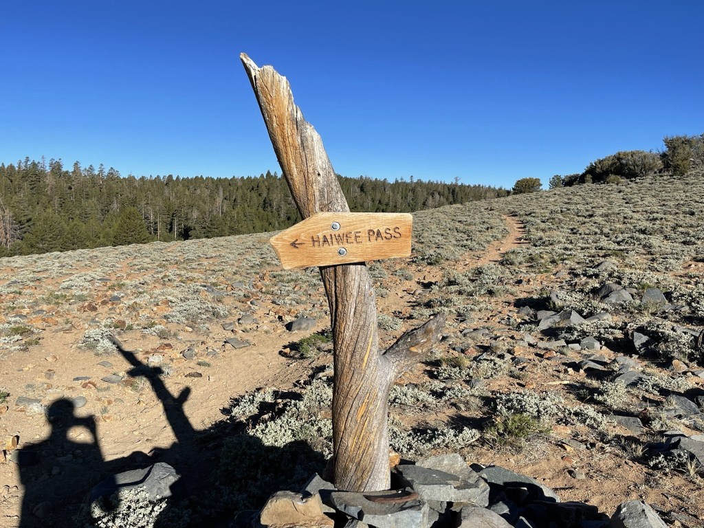
At 4.8 miles I reached Olancha Pass at 9215 feet. I had already gained about 3400 feet up this point. Another trail led south from here towards Haiwee Pass.
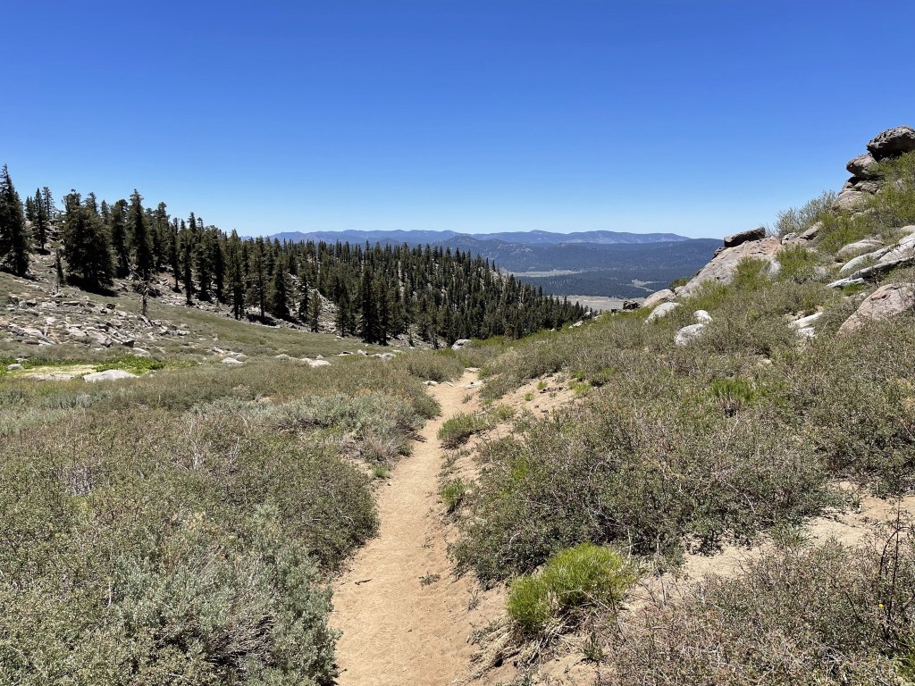
I continued northwest away from Olancha Pass. This section of the trail was pretty flat.
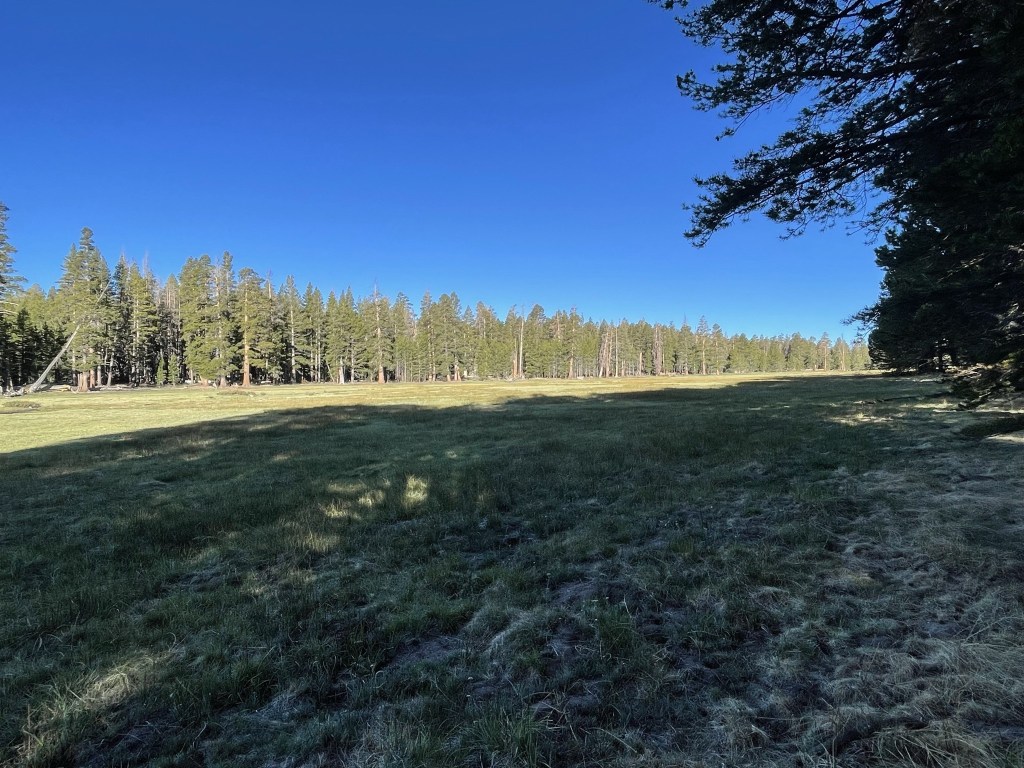
At 5.6 miles I reached Summit Meadow. Some hikers choose to spend the night here if doing Olancha over 2 days.
At 6 miles I reached a campsite for cattle drivers. There was a table and a fire pit.

Near the campsite was a large corral.
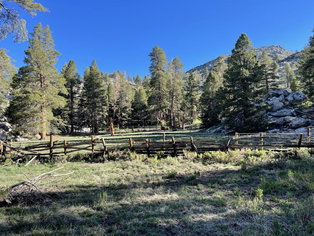
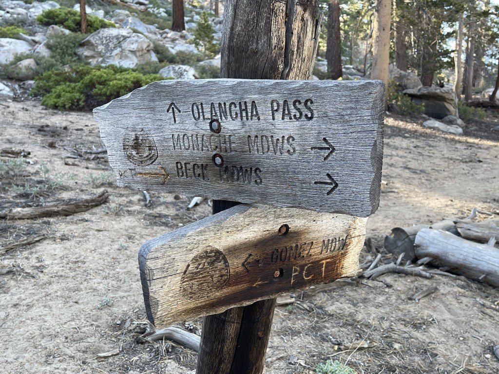
Thankfully, all the signs of cattle usage stopped beyond the campsite. It definitely ruins the wilderness experience if you ask me. At 6.3 miles the trail split into north and south PCT connector trails. I went right towards the northbound PCT.
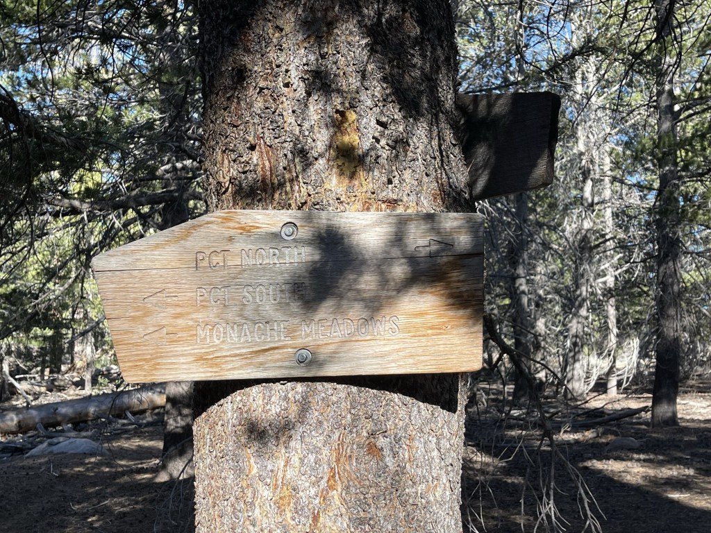
I reached the PCT at 6.7 miles. I was at nearly the same elevation as Olancha Pass so still had about 3000 feet to go. I turned right to begin heading north towards the peak.
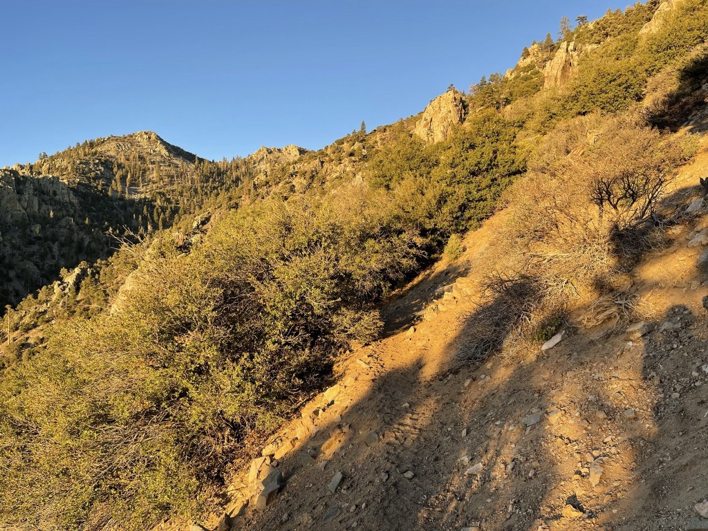
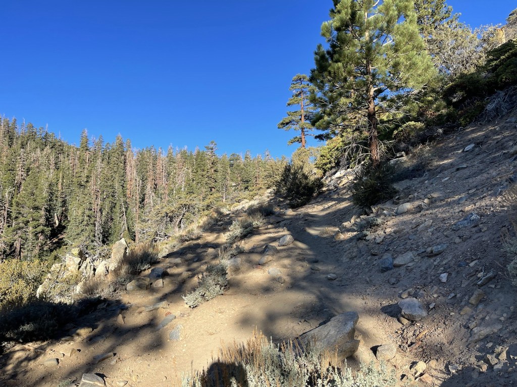
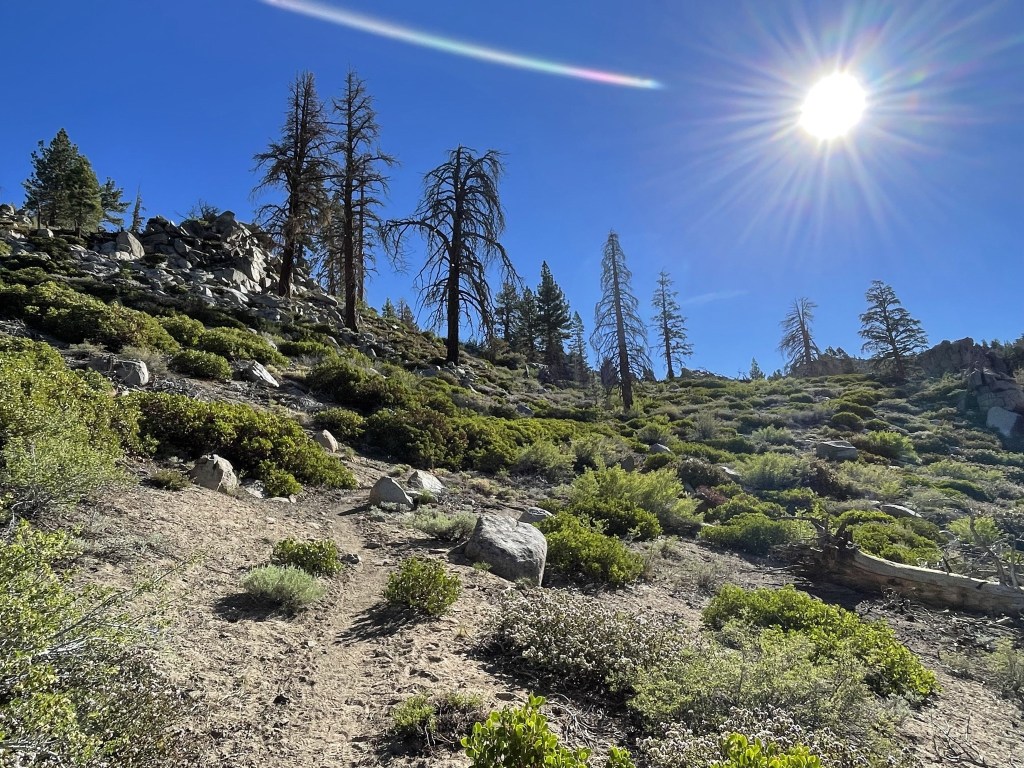
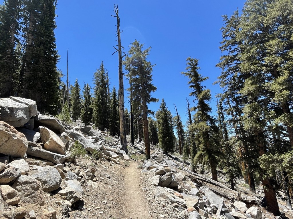
The next section looked like it may have burned in recent history as it was mostly just brush with a few dead trees still standing. The trail began to steadily gain elevation again.
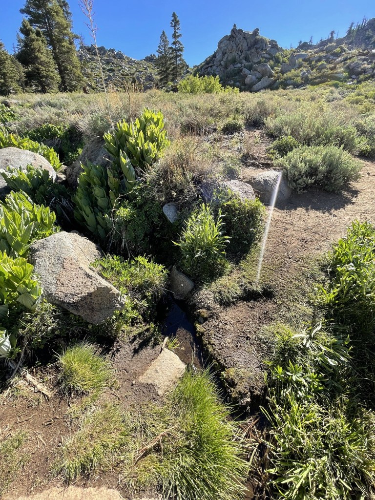
I crossed a tiny little creek at 7.7 miles.
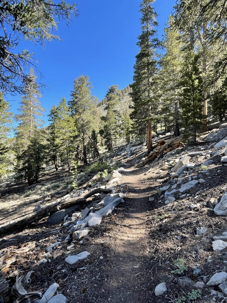
I started to pass some PCTers just getting their days started (it was still pretty early). I saw one girl packing up her camp and I saw 2 tents a bit further up whose owners must still have been sleeping. I soon was in the woods again.
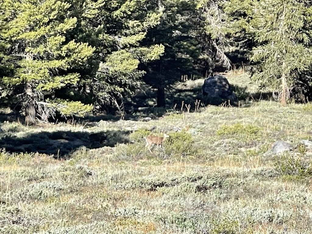
At 8.6 miles I saw 2 deer down the slope to my left. One of them is in the shade below so is a bit difficult to see.
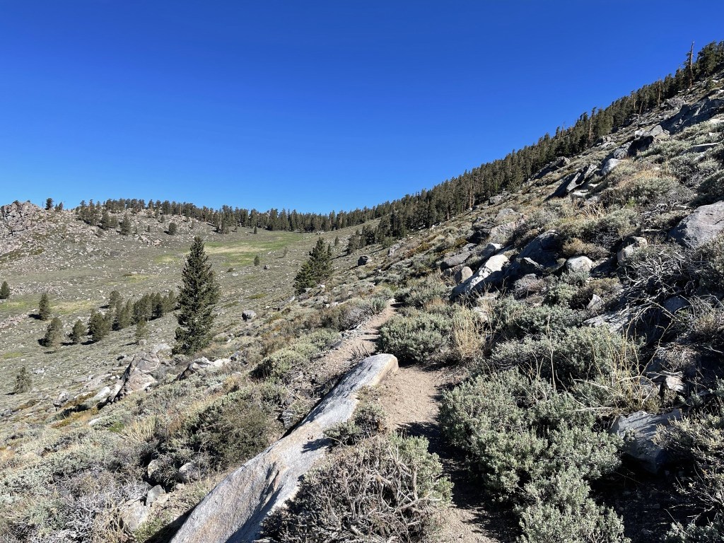
I continued north along an open hillside.
I saw a few purple flowers.

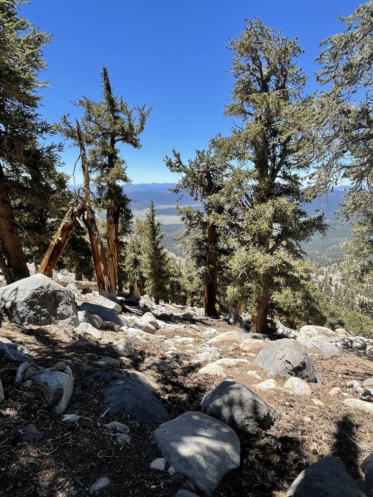
At 9.4 miles the trail bent to the northeast and I got my first look at Olancha.
At 10.2 miles I left the trail to begin the final climb to Olancha. I was at 10577 feet, so I still needed to climb over 1500 feet in 0.8 mile.
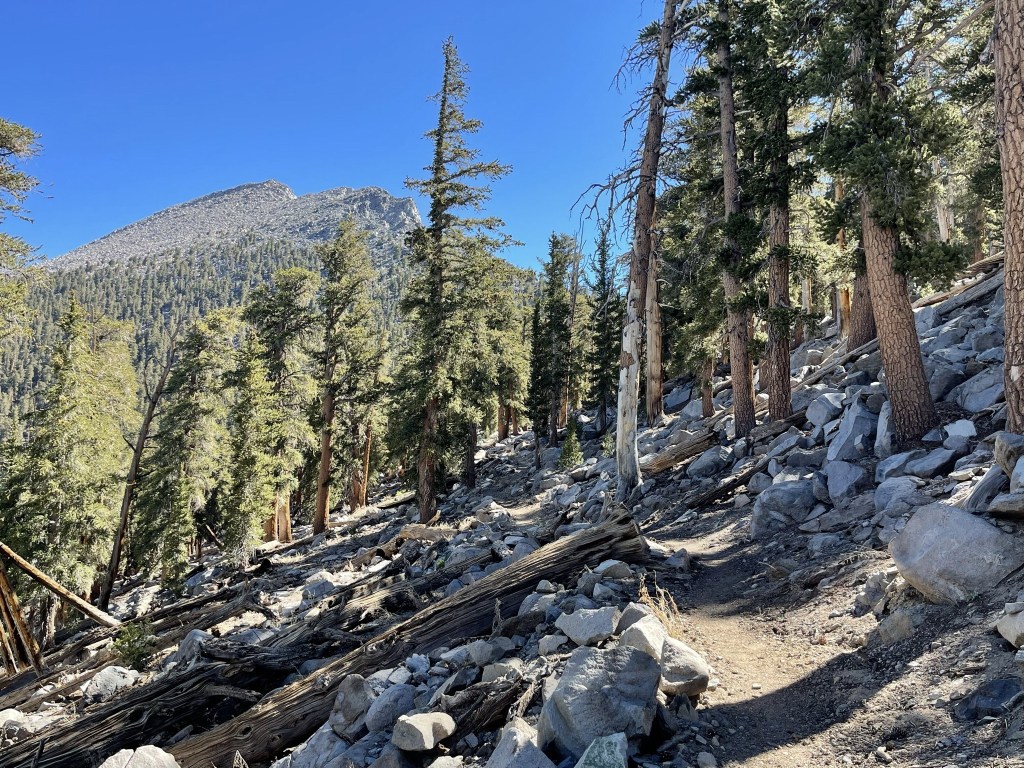
I made my way northeast up the forested slope.
The trees thinned out as I climbed higher.
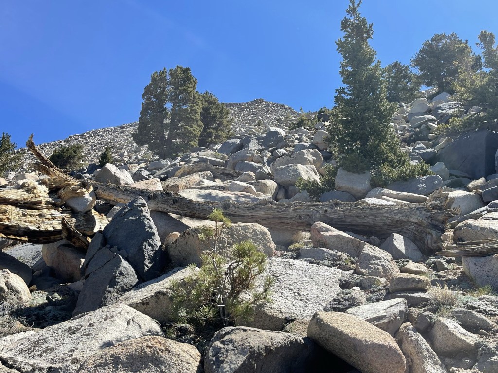
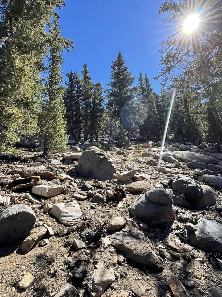
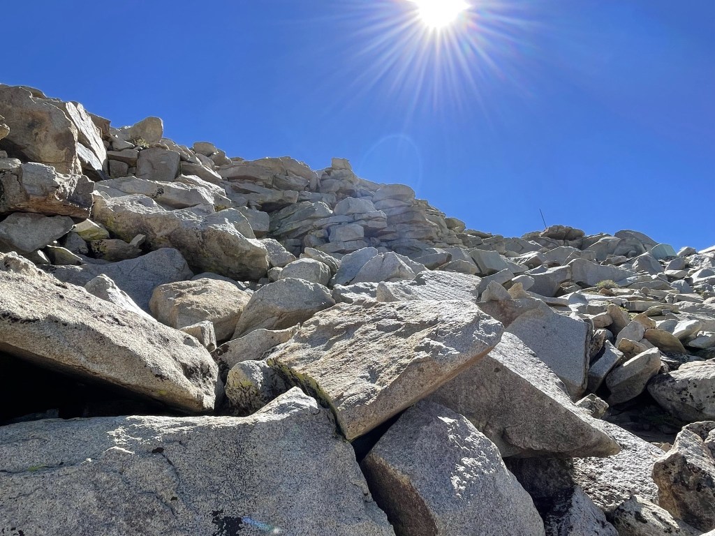
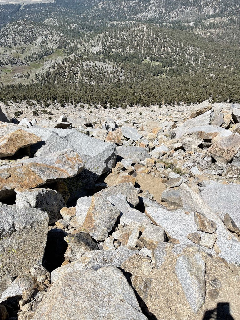
The tree line was around 11300 feet. From there it was all class 2 scrambling up the talus slope.
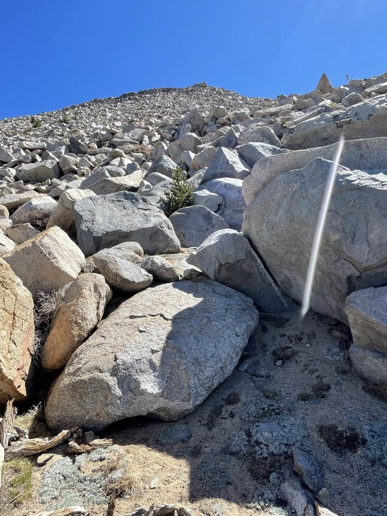
The climbing wasn’t too bad. I felt pretty acclimated to the altitude from having spent the last few days in the mountains.

There were some larger boulders near the top, but it was possible to keep the route class 2 with careful route finding.
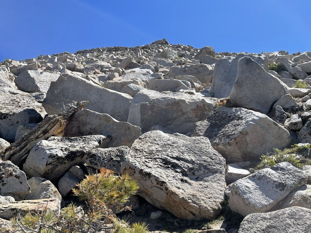
Almost there!
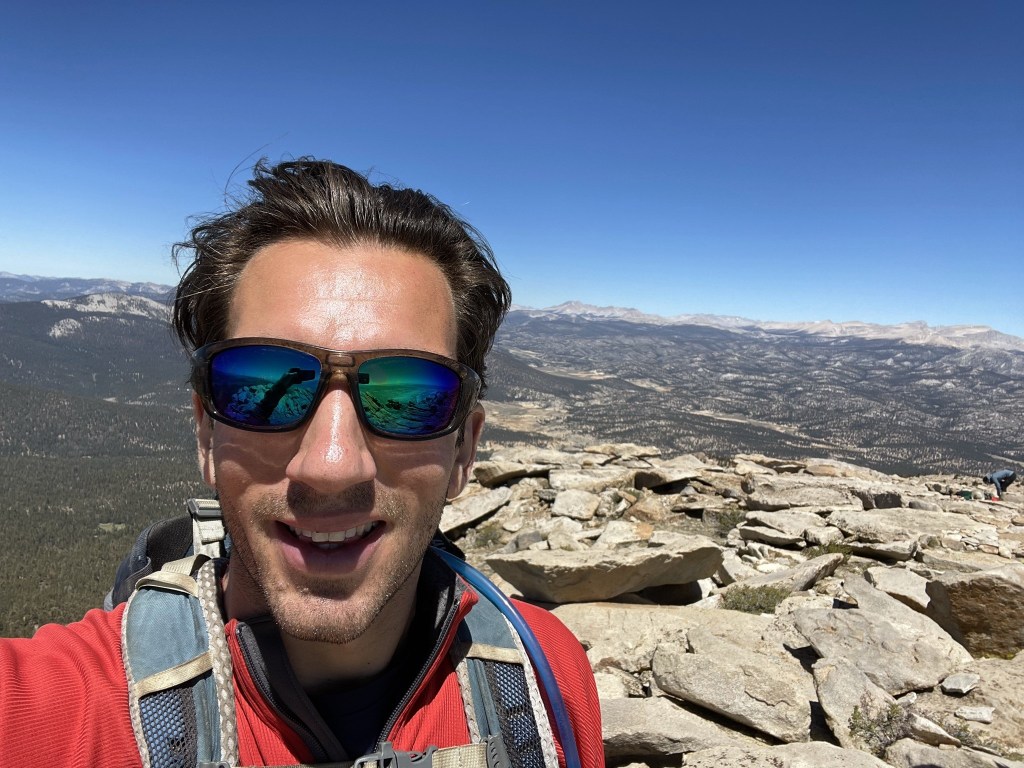
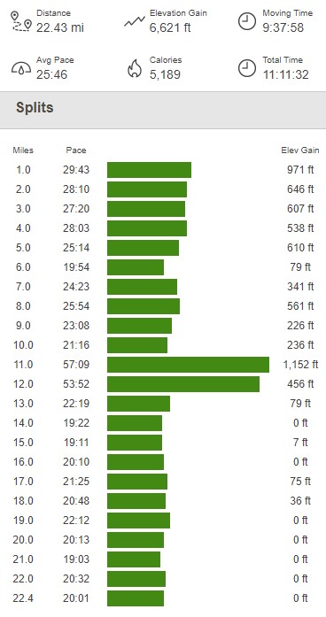
I reached the summit at 10:40am at 11 miles!
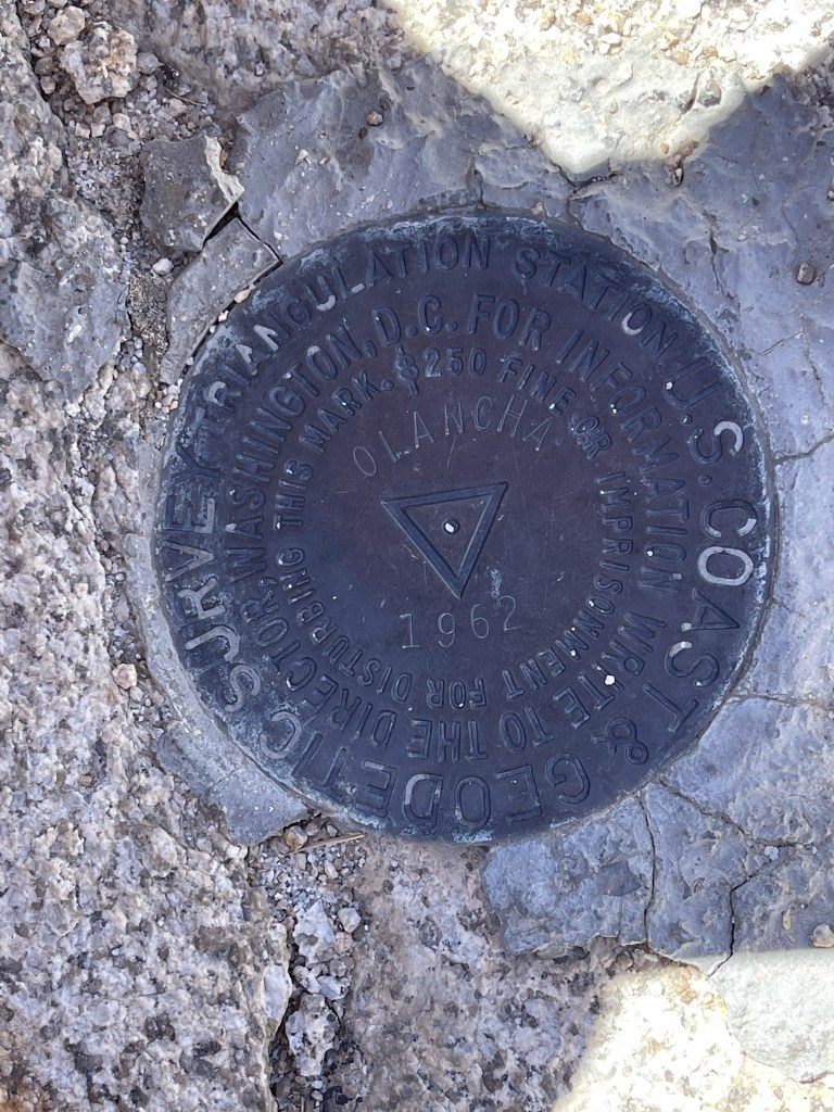
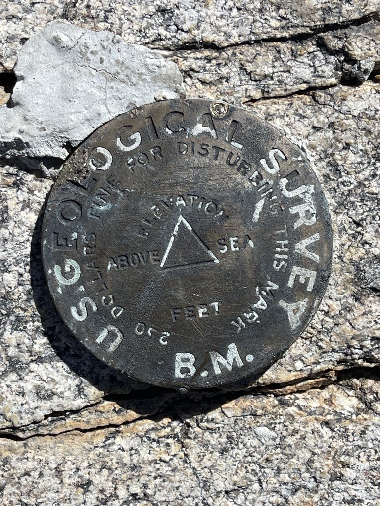
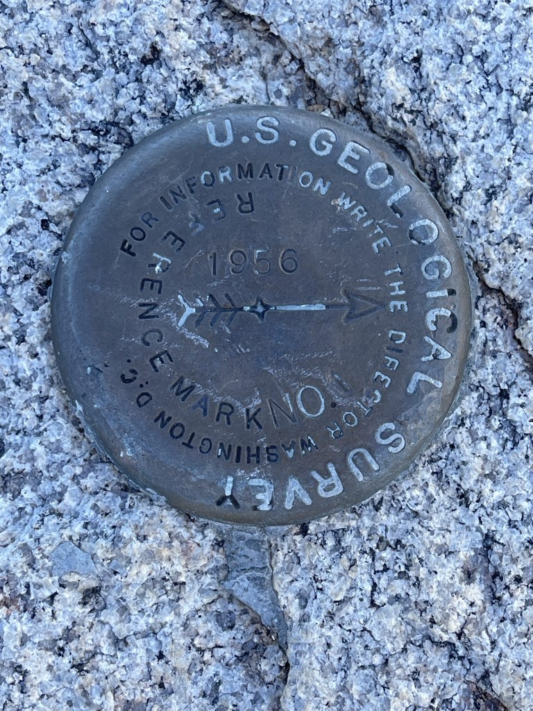
It had taken me just under 6 hours to make the ascent, which wasn’t bad, but I had hoped to be a little faster. There were 2 registers. The older one dated to 2015 and was mostly full. The newer one was placed in May 2020 and had 3 signatures from today. I was a little confused how I had missed them, but it had to have been somewhere on the final off-trail ascent. The rest of the hike is on trail, so it would have been impossible to miss someone heading back down. I located 2 benchmarks and 2 reference markers.

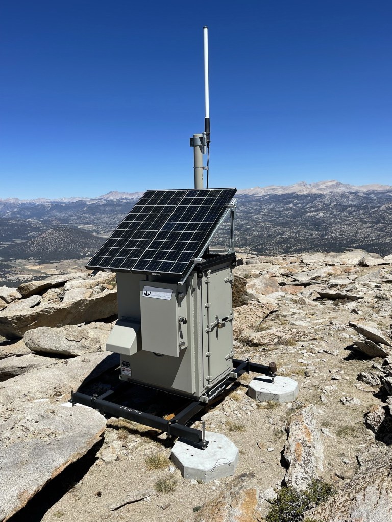
There was also some kind of solar installation on top.
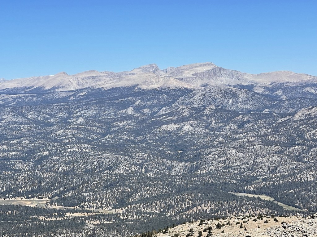
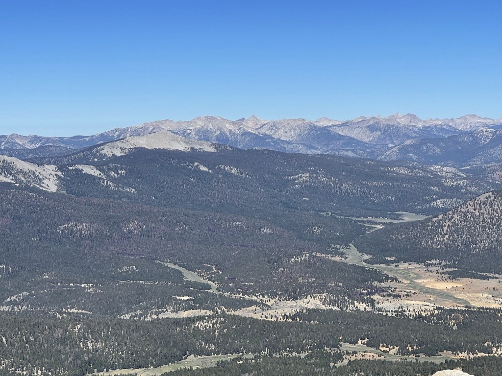
The views were just as incredible as you would expect from a 12,000 foot peak with over 3000 feet of prominence. It was a perfectly clear day too which helped a lot (didn’t see a cloud all weekend). To the north were Mount Whitney and Mount Langley.
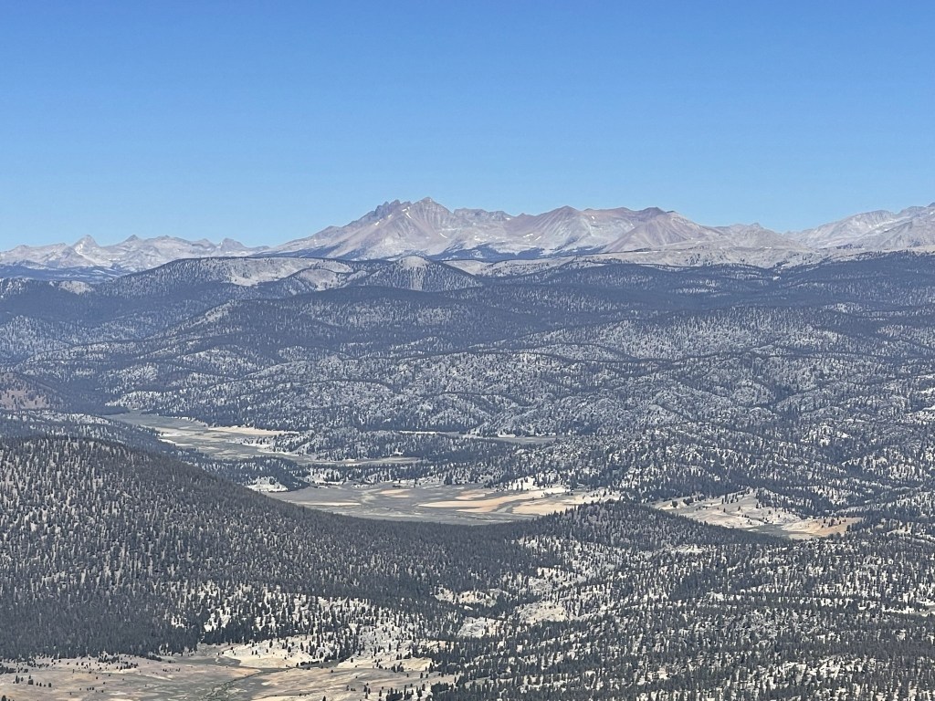
To the northwest was Mount Kaweah.
To the west were Mount Florence and Needham Mountain in the Mineral King Area of Sequioa National Park.
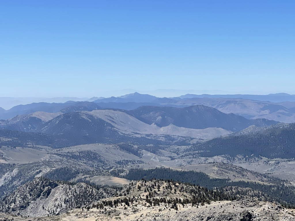
To the south was Owens Peak in the Southern Sierra. Mount Baldy and Mount Baden-Powell could be seen way off in the distance (you can see their faint outline below).
To the east was Telescope Peak.
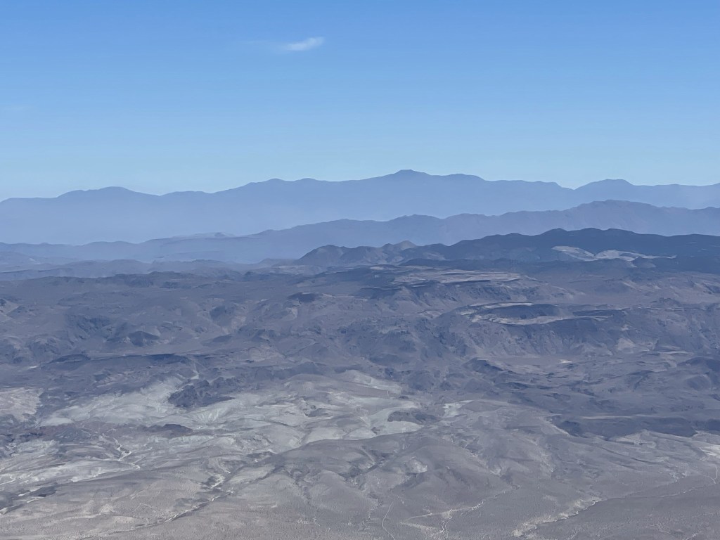
White Mountain Peak could even be seen way in the distance. It seemed crazy that I could see Mount Baldy and White Mountain Peak from the same mountain.

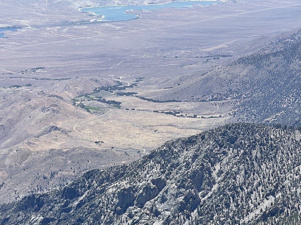
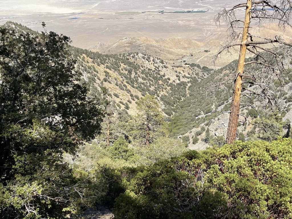
Down below I could see Sage Flats Road leading from Highway 395 to the trailhead.
I briefly needed my jacket on the summit due to a light breeze. 2 hikers joined me on top after I had been up there for a little while. I had seen them on the PCT near the turnoff for the final ascent, but I had assumed they were PCT hikers taking a rest break. They had camped at Summit Meadow to do the hike as an overnight. I began the descent after a 45 minute break on the summit.
I carefully climbed down the talus slope.

I soon was in the forest again.
I reached the PCT once more at 11.9 miles. I turned south towards Olancha Pass.
I passed many PCT hikers heading north over the next few miles. Most of them looked so tired they could barely even say hi to me. That’s not a good sign considering they were only a few hundred miles into a 2000 mile thru hike, and they were just beginning the Sierra part of the trail which is likely the most difficult section. I also saw a few marmots, but they were too quick for me to get any pictures.
I reached the Olancha Pass Trail again at 15.7 miles. I probably saw 15-20 thru hikers total, so I was glad to get off the crowded PCT and onto a much less traveled trail.

I reached Olancha Pass at 17.5 miles, and then the saddle where the cow driveway splits from the hikers trail at 18.5 miles. I considered taking the cow driveway down. I knew it would be slightly less mileage, but I wasn’t sure I would save anytime since it was reported to be pretty steep and much rockier. I decided to stay on the hikers trail.
I made quick time down the rest of the way. I saw 3 hikers ahead of me on the trail, but I never managed to catch up with them. I assumed they had been the 3 who had signed the summit register earlier in the day.
I finally made it back to the trailhead at 4:05pm. It was 98 degrees according to my car. This hike totaled 22.43 miles, 6621 feet elevation gain, and 11:11:32 total time.
It was another great weekend in the Sierra. Olancha was probably my favorite hike I had done so far this year. I packed up and made the 5 hour drive home to San Diego.
