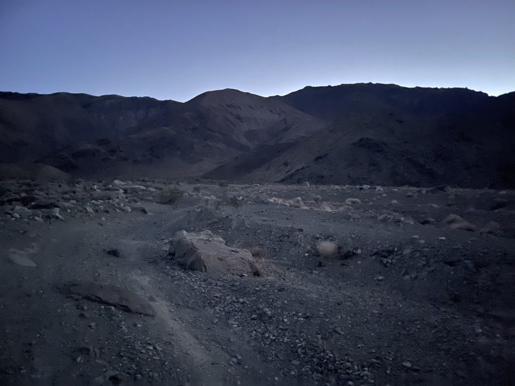
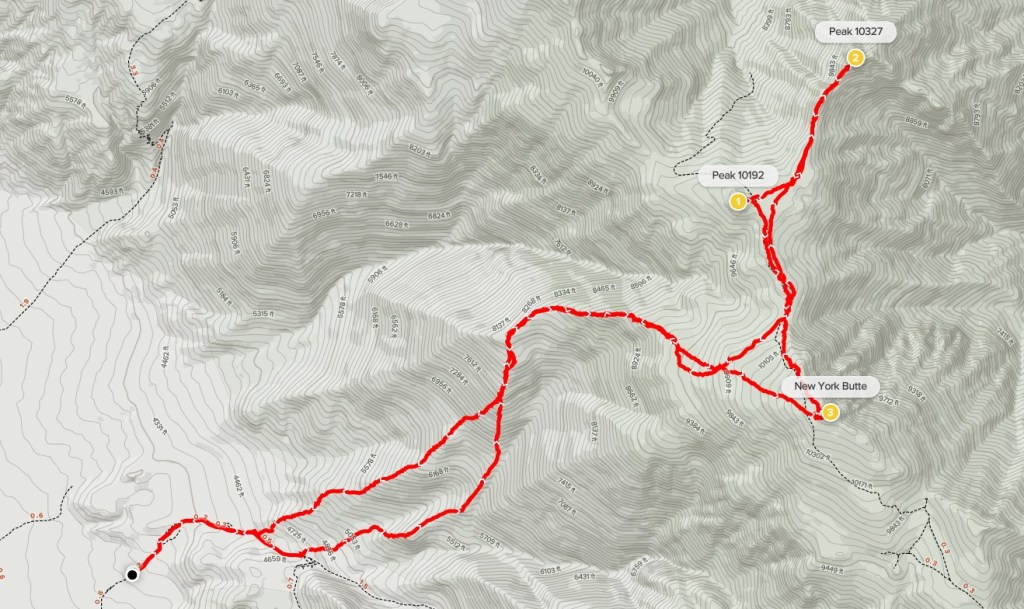
The Inyo Mountains are a north-south trending mountain range in California that parallel the Sierra Nevada to the east across Owens Valley. The mountain rise over 6000 feet from the Owens Valley, although they pale in comparison to the Sierra on the other side. New York Butte (10668 feet) is one of the highest peaks in the Inyos and is included on the Sierra Club Desert Peaks Section List. I intended to climb New York Butte as well as nearby Peak 10327 in a long day hike starting from Long John Canyon. We were in the middle of a very warm and dry winter, which was unfortunate, but it gave me perfect conditions to climb these peaks in mid-February. Temperatures were in the 50s even above 10000 feet and there was hardly any snow left. I left San Diego after work on Friday and made the long drive to Lone Pine (6 hours with traffic). From US 395 just north of town, I turned right (east) onto Lone Pine Narrow Gauge Road. I drove on this good dirt road about 3 miles until I reached Owenyo Lone Pine Road. I crossed this road and continued east on a narrow dirt road that leads into Long John Canyon at the foot of the Inyos. This road was pretty rough, so I parked after less than a mile. I woke up early the next day and began hiking at 6:02am from 3976 feet above sea level.
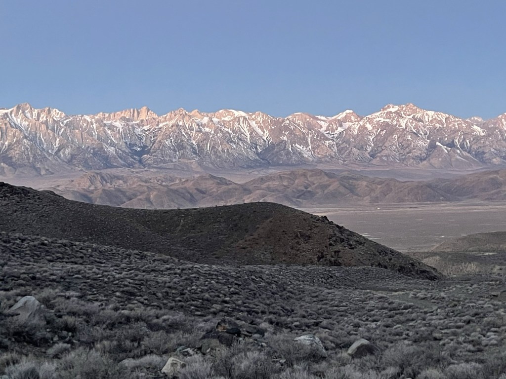
I hiked northeast and then east on the dirt road. I turned around often to admire the Eastern Sierra behind me.
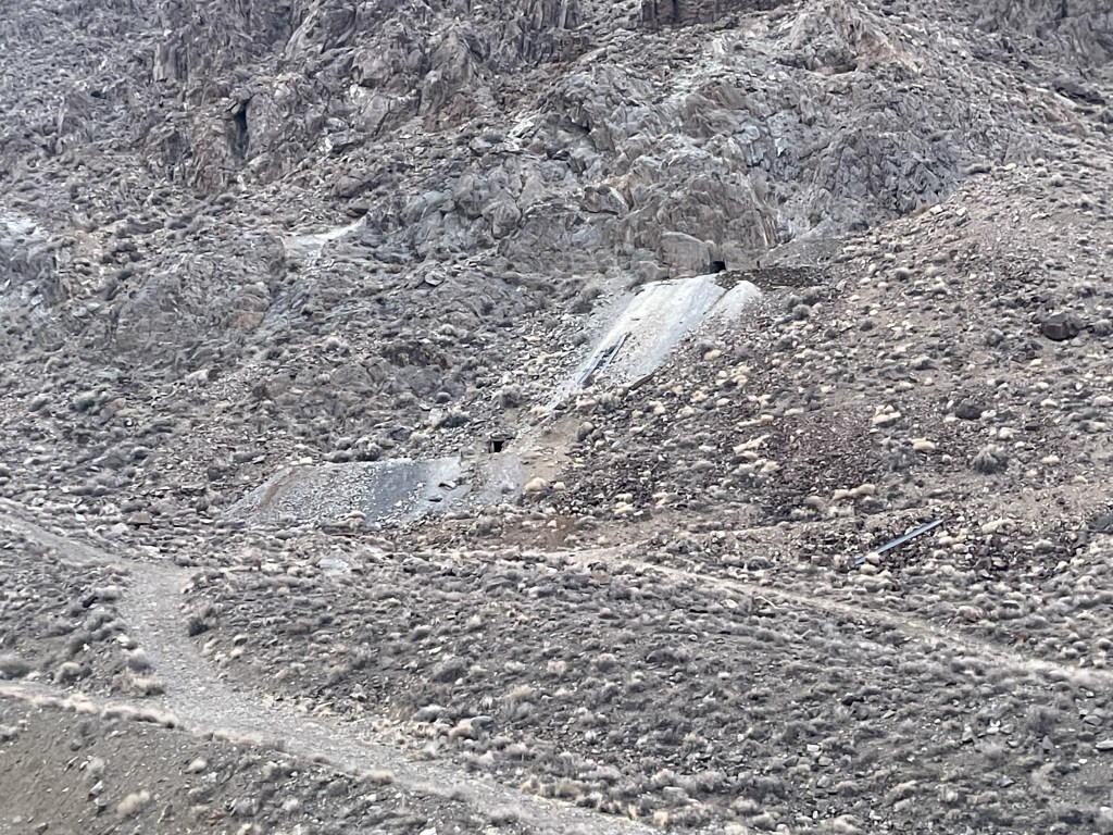
At 1.2 miles I reached Black Warrior Mine as I entered Long John Canyon.
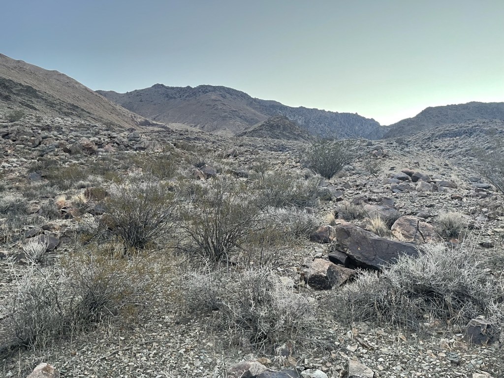
I left the road and hiked across gently rolling slopes to the northeast.
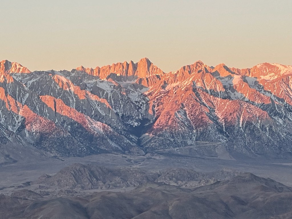
The sun began to light up Mount Whitney behind me.
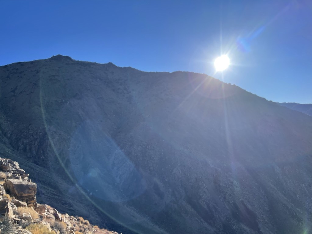
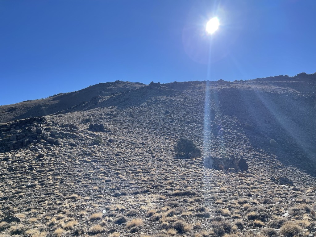
I reached the foot of the mountain range and began climbing a steep ridge. This ridge would take me nearly all the way up as it climbed 5000 feet to the Inyo Crest.

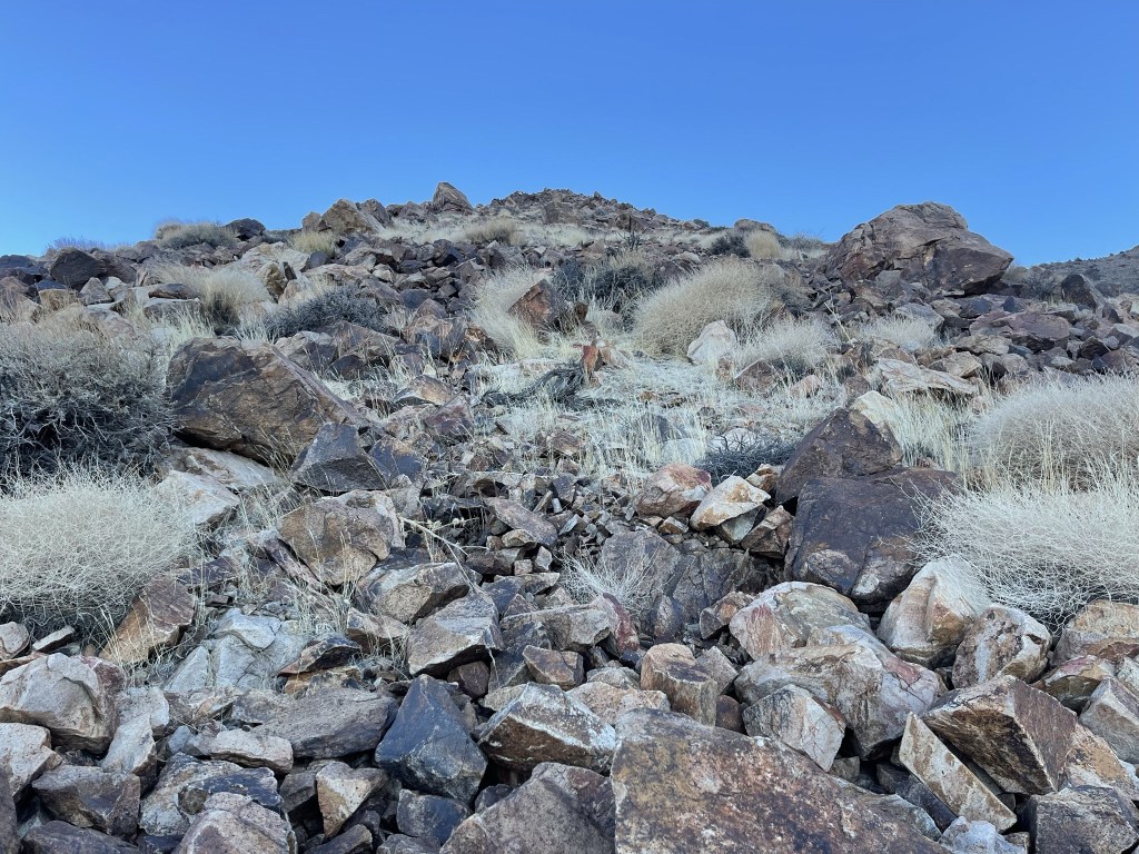
The ridge steepened at the 6700 foot level and became rockier.
The sun finally made its way above the Inyo Crest above me.
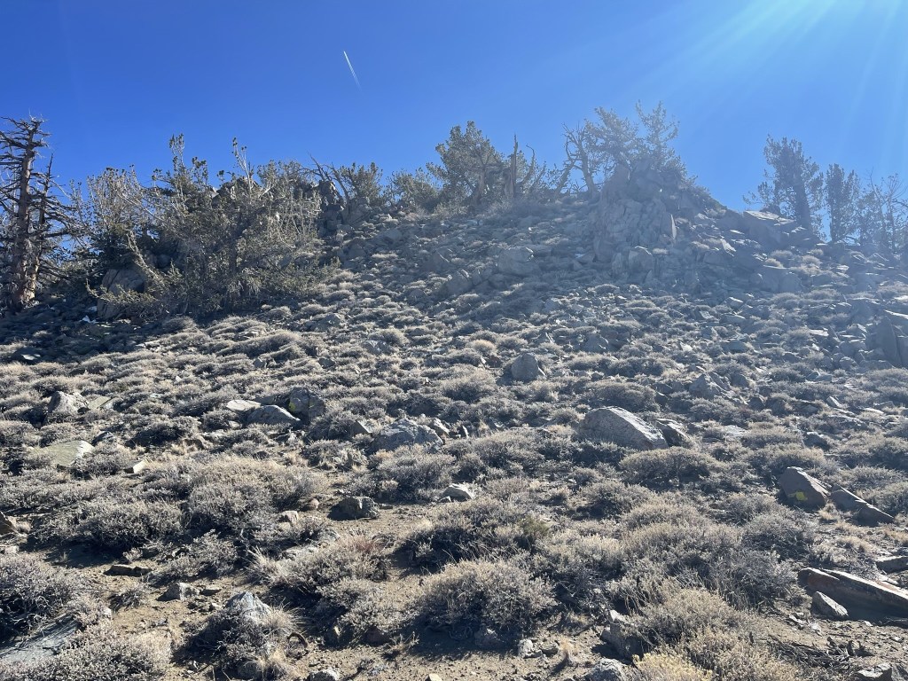
At 3.4 miles I reached spot elevation 8239. Pinyon pines began to appear at this elevation.

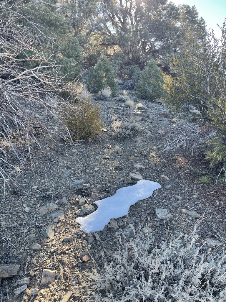
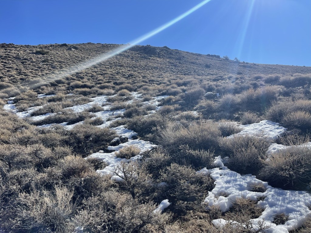
And I saw the first snow patch of the day.
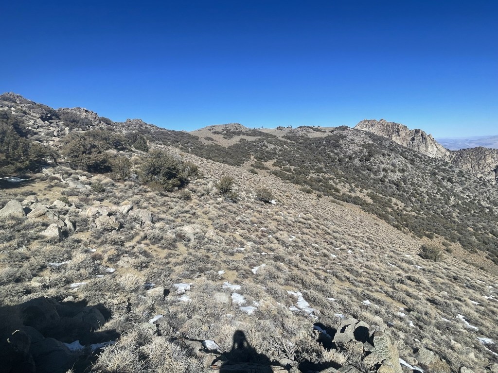
I turned northeast and then east as I followed the ridge past Point 8239.

The grade lessened above 9000 feet.
There were more and more snow patches as I climbed higher.
I was still in short sleeves as I made it above 10000 feet. There was a slight wind.
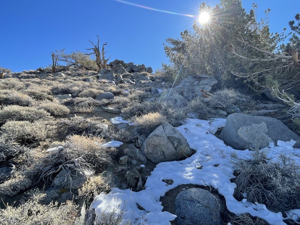
The summit was atop this small hill.
I reached the summit at 10:27am at 5.6 miles! I signed the register which was placed in 2016. The previous entry was from July 31. The view of the Eastern Sierra was spectacular.
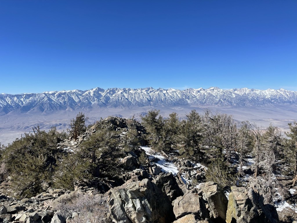
Mount Langley, Mount LeConte, and Mount McAdie:
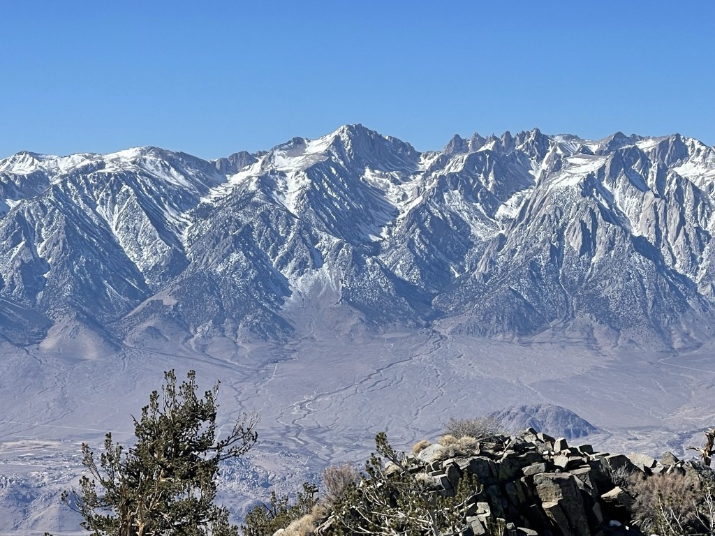
Mount Whitney, Mount Russell, and Tunnabora Peak:

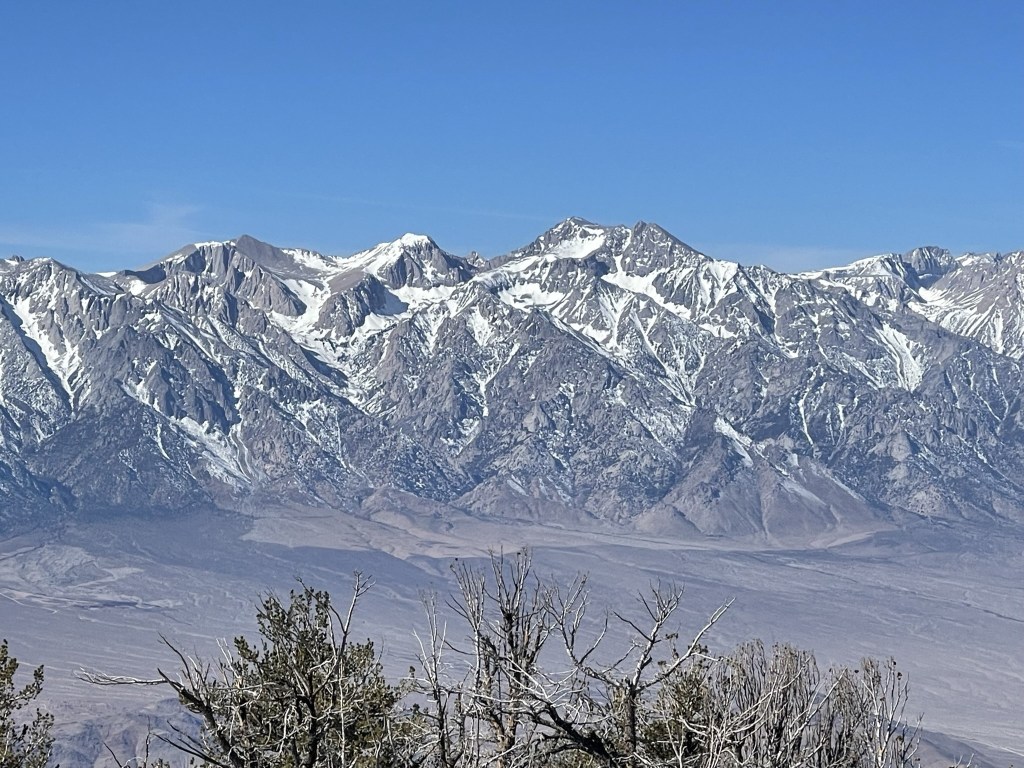
Mount Barnard, Trojan Peak, and Mount Williamson:
Mount Pinchot, Split Mountain, and Birch Mountain:
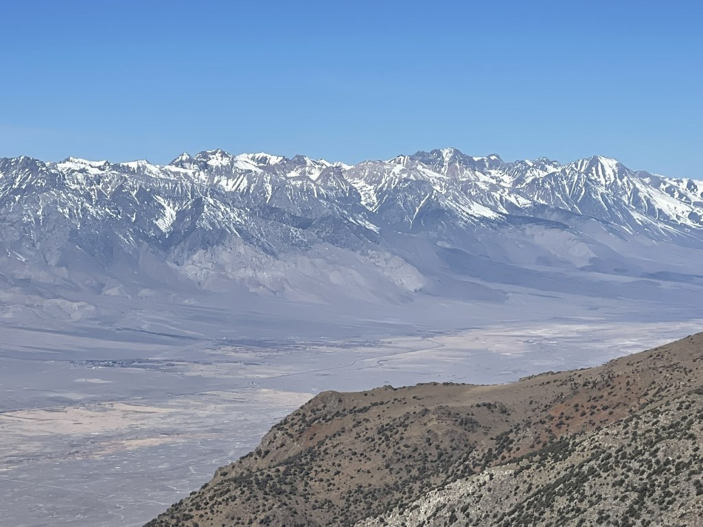
Keynot Peak to the north:

After a 20 minute break, I descended from the summit to the north. The north-facing slope was covered in snow and the descent was rather tedious. Peak 10327 was about 2 miles away.

After descending a few hundred feet, I climbed up through a brushy section. There was a vague trail through the brush, but I had a hard time following it.

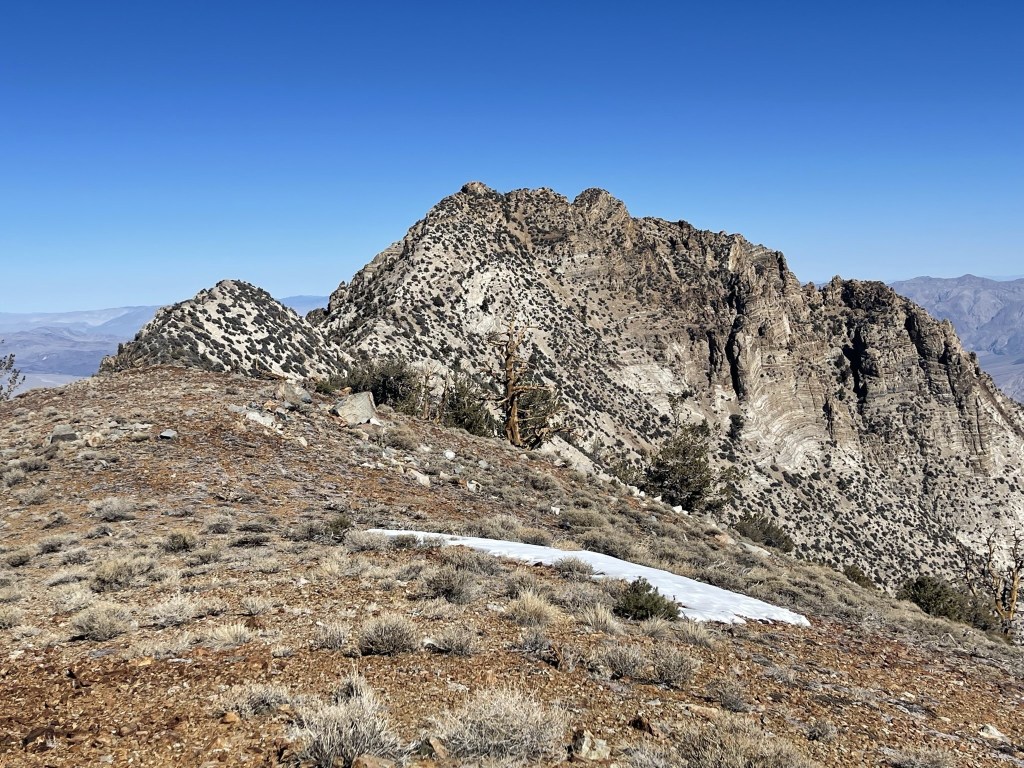
I continued north, bypassing Peak 10192 to the west. I had to do some tedious side hilling through this part.
I then hiked across rolling terrain as I neared Peak 10327.
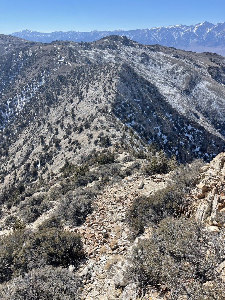
The ridge became very narrow. I went up and over a small bump right before Peak 10327.
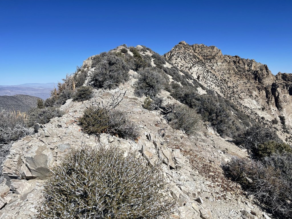
I reached the saddle below Peak 10327 at 8 miles at 9986 feet.
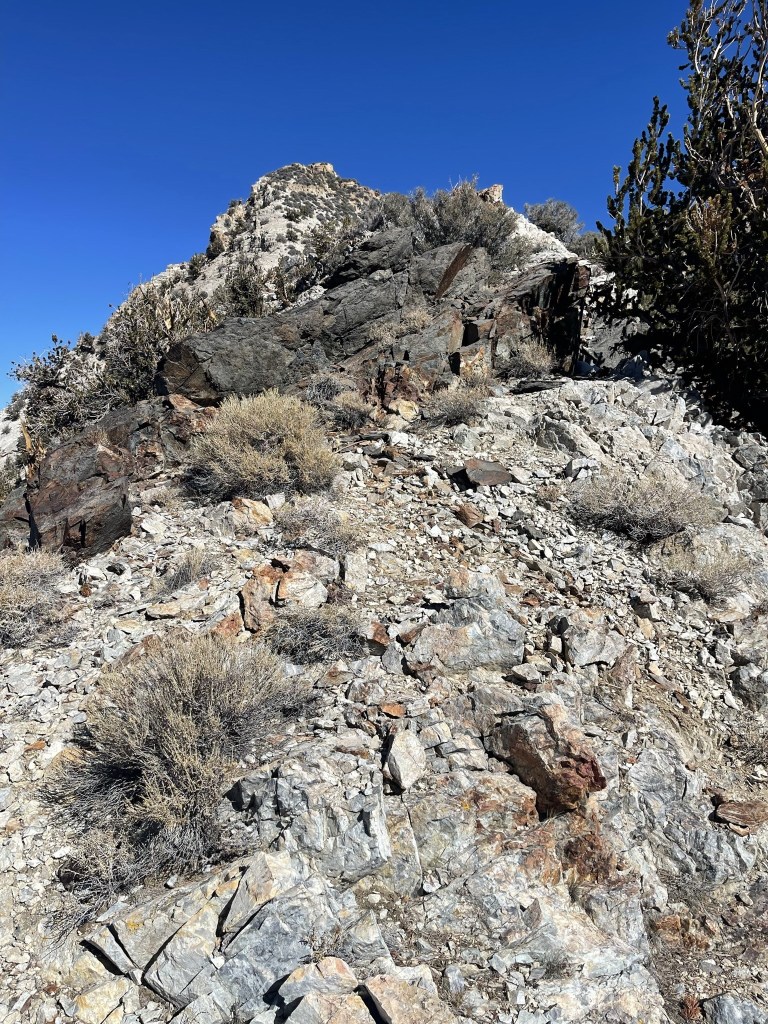
The final climb to Peak 10327 was along a narrow ridge that was steep and full of loose rock. I was getting very exhausted since my legs had over 7000 feet of elevation gain in them already.

I reached the top at 12:29pm at 8.2 miles!

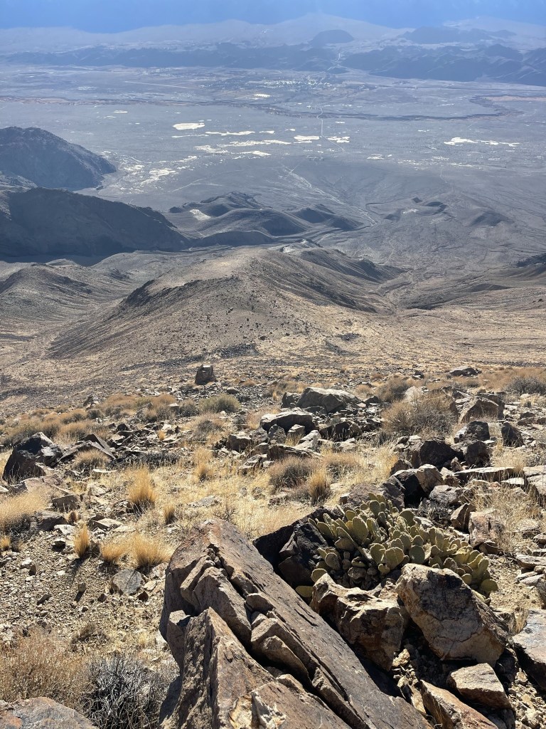
Despite not having a name, I decided the peak was a fun climb and a worthy addition to my hike. While not being on any well known lists, Peak 10327 is one of 61 non-Sierra peaks in California of at least 10000 feet (using the standard 300 foot prominence cutoff). The eastern side of the crest had much more snow than the western side. New York Butte is upper right:

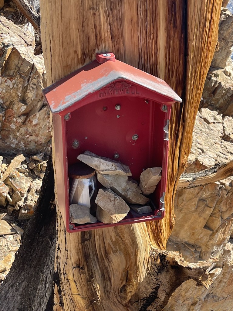
The register was located in this box just below the summit block. The register had been placed in 1981 and was previously signed on June 15. The register referred to the peak as “Survivor Peak.”
I made my way back down the ridge after a short break.
I decided to climb Peak 10192 on the way back. This peak does not meet the prominence cutoff to be an official peak, but it was a short distance off my descent route.

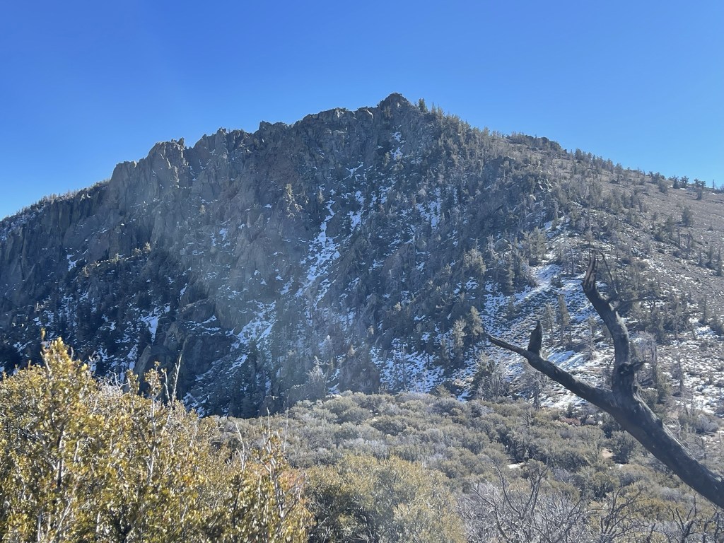
I reached the summit at 1:34pm at 9.4 miles. I had a good view of New York Butte about a mile to the southeast:
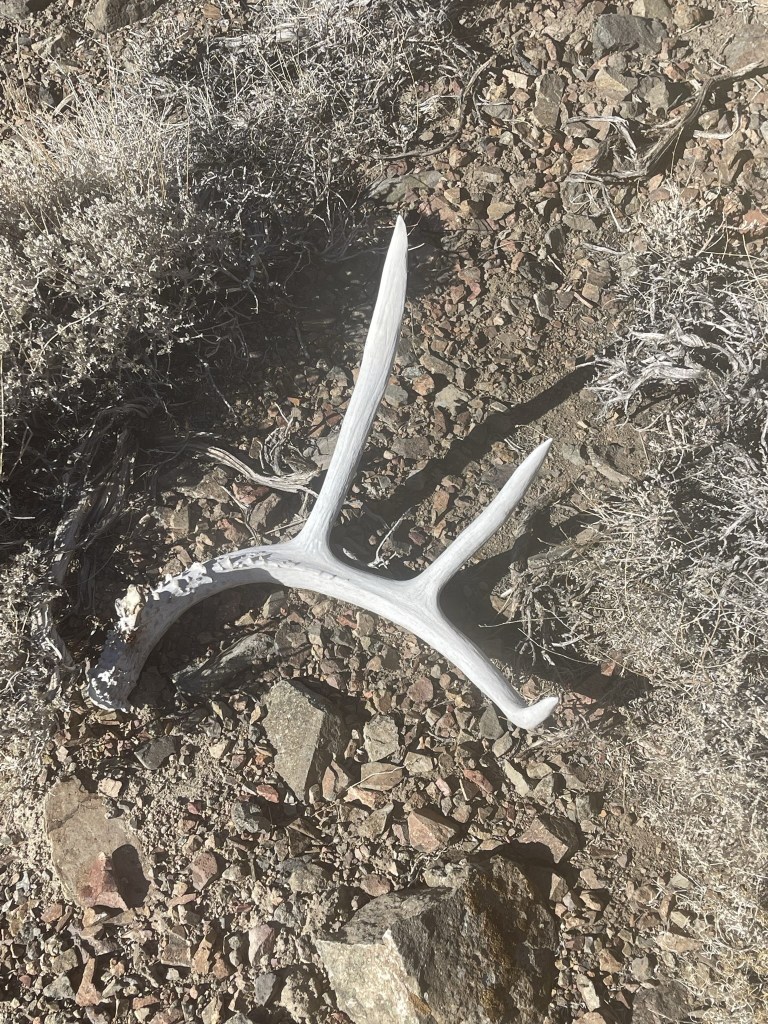
I then started the long 6000 foot descent back down. I rejoined my ascent route on the ridge west of New York Butte. I found a deer antler on the way down.
The descent was pretty warm, especially with the sun in my face for most of it. I took a slightly different route to the bottom, descending a ridge that came off the main ridge about halfway down. This ridge was steeper and more direct.
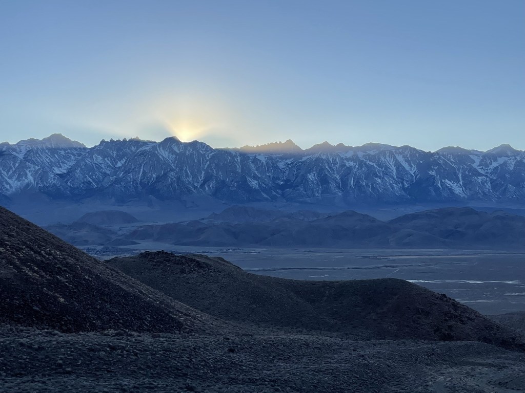
I had a nice view of the sun setting over the Sierra as I neared the end of my hike.
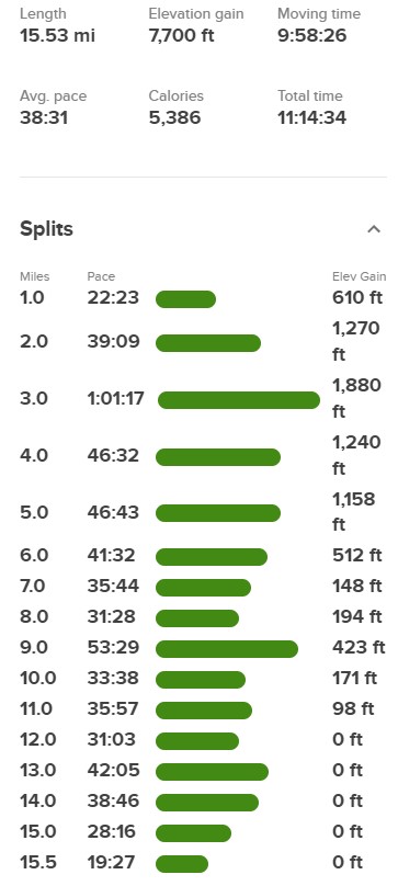
I reached the car at 5:16pm. Stats for this hike were 15.53 miles, 7700 feet elevation gain, and 11:14:34 total time.
I was planning to climb Keynot Peak and Mount Inyo the next day, so I drove about a half hour to the trailhead for those peaks. I was so tired that I was asleep by 8pm.
