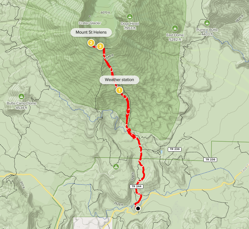
Mount St Helens (8333 ft) is probably the most famous volcano in the United States and one of the most well known on the planet. On May 18, 1980 it erupted violently and devastated the nearby landscape. The mountain that remained after the eruption was over 1300 feet lower than it had been prior, and several glaciers were melted instantaneously. A mile wide summit crater replaced what had previously been a beautiful symmetrical cone. There are 2 main routes up the south side of the mountain (the side that is most intact). Monitor Ridge is the summer route starting from the Climbers Bivouac Campground, and the Worm Flows is the winter route starting from Marble Mountain Sno-Park. The road to Climbers Bivouac hadn’t opened for the season yet, so I would be taking the Worm Flows route. One could park where the road is closed and hike an extra 3 miles one way to Climbers Bivouac, but that would make the route longer than the Worm Flows. A quota permit is required to climb above 4800 feet on the mountain. I had managed to snag one a few weeks prior to my trip to Washington. I had slept in my rental car the night before in the large parking lot, so I was ready to go early in the morning. The weather was forecast to be pretty nice, so I wanted to get an early start so I could get as high as possible before the snow softened up too much. Plus, I had to get to Seattle to catch my 7:40pm flight back to San Diego that evening. I began hiking at 2:32am from 2671 feet above sea level.

I found the trail at the north end of the parking lot and began with my headlamp. I signed the climbing register at the trailhead. I had noticed a few other groups getting ready, but it appeared I was the first one on the trail.

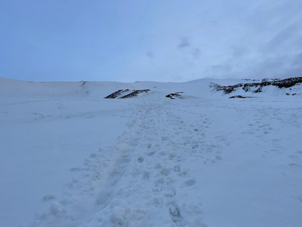
I hiked north in the dark. There were a few criss-crossing ski trails, but they were well signed, and I generally just kept heading straight. I began to see small patches of snow on the trail around 3100 feet. I was surprised at how low the snow level was.
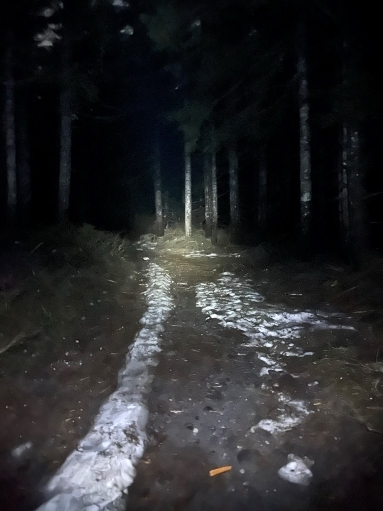
Before long, large sections of the trail were completely covered in snow. The snow was a bit slushy, so it was tedious trudging through it.

The moon was nearly full which lit up the early morning.

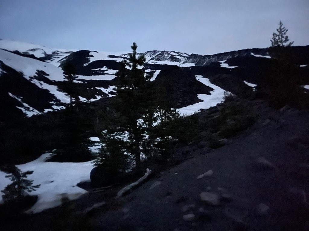
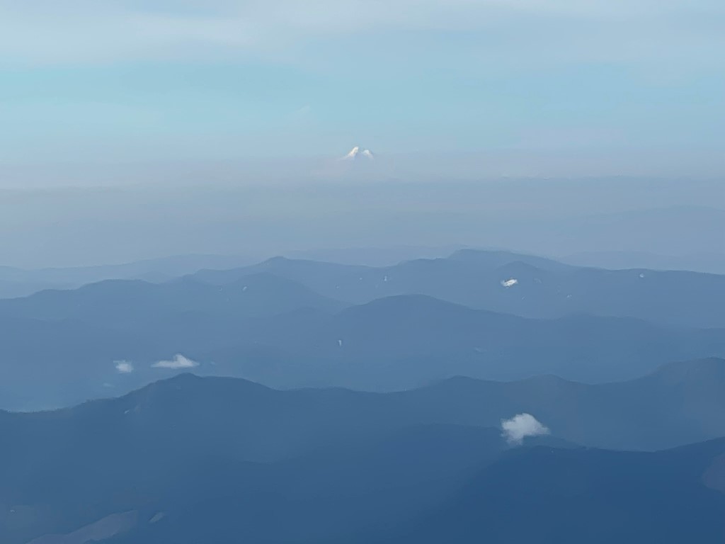
I caught my first glimpse of Mount St Helens still 5000 feet above me.

I emerged into the open above the trees. The tree line is unusually low (about 4400 feet) on Mount St Helens due to volcanic disturbance.
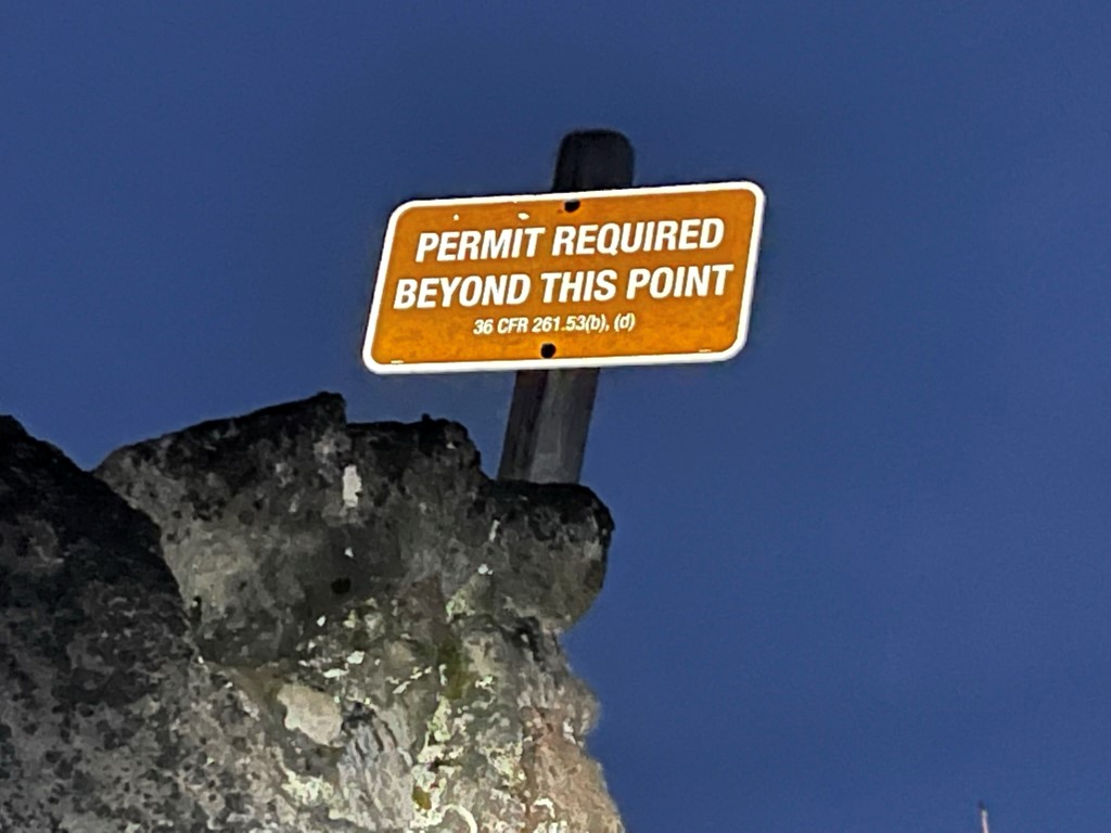
The trail then crossed a deep gully which I missed in the darkness. Rather than backtracking, I ended up crossing the gully a bit further up which was difficult due to the steep walls. Once on the other side, the trail climbed up a narrow rock rib. I reached the permit line at 3.7 miles. My permit was not checked the entire day.
I turned around and saw the moon above the lights of Portland.

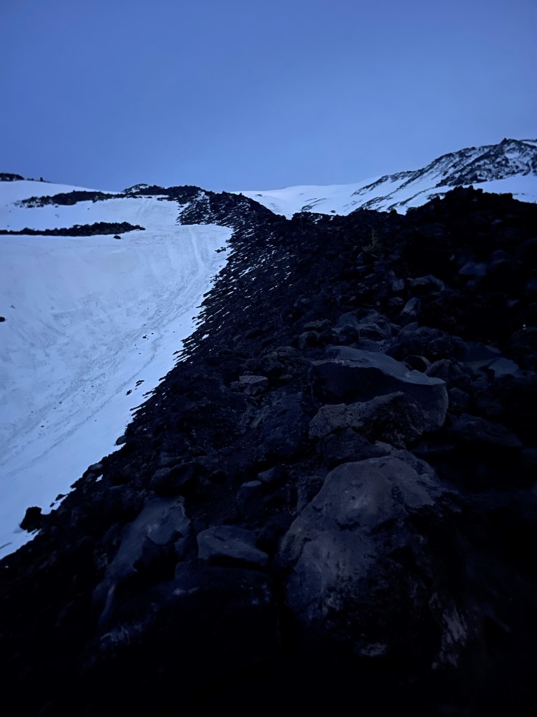
The hiking was much steeper now as I continued up the rock rib.
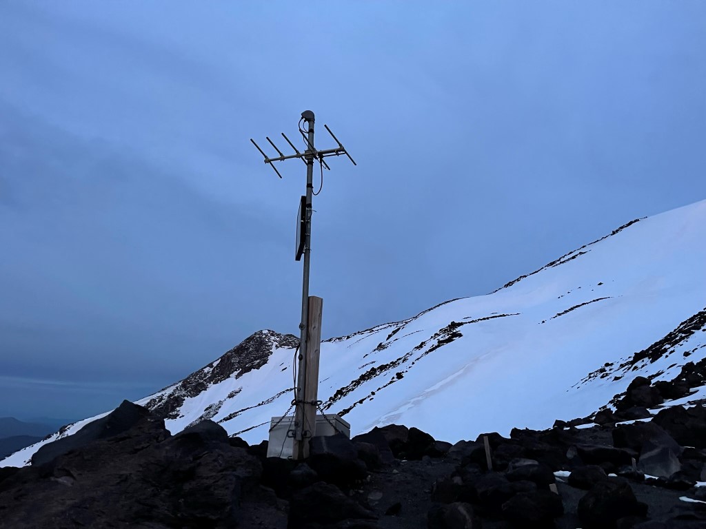
At 4.2 miles I reached a small weather station at 5600 feet.
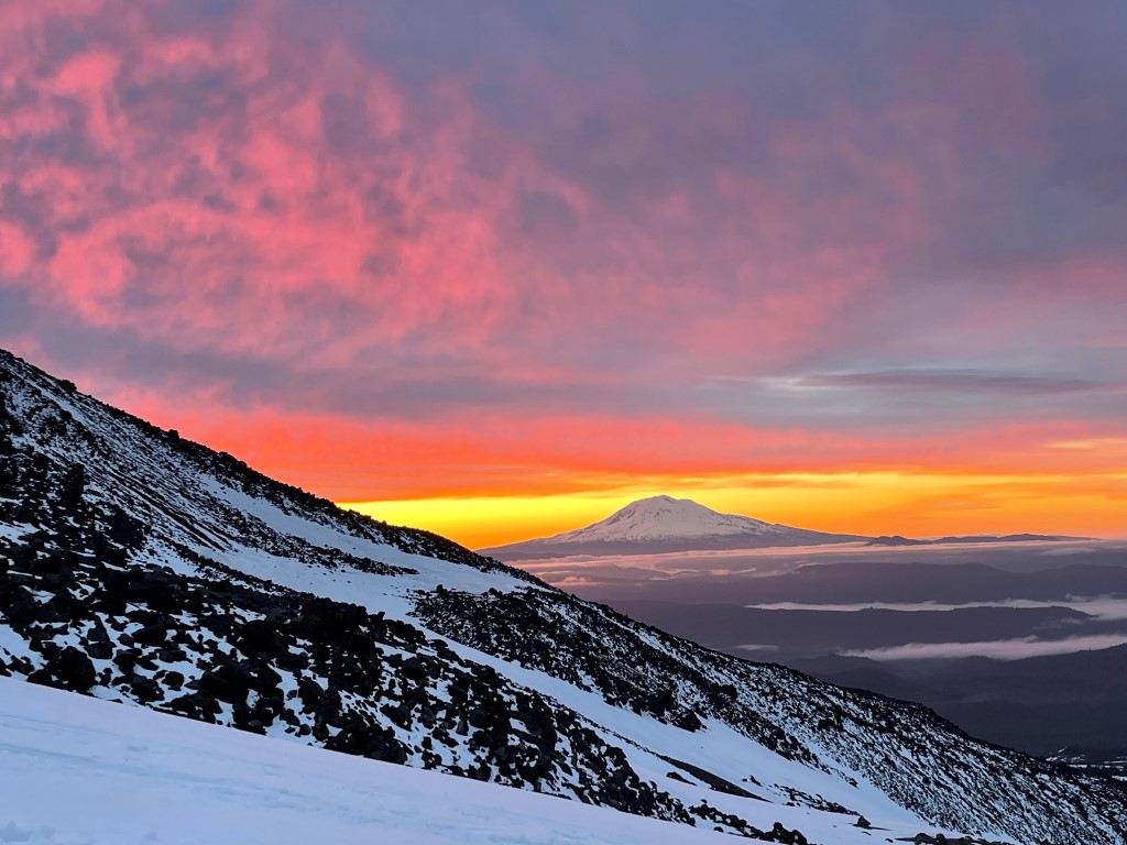
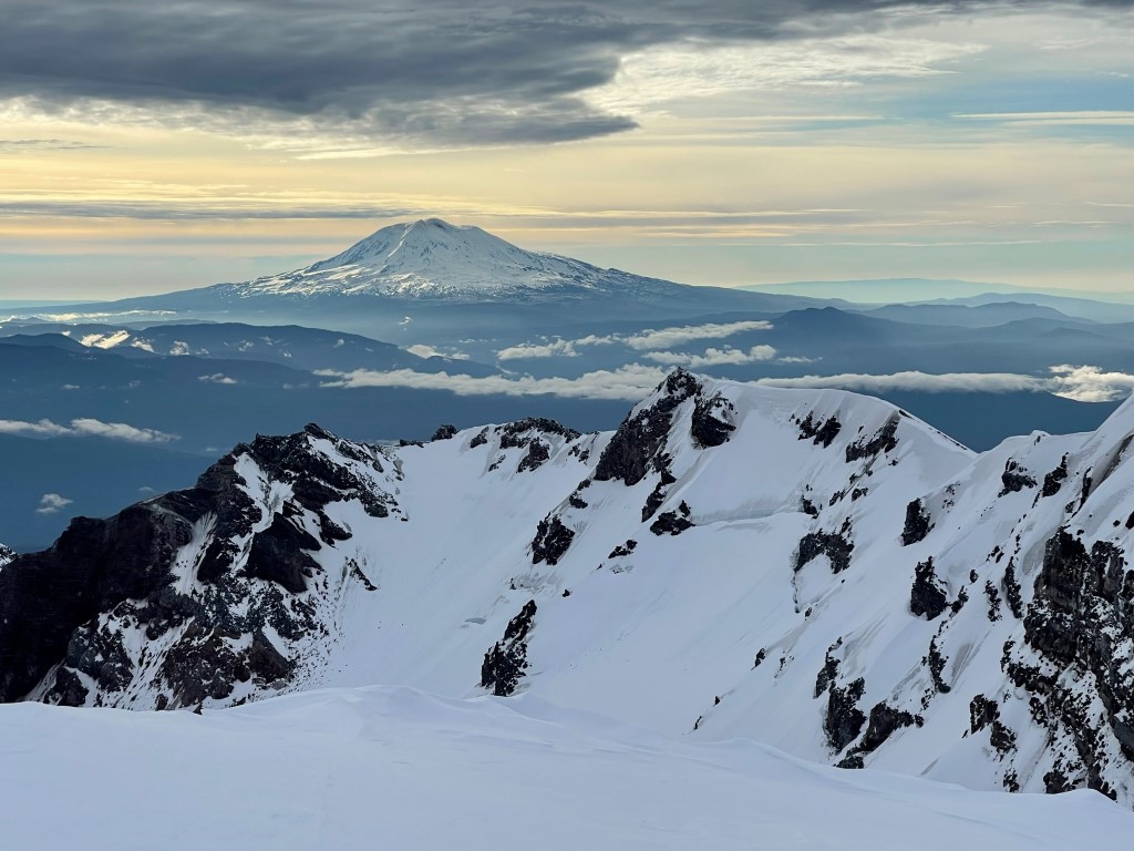
The sun was beginning to rise above Mount Adams to the east.
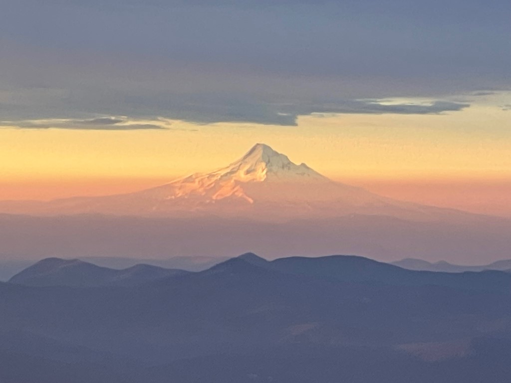
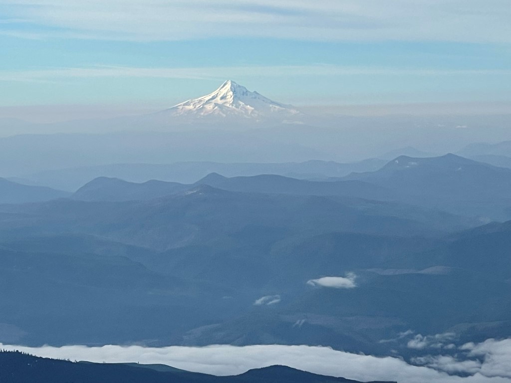
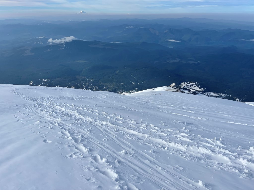
Mount Hood was visible to the south behind me.
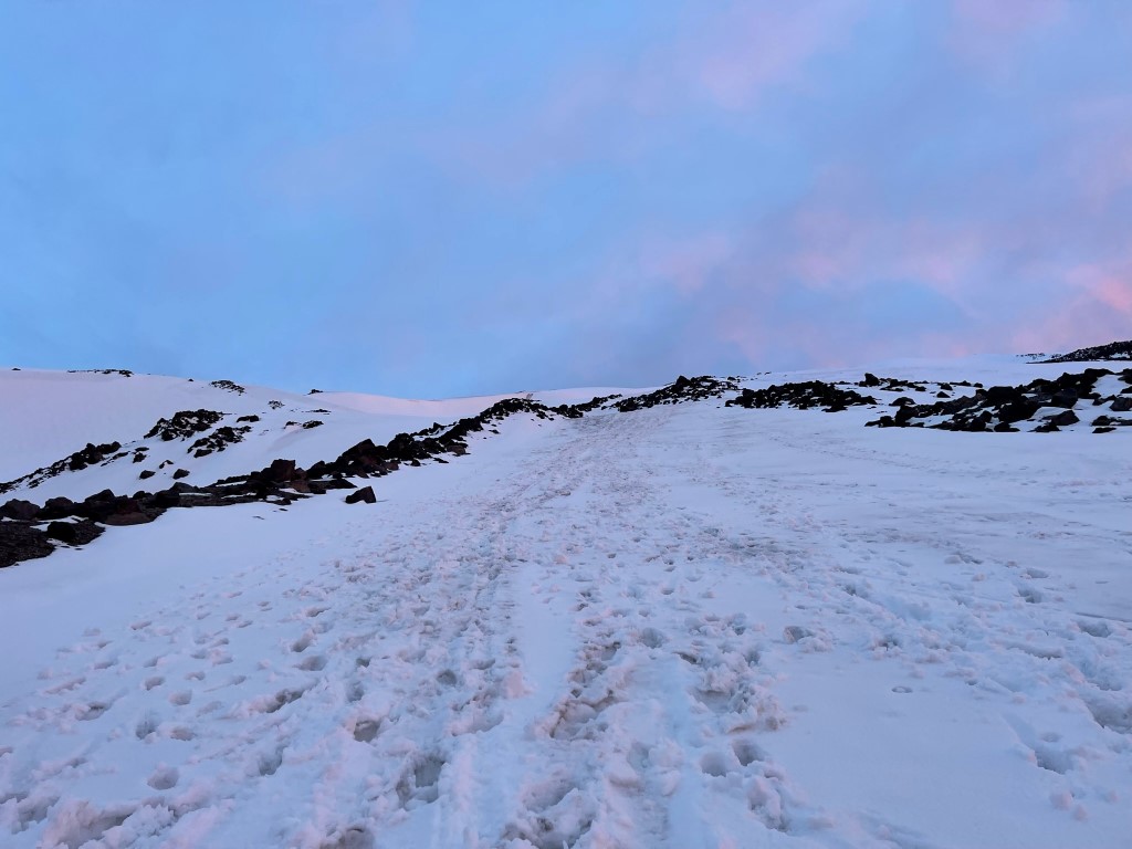
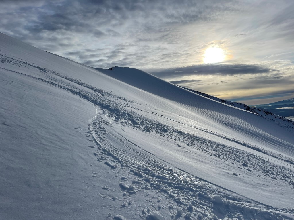
I put on my crampons and began climbing up the steep snowy slope.
The snow was pretty firm, and there were plenty of previous footprints which made it easier.
The slope got steeper as I ascended.

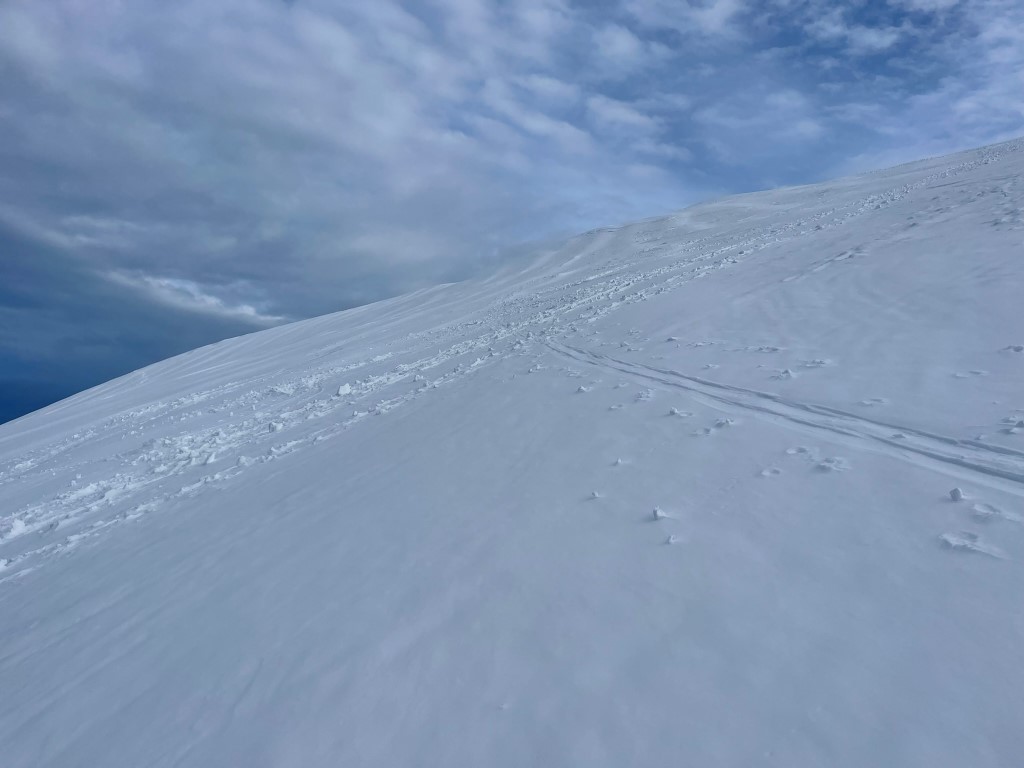
I made short switchbacks as I neared the top.
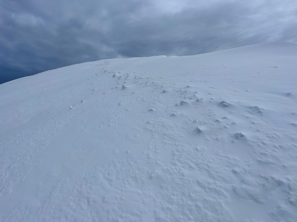
The snow really hardened as I neared the crater rim.
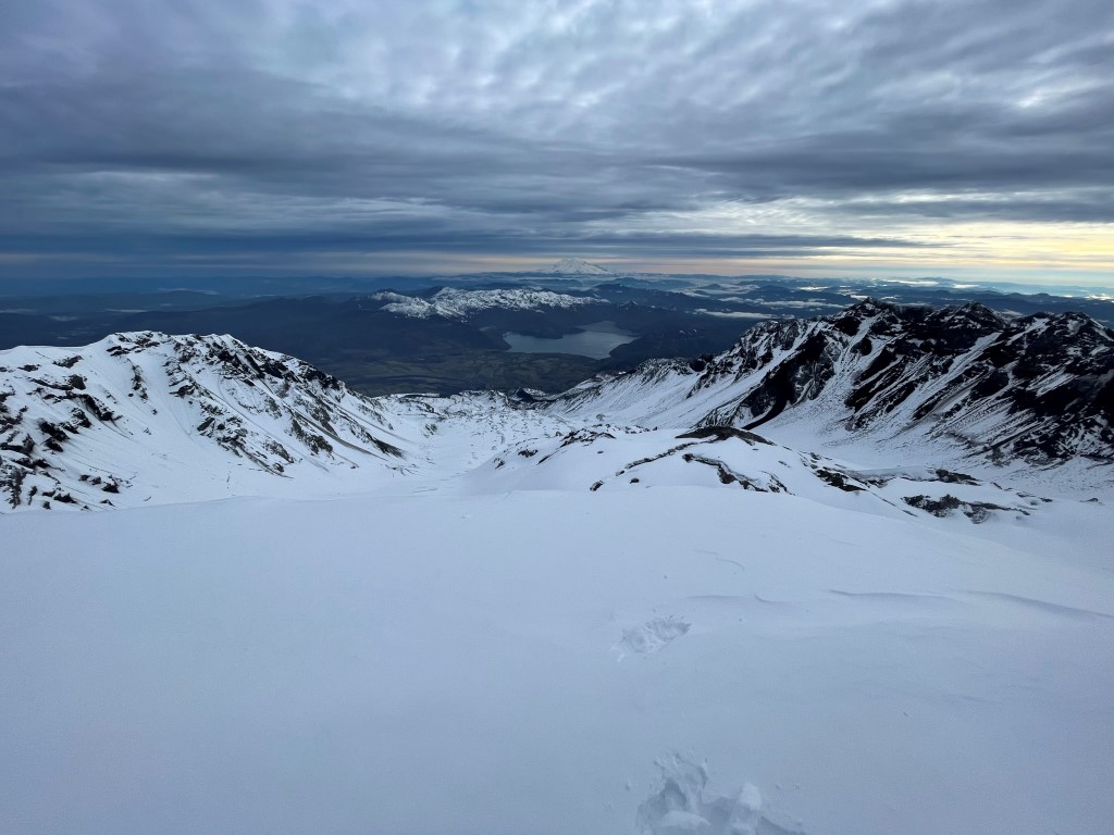
I reached the crater rim at 5.6 miles at 8262 feet. The true highpoint was 0.4 mile clockwise around the rim (west).
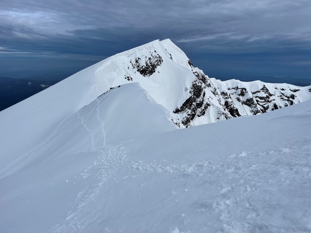
I went up and over a small prominence along the rim, and then climbed up the final slope to the summit. The rim is reported to be heavily corniced, so I stayed away from the edge.
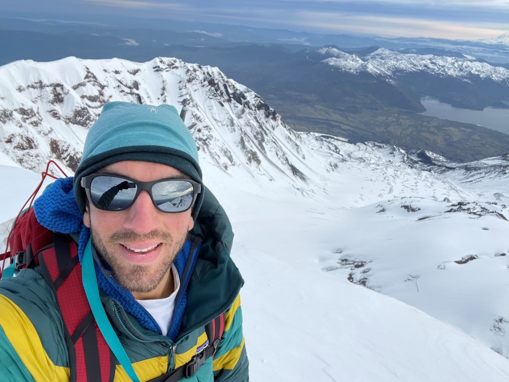
I reached the summit at 7:15am at 6 miles!
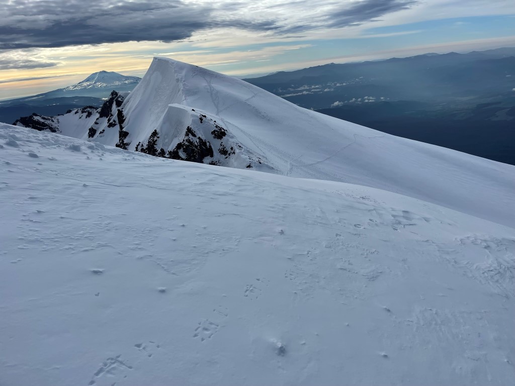
It was a little breezy on the summit, so I put on an extra layer. I wasn’t complaining though, since this was by far the nicest day I had all week. Bad weather had ruined attempts on Mount Rainier and Mount Adams earlier in the week. To the north I had an excellent view of Mount Rainier.

Zoomed in:

Mount Adams to the east:
Mount Hood to the south:
And I could barely see Mount Jefferson beyond Hood.
I also had an excellent perspective of the massive horseshoe shaped summit crater. The small bulge in the center is a lava dome.
I began descending after a short break. I retraced my ascent route by hiking counter-clockwise around the rim. I made a brief detour to climb Point 8281, the small prominence I had passed earlier on the way up.
I got back to the point where I first reached the crater and began heading down. I kept my crampons on for the first part which was still pretty icy.
I began to pass groups of climbers making their way up. I passed about 30 people total on the way down. It was a nearly even mix of climbers and skiers. Most stopped to ask me about the conditions on the summit and how early I had started. Once I got a bit lower, I took off my crampons and began glissading down pre-existing glissade chutes.

The glissading was awesome. I made very good time down the mountain. I reached the weather station once more at 7.6 miles. From there I stayed in a snow-filled chute to the right of the rock rib I had ascended this morning and was able to glissade some more.
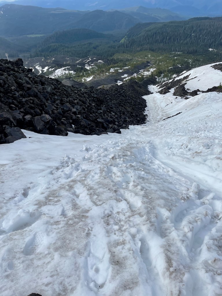
In total, I glissaded down about 3000 feet. I turned around and got a good look at the volcano in the daylight.

I got back on the trail and hiked south towards the trailhead. I once again missed the point where the trail crossed the steep gully, so I had to find my own way through.

Once I was on the correct side of the gully, it was an easy walk back to the trailhead. I reached the car at 10:07am. Stats for this hike were 11.61 miles, 5768 feet elevation gain, and 7:35:46 total time.

I packed up the rental car and began the long drive back to Seattle. I stopped at the Mount St Helens National Volcanic Monument visitor center on the way. The visitor center was pretty impressive; it contained many exhibits about the eruption, a short film, and a gift shop. I was particularly fascinated by an exhibit of some old climbing gear, including crampons and an ice axe.

