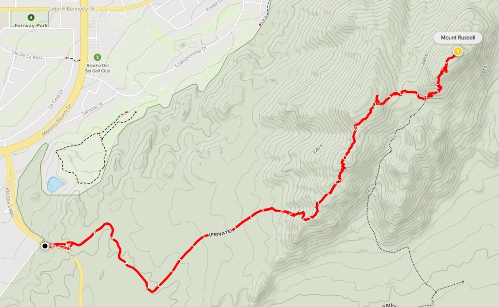
Mount Russell is a 2704 foot peak on the Sierra Club Lower Peaks List and is the highest point within Lake Perris State Recreation Area. I was recovering from some minor knee pain that had been bothering me for 2 weeks, so I chose Mount Russell since the route to the summit is short and pretty easy. I parked on Via Del Lago outside the gate to avoid paying the entrance fee. There is space for 10-15 cars to park. I started hiking at 10:21am from 1725 feet.
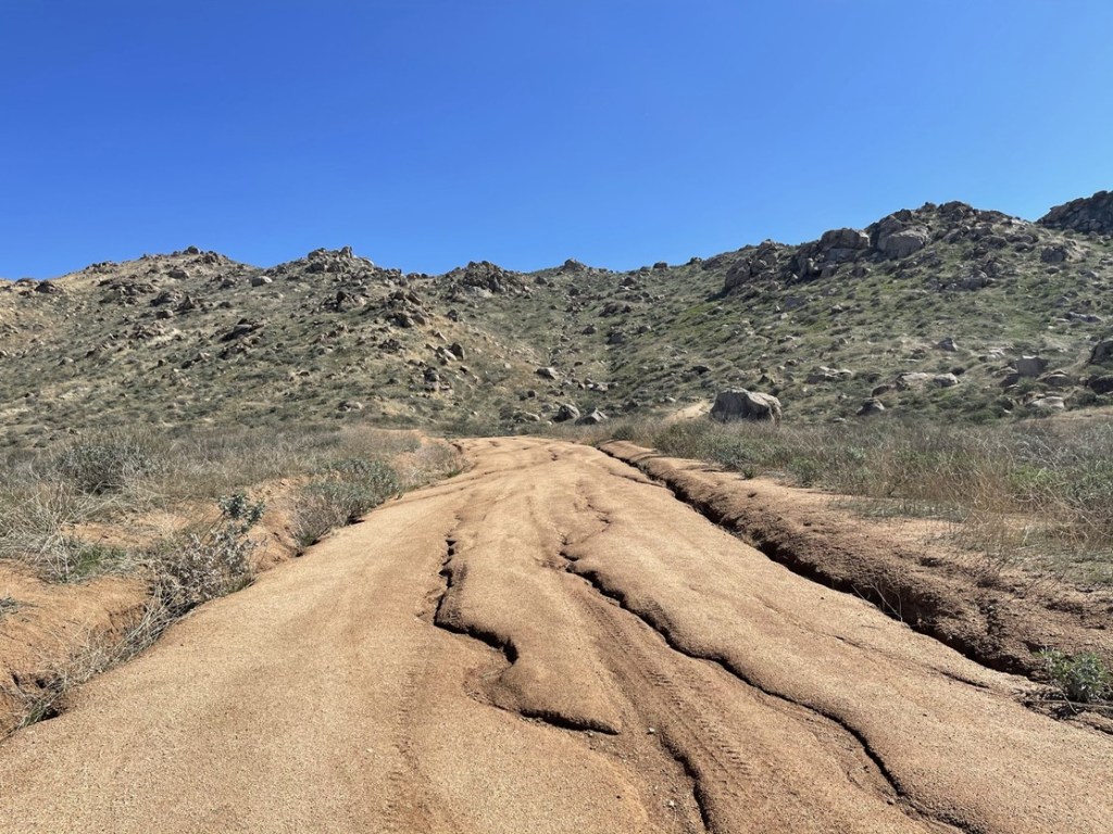
The weather was gorgeous as I got started – mid 60s and not a cloud in the sky. I crossed to the east side of the road and walked along a narrow trail into the state park. After a short distance I reached a T intersection and turned right onto a dirt road.
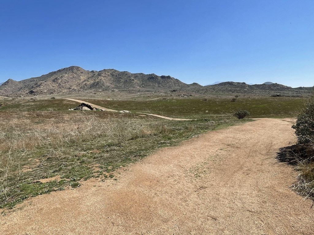
I passed a family heading back towards the trailhead. I followed the road southeast and then made a left turn on another road at 0.6 mile.
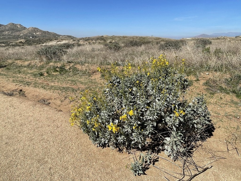
I noticed a few brittlebush already in bloom.
At 1.2 miles I reached a closure sign. The road ends here and continues as a single track trail up into the hills.
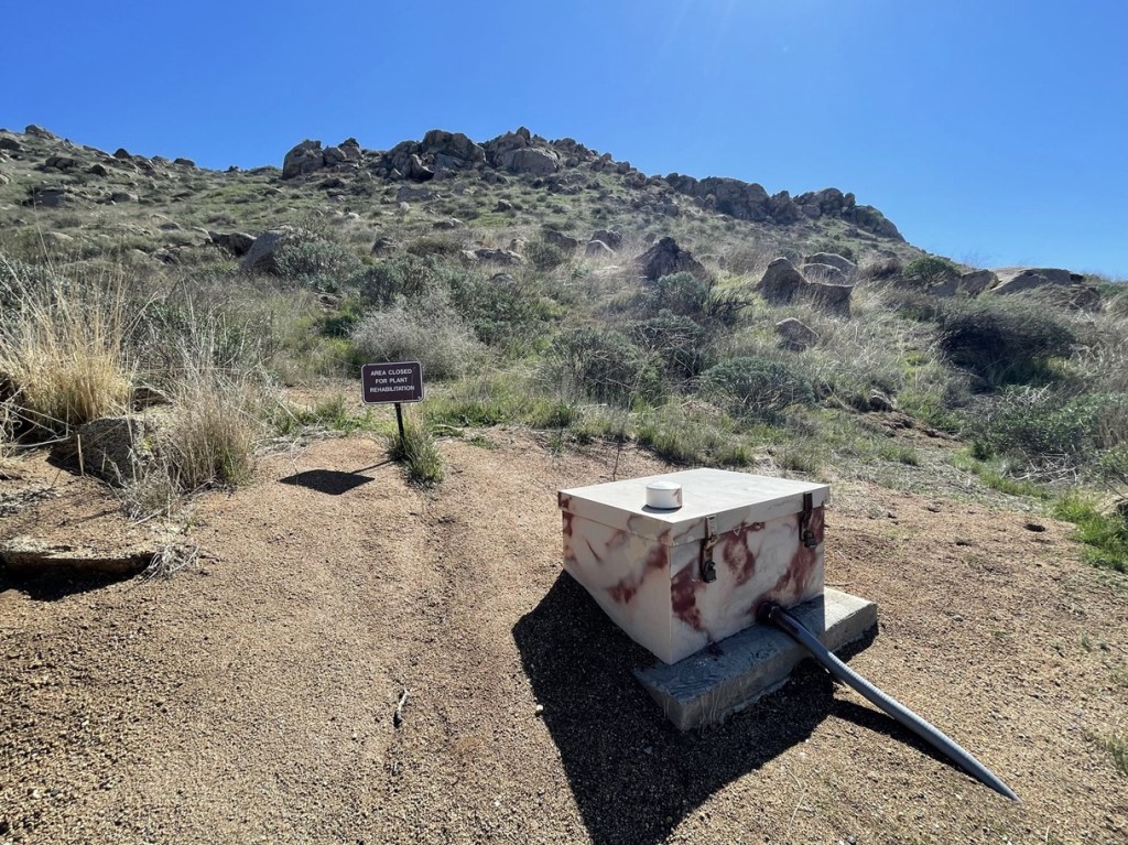
I ignored the sign and continued hiking east. The route got much steeper here.
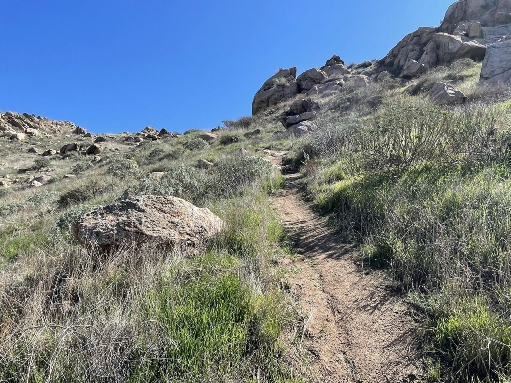
I followed the trail northeast towards the summit. The trail was a bit hard to follow at times, but I was able to stay on course. I noticed dozens of ravens flying overhead.
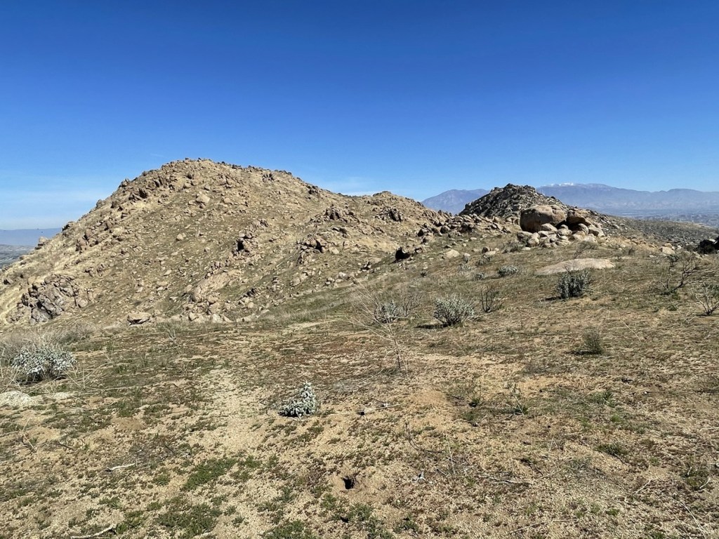
The summit soon came in to view.
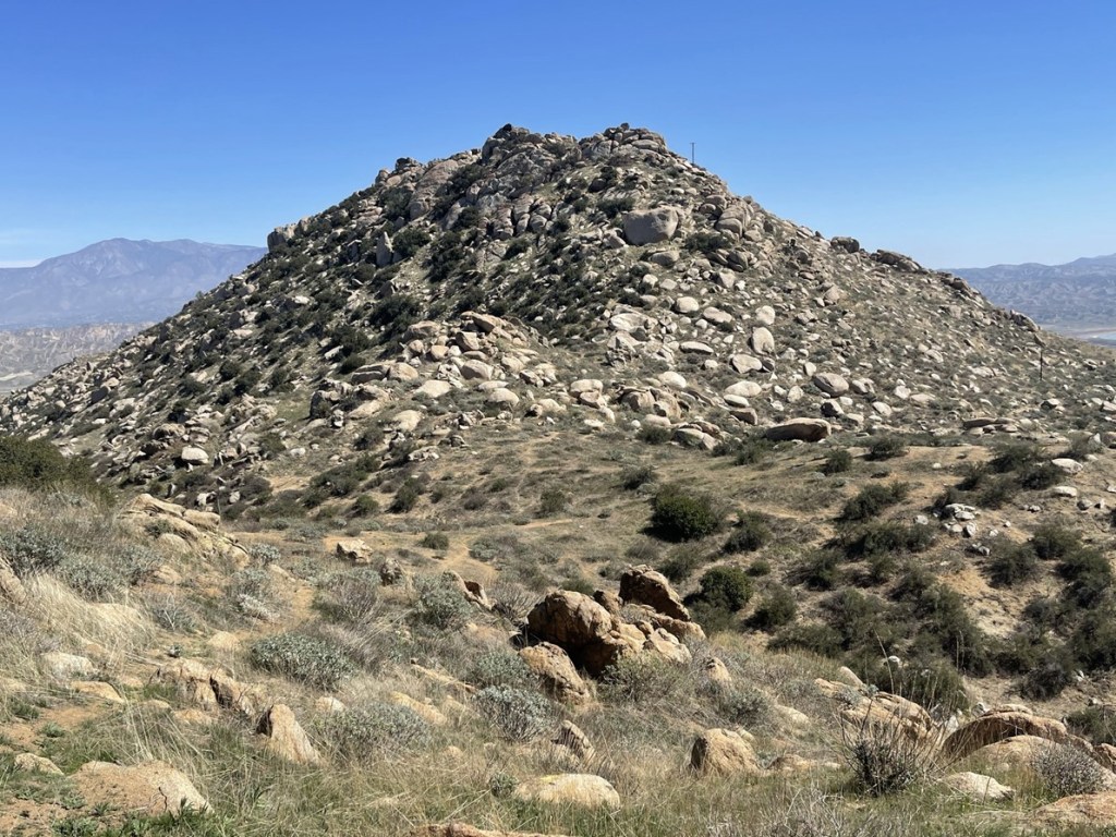
The final push was fairly steep.
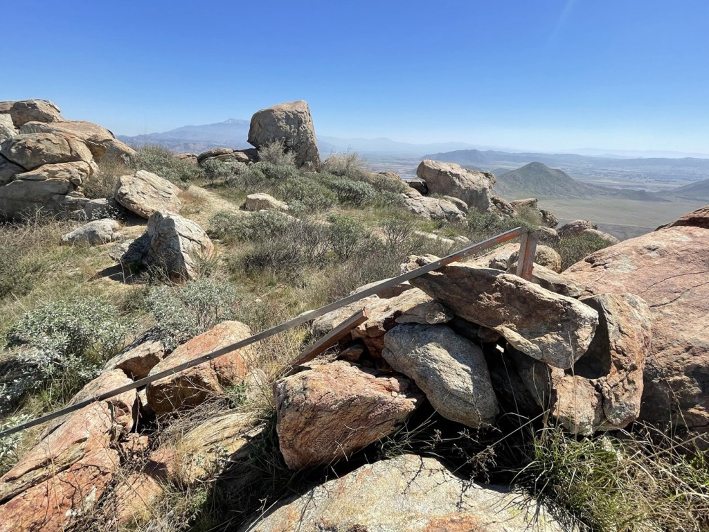
I reached the summit at 11:30am at 2.6 miles!
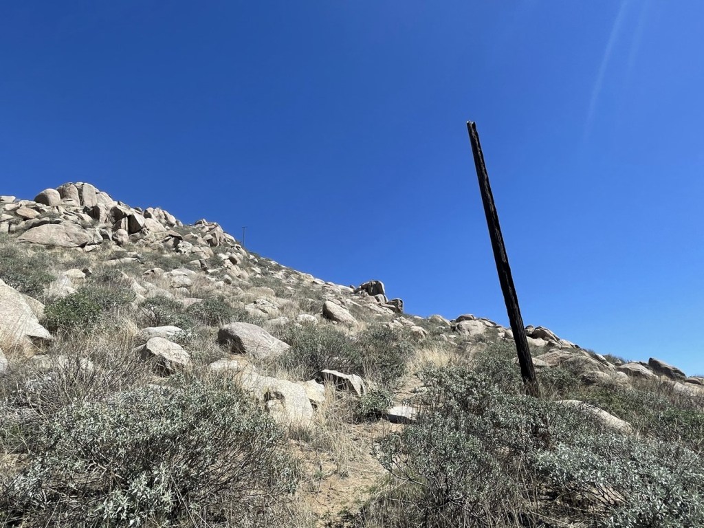
There was another hiker at the top, so I chatted briefly with him. I was surprised I hadn’t seen more hikers up to this point. There are no survey markers on the summit, and I did not locate a register. There once was a flagpole on top but recent reports indicated the wind had blown it over. I’m guessing that’s what this was:
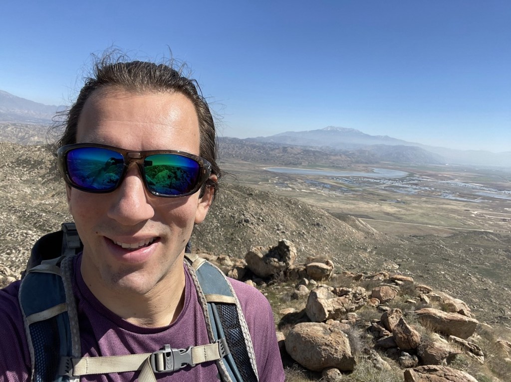
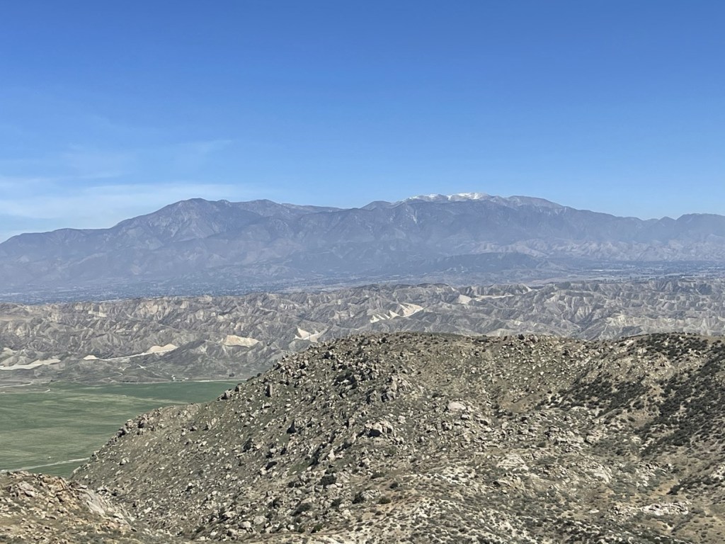
With just over 1000 feet of prominence, the views on Mount Russell are very good for such a low peak. It is situated between the major mountain ranges of Southern California, so all the usual peaks were visible, including San Jacinto:
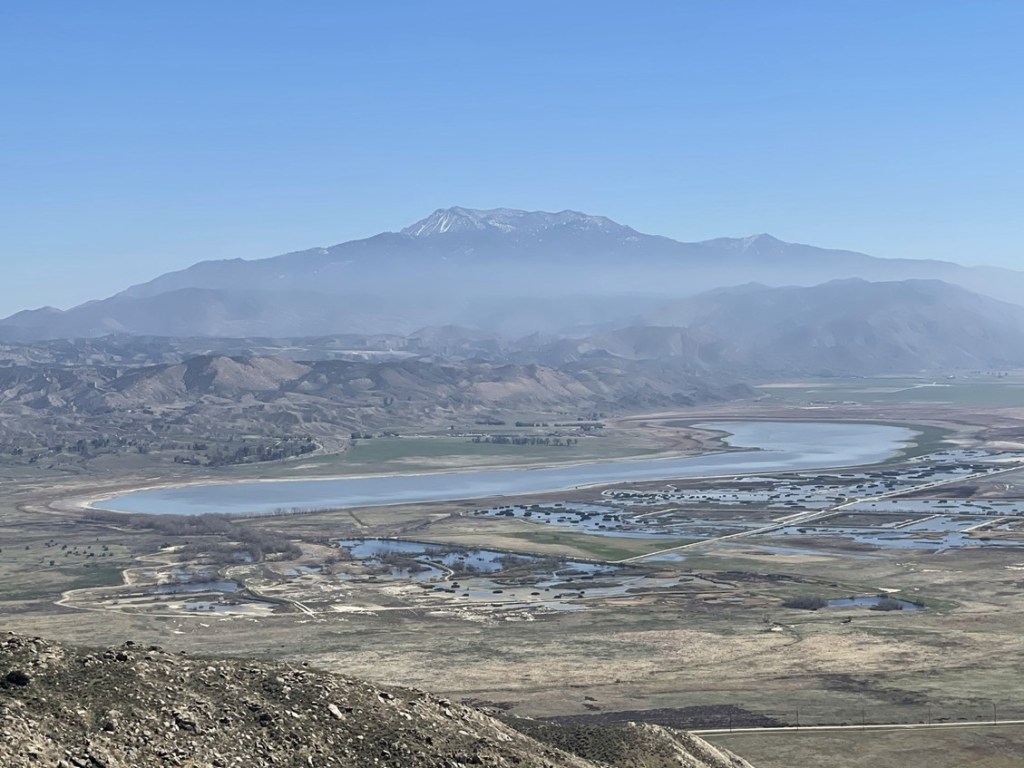
San Gorgonio:
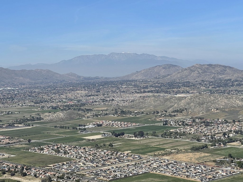
And Mount Baldy:
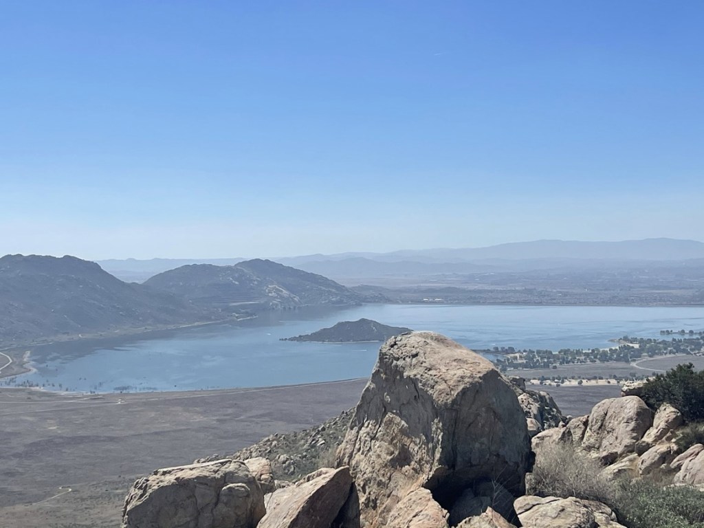
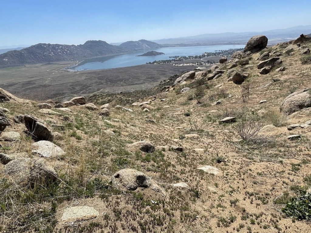
I also had an excellent view of Lake Perris to the south. I could see many boats in the water.
I wasn’t in a hurry, so I took a long break to enjoy the views. I began the descent just after noon.
I had considered descending towards the lake and then returning to my car along the main road. This would have added a couple miles, so I decided to play it safe with my knee and just head back to the trailhead.
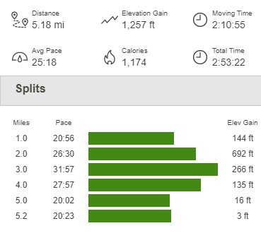
I made it back to the car at 1:15pm. This hike totaled 5.18 miles, 1257 feet elevation gain, and 2:53:22 total time.