Day 1
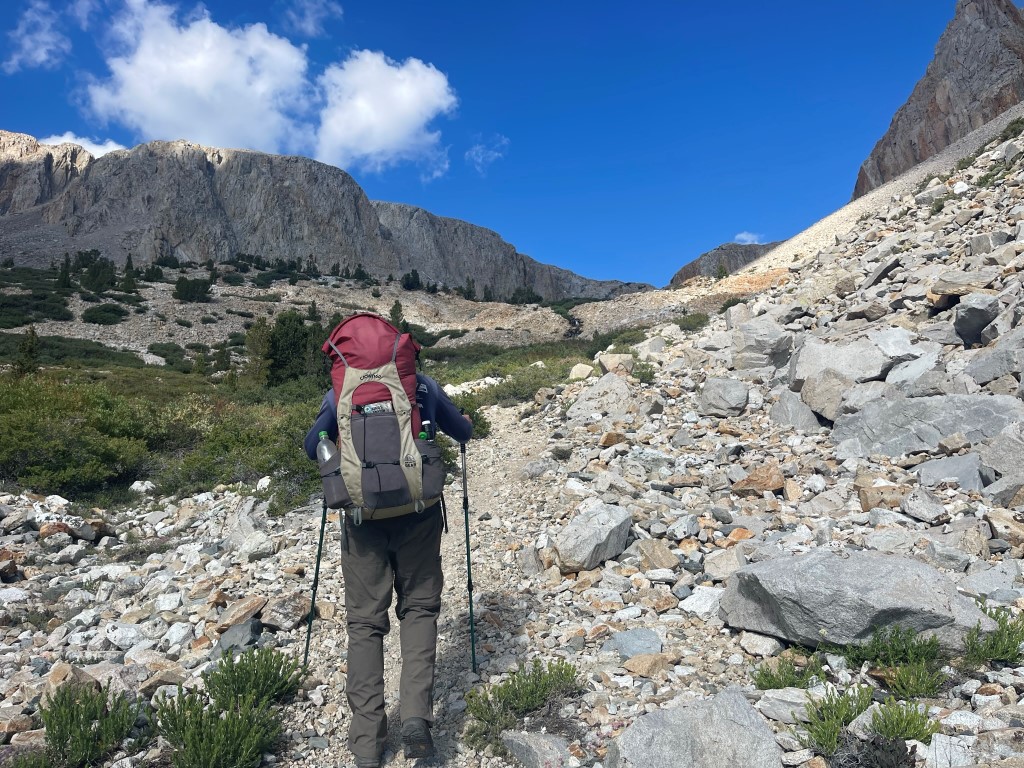
Mount Ruskin (12920 feet), Arrow Peak (12959 feet), and Pyramid Peak (12779 feet) are 3 peaks located west of the Sierra crest near the South Fork of the Kings River. Marcus and I planned to climb all 3 as part of a 3 day backpacking trip from Taboose Pass. We left San Diego Thursday night after work and drove 6 hours to the Taboose Pass Trailhead. Google Maps will get you to the trailhead no problem, but the road is one of the worst I’ve driven on in the Eastern Sierra (besides Red Lake). The last 4 miles on Taboose Creek Road are extremely rocky. Thankfully there are no big inclines, so 4wd is not needed. I would recommend high clearance and decent tires, although we did see a Prius get to within about a mile of the trailhead. We arrived around 11:30pm and slept a few hours. We woke up early the next day so we could beat the heat. We started hiking at 5:10am from 5454 feet above sea level.
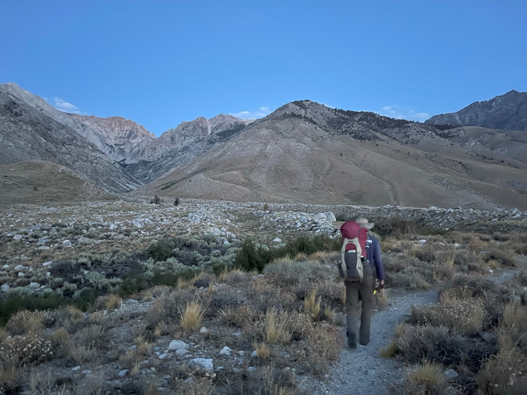
The Taboose Pass Trailhead is one of the lowest in the Eastern Sierra. It lacks shade for most of the way, so we hoped to get as high as possible before the day got too hot. We could see the moon setting behind the peaks in front of us.

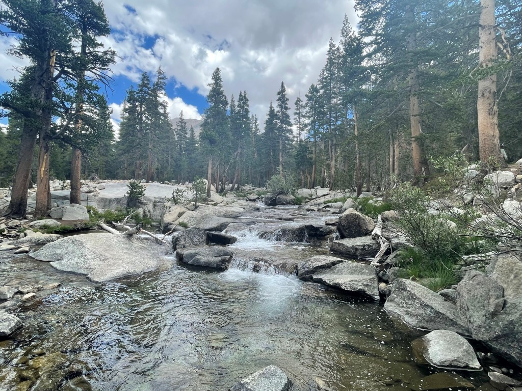
We hiked west up the canyon formed by Taboose Creek. The trail gets close to the creek at 1.8 miles so we filled up our water.

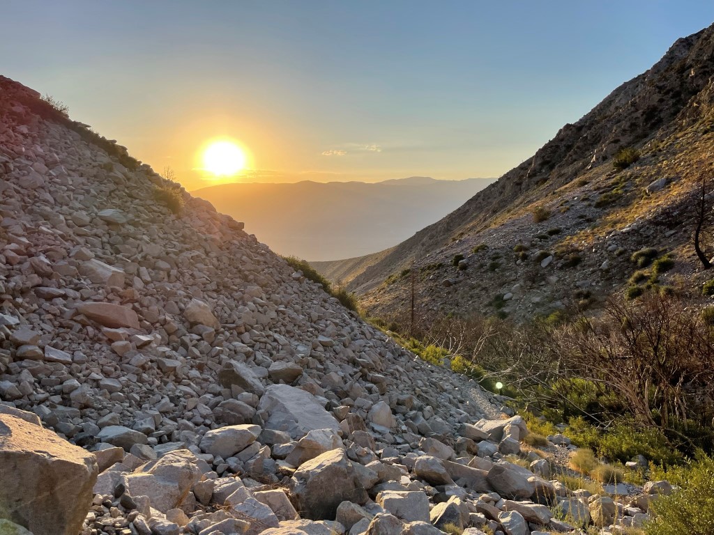
The sun rose above the Inyo Mountains behind us.
We saw many pretty wildflowers in the canyon.

The trail crossed Taboose Creek at 3.4 miles.
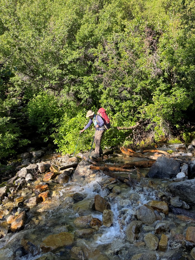
The trail crossed the creek a 2nd time at 4.8 miles.
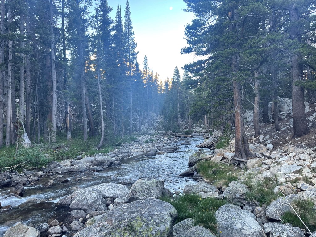
We continued west up the canyon as the vegetation began to thin out. It was a warm sunny day, but thankfully we were high enough now that the temperature was pleasant.
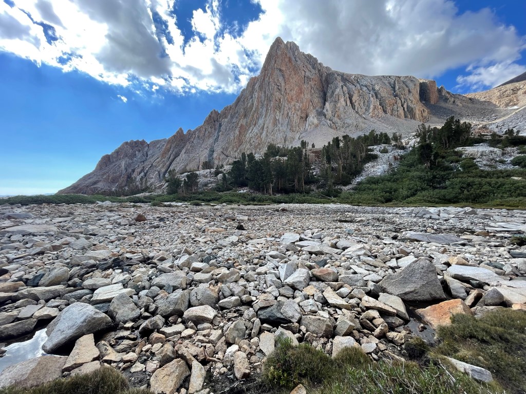
We were surrounded by many impressive rock features.
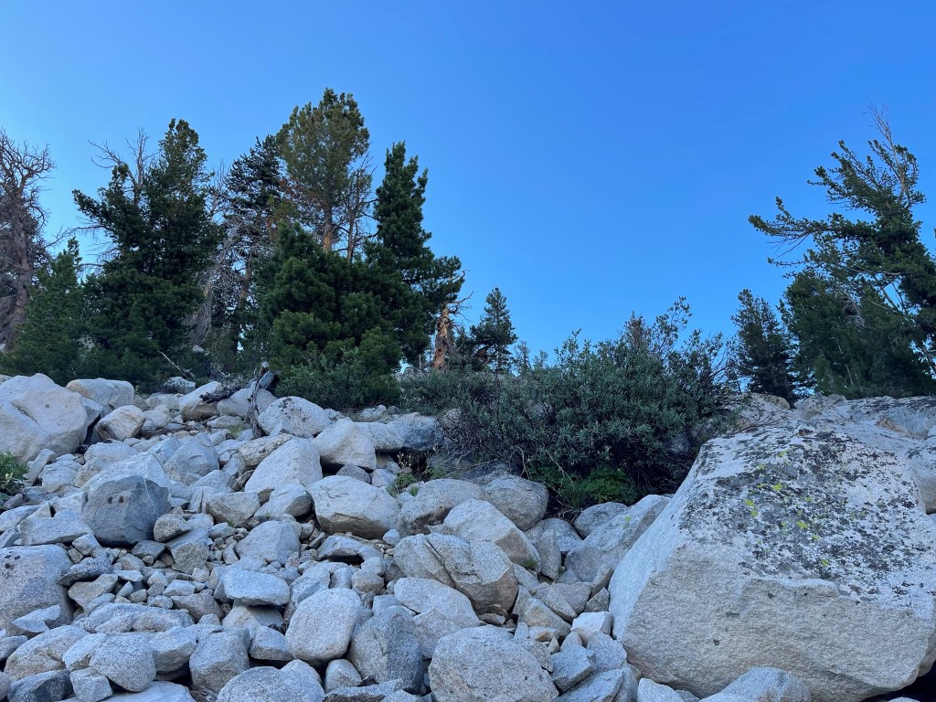
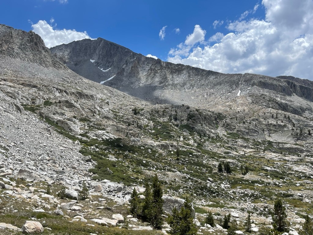
There were still some lingering snow patches as we neared the pass.

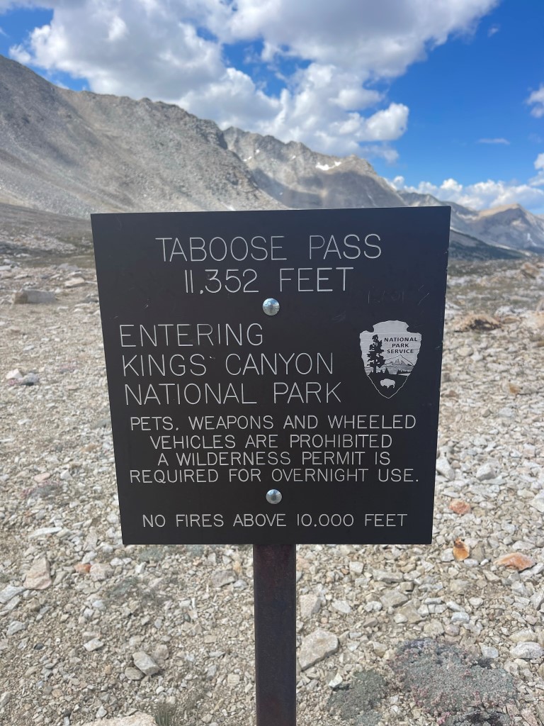
We reached Taboose Pass at 10:30am at 7.5 miles.
We took a nice break while we decided what to do. We considered hiking to Bench Lake to set up camp and spend the rest of the day there. We didn’t really want to sit around camp all day though, so instead we decided to climb Mount Ruskin despite knowing this would make for an extremely long day. With our minds made up, we hiked southwest from the pass.

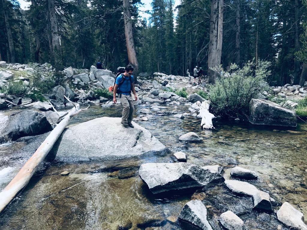
We reached the Pacific Crest Trail/John Muir Trail at 10 miles. We turned north and descended to the South Fork of the Kings River, which we reached at 11.3 miles.
We saw a number of hikers resting here. We made our way carefully to the other side.
We continued southwest on a trail that parallels the Kings River. The trail eventually faded out, but we simply continued along the north side of the water. At 13.7 miles, we dropped our overnight gear and turned north to head uphill towards Cartridge Pass. At this point we ran into 2 backpackers who were descending from the pass. They informed us that there was a decent trail that switchbacks up to the pass. We found the trail and began making our way north.

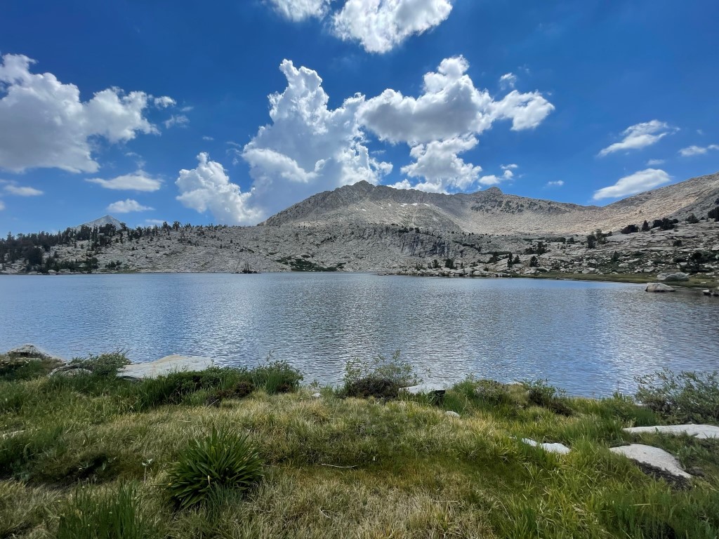
At 14.8 miles we reached an unnamed lake at 10800 feet.
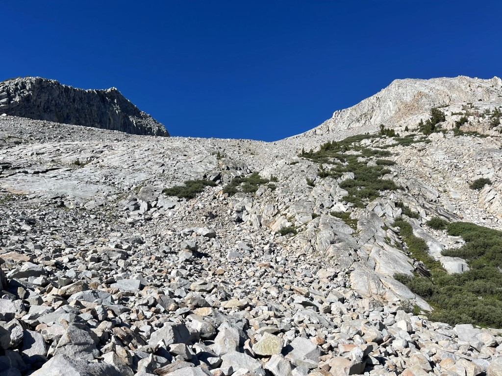
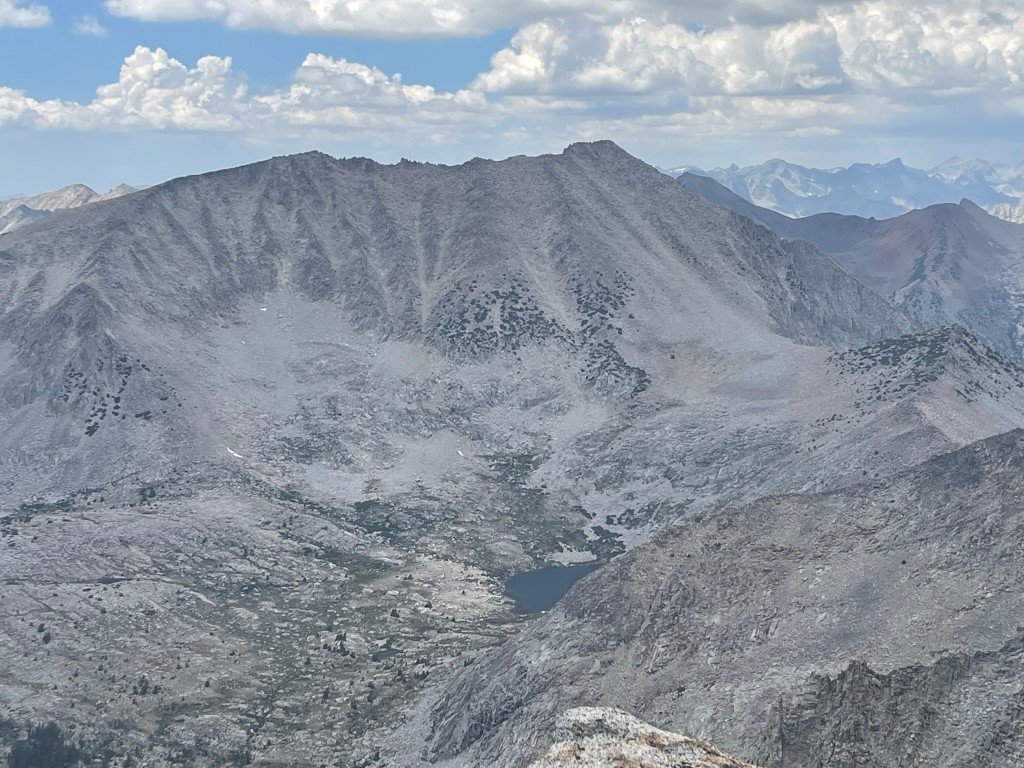
We went north past the lake and then hiked up some slabs at the foot of Mount Ruskin.
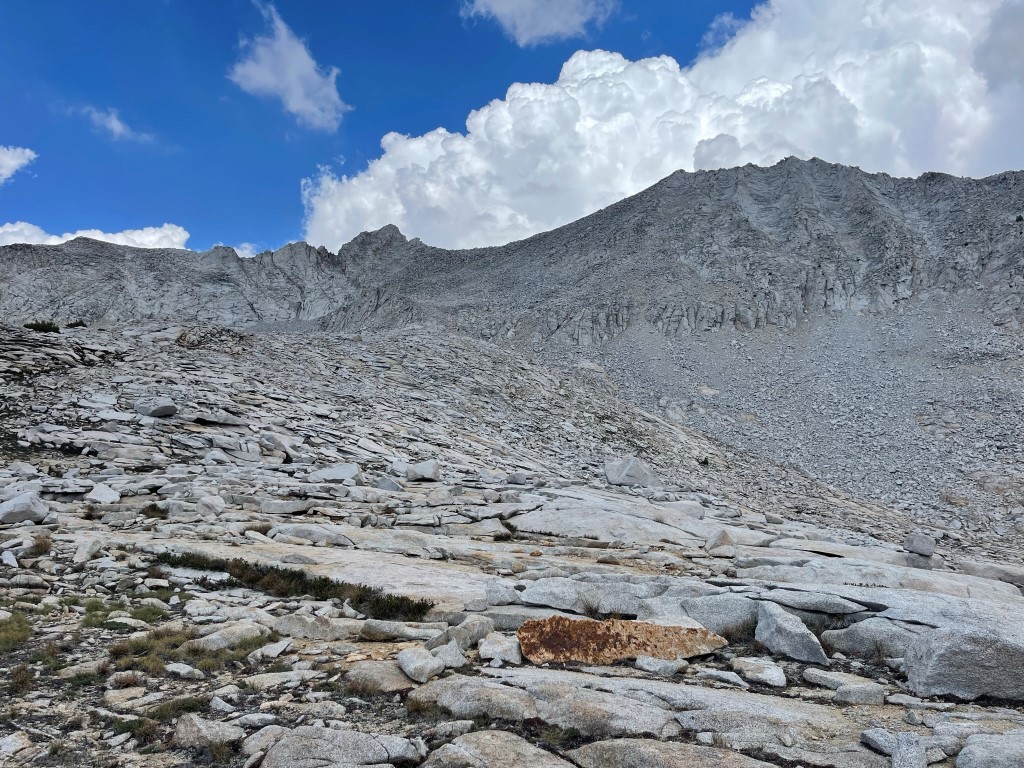
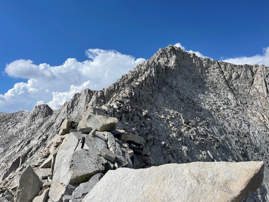
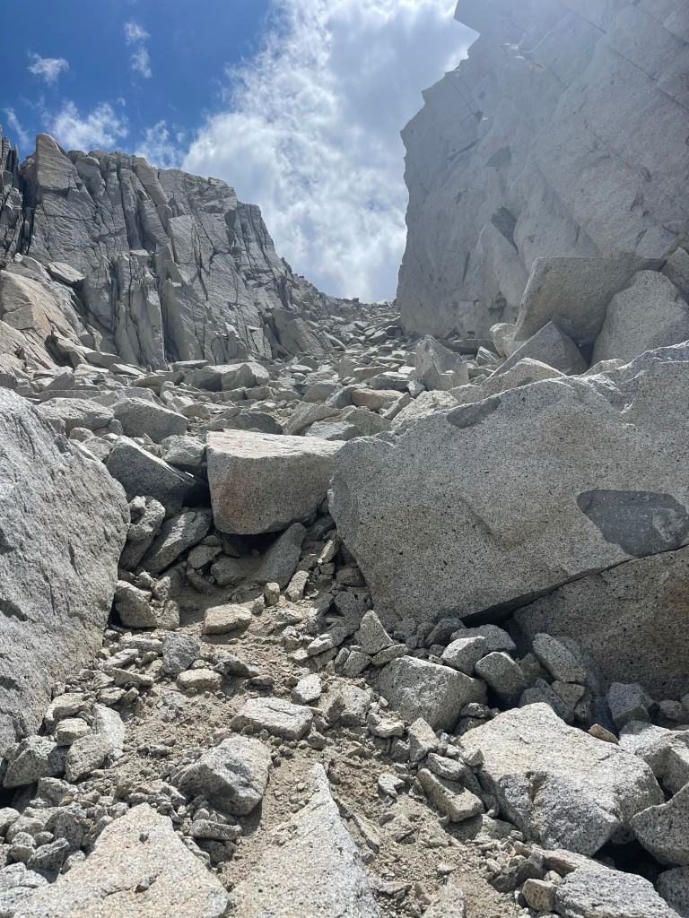
The slabs turned to talus as we climbed up the southwest face. We heard one rumble of thunder in the distance around this time.
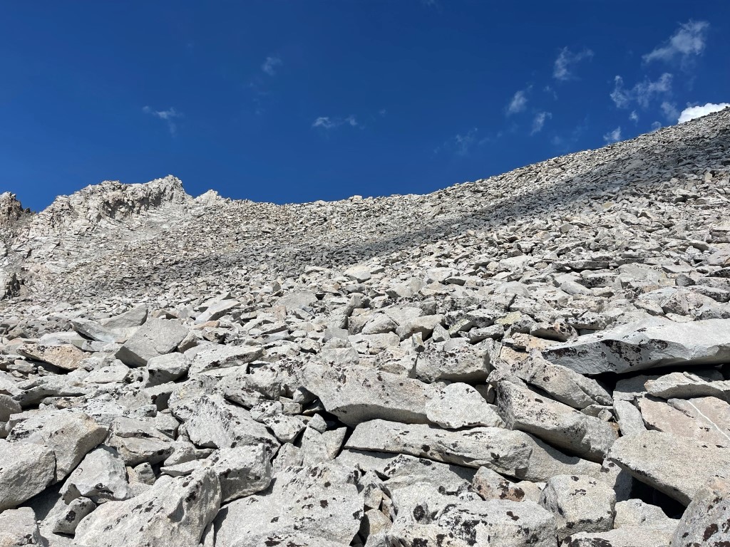
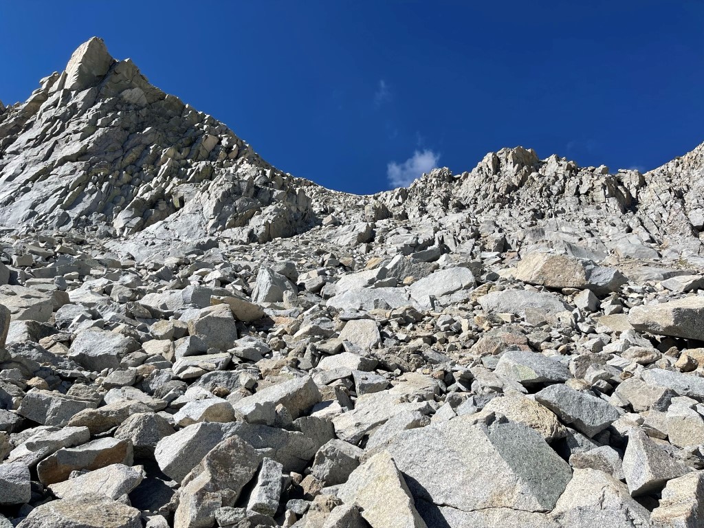
Eventually we reached the south ridge. We turned north towards the summit.
We dropped below the ridge on the west side and then climbed a chute beneath the summit.
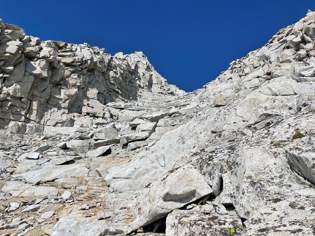
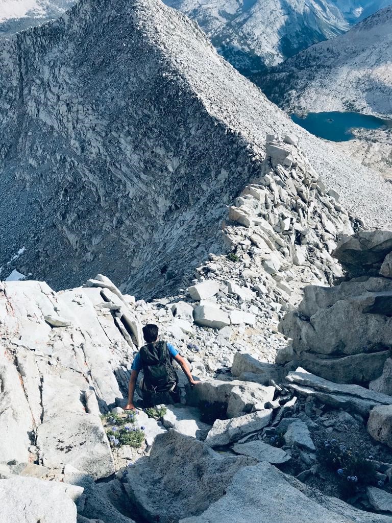
We reached the top of the chute. There was about 100 feet more of class 3 climbing to reach the top. At one point there is a choice of going left or right. I went right which led us unto some class 4 territory. The rock was solid, and it wasn’t exposed so we made it up no problem. We took the easier class 3 option on the way down.

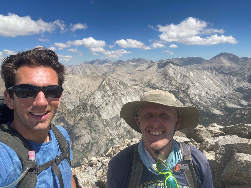
We reached the summit at 4:55pm at 16.4 miles!

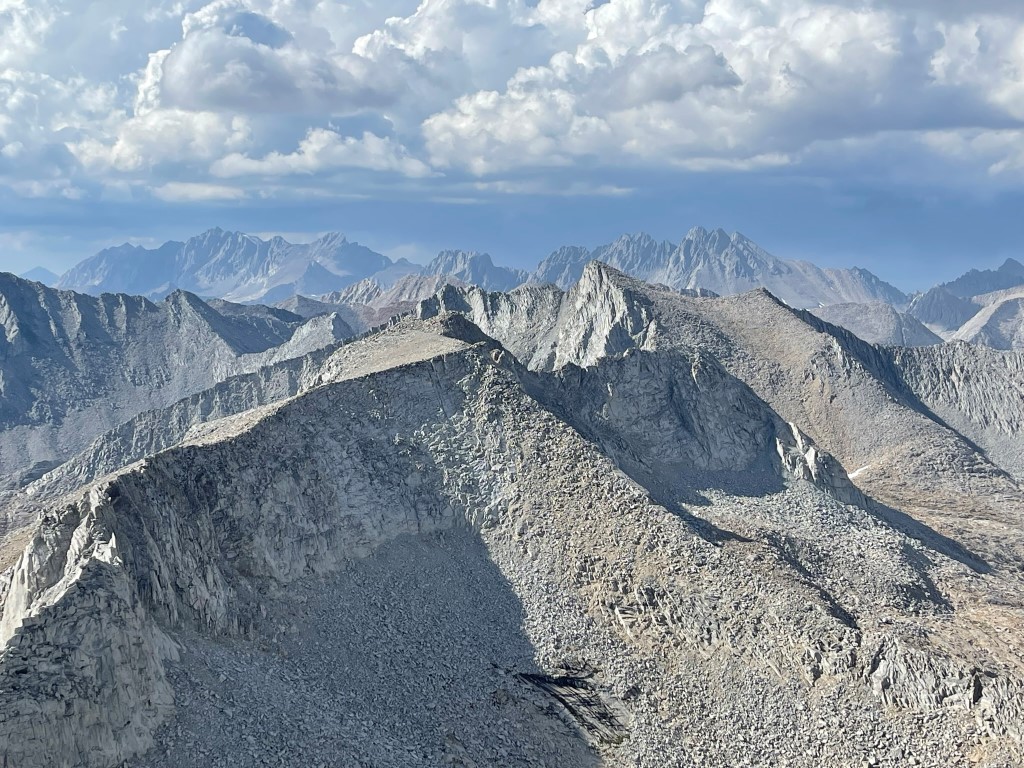
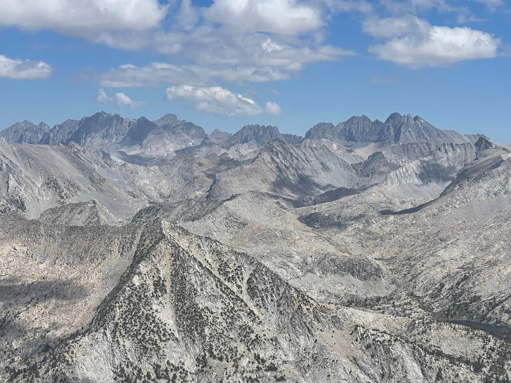
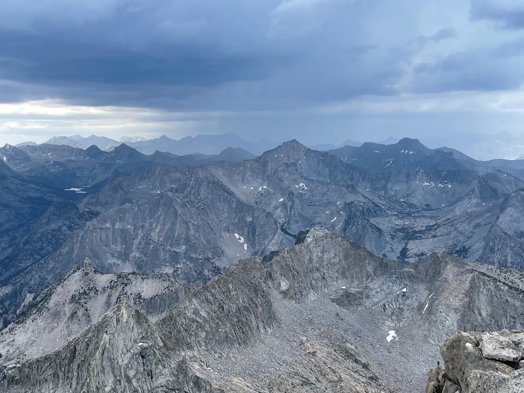
We signed the register which had been placed in 1993. The most recent entry was from July 13. The views were pretty good despite some cloud cover. To the north we could see North Palisade, Mount Sill, Norman Clyde Peak, and Middle Palisade:
Split Mountain to the northeast:

Mount Pinchot and Mount Wynne to the southeast:

And Arrow Peak to the south:
After a nice break we descended down the class 3 section.
We descended slightly north of our ascent route. This way was more direct and was a little sandier which made for an easier descent. We reached the lake again at 17.7 miles and took another long break. We were both feeling very tired at this point.
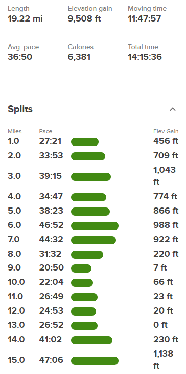
We hiked back down to our gear and set up camp near the north shore of the river around 9400 feet. It was an okay campsite but was very buggy and a bit warm. Stats for day 1 were 19.22 miles, 9508 feet elevation gain, and 14:15:36 total time.
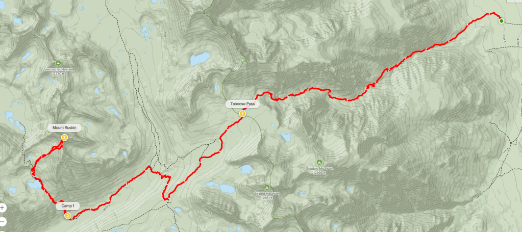
Day 2
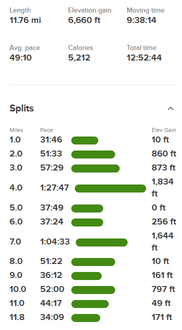
For day 2 our plan was to climb Arrow Peak and Pyramid Peak and then get to Bench Lake to spend the night. We started hiking at 6:16am from 9358 feet above sea level. We started southwest by following the river.
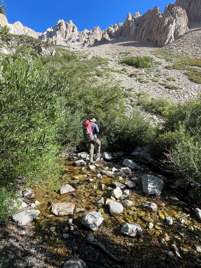
We crossed the river and then hiked up a rocky slope.
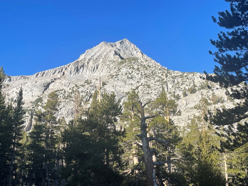
We had a good view of Arrow Peak above us.
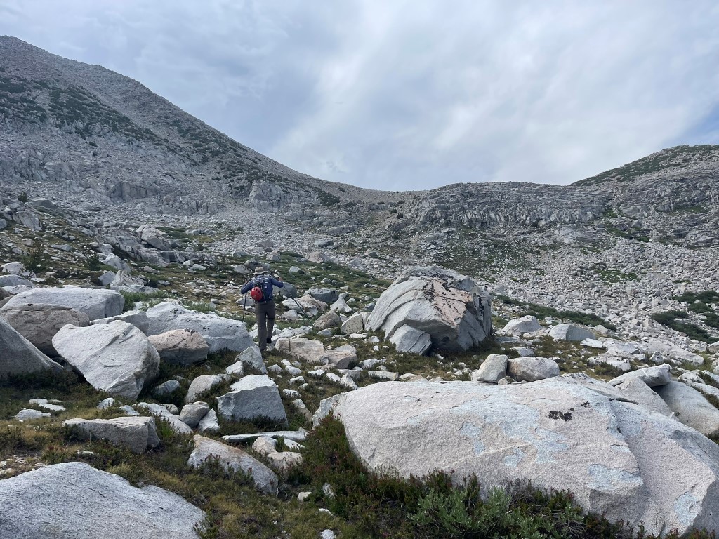
We crossed a small creek and then dropped our overnight gear. The bugs were swarming us near the creek. We began climbing up a rocky chute to the southwest.
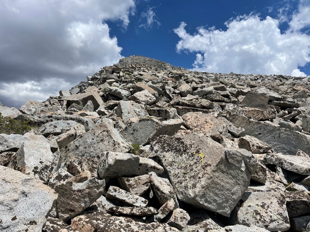
Once we were above the initial chute, we continued climbing up a talus slope.
We climbed up another steep, loose chute at the top of the slope and reached a saddle at 11800 feet. We turned right to climb the peak’s southeast slope.
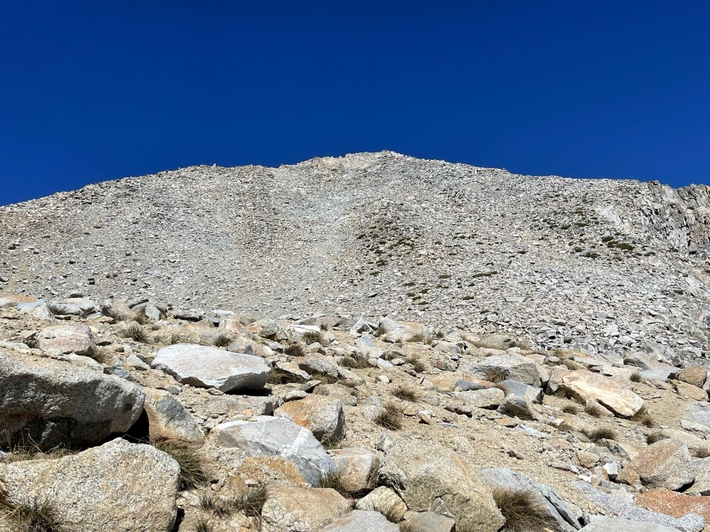
The slope was straightforward class 2 all the way.

We reached the summit at 10:38am at 3.7 miles!
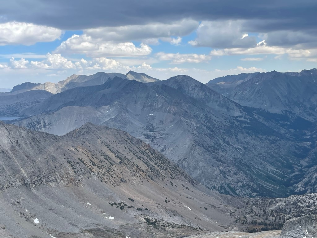
We located the register but there was no pen, so we were unable to sign it. It was placed in 2012 and was most recently signed on June 21. To the north we could see North Palisade, Mount Sill, Palisade Crest, Norman Clyde Peak, and Middle Palisade:
Split Mountain and Cardinal Mountain to the northeast:

After a nice break we began descending to an unnamed lake between the 2 peaks.
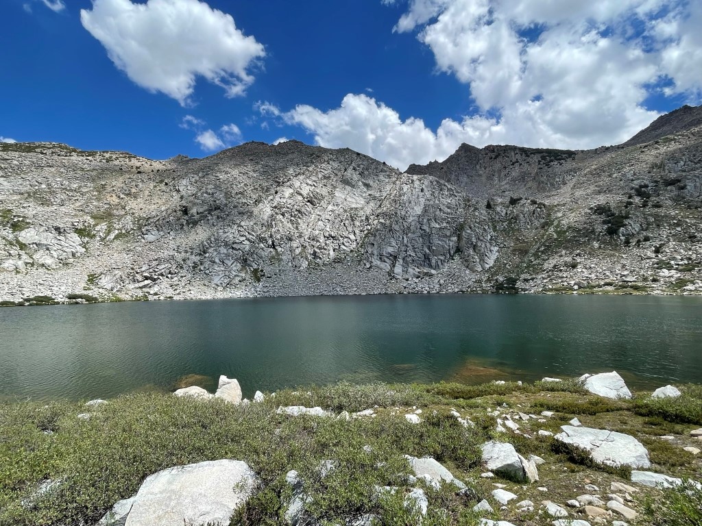
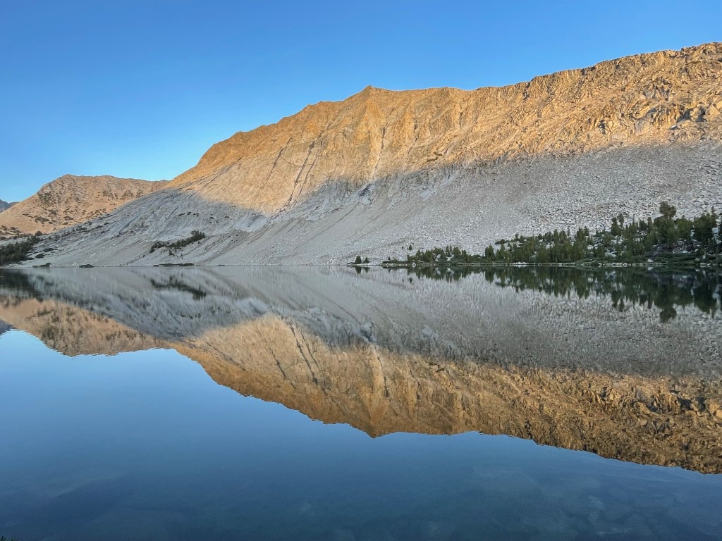
We returned to the 11800 foot saddle and then went south towards the lake. We reached the lake and stopped to fill our water bottles.
We continued south towards Pyramid Peak.
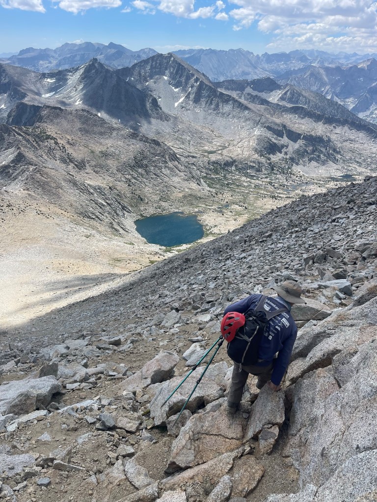
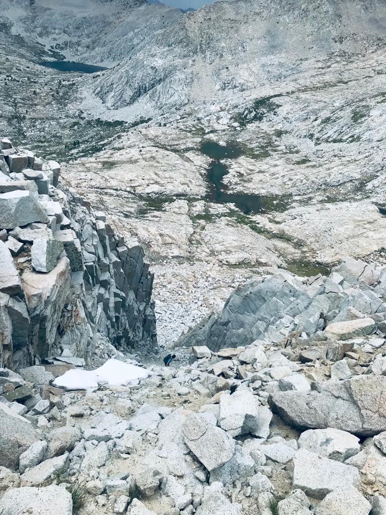
We went over a few ups and downs as we neared the peak. We approached a narrow 200 foot chute that we needed to climb to gain the west ridge.

We made our way carefully up the chute.
We reached the top of the chute at 11560 feet. We turned east towards the summit.

The ridge was straightforward class 2 talus. Storm clouds were starting to build, and we could hear thunder to the south.
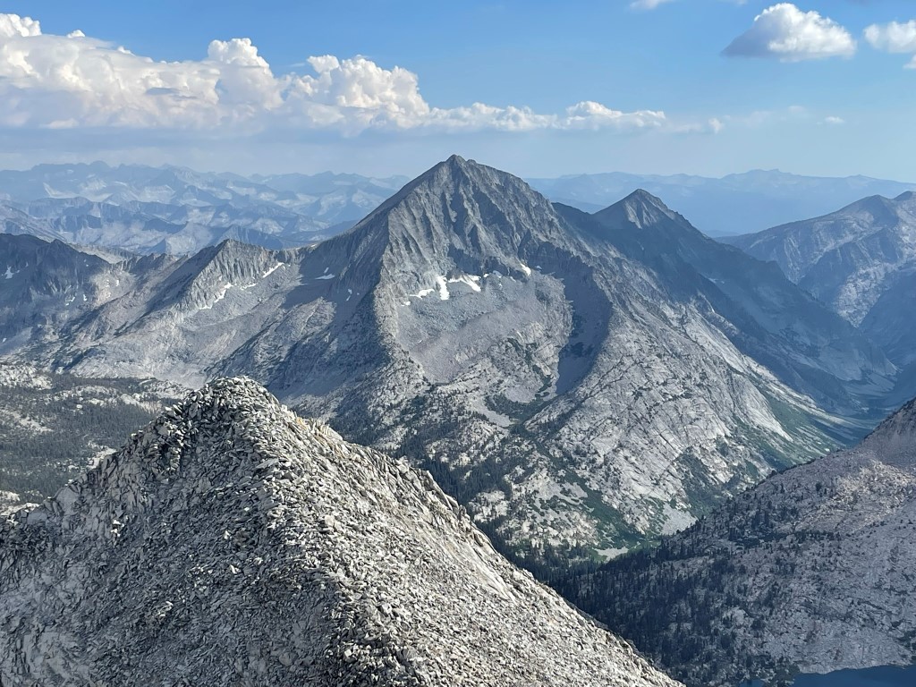
We scrambled up the last few hundred feet as quickly as we could as the weather grew more threatening. We reached the summit at 2:19pm at 6.9 miles! We did not find the register, but I did locate an empty can. We could see Mount Stanford, Mount Clarence King, and Mount Gardiner to the south:
Mount Baxter and Acrodectes Peak to the southeast:
Arrow Peak to the north:
We only stopped long enough to catch our breath before descending. There was now thunder on both sides of us. We could see a few lightning strikes far to the south, in the vicinity of Mount Whitney. We descended the ridge as quickly as possible and then climbed down the narrow chute. We were very happy to get off the exposed ridge.
We made it down to the bottom of the chute. We felt like we were in a safe spot if the storm moved right on top of us, but unfortunately we knew we still needed to go up and over the 11800 foot pass southeast of Arrow Peak to get back to our overnight gear. Even worse, dark clouds had moved right over the pass and parked themselves there. We decided to wait in the chute where we were protected to see if the storm would move out.
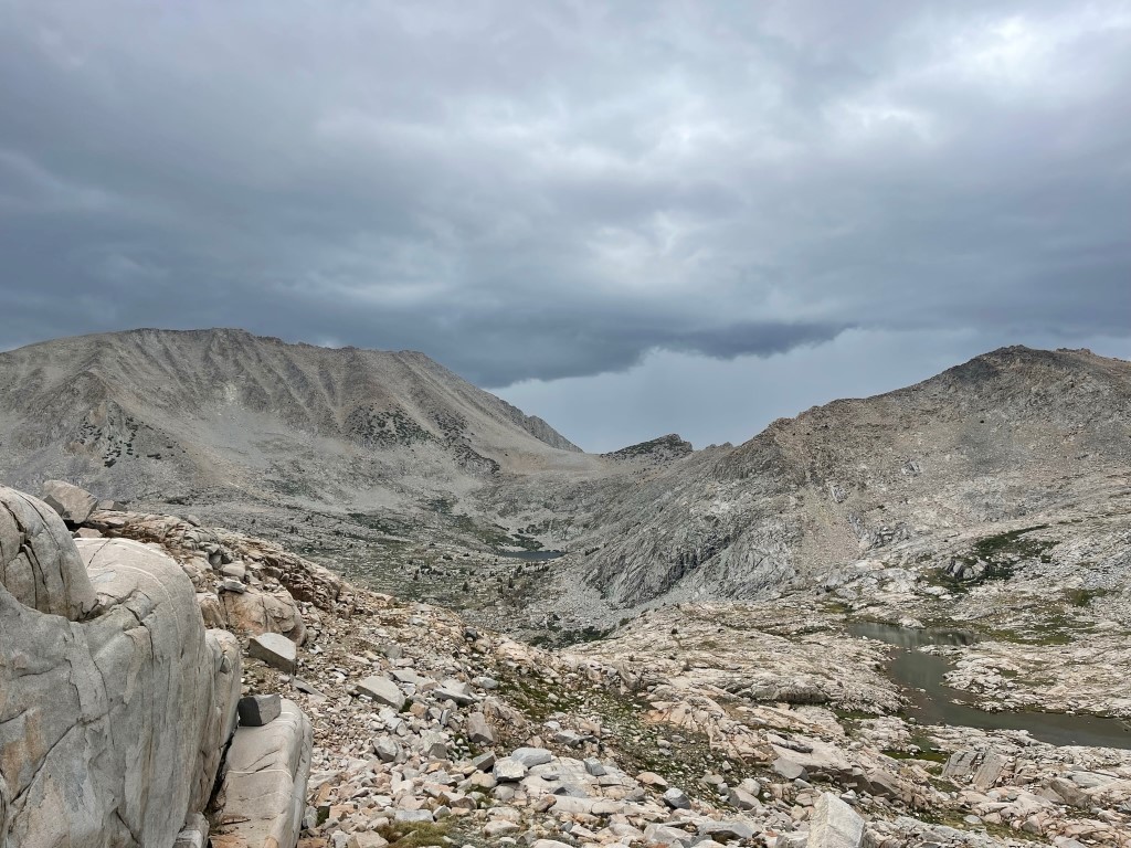
We waited for 10-15 minutes but the dark clouds did not move. They didn’t seem to be getting worse though, so we eventually decided to continue. As we neared the lake, the clouds started to part, and the sun came back out. We reached the lake at 8.9 miles and took another short break to refill our waters. We felt lucky that we didn’t even get rained on this whole day (besides a few sprinkles). We then started climbing up to the 11800 foot pass.
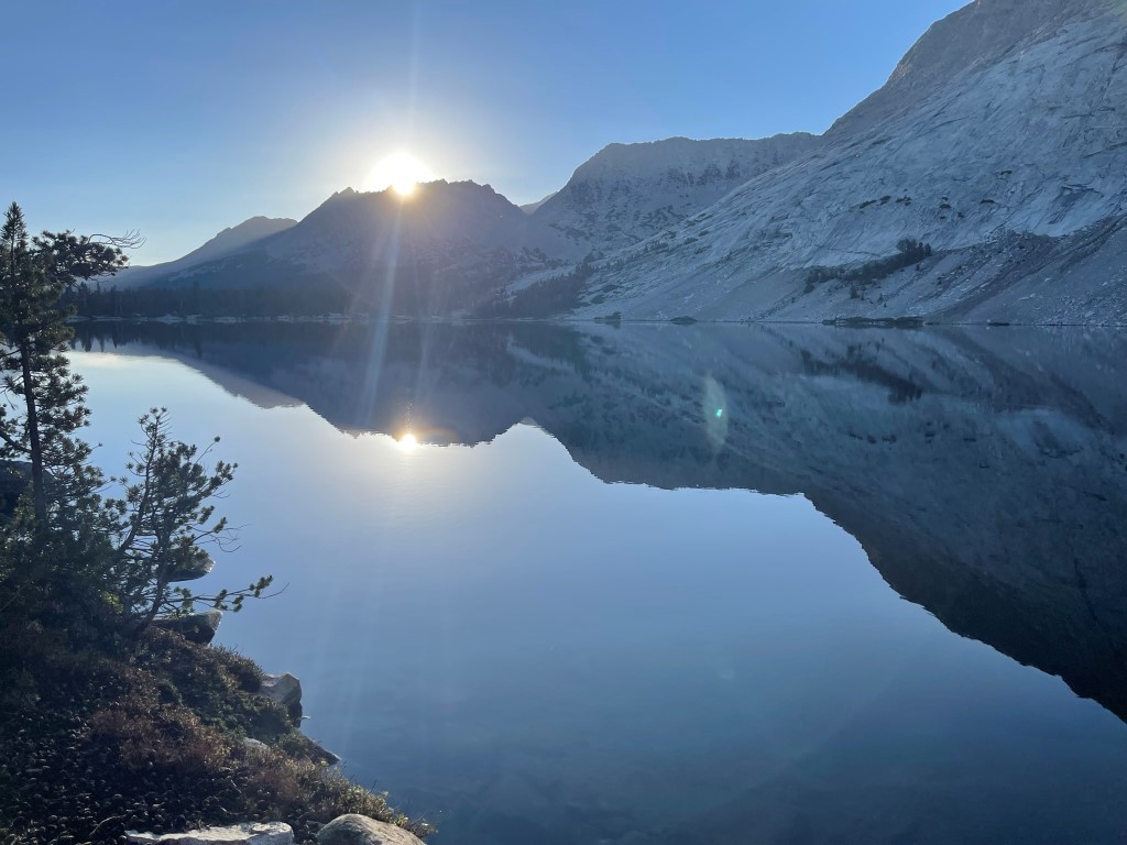
We reached the pass and then descended the other side. We reached our overnight gear at 10.5 miles. Our gear was wet, so it had definitely rained over here. We packed up and then hiked another mile or so north to Bench Lake. We reached the lake at 7:09pm and set up camp.
This campsite was better than the first night, but it was still buggy and slightly warm. Stats for day 2 were 11.76 miles, 6660 feet elevation gain, and 12:52:44 total time.
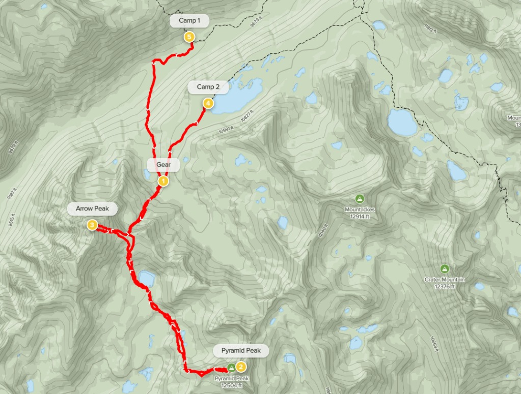
Day 3
Our plan for day 3 was to simply hike back up and over Taboose Pass and descend to the trailhead. We started hiking at 6:35am from 10625 feet above sea level.
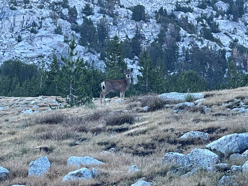
We found the trail on the north shore of the lake and headed northeast towards the pass. We spotted a deer early on.
We took a slight detour around the ranger station located near the PCT/JMT junction. We realized on Friday that we had forgotten our wilderness permit, so we didn’t want to run into the ranger and explain why we didn’t have one.

Our legs were already feeling tired as we neared the pass.

We reached the pass at 4.7 miles. We took a long break before beginning the long 6000 foot descent into the desert.
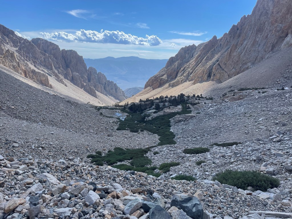
It got very warm as we descended, but thankfully a light breeze and intermittent clouds made it tolerable. We made pretty good time, only stopping 2-3 times to refill our waters from the creek. We reached the trailhead at 12:37pm. Stats for day 3 were 12.36 miles, 1027 feet elevation gain, and 6:01:37 total time.


