Day 1
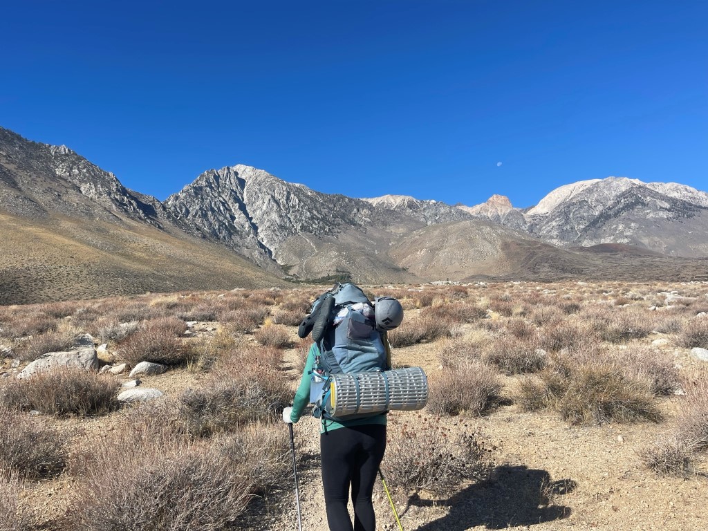
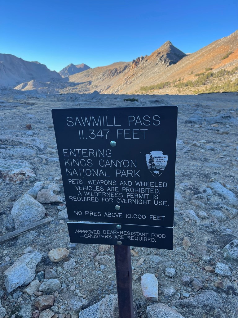
Sawmill Pass, located at 11309 feet, is positioned along the Sierra crest between Baxter and Taboose Passes. My new friend Lindsey and I planned to climb a few SPS peaks north of Sawmill Pass over a 3 day backpacking trip. The 4600 foot trailhead for Sawmill Pass is the lowest in the Sierra, so we knew the first day was going to be tough. The trailhead can be reached via a short drive from US-395. From the highway, I went left on Black Springs Road, then right on Tinemaha Road, and then left on Division Creek Road. The final mile or so is dirt but should still be passable for any car. The small parking area is located on the left hand side. We began hiking at 10:06am from 4656 feet above sea level.
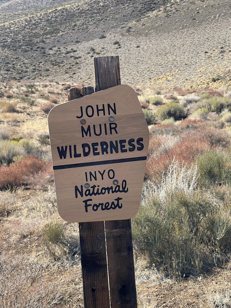
Despite being mid-October, it was quite warm in the sun at such a low elevation. We passed the wilderness sign about a mile in.
We followed the trail as it meandered southwest through the desert and started ascending via long switchbacks. We approached a large rock formation called the Hogsback, which was located on the opposite side of the canyon formed by Sawmill Creek.
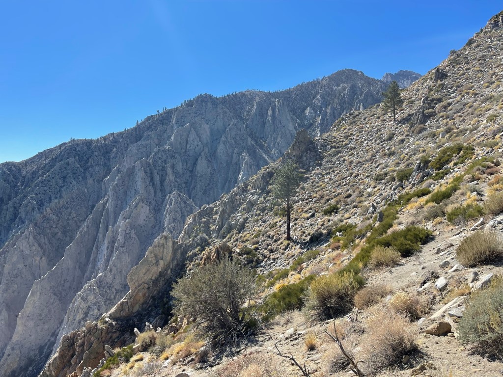
The trail turned a corner and began ascending Sawmill Creek. We were happy to get underneath some tree cover.
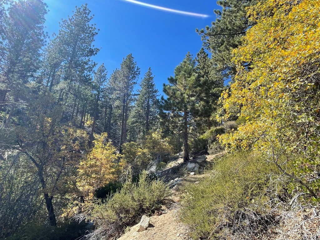
We noticed some pretty fall colors on the far side of Sawmill Meadow.
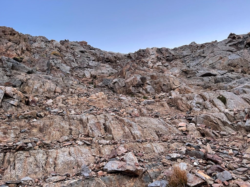
A few section of the trail were badly damaged above Sawmill Meadow due to washouts caused by the heavy monsoon rains in July.

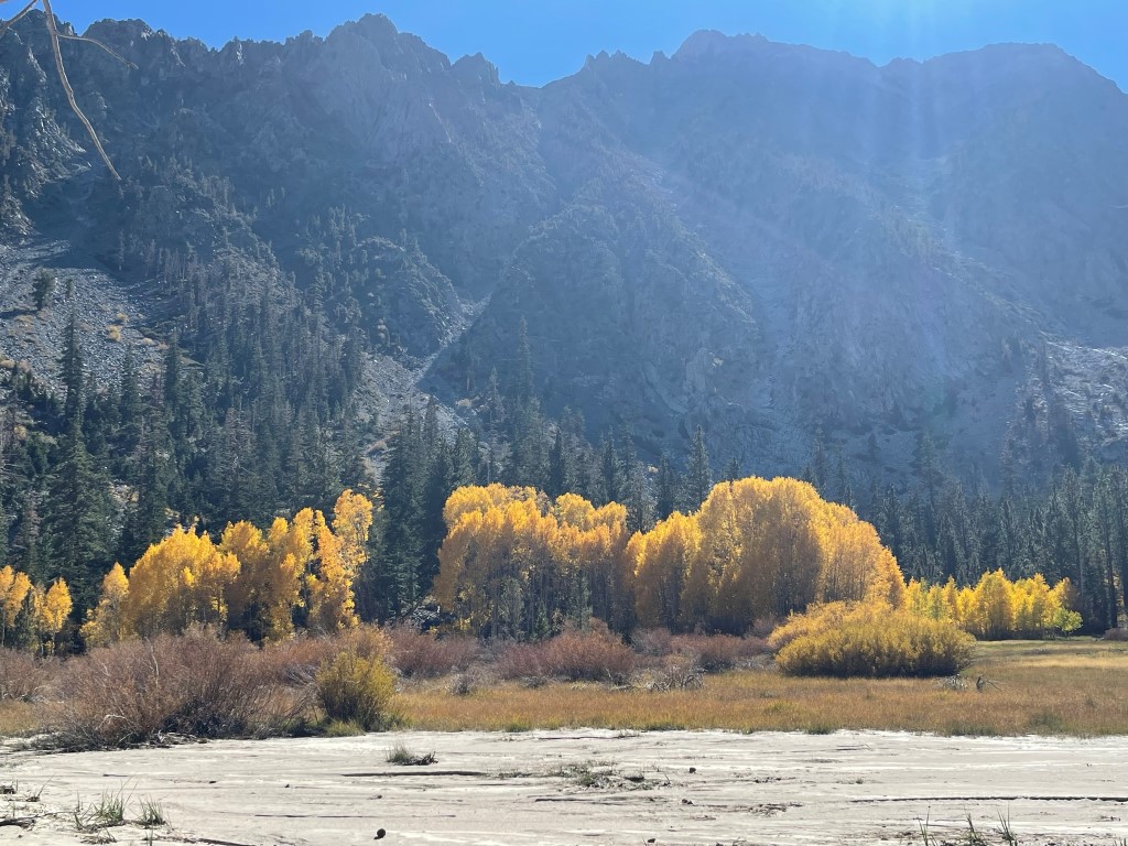
We passed Mule Lake at just under 10000 feet. The lake turned out to be dry which would be a common them throughout the weekend.
Shortly after that we passed Sawmill Lake at just over 10000 feet. The trail doesn’t go right by the lake, but we caught a few glimpses of it through the trees.

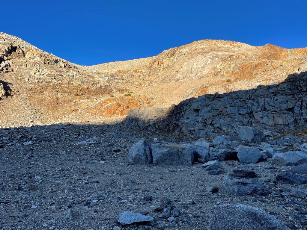
We continued up the steep trail as it became rockier above the lake. We eventually reached Sawmill Pass at 10 miles on the dot.
We had a quick snack break but then pressed on. It was after 5pm and we still had a few miles to go. We hoped to get near the base of Mount Perkins before calling it a day.

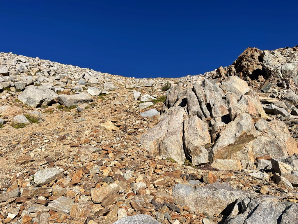
We passed a few small lakes as we descended the west side of the pass.
The trail is not maintained beyond the pass, so it became a little difficult to follow in the fading light.
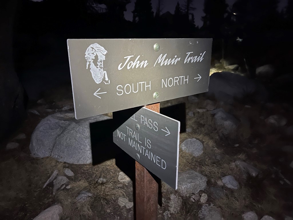
At 13.4 miles we reached a junction with the JMT. We had descended 1000 feet since the pass. We turned on our headlamps at this point.
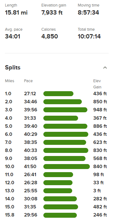
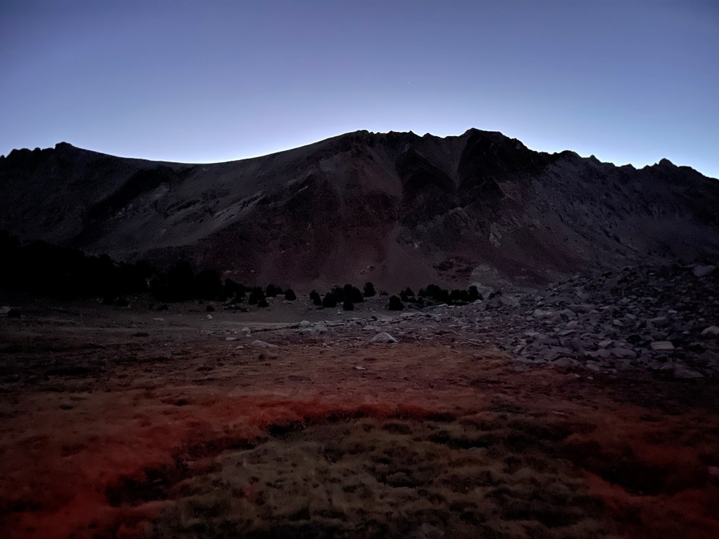
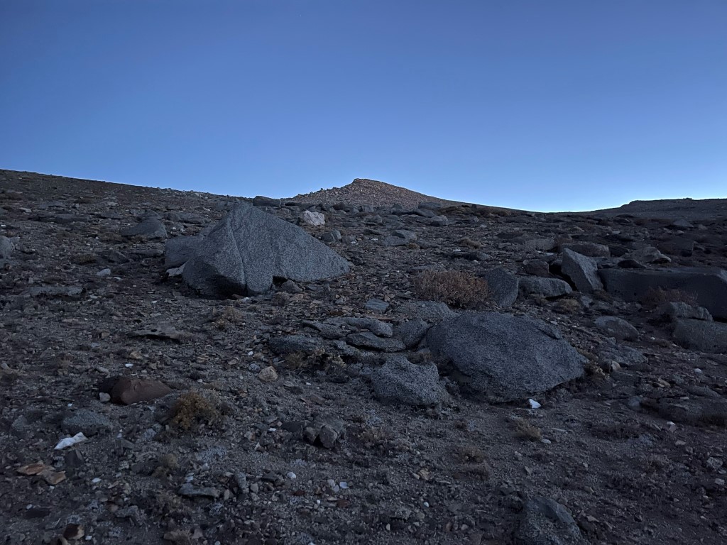
We hiked north on the JMT for a few miles in the dark. At one point we saw 3 sets of glowing eyes. This startled us for a moment before we realized they were just deer. We eventually left the trail and set up camp near a small pond located in between Mount Perkins and Mount Wynne. Stats for day 1 were 15.81 miles, 7933 feet elevation gain, and 10:07:14 total time.

Day 2
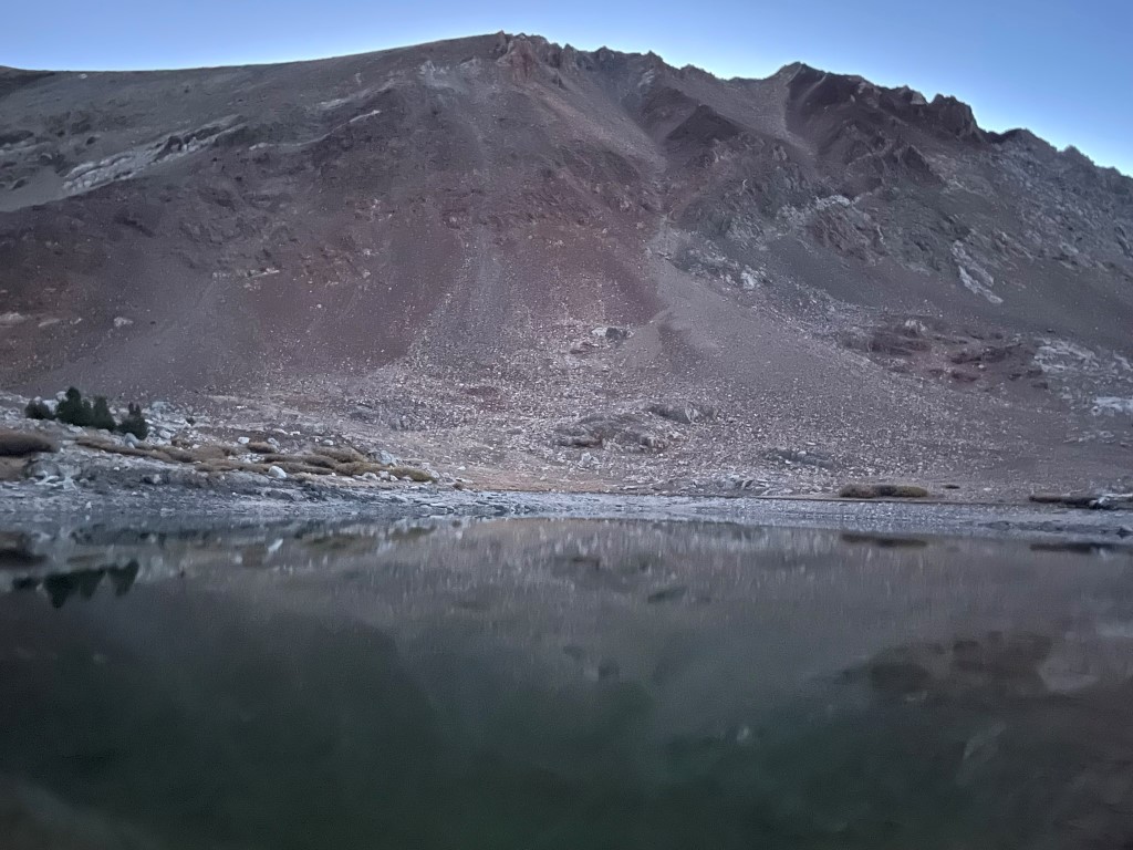
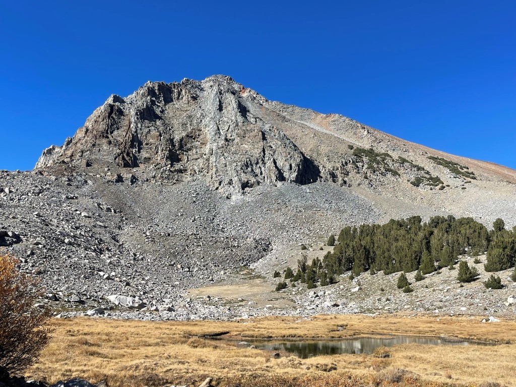
The plan for day 2 was to climb Mount Perkins (12566 ft) via the west slope, Mount Pinchot (13494 ft) via the east ridge, and then make the class 3 traverse to Mount Wynne (13179 ft). We woke up early and began hiking east towards Mount Perkins at 6:21am from 11178 feet above sea level.
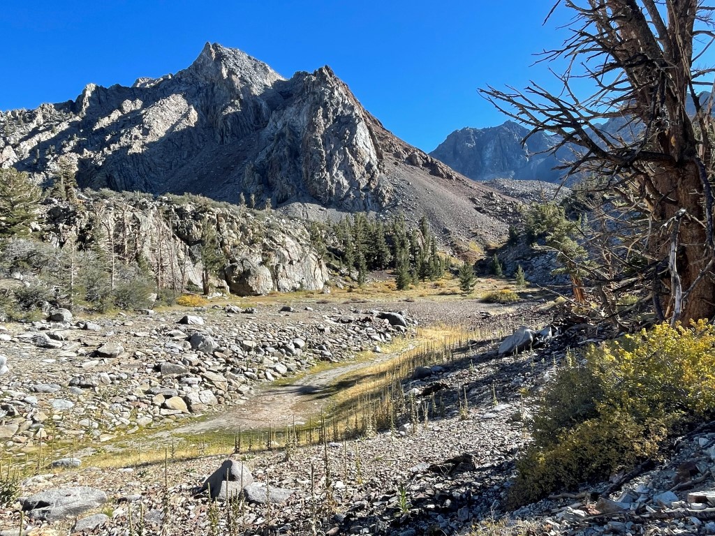
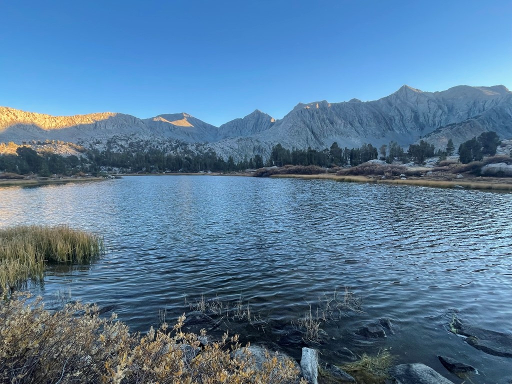
We passed a small lake which was almost dry and then a larger lake right after.
We quickly arrived at the base of Mount Perkins and began climbing up the steep west slope.
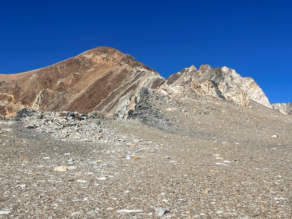
We scrambled up a short section of class 2 rock.
We then found ourselves in a long, wide chute that went all the way to the top. We stayed to the right side of the chute where the rock was more solid.
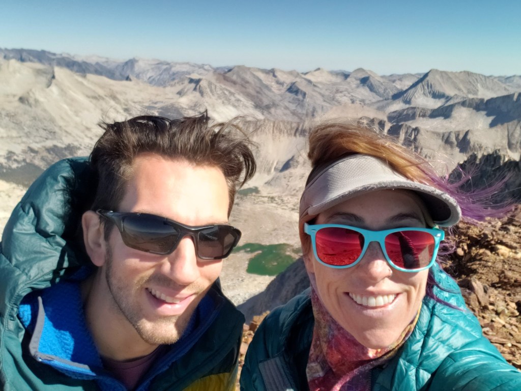
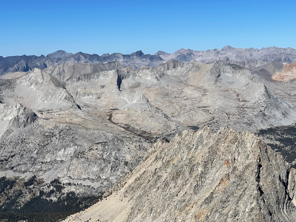
We reached the summit at 7:38am at 1 mile!
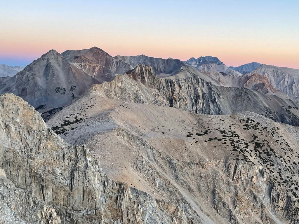
We signed the register which dated back to 2019. The most recent entry was from September 25. We had a great view of the next 2 objectives, Mount Wynne (left) and Mount Pinchot (right).
We had breakfast on the summit and then descended the chute. We stuck more towards the middle of the chute where it was sandier. Unfortunately, the sandy sections were few and far between, so the descent was quite tedious.

After descending Perkins, we turned north and hiked into the basin between the 3 peaks.

We hiked up a gently sloping ramp towards the east ridge of Pinchot. We had a really nice view of Pinchot’s red color as well as a small dry lake below.

We turned northwest as we neared the ridge.
We gained the east ridge about 1100 feet below the summit and began the long class 2 scramble.

As we were climbing, I spotted a single bighorn sheep on top of the ridge. It scampered away to the north, so I quickly climbed to the other side of the ridge and saw 7-8 sheep running downhill away from me. They were out of sight by the time I could even think about taking a picture. A bit later we had to drop below the ridge on its south side to avoid some rugged features on top of the ridge.

We made it past the rough spot and regained the ridge about 600 feet below the summit. We then encountered a class 3 section of white rock that we climbed up.
We reached the top of the class 3 section where we realized we could have easily bypassed it on the left. We made a tricky downclimb and then continued. From there, it was a straightforward slog to the top. We reached the summit at 11:38am at 3.6 miles!
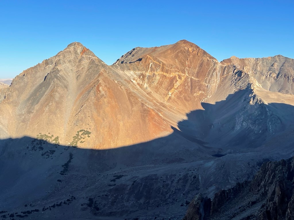
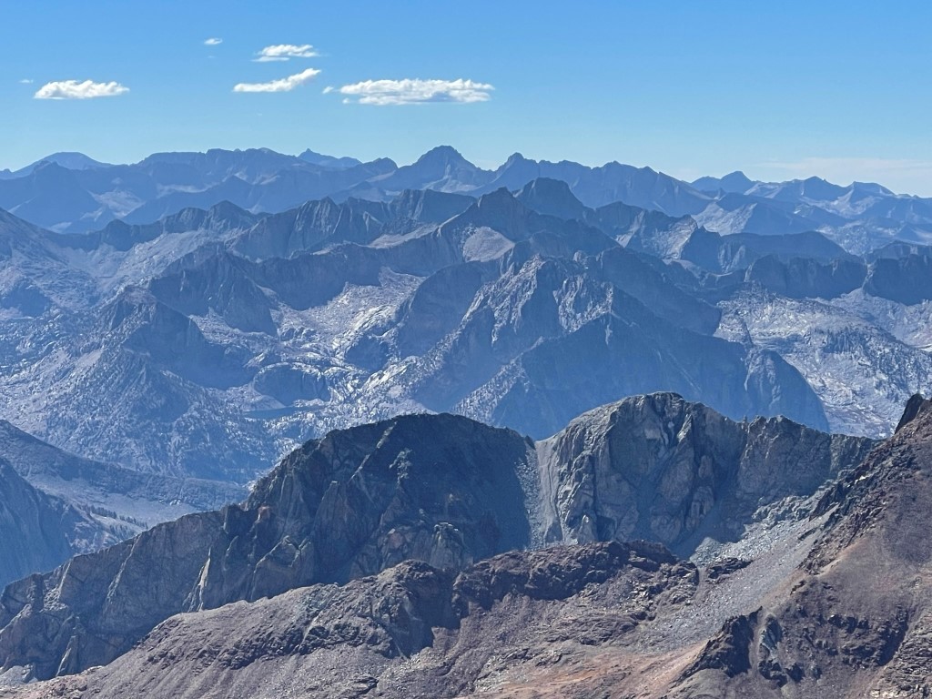
We signed the register which had been placed in 2005. The most recent entry was from September 24. Mount Pinchot has over 2000 feet of prominence, so it has excellent views in every direction. To the north were North Palisade, Mount Sill, Middle Palisade, and Split Mountain.
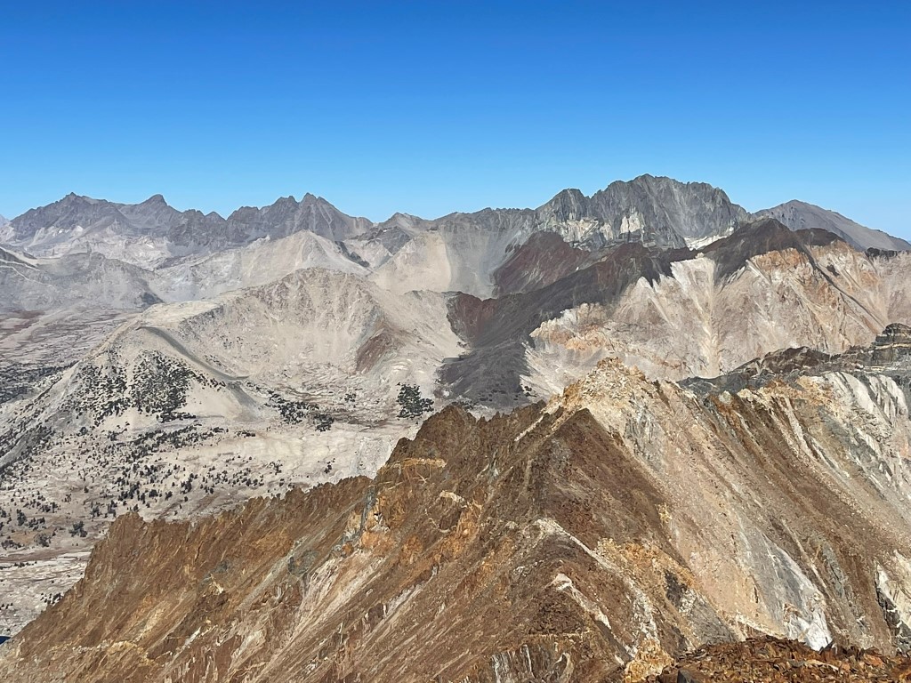
Mount Goddard and Mount Darwin to the northwest:
The Kaweahs and Mount Brewer to the southwest:
Mount Williamson, Mount Whitney, Mount Keith, and Junction Peak to the south:

Lindsey had already climbed Mount Wynne, so she descended the east ridge back to camp while I began the class 3 traverse.
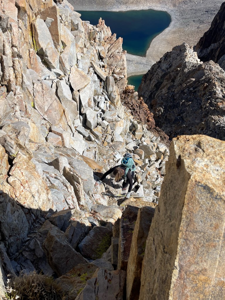
The initial descent along the ridge was easy. After descending a few hundred feet, the ridge narrowed and became very rough.
There was a lot of exposure as I made a number of class 2 and 3 downclimbing moves.

I was mostly able to stay on top of the ridge except for 2 sections. The first involved a quick detour on the west side of the ridge to avoid a large step-down. The second involved some tricky moves on the east side to avoid the roughest part of the ridge. I made one move which I might consider class 4 (or at least highly exposed class 3).
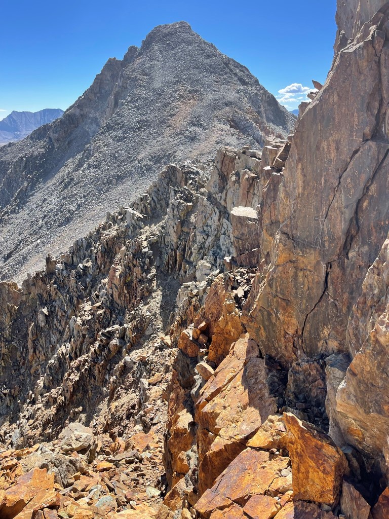
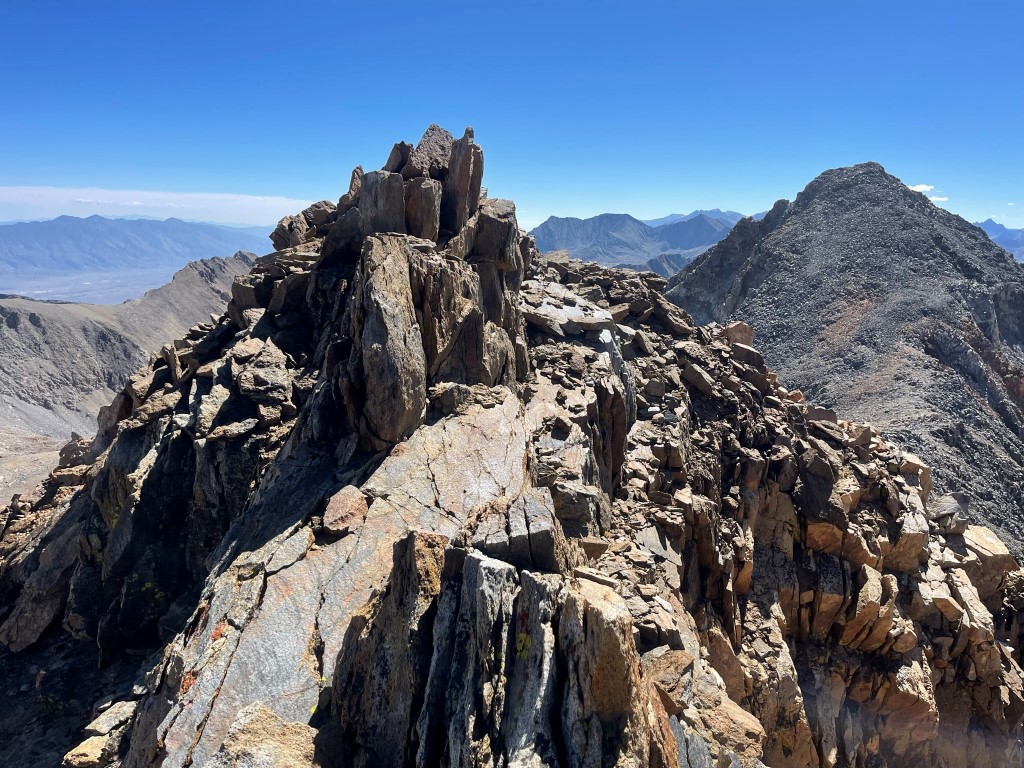
I made it through the rough part of the ridge and then climbed up about 300 feet of straightforward talus to the top.

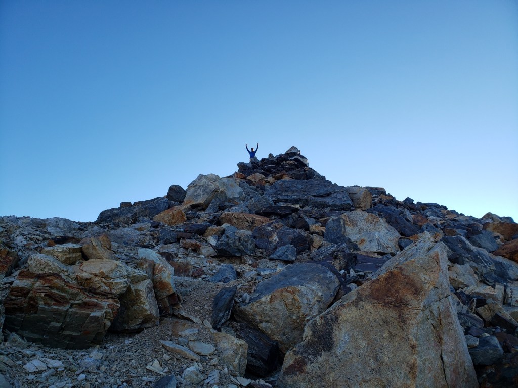
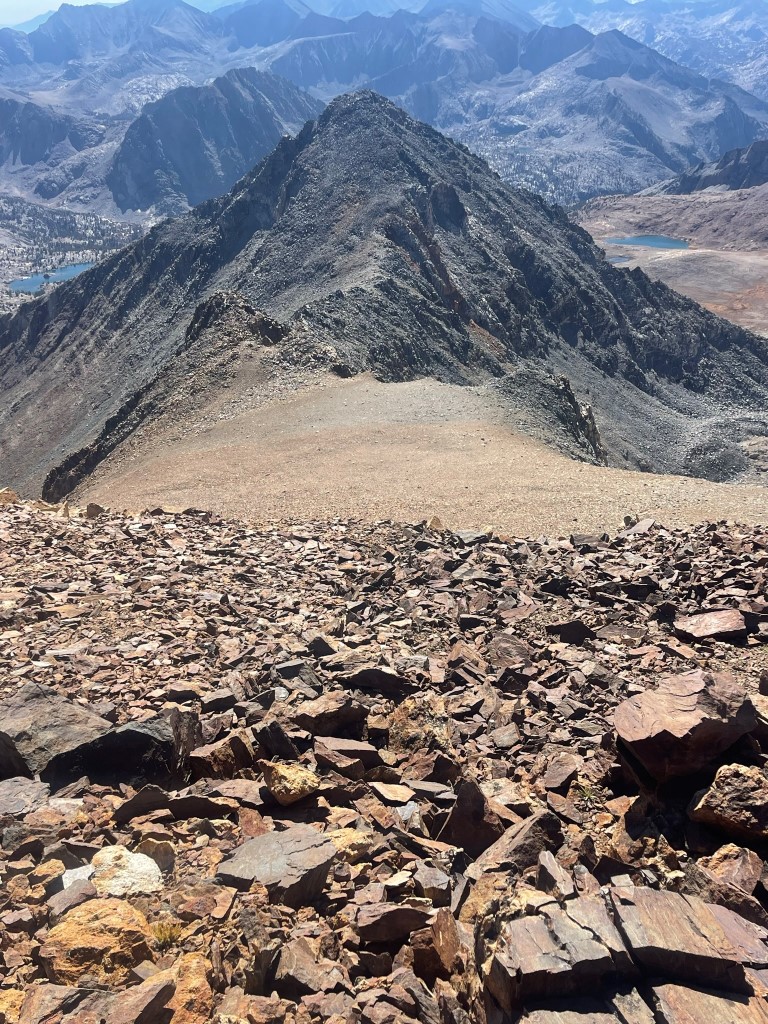
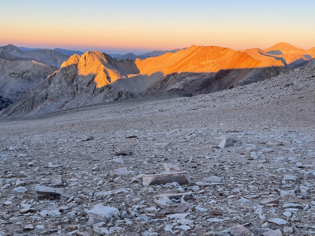
I reached the summit at 1:07pm at 4.5 miles! The traverse had definitely been the most fun part of the weekend. I signed the register which was placed in 2005 and most recently signed on September 29. Mount Pinchot to the north:

Mount Perkins to the southeast:

After a short break, I scrambled down a chute on the southeast face of Wynne.
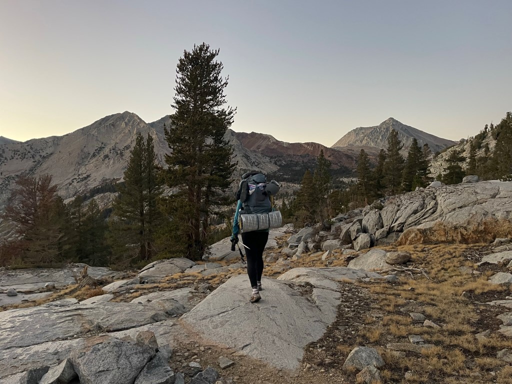
I reached camp at 5.6 miles where Lindsey was packing up her tent. She was continuing north to spend a few more days in the mountains, with plans to climb Pyramid Peak, Observation Peak, and Split Mountain. We said our goodbyes, and I packed up my gear and headed south back towards Sawmill Pass. I got a good picture of Mount Wynne above the small pond we had camped at.
I hiked south and reached the JMT at 5.9 miles.

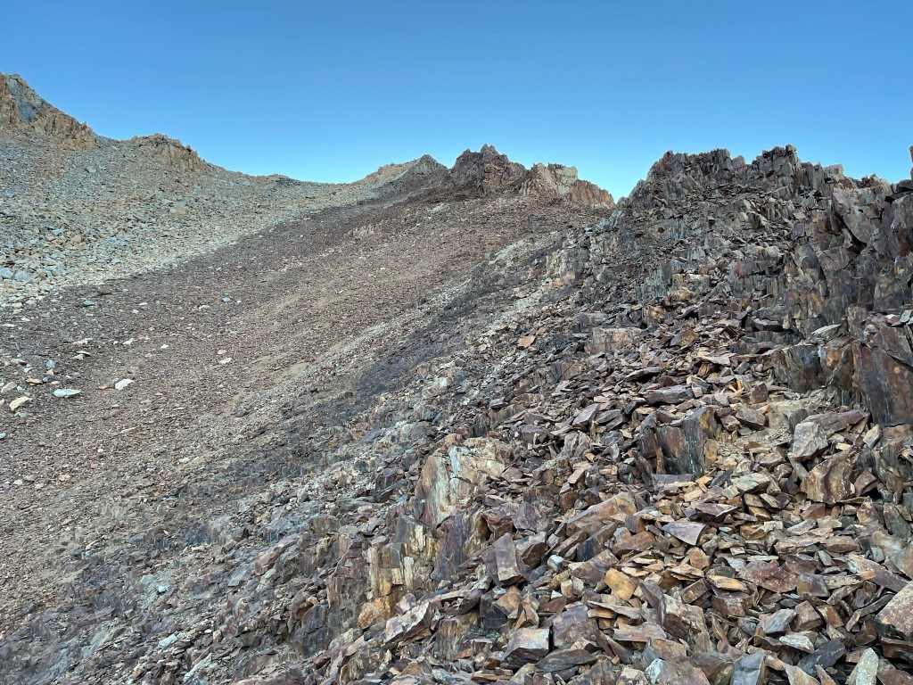
I turned left onto the Sawmill Pass trail at 7.9 miles. I hiked east for a few miles, hoping to camp at 2 small lakes I had seen on the map about a mile south of Colosseum Mountain. Unfortunately, I found both lakes to be dry when I reached them. I had to backtrack slightly and ended up camping at a small lake just north of Woods Lake. I reached camp at 5:18pm. Stats for day 2 were 11.16 miles, 4708 feet elevation gain, and 10:56:07 total time.


Day 3
For day 3 my plan was to climb Colosseum Mountain (12451 ft) and Mount Cedric Wright (12336 ft), and then return to the trailhead. I began hiking at 5:30am from 10799 feet above sea level. I went north as I crossed the trail and then proceeded through a gently sloping area that alternated between rocky benches and small patches of trees. At 11400 feet I climbed up a steep rocky slope which was supposed to be class 1. I was unable to find the class 1 route in the dark but still managed a decent class 2 route.
I reached the top of the steep slope around 11900 feet and then hiked northeast up a very gentle slope the rest of the way to the top.
I reached the summit at 6:55am at 1.6 miles!

I did not locate a register. I had an excellent view of Mount Wynne, Mount Pinchot, and Split Mountain to the north:
The pointy summit of Mount Clarence King was very noticeable to the southwest:

Mount Baxter and Acrodectes Peak to the south:

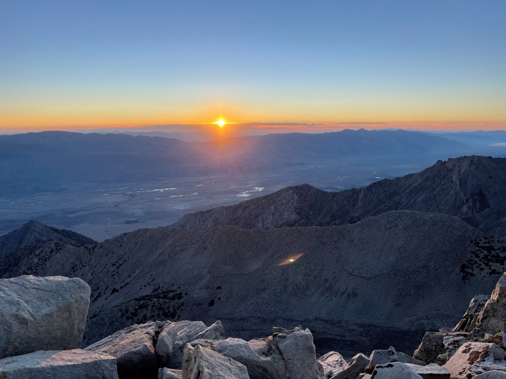
I caught the sunrise over the Inyo Mountain to the east:
I then descended down the gentle slope to the southwest.
I descended into the basin between Colosseum and Cedric Wright.
I climbed up a chute on the southeast side of Cedric Wright.
I reached the summit at 8:35am at 3.3 miles! I signed the register which had been placed in 2010. It was most recently signed 2 days prior. I had a good view of Colosseum to the east:

I took a short break and then descended the chute.

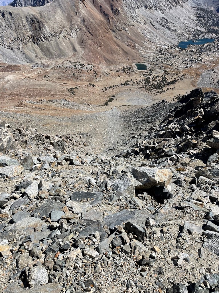
I made it down into the basin between the 2 peaks and then hiked south. I reached camp at 4.8 miles and was pleased that the 2 peaks had only taken about 4 hours. I packed up and then got back onto the trail. I hiked southeast towards Sawmill Pass.

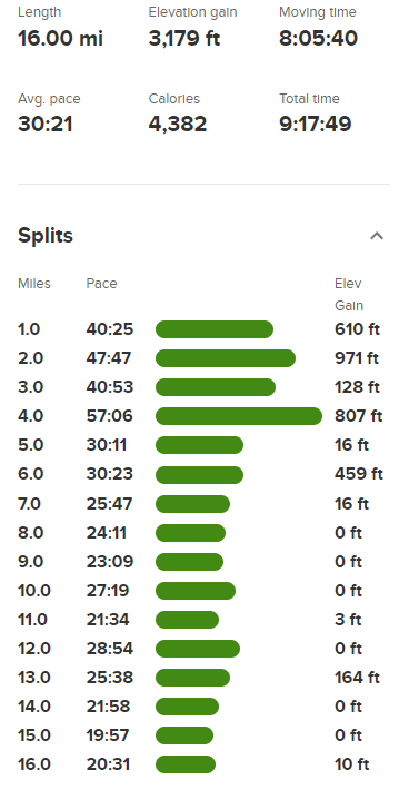
I reached Sawmill Pass at 6.1 miles. I was very happy that the rest of the hike would be downhill. I made very good time on the descent from there, only stopping once to refill my water.
I reached the car at 2:48pm. Stats for day 3 were 16 miles, 3179 feet elevation gain, and 9:17:49 total time.