Day 1
For the 4th of July weekend, I planned a 4 day backpacking trip through the Yosemite high country to climb a few peaks in the area. My primary objective was Mount Lyell, but I also hoped to include Mount Maclure, Parsons Peak, Mount Florence, and Vogelsang Peak. I left San Diego Friday morning around 5am and made the 7 hour drive to Tuolumne Meadows in Yosemite National Park. I stopped at the Tuolumne Meadows Wilderness Center to pick up my wilderness permit and then drove a bit further to the Lyell Canyon Trailhead and parked. I began hiking at 12:25pm from 8725 feet above sea level.

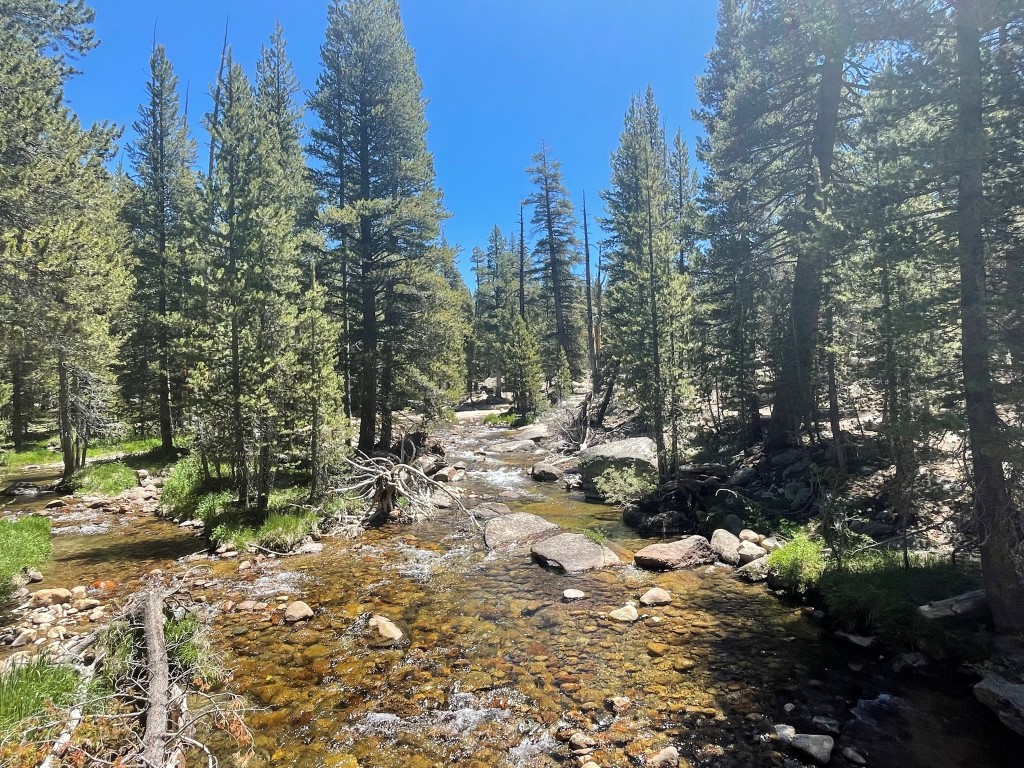
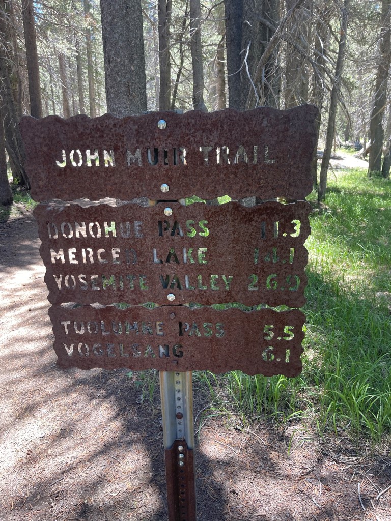
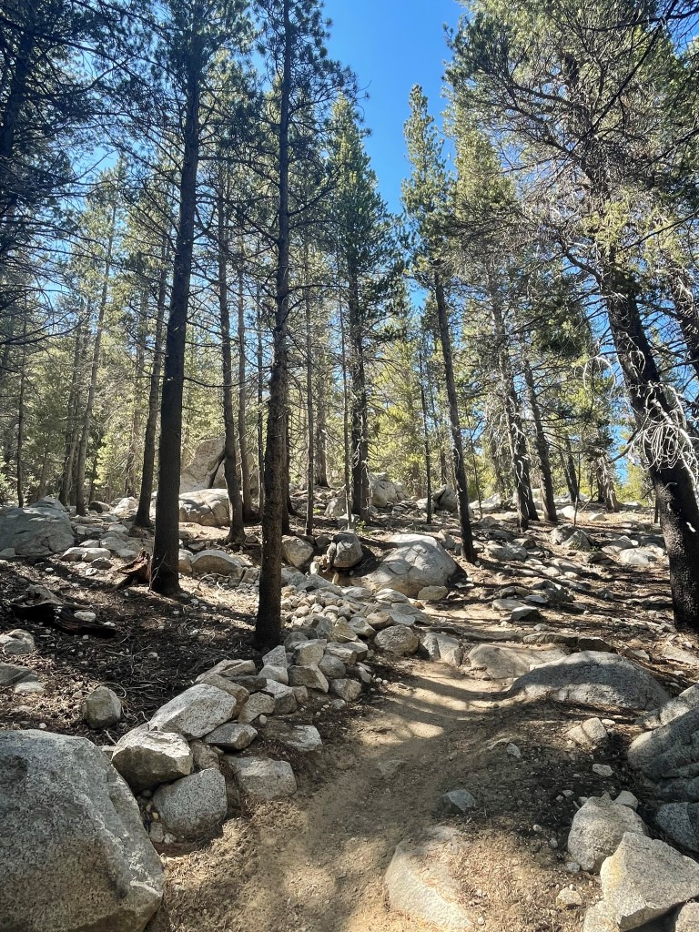
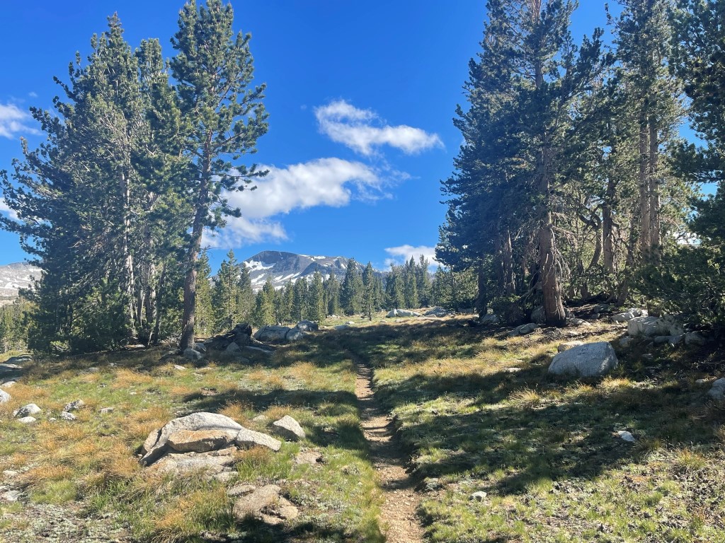
The plan for day 1 was to hike about 12 miles to the base of Mount Lyell and set up camp. I would be on the John Muir Trail (JMT) for most of the day as it goes south through Lyell Canyon towards Donohue Pass. The trail follows the Lyell Fork of the Tuolumne River as it heads up the canyon.
I bumped into a ranger about a half mile into the hike who checked my wilderness permit. I told him of my plans to climb Mount Lyell the following day. He said he had been in that area recently and that there was still a lot of snow above 11000 feet. I crossed a twin bridge over the river.

The weather was absolutely beautiful – not too hot or too cold. There were a few trail junctions at the beginning of the hike. I stayed on the JMT towards Donohue Pass at each one.
At 1.4 miles I encountered 2 more rangers who checked my permit again.
Unsurprisingly, the trail was pretty crowded. It was very beautiful in Lyell Canyon.

The trail stayed pretty close to the river.
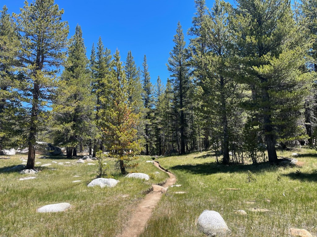
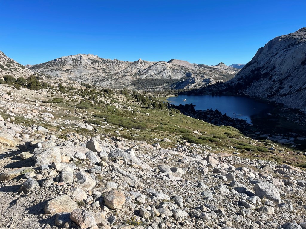
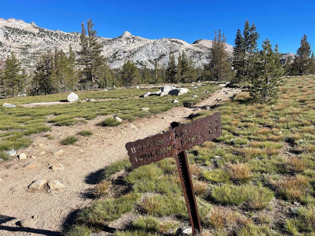
At 6.1 miles I reached the junction for Ireland Lake. I continued straight, but I would be back the next day to head towards Ireland Lake.

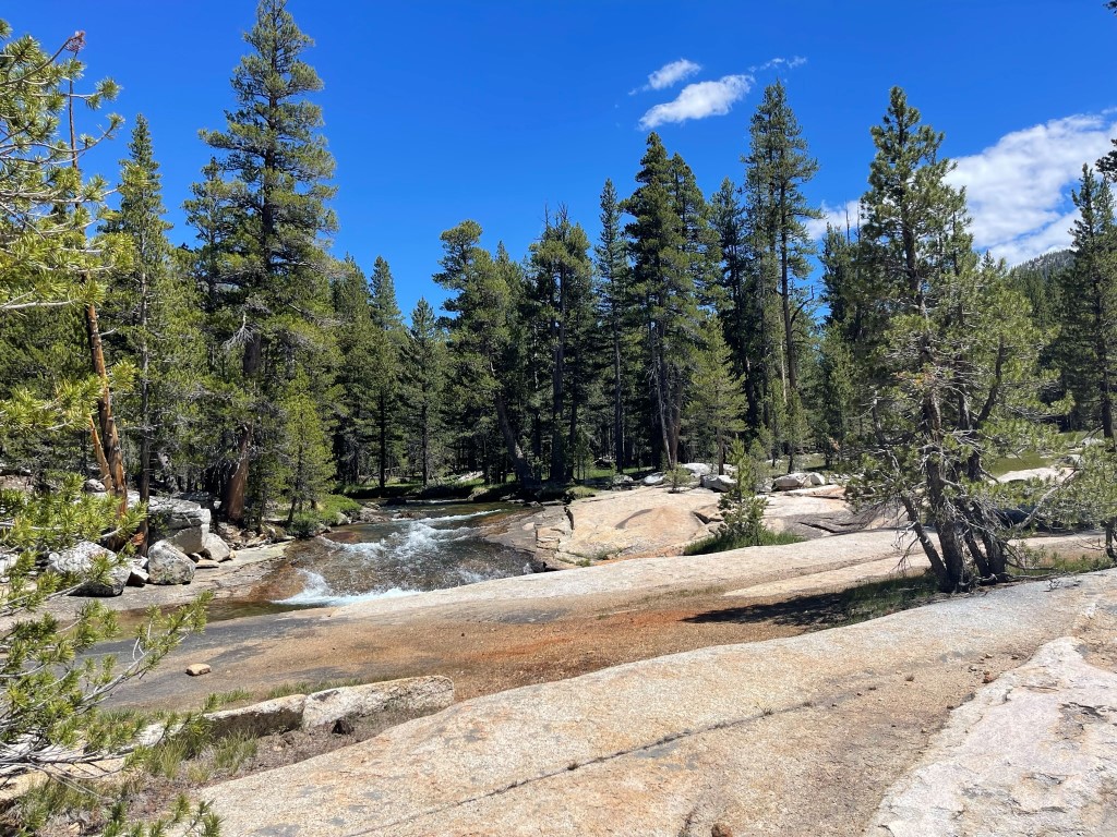
The trail crossed to the other side of the river a mile or so later.

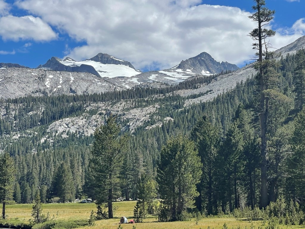
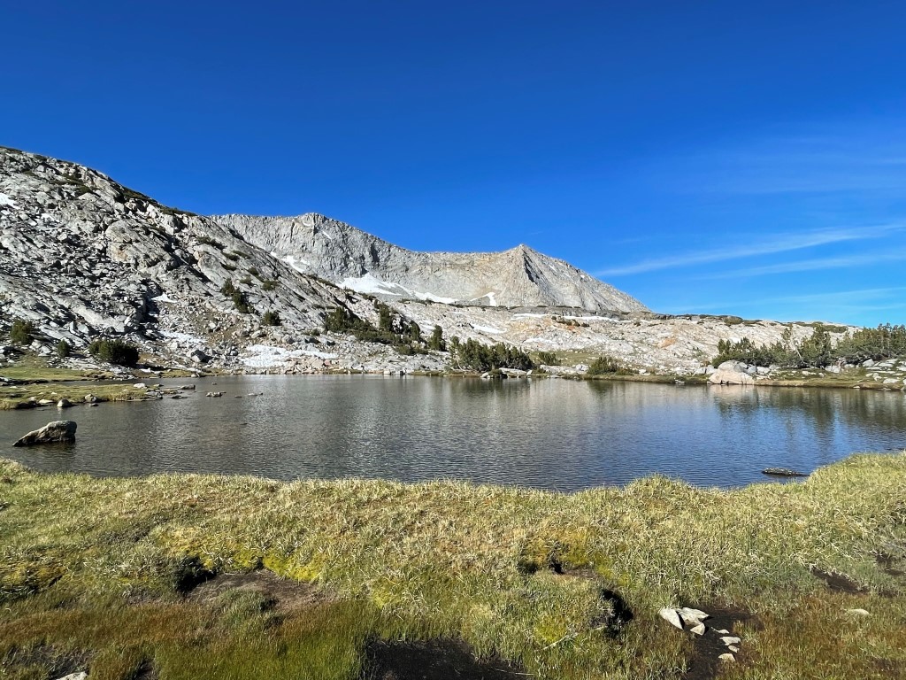
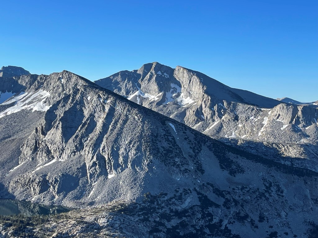
I got my first good look at Mount Lyell (left) and Mount Maclure (right) still 4000 feet above me. The Lyell Glacier was quite prominent on the north face of Mount Lyell.
The trail finally started to gain some elevation around 9 miles. It had been mostly flat up to this point.
There were more river crossings.
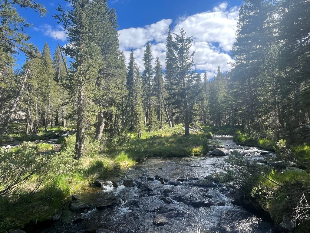
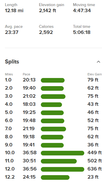
I crossed the river again near a large pool. The mosquitos started to get annoying here.
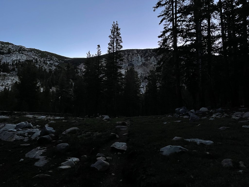
At 12 miles the trail made a sharp turn to the east to head towards Donohue Pass. This is as far as the trail would take me, so I hiked south for a short way and set up camp at the base of Mount Lyell at 10491 feet.

Stats for day 1 were 12.18 miles, 2142 feet elevation gain, and 5:06:18 total time.

Day 2
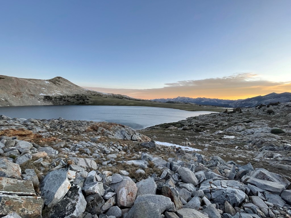
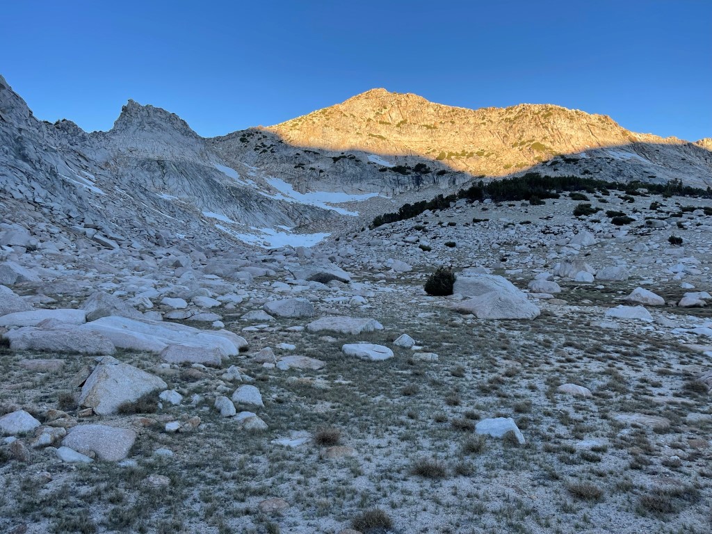
At 13114 feet, Mount Lyell is the highest peak in Yosemite National Park and Tuolumne County. It is also one of the 15 emblem peaks on the Sierra Club Sierra Peaks Section List. It is one of the northern-most 13ers in the Sierra, and there is no peak higher than it to the north in California except for Mount Shasta. Mount Maclure (12880 feet) is less than a mile northwest of Lyell and is connected by a rugged ridge. I was camped about 2 miles northeast of the peaks, so I was in perfect position for an early morning climb while the snow was still firm. I started hiking at 5:02am from 10491 feet above sea level.

It was already beginning to get light out to the east behind me.
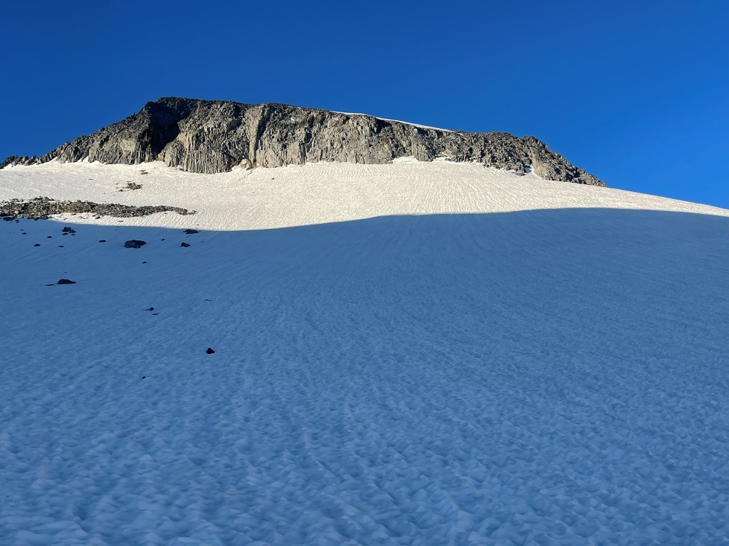
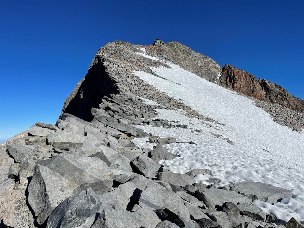
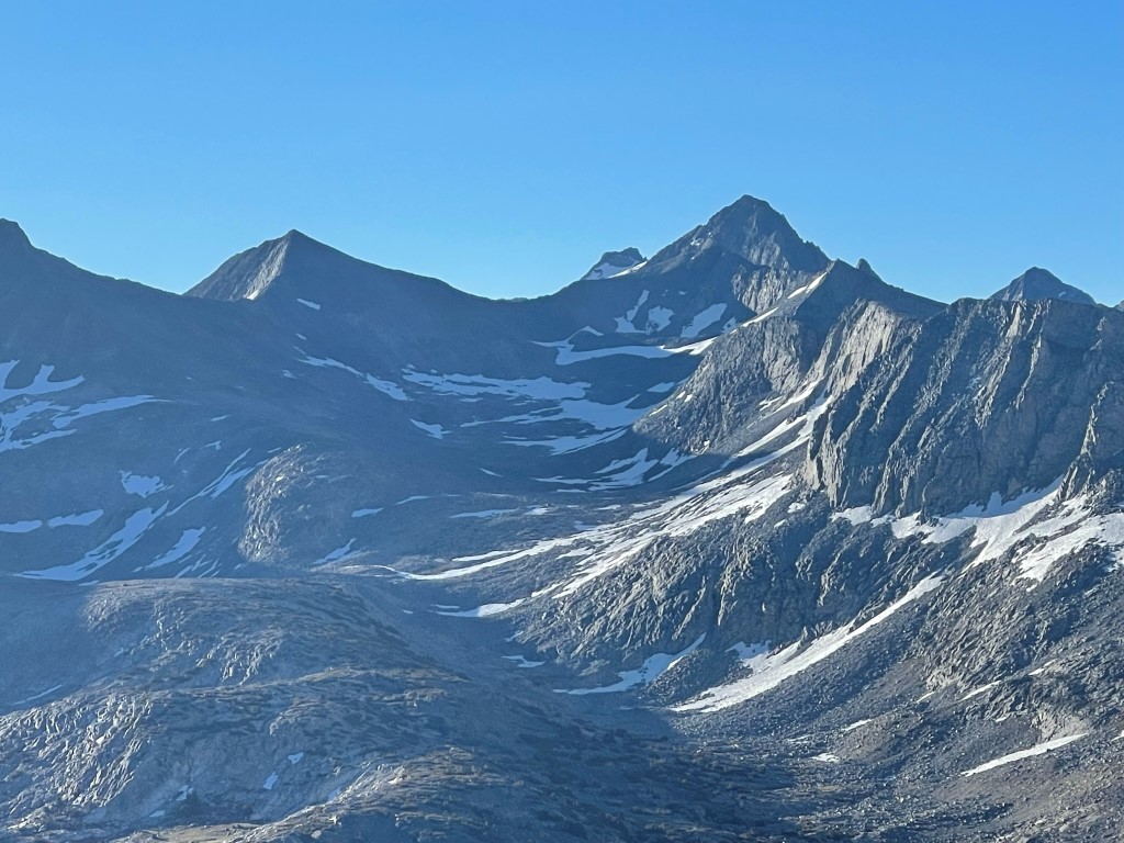
I could see the 2 peaks above me as I climbed to the southwest. Lyell is on the left and Maclure is on the right.

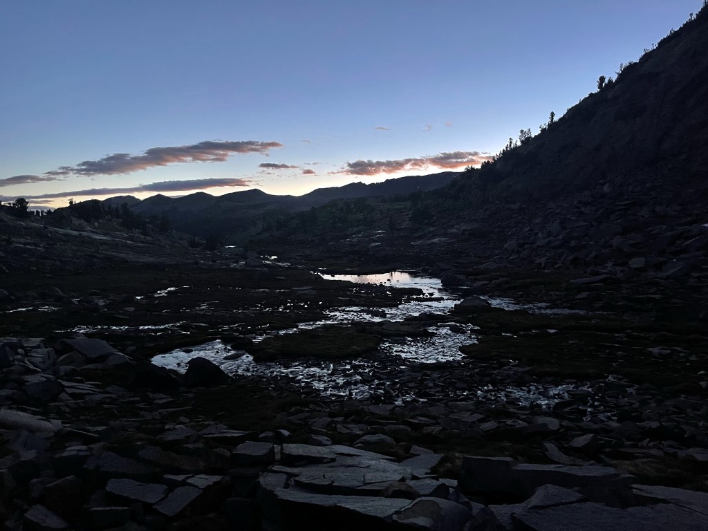
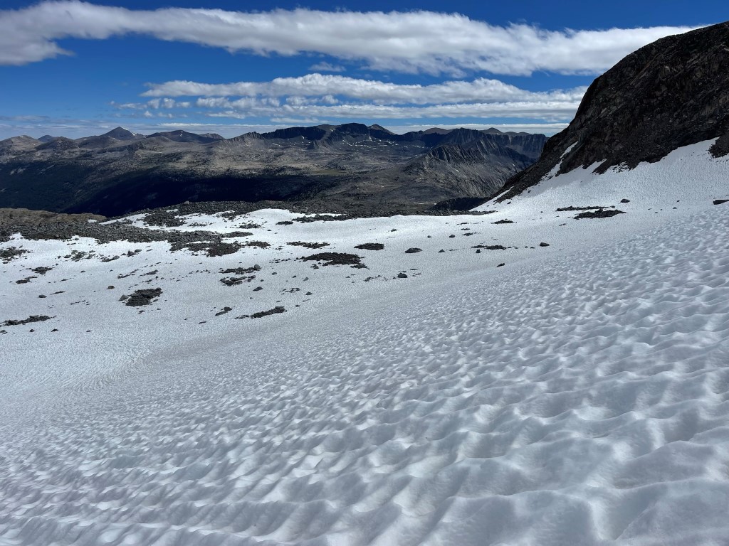
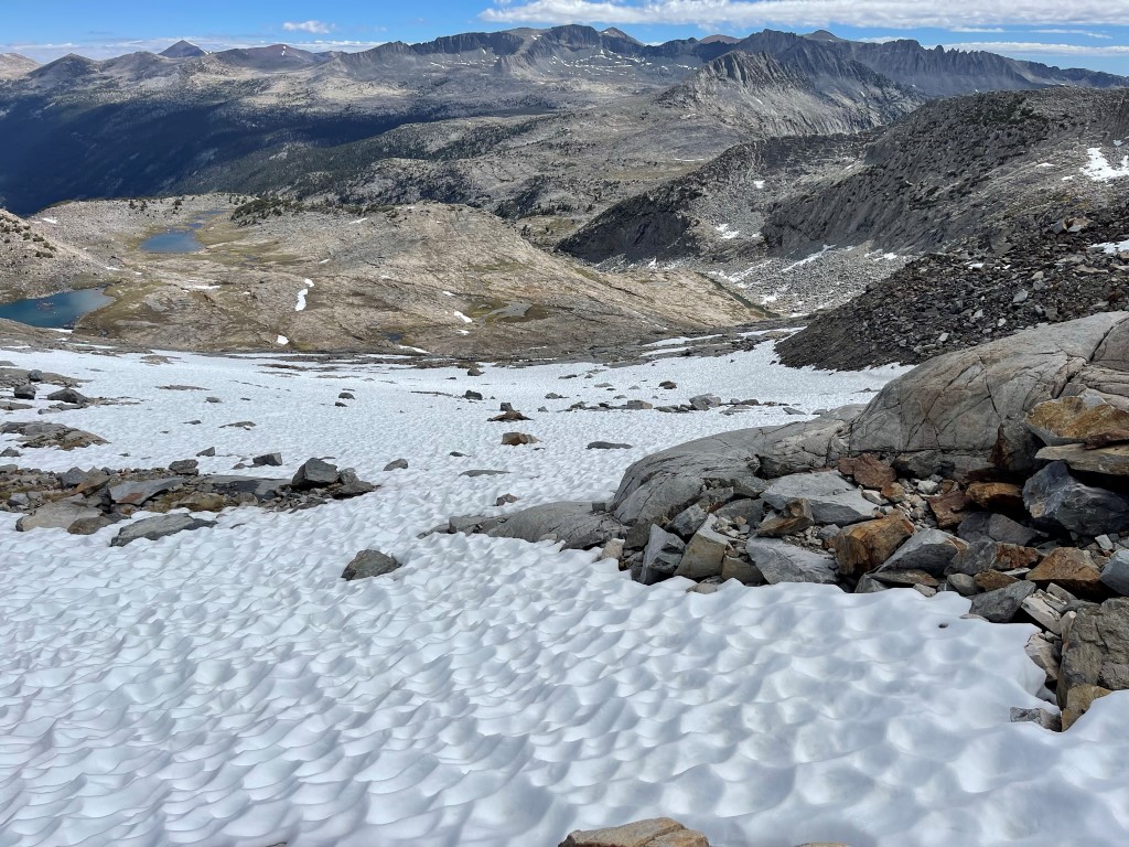
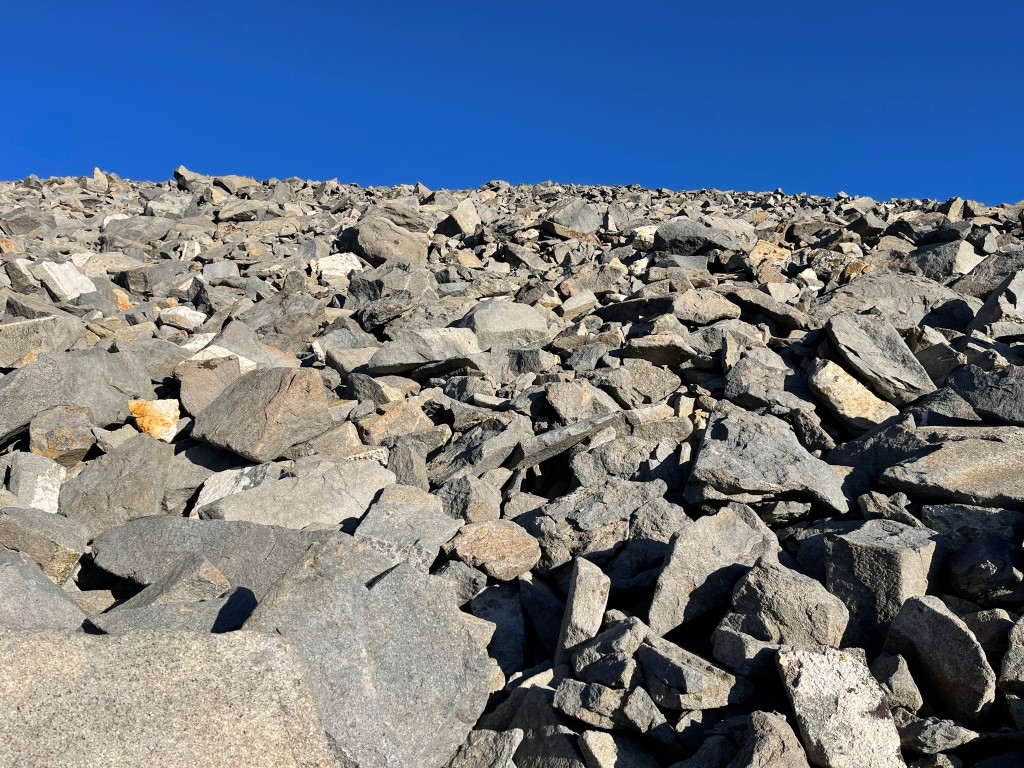
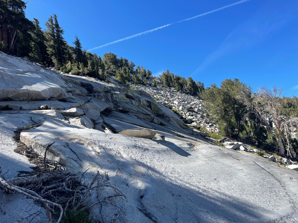
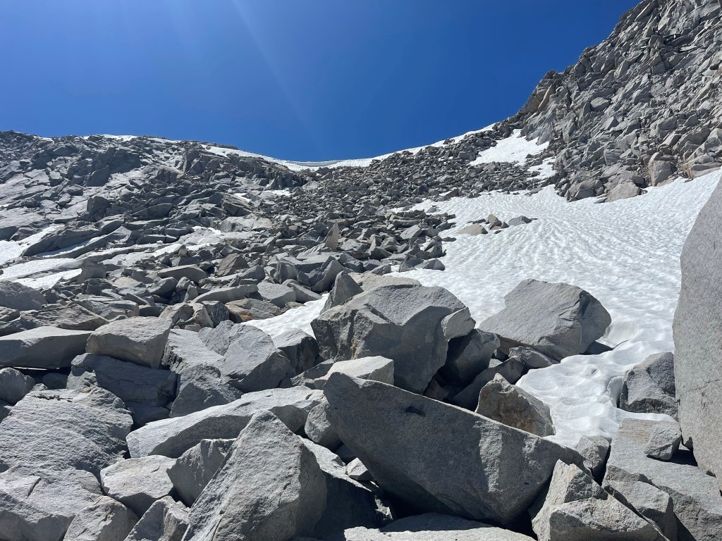
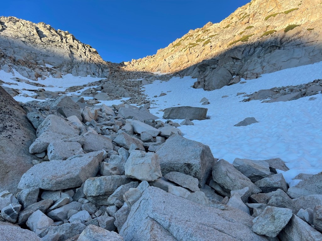
I ascended rocky slabs with intermittent snow fields. The melting snow in this area is the headwaters of the Tuolumne River.

The sun rose above the hills behind me just before 6am.
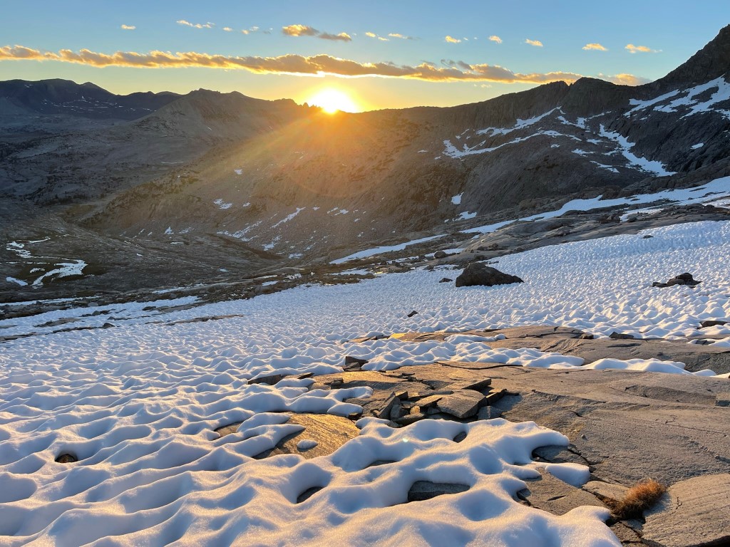
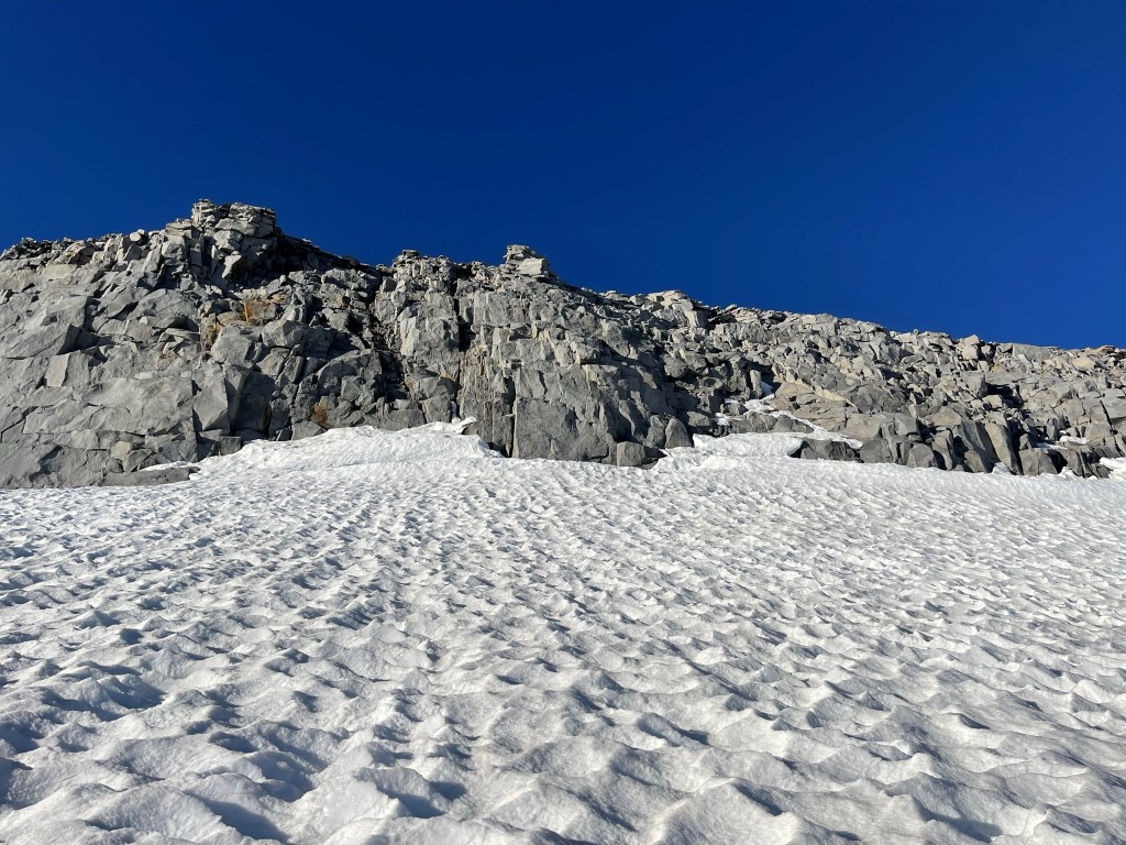
The snow coverage was more constant as I climbed higher. The snow was heavily suncupped.

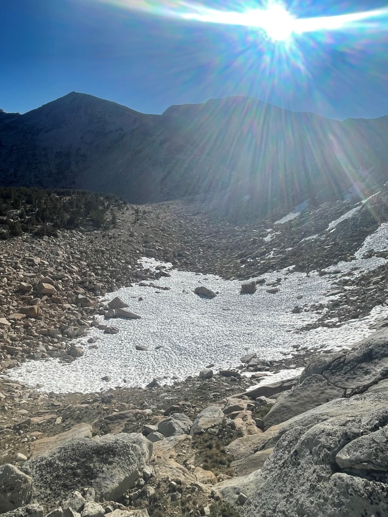
At 1.5 miles I reached the base of the Lyell Glacier at 12000 feet. This is the 2nd largest glacier in the Sierra after the Palisades Glacier. However, it has retreated considerably over the recent decades due to climate change. It apparently has lost any movement and therefore should no longer be called a glacier.
I made my way up the glacier directly towards the summit. One could also climb to the Lyell-Maclure Col and ascend the ridge from there. I planned to descend that route after climbing Maclure.
I did not need crampons due to the suncupping, even as the glacier steepened near the summit.
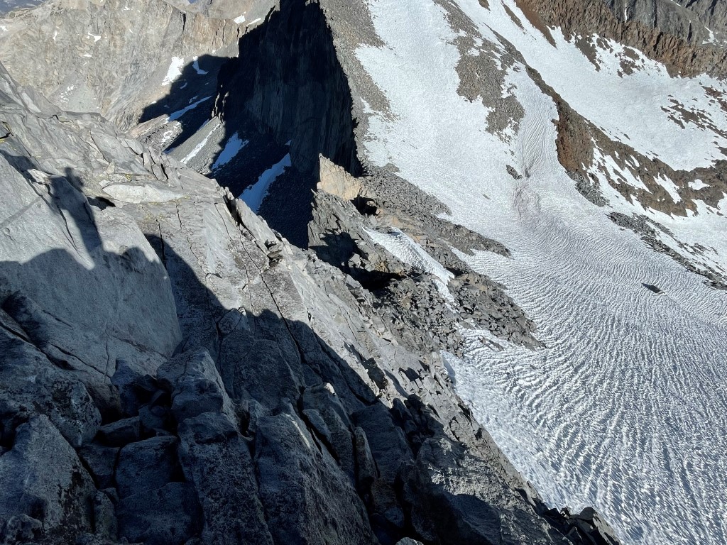
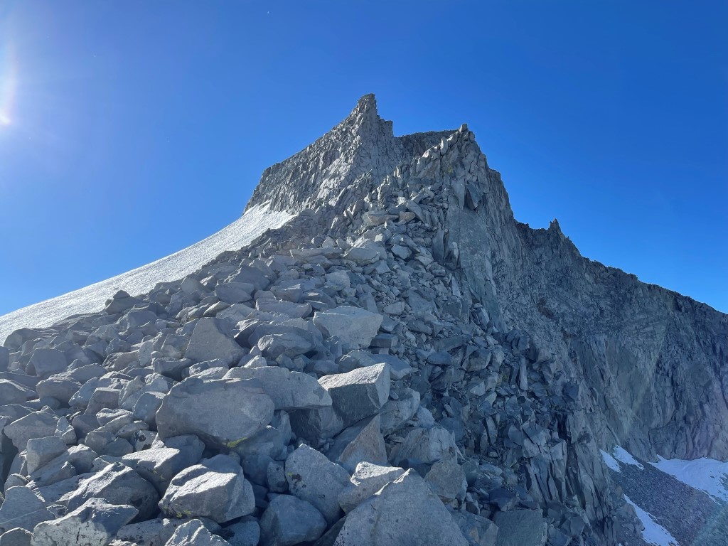
At 1.9 miles I reached the top of the glacier at 12800 feet. Getting from the ice onto the rock required a tricky class 3 move.
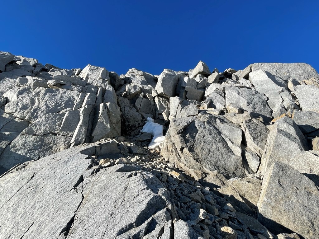
A few more class 3 moves got me onto the ridge just northwest of the summit.

It was a fairly simple climb from there. I reached the summit at 7:09am at 2.1 miles!
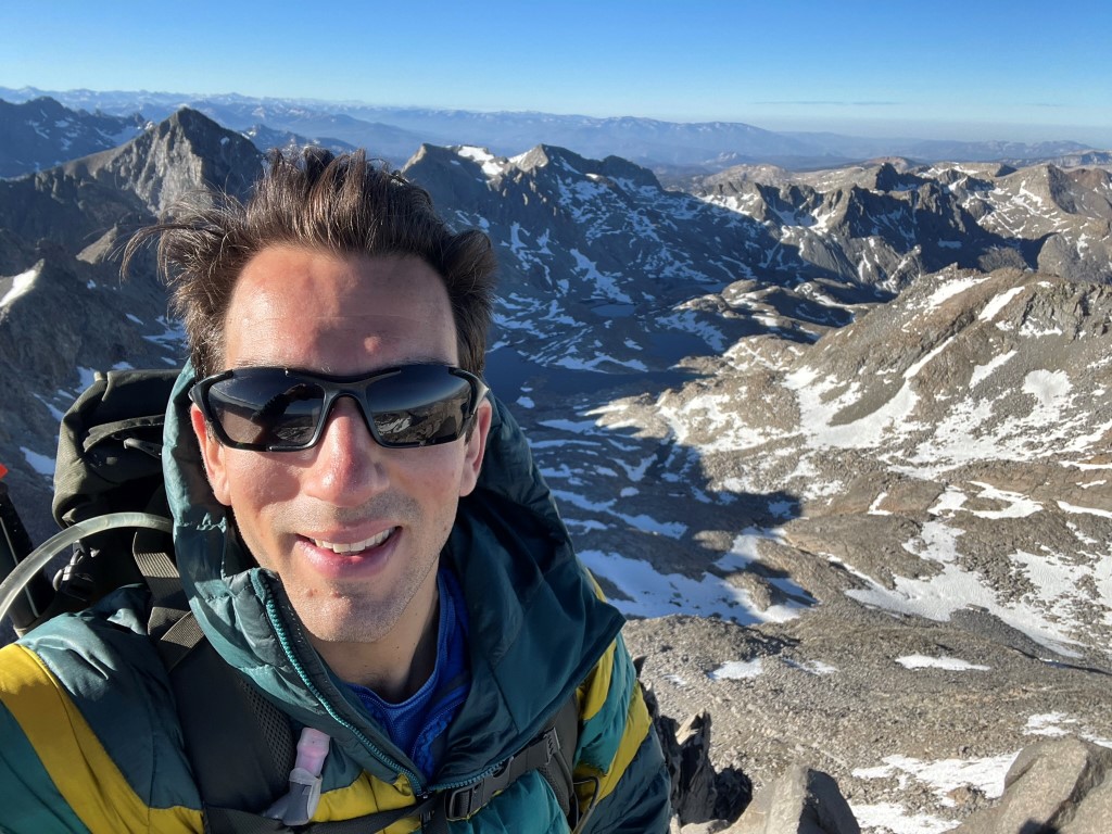
There were multiple register books, but unfortunately all were completely full. I did manage to sign my name in a blank spot on one of the pages. It was a clear morning, so the views were outstanding. Mount Banner and Mount Ritter stood out to the southeast:
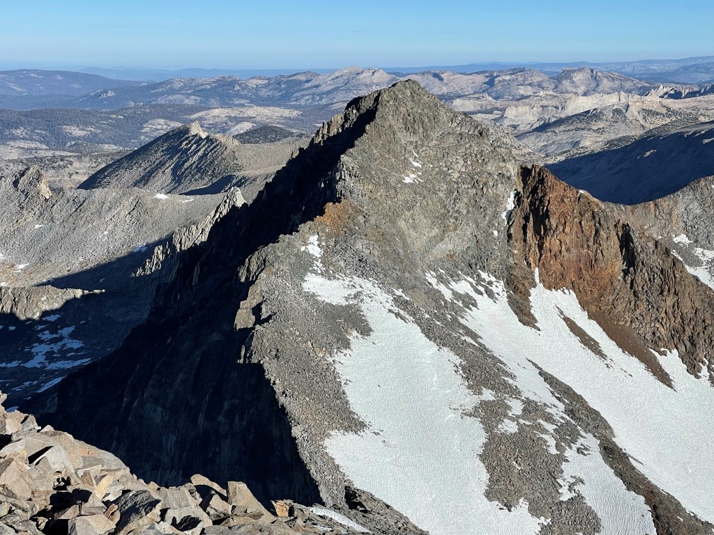
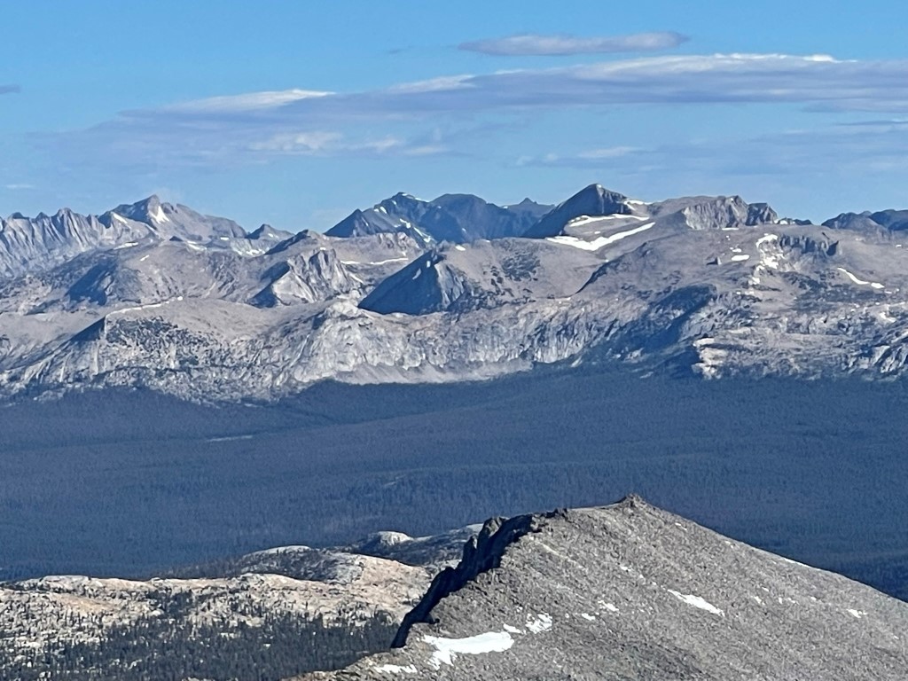
Red Peak, Gray Peak, and Mount Clark to the southwest:
Mount Maclure to the northwest:
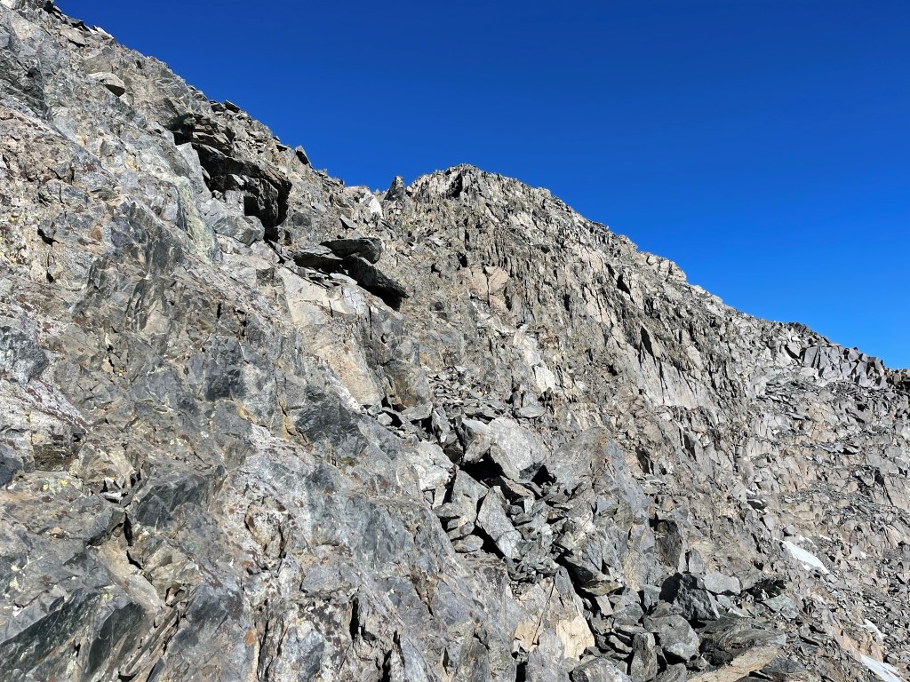
I began descending to the Lyell-Maclure Col after a 20 minute break. The ridge initially was easy, but it got pretty rugged as I neared the col. I mostly stayed on the north side of the ridge, and I encountered a couple of class 4 moves. I’m not sure if these were avoidable or not, but most others report class 4 climbing on this route as well.
I reached the col at 2.5 miles at 12474 feet. I decided to use my trekking poles at this point (I was sick of carrying around so much gear that I wasn’t using eg crampons, ice axe, poles).
The climb to Maclure was much tamer than the descent from Lyell.
I set my poles down as the terrain became rougher near the summit. I traversed around the north side of a false summit.
I reached the summit at 2.8 miles at 8:30am! I signed the register which dated to 2007. The most recent entry was from June 22. There were actually 2 registers, but neither was very full. I had a great view of Mount Lyell and the Lyell Glacier to the southeast:
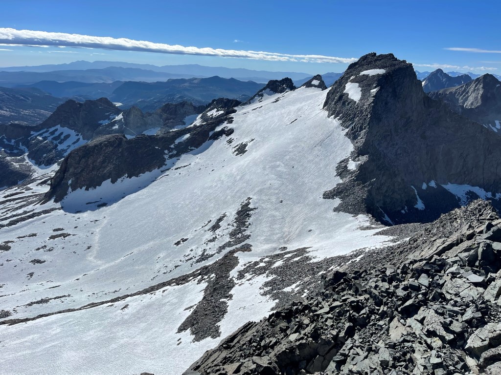
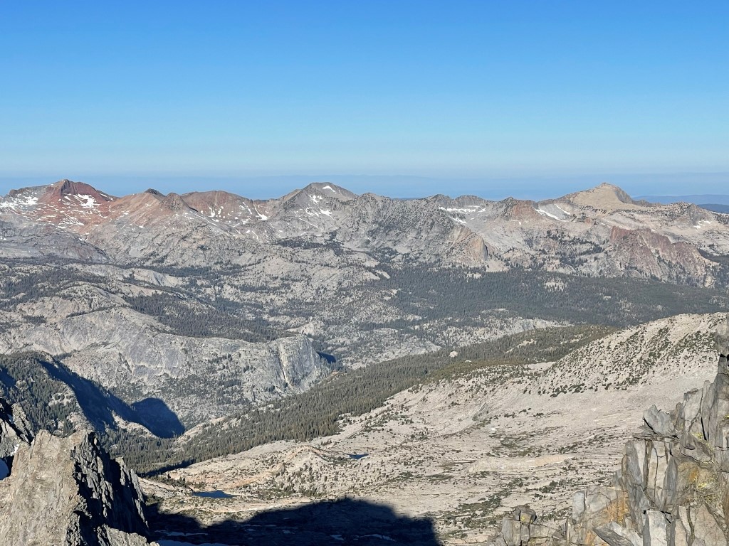
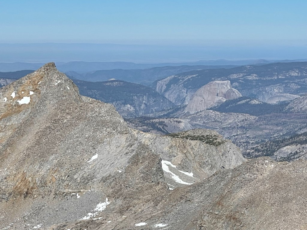
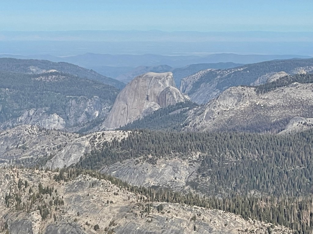
To the west I could see Mount Florence (far left) and Half Dome (right center). I planned to climb Florence the next day.
Matterhorn Peak, Twin Peaks, and Mount Conness to the north:
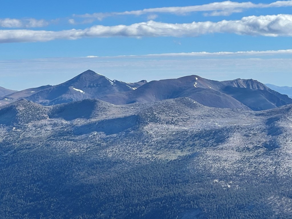
Mount Dana and Mount Gibbs to the northeast:
I began descending to the col after a 20 minute break. Unfortunately, I was unable to find the spot I left my trekking poles. I searched for a while but couldn’t locate them anywhere. I cursed myself since I normally place a GPS waypoint when I leave anything behind, but I had neglected to do so this time. They were fairly new and quite expensive, so this killed my mood for a short period of time. To make matters worse, the mouthpiece to my hydration reservoir had somehow fell off without me realizing. This made my reservoir completely useless since there was no way to prevent water from leaking out of it. Thankfully, I had a 1 liter bottle back at camp, and there was so much water everywhere that I wouldn’t need more than 1 liter capacity the rest of the weekend. Once I reached the col, I descended the glacier to the northeast.
Once I was below the glacier, I descended alternating snow fields and rock slabs back to camp. The snow had softened up considerably since my ascent, so I found myself post-holing to my knees here and there.
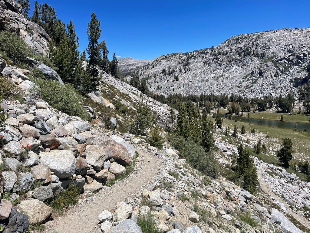
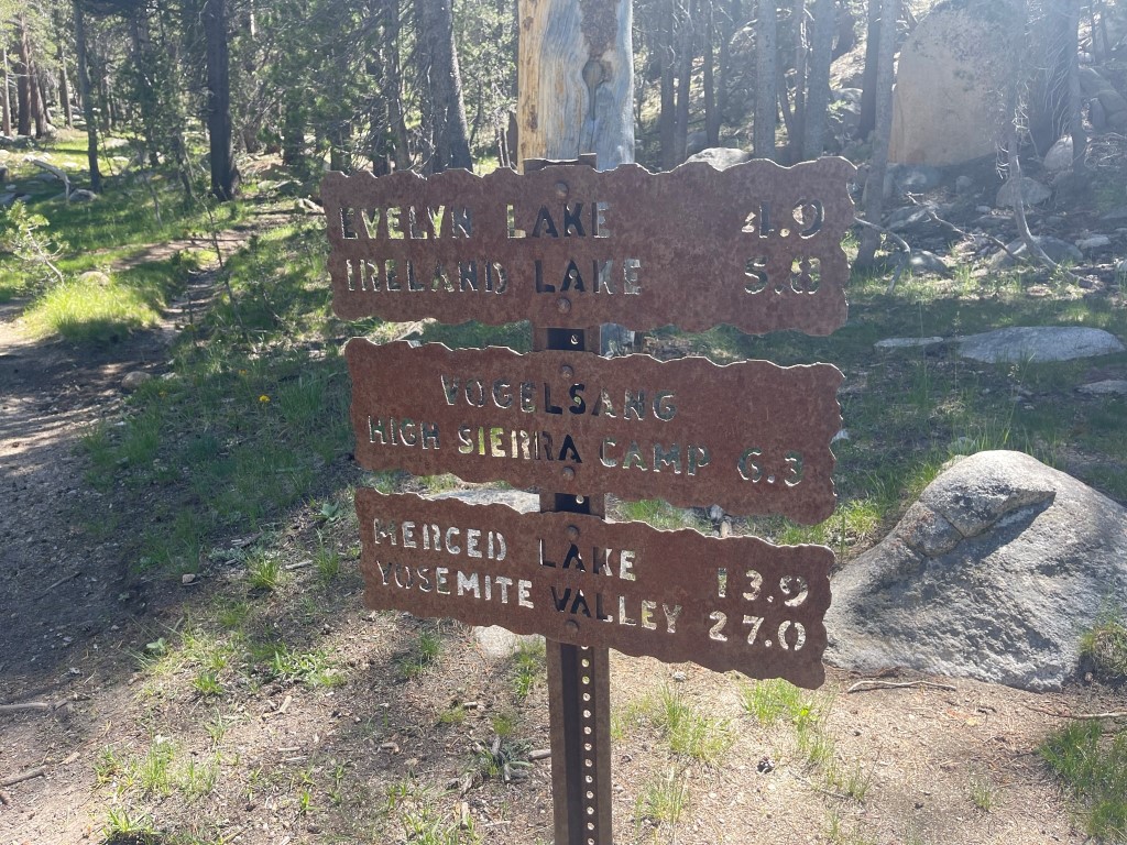
I reached camp at 11:10am at 5.3 miles. While I was packing up, I realized I had lost the protective cover for the pick on my ice axe. I had no clue how that had fallen off while I was up there. Somehow, I had lost 3 separate pieces of gear in the last hour or so. My plan for the remainder of the day was to get on the JMT again and hike north for about 6 miles back up Lyell Canyon. From there, it would be about 4 miles to Ireland Lake where I planned to spend the night.
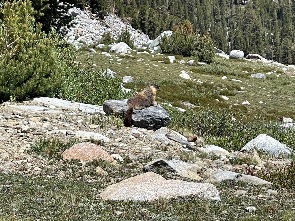
I spotted a large marmot.
I retraced my steps from the previous day until I reached the turnoff for Ireland Lake at 11.5 miles.
The trail climbed steeply southwest towards the lake.

I reached a junction at 14.3 miles and went left.
I decided to camp just off the trail about a half mile from the lake. I had thought the lake might be crowded (I was way off on this) so I wanted a more private site to spend the night. There was tons of water everywhere from melting snow so there was really no need to go further. Plus, I was getting pretty exhausted, so I was ready to call it a day. This was the coldest and windiest of the 3 nights I spent on this trip. Stats for day 2 were 15.46 miles, 5003 feet elevation gain, and 12:07:43 total time.


Day 3
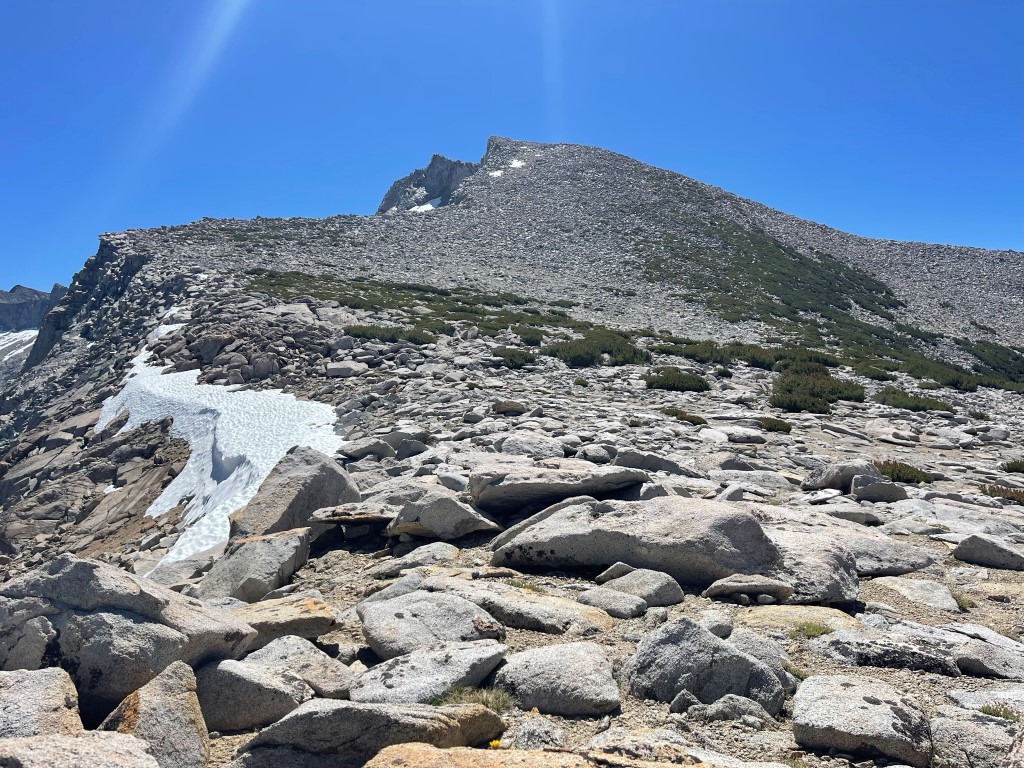
My plan for day 3 was to climb above Ireland Lake to Parsons Peak (12147 feet), descend the other side, go past Bernice Lake, climb Mount Florence (12561 feet), and then return north and camp just below Vogelsang Pass. I began hiking at 5:05am from 10659 feet above sea level.
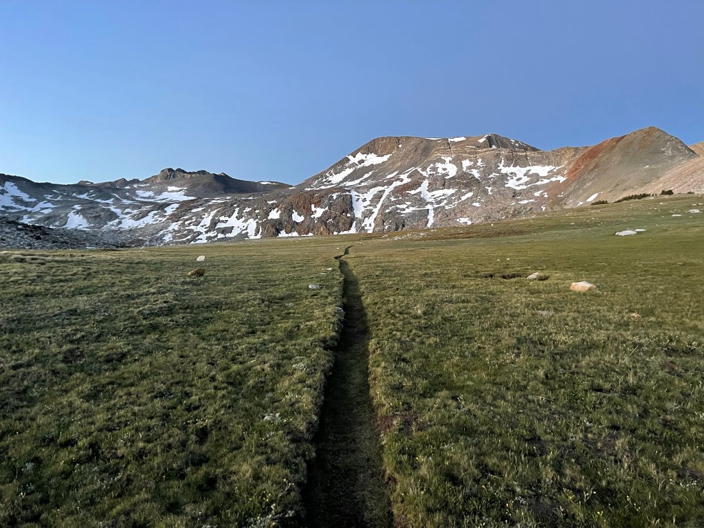
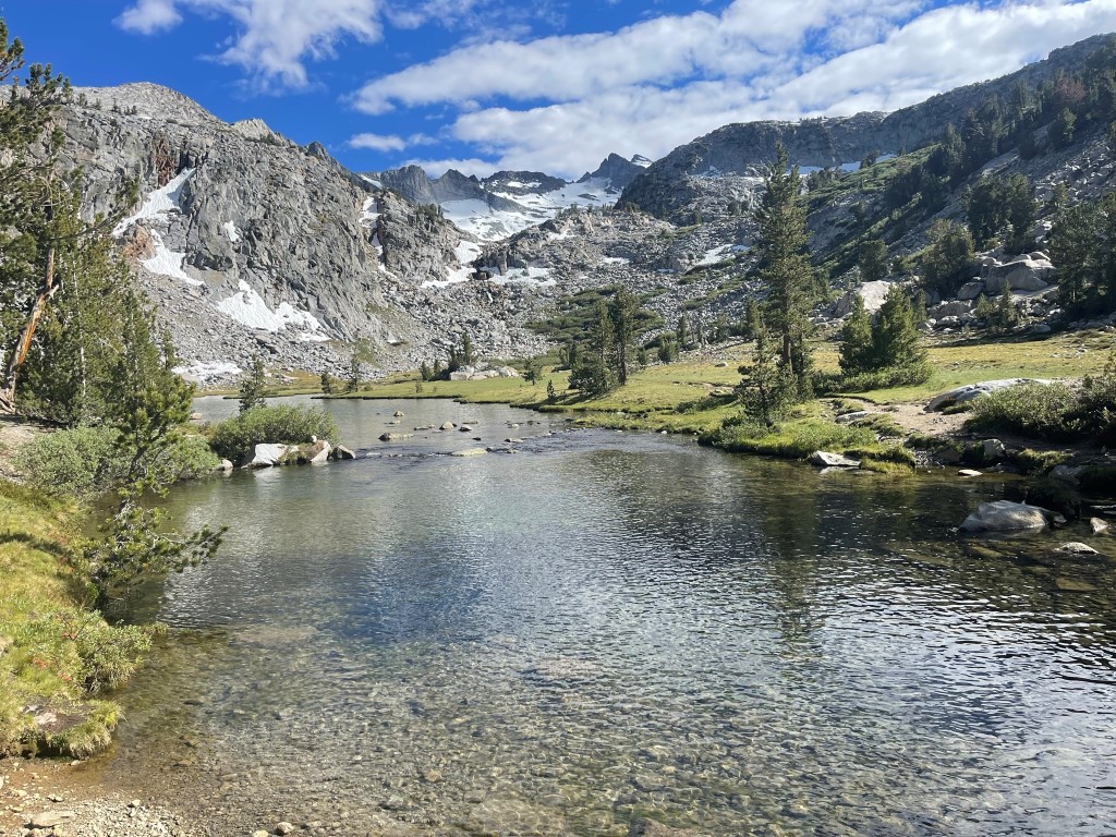
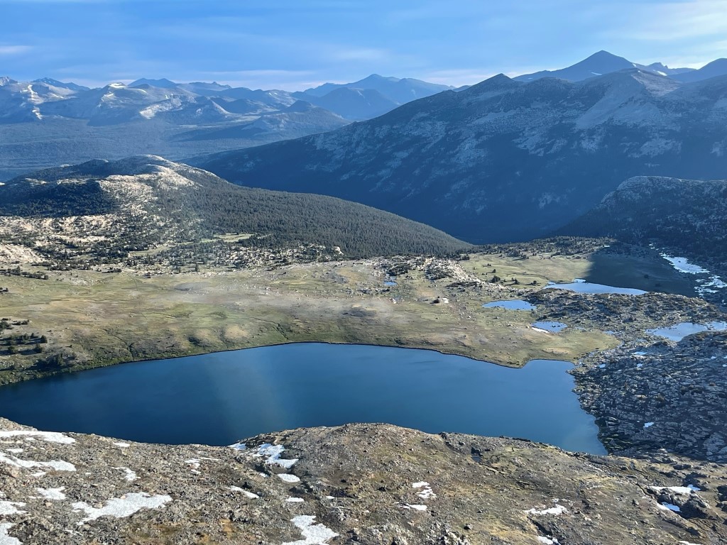
At 0.7 mile I reached Ireland Lake. I didn’t see a single person camped there which surprised me. It was a very scenic area.

I hiked around the east side of the lake and then began ascending to the south.

The eastern sky was beginning to light up.
I reached the saddle east of Parsons at 2.2 miles at 11600 feet. I dropped my gear and then turned west to climb Parsons.
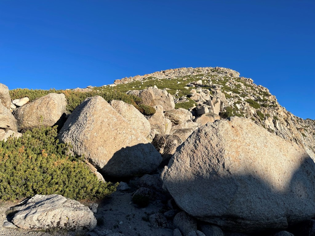
Parsons was a straightforward talus scramble. It was still quite windy, so I had to put layers on.
I reached the summit at 6:46am at 2.5 miles! I signed the register which had been placed in 2020. The most recent entry was from June 29. I had a good view of my next objective, Mount Florence, to the south:

Matterhorn Peak, Twin Peaks, and Mount Conness to the north:

Ireland Lake was directly below me to the north. Mount Dana can be seen far right.
Unlike the other 4 peaks I climbed on this trip, Parsons Peak is not on the SPS list. The real reason I was up here was to tag the highpoint of Mariposa County, which was less than a half mile away along the northwest ridge of Parsons. I reached the county highpoint at 6:58am at 2.8 miles. I did not find a register, but there were 2 separate cairns located close to each other. One was directly on the ridge, and the other was slightly below it on the south side. This was definitely a lame county highpoints, but it still counted for my 18th in California (Lyell was 17th).

I went up and over Parsons and descended back to the saddle.

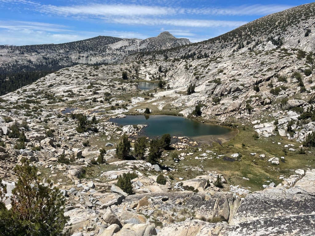
I picked up my gear and then descended steeply into a lake-filled basin southwest of Parsons.
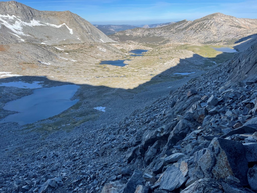
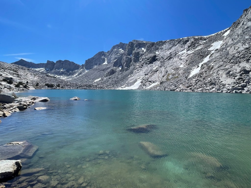
I reached the first lake 3.8 miles at 10900 feet.

I continued west as I gradually descended through the basin.
Each lake was stunning.
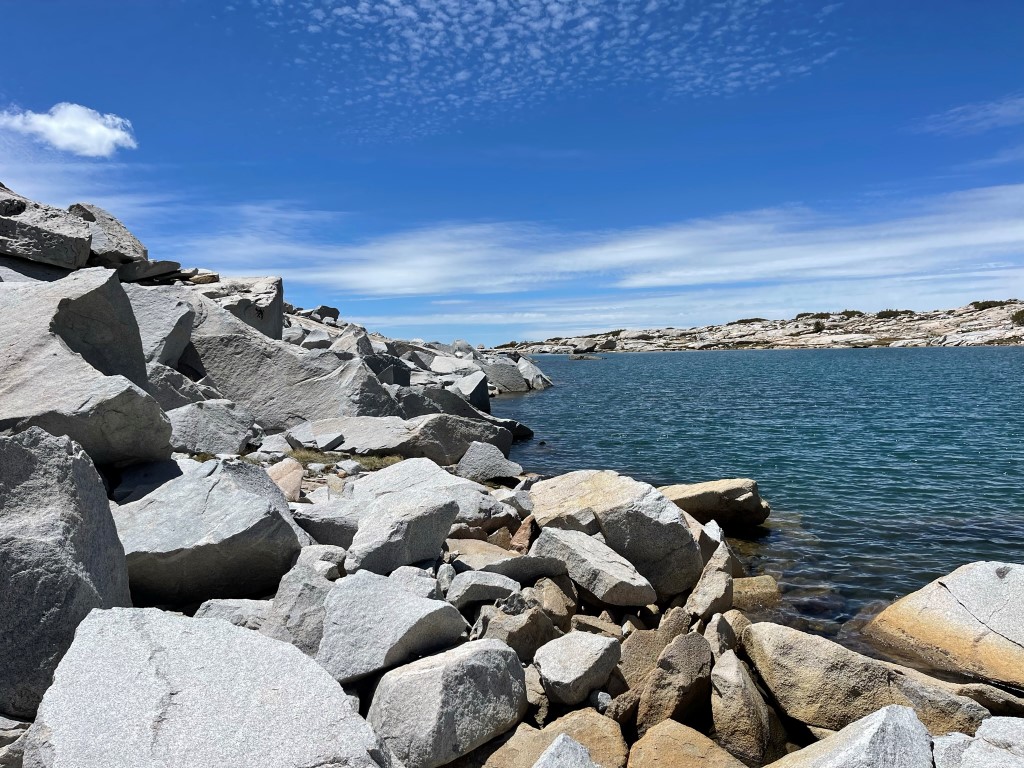
I made another steep descent and then reached Bernice Lake at 5.4 miles. This was the largest of the lakes in this basin. There was a group of backpackers set up on the northern shore.

There is a short connector trail that leads from Bernice Lake down to the Lewis Creek trail. I got on this for a short way but then veered south to head towards Mount Florence. I dropped my gear and then side-hilled around the large ridge that divides the basin I was in from the basin beneath Florence.
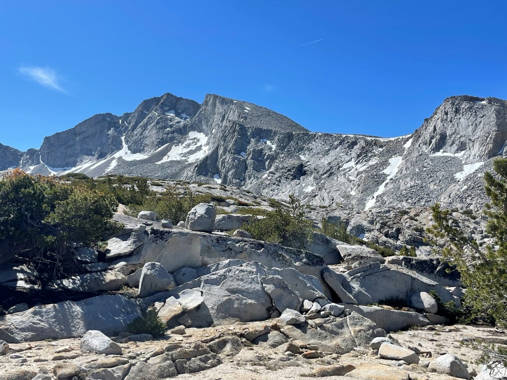
I made it around the ridge and got a good look at Florence above me.
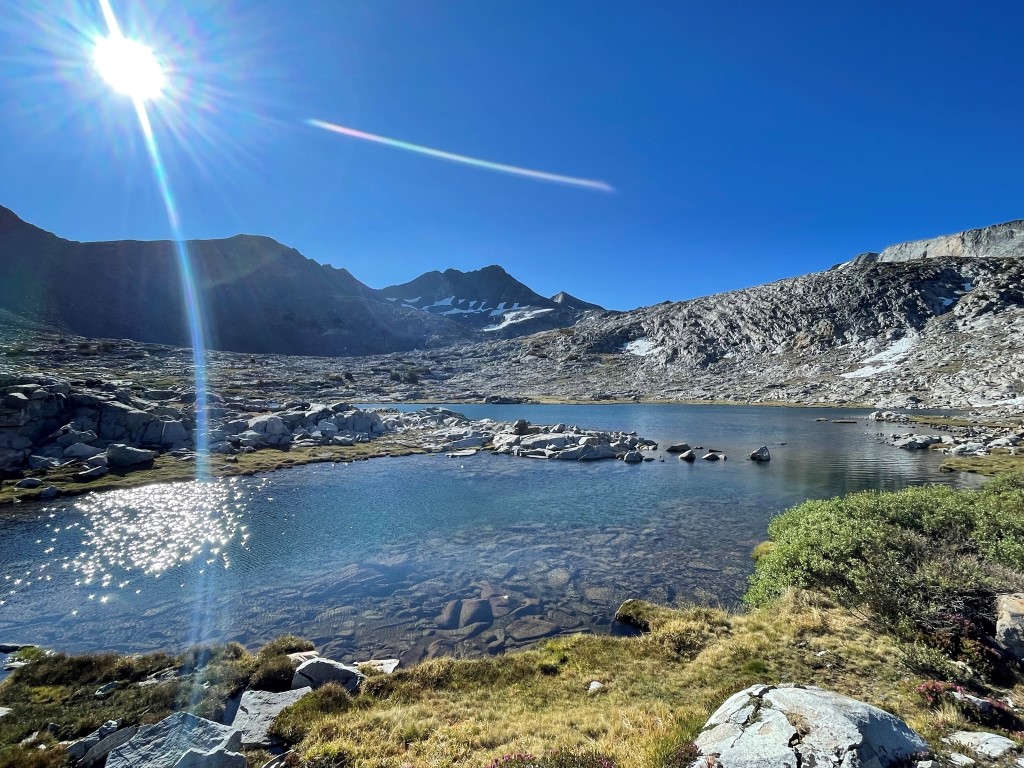
I hiked southeast up some slabby rock and went past a few small lakes. At 7.8 miles I reached the large unnamed lake (10514 feet) just below Mount Florence.
I hiked around the western shore of the lake. Large boulders made this very time consuming.

Once I was on the other side of the lake, I climbed south up a steep chute. I had to traverse a large snowfield at one point. The snow was soft enough that I was able to kick-step my way across. I didn’t have my crampons with me, but they probably would have been useless here anyway.

Scrambling up the boulder-filled chute was quite fun.
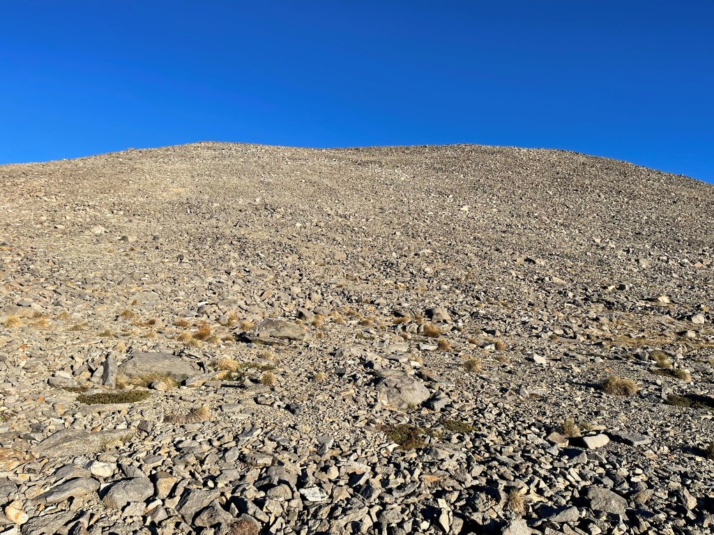
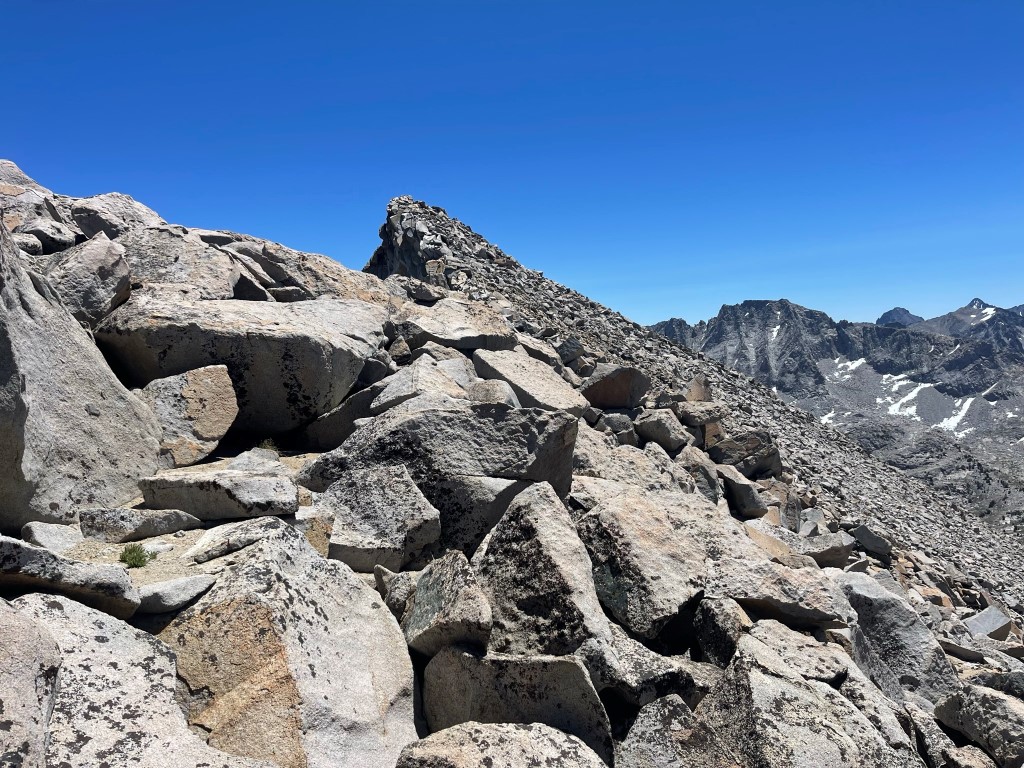
I reached the top of the chute at 8.6 miles at 11251 feet. I turned left to begin climbing up the broad western slope. Thankfully, the wind from the morning had died down.
The slope started pretty gentle but got steeper towards the top. I had to make a few class 3 moves to get around a false summit.
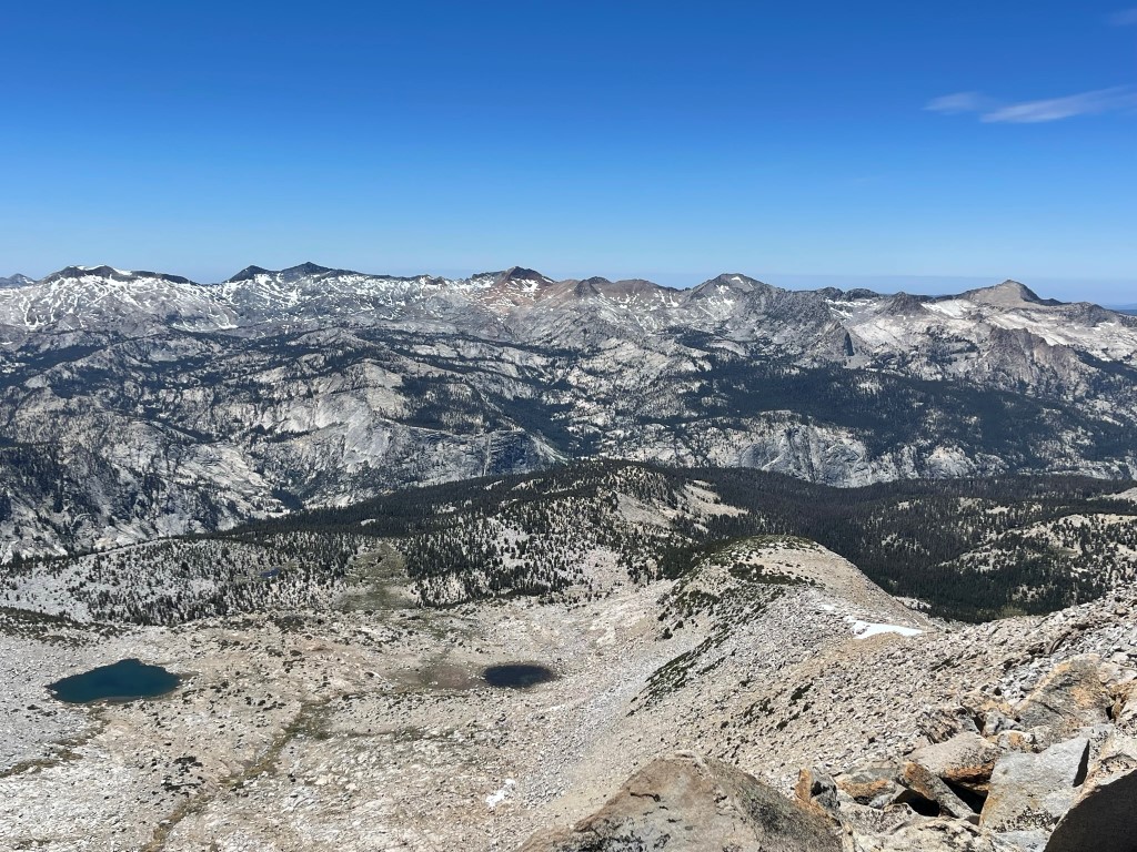
I reached the summit at 12:12pm at 9.6 miles!

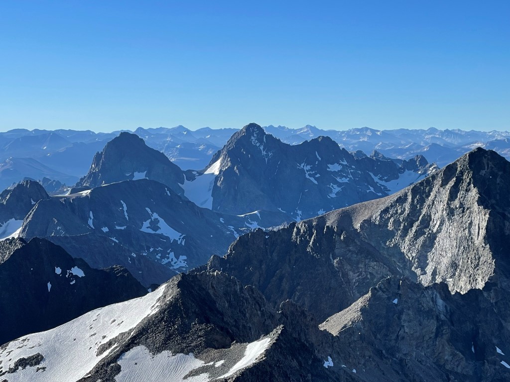
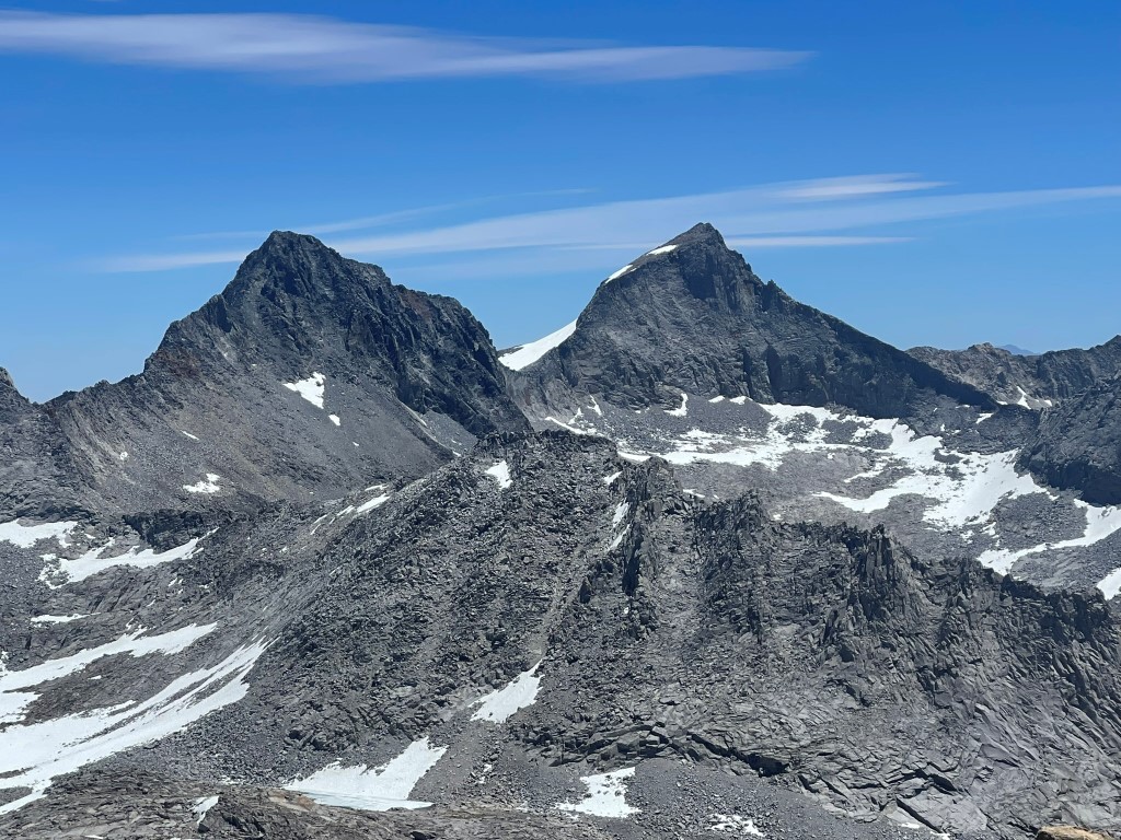
I signed the register which had been placed in 2009. The most recent entry was from June 25. I had a great view of Maclure (left) and Lyell (right) to the east:
Bear Creek Spire, Gabb, Hilgard, Goddard, and Darwin among others to the south:

Merced Peak, Red Peak, Gray Peak, and Mount Clark to the west:
After a nice break I made my way back down the western slope. Traversing around the false summit was very tedious once again. I then descended the chute towards the lake.

I reached the lake and hiked around to the north side of it.
I took a nice break here to get water and soak my feet a little. I then retraced my steps to the northwest as I headed down past the small lakes.
I picked up my gear at 12.9 miles and then descended through the woods to the Lewis Creek Trail. I went north a short way and then found a nice spot off the trail to set up camp and spend the night.

Stats for day 3 were 13.95 miles, 4741 feet elevation gain, and 10:42:22 total time.
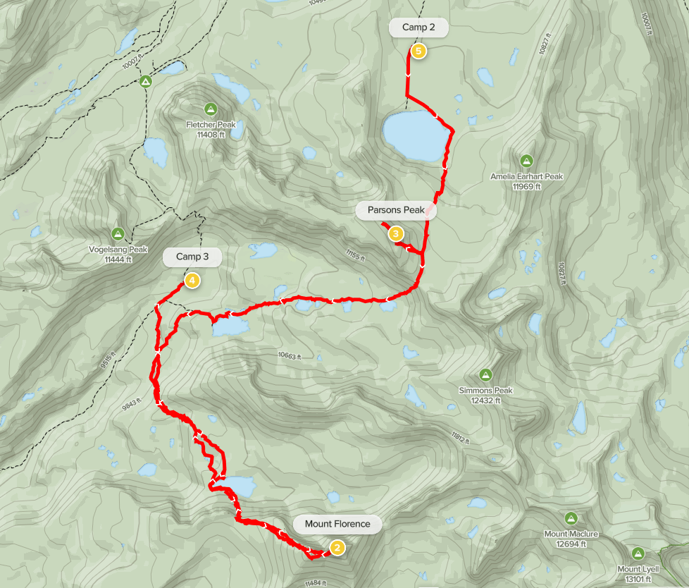

Day 4
My plan for day 4 was to hike up to Vogelsang Pass, climb Vogelsang Peak (11493 feet), and then descend the other side of the pass and hike out from there. I began hiking at 5:04am from 9841 feet above sea level.
I could see Vogelsang Peak high above me from the trail.

The trail leading up to the pass was very steep at times.

I reached Vogelsang Pass at 1.4 miles at 10680 feet. I dropped my gear and began climbing west.
I climbed west up a broad slope and then turned southwest up a gully.
I reached the top of the gully and then turned northwest towards the peak.
There was some brush to deal with, but thankfully it wasn’t too thick.

I reached the summit at 6:46am at 2.2 miles! The register just consisted of a few sheets of paper. It dated back to 2021 and the most recent entry was from July 2. I had a great view of Mount Florence:
Maclure and Lyell:
Half Dome to the west:
After a short break, I descended back to the pass.
I reached the pass at 2.9 miles and picked up my gear. I then headed north towards Vogelsang Lake.
I reached Vogelsang Lake at 3.7 miles. I noticed some backpackers set up nearby.

At 4.3 miles I reached Vogelsang High Sierra Camp. This is one of 5 High Sierra Camps located in Yosemite, and it contains a number of cabins for hikers to sleep in comfortable beds. It’s very out of place in the wilderness if you ask me.

I hiked north on the Rafferty Creek Trail back towards Tuolumne Meadows.
It was about 6 more miles from there. I reached the parking lot at 11:01am. Stats for day 4 were 11.9 miles, 1772 feet elevation gain, and 5:56:55 total time.


