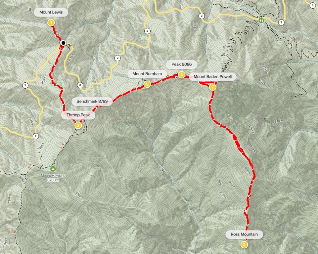
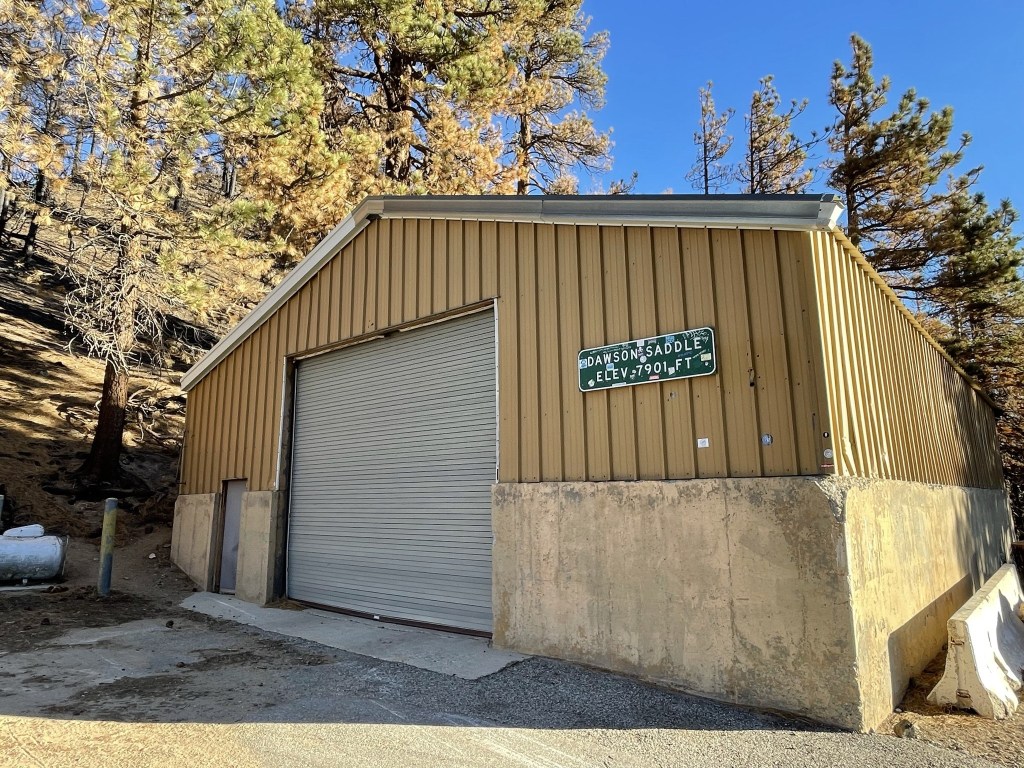
It had been almost an entire year since I did any hiking in the San Gabriel Mountains, so I decided to plan a day hike on the first weekend of June to climb a few HPS peaks. First up was Mount Lewis, an 8396 foot peak just north of Highway 2 and also the high point of the Pleasant View Ridge Wilderness. I woke up at 4am and hit the road at 4:30. It took me 2 hours 15 minutes to drive to Dawson Saddle on the Angeles Crest Highway (Hwy 2). I parked at a turnout on the south side of the road just across from a maintenance shed. Mount Lewis would be a very short hike, so I figured it was a good warmup for a long day. There is a pretty well established use trail to the summit that starts from behind the maintenance shed. I began hiking at 6:49am from 7921 feet above sea level.
The trail began just to the left of the shed.

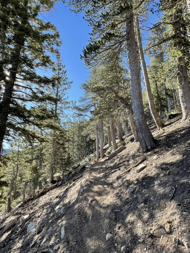
It was a little chilly, but I was comfortable without a jacket. The trail was steep and covered in loose pine needles.

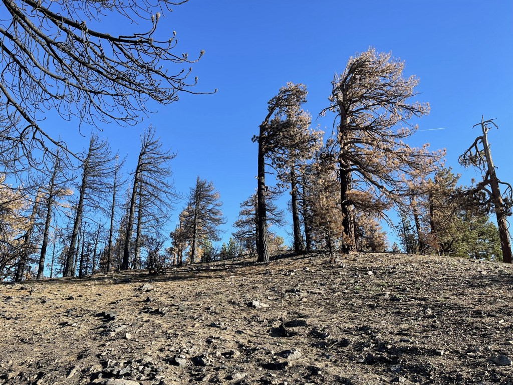
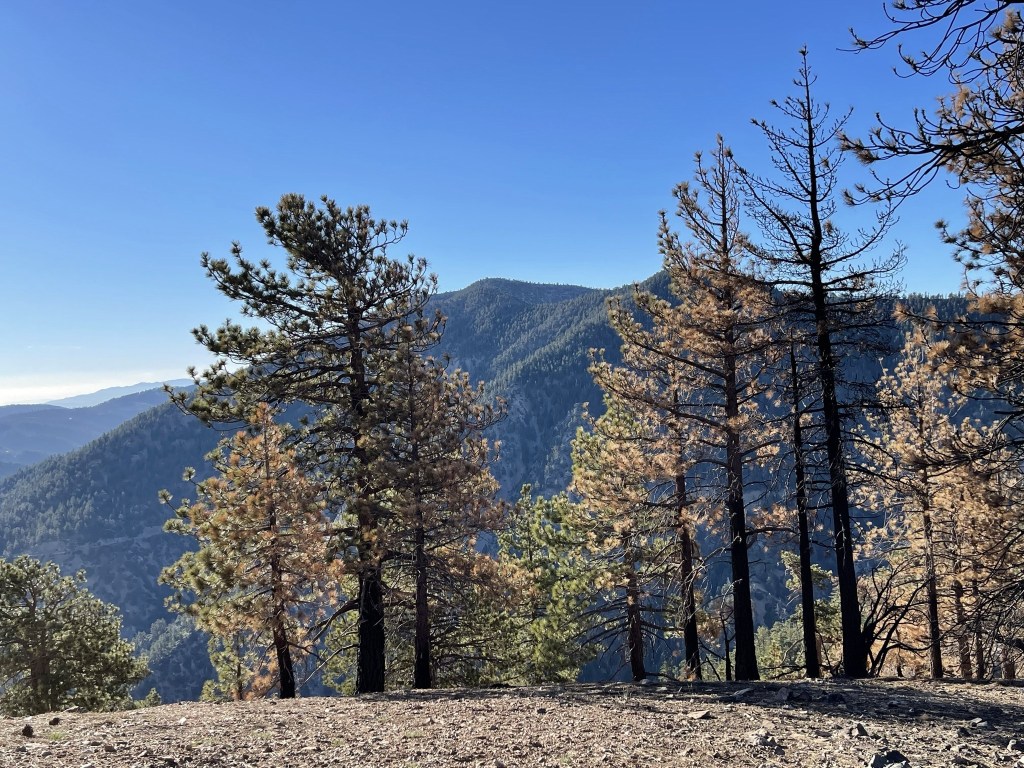
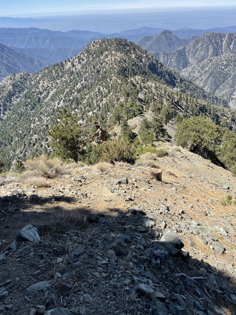
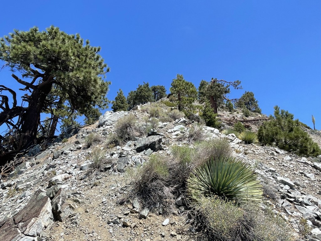
The trail wasn’t quite as steep near the top. Most of the trees on the mountain appeared to be dead.
I reached the summit at 7:03am at 0.4 mile. I searched around but did not locate a register. The views were mostly obscured due to tree cover. I could see Tehachapi Mountain to the northwest with the city of Palmdale in the foreground.
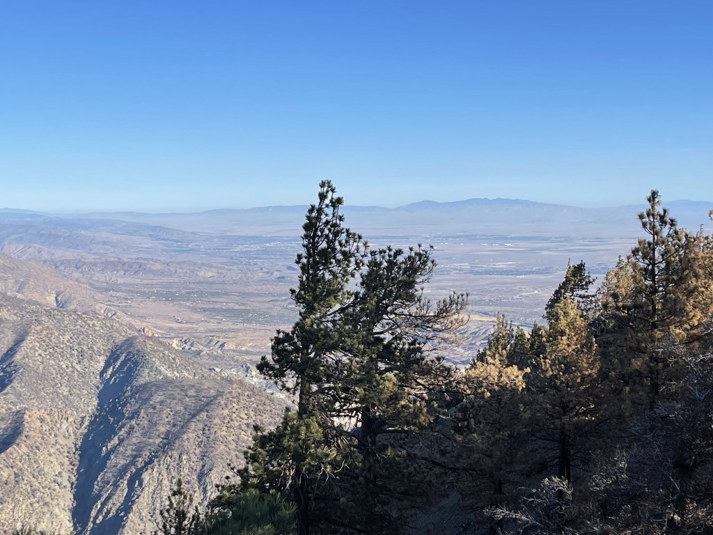
I could see Mount Baden-Powell nearby to the southeast.
I began descending after a short break.
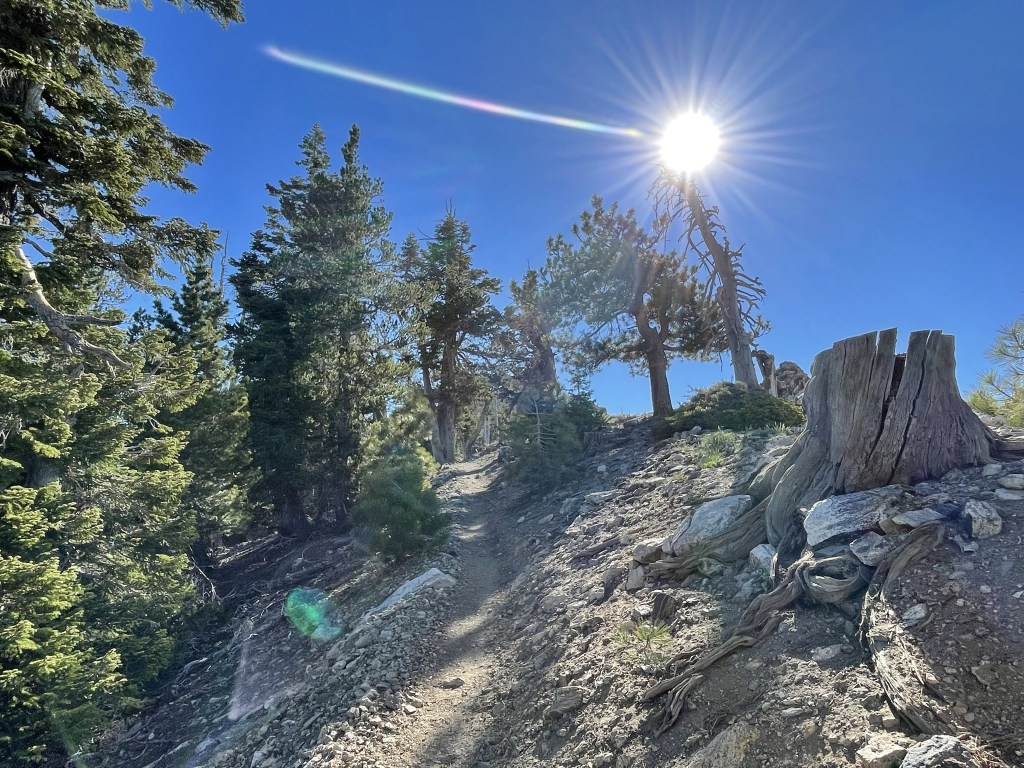
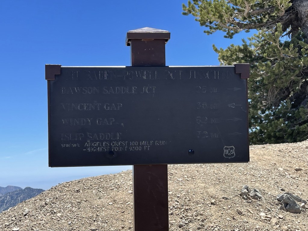
I reached the highway once more at 0.9 mile. I crossed to the other side of the road to begin the main part of my hike. My plan was to hike all the way to Ross Mountain (7402 feet), while picking up Throop Peak (9138 feet), Mount Burnham (8997 feet), and Mount Baden-Powell (9399 feet) along the way. I began hiking south along the Dawson Saddle Trail.
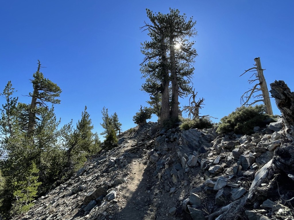
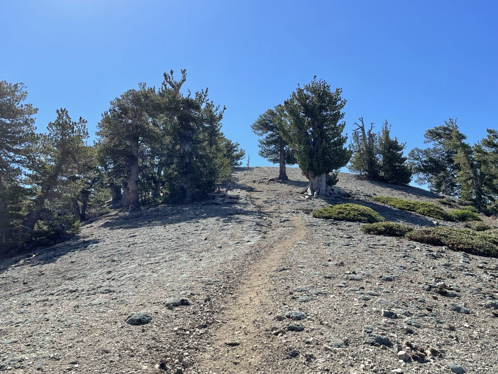
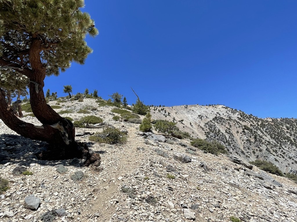
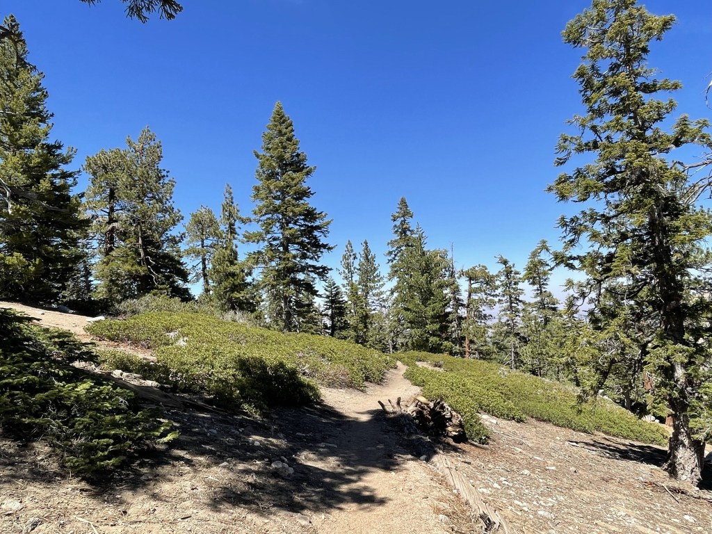
The trail made a couple switchbacks and then followed a ridge towards Throop Peak.
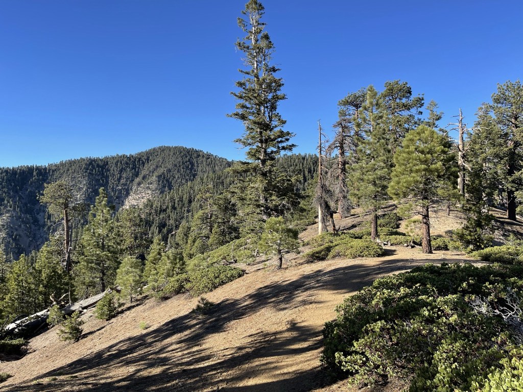
The trail steadily gained elevation but was never too steep.
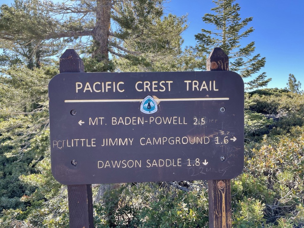
At 2.7 miles I reached the PCT. I realized that I missed the cutoff trail that would have taken me directly to Throop Peak. I was 0.3 mile northeast of Throop so I would need to backtrack to reach it. Instead, I decided to save Throop for later so I could take the cutoff trail on my way back down.
I hiked northeast along the PCT. At 2.8 miles I reached Benchmark 8789 which was on a rock right along the trail.
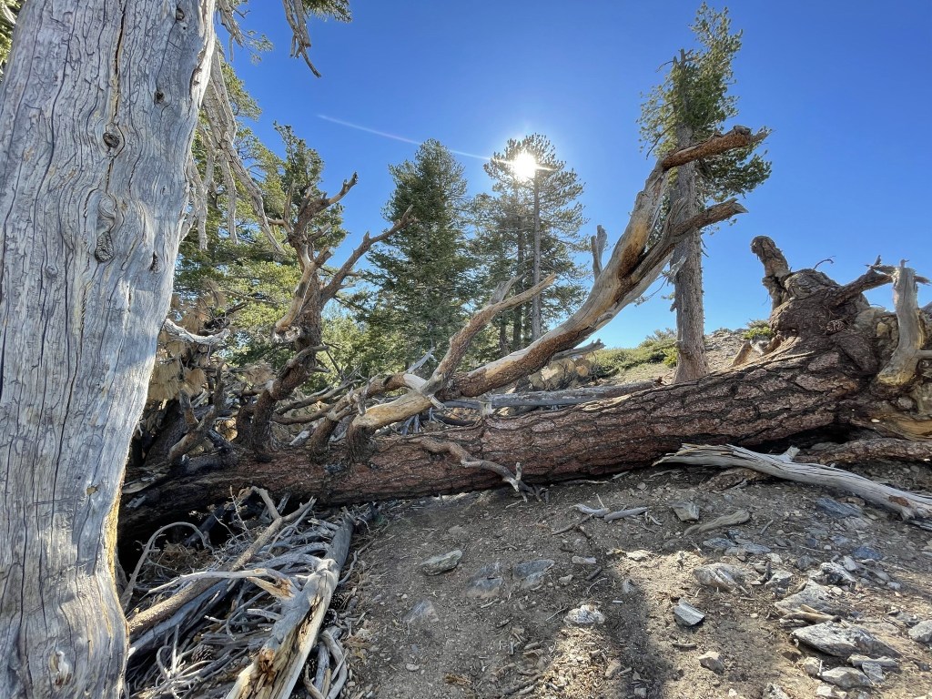
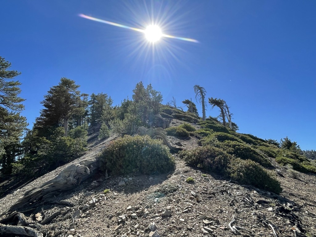
I continued east on the PCT. The weather was very beautiful.
At one point a fallen tree blocked the trail. I was able to hike around it on the uphill side.
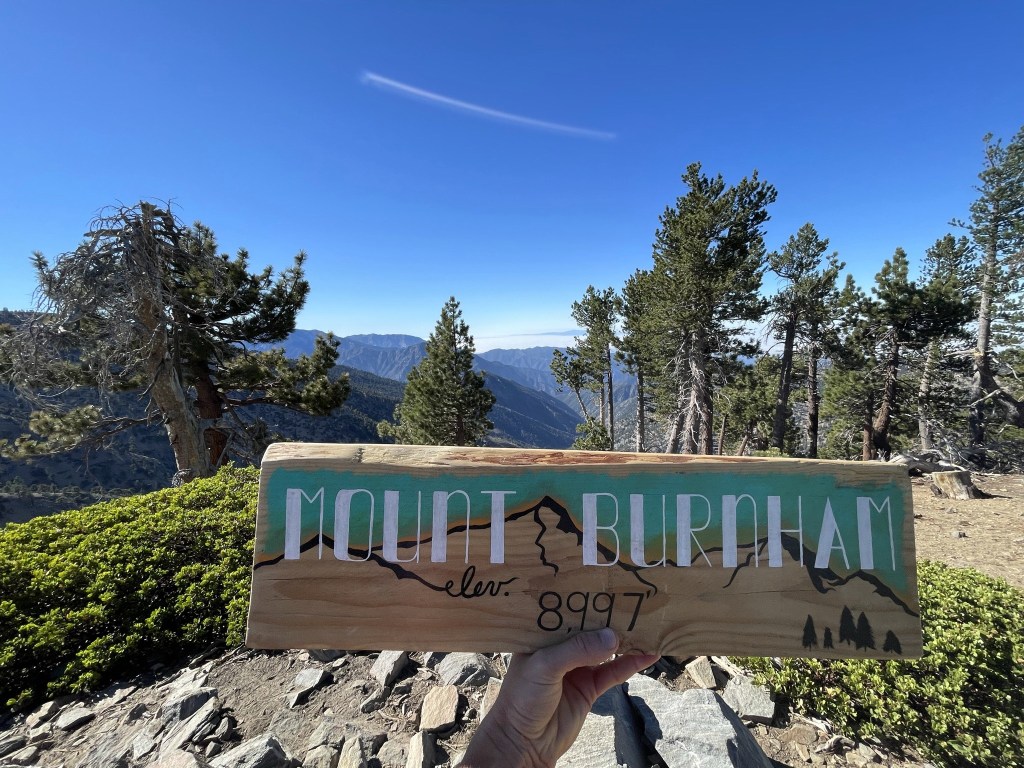
I reached Mount Burnham at 8:38am at 3.9 miles. The trail goes right over the peak, so no extra effort was required. This was actually my 100th HPS peak (out of 280) which was kind of cool. Unfortunately, Burnham is one of those lame HPS summits with hardly any prominence. I would have preferred a more significant peak for my 100th, but oh well. I didn’t locate a register, but there was a cool sign on the summit. These types of homemade signs are common in the San Gabriels.
Mount Baden-Powell was looking close now. It was a little over a mile further along the PCT.
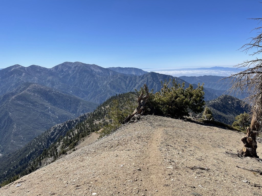
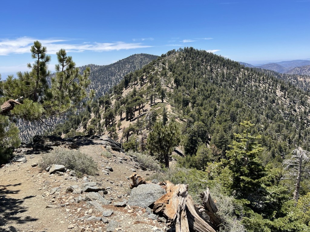
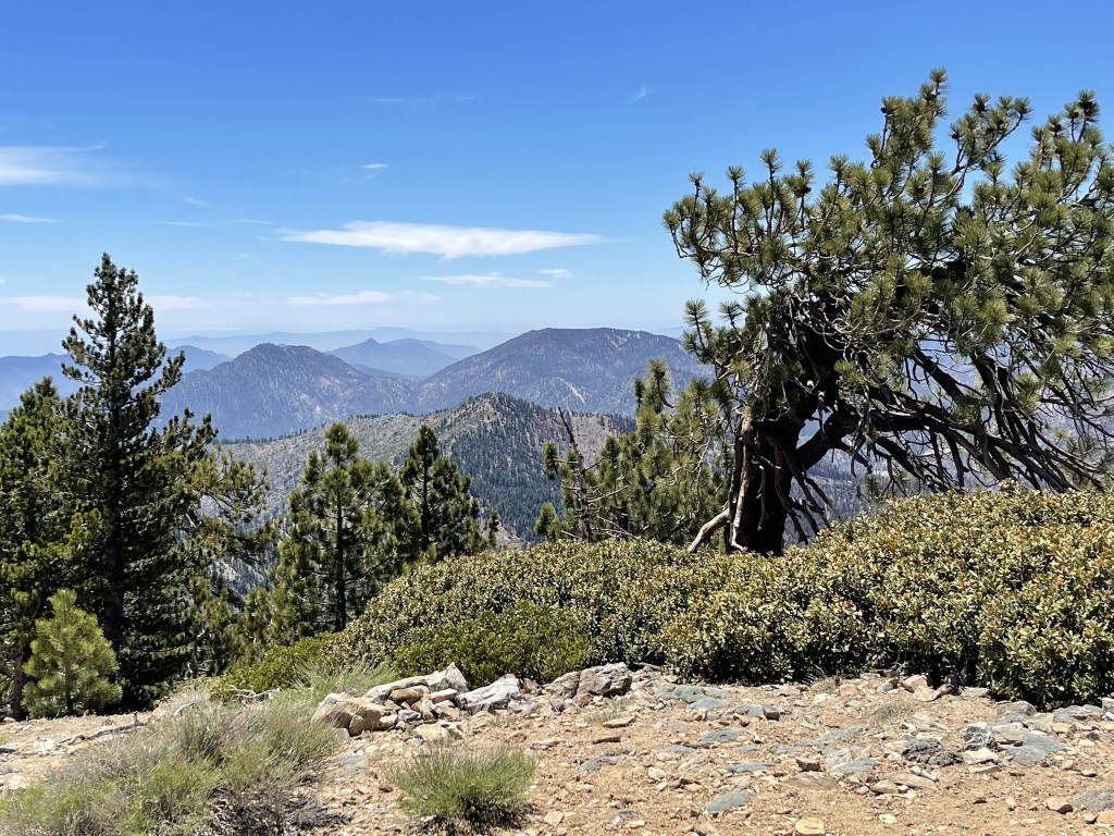
I pressed on after a short break. The section of the PCT is really beautiful. There are steep drop-offs on both sides and excellent views of both the LA Basin to the south and the Mojave Desert to the north.
There was an unnamed peak of elevation 9086 between Burnham and Baden-Powell that I chose to climb since it was just a short distance off the trail. I left the trail at 4.5 miles and climbed about 100 feet straight up the ridge.
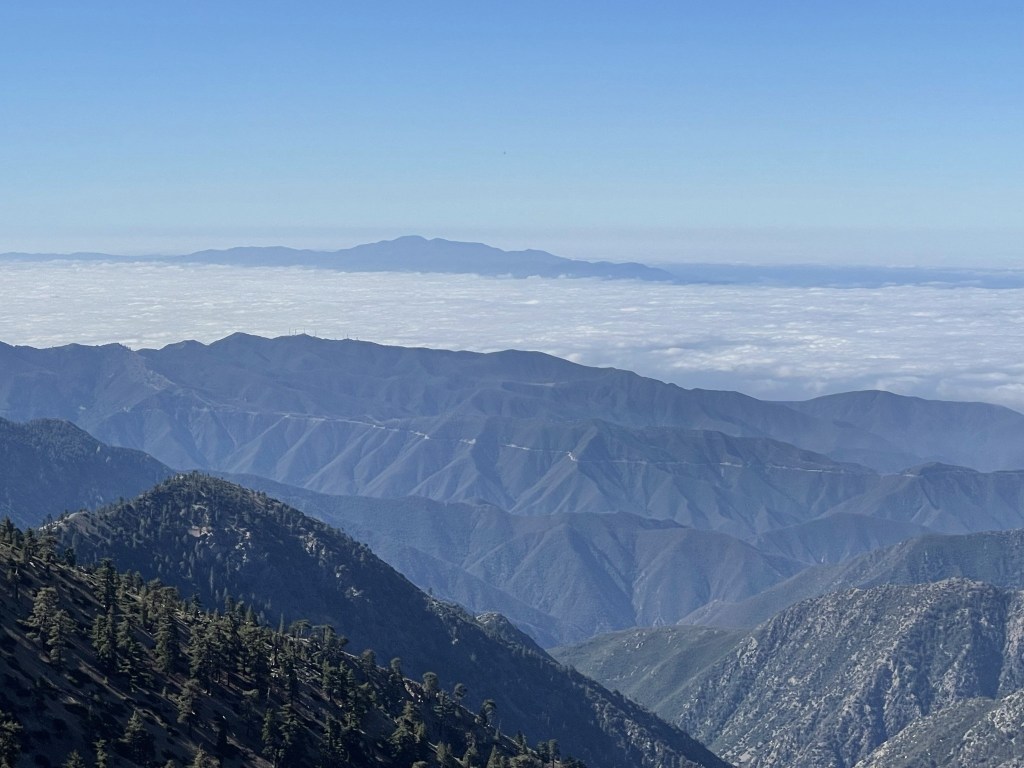
I reached the summit of Peak 9086 at 4.6 miles. I had an excellent view of the Santa Ana Mountain rising above the marine layer to the south.
I descended east and soon reached the PCT again.
The PCT doesn’t go directly over Baden-Powell but there is a short 0.2 mile trail that can be used to reach the summit. I turned right onto the summit trail at 5 miles.
I reached the summit of Baden-Powell at 9:25am at 5.2 miles!
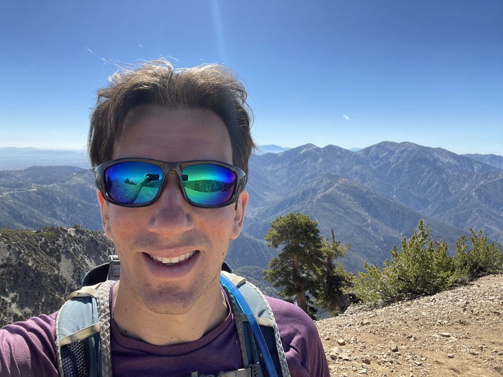
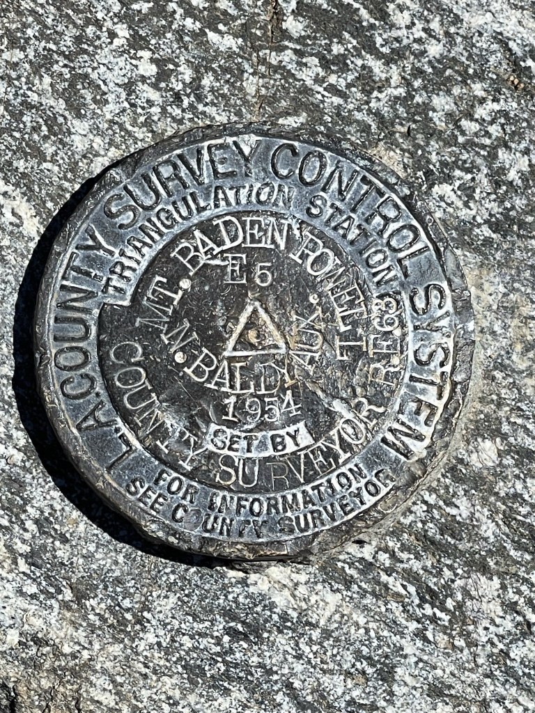
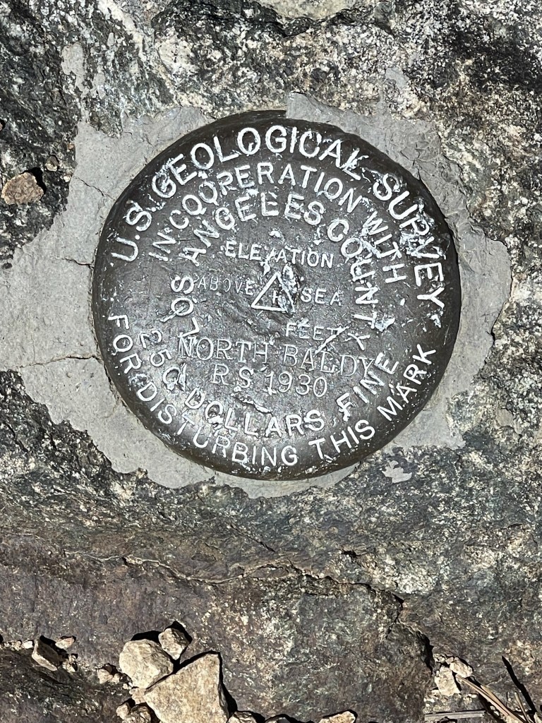
This was actually my second time on Baden-Powell. I had climbed it in November 2018 via the standard route from Vincent Gap. The Vincent Gap route is about the same mileage as the route I just taken from Dawson Saddle. However, Vincent Gap is quite a bit lower than Dawson Saddle so there is much more elevation gain. The Dawson Route is more scenic though, as the Vincent Gap route is basically just 4 miles of switchbacks. Baden-Powell is one of the highest and most impressive peaks in the San Gabriels. It is the 2nd most prominent peak in the range as well as LA County (behind Mount Baldy). Because of this, the peak is somewhat popular, but I was surprised to find only about 10 other hikers on the summit. I hadn’t seen anyone on the trail yet, so I figured they had all hiked up from Vincent Gap. I signed the register book which I found on some type of pedestal. The register had been placed on May 31st and had many entries each day. They must go through registers pretty quickly on a popular summit like this. There was an American flag and a wooden sign on the summit. Mount Baldy can be seen on the right.
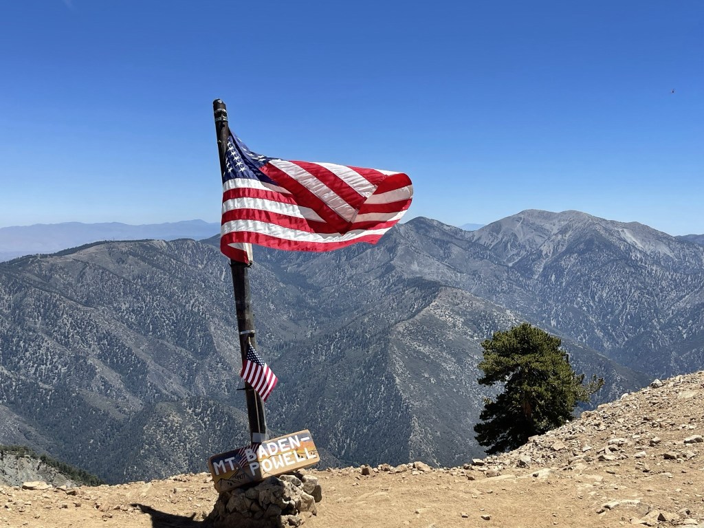
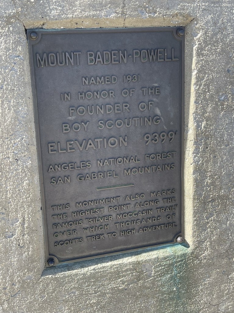
The mountain is named for Lord Baden-Powell, the founder of the Boy Scouts. There is a large monument on the summit in his honor.

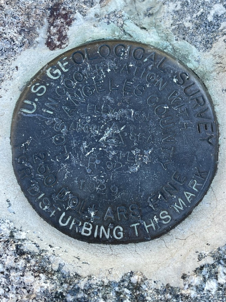
I located 2 benchmarks. Interestingly, the markers say “North Baldy”
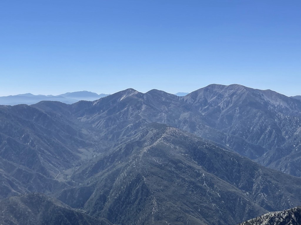
The views were tremendous. To the east I could Pine Mountain, Dawson Peak, and Mount Baldy. San Gorgonio can be seen in the background on the left.
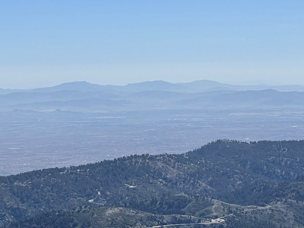
To the northeast I could see the Ord Mountains in the Mojave Desert.
After a short break I started hiking to Ross Mountain. Ross is 2.7 miles south and almost 2000 feet lower than Baden-Powell so I would mostly be descending to get there. There is not official trail to Ross, but I found a decent use trail leading south away from the summit of Baden-Powell.
At 5.8 miles I saw something moving ahead of me on the trail and I realized it was a small herd of bighorn sheep! They didn’t notice me right away, so I pulled out my phone and started taking pictures.
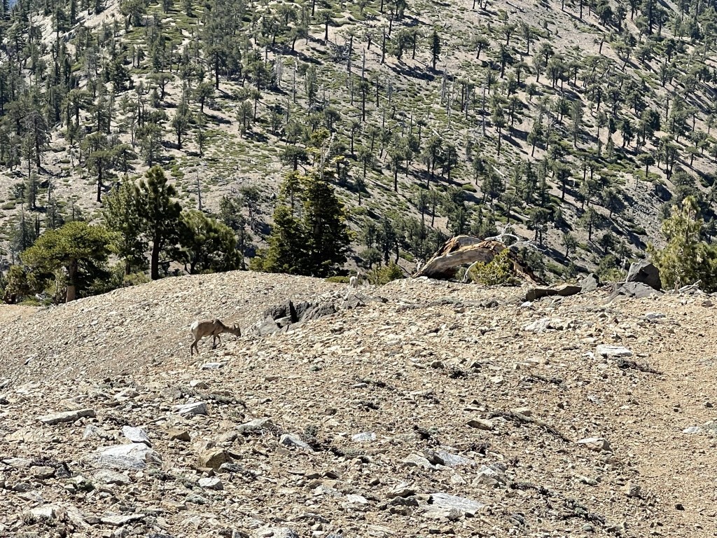
They soon noticed me and took off down the rocky slope.
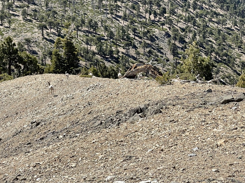
They got to a safe distance and stopped. I counted 6 altogether. It looked to be a mama and her lambs, including 2 babies. The other 3 were bigger but definitely not adult sheep.

After staring me down for a minute or two, they eventually took off again and disappeared. This was my 4th bighorn sheep sighting and my 1st in the mountains (the other 3 were in the desert). I continued descending once the excitement was over. The trail was initially very steep, but then flattened out a little about halfway down. The trail became difficult to follow here.
At 7 miles I saw a deer. Similar to the sheep, it ran away and then stopped to stare at me for a while.

After the flatter part, the trail became very steep again. I could now see Ross Mountain in the distance, still below me.
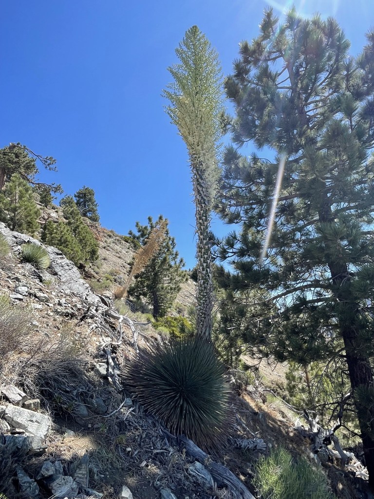
It became warmer and drier as I descended. I saw some of the biggest yucca stalks I had ever seen in my life.
I reached a false summit at 7.9 miles.
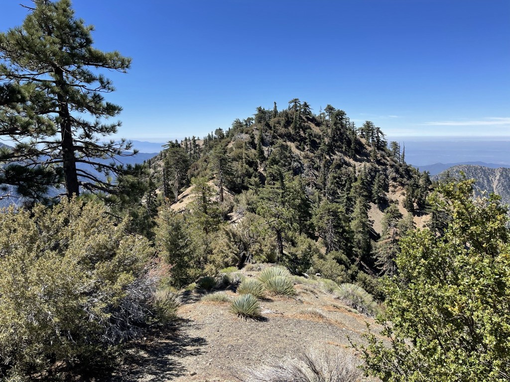
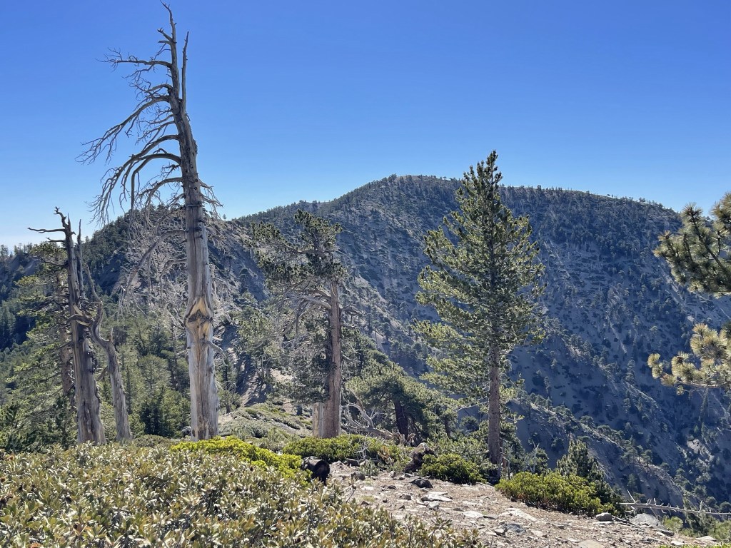
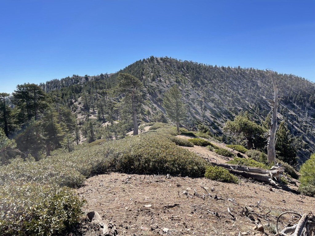
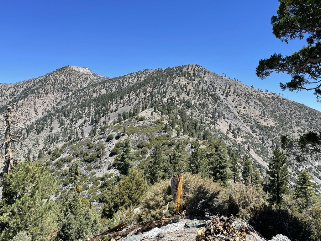
I descended to a minor saddle and then climbed up to the actual summit. I reached Ross Mountain at 10:48am at 8.1 miles! I signed the register which had been placed in 2020. The previous entry was from the day before. The views were okay, but certainly not as good as the much higher Baden-Powell. Looking north I had a good perspective of my other primary destinations on this hike. Throop is the bump on the left, Burnham is the bump in the middle, and Baden-Powell is on the right. The PCT runs along the ridge that connects the 3 peaks.

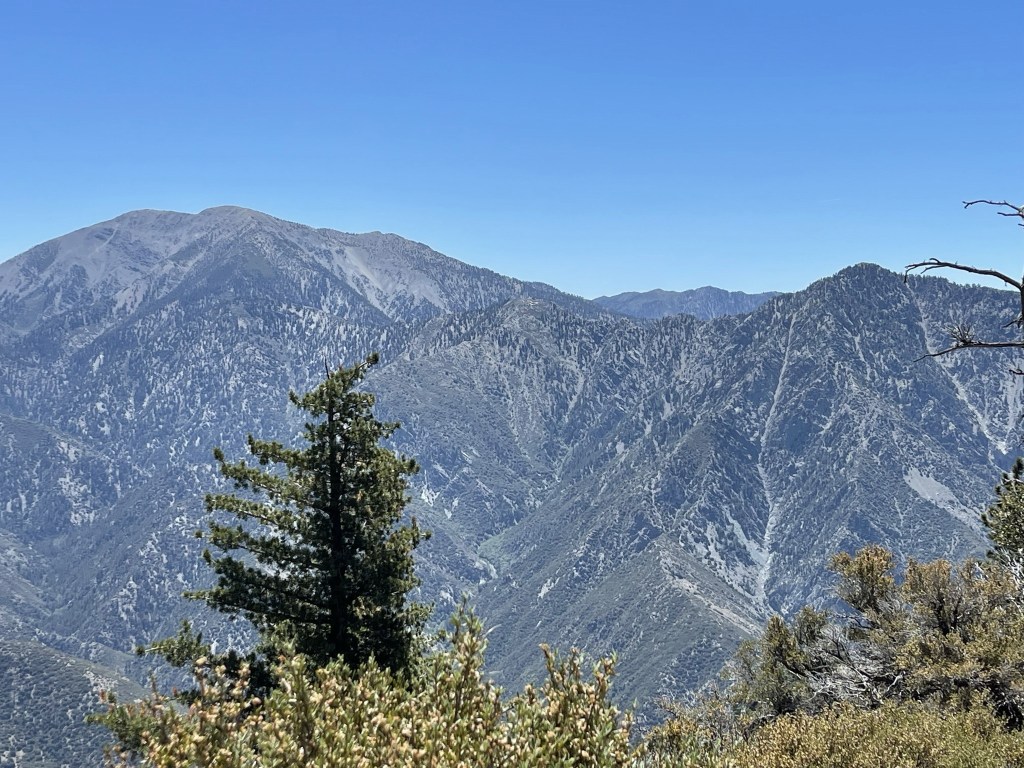
To the east I had a good view of Mount Baldy (left) and Iron Mountain (right). I recalled my climb of Iron Mountain a few years ago – it’s definitely one of the hardest and most remote peaks in the San Gabriels.
I took a 20 minute break and then began the re-ascent to Baden-Powell. This would be the most difficult part of the day. It was a steep push to Baden-Powell plus it was much warmer at this lower elevation. I hiked north along the same ridge I had descended.
Some parts were very steep!
I saw 2-3 gliders (not pictured) flying overhead as I approached Baden-Powell.
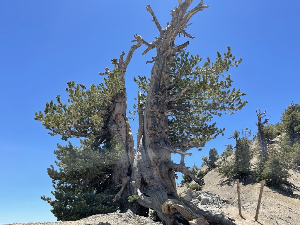
I reached Baden-Powell once more at 11.1 miles. Just like before, there were about 10 people on the summit. I decided to make a slight detour to check out the Wally Waldron Tree, which is a 1500 year old limber pine and possibly the oldest tree in the San Gabriels. The tree is located at the junction of the summit trail and the PCT heading down to Vincent Gap. I reached the tree at 11.4 miles.
I took a picture and then started hiking west on the PCT.
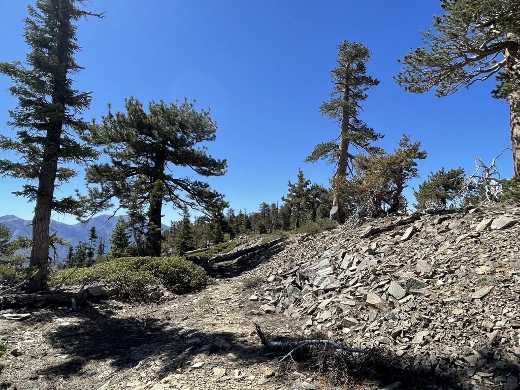
I followed the PCT up and over Mount Bunrham towards Throop Peak (which I had missed earlier).
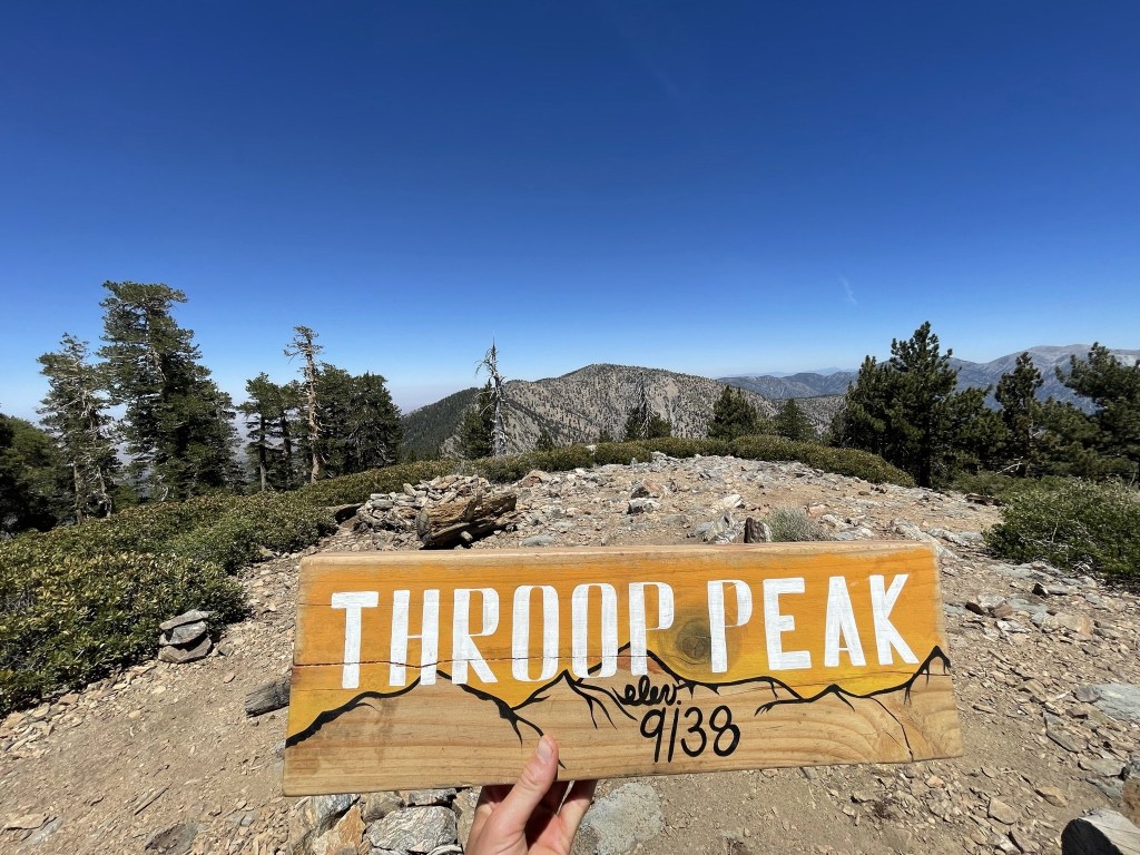
At 13.7 miles I passed the Dawson Saddle Trail. The PCT winds around the south side of Throop Peak but there is a use trail which heads directly up to the summit. I ascended this trail and reached Throop at 2pm at 14 miles. There was a cool sign on this peak as well.
There was also a plaque honoring the peak’s namesake.

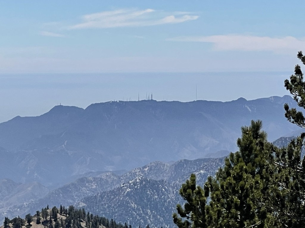
There was one other hiker taking a break on the summit when I arrived. Once again, I did not locate a register. Of the 5 HPS peaks I visited on this hike, I only found registers on Baden-Powell and Ross. I could see the Mount Wilson observatory to the southwest.
To the west I could see Mount Waterman.
I descended northwest off the summit on a decent use trail.
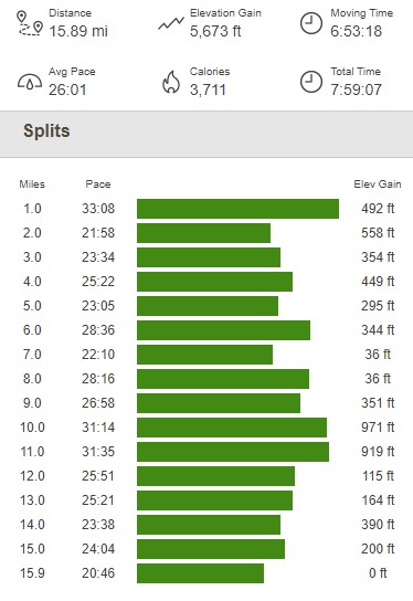
At 14.4 miles I reached the main trail coming up from Dawson Saddle. From there, it was about a mile and a half back to the highway. I reached the car at 2:48pm. This hike totaled 15.89 miles, 5673 feet elevation gain, and 7:59:07 total time.