Day 1
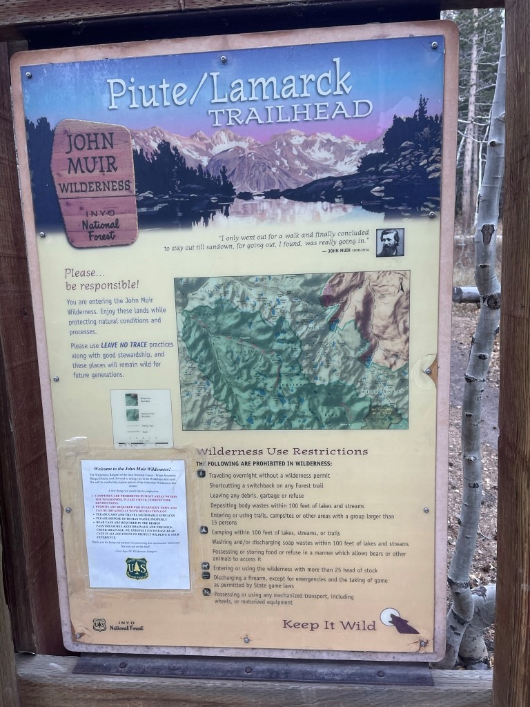
Mount Goddard (13568 feet) is a large mountain located in the northern part of Kings Canyon National Park. It is found deep in the Sierra backcountry with no short approaches. I planned to climb it along with a few other peaks located nearby as part of a 3 day backpacking trip. I left San Diego Thursday evening after work and drove to the Sawmill Pass Trailhead where I spent the night. I chose to sleep here since it has easy access from the highway (<10 minutes) and would be dark and quiet. I woke up early the next morning and drove an hour to the North Lake Campground southwest of Bishop. The campground is located at the end of Highway 168 with a short section of well graded dirt at the end. I parked in the overnight parking lot which is just outside the gates of the campground. It was 20 degrees when I arrived, so I knew I was in for a very cold weekend. I began hiking at 7:20am from 9289 feet above sea level. I hiked through the campground, which was closed for the season, and reached the trailhead at 0.6 mile.
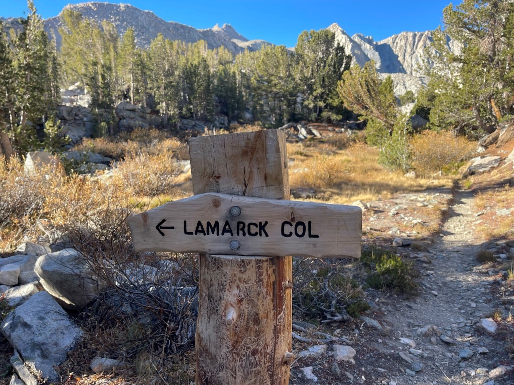
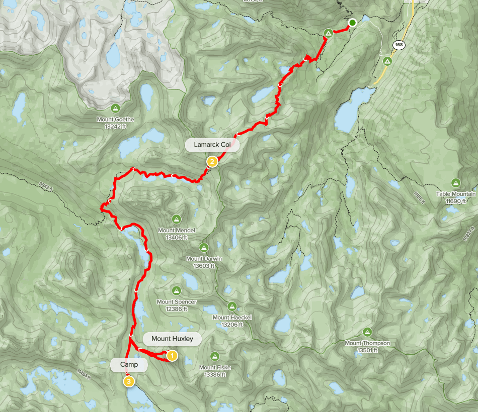
The plan for day 1 was to hike up and over the Sierra Crest at Lamarck Col, descend Darwin Canyon, pick up the JMT near Evolution Lake, and hike south to Wanda Lake and set up camp. It was an early enough start that I also hoped to pick up a peak along the way. I followed the trail as it meandered southwest away from the campground.
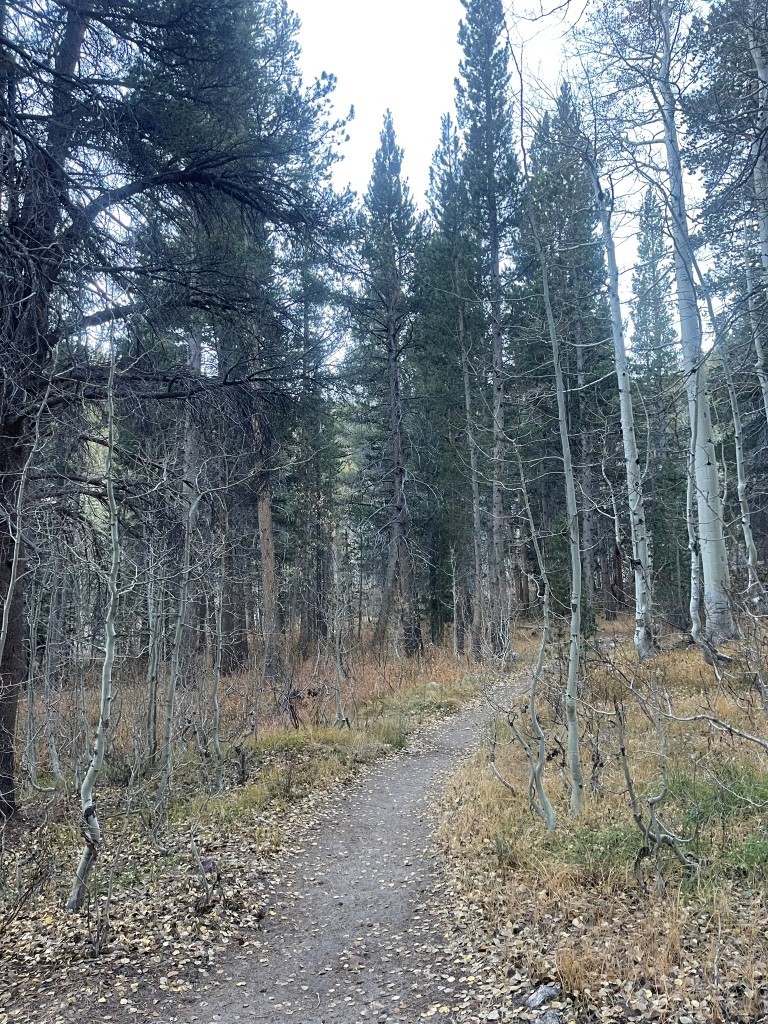
The trail gained some elevation as it made switchbacks through the woods. At 2.4 miles I reached Lower Lamarck Lake.
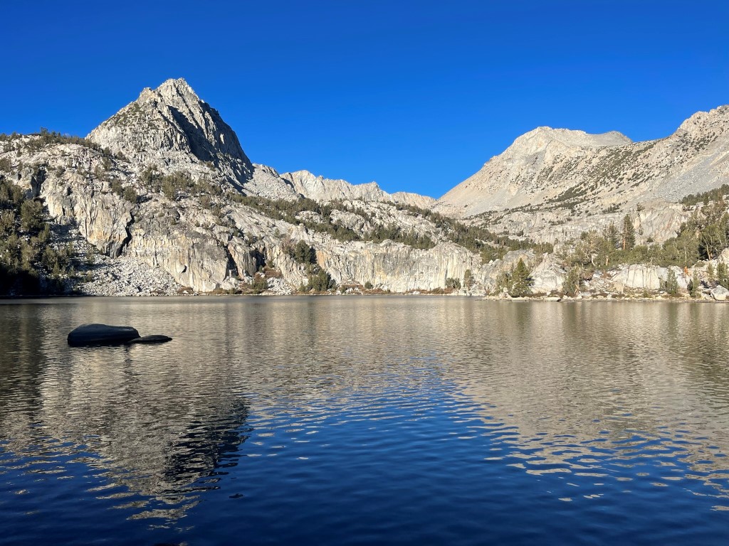
At 3 miles I turned left towards Lamarck Col. A right turn would have taken me to Upper Lamarck Lake.
I caught a glimpse of Upper Lamarck Lake from above.

The trail continued its steep ascent to the southwest as I neared the tree line.

I passed a hiker on his way down as I neared Lamarck Col. He was from Montana and had spent a night at one of the lakes in Darwin Canyon. He would be the only person I saw until I was close to the trailhead on my way out.
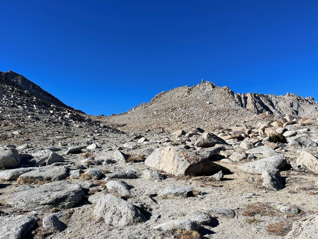
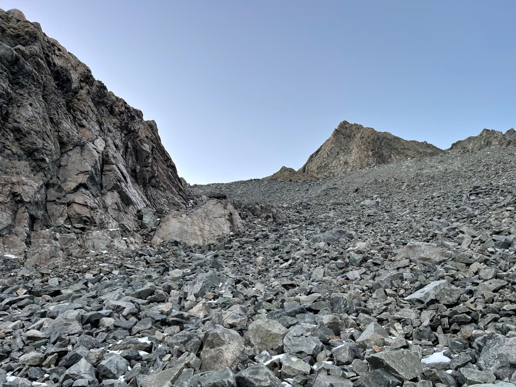
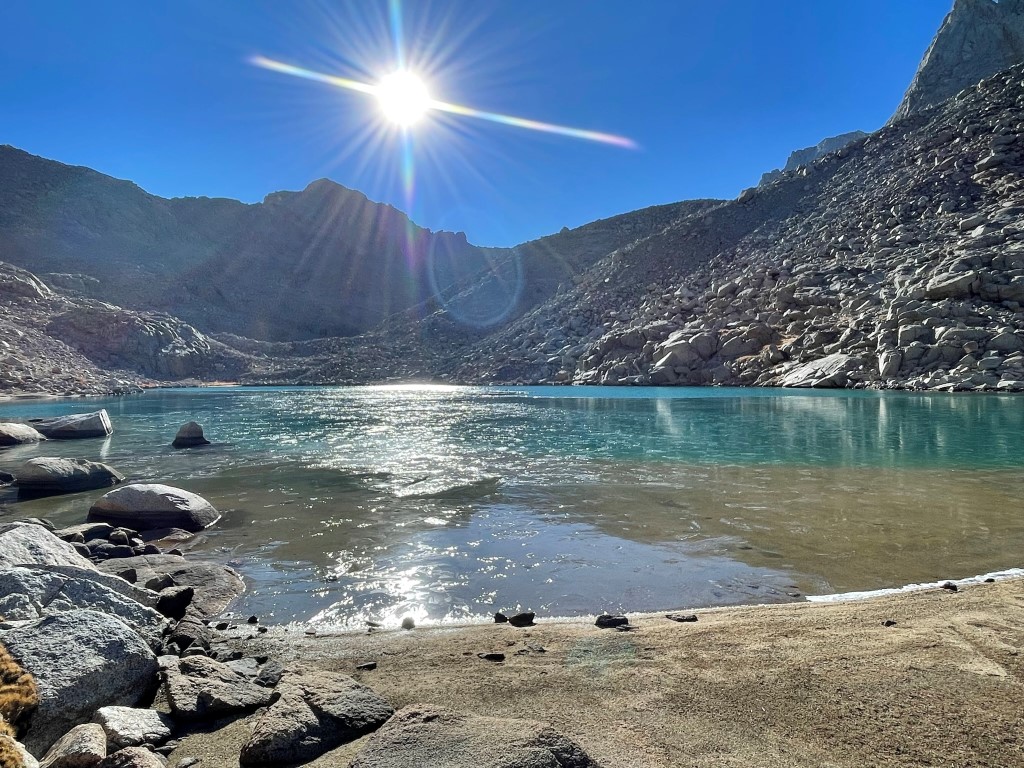
I reached a small dry tarn just beneath col. I ascended a steep section of loose rock to the right of the ice.

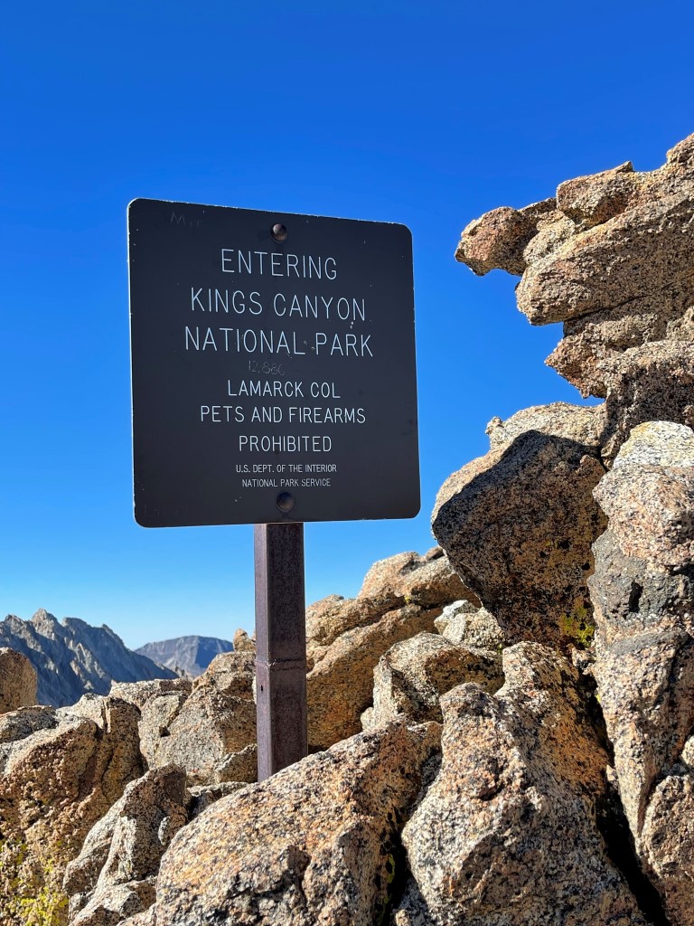
I reached Lamarck Col at 5.8 miles at just under 13000 feet. I then descended the other side of the col into Darwin Canyon.
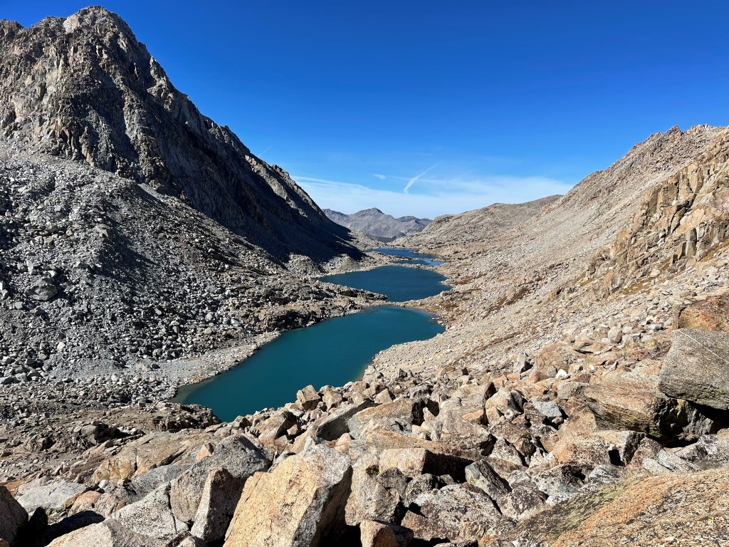
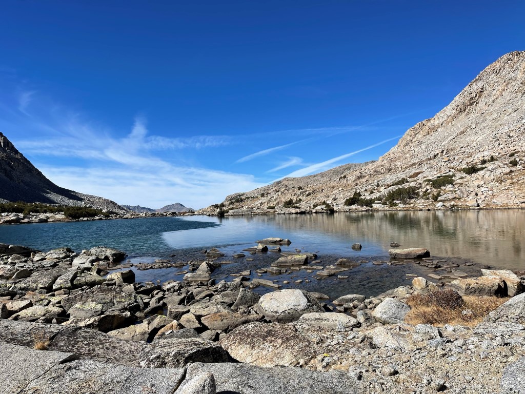
I descended about 1300 feet and then passed a series of 4 lakes as I hiked west through the canyon.
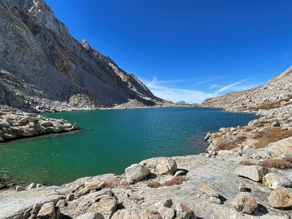
Each lake was prettier than the last.
I was able to follow a vague trail that faded in and out along the north shore of the lakes. I then descended southwest from Darwin Canyon and passed another small lake.
I descended from the lake steeply to the south and reached the JMT/PCT at 9.5 miles. I hiked southeast on the trail for a short way and then reached Evolution Lake.
The trail went around the north side of the lake and then proceeded south along the eastern shore. It then crossed a creek at the head of the lake.
I continued south through Evolution Basin and reached Sapphire Lake with Mount Huxley (13086 feet) towering over it.
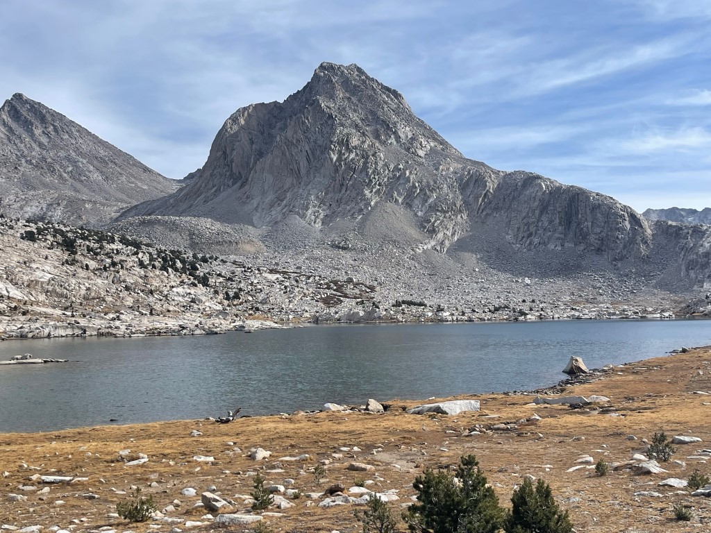
I made it past Sapphire Lake and decided I had enough daylight to climb Mount Huxley. At 13.2 miles I dropped my overnight gear and began hiking towards the west face of Huxley. It would be about an 1800 foot climb from this point.
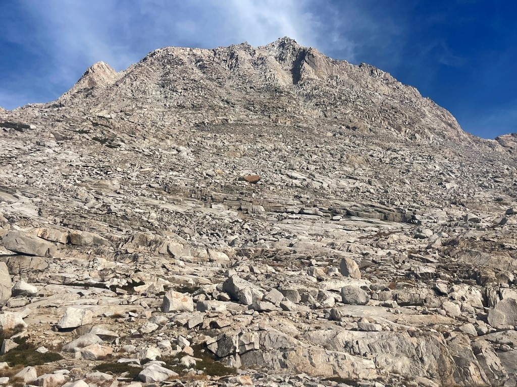
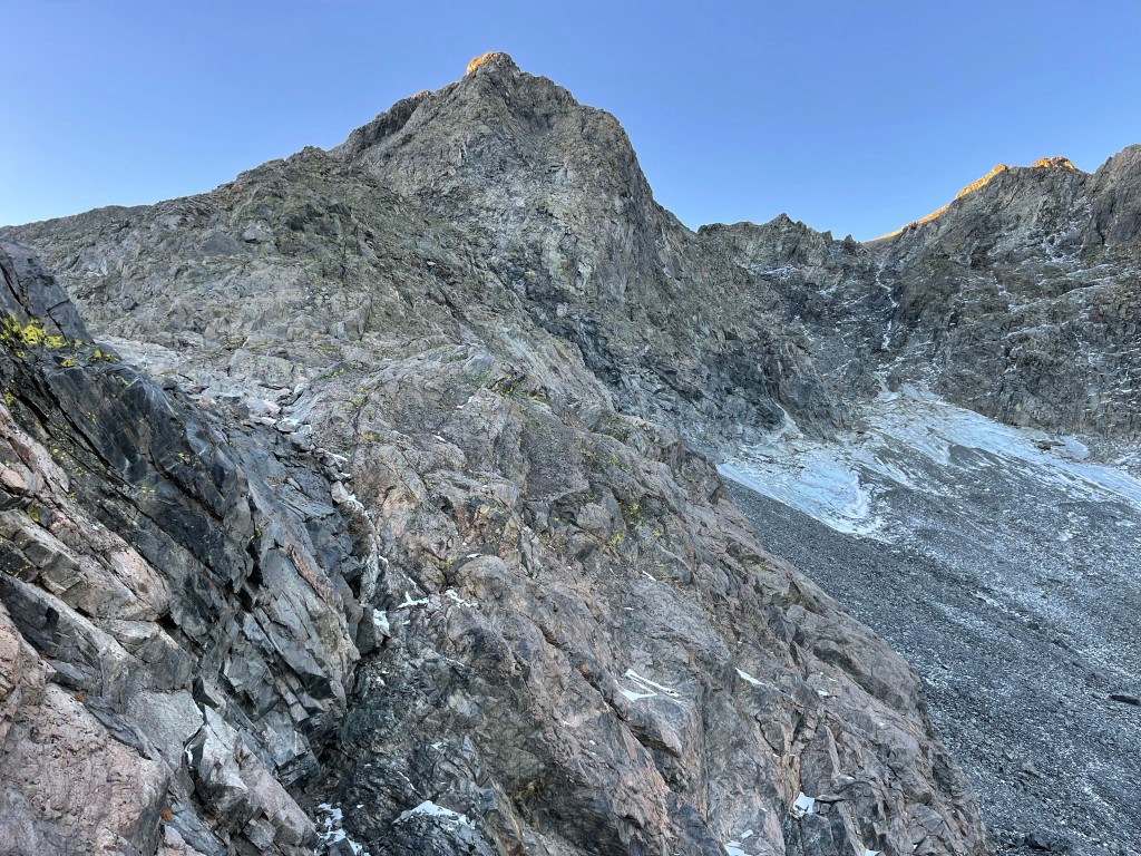
I proceeded up some rocky benches and then began climbing up a steep chute on the left side of the west face.
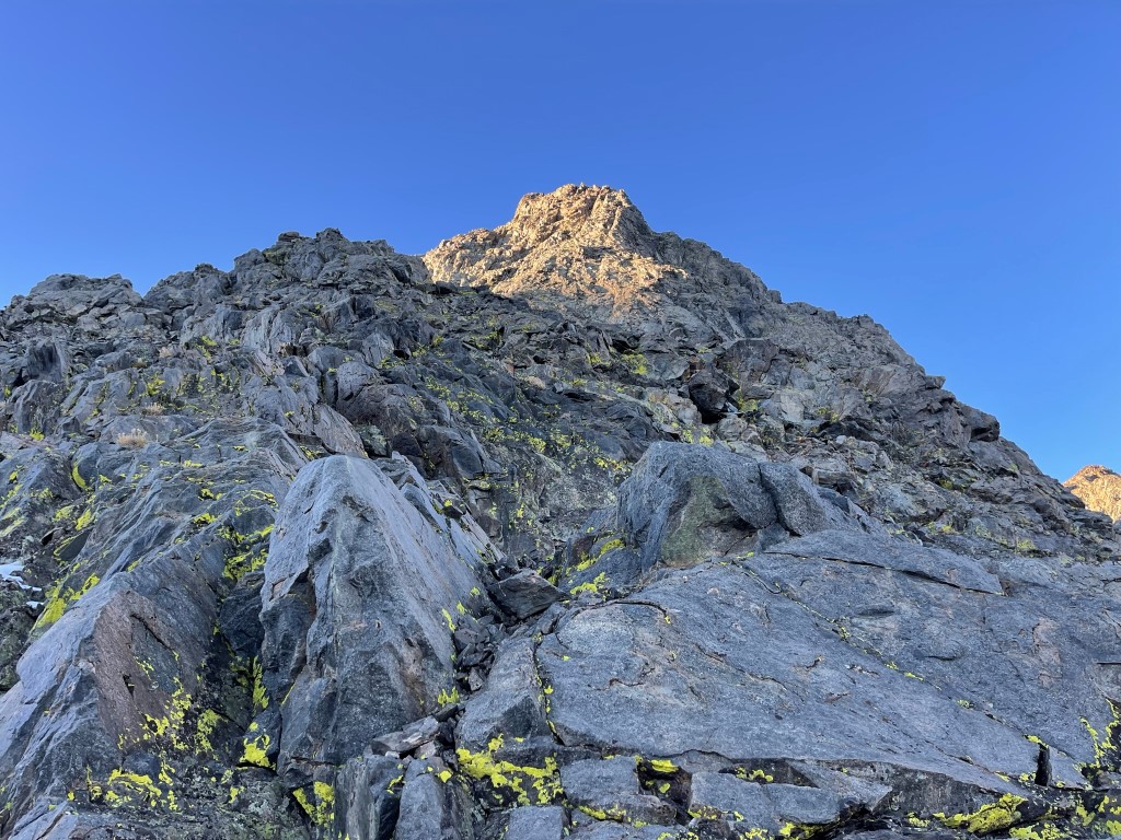
The climbing was straightforward class 2. It was a bit loose at times but was actually fairly solid. I eventually reached the summit ridge and turned south towards the top.
I reached the summit at 4:26pm at 14.4 miles!
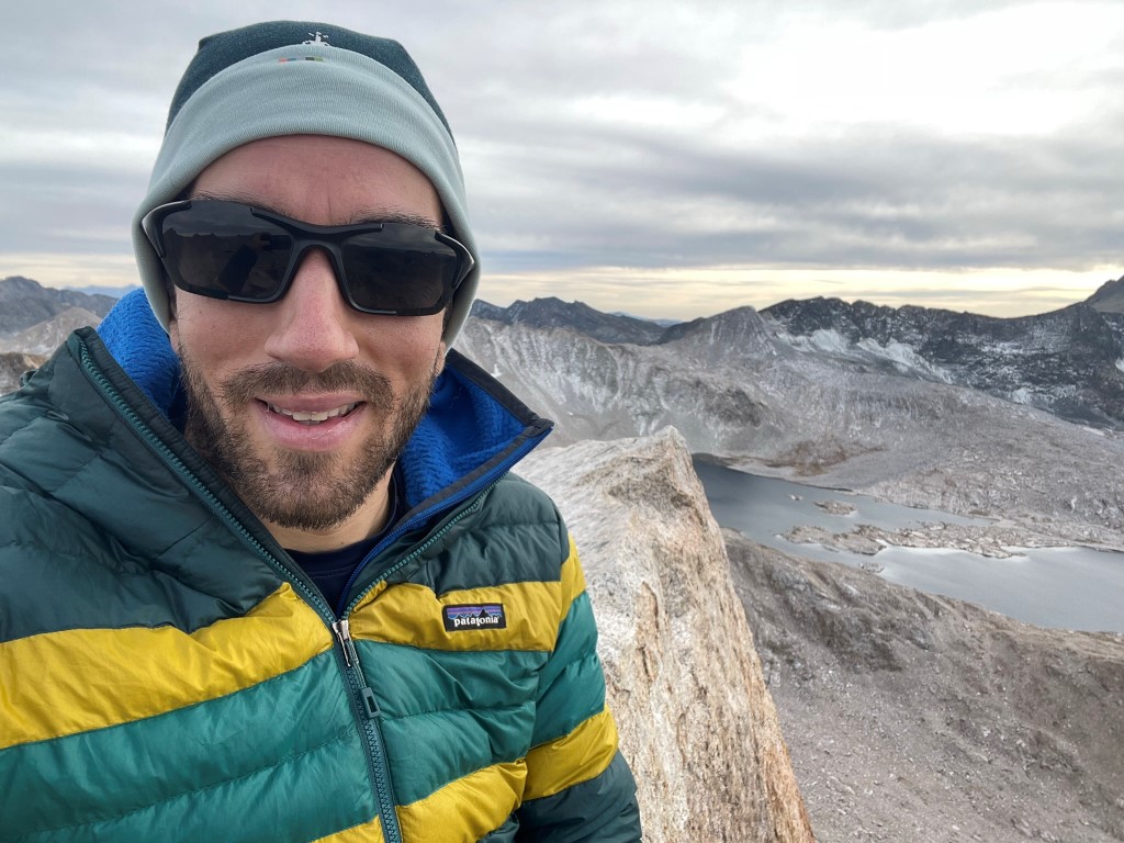
I signed the register which had been placed in 2017. It was most recently signed on September 27 by my friend Lindsey. I had excellent views despite a thin cloud layer that had developed in the afternoon. Mount Goddard, my primary goal for the next day, was covered in a dusting of snow to the southwest.
To the north was Mount Mendel and Mount Darwin:
I descended a different chute than the one I came up. This one was south of the ascent chute and was steeper.
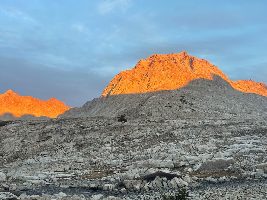
I reached my overnight gear at 15.6 miles. I caught a nice view of the fading sunlight catching the top of Mount Huxley.
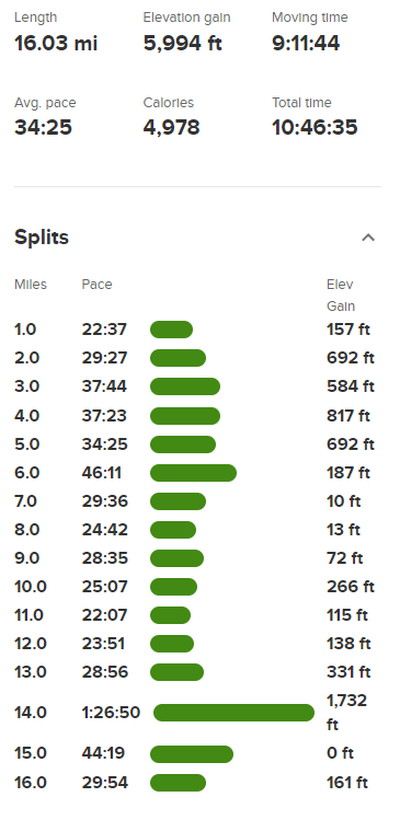
I hiked south for another mile before reaching Wanda Lake at 6:28pm just as it was getting dark. I set up camp and got to bed early. Stats for day 1 were approximately 16.7 miles, 6600 feet elevation gain, and 11 hours 8 minutes total time. My GPS randomly shut off during the hike, so the totals below are missing about 0.7 miles and 600 feet of elevation gain.
Day 2
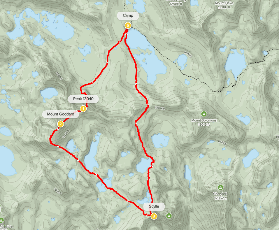
For day 2 my plan was to climb Mount Goddard (13568 feet) via Starrs Route and Scylla (12956 feet) via the northwest slope. I woke up covered in frost and had a difficult time getting out of my warm sleeping bag. I began hiking at 6:05am from 11441 feet above sea level. I hiked southwest from Wanda Lake in the dark for about 30-40 minutes. I did a slightly downhill traverse across a talus slope as I neared Mount Goddard.
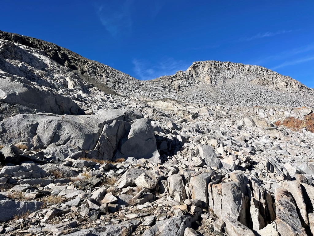
I hiked around the foot of a ridge coming north off of Peak 13040. I then entered a broad chute just west of the ridge.
I climbed up a few hundred feet and then traversed east onto the ridge.
From there I climbed the ridge to Peak 13040. There were a few class 3 moves on solid rock I had to make. This was made slightly more interesting by the presence of snow patches along the route.
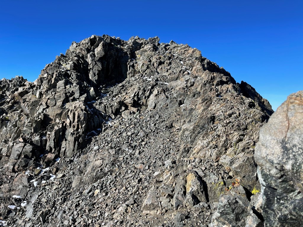
I reached the summit of Peak 13040 at 8:25am at 2.2 miles. Mount Goddard was about a half mile away to the southwest.
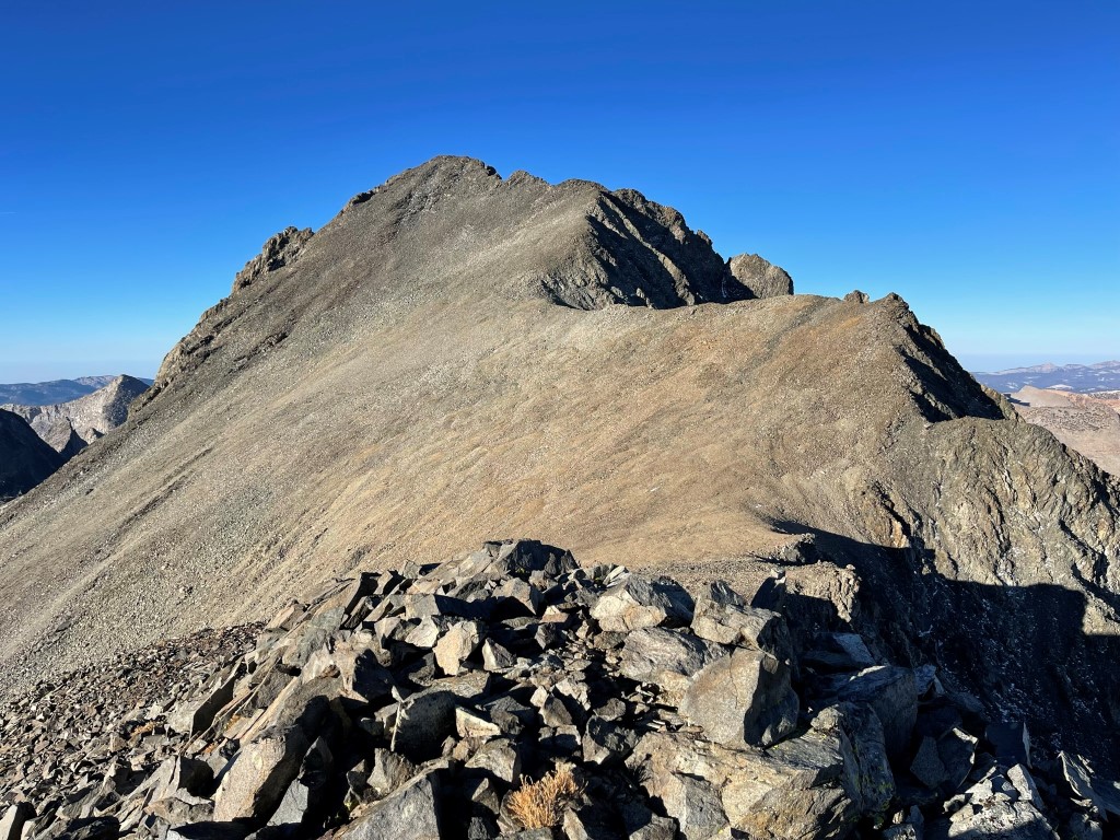
I descended about 150 feet to a saddle and then climbed up the easy class 1 slope from there.
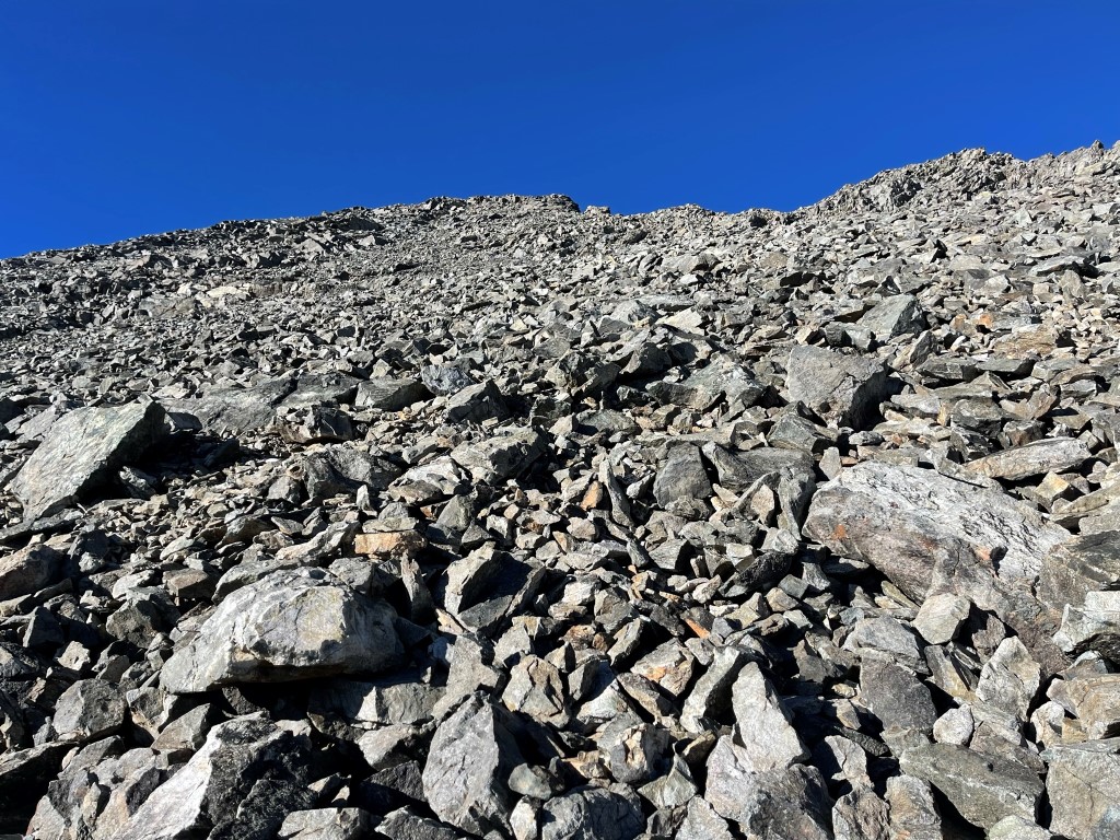
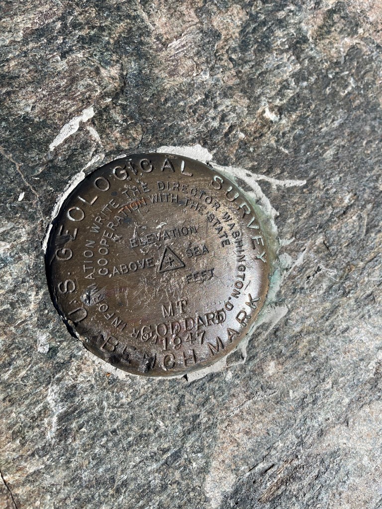
I reached the summit at 9:10am at 2.8 miles! I located the register which had been placed in 2019. The most recent entry was from August 27. Unfortunately, there was no pen, so I was unable to sign it. I also located a USGS benchmark.
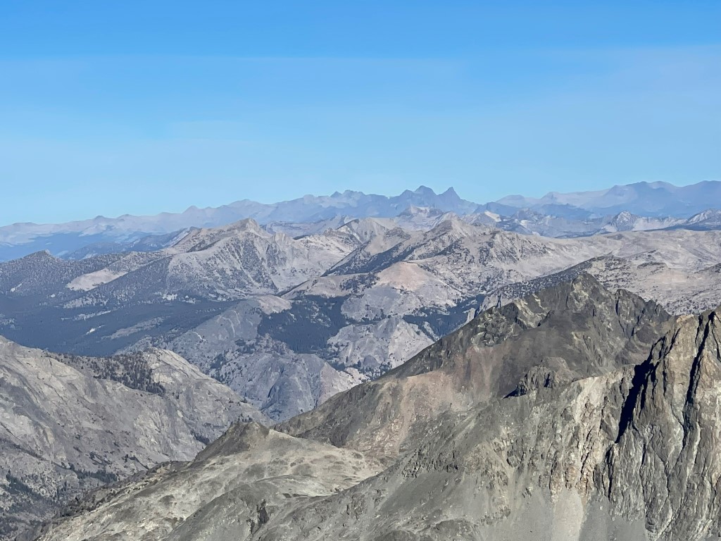
The views were excellent on this perfectly clear day. To the northwest I could see Mount Lyell and Mount Ritter.
To the north was Mount Hilgard, Mount Gabb, Mount Abbott, Bear Creek Spire, and Mount Morgan.

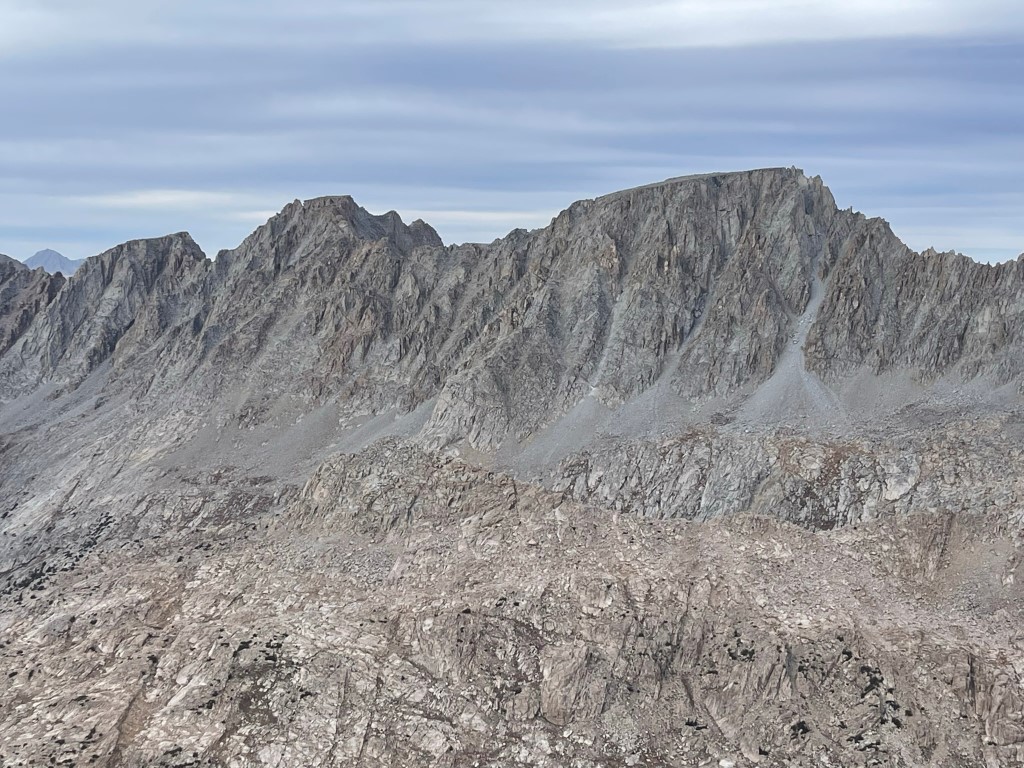
To the east was Mount Mendel and Mount Darwin.
After a short break I made the quick traverse over to Goddard’s west summit (13560 feet).
I then descended the southwest slope, which was also straightforward class 1. There was even a vague use trail at times.
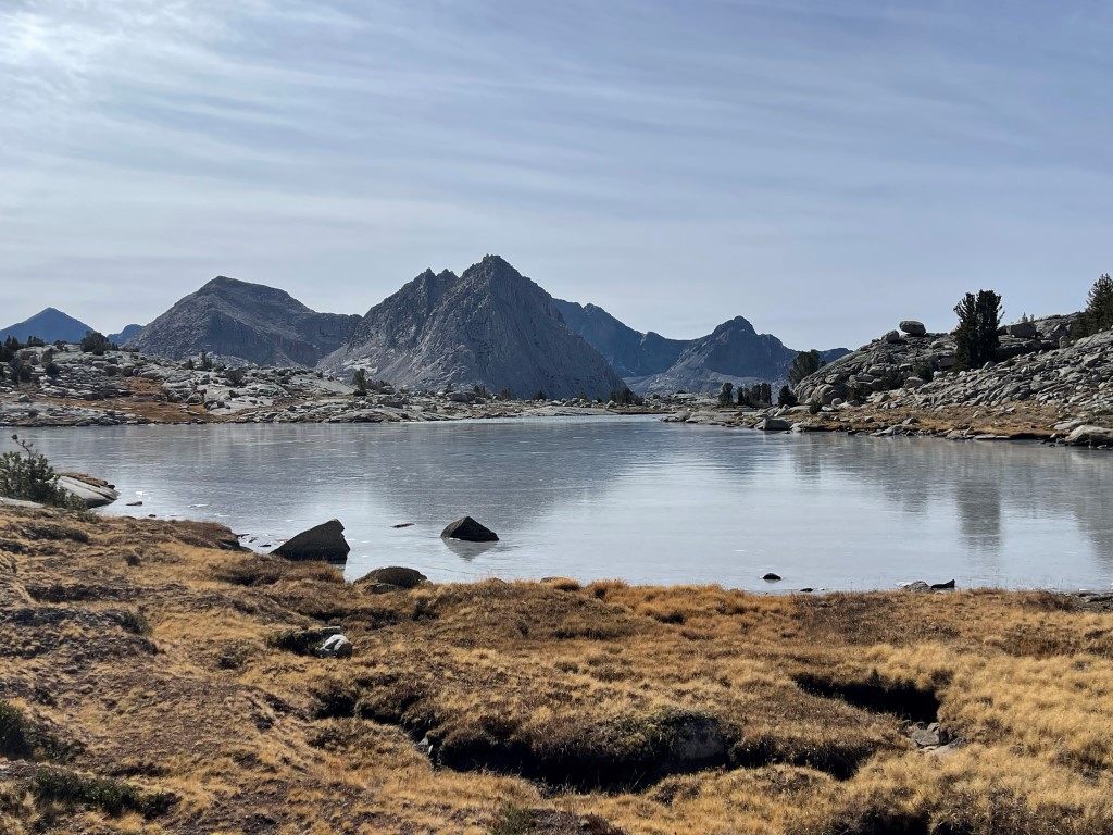
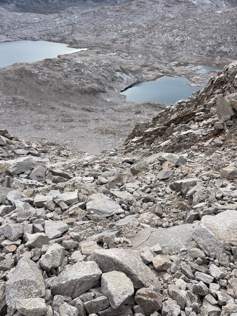
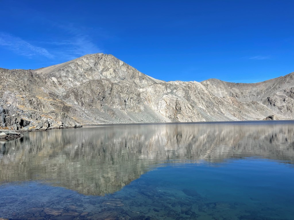
I curved around to the southeast and approached an unnamed lake at about 12200 feet.
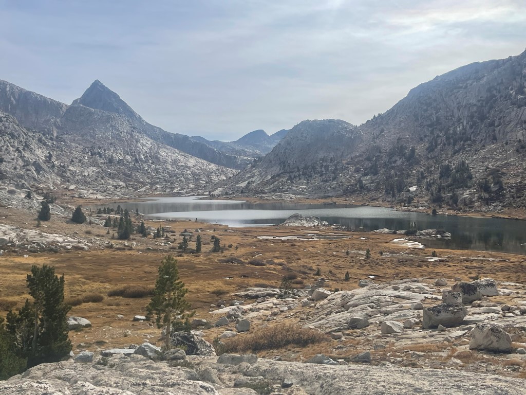
I passed the first lake and then continued descending to Lake 11951.
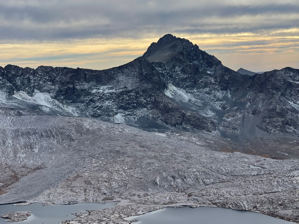
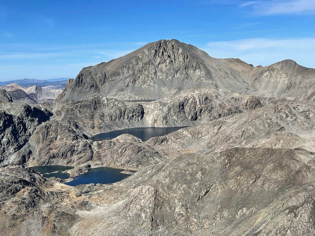
I reached the far side of the lake and turned around to admire the view of Mount Goddard.
I proceeded to Lake 11818, which was divided into 2 sections by a small land bridge in the middle.
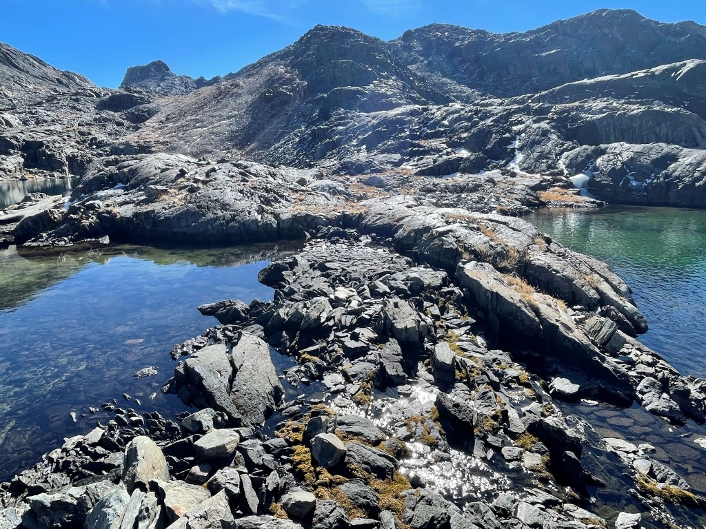
I continued southeast past Lake 11818 and reached the base of Scylla.
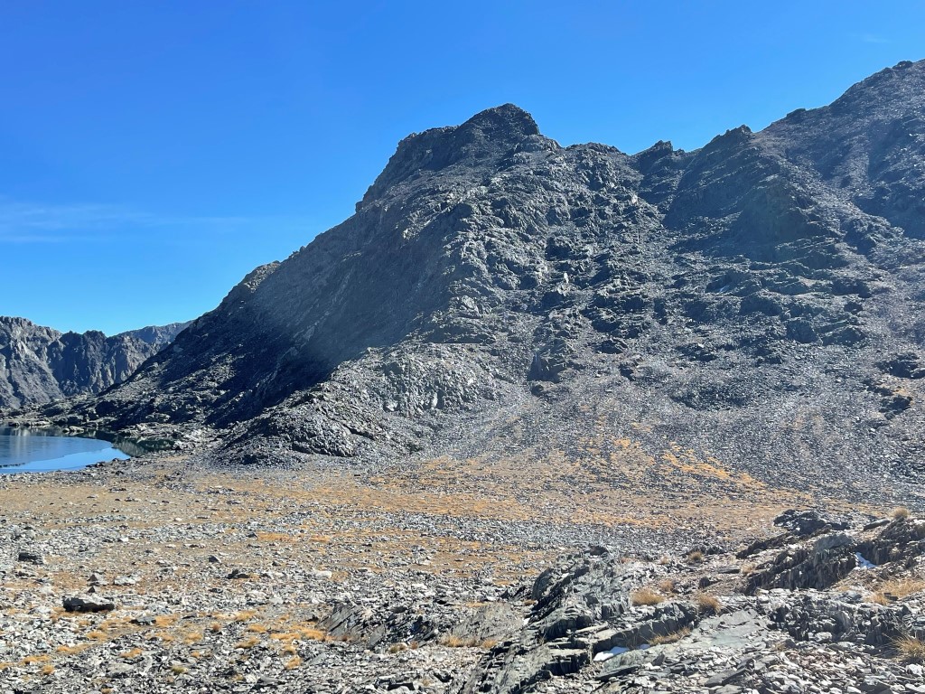
I climbed up the northwest slope of Scylla, which was easy class 2.
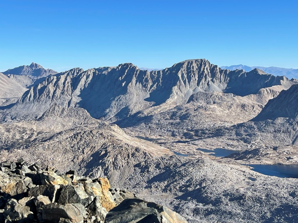
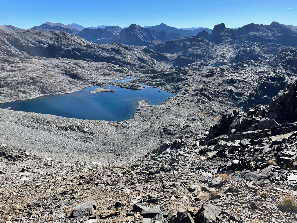
I reached the summit at 12:20pm at 6 miles! I signed the register which had been placed in 1990. The most recent entry was from September 25. To the northwest I had an outstanding view of Mount Goddard and the 3 lakes I had just hiked past.
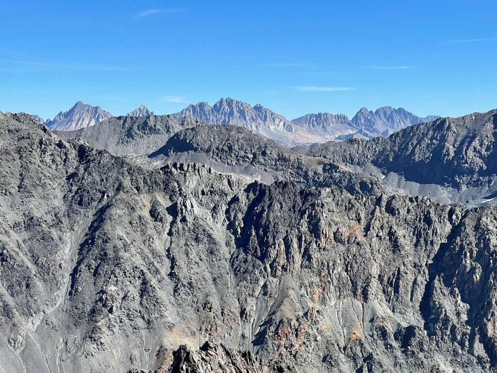
To the east I could see Mount Agassiz, Mount Winchell, North Palisade, Palisade Crest, and Middle Palisade:
I took a short break and then descended. My descent route was slightly east of the route I had climbed up. The northwest side of Scylla is fairly gentle so there are numerous routes one could take.

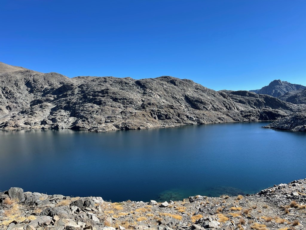
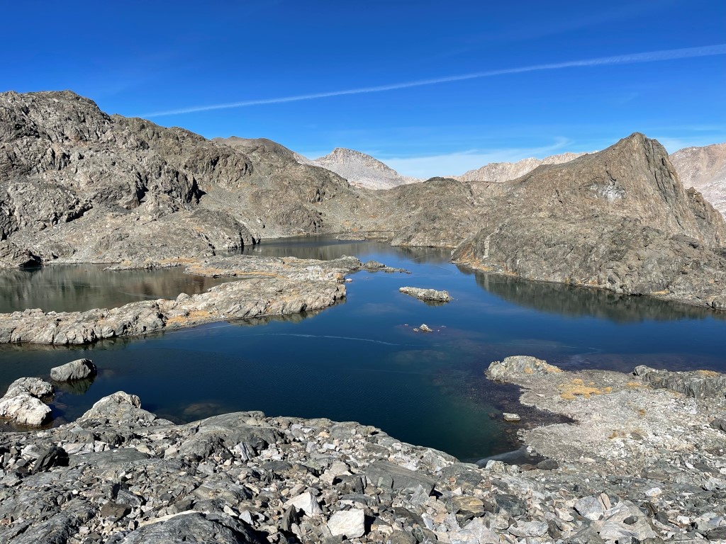
I reached an unnamed lake at just over 12000 feet and hiked around its eastern shore.
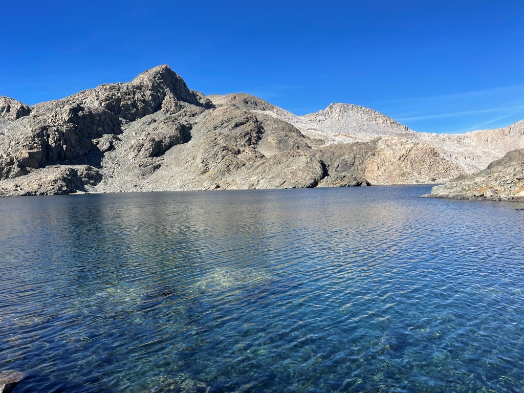
I proceeded north past the lake and then reached Lake 11837.
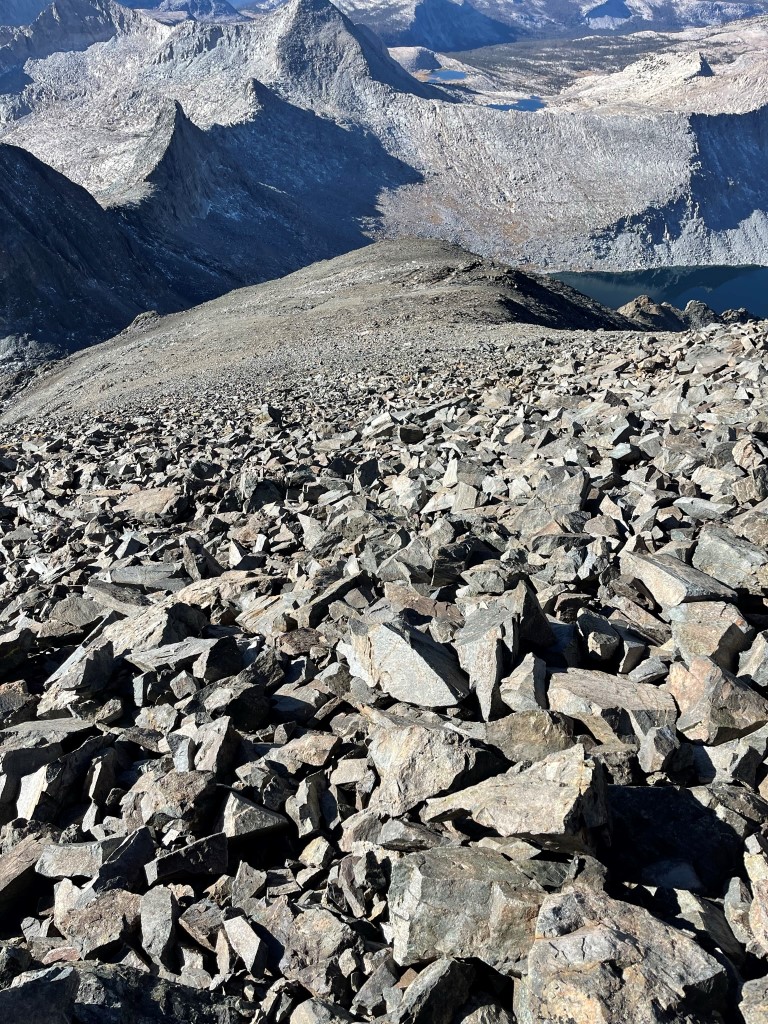
From there I made a long gradual ascent to the Goddard Divide, which I needed to cross in order to return to Wanda Lake.
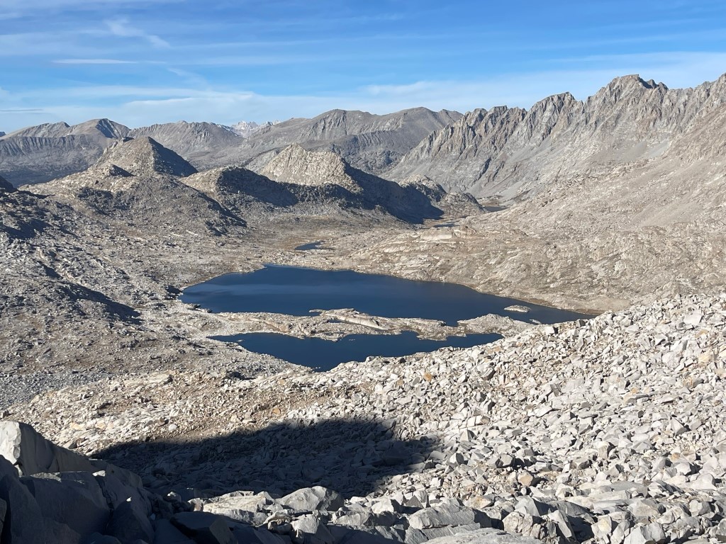
I reached the Goddard Divide at 8.6 miles at just over 12400 feet. I could see Wanda Lake down below, with my campsite located on the far side.
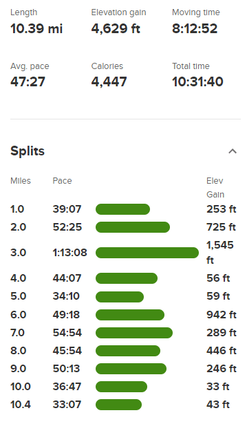
I descended from the divide, hiked north along the western shore of the lake, and reached camp around 4:30pm. Stats for day 2 were 10.39 miles, 4629 feet elevation gain, and 10:31:40 total time.
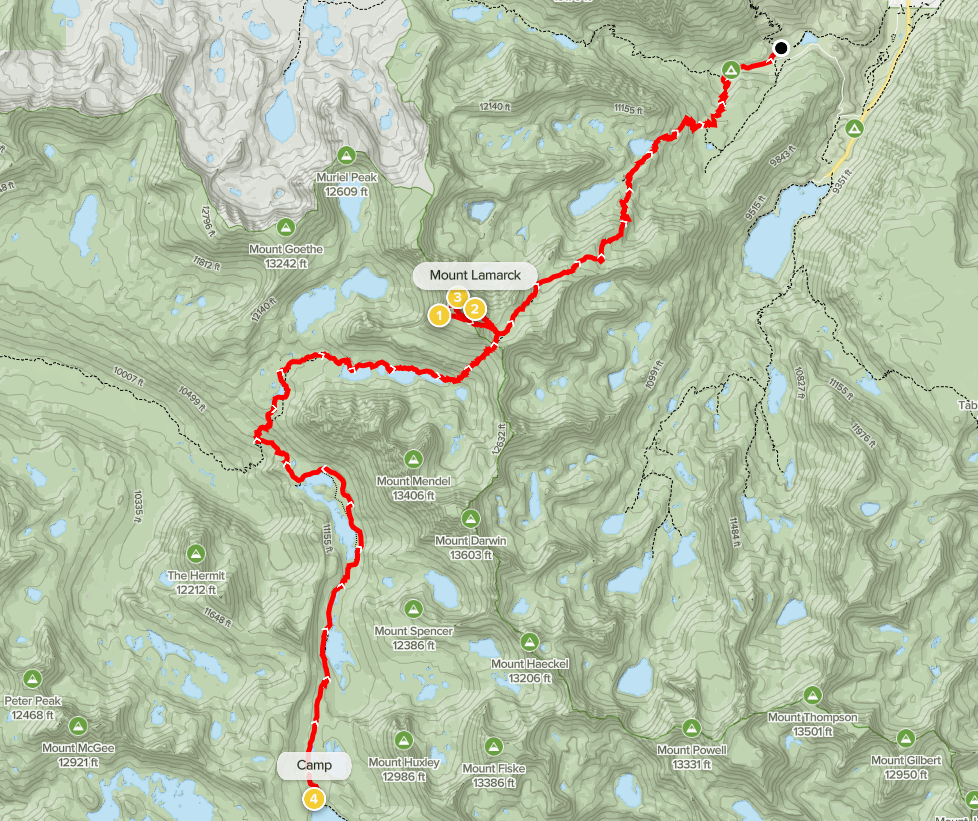
Day 3
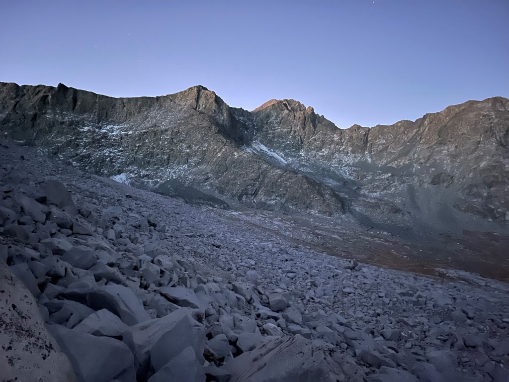
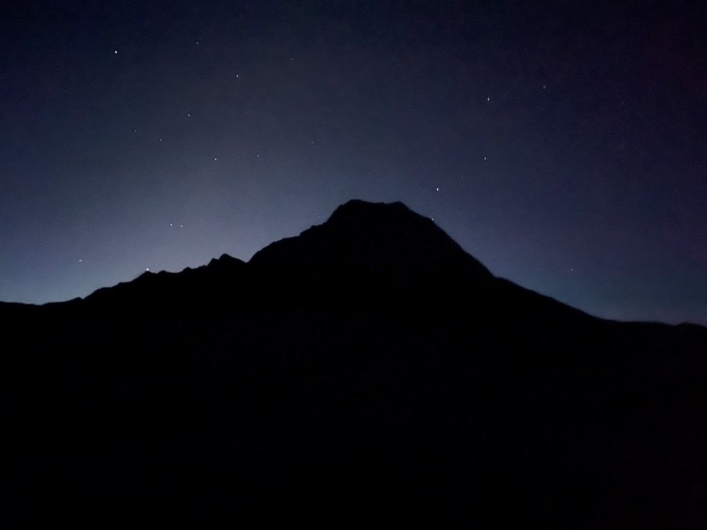
For day 3 my plan was to reverse my route from day 1 and also hopefully climb Mount Lamarck along the way. I began hiking in the dark at 5:41am from 11441 feet above sea level. I got a cool picture of the silhouette of Mount Huxley with the first glow of dawn behind it as I passed Sapphire Lake.
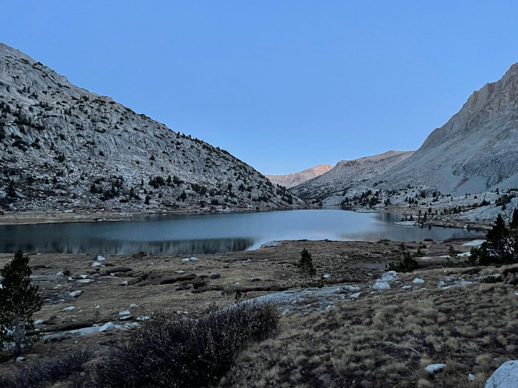
I reached Evolution Lake just as it got light enough to turn off my headlamp.
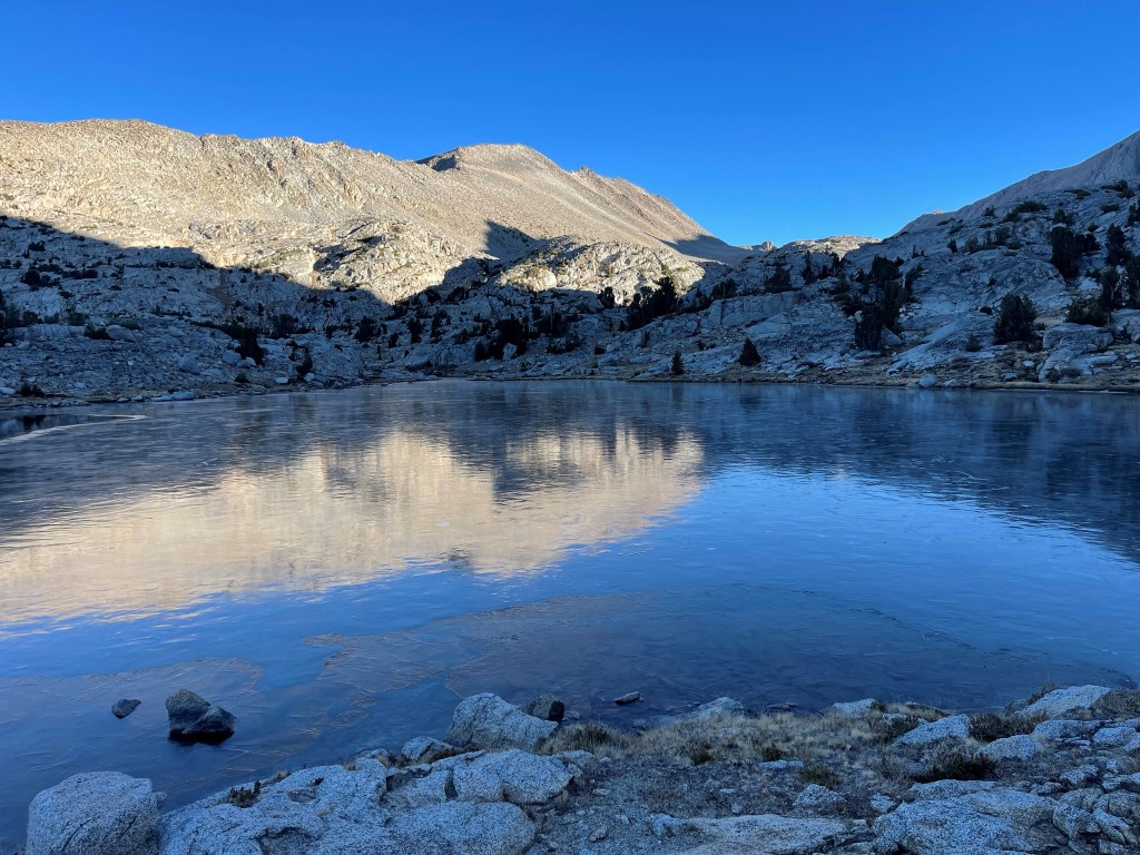
I left the JMT/PCT at 4.6 miles and got on the trail to Lamarck Col. I proceeded north past the small lake southwest of Darwin Canyon. The lake was still frozen in the early morning.
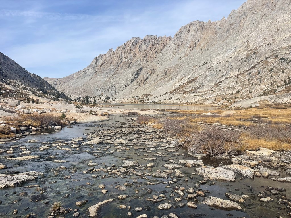
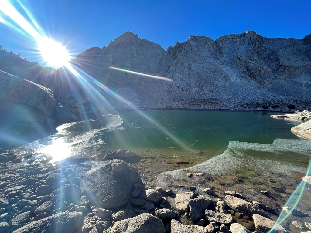
I turned east as I entered Darwin Canyon. I reached Lake 11592 and took a short break to get some water. I had to use a rock to break the ice on the surface.
I hiked east past the rest of the lakes, all of which were partially frozen.
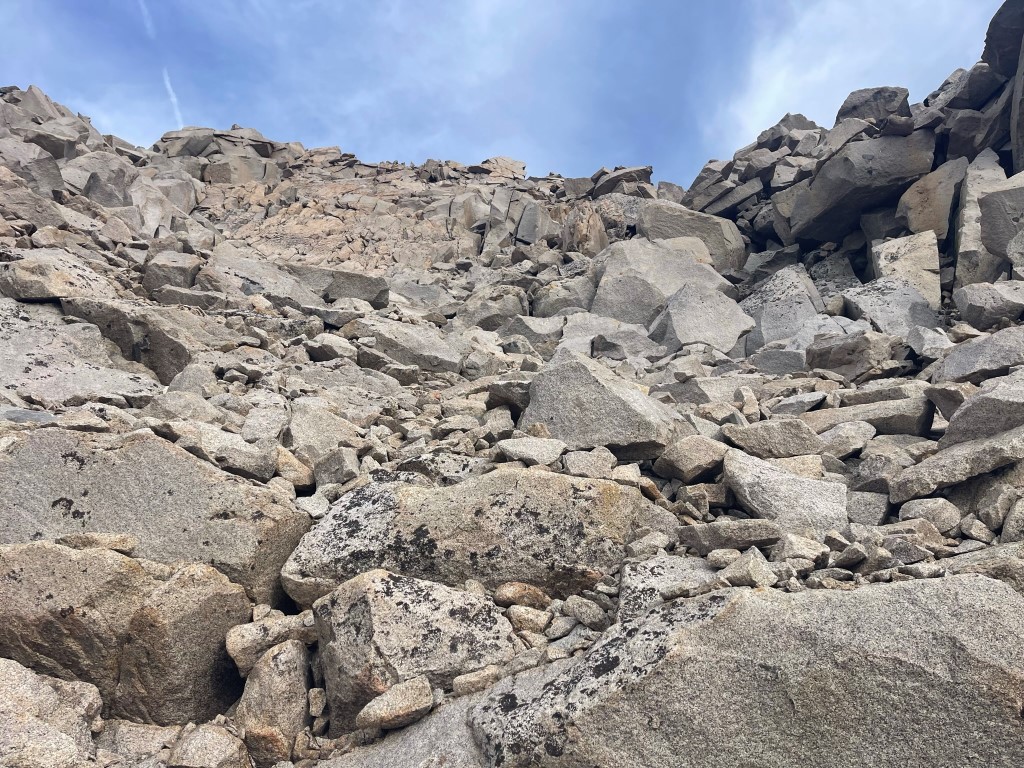
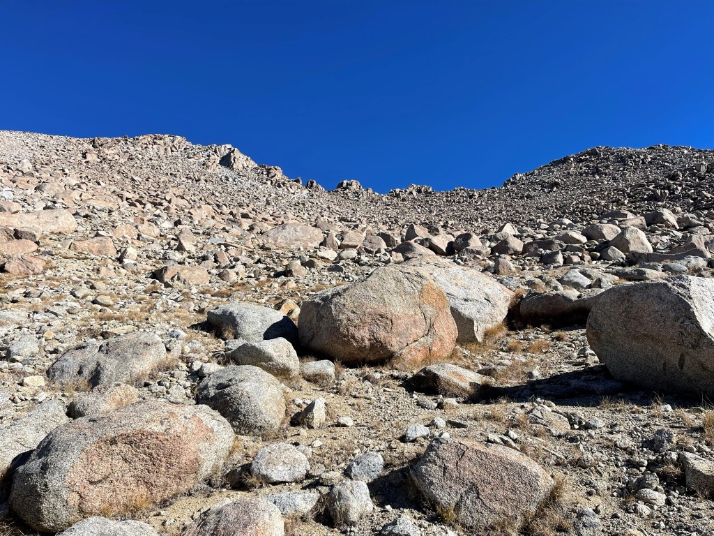
I passed the final lake and then turned northeast to climb up to Lamarck Col. This involved about a 1300 foot climb up a steep talus slope with my overnight gear on my back.
I reached Lamarck Col at 8.7 miles.
I descended about 200 feet down the other side of the col to the dry tarn. I dropped my overnight gear and turned west towards Mount Lamarck (13417 feet), which would require about 700 feet of climbing to reach.
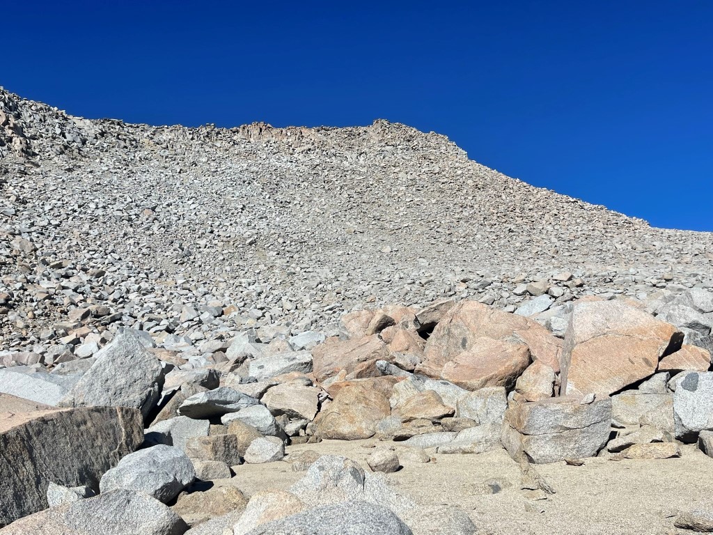
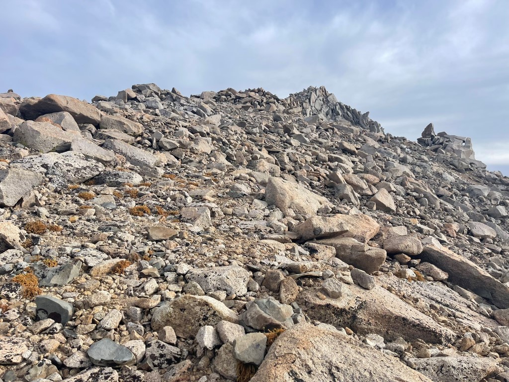
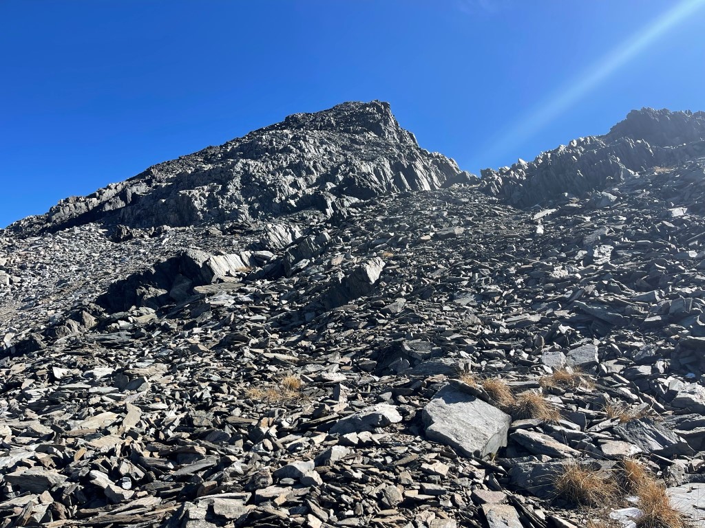
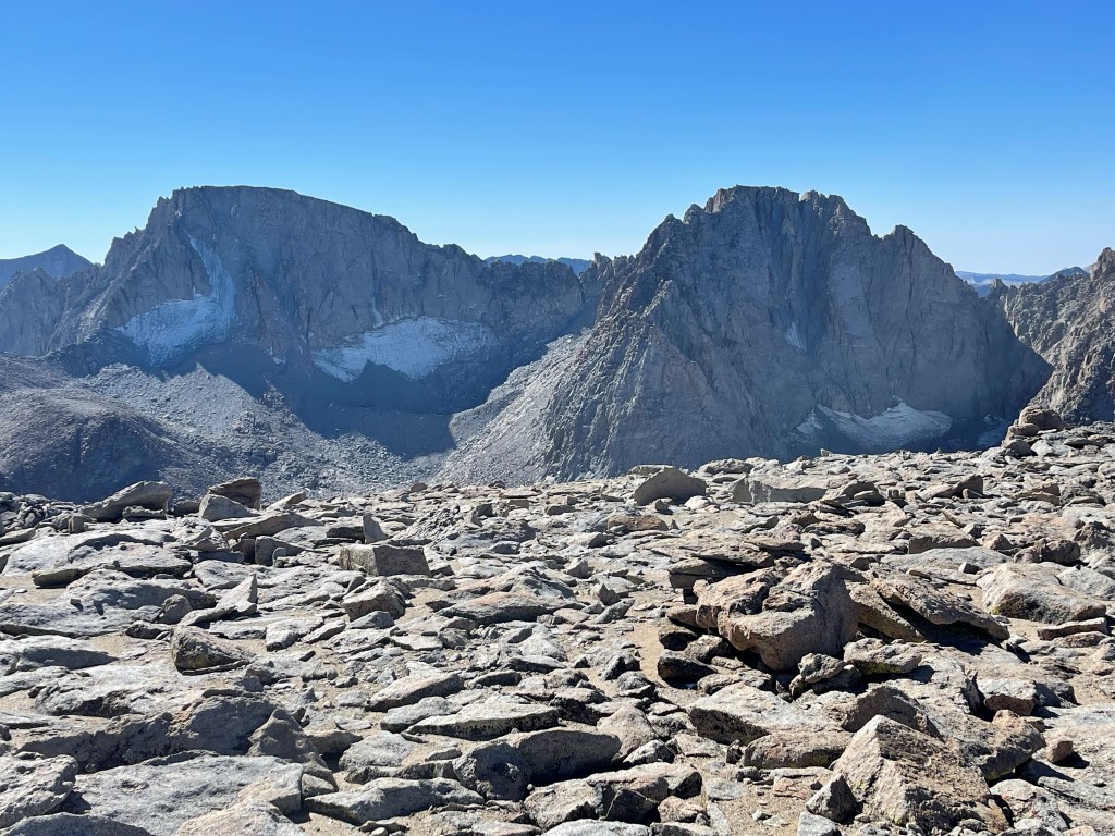
I climbed up the rocky slope which was easy class 2. I reached the summit at 11:38am at 9.2 miles! I signed the register which had been placed in 2017. The most recent entry was from September 30. I had an excellent view of Mount Darwin and Mount Mendel to the south:
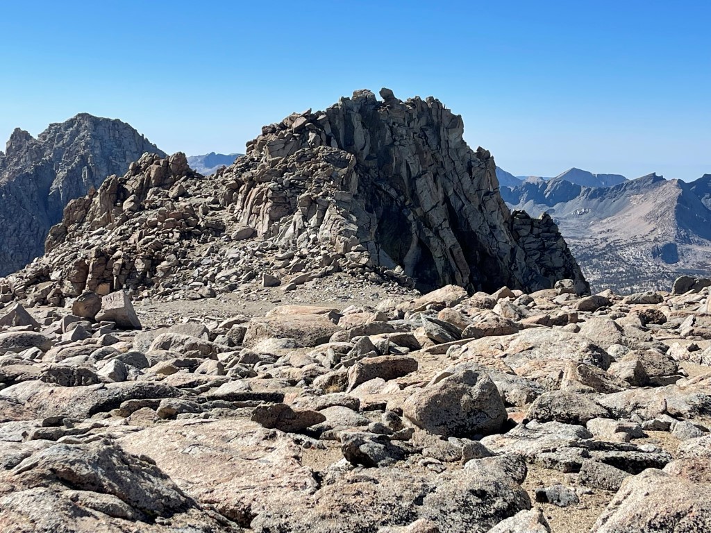
I decided to also climb the north summit (13464 feet) and the west summit (13320 feet) of Mount Lamarck before descending. The north summit was easy to reach via a gradual rocky slope.
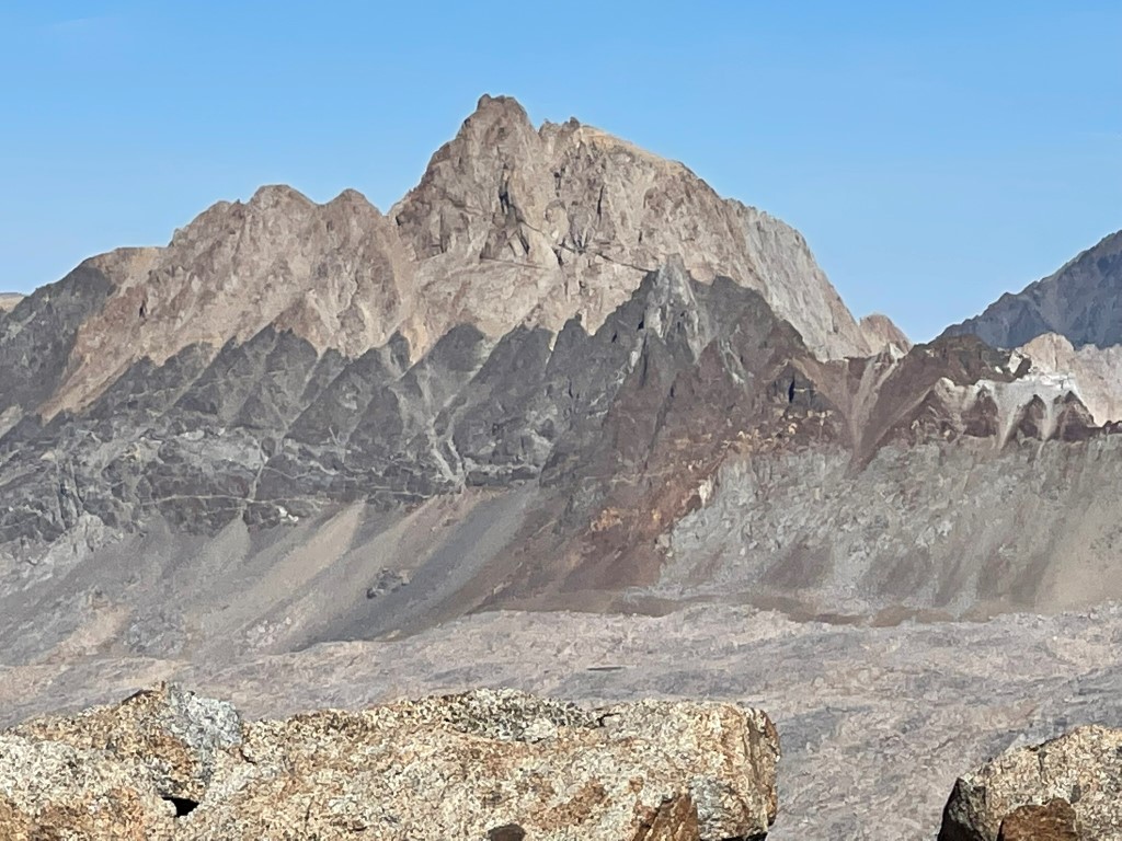
I reached the north summit at 11:58am at 9.6 miles. The north summit is actually higher than Mount Lamarck itself, which didn’t really make sense to me. I had a stunning view of Mount Humphreys directly north:
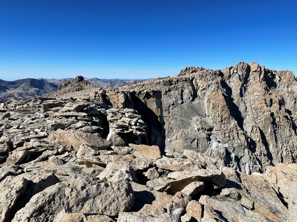
I then proceeded to the west summit, which had the most interesting summit block of the 3.
I reached the west summit at 12:14pm at 9.9 miles. I had a really nice view of Darwin Canyon and the 4 lakes I had just hiked past.
I then descended back towards the col and reached my backpack at 10.6 miles. From there it was 5.7 miles back to the trailhead, which I reached at 3:15pm. Stats for day 3 were 16.31 miles, 3343 feet elevation gain, and 9:33:51 total time.