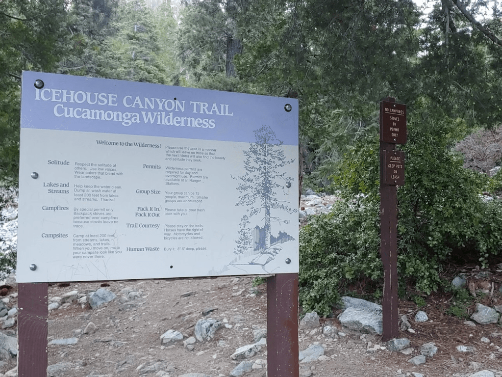
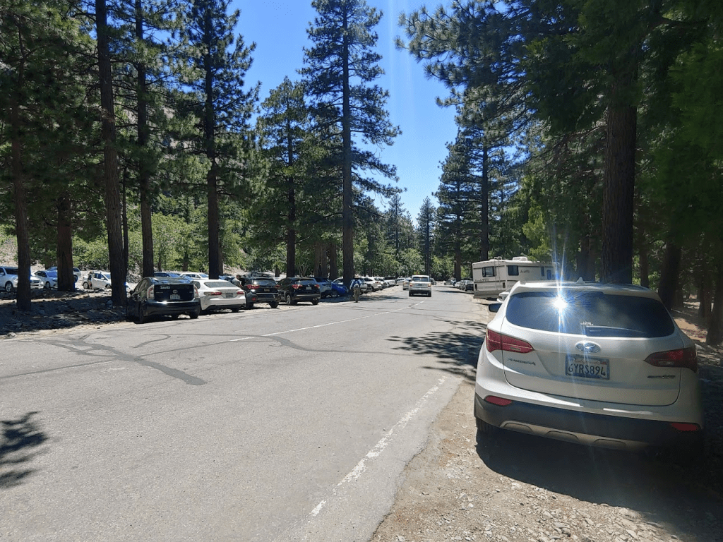
It had been 2 weeks since my last hike, so I was ready for another challenging day hike. It was the 2nd longest day of the year, and the forecast was calling for beautiful June weather, so I laid out a pretty ambitious plan for myself. My plan was to climb 3 peaks in the San Gabriel Mountains known as the Three T’s: Timber Mountain (8303 feet), Telegraph Peak (8985 feet), and Thunder Mountain (8587 feet). These 3 peaks are on the Sierra Club Hundred Peaks Section (HPS) list and are usually accessed from the very popular Icehouse Canyon Trailhead. The Icehouse Canyon Trail starts from around 5000 feet and climbs to around 7500 feet in just under 4 miles to Icehouse Saddle. From the saddle, I intended to hike the Three T’s trail to each of the peaks and then hike down to the popular ski area known as Baldy Notch. I would have 2 choices once I reached the Notch – Option 1 was to simply hike down the access road to Manker Flats and then a few miles on paved road to the trailhead. Option 2 was to continue to a 4th HPS peak known as Mount Harwood (9552 feet) and then descend to Manker Flats from there. Option 2 would add 2-3 miles, so my plan was to assess how my legs felt once I reached the Notch and decide then. I woke up even earlier than I typically do at 3:30am and hit the road at 4. Icehouse Canyon is one of the most popular trailheads in Southern California, so I was hoping to get there early enough to find a good parking spot. It took me about 2 hours to make the drive to the trailhead. Unfortunately, it was already a zoo when I arrived just after 6. The large parking lot was full and there was already a line of cars parked along the side of the road. I ended up parking about a ¼ mile down the road from the trailhead. I started hiking at 6:08am from 4796 feet.
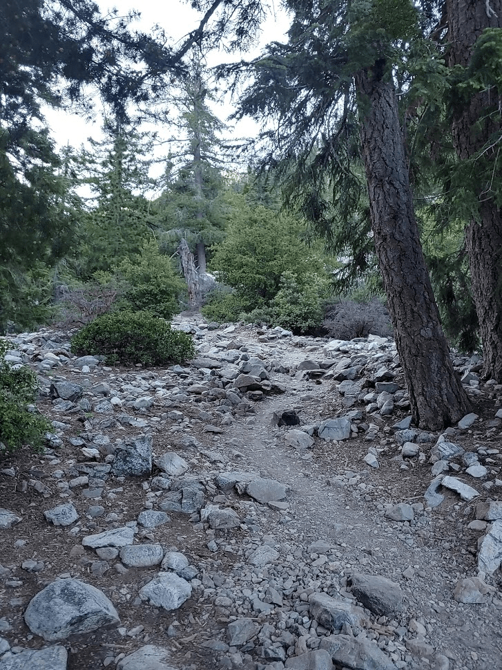
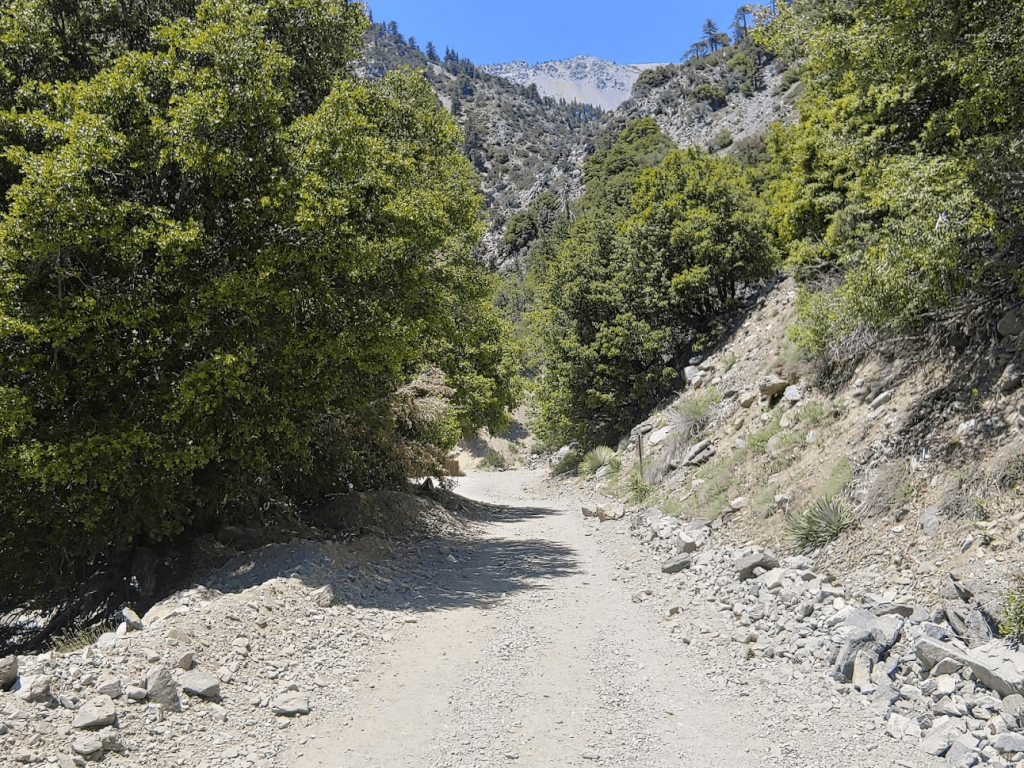
I walked up the road, through the parking lot and onto the trail. I really don’t like hiking on crowded trails, so I was questioning my decision to start from such a popular trailhead on a Saturday in the middle of summer. The trail begins by climbing steadily through Icehouse Canyon. The Canyon walls provided shade at this time of day which felt nice, especially since I knew I’d be exposed to the sun for most of the day. The trail is well groomed but only wide enough for one hiker, so it was annoying having to pass people from behind. At 1.92 miles I passed the sign indicating I was in the Cucamonga Wilderness.
I had probably passed at least 30 people up to this point. Most groups were either single hikers or pairs, but there were a few larger groups that were annoying to get around. Once I passed the 2 mile mark, the crowds had started to thin out already.
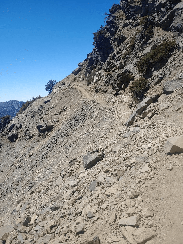
The final mile of the Icehouse Canyon trail gets much steeper as it switchbacks a few times up to the saddle.

At 3.94 miles I reached the saddle at 7560 feet. It had taken me only 1 hour 20 minutes to climb over 2500 feet. I was impressed with my speed and how good my legs were feeling so far. There were a number of groups hanging out at the saddle, including a few emerging from tents. There are multiple trails leading in different directions from here, including to the popular summits of Cucamonga Peak (which I climbed 2 summers ago) and Ontario Peak (last summer). I turned north and started hiking up the Three T’s trail.
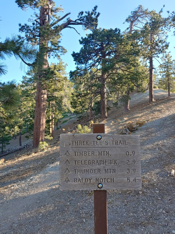
Once on the Three T’s trail there weren’t nearly as many hikers, but I still passed a few groups on the way to Timber Mountain.
At 4.6 miles I reached the turnoff for Timber.
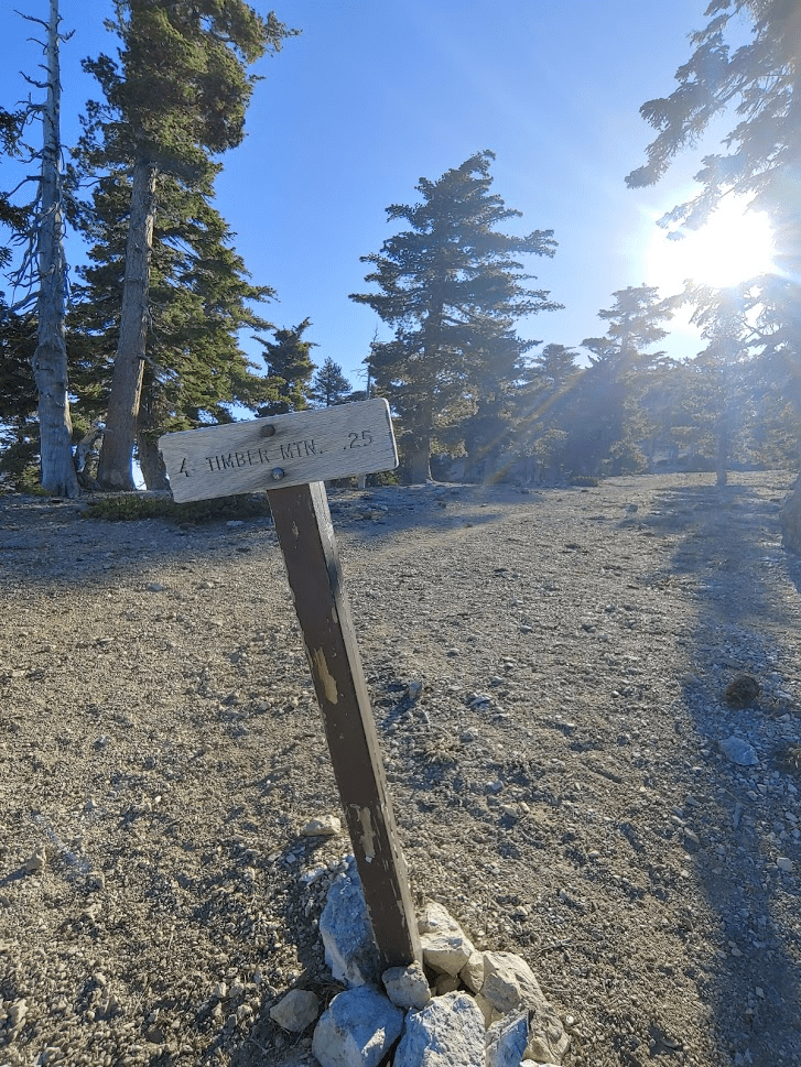
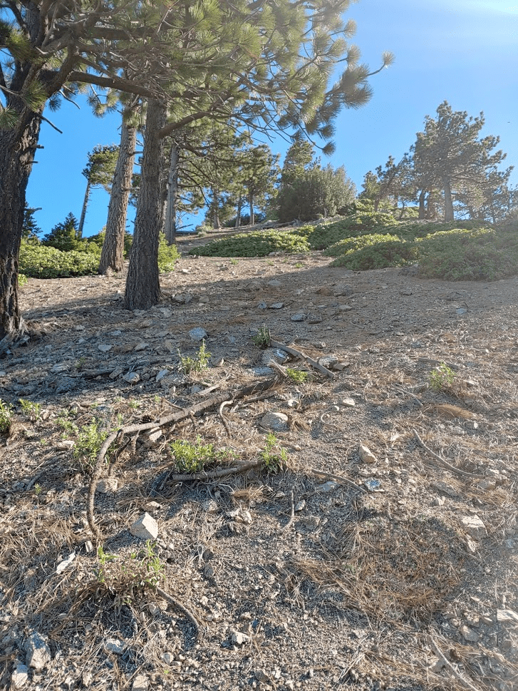
The spur trail to Timber was short and steep. At 4.84 miles I reached the summit at 7:55am.
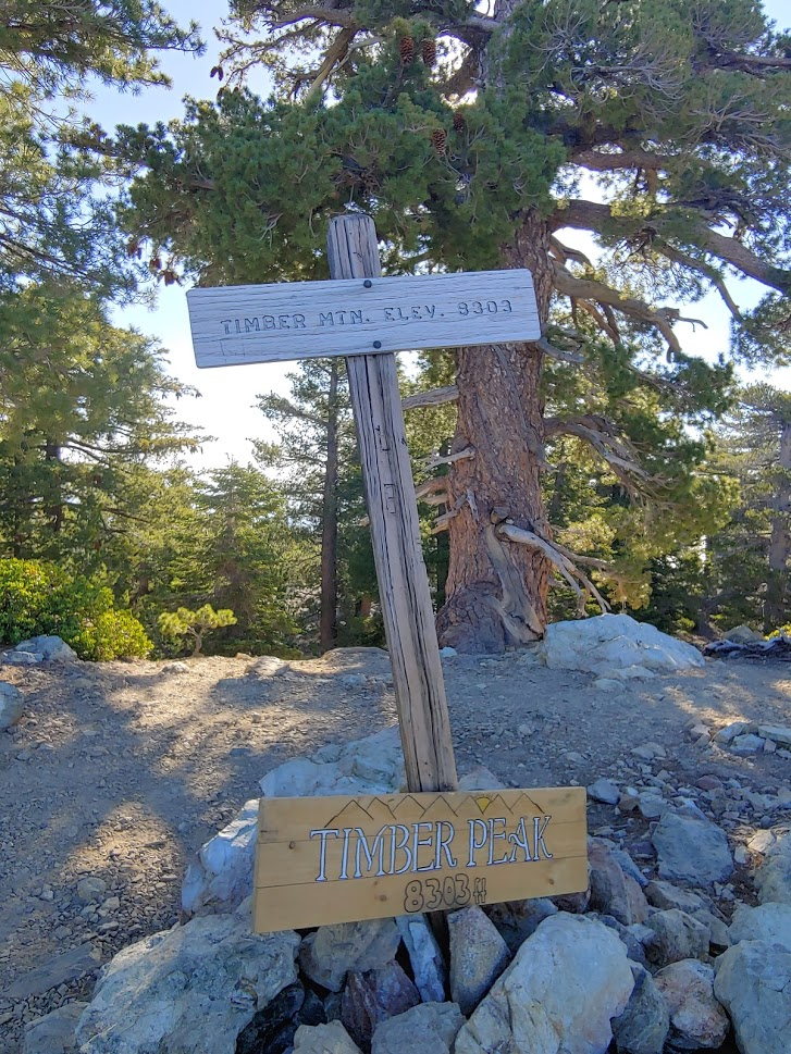
There are no survey markers on the summit, and I did not locate a register. The views were mostly obscured by trees, but I did catch a quick glimpse of Telegraph Peak and Mount Baldy in the distance.
Rather than hike back down the spur trail, I cut cross-country northwest in an effort to shave a little distance off my hike.
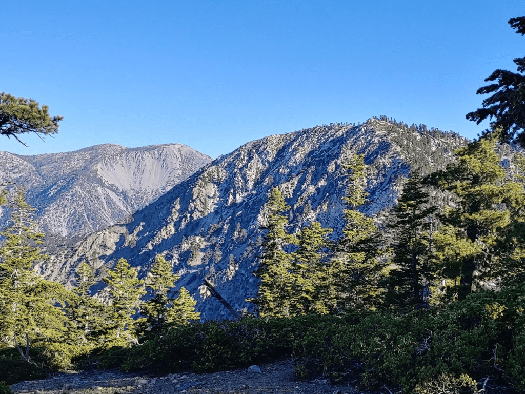
I soon was on the Three T’s trail again. At 5.11 miles I reached the saddle between Timber and Telegraph at 7717 feet. There was a nice view here.
Shortly after crossing the saddle, I decided to head straight up the slope to a minor Peakbagger peak known as Smetana Hill (8023 feet). This would be the first of many minor peaks I would add to my hike today.
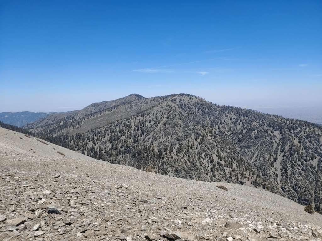
At 8:23am I was atop Smetana Hill. I had a nice view ahead to Telegraph Peak.
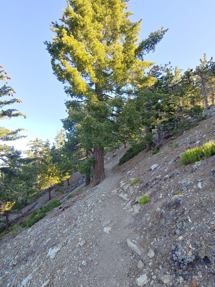
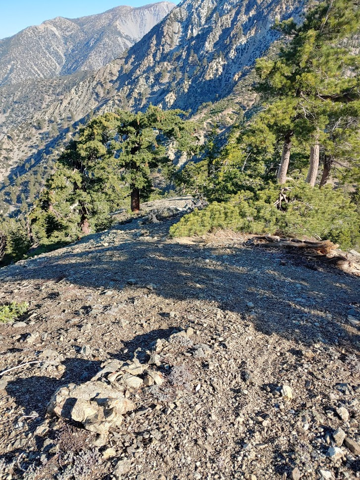
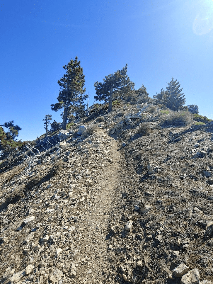
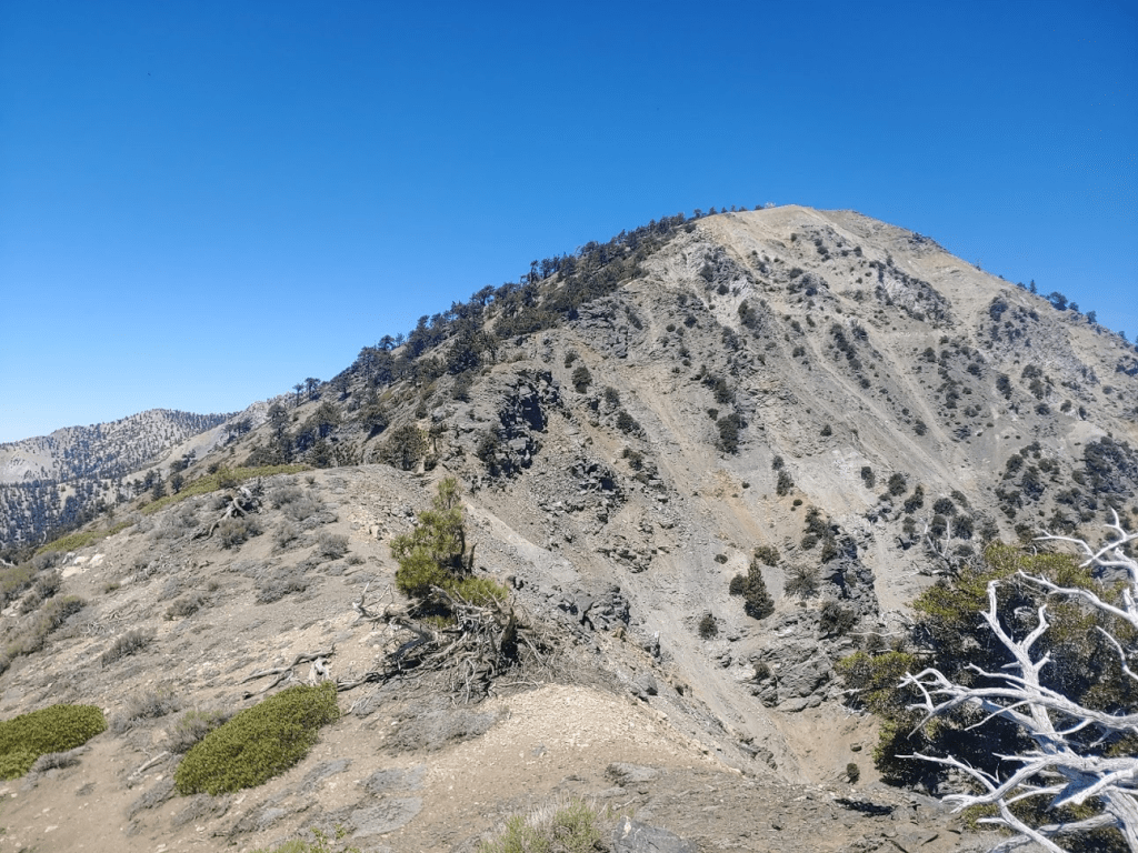
From Smetana I climbed back down to the trail and kept heading north. The next mile or so is fairly steep as the trail switchbacks many times up to Telegraph.

At the top of the switchbacks I left the trail again to climb another minor peak called Rees Point (8921 feet). Rees Point is only 64 feet lower than Telegraph Peak and is also known as Telegraph South. I was atop Rees Point at 9:05am at 6.73 miles.
I climbed back down to the trail and proceeded a short way to the turnoff for Telegraph Peak. The final approach to Telegraph was short and steep.
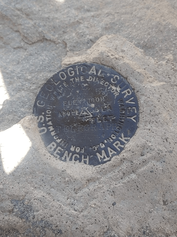
At 7.17 miles I reached the summit of Telegraph Peak at 9:19am!

There was an ammo container but only the mangled remains of a register were left. I found the benchmark and reference marker no. 1

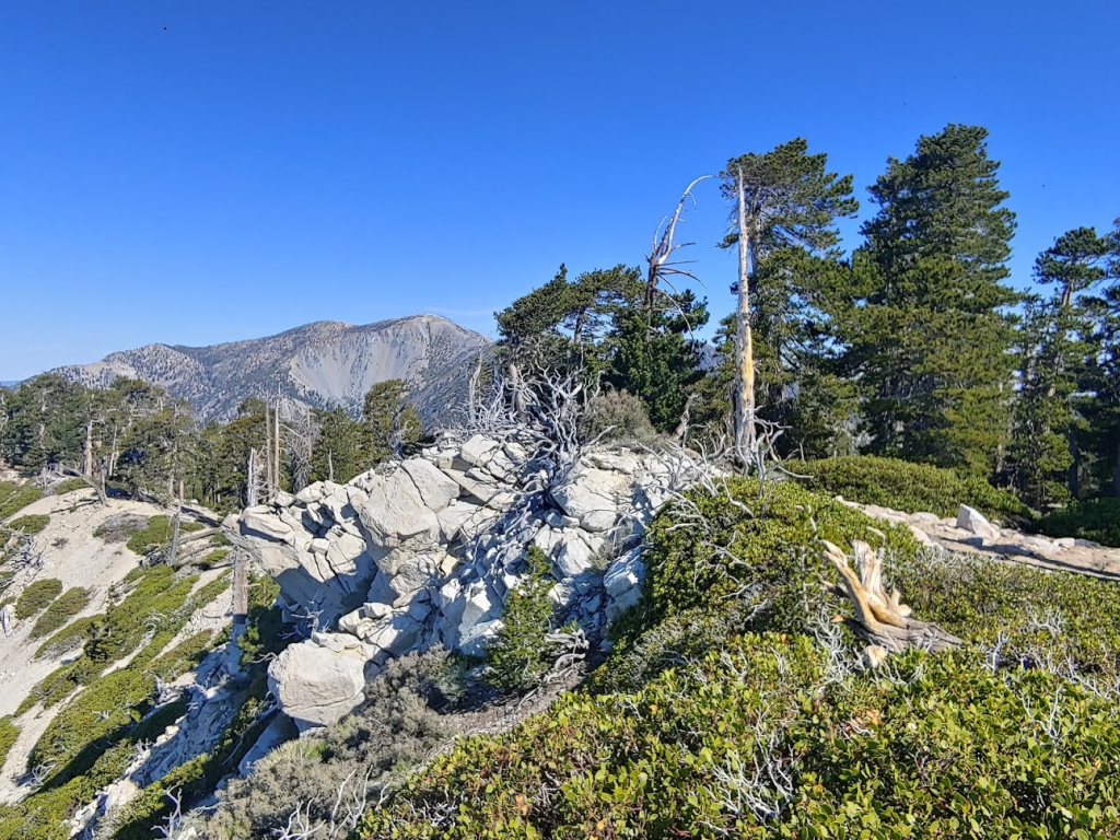
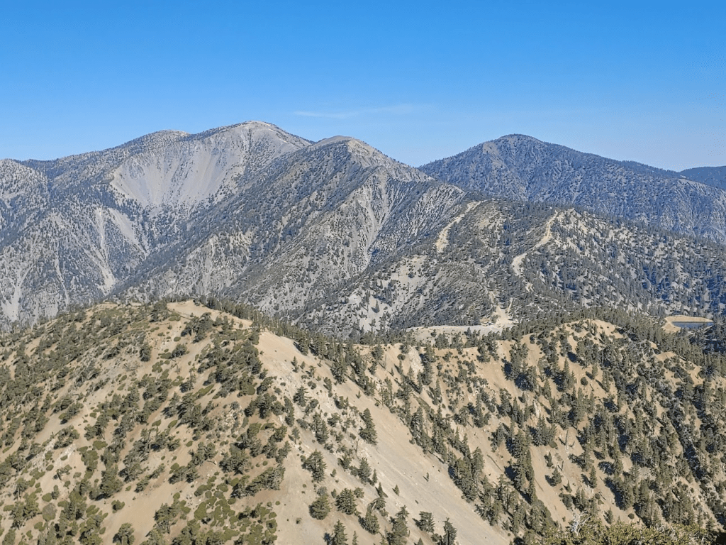
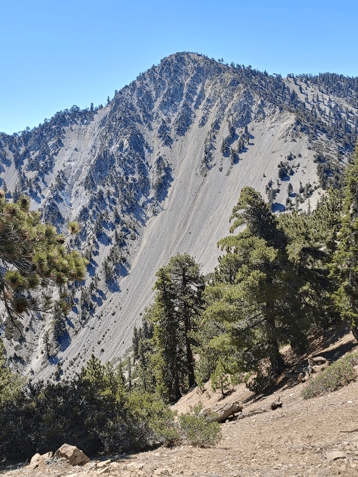
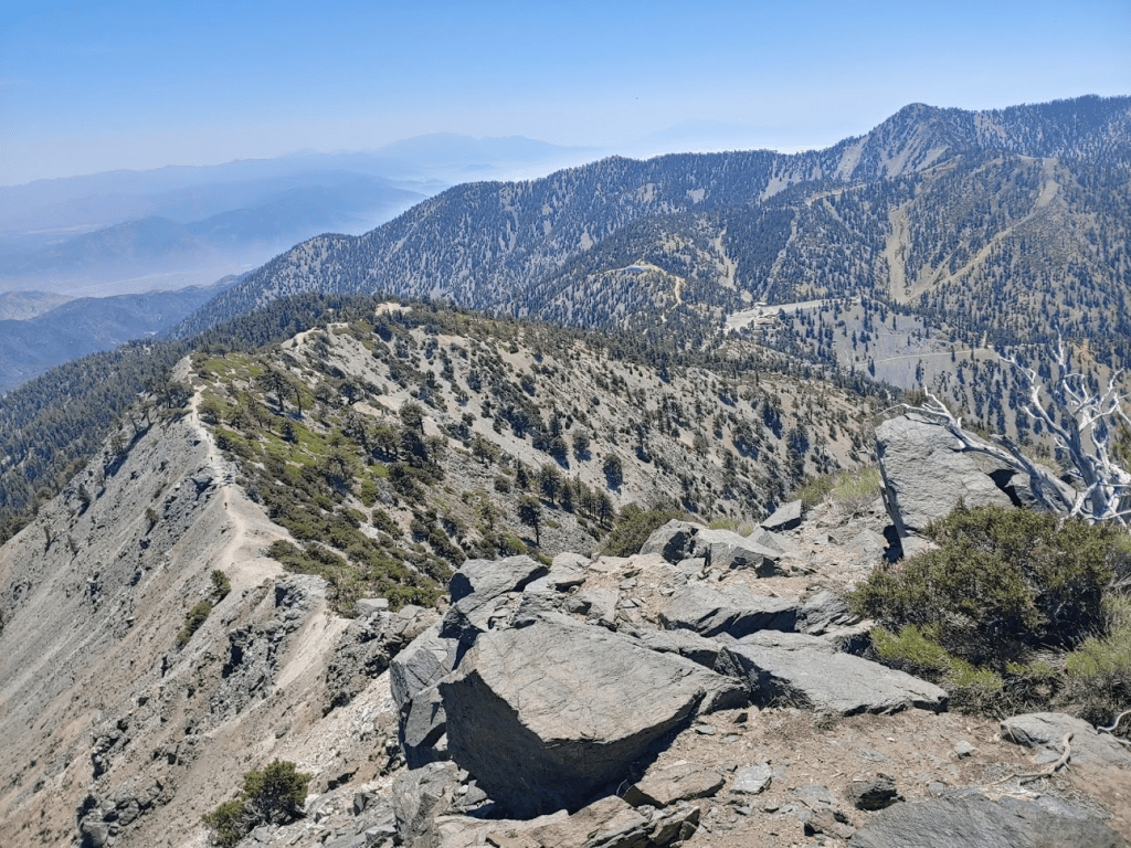
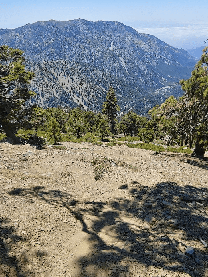
Telegraph Peak is the highest peak in the Cucamonga Wilderness and has over 1000 feet of prominence, so the views were outstanding. I had a great view of Mount Baldy, the highest peak in the San Gabriels (and LA County) at 10,064 feet. In the picture below, Baldy is the highest peak visible on the left. Mount Harwood is the subpeak to its right, and Dawson Peak is further to the right.
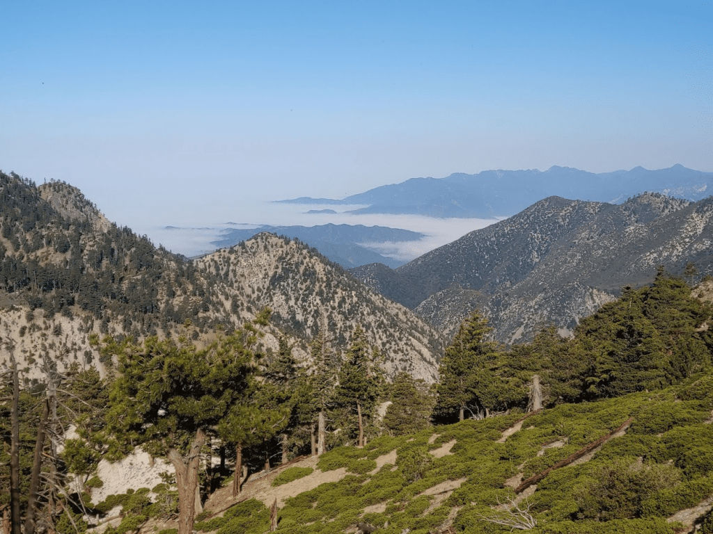
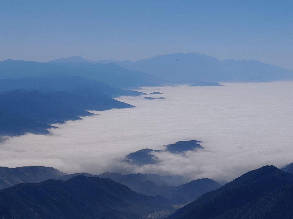
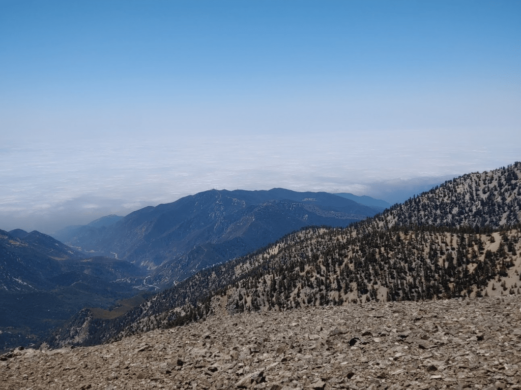
To the east I could see San Gorgonio and the rest of the San Bernardinos rising above the clouds.
Cucamonga Peak could be seen to the south. Santiago and Modjeska Peaks can be seen in the distance below.

I continued hiking after a short break. As I did on Timber, I opted to cut directly northwest back to the main trail rather than follow the spur trail back. The slope was steep and gravelly, so I was able to “surf” down portions of it.

At 7.51 miles I was back on the trail.

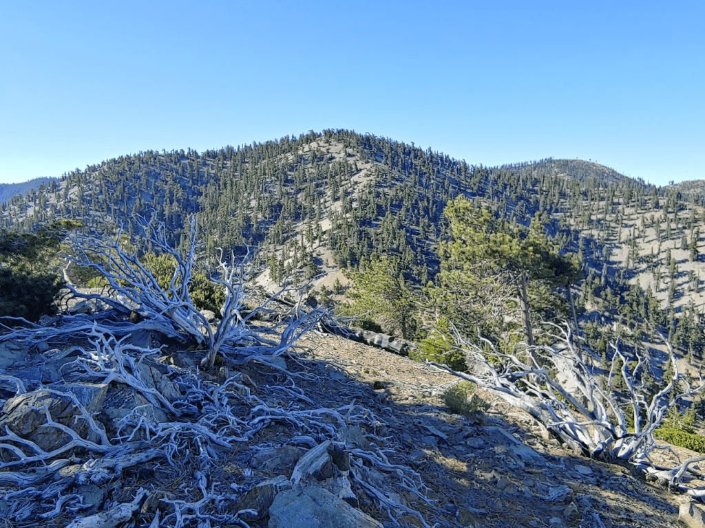
I didn’t have too much further to go to reach Thunder Mountain. The trail bends to the west and then makes a sharp turn to the east near the top. Some wooden fencing near the summit indicated this was a ski area.
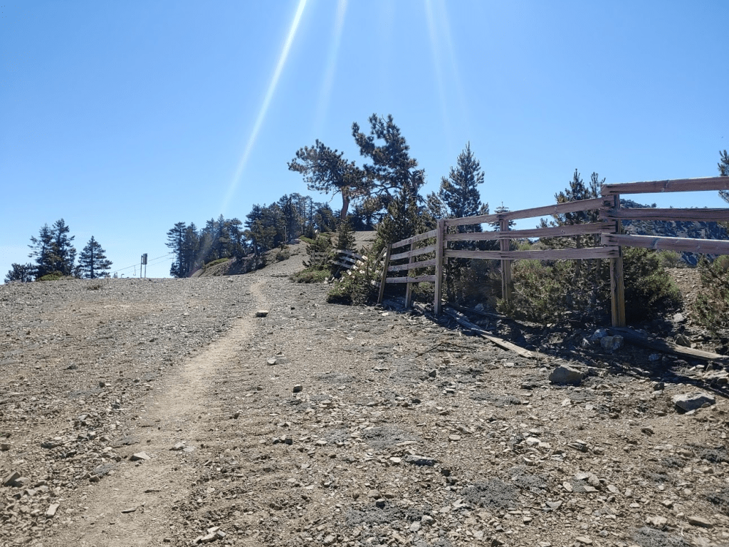
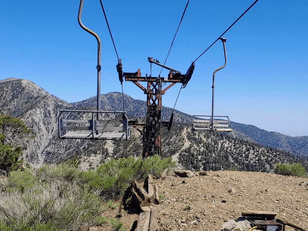
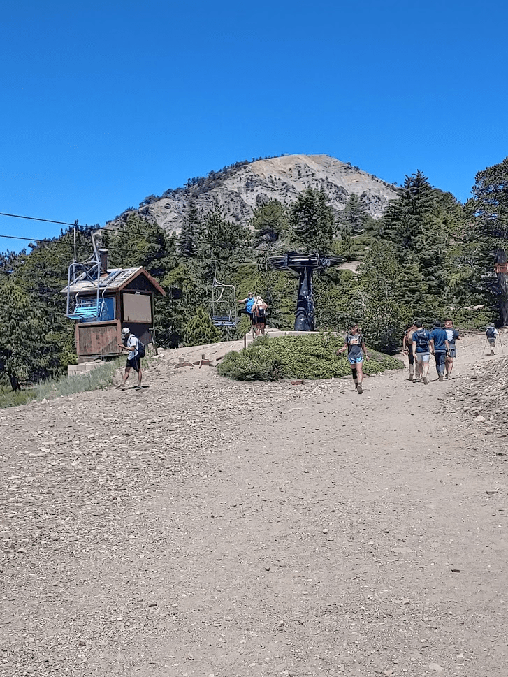
At 8.21 miles I reached the top of Thunder Mountain at 9:57am. I wasn’t aware of this before, but there is a chair lift to the top of Thunder Mountain from the Notch below.

This definitely wasn’t my favorite summit. I didn’t take much of a break before descending to Baldy Notch. Most hikers on the Three T’s trail probably turn around here and hike back to the trailhead for a 16 mile out and back. I followed one of the ski runs down.

About a ¼ of the way down the ski run, I climbed up the steep bank on the right to another minor peak called Gold Ridge (8400 feet).

At 8.68 miles I reached the top of the ridge. I had a nice view of the steep north face of Telegraph.
I climbed back down to the ski run and continued descending. The ski runs forks about halfway down. Both ways lead to the Notch, so I decided to take the upper (right) fork.
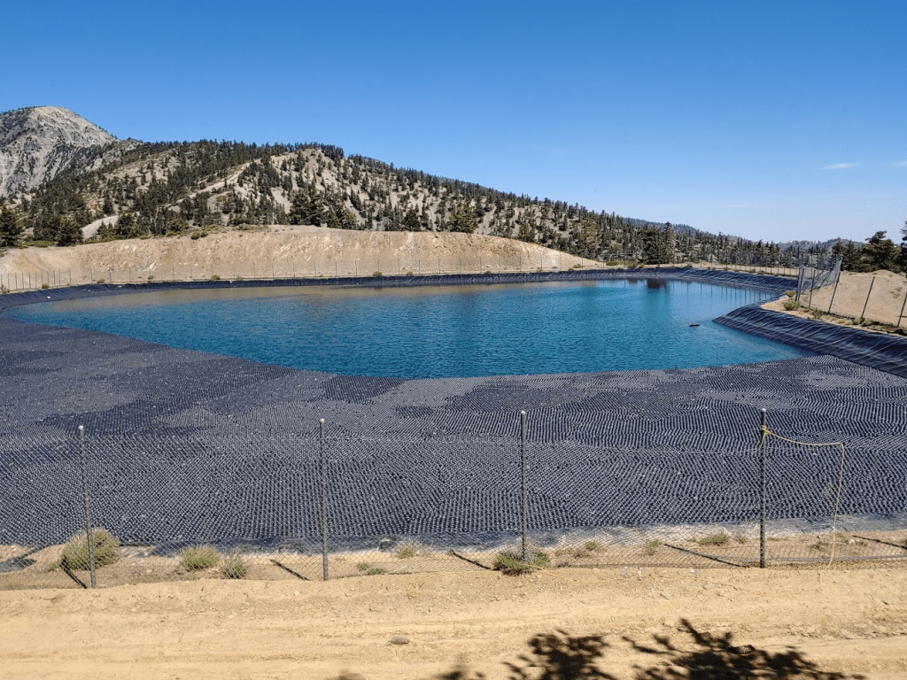
Just before the Notch I passed some sort of man-made body of water. I had seen it from above. I’m not really sure what it’s for, perhaps just a basin to catch rainwater?
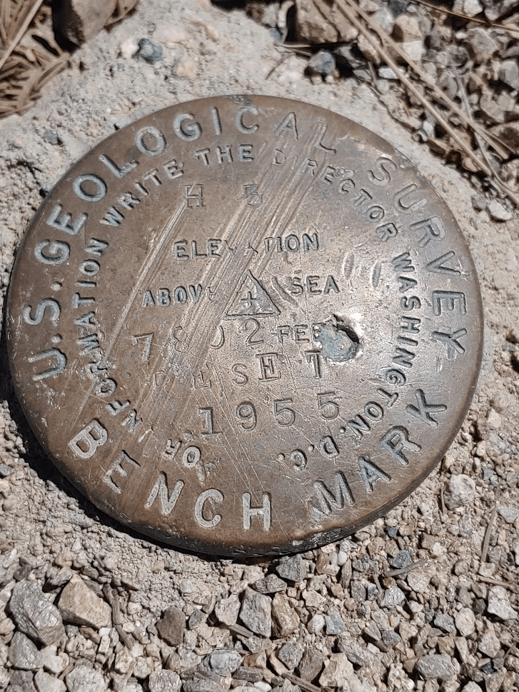
Shortly after passing the “lake” I located a USGS benchmark off to the side. It is simply marked 7802 (its elevation).
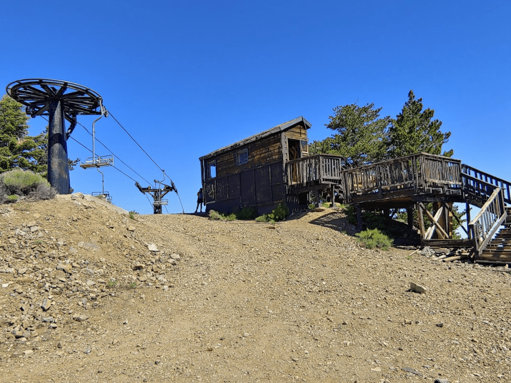
At 9.95 miles I reached Baldy Notch. There is a restaurant, a ski equipment rental place, and chair lifts leading off in every direction. I expected everything to be closed due to the pandemic, but I was a little surprised to see the restaurant was open. The chair lift coming up from Manker Flats was even operating. I had no idea they ran one of the lifts during the summertime. I found it difficult to imagine needing to ride a chair lift to get up here. It’s a pretty easy 2-3 mile hike on a gravel road from Manker Flats.

I had been up once before on my 2016 ascent of Mount Baldy. One of the popular routes to Baldy involves hiking up to Baldy Notch from Manker Flats, and then hiking the Devil’s Backbone Trail up to the summit. I explored the area a little and hiked to the highest ground in the vicinity so I could claim the Baldy Notch “peak” on Peakbagger. I found what I think is a frisbee golf course and also a few snow machines.

I made it to the top of the Notch and then headed back down to the Lodge. It was now decision time. It would be about a 6 mile descent to Icehouse Canyon from here. However, my legs were feeling great despite having already climbed over 5000 feet. It also wasn’t even 11am yet so I had plenty of time in the day left. The sun was getting warm, but it was still pleasant at these high altitudes and I had plenty of water. After considering all this, it was an easy decision to continue on to Mount Harwood. Harwood is really just a subpeak of Mount Baldy and can be accessed via a short spur trail from the main Devil’s Backbone Trail. It was really a shame I wasn’t familiar with the Sierra Club HPS List back in 2016 when I climbed Baldy. I would have passed within a few hundred feet of Harwood’s summit without even realizing it. Anyway, I began hiking up one of the access roads to the Devil’s Backbone Trail.
I passed dozens of people on their way up to Baldy. Mount Baldy, due to its stature as the highest mountain in LA County, is an extremely popular peak. There were hikers of all shapes and sizes making their way up. Most seemed to be struggling mightily with the altitude. I soon reached the top of another chair lift.
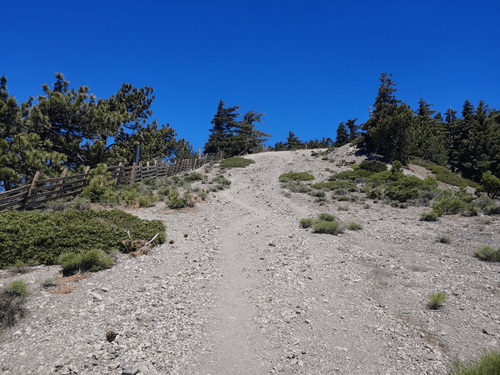
At 11.18 miles the access road turns into a single track trail. This is the official beginning of the Devil’s Backbone Trail.
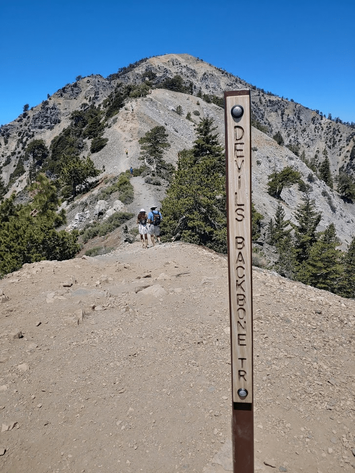
The Devil’s Backbone is really a cool trail. It follows the ridge west up to the summit of Baldy with steep drop-offs on either side. It had been 2.5 years since my ascent of Baldy, so it was fun to reminisce. That was the first major hike I completed in Southern California. I had done it on an unusually warm weekday in mid-December, so the crowds were nothing compared to what they were this day.
About 2/3 of the way up to Mount Harwood, I left the trail once more for my last minor peak of the day. This one is simply called Devil’s Backbone (9009 feet) and is really just a small rock outcropping. I had a nice view looking back down on the ridge I had just climbed up.
Back on the trail, Mount Harwood was now close.
At 12.13 miles I left the main trail and began hiking up the spur to Mount Harwood. No trees grew up here (despite being well below the tree-line).

At 12.36 miles I reached the summit at 11:50am! This was my 10th and final summit of the day. Once again, I did not find a register. I initially had the summit all to myself but then some other groups began climbing up. It seems that most, but not all, skip Mount Harwood on their way up Baldy. The views were incredible so high up. Mount Baldy looked magnificent from so close by.

To the east I could see the San Bernardino Mountains.

To the southeast I could see Telegraph and Cucamonga.

To the south I could see Ontario with Santiago Peak in the far distance above the clouds.

To the southwest, the clouds obscured the Los Angeles basin.
To the north I could see Dawson Peak and Pine Mountain.
To the northeast I could see I-15 heading into the Mojave Desert.

There were 2 large snowbanks still on the north side of the summit. I threw a few snowballs off the side of the mountain.

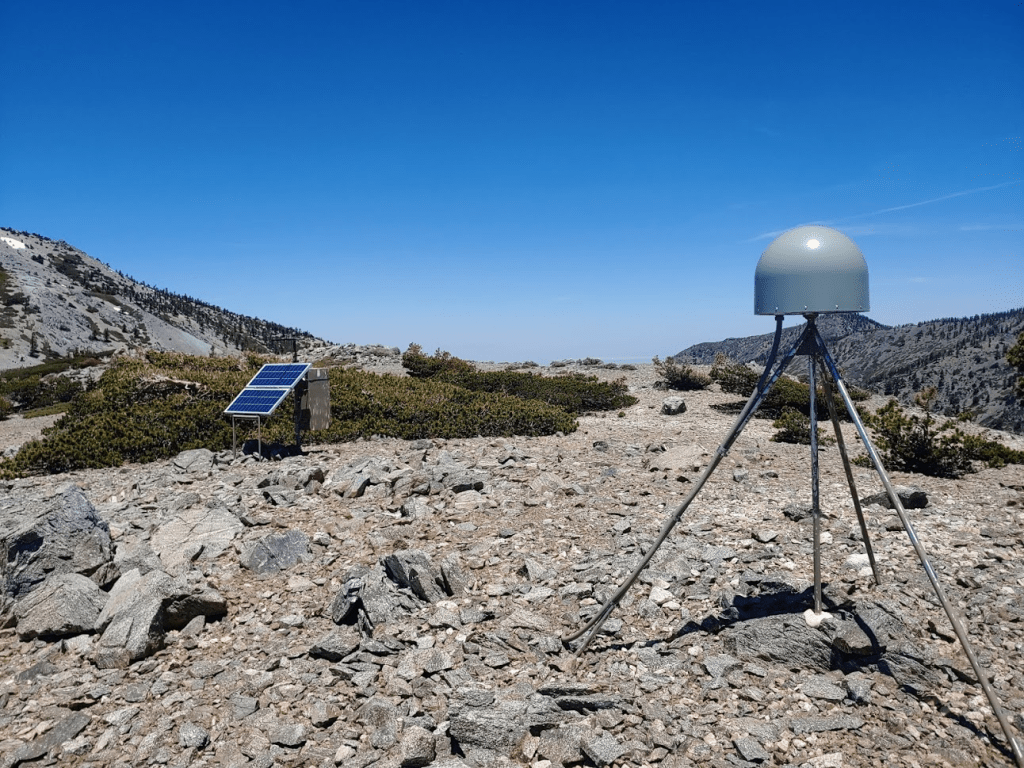
I took my longest break of the day since this was the final peak I would climb. I briefly considered continuing on to Baldy. I had plenty of energy left and it really wasn’t that much further. However, I really don’t have much interest climbing peaks I’ve already done, plus I didn’t feel like sharing the summit with 100 people. I continued west to where the spur trail rejoins the Devil’s Backbone trail before I turned around. I passed a solar panel and some kind of equipment along the way.
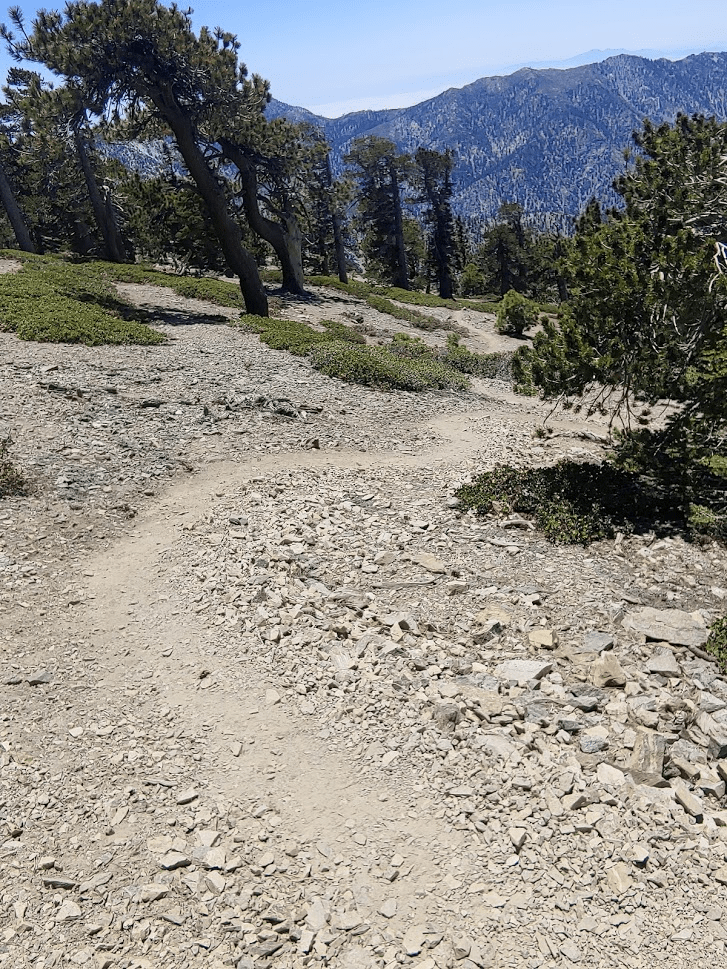
I still had nearly 5000 to descend in about 6 miles. I decided to take the Register Ridge Trail down to Manker Flats. The other options would have been backtracking to Baldy Notch and walking down from there, or summitting Baldy and then descending the Ski Hut Trail. Register Ridge is a relatively unknown trail that descends directly from Mount Harwood to Manker Flats. I found the trail directly opposite the spur trail to Harwood. I began descending down the ridge to the south.
The trail was very steep. I only encountered 4 hikers making their way up the entire time. It would certainly be a difficult trail to go up!
It really started to warm up as I descended. I had 1 liter of water left so I made sure to conserve it. I could see Manker Flats from above.

The Register Ridge Trail eventually joins the ski hut trail just above where the ski hut trail ends at the road to Baldy Notch.
I finally reached Manker Flats at 15.6 miles. I had descended 3200 feet in 2.5 miles from the top of the Register Ridge Trail!
Manker Flats is the usual starting point for Mount Baldy, so it was very packed. I still had about 3 miles to walk to Icehouse Canyon on paved road. The road walk was not very enjoyable at all. It was mid-afternoon and I was back under 6000 feet, so it was extremely hot. I finally reached the car at 2:35pm. This hike ended up totaling 18.61 miles, 7100 feet elevation gain, and 8:32:15 total time.


