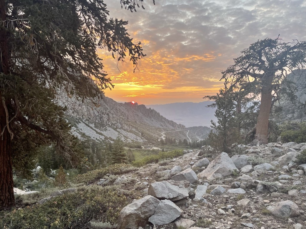
Mount Gould is a 13005 foot peak in the Onion Valley area of the Eastern Sierra. It is most commonly reached via its south ridge from Kearsarge Pass. I was originally planning to climb Mount Keith on this day, but I had worn myself out on Black Mountain the day before, so I opted for a much easier climb of Mount Gould instead. I had slept in my car at the trailhead the night before, so I was ready for an early start. This is one of the most popular trailheads in the area – the parking lot was full when I arrived late on Saturday, so I had to park on the side of the road. I started this hike at 5:28am from 9146 feet above sea level.
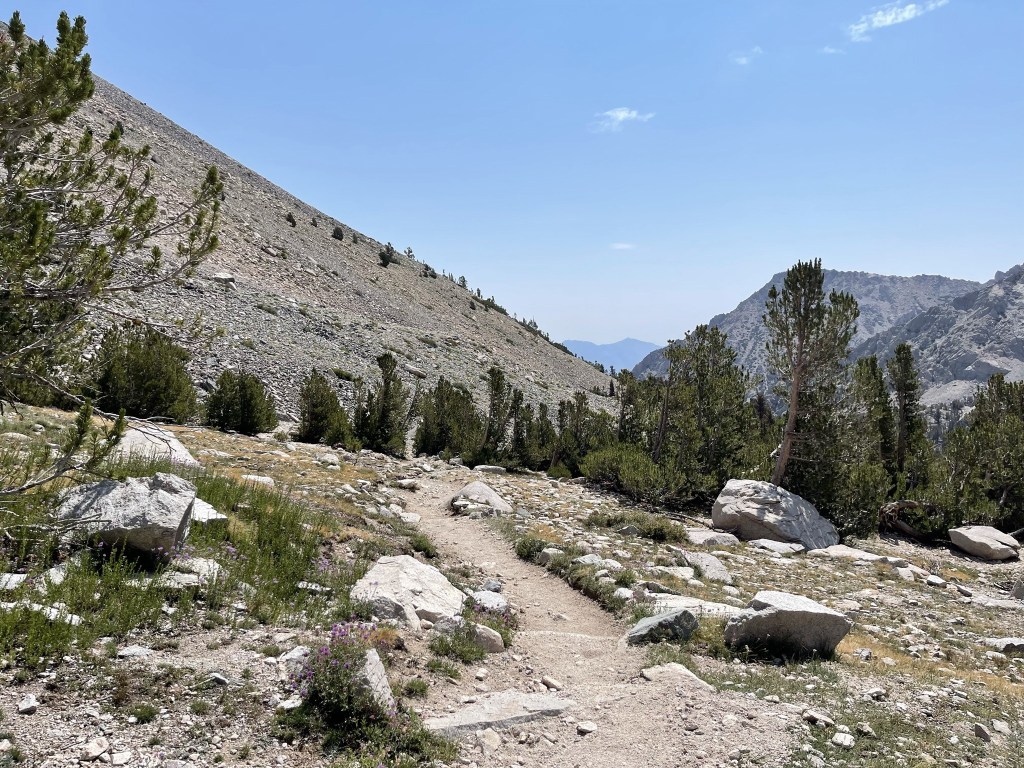
The first few miles would take me up the Kearsarge Pass Trail, which I had been on recently when I climbed University Peak in late June. The eastern sky was beginning to light up as I got started.

At 0.5 mile I went left at a trail junction towards Kearsarge Pass.

Shortly after that the sun began to poke out above a distant ridge.
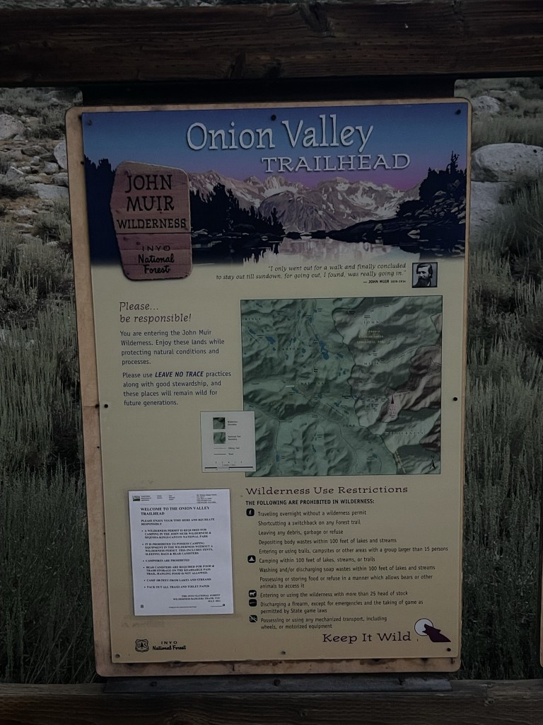
At 0.9 mile I entered the John Muir Wilderness.

I was turning around constantly to admire the sunrise.

It was very beautiful.

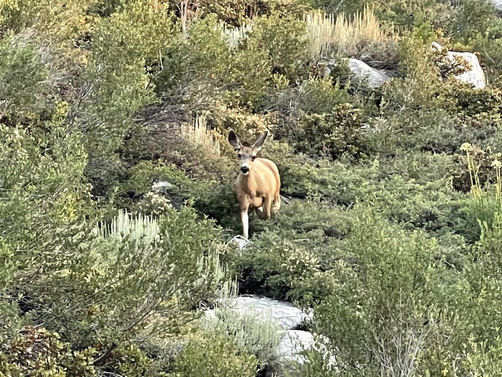
At 1.3 miles I spotted a deer not too far away. It kept its distance, but it actually didn’t see too afraid of me.
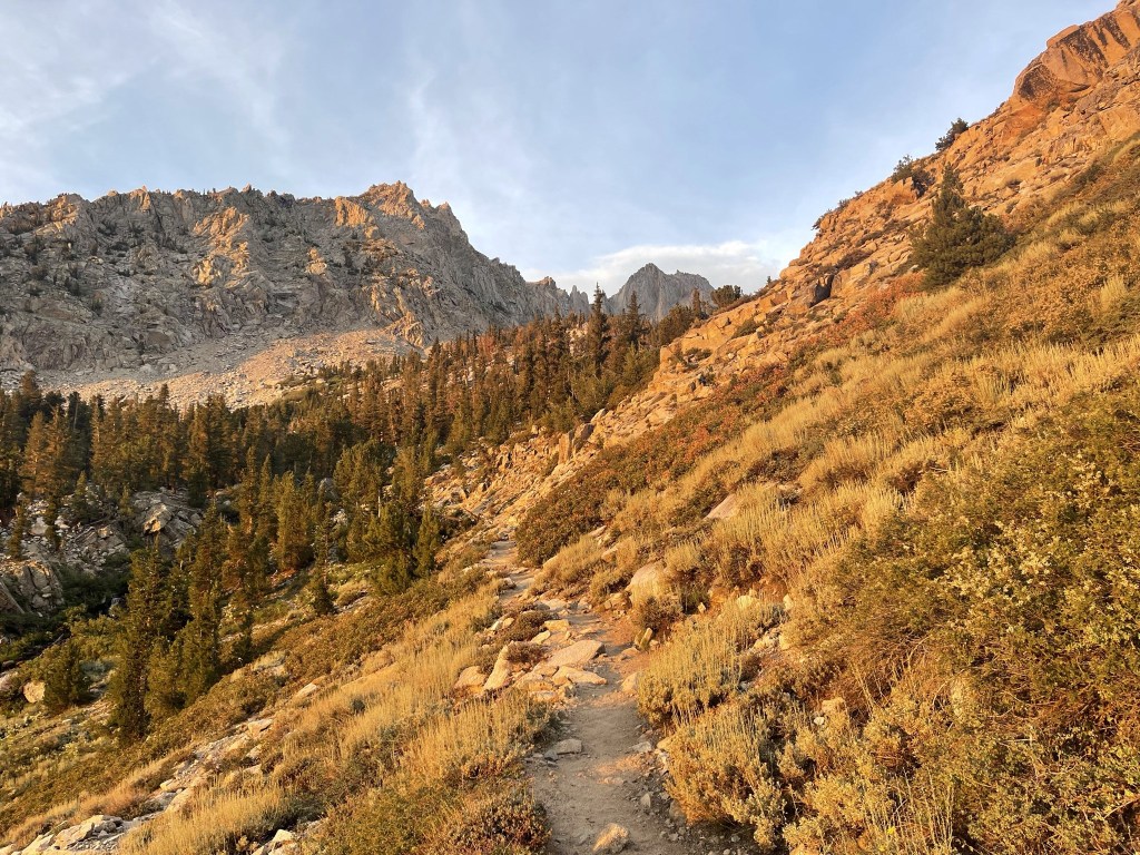
The trail gained elevation and made a few switchbacks as it headed west.
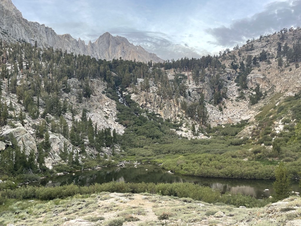
At 1.7 miles I reached Little Pothole Lake. University Peak towered above the scene.
I continued up more switchbacks above the lake.

At 2.4 miles I reached Gilbert Lake.

I continued west past the lake. At 2.7 miles I reached the turnoff for Matlock Lake, which is the direction I went when I climbed University. I remained on the Kearsarge Pass Trail this time.

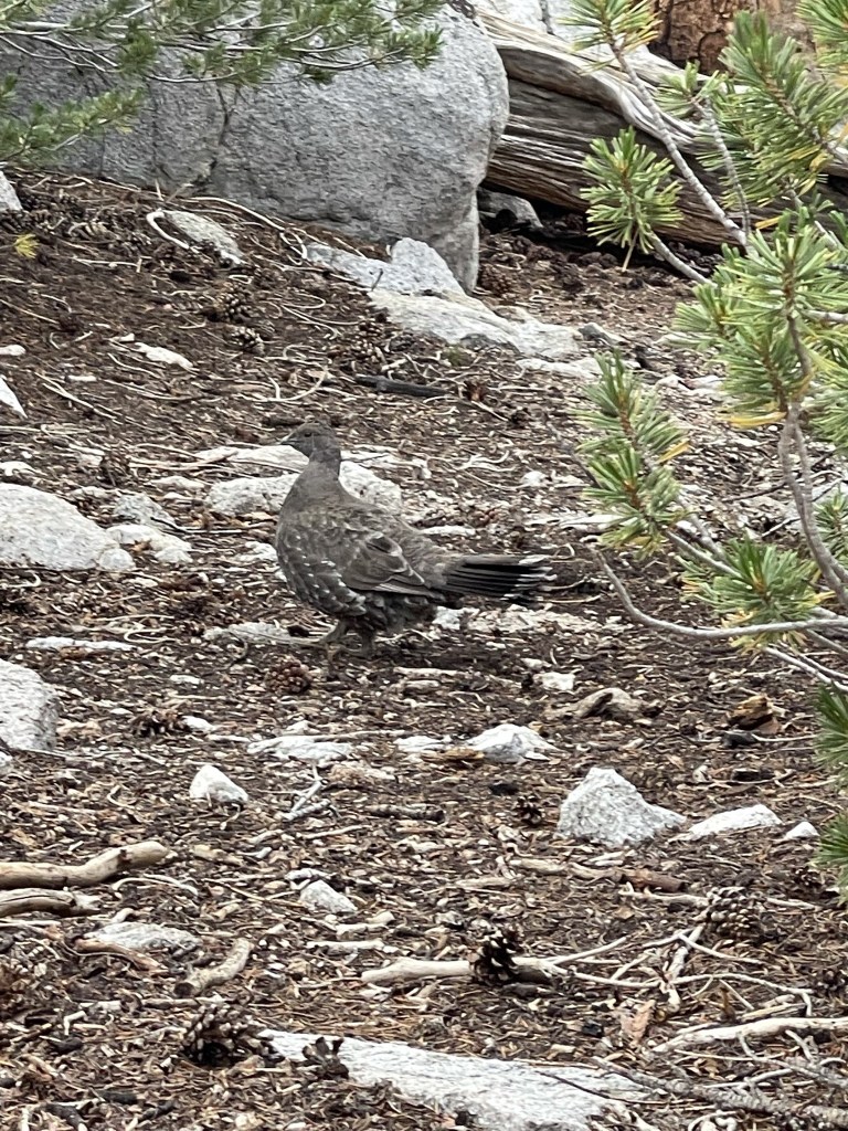
At 3 miles I spotted a large bird. I’ve seen a few of these in the Sierra (most recently on Cartago Peak), but I have no idea what they are.
There were a few other groups of hikers on the trail, plus some backpackers just waking up. The trees began to thin out above Gilbert Lake.
At 3.6 miles I saw Heart Lake down below. You can see the heart shape in the picture below.
Mount Gould finally came into view once I was above Heart Lake.

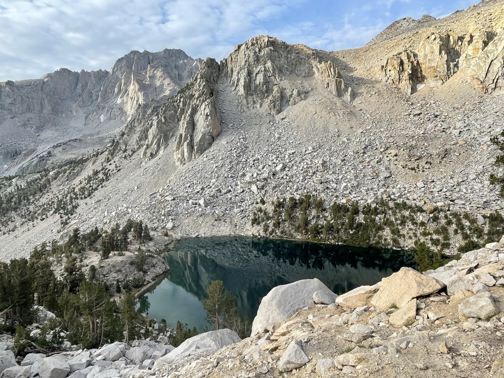
At 4.4 miles I passed above Big Pothole Lake. University Peak is upper left.

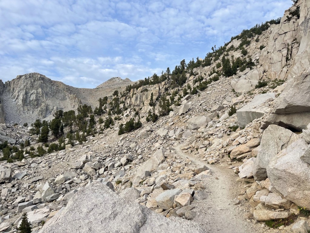
At 4.9 miles I reached Kearsarge Pass at 11760 feet. I only had about 1300 feet more to ascend.
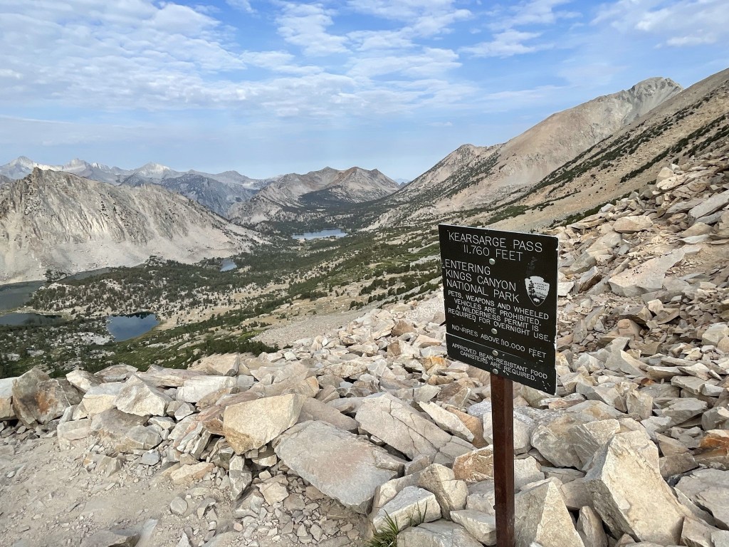
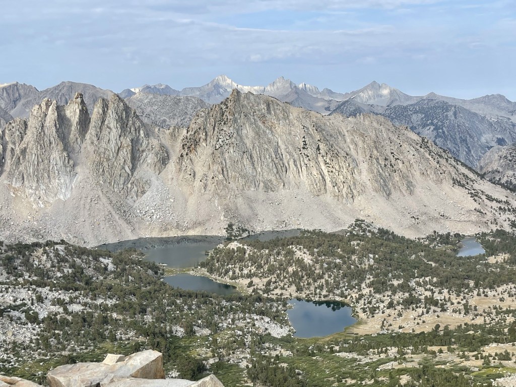
I had a nice view of the Kearsarge Lakes west of the pass. The lakes are a popular backpacking destination.
I left the trail and began climbing up the south ridge of Mount Gould.

I was able to follow a vague use trail as I ascended the ridge.
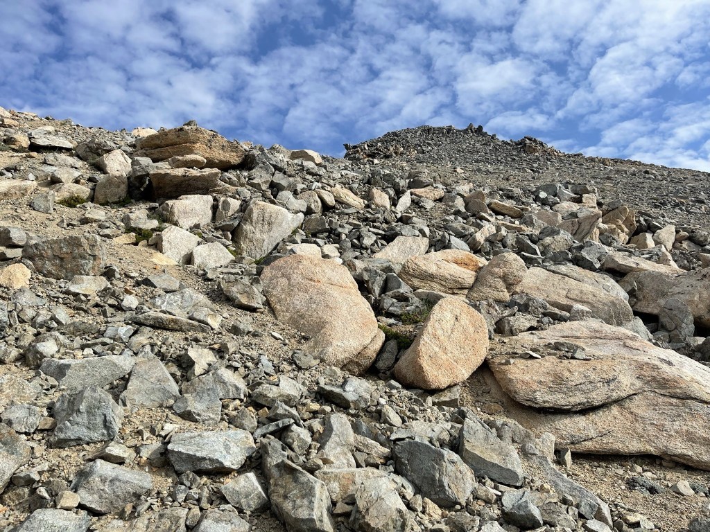
I passed a solo hiker on his way down from the summit. He assured me the views were excellent on top. The mountain was surprisingly solid compared to other Sierra peaks, so I made good time up the ridge. Very little sand and loose rocks.
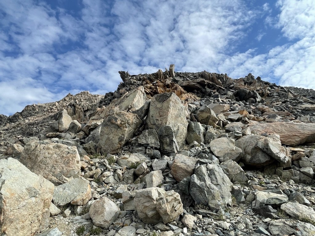
Soon what I thought was the summit came into view. I nearly climbed to the top of it when I realized it was a false summit.
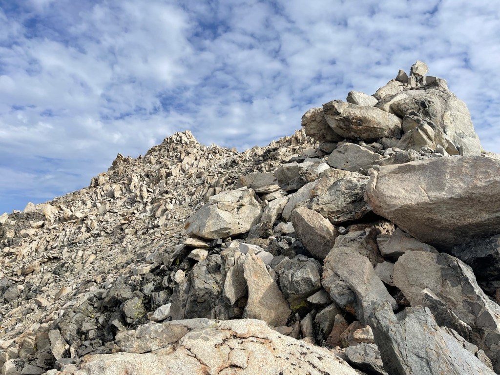
The actual summit came into view just beyond the false summit.

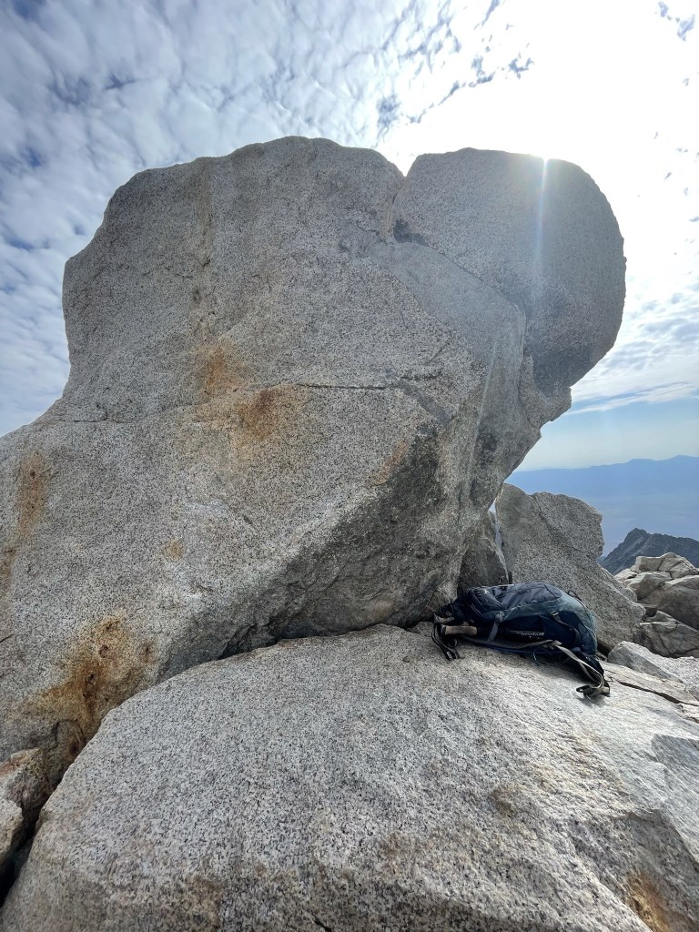
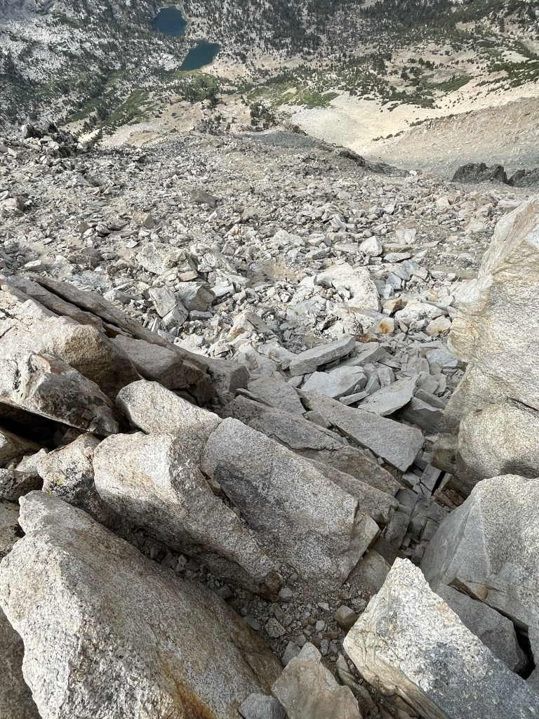
I approached the summit from the west side. There were a few class 3 ledges I was able to hoist myself up.

After the ledges I reached the summit block. I was able to climb it from the west side by climbing up onto the narrow ledge about halfway up, and then using a foothold on the right side to hoist myself onto the top.
I reached the summit at 9:08am at 5.5 miles!
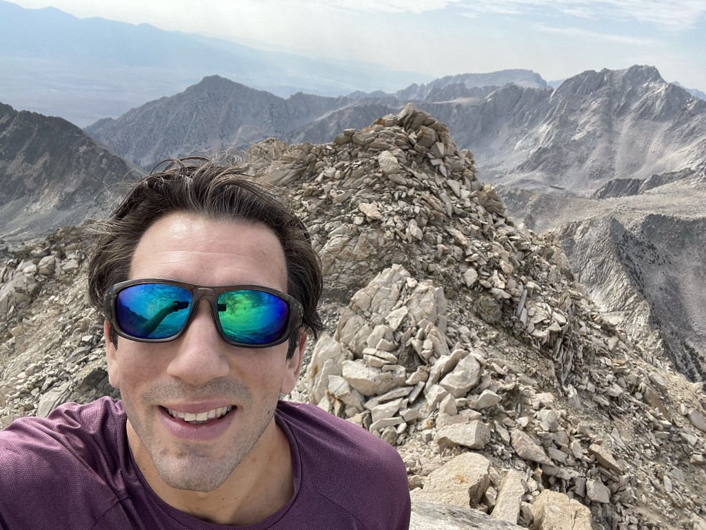
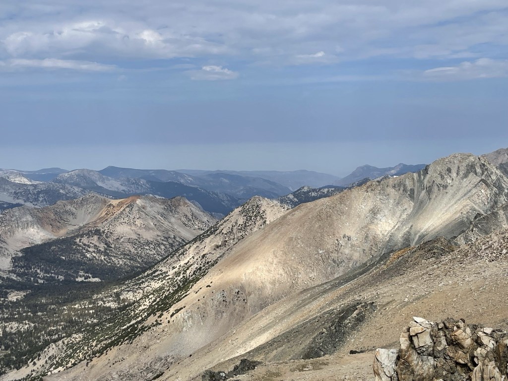
My knees were shaking a little, so I just took a few pictures and then climbed back down. I was able to use the same foothold on the right side to lower myself onto the ledge, and then from there I lowered myself the rest of the way down by holding onto the top of the boulder. The register was located at the base of the summit block, so I signed it once I was back down. It was placed in 2015 and the previous entry was from today (presumably by the hiker I had seen descending lower on the ridge). The southern view was spectacular. From left to right: University Peak, Mount Tyndall, Junction Peak, Caltech Peak, and Mount Stanford.

Southwest: South Guard, Mount Brewer, North Guard, and Mount Farquhar
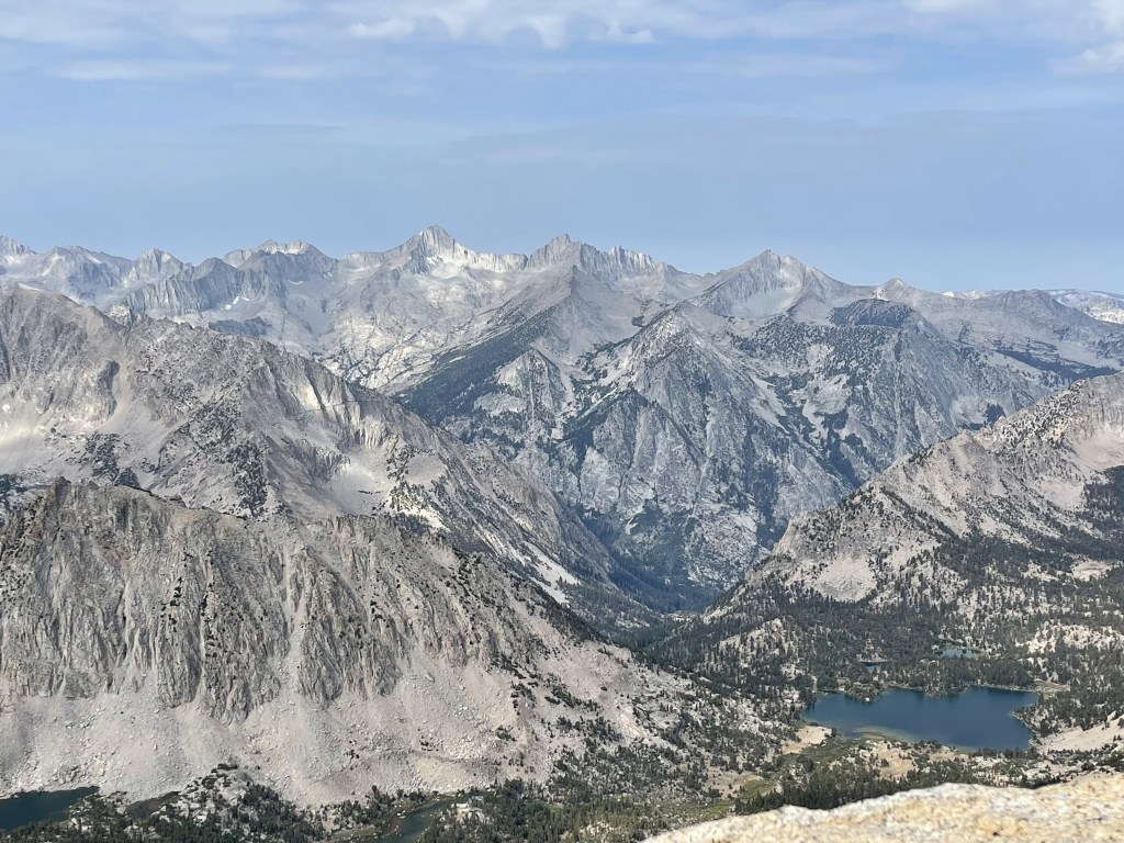
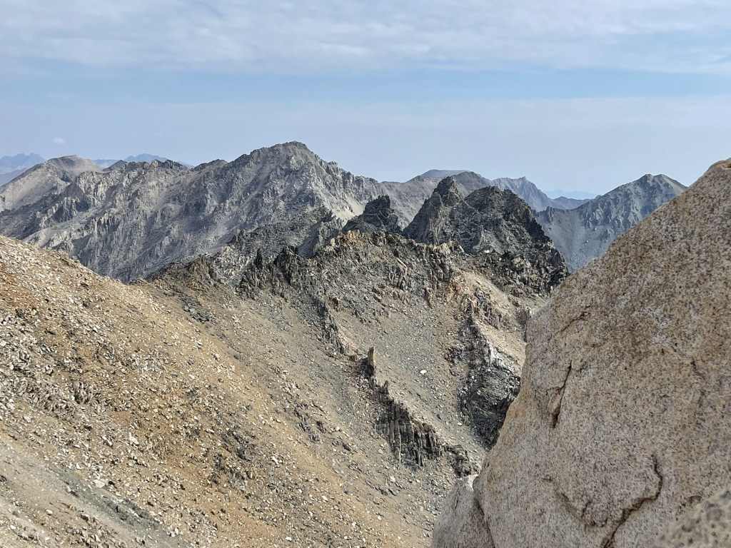
Kings Canyon to the west:
Northwest: Mount Gardiner, Mount Cotter, and Mount Clarence King

North: North Palisade and Middle Palisade

Closer to the north: Black Mountain (left center) and Dragon Peak (right center, foreground)
East: Inyo Mountains with Golden Trout Lake in the foreground.

It was actually a bit chilly on the summit. It was windier than the day before plus there was a thin layer of clouds blocking the full intensity of the sun. After a nice break, I climbed back down the series of ledges.
I avoided the false summit this time by hiking around the west side of it.

I made good time down the south ridge. I passed a large group of 8 hikers climbing the ridge towards Mount Gould once I was near the pass again. I was surprised to see such a large group climbing the peak, but Mount Gould is one of the more popular peaks in the High Sierra due to the relative easiness of the route.

I reached Kearsarge Pass again at 6.2 miles. I then turned east back towards the Onion Valley Trailhead. I passed dozens of groups of hikers and backpackers heading both directions (this is a very popular trail).
I reached Gilbert Lake again at 8.5 miles. I wasn’t in a hurry, so I walked down to the shore and put my feet in. I relaxed for 10-15 minutes before continuing.

The rest of the hike went smoothly. It was getting pretty hot now as the clouds dissipated.

I made it back to the car at 12:40pm. This hike totaled 11.11 miles, 3842 feet elevation gain, and 7:11:13 total time.


