Day 1
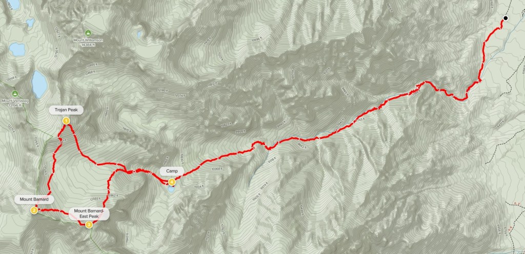
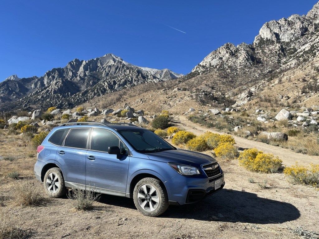
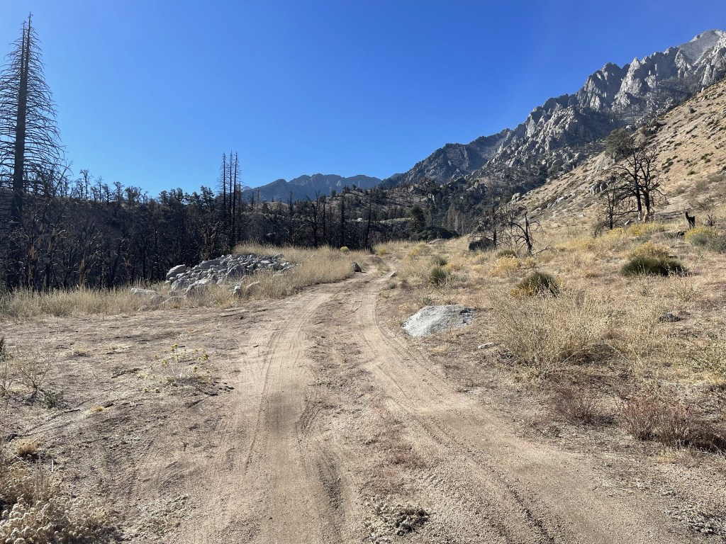
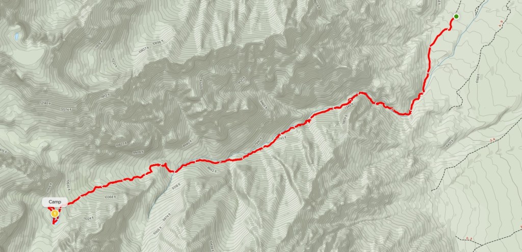
Mount Barnard (13990 feet), Mount Barnard-East Peak (13714 feet), and Trojan Peak (13947 feet) are 3 peaks that lie on the Sierra Crest between Mount Whitney and Mount Williamson. Mount Barnard falls only 10 feet short of being a 14er and is the highest non-14er in the United States. In fact, its height was once measured at 14003 feet until it was re-surveyed at some point. I intended to climb the 3 peaks as part of a quick overnight backpack. My plan was to haul my gear up George Creek to a small lake at 10900 feet on day 1, and then climb the peaks and return to the trailhead on day 2. I woke up at 4:15am on Saturday morning and made the 5 hour drive to the Eastern Sierra. The George Creek Trailhead is located about 8 miles east of US-395 near Manzanar National Historic Site, which is the location of a concentration camp where Japanese Americans were held during World War II. I’m sure it would be interesting to explore someday, but I drove through quickly on my way to the trailhead. There were a number of turns required to navigate through the site, but Google Maps got me there no problem. The roads were in decent shape until the last few miles. I stopped about a mile short of the trailhead where the road really started to get rough, but in hindsight I certainly could have driven all the way there. There were no other cars parked there when I arrived (this is one of the more obscure trailheads in the Eastern Sierra). I began hiking at 10:05am from 6042 feet above sea level.
I hiked southwest along the road towards the trailhead. It was a beautiful day – mid 50s and not a cloud in the sky.
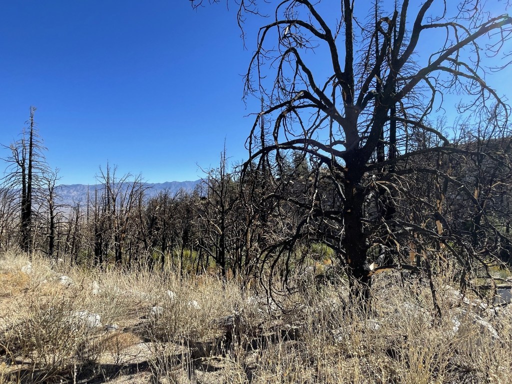
There were a lot of burned trees on the left side of the road.
I reached the end of the road at 0.8 mile at 6392 feet.
I noticed some bear poop not far from the trailhead. I soon crossed to the south side of George Creek.
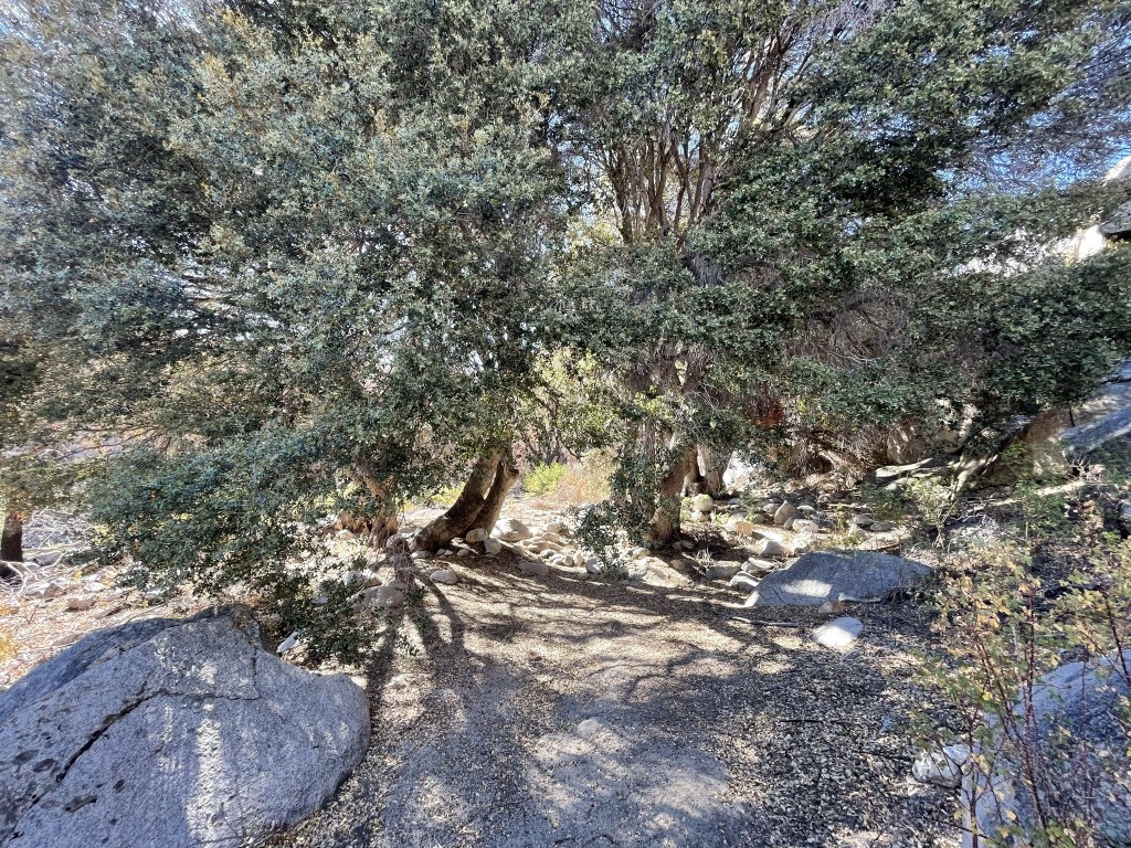
The route would follow the creek all the way up until it peters out around 11000 feet. There is no maintained trail that follows the creek, but there are a series of use trails that one can hike on. The creek was flowing pretty good this time of year.
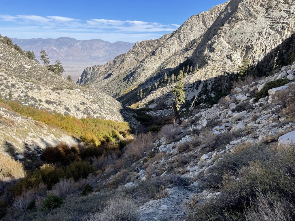
I bushwacked my way along the creek for a little ways and then crossed back to the north side. I picked up a trail heading west at 1.3 miles. There were many burned trees in this area as well.
I crossed the creek again at 1.5 miles using two logs that were placed across the water.
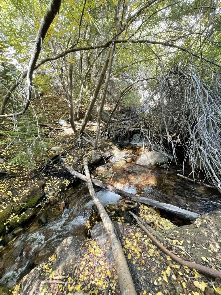
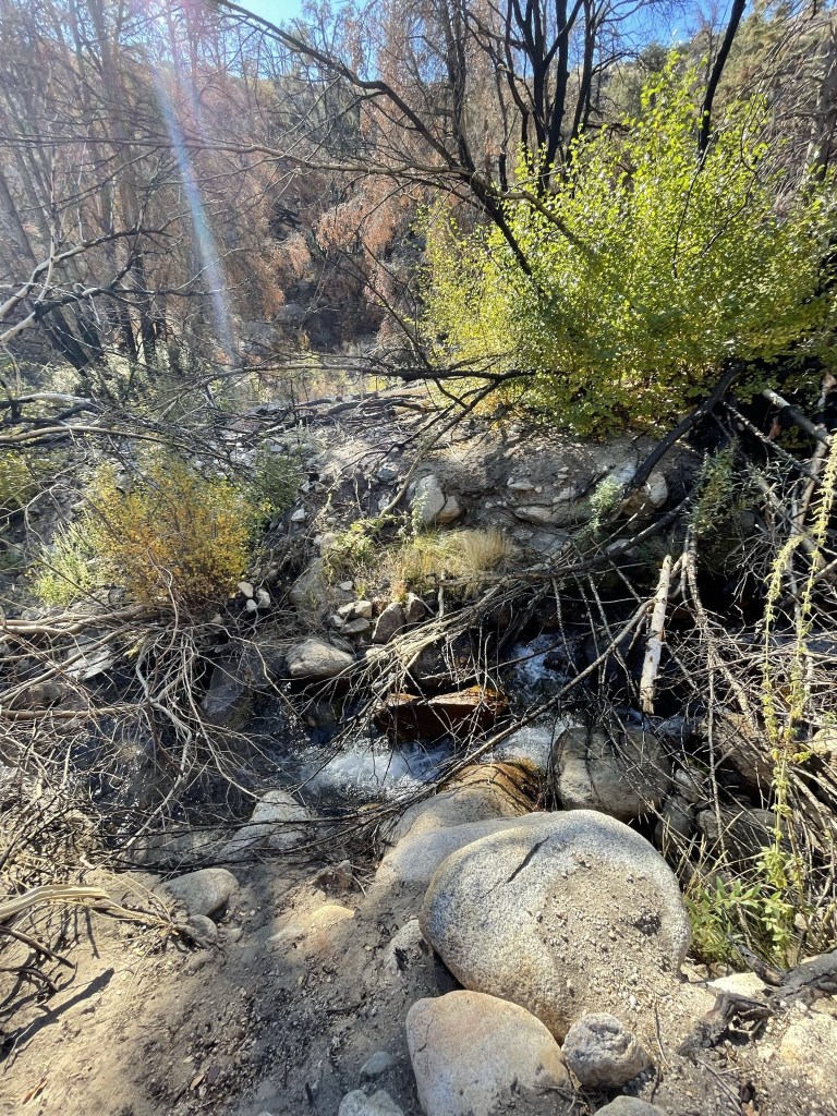
I continued up the creek. The brush was pretty thick in this section which was annoying.
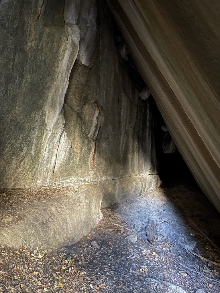
At 2 miles I came to a waterfall.
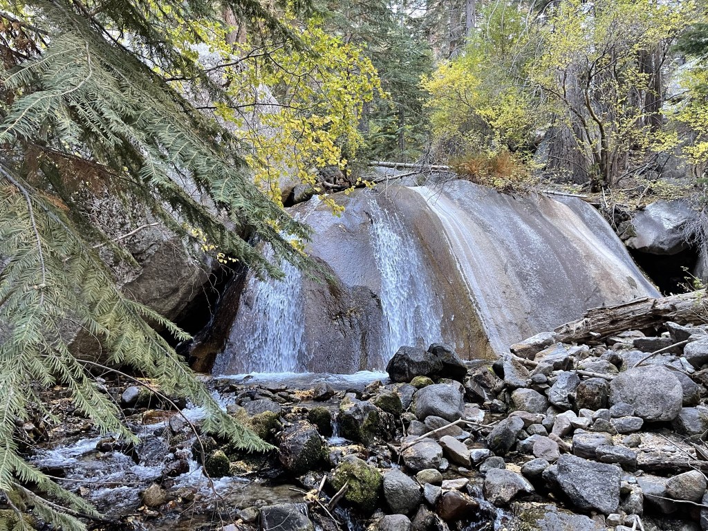
There was a large cave to the left of the waterfall. I was glad I didn’t spook any bears hiding inside!
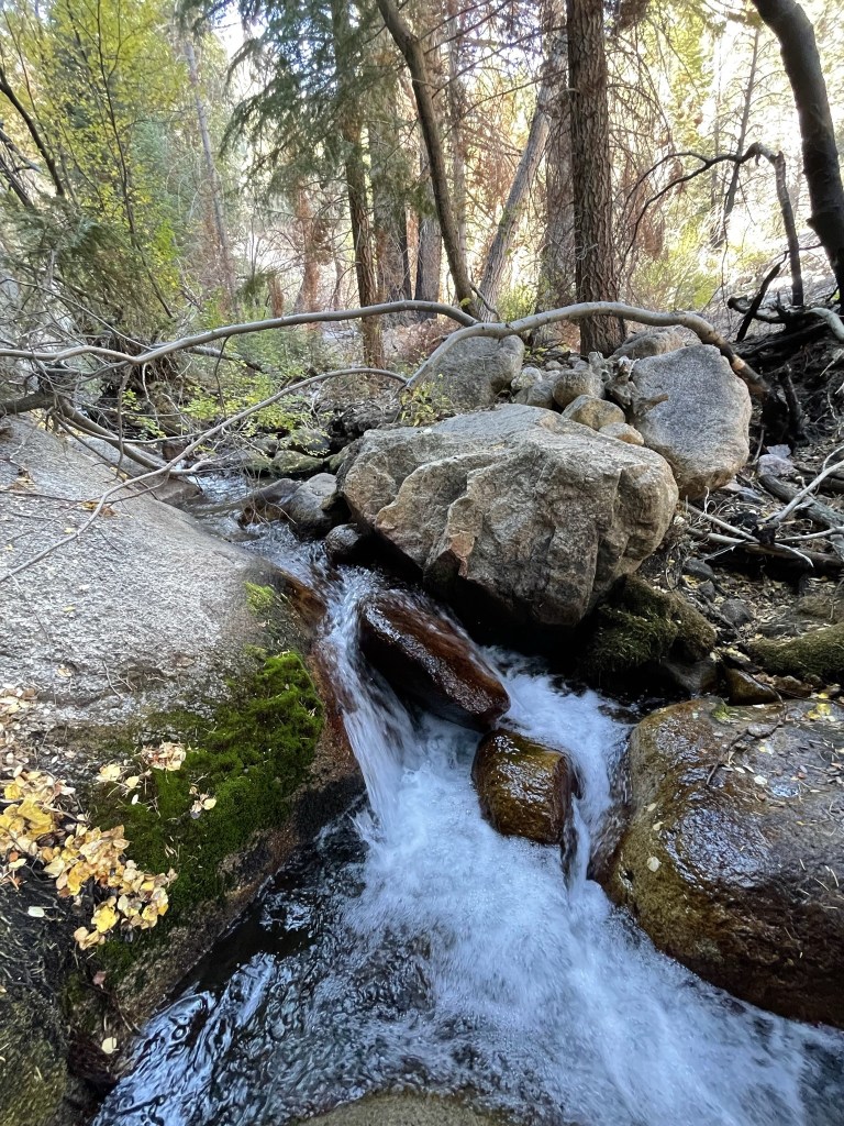
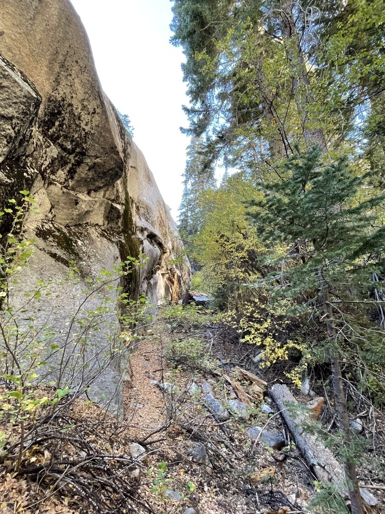
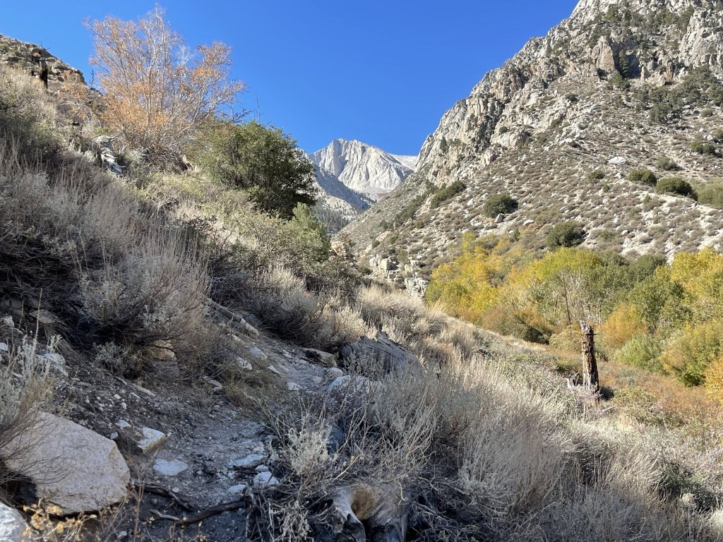
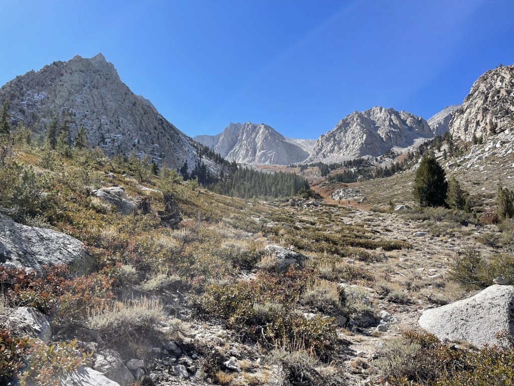
There was no way to proceed on the south side of the creek, so I had to cross to the north side again. The creek was too wide here to step across, so I removed my shoes and socks and walked through the water. Once on the other side, I climbed up above the waterfall and crossed to the south side once more. The trail then climbed above the brush on the left side of the canyon as I got my first glimpse of the high peaks in the distance.
There was a ton of deadfall to climb over.

I started to notice small patches of snow around 7500 feet. I was shocked to see snow this low even though it was only a very thin layer.
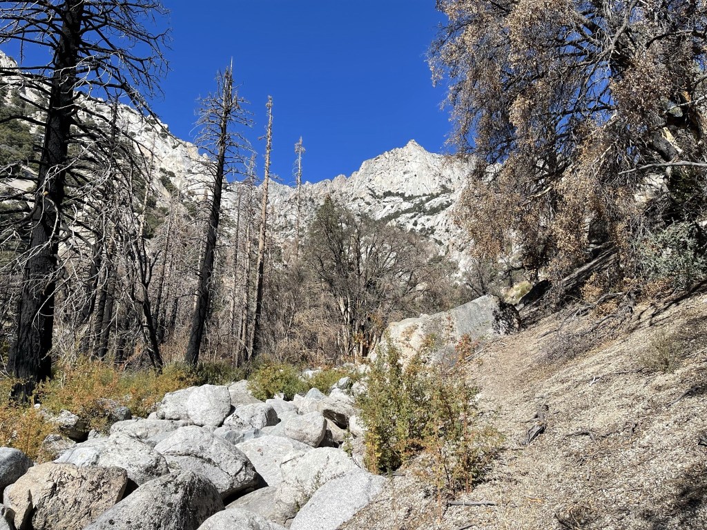
I continued making my way up the canyon. There were many cairns to help guide the way.

The trail really started to get steep as I climbed above 8000 feet. It was difficult with my heavy pack on.

There was more and more snow as I climbed higher.

At 4.3 miles I crossed a tributary of George Creek at just under 9000 feet.
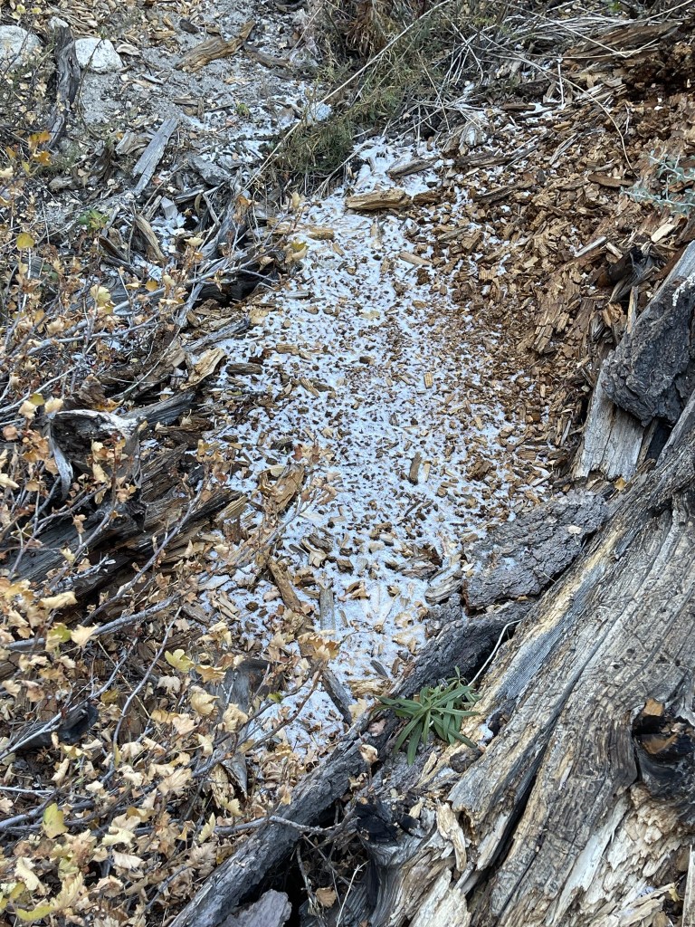
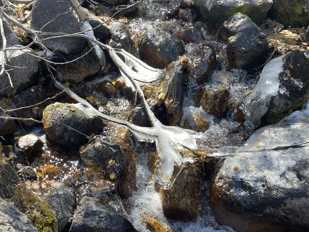
I noticed some ice in the creek.
I turned north for a small section as I climbed away from the tributary.
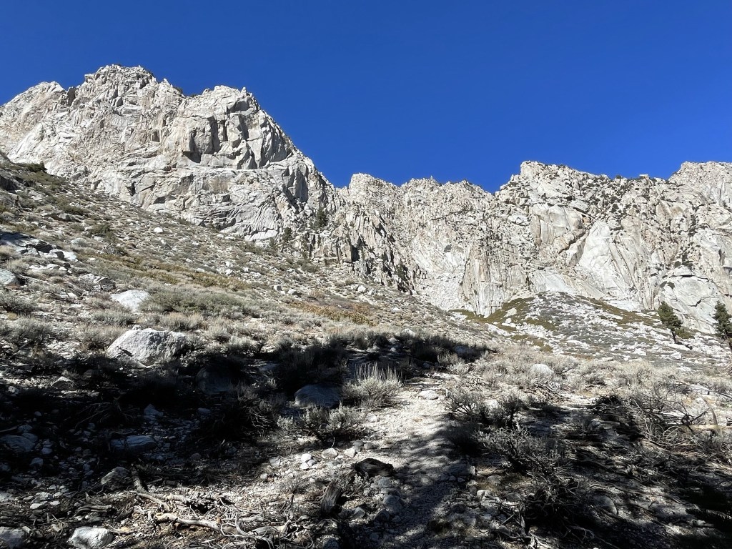
I turned west again as I was now relentlessly gaining elevation. There was no more trail the rest of the way.
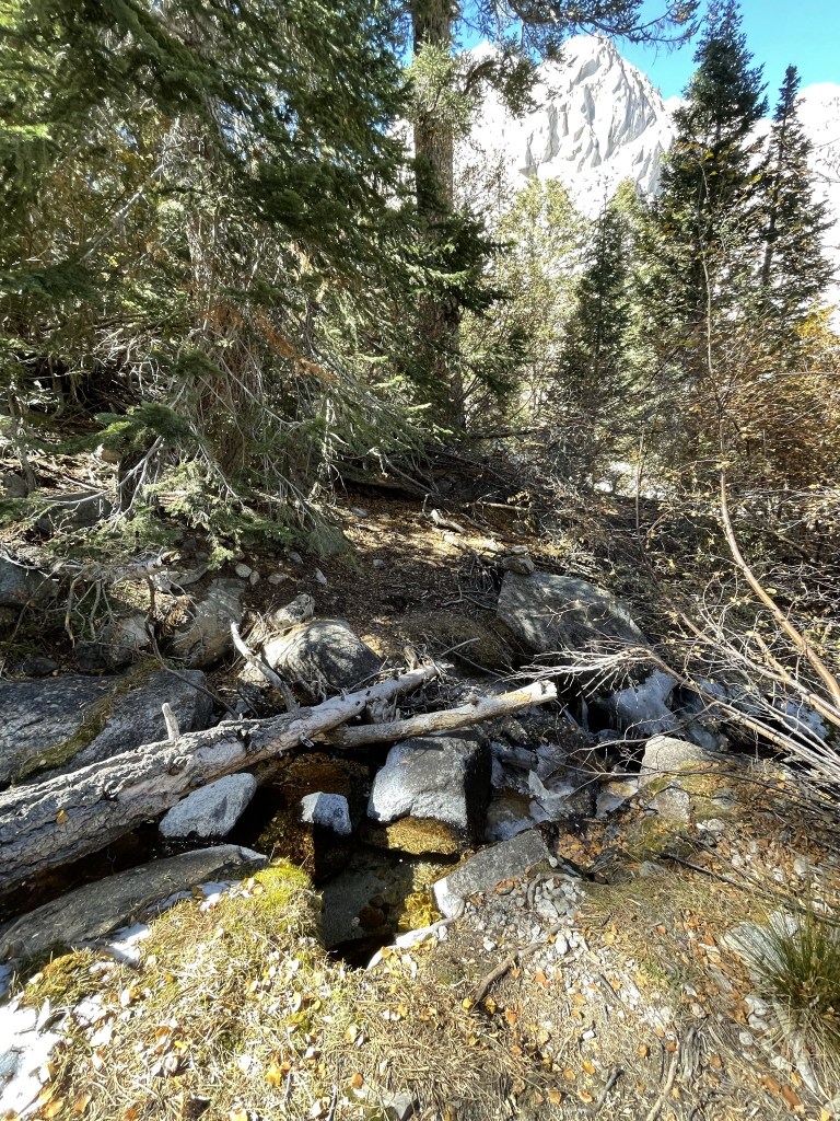
I then climbed up a steep, forested slope of limber pines.
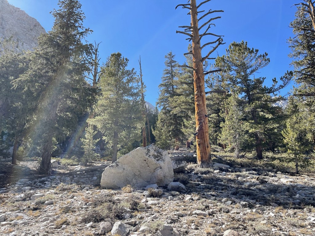
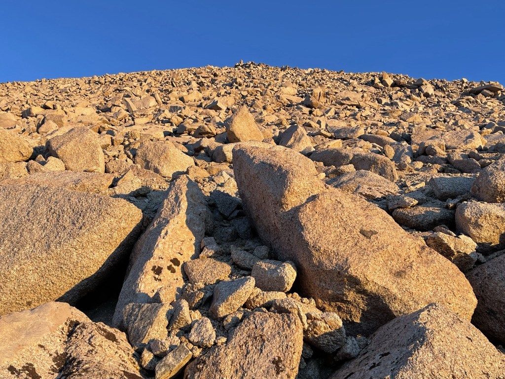
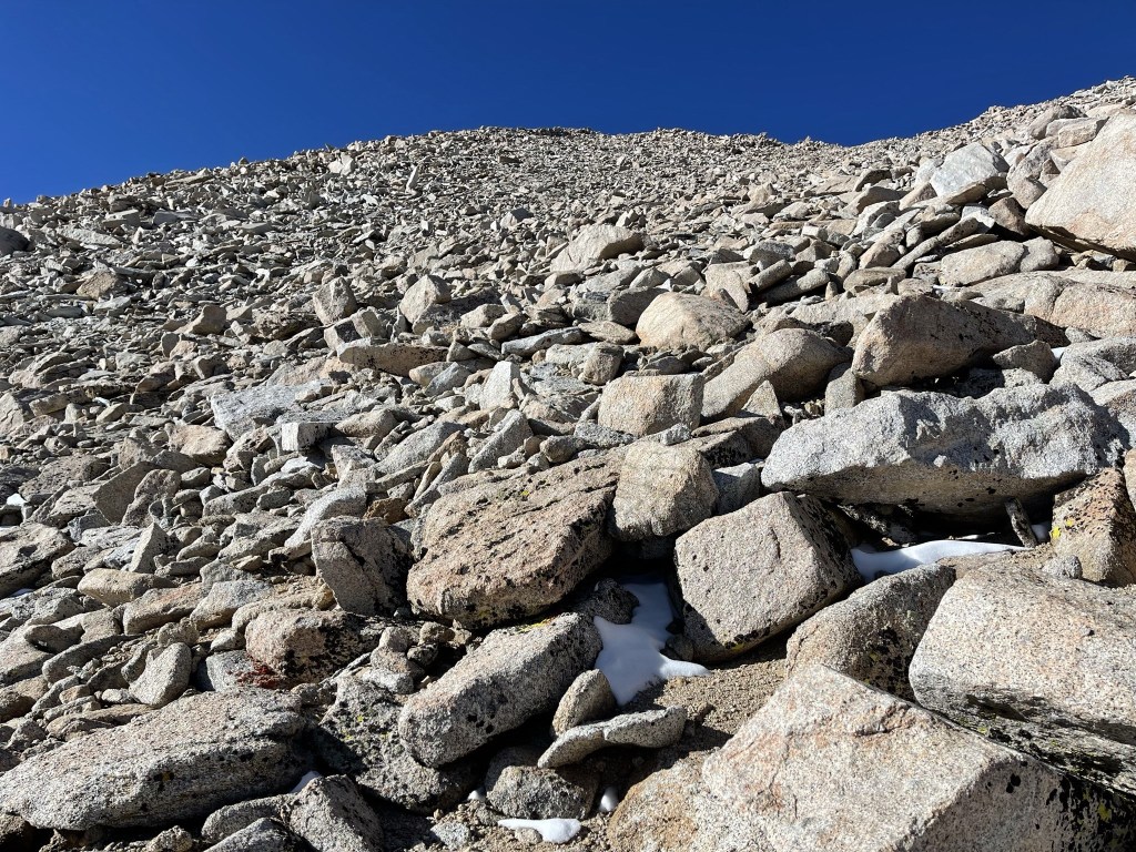
The trees thinned out as I climbed higher. I climbed up a rocky slope as I neared the end of my hike for the day.

The north facing hillside to my left was covered in a thin dusting of snow.

I was getting close!

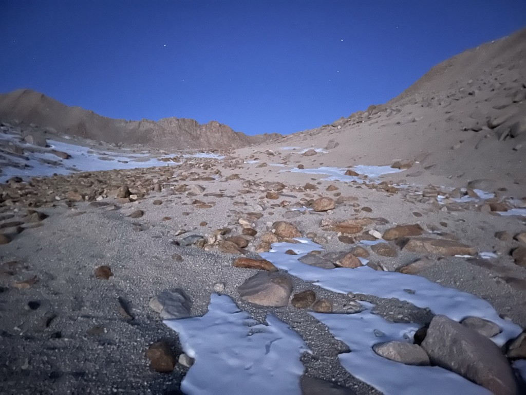
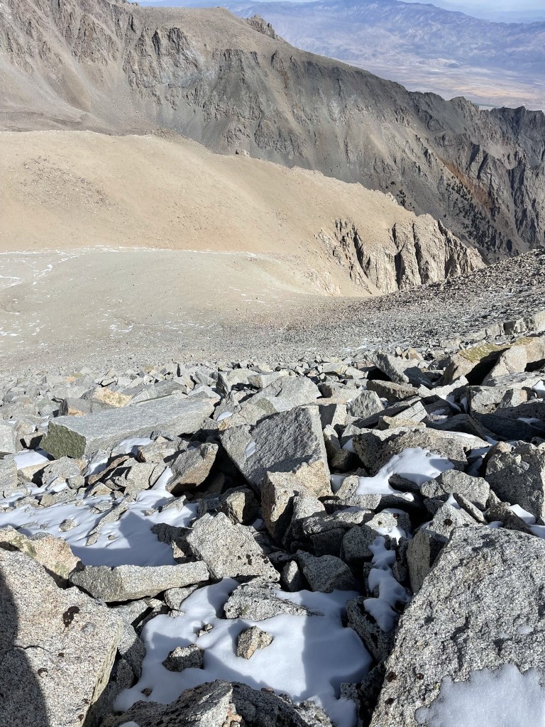
At 3:07pm I reached a small lake at 10898 feet. This is where I intended to spend the night.
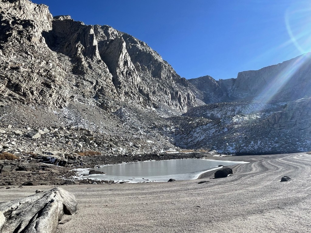
The lake was completely frozen. Thankfully the creek was still running nearby so I was able to get water from there.
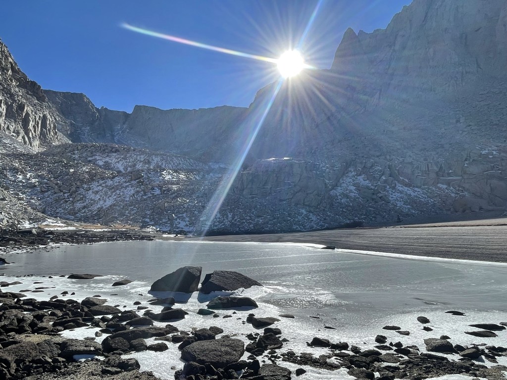
It was a beautiful area.
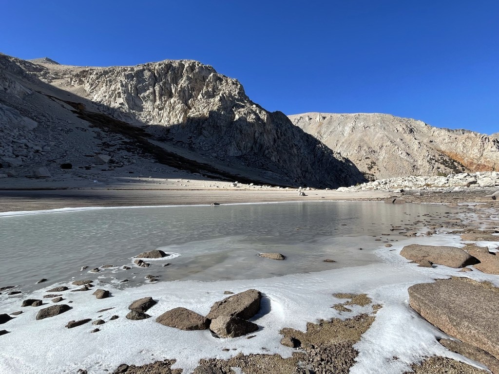
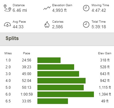
I set up my camp near the lake. It got pretty chilly overnight but thankfully I stayed warm in my tent. The wind also kicked up at some point in the night which woke me up a few times, but I still managed an okay night of sleep. Totals for day 1 were 6.46 miles, 4993 feet elevation gain, and 5:39:18 total time.
Day 2
Sunday morning I woke up at 4:15am so I could get an early start. I knew I had a very long day ahead, so I planned to start hiking before dawn. I packed up my gear, threw some water and snacks into my day pack, and took off into the early morning. I started hiking at 5:09am from 10922 feet above sea level.

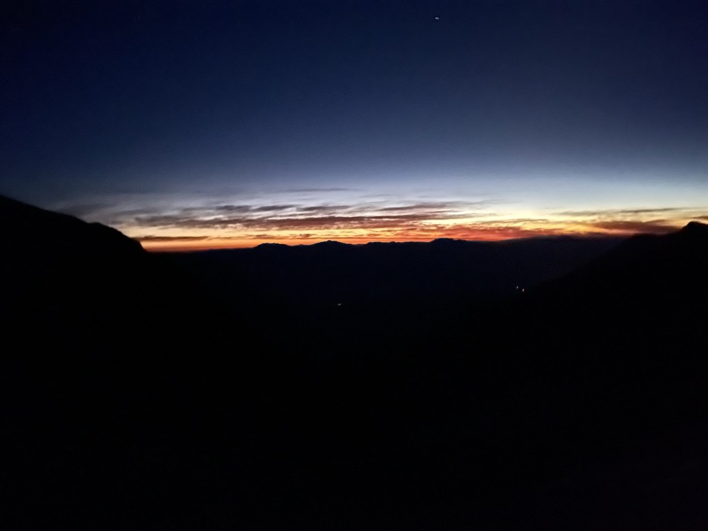
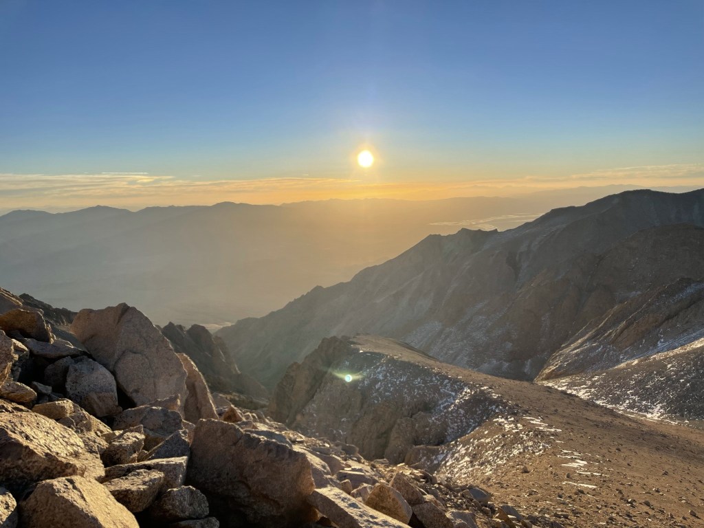
I climbed up the scree slope northwest of the small lake. After an hour or so, dawn started to materialize behind me to the east.
After about a mile of tedious scree climbing, I reached the bowl between the 3 peaks. My plan was to climb them counter-clockwise starting with Trojan to the north, then Barnard to the west, and finally East Barnard to the south.
The eastern sky continued to get brighter.
I turned north and began the climb to Trojan. I was at about 12400 feet, so I still had 1500 feet to climb.
The sun finally rose above the Inyos to the east.

The sun lit up the rocky slope in front of me. It was so cold that the water in the tubing for my hydration bladder froze. I stuffed the tube into my pack to warm it up.

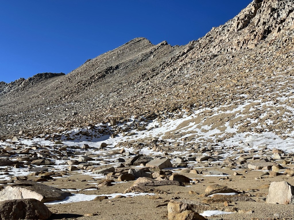
The terrain shifted to class 2 talus around 13200 feet.
I kept turning around to admire the sunrise.
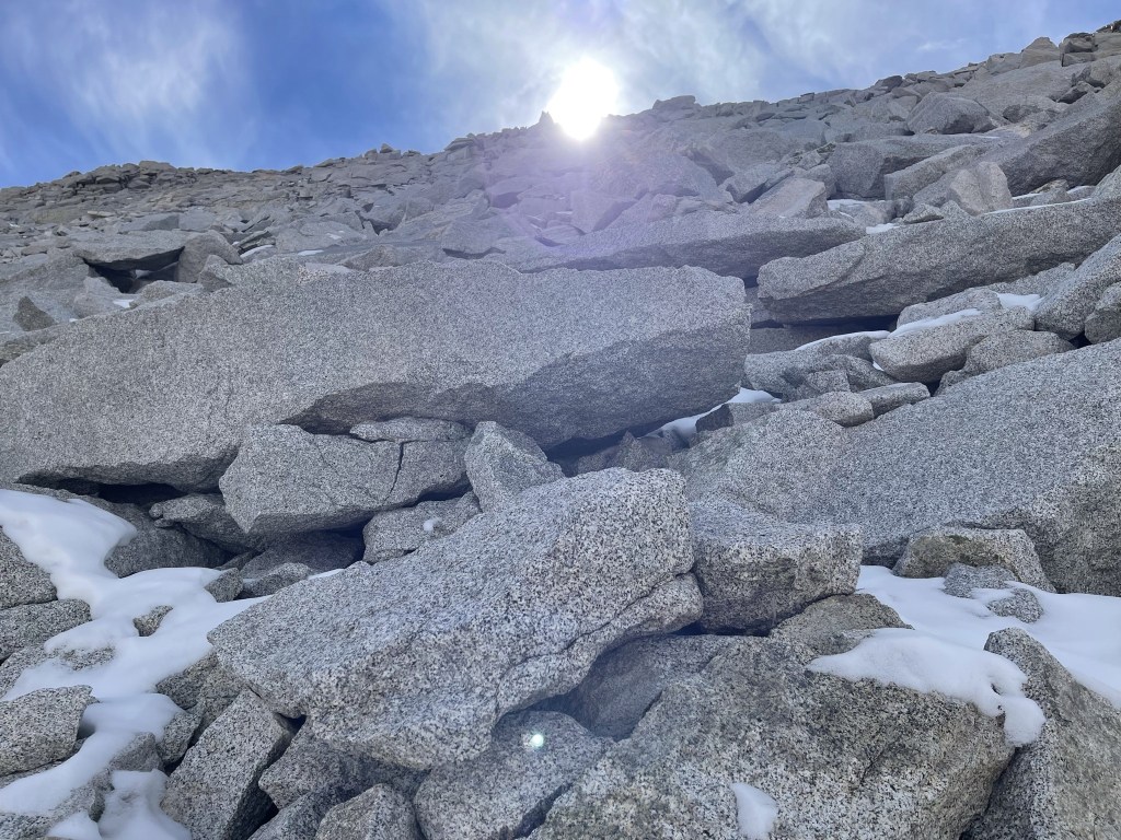
I encountered some larger boulders near the top.

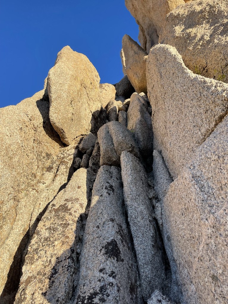
I had to make a few class 3 moves near the summit. This could have been avoided if I had ascended slightly to the west.
Almost there!

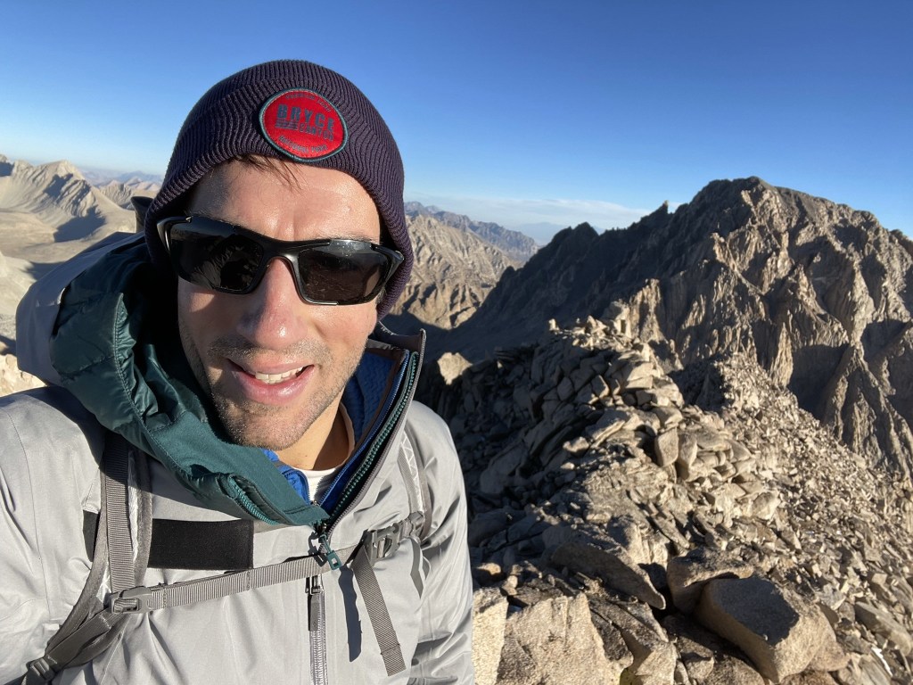
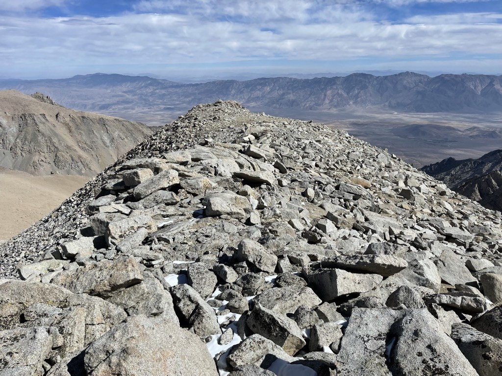
I reached the summit at 7:43am at 1.7 miles!
I signed the register which had been placed in 2014. The most recent entry was from September 27. There was an older book as well that dated back to 2006. The massive form of Mount Williamson dominated the view to the north. Mount Williamson is the second highest mountain in California.

Mount Tyndall (another 14er) to the northwest:

Mount Keith (left) directly north, with Mount Pinchot and the Palisades in the distance:
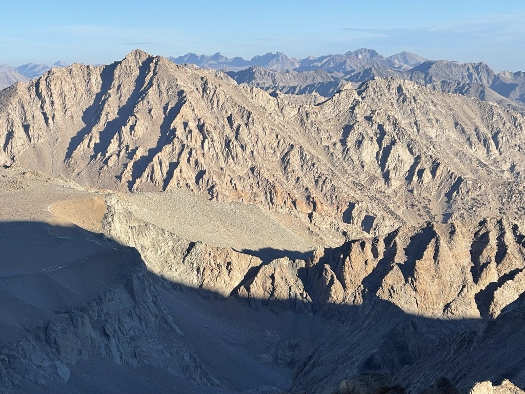
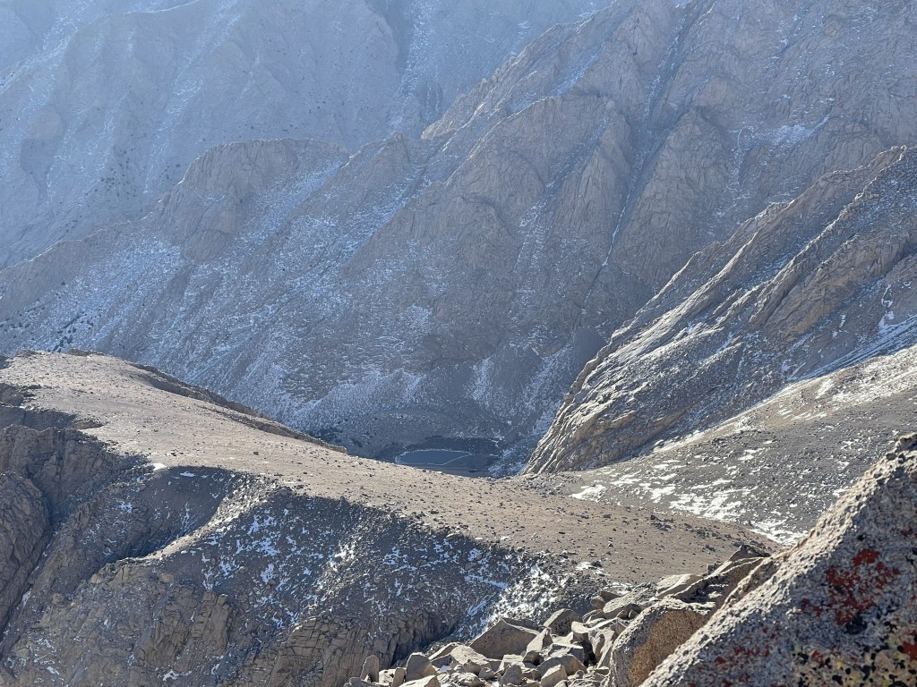
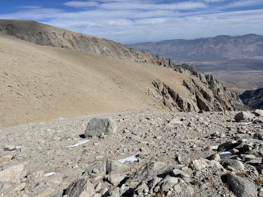
I could see the little lake I had camped at 3000 feet below.
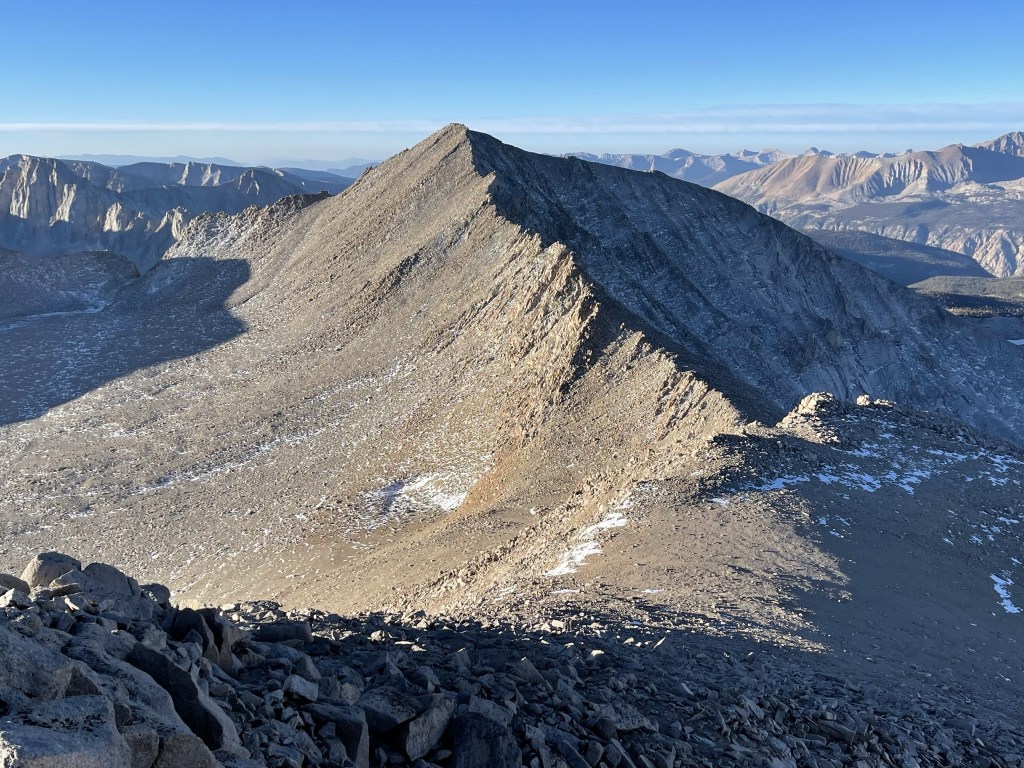
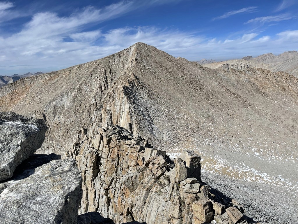
Thankfully the water in my tubing had thawed out in my pack so I was able to drink some water. I began descending to the south towards Barnard after a 15 minute break. Mount Barnard was a little over a mile away. Some people choose to stay on the ridge between the 2 peaks, but the ridge looked a little too spicy for me, so I chose to descend about 1000 feet to the bowl before heading up the east face.
I made my way carefully down the south face of Trojan.

I reached a low point at 12920 feet.
I then climbed up the east face of Barnard.

Similar to Trojan, the slope was made up of relatively stable class 2 talus.
The climbing was tough, but I soon neared the top.

I reached the summit at 9:44am at 3.1 miles!
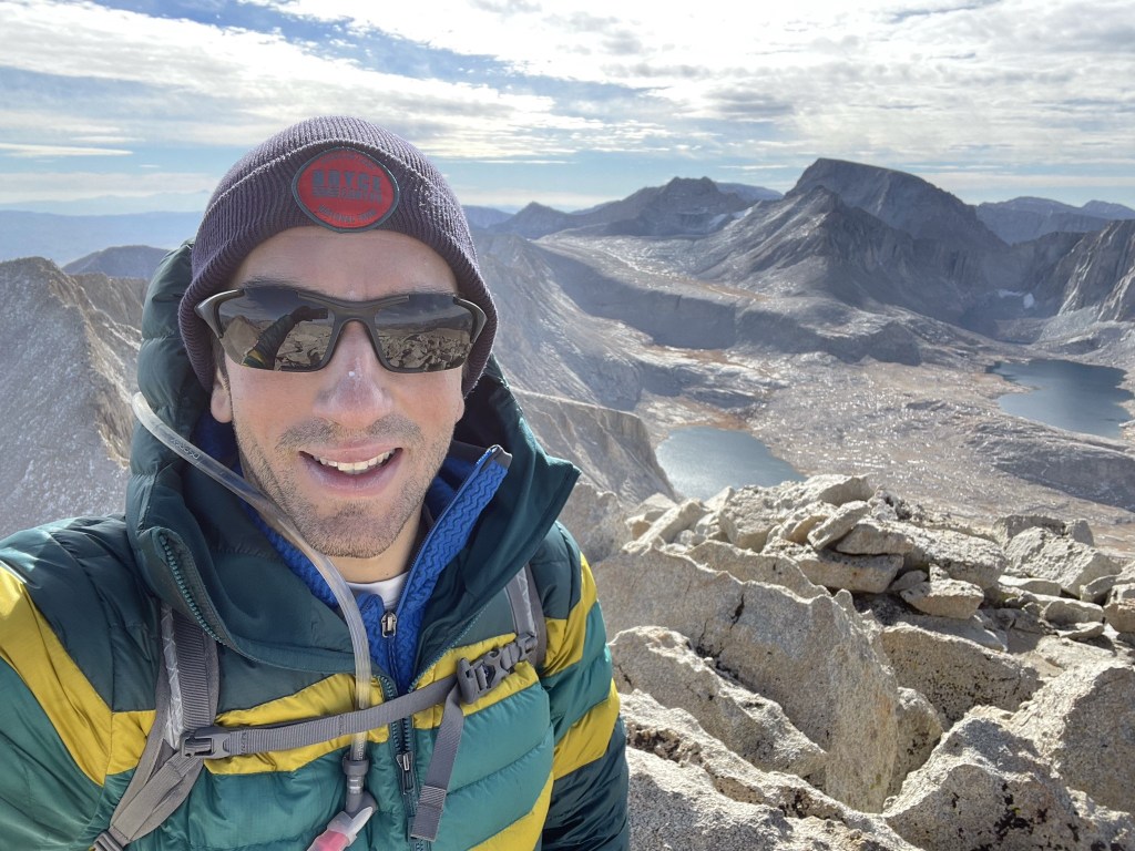
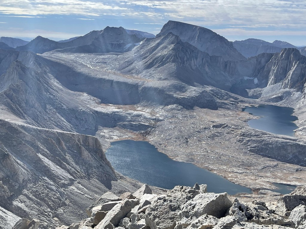
I signed the register which had been placed in 2008. The most recent entry was from August 31. The views were absolutely incredible. To the south I could see Mount Whitney (right center) and fellow 14er Mount Russell (left center). Wallace Lake and Wales Lake are in the foreground.
I could see the Kaweahs to the southwest.

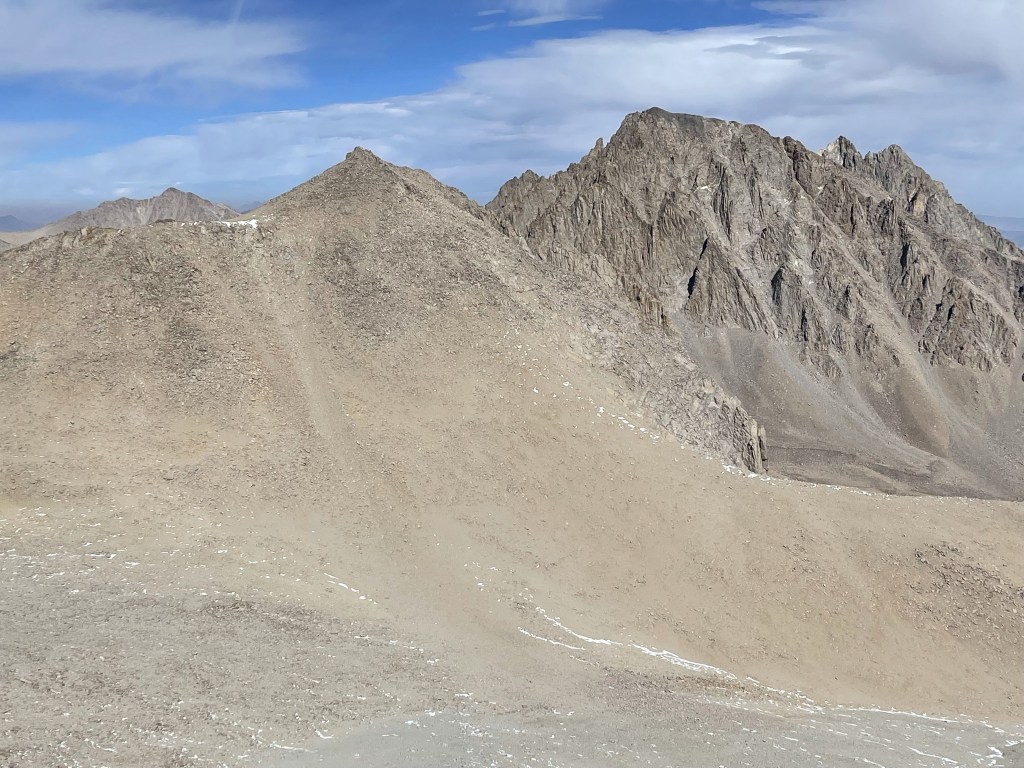
Milestone Mountain, Midway Mountain, Table Mountain, and Thunder Mountain to the west:

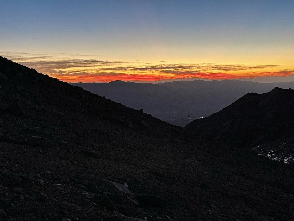
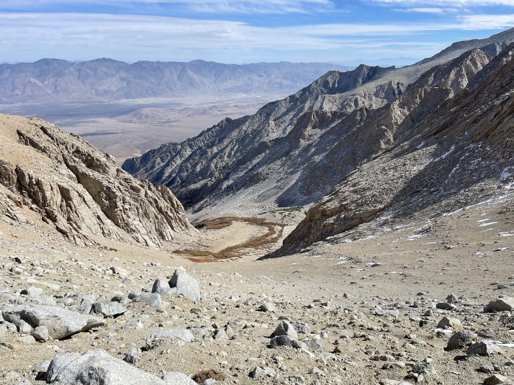
The wind started to pick up which really made it feel cold. My tubing froze once more so I stuffed it into my pack again. I began heading towards East Barnard after a 20 minute break. Similar to the route between Trojan and Barnard, one could lose less elevation by staying on the ridge between the 2 peaks. However, this ridge looked even worse than the previous one so once again I decided to drop down into the bowl.

I reached the low point around 13100 feet. It would only be a 600 foot ascent to East Barnard.
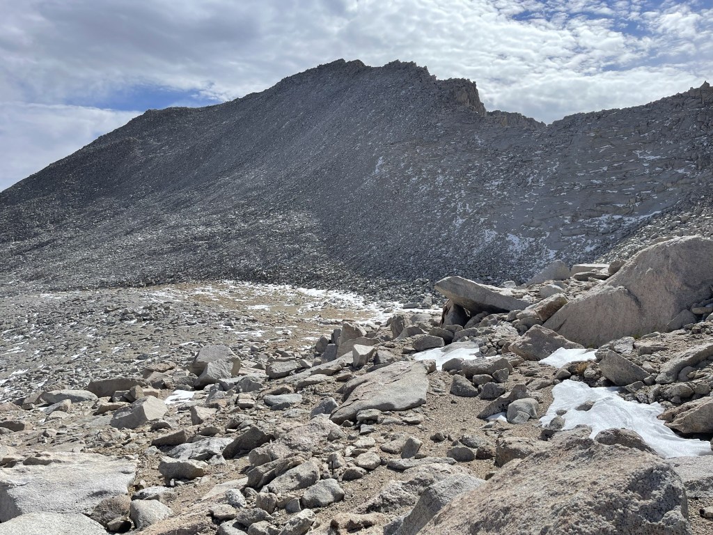
Despite being over 200 feet shorter than the other 2 peaks, East Barnard was the most difficult. The north face had much more snow than the routes up the other peaks, plus the talus was less stable.

All of the climbing above 13000 feet was really starting to wear me out. I was glad this was the final peak of the day.
I gained the ridge at 13600 feet just west of the summit.

I made my way east along the ridge. There were a few parts I had to downclimb to the left to get around. I finally reached the summit at 11:22am at 4 miles! Looking back at Barnard to the west:
Trojan and Williamson to the north:
I began descending after a 15 minute break. I was happy it was before noon, but I knew I still had 8000 feet to descend back to my car.
I descended to the northeast. This part was tedious since I had to be very careful to avoid slipping on the snow. The talus was also very unstable – it felt like every single rock shifted beneath my weight.
This part seemed to go on forever. I finally reached the bowl once again.
I then descended the scree slope I had climbed up in the dark this morning.
This part was fun since I was able to scree surf down it very quickly. I could see the lake in the distance.

I filled up my water from the half-frozen creek.

I reached my camp at 1:06pm at 5.6 miles. It was still a long ways down!

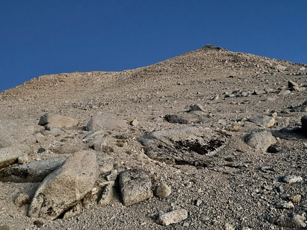
It was finally warm enough to shed most of my layers. I descended down the rocky slope below the lake.
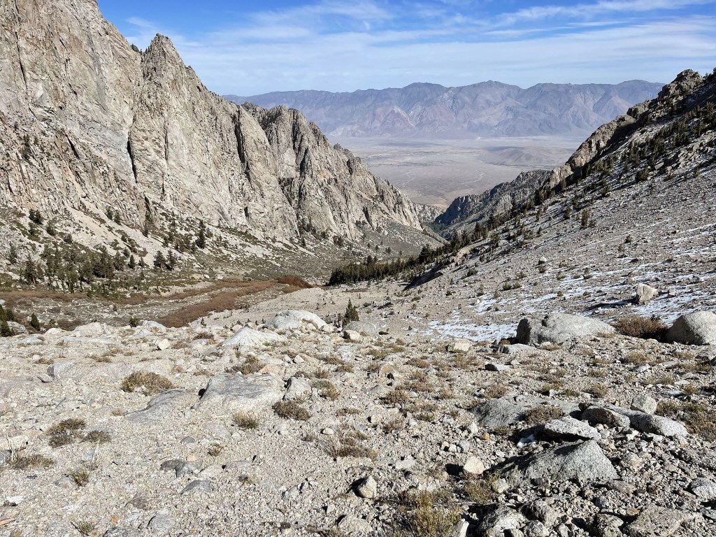
I made good time the rest of the way down the canyon. The steep, unmaintained trail was a little tricky to descend with my heavy pack on. I slept and fell a few times, but thankfully I only suffered a few scratches.
I saw 3 bear poops within a mile of the trailhead. I had seen one the previous day on my way up, so I was already on the lookout. Fortunately, I didn’t see any actual bears. I reached the car once more at 5:11pm. Sunday’s totals were 11.84 miles, 4754 feet elevation gain, and 12:01:46 total time.