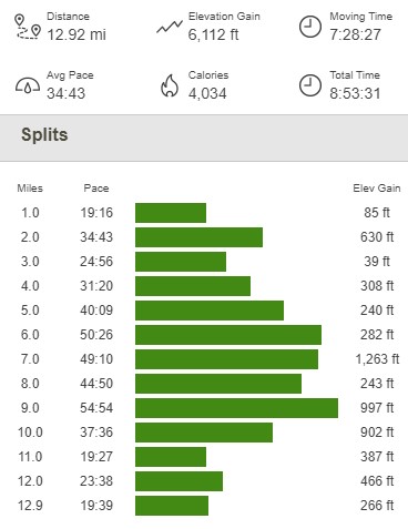
McCain Valley is a desert area in San Diego County between the higher Laguna Mountains on the west and Anza Borrego Desert State Park on the east. It contains the In-Ko-Pah Mountains, which is a small range that tops out at 4647 feet at the summit of Mount Tule. Cooler winter temperatures meant it was finally time to return to the desert and climb the few remaining peaks I had on the San Diego County 100 Peaks List. I had been stuck on 95/100 for quite some time. My most recent outing had been Collins Benchmark and Knob Benchmark the previous April. There were 2 remaining peaks on the list in the McCain Valley area – Groan Benchmark (2732 feet) and Gasp Benchmark (3223 feet). My plan was to do a large counter-clockwise loop climbing Mount Tule, Rozzie Mountain (3679 feet), Groan Benchmark, and Gasp Benchmark. I had previously climbed Mount Tule in January 2019, but it was on the way and didn’t make sense to skip. I also was considering climbing Grunt Benchmark (2144 feet), which is located 1 mile north of Gasp Benchmark and would require re-climbing Gasp in order to complete the loop. I left home at 5:30am and drove about 1 hour 10 minutes to McCain Valley. From McCain Valley Road, I drove 1.2 miles northeast on Sacotone Overlook Road to an intersection with another road heading northwest. Sacotone Overlook Road is pretty rutted, so high clearance is required. My car was showing 28 degrees as I was parking. I began this hike at 6:51am from 3973 feet above sea level. I could see Mount Tule a mile or so to the southeast:

I hiked northeast on Sacotone Overlook Road for 0.3 mile and then turned right at an intersection.

At 0.8 mile I passed a small spur road on the left, but I kept going straight.

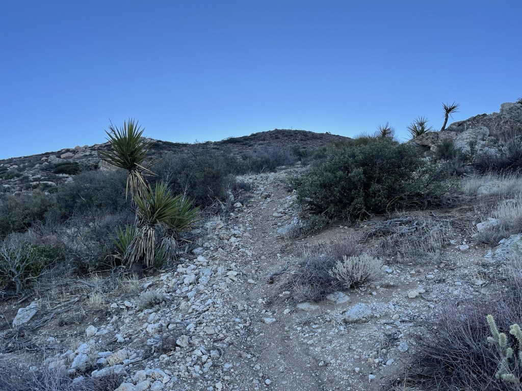
The road got rougher and steeper as it ascended the northwest side of Mount Tule. Eventually the road ended and turned into a single track trail.
I soon reached the top of the ridge and turned south towards the summit.

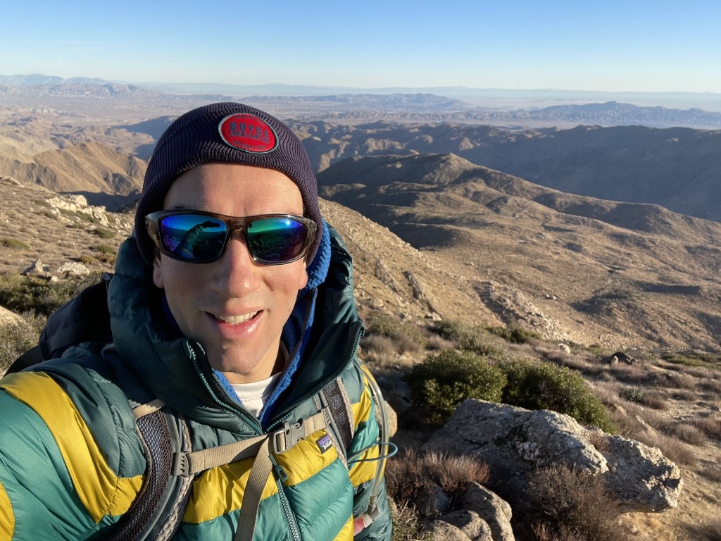
I followed the vague use trail across the ridge and reached the summit at 7:29am at 1.5 miles!
I signed the register which had been placed in 2016. The previous entry was from November 27. The benchmark is missing but I located both reference markers which are mislabeled “Tulle”.


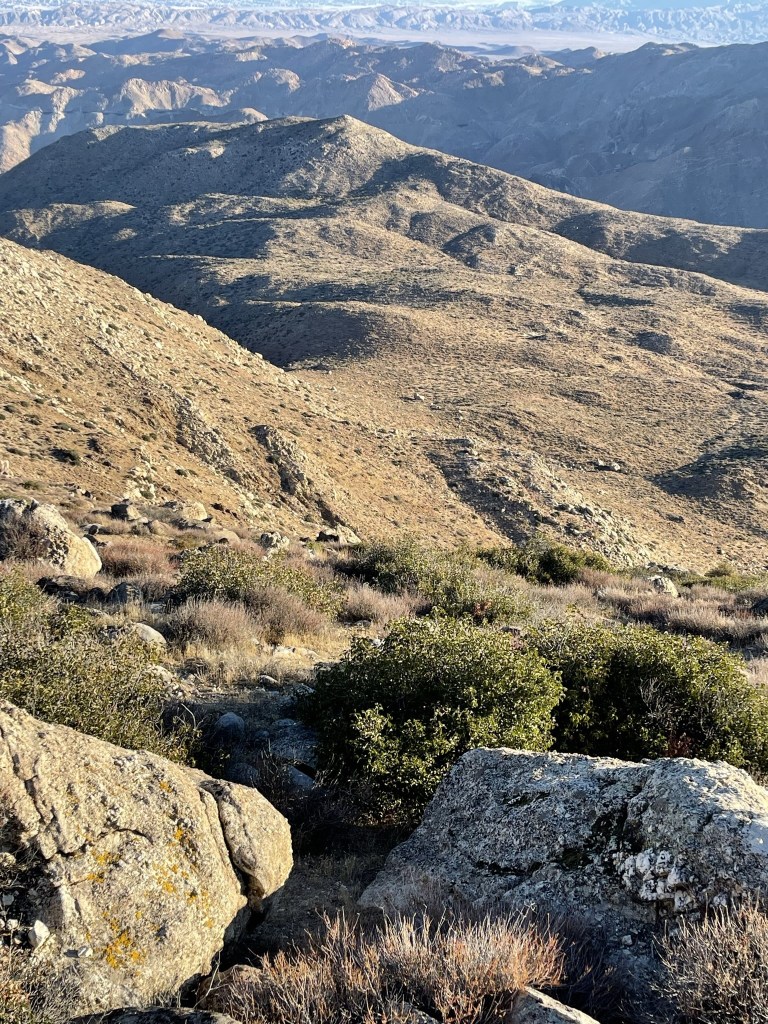
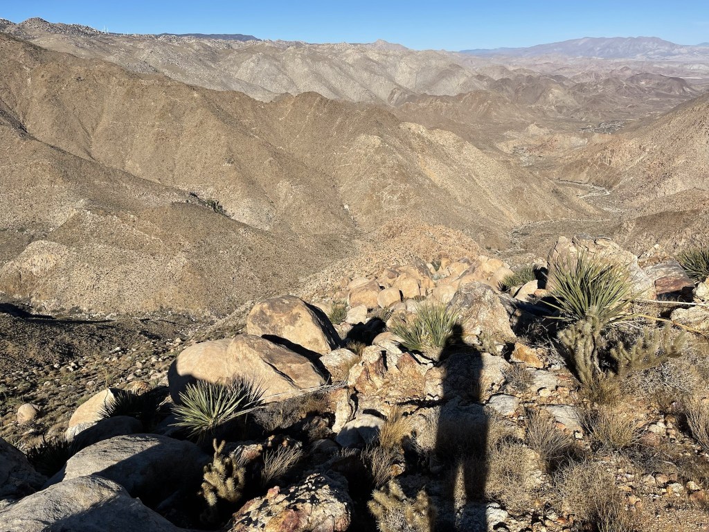
This was the highpoint of the hike, and it was a perfectly clear day. To the east I could see the Jacumba Mountains across Carrizo Gorge.
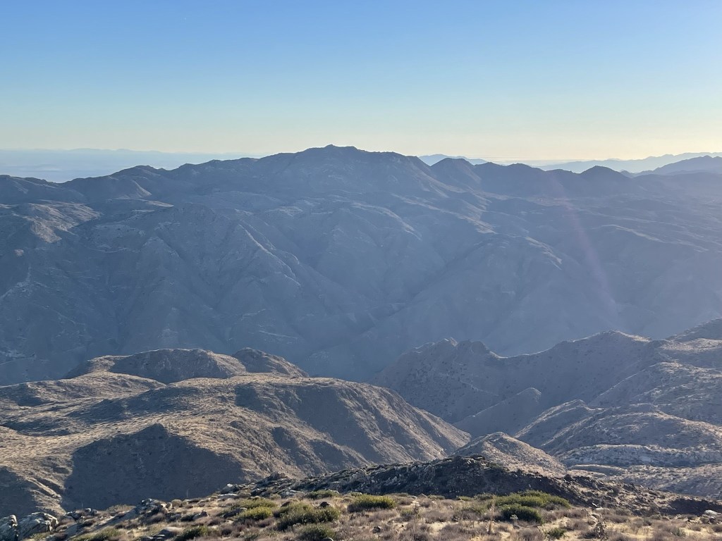
To the north I could see many of the desert peaks of Anza Borrego, including Whale Peak, Toro Peak, and Rabbit Peak.
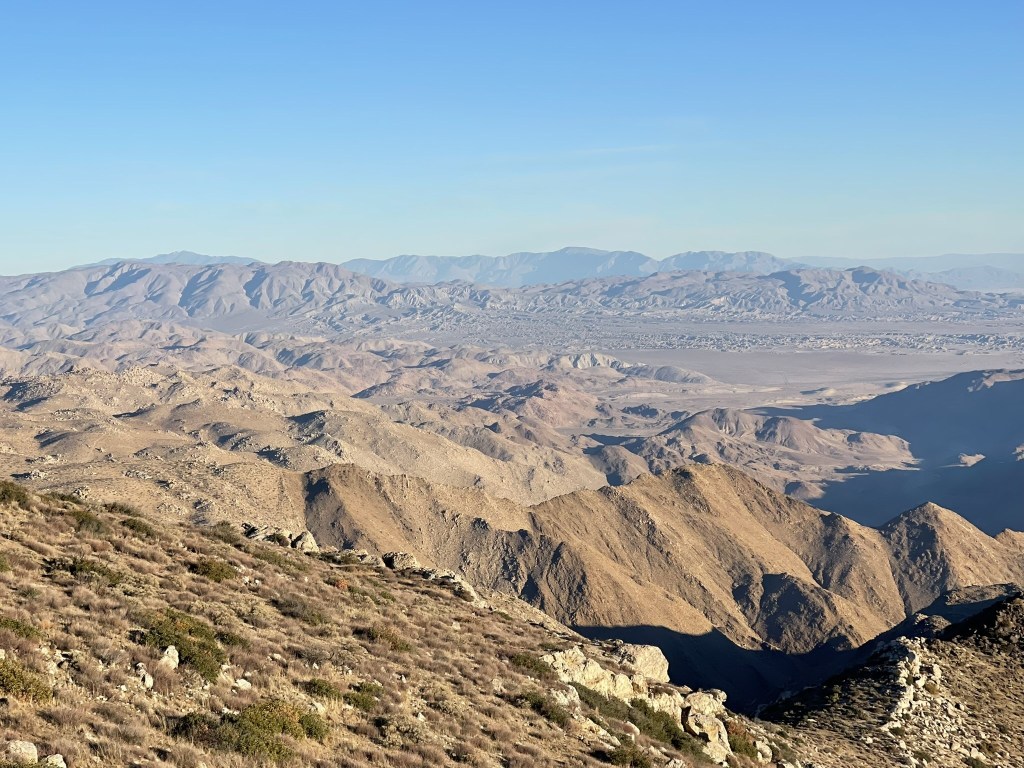
It was clear enough I could see all the way to San Jacinto:
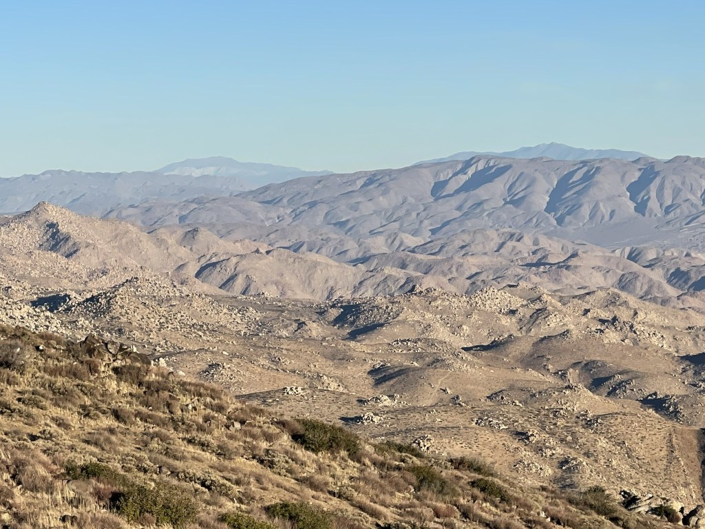
Looking back to the west across McCain Valley:
Tecate Peak and Otay Mountain to the southwest:
I wanted to spend more time enjoying the views, but it was windy on the summit and still freezing cold, so I began descending after a 10 minute break. I went down the northeast side of the peak towards Rozzie Mountain.
Rozzie is about 1000 feet lower than Tule, so I had a lot of descending to do. At one point I slipped and cut up my left hand pretty badly. I reached a saddle at about 3300 feet.
It was a 300 foot climb to Rozzie from there.
I reached Rozzie Mountain at 8:36am at 3.3 miles. This is looking back to the southwest at Mount Tule:
There are no survey markers on Rozzie Mountain, and I did not find a register. I continued hiking northeast towards Groan Benchmark.

Groan is 900 feet lower than Rozzie, so I had more descending to do. There is a fairly gentle ridge between the 2 peaks, so I made good time. I crossed the boundary into Anza Borrego Desert State Park at some point along the ridge. I reached a saddle around 2400 feet.
I then made the 300 foot climb to Groan.
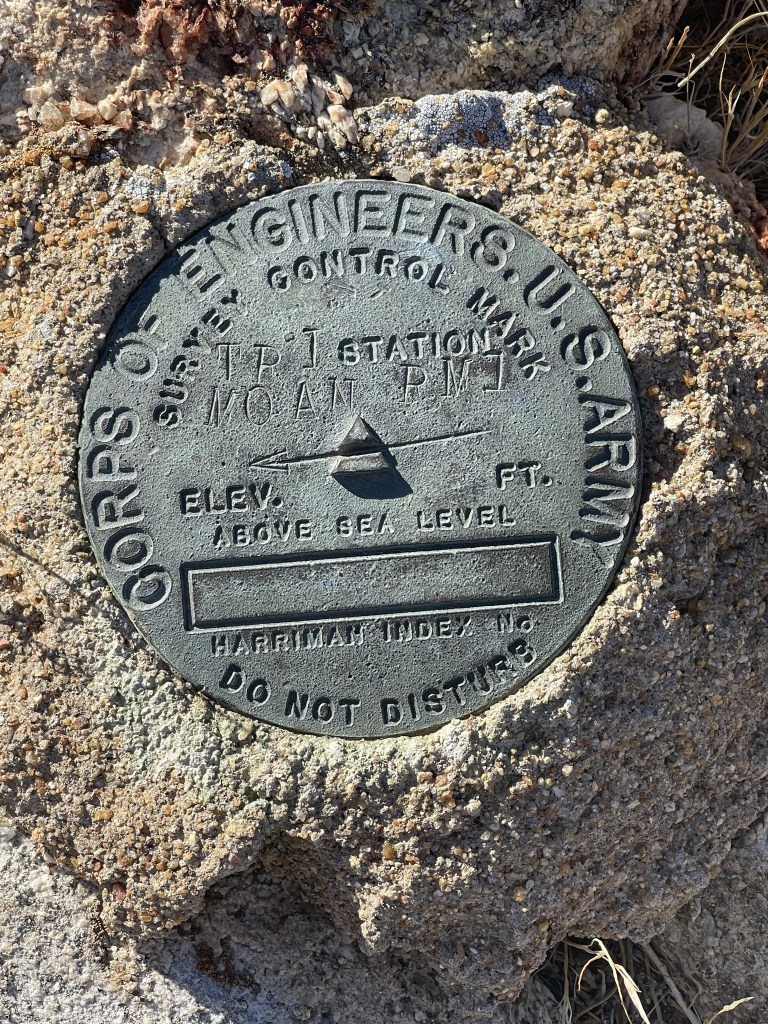
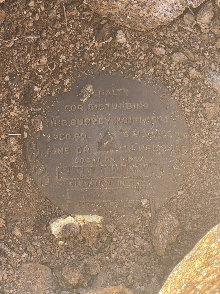
I reached Groan Benchmark at 9:28am at 4.6 miles! I signed the register which had been placed in 2014. The previous entry was from November 9. The benchmark is located on a random pile of rocks and not on the highpoint of the ridge. It is certainly one of the more underwhelming “peaks” on the San Diego 100 Peaks List. I could not find the benchmark, but I did locate 2 reference markers, which are incorrectly labeled “Moan”. The real Moan Benchmark is located on the east side of Carrizo Gorge and is labeled “Groan”. I would be interested to find out how that got screwed up.

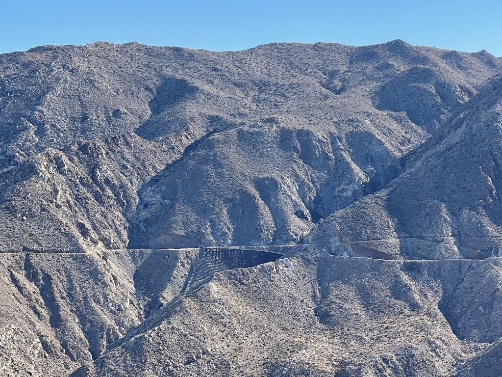
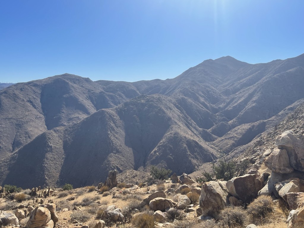
I had an excellent view of Carrizo Gorge and could plainly see the old San Diego and Arizona Eastern Railway, often referred to as the “Impossible Railroad”.
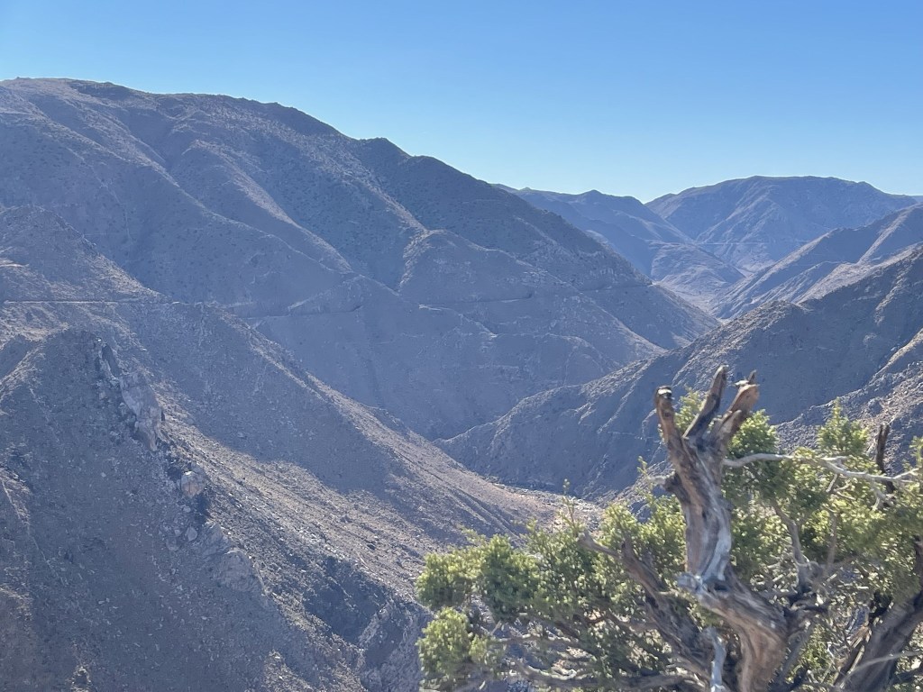
Directly east I could see Goat Canyon Trestle, the largest wooden trestle in the world. I’ve seen it up close before and can confirm it is a very impressive sight.
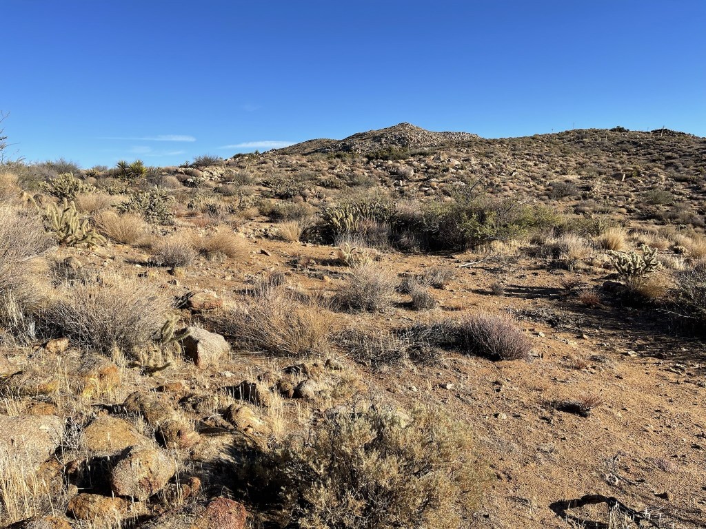
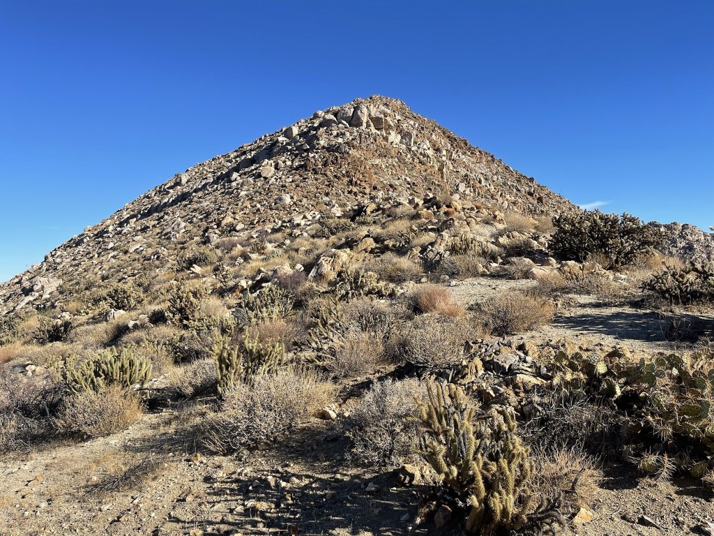
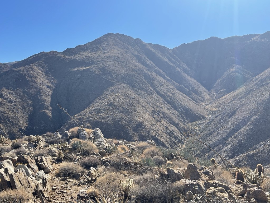
Next up was Gasp Benchmark. Although Gasp is higher than Groan, the 2 benchmarks are separated by a fairly deep canyon so that meant more descending.
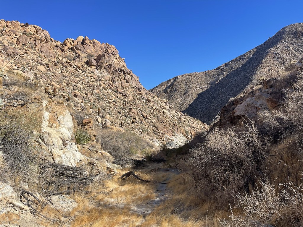
I climbed down the steep ridge northwest of Groan. There were some large boulders on the ridge, so this was probably the most difficult and tedious part of the hike. Eventually I reached the canyon bottom at 5.4 miles at about 1600 feet. I had descended over 3000 feet from the summit of Mount Tule. It was pretty warm in the canyon.
I turned west as I began climbing out of the canyon. There were some small sections of teddy bear cholla on the ridge to Gasp.
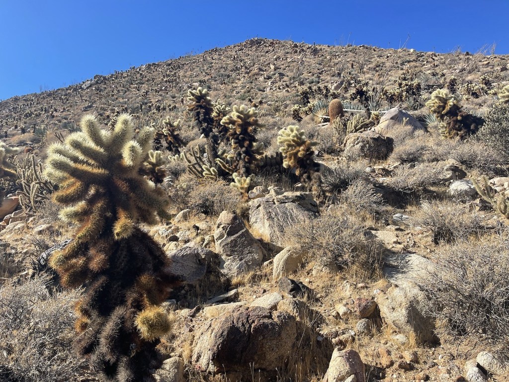
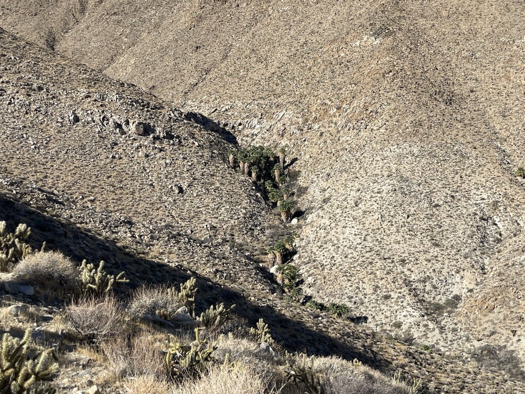
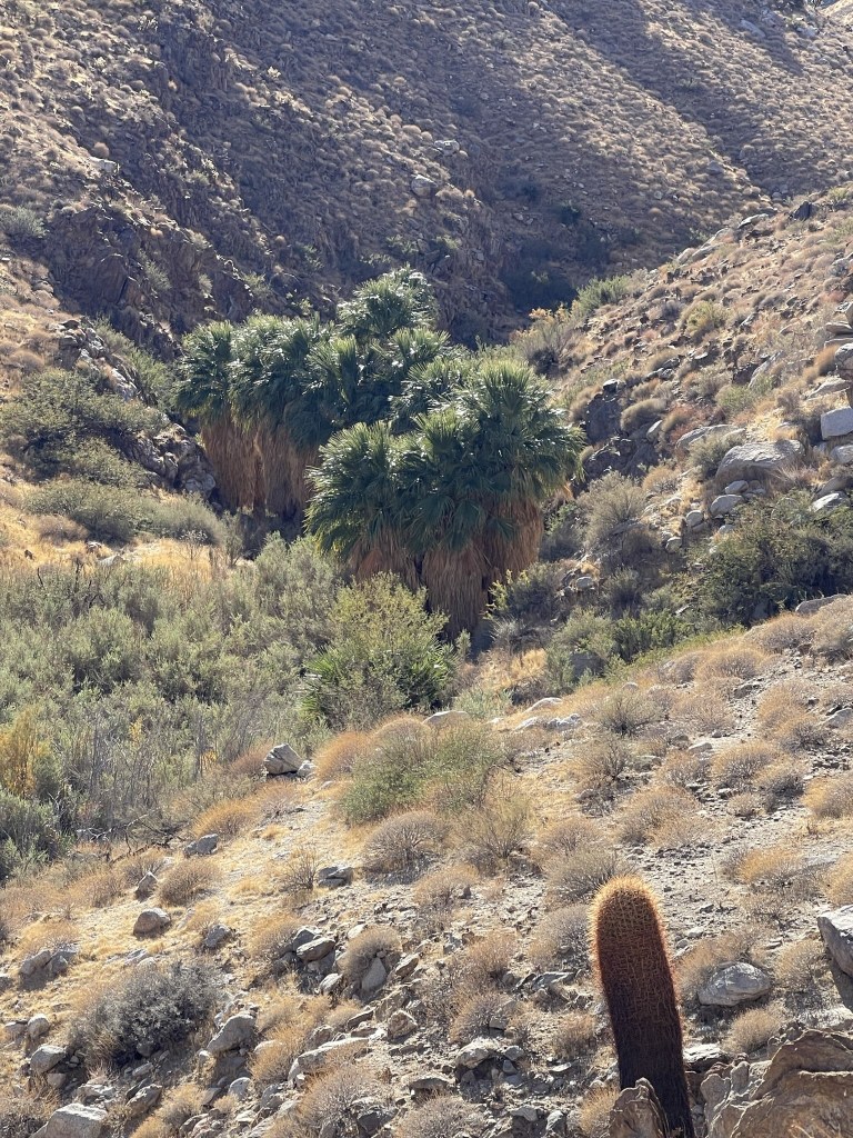
Thankfully I did not accidentally step on or brush against any cholla pods. I spotted some palm trees in a nearby canyon to the north.
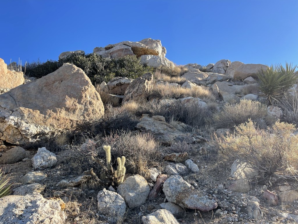
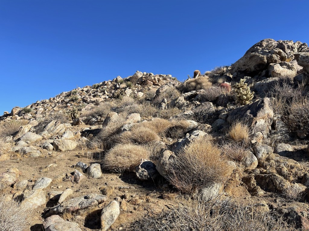
I crossed a minor saddle and then continued up the ridge to Gasp. There were a few ups and downs along the ridge.
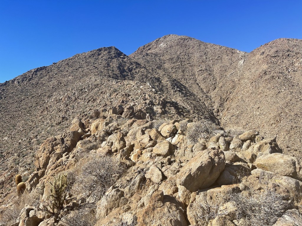
The ridge was very steep, but the footing was solid so I made good time.

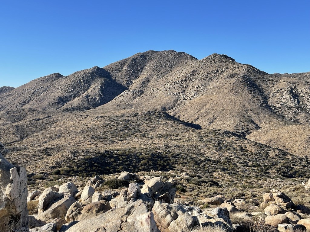
I reached Gasp Benchmark at 11:30am at 6.7 miles! Similar to Groan, Gasp Benchmark is located on a random pile of rocks instead of a highpoint along the ridge. I was pretty excited to have climbed my 96th and 97th peaks on the San Diego 100 Peaks List. Only 3 more to go! I signed the register which dated back to 1995. The previous entry was from November 11. I did not locate the benchmark or any reference markers. I had a good view of Tule (right) and Rozzie (left) to the south:
To the east I had a good view of the railroad with Carrizo Mountain in the distance.

It wasn’t even noon and I was feeling good, so I decided to add Grunt Benchmark to my hike. Reaching Grunt would require another steep descent into a canyon before climbing up to reach the peak. I began the descent to the north.

The terrain was friendlier on this ridge than the descent from Groan. I could see more palm trees in the canyon below.
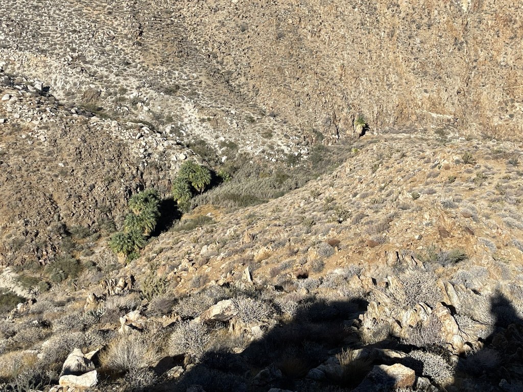
I reached the canyon bottom at 7.7 miles at 1588 feet, which was the lowest point on the hike. There was a lone palm tree.

The larger grove of palm trees I had spotted from above was a short distance up the canyon to the north.
I had to climb 600 feet to reach Grunt. The slope was steep and somewhat treacherous due to loose rock and cacti.

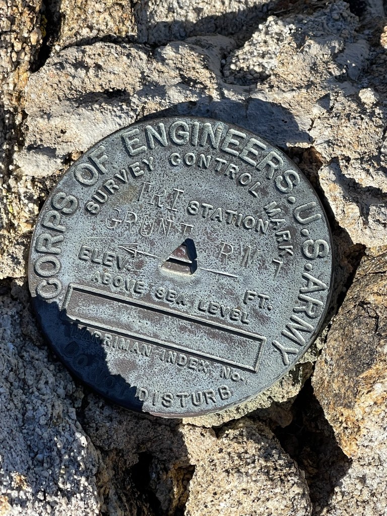
I reached Grunt Benchmark at 12:41pm at 7.9 miles! I signed the register which had been placed in 2018. This is a very obscure peak so there were very few entries. However, I was shocked to see a signature from earlier this same day. I figured they must have hiked from the north, since Grunt is typically climbed from Carrizo Gorge Road which can be accessed from Highway S2. The benchmark was located underneath the register in a pile of rocks. I also found one reference marker.
Looking south back up at Gasp Benchmark, about 1100 feet higher:
I now had to retrace my steps back to Gasp Benchmark. I descended the steep slope back into the canyon and then climbed 1700 feet back up to Gasp. I then followed the ridge to the west as I continued to gain elevation.

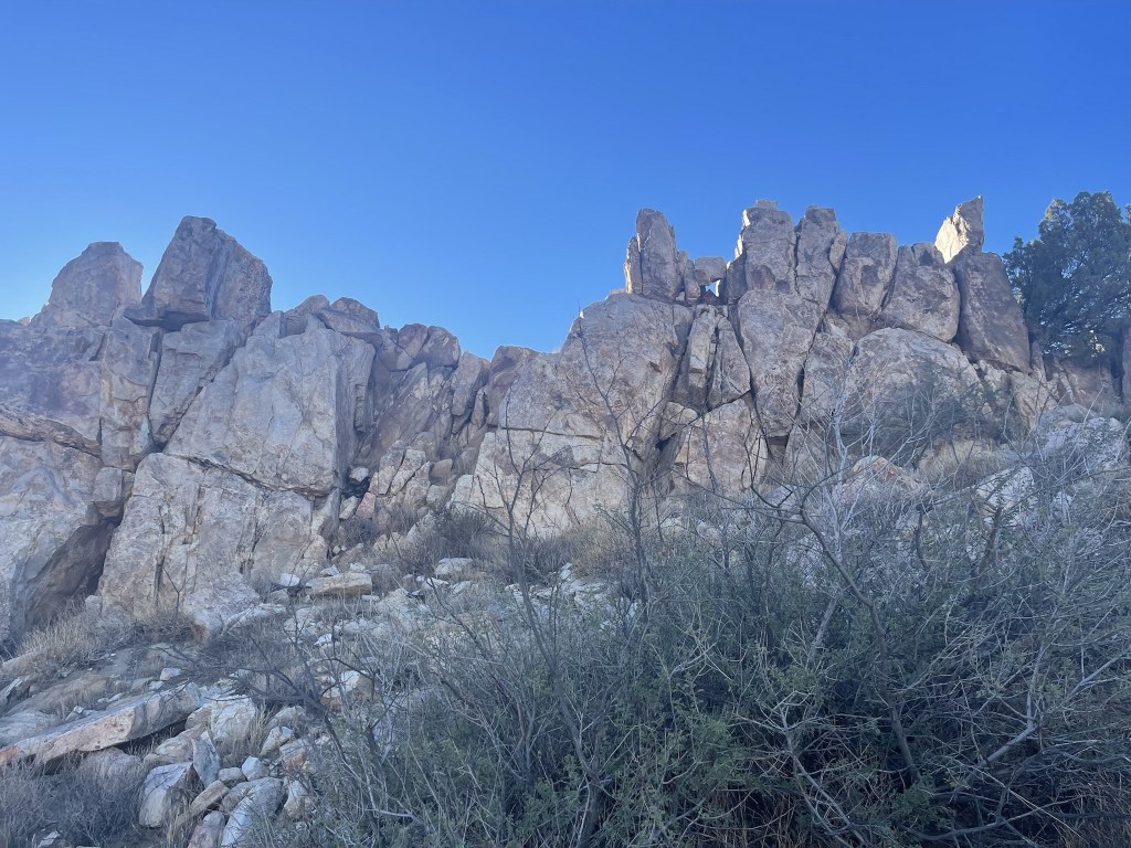
There were some fun rocky sections on the ridge.
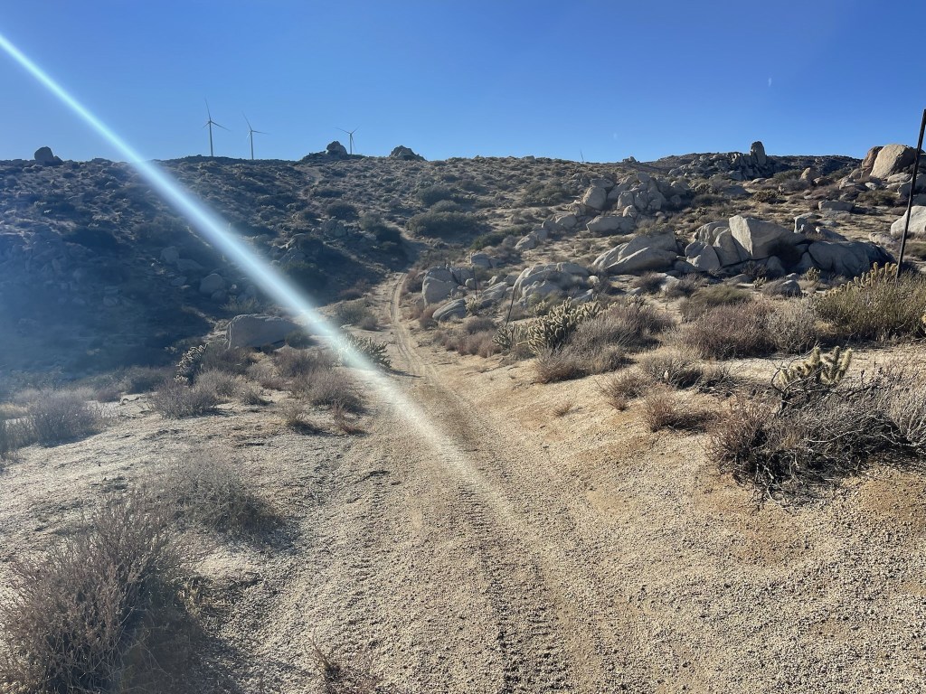
Eventually I reached a road 9.8 miles. I still had a few miles to go but I was able to stay on roads the rest of the way.
I turned left onto another road, hiked south across Redondo Flat, and then turned left again. I finally reached the car once more at 3:44pm. This hike totaled 12.92 miles, 6112 feet elevation gain, and 8:53:31 total time.