Mazourka Peak
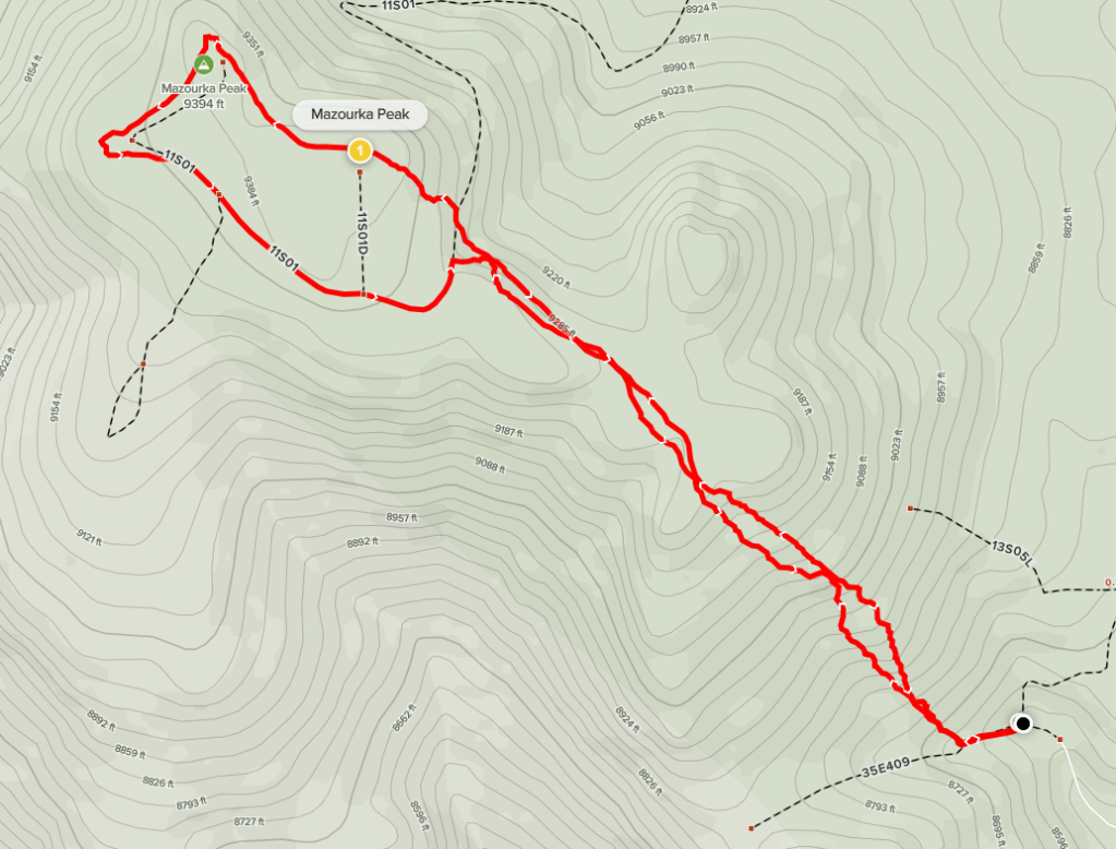
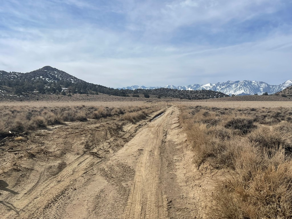
I was on my way up to Mammoth for a 4 day winter mountaineering course, so I decided to tackle a few desert peaks along the way. I had left San Diego the night before and slept a few miles off Highway 395 south of Ridgecrest. My plan for the morning was to start with 9413 foot Mazourka Peak, which is located in the Inyo Mountains between Independence and Big Pine. One can drive all the way to the summit on a fairly good dirt road, but I planned to park a little below and hike a few miles to the top. From Highway 395 in Independence, I turned right (east) onto Mazourka Canyon Road and drove about 17 miles before parking. The road starts out paved for a few miles and then becomes dirt. The road is in excellent shape and passable for any high clearance vehicle. You could possibly get a passenger car up there if you really wanted to. I began hiking at 7:08am from 8569 feet above sea level. The temperature was 26 degrees.
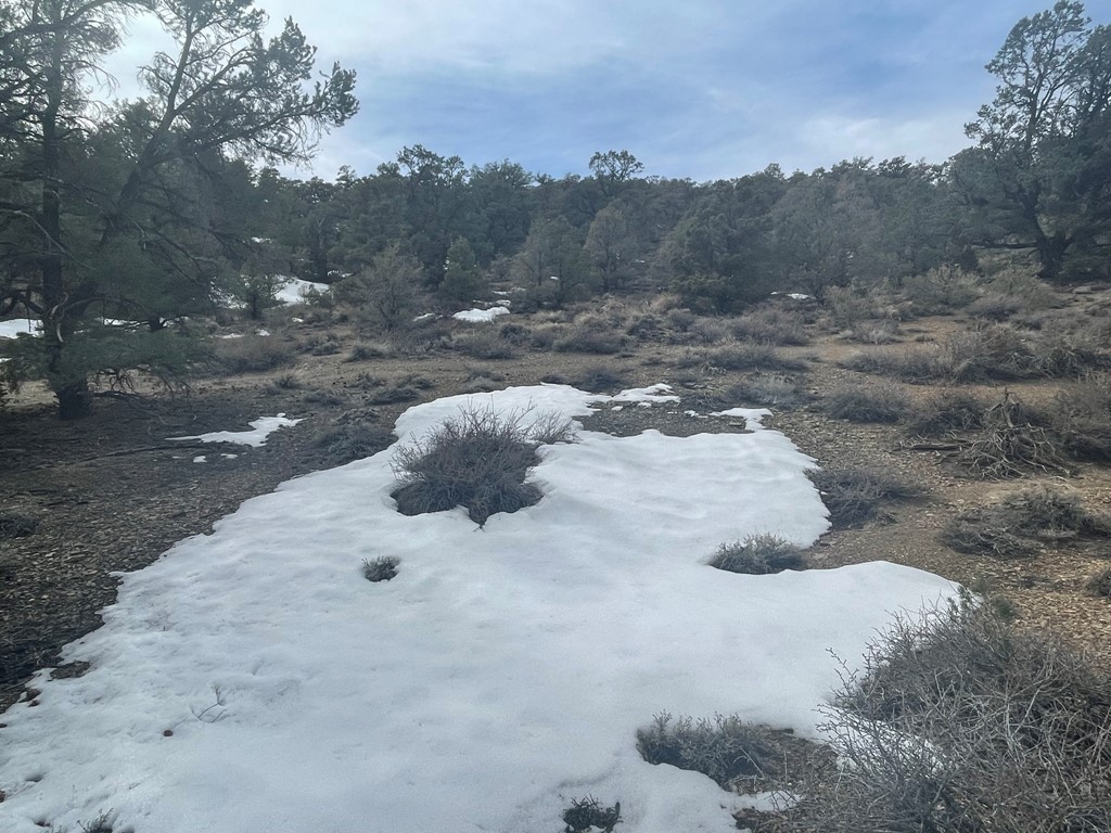
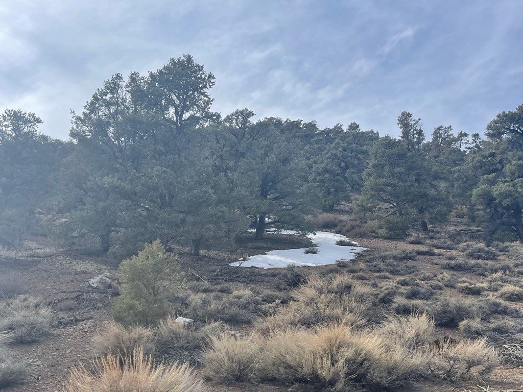
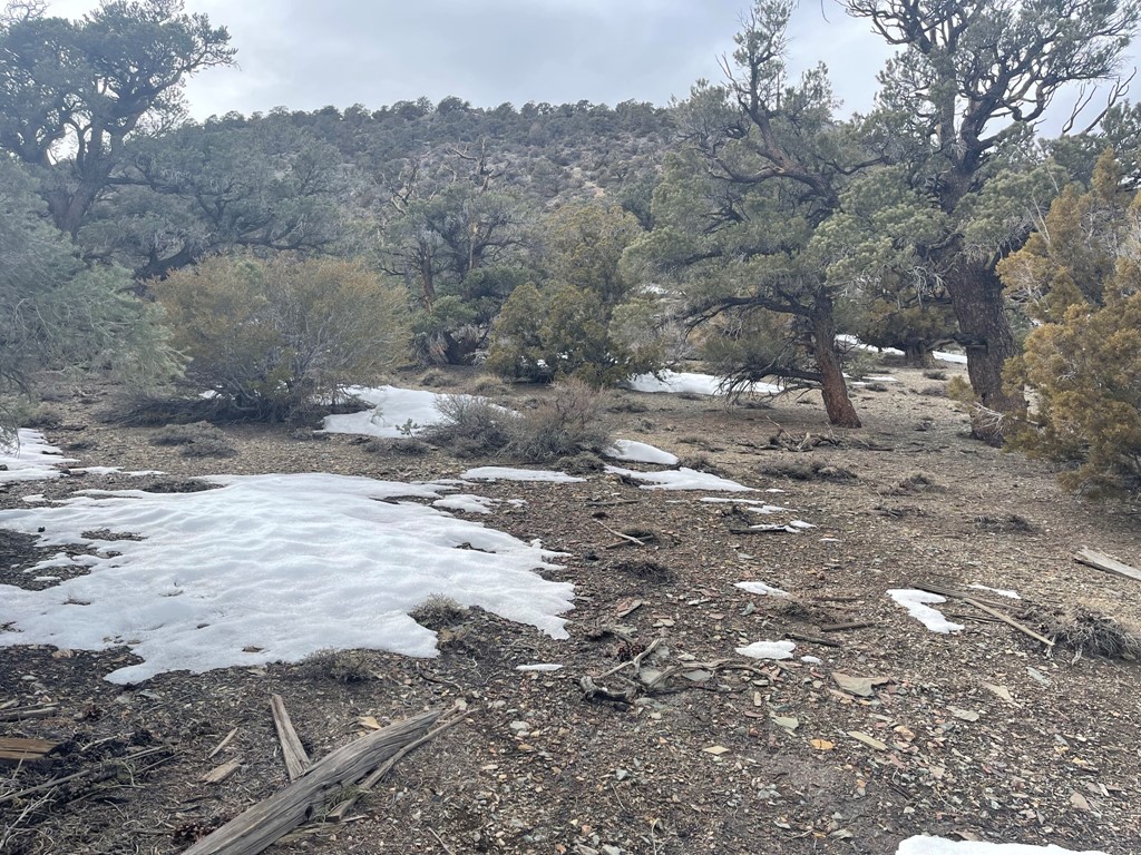
I first hiked west on a side road (35E409) for a short way. There was some snow on north facing hillsides.
I then turned right and hiked northwest up the pinyon pine covered hillside. I could have hiked all the way to the top on the main road, but I decided it would be more fun to take a cross country route.
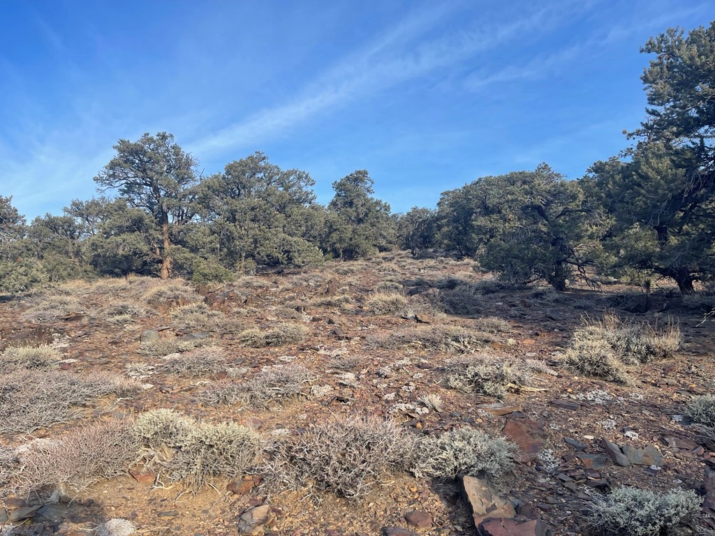
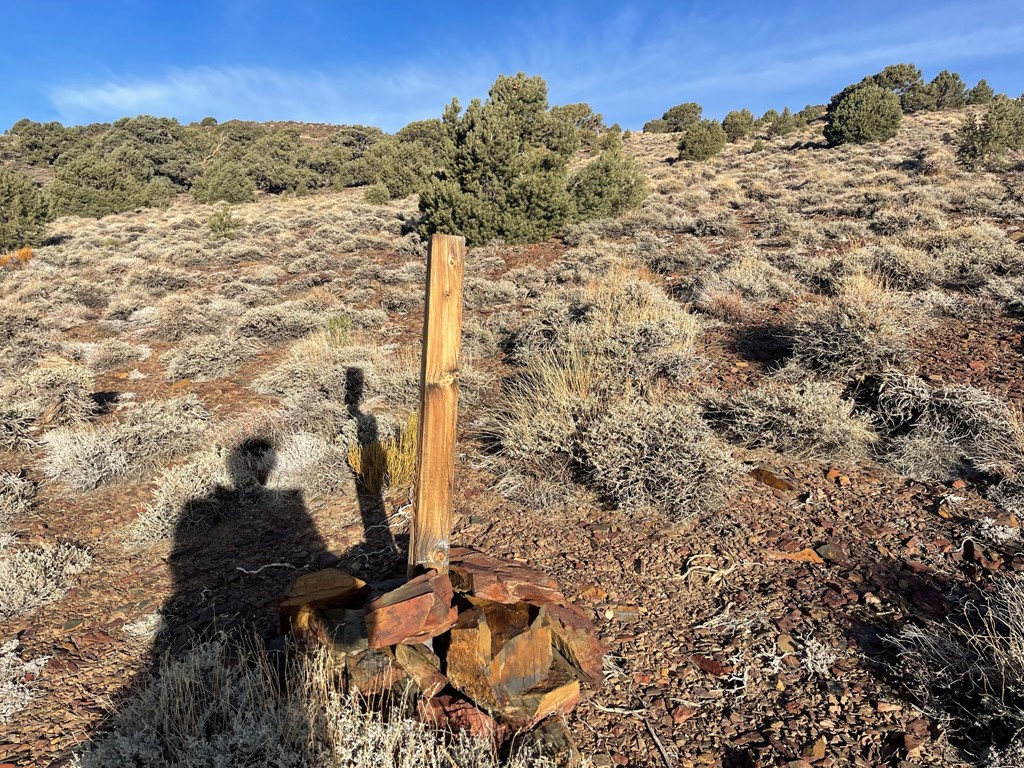
I noticed a number of rock piles with wooden posts sticking out of them.
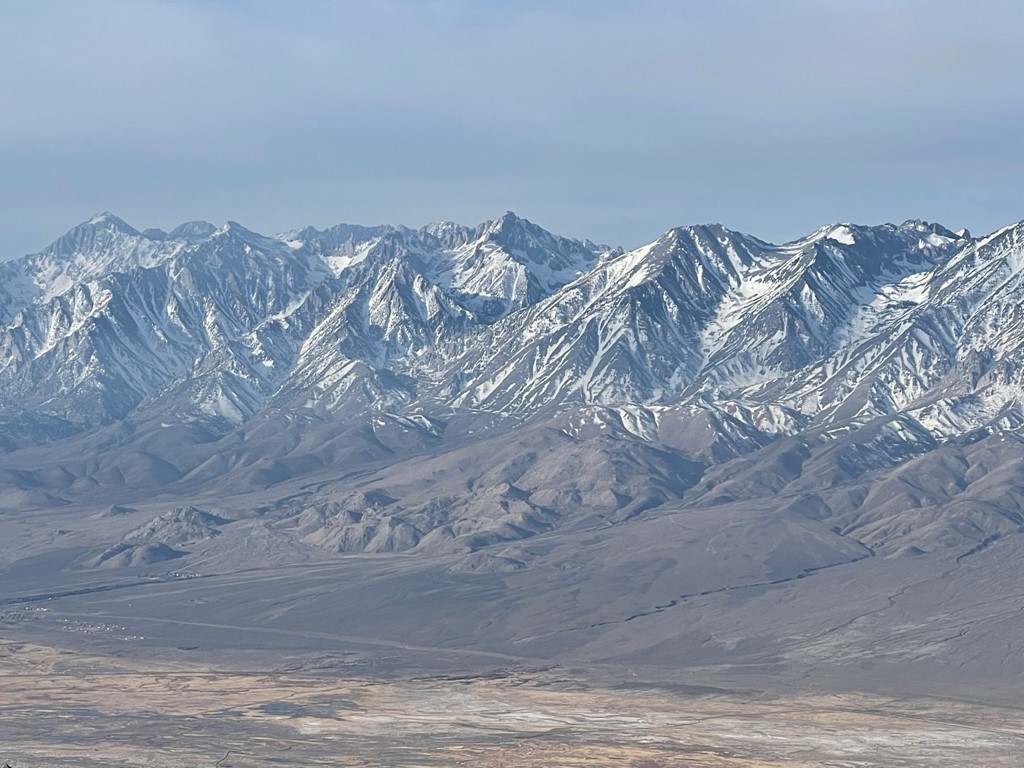
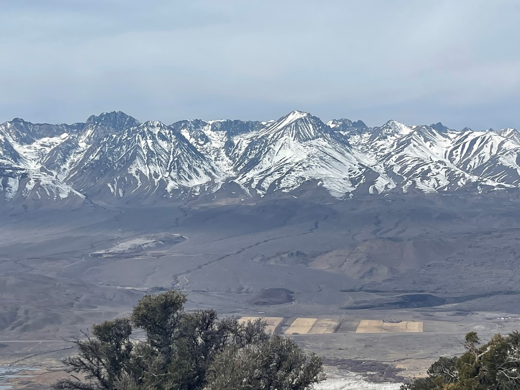
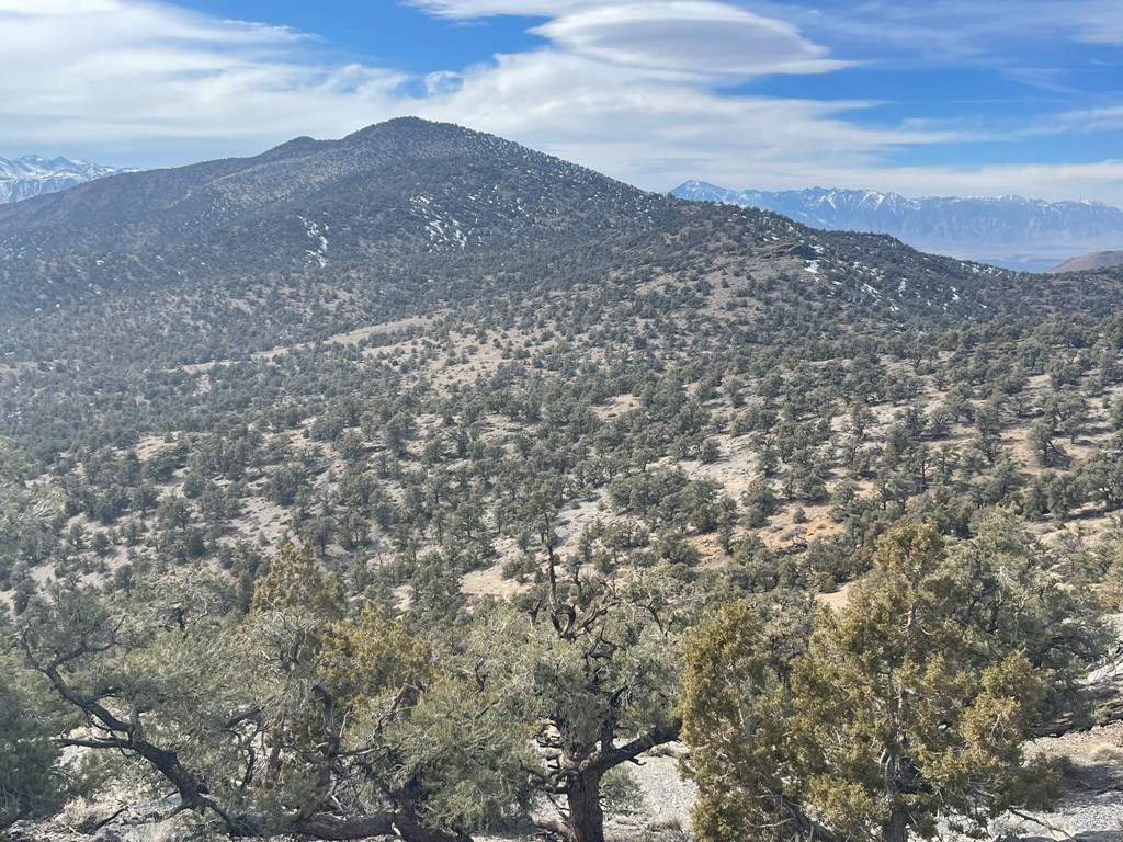
I reached the top of a small rise, and the summit came into view.
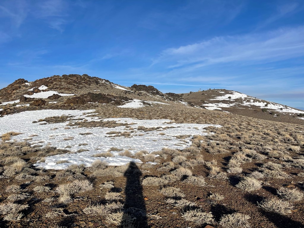
I crossed the road and then hiked up the final slope to the summit.

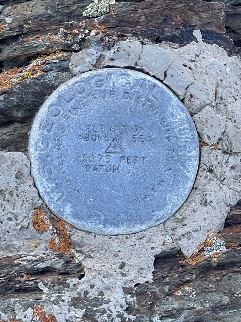
I reached the summit at 7:47am at 1.2 miles! There were actually 3 bumps competing for the highpoint. The east bump, which I was on, appeared to be the highest. I did not locate a register but there was a pencil inside a can. There was plenty of communication equipment and solar panels on each of the bumps (hence the good road to the top).

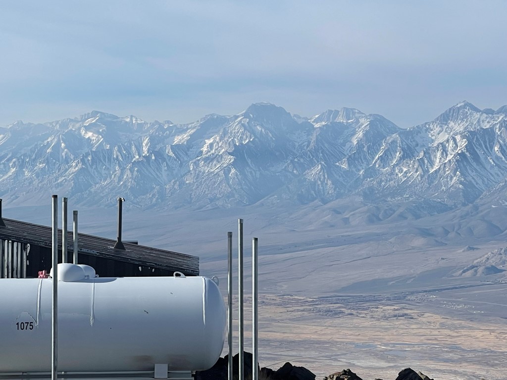
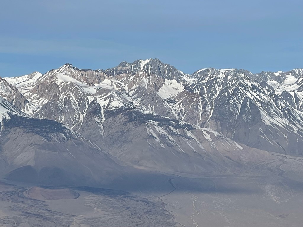
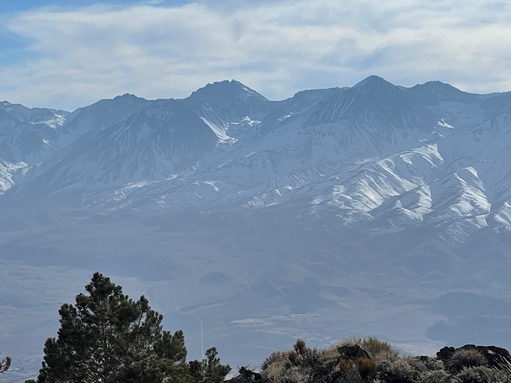
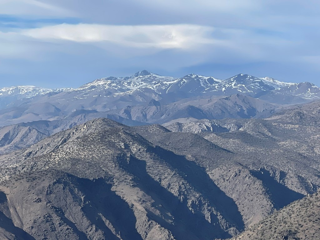
I hiked over to the northern bump, which is where Mazourka Peak is marked on the map. I thought it was pretty obvious that the eastern bump was higher. I then walked over to the western bump, which was clearly the lowest. However, the western bump had the best views of the Sierra. Looking SSW I could see Mount Whitney, Mount Williamson, Mount Tyndall, and Mount Keith.
To the southwest I could see Mount Bradley, University Peak, Kearsarge Peak, and Mount Gould.
The most stunning view was of Split Mountain directly west.
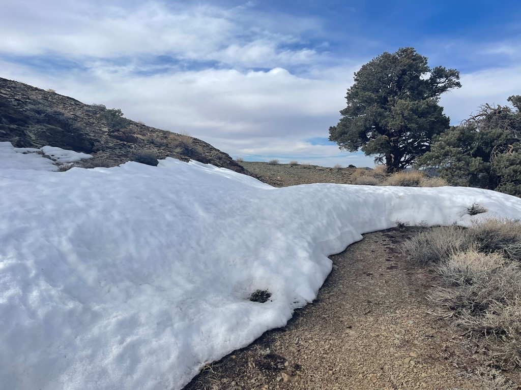
I got on the road for a short way and then hiked down the snowy slopes back to the car.

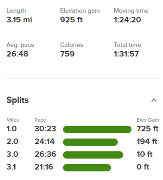
I reached the car at 8:40am. Stats for this hike were 3.15 miles, 925 feet elevation gain, and 1:31:57 total time.
Harkless Peak
Next up was Harkless Peak, a 7600 foot peak located about 9 miles north of Mazourka in the Inyo Mountains. The drive would be much longer though. I drove back to Independence, went north on Highway 395 to Big Pine, east on Highway 168, southeast on Death Valley Road, and then southwest for several miles on Forest Road 9S13 to Harkless Flat. This road was in good shape and passable for any high clearance up to where I parked. There was a section of deep sand just beyond my parking spot that might be tough for some vehicles. I possibly could have driven further but it was going to be a short hike and I was already very close. I started hiking at 10:38am from 7261 feet. The temperature had warmed up into the mid-50s.
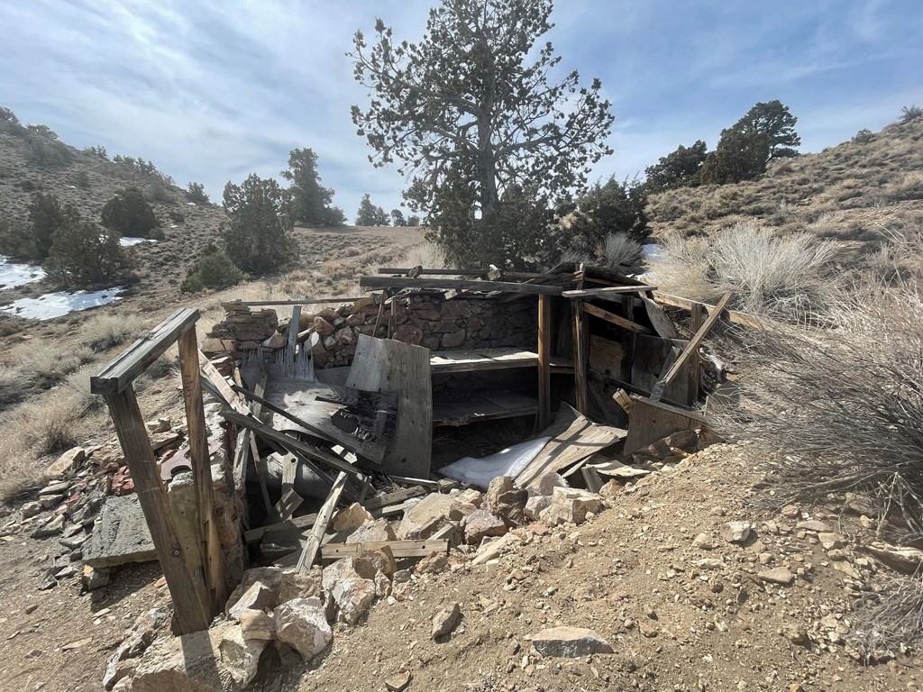
I hiked east on the dirt road until reaching an old miners cabin at 0.8 mile.
I turned right and hiked northwest up the hillside.
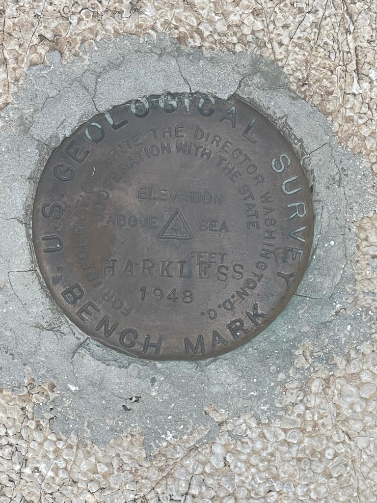
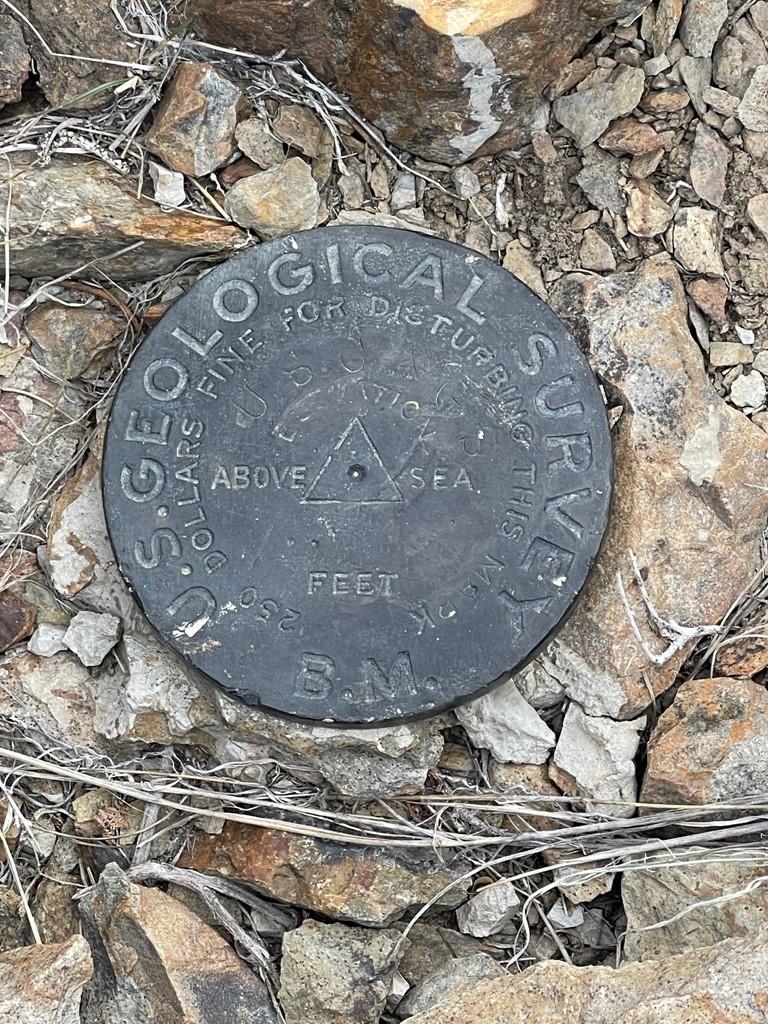
I reached the summit at 11:07am at the 1 mile mark. I couldn’t find a register, but I did locate a benchmark.
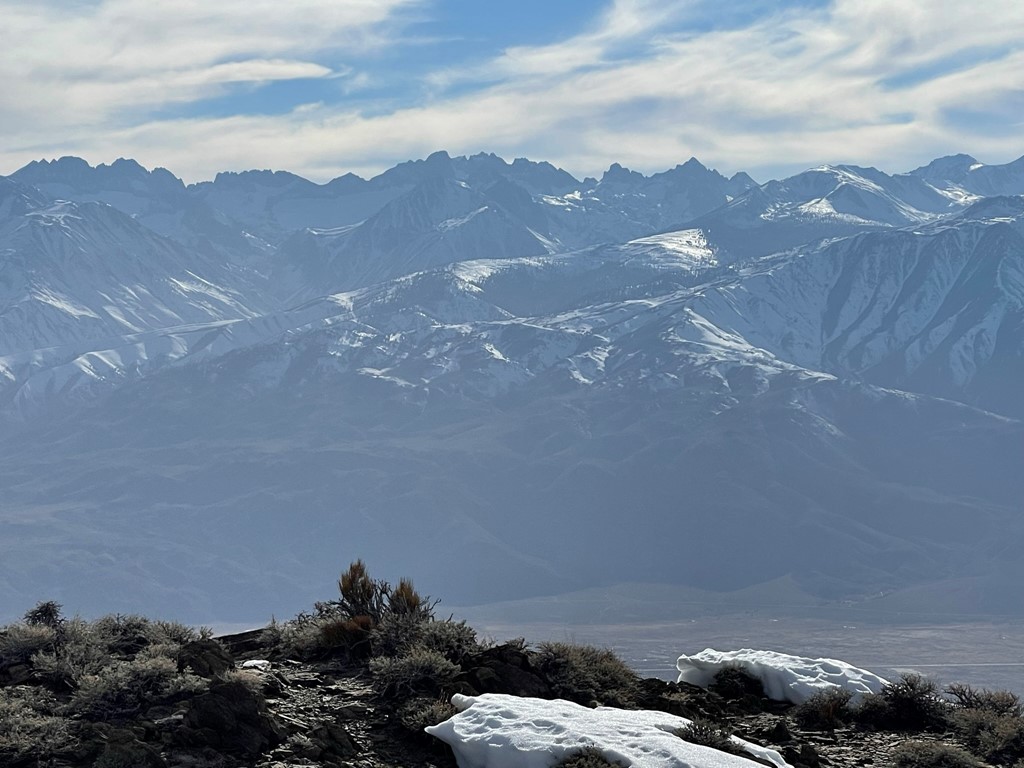
To the west I could see Split Mountain, Birch Mountain, Middle Palisade, and North Palisade.
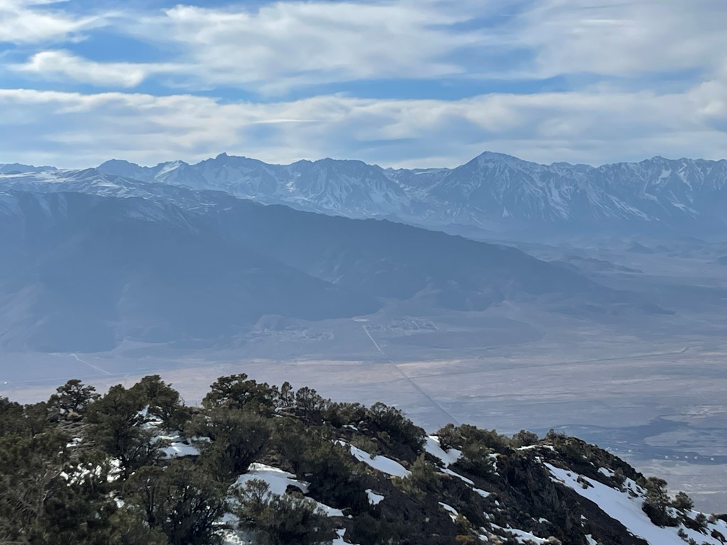
To the north I could see Black Mountain (left), which would be my next destination, and White Mountain Peak (right).
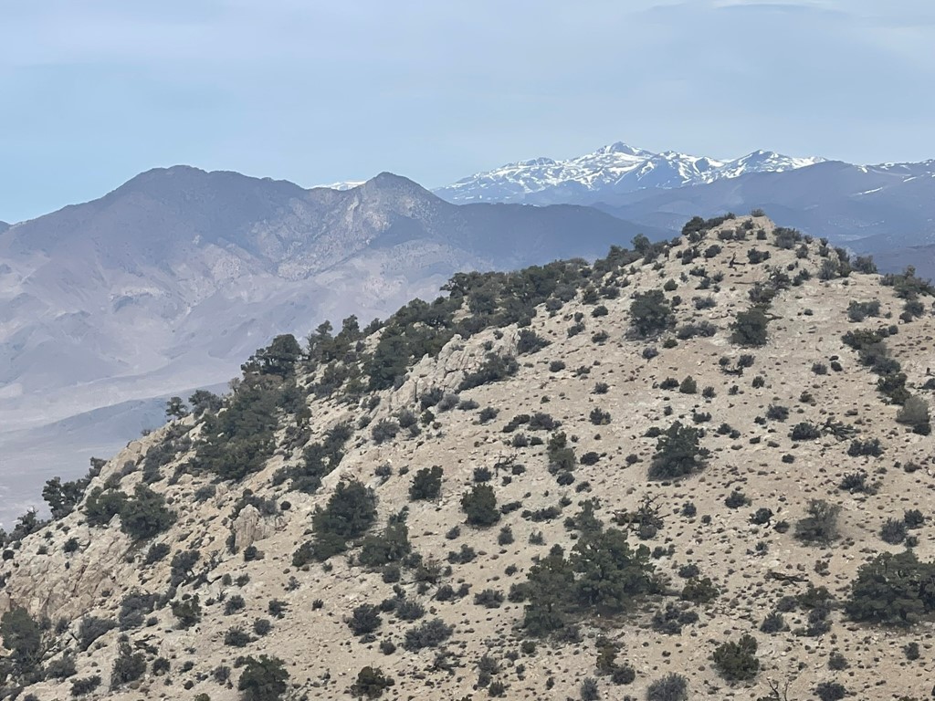
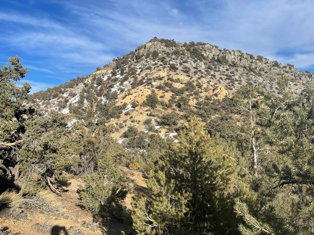
I noticed there was another bump of nearly equal height about a quarter mile to the north (pictured above in the foreground). I decided to hike over there real quick before descending. I reached the northern bump at 11:25am at 1.3 miles. Looking back the way I came I could see the south summit as well as Mazourka Peak (left center) in the distance.
I descended directly east to a small side road (9S13K).
I reached the road at 1.5 miles. I walked back to the first road I hiked in on and then made it back to the car at 11:51am. Stats for this hike were 2.45 miles, 446 feet elevation gain, and 1:12:15 total time.
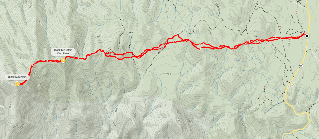
Black Mountain
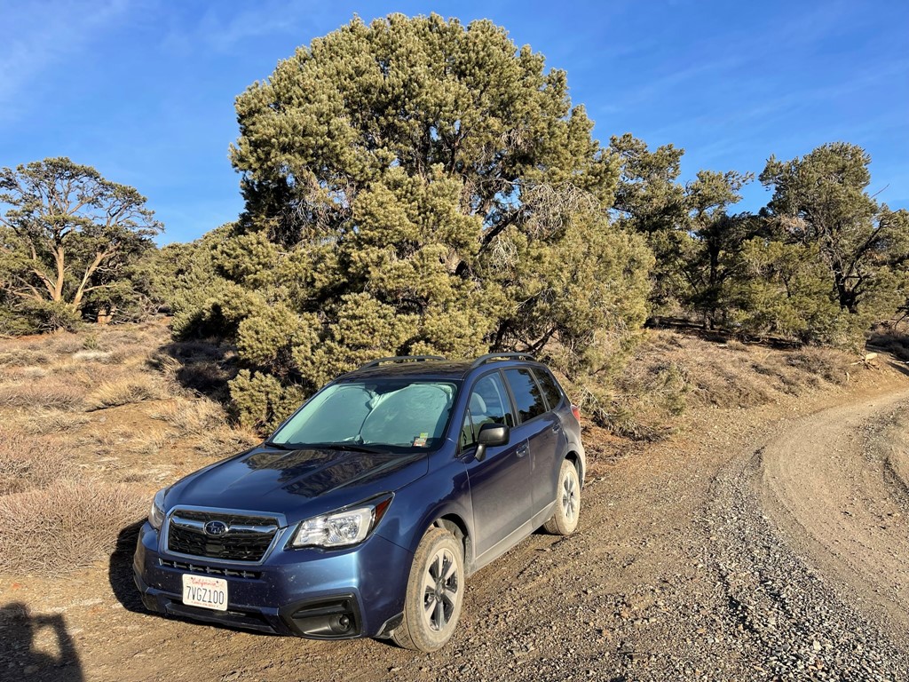
Next up was Black Mountain, a 9083 foot peak located at the southwestern end of the White Mountains, the highest desert range in North America. The White Mountains are separated from the Inyo Mountains by Highway 168. I drove back out to Highway 168 and then went northeast to Westgard Pass. The standard trailhead is reached by driving north on White Mountain Road for a short way and then west on a series of dirt roads for a few miles. Unfortunately, I found White Mountain Road to be closed. This surprised me since I was under the impression the road remained opened during the winter up to Grandview Campground, and there was also a sign in Big Pine that indicated the road was open all the way to the Ancient Bristlecone Pine Forest. I debated for a few minutes on what to do but couldn’t find any alternate peaks in the area that would be reachable in a short amount of time. At this point I was about 4 miles due east of the peak and 1800 feet below, so I decided to just park along the highway near Cedar Flat Group Campground and hike cross country from there. I started hiking at 12:54pm from 7264 feet above sea level.
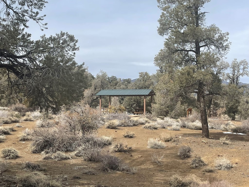
I passed near a couple of structures and picnic tables from the campground.
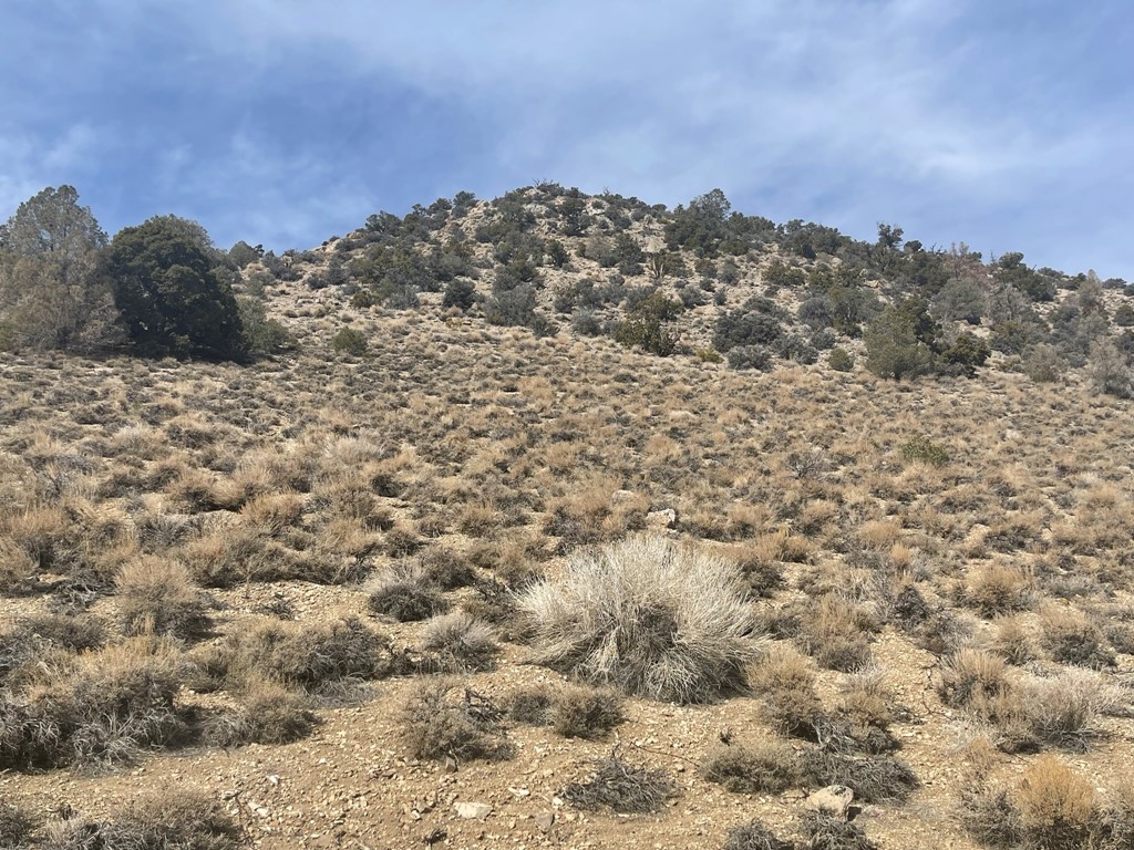
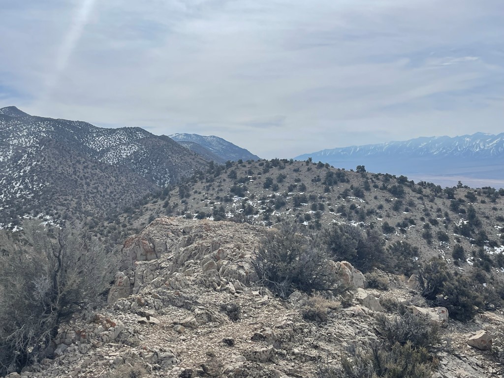
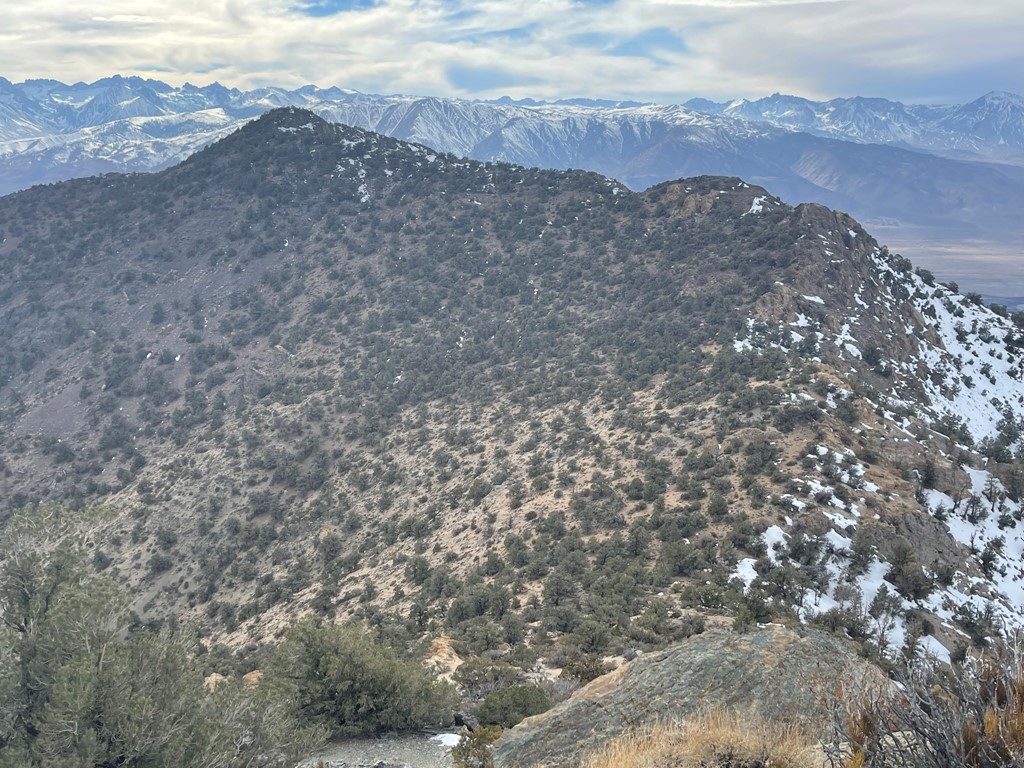
I hiked directly west up a gentle slope of pinyon pines. There seemed to be a ton of dirt roads in the area, and I crossed a few of them beyond the campground. Eventually I reached a small rise and Black Mountain came into view. Actually, I was looking at the east summit – the higher west summit can be seen poking out to the left.
I continued west as I descended a couple hundred feet. I then had to climb up the other side of the small valley.
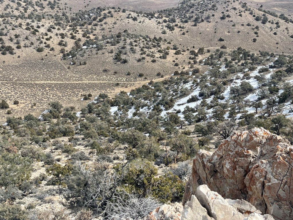
At 3.4 miles I reached Forest Road 35E309, which is the road I had planned to drive in on. There were a few large snowdrifts that would have been impossible to drive through.
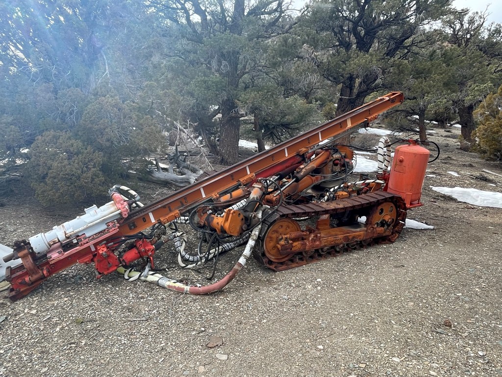
At 3.8 miles I reached some old mining junk.

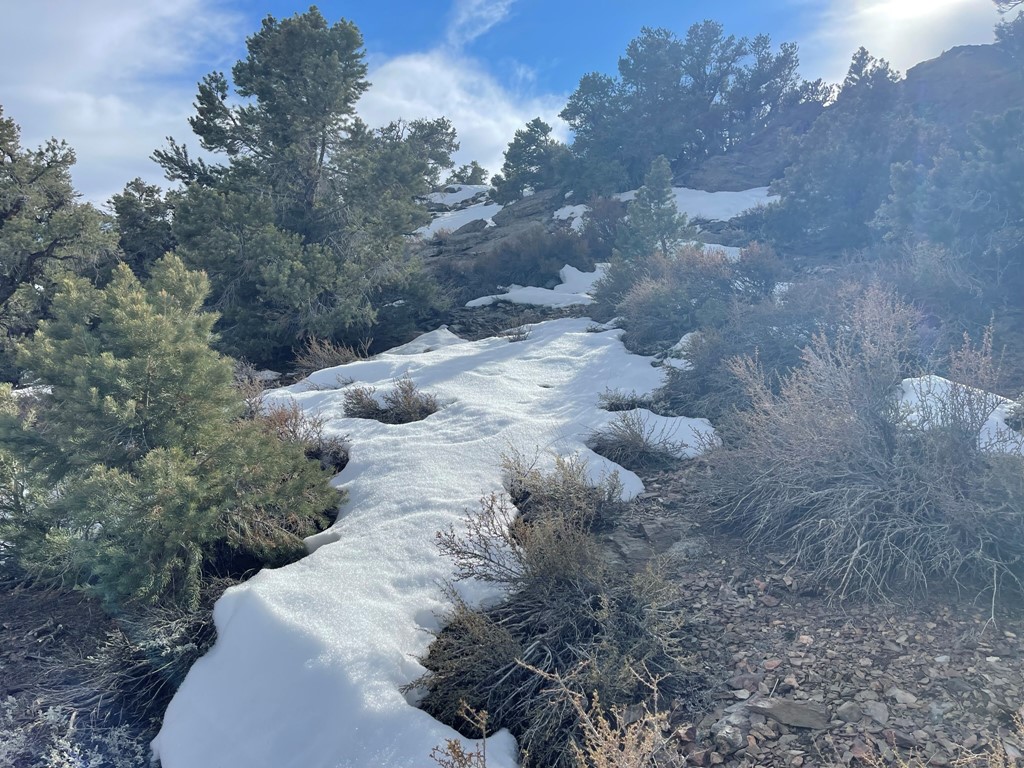
From I climbed directly west up the steep slope of Black Mountain’s east summit.
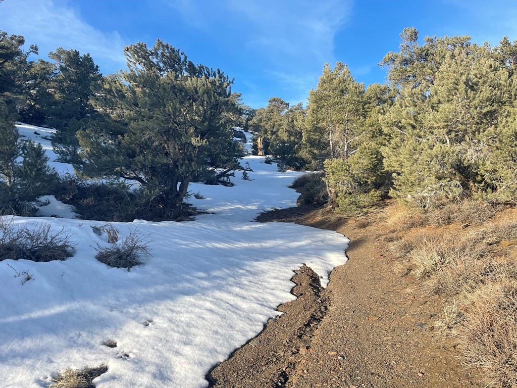
It was about a 600 foot climb from the road to the east summit. The final bit was covered in snow.

I reached the east summit (9040 feet) at 4.2 miles. I signed the register which had been placed in 2017. The previous entry was from February 14. I could see the west summit about ¾ mile away and 43 feet higher.
I descended the steep western slope of the east summit to a saddle about 300 feet below. I then began climbing more gentle slopes to the higher west summit.
Reaching the summit required some scrambling, but nothing above class 2.

I reached the summit at 3:36pm at 5.1 miles! I signed the register which had been placed in 2010. The previous entry was from February 14 (same as the east summit). I located 2 markers.
Split Mountain and Birch Mountain to the southwest:
Middle Palisade and North Palisade:
Mount Humphreys, Basin Mountain, and Mount Tom to the west:
White Mountain Peak to the north:
Waucoba Mountain (left) and Keynot Peak (right distance) to the south:

I took only a quick break on the summit since I knew I’d be getting short on daylight. I descended back to the saddle and then reclimbed the steep western side of the east summit.
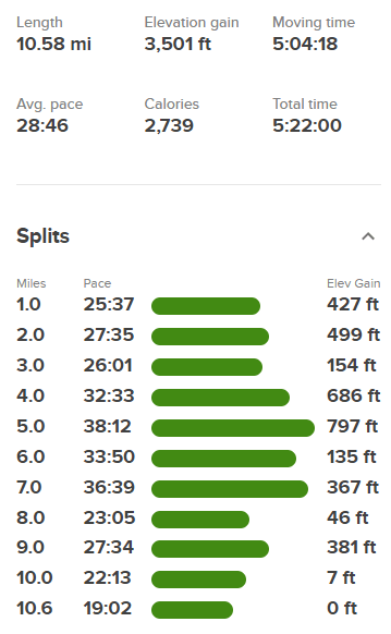
I reached the east summit again and then descended back to the car. There was plenty of uphill on the way back which made the hike feel like it was uphill both ways. I reached the car just as it was getting dark at 6:17pm. Stats for this hike were 10.58 miles, 3501 feet elevation gain, and 5:22:00 total time.