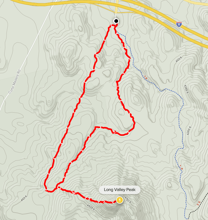
The weather forecast was looking so bad for the weekend that I had pretty much resigned myself to staying inside and trying again the next weekend. However, when I woke up Saturday morning, I checked the radar and saw that I might have a small window of opportunity. It appeared to already be raining north of here, but the San Diego County mountains to the east looked dry for the next few hours. I quickly decided on climbing Long Valley Peak (4880 feet), a mountain I had attempted just 2 weeks prior but had to turn around about ¾ of the way up due to a minor injury to my dog, Stella. It took me a little less than an hour to drive to the trailhead at the Pine Valley Road exit off I-8. This trailhead is a staging area for OHVs. It had been very busy when I was here 2 weeks ago but today it was much quieter, no doubt because of the forecast. It was 37 degrees and cloudy when I got there, but it was dry so I hoped the rain would hold off for another couple hours. I began hiking at 8:25am from 3891 feet.

Just as I had done 2 weeks ago, I started hiking south down the road. Almost immediately, I turned right and hopped over a locked gate which led away from the main road.
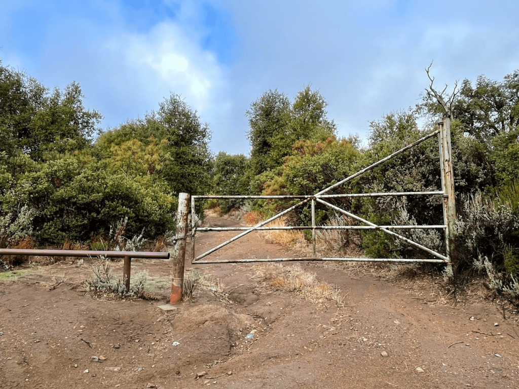
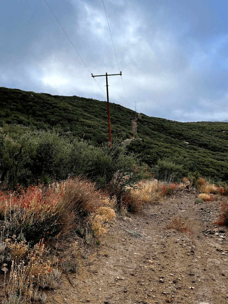
The road behind the locked gate is a power line road. It seems that this gate is always locked so it’s a good option for hikers when the main roads are crowded with OHV traffic. I proceeded south as the road made a steep ascent.
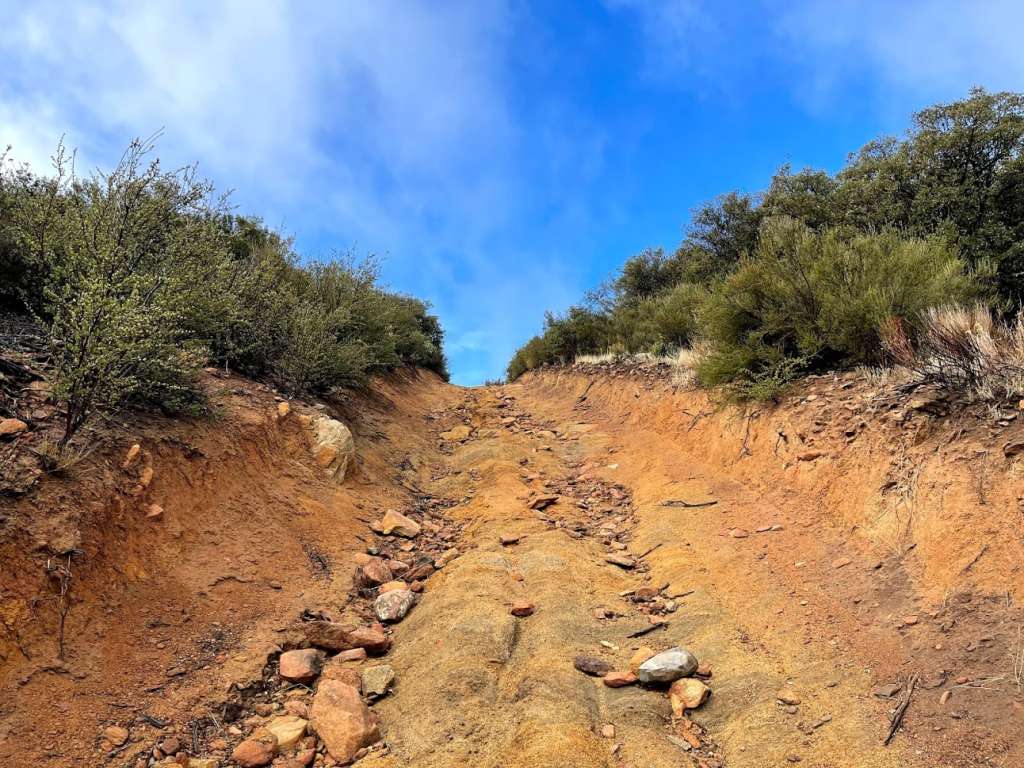
The road was a little muddy but otherwise the conditions were great for hiking. At the top of this initial hill I got my first view of Long Valley Peak.

From there, I continued south on the power line road. It made a couple steep ups and downs.
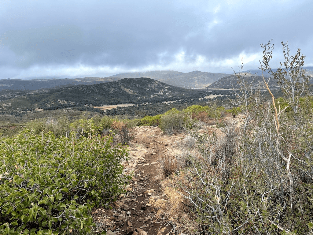
At 1.5 mile, I turned left (east) onto a narrow single track trail which I would follow the rest of the way to the summit. I still had about 700 feet to climb.

The trail was pretty well defined, so it was easy to follow.

It got a little steep at times but nothing too difficult. The summit area was very rocky.

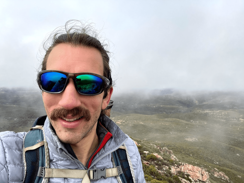
I climbed up the final portion and reached the summit at 9:22am! I was at 2.1 miles so far.
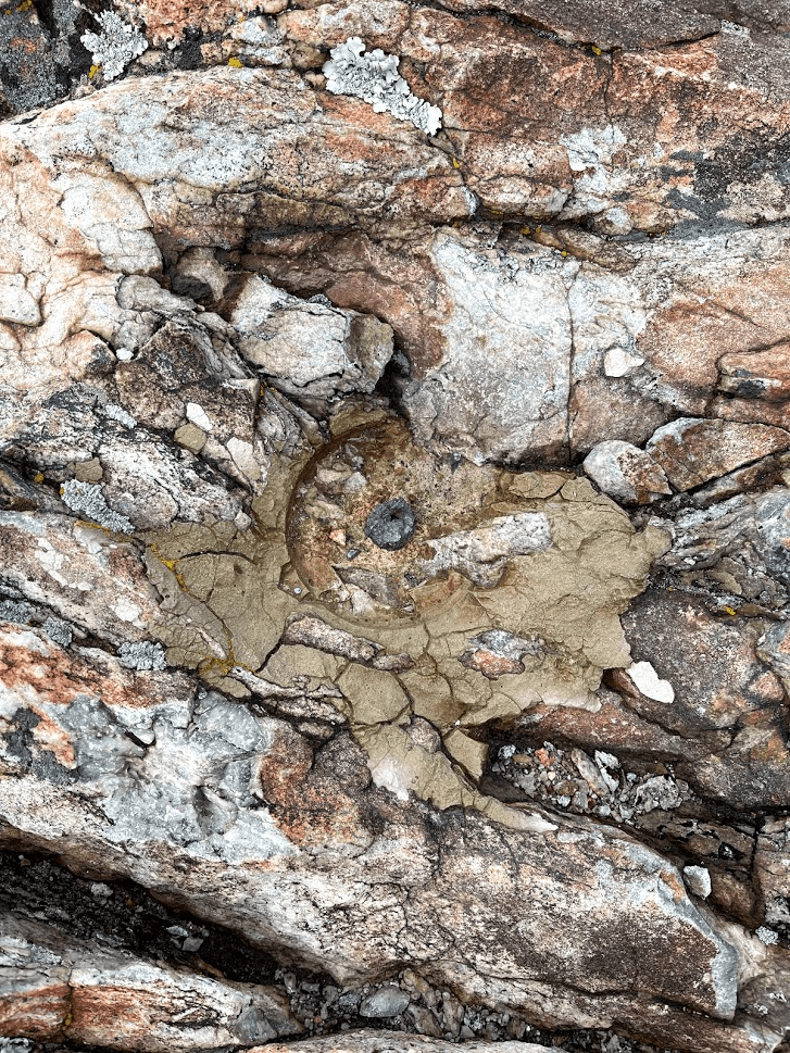
I found an ammo container with 2 registers inside. The older one was completely waterlogged. The newer one was in better shape but unfortunately both registers were full. I managed to squeeze my name on the inside back cover of the newer one. This was a somewhat popular peak, as the new register dated only to 2019 but had many entries over the 2 years. I found “Long” reference marker number 2.

The benchmark and the other reference mark are missing, but I was able to locate pins where they used to be.
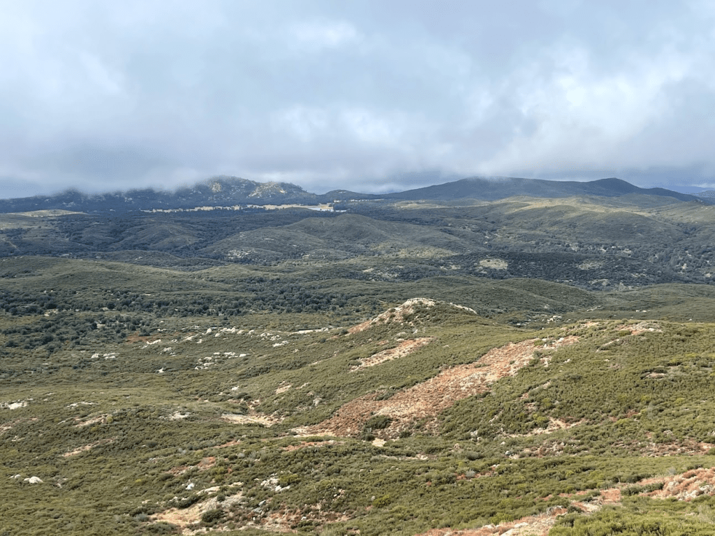
Unfortunately, I did not have any good views due to the cloud cover. I knew Los Pinos Mountain, Corte Madera, and Pine Creek Wilderness High Point were just a few miles south, but I could only see the base of those peaks.
I nearly froze stranding still on the summit, so I made my way back down after a quick snack.
I went west down the same trail I had ascended. At 2.6 miles I passed another hiker on his way up. He would be the only other hiker I would see. At 2.7 miles I turned right onto another trail that led north. I wasn’t quite back at the power line road yet, but I had read that there was a pretty extensive network of motorcycle trails in this area, so I decided to take a different way back to the trailhead.

I went north on this trail until reaching a T intersection. Left would likely take me back to the power line road, so I went right instead.

The trail went east for a short way and then bent back to the north. The vegetation was pretty dense at times.

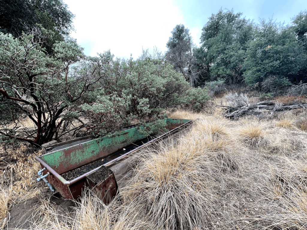
As I got closer to the main road, the trail eventually started to follow a dry creek bed. At 4.3 miles I wandered slightly off the trail and found an old rusted metal basin. I thought it looked like a cattle trough.
The creek bed reached the road soon after this. From there it was a short walk back to the car.
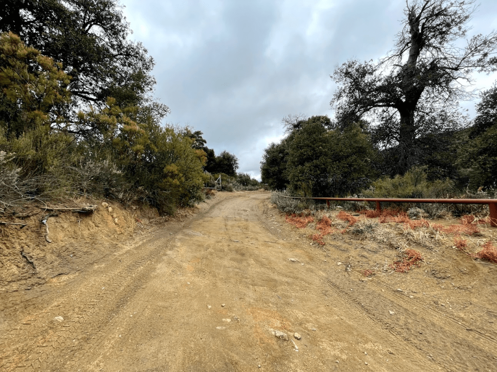
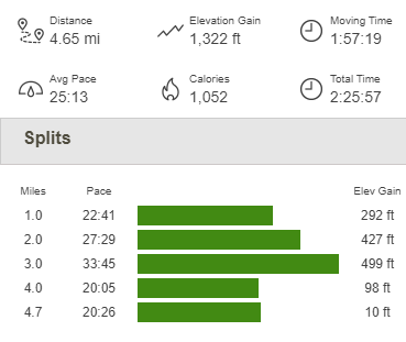
I reached the car at 10:52am. This hike totaled 4.65 miles, 1322 feet elevation gain, and 2:25:57 total time.