Keller, Slide and Mill Peaks
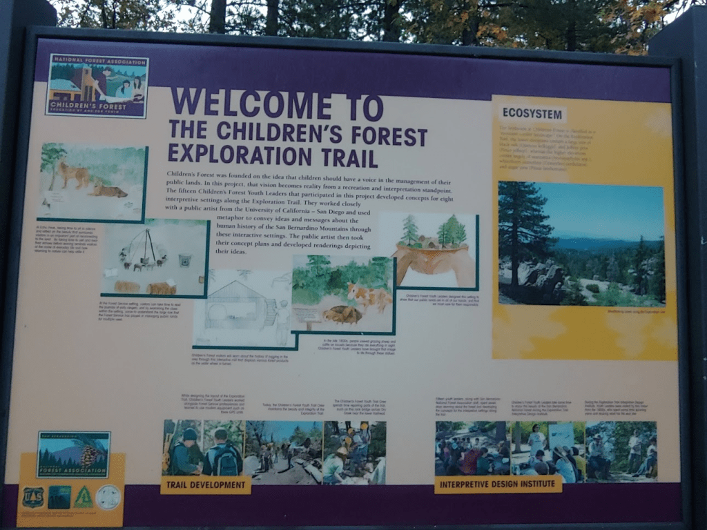
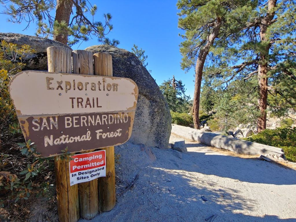
Today my plan was to climb of trio of peaks on the Sierra Club Hundred Peaks Section list – Keller Peak (7882 feet), Slide Peak (7841 feet), and Mill Peak (6670 feet). All 3 peaks are in the San Bernardino Mountains a few miles southwest of Big Bear Lake. Besides being on the HPS list, there’s nothing especially notable about the peaks except for Keller, which is a 1000 ft prominence peak and has a fire lookout tower on its summit. Because of this, there is actually a paved road up to Keller’s summit. You can also drive pretty close to Slide and Mill and summit both via short hikes. Instead, I decided to combine the 3 into one long hike of about 15 miles starting from the Exploration Trail near the little mountain town of Running Springs. I woke up at 4:30am and made the 2 hour drive into the mountains. The trailhead is on Keller Peak Road just off of Highway 18. There is room for 3-4 cars to park here plus additional room on the side of the road. I began hiking at 7:02am from 6065 feet.
It was just getting light out as I got started. The time change was the next night, so it was still pretty dark out at 7am.
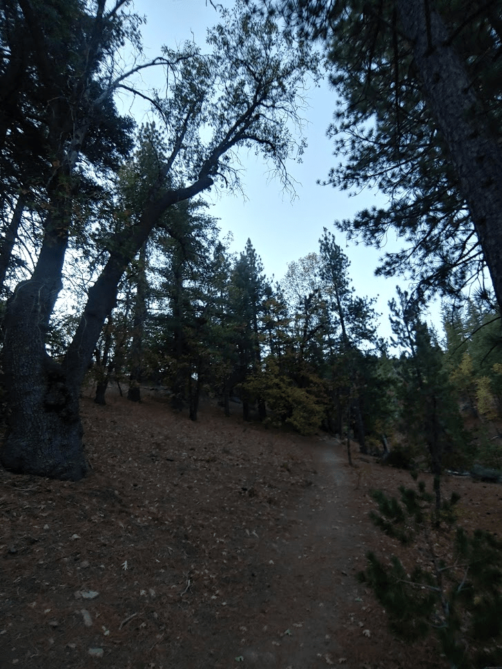
It was pretty chilly – probably mid 50s but I was comfortable in just a jacket.
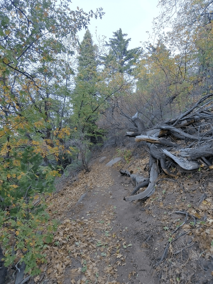
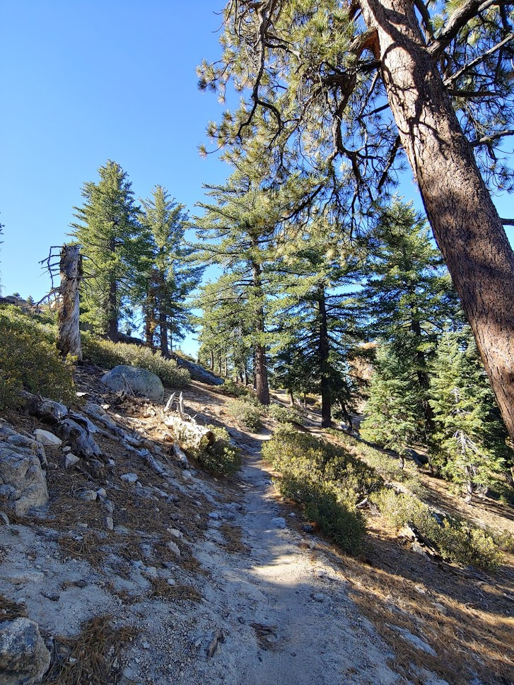
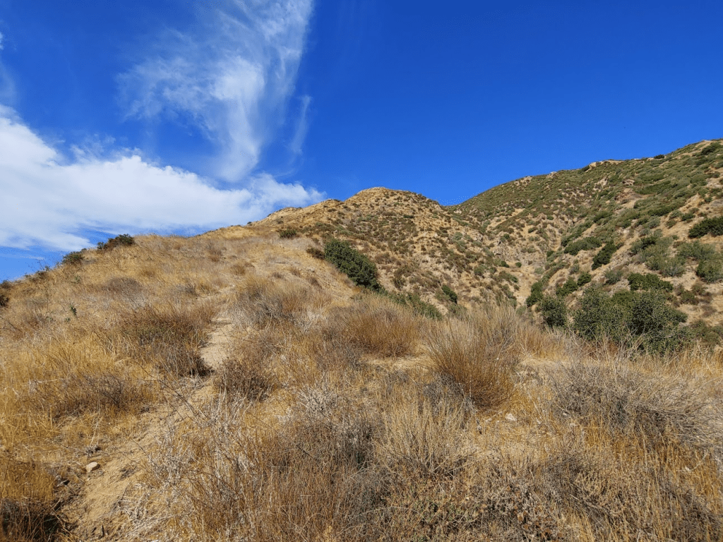
The exploration trail was very pretty. I followed it east as it gradually gained elevation towards Keller Peak. At 1 mile I passed about a half mile north of Mill Peak, but I decided to do Keller and Slide first so I kept going.
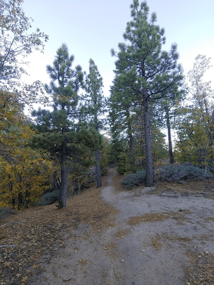
I continued east as the scenery opened up a little.

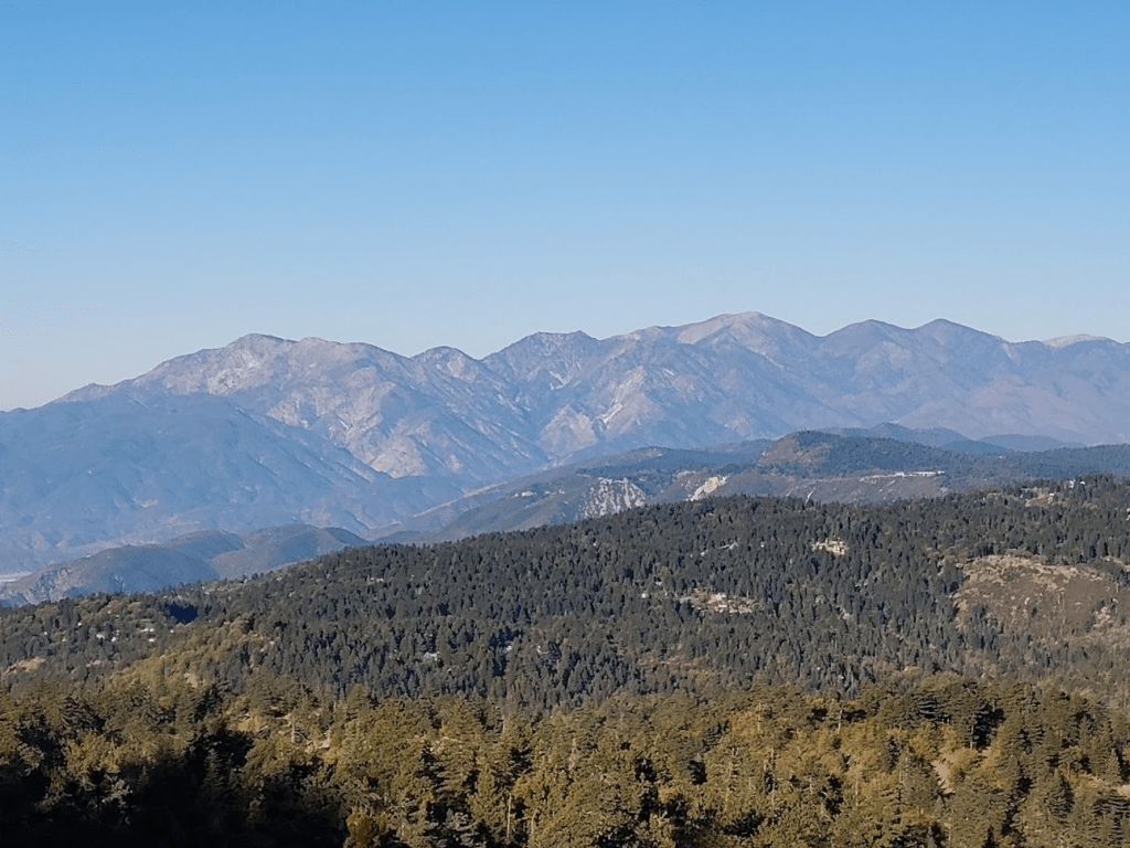
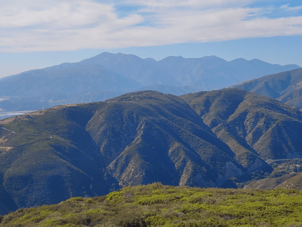
At 3.76 miles I arrived at an excellent viewpoint of the San Gabriel Mountains to the west. This was as clear as I had seen the air in Southern California in a few months.
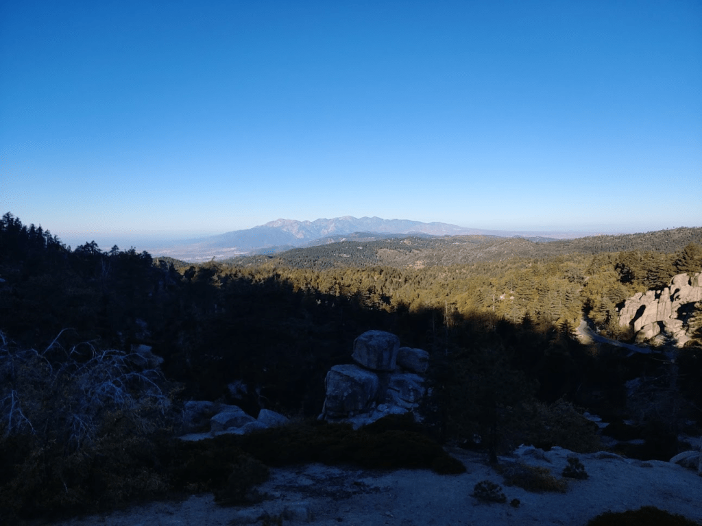
From left to right, the peaks are Cucamonga, Etiwanda, Timber, Telegraph, Baldy, Dawson, Pine, and Baden-Powell.
At 4.08 miles I passed underneath some power lines, which I think go up to the fire lookout on Keller Peak.

At 4.49 miles I reached Keller Peak Road. I had gained about 1200 feet up to this point. There were 4 mountain bikers getting ready to ride the opposite way on the Exploration Trail. I had seen bike tracks on the trail, so I wasn’t surprised.

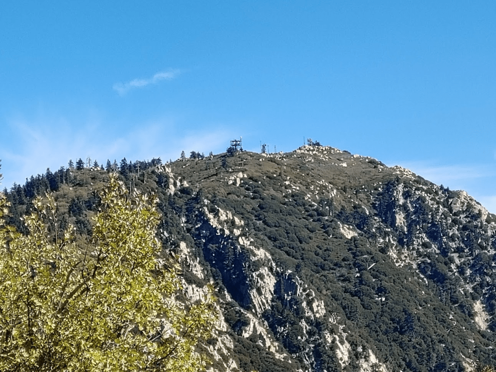
I could see some communication towers on top of Keller. I couldn’t see the lookout yet.

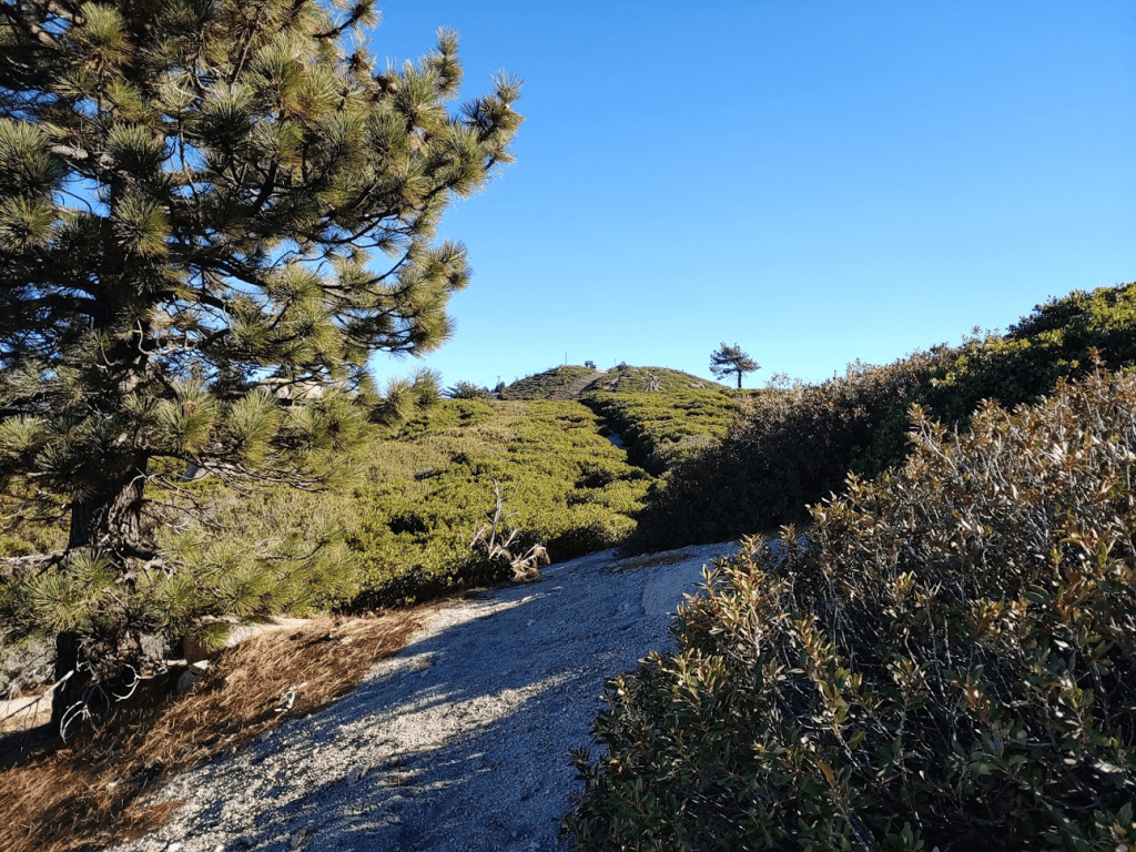
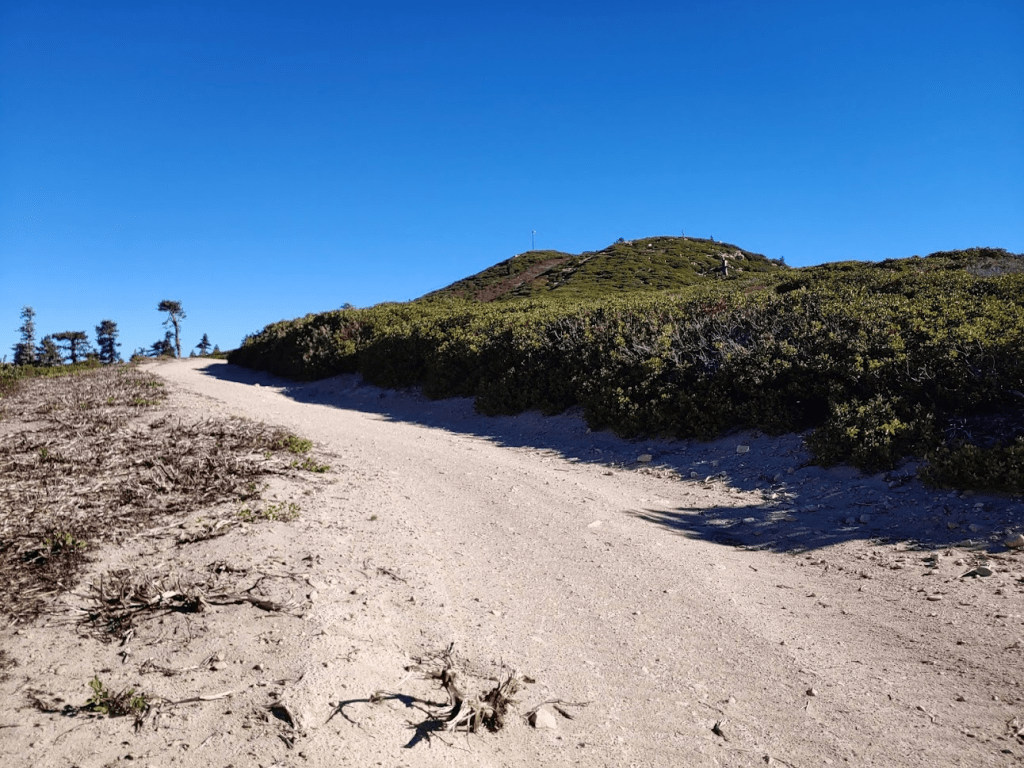
At 5.1 miles I passed through an open gate and continued towards the top.
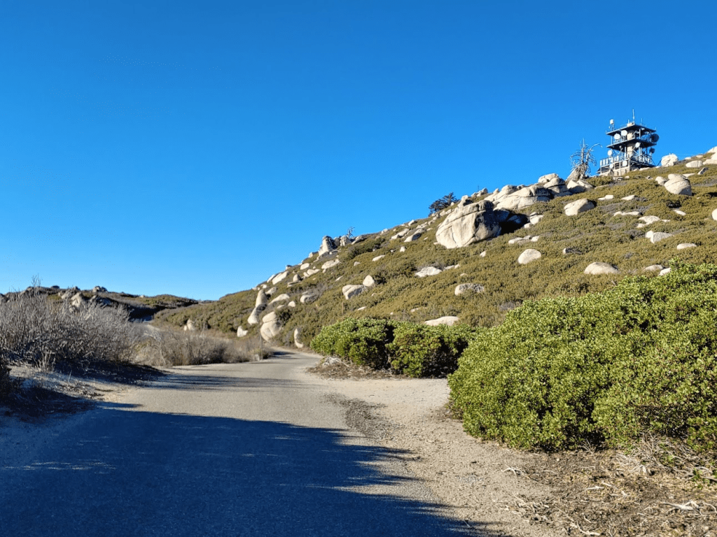
The road portion of the hike took longer than I thought to get to Keller Peak – almost 2 miles from the trail. Near the top I passed the communication towers and walked up to the lookout. The gate was locked and there were no vehicles parked there so it didn’t seem like there was anyone inside. I climbed up some rocks which make up the natural high point on the peak. I reached the summit at 9:06am at 6.31 miles!
I was just below the lookout tower.

The communication towers were close by.

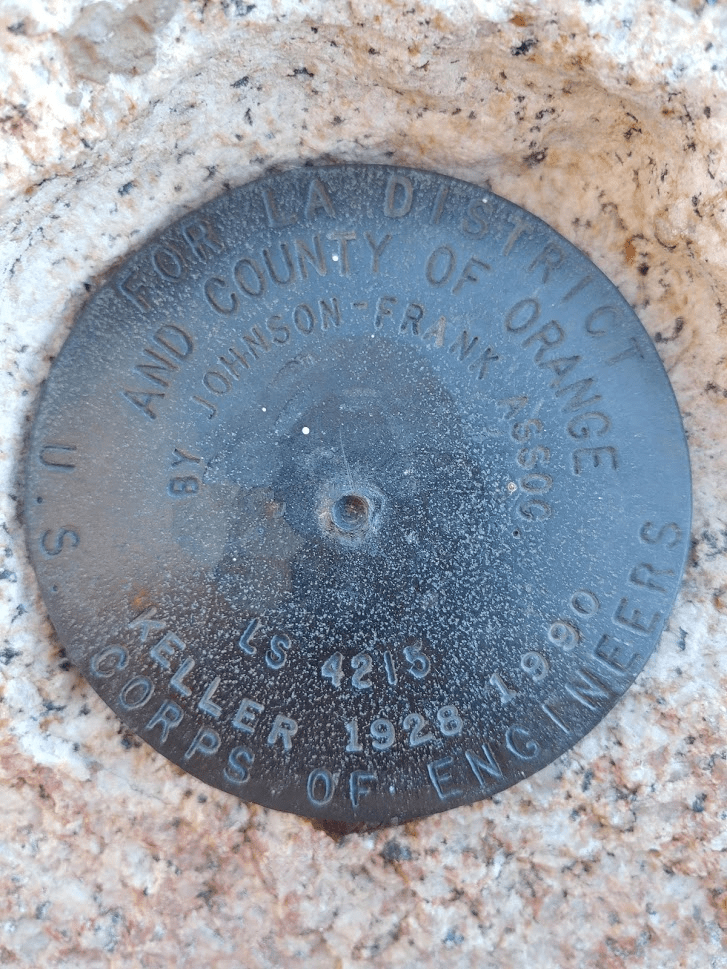
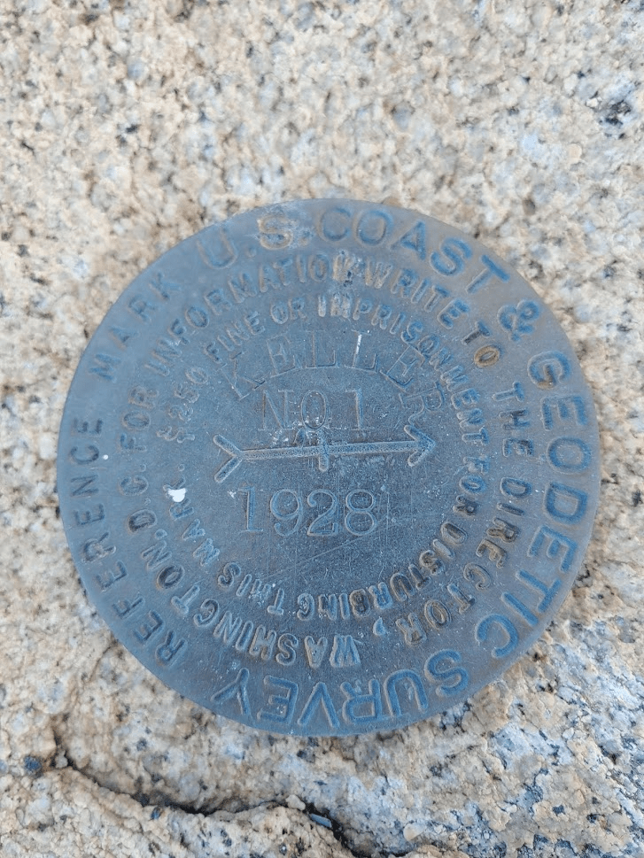
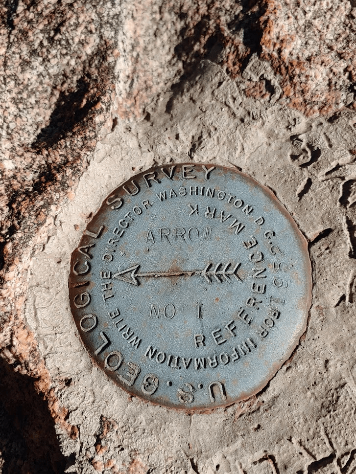
I located a Corps of Engineers benchmark, a Dept of Water Resources benchmark, and the USGS reference marker no 1. The USGS benchmark and reference marker no 2 appeared to be missing. I did not locate a register.

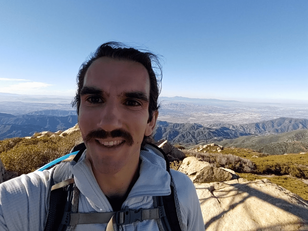
I had a great view south towards the Santa Ana Mountains.

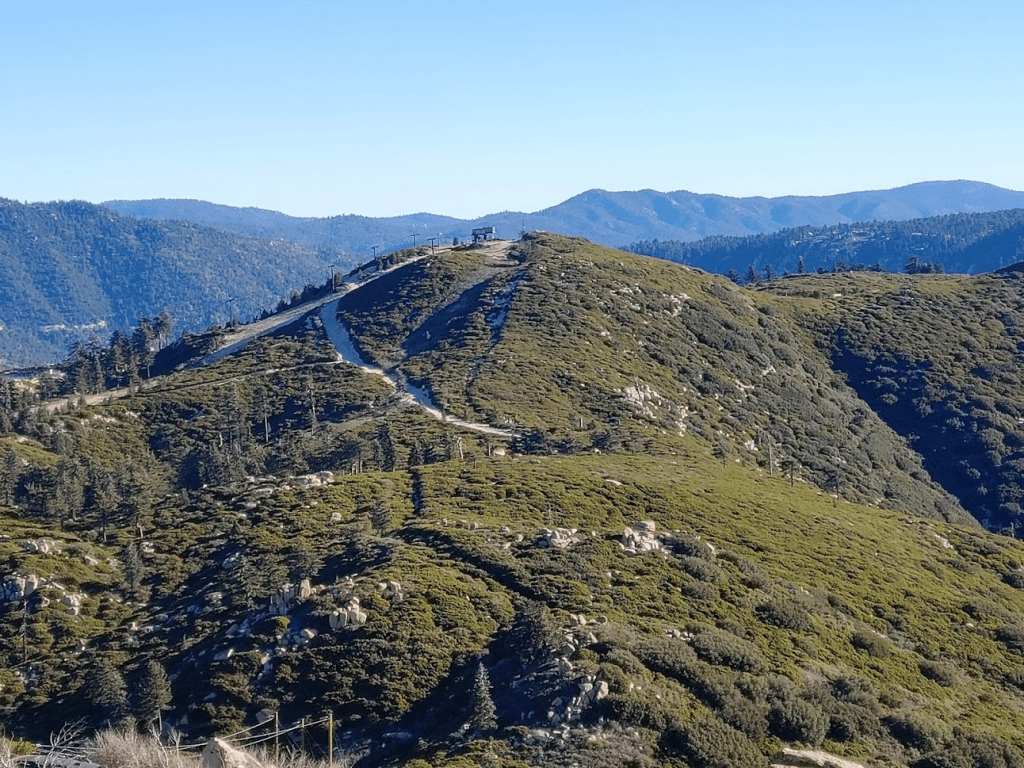
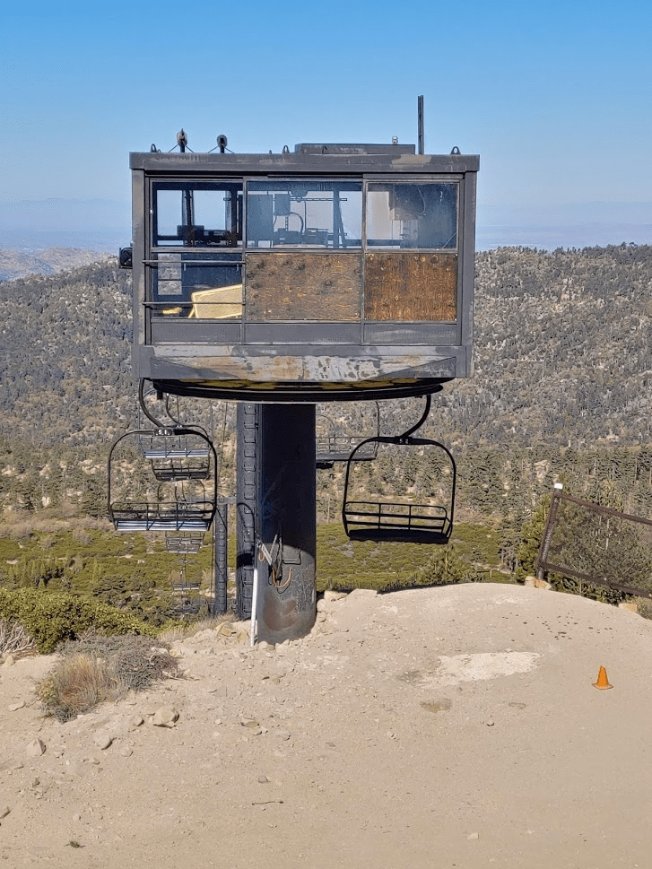
I could see Slide Peak just a mile or so away. 2 chair lifts go to the top of Slide Peak.
At 9:15 a vehicle pulled up and parked near the lookout. It was the volunteer showing up to man the tower for the day. We exchanged a brief hello as he unlocked the gate and climbed up the steps to the tower. Normally, the volunteers will let you come inside and will chat with you for a while, but not anymore due to Covid. I climbed down from the summit rocks a few minutes later and continued my hike. As I was walking down the road, I saw the volunteer raising the American flag which was cool. At 7.63 miles I left the road to climb to Slide Peak. There is a pretty decent use trail that leads east from the road.
The use trail started out very steep and then flattened out. At 7.92 miles I reached a dirt road.
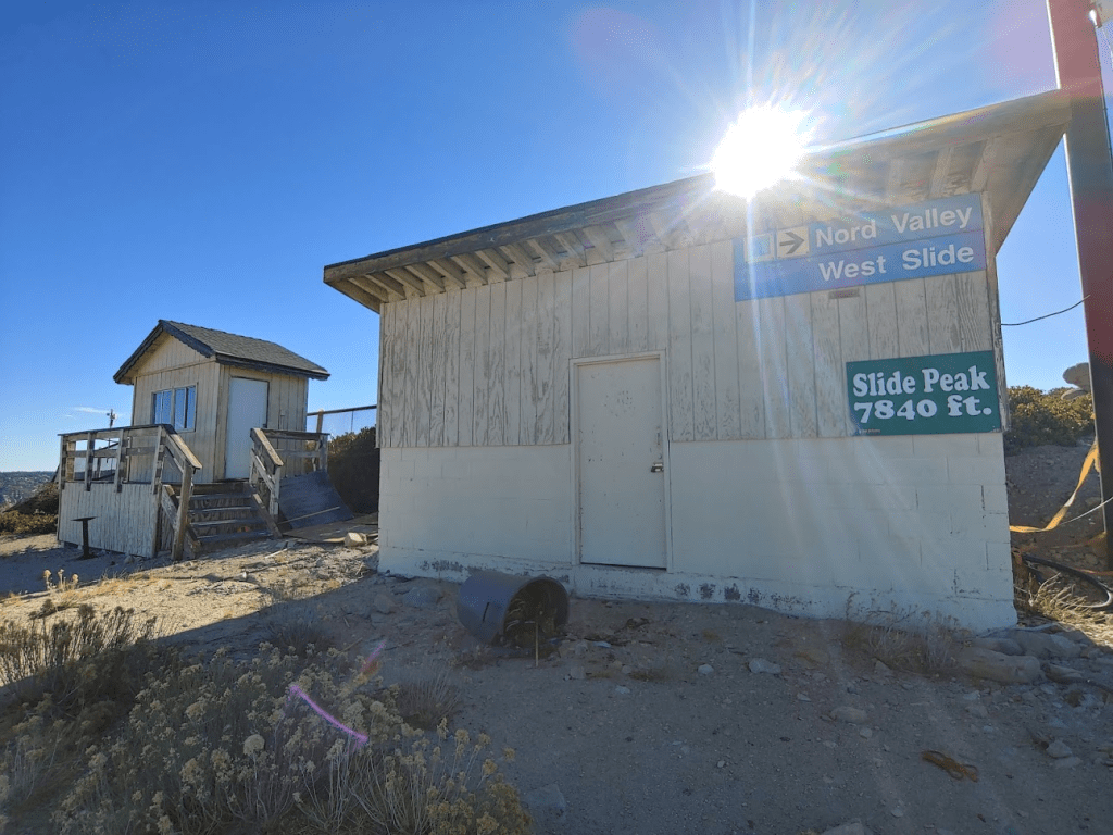
Slide Peak has a couple of chair lifts on its summit, so I assume this road is used by whichever ski resort owns the mountain to service the lifts. The road got steep right below the summit. Once on the summit I climbed up some rocks behind one of the buildings that marked the true high point. I reached the top at 10am at 8.38 miles!
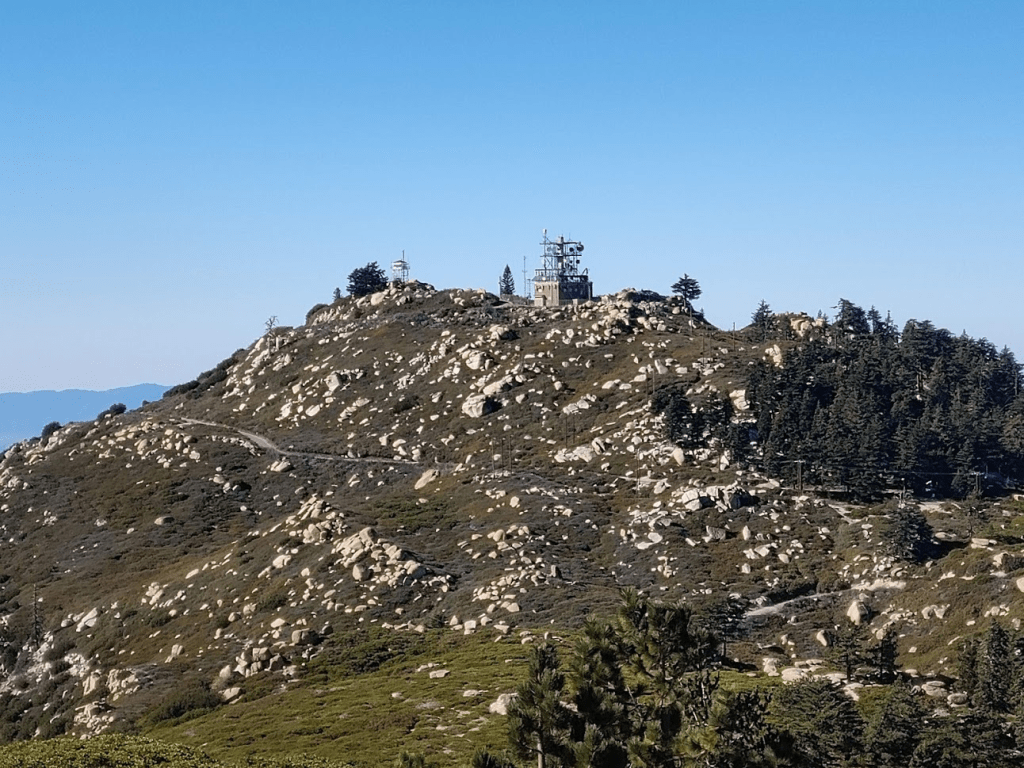
Keller Peak was just a mile or so to the west. I could make out the fire lookout and the comm tower.
To the east I could see Sugarloaf Peak (tall peak on the left), the 2nd most prominent peak in the San Bernardinos. On the right is San Bernardino Peak, which rises to over 10,000 feet.

To the south I could see a few peaks in San Diego County, including Palomar Mountain and Cuyamaca Peak way in the distance.

I located the register tucked away in the rocks and signed it. I noted the previous ascent was on 10/18 by a Sierra Club group. I began descending after a 20 minute break on the summit. I could see some hikers ascending to Keller Peak via the paved road.
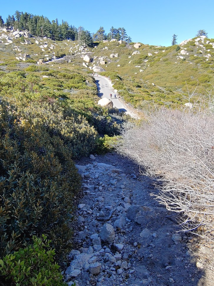
I reached the road at 9.04 miles, and then the Exploration Trail again at 9.6 miles. Walking on the pavement sucked so I was happy to be on the trail again. It was starting to get warm, so I finally removed my jacket.
I hiked back towards the trailhead on the Exploration Trail. This trail is really very pretty so I’d recommend it even if you are not interested in tagging the nearby peaks.
The trail was much busier than before as I passed 5-6 groups going the other direction. The fall colors were beautiful this time of year.

I noticed a very unusual bent pine tree.

At 13.06 miles I reached the turnoff for Mill Peak. I went left (south) on a decent trail.

At 13.24 miles I left the trail to climb directly south towards the peak.
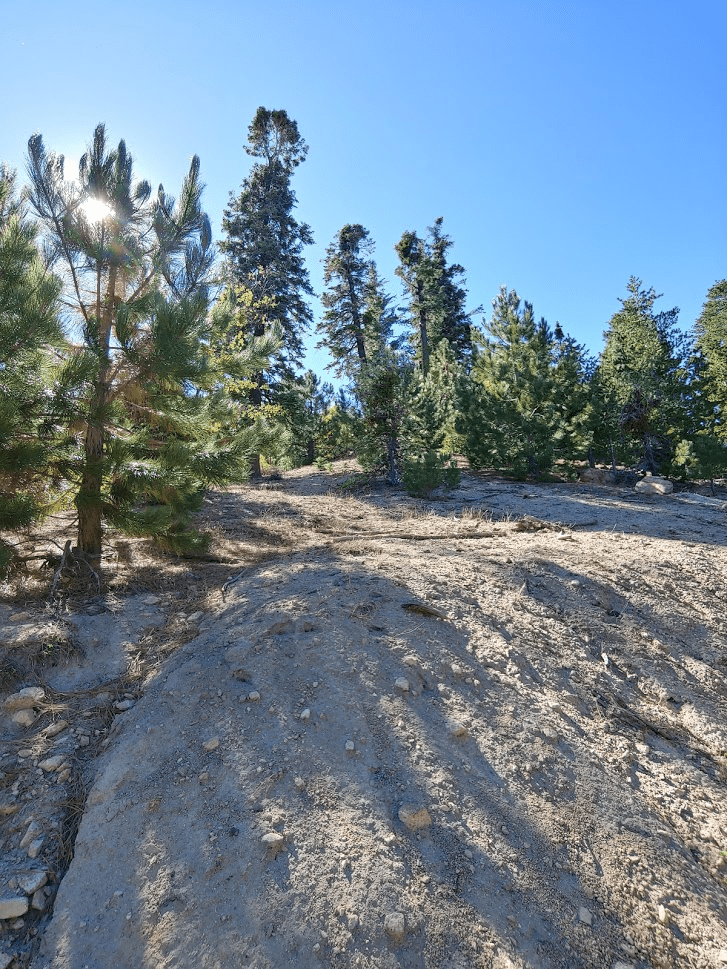
I reached the summit area, but unfortunately could not reach the high point due to extremely thick brush. I tried a few different paths but could not find a way through. Eventually I gave up and decided to try to approach the summit a different way. I backtracked to the north and then circled around to the east. I eventually stumbled on a trail and I was able to follow it to the top. I realized this was the same trail I had been on just before, so I really wasted some time by trying to cut directly up the slope. I was on the summit at 12:20pm at 13.85 miles. The views weren’t much different than the other peaks and were partially obscured by the brush on the summit. I did have another nice view of Keller Peak to the east.
I signed the register and noted with some surprise that a group of 3 hikers had already signed it earlier that day. After a brief rest, I began the short hike back to the trailhead.

I reached the Exploration Trail again at 14.59 miles. It was an easy 1 mile hike back to the trailhead from there. I reached the car at 1:02pm. This hike totaled 15.62 miles, 2907 feet elevation gain, and 5:59:05 total time.


Arrowhead Peak
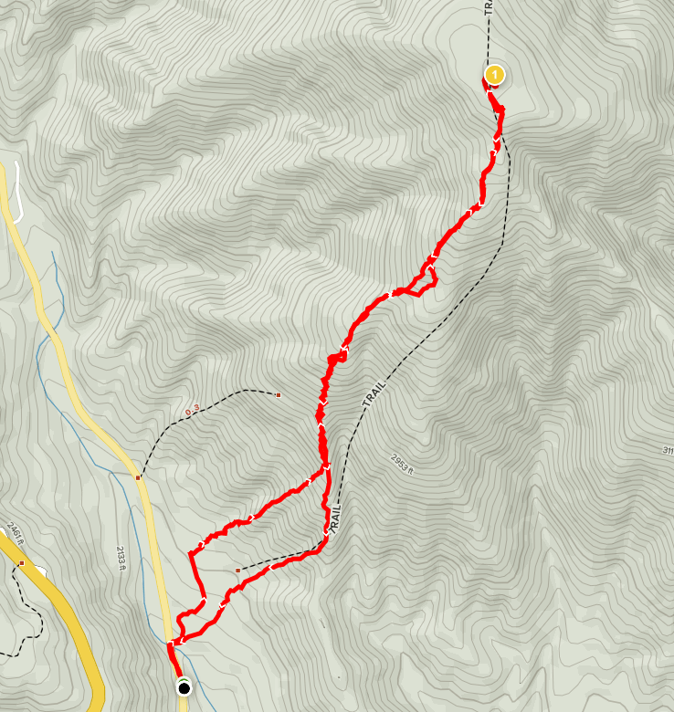
It was still pretty early, so I decided I had time for one more peak before calling it a day. I chose to do a peak on the Sierra Club Lower Peaks Committee List called Arrowhead Peak (4237 feet). From Running Springs, I drove for about 30 minutes on Highway 18 down into the foothills. I parked on the side of Old Waterman Canyon Road (paved). I began this hike at 1:48pm from 1950 feet.
I was at a much lower elevation than earlier in the day, so it was much hotter. It was 85 degrees and the sun was out in full force. This hike was going to be short, but very steep. The route gains about 2200 feet in 1.5 miles to the summit. I started hiking northeast from the road and soon reached a power line road at 0.2 mile.
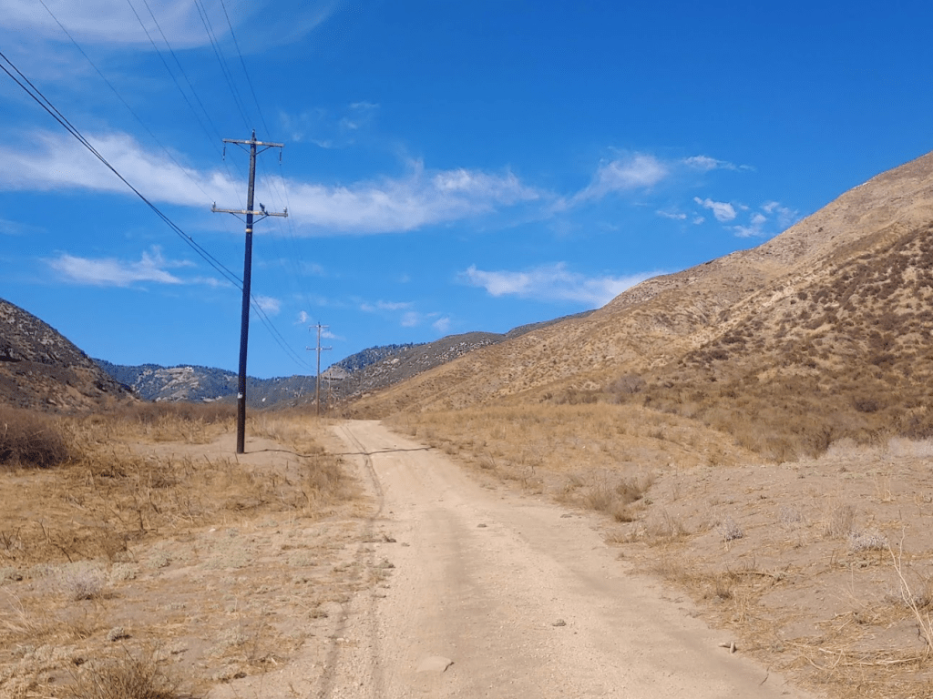
I walked north on the power line road for a short way and then started climbing northeast up one of the ridges.
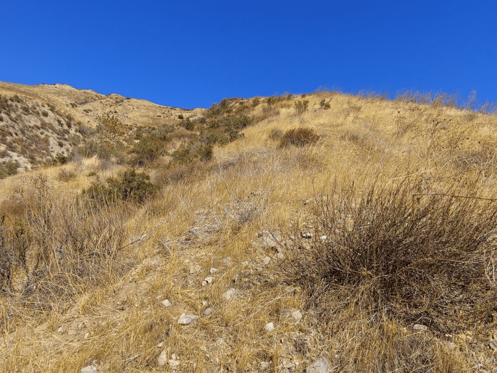
As expected, this was very steep. Poles are absolutely necessary here. Thankfully, the route is relatively brush free. There’s just some tall grass to walk through but nothing too bad.
At 0.6 mile I reached the main ridge. I had gained about 800 feet already. I turned left and continued climbing to the north.
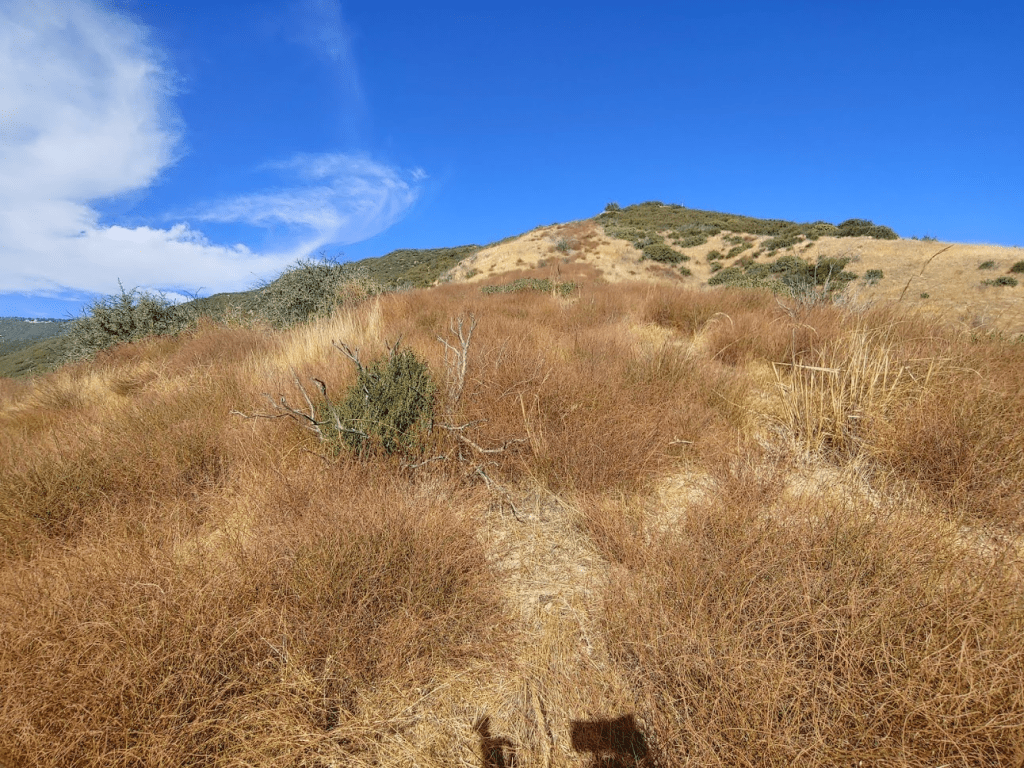
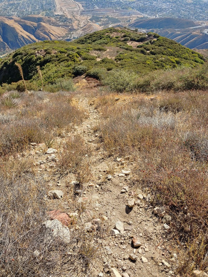
The dry grass reminded me of Chino Hills State Park, where I had spent a good day of hiking about a month ago. There was actually a vague trail I followed most of the way up. It appeared to be the remains of an old firebreak.

The mid afternoon heat was really making this tough. I was making decent progress but still had to stop to catch my breath every once in a while. The ridge bent northeast again as I got near the top.

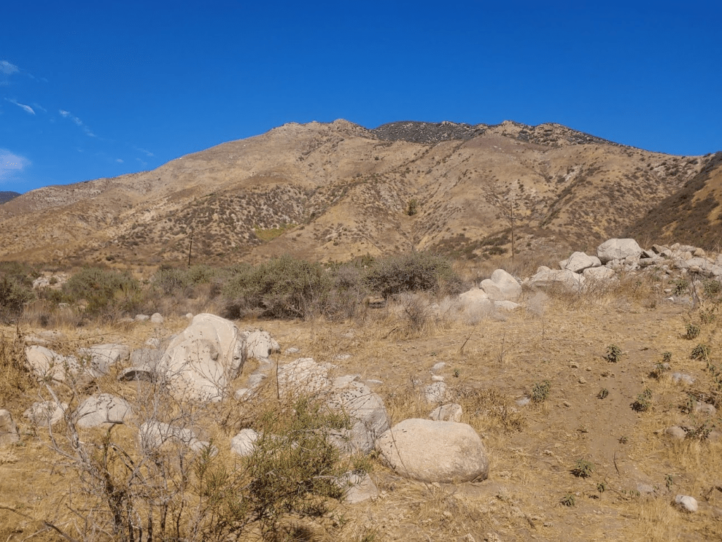
There was minor brush near the summit but there was a decent path to the top from the south. I reached the summit at 2:50pm at 1.59 miles!
The summit was marked by a pole sticking out of a pile of rocks.

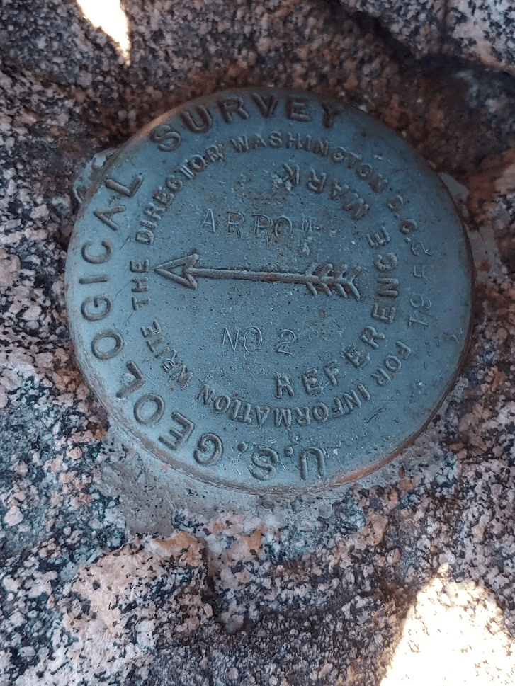
I located the benchmark and both reference markers. Reference marker no 2 was actually on the summit rock while the benchmark was along the path through the brush a short distance away. The register was waterlogged but I still managed to sign it.

The views were really excellent for such a low peak. To the east I could see Keller Peak (left), San Bernardino Peak (left center), the Yucaipa Ridge (right center), and San Jacinto (far right in background).

To the south I had a great view of the LA basin with the Santa Ana Mountains in the background.

To the west I could see Mount Baldy and the other high peaks of the San Gabriels.
I began the descent after a 20 minute break. I was able to go much faster than I had ascended, but still had to go slowly on the really steep sections.
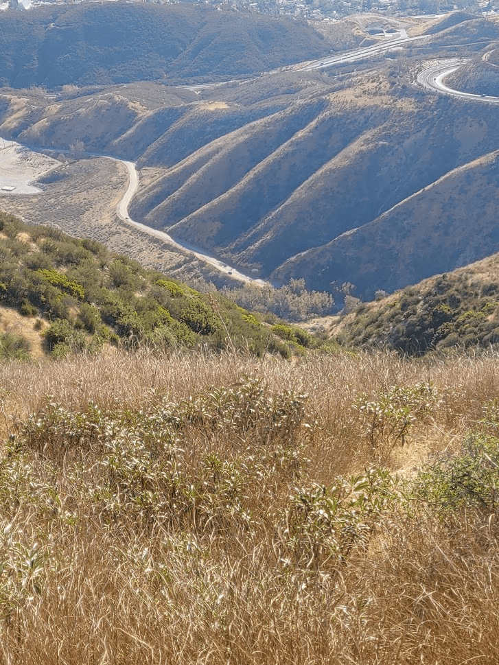
I could even make out my car way below (the tiny dot in the center of the picture).
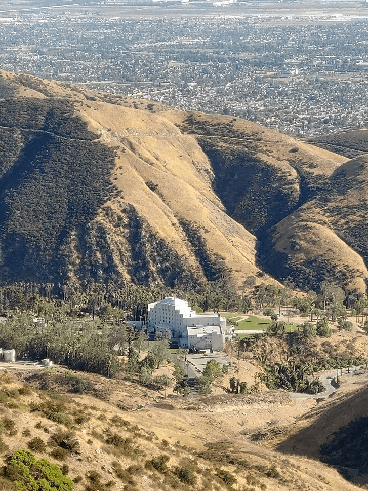
I noticed some parachuters way off in the distance above the LA basin. I wondered where they were landing. I also noticed a large white building at the foot of the mountain. I think it’s the Arrowhead Springs Hotel.
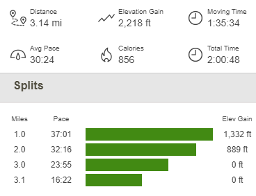
The rest of the descent was uneventful. I reached the car again at 3:11pm. This hike totaled 3.14 miles, 2218 feet elevation gain, and 2:00:46 total time.
I was a bit surprised how much I enjoyed this peak. It was almost the complete opposite of the morning hike. My Keller, Slide, and Mill hike was a lot of miles, but they were mostly very easy miles. This hike was short but very difficult right from the start. I really enjoyed the challenge, plus the peak also had some of the best views I’ve seen for a peak under 5000 feet. Overall, it was a great day of hiking in the San Bernardinos!
