Indian Mountain
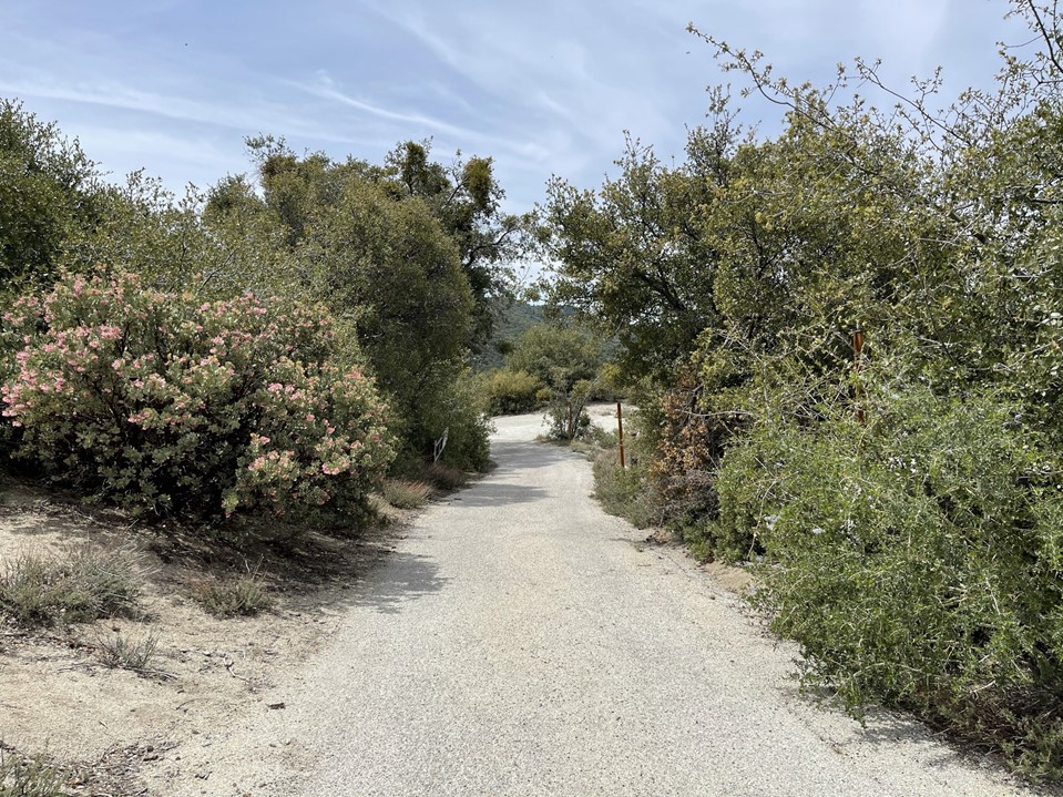
My plan for the first day of a quick 2 day road trip was to climb 3 HPS peaks in the northern part of the San Jacinto Mountains: Indian Mountain, Black Mountain, and Castle Rocks. I was planning on doing the Cactus to Clouds hike the following day, so I wanted to have an easier day with less mileage than usual. I left San Diego around 10am and made the 2 hour drive to the mountains. First up was 5790 foot Indian Mountain, which can be accessed via a forest road 3 miles from Highway 243. Some people drive to this peak, but the road is very rough so I opted for a 6 mile hike instead (not that I would do a drive-up anyway). I parked at the Indian Vista Overlook and began hiking at 12:02pm from 5425 feet. There was a small trail that connected the parking area with the road.
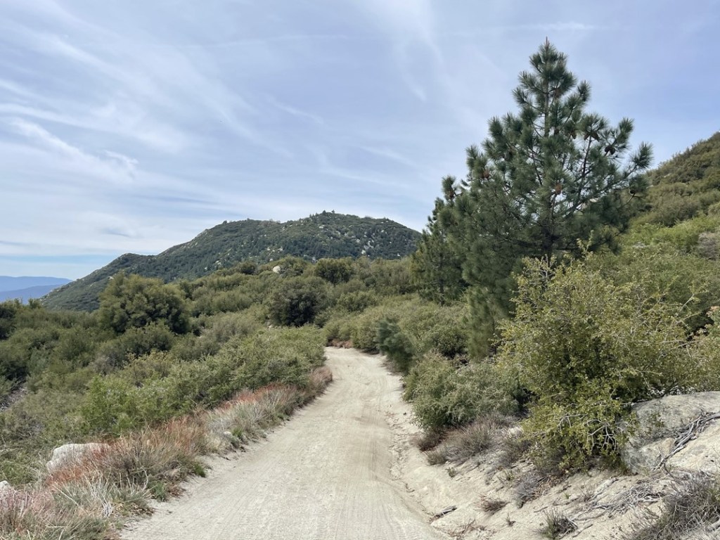
I soon reached Forest Road 4S21, also known as Indian Mountain Road. I could see the peak in the distance.
The first mile or so involved descending about 400 feet to a saddle between Indian Mountain and Highway 243.
A jeep passed me early in the hike heading towards the highway. At 0.7 mile I passed 2 hikers who were taking pictures. At 1.3 miles I reached the saddle at 4973 feet.

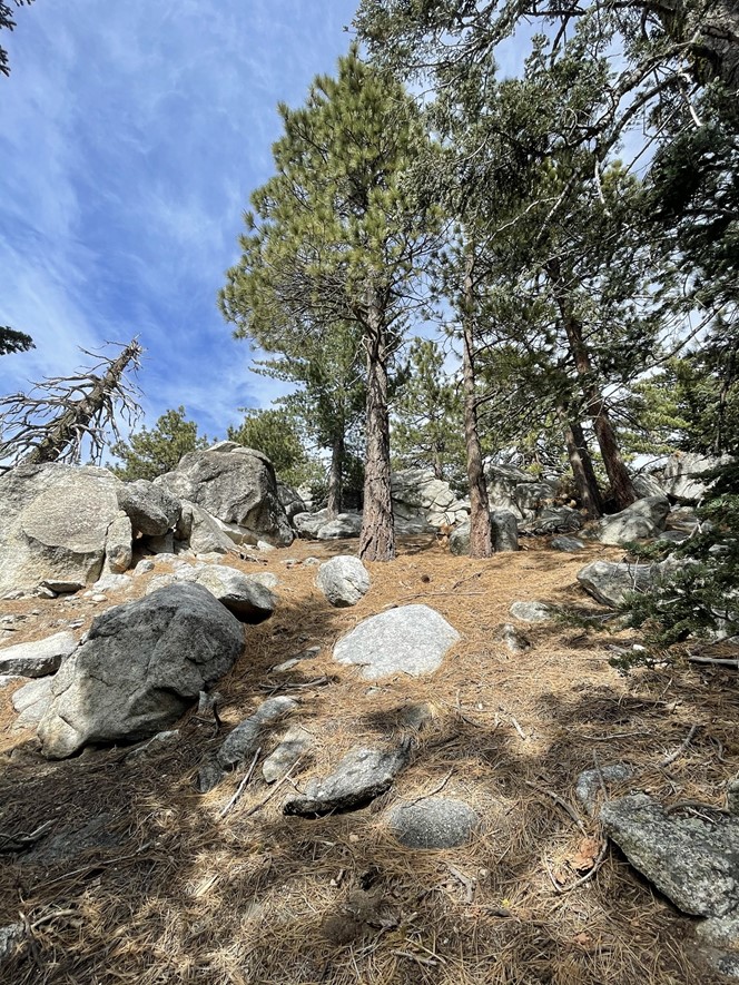
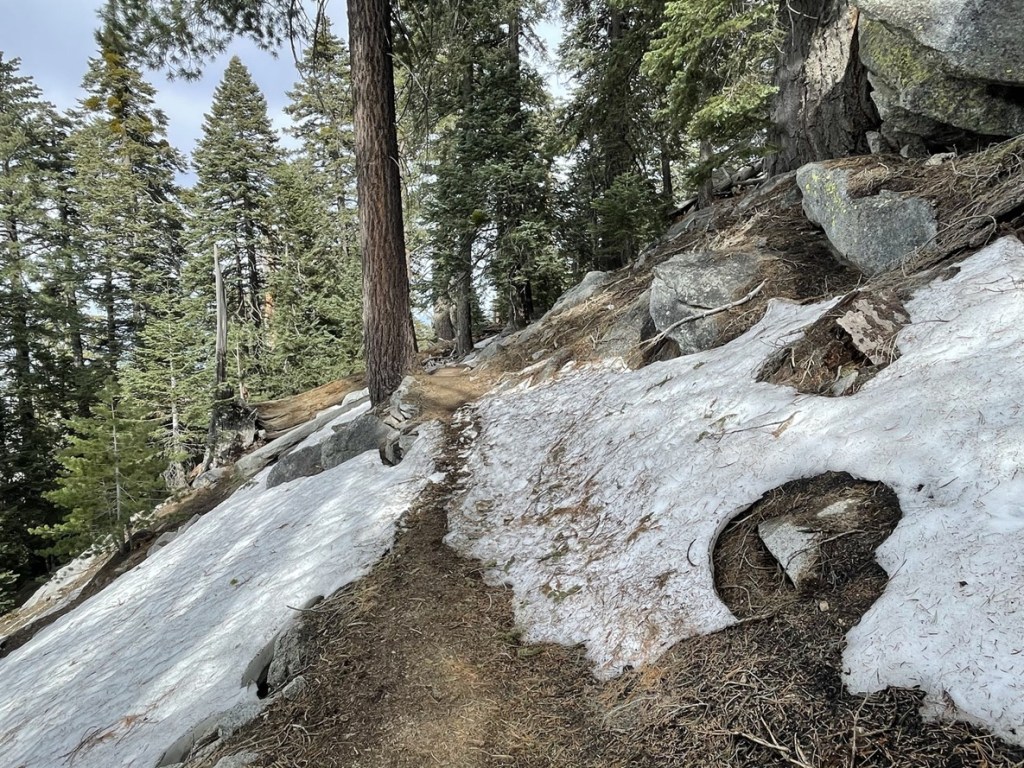
I then started hiking uphill towards the peak. The terrain alternated between forest and chaparral.
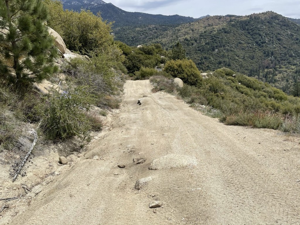
The temperature was in the 70s, but a thin cloud layer blocked the sun’s full intensity. The road definitely would have been rough in my Subaru.

At 2.9 miles I left the road to make the short bushwack to the summit. There was a decent use trail.
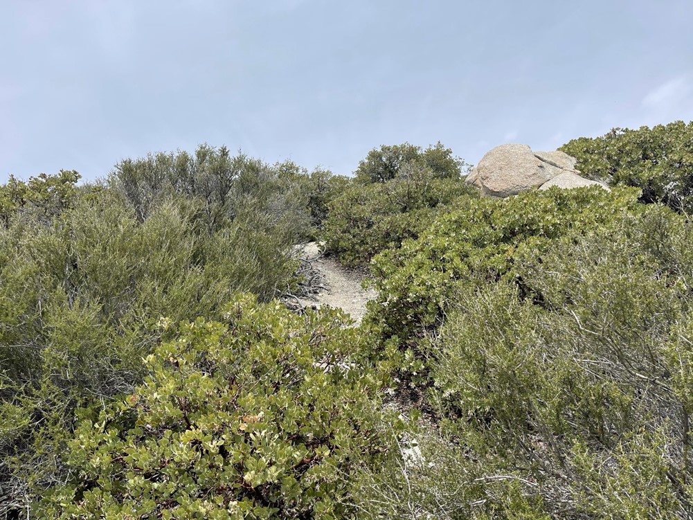
The summit block was low class 3.
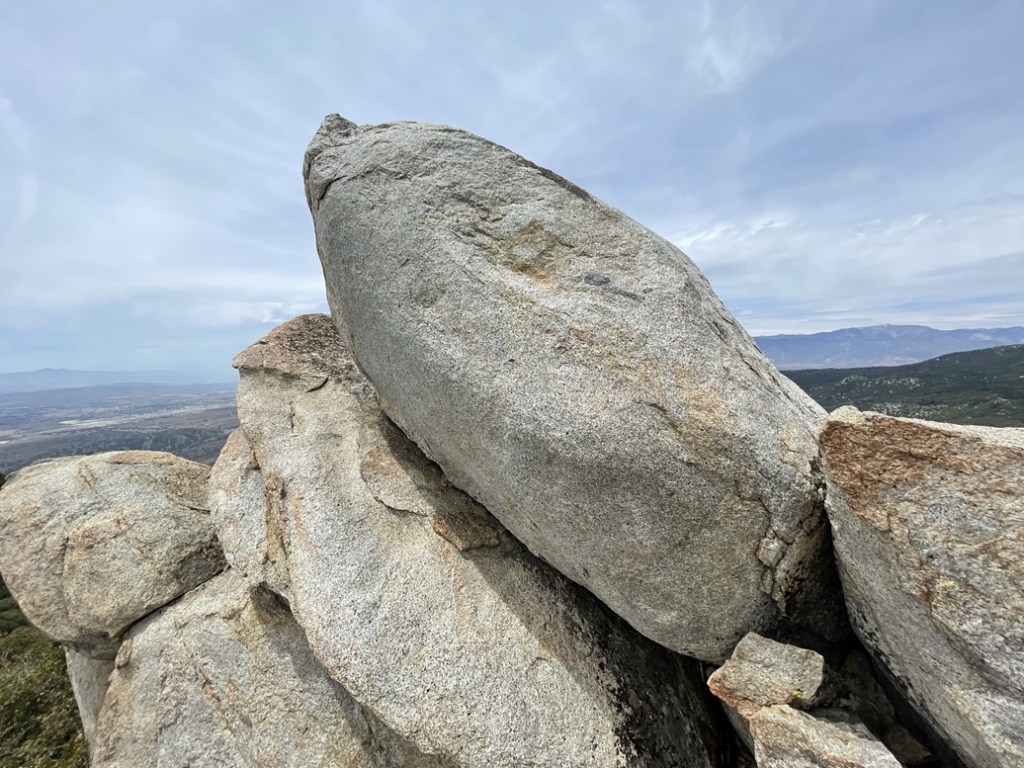
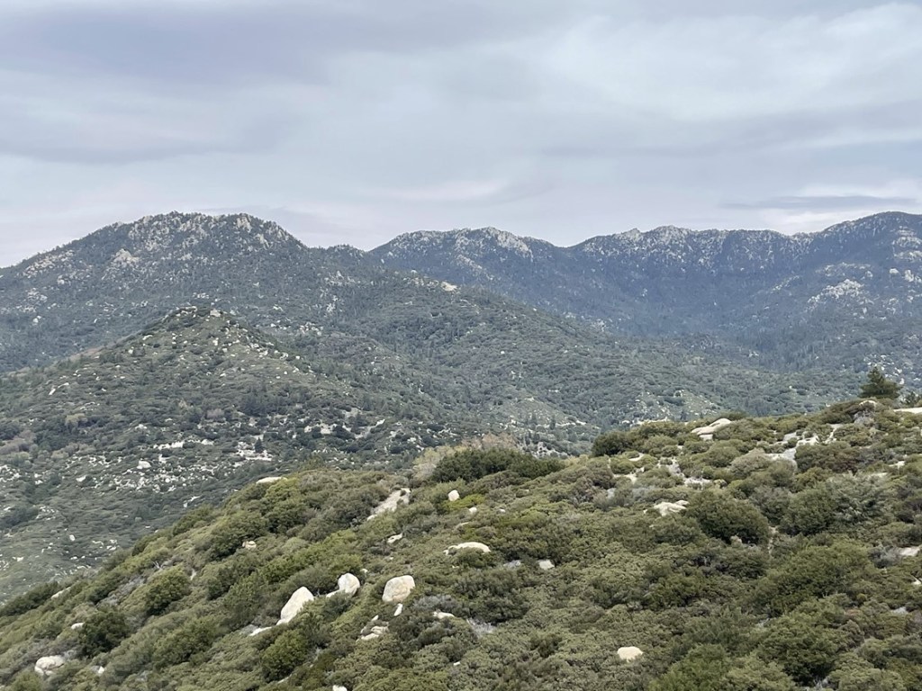
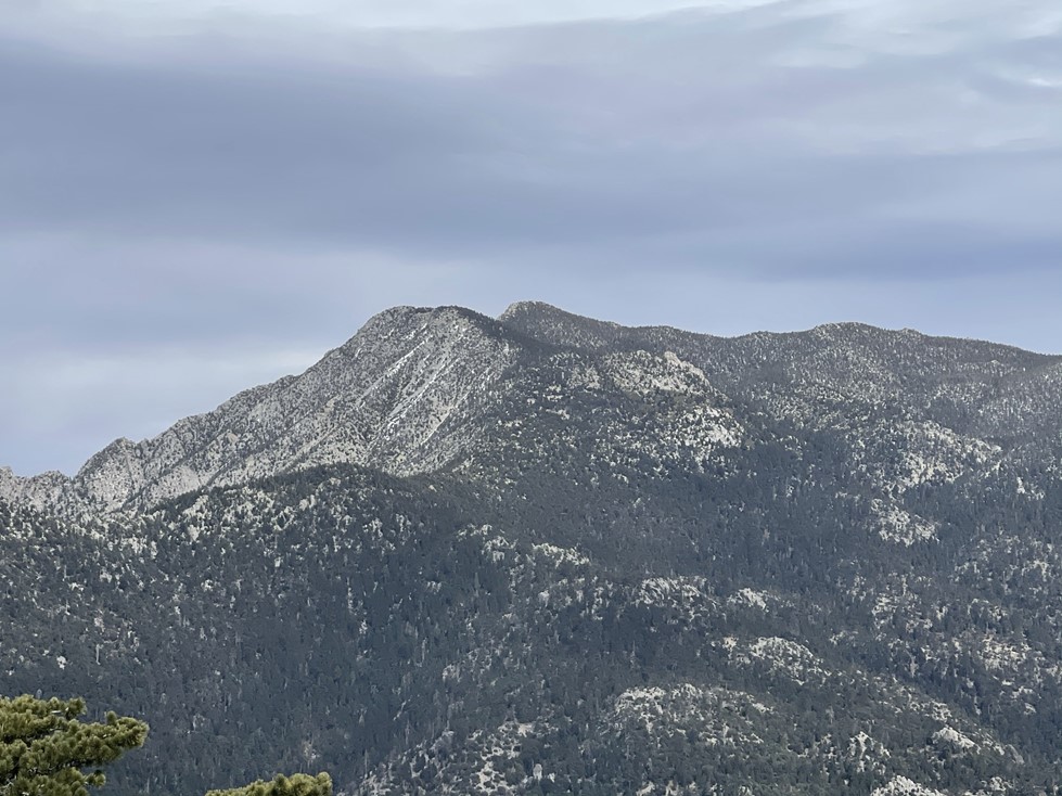
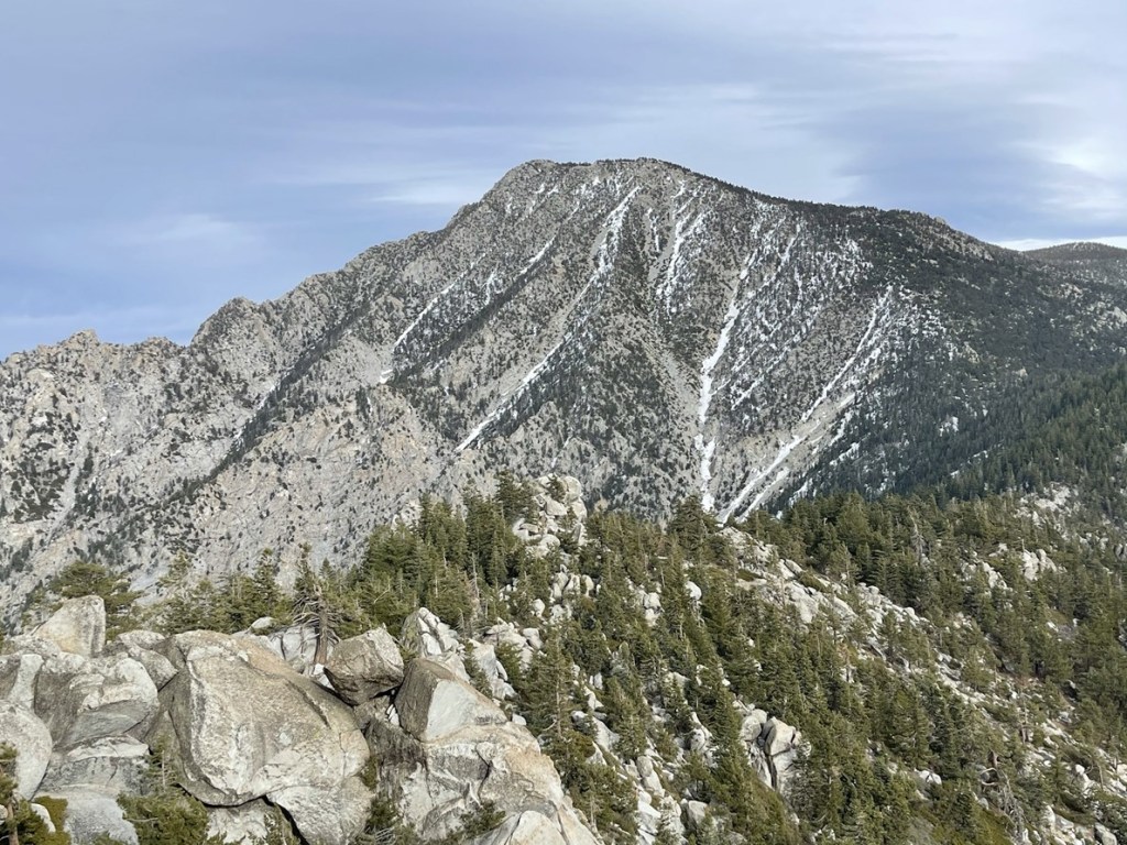
I climbed up and reached the summit at 1pm at the 3 mile mark! I signed the register which dated to 2014. The previous entry was from April 18th. I had an excellent view of San Jacinto:

It was pretty hazy, but I could see Mount Baldy to the northwest:

And Santiago and Modjeska to the west:

I could also see the peaks I planned to climb later that day. Black Mountain is on the left and Castle Rocks is on the right:
After a short break I climbed back down and returned to the road.
I ran into the same 2 hikers from before just below the summit. After passing them I retraced my steps back to the car.

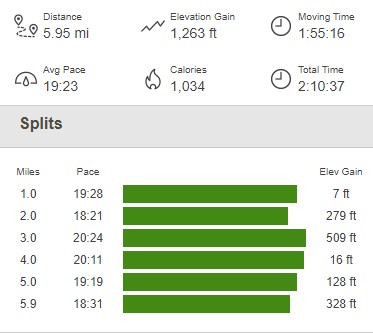
I reached the car at 2:12pm. This hike totaled 5.95 miles, 1263 feet elevation gain, and 2:10:37 total time.

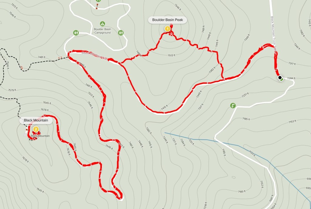
Black Mountain and Boulder Basin Peak
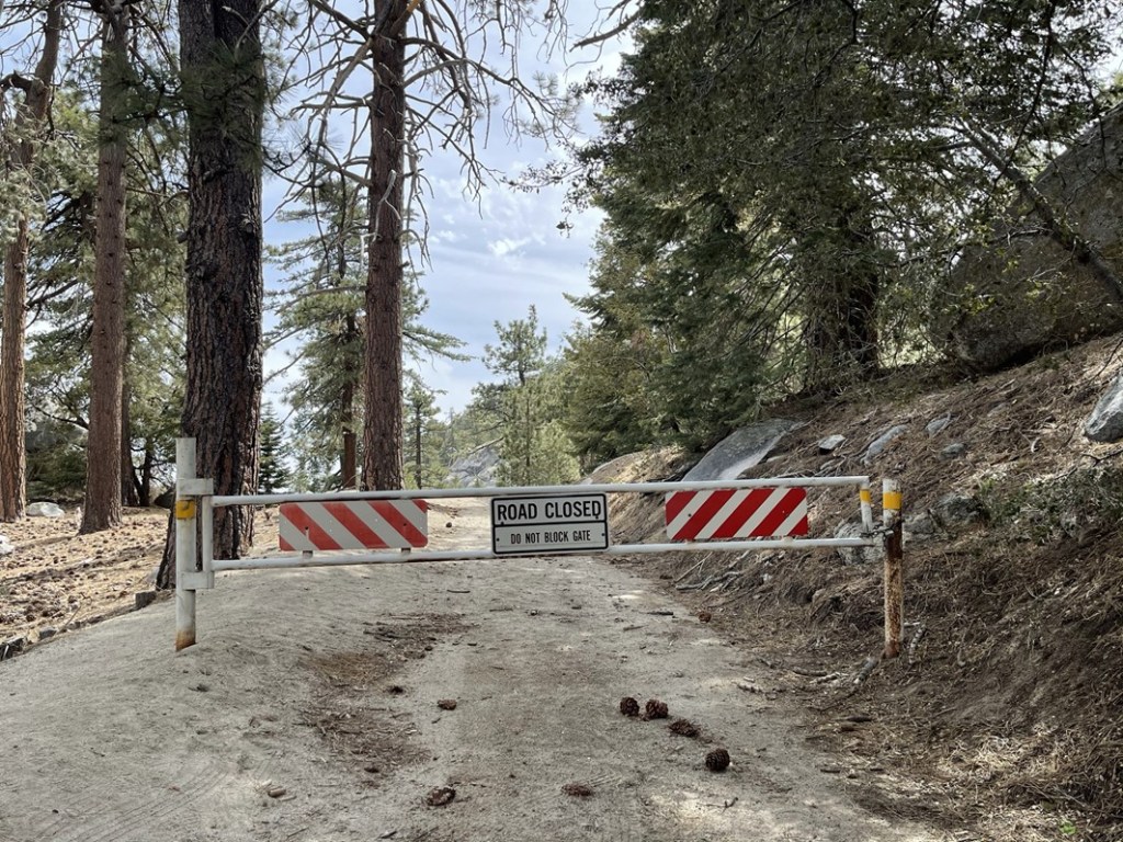
I got in the car and drove 1.3 miles east to the Black Mountain Truck Trail (Forest Road 4S01). I then drove about 5 miles up the road and parked where a spur road leads to the fire lookout on Black Mountain (7772 feet). The spur road was gated and there were 20-30 cars parked on the road leading up to it. I was expecting to see numerous hikers on the road to Black Mountain, but I found out later that this area is very popular for bouldering which likely explains all the vehicles. I started this hike at 2:55pm from 7303 feet.

At 0.1 mile I passed through the locked gate. I don’t think it’s locked all year.
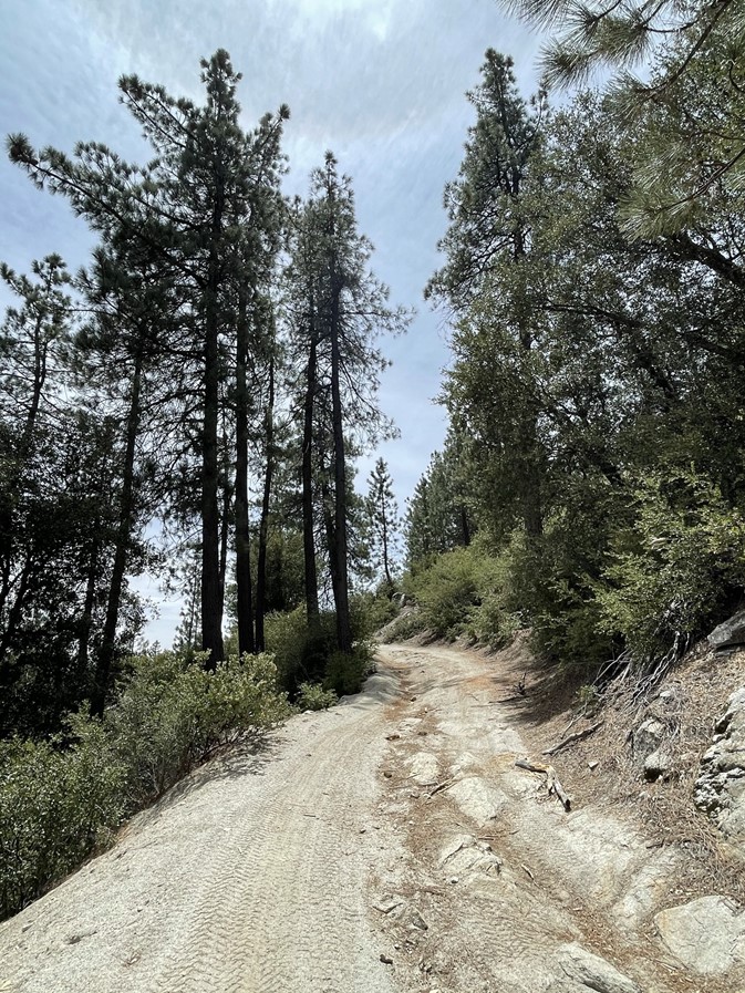
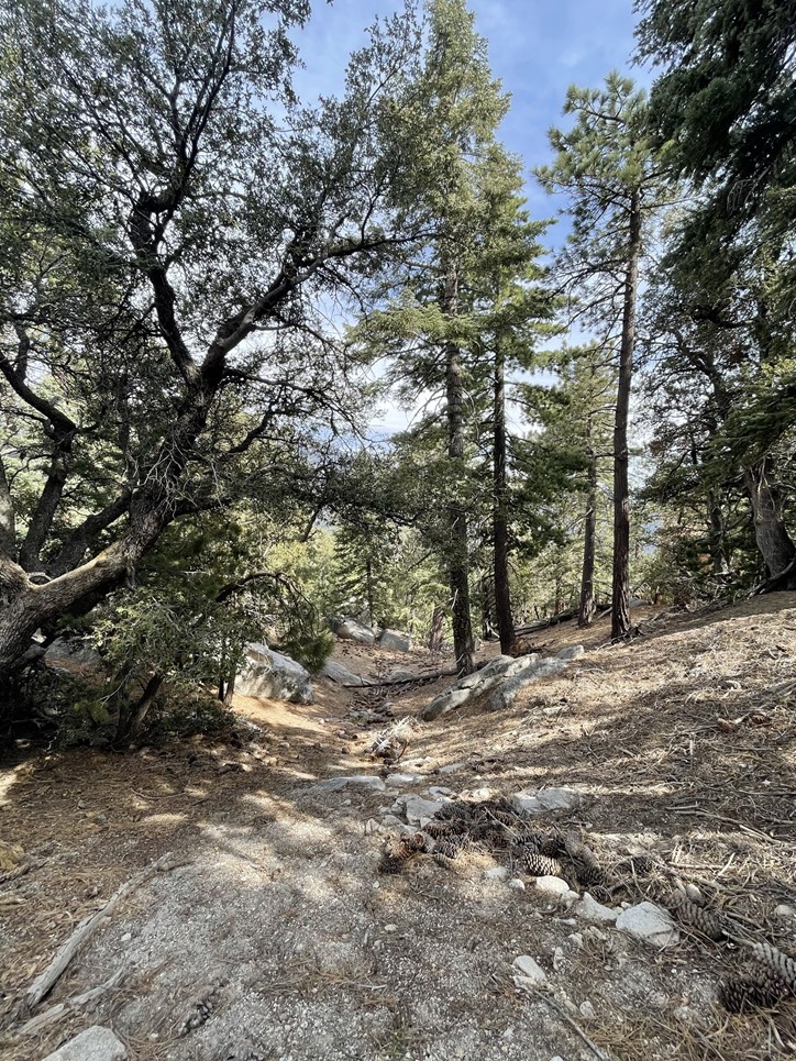
I was about 2000 feet higher than the first hike, so the area was much more forested.

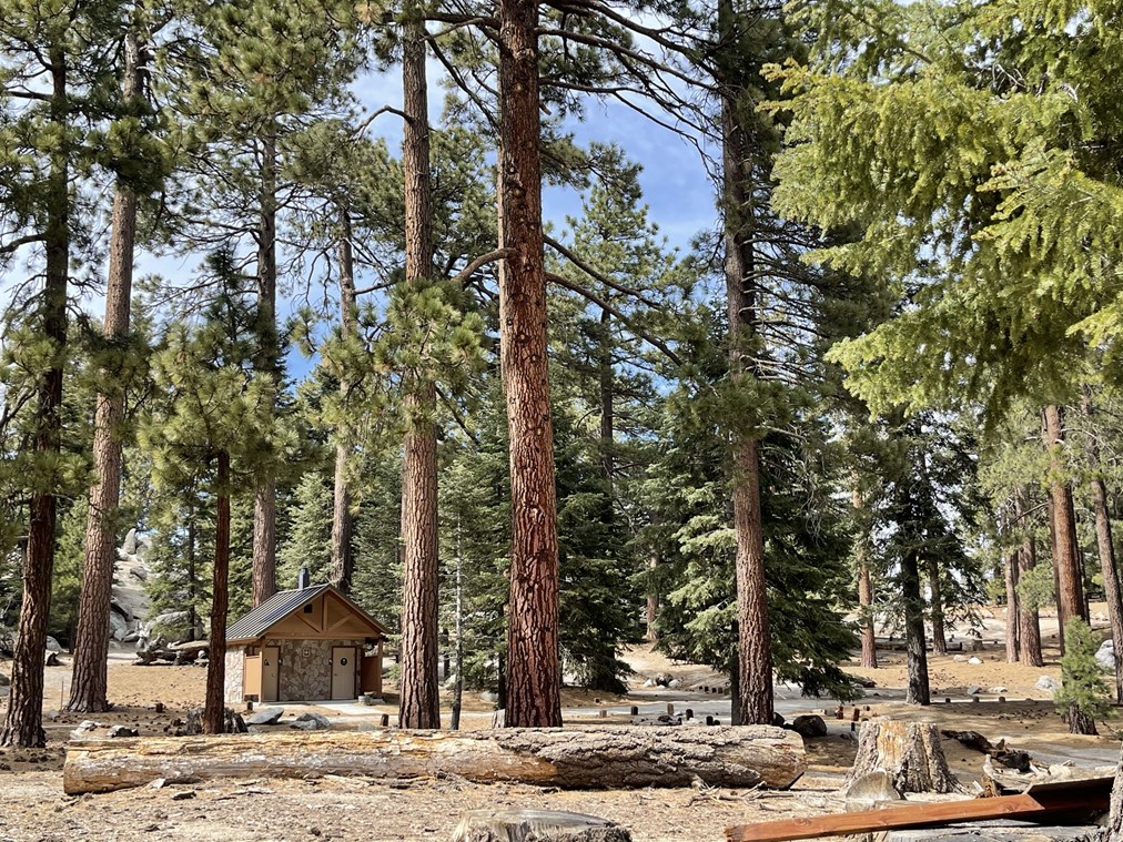
At 0.5 mile I passed Boulder Basin Campground, which was closed (not sure why). It looked like a really beautiful campground.
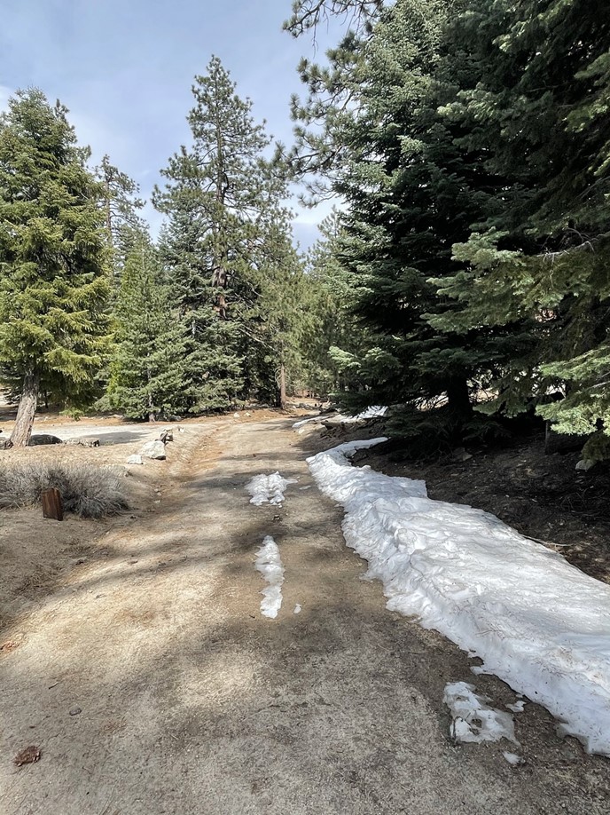
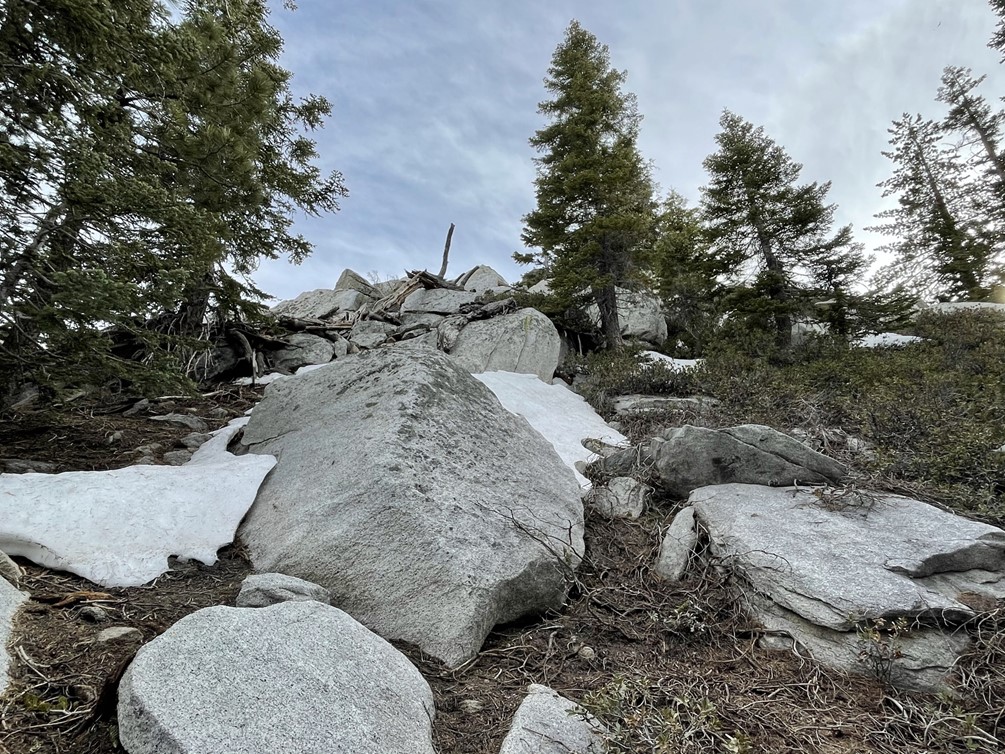
There were some small snowdrifts on the side of the road.

I passed through another locked gate right after the campground. I continued climbing towards the summit.

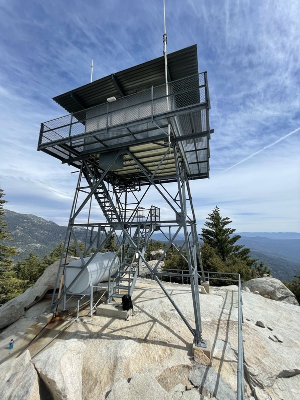
I soon reached the summit area just below the fire lookout. There was a paved path leading to the top.
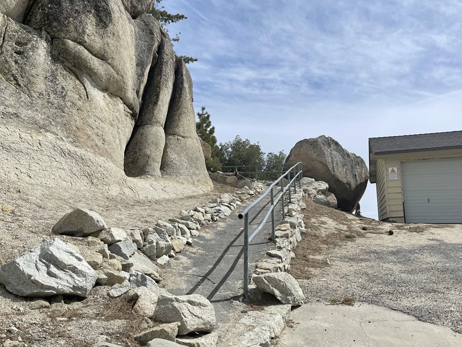
I reached the summit at 3:20pm at 1.2 miles! There was no one manning the lookout tower.
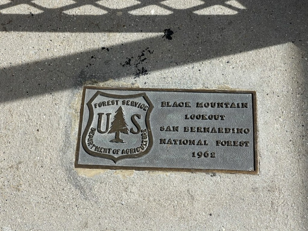
I did not find a register or any survey markers. The views weren’t as good as I was hoping due to tree cover and cloudiness/haze. San Jacinto looked as impressive as always.
There were 3 other hikers on the summit along with 2 dogs. The dogs weren’t very friendly and didn’t stop barking at me the whole time I was up there. I got annoyed pretty quickly so began descending after a very short break.
I reached the campground again at 2 miles and left the road to climb a minor peak called Boulder Basin Peak (7621 feet). It was a short climb from the road, but it was fairly steep. The ground was covered in pine needles which caused me to slip a few times.
I reached the top at 3:51pm at 2.1 miles. There were a few large boulders competing for the highest point. They all looked beyond my climbing ability, so I just decided to hike back down to the road.
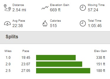
I reached the car again at 4:01pm. This hike was a short 2.54 miles, 669 feet elevation gain, and 1:05:46 total time.
Castle Rocks and CT Overlook
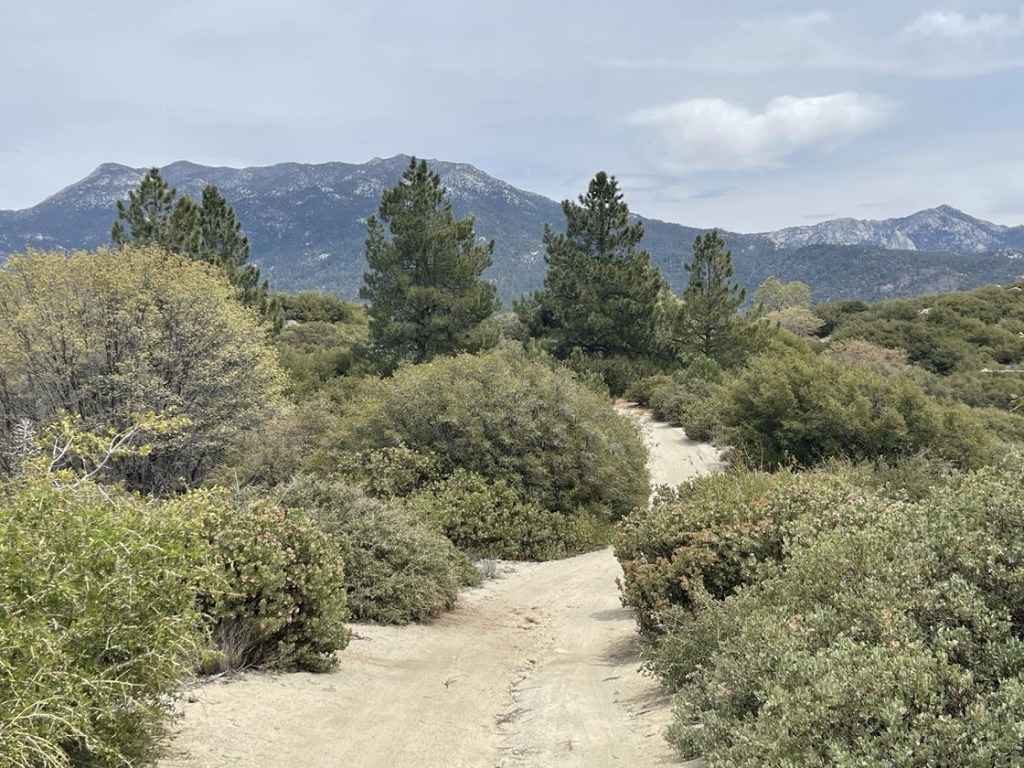
My last peak for the day was Castle Rocks (8600 feet). I got back in the car and continued driving up the Black Mountain Truck Trail. After about 3 miles I parked at the Fuller Ridge PCT Trailhead. There were a lot of people camping along the road and even a large group setup in the trailhead parking lot. This would be a very cold place to camp this time of year. I started this hike at 4:23pm from 7727 feet.

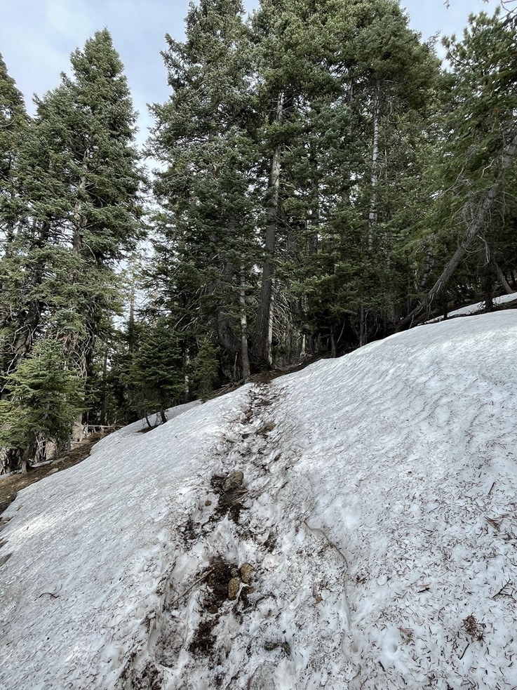
I began heading east on the PCT. Parts of the trail were covered in snow.
I ran into a few groups of PCT hikers heading north towards Canada. I’m guessing they were just a week or 2 into their thru hike. The snow coverage got worse as I went higher. I wasn’t expecting there to be this much snow, but it made sense when I realized that this section of the PCT is on a north-facing slope.
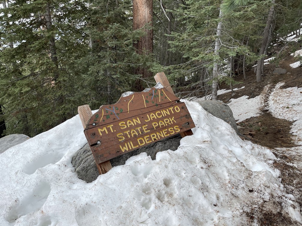
At 1.5 miles I passed a state park wilderness sign.
Shortly after that I chatted with a backpacker heading the other way. He wasn’t thru hiking the PCT but was just out for the weekend. He told me he had climbed Castle Rocks before. Castle Rocks was a few hundred feet above the PCT, so I told him I was concerned about ascending the steep slope covered in snow. He suggested I stay on the PCT a little further, gain the ridge east of Castle Rocks, and then backtrack towards the summit. I looked at the map and decided this made a lot of sense since it would avoid going straight up the slope.

I continued hiking east as the PCT made a few switchbacks up to the ridge. The trail was getting harder to follow, but thankfully there were many bootprints to help guide the way.
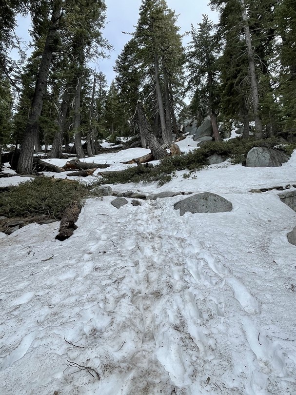
I left the trail at 1.9 miles and climbed up to the ridge. Unfortunately, the ridgeline was too rocky to stay right on top of it. I was hoping I could hike on the south side of the ridge to avoid the snow but there were steep cliffs on that side.

I stayed on the north side of the ridge which thankfully wasn’t too difficult. There were some snowdrifts to cross and I postholed up to my thighs a few times. I soon reached the summit area and climbed up the low class 3 summit block. I was on top at 5:26pm at 2.2 miles!

It was cold and windy on top, so I had to bundle up. I signed the register which dated to 2009. The previous entry was from October 22, 2020. I was surprised at how long ago that was, but I did not find any more recent entries. San Jacinto looked incredible from so close. The steep north face still had a lot of snow on it.
I took a short break and then climbed down from the summit block. There was another minor Peakbagger peak that I wanted to climb nearby called CT Overlook (8480 feet). I descended northeast to a small saddle between the 2 peaks.
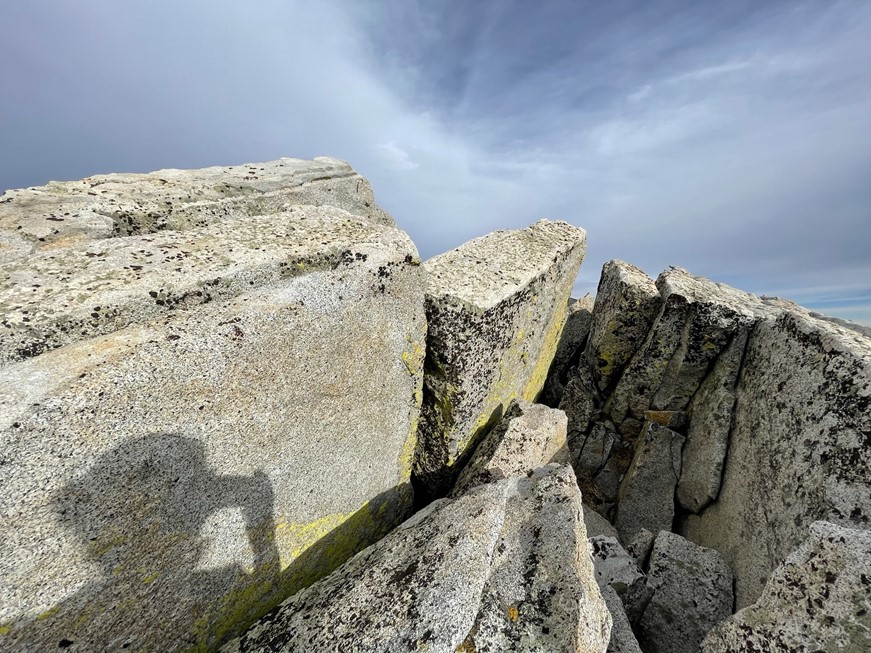
The summit area had some very cool jagged rock formations. I reached the top at 5:48pm at 2.4 miles!
The views here were pretty much the same. Castle Rocks is in the foreground below with San Jacinto in the background.

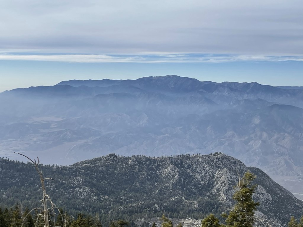
San Gorgonio looked impressive to the north.
I could also see the San Gorgonio Pass Wind Farm down in the desert below.

I then descended down the snow covered slope. This part was fun as I was able to “plunge step” down certain parts.

I reached the PCT again at 2.6 miles.

While on the way back I attempted one more Peakbagger peak called Fuller Ridge Peak (8462 feet). I made it about halfway up the slope but then turned around due to heavy brush. I could have made it all the way if I had wanted to, but it was getting late, and I really wasn’t in the mood for serious bushwacking. I turned around and hiked back to the trailhead on the PCT. I reached the car once more at 6:55pm. This hike totaled 4.34 miles, 1158 feet elevation gain, and 2:31:11 total time.


I packed up and drove back down to Highway 243. I decided to spend the night on the road to Indian Mountain as I figured it would be quiet. I drove in about a quarter mile before the road got too rough and then parked. I had a great, but short, night of sleep.
