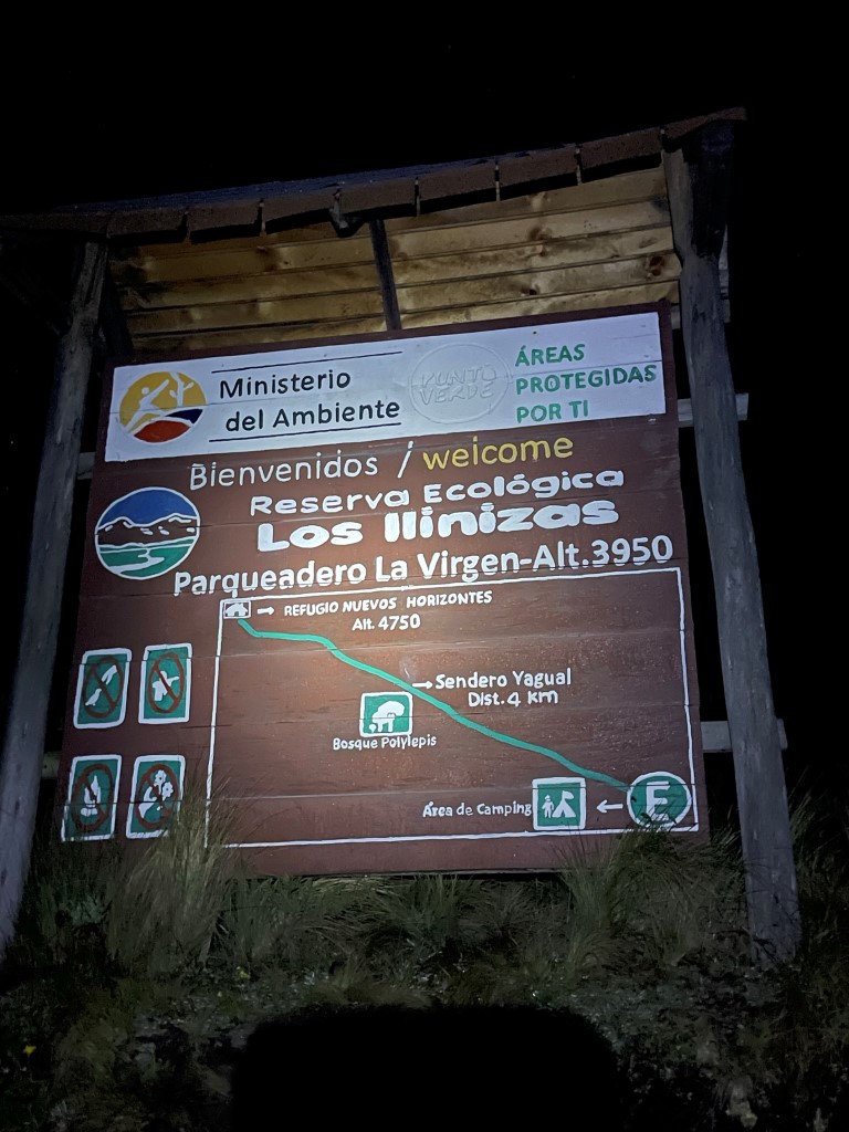
Los Ilinizas are a pair of high volcanoes in Ecuador located southwest of Quito. Iliniza Sur (south) is slightly higher at 17195 feet, while Iliniza Norte (North) stands at 16831 feet. Iliniza Sur is the more technical mountain, and often requires ice climbing skills to summit. We were on a 2 week trip to Ecuador with plans to climb Chimborazo and Cayambe. Iliniza Norte would be the 2nd of our acclimatization hikes, having already climbed 15696 foot Pichincha the day before. We woke up around 2:30am at our hostel in Machachi and drove about an hour to Reserva Ecologica Los Ilinizas. We reached a locked gate about 2.5 miles from the trailhead, which our guide expected since the park doesn’t open until 8am. We began hiking here at 4:04am from 11832 feet above sea level.
We hiked about an hour up the dirt road by the light of our headlamps. At 2.4 miles we reached the standard trailhead at 13000 feet.
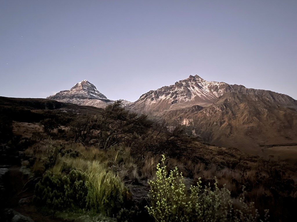
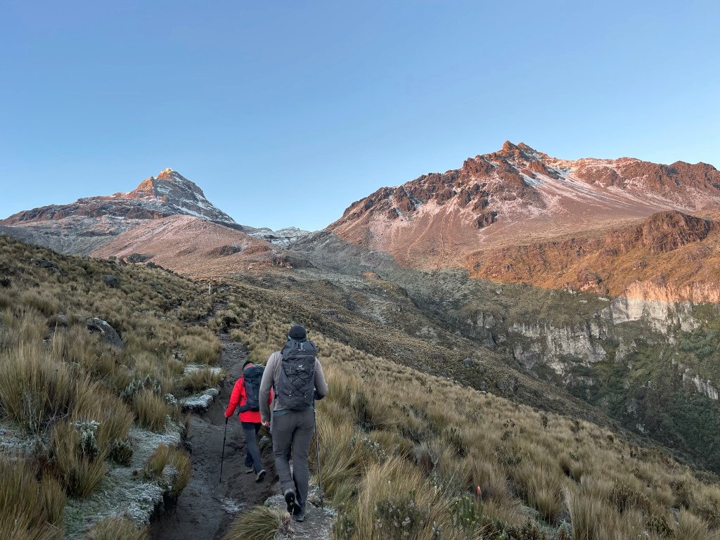
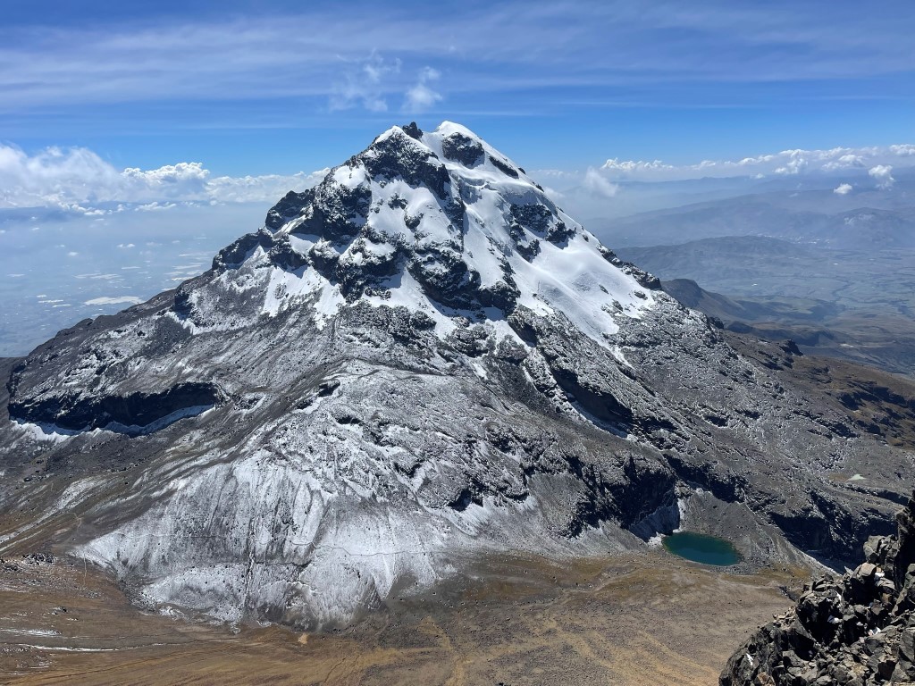
There were a couple cars in the small parking lot. From there we continued up the single track trail. It was a bit cold but otherwise the weather was absolutely beautiful. It was our 4th day in Ecuador but the first with clear skies in the morning. We soon had an excellent view of the twin volcanoes in front of us. Iliniza Sur is on the left and Iliniza Norte is on the right.
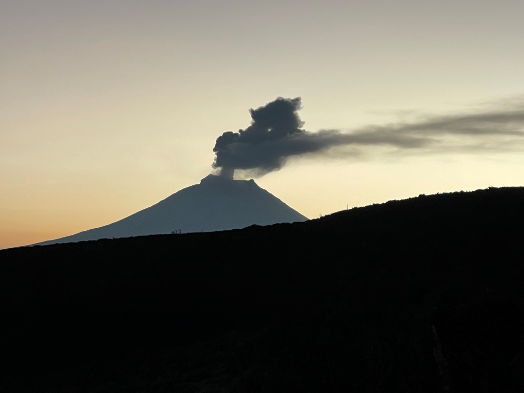
Before the sun came up, we noticed a couple lights on Iliniza Sur which we took to be headlamps. Behind us we had a stunning view of Ecuador’s 2nd highest volcano, Cotopaxi. We had originally been hoping to climb Cotopaxi when we planned the trip a few months ago, but unfortunately the mountain was closed due to volcanic activity. We could plainly see the smoke rising from the top of the volcano which was a very impressive sight.
We continued southwest towards the saddle between the 2 volcanoes.
The sun rose just to the right of Cotopaxi.

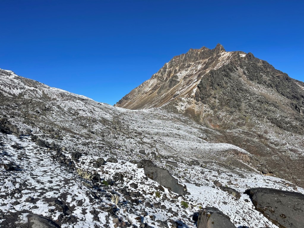
A dusting of fresh snow covered the ground.
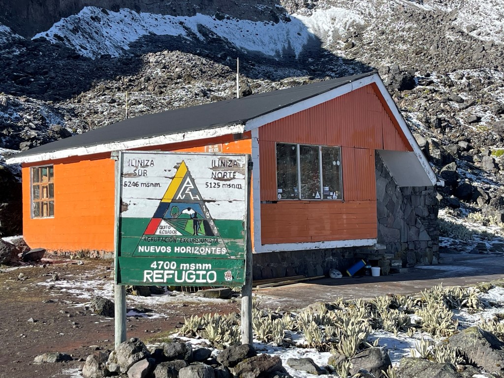
At 5.2 miles we reached the refugio at 15550 feet. It was unoccupied.
Now at the saddle, we turned north towards Iliniza Norte.
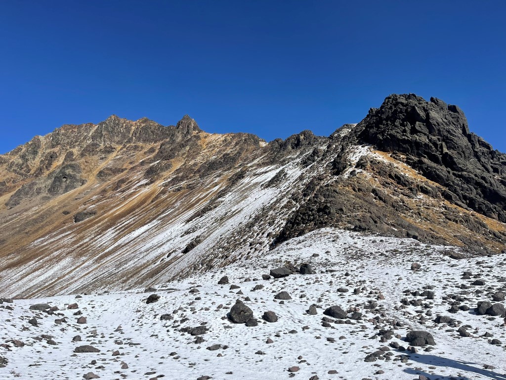
We followed a decent trail directly up the southeast ridge. The trail was very wet and slippery.
We turned northwest about halfway up from the saddle.
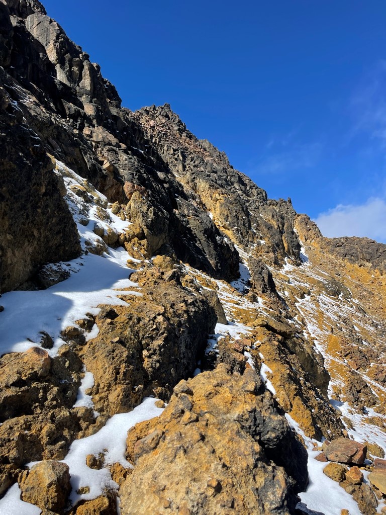
Towards the top the trail wrapped around to the north facing side of the mountain which had some snow on it. This included one very slippery section known as “Paso de la Muerte” (Pass of Death).
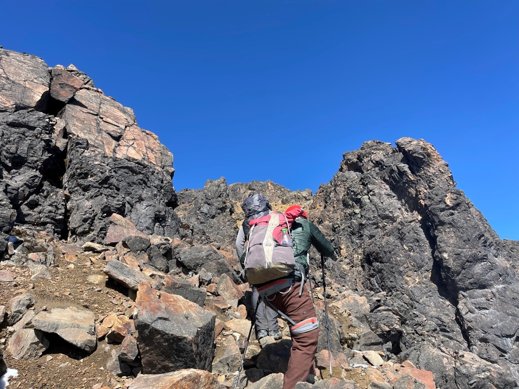
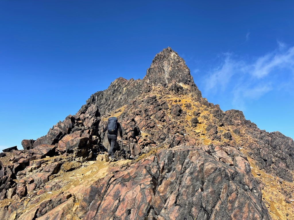
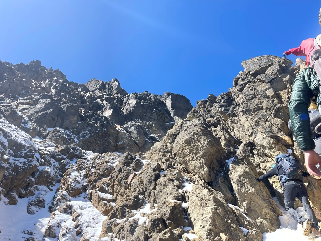
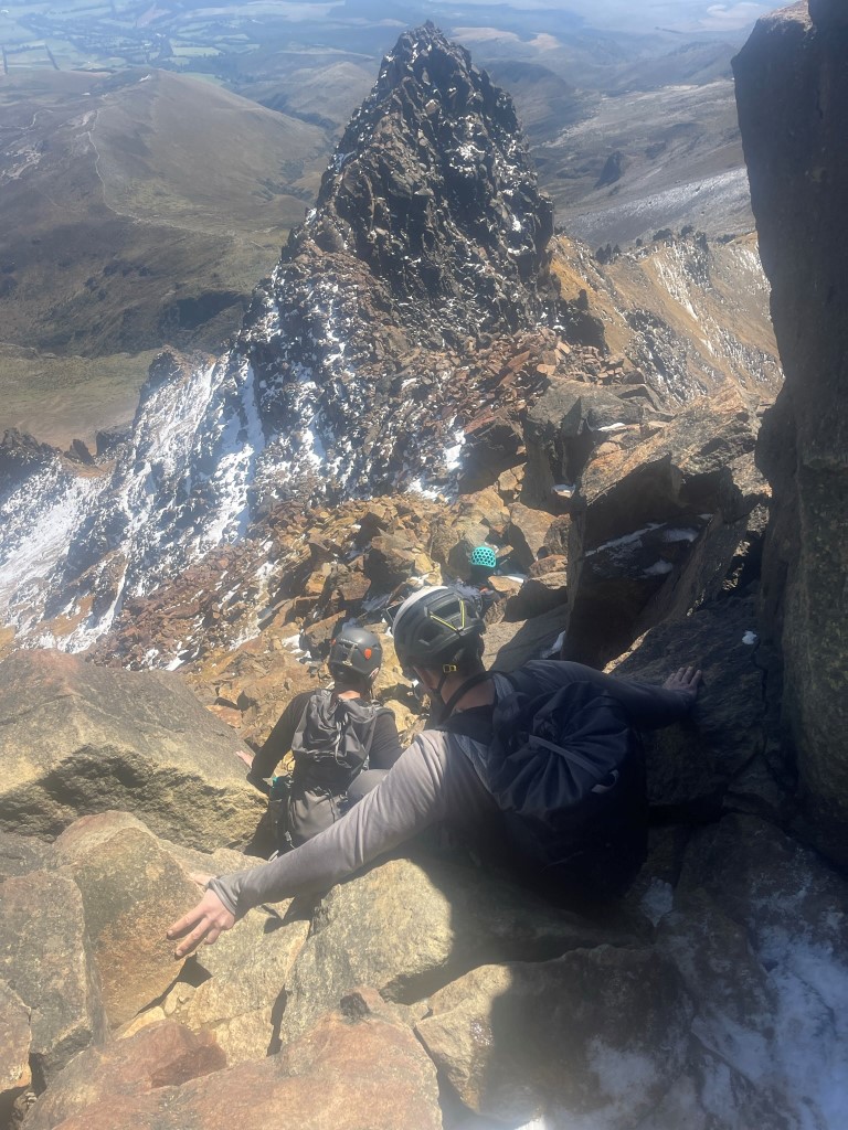
Just below the summit we put our poles down and climbed up class 3 rock to make the final push.
We reached the summit at 10:28am at 6.2 miles! Iliniza Sur to the south:
Cotopaxi to the east:

Antisana (Ecuador’s 4th highest volcano) to the northeast:

Cayambe (Ecuador’s 3rd highest volcano) to the northeast:

We took a nice break and enjoyed the views before descending. The weather was very pleasant even though we were nearly at 17000 feet. It was the highest I had ever been at that point, and I was very pleased with how my body was handling the altitude. We then descended the class 3 section:
We took a different route down from there. We descended directly east down a loose sandy slope. This would have been very tedious to climb up but made for a very quick descent.

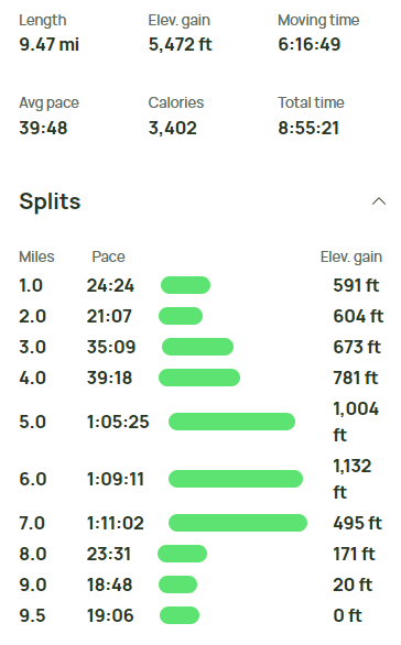
We rejoined our ascent route below the refugio. From there, it was an easy hike back to the trailhead which we reached at 1pm. We were picked up at the standard trailhead, so we did not have to hike all the way down to the locked gate we started at. Stats for this hike were 9.47 miles, 5472 feet elevation gain, and 8:55:21 total time.