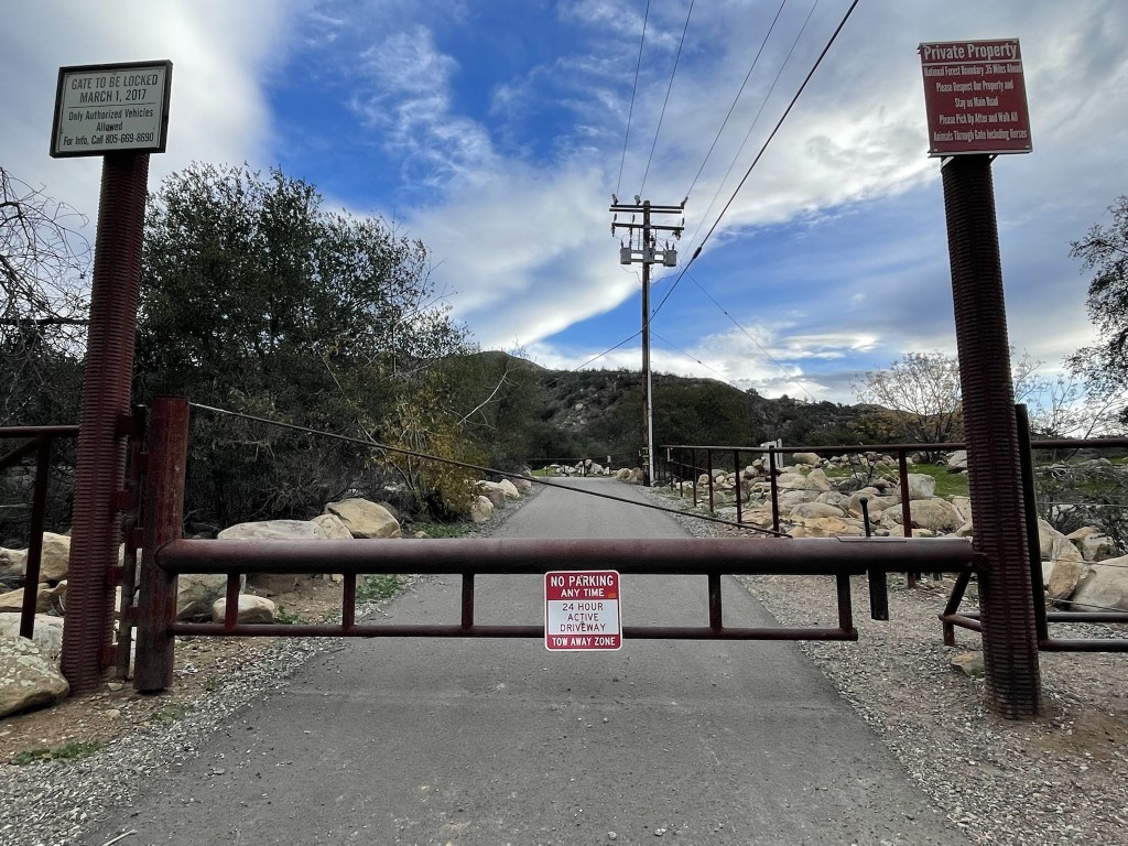
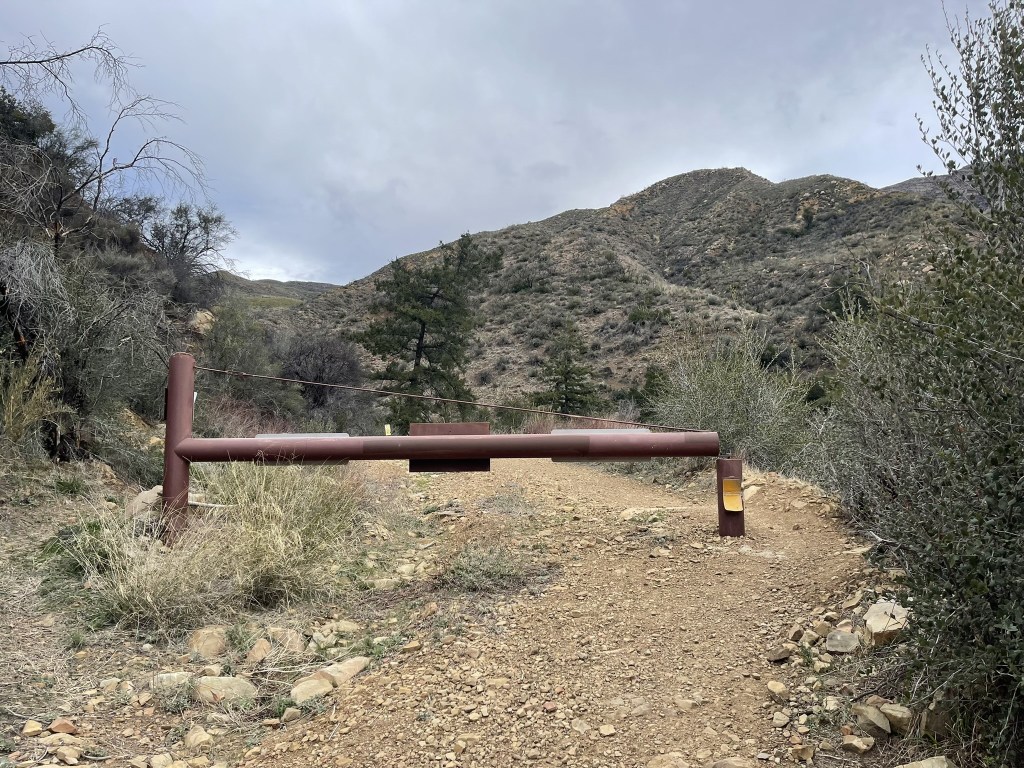
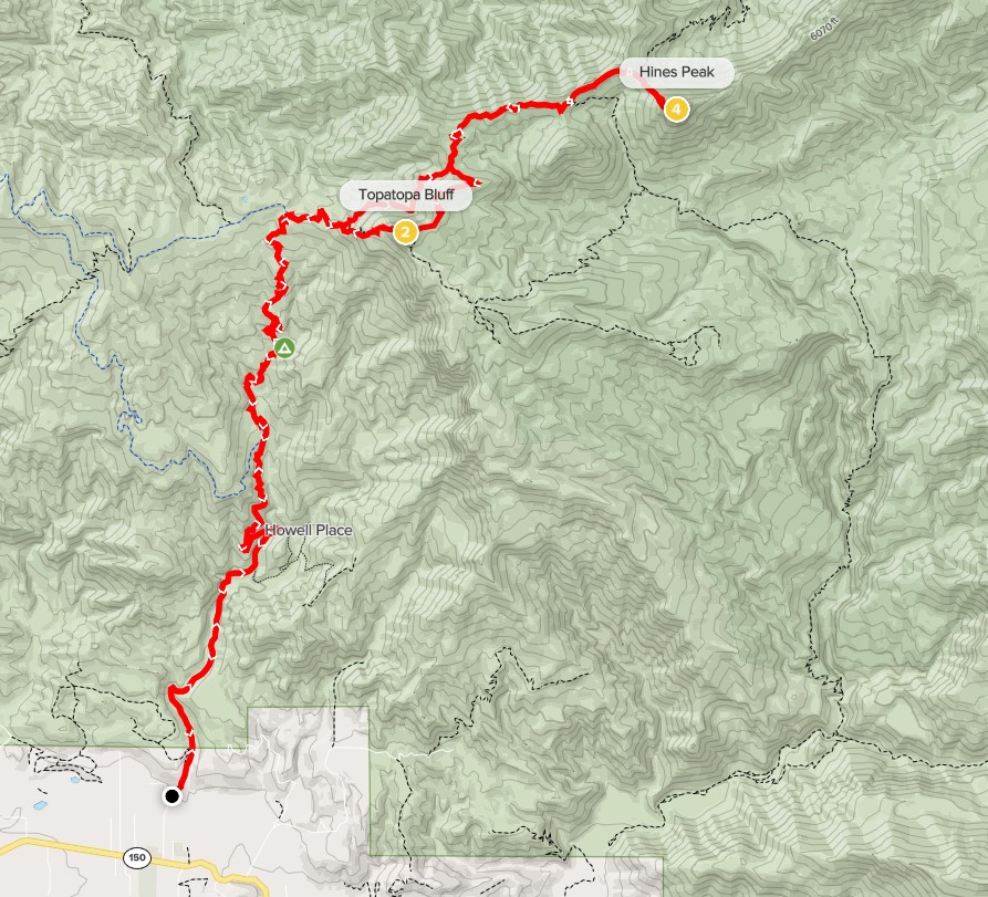
Hines Peak is a 6716 foot peak located in Ventura County. It is the highpoint of the Topatopa Mountains which are northeast of Ventura. With 3196 feet of prominence, it is the 37th most prominent peak in California. I planned to climb Hines Peak as well as Topatopa Bluff (6367 feet) from the Sisar Canyon Trailhead, which would involve a long hike on dirt roads and trails. I left San Diego early and made the 3 hour drive to the trailhead, which is located in a residential neighborhood on Sisar Road just off Highway 150. I began hiking at 8:02am from 1611 feet above sea level. I passed through a gate blocking vehicular traffic.
The road quickly turned to dirt as it went north away from the neighborhood. The road is surrounded by private property on both sides for the first section. I passed through another gate at 0.5 mile.

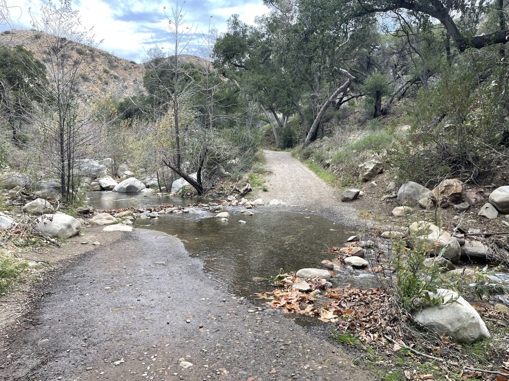
I entered Los Padres National Forest and then crossed Sisar Creek at 0.7 mile. I was able to stay dry by hopping across the rocks on the right side.
The road paralleled the creek as it continued north. At 1.7 miles I crossed the creek once again. I was able to walk across the log on the right side.

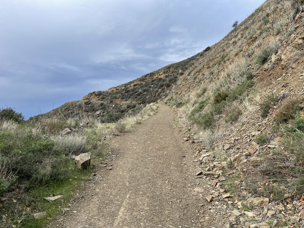
Shortly after that the road made a big switchback and climbed up the left side of Sisar Canyon.
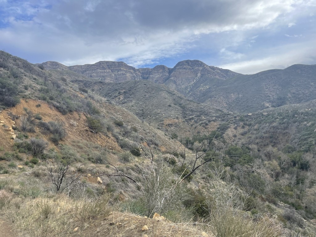
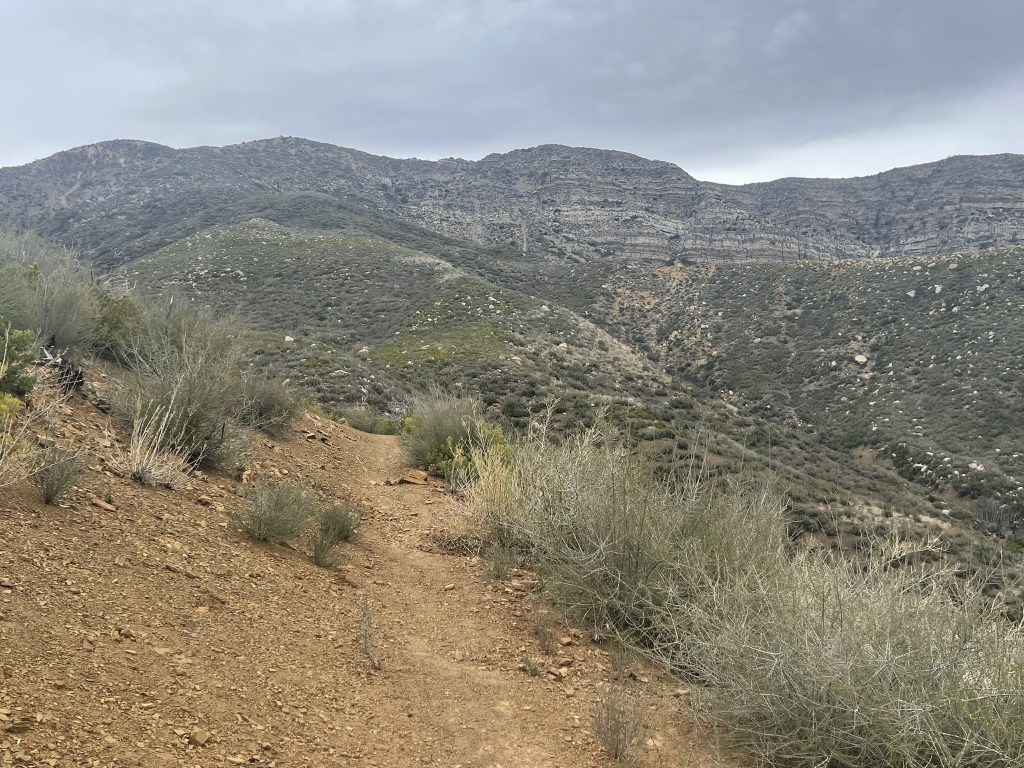
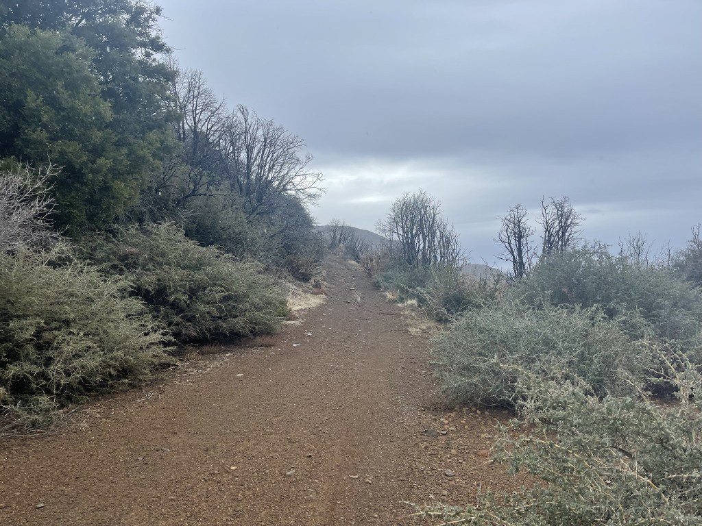
I got my first look at the Topatopa Mountains to the north. Hines Peak was not visible yet.
I passed through another gate at 3.8 miles.
After the gate I continued north onto the Red Reef Trail. The road heads off to the northwest from here.
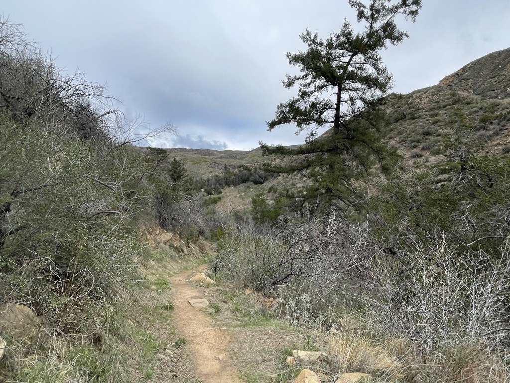
The trail went through some pretty wooded sections as it continued up the canyon.

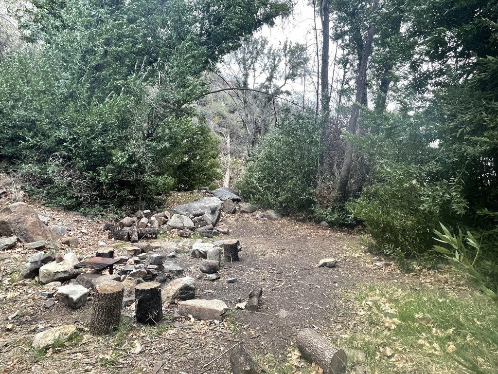
At 4.8 miles I reached White Ledge Campground, a backcountry campground with a few sites. They were all unoccupied when I passed through on my way up.
After the campground I continued north. The grade was never steep, but it was constant uphill the whole way. It started to rain on me at this point.
At 6.5 miles I reached Nordhoff Road, which is where the Red Reef Trail ends. I was at 5200 feet so had already climbed 3600 feet.
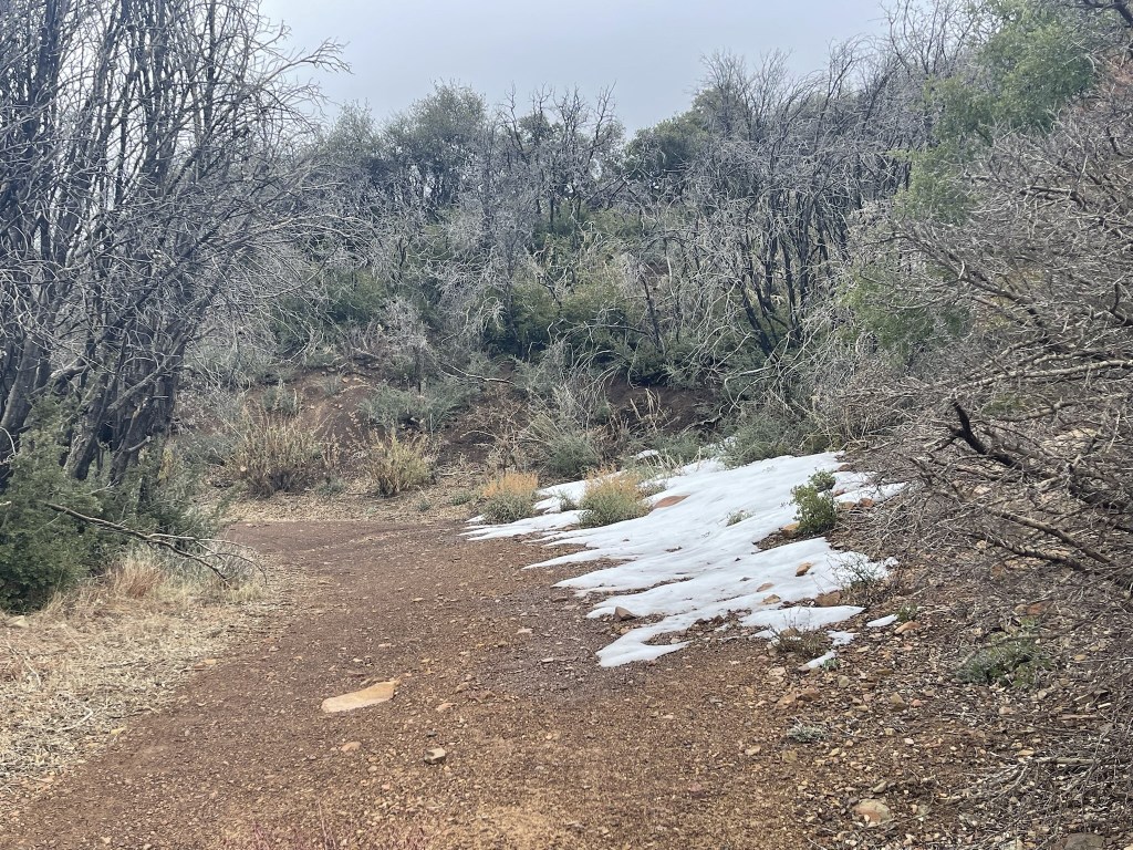
It was raining pretty steadily now. I turned east and then passed another hiker going the other way. I started to encounter snow patches around 5500 feet.
I passed through another gate.
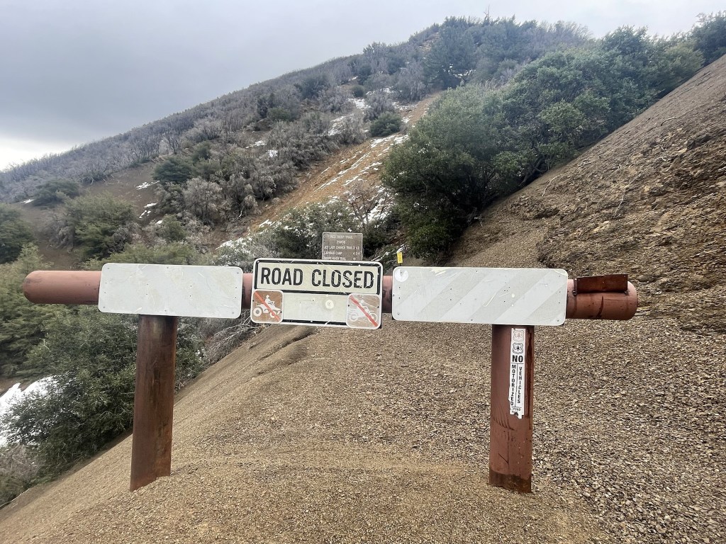
Much of the area appeared to have burned recently as most of the surrounding trees and shrubs were black.
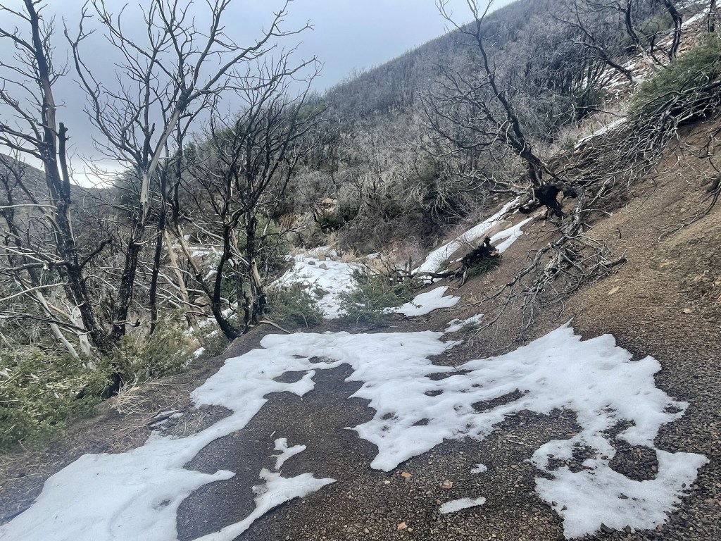
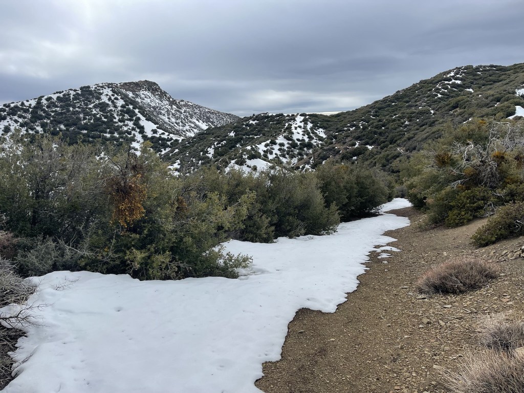
The road continued east as it wound its way along the north side of Topatopa Bluff. The north facing slope was covered in a few inches of snow.
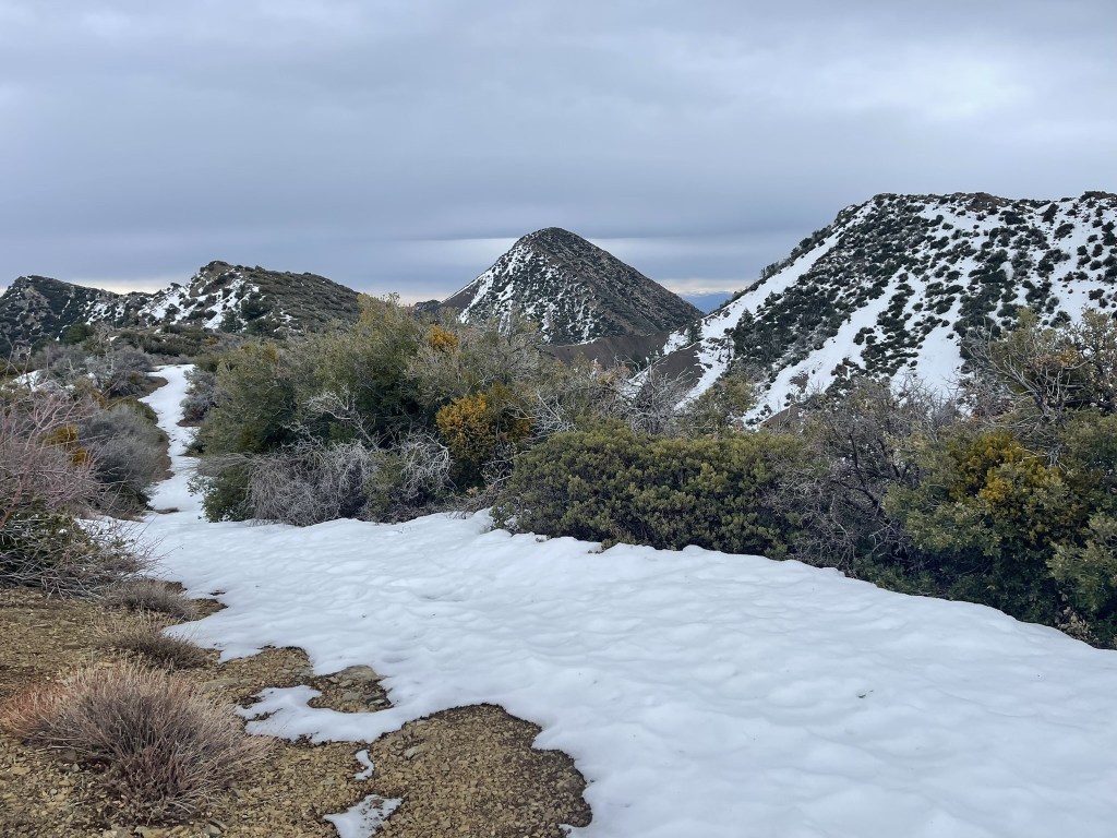
I planned to climb Topatopa Bluff on the way back, so I continued east towards Hines. The road turned north once I was past Topatopa Bluff and Hines Peak finally came into view.
The road turned east again as I neared Hines.

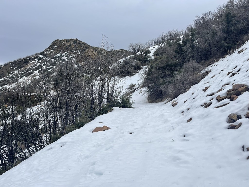
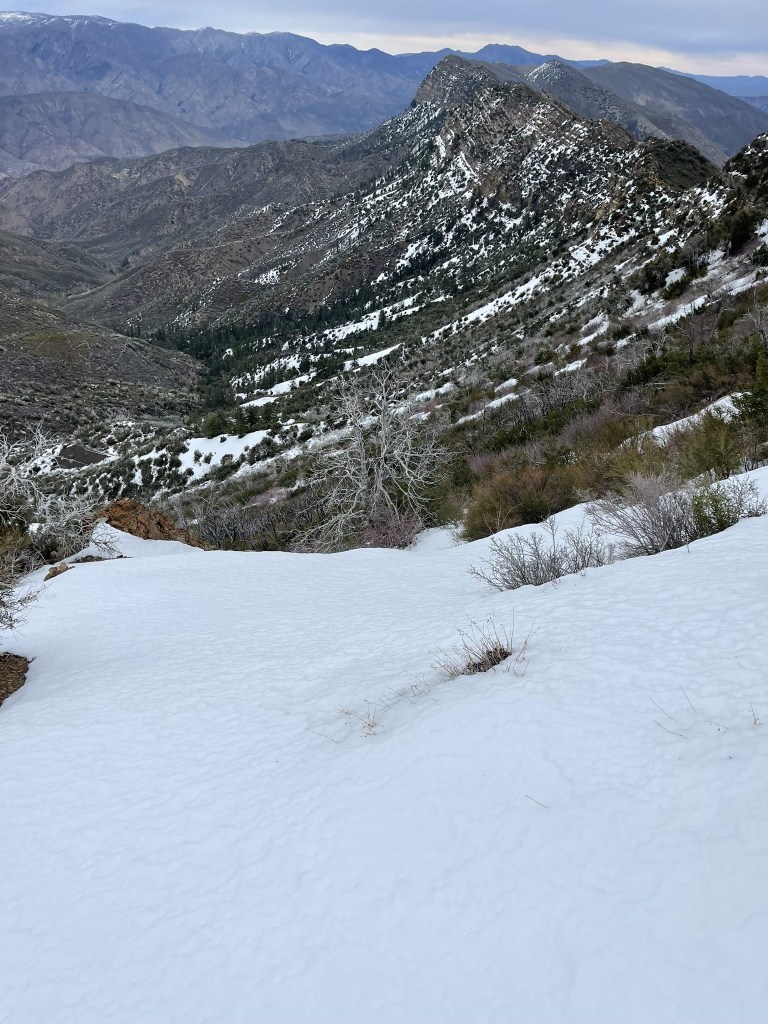
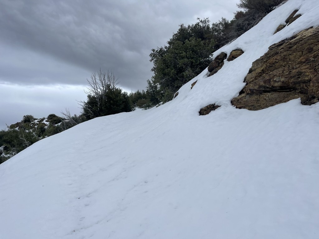
I reached the base of the final push at 10 miles. I was at 6000 feet, so I had about 700 feet to climb to the summit. The route would go up the north side of the peak which was covered in snow.

I used microspikes and poles for the ascent. Thankfully the snow had a crunchy layer on top which I was able to get decent traction on. I had to kick steps into the snow for the really steep sections. I also had to scramble up a few rocky parts.
The route was easier once I reached the ridge just west of the summit.
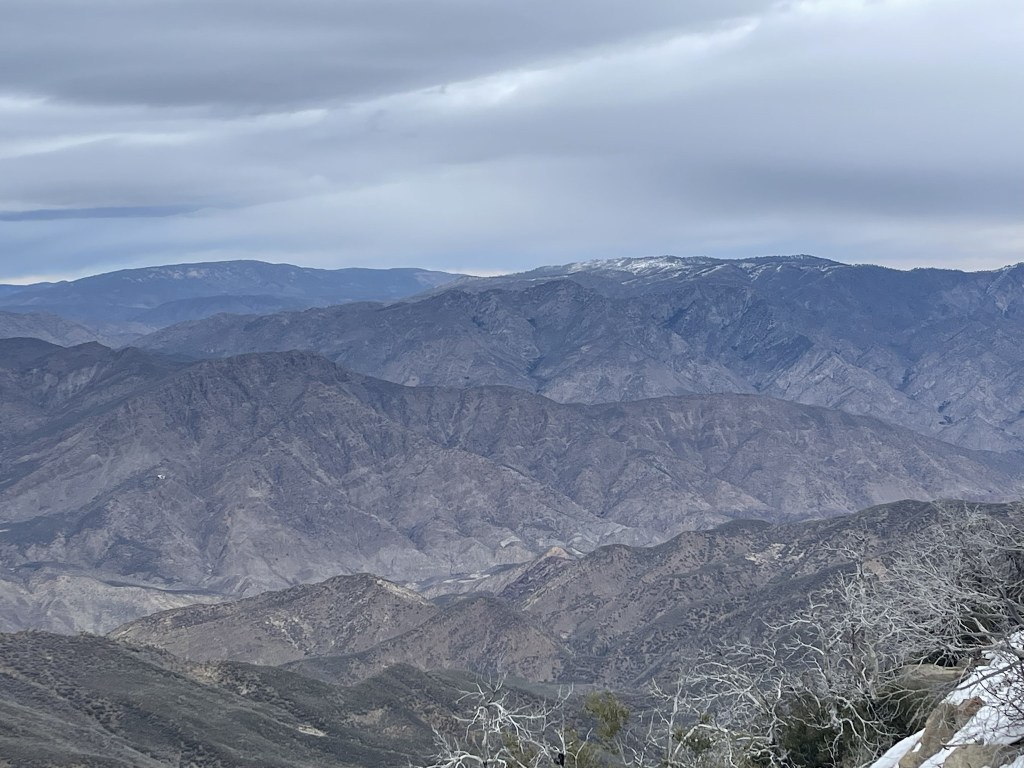
I reached the summit at 12:23pm at 10.4 miles! I did not locate the register since it was likely buried in the snow. The views were decent despite the cloud cover. To the north I could see Mount Pinos, the highpoint of Ventura County.
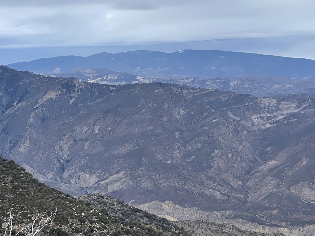
To the northeast I could see Frazier Mountain (left) and Alamo Mountain (right).
I began the descent after a short break.
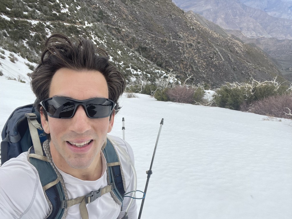
Going down was much easier than going up. Again, the snow was crunchy enough that I wasn’t concerned about sliding off the mountain.

I reached the road once more at 10.9 miles. I turned west and headed for Topatopa Bluff.
At 12.7 miles I left the main road and hiked southeast up Old Topatopa Bluff Road.
The road turned to the east and was much dryer on the south facing slope of the bluff.

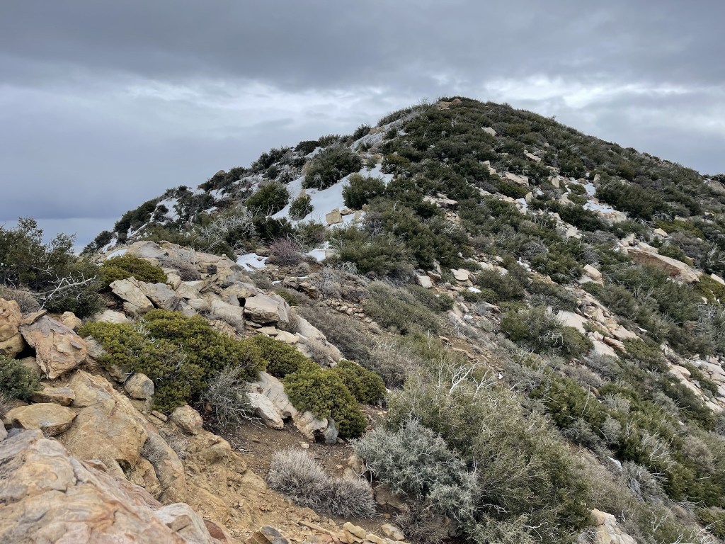
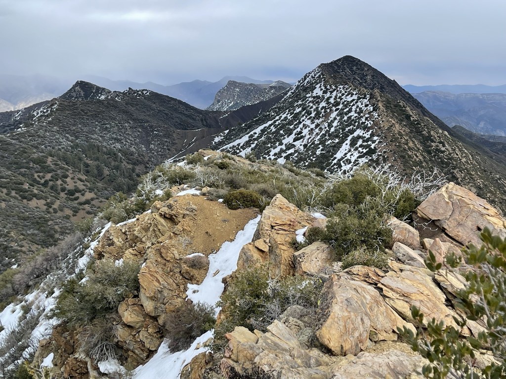
I climbed 2 extra Peakbagger peaks on my way to Topatopa Bluff. First, I reached Peak 6440 at 13.3 miles where I had a good view of Hines.
I reached Peak 6410 at 13.5 miles. Both peaks were just a short scramble from the road. This is looking west towards Topatopa Bluff:

After that it was just a short walk along the road to Topatopa Bluff.

I reached Topatopa Bluff at 2:18pm at 14 miles. The summit area was flat and looked like would be good for camping. There were a number of small rock piles.

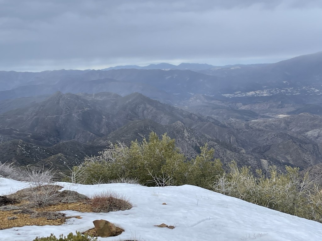
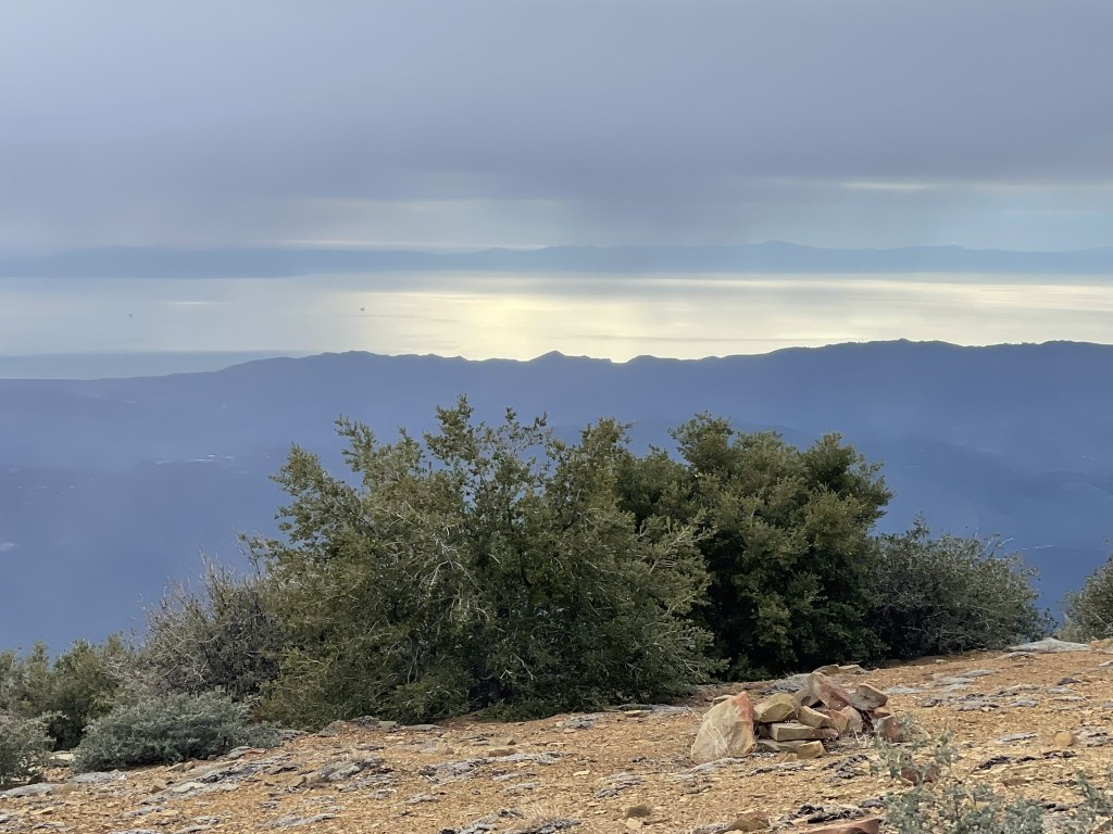
The views were okay but were definitely obstructed by the rainy conditions. I could see Reyes Peak to the northwest:
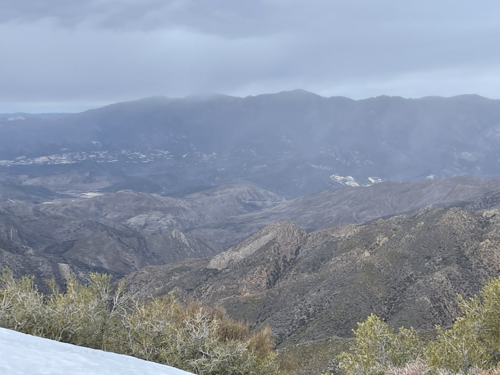
I could see Big Pine Mountain, the highpoint of Santa Barbara County, to the west:
I could barely make out Santa Cruz Island to the southwest:
Once I was done enjoying the views, I descended back to the road via a use trail which went west from the top of the bluff. It was a steep 1000 foot descent.

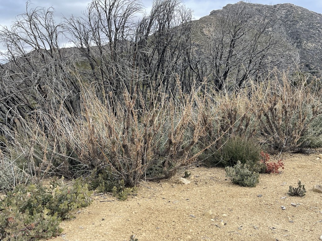
I reached the road again at 14.7 miles. From there, I retraced my steps to the Red Reef Trail which I took back down to the trailhead. Near the top of the canyon, I noticed some poodle dog bush on the side of the trail. Poodle dog bush is a plant native to Southern California that typically grows in recent burn areas. It is known to cause a similar reaction as poison oak, and many report it to be even worse. I’ve had poison oak contact before, so I don’t want to imagine what poodle dog bush would do to me. I was surprised I hadn’t noticed it on the way up, but I was thankful that the trail was wide enough that it wasn’t an issue to avoid. The leaves were brown so I’m not sure if the plants were dead or not.
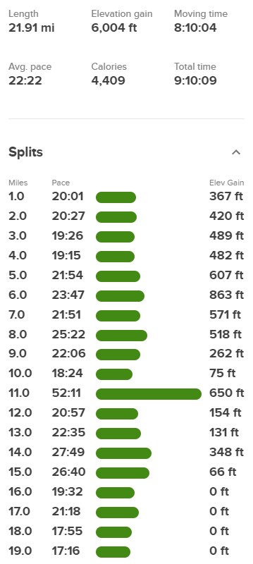
I made good time back to the trailhead. The campsites at White Ledge Campground were now occupied, and I saw other hikers closer to the bottom. I reached the car once more at 5:12pm. Stats for this hike were 21.91 miles, 6004 feet elevation gain, and 9:10:09 total time.

I stayed that night at a hotel in Ventura near the harbor.
