Granite Mountains High Point
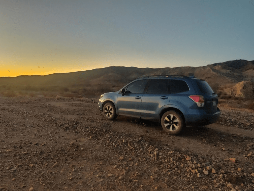
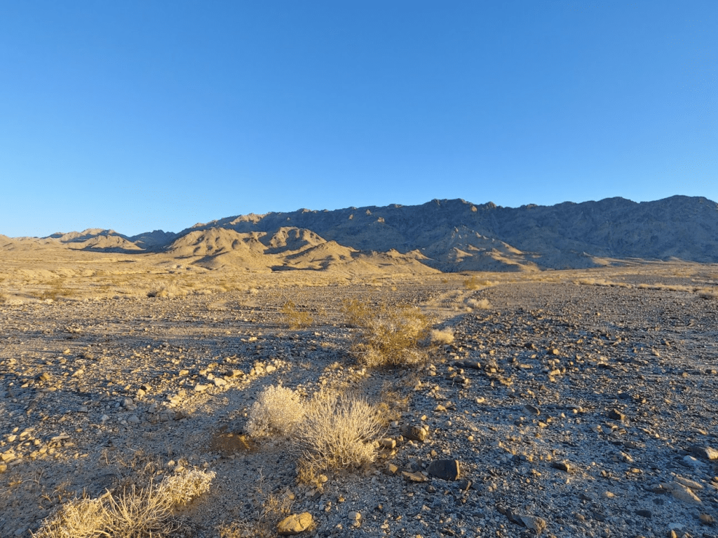
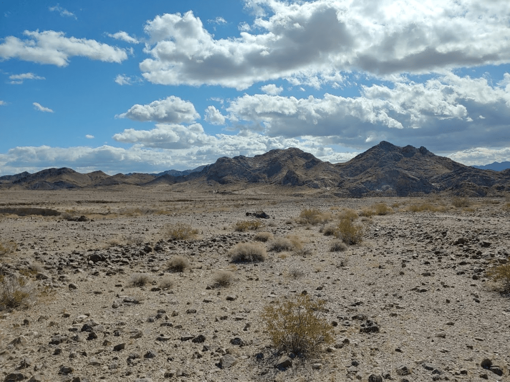
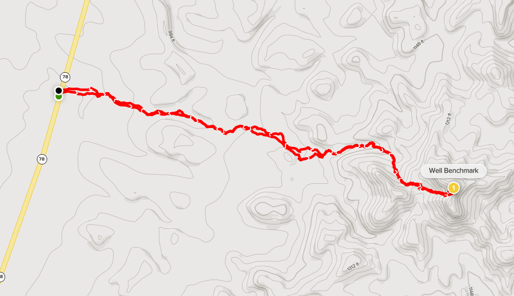
I woke up Sunday morning at 5:15am and quickly got ready to climb Granite Mountains High Point (4331 feet). Of course, “Granite” is just about the most generic name for a mountain I can think of. It’s not even the only Granite Mountain on the Desert Peaks Section list. The other is in Mojave National Preserve, and the two are actually close enough to see from the other summit. There is even a Granite Mountain in Anza Borrego State Park, which isn’t on the DPS list, but a fine peak all the same. I had driven in the night before, opting for the much longer, but easier eastern approach from Blythe. It is about 12 miles west on well graded Arlington Mine Road, and then another 10 or so miles northwest on Palen Pass Road. Palen Pass Road was pretty sandy in places and the wash crossings made it a little rough at the end. I would recommend high clearance and I was definitely happy to have AWD (but probably not required). I started hiking at 5:49am from 1557 feet.
I had parked just off Palen Pass Road the night before. The DPS guide describes a dirt road that branches off to the north for about a mile to the recommended starting point, but I had been unable to find it in the dark. Turns out I was in the right spot, but I decided to just hike down the road rather than attempt to drive a little further.
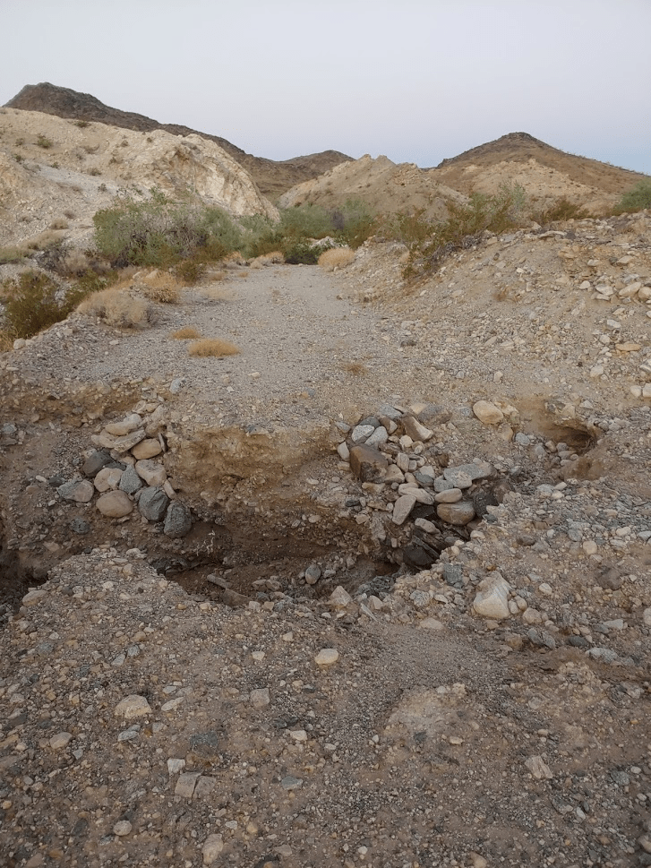
At 0.5 mile there was a massive hole in the road that would have made it impossible to continue anyway.
At around 1 mile, the road enters a wash. I hiked north a few hundred feet and then found the road exiting the wash on the other side.
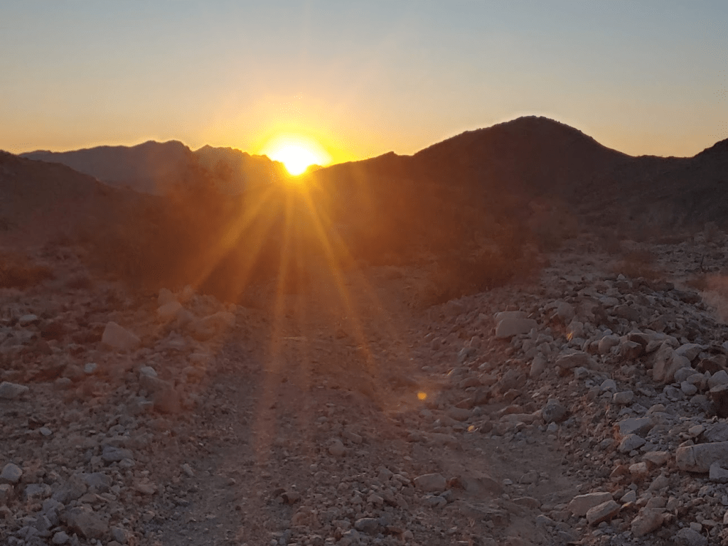
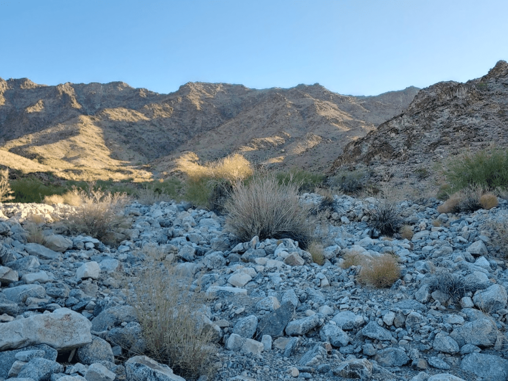
The road got extremely rough past this point as it crossed a few more washes. The sun began to rise above the mountains behind me.
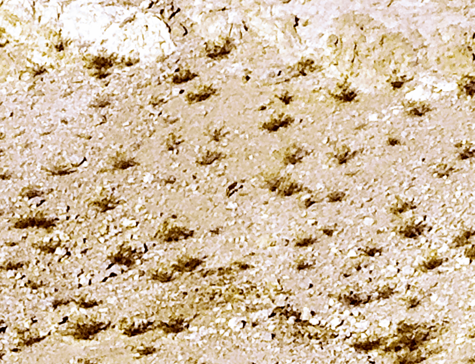
At 2.1 miles my eyes noticed something moving up the hillside in front of me. It was pretty far away so I wasn’t sure what it was. It turned around and looked at me, and then scampered up a steep, rocky cliff face. My first thought was coyote, but I figured it was much too big to be a coyote. Plus, I don’t think coyotes can climb like that. My second thought was big horn sheep, since whatever it was climbed pretty effortlessly up a rocky cliff. However, I figured I would have noticed the horns, even from a distance. Plus, it really seemed to be moving like a dog or cat. Sheep and deer have more of a trot. My third and final thought was mountain lion. It certainly looked big enough and moved like a cat. Mountain lions are solitary, and I think are more active at dawn or dusk, so it could have been. The picture below is very zoomed in so it’s hard to tell (look at the dark thing in the center). In my opinion, it looks a lot more like a dog or cat than a sheep or deer. I suppose it could have been a coyote, but I really thought it looked too large to be one. This occupied my mind for the rest of the day.
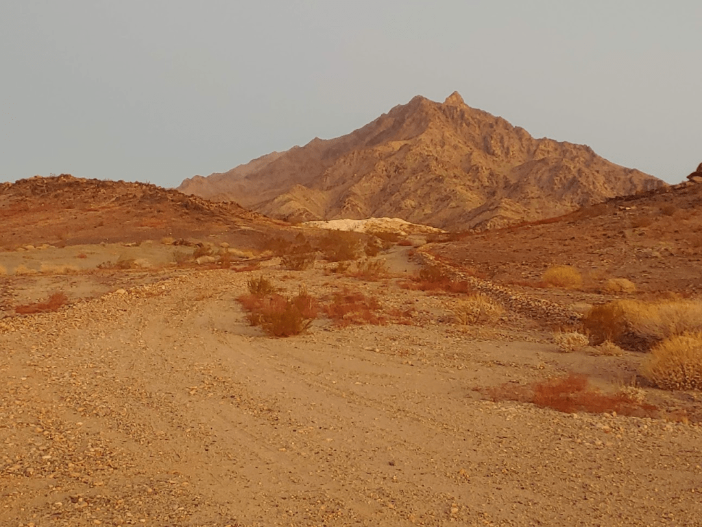
After that excitement, I bent north towards the base of the mountain range. The road finally petered out at 2.41 miles.
I started hiking up a wash north towards the mountains until I realized I needed to be more west. I hiked over to the next wash and the same thing happened. This process repeated itself 2-3 times until I finally realized I needed to go around the south side of this small hill before continuing north. Climbing in and out of washes was getting really tiring.
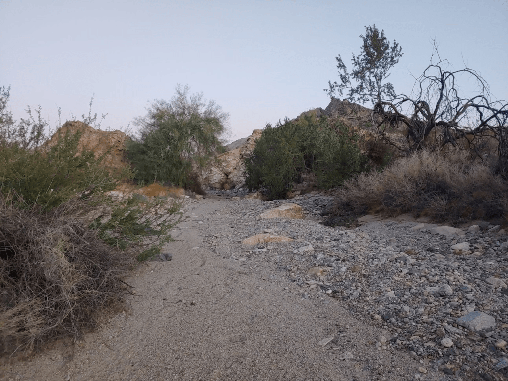
I made it around the small hill and was finally in the correct wash.
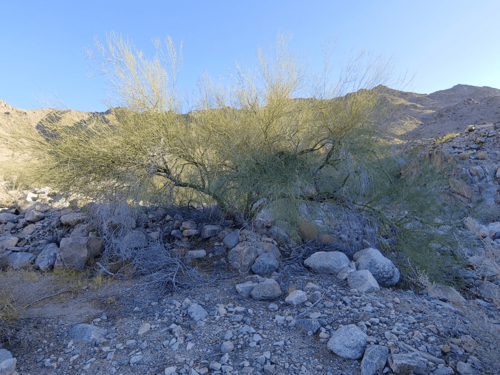
There were some palo verde trees in the wash. The green trunks and branches I’ve always thought were cool.
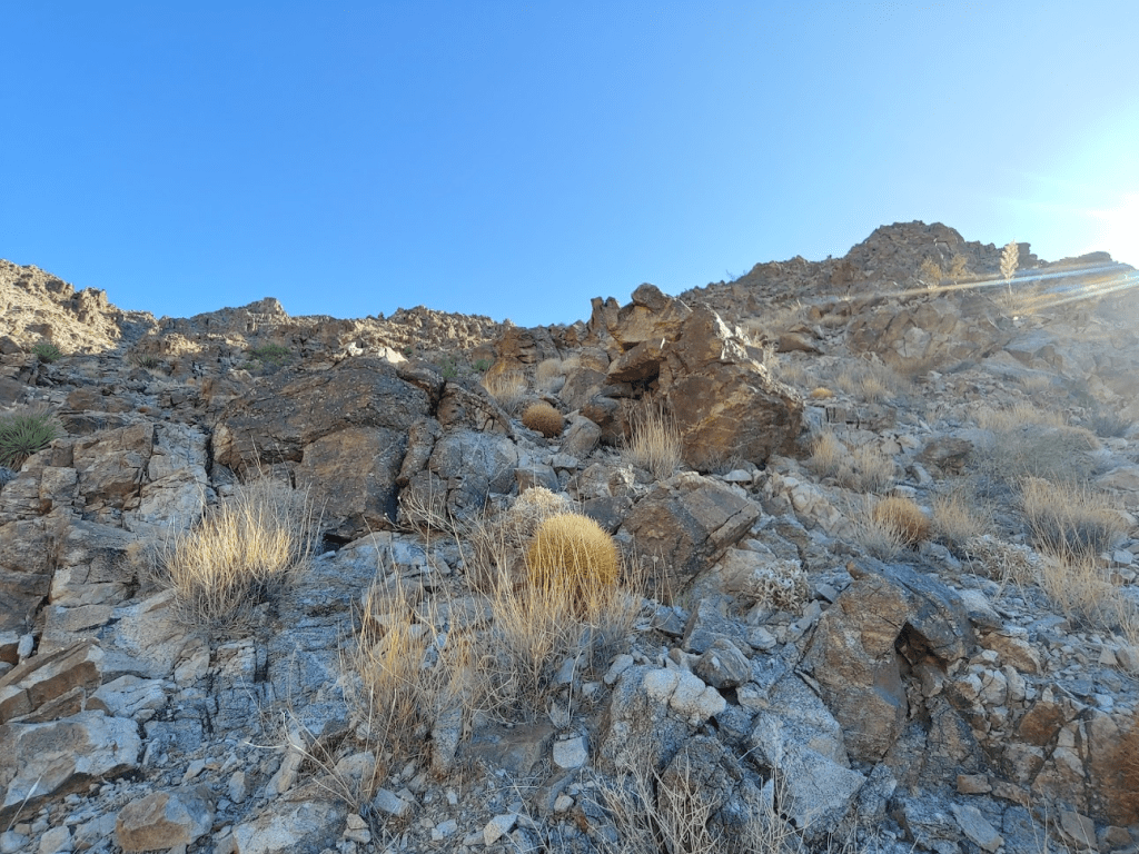
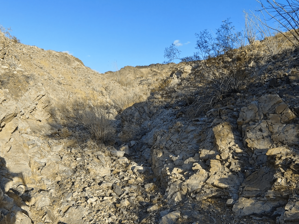
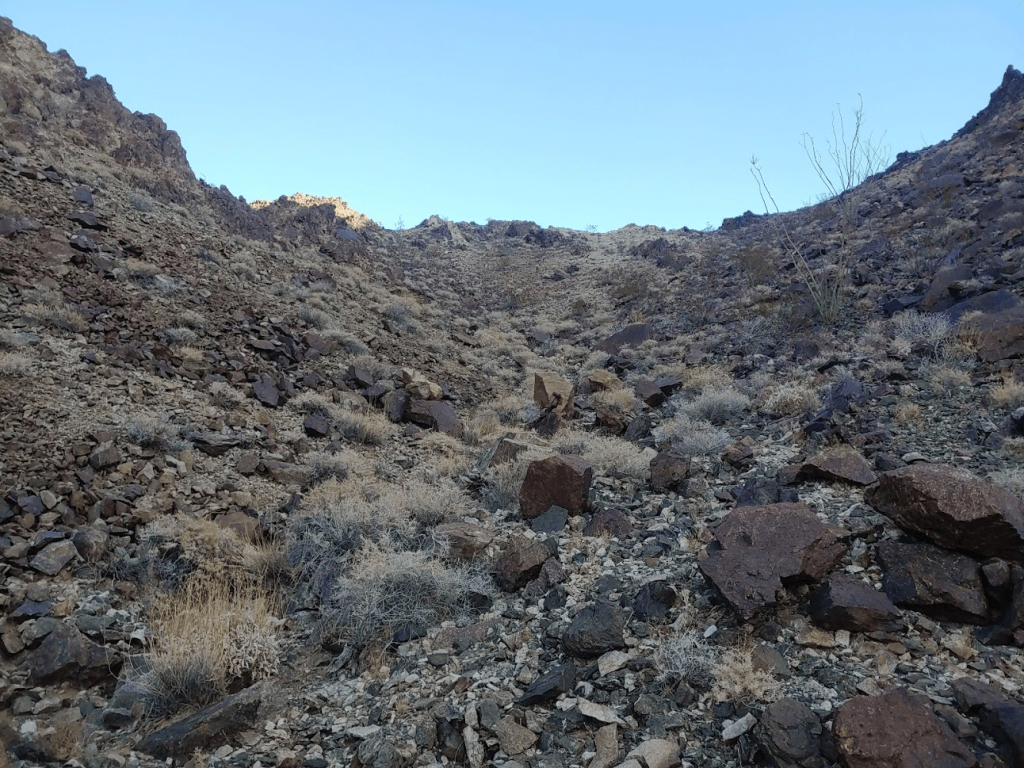
The 2 standard DPS routes diverge around this point. Route A continues up the wash, while route B ascends a ridge just to the west. I decided to ascend route A and descend route B, so I continued up the wash. It was very rocky, and my legs were a bit tired from the day before.
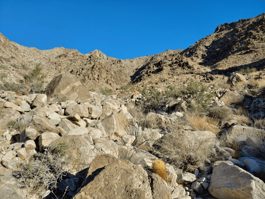
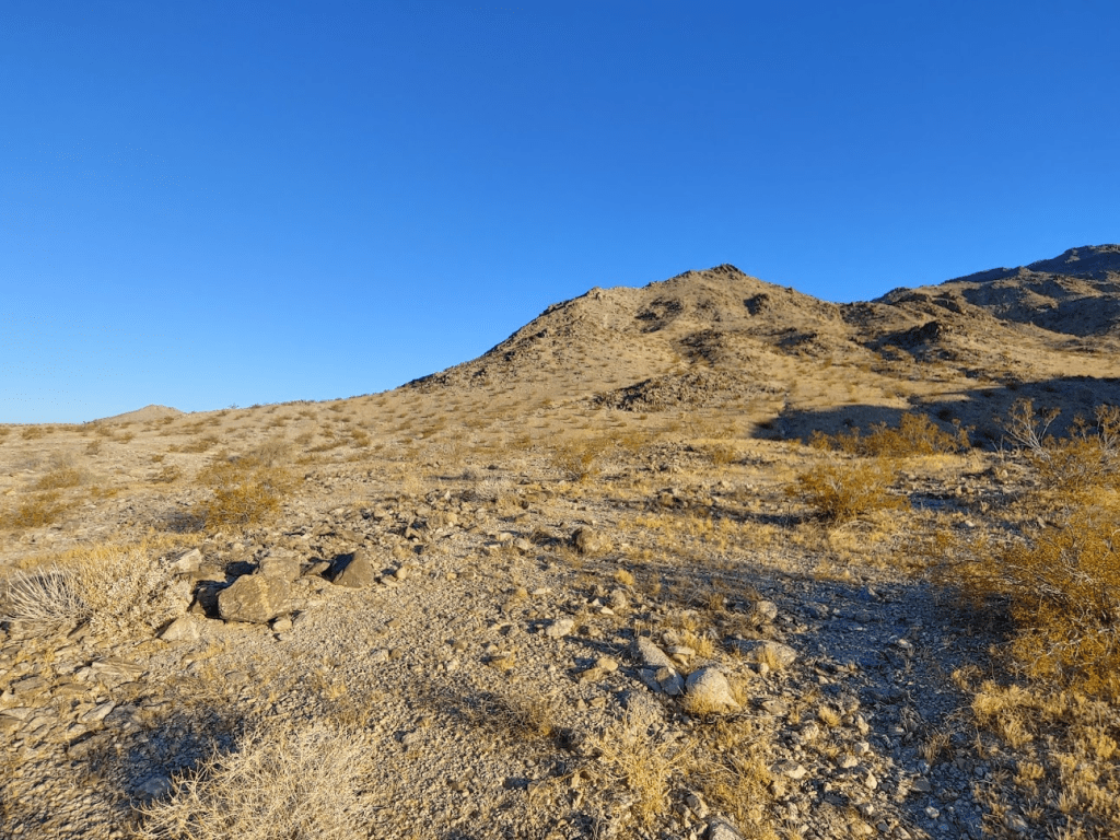
It got steeper as I climbed up. Vegetation is pretty sparse here, which helped a little.
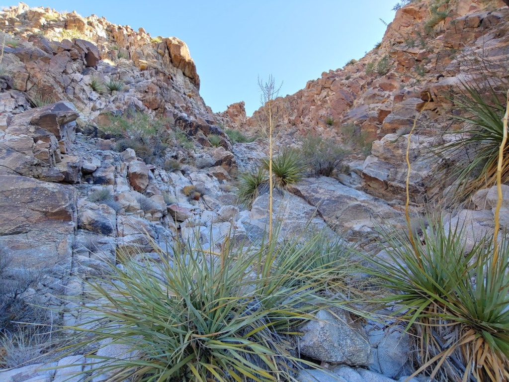
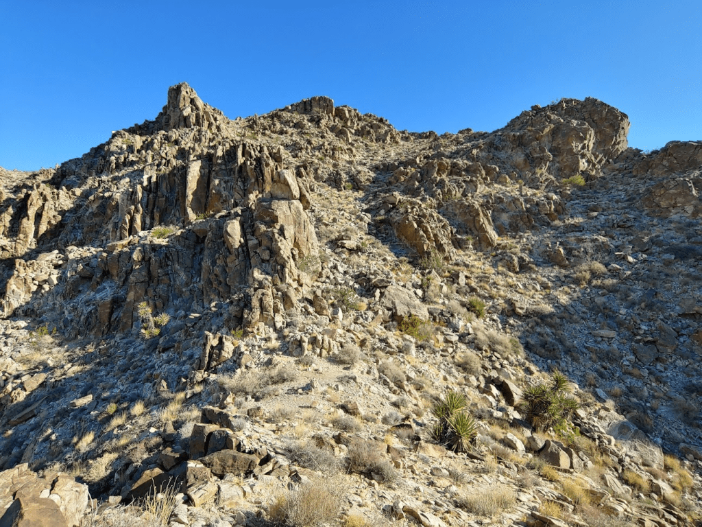
Eventually I bailed out of the canyon and climbed up a rocky slope to the east.
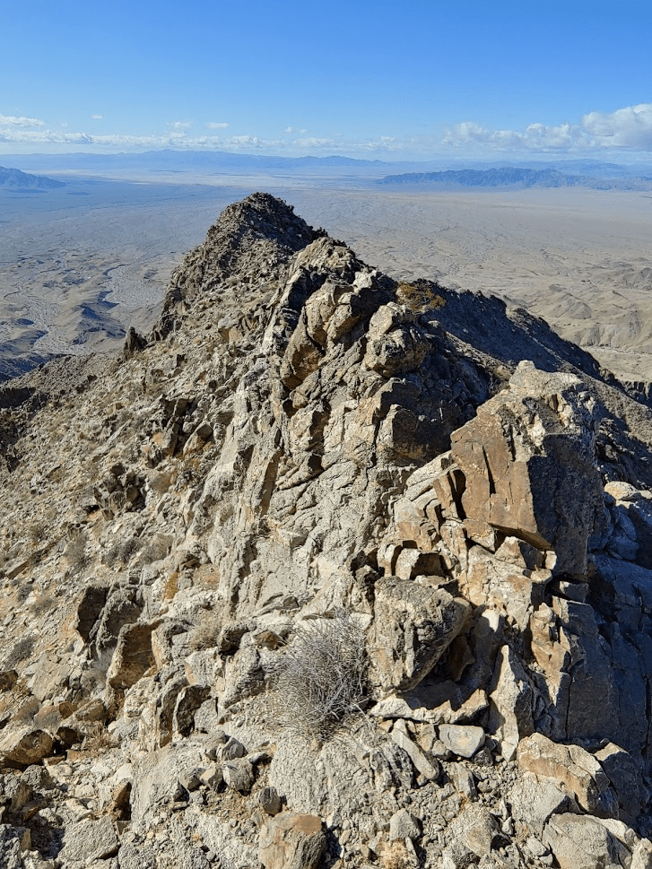
I was now on a ridge just south of the summit. A large rocky outcropping blocked the way forward.

I managed to climb around it to the left (west). I eventually made a few easy class 3 moves and climbed to the top of it. The summit was just a few hundred feet above me now.
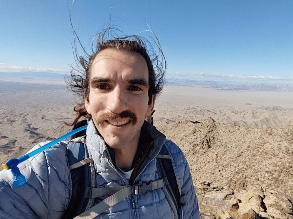
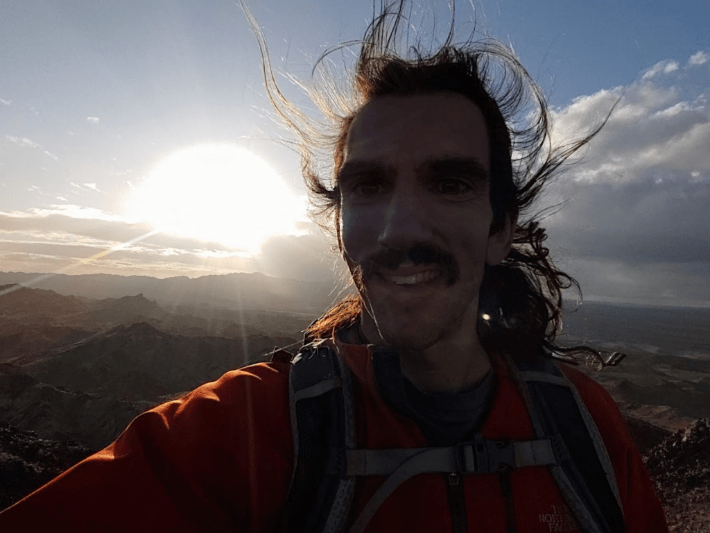
The last bit was steep, but I eventually reached the top at 8:51am at 5.79 miles!
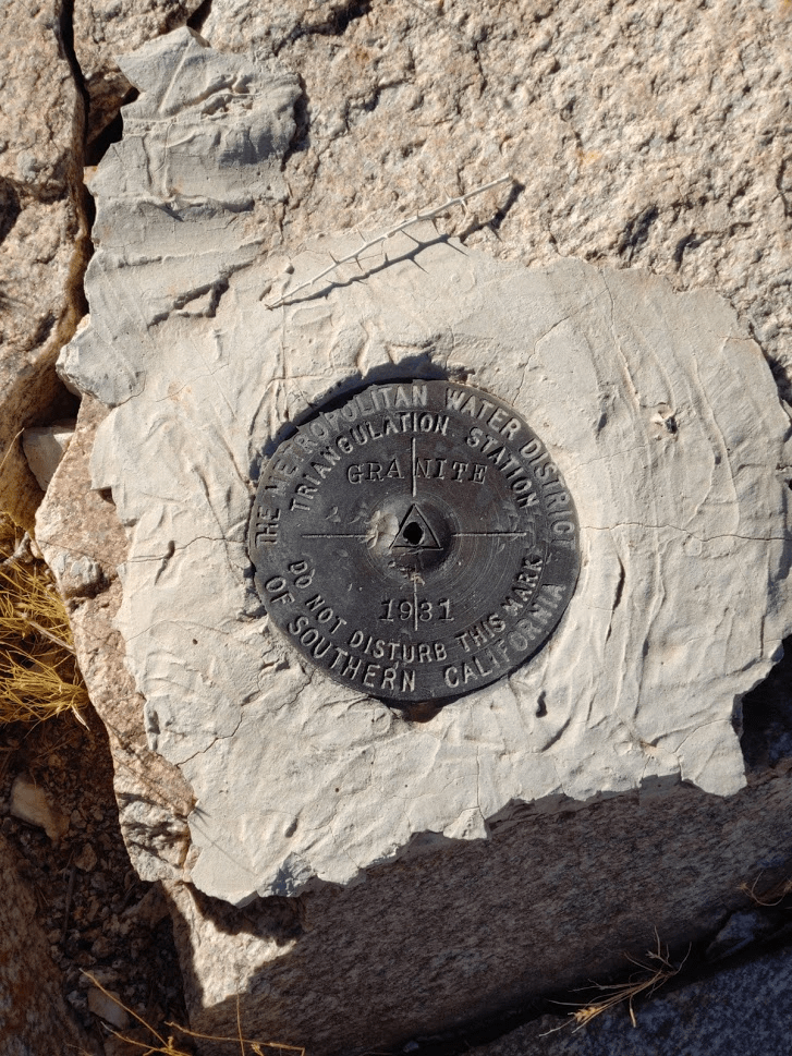
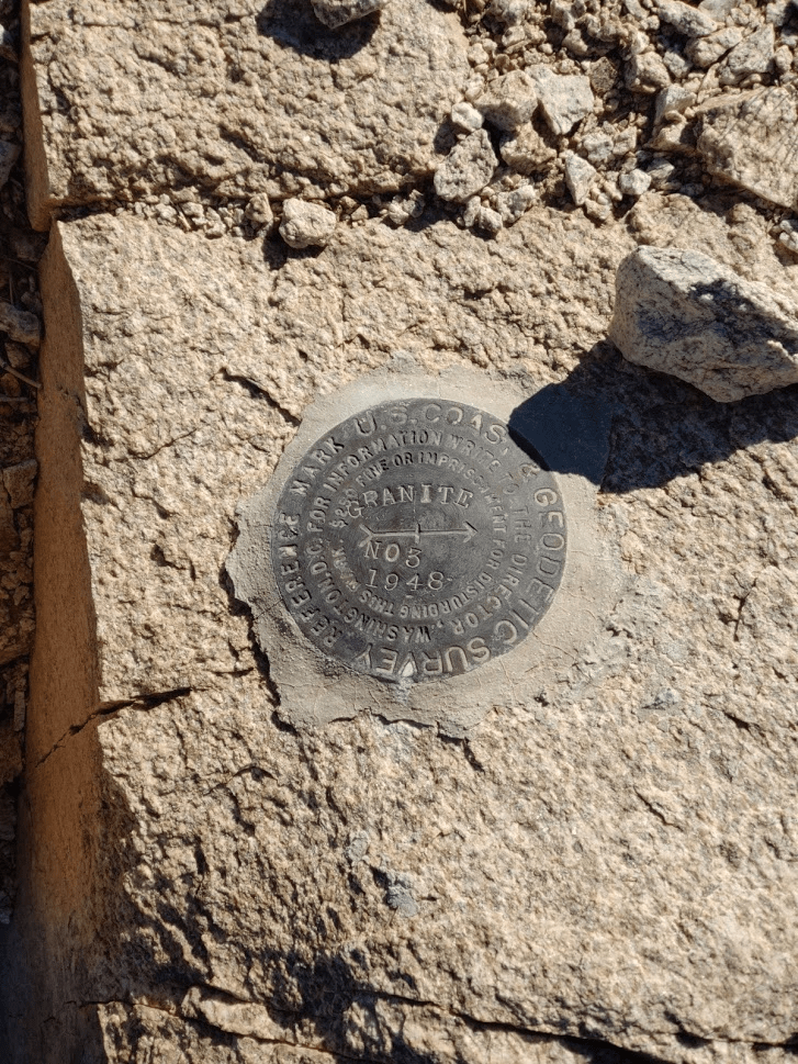
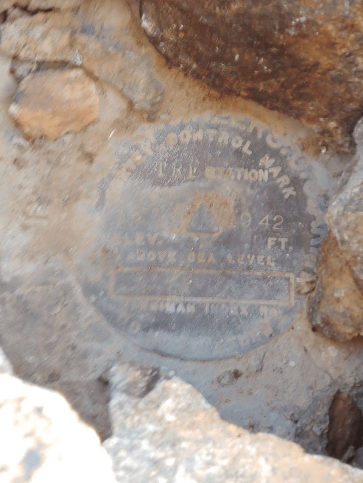
I signed the register which had been placed in 2000 by a party from the nearby China Lake Naval Base. The previous ascent was in March. I located the benchmark and reference marker no. 3
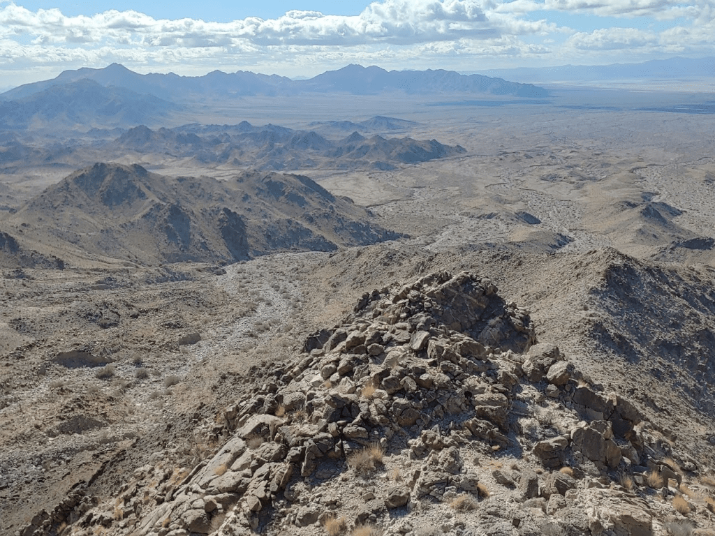
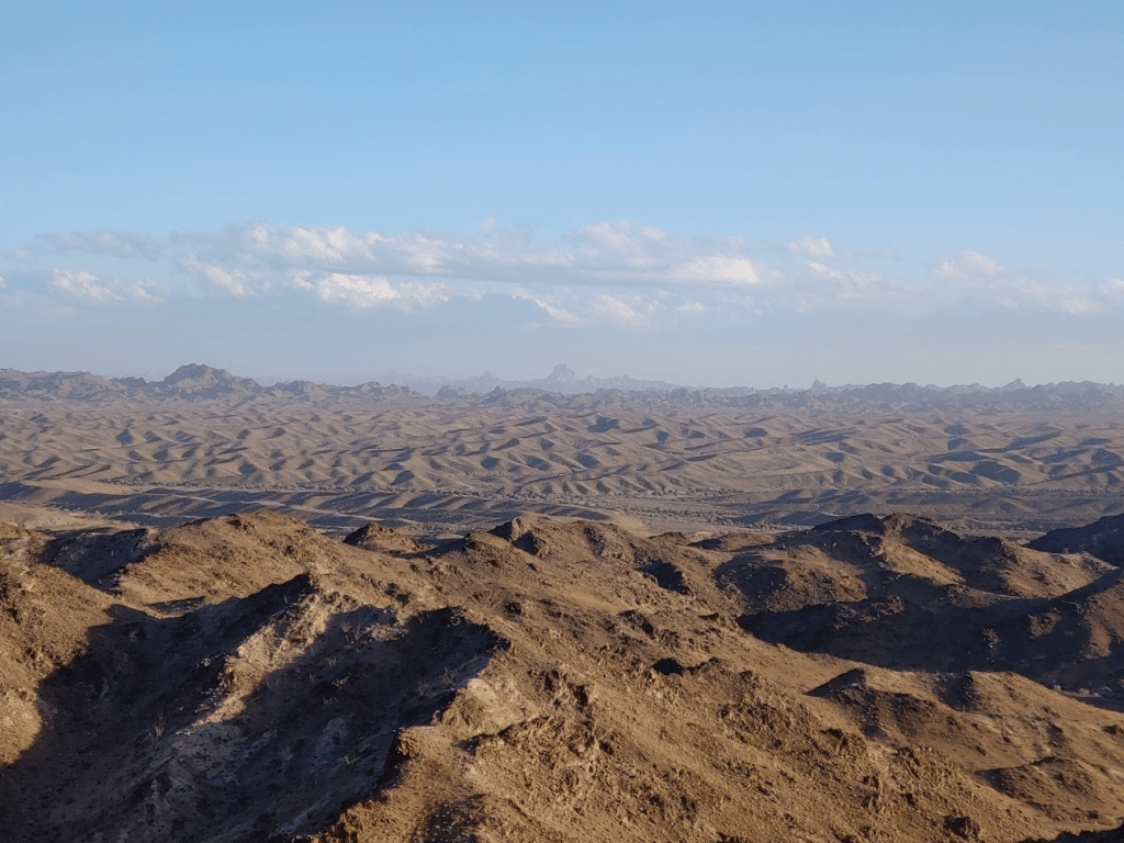
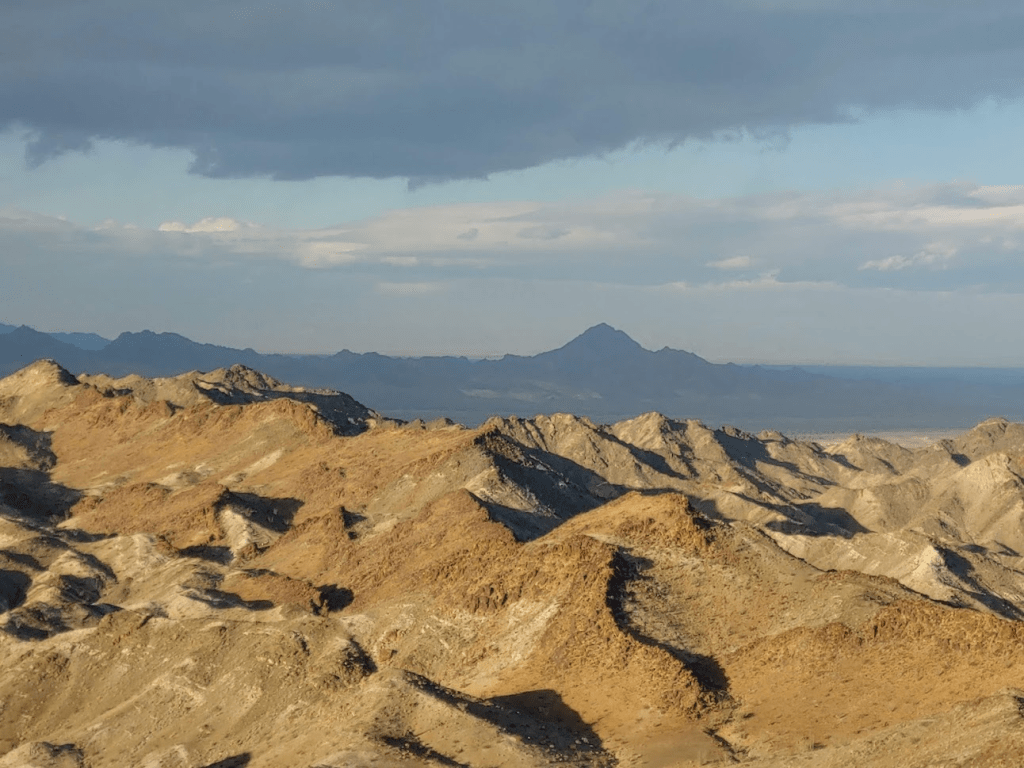
With over 3000 feet of prominence, Granite is actually the 32nd most prominent peak in California, which meant the views were impressive. It was also much less hazy than the day before on Palen. I could see the rugged Coxcomb Mountains in the northeastern corner of Joshua Tree National Park.

South of the that I could see Eagle Mountain and Monument Mountain, also in Joshua Tree.
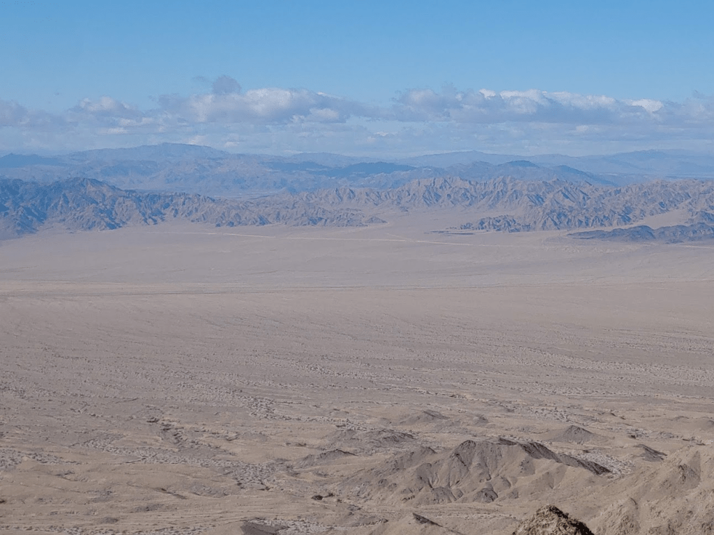
The Palen Mountains were just a short distance to the south.
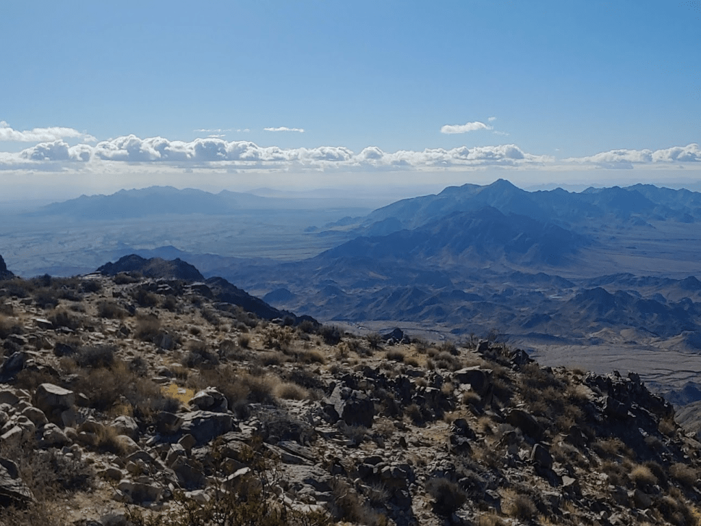
I could see the Big Maria Mountains to the east. West Maria is the little guy on the left.
To the north I could see many of the Mojave Desert ranges I had yet to climb, such as the Old Woman Mountains, Turtle Mountains, and Whipple Mountains.

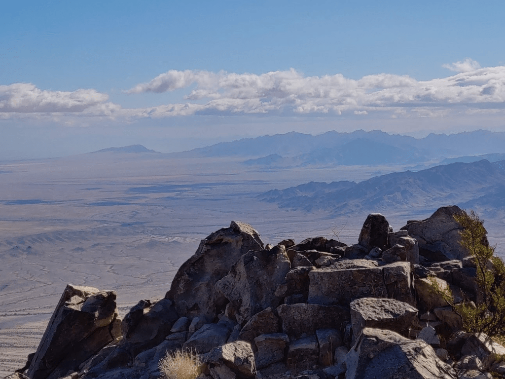
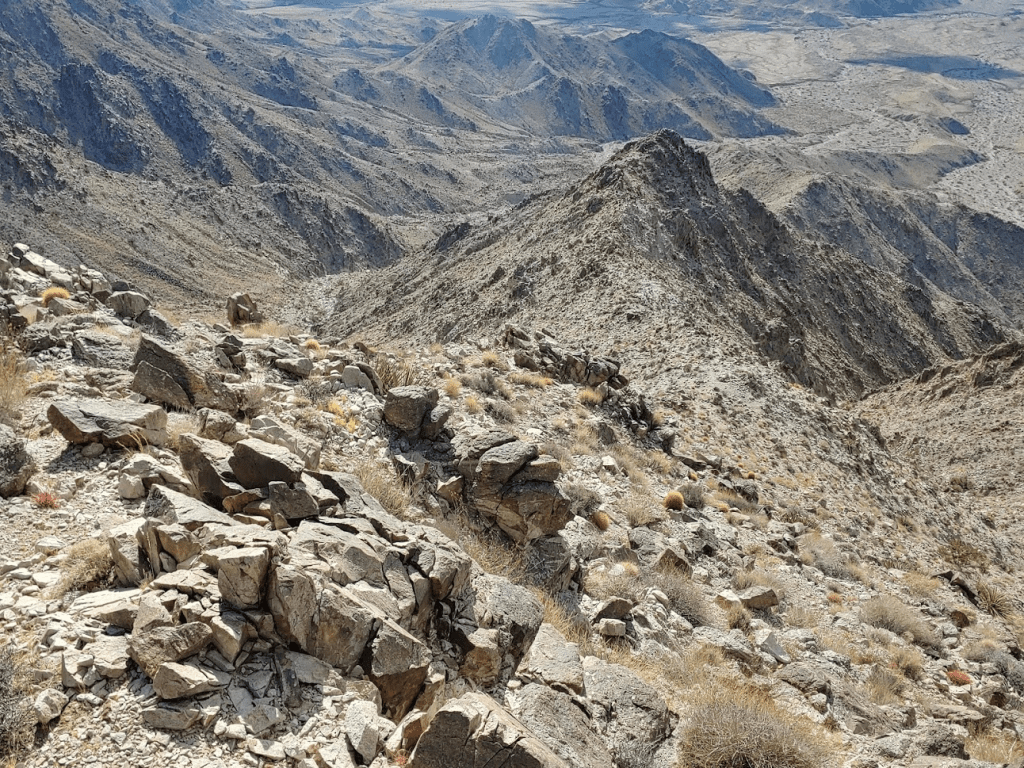
Far to the northeast I could even make out the other Granite Mountains as well as the Providence Mountains, both in Mojave National Preserve. I was hoping it would be clear enough to see all the way to San Gorgonio and San Jacinto, which likely would be snow capped due to the weekend storm. Unfortunately, dark clouds in that direction obscured the view. I took a nice 40 minute break on the summit before descending. I started by climbing down off the summit to the west.

I had been pretty sheltered from the wind this morning while ascending the canyon, but now on the ridge the wind was insane.
Climbing down the ridge was fun. It was much more enjoyable than the boulder filled wash from this morning. I generally like ridges better than washes.
I warmed up again as I got lower. It started to cloud up more as the day wore on.
I reached the bottom of the ridge at 7.26 miles.
I hiked back down the lower portion of the wash and then crossed the open desert towards the road.
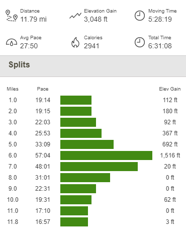
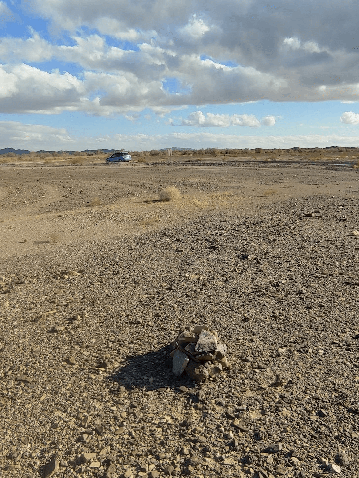
I reached the road again at 9.32 miles. From there it was an easy walk back to the car. I was done finally at 12:19pm. This hike totaled 11.79 miles, 3048 feet elevation gain, and 6:31:08 total time.

Milpitas Wash Wilderness High Point
I decided to start heading in the direction of home, but there were a few peaks I could tack on that were on the way. There are a number of obscure wilderness areas in Imperial County, and some of the high points are pretty accessible from Highway 78. I made the long drive back to pavement and then picked up SR-78 south of Blythe. The first peak I had in mind was Milpitas Wash Wilderness High Point (875 feet), which is a simple drive-up. From Highway 78, the high point is 4 miles east on Midway Well Road, which is an excellent dirt road passable for any car. The wilderness boundary is 30 or so feet from the edge of the road, so I parked on the side and walked over to where the coordinates said the high point was. I found a small cairn with a register inside.
Well Benchmark
I had one final peak to do before heading home (this last one would be a real hike): Well Benchmark, which is the high point of the Buzzard Peaks Wilderness at 1604 feet. I drove back to Highway 78 and then went just a few miles south and parked on a nice wide spot on the west side of the road. I started this hike at 2:46pm from 987 feet.

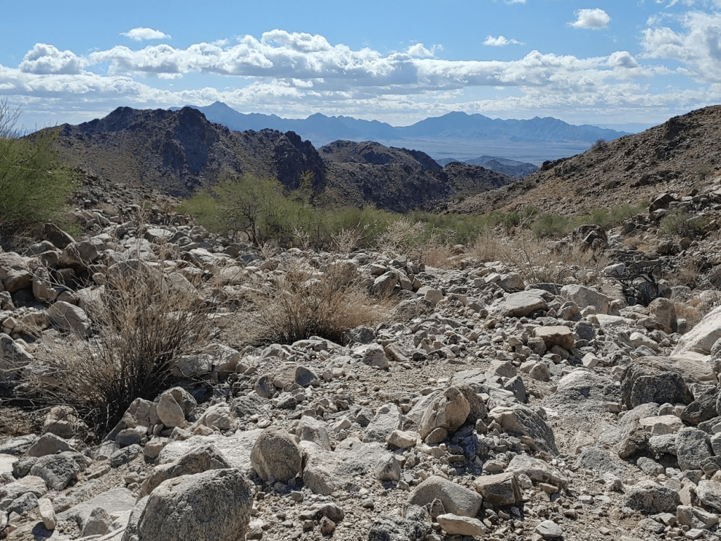
I crossed the road and started hiking east towards the peak. There was a vague use trail that faded in and out.

Once I got closer, I followed a wash to the base of the mountain.
The wash meandered to the north and then bent back to the south. Eventually I climbed up a rocky slope.
At the top of the slope, there was a small bowl with the summit on the other side. The summit is actually the left-center bump below.

I descended into the bowl and then climbed up the other side.

The climb was steep, but the footing was good, so I made it to the top pretty quickly. I reached the summit at 3:33pm at 1.96 miles!
I signed the register which was just a small memo pad with a few entries. The previous entry was from February. I found a benchmark which was buried underneath a cairn on the summit.
It was getting pretty cloudy so I couldn’t see too far. Plus, there aren’t any high peaks in the area so there wasn’t much to see anyway. I could make out Picacho Peak across the sand dunes to the southeast.
And Palo Verde Peak to the northwest.
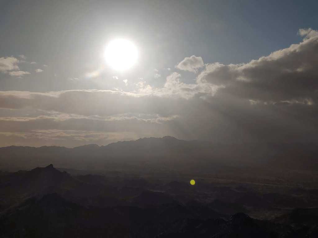
The setting sun was very pretty.
While I was enjoying the summit, I happened to see 2 or 3 big horn sheep! I spotted them in the bowl I had just hiked through below the summit. They were running, so they quickly disappeared behind a hill. I saw one of them emerge on the other side but then quickly ran off out of sight. I was very excited! It was my 3rd big horn sheep sighting in the wild. The first was while descending Pyramid Peak in Death Valley in February 2019, and the second was on Silver Peak in Mojave National Preserve in December 2019. Seeing these big horn sheep made me positive that what I had seen this morning on Granite was NOT a big horn. The horns make it very obvious, even from a distance. I stayed still for a few minutes hoping I would catch another glimpse, but no luck. With daylight fading, I began descending at 3:47pm.

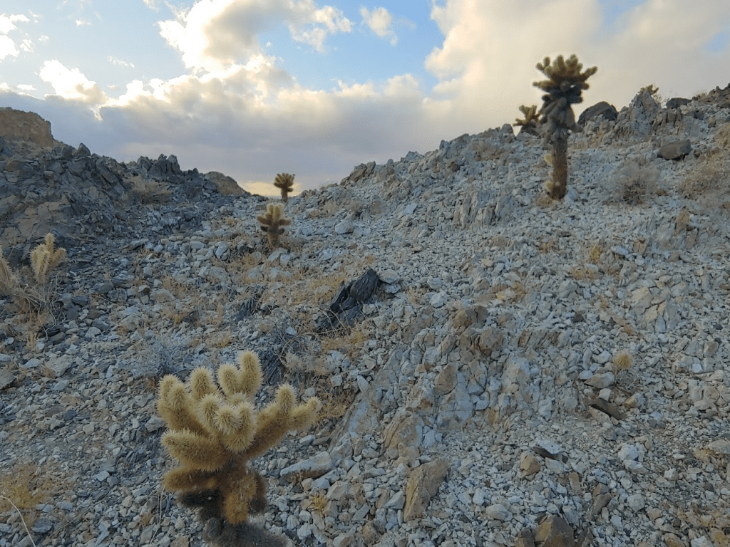
I took the same route down. I noted a few teddy bear cholla in the area.
At 2.32 miles I came upon a tortoise shell, which was cool. I’ve never seen a live desert tortoise, so I kept my eyes peeled.

I actually came across another tortoise shell at 2.8 miles. There must be lots of them in the area, but unfortunately, I never saw one. The rest of the hike was uneventful. This hike totaled 4.01 miles, 705 feet elevation gain, and 1:56:07 total time.

Another great weekend of hiking in the desert!
