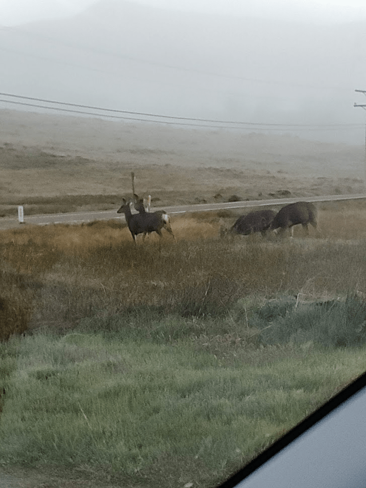
For the 2nd Sunday in a row, I decided to do some hiking in a remote desert range in Imperial County. It was getting near the end of April so I knew the weather would soon be too hot for desert hiking. I had more peaks I wanted to in Anza Borrego, but all California state parks were still closed due to the COVID-19 pandemic. Similar to last week, I opted instead to climb some peaks in Imperial County east of Anza Borrego. Last week, I had climbed Carrizo Mountain, the high point of the Coyote Mountains. This week, I decided to climb the High Point of the Fish Creek Mountains (2371 feet), which are adjacent to the Split Mountain area in Anza Borrego. I also intended to climb Fish Benchmark (2334 feet), which was near the high point, for a nice loop hike of about 8 miles. As had become my usual routine, I woke up at 4:30am and hit the road at 5. It’s a pretty long drive to the Fish Creek Mountains, which aren’t far from the Salton Sea. I saw a large group of deer while driving north on Highway 79 just before Lake Cuyamaca. I counted at least 12 of them, but there may have been even more.
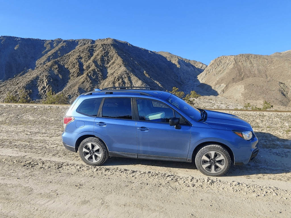
I also saw some turkeys as I was passing through Julian. I took Highway 78 east through Anza Borrego to the small community of Ocotillo Wells (this is a different town than Ocotillo, which is near where I hiked the previous week). From there, I went south on paved Split Mountain Road for 8.3 miles and then turned left (east) onto a dirt road paralleling a railroad track. It was another 6 miles on this road to where I parked. I had read reports that this road had a half mile section of really loose sand where high clearance 4WD is required to avoid getting stuck. I didn’t encounter this at all. There was some sand, but this road was probably safe for a standard passenger car. I parked just off the dirt road and started hiking at 7:21am. My altimeter read 16 feet below sea level.
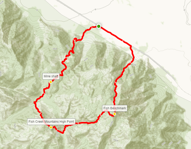
My plan was to climb Fish Benchmark first, then proceed over to the High Point and then descend from there. Since I parked at the starting point for the High Point, I had to walk southeast down the road for 0.7 mile before beginning my ascent of Fish BM.

I crossed the railroad tracks and proceeded cross country towards the base of the mountain range.

It was a short walk to the base. I then started climbing up an alluvial fan.

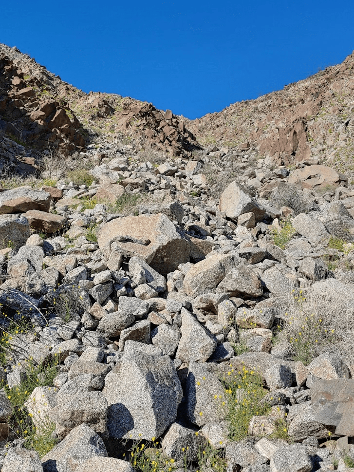
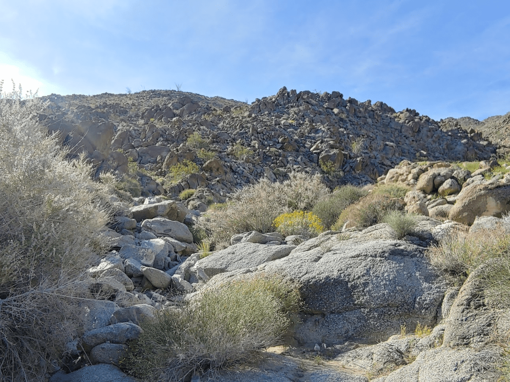
The alluvial fan led into a canyon that I would ascend up to Fish BM. The canyon was very rocky which made for some fun scrambling.

This part was steep. It was already pretty warm this early in the morning and I was sweating hard. The large rocks made for slow progress. Even though this part was tricky, there wasn’t anything above class 2.
Around this point, I was startled by a massive bird which flew away when I got near. I got a good look at its red head and realized it was a turkey vulture. I also realized this was the same kind of bird I had seen near the summit of Carrizo Mountain the week before. Turkey vultures are very ugly birds. Anyway, I continued up the canyon after I regained my composure.
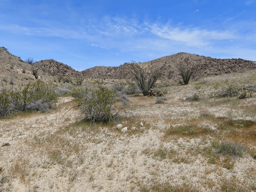
At 1.91 miles, I reached a plateau around 1500 feet. I continued southwest as the route became flat for a short way.
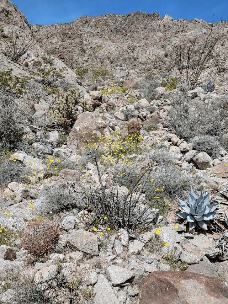
I proceeded up a wash, gently gaining elevation towards the peak.
After reaching the top of a small rise, the summit came into view.

I reached the summit of Fish Benchmark at 9:20am after 2.59 miles of hiking.
I located the benchmark and reference markers 1 and 2.

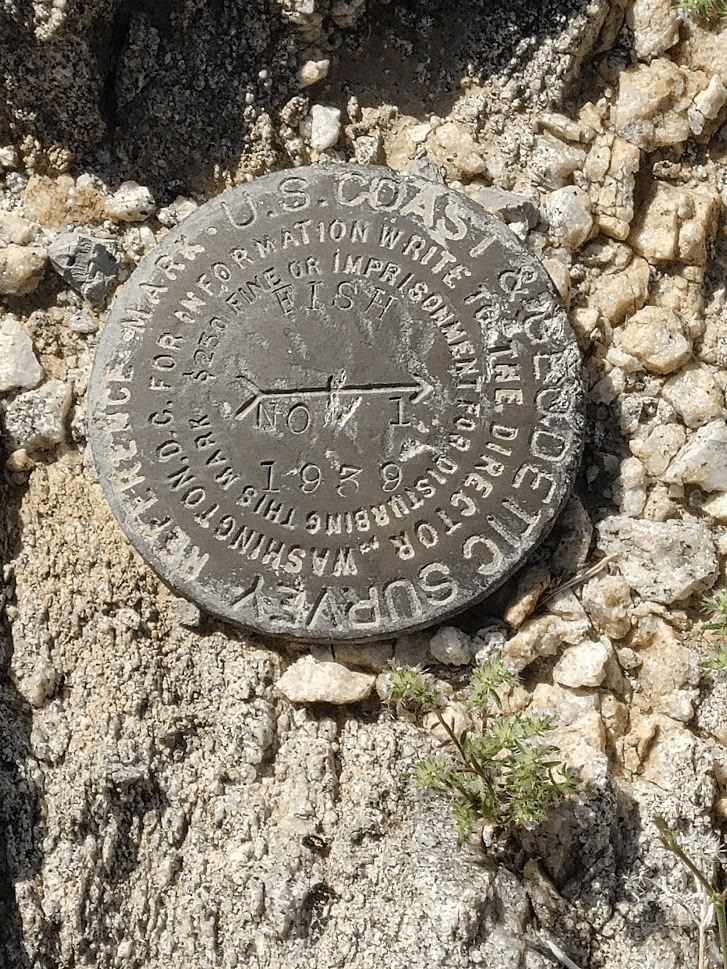
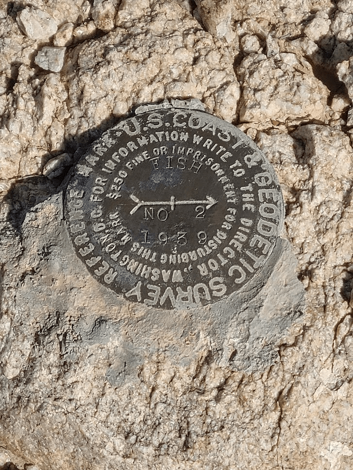
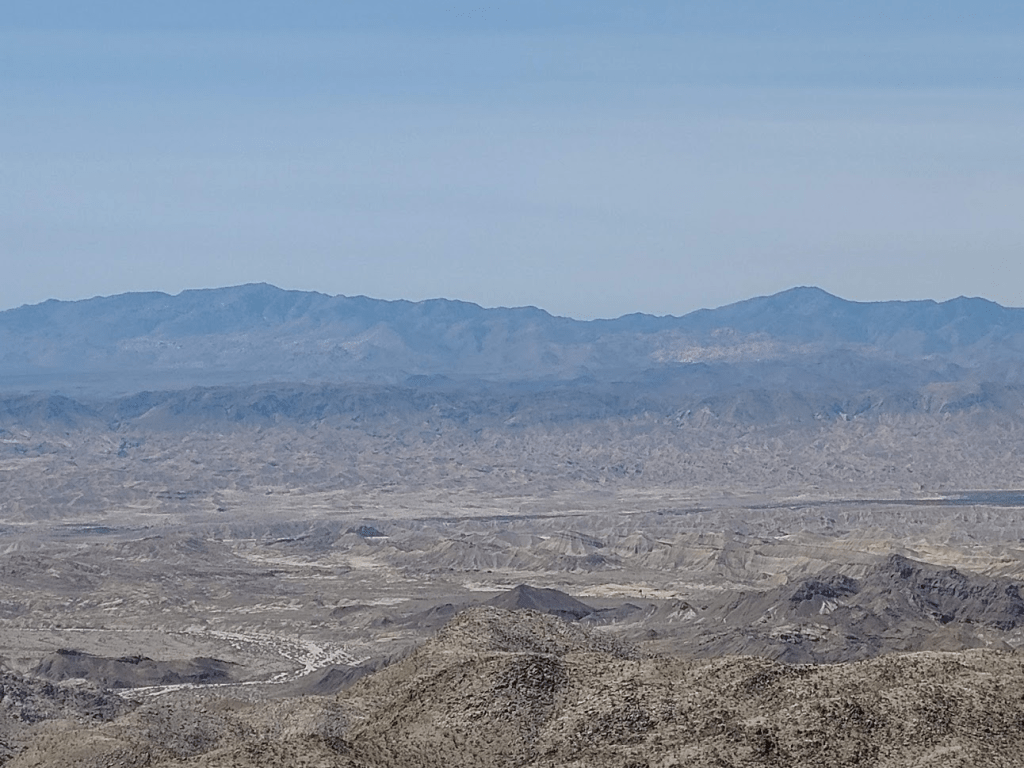
I signed the register which had been placed in 1979. There weren’t a ton of entries for how old the register was. This definitely is not a well known peak. The previous entry was from January 18th. I could see the High Point of the Fish Creek Mountains only a couple miles away to the southwest. That peak is only 37 feet higher than the peak I was on.
I spent nearly 30 minutes on the summit before heading towards the High Point. I began descending to the west.
I descended a couple hundred feet to a plateau where I turned southwest.
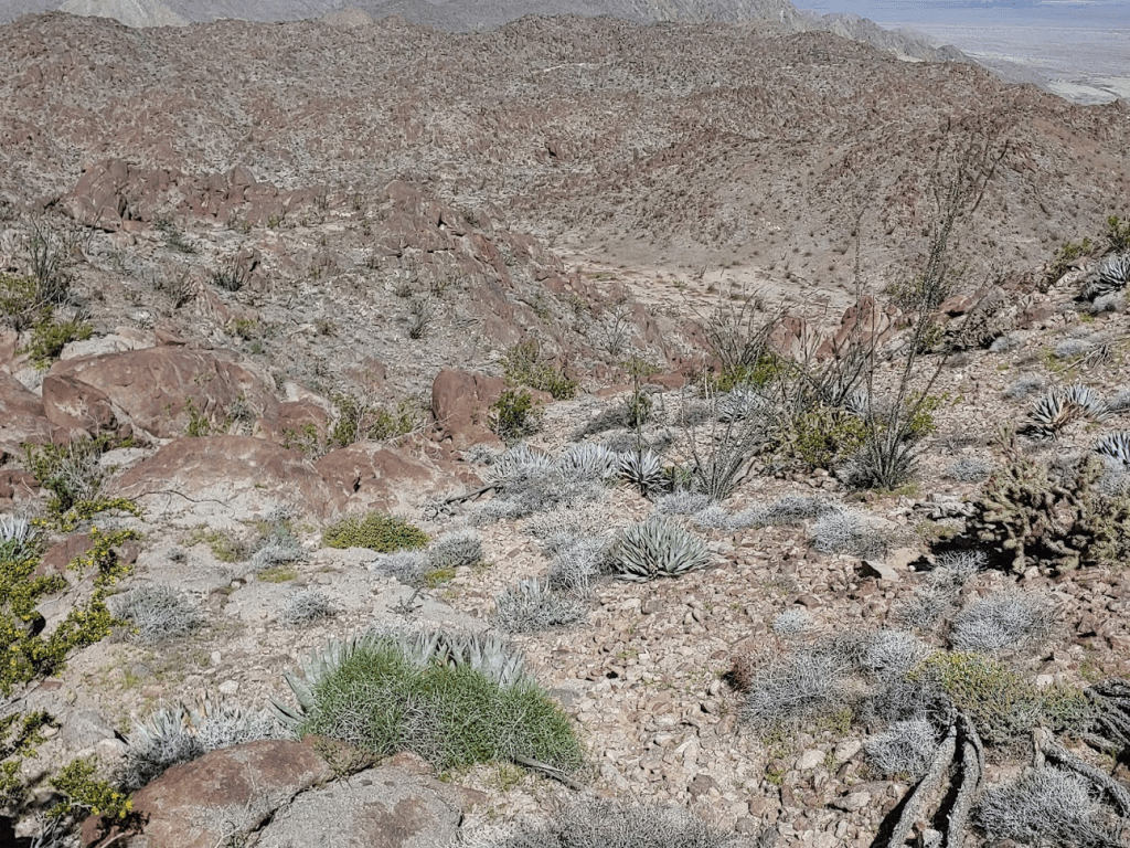
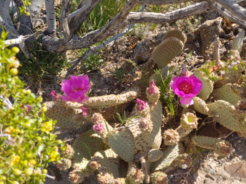
I saw some beautiful beavertail in full bloom.
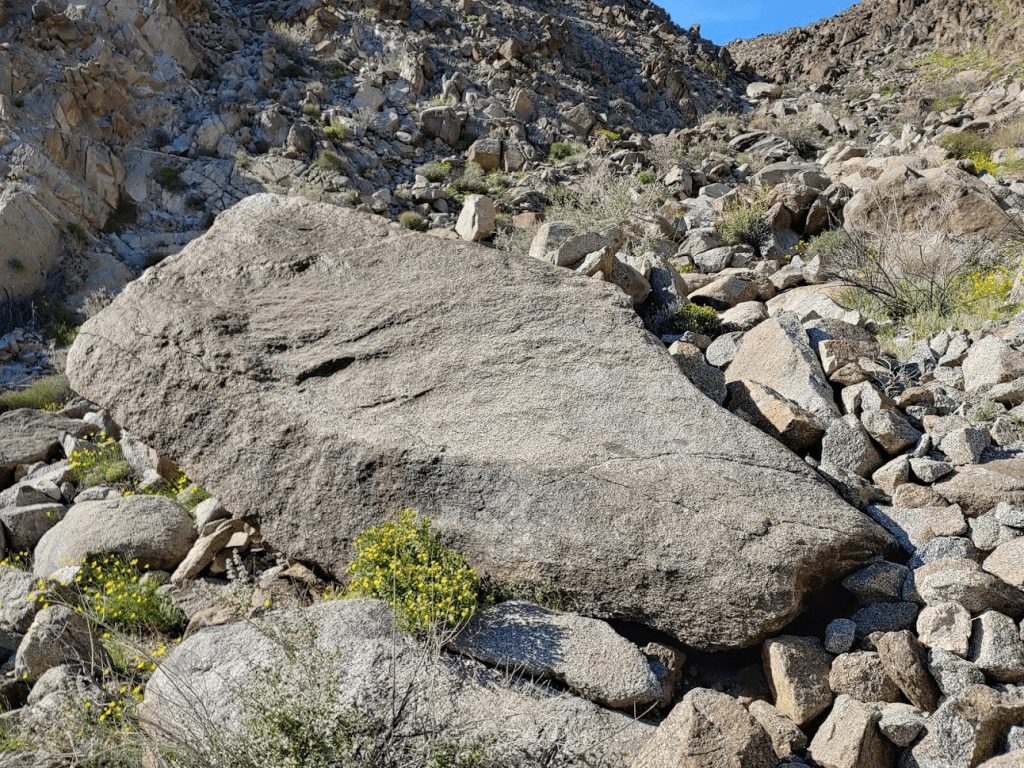
I also saw a cool looking rock that appeared to have been split in half.

I followed a wash that descended towards the base of the High Point. It started off pretty gradual.

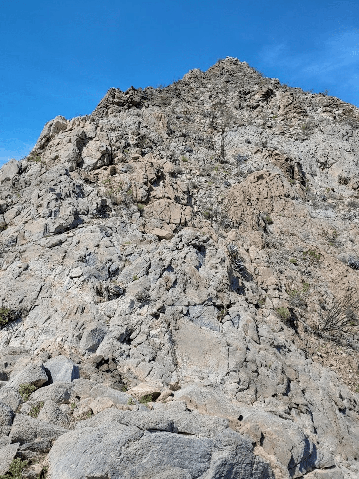
The bottom of the wash became steeper as I neared the High Point, which was now in full view.
At 4 miles I reached the base of the High Point. I had descended down to 1584 feet, so I had nearly 800 feet to climb to the summit.

I went up a steep rocky gully east of the summit.
I eventually gained the east ridge. I was now only about 100 feet below the summit.
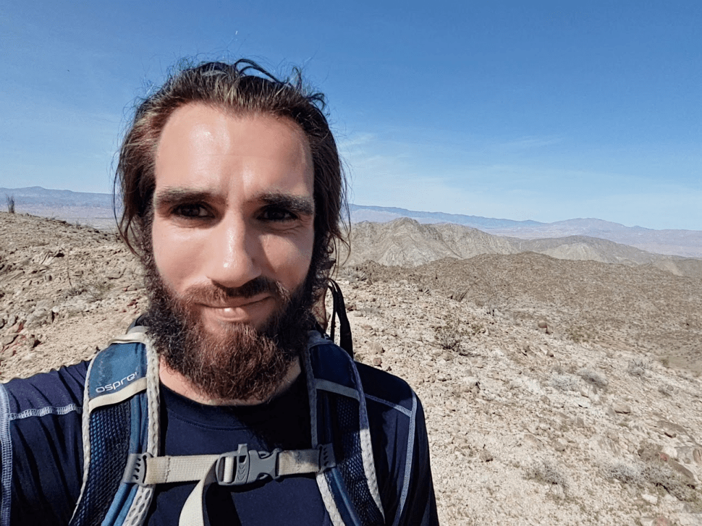
I startled another turkey vulture as I climbed up the last bit. It flew away and didn’t bother me. At 11:04am I was on the summit. I had been hiking for 4.5 miles.

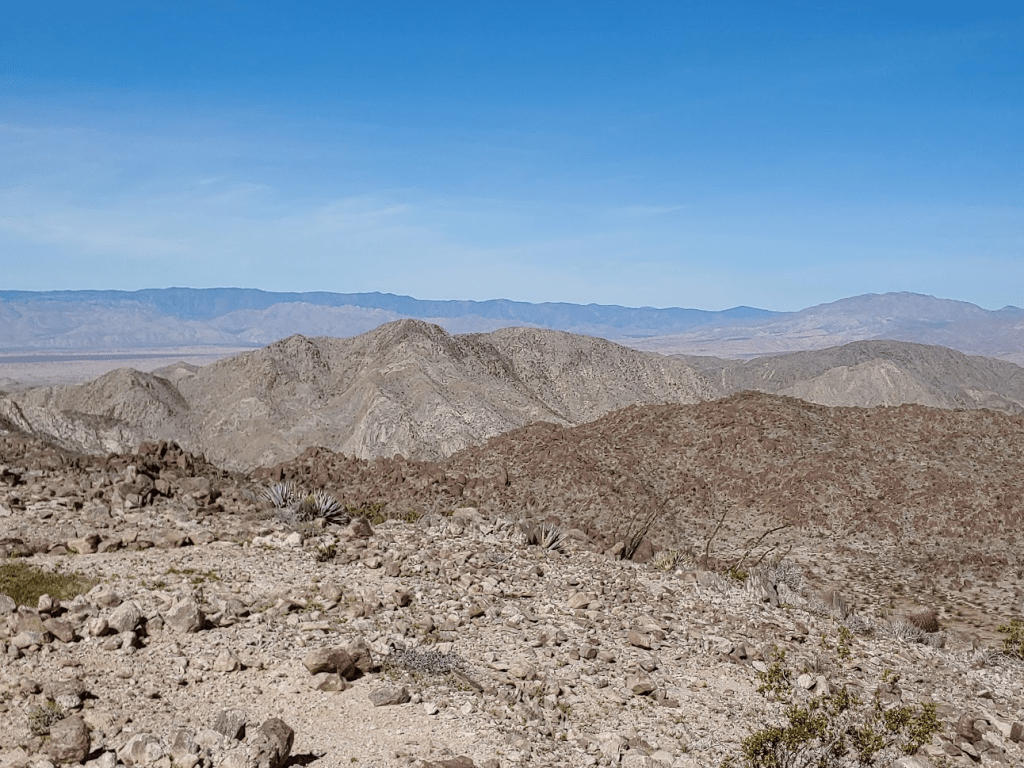
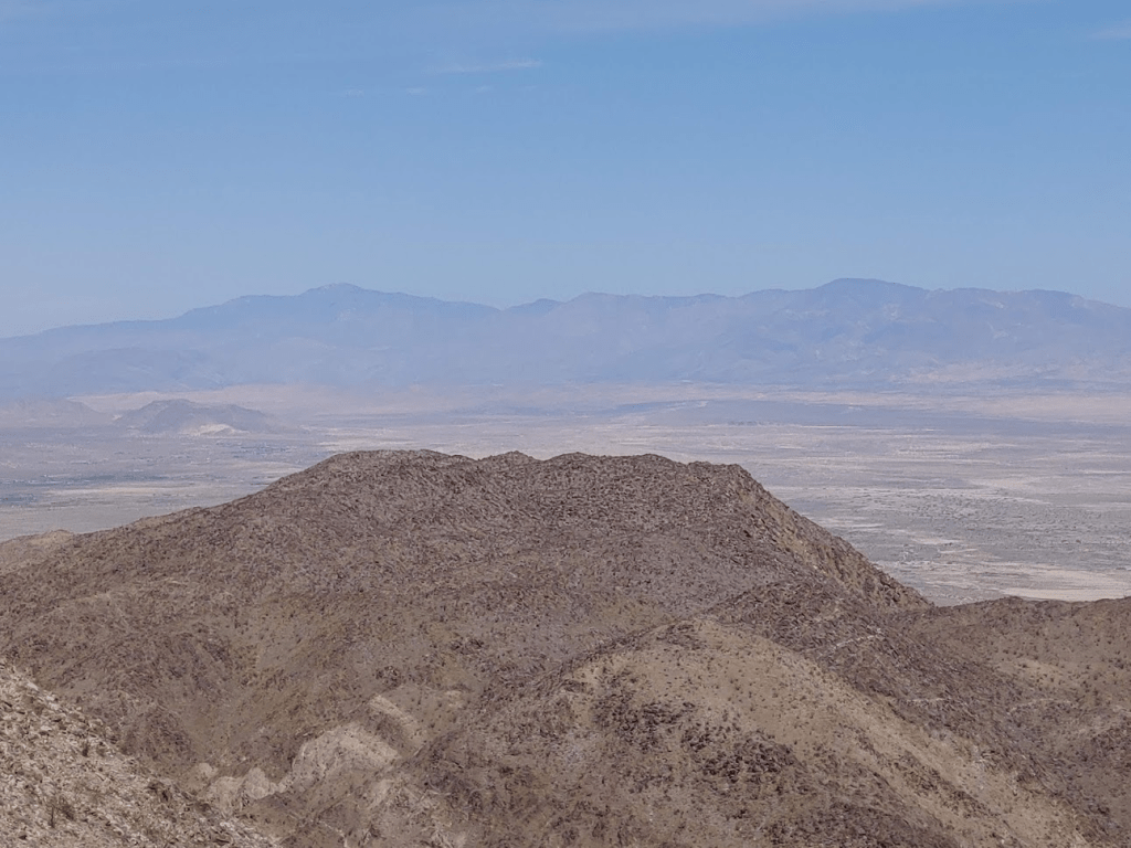
I signed the register which had been placed by the same party that placed the register on Fish Benchmark in 1979. This register had quite a few more entries, but still not a ton. The previous entry was March 9th. This peak isn’t on any list, so it probably gets overlooked frequently. I was kind of surprised that Andy Zdon doesn’t include it in his book, since the peak is a wilderness high point and it’s actually the most prominent peak in Imperial County (the highest peak elevation-wise in Imperial County is Blue Angels Peak near the Mexican border). But he includes over 300 peaks in his book, so I guess he can’t write about every single desert peak in California. The views were pretty incredible on such a clear day. I could see Fish Benchmark just a few miles away to the northeast.

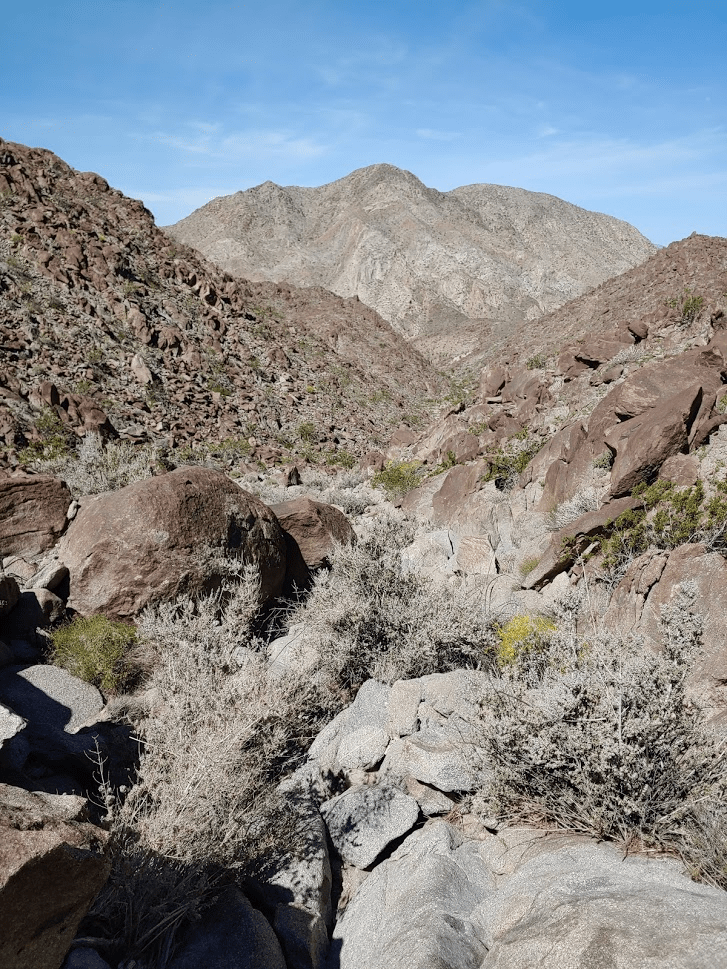
To the south I could see Carrizo Mountain, the peak I had just climbed the week before. It’s the peak in the middle of the picture below.

To the southwest I could see Jacumba Mountain and Mount Tule.
To the west I could see the Vallecito Mountains and Whale Peak.

To the north I could see the high peaks of the Santa Rosa Mountains across the Borrego Valley.
To the northeast I could see the Salton Sea and the mountains of Joshua Tree National Park beyond.

Peakbagger refers to this peak as Eagle Benchmark instead of Fish Creek Mountains High Point. I looked around the summit area but didn’t see any evidence of a benchmark. In no rush, I took my time on the summit enjoying the views and soaking up the sun. It was getting warm, probably upper 70s now. After about 50 minutes, I began the descent. I went northwest on the ridge towards a subsidiary summit.
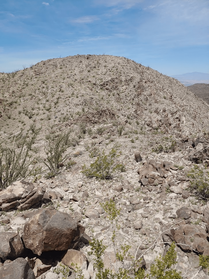
After climbing the subpeak, I went down a steep gully.
This would be the steepest terrain I would encounter during the hike. I descended about 1000 feet in under a mile to another plateau.

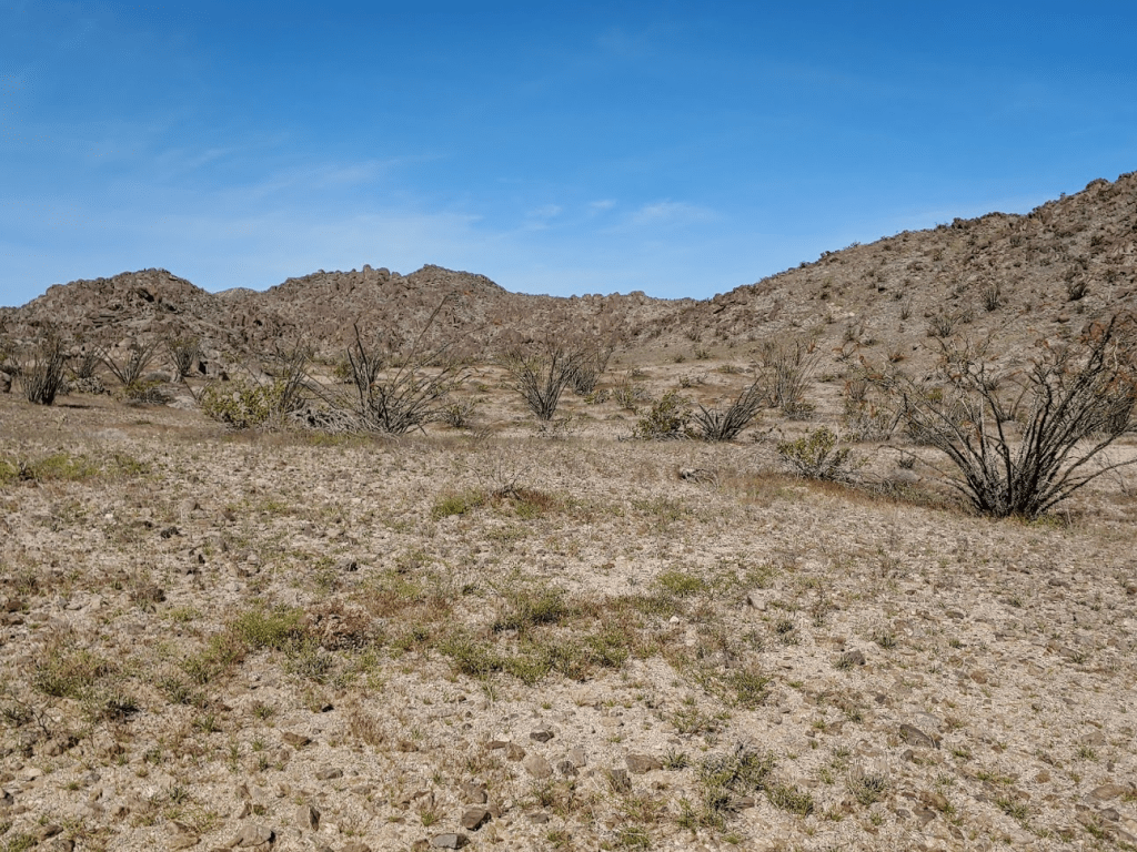
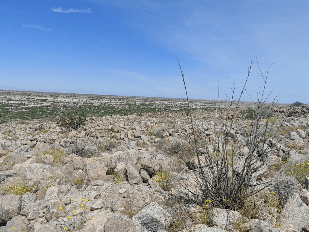
I proceeded northeast. This part was pretty flat.
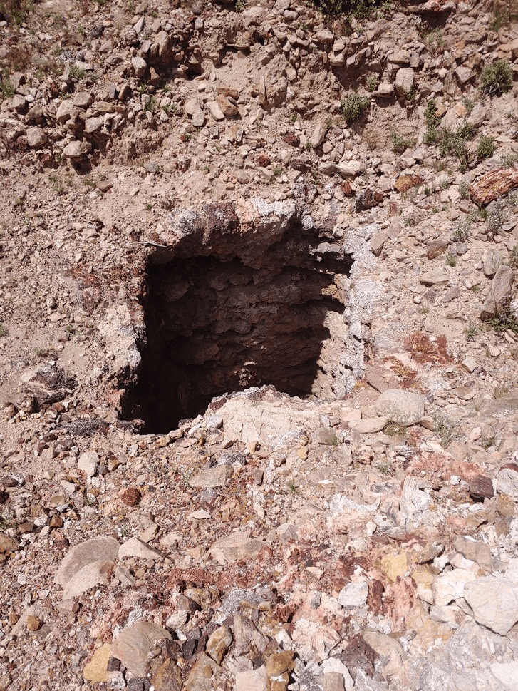
I gained a little elevation before reaching an old mine shaft at 5.88 miles.
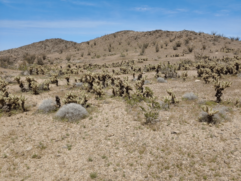
Right after passing the old mine, I passed near some teddy bear cholla, but they were easy to avoid since I was walking through a wide valley.
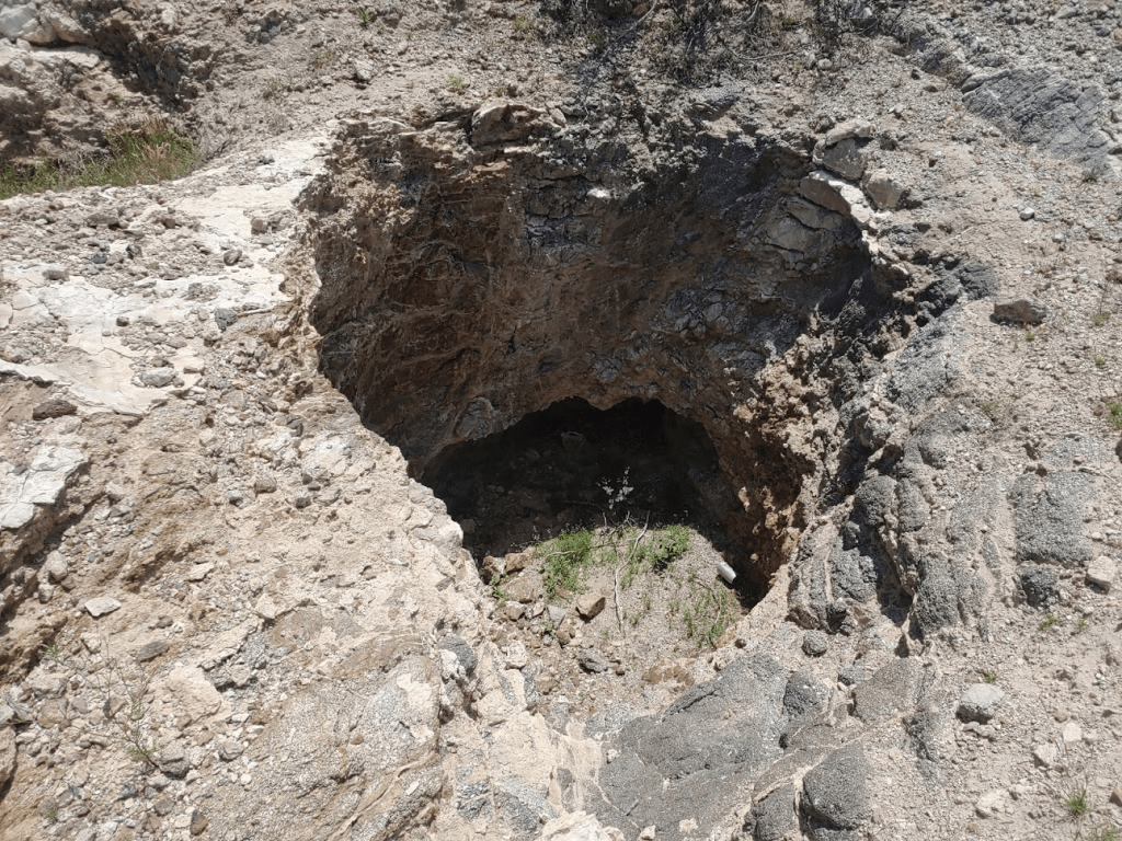
I noticed another open pit in the ground.
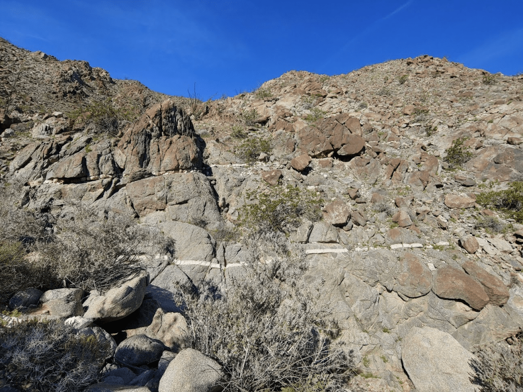
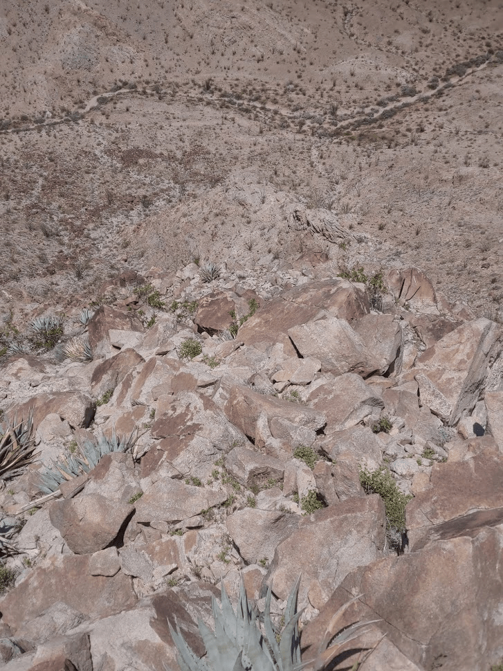
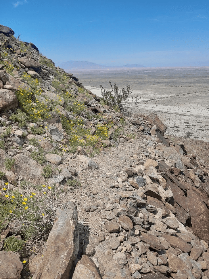
At this point I found a trail which led back down to the desert floor. This is likely an old miner’s trail. Most people climbing Fish Creek Mountains High Point use this trail as the main route up and down.

The trail is fairly steep. It was 1500 feet down to the desert floor in about 1.7 miles. There were a few sections where it was a bit hard to follow but there were many cairns to help guide the way.
I eventually reached the desert floor at 7.6 miles.
I reached the car once more at 1:53pm. This hike totaled 8.16 miles, 3228 feet elevation gain, and 6:20:01 total time.

As I was packing up my car, a truck pulled up and the guy in the passenger seat told me they had been camping in one of the mountain canyons and they saw me standing on the summit. Pretty cool! The drive home was pretty eventful. As I drove south through Cuyamaca Rancho State Park on Highway 79, I was surprised to see many of the parking lots full despite the signs indicating the park was closed. A few of the parking lots were barricaded off, but many of them weren’t. I guess the rangers weren’t enforcing the closure. Unfortunately, it took me nearly 4 hours to get home. I was unaware that the Westbound 8 was closed for construction which slowed me down by probably an hour and a half as traffic was being diverted off the freeway. Despite that, it was still a very good day. It could be one of my last days in the desert for a while. The forecast is predicting 90 degree weather in the coming days.
