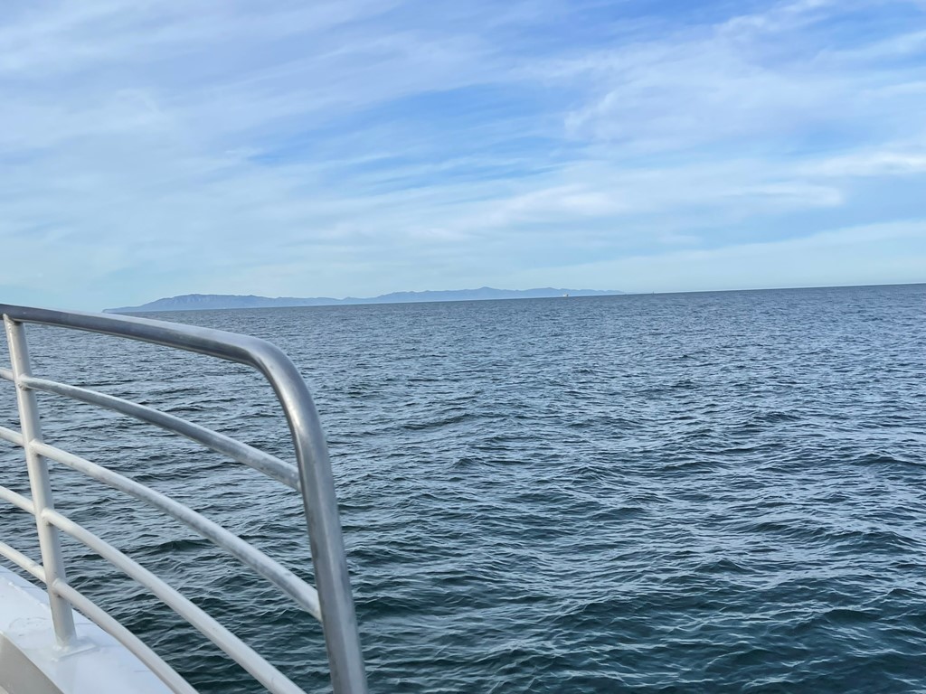
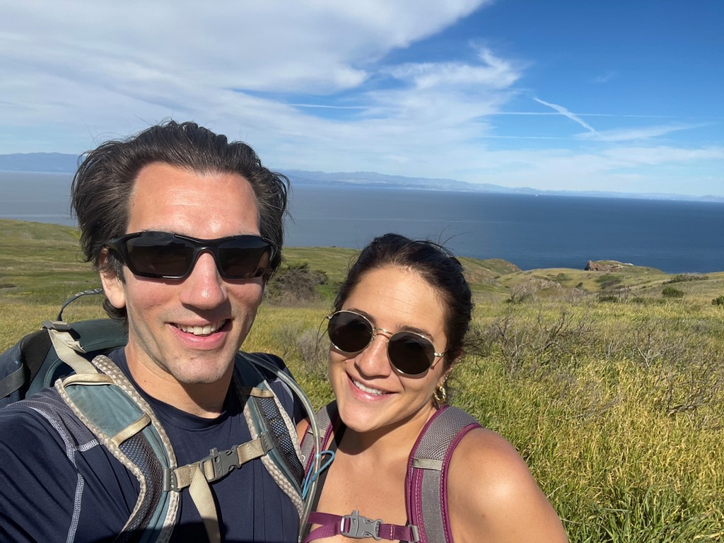
El Montanon is the highest peak within Channel Islands National Park at 1808 feet. It is located on Santa Cruz Island, which is the largest of the 8 Channel Islands located off the Southern California coast. Alexia and I arrived at the Ventura Harbor and took the 8am Island Packers ferry to Scorpion Anchorage on Santa Cruz Island. It took about an hour and a half to reach the island. El Montanon is the peak on the left.
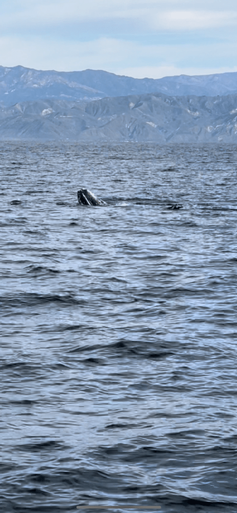
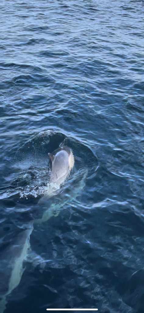
About halfway to the island, we were lucky enough to spot a gray whale, as well as a few hundred dolphins! The boat followed the whale for about 15 minutes which was pretty cool. We saw it surface a few times to breathe. After a while the whale became more comfortable with the boat’s presence, and we saw it lay on its back and poke its head above water a couple times. It appeared to be playing with the dolphins which was an amazing sight.
The dolphins were also swimming along with the boat.
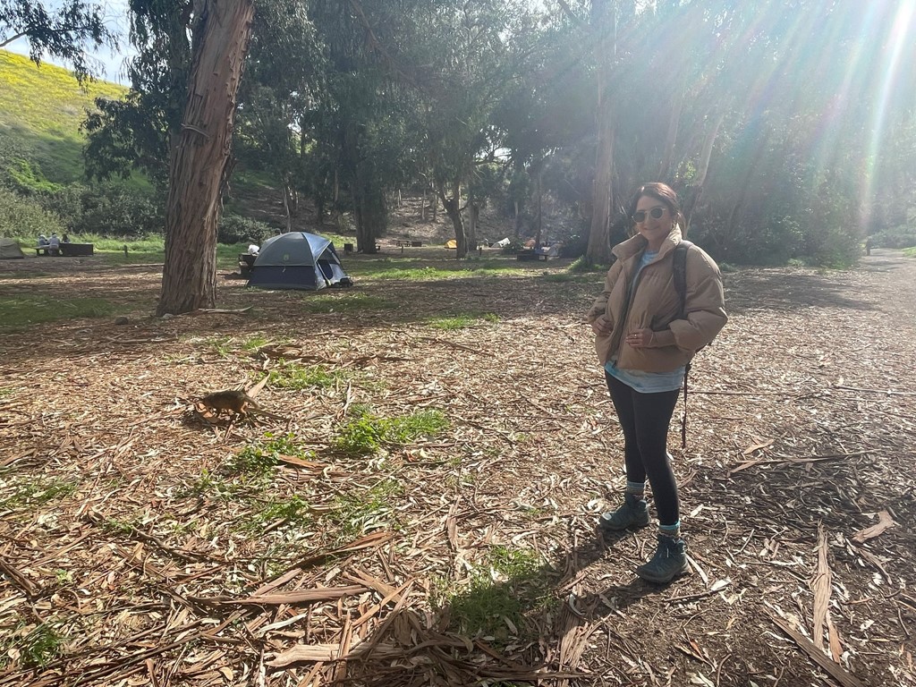
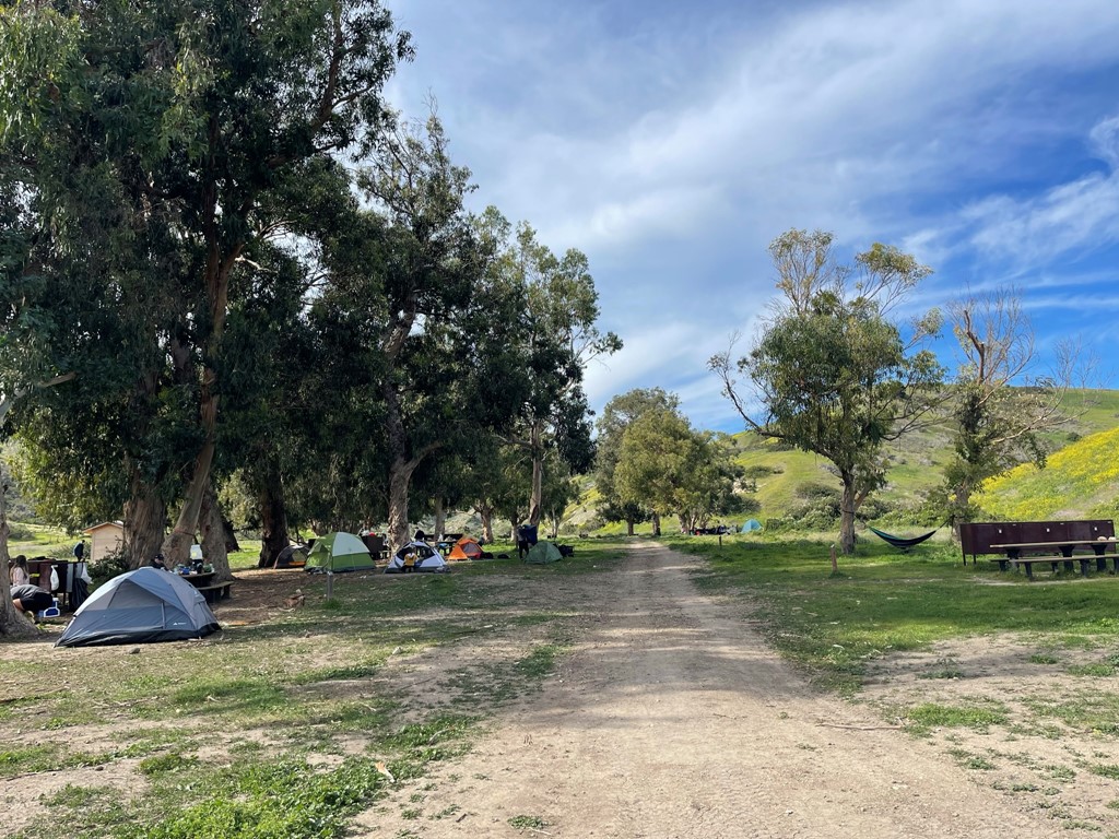
We reached the island around 9:30am. They force you to listen to a 15 minute safety lecture given by a volunteer which I found to be very annoying, especially considering the limited time we had on the island. There’s no reason they couldn’t have given us all the necessary information while we were still on the boat. Anyway, we began hiking at 9:49am from sea level. We passed through Scorpion Ranch, which used to be an old sheep ranch and now contains a few historic structures as well as a visitor center.

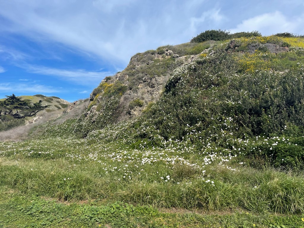
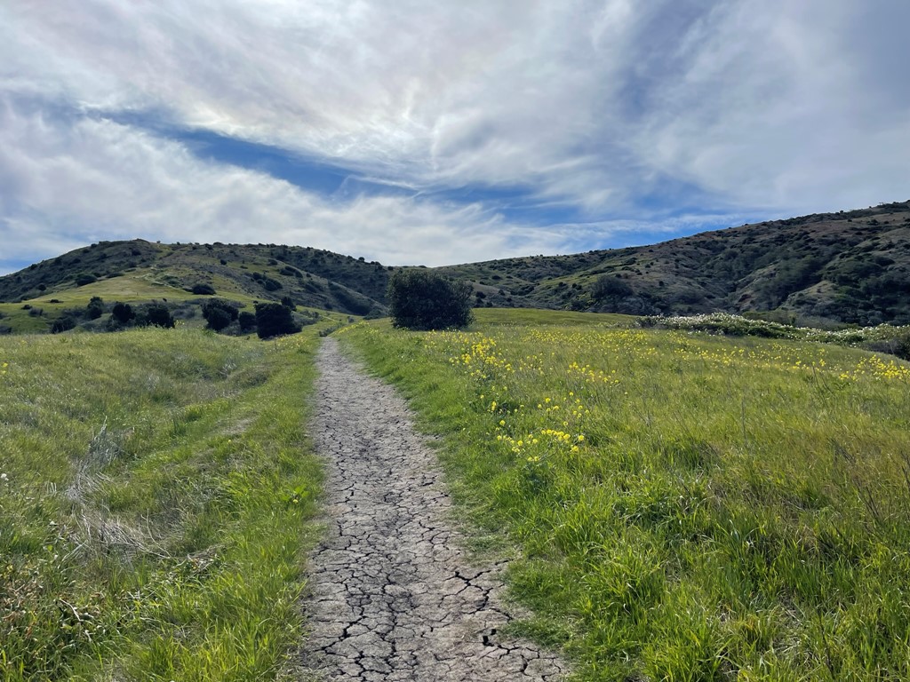
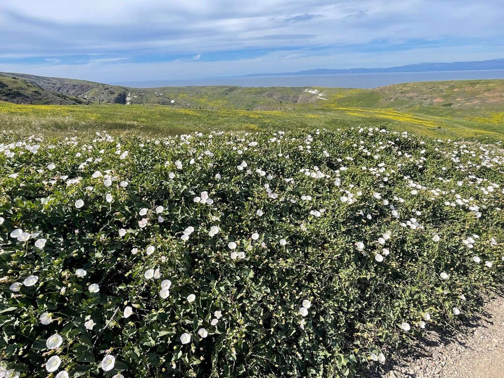
We noticed many white flowers on the surrounding hillsides.
We passed through Lower Scorpion Campground. We spotted a few island foxes near the trail. Island foxes are endemic to the Channel Islands and are commonly seen in the campgrounds.
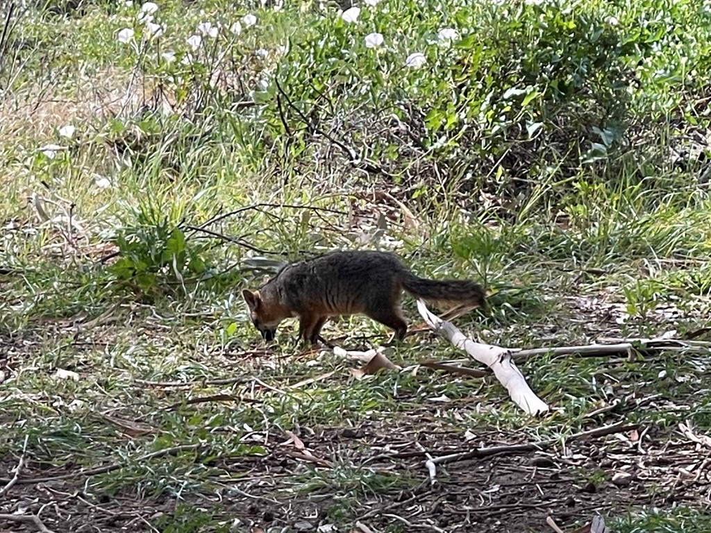
They were clearly very used to human presence and did not seem scared of us at all.
We reached Upper Scorpion Campground a short while later. Both campgrounds appeared to be pretty busy. The campsites had bear boxes to protect food from the foxes.
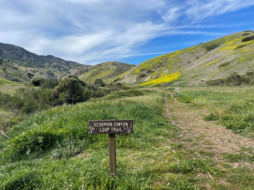
We found the Scorpion Canyon Trail at the west end of the campground.
We crossed a dry creek. The day was beginning to warm up in the sun.
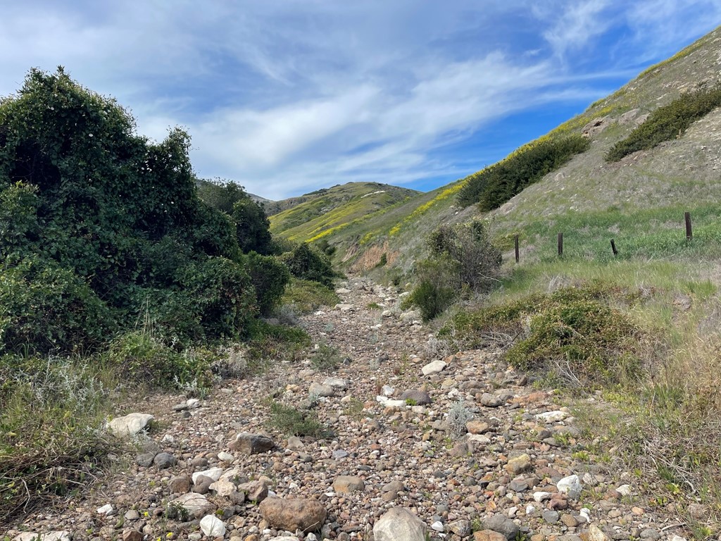
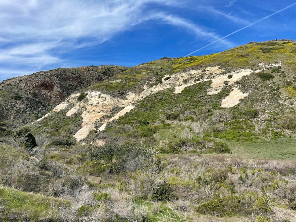
The surrounding hillsides were very beautiful. Everything was green which contrasted nicely with the white colored rock.
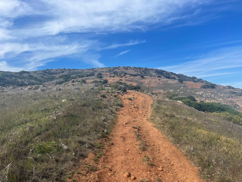
The trail turned southeast and began to gain some elevation.
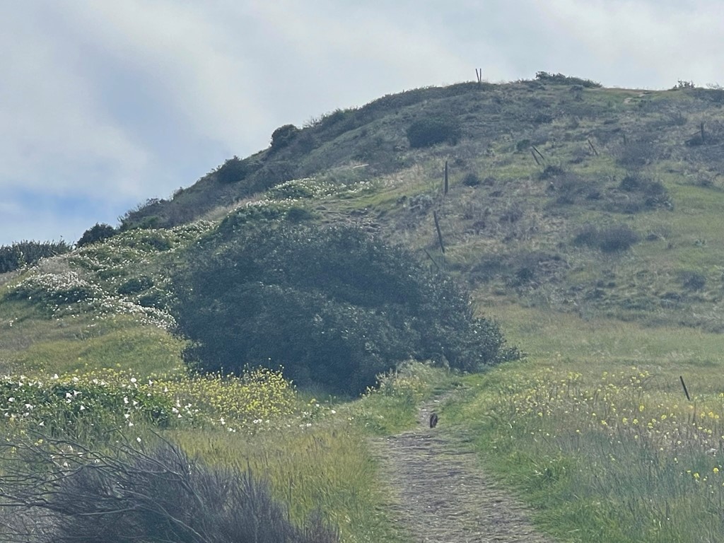
We spotted a fox ahead of us on the trail. We could see him for the next mile or so.
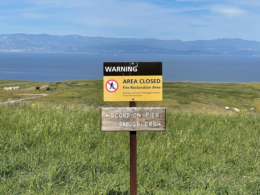
We reached a 3 way trail junction at 2.2 miles. Left would take us to Smugglers Road which leads back to Scorpion Harbor (which would be our descent route). We went right towards El Montanon.

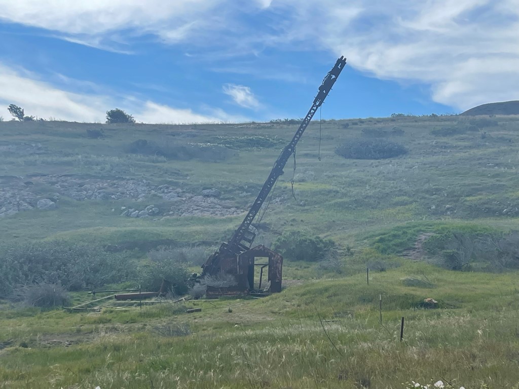
We saw a rusty old crane off to the left.
We hiked southwest towards Montanon Ridge. The trail became rockier at this point.
The peak was now visible to the south.

We descended a small dip and then climbed a short steep section to the ridge.
We reached a trail junction at 3.5 miles. Right would take you on the Montanon Ridge Trail to the North Bluff Trail which eventually goes back to Scorpion Harbor. We went left towards the peak.
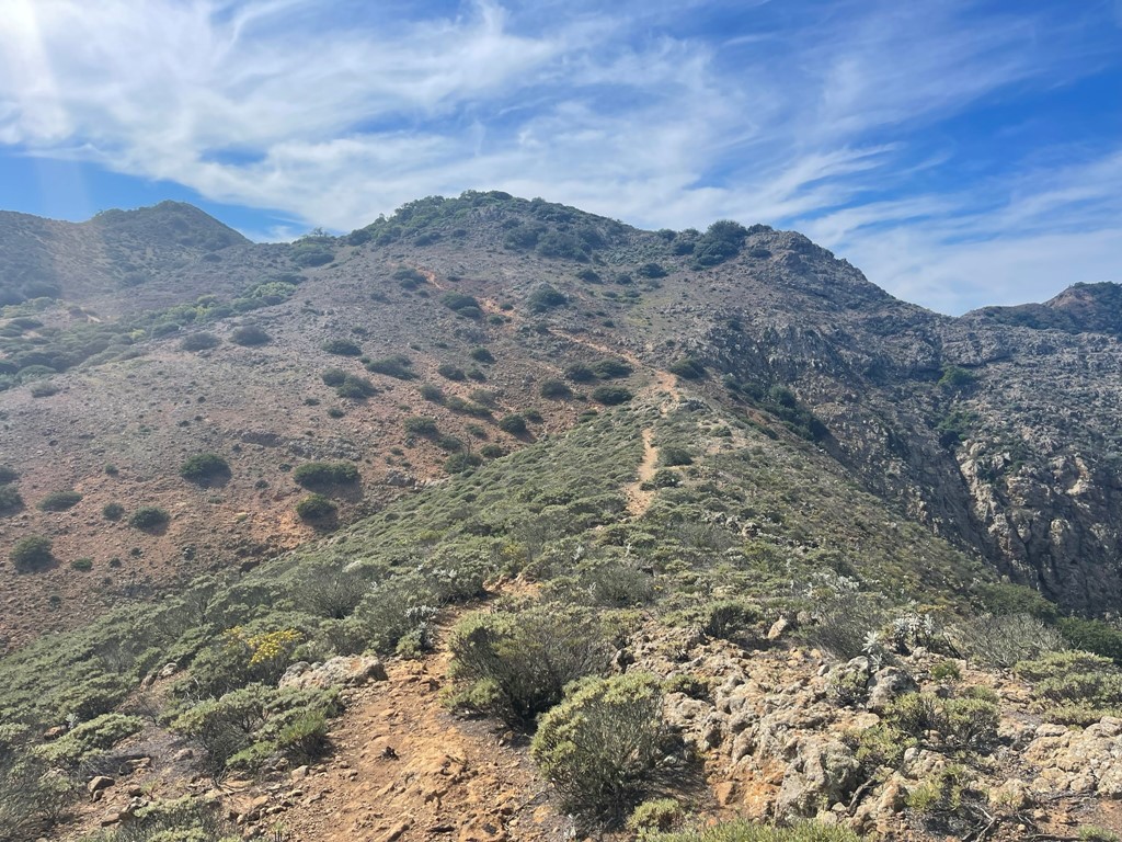
We hiked southeast along the ridge to the peak.

The trail narrowed and became rockier along the ridge.

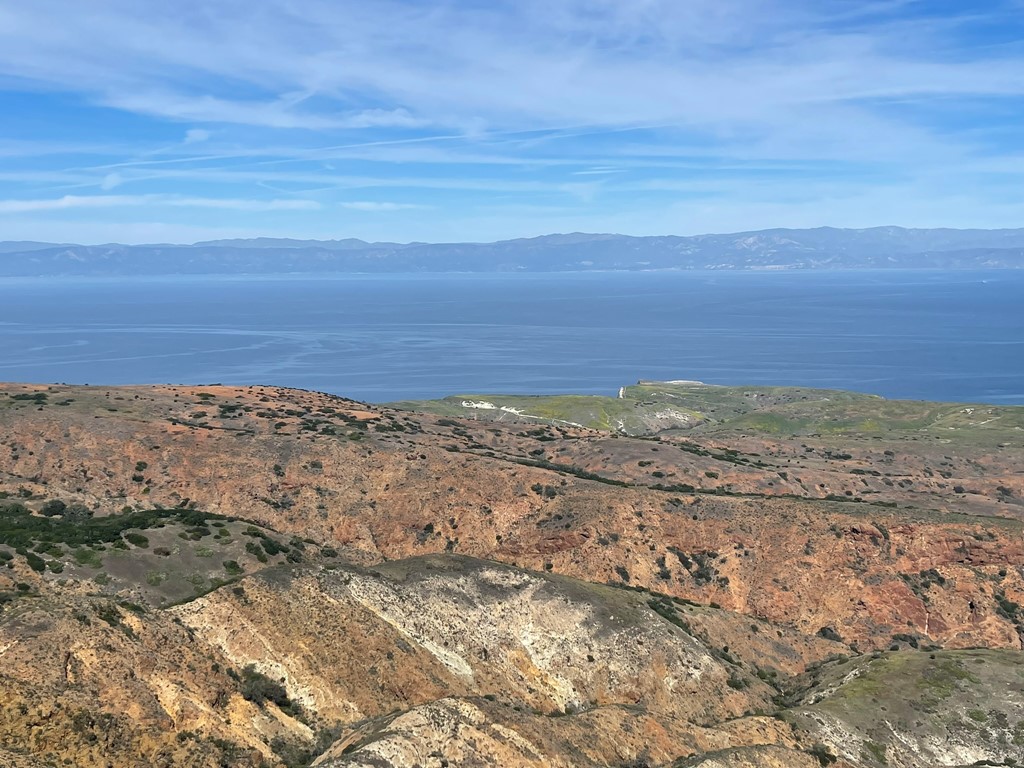
Alexia stopped and waited for me about a half mile from the summit. I hiked up and reached the bump with a small radio installation and a few solar panels. There were 2 guys here resting and eating a snack. I realized the actual peak was the next bump to the east, so I just said a quick hi and then hiked to the true summit. I was standing on top at 12:09pm at 4.5 miles. This was my 10th national park high point which was pretty cool. I signed the register which had been placed May 23, 2021. The previous entry was from January 29, which I found surprising. I’m guessing a lot of people stop at the radio installation thinking they’ve reached the actual summit. The views were great despite some thin clouds. To the west I could the other side of the island, including Devils Peak. At 2450 feet, Devils Peak is the highest point on Santa Cruz Island and the entire Channel Islands. The western half of the island, including Devils Peak, is outside the national park boundary which is why El Montanon is the national park high point.

Anacapa Island was visible to the west.

To the northeast I could see Hines Peak rising above the Ventura coastline.

To the north I could see Big Pine Mountain rising above the Santa Barbara coastline.
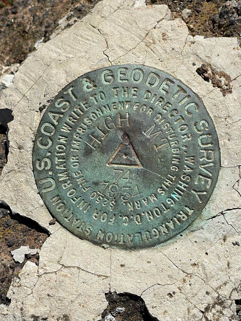
I chatted with the 2 hikers as I passed them on the way back. Turns out they were planning to make a big loop by continuing on the trail to Smugglers Cove, and then taking Smugglers Road back to the harbor. I found Alexia once more and we took a short lunch break. On the way back I climbed up a short side trail to High Mount Benchmark, which I reached at 5.4 miles.
From there we followed the trail back down to the Scorpion Canyon Loop Trail junction, which we reached at 7 miles. We went right this time to make a small loop out of it. A short while later we went left when we reached Smugglers Road.
We passed some more pretty flowers.
Towards the end we stopped at a bluff overlooking the ocean and sat for while to soak in the views.
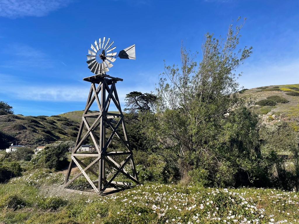
We hiked down the road back to Scorpion Ranch. We passed by the old windmill.
We spent some time exploring the old ranch buildings which was pretty interesting. We finished the hike by resting on the beach until the ferry was ready to take us back.

We were done hiking at 2:44pm. Stats for this hike were 9.33 miles, 1913 feet elevation gain, and 5:00:47 total time.


On the way back we saw an entire feeding frenzy going on with dolphins and seals as well as about 1000 seagulls and a few pelicans. The boat captain was saying that the dolphins had driven a huge school of fish up to the surface which is why the seals and the birds had congregated here as well. It was pretty exciting! We reached Ventura Harbor around 5pm and made the long drive back to San Diego.
