Cirque Peak 08/07/2020
It was the first full weekend of August, so I decided to take advantage of the warm summer weather and make my 3rd trip of the year to the Sierra. My first 2 trips were in the spring, so I was only able to climb some of the lower peaks in the southern part of the range. I was very excited to climb some of the higher peaks now that the snow was mostly gone. I had Friday off work, so I left San Diego at 4:25am, hoping to have enough time for lengthy hike right away the first day. My plan was to climb Cirque Peak (12,900 feet), which is near Lone Pine and only a few miles south of Mount Whitney. I drove up to Horseshoe Meadow, which is 22 miles southwest of Lone Pine and about 6000 feet higher. Horseshoe Meadow contains a large parking area for hikers and backpackers, and also a walk-in campground. I got started from the Cottonwood Pass Trailhead at 9:39am from 9905 feet.

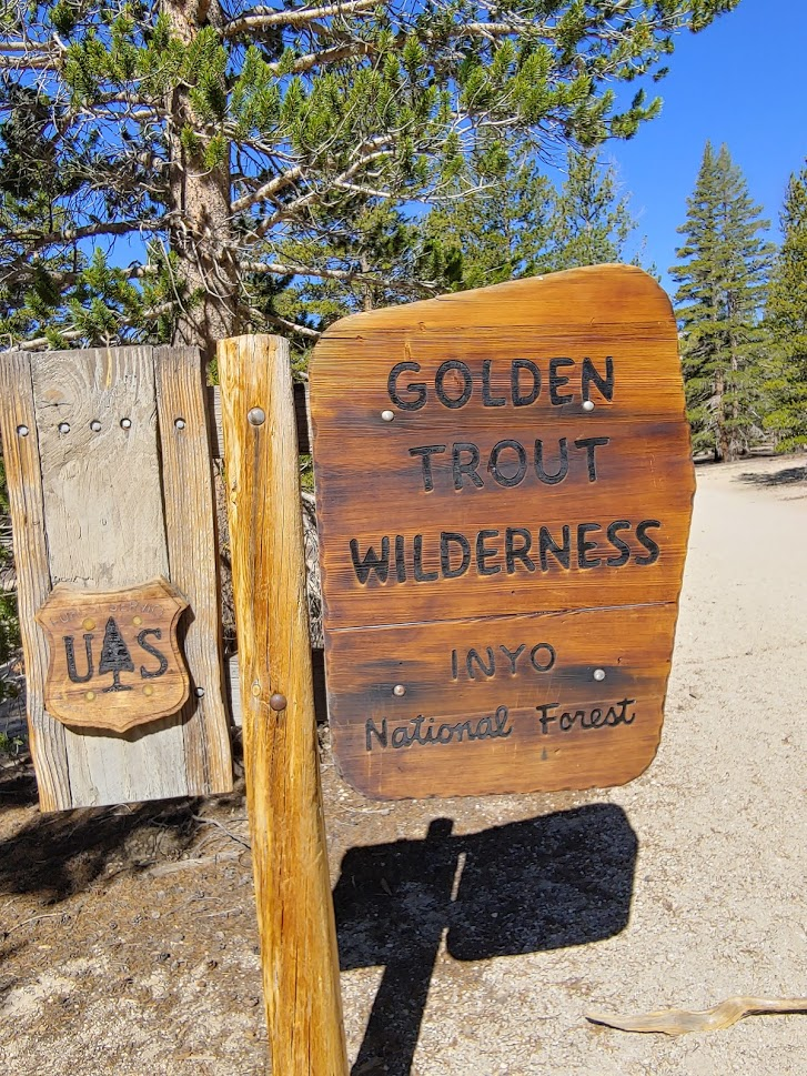
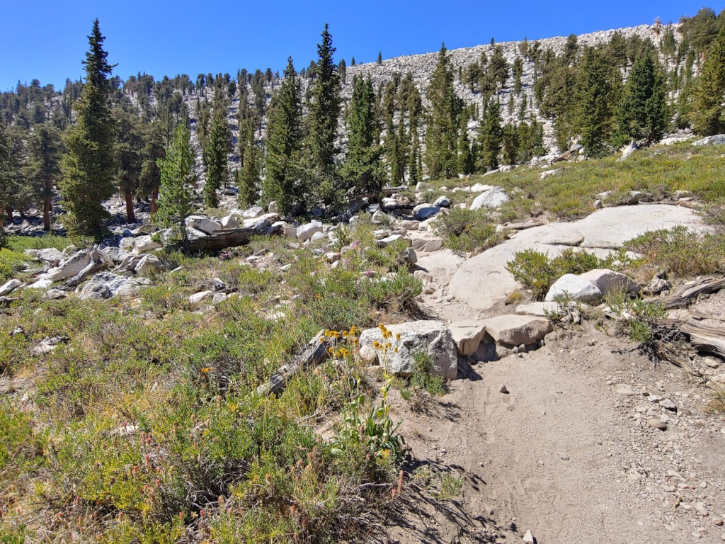
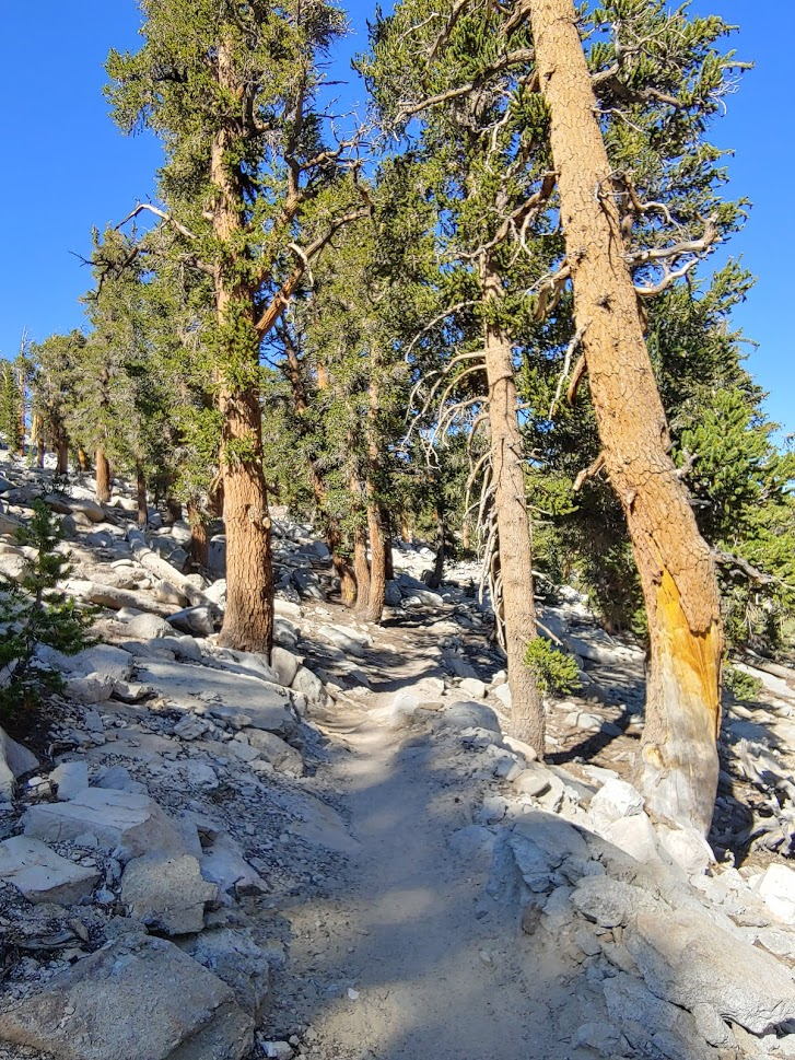
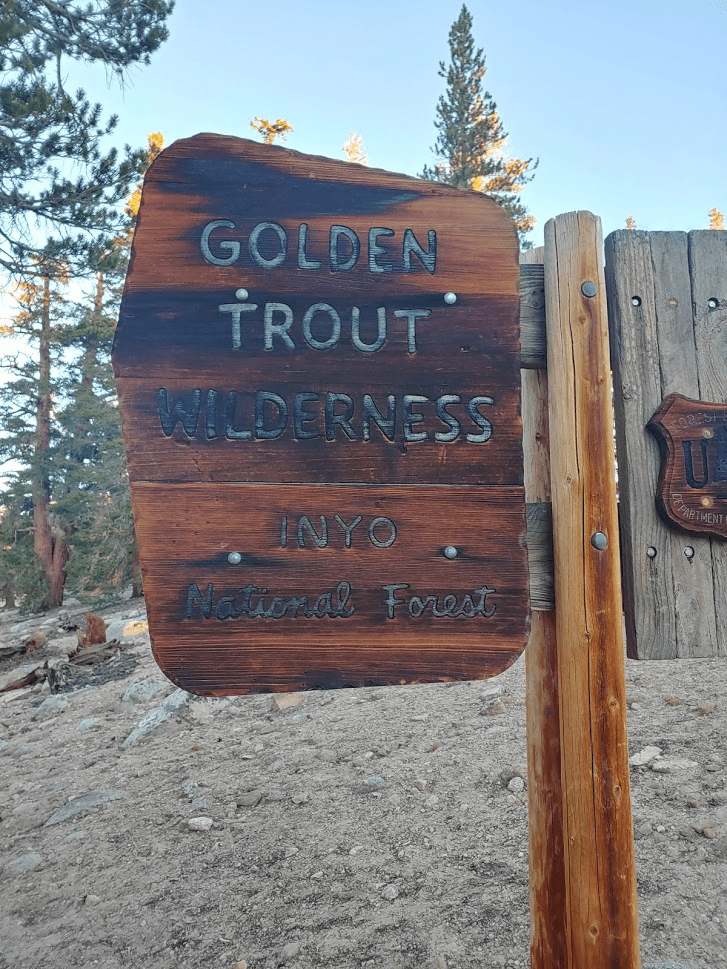
I started hiking east on the well maintained trail. At 0.3 mile I entered the Golden Trout Wilderness. Kern Peak, which I climbed in late May, is in the same wilderness area. Cirque Peak is actually the high point of the Golden Trout Wilderness (it’s about 1500 feet higher than Kern Peak).
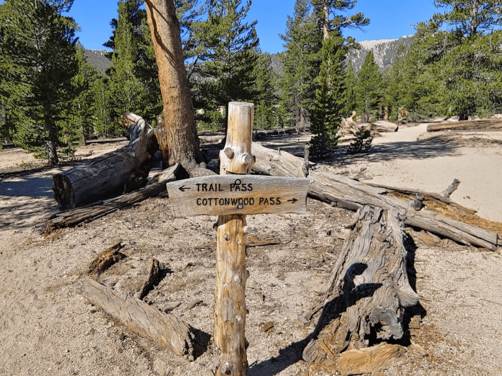
At 0.5 mile I reached a fork. I went right towards Cottonwood Pass.
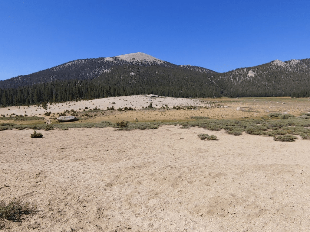
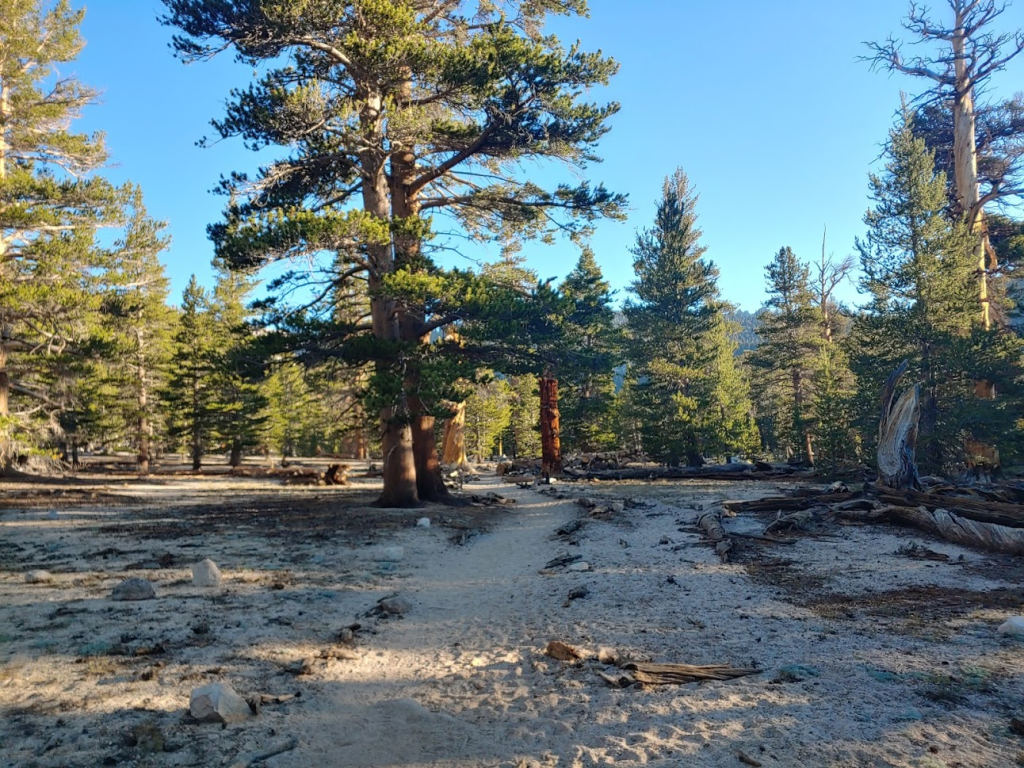
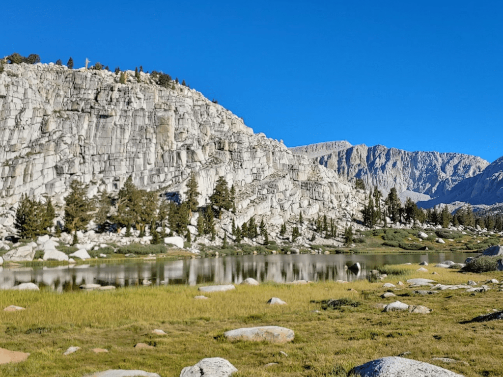
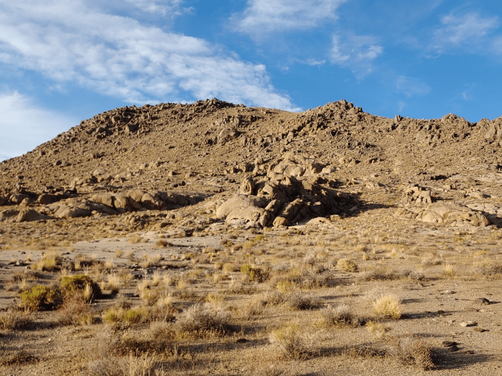
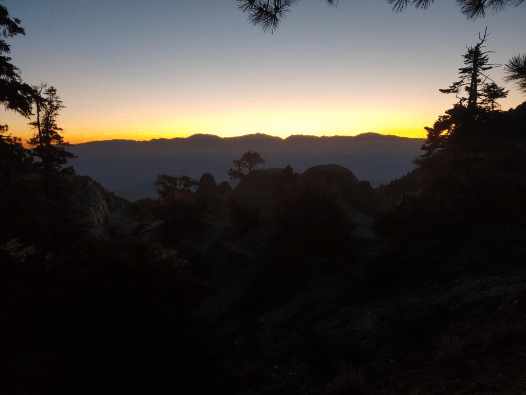
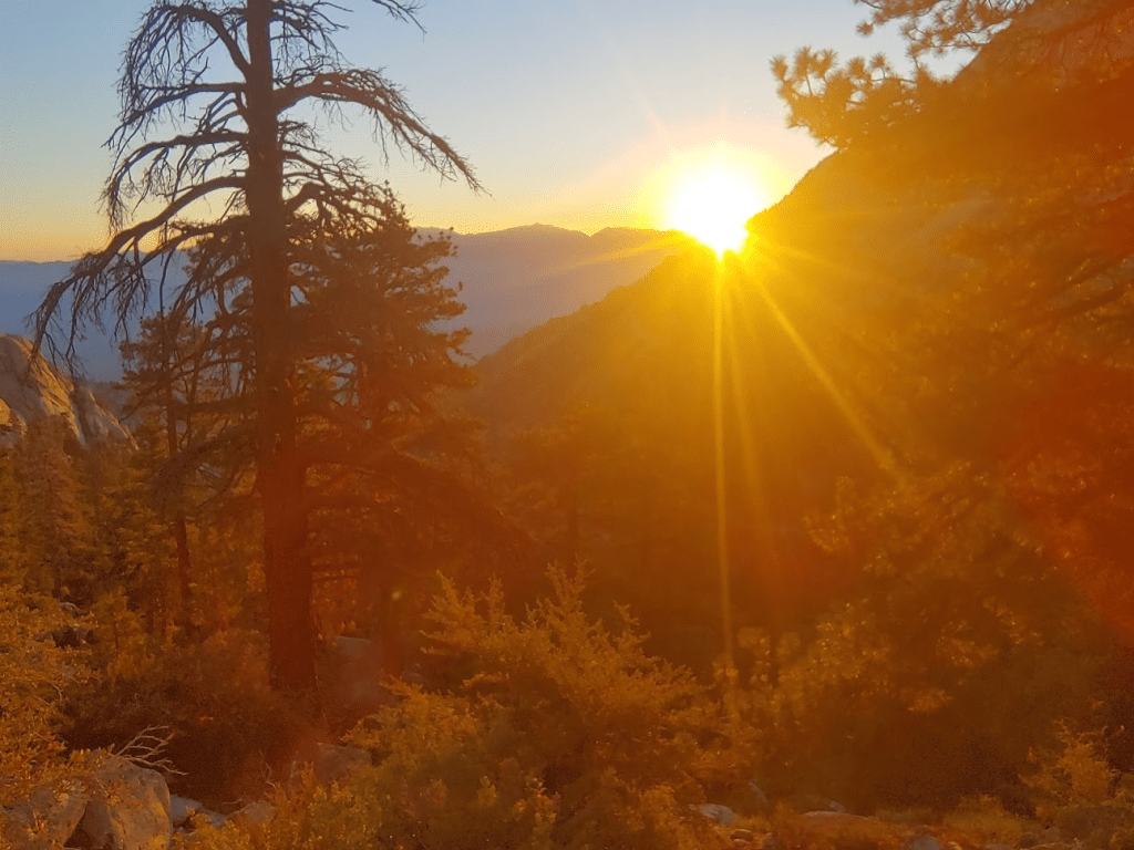
The weather couldn’t have been more perfect. Not a cloud in the sky and I was comfortable in short sleeves. I soon reached Horseshoe Meadow. The peak rising just above the tree line is Trail Peak.
At 1.6 miles I crossed a small creek.

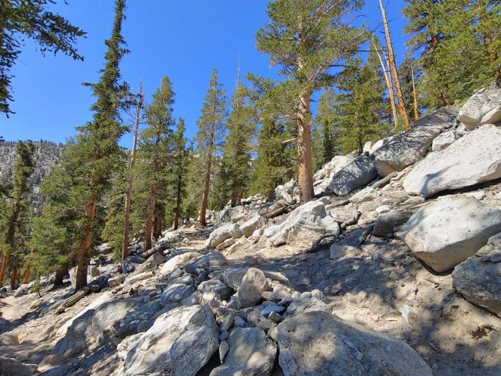
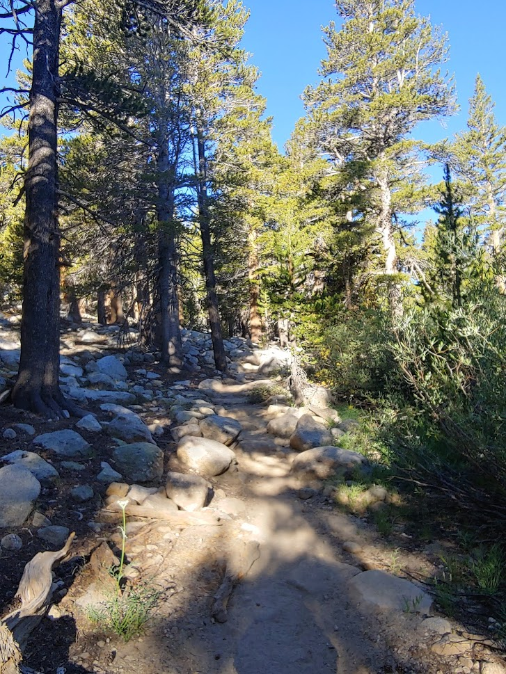
Around 2.5 miles the trail finally begins to gain some elevation as it makes a few switchbacks. It had been pretty flat up to this point.
I passed a few hikers and backpackers going each direction. At 3.1 miles I passed a group of 4 with shovels. I realized they were a trail crew. I’m not sure I had ever seen one out working before. They put masks on as I walked by. Hardly anyone else I saw all weekend wore masks, which is forgivable at such high altitudes where the air is so thin (I never wore one either).
At 4.03 miles I reached Cottonwood Pass at 11,126 feet. I turned right onto the Pacific Crest Trail.

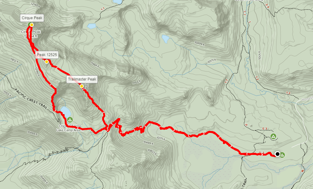
I soon left the trail and started making my way cross country to the northwest. My plan was to go up and over 2 bonus Peakbagger peaks on the way to Cirque: Trailmaster Peak (12,336 ft) and an unnamed peak (12,525 ft).

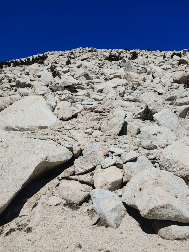
I soon was above the tree line as I climbed the rocky slopes up to Trailmaster Peak.
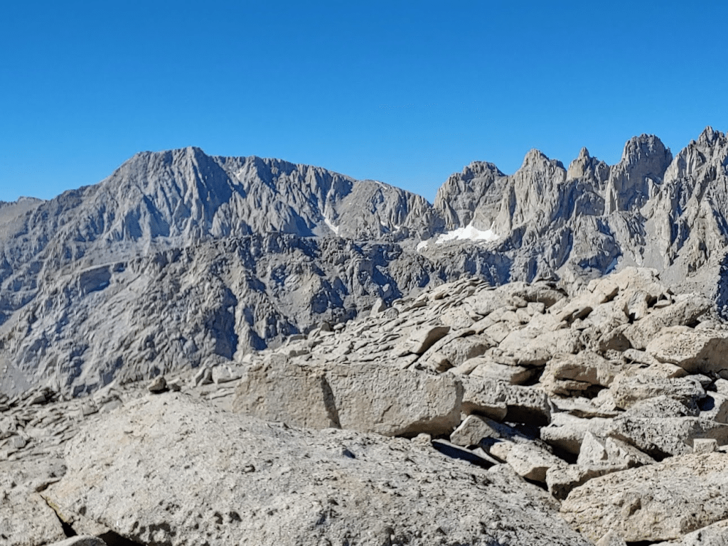
I reached Trailmaster Peak at 11:52am at the 5.03 mile mark! Peak 12525 (left) and Cirque Peak (right) were dead ahead.

I got my first view of Chicken Spring Lake to the southwest. I planned to descend in that direction.
I was somewhat surprised to find a register on the summit. The little memo pad from 2007 was actually pretty full. The previous ascent was July 26th. After a short break I continued to Peak 12,525. I descended about 200 feet before climbing again. There were a few small patches of snow.
At 5.8 miles I reached Peak 12,525. I actually wasn’t able to find a way to climb to the very top due to the steep rock formations.
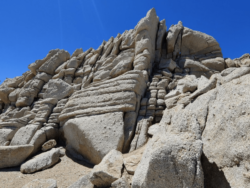
I continued on to Cirque Peak, my main goal for the day.
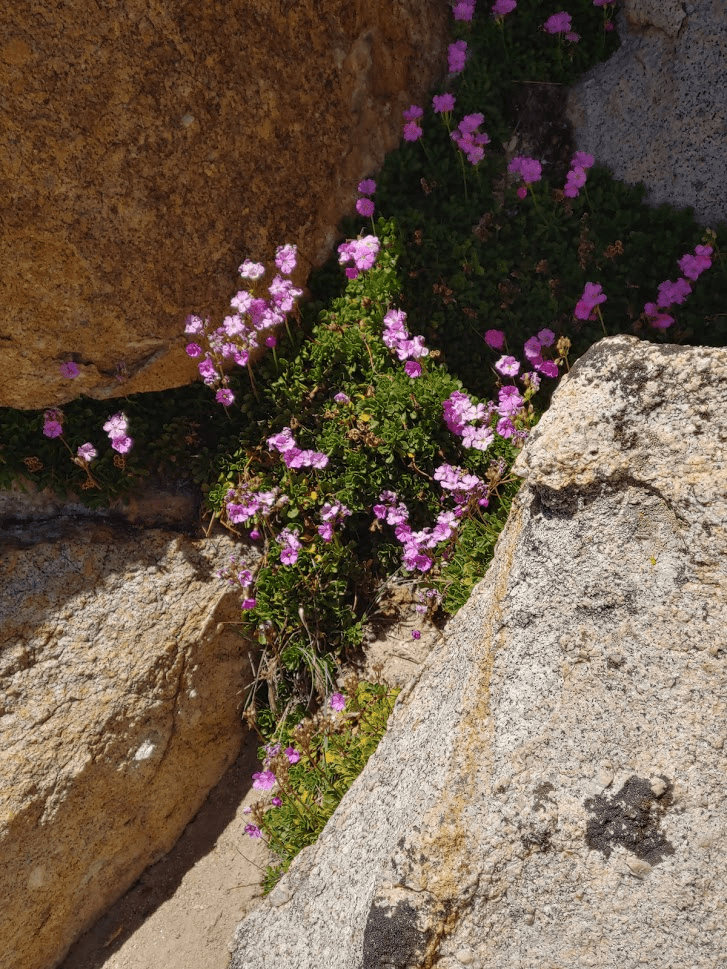
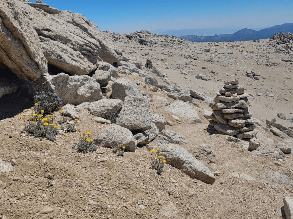
I was surprised to see some pretty yellow flowers so high up.

And some purple ones!
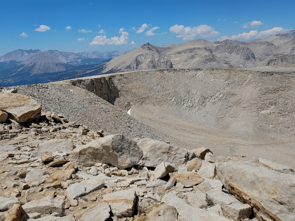
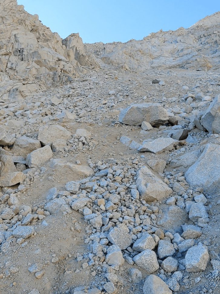
The ascent up the south face was very difficult. It was over 600 vertical feet of climbing. Going from sea level to over 12,000 feet in a few hours was not helping.
I reached the summit at 1:23pm at the 6.68 mile mark!

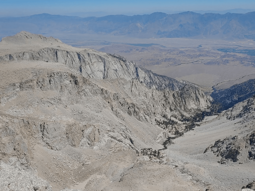
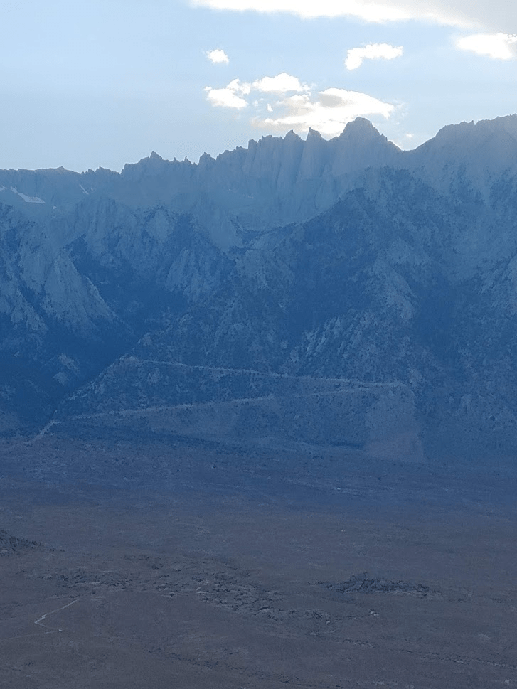
The views were outstanding. The massive bulk of Mount Langley was just a few miles north. Mount Langley was tomorrow’s destination. Mount Whitney (left) was also plainly visible.

A massive cirque divided Cirque Peak from Mount Langley. A cirque is a circular valley formed by erosion from glaciers.
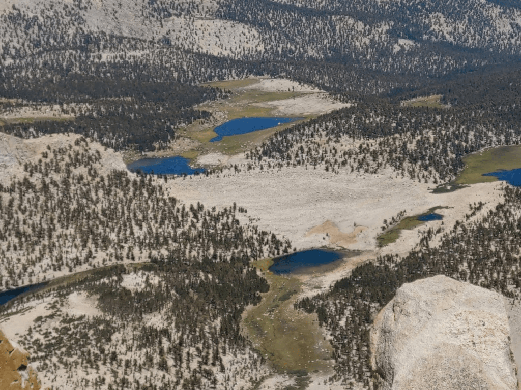
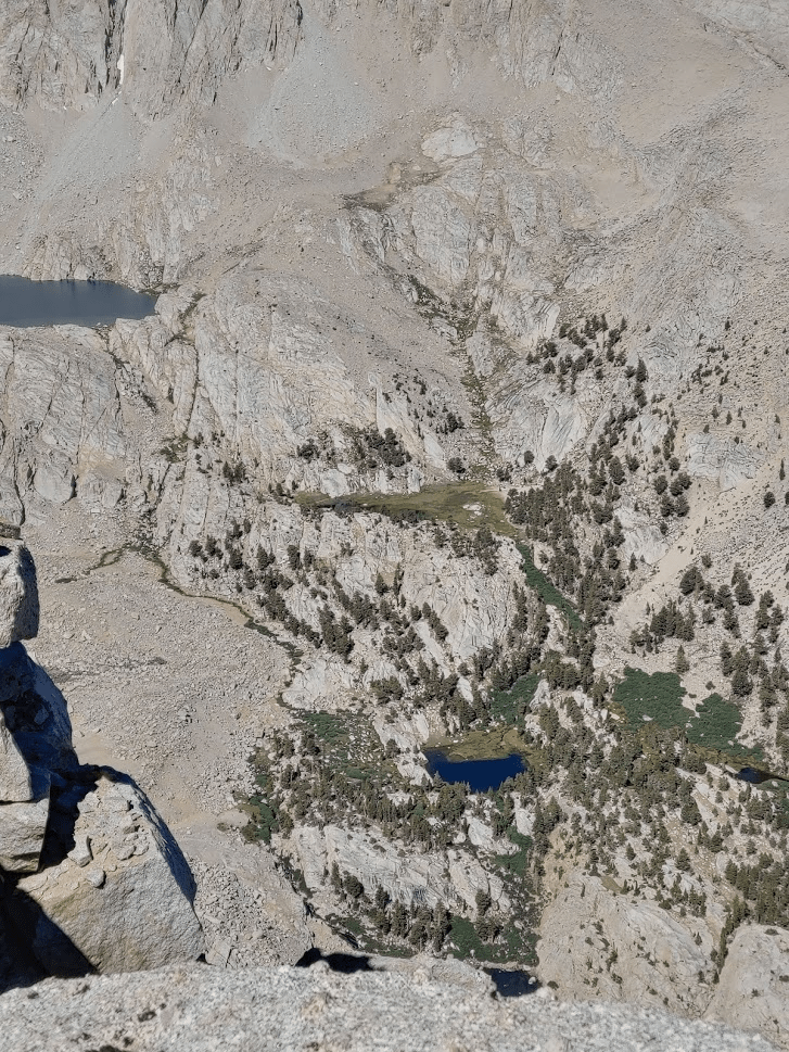
The Cottonwood Lakes could be seen to the northeast.
To the south I could see many of the peaks I climbed in spring. Pictured below are Kern Peak (right) and Smith Mountain (left).
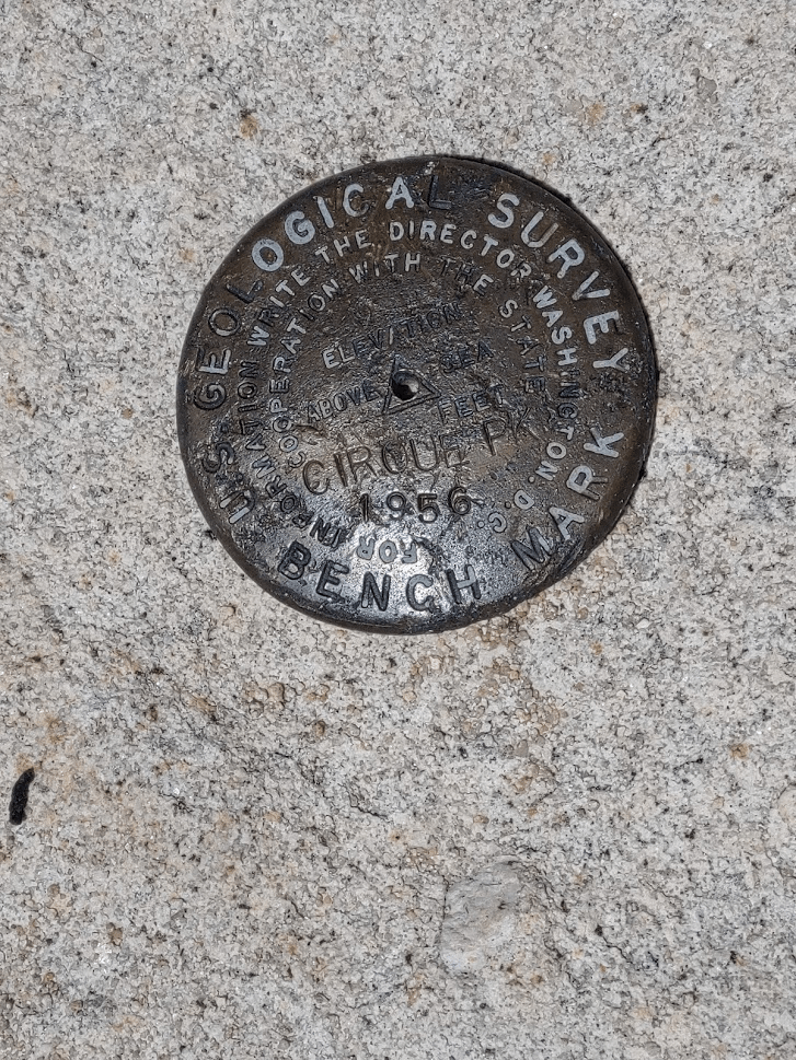
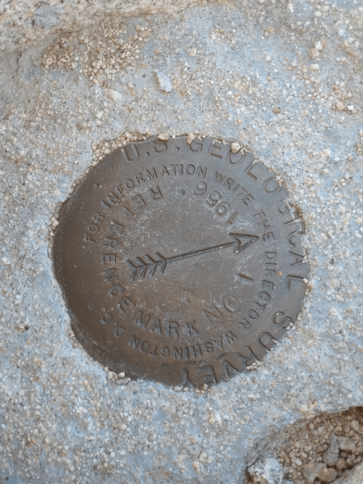
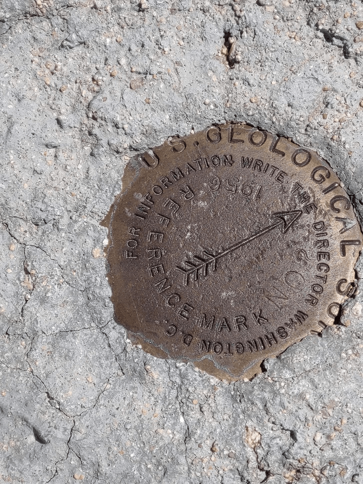
I signed the register which was placed in 2018. It was a fairly popular peak, with ascents every few days during the summer months. I located the benchmark and 2 reference markers.
I wasn’t in a great hurry to get back, so I took nearly an hour break on the summit. I began descending at 2:15pm.
I hiked south around the western side of Peak 12,525 and started climbing down towards Chicken Spring Lake.

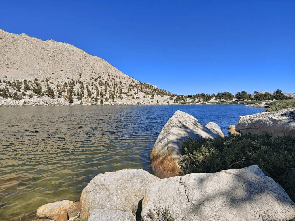
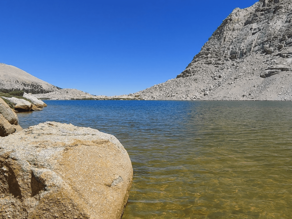
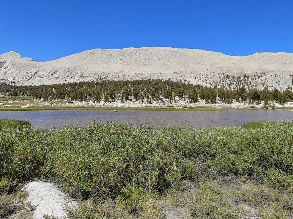
At 8.6 miles I reached the western shore of the lake. The lake is at 11,261 feet so just at the tree line.
I had some time to kill so I took my shoes off, rolled up my pants, and went in up to my knees. The cold water felt very nice on my tired legs. I also filtered some water for drinking. I had plenty of water with me for the remaining 5 miles, but I had recently bought a new filter and wanted to test it out. The next day’s hike was going to be over 20 miles, so I was planning to use it then to avoid needing to carry 4-5 liters of water.
I noticed some people on the other side of the lake. This area was popular for backpackers, so I was not surprised. I hiked around the west side of the lake and reached the PCT once more at 8.83 miles.
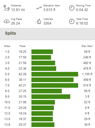
At 9.19 miles I passed the trail crew again. I was impressed – they must have been out all day. At 9.55 miles I reached Cottonwood Pass again, rejoining the trail where I had left it earlier. I retraced my steps back to the trailhead for the remaining 4 miles. The hiking itself was easy but I started to develop a pretty nasty headache. I figured it was a combination of the altitude and the lack of sleep from the night before. I managed to get back just fine but really did not feel well. I was very happy to reach the car once more at 5:57pm. This hike totaled 13.81 miles, 3615 feet elevation gain, and 8:18:02 total time.
I felt better once I ate, chugged Gatorade, and took some ibuprofen. I read for a while and then fell asleep as soon as it was dark (around 8:45). I had a great night of sleep.
Mount Langley 08/08/2020
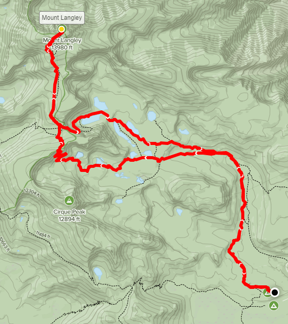
At 14,026 feet, Mount Langley is the 9th highest mountain in California. It is one of the few 14ers in California that has a maintained trail all the way to the top. Despite the “easy” approach, the hike is over 20 miles and makes for a long day. I didn’t wake up until 5:30am, which is sleeping in for me when I’m camping. I drove about a half mile north to the Cottonwood Lakes Trailhead. Similar to Horseshoe Meadow, there is a parking area for hikers and backpackers, as well as a walk in campground. There is also an equestrian campground here. The parking lot was already full, so I had to park off pavement. I got started at 6:16am from 10,100 feet.

It was very cold so early in the morning. My car was showing 37 degrees, and there was frost on the ground. At 0.4 miles I entered the Golden Trout Wilderness again.
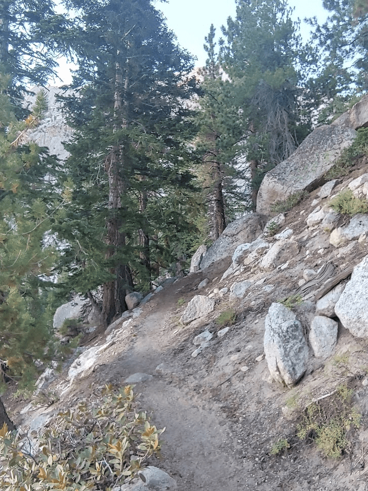
The hike started off very similar to the day before, as the sandy trail wound its way west and then north through beautiful pine forest.
The sun soon poked out above the hills to the east.

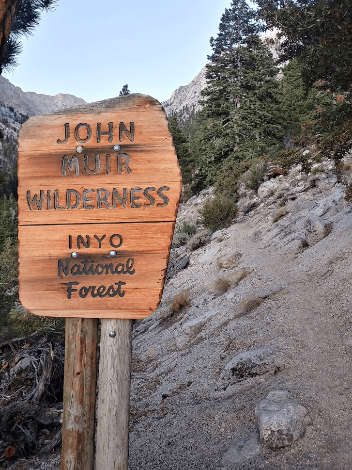
At 3.33 miles I entered the John Muir Wilderness. This is the same wilderness area that Mount Whitney is in.

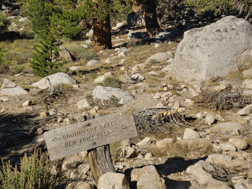
At 3.91 miles I reached a fork. Here one can either go left towards New Army Pass or right towards Old Army Pass. Both routes can be taken to Langley, so intended to do a loop. I decided to save Old Army Pass for the way down since it is shorter by about 1.5 miles.

The trail crosses Cottonwood creek and then starts to gain elevation as it continues west.
At 5.91 miles I reached another fork. I went right to continue towards New Army Pass.
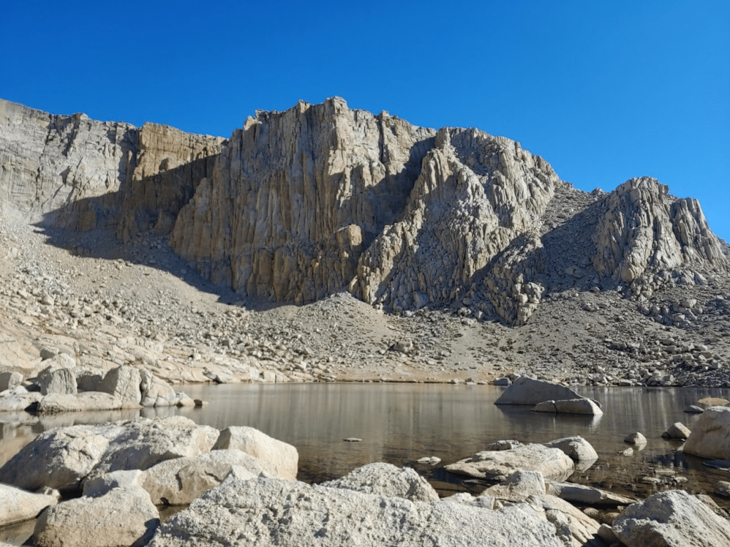
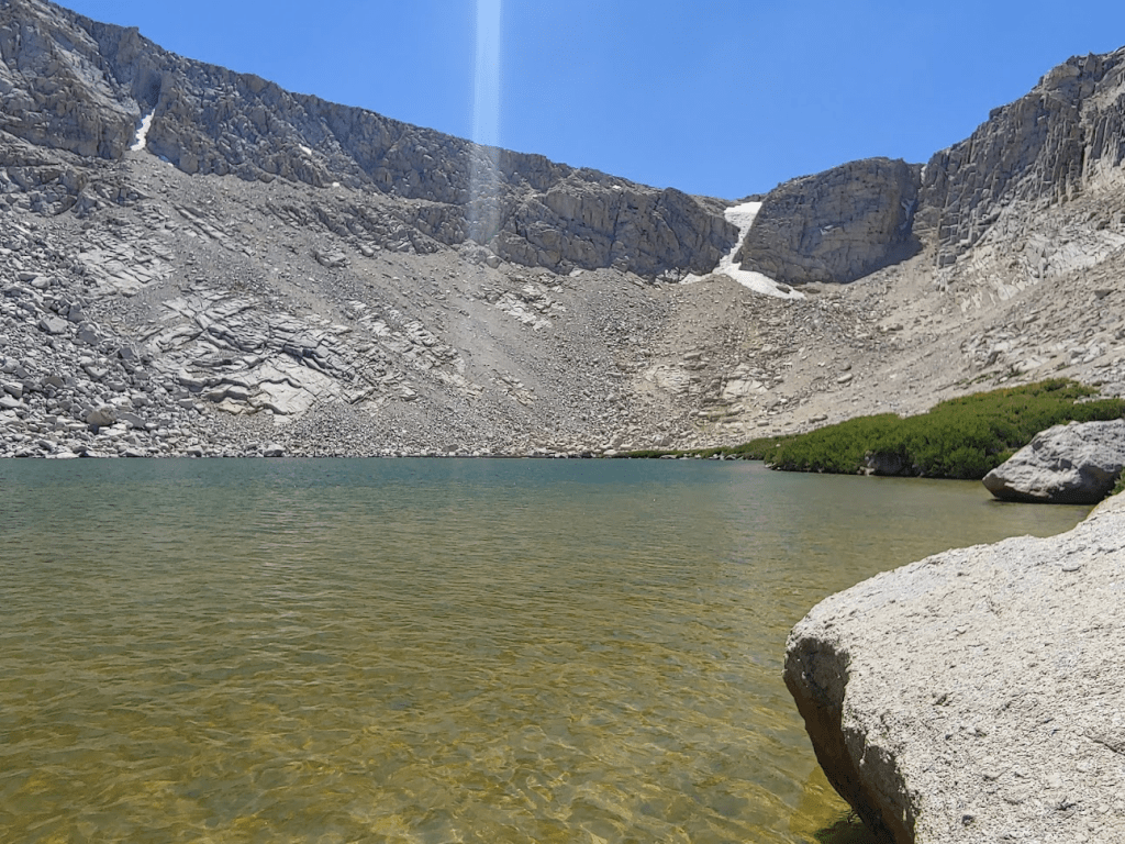
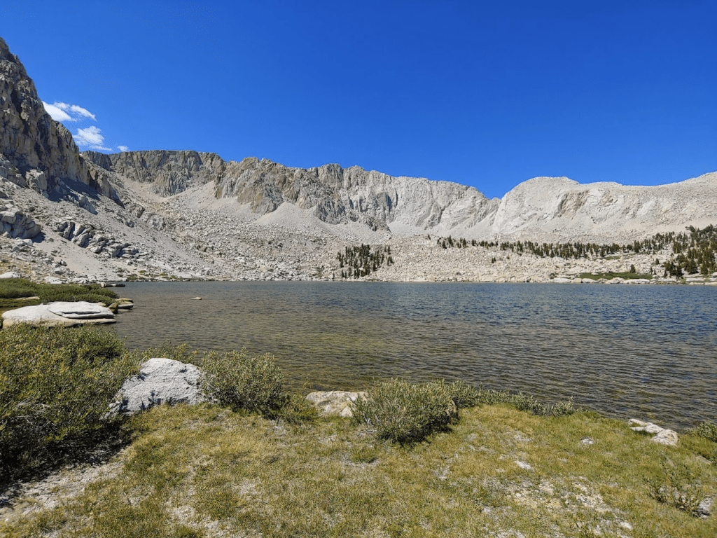
At 5.19 miles I reached Cottonwood Lake #1. This would be the first of many stunning alpine lakes I would see this day.

At 5.81 miles I reached Cottonwood Lake #2. There were impressive rock formations towering above this lake.
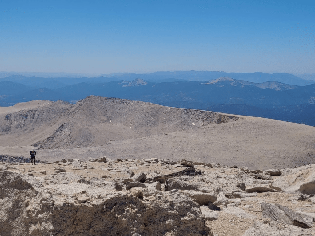
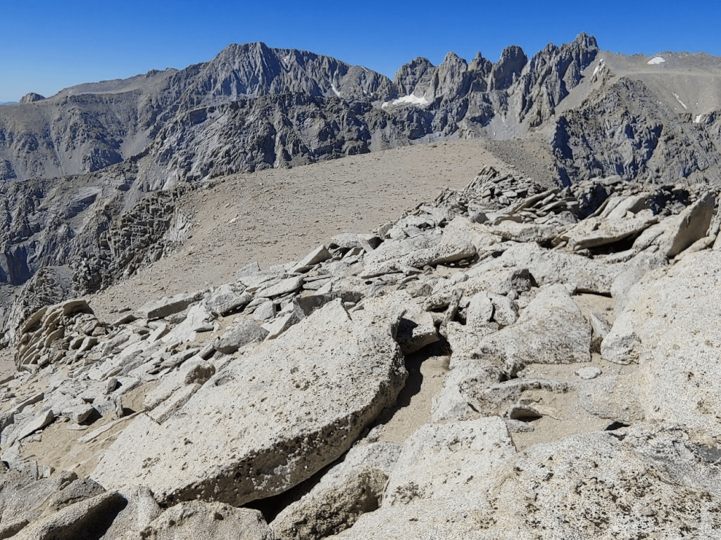
Cirque Peak came into view just above the 2nd lake. Trailmaster Peak and Peak 12,525 were also visible. Cirque Peak is sometimes combined with Mount Langley for a very strenuous day hike. I had briefly considered attempting that, but ultimately decided it would be much more enjoyable split into 2 days.

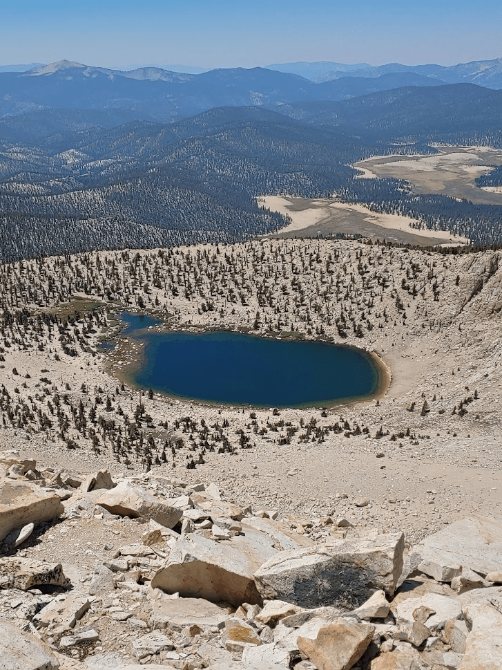
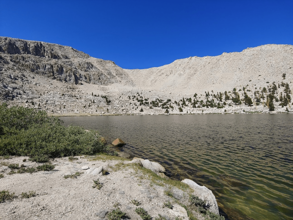
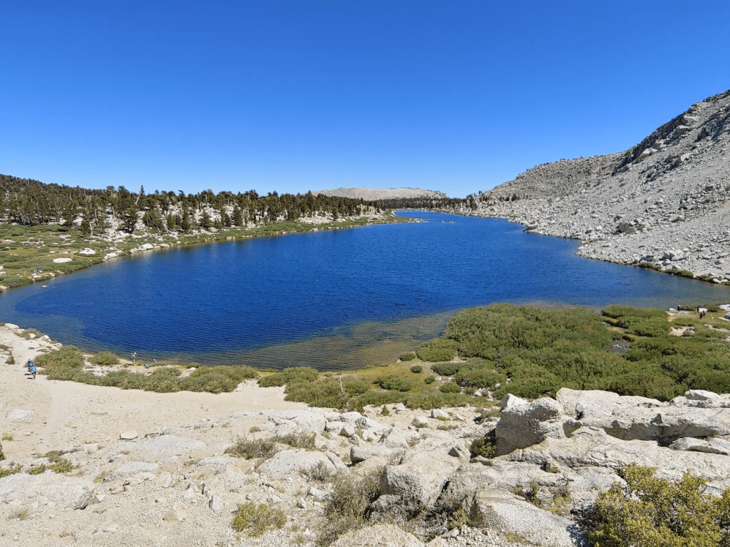
At 6.72 miles I reached Long Lake.

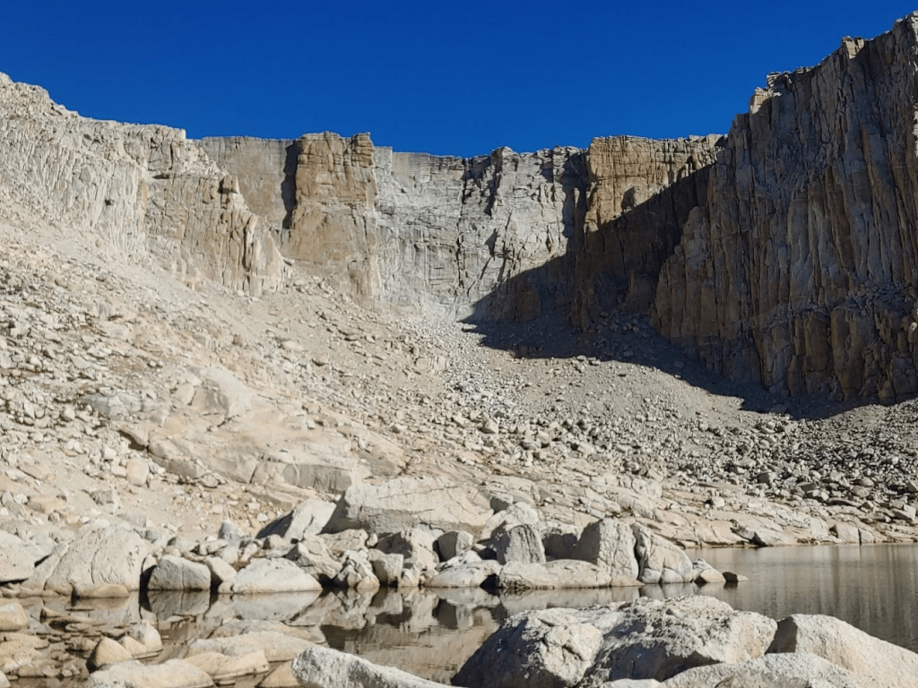
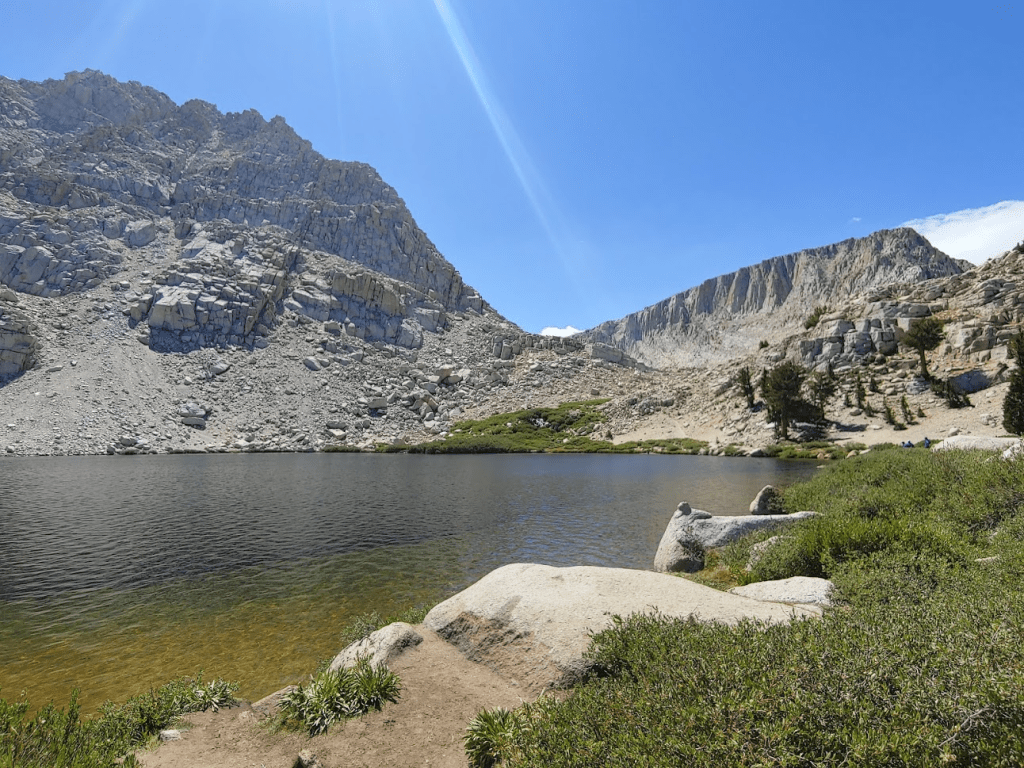
Each lake was more beautiful than the previous one. At 7.5 miles I reached High Lake. This would be the last lake until the descent. I had plenty of water for the moment so did not bother to fill up here.
The sheer walls above High Lake were very cool.
Once above High Lake, the trail starts to switch back its way up to New Army Pass. I was finally above the tree line.

I occasionally turned around to admire the 4 lakes I had just hiked past.
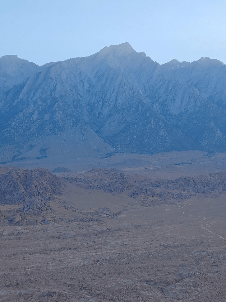
At 8.88 miles I reached New Army Pass at 12,304 feet. The trail crosses into Sequoia National Park here. I got my first good look at Mount Langley a few miles north.

At this point the trail descends about 300 feet, which was a little disheartening. At 9.61 miles I reached the junction with the Old Army Pass trail (this would be my descent route). The trail started to climb again from this point.
The trail started to feel somewhat crowded at this point, but it was nothing compared to Mount Whitney. I noticed a lady laying down off to the side of the trail at one point. I asked if she was okay or if she needed water. She said she was fine, but it sounded like she had already turned around because the altitude was getting to her. I wasn’t too worried about her – she was speaking coherently plus there were dozens of people around if she got into real trouble. At 10.74 miles I passed a sign asking people not to touch the cairns ahead.

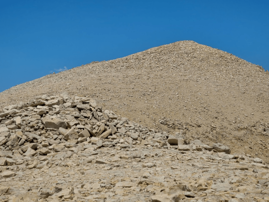
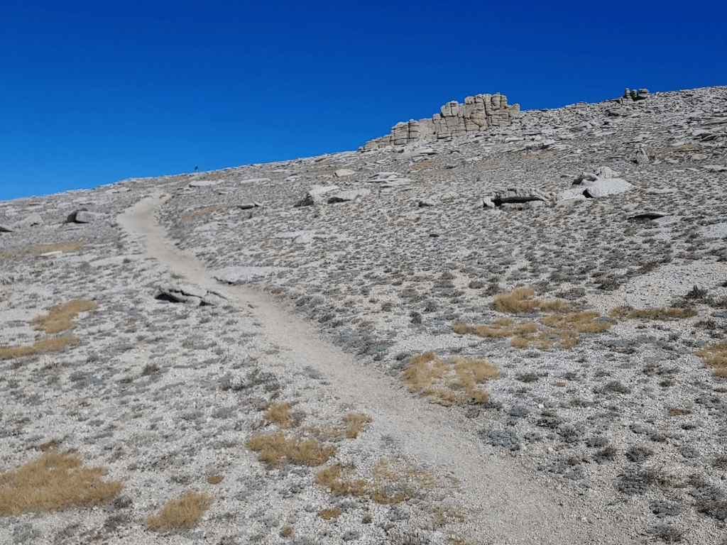
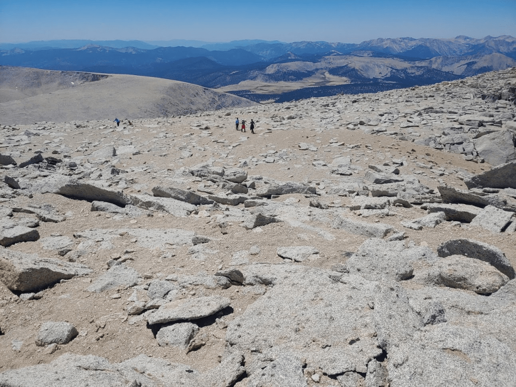
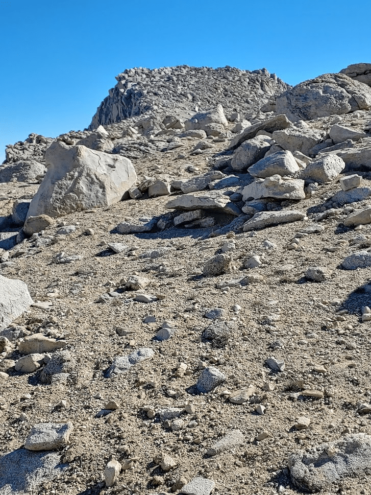
The trail fades beyond this point. It’s really just sand and loose rock from here to the top.

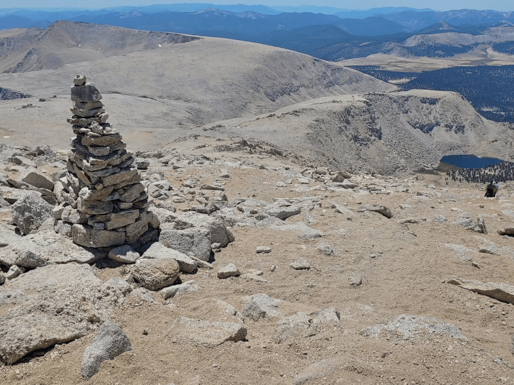
There were a bunch of very large cairns which did help with navigation.

The final 1.25 mile of this hike gains about 1400 feet of elevation. That would be steep at any altitude, but it was especially difficult so high up.

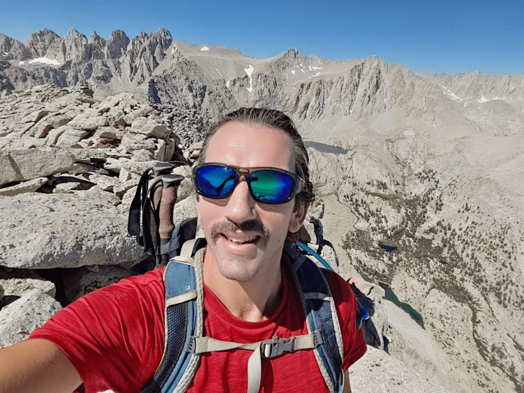
I reached the summit at 11:34am at the 12.09 mile mark!
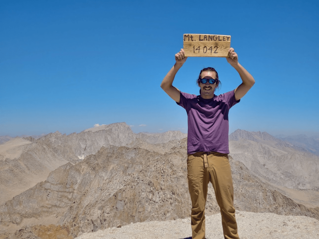
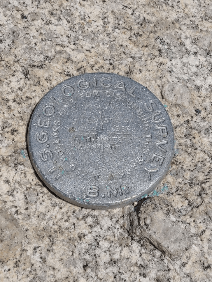
What a hike so far! The weather was ridiculously beautiful – not a cloud in the sky and no wind. I was comfortable in my T-shirt even above 14,000 feet. There were about 10-15 other people on the summit. There were 2 ammo boxes each containing multiple register books. I signed the newest one which had been placed in 2019. I located just one benchmark. Interestingly, it is labeled “14042” even though the official elevation is 14,026. The benchmark must be fairly old, and a new survey must have been done since it was placed.
The views, of course, were incredible. Multiple 14ers could be seen to the north, including Mount Whitney, Mount Williamson, Mount Russell, Mount Tyndall, and Mount Muir.
To the west I could see the Kaweahs and the peaks of the Mineral King area in Sequoia National Park.

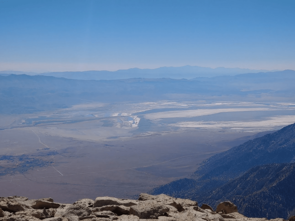
To the east I could see the Inyo Mountains across the Owens Valley. I was able to identify New York Butte, Keynot Peak, Mount Inyo, and Waucoba Mountain. I could even make White Mountain Peak far to the north, but it was too hazy to make out in a picture.
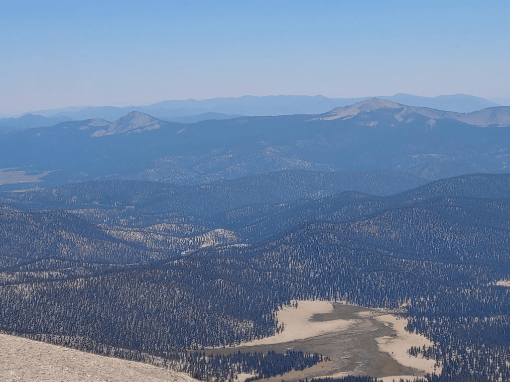
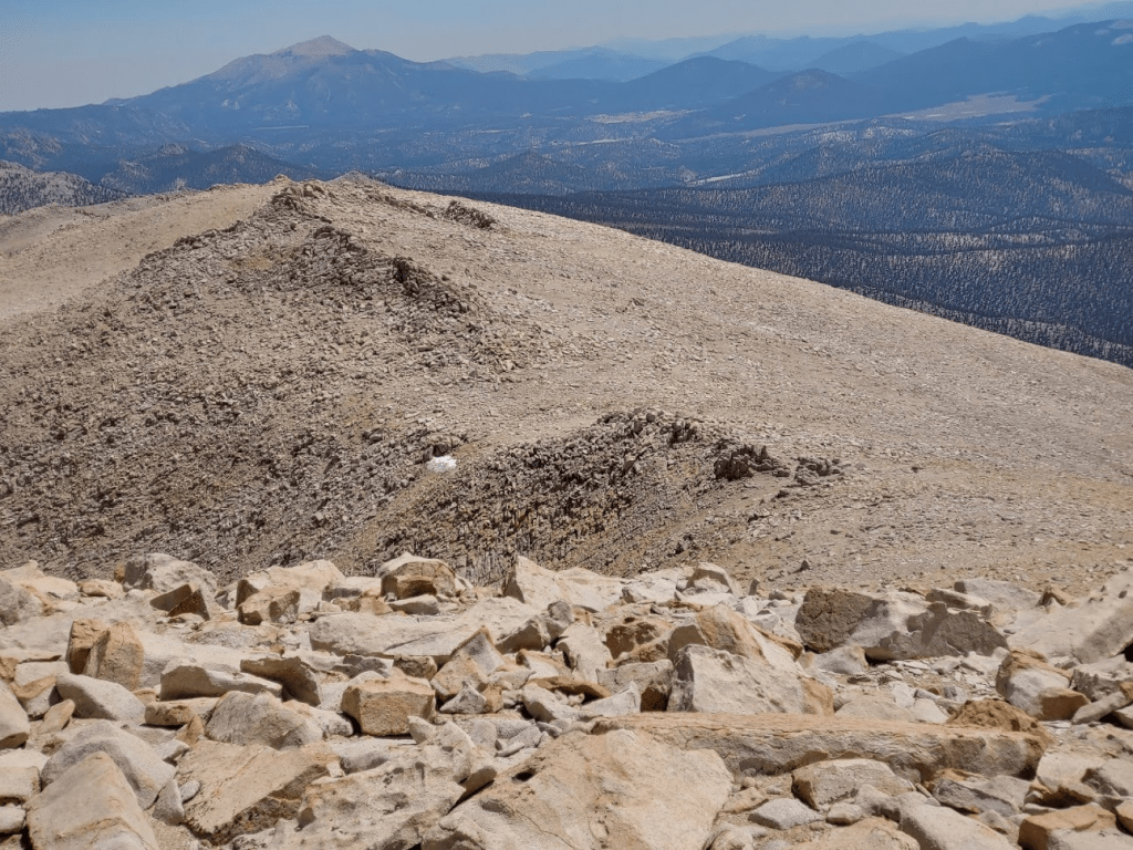
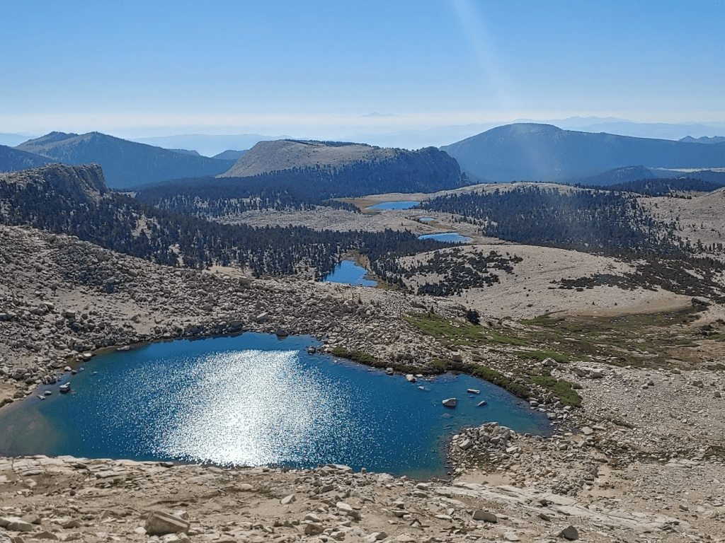
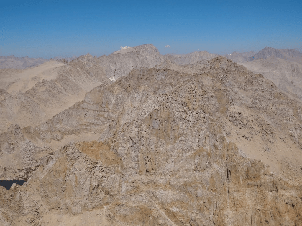
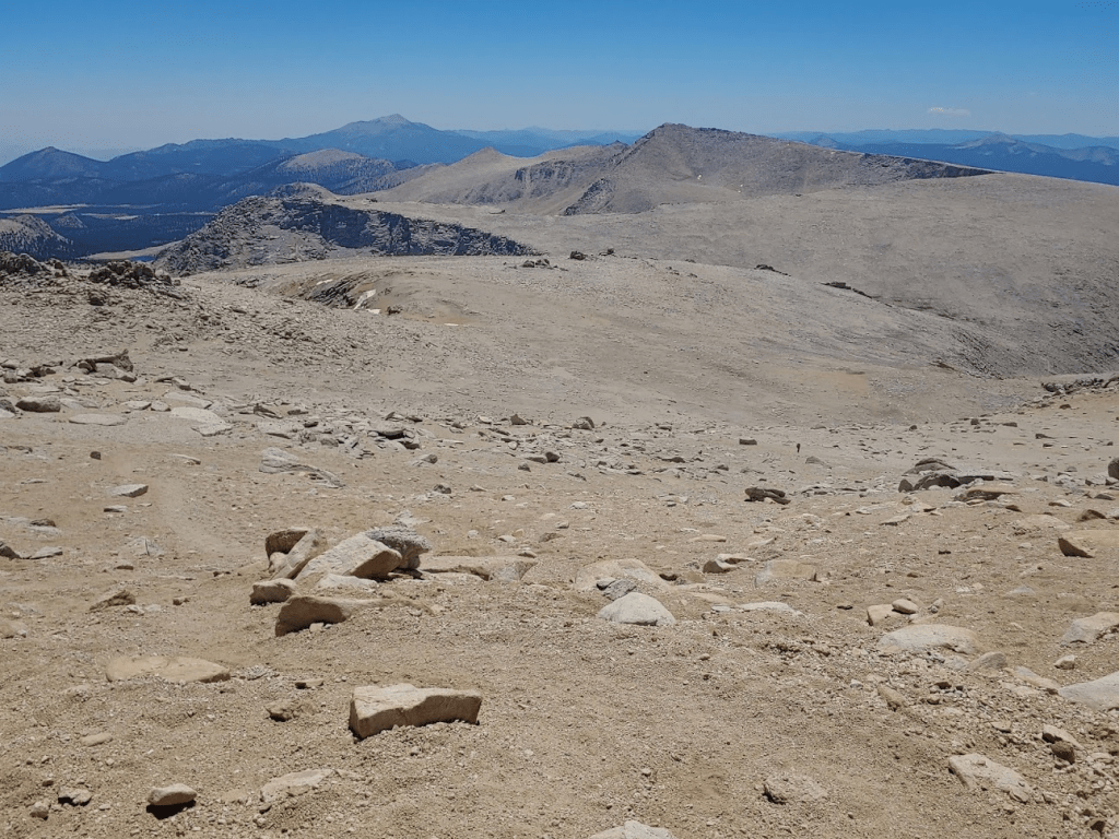
Cirque Peak was just a few miles to the south. Beyond Cirque I could make out many peaks of the Southern Sierra including Kern, Smith, Crag, Olancha, and Owens.
Like yesterday, I wasn’t in a major hurry, so I stayed on the summit nearly an hour. I felt a lot better than yesterday – having a great night of sleep can make such a big difference. I started descending at 12:28pm.
I followed the cairns down the rocky upper slopes.
I noticed some pretty yellow and purple flowers again.
I made quick time down this part. Steep sandy slopes can be so difficult to ascend, but they are easy (and kinda fun) to go down. I was able to “sand surf” down certain portions.
At 14.61 miles I reached the top of Old Army Pass. I could see Cottonwood Lakes #4 and #5 below.

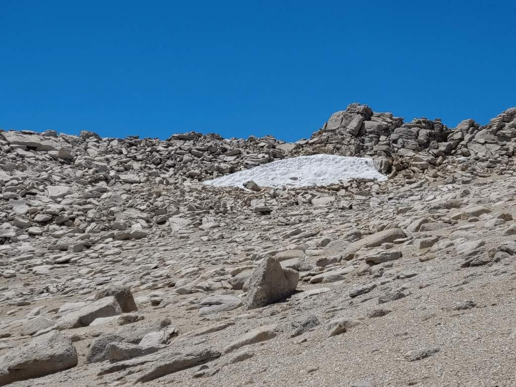
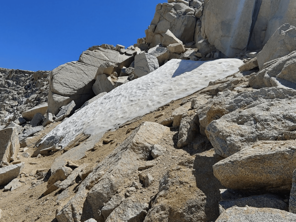
The Old Army Pass trail was steeper and somewhat more treacherous than the New Army Pass trail. There were parts where the trail was quite narrow, and I had to climb over rocks to proceed. There were some small snow fields just off the trail. I had read that in heavy snow years, there can sometimes still be snow this late in the year since the trail is on a north facing slope.
At 15.62 miles I reached the shore of Cottonwood Lake #4. I was low on water, so I filtered enough for the remaining 7 miles. I also put my legs and feet in the ice cold water which felt amazing.
I took a nice break here and enjoyed the water. I felt great even 15 miles in so really wanted to soak in the moment. I eventually continued on and reached Cottonwood Lake #5 at 15.9 miles. Each lake was so scenic I couldn’t decide which one was my favorite.
This is an extremely popular place for backpackers. Many simply hike up and spend the weekend here. Others spend the night here and use it as a base camp to climb Langley over a 2 or 3 day trip. I continued on and reached Cottonwood Lake #3 at 16.36 miles.
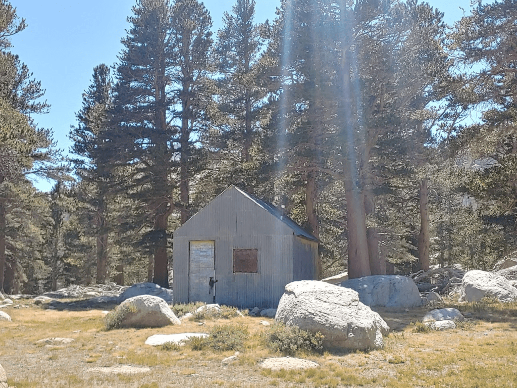
At 16.85 miles I passed one more unnamed lake.
Near this lake I saw an old cabin off to the side of the trail.
Beyond this point the trail enters the forest once more.

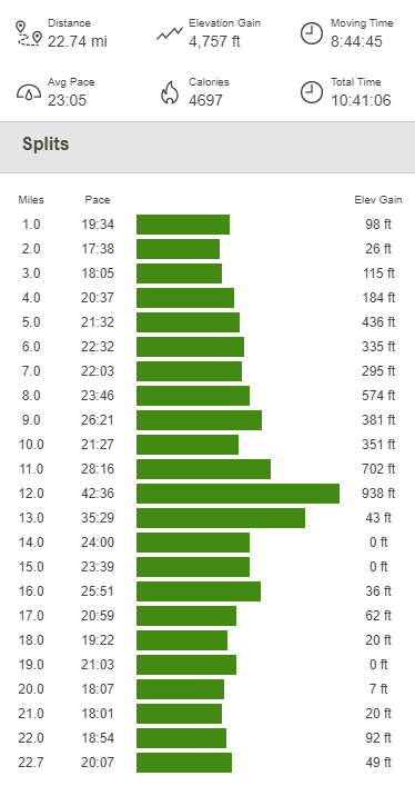
At 18.69 miles I reached the fork where the New Army Pass and Old Army Pass trails split apart. From there it was 4 miles back to the trailhead. I finally reached the car once more at 4:57pm. This hike totaled 22.74 miles, 4757 feet elevation gain, and 10:41:06 total time.
Alabama Hills High Point 08/08/2020
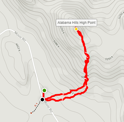
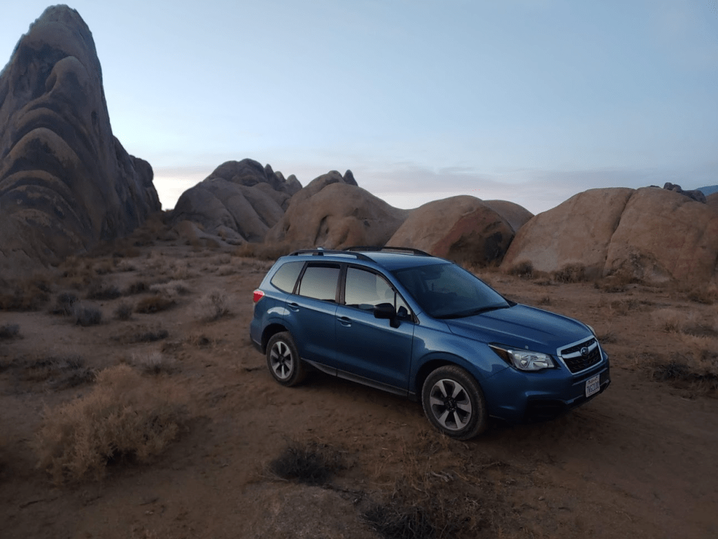
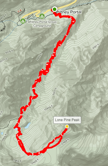
What a hike! This was probably one of my favorite hikes I had ever done. The lakes were absolutely beautiful, and the summit views were incredible. I ate some dinner and then left the trailhead. I drove back down to Lone Pine where I filled up my gas tank and got some ice for my cooler. I had a little time to kill, so I decided to explore the Alabama Hills a little. The Alabama Hills are a group of small hills and rock formations in the desert west of Lone Pine and east of the Sierra. They have famously been used as the set for dozens of old western films. I decided to climb the high point of the small range, which is 5381 feet above sea level. I drove west from Lone Pine on Whitney Portal Road and then turned right (north) onto Movie Road. Movie Road is a well graded dirt road that cuts through the middle of the hills. I parked about a half mile southwest of the high point and started hiking at 6:51pm from 4747 feet.
The temperature was 88 degrees when I started, but the sun was low enough that it was pretty comfortable. Quite a difference from the 37 degrees I hiked in this morning! I scrambled up the south side of the peak and reached the summit at 7:09pm. It took only 18 minutes to cover the half mile to the summit. The views were awesome for such an easy hike. Mount Whitney towered 9000 feet above me.
I thought about how awesome this view must be during the winter when the mountains are covered in snow. I also had a great perspective of the peak I intended to climb the next day, Lone Pine Peak. At just under 13,000 feet, Lone Pine Peak is 1500 feet lower than Whitney, but it is often mistaken for Whitney due to Whitney being several miles behind it. Lone Pine Peak is actually one of the most visually prominent peaks I had ever seen.
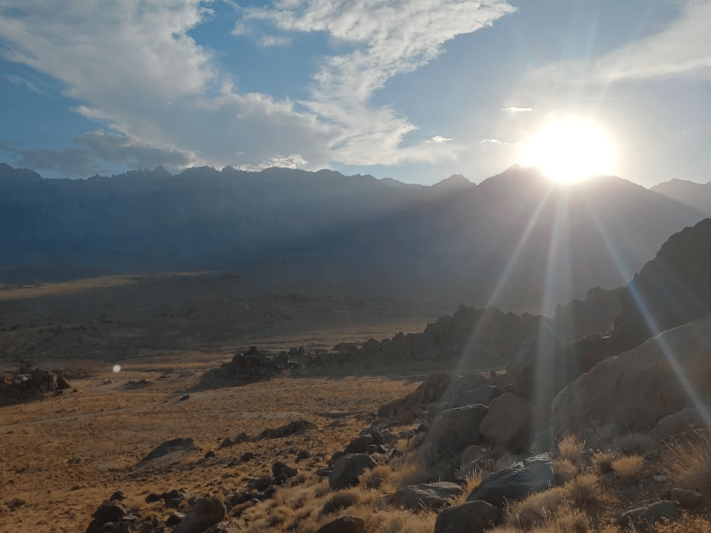
The sun was beginning to set over the peaks to the northwest.
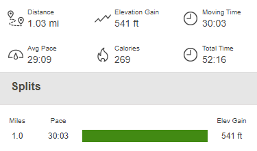
I hung out for a bit on the summit soaking in the views. I returned the way I came and reached the car at 7:43pm. This hike was 1.03 miles, 541 feet elevation gain, and 52:16 total time.
I drove around for a bit and found a nice spot to pull off the road and spend the night. This area is very popular for dispersed camping, so it was actually kind of difficult to find a spot. Unfortunately, it was very warm, so I did not have a great night of sleep.
Lone Pine Peak 08/09/2020
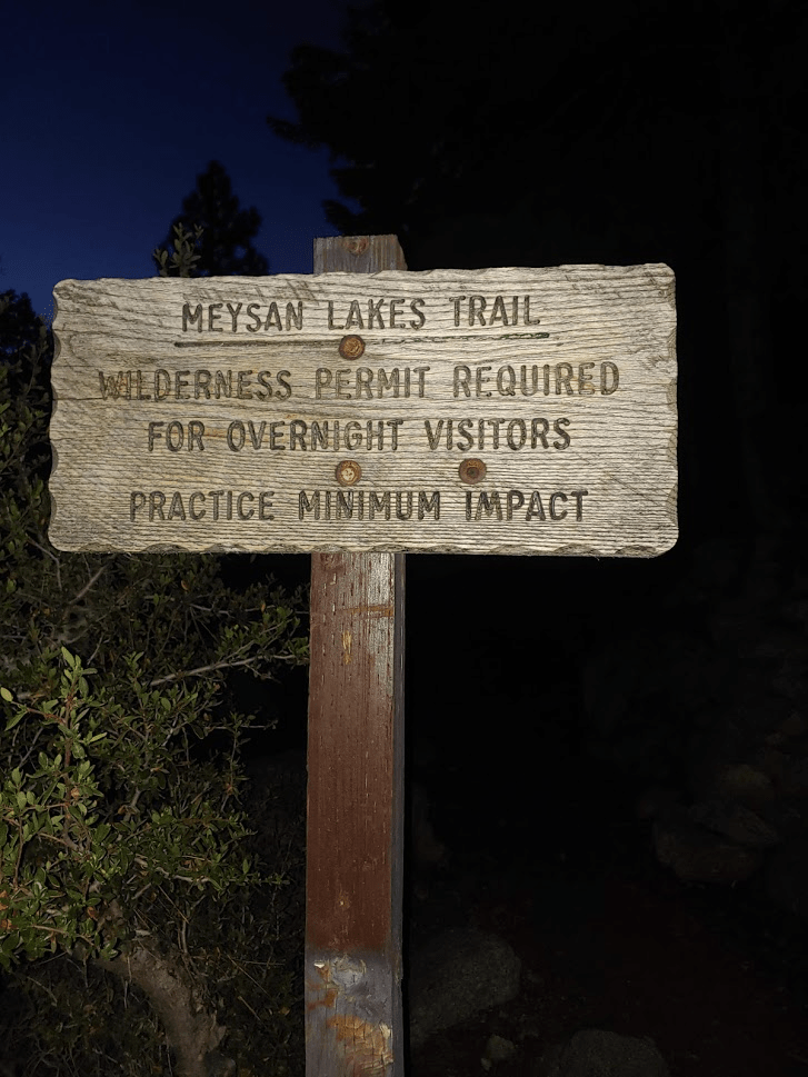
My plan for Sunday was to climb 12,944 foot Lone Pine Peak. I intended to take the Meysan Lakes Trail for about 4.5 miles/3000 feet and then climb the remaining 2 miles/2000 feet from there. I wanted to get an early start since I had to drive home afterwards, so I got up at 4:15am. I had about a 20 minute drive from the Alabama Hills up to the Whitney Portal Campground. There is designated parking for the Meysan Lakes Trail off to the side of the road near the campground. I wished I had driven up here the night before to sleep since it would have been much cooler at 8000 feet instead of 5000. I had read that camping is not allowed at the trailhead, but no one would have noticed or cared if I had slept in my car (this is another popular trail for backpackers so there were many cars parked there overnight). Oh well, lesson learned. I started hiking at 5:27am from 8043 feet. I had to walk through the campground to reach the trail. I went by some summer homes before reaching the trailhead at 0.3 mile (I had no idea there were summer homes up here).
The trail goes up from the campground a short way and then follows a road past some more summer homes. The trail then leaves the road and heads into the forest at 0.5 mile. It was just light enough that I didn’t bother to put on my headlamp. The sun was beginning to light up the sky to the east above the Inyo Mountains.
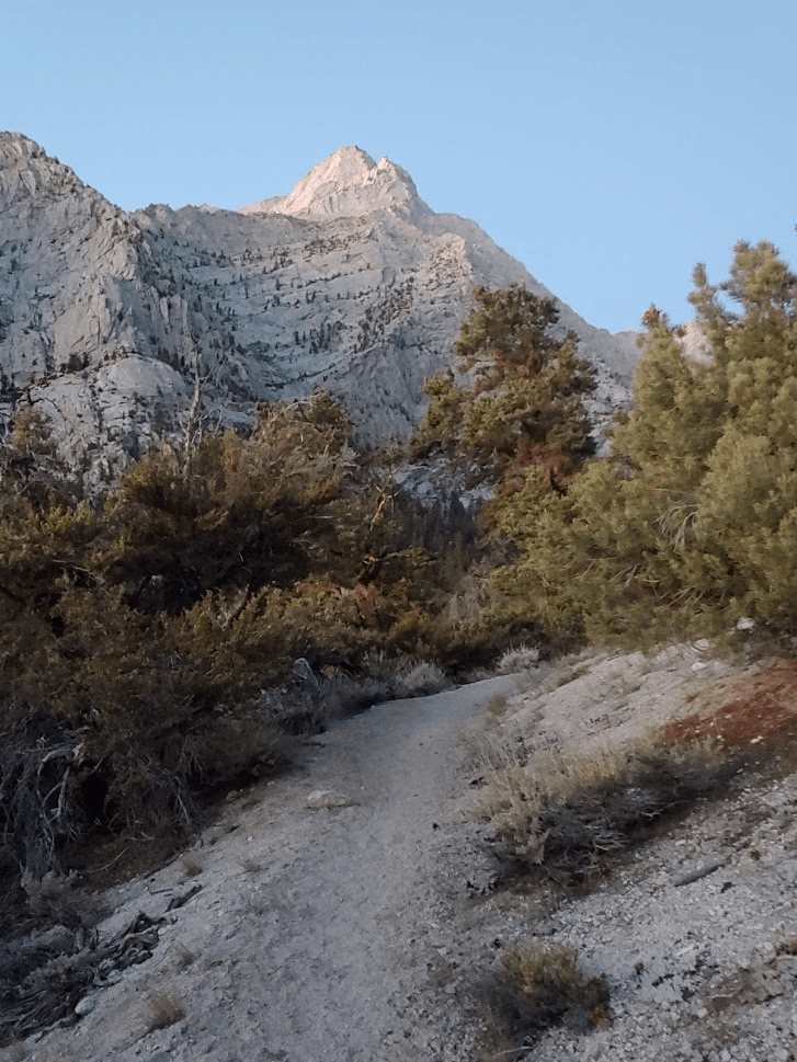
Lone Pine Peak came into view almost immediately. It looked very far away almost 5000 feet above me.
The trail starts climbing immediately and never really stops. This was very different than the previous days’ hikes which both had large stretches of flat hiking at the beginning.
At 1.17 miles I entered the John Muir Wilderness again.
At 6:13am the sun finally poked out above the Inyos to the east.
The trees started to thin out as I climbed higher. This trail had a much more desert-like feel to it than the previous 2 days. Lone Pine Peak is on the very eastern edge of the Sierra so is quite a bit drier than neighboring peaks.

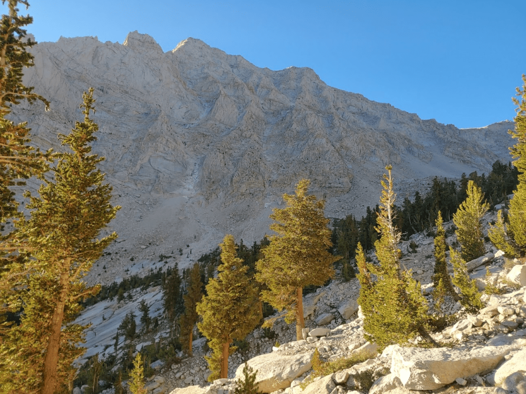
Lone Pine Peak did not look any less intimidating as I got closer to it. It was really just a massive wall of granite.
Around 3.75 miles the trail started to get even steeper.

At 4.48 miles I saw a large bird in the middle of the trail. It didn’t seem scared of me, so I waited for it to hop out of the way.

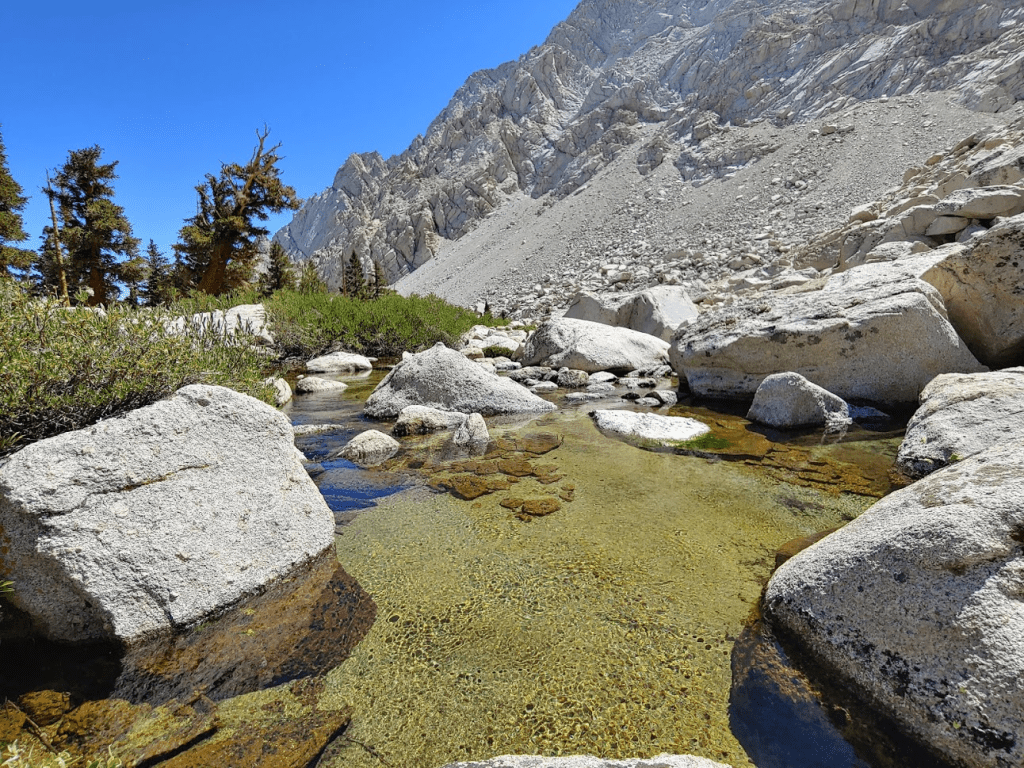
Just after the bird I passed 2 hikers on their way down. These 2 would be the only people I would see on my way up. At 4.74 miles I left the trail and went towards Grass Lake.

I hiked through some light brush and reached Grass Lake at 4.93 miles. I had climbed nearly 3000 feet already.

Lone Pine Peak was about 2000 feet above me still.
I went around the lake and crossed a small creek.

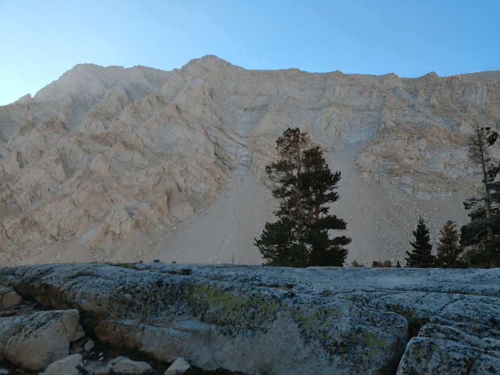
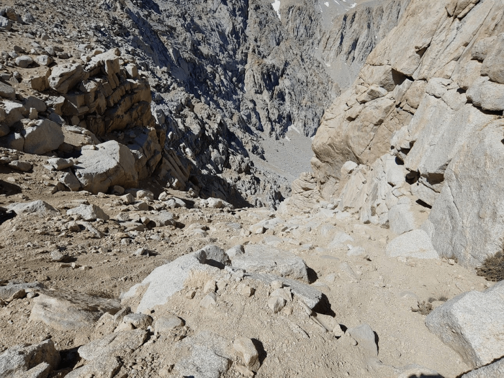
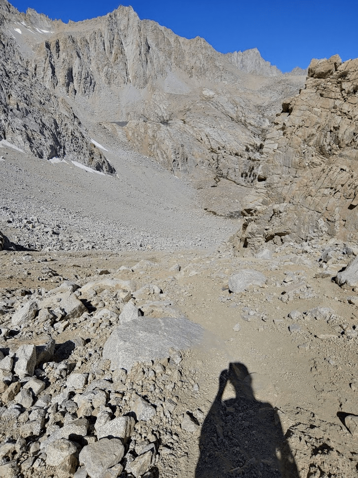
From here, it was straight up. The sandy chute on the right-center of the picture below was my ascent route.
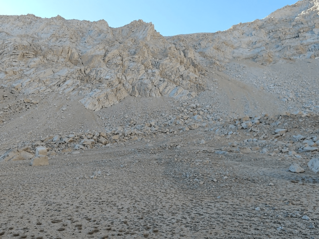
One of the reports I had read described this as the “sand chute from hell.” I found that to be very accurate. It was honestly some of the most difficult climbing I had ever done.
There were footprints in the sand that I tried to follow as best I could. Poles are absolutely necessary here.

I eventually reached the top of the chute onto the summit plateau around 12,400 feet. The grade lessened beyond this point but was still difficult. Similar to Friday, I could feel the lack of sleep and the altitude getting to me.
There were some larger boulders near the top that I had to hop over.

I reached the summit at 9:41am at 6.87 miles!
There were 2 register books, but they were both completely full. I managed to sign my name on a small corner of one sheet of paper. The views, of course, were spectacular. Most impressive was Mount Whitney. It occurred to me that I had gotten slightly closer to Whitney each day and the view of it got a little more spectacular each time.

Directly east I had a great view of Meysan Lake with Mount Mallory and Mount Irvine towering over it.

Below Meysan Lake I could see Grass Lake.
To the south was Mount Langley.
To the north was Mount Williamson, California’s 2nd highest peak.

To the east I could see the Inyo Mountains and the many desert mountain ranges of Death Valley National Park. It was much less hazy than the previous 2 days. This was the first time I could clearly make out Telescope Peak in the distance.
I was very exhausted and really not feeling great due to lack of sleep. I ate up the rest of my snacks and chugged some water and Gatorade. I began descending at 10:30am.
I made it across the summit plateau and reached the top of the chute.
I had to go slow over some sections to avoid slipping, but I was able to “plunge step” down the really sandy portions.
I was very happy to reach the bottom of the chute. At 8.4 miles I reached the small creek again. I hadn’t really been planning to filter water on this hike, but I was pretty low, so I decided to get an extra liter. I also put my legs and arms in the water which felt wonderful. I was completely covered in a layer of dust, so it felt great to wash it off.
After a nice break (and bath) I continued on. I reached Grass Lake at 8.55 miles.

I went around the lake and got on the trail once more.

From this point it was about 4.5 miles/3000 feet back to the trailhead. I felt much better now that I was below 11,000 feet again. It was starting to get pretty warm.

I passed a few hikers going each way on the way down. I finally reached the car once more at 1:46pm. This hike was 13.52 miles, 5292 feet elevation gain, and 8:18:39 total time.

What a weekend! The Eastern Sierra is really a magical place (and it blows my mind that it’s less than 5 hours away). The 3 peaks I climbed were all incredible, especially Mount Langley. I can’t wait to come back!
