Dragons Head (10866 ft) and Bighorn Mountain (10997 ft) are 2 HPS peaks located just south of San Gorgonio. They are the 3rd and 4th highest peaks on the HPS list. My plan was to climb them both in a long day hike from the Vivian Creek Trailhead, which is the most popular trailhead for those going to San Gorgonio. The trailhead is on the south side of the wilderness so I figured there would be much less snow than what I found the week before on the north side. I got a late start, not leaving San Diego until 6:30am. The road was gated a little before the standard trailhead, so I had to park at the picnic area. I began hiking at 8:55am from 6010 feet above sea level.
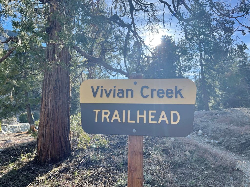
I walked through the picnic area and reached the trailhead. I then hiked east on the dirt road that parallels Mills Creek.
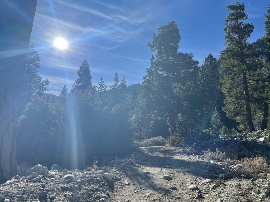
At 0.7 mile I crossed Mill Creek.

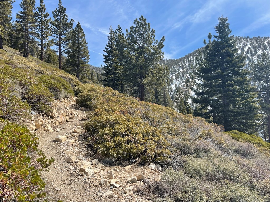
I reached the north side of the creek and then proceeded up the trail. The trail gets steep right away beyond the creek crossing. There were a few viewpoints where I could see the snow-covered Yucaipa Ridge behind me.

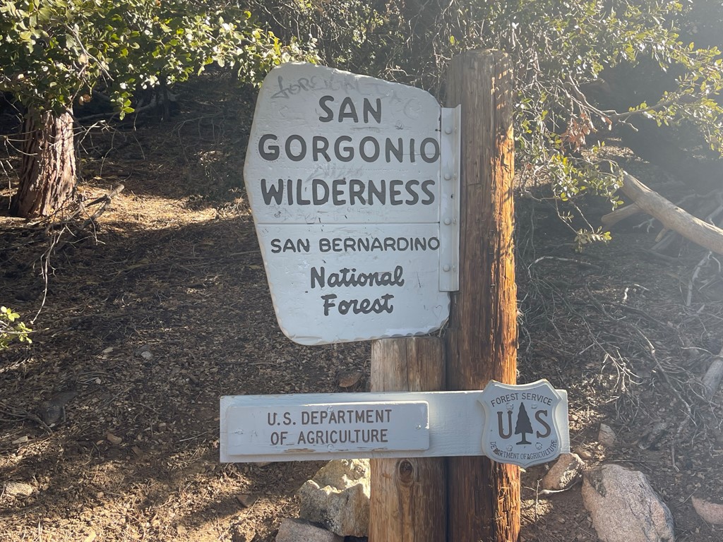
I passed a guy with backpacking gear on his way down. Apparently, his hydration system had “failed” so he was abandoning his hike. At 1.5 miles I reached the wilderness sign.
Soon there began to be icy snow patches along the trail.
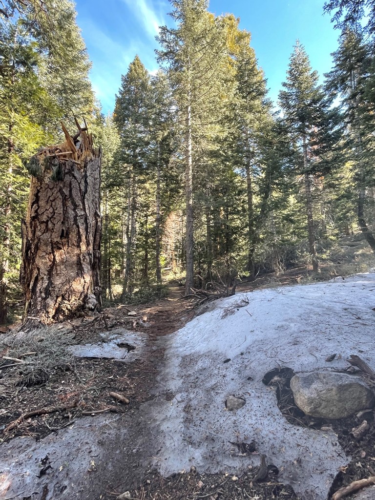
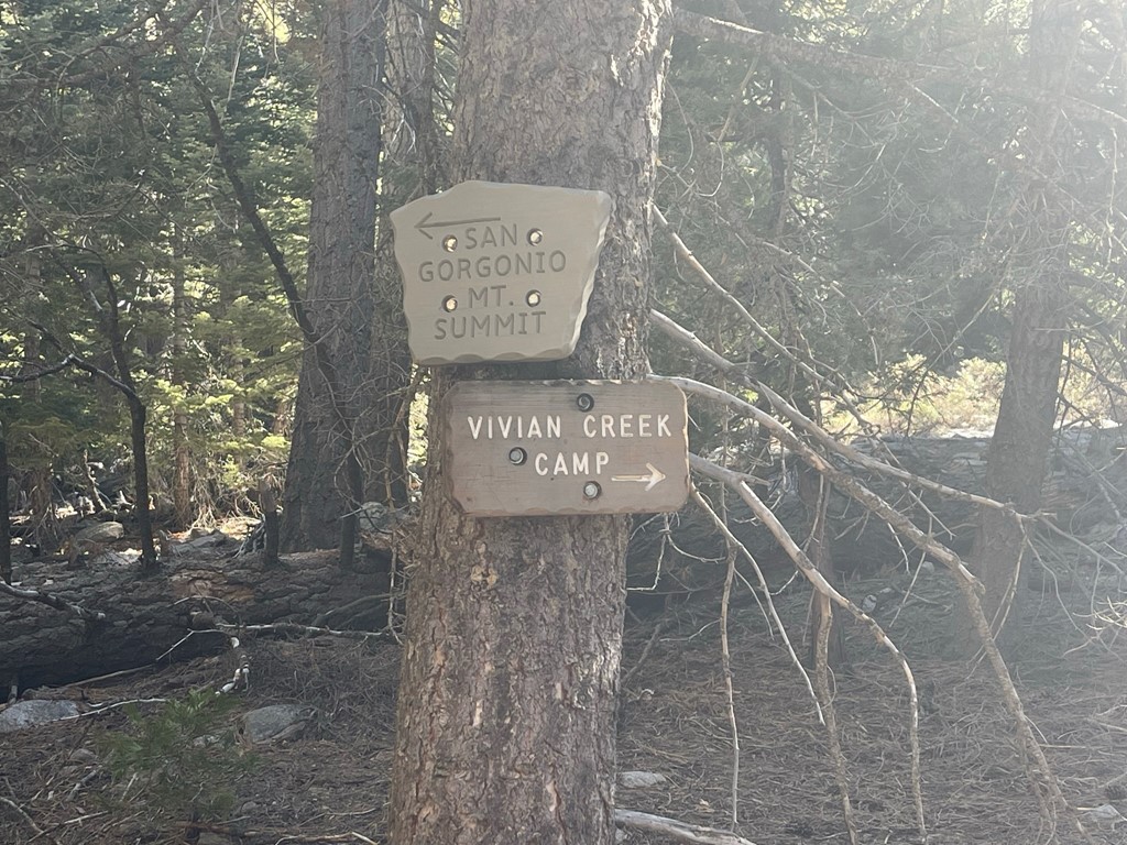
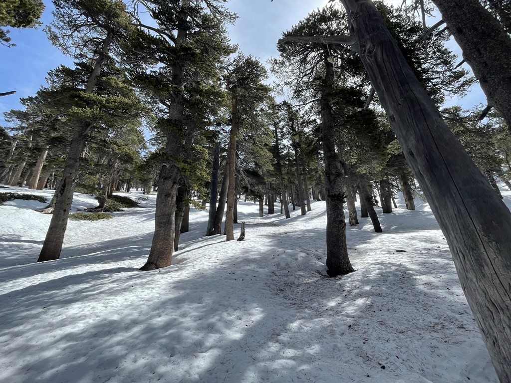
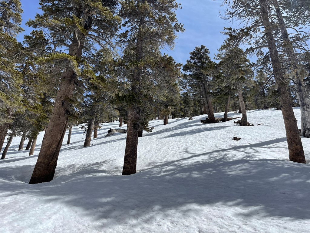
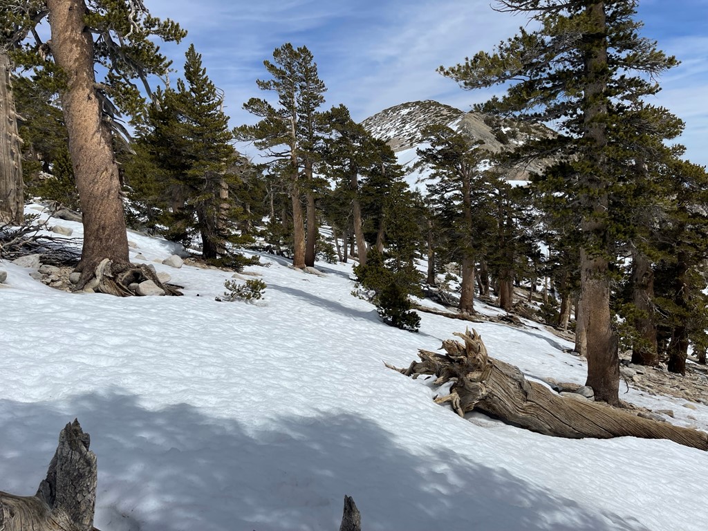
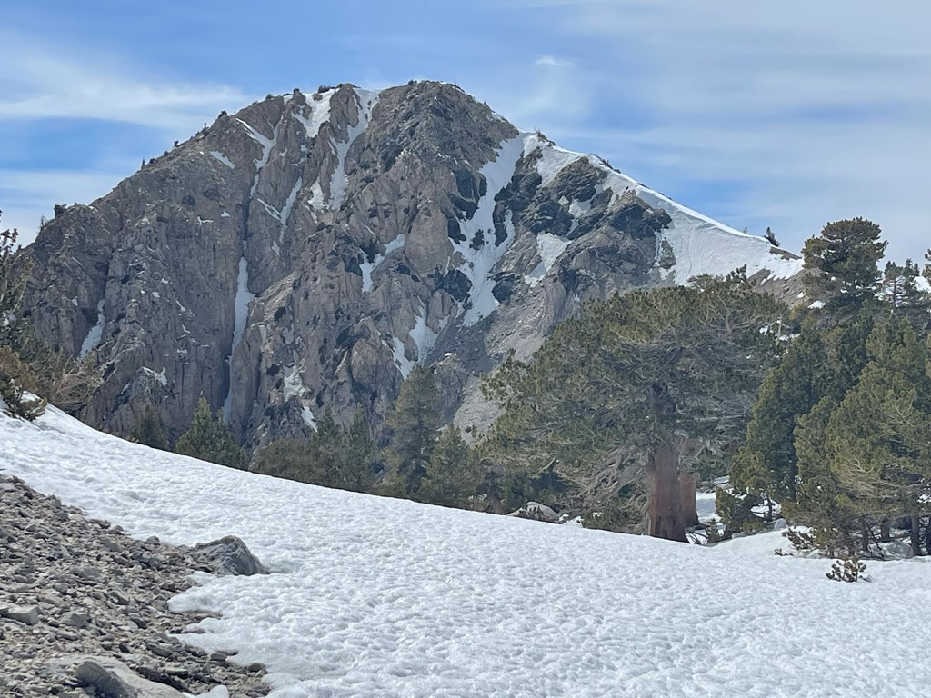
At 1.7 miles I passed Vivian Creek camp, the first of 3 backcountry campsites along the trail.
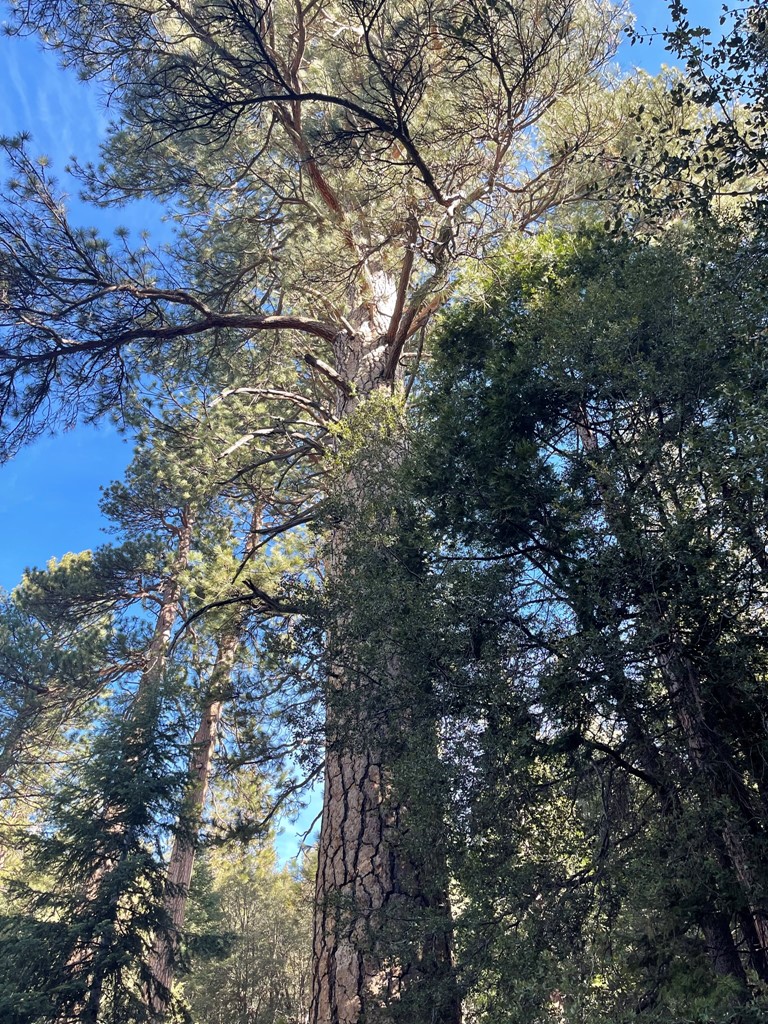
There are some massive trees in the vicinity of the camp. These must be some of the biggest trees in Southern California.
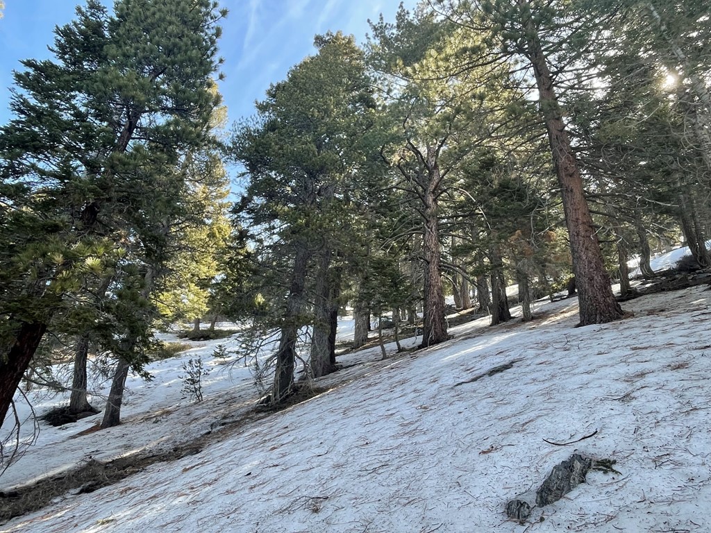
I proceeded east past the camp. There was more and more snow on the trail as I climbed higher.

At 4.2 miles I reached a set of switchbacks between Halfway Camp and High Creek Camp. I put on my crampons, left the trail, and proceeded directly up the icy slope. This was around 8400 feet.
Despite the warm weather, the snow was smooth and easy to climb up.
I reached the top of the switchbacks around 9000 feet. I found the trail again and continued east. This section of trail was dry, so I removed my crampons.
I reached High Creek Camp at 5.2 miles. This is the highest of the 3 camps along the trail, and an excellent location to spend the night for those climbing San Gorgonio over 2 days.


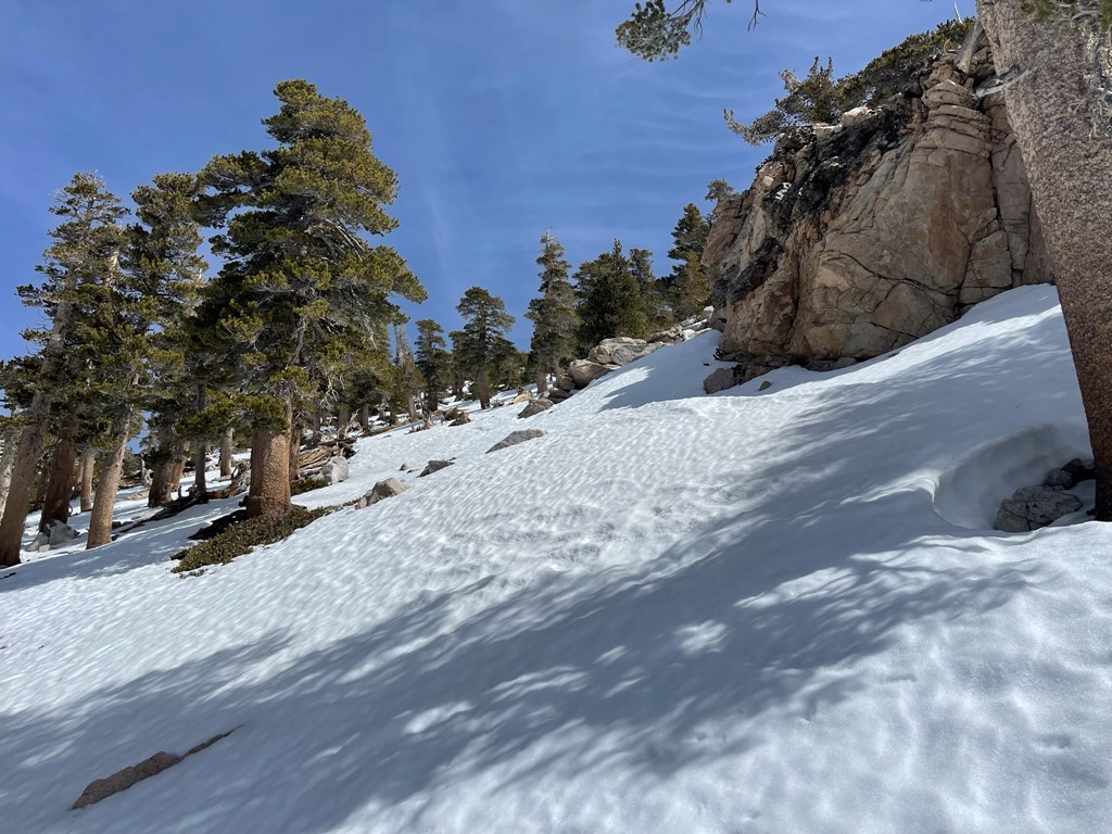
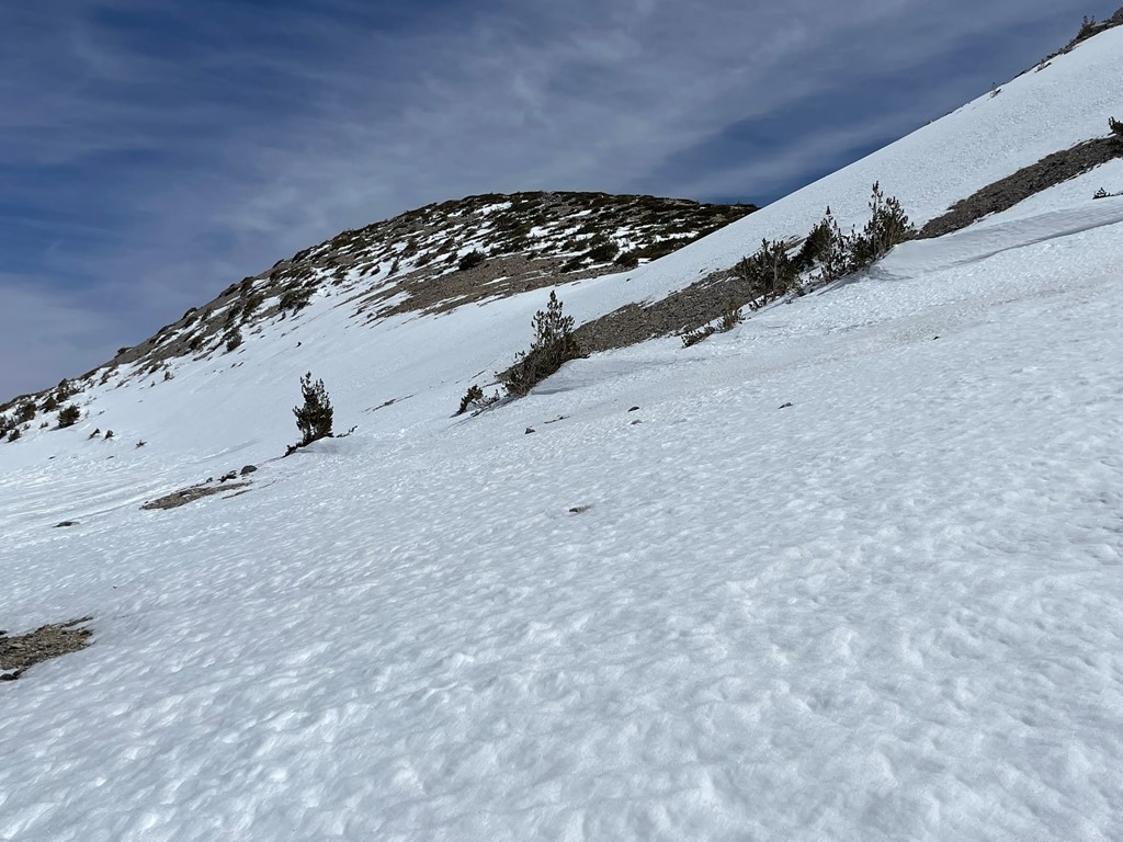
There is another series of switchbacks above High Creek. They were covered in snow so I left the trail, put my crampons on, and climbed directly up the steep icy slope.
I was able to follow a boot pack for most of the way up.

I reached the top of the switchbacks around 9800 feet. San Gorgonio (left) and Dragons Head (right) came into view. Bighorn was hidden behind Dragons Head.
I found the trail again and followed it for a short way as it turned north. I took off my crampons again for a short stretch.
I left the trail at 6 miles and descended about 100 feet into a small gully just west of Dragons Head. I put my crampons on again and climbed directly up the steep western side of Dragons Head.
The snow was pretty firm, so I made good time up the icy slope. It wasn’t very deep so even when it was soft I didn’t post-hole too badly.
I gained the mostly dry ridge around 10500 feet. I took off my crampons once again.

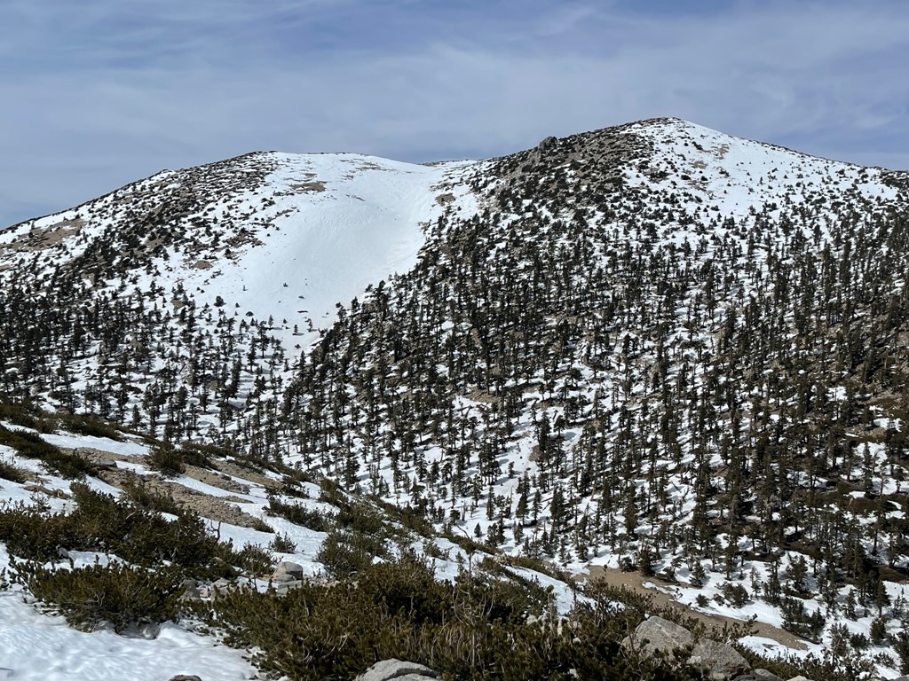
I reached the summit at 1:18pm at 6.7 miles! I did not locate a register. It was warm enough that I was comfortable in short sleeves, which seemed kind of crazy for 10800 feet in March. The views were pretty good despite some haze. I could see Bighorn Mountain ¾ mile to the east.
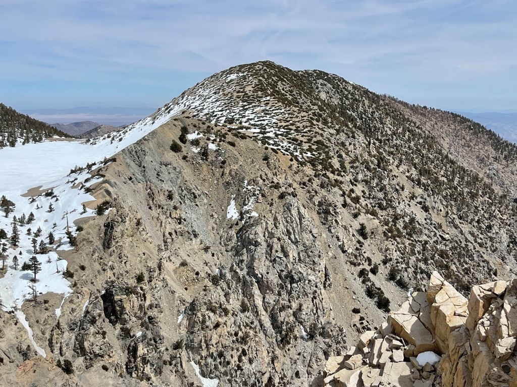
San Gorgonio (only 600 feet higher) was directly north.

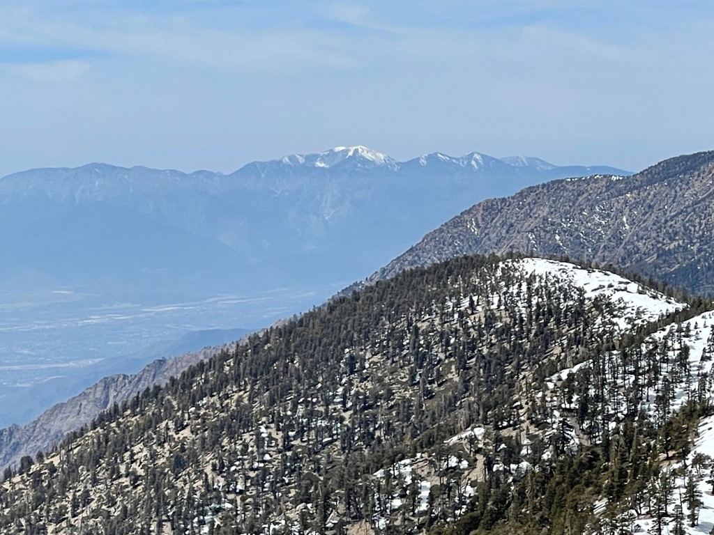
To the west I could see Mount Baldy.
I hiked north off the summit and then turned east towards Bighorn.
I reached a small lake at 10500 feet northwest of Bighorn. It is simply labeled as “The Tarn” on the topo map.

I made an ascending traverse up the slope to Bighorn.
The summit area was fairly dry.

I reached the summit at 2:11pm at 7.5 miles!

I signed the register which had been placed in 2017. The most recent entry was from February 3. San Gorgonio looked impressive from this angle as well.
To the south I could see San Jacinto.

I took a short break and then began the descent. I followed my tracks back down to The Tarn.
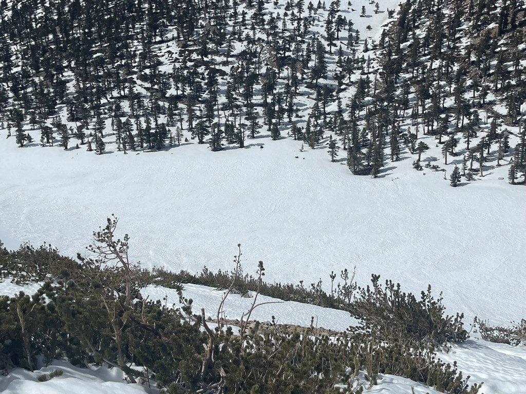
I had a nice view of the steep eastern face of Dragons Head.
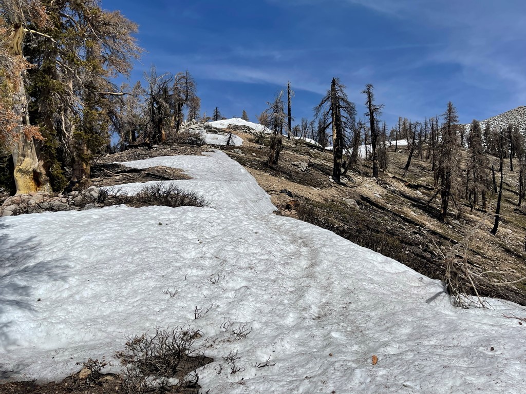
I bypassed Dragons Head by going straight down a broad gully to the north of it.

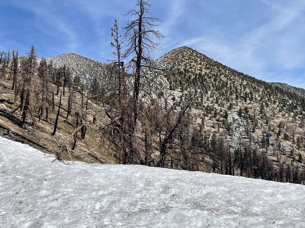
I reached the trail again at 9.1 miles. From there I made the long descent back to the trailhead. It got very warm as I got lower, and I found the snow to be pretty soft in some areas. It generally wasn’t too deep so I only post-holed up to my waist a couple times. I passed a couple groups of backpackers on their way up who were planning on summit attempts for the following day. I reached the car again at 6:14pm. Stats for this hike were 16.3 miles, 6023 feet elevation gain, and 9:21:00 total time.

I was planning to climb Charlton Peak and Little Charlton Peak via Dollar Couloir the next day, so I packed up and drove over to the South Fork Trailhead where I spent the night.
